







Gerlitzen - Hüttersteig
Úroveň obtížnosti: T3
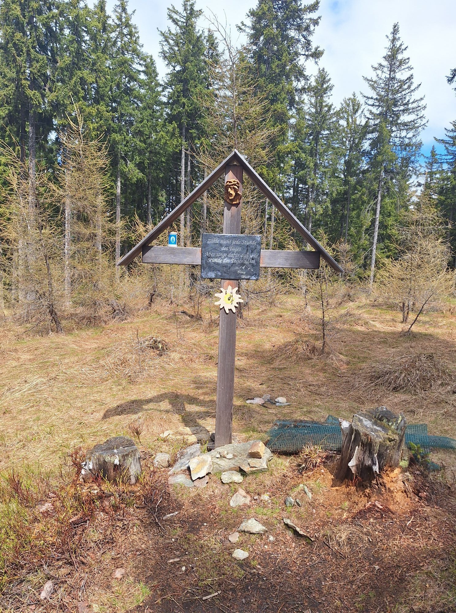
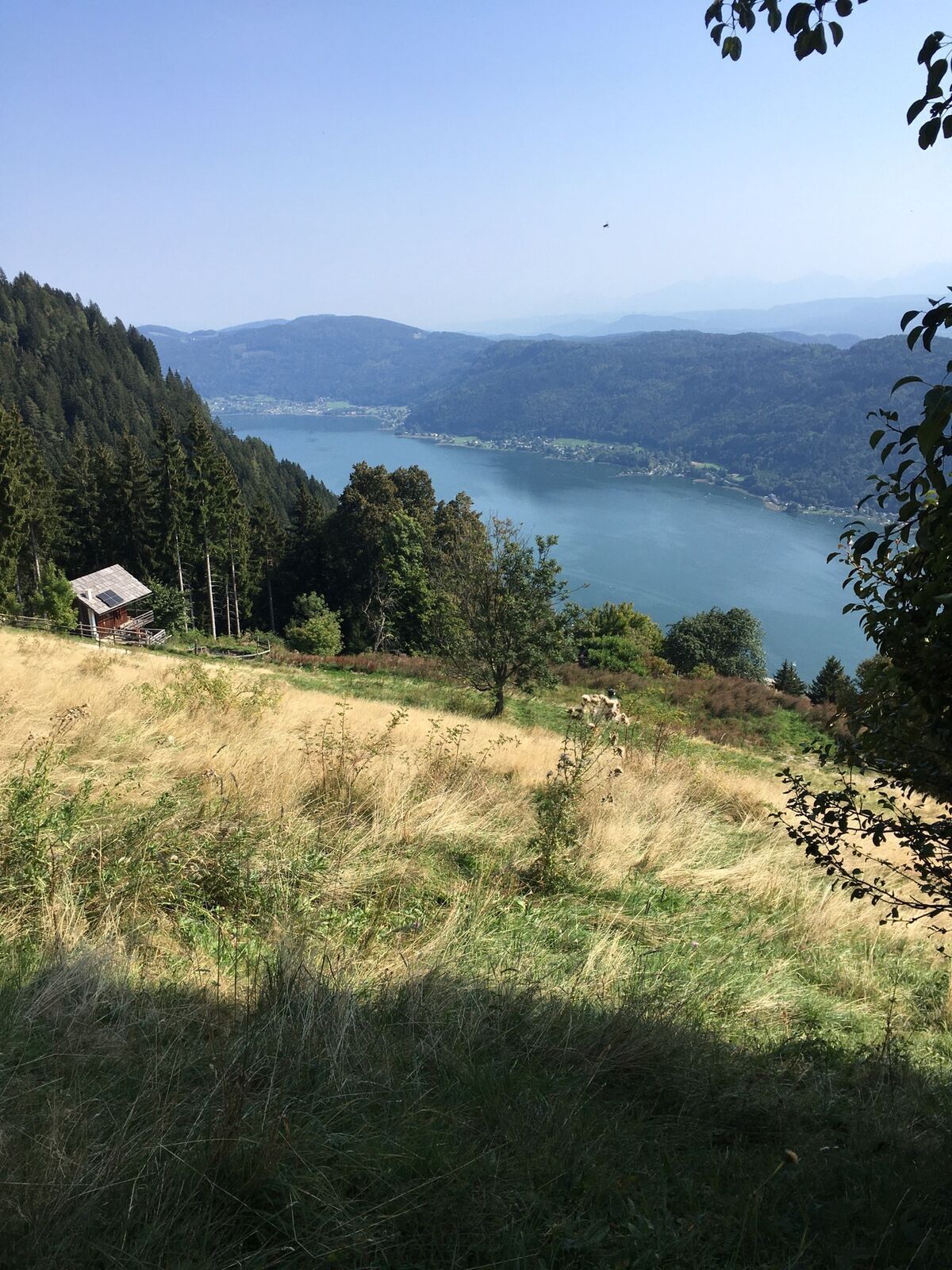
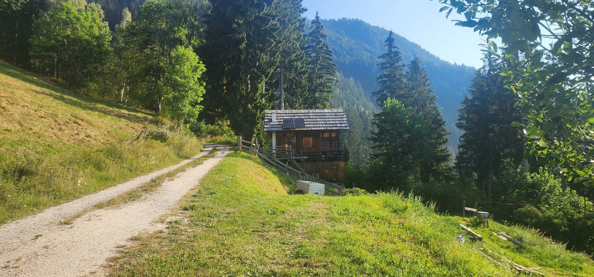
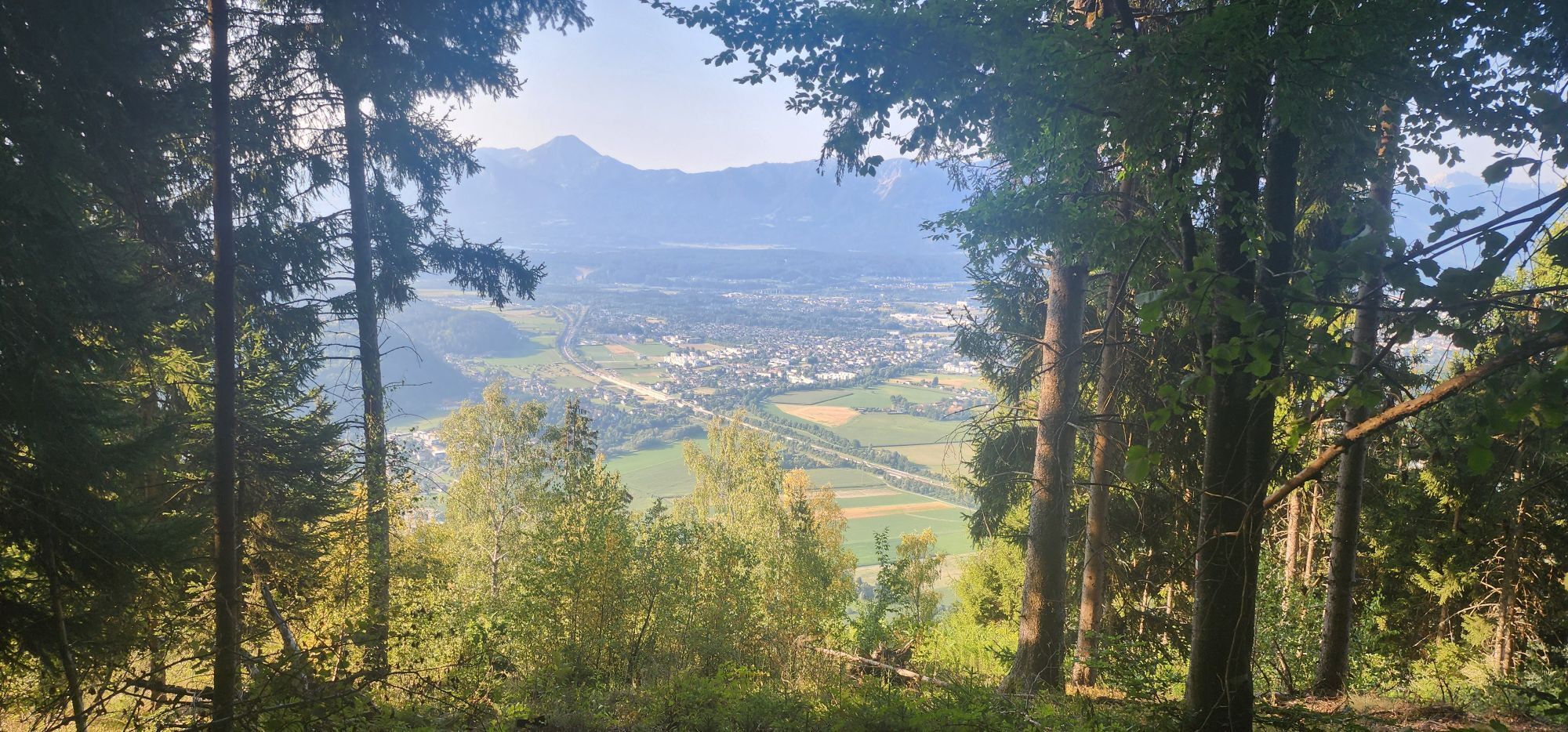
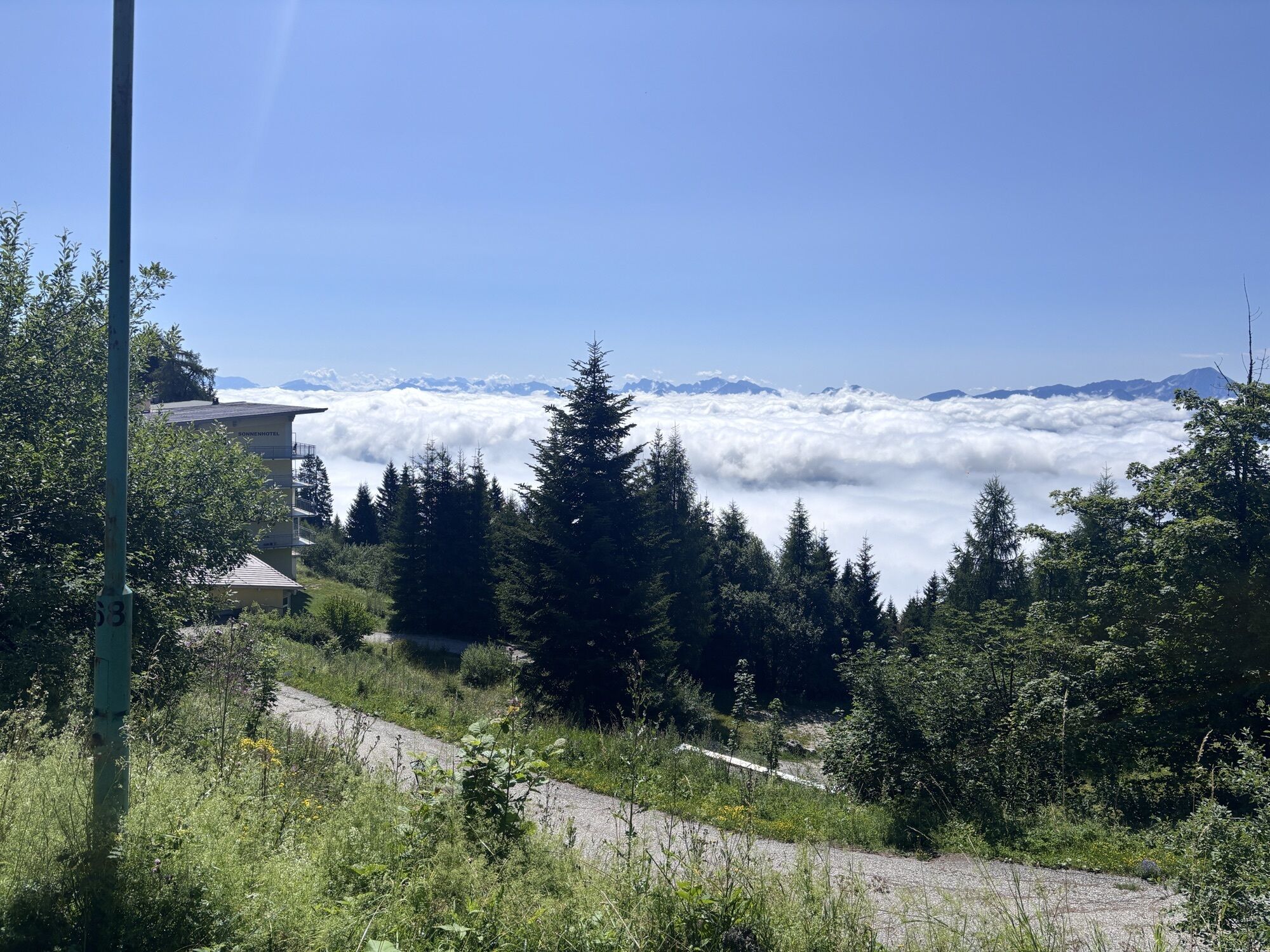
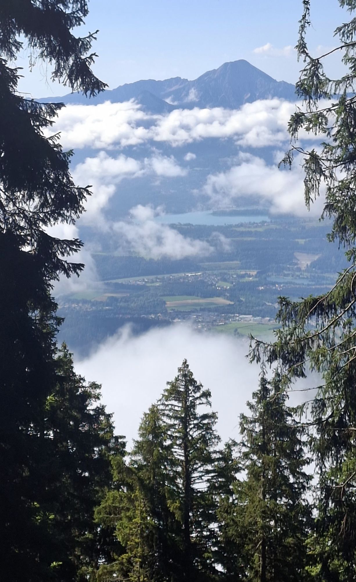
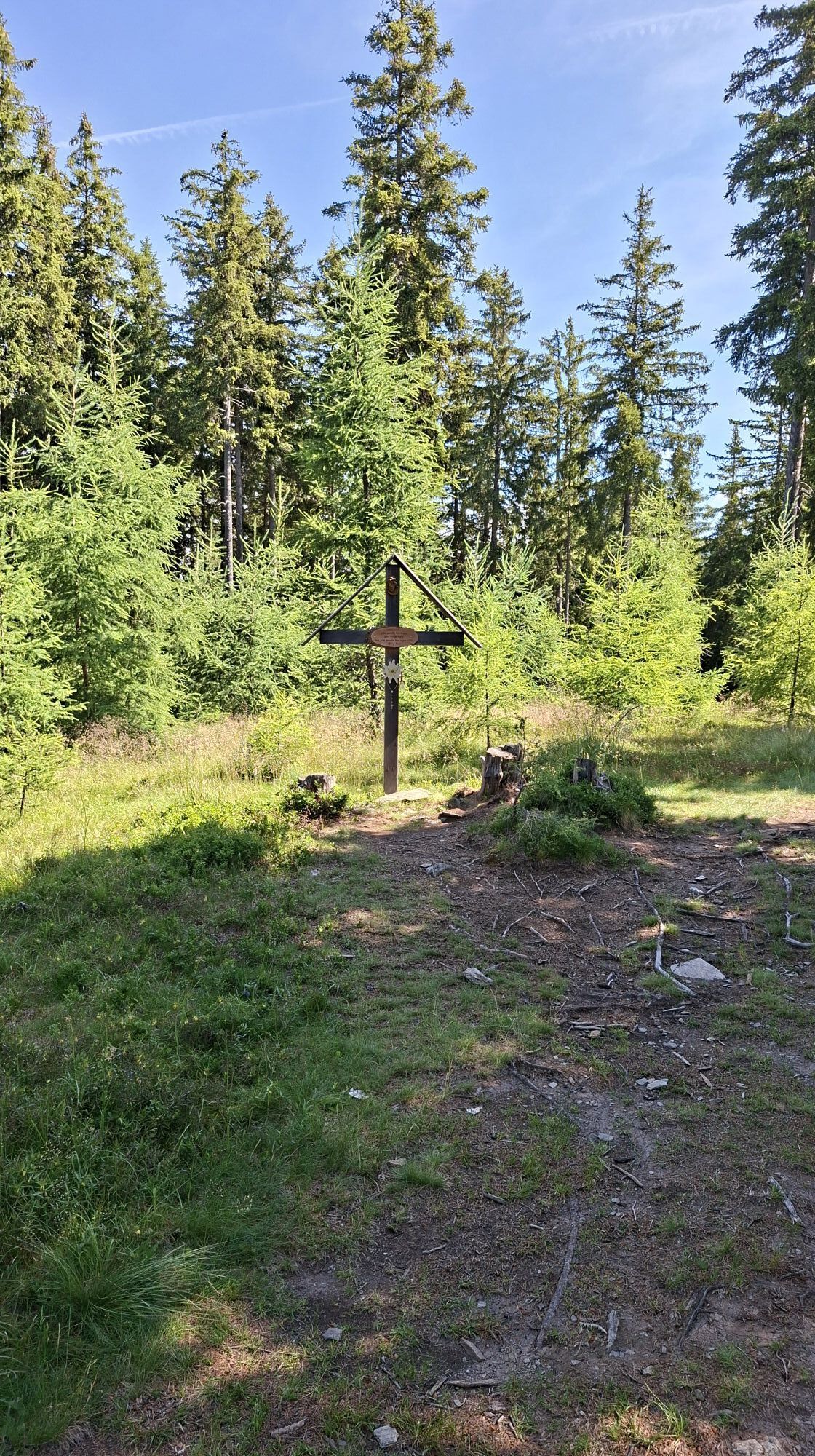
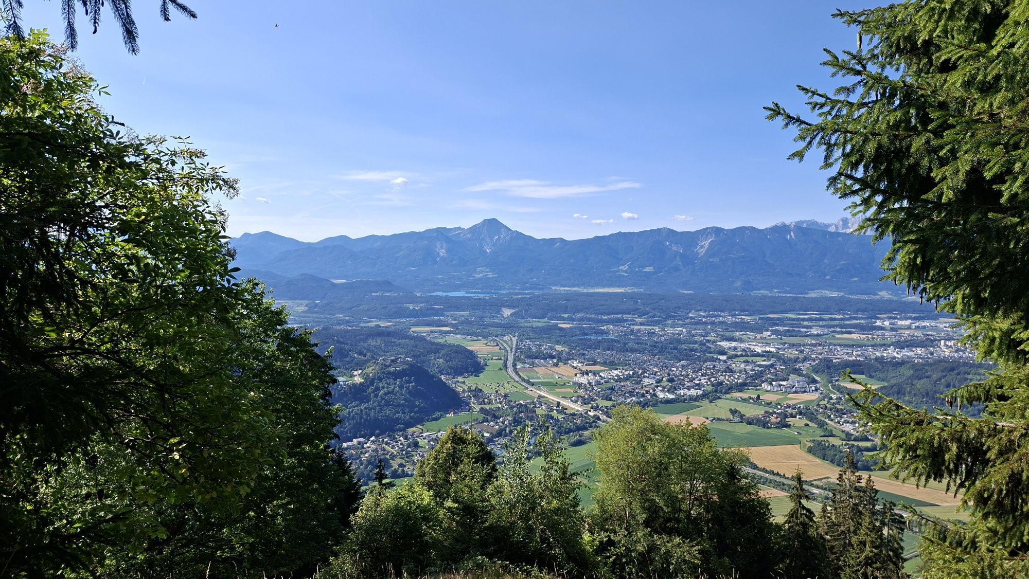
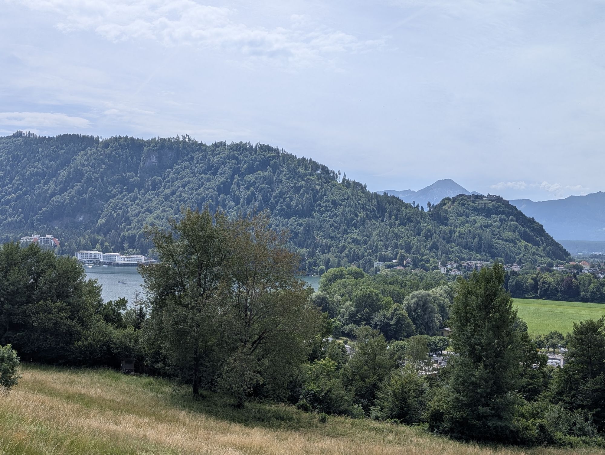
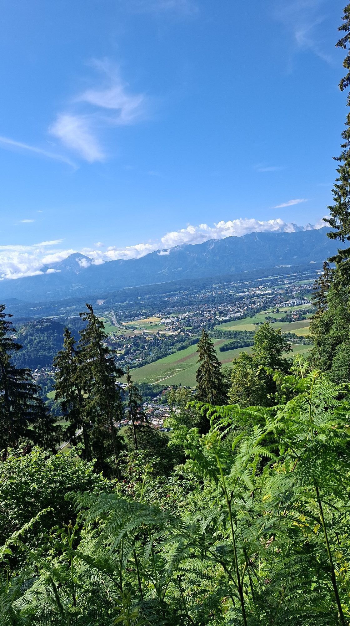
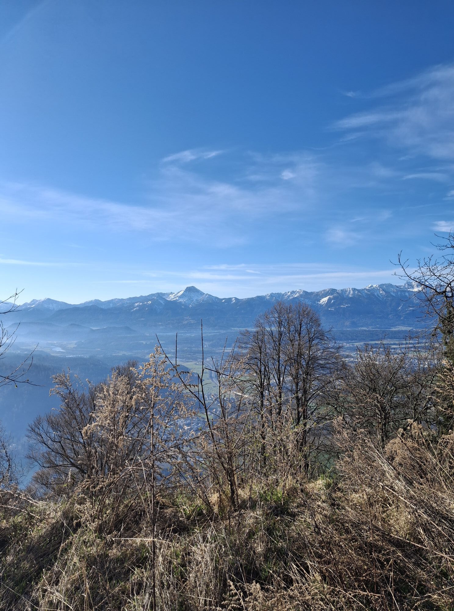
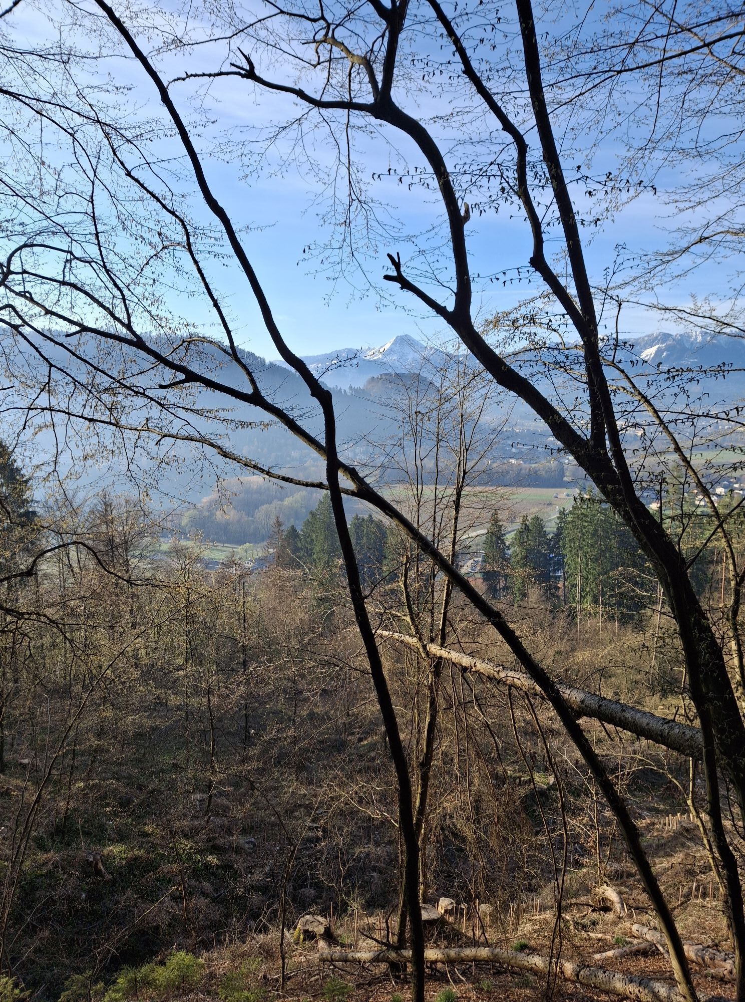
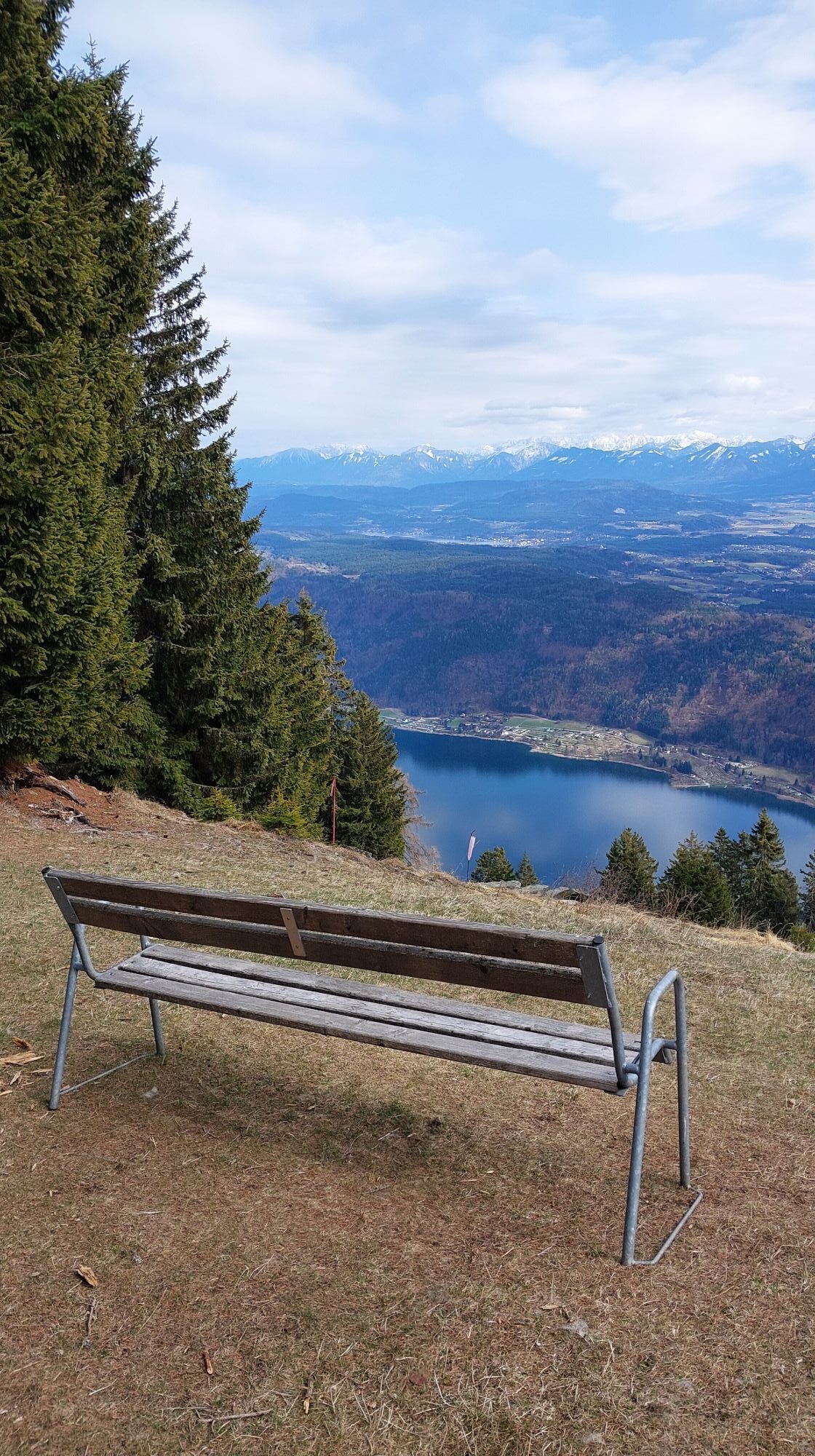
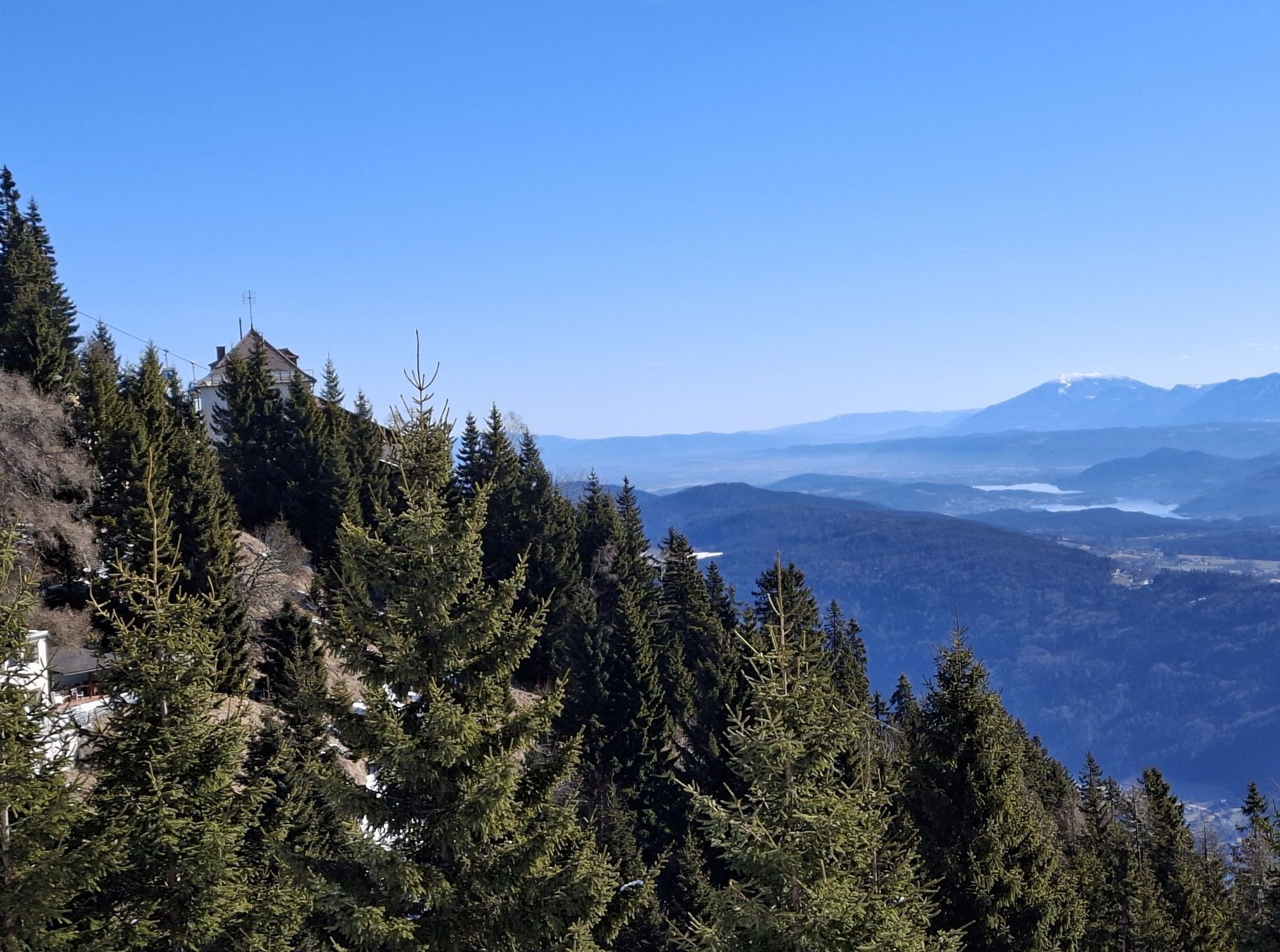
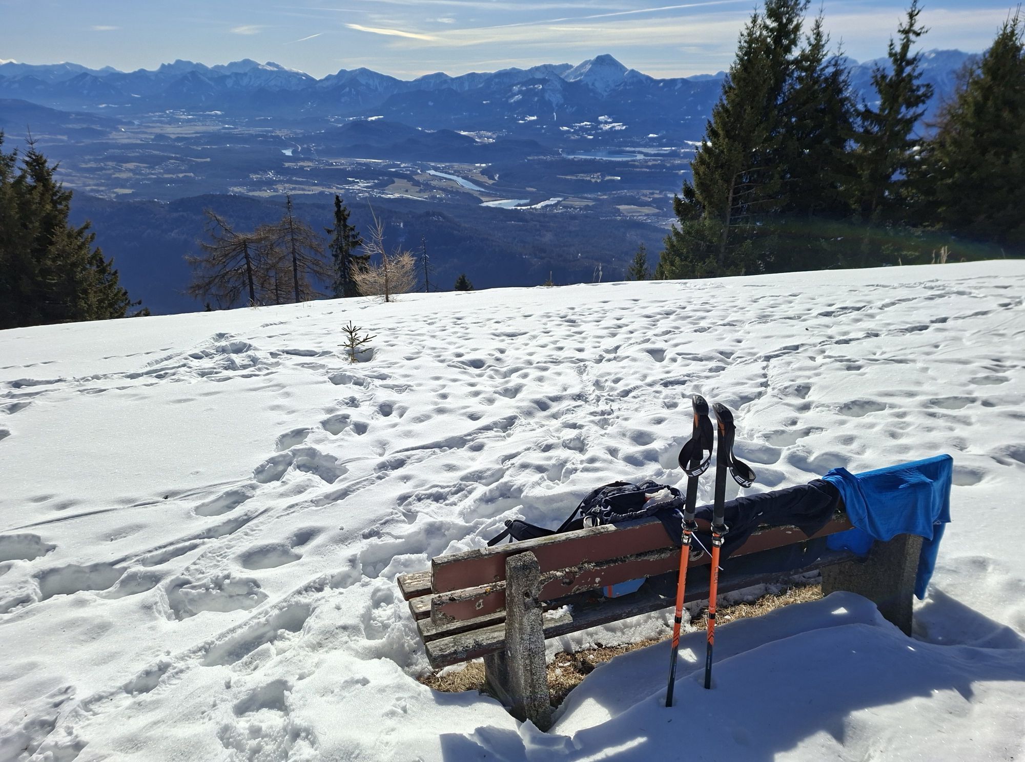
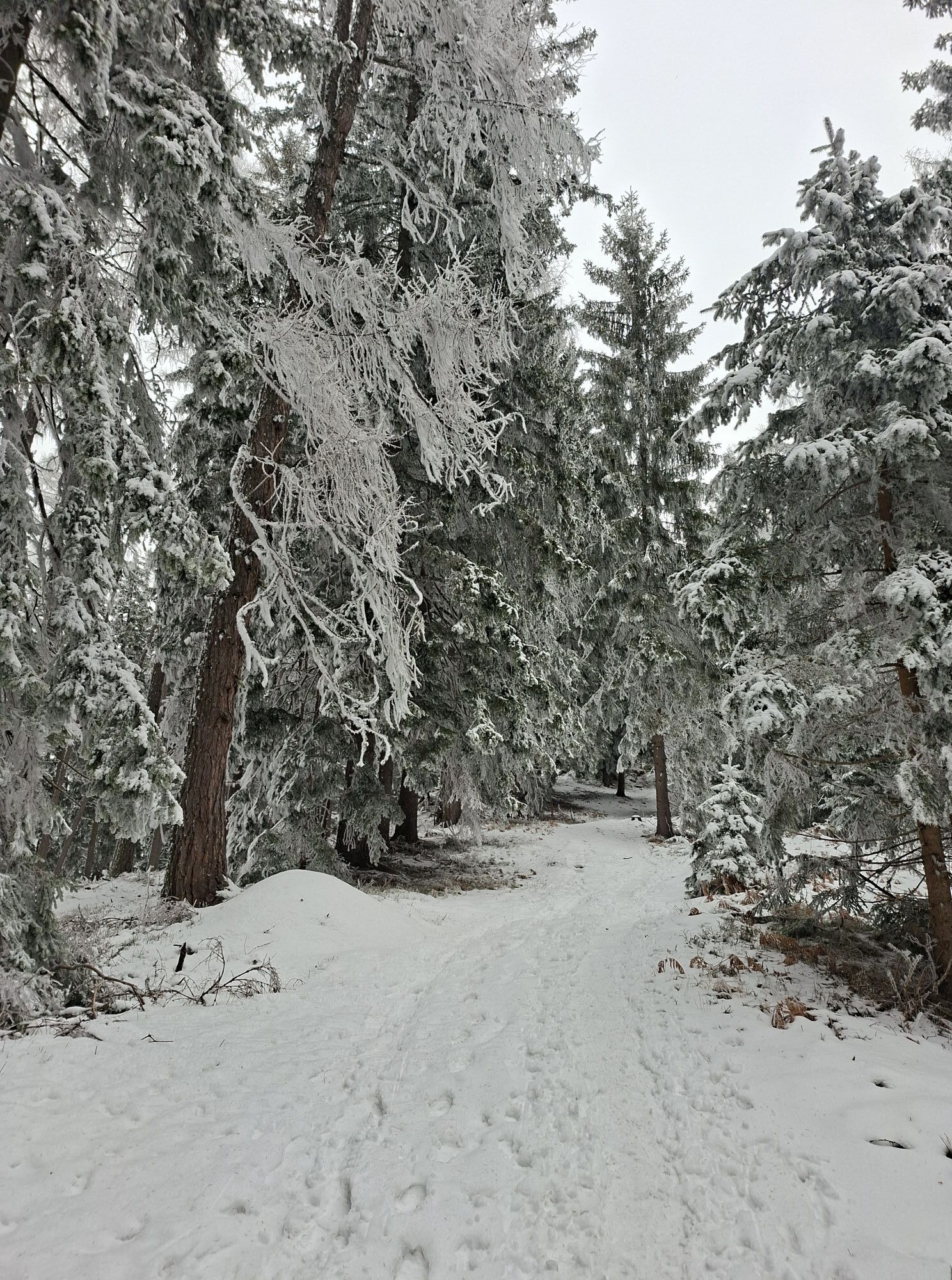
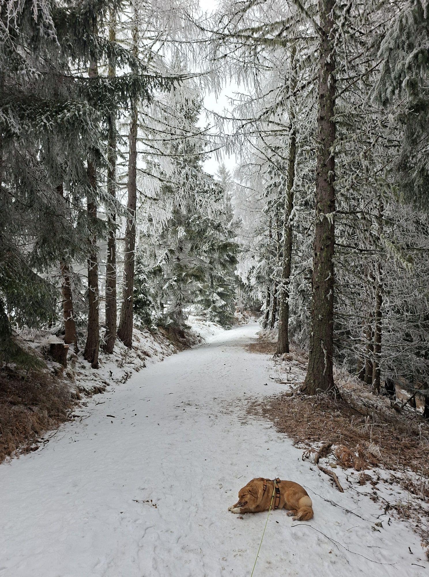
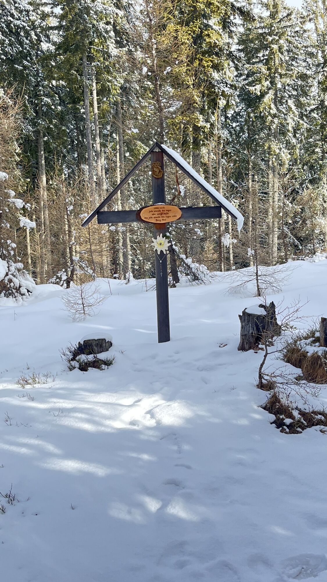
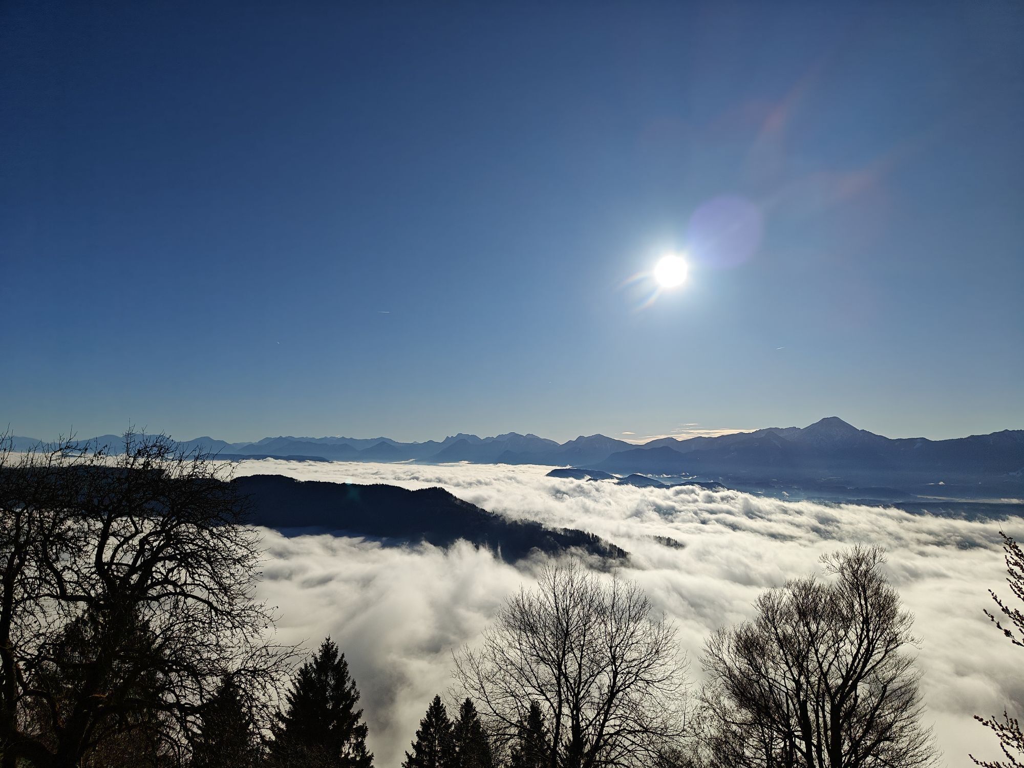
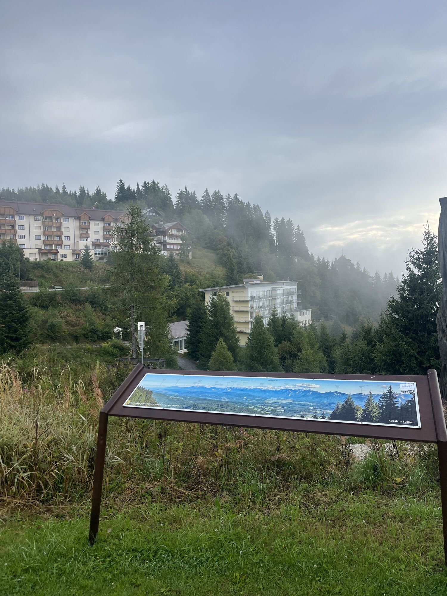
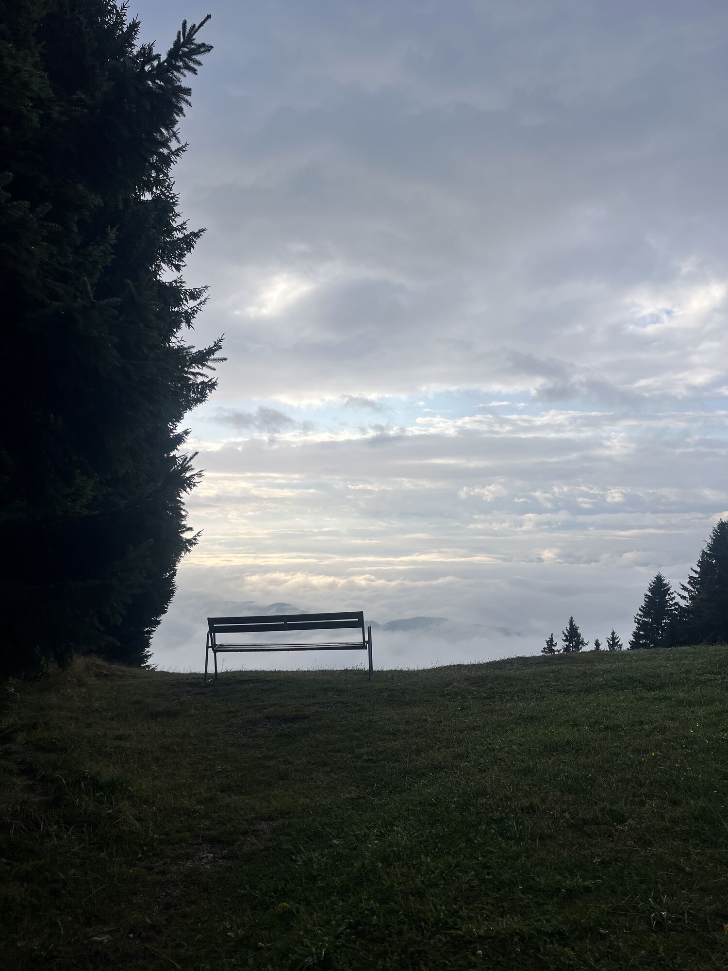
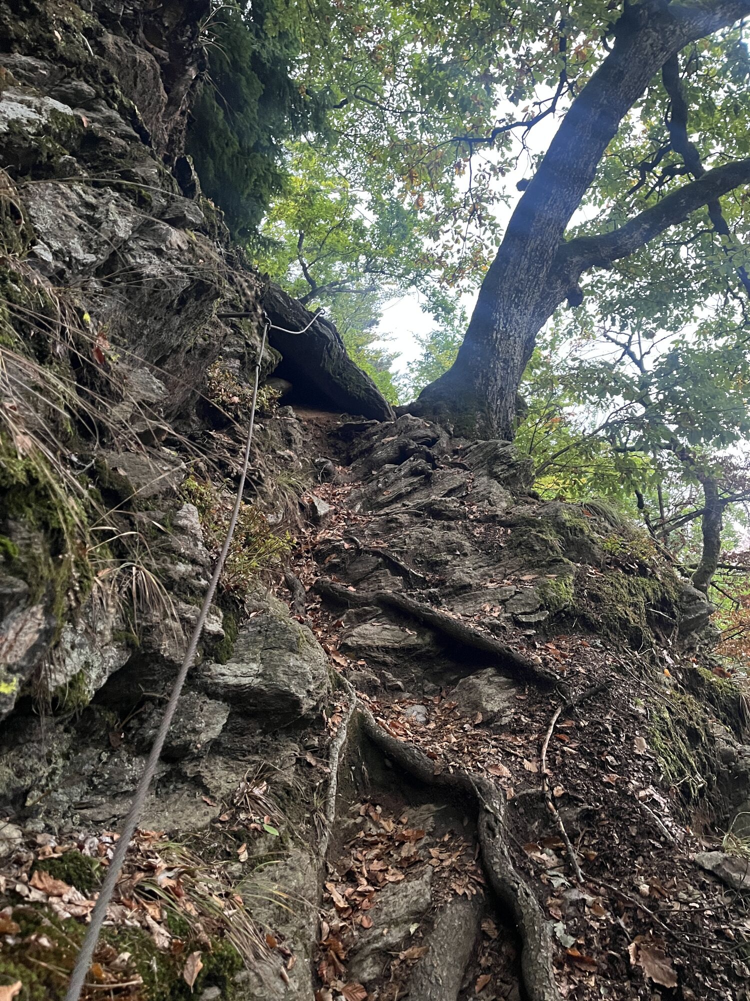
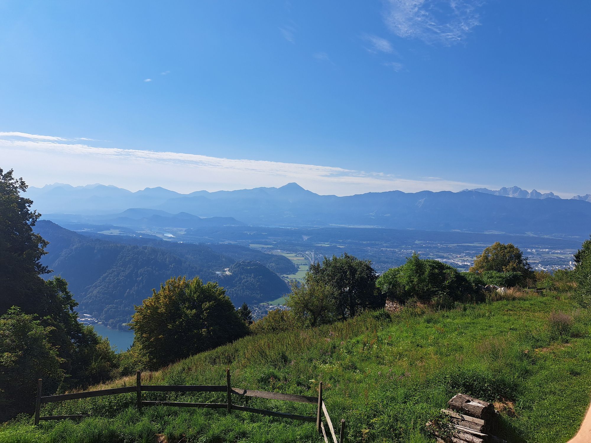
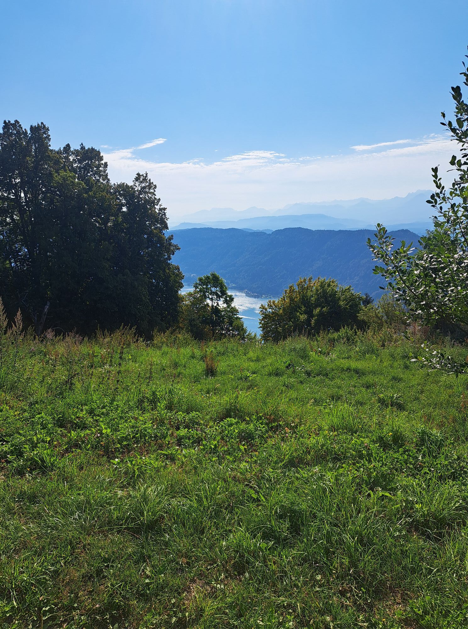
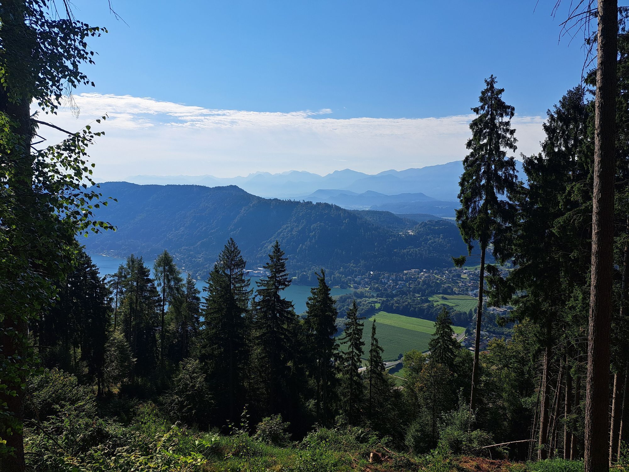
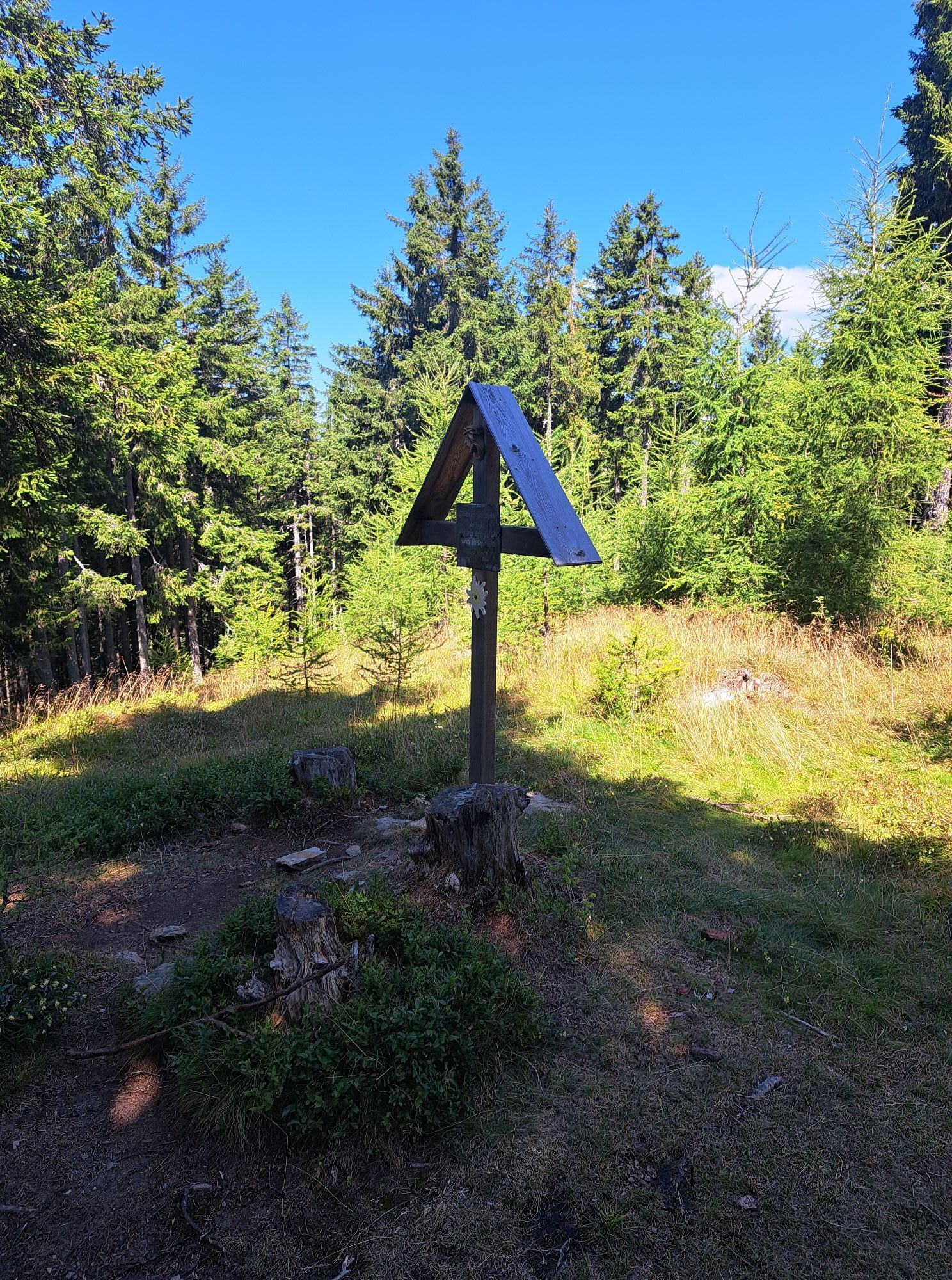
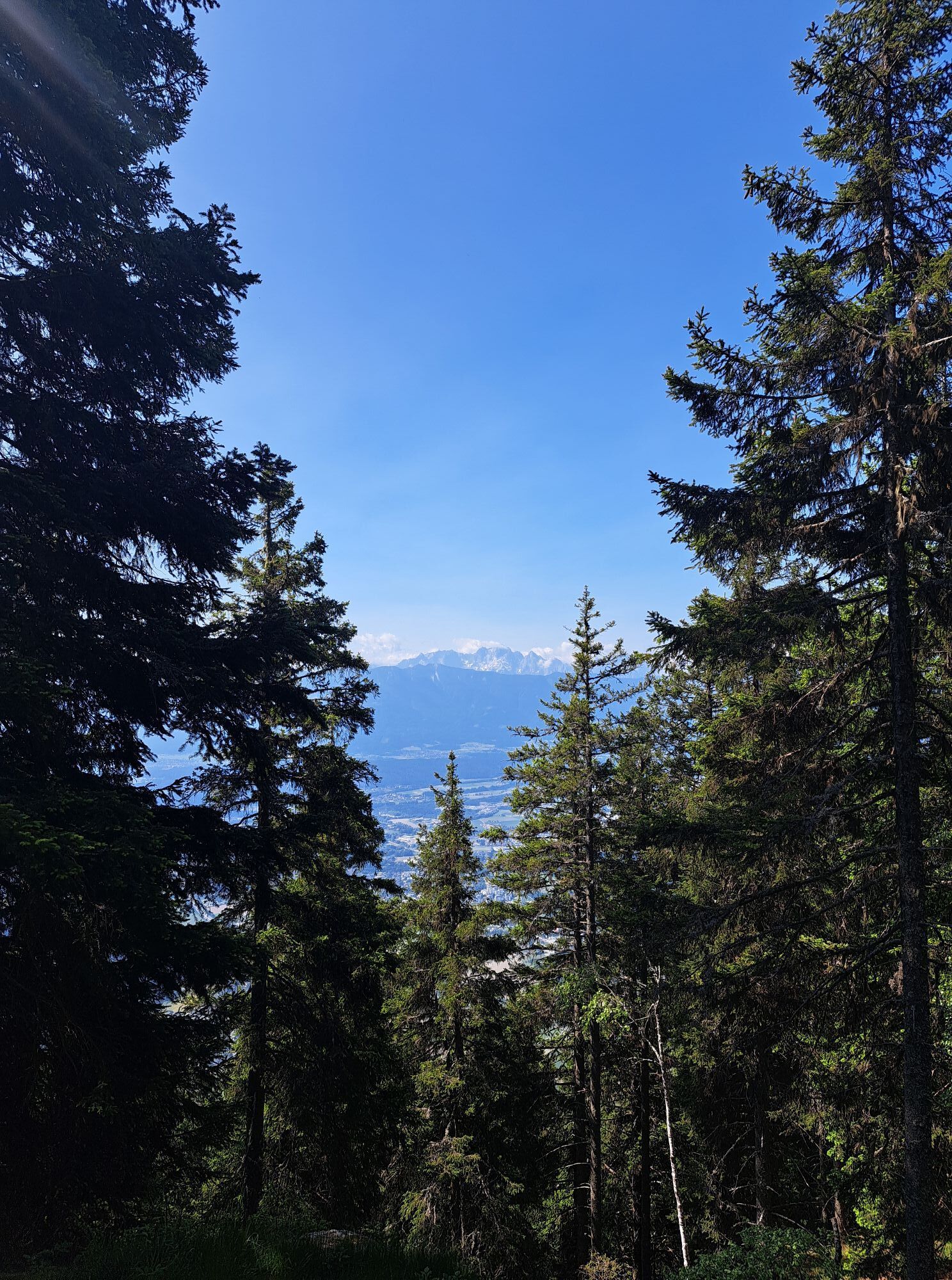
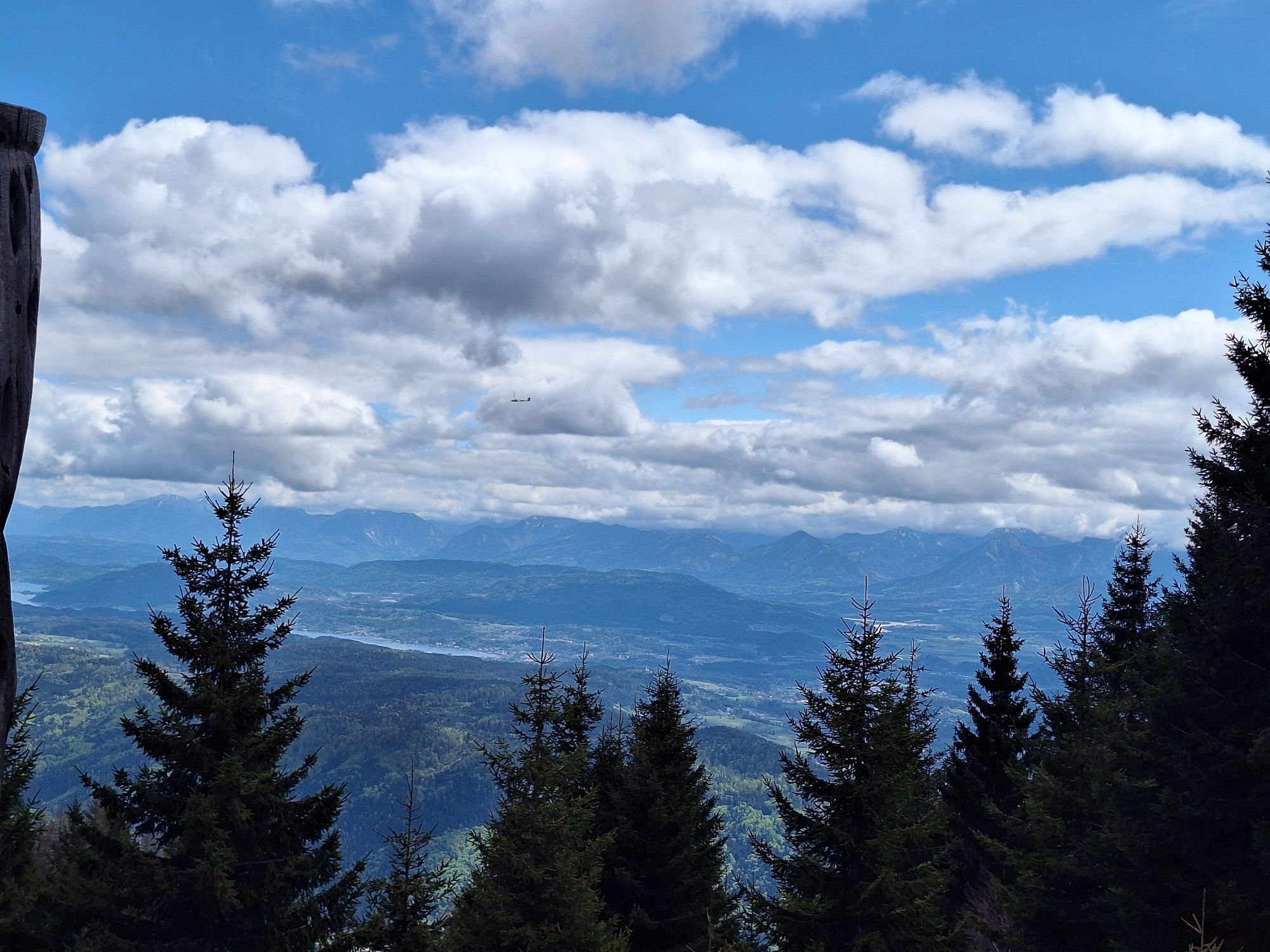
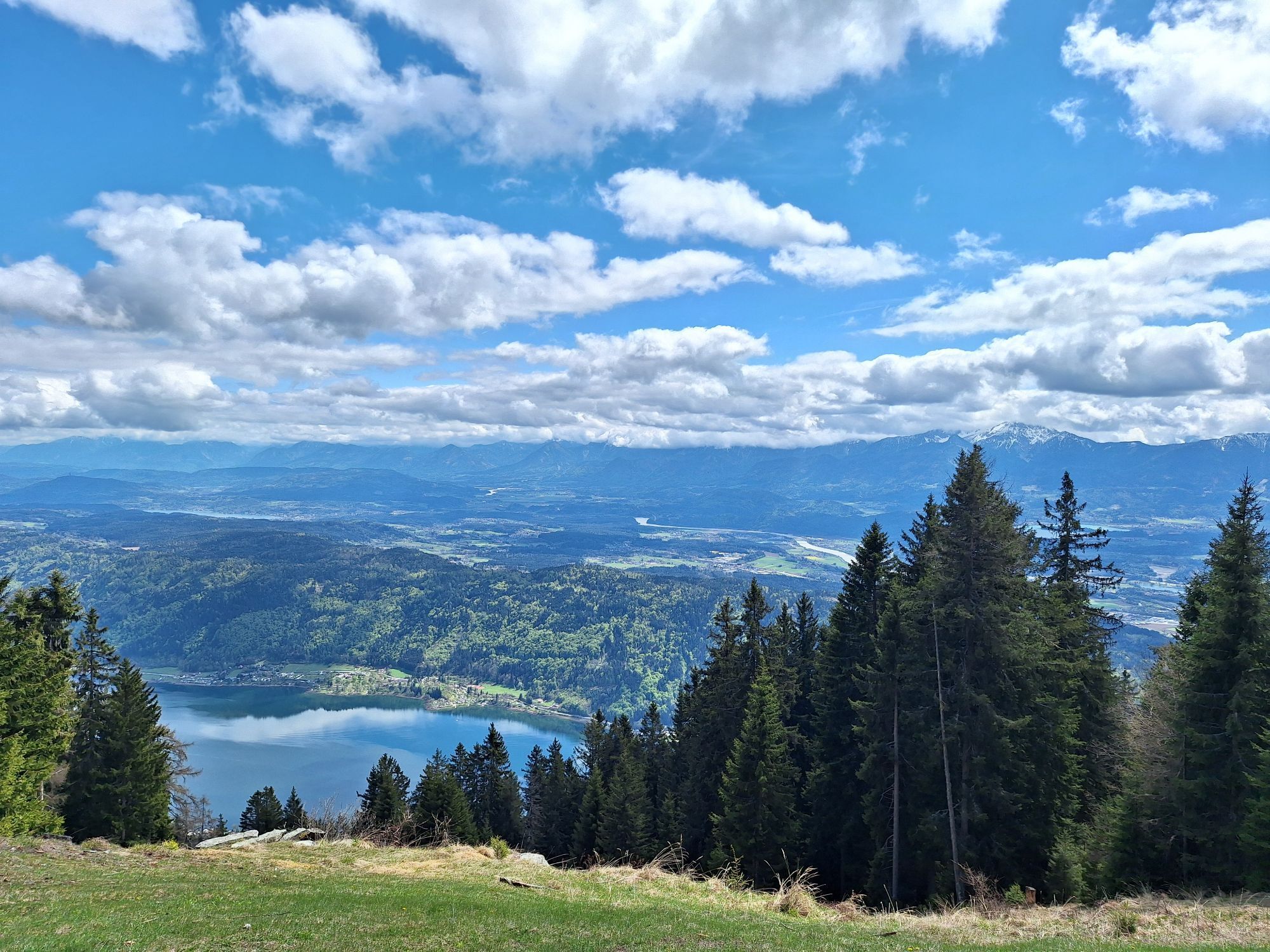
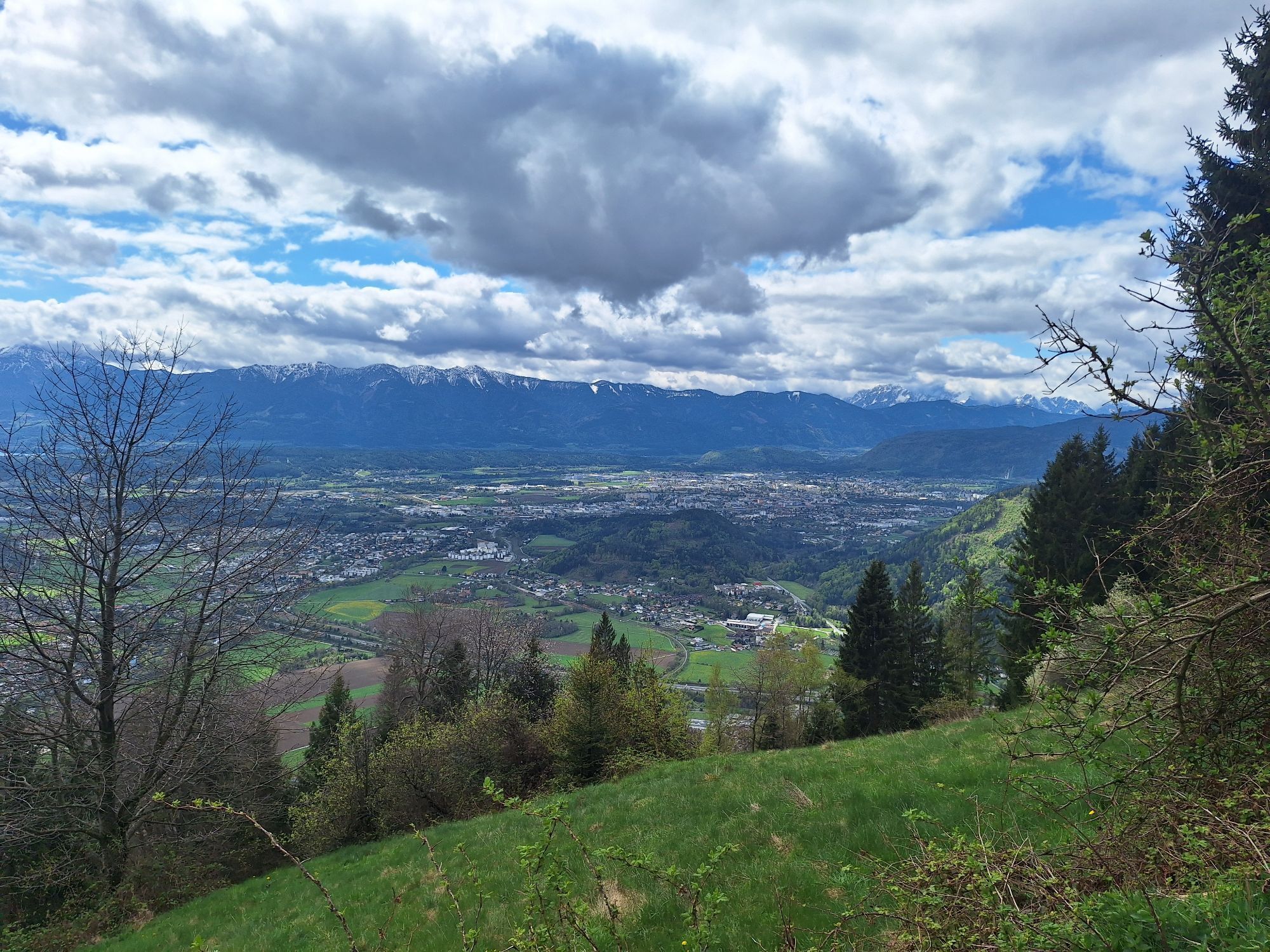
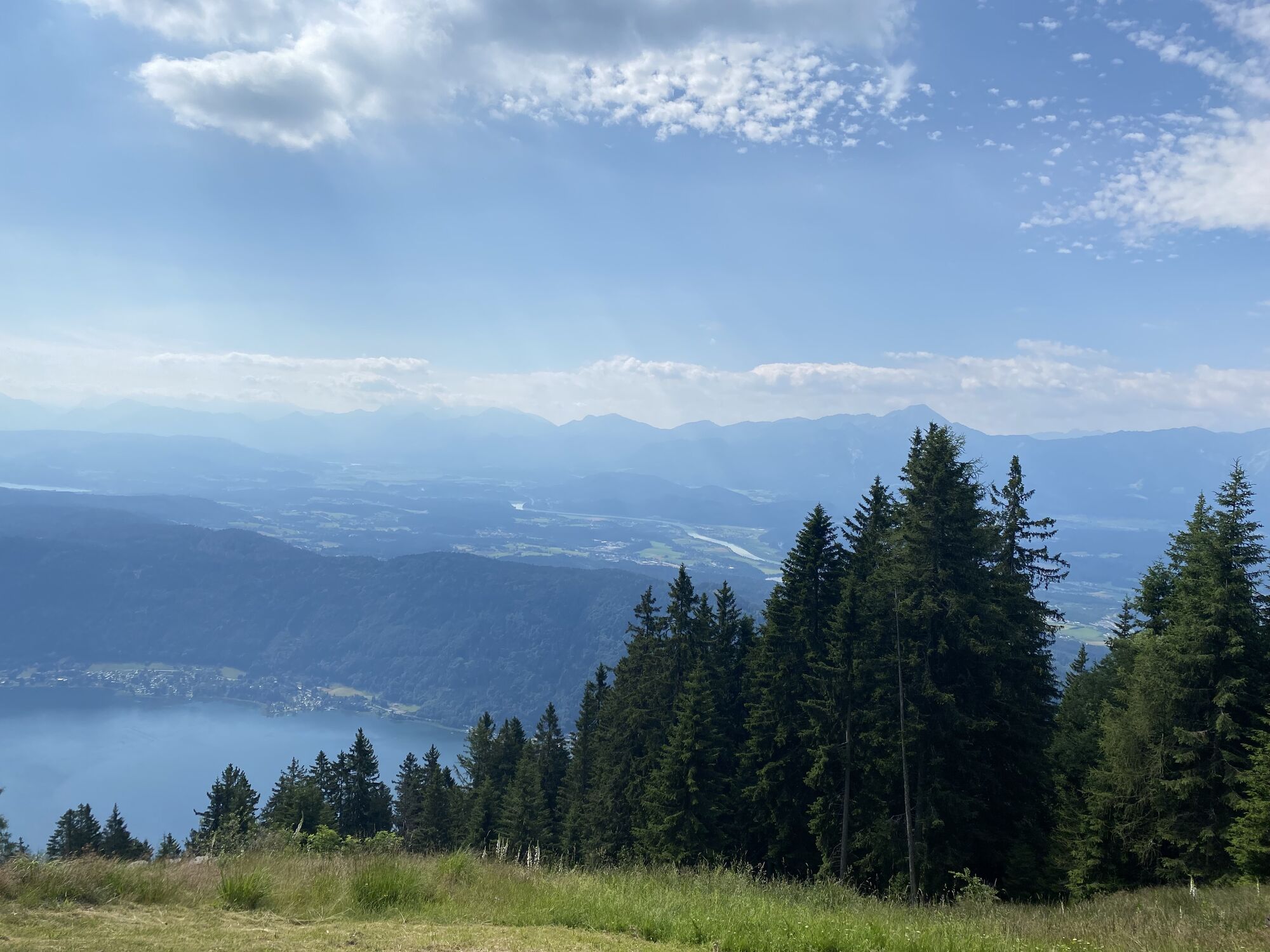
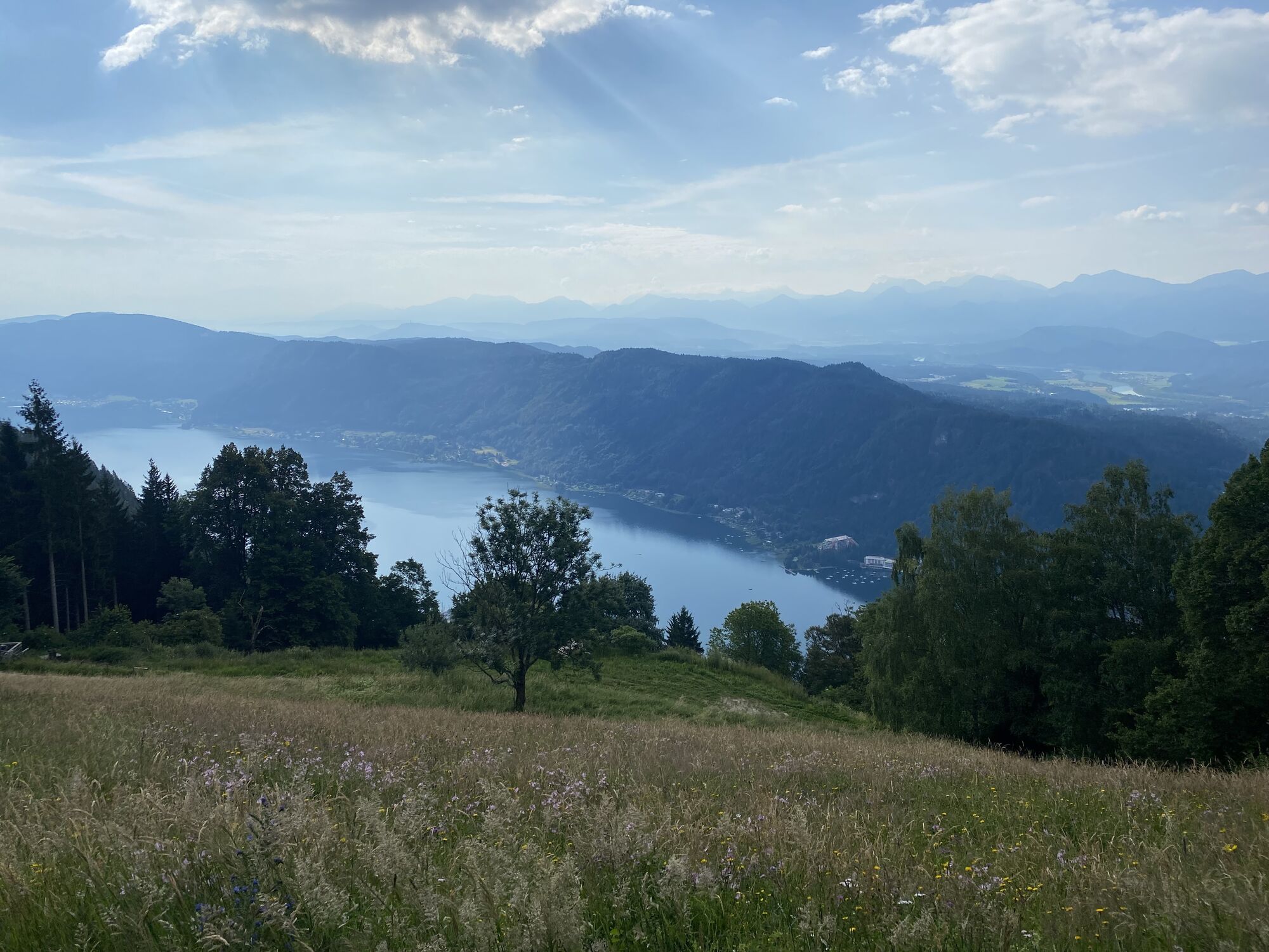
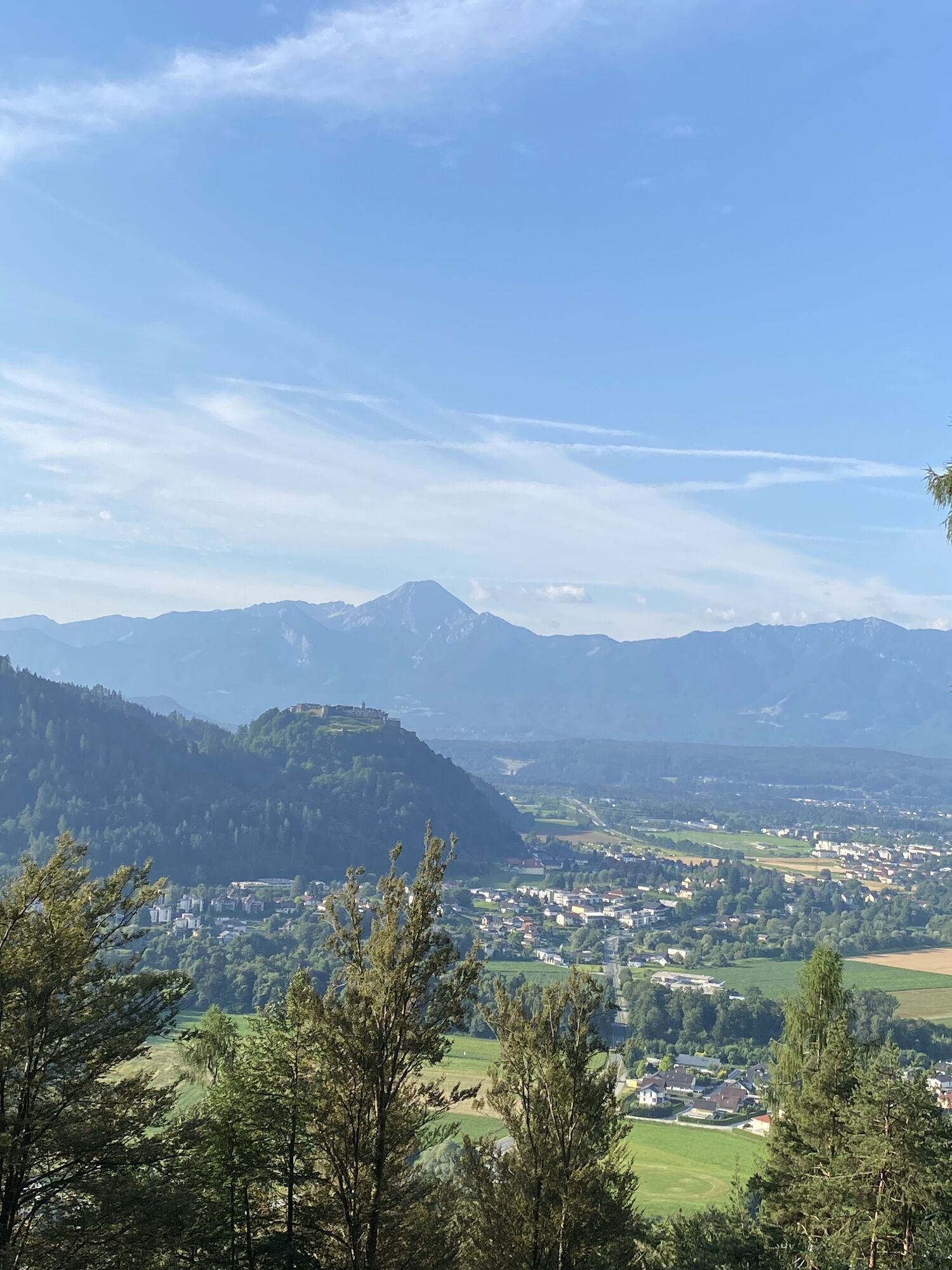
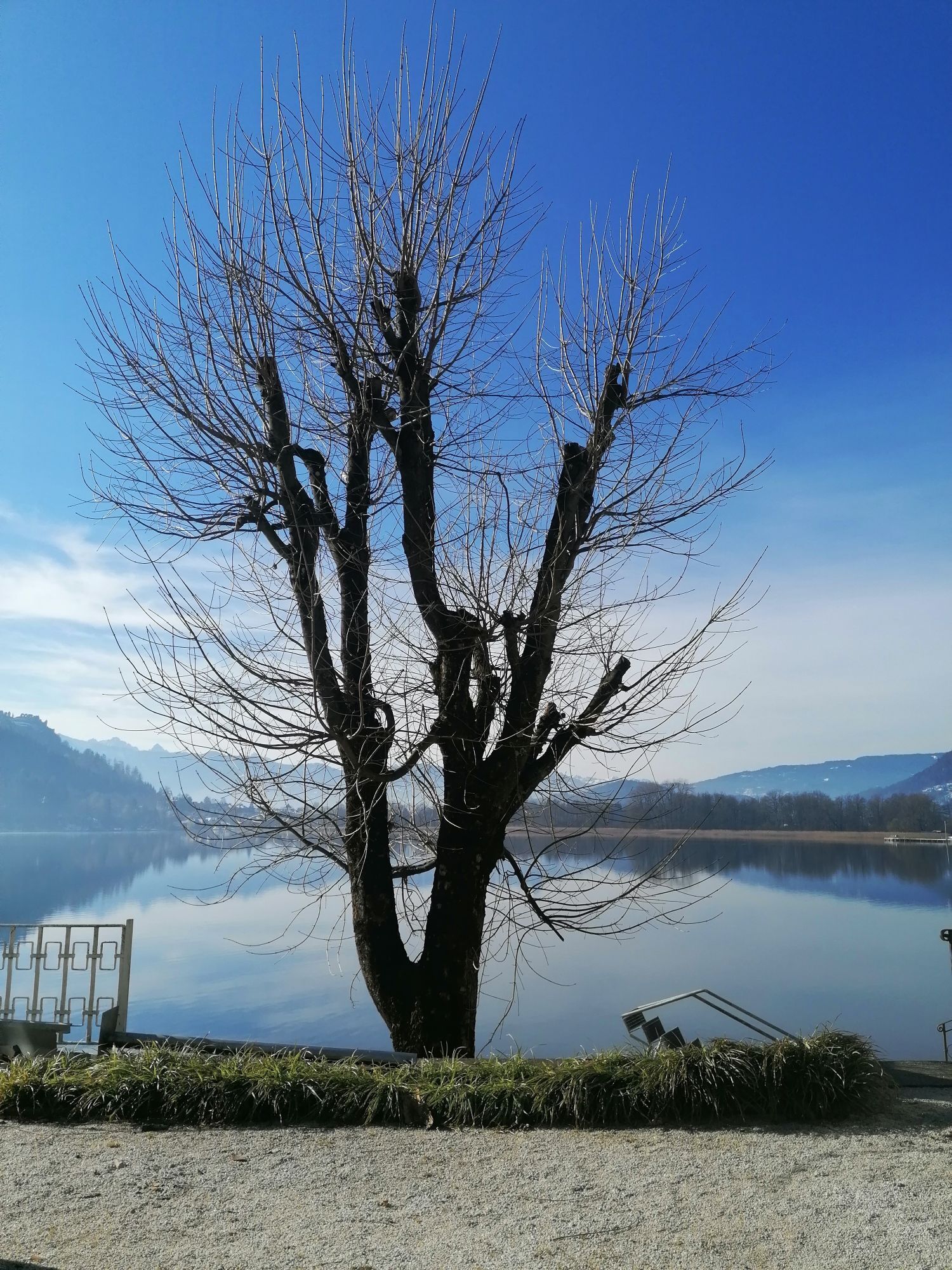
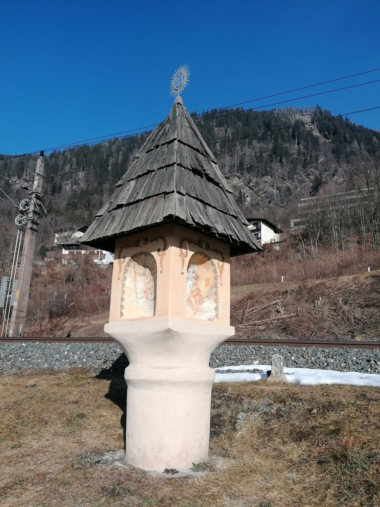
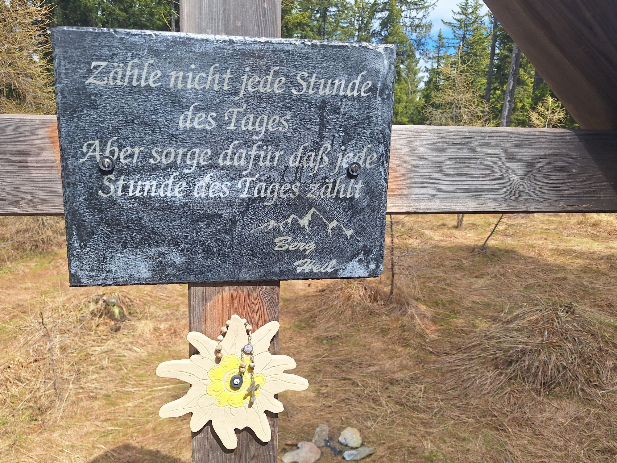
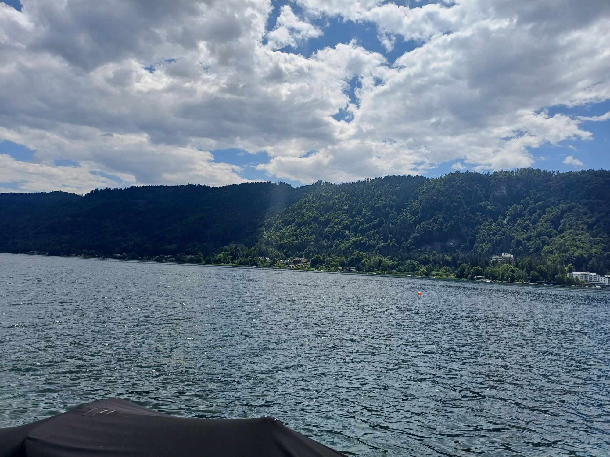
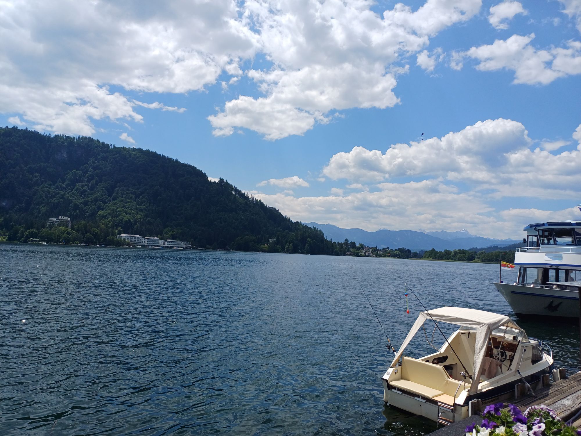
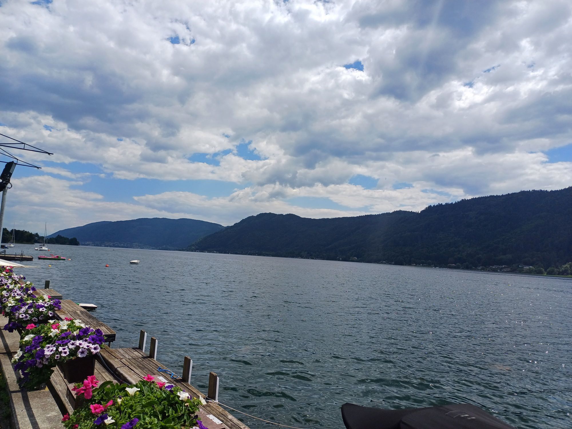
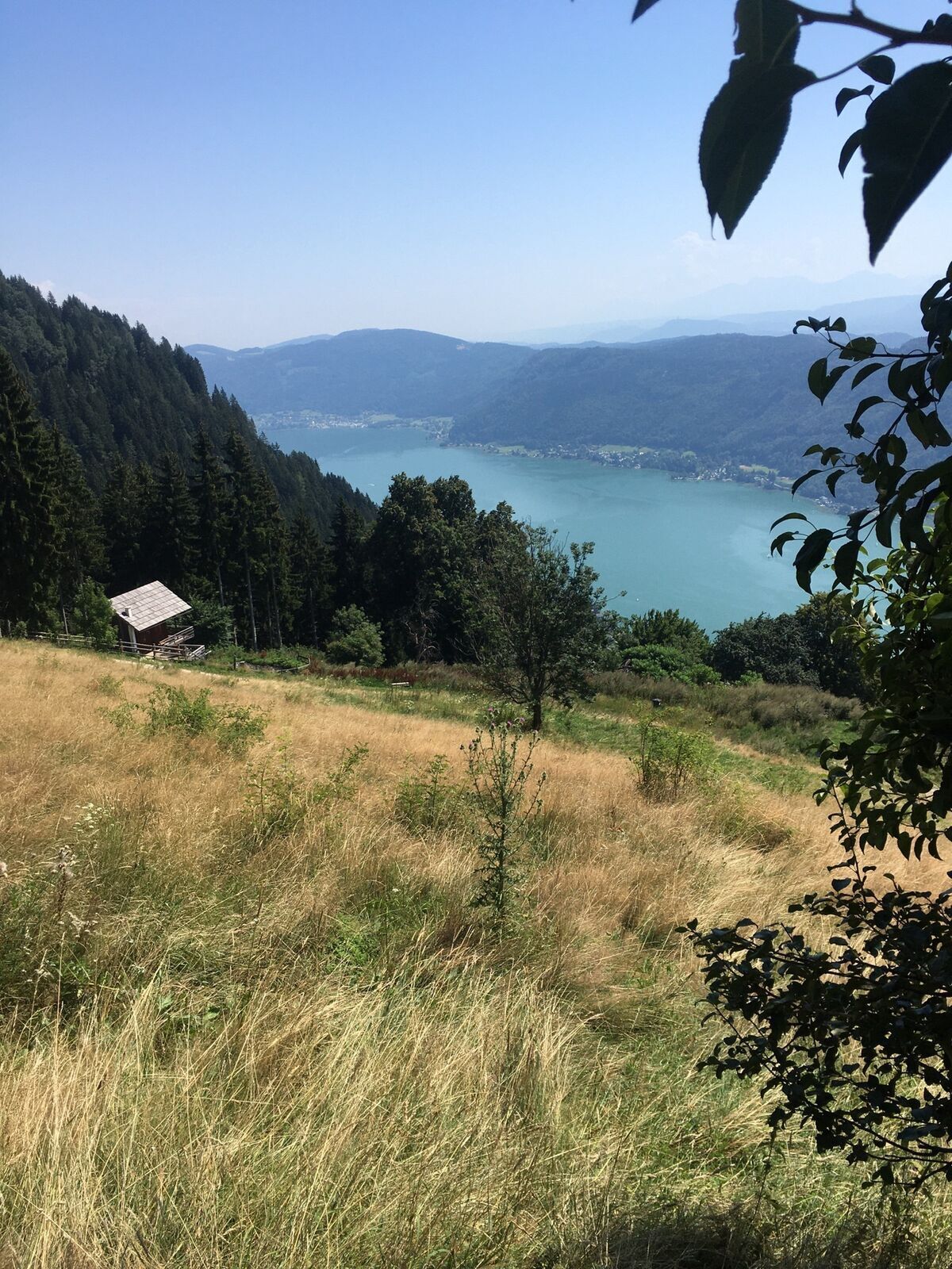
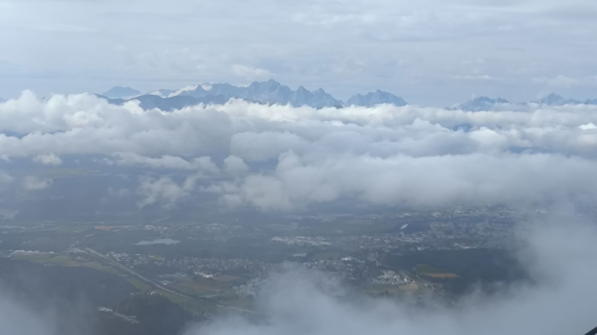
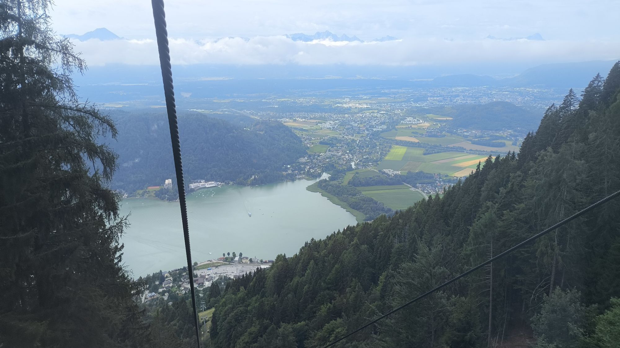
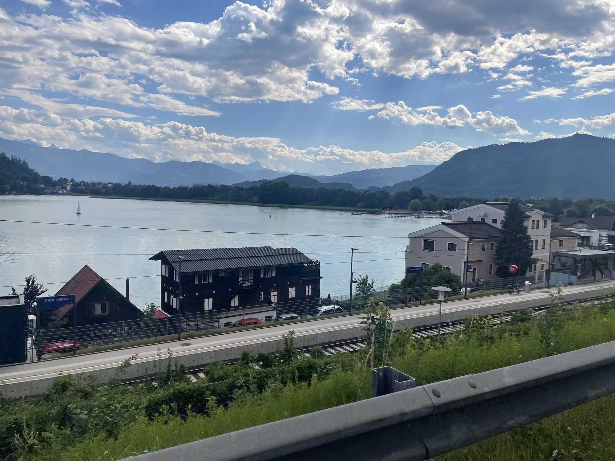
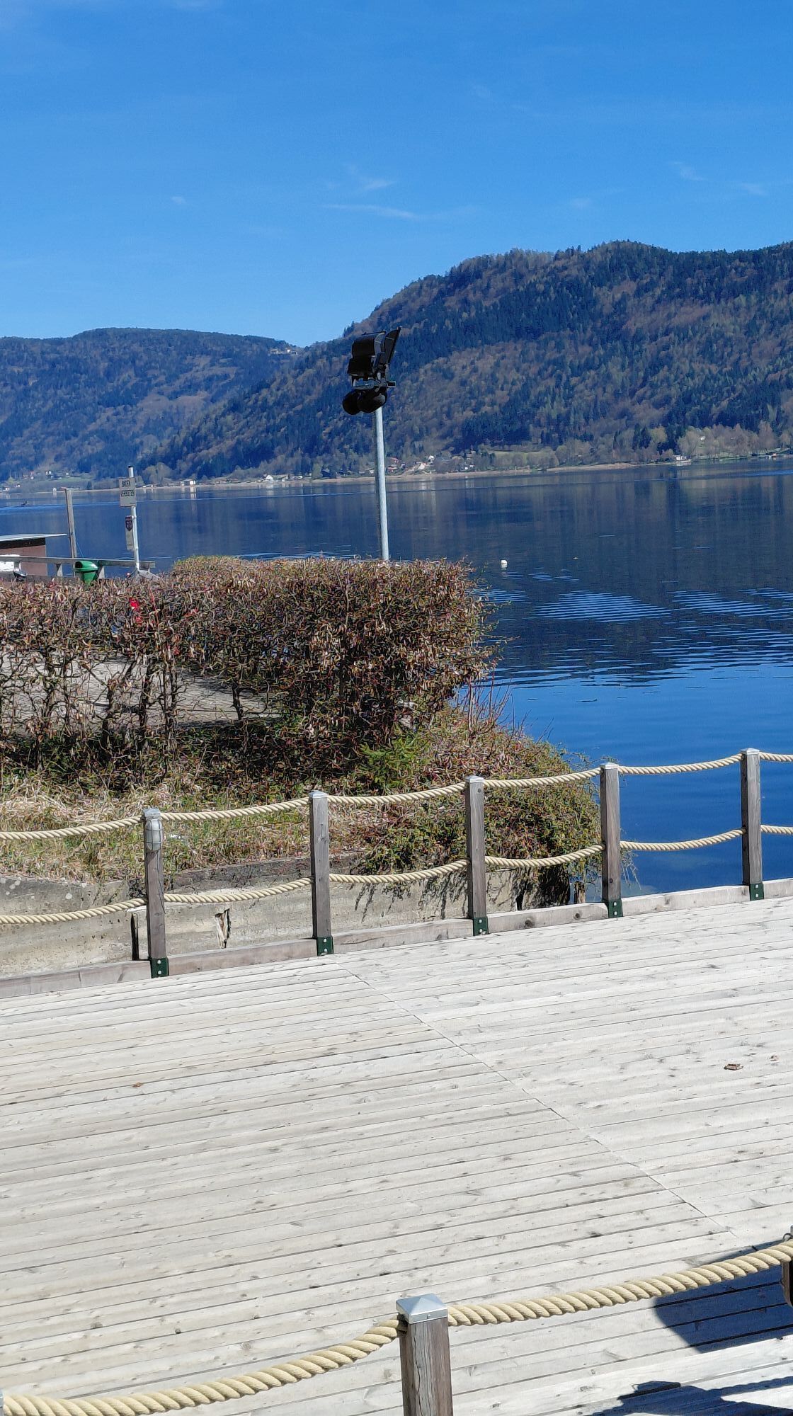
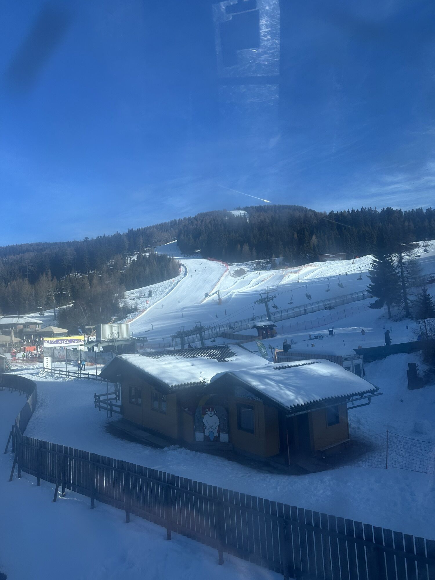
Starting from the valley station of the Kanzelbahn via the south-side Hüttersteig to the Kanzelhöhe and from there to the upper station of the Kanzelbahn.
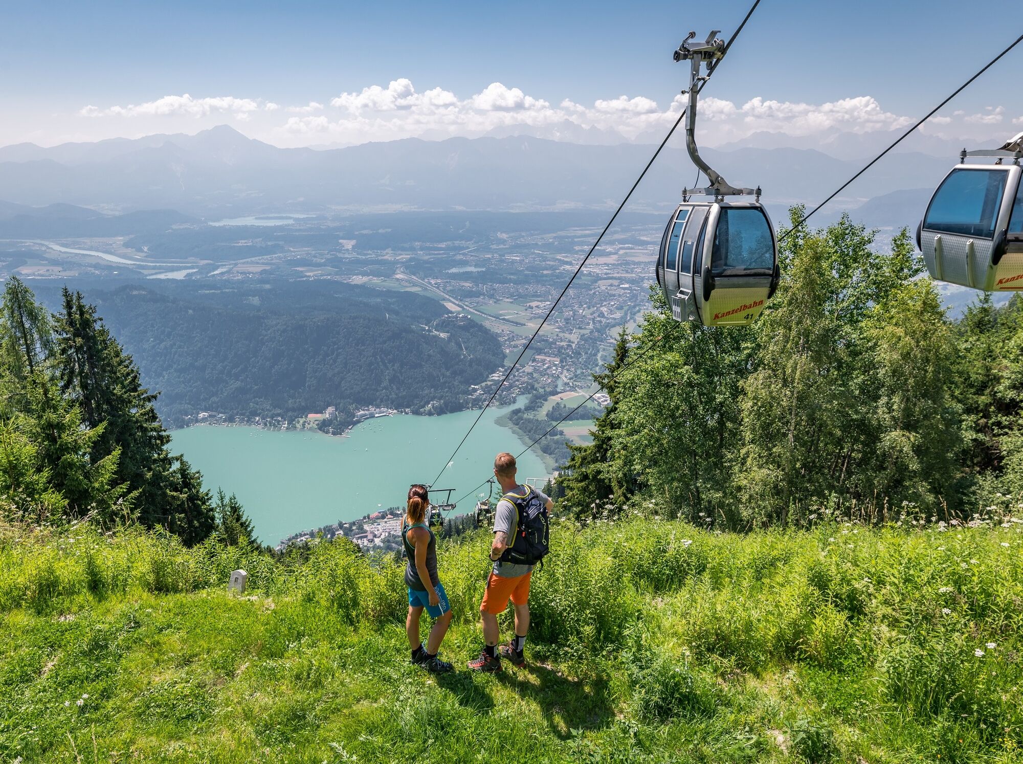
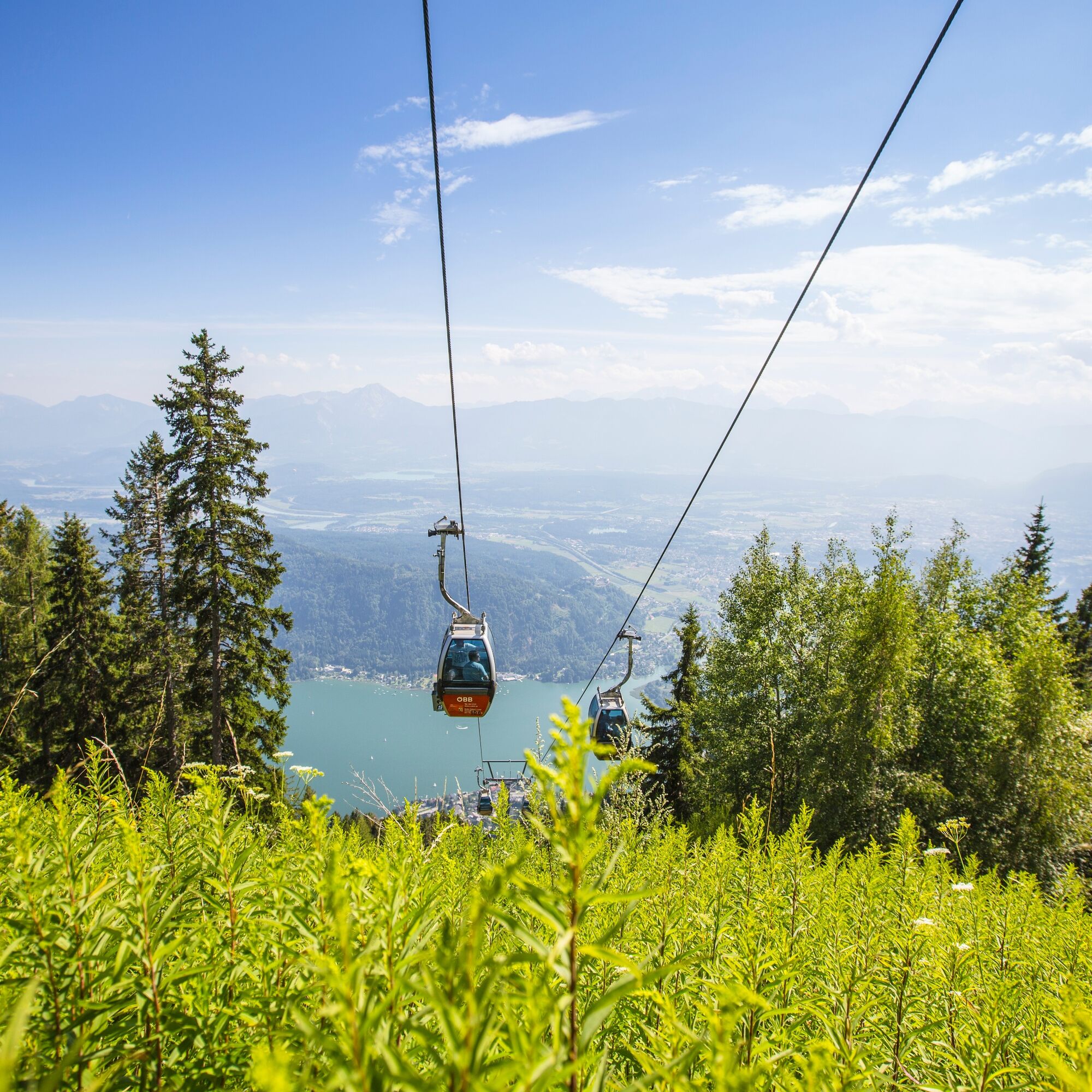
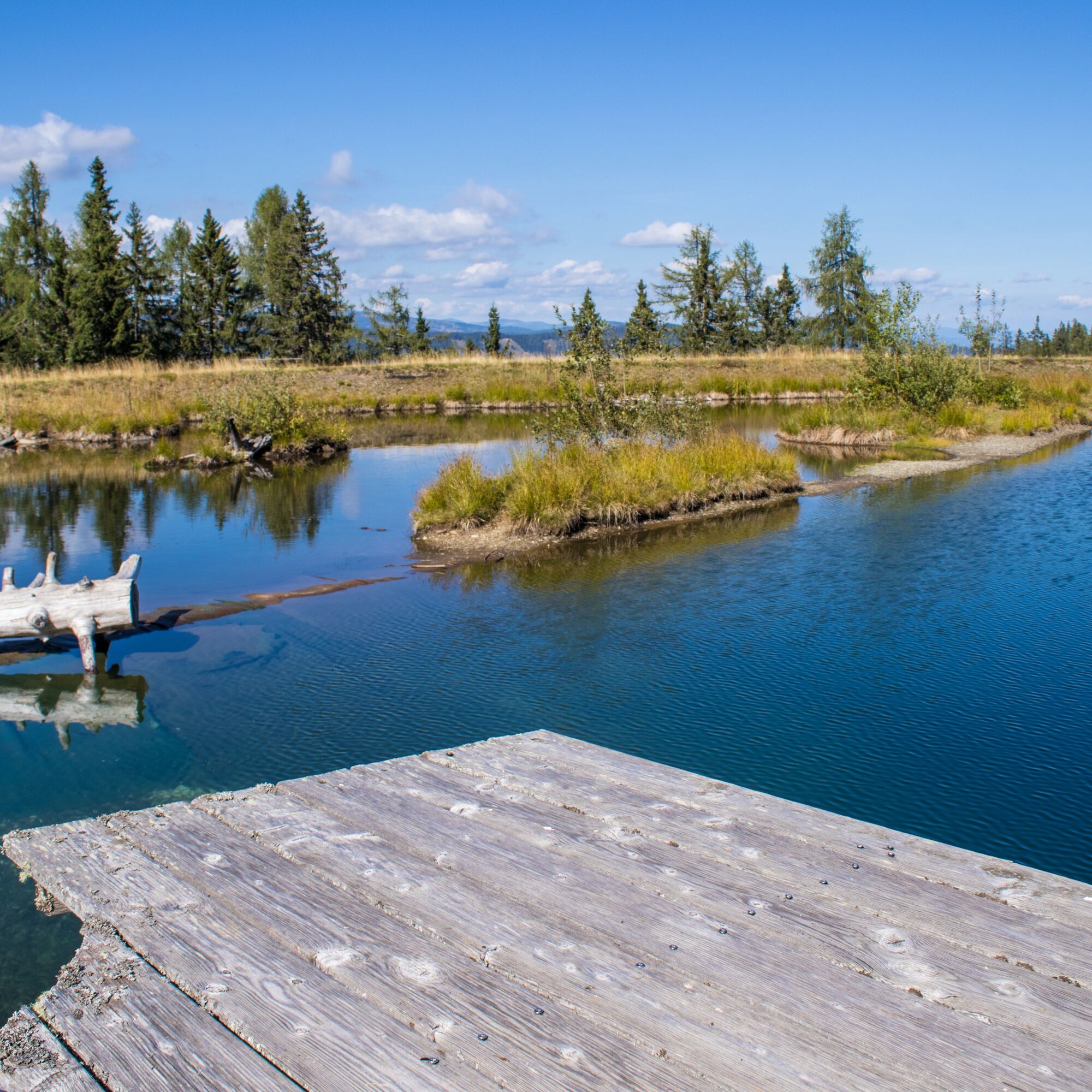

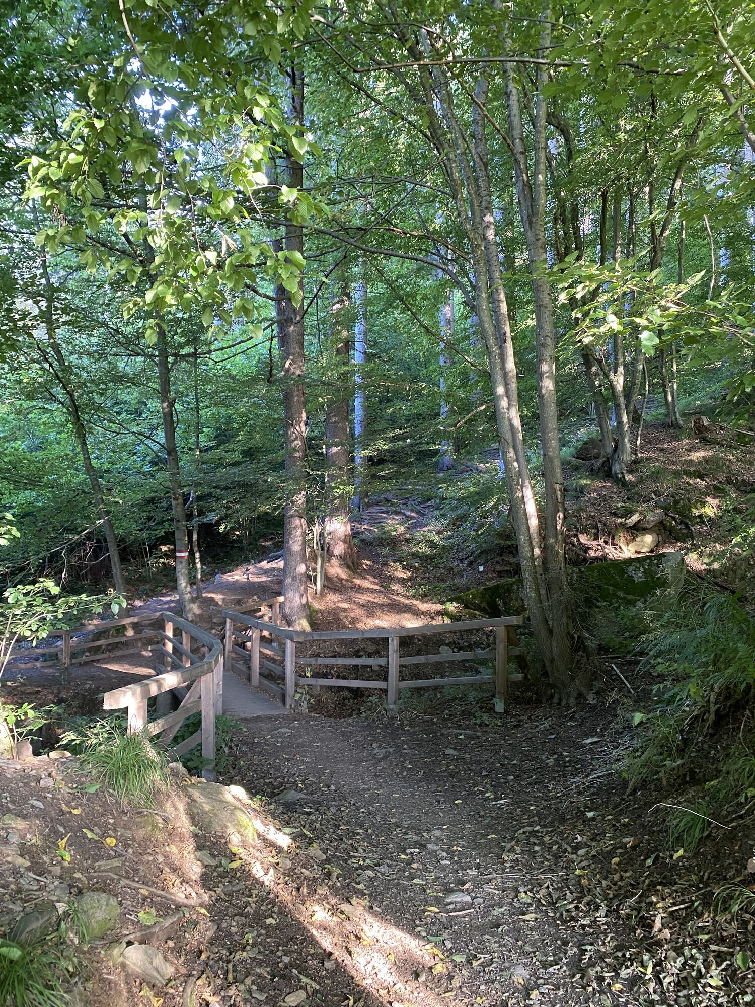
Starting from the parking lot at the valley station of the Kanzelbahn, follow the B94 westwards, past the gas station to the junction Sonnenweg. Follow this uphill to the first hairpin turn. From here, a meadow path branches off towards Julienhöhe/Treffen (path no. 2). Follow this for a few minutes on foot until the trail to the Hütter branches off (path no. 176). Follow the Hüttersteig until the path joins a forest road (at a left-hand bend). The forest road now leads to the site of the former hunting lodge Hütter at 1,025 m. Shortly after the hut, the trail branches off the forest road to the left and leads up to about 1,400 m. From here, the path roughly turns northeast and you reach the Kanzelhöhe and the Almresort without significant changes in altitude. From here, follow either the asphalt road or the parallel forest and meadow path to the upper station of the Kanzelbahn.
The descent back to the starting point in the valley is easy with the Gerlitzen Kanzelbahn. Tickets for the downhill ride are available at the "Waldtratte" ticket office or directly at the upper station of the Kanzelbahn. Be sure to check the operating times of the Gerlitzen Kanzelbahn!
Hiking boots with a profiled sole, backpack, functional underwear, rainwear, hiking poles, food and drinks, map material, first aid, mobile phone
The Hüttersteig is a steep and on short sections secured path (not a via ferrata!), which requires no fear of heights, absolute surefootedness, and very good fitness. For the descent, be sure to observe the operating times of the Kanzelbahn!
Annenheim is best reached via the A10 exit "Villach-Ossiacher See".
Annenheim is very well accessible by public transport.
There are enough parking spaces available in the valley area.
T3
Region Villach Tourism
+43 4242 42000
www.visitvillach.at


Webové kamery z prohlídky
-
Gerlitzen Gipfel
-
Gerlitzen Gipfel
-
Gerlitzen Gipfel
-
Gerlitzen Gipfel
-
Annenheim/Ossiacher See
-
Landskron
-
Villach - Friedensbrücke
-
Gerlitzen Gipfel
-
Bergstation Pöllingerbahn 1.660m (250hm/ca. 45min leicht wanderbar zum Gipfel)
-
Gerlitzen Mittelstation Kanzelhöhe
-
Gerlitzen Mittelstation Kanzelhöhe
-
Gerlitzen Mittelstation Kanzelhöhe
-
Gerlitzen Mittelstation Kanzelhöhe
-
Gerlitzen - Klösterle Obere Sektion
-
Kinderland Kanzelbahn (1.440m)
-
Ossiacherberg
-
Neugarten Talstation 8er-Carving-Jet
Získejte přehled
Vždy živě na místě s více než 9 500 webkamerami. bergfex Jako uživatel Pro si nyní můžete zobrazit odpovídající webové kamery pro mnoho prohlídek v aplikaci prohlídky z. Můžete si tak přímo prohlédnout aktuální podmínky.
Aktivity na trase
-

hüttersteig 2.
10.08.2026 – Turistika -
hüttersteig!
05.08.2026 – Turistika -

Treffen am Ossiacher See, Kärnten/Österreich
04.08.2026 – Horská turistika -

Treffen am Ossiacher See, Kärnten/Österreich
23.07.2026 – Turistika -

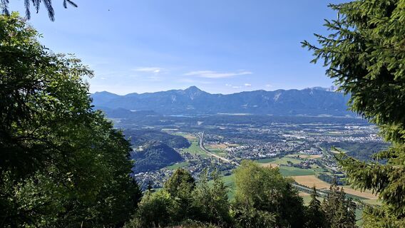
Annenheim, Kärnten/Österreich
07.07.2026 – Turistika -

Hüttersteig + Schwammerlnsuchen
30.06.2026 – Turistika -

Annenheim - Kanzelhöhe - Gerlitzen, Pölliingerhütte, Kärnten
17.06.2026 – Turistika -
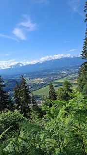
Annenheim, Kärnten/Österreich
08.06.2026 – Turistika -
Treffen am Ossiacher See, Kärnten/Österreich
14.03.2026 – Turistika -
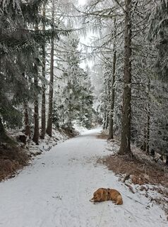
Annenheim, Kärnten/Österreich
02.02.2026 – Turistika -

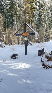
Hüttersteig
30.01.2026 – Horská turistika -
Annenheim, Kärnten/Österreich
31.08.2025 – Turistika -
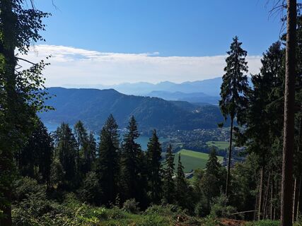
Annenheim, Kärnten/Österreich
27.08.2025 – Turistika -

Annenheim, Kärnten/Österreich
12.08.2025 – Turistika -
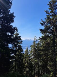
Annenheim, Kärnten/Österreich
06.06.2025 – Turistika -

Treffen am Ossiacher See Wandern
23.03.2025 – Horská turistika
Oblíbené prohlídky v okolí
-
4.7
4 Huts route
středníTuristika 8.96 km -
5.0
Amberg: Palnock 1901m, Schwarzsee, Rundstrecke
středníTuristika 7.94 km -
4.4
Lake circular trail
světloNordic Walking 9.85 km -
4.3
Finsterbach Waterfalls - Circular route
středníTuristika 3.87 km -
4.2
Schwarzsee circular hiking trail
středníTuristika 7.79 km -
4.1
Slow Trail Bleistätter Moor (Variant A)
světloTuristika 7.22 km -
4.9
Skitour: FIS K70, Auf Franz Klammers Spuren
středníLyžařská trasa 11.3 km -
4.0
Lake Ossiacher See cycle path – R2 & R2A
středníJízda na kole 28.2 km -
3.8
Forstsee Route
světloTuristika 4.26 km -
4.5
Wasserfälle
středníTuristika 2.48 km
Pěší turistika a stopování


Nenechte si ujít nabídky a inspiraci pro vaši příští dovolenou
Vaše e-mailová adresa byl přidán do poštovního seznamu.





