






Pleasure gondolas from Gerlitzen summit to Lake Ossiach
Úroveň obtížnosti: 2
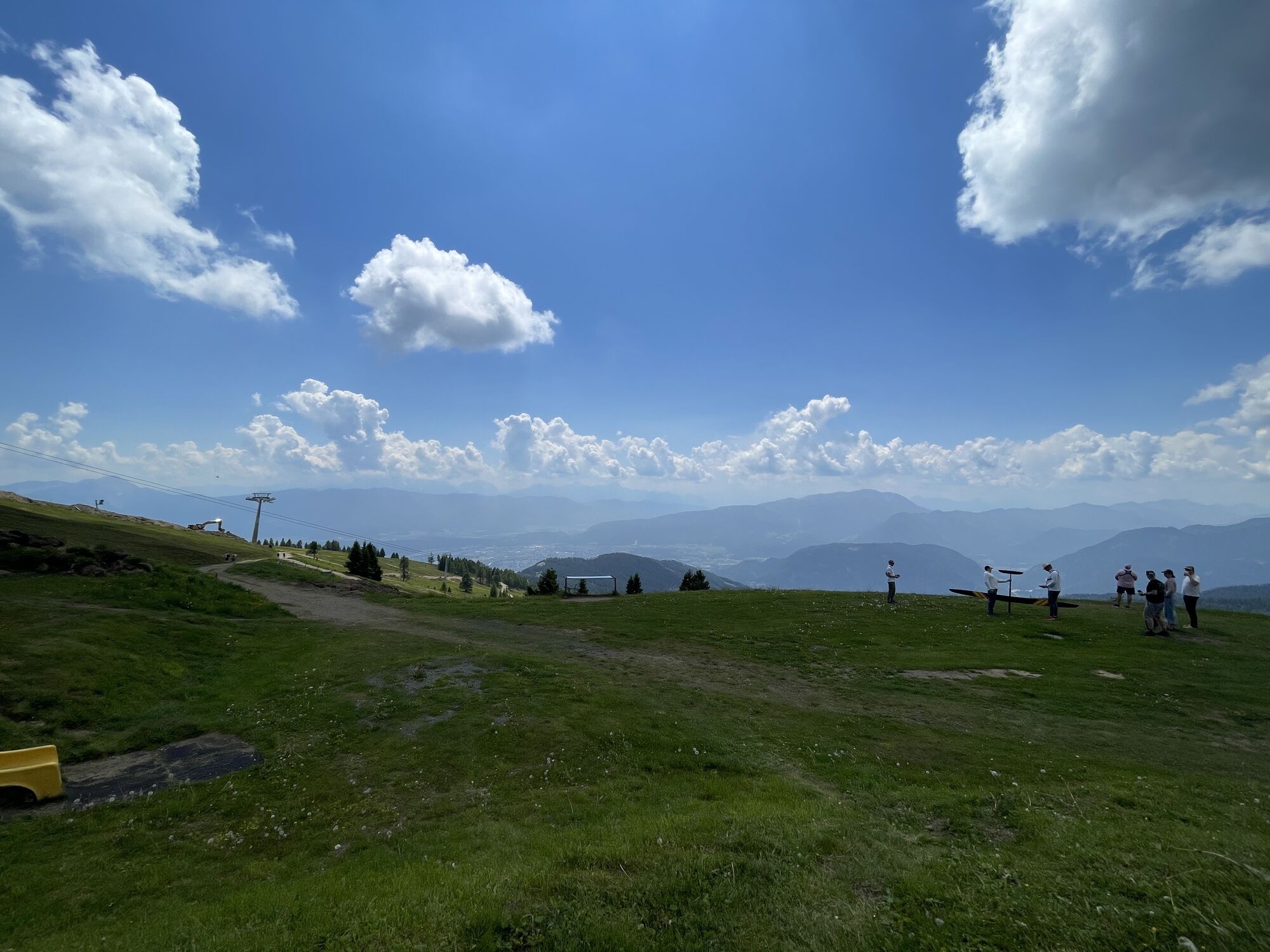
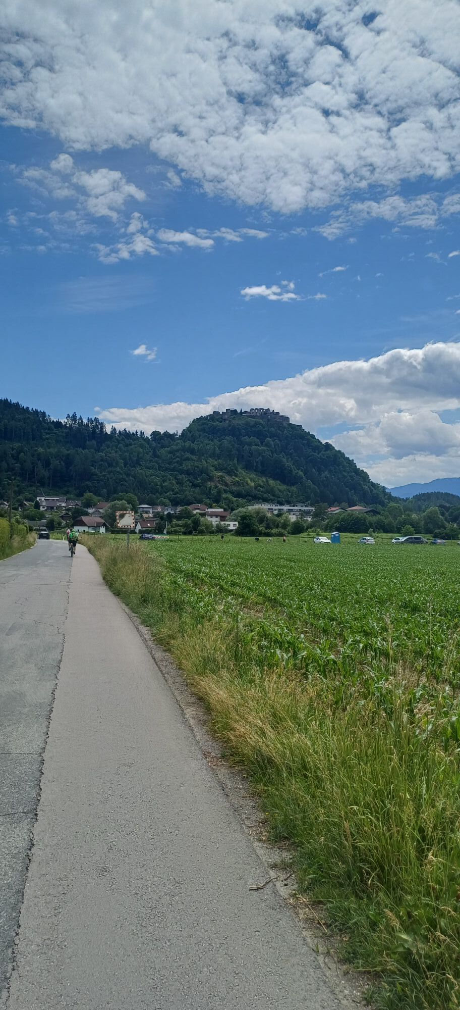
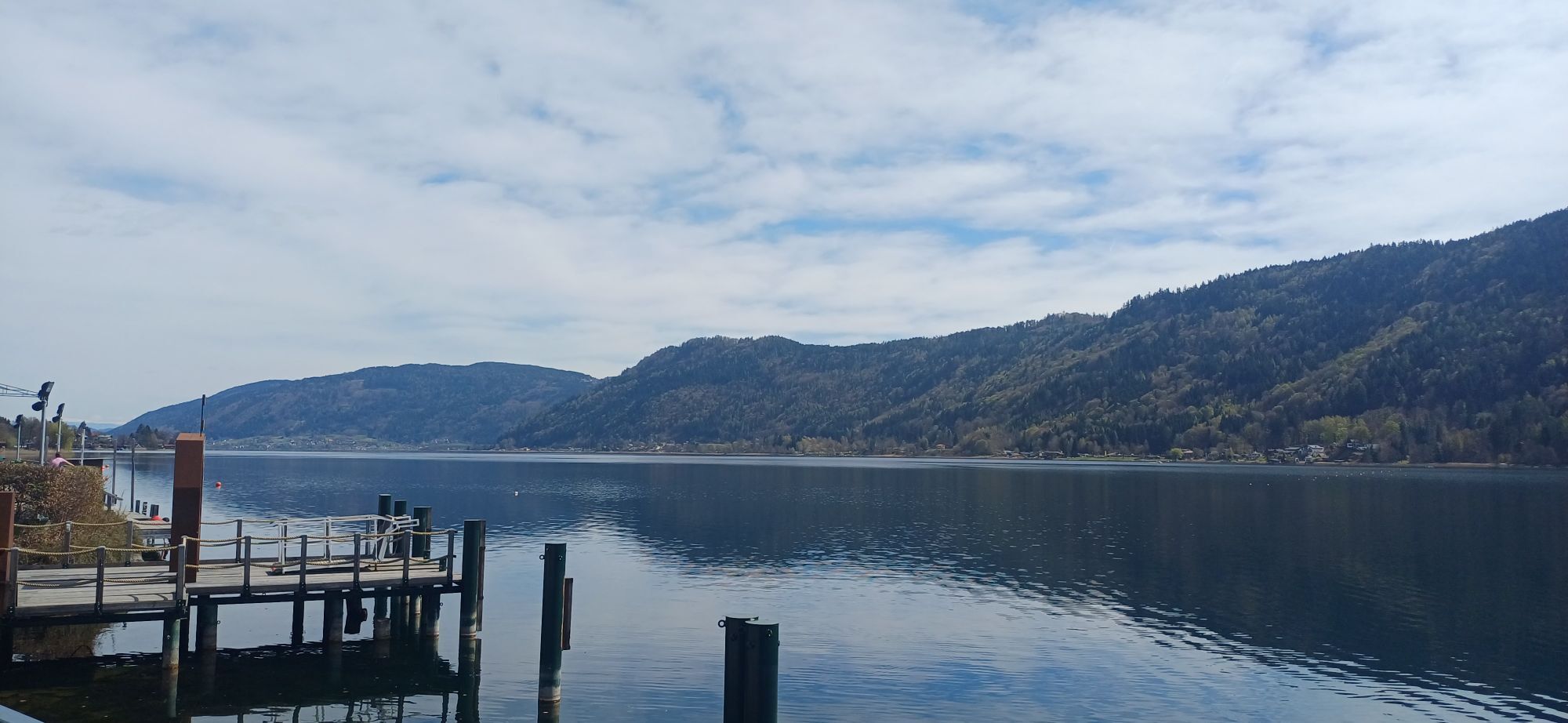

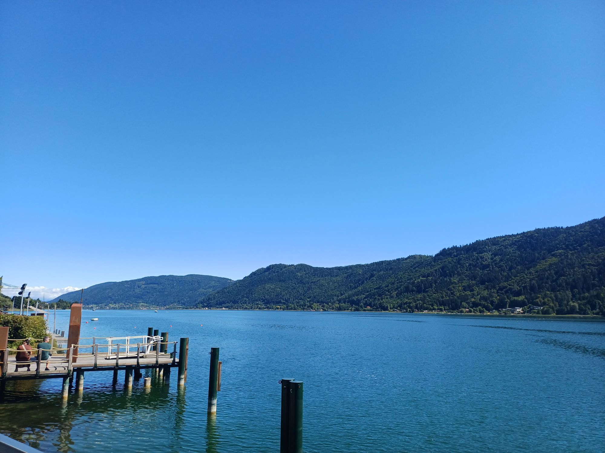
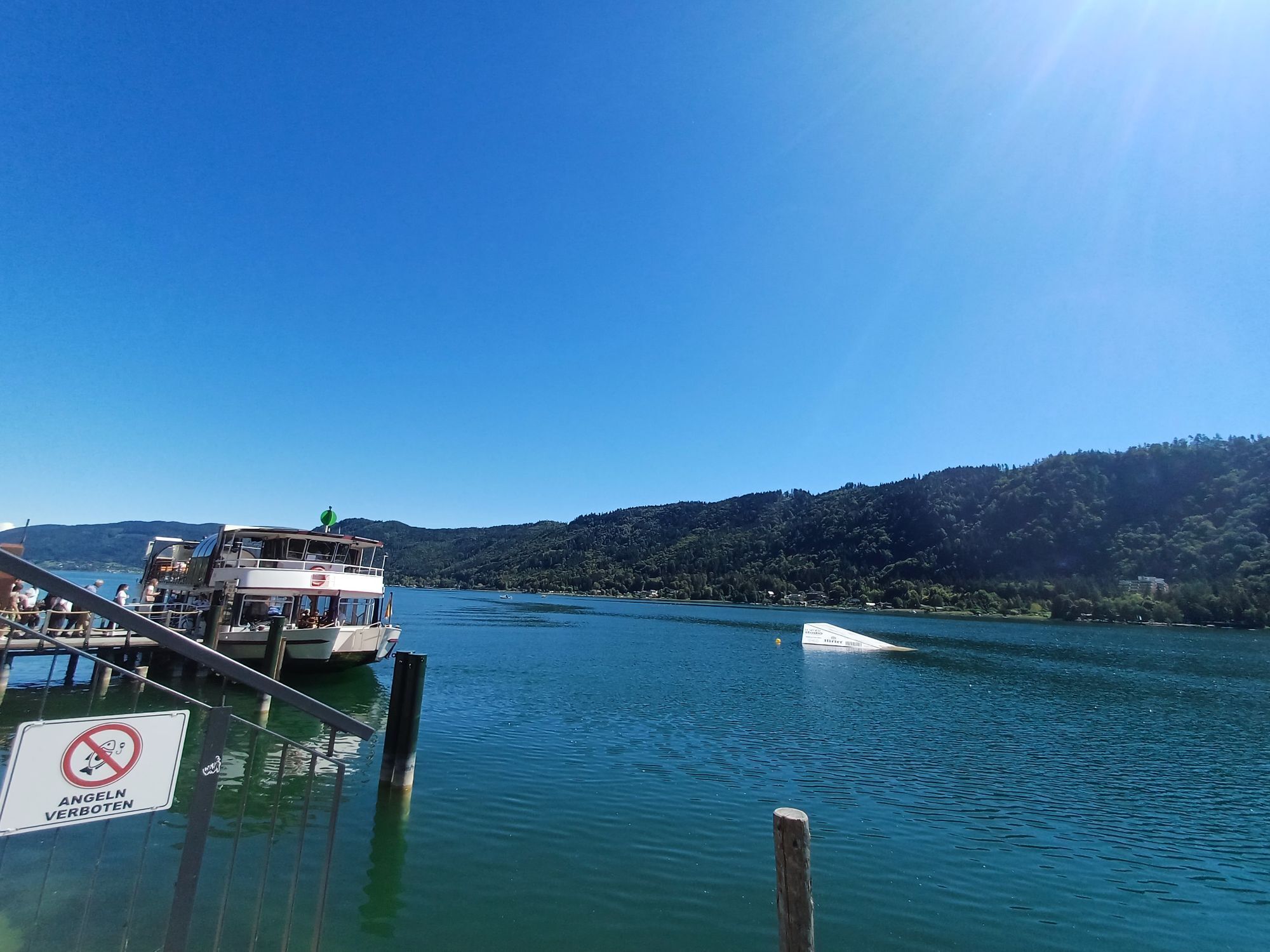
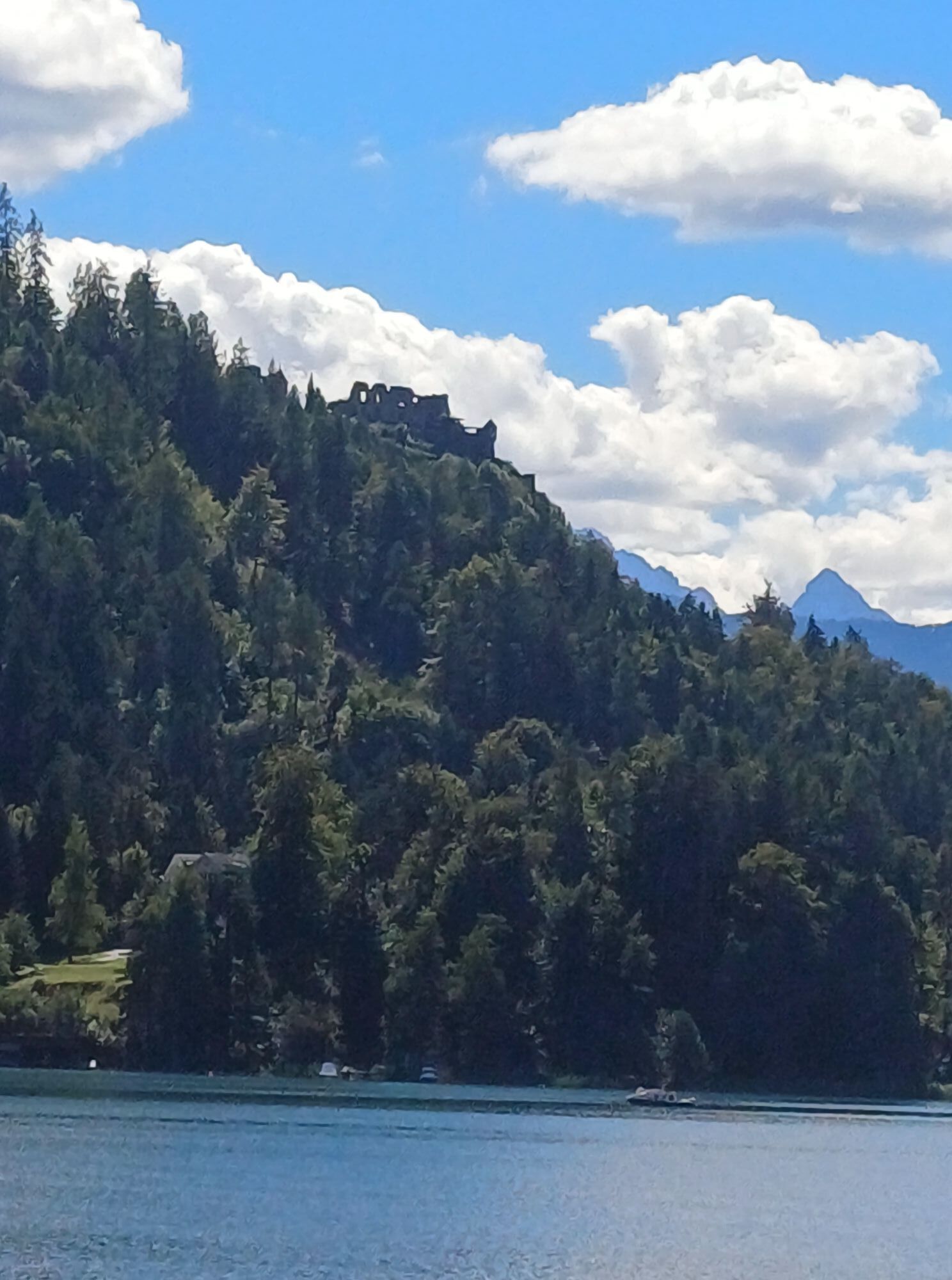
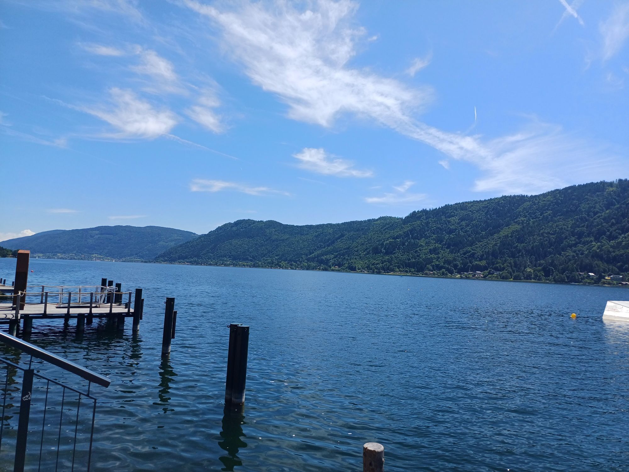
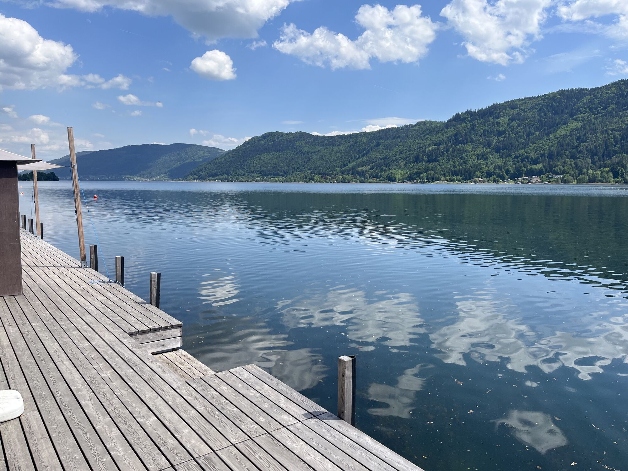
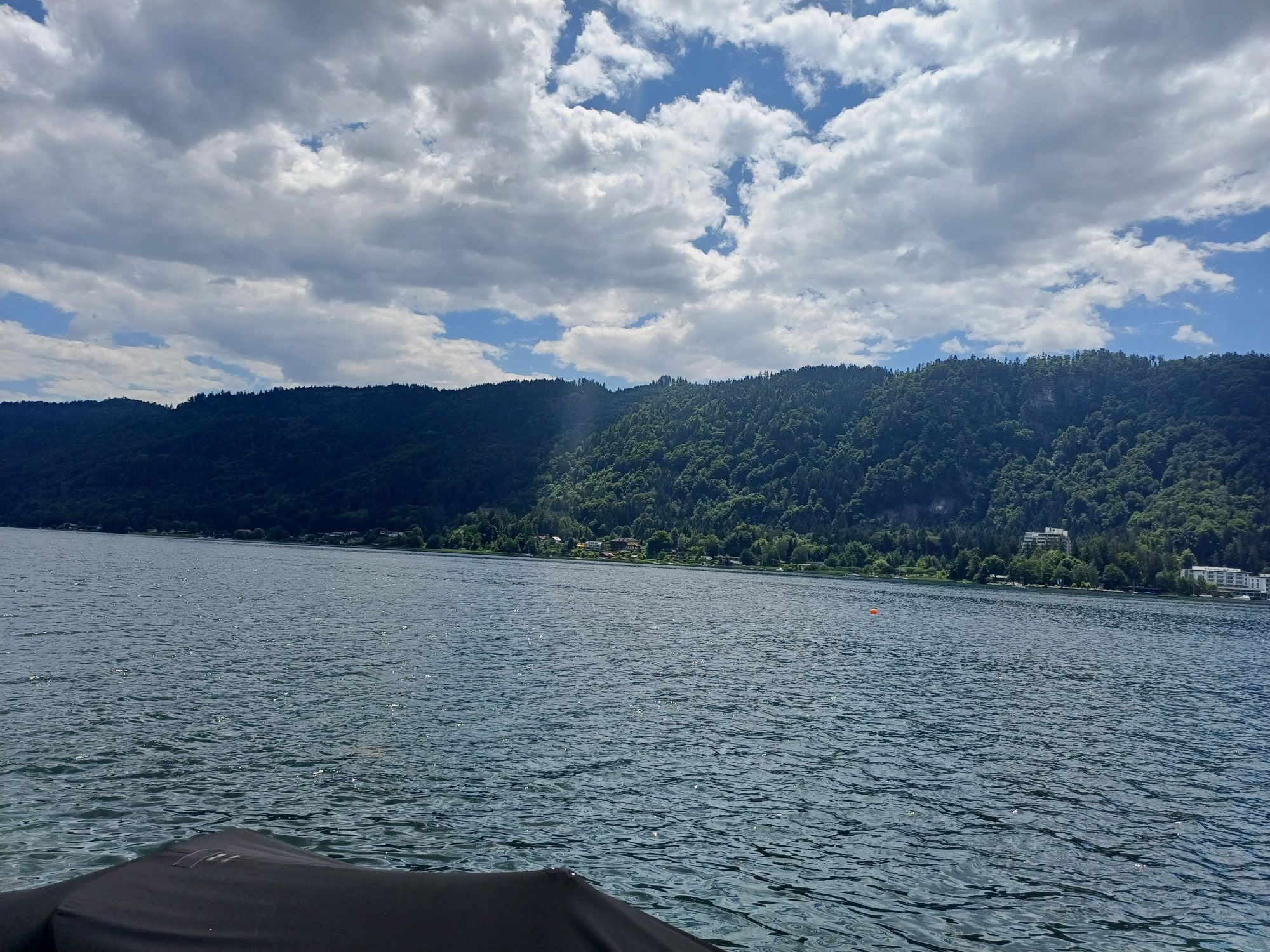
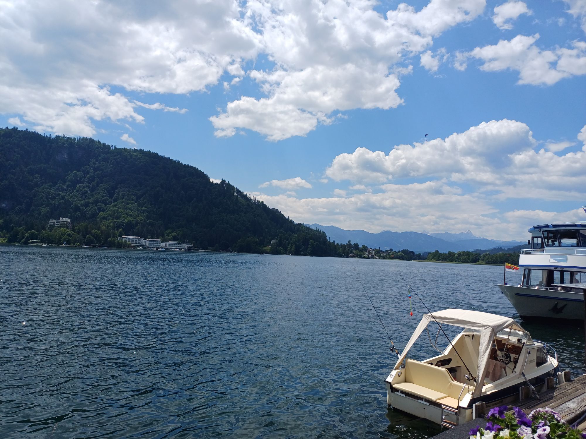
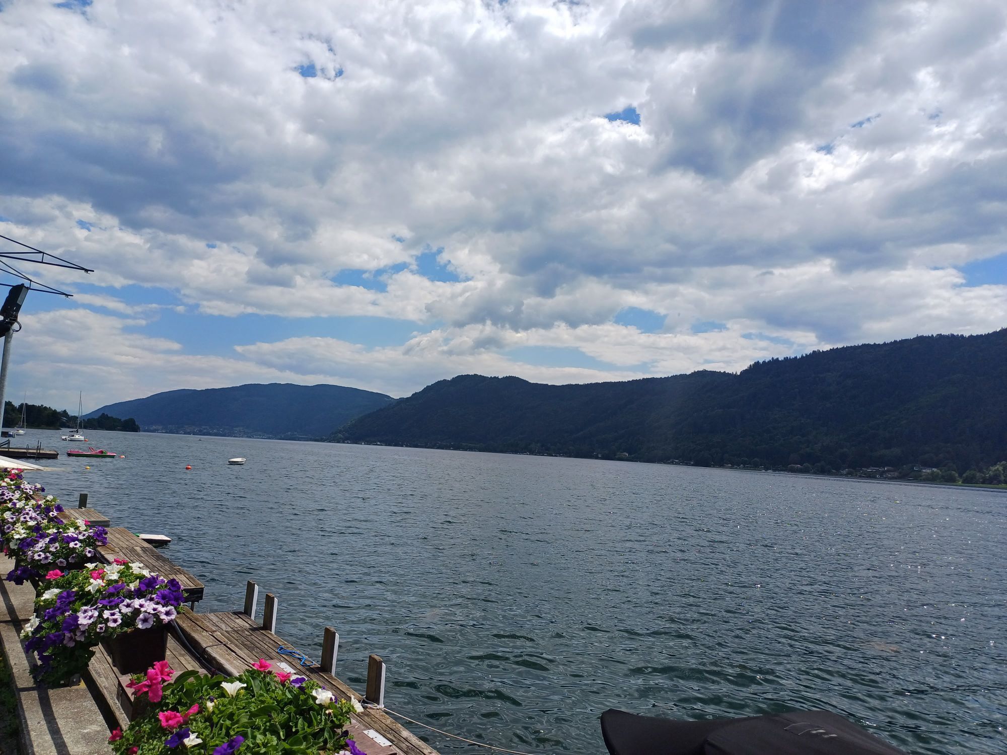
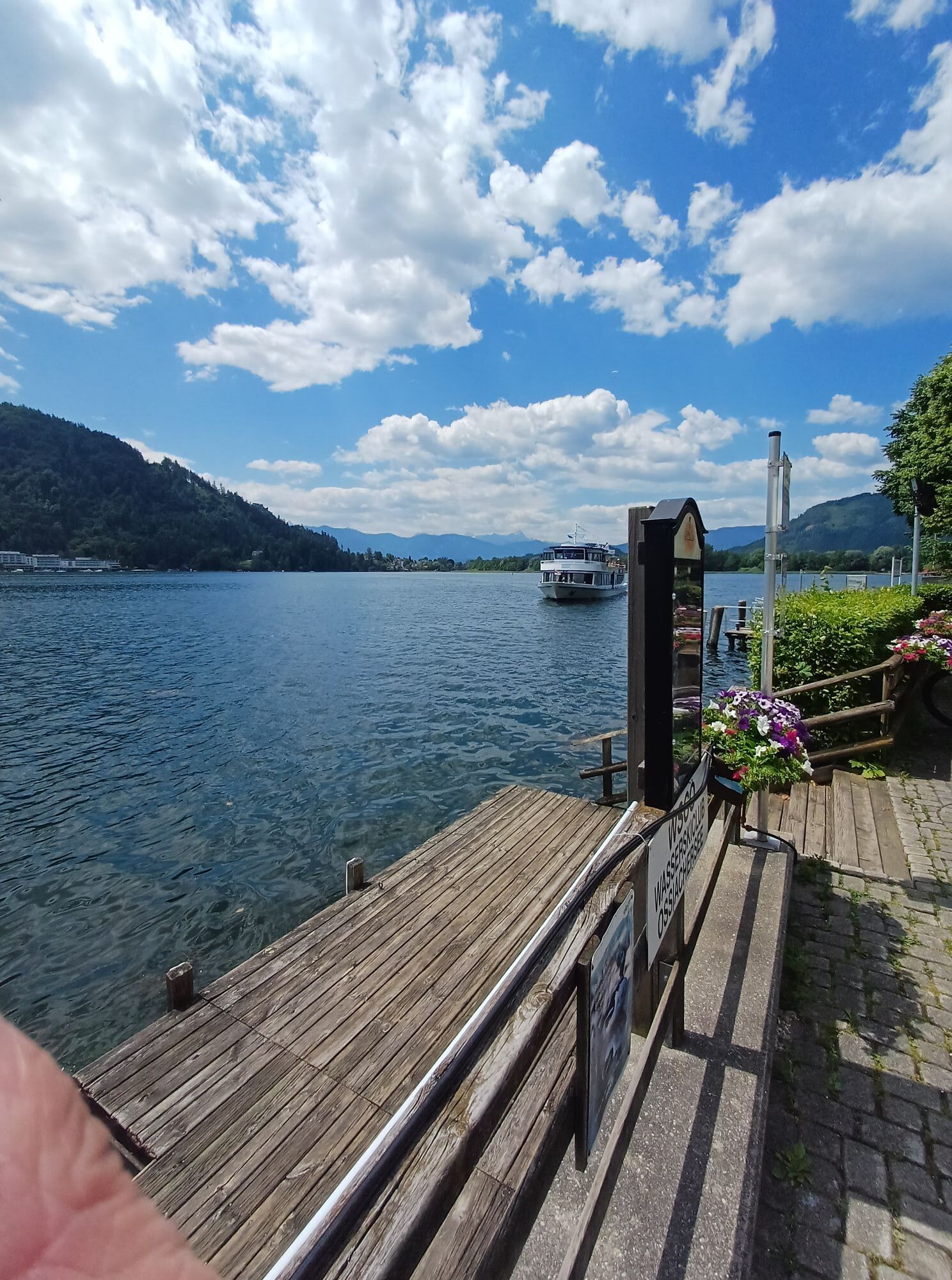
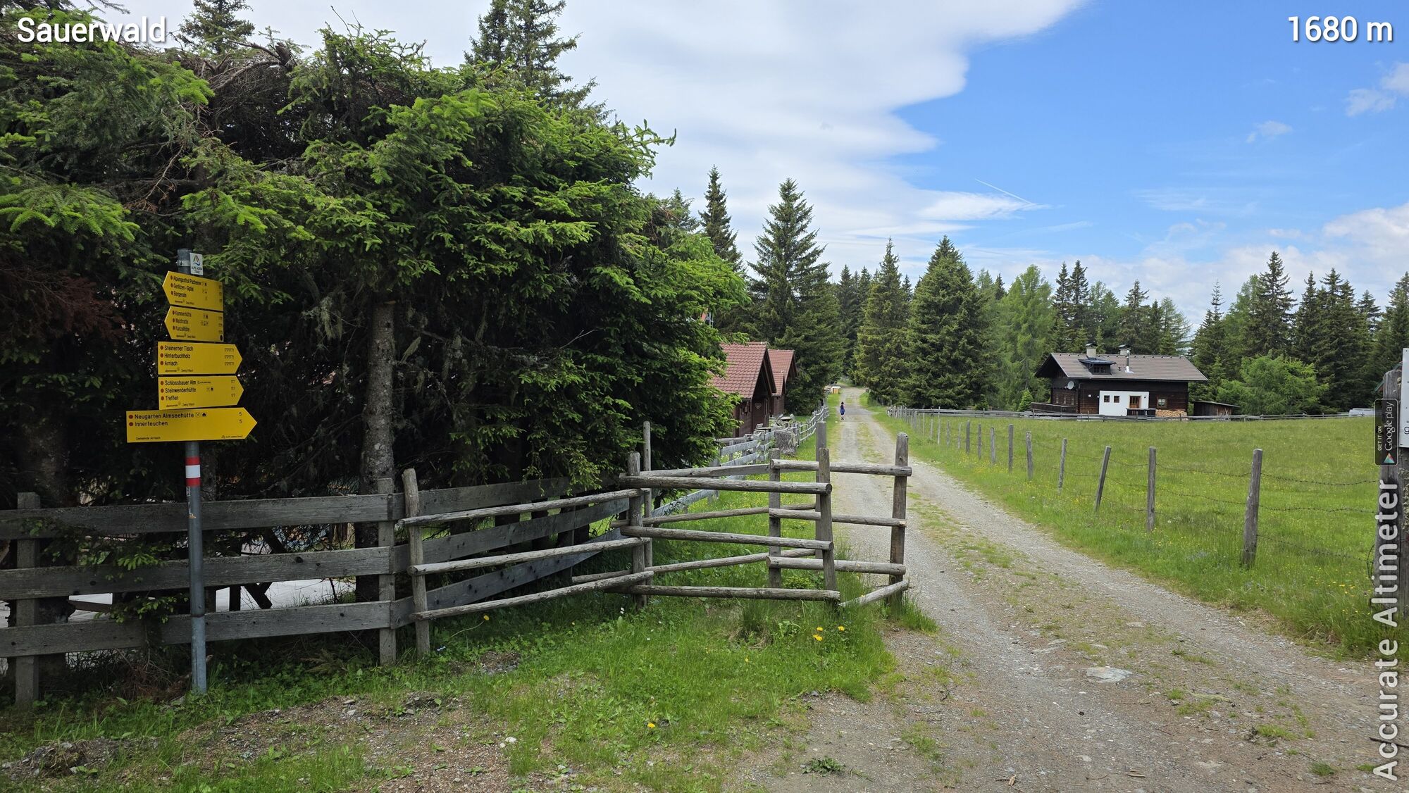
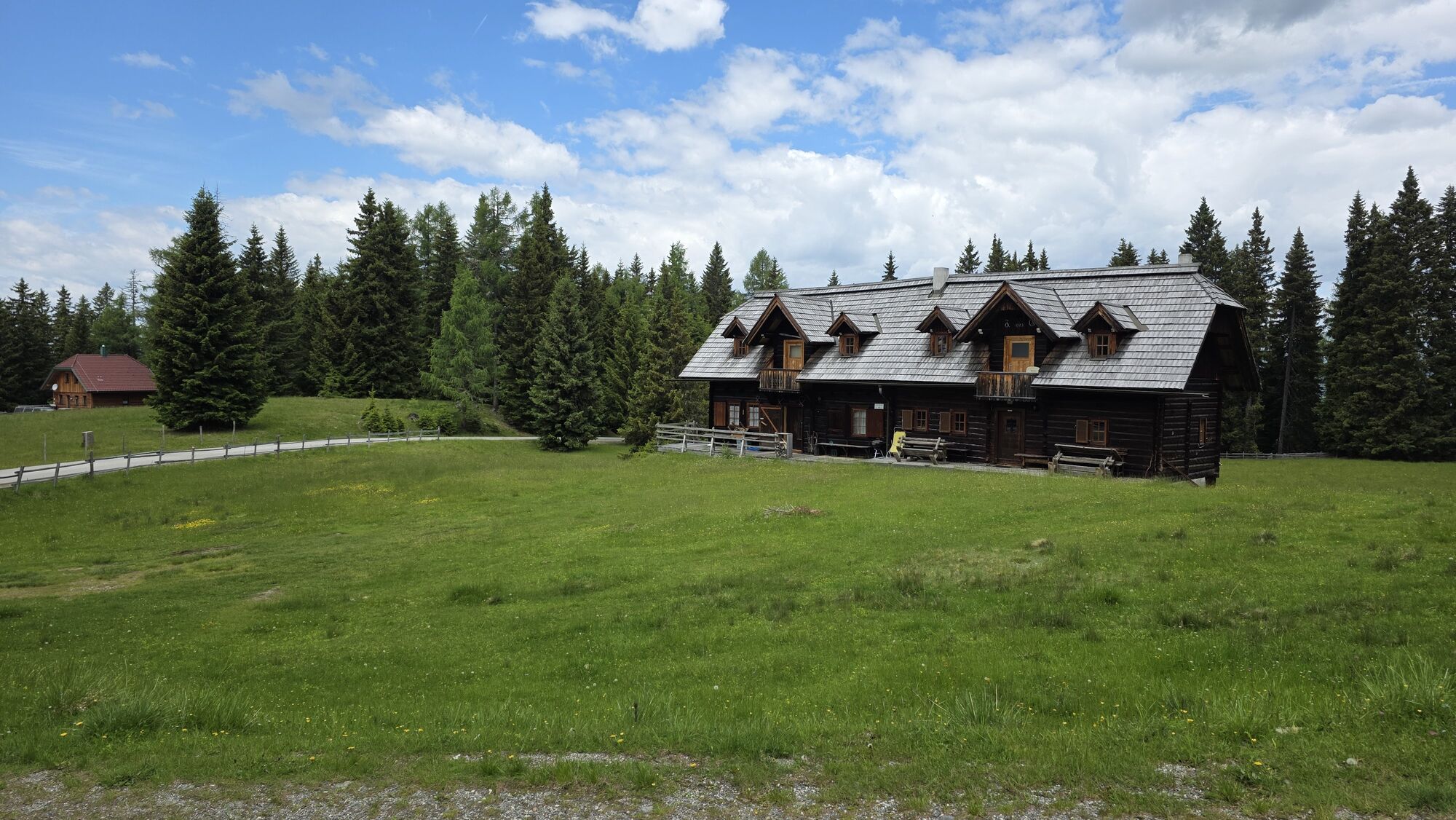
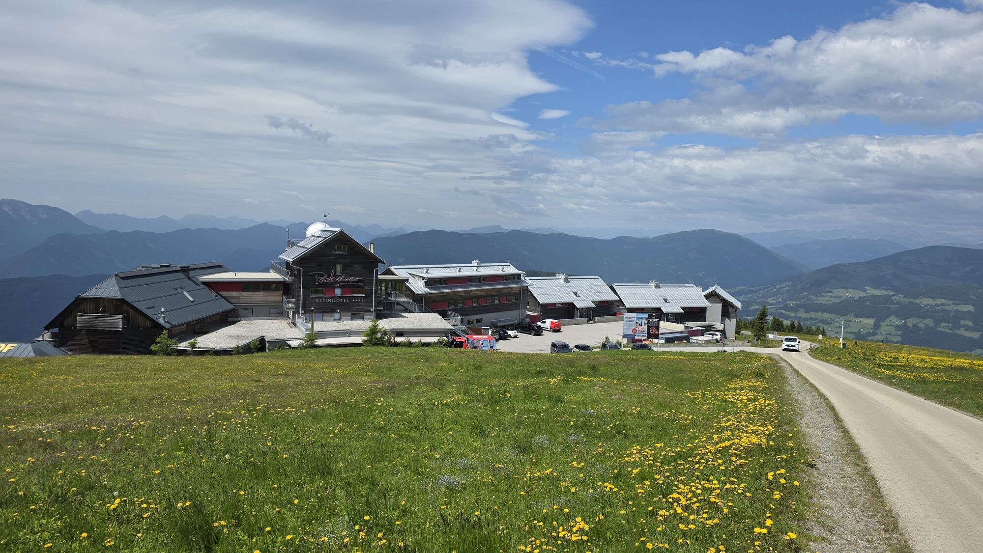
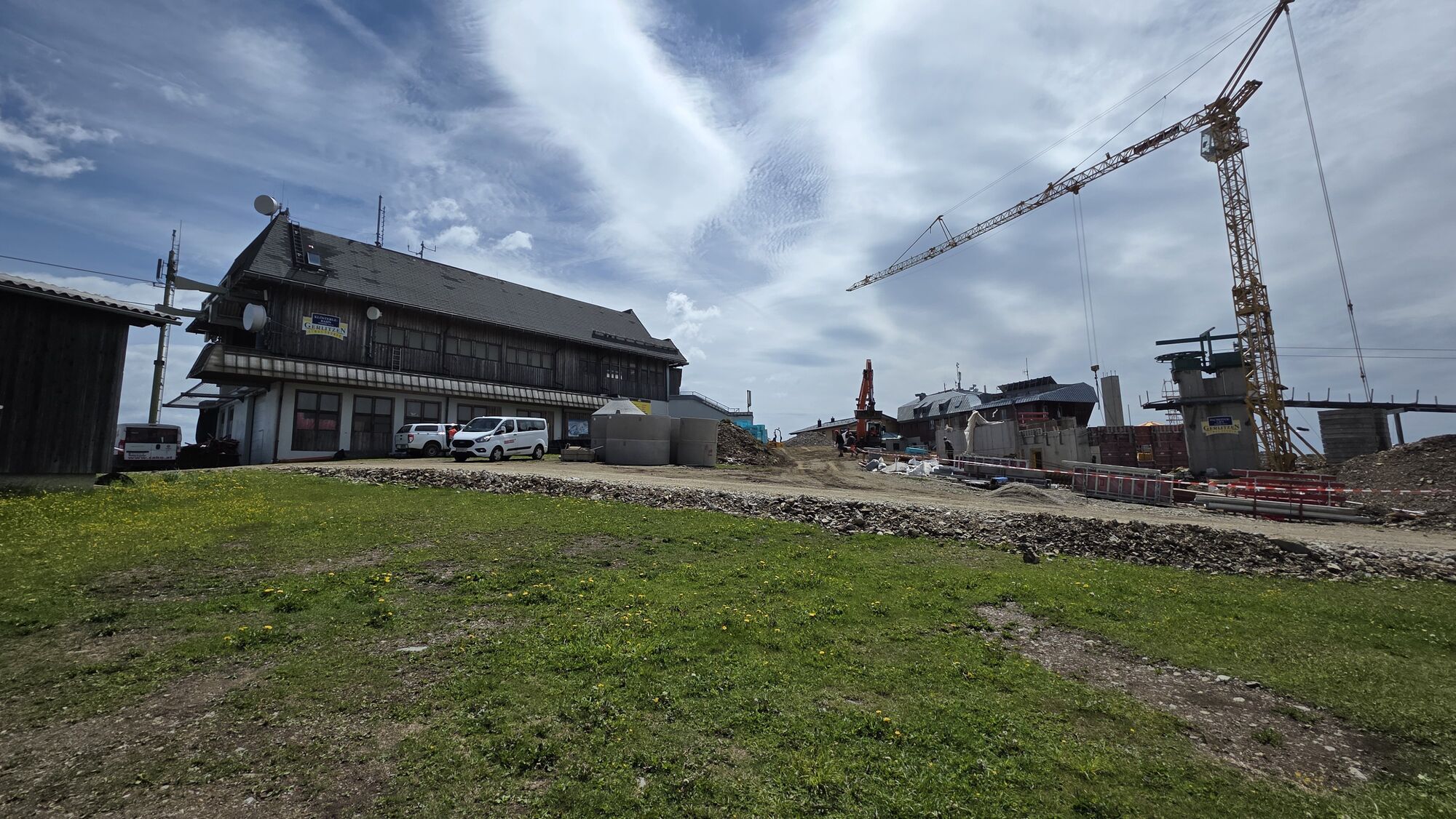
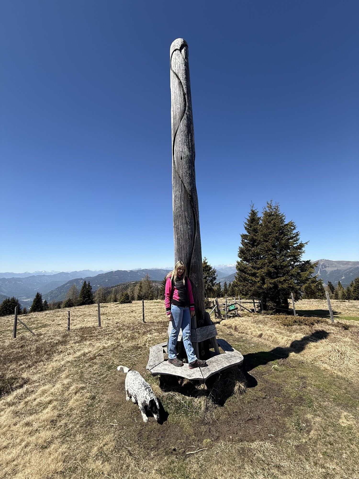
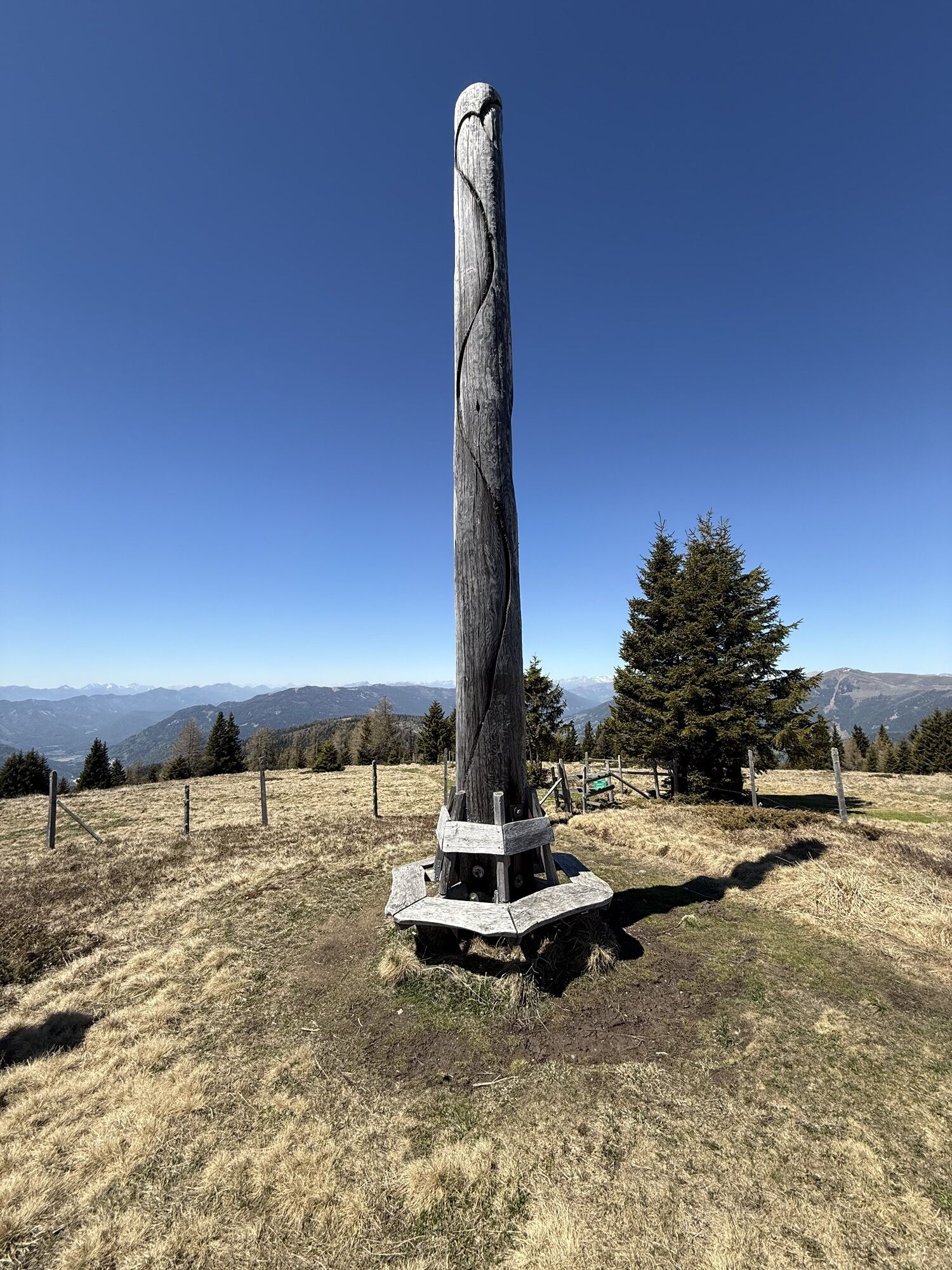
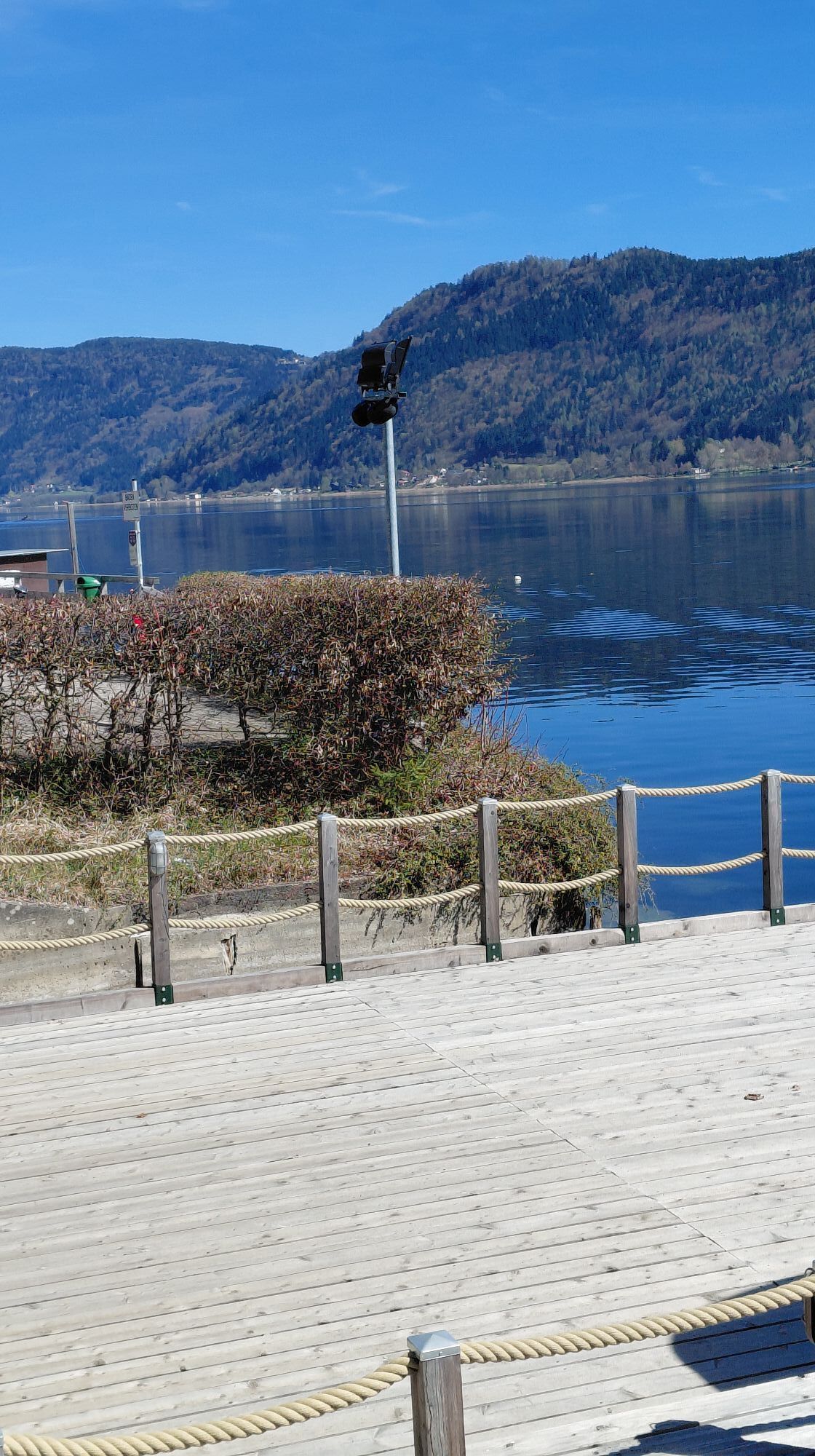
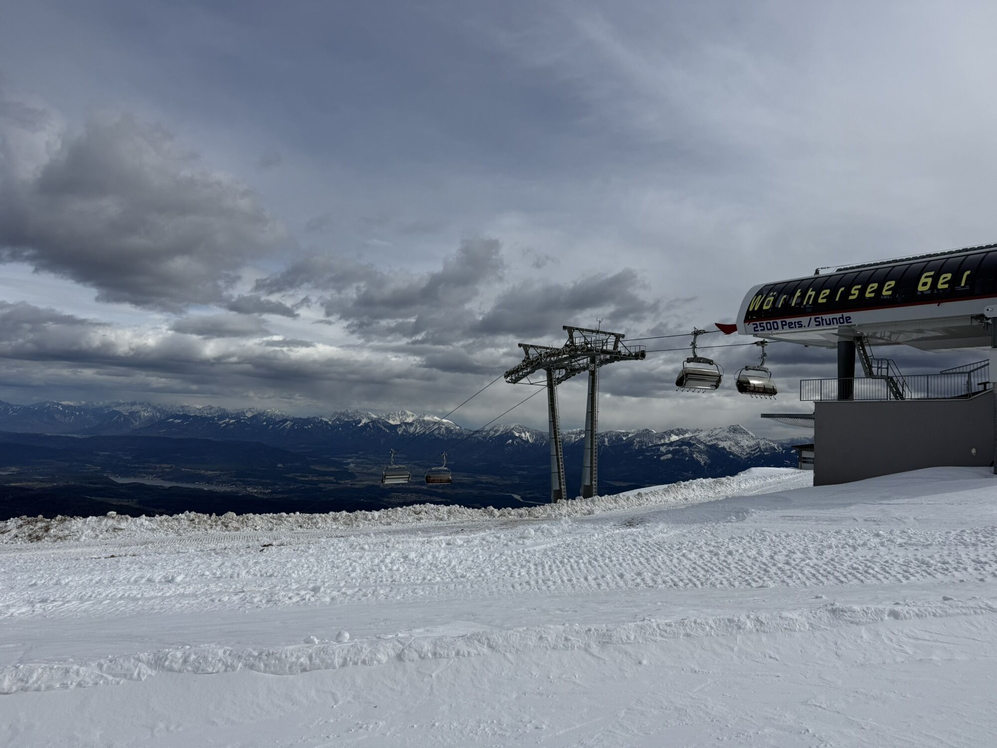
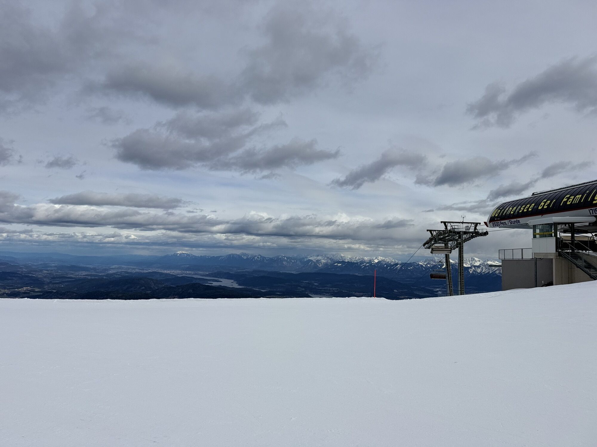
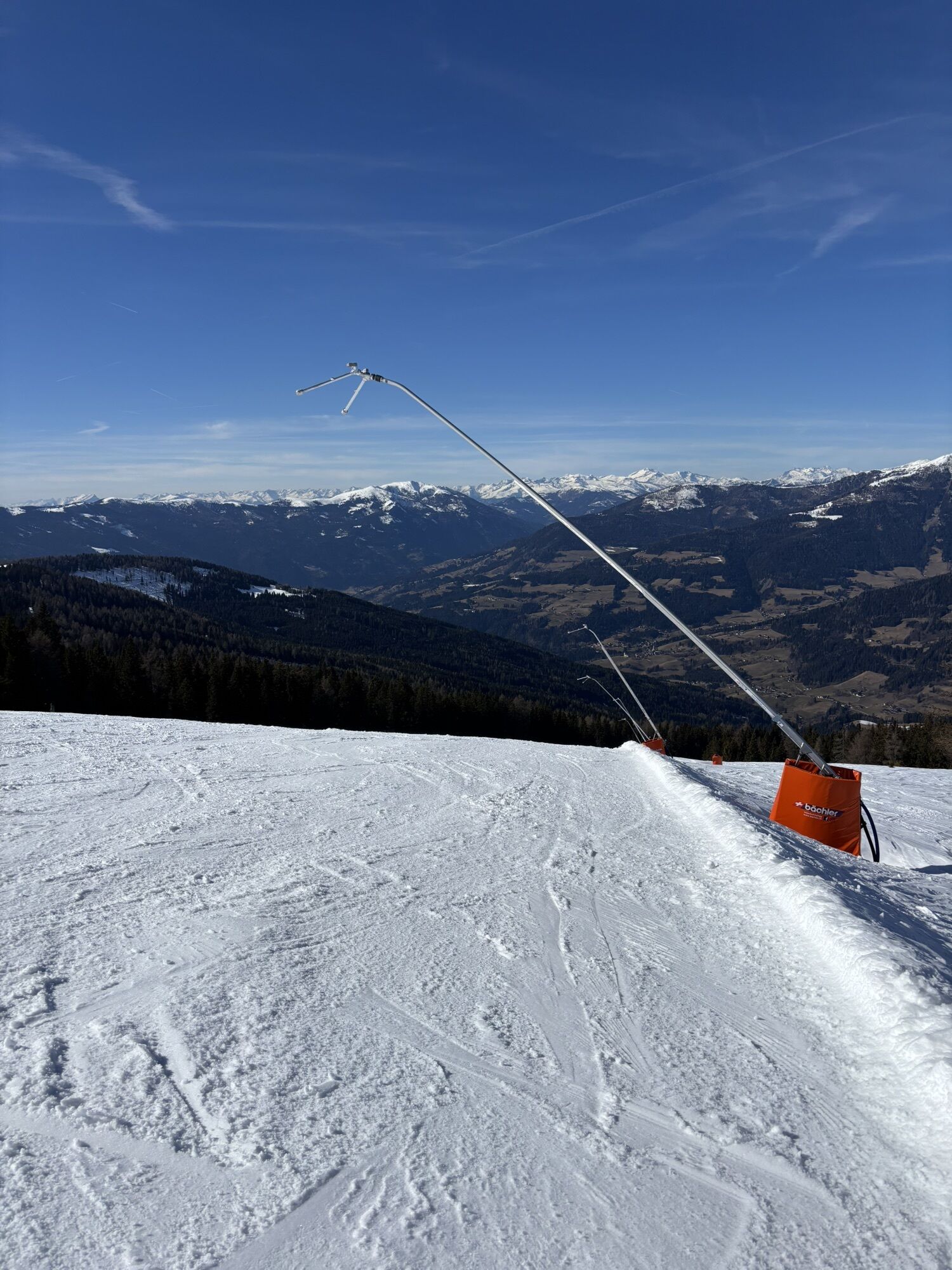
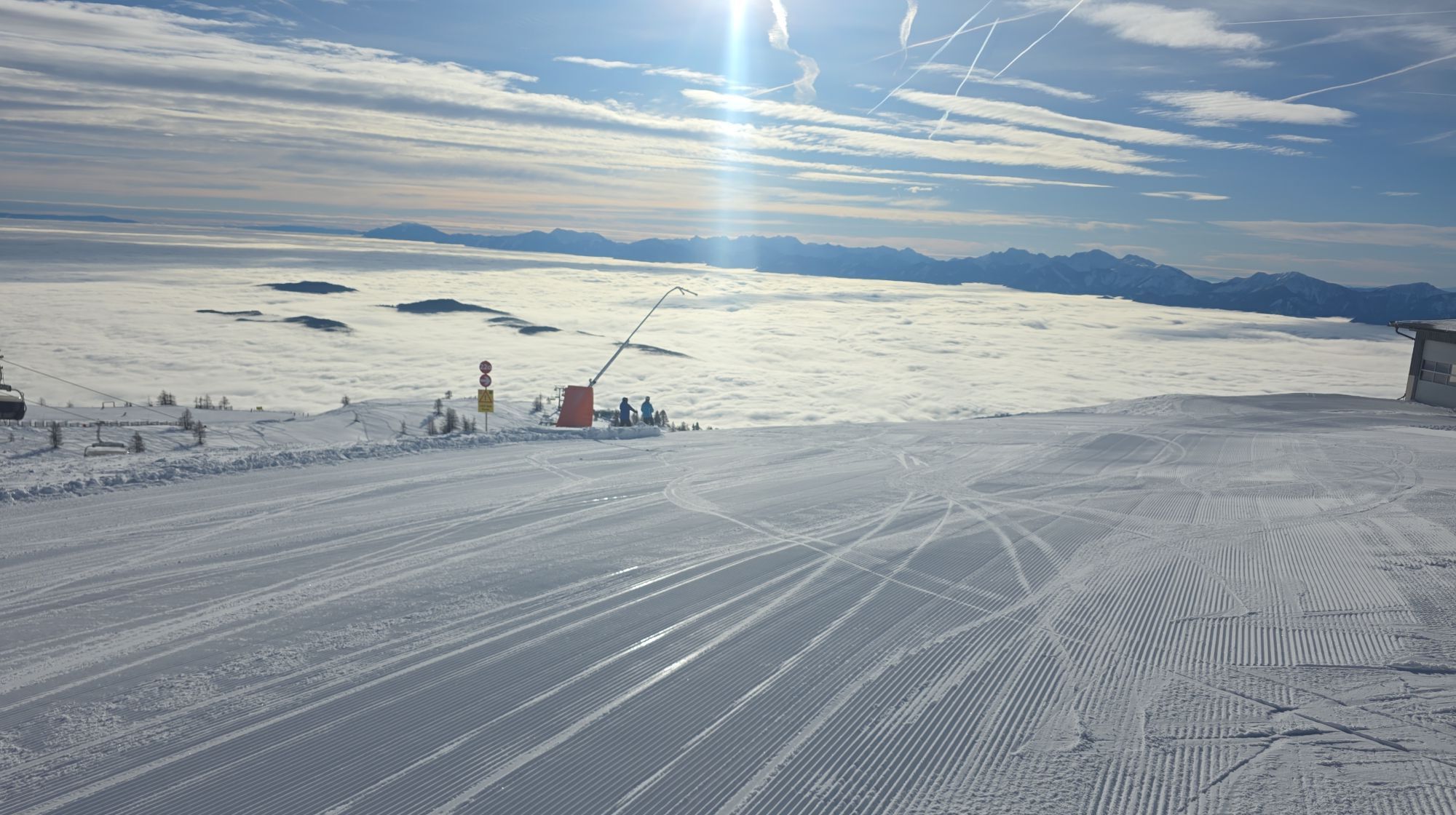
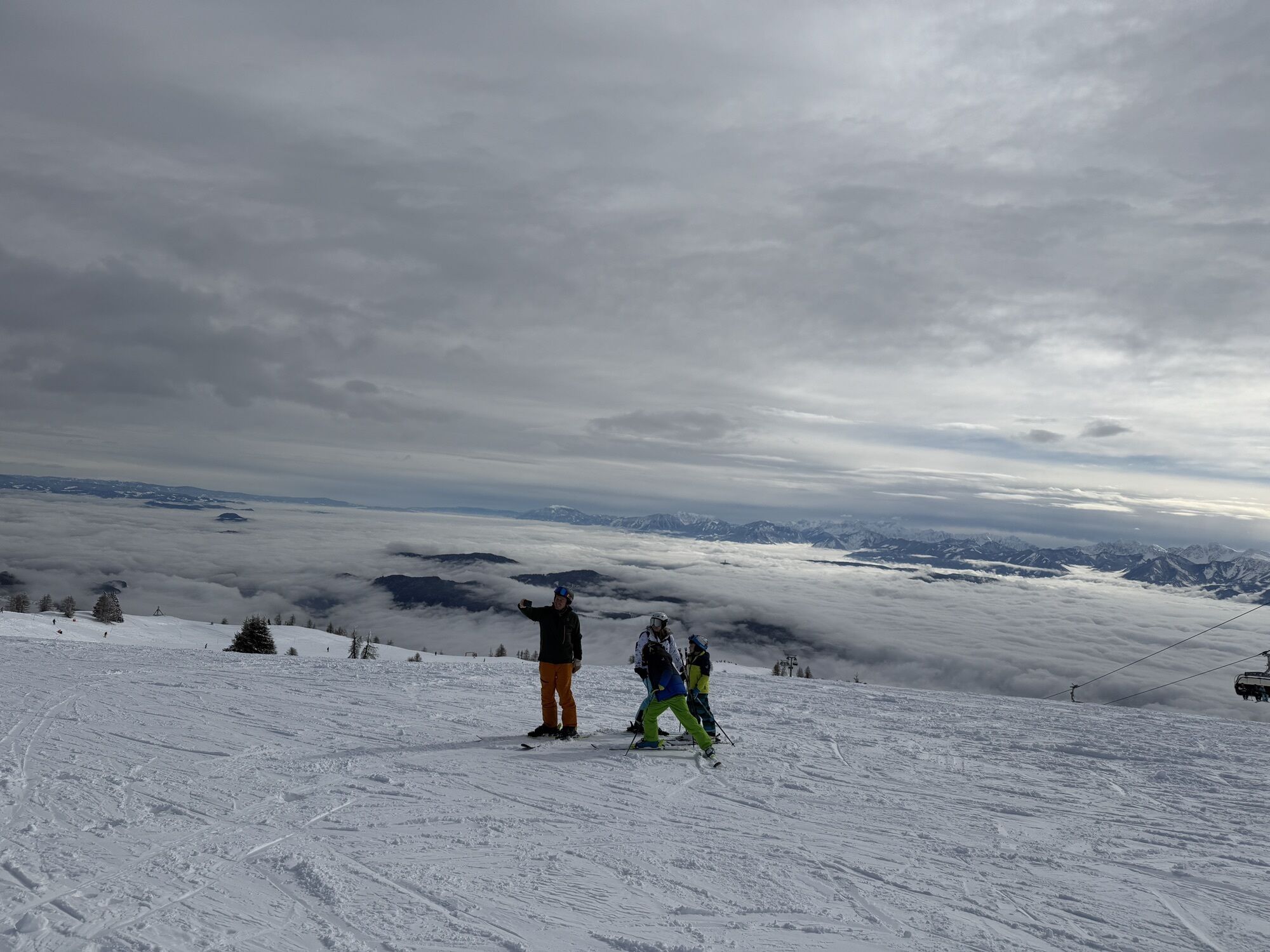
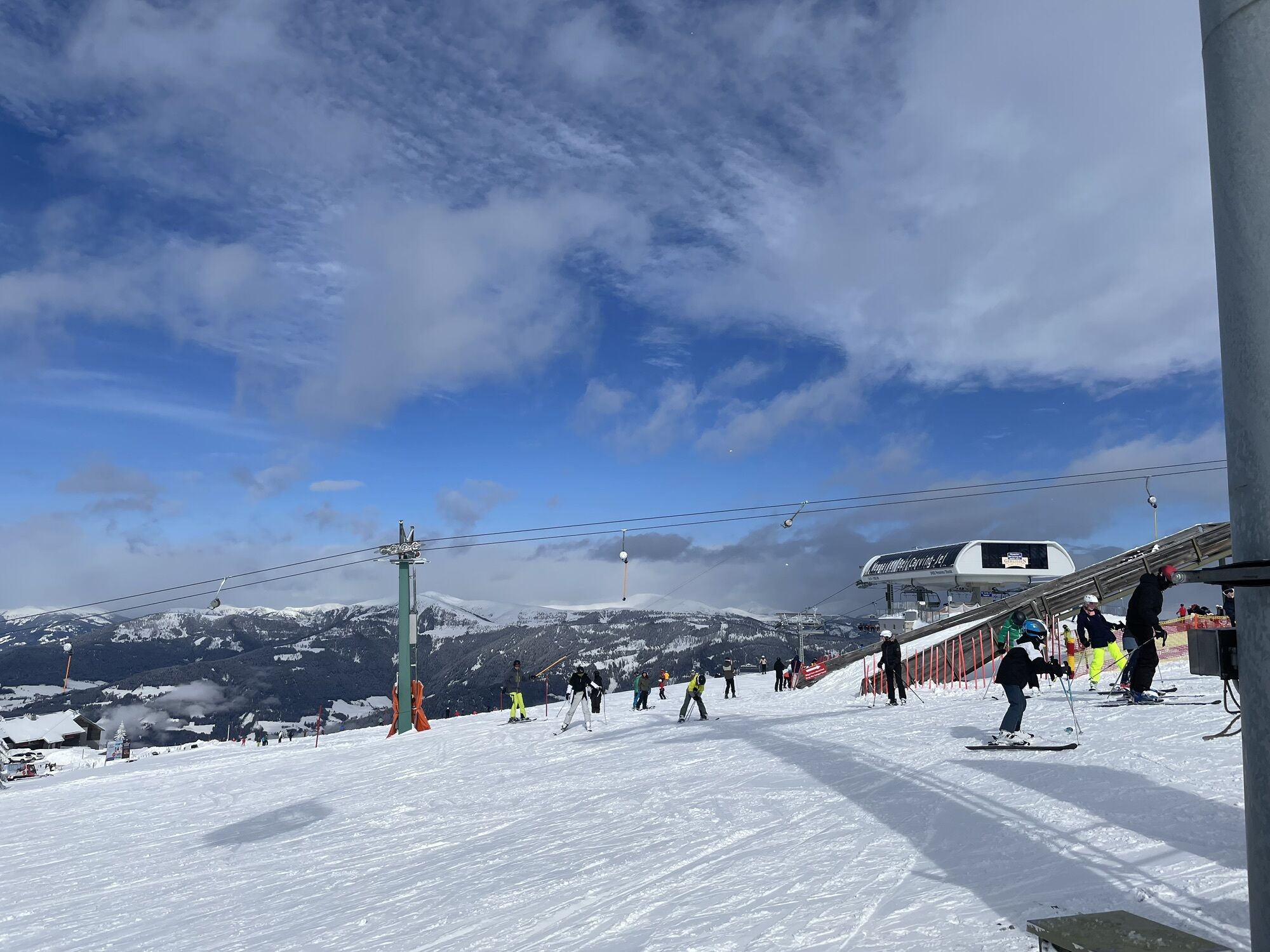
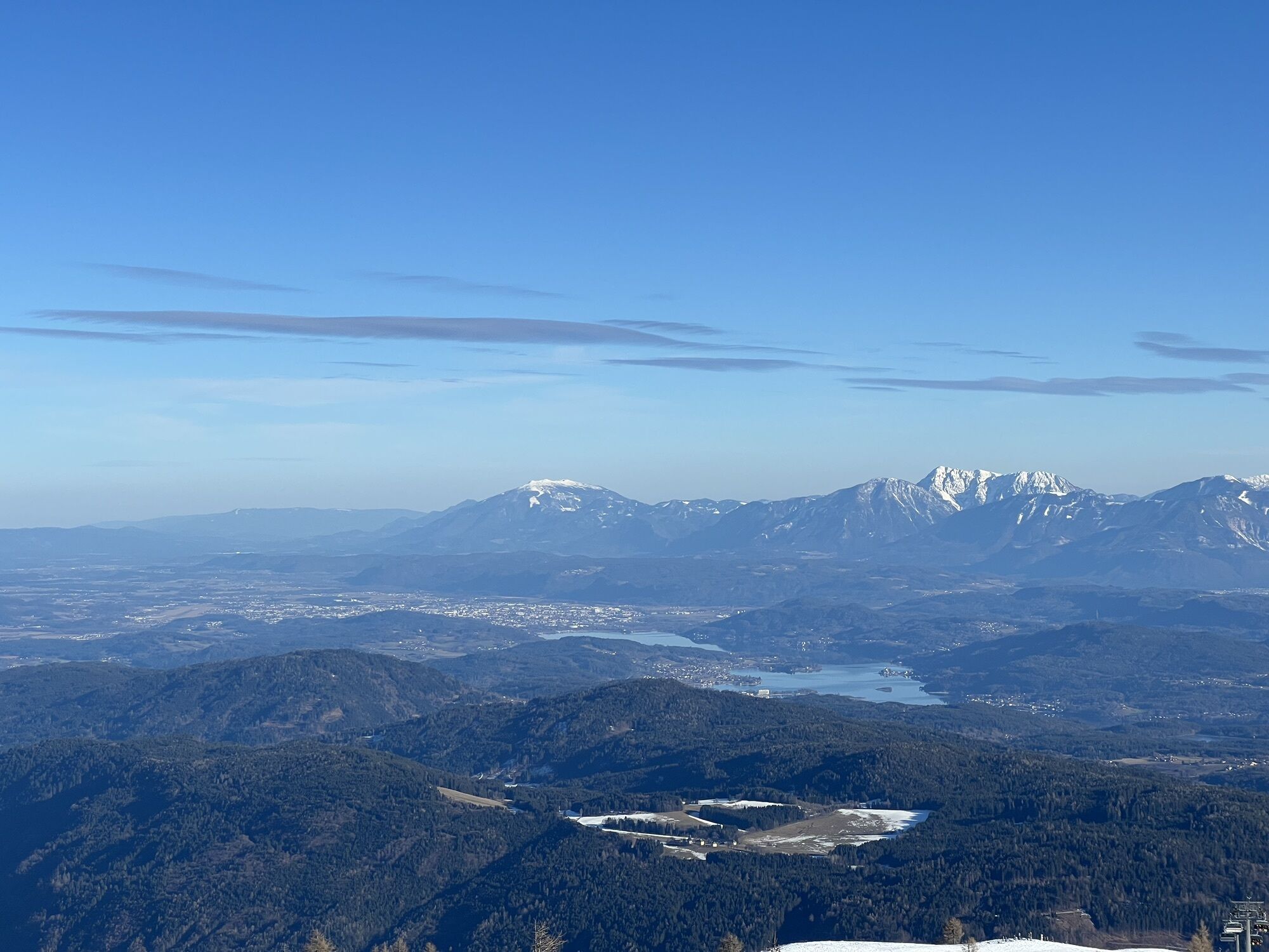
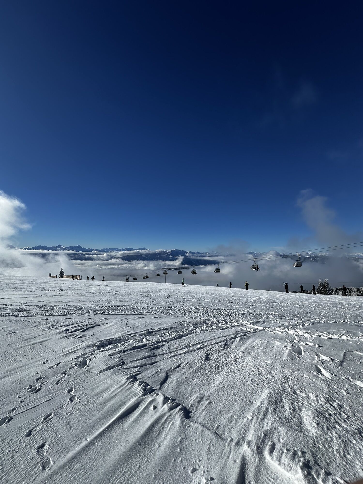
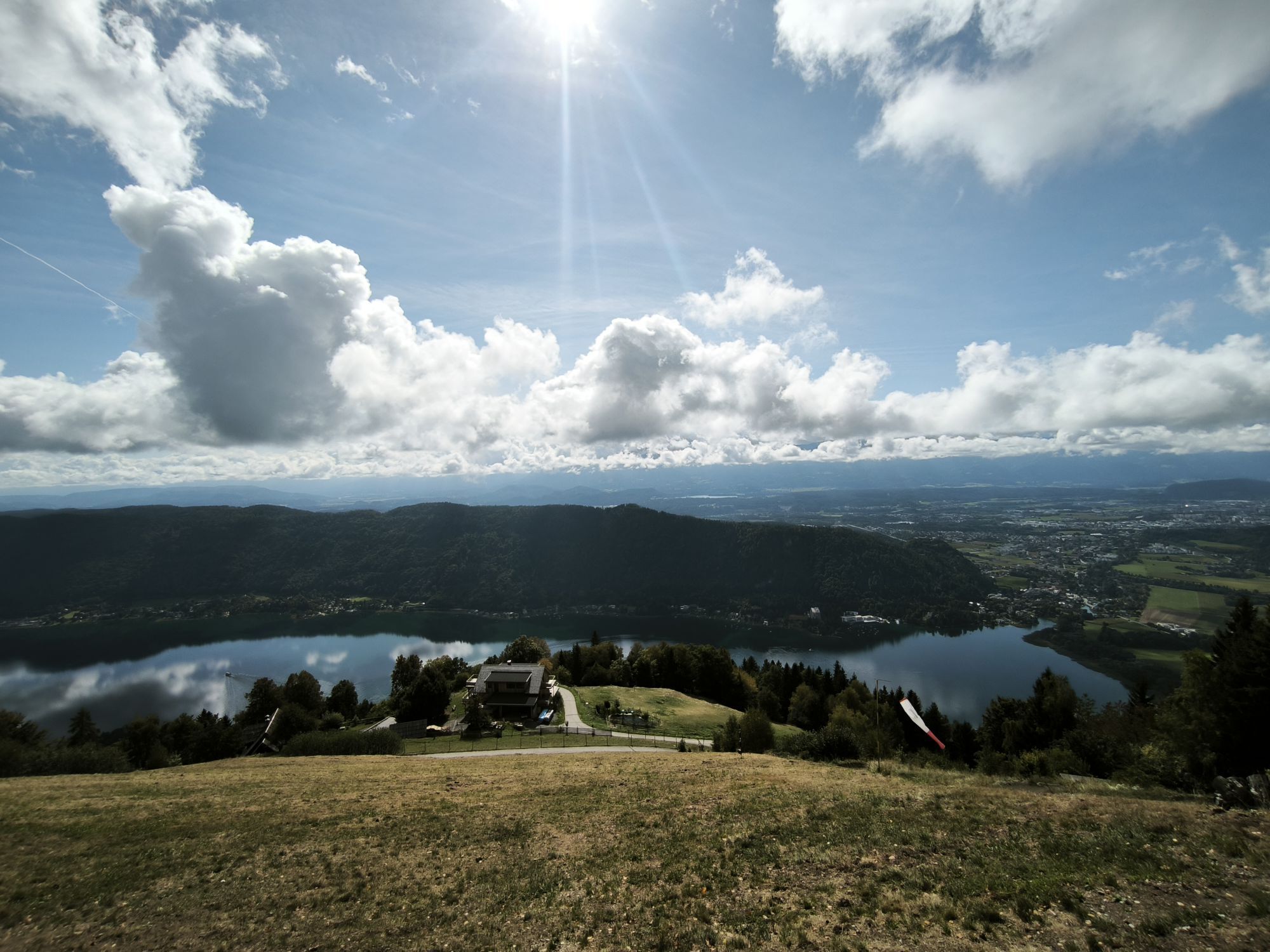
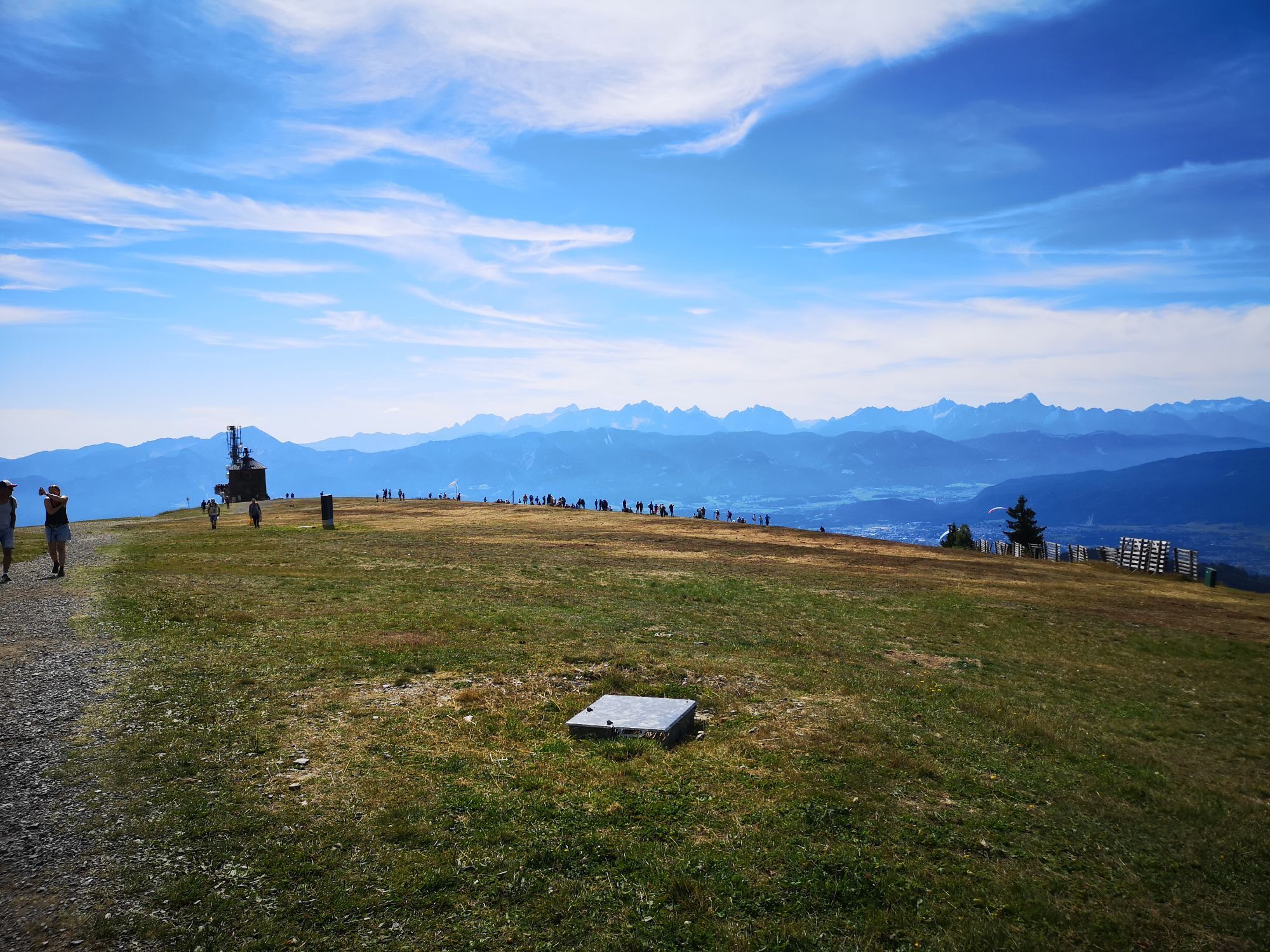
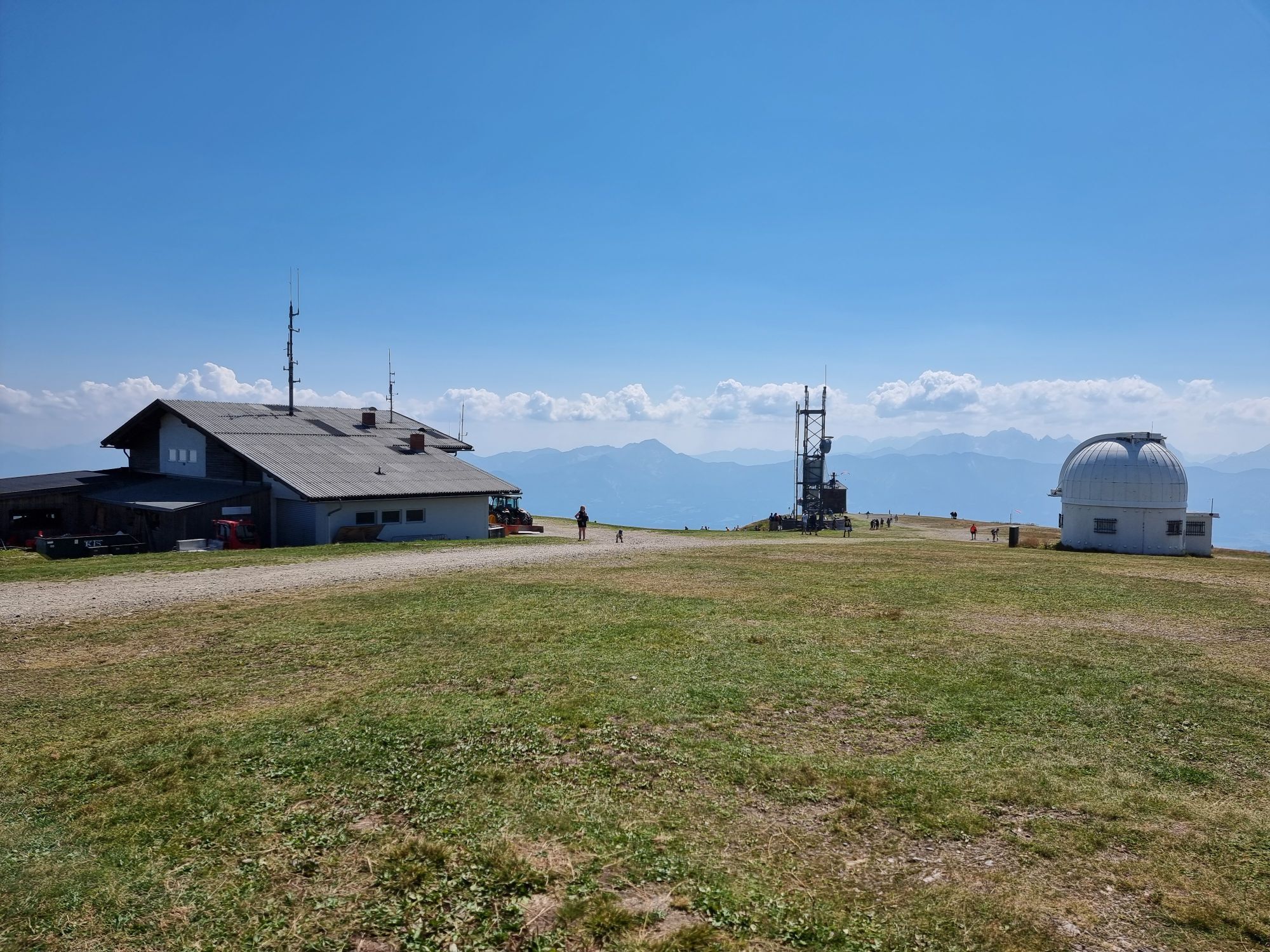
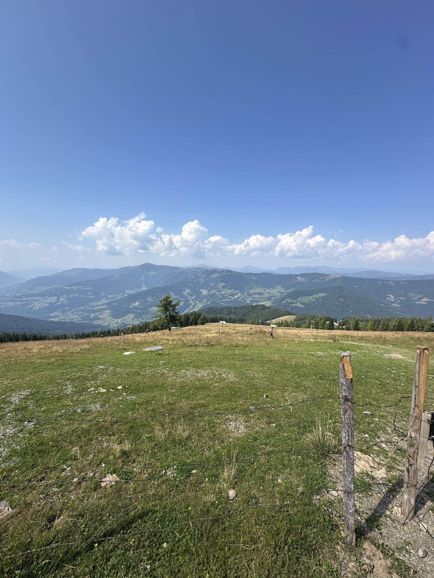

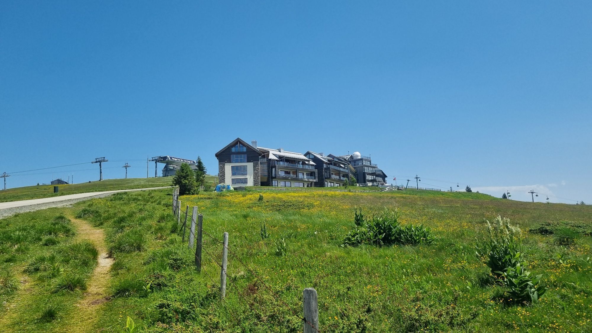
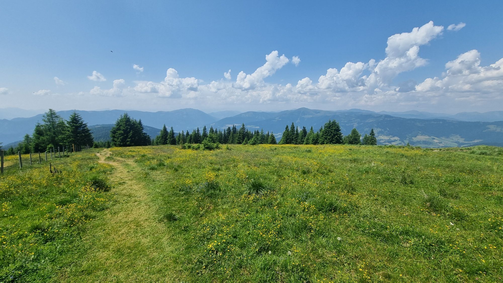
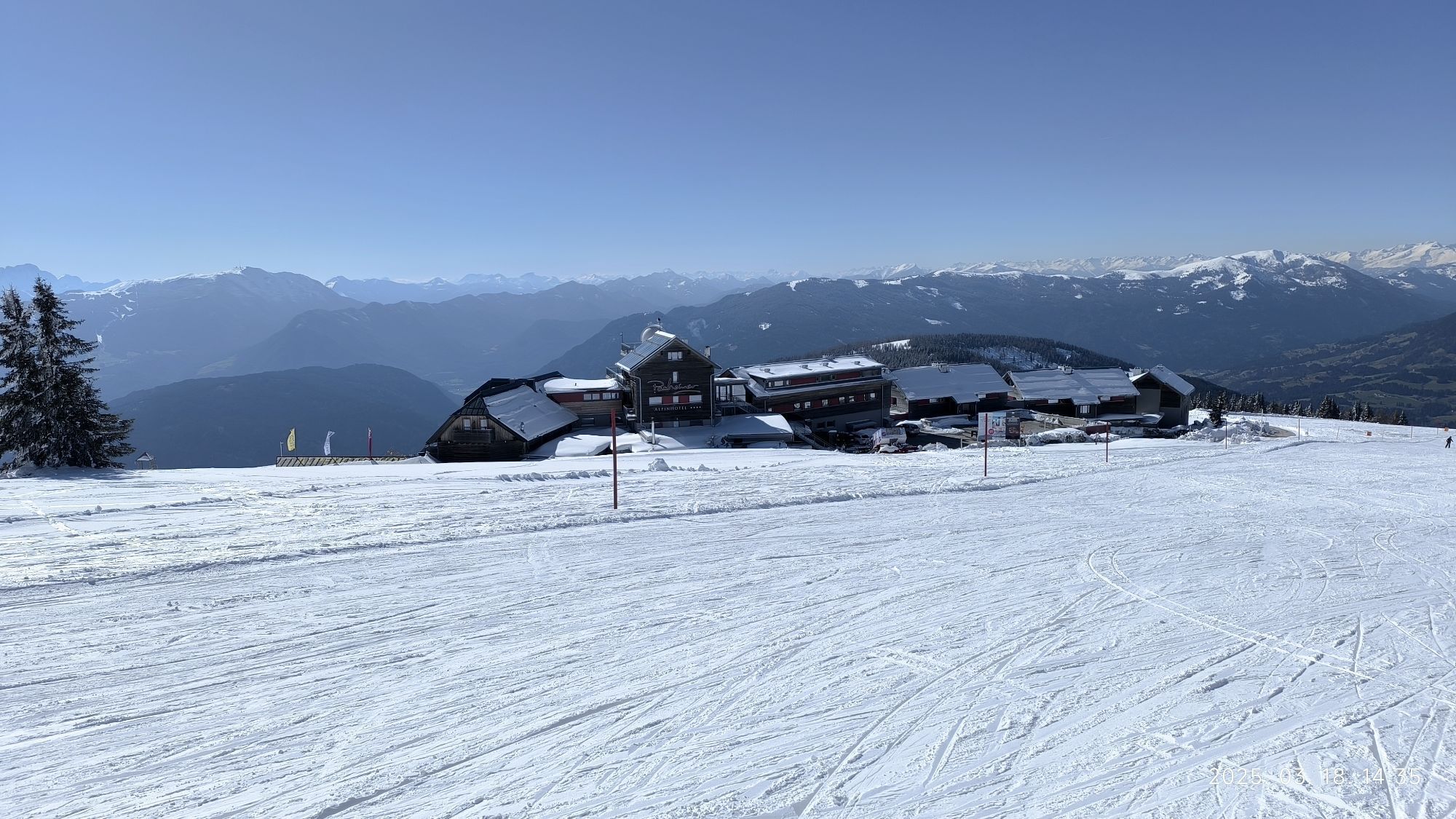
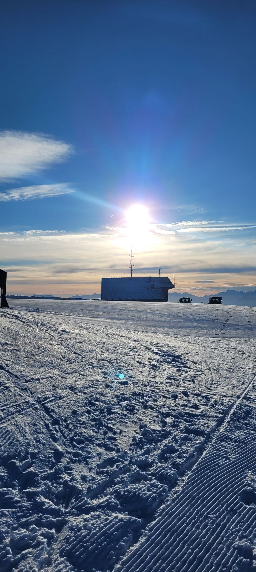
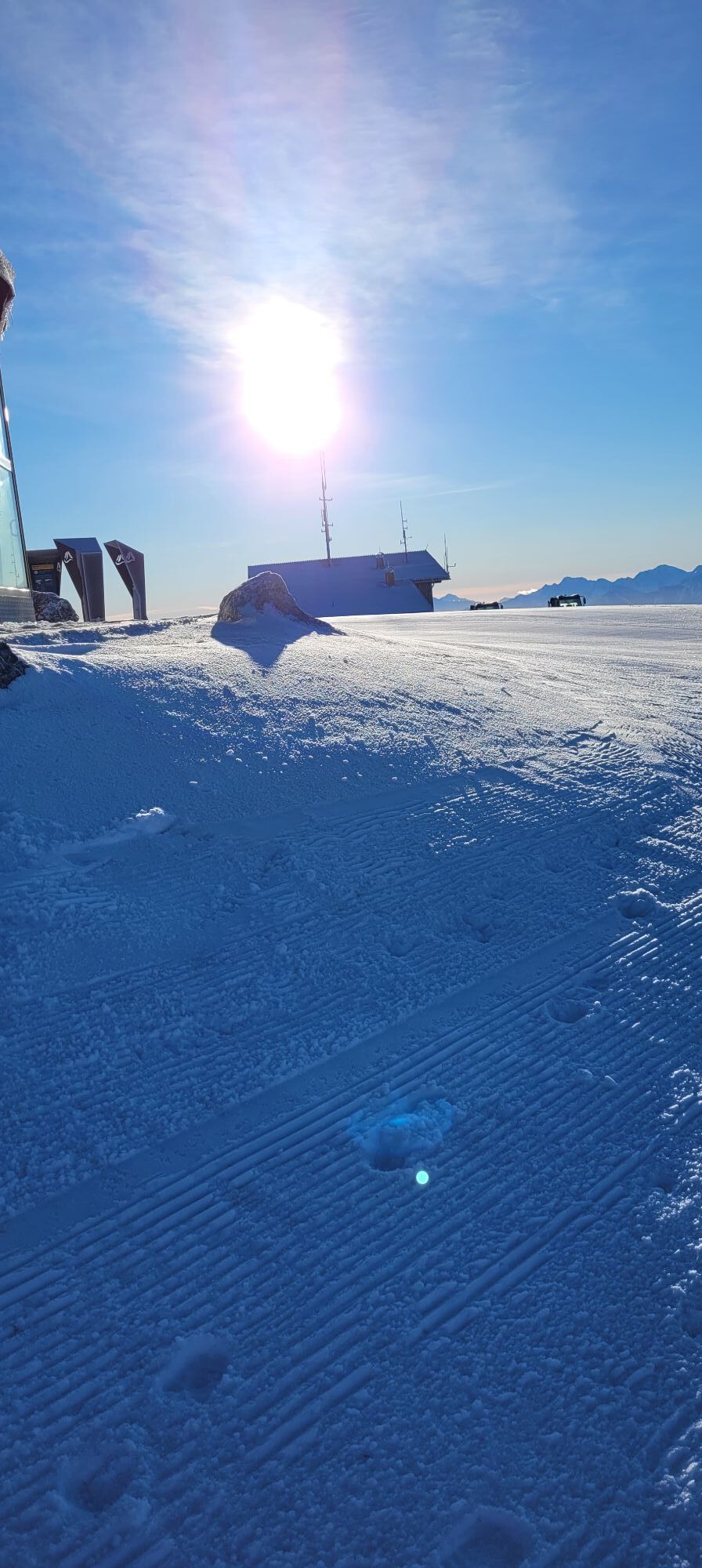
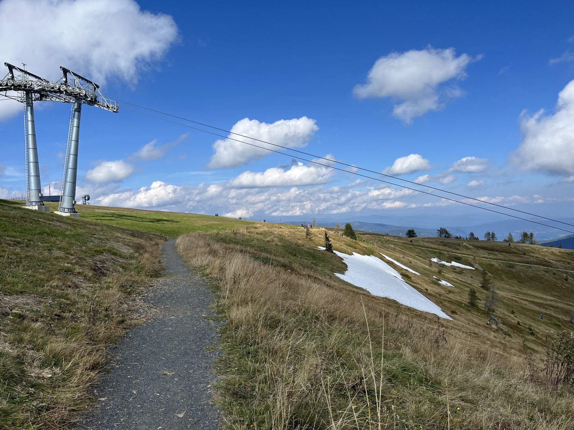
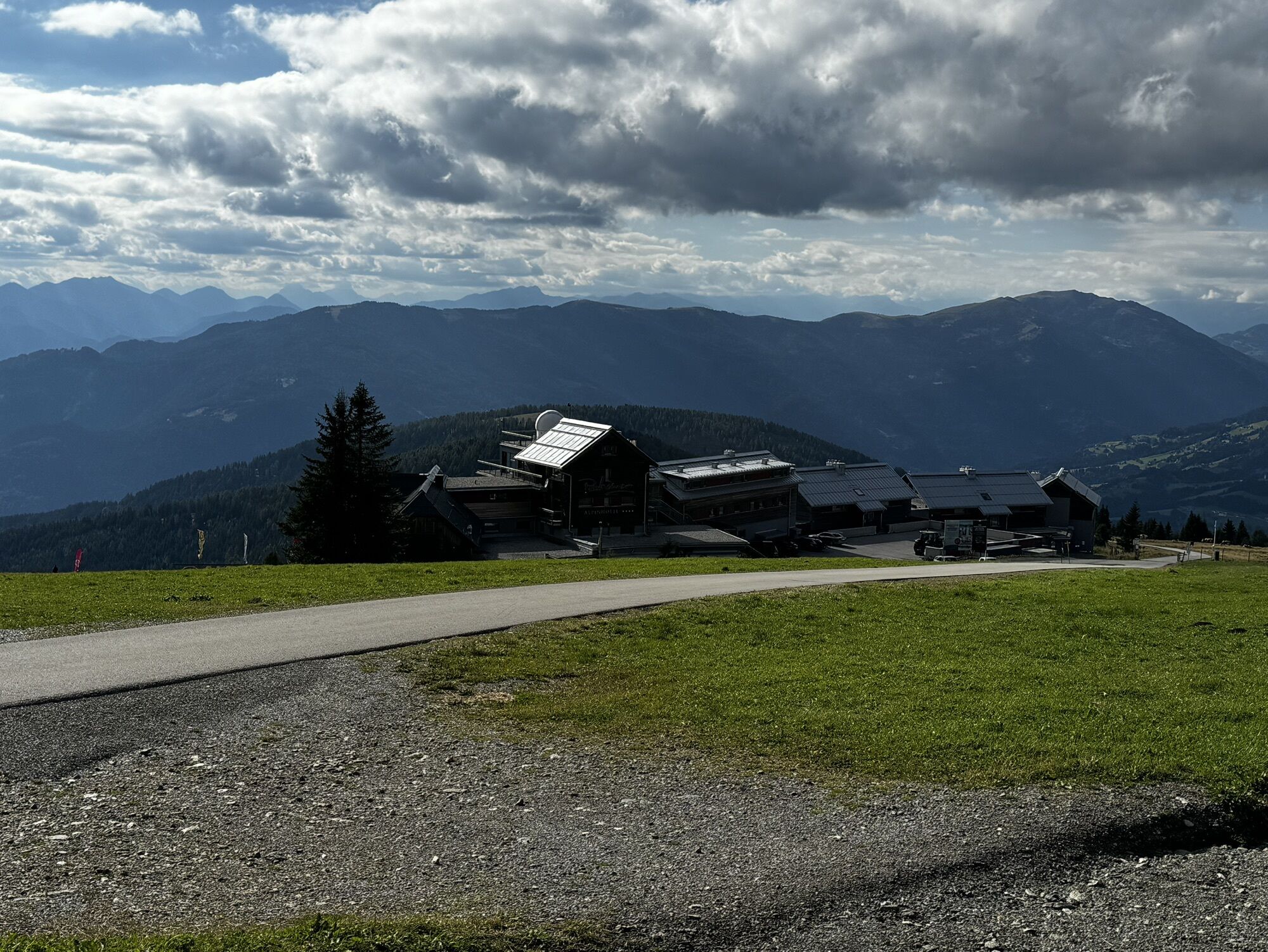
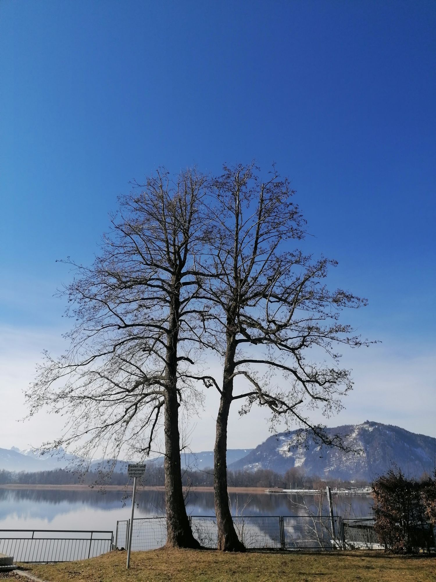
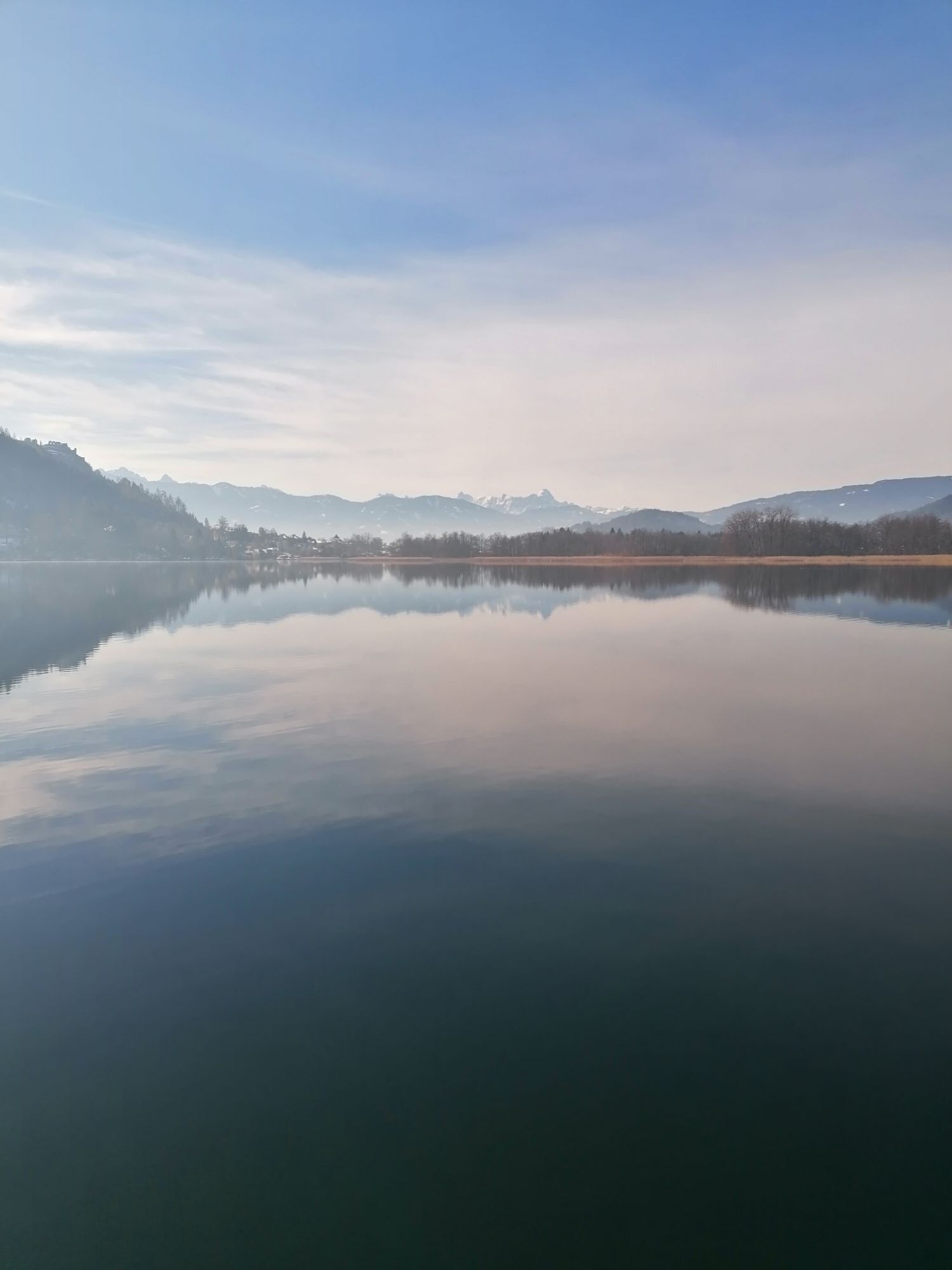
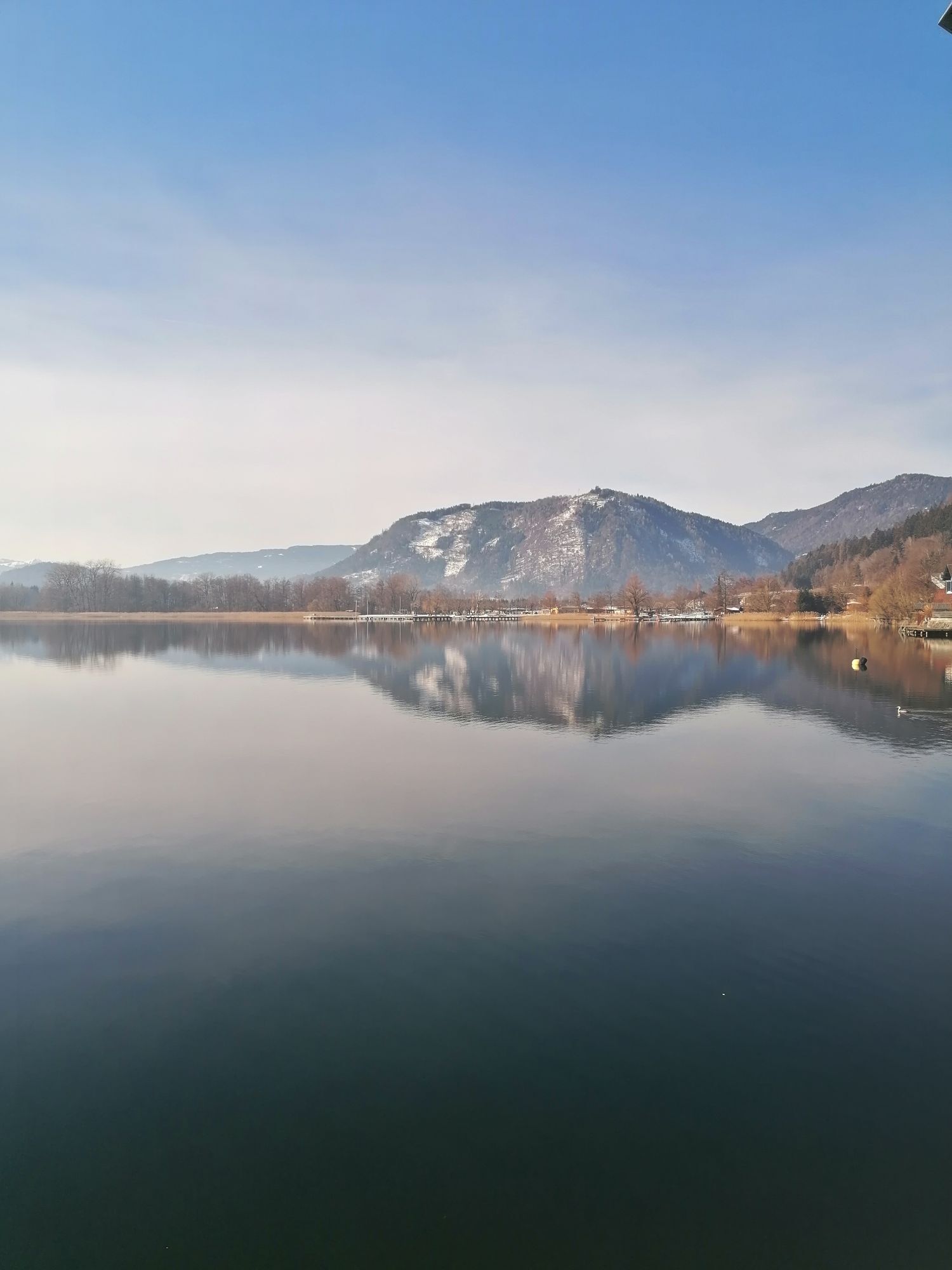
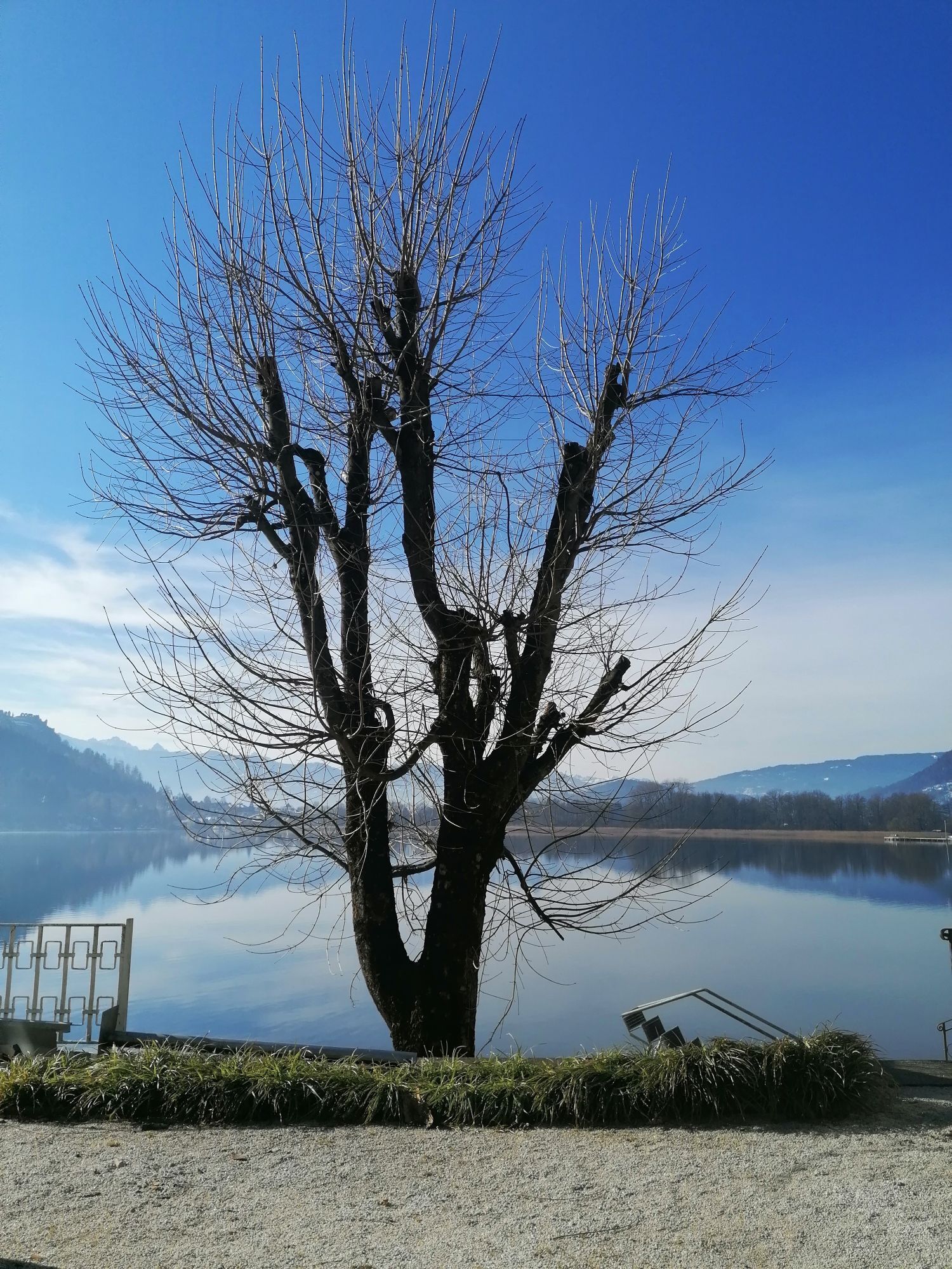
With the cable car to the summit of the Gerlitzen and enjoyably back to Lake Ossiach by bike.
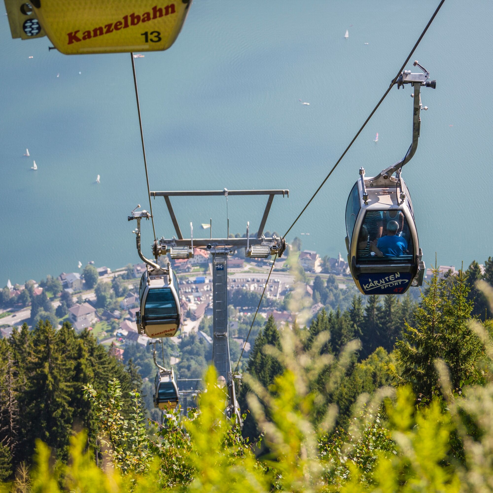
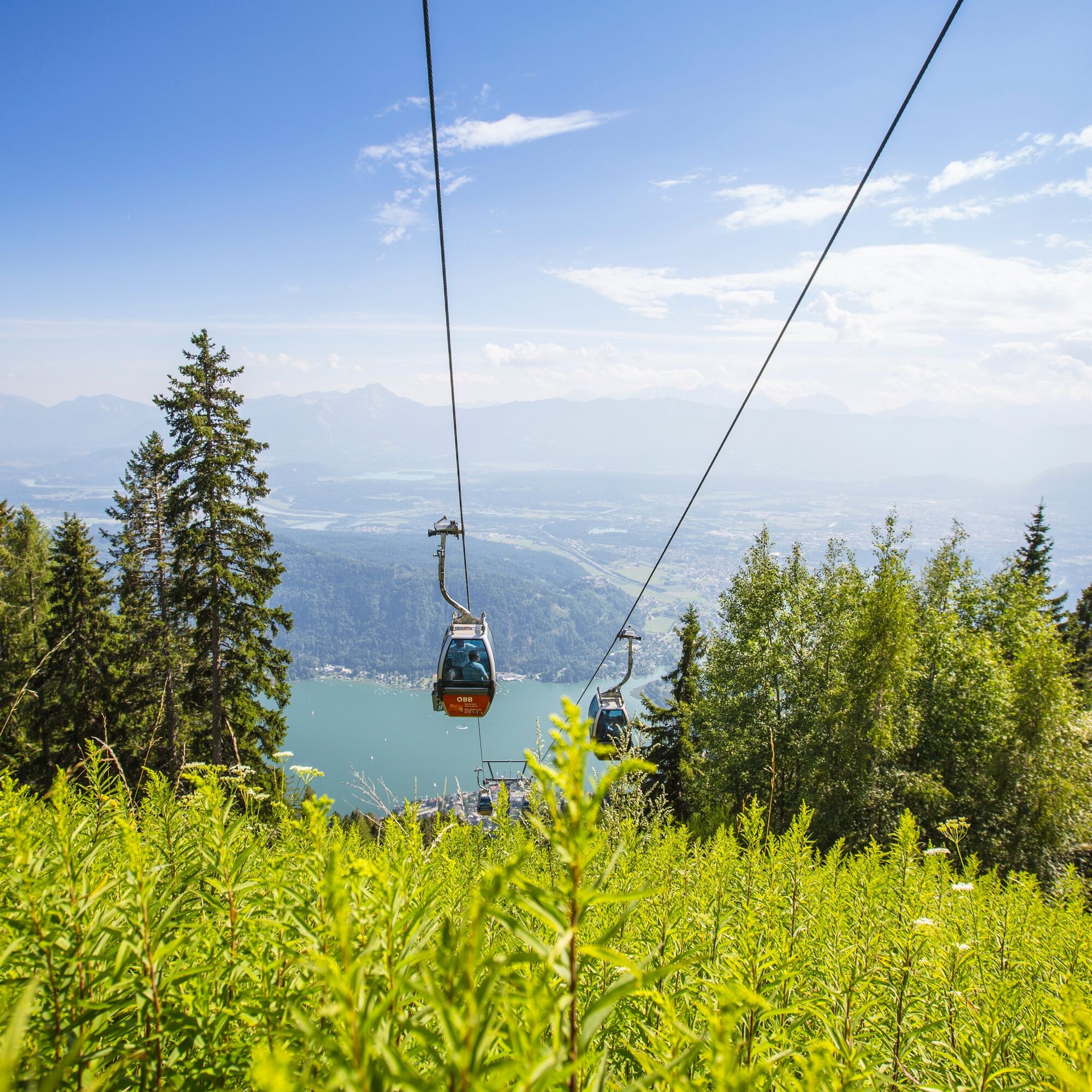
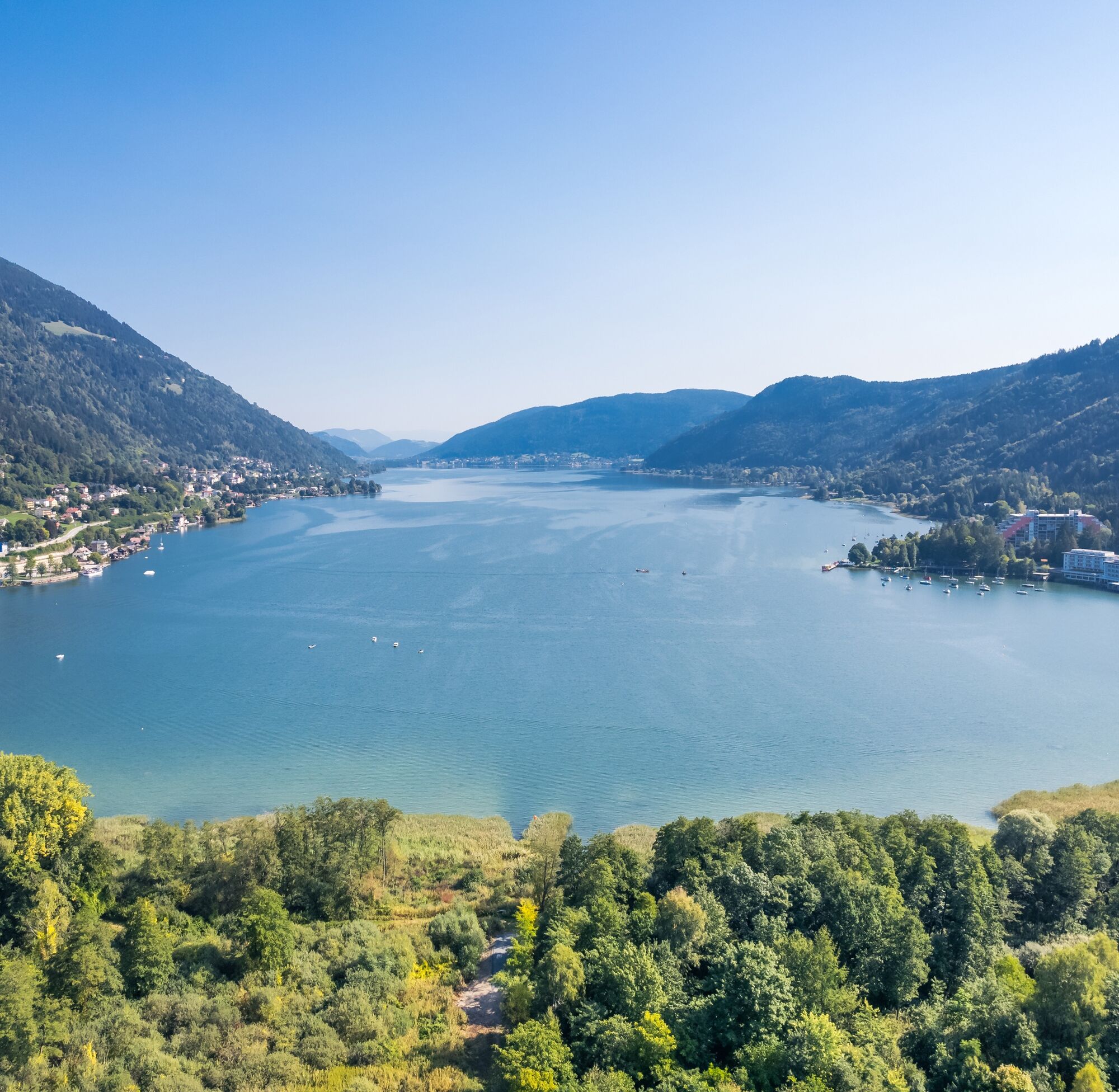
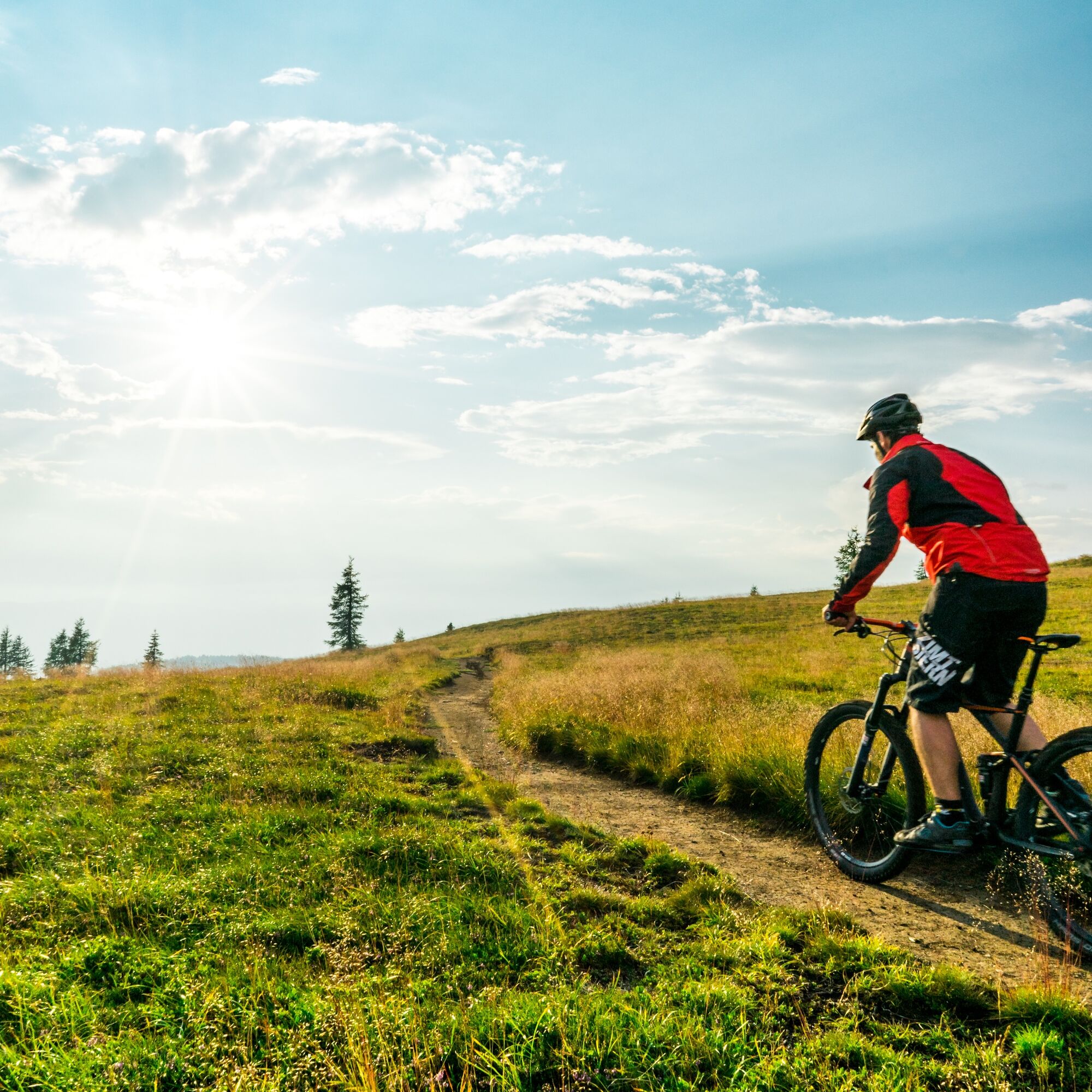
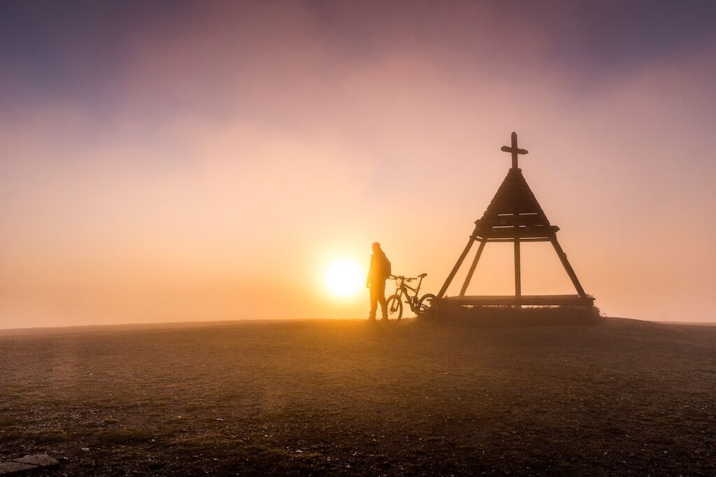
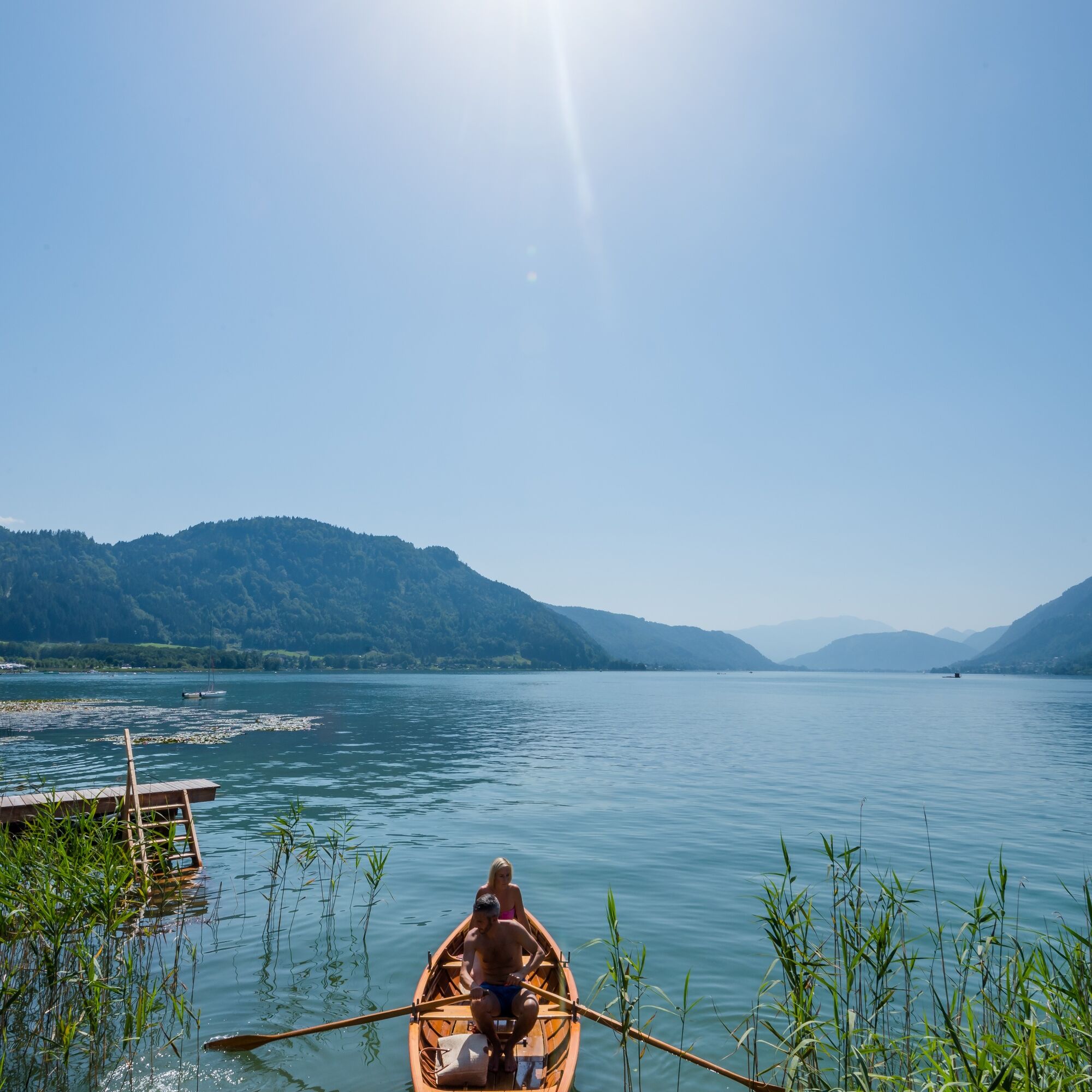
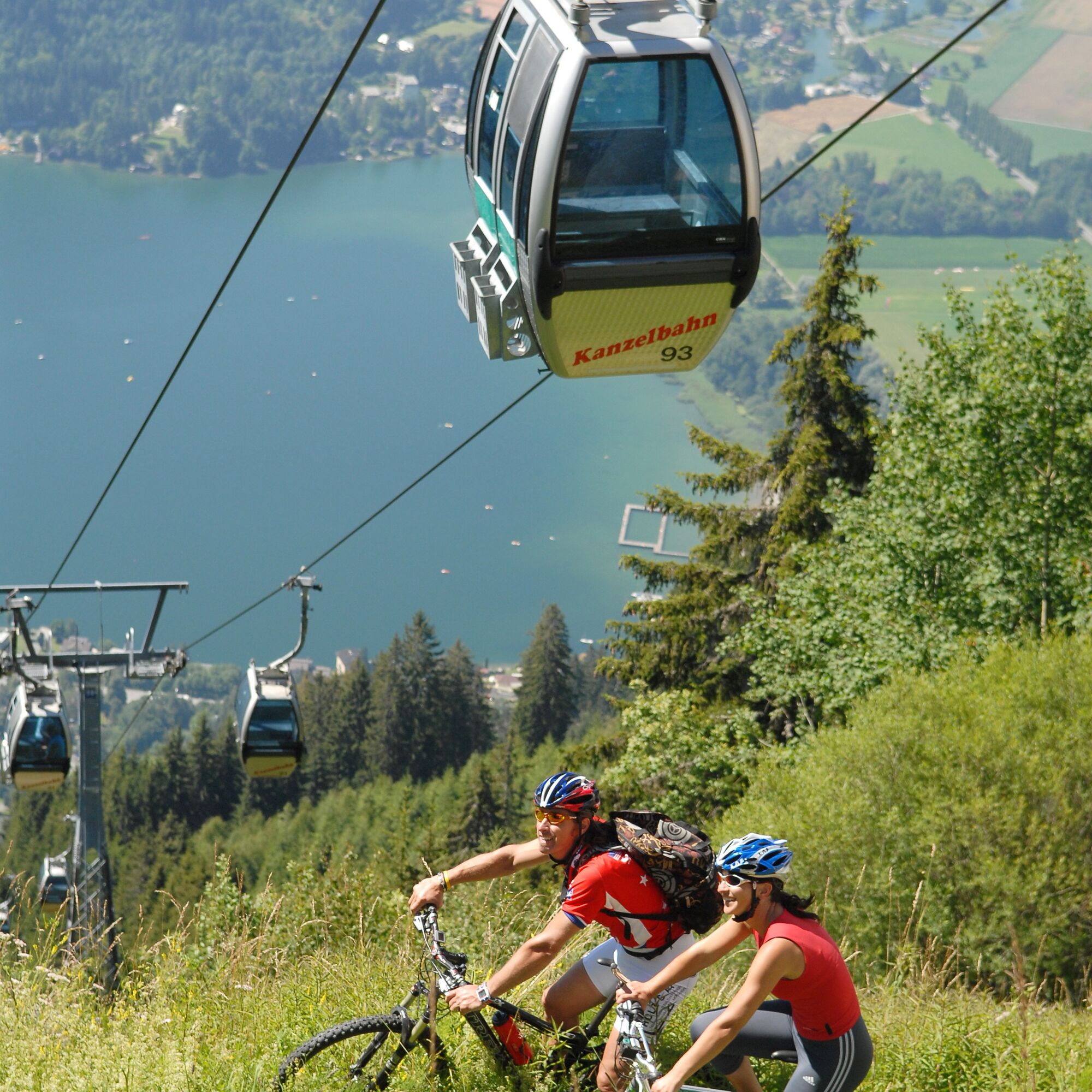

This scenic cycling route with cable car ascent (including bike transport) starts at the foot of the Gerlitzen in Annenheim. After purchasing the ticket for the two sections plus bike transport, you float relaxedly with the gondola and a chairlift of the Gerlitzen cable cars the approximately 1410 scenic meters in elevation to the summit of the Gerlitzen (1911 m) and experience a breathtaking panorama.
When exiting, keep immediately to the left and follow the gravel road to the mountain inn Pacheiner. Just behind the hotel, the descent begins via the Gerlitzen summit road over the Stifterboden to Arriach without significant junctions. So you always stay on the toll road and reach at its end the L46 Teuchern state road, which you follow downhill again to the Millstätter federal road (B98). Here you turn left towards Innere Einöde.
From here, you use the cycle path R2b back towards Lake Ossiach. The cycle path leads through Treffen, later through Neudorf, where you cross the Ossiach street at the Billa and head towards an underpass. Before the underpass, turn right and continue to follow the cycle path towards the outflow of Lake Ossiach. Shortly before the bridge, go along St. Andräer street again towards the north. St. Andräer street is crossed again at the campsite. After a few minutes, you reach the starting point of the route again on the shore of Lake Ossiach.
Ano
Terrain-suitable bicycle with checked brakes, bike helmet, casual clothing, wind jacket, sunglasses, drink, etc.
All mountain bikers are requested to use only the officially approved roads, in this case the Gerlitzen summit road to Arriach for the descent! According to path law, the mountain biker is not considered a recreational user because he rides paths and is therefore exempt from path freedom (this applies to hiking trails but also forest roads).
Controlled speed during the descent and consideration for other traffic participants. The road traffic regulations and the rules of mountain bike fair play also apply here!
You can reach Annenheim by car via the A10 exit Treffen-Ossiacher See or coming from Villach via the B83 (Ossiacher Zeile) and at the Ossiacher See junction via the B94 towards Ossiacher See Annenheim.
Annenheim can be reached regularly by bus starting from Villach main station.
At the valley station of the Gerlitzen cable cars, there are sufficient free parking spaces available.
2
These two routes are also available nearby!
Arriach - Carinthian center points
Hiking trail Arriach-restaurant

Webové kamery z prohlídky
Gerlitzen Gipfel
Gerlitzen Gipfel
Gerlitzen Gipfel
Gerlitzen Gipfel
Annenheim/Ossiacher See
Landskron
Villach - Friedensbrücke
Gerlitzen Gipfel
Bergstation Pöllingerbahn 1.660m (250hm/ca. 45min leicht wanderbar zum Gipfel)
Villach
Hotel SeeRose
Arriach
Ossiacherberg
Bodensdorf am Ossiacher See
Bodensdorf am Ossiacher See
Získejte přehled Vždy živě na místě s více než 9 500 webkamerami. bergfex Jako uživatel Pro si nyní můžete zobrazit odpovídající webové kamery pro mnoho prohlídek v aplikaci prohlídky z. Můžete si tak přímo prohlédnout aktuální podmínky. Oblíbené prohlídky v okolí
- 4,8
4 Huts route
středníTuristika 8,96 km - 4,4
Finsterbach Waterfalls - Circular route
středníTuristika 3,87 km - 4,5
Lake circular trail
světloNordic Walking 9,85 km - 4,1
Slow Trail Bleistätter Moor (Variant A)
světloTuristika 7,22 km - 5,0
Amberg: Palnock 1901m, Schwarzsee, Rundstrecke
středníTuristika 7,94 km - 4,1
Schwarzsee circular hiking trail
středníTuristika 7,79 km - 4,9
Skitour: FIS K70, Auf Franz Klammers Spuren
středníLyžařská trasa 11,3 km - 3,9
Lake Ossiacher See cycle path – R2 & R2A
středníJízda na kole 28,2 km - 4,5
Wasserfälle
středníTuristika 2,48 km - 4,1
Gerlitzen - Hüttersteig
heavyTuristika 6,80 km
Pěší turistika a stopování


Nenechte si ujít nabídky a inspiraci pro vaši příští dovolenou
Vaše e-mailová adresa byl přidán do poštovního seznamu.





