







Mountain bike route from the Hubertus Chapel to the Wolayersee
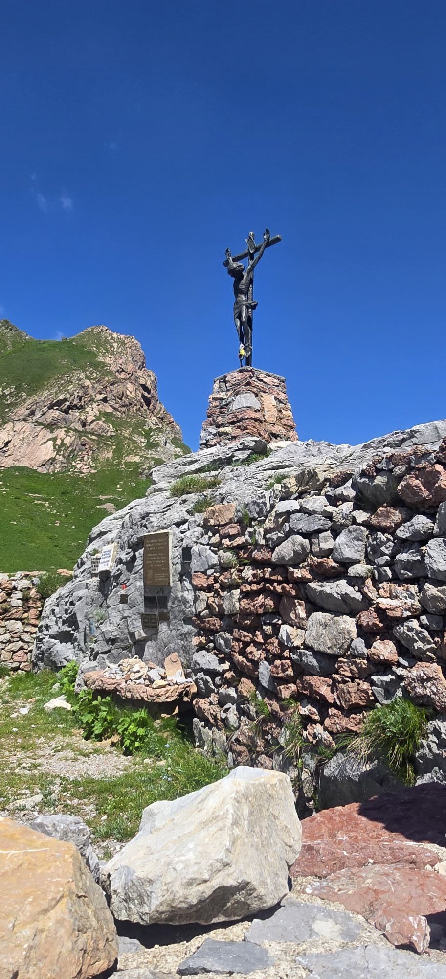
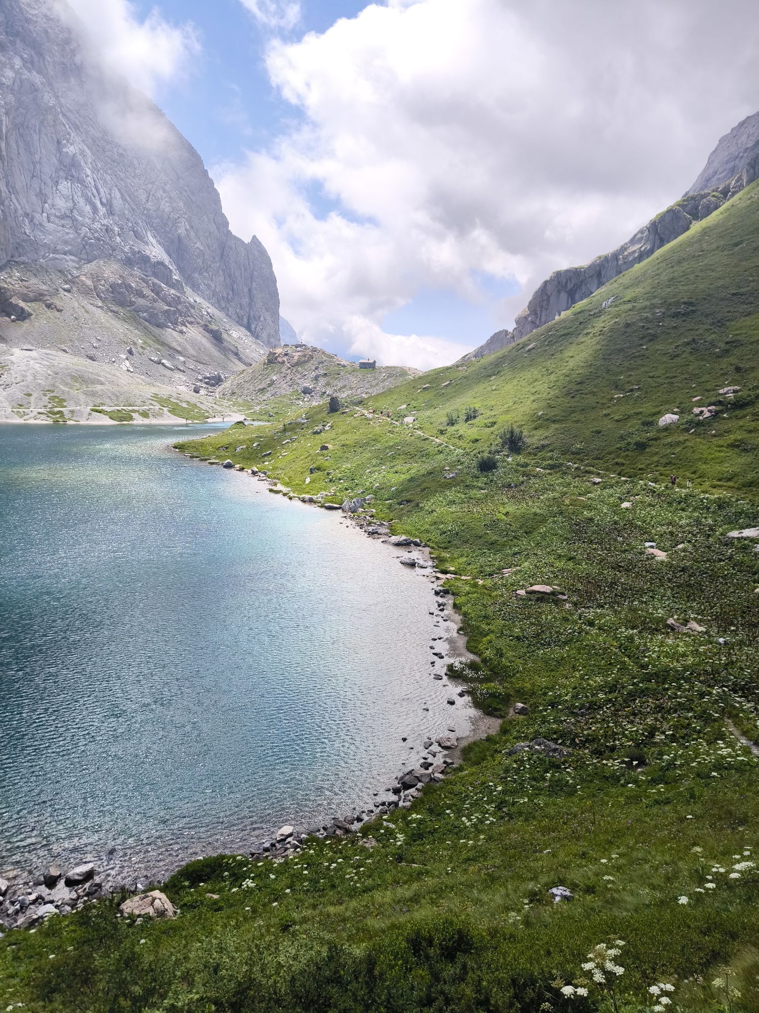
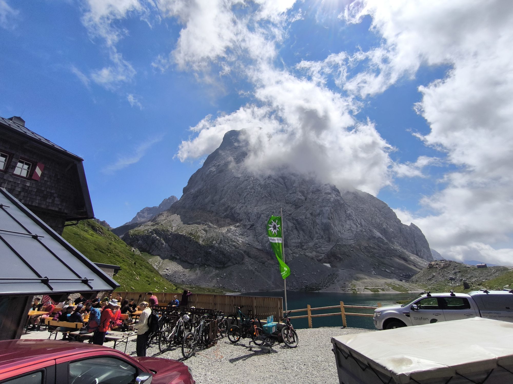



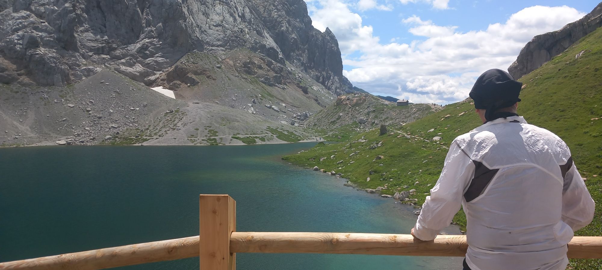
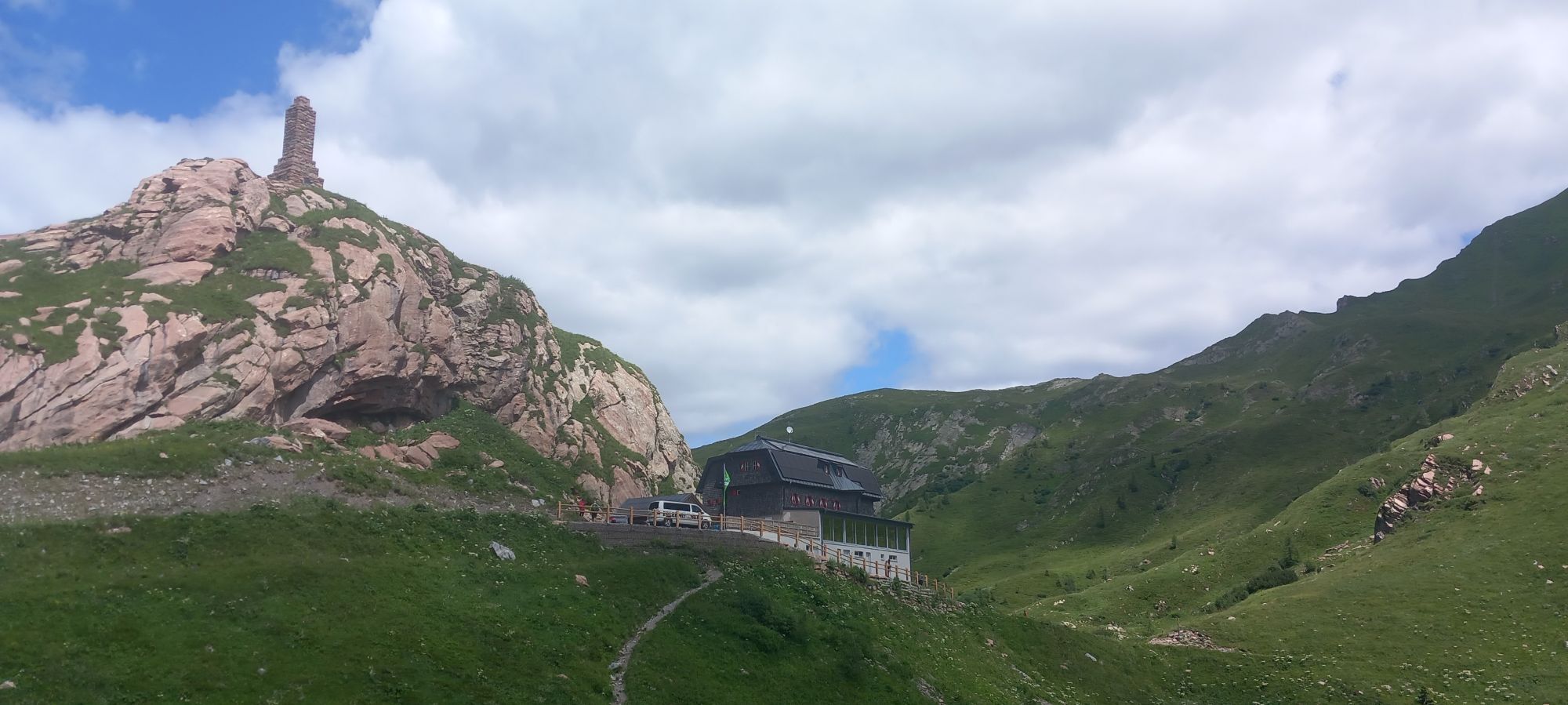

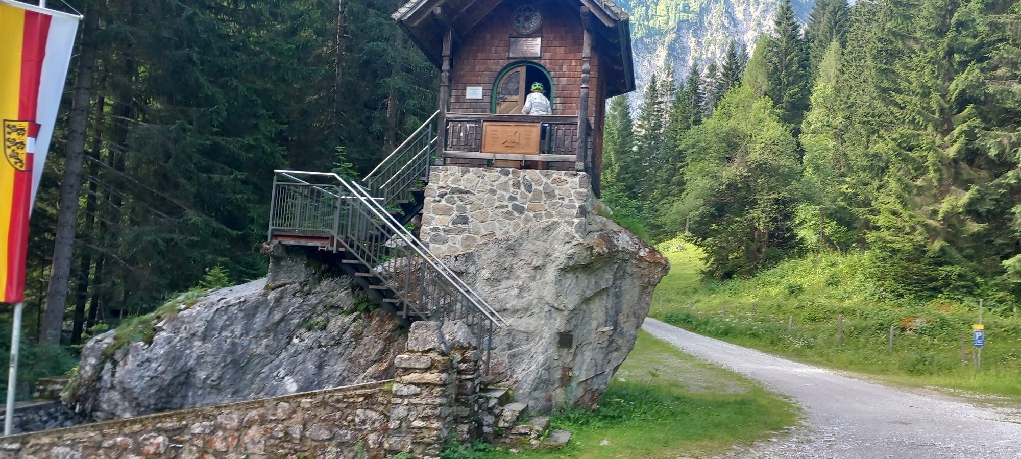
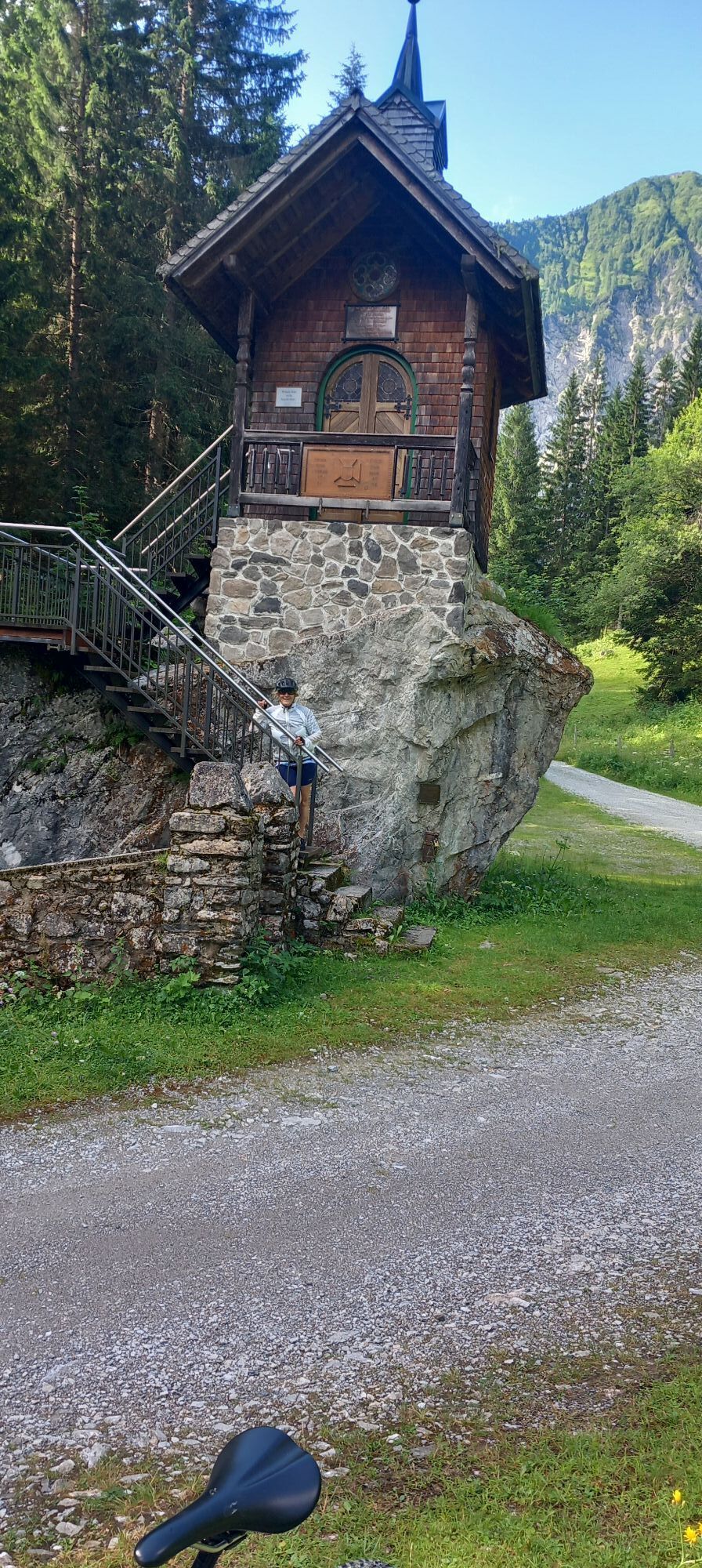


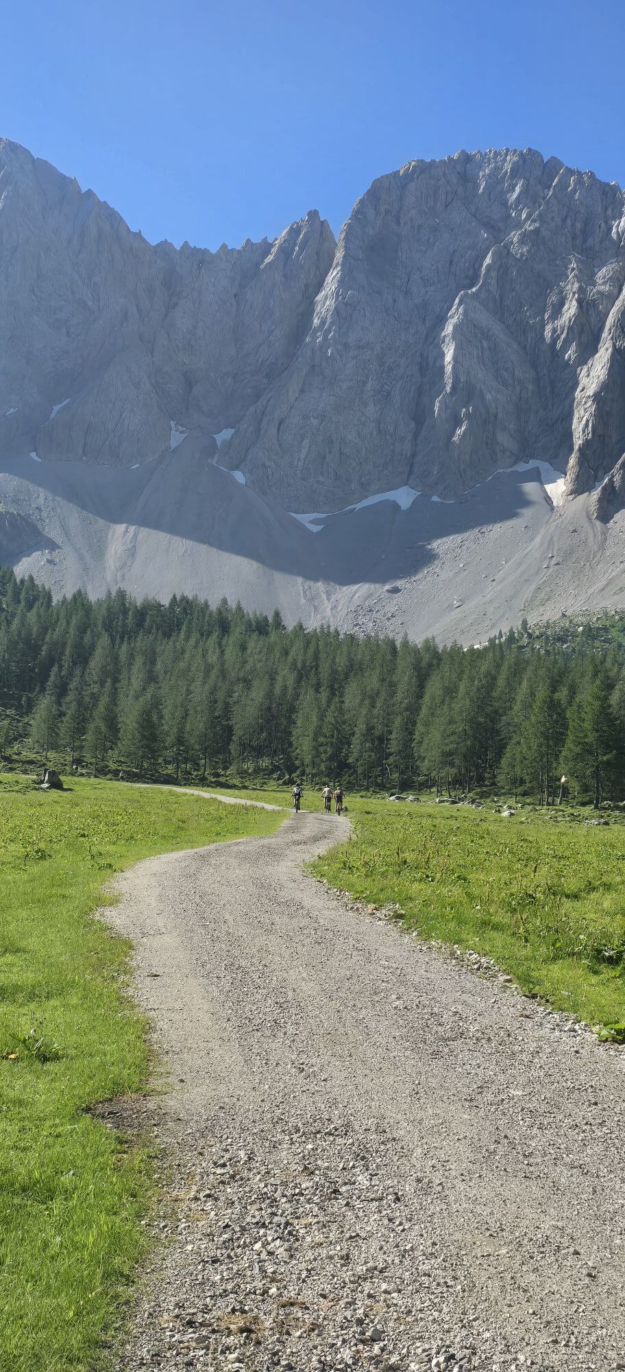

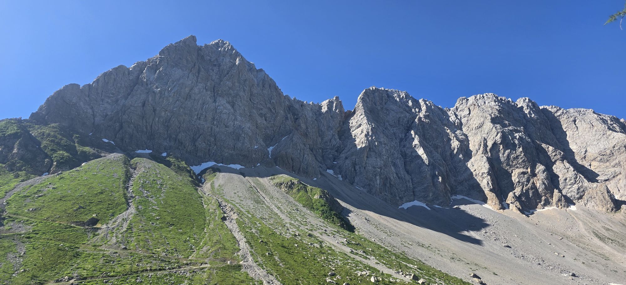
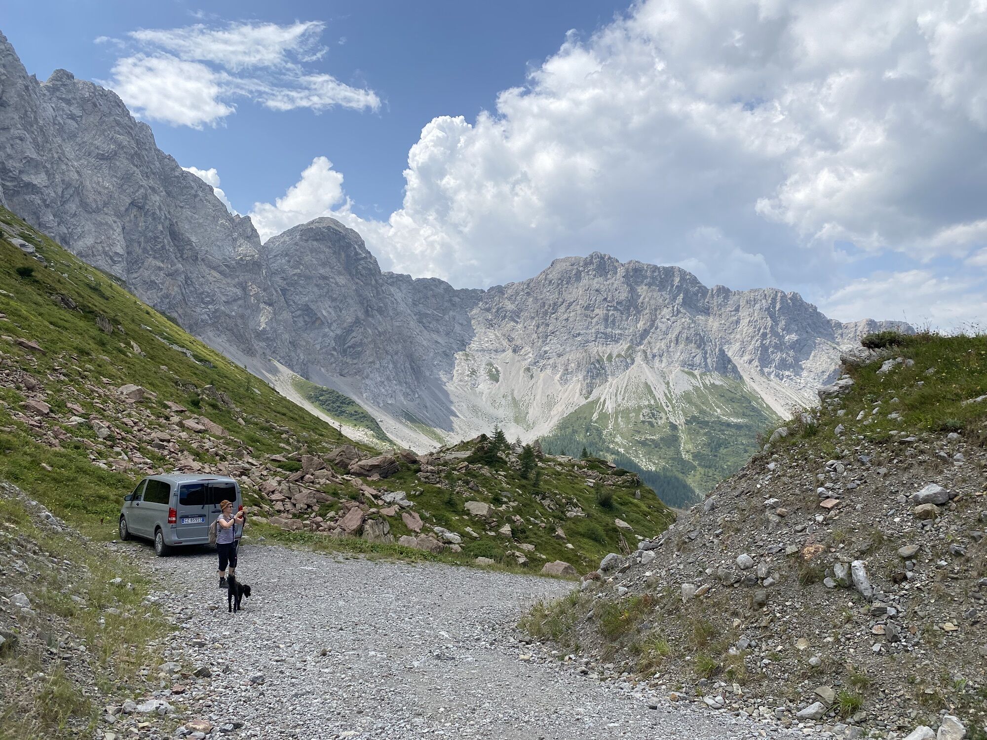
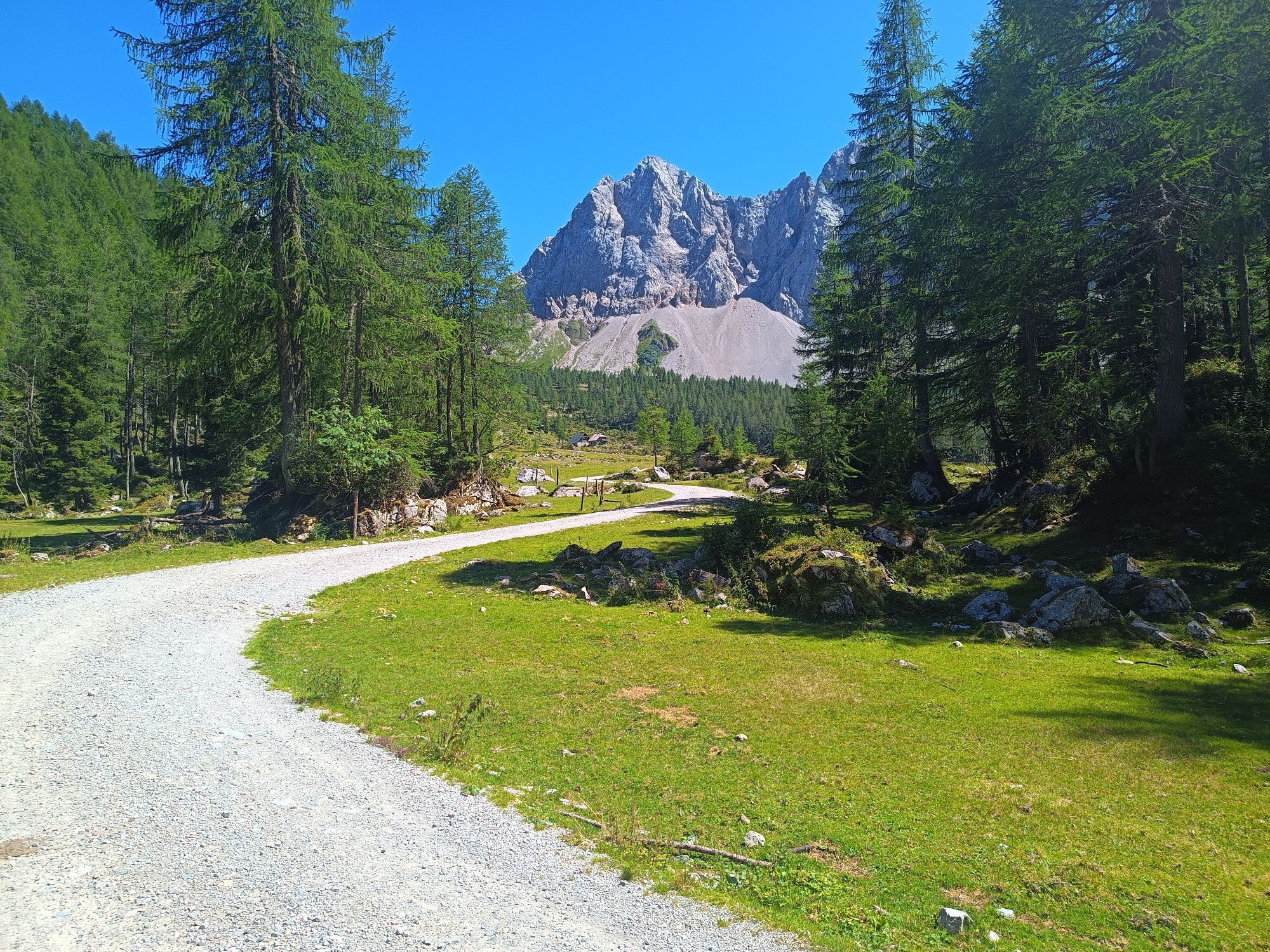
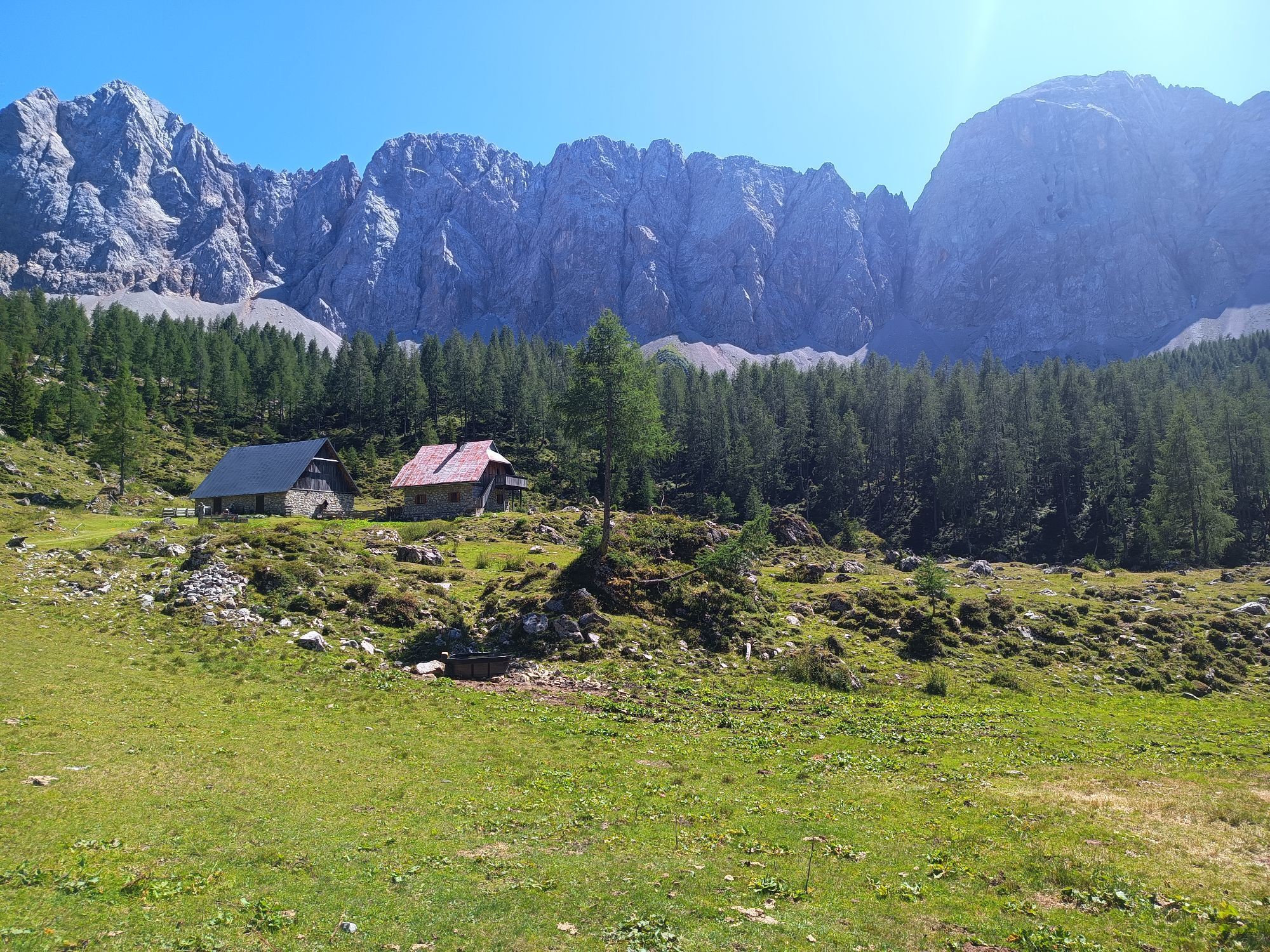
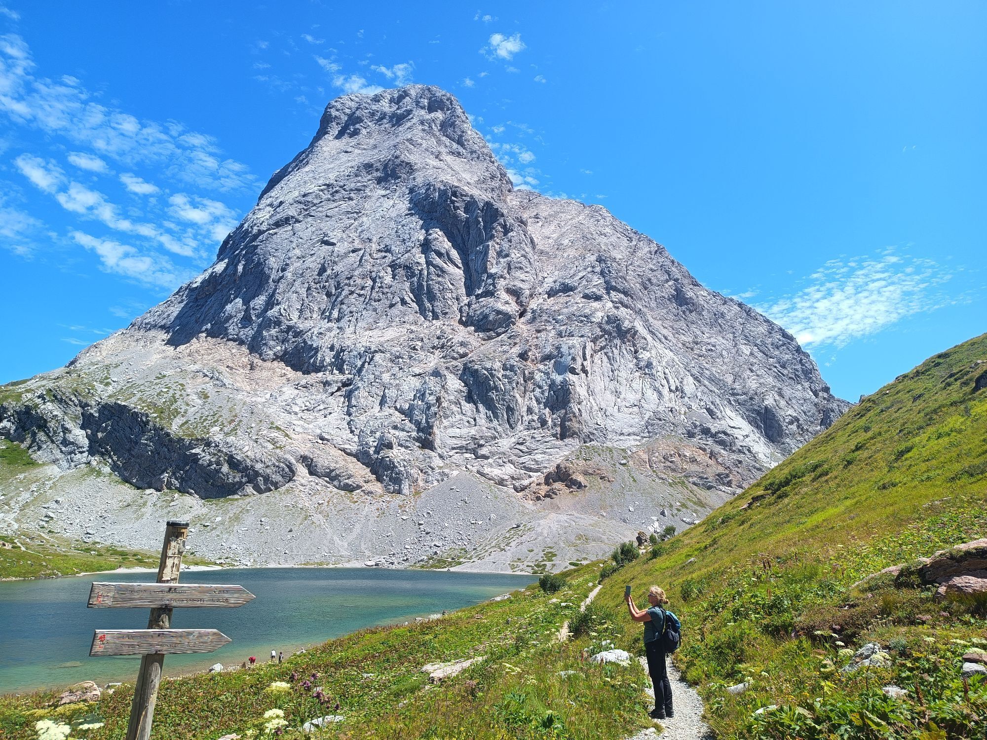
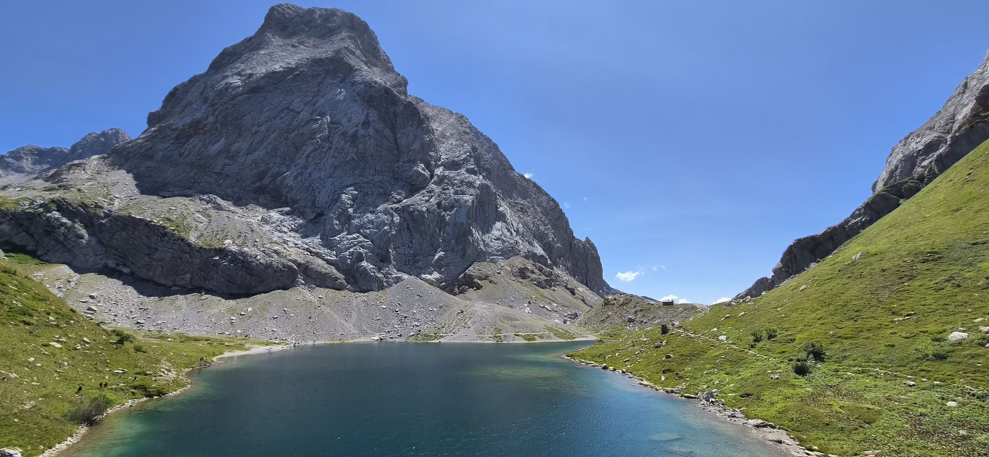
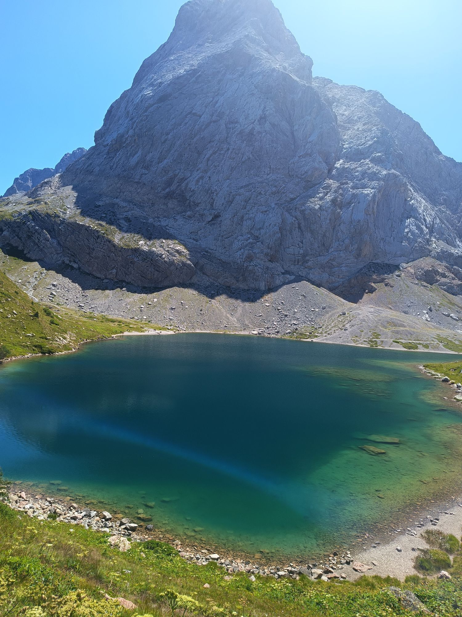
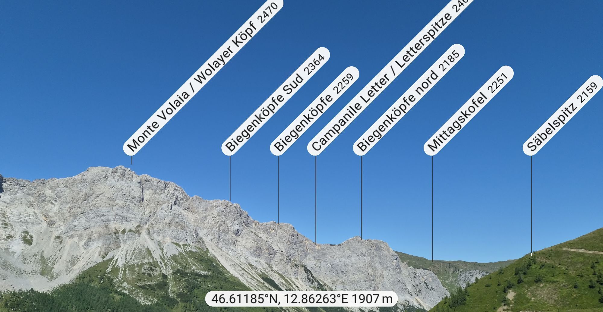
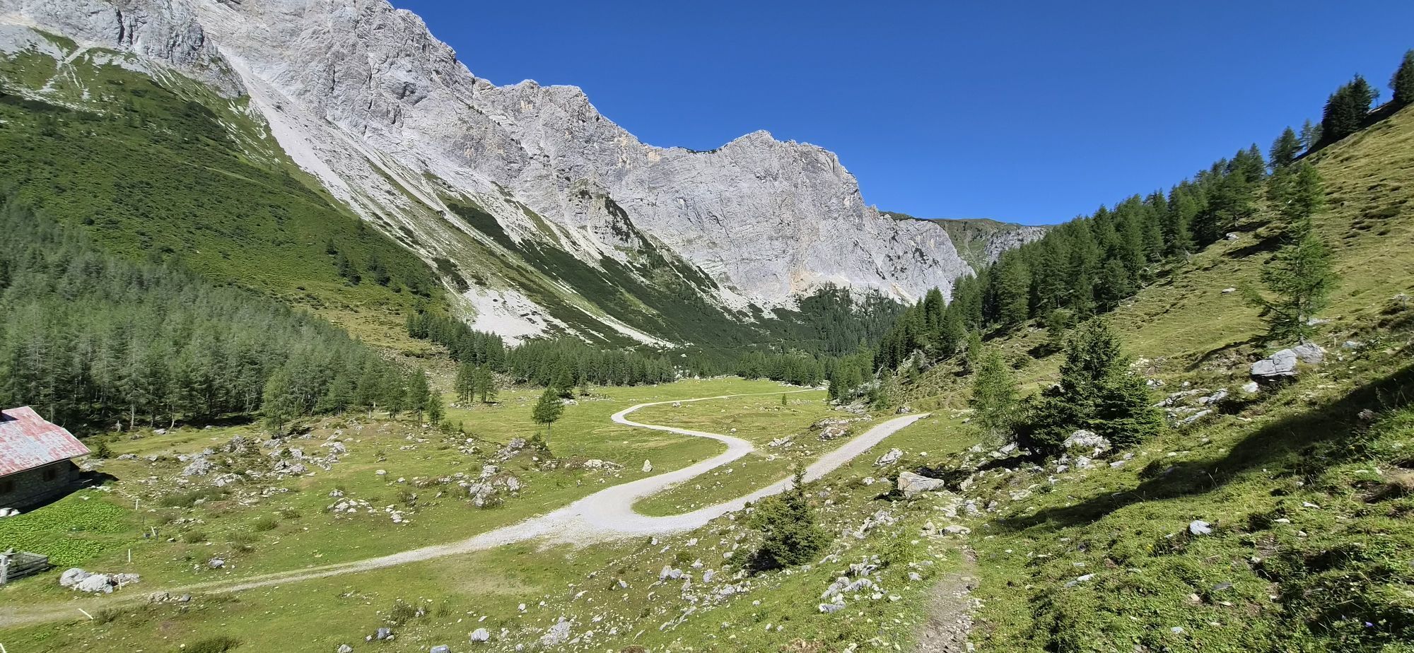
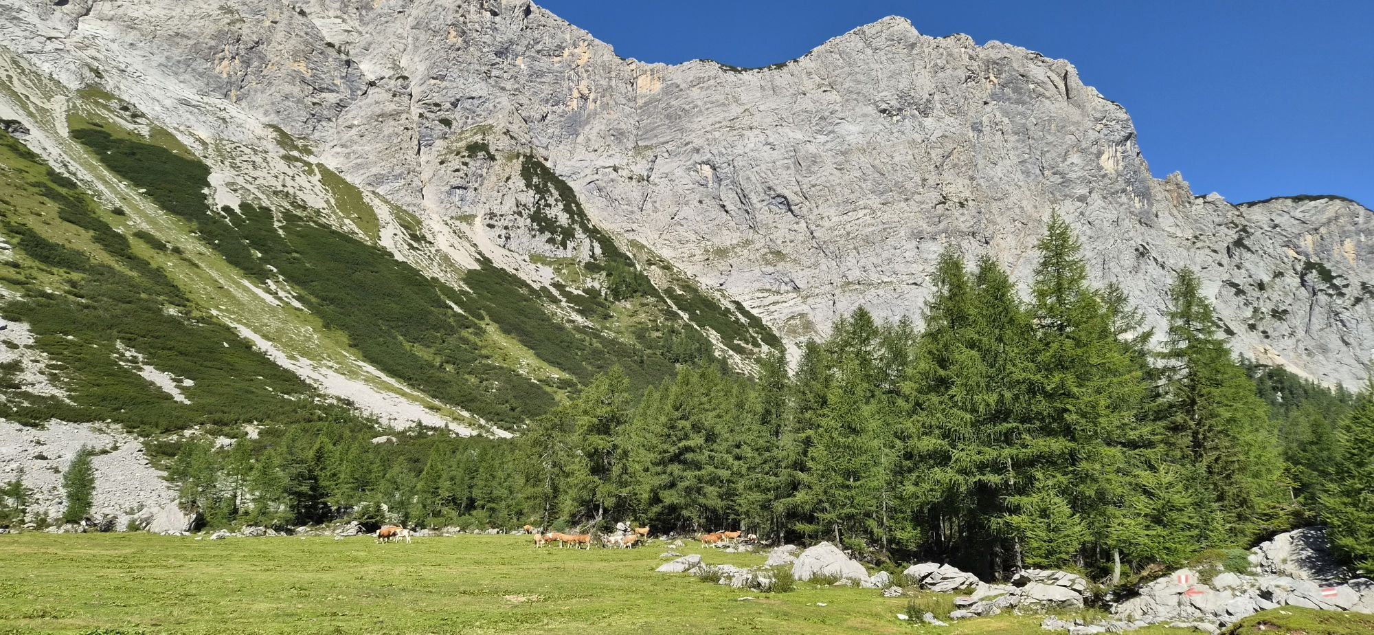
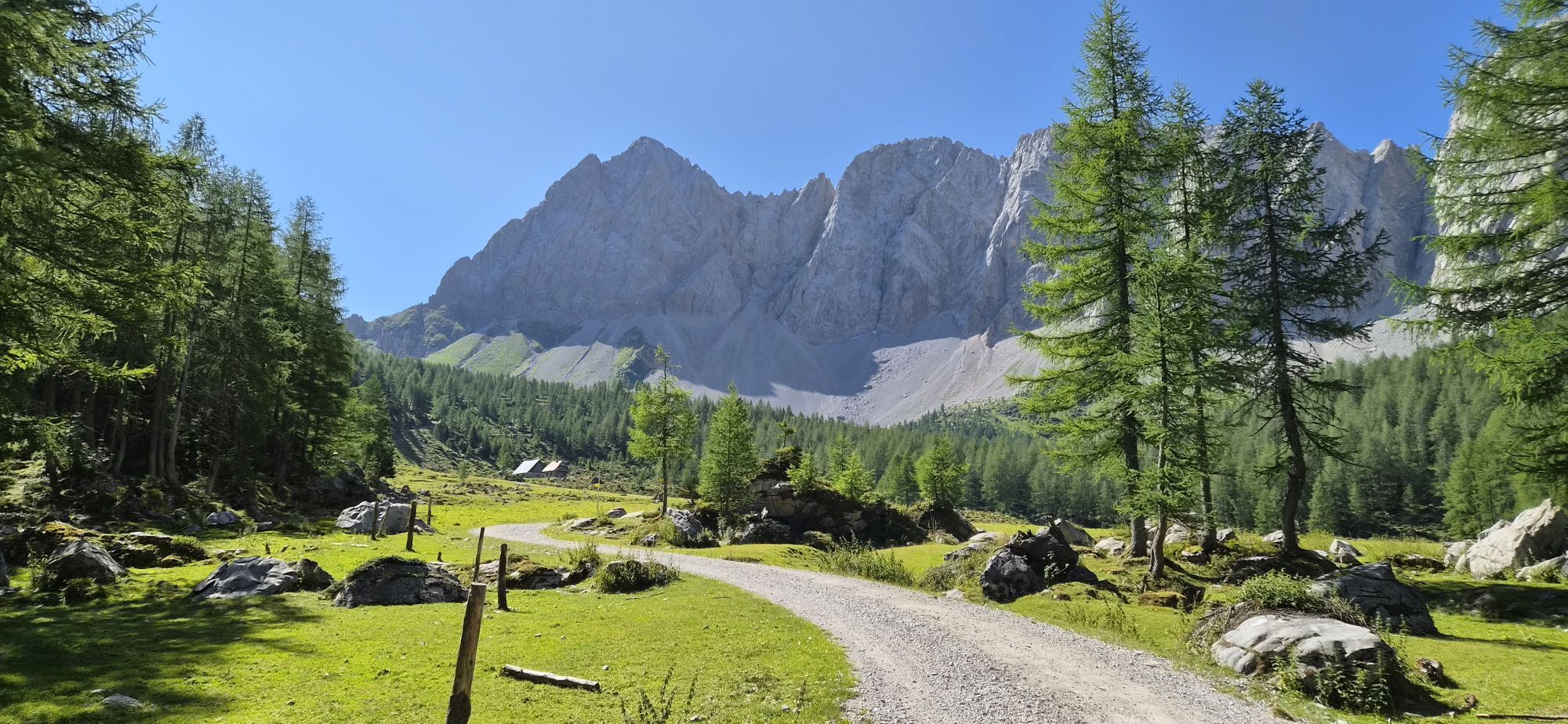
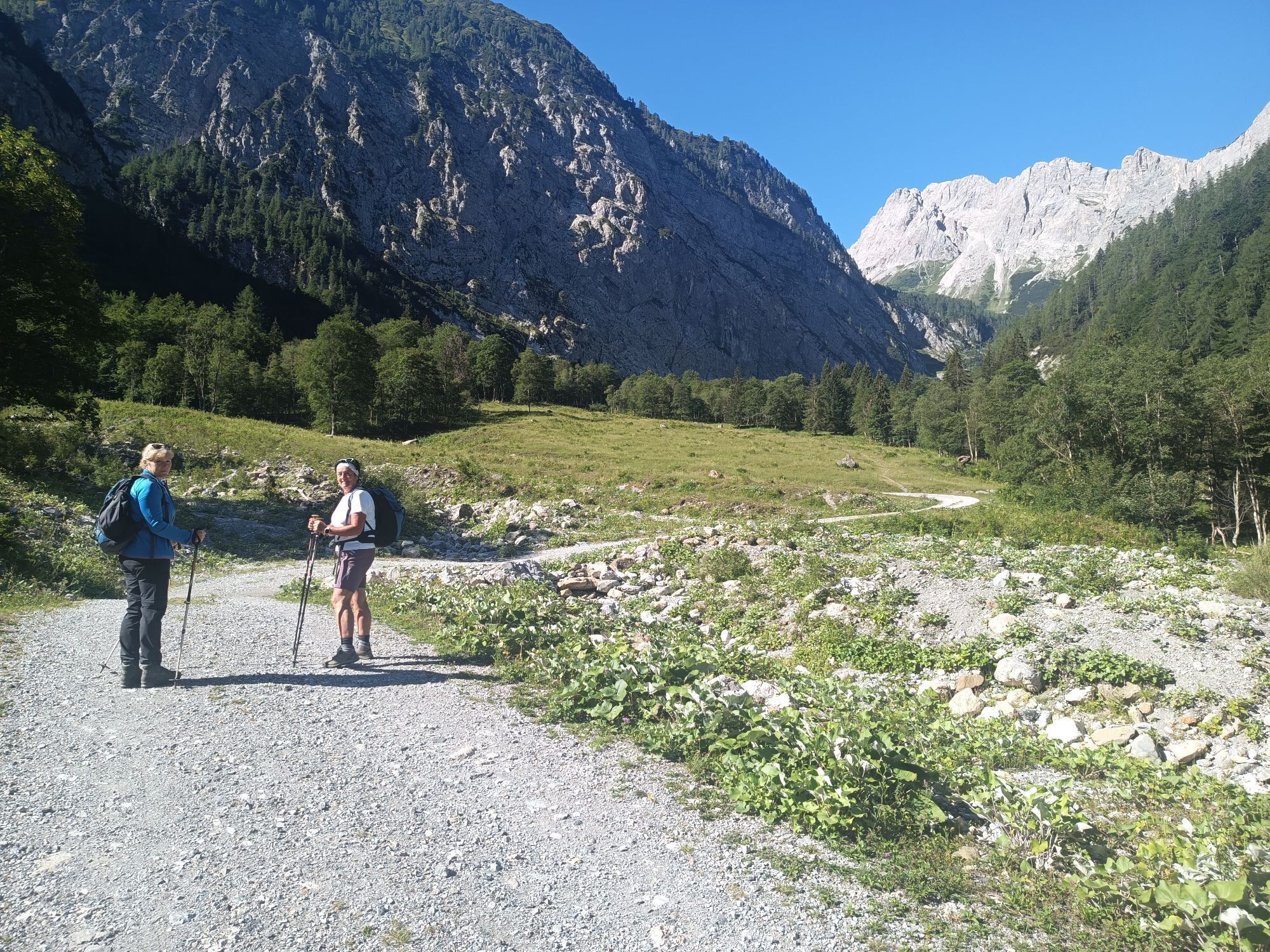
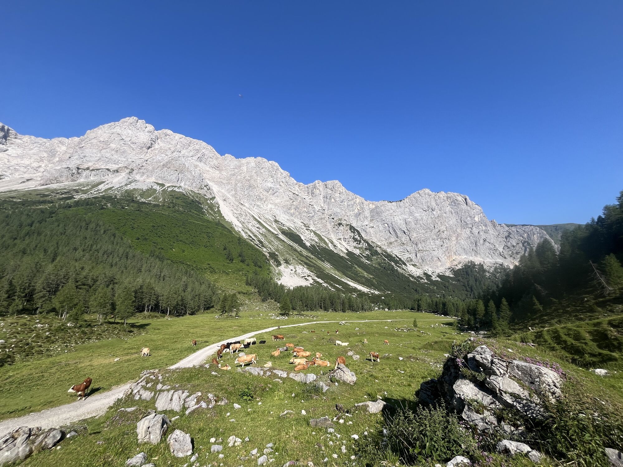
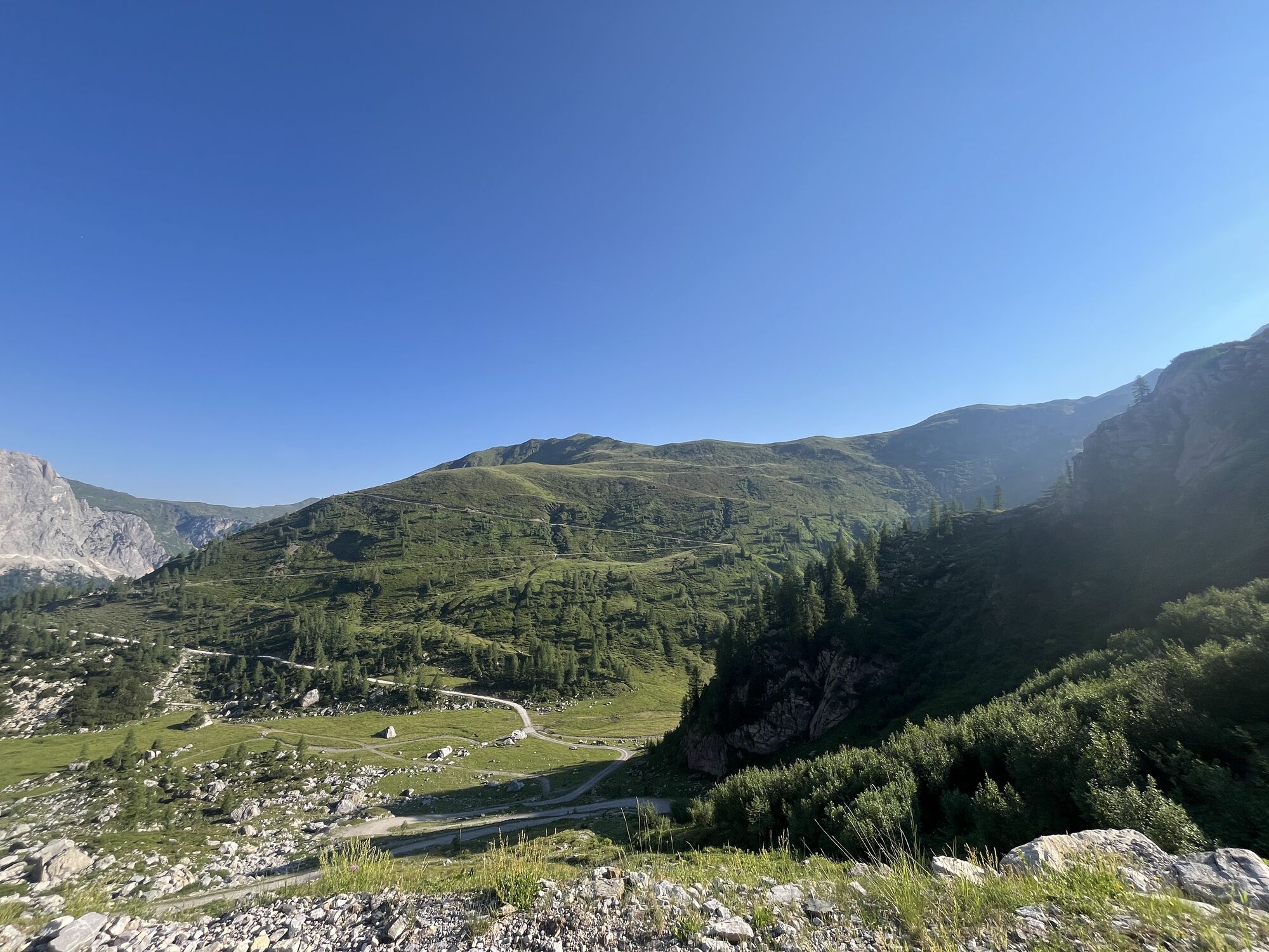
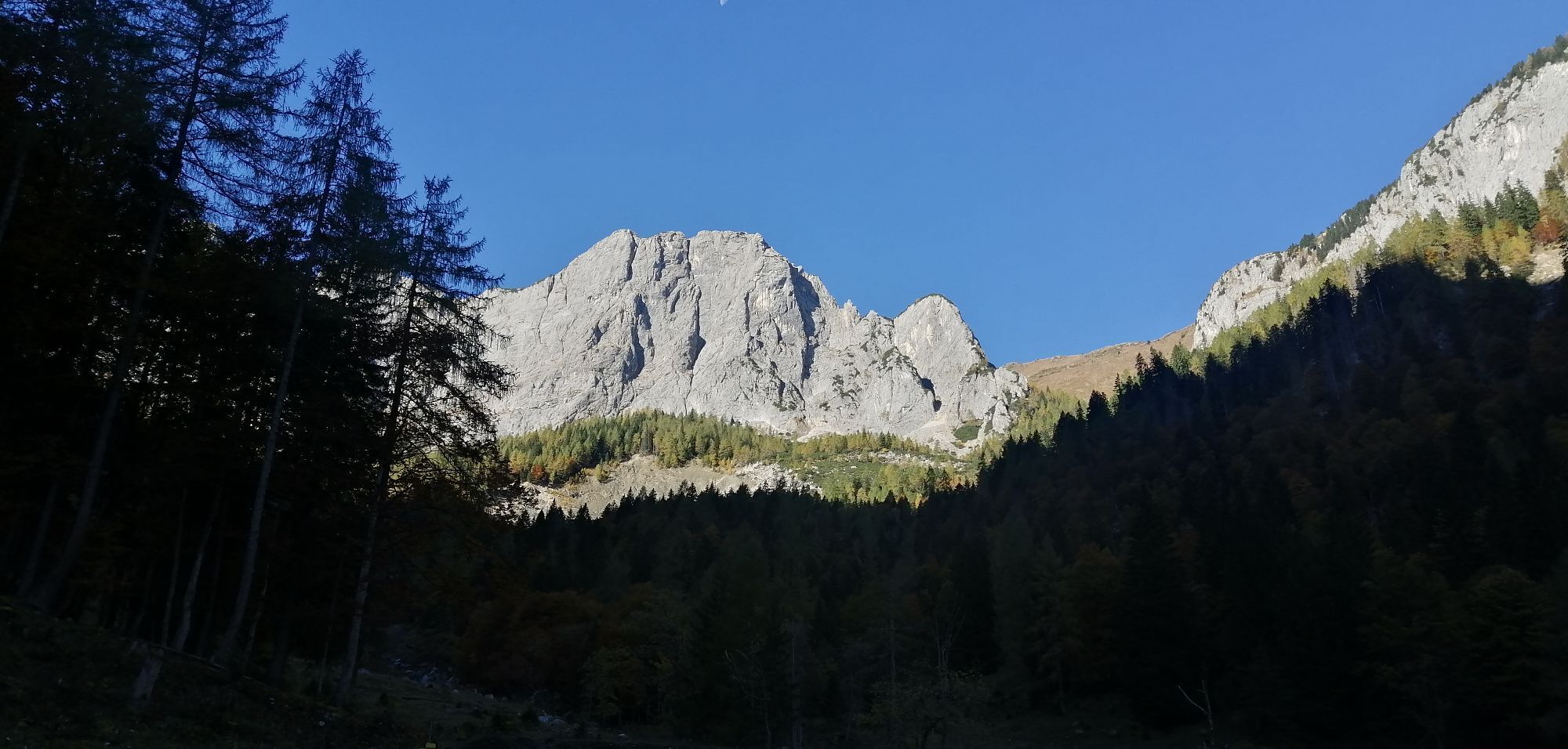
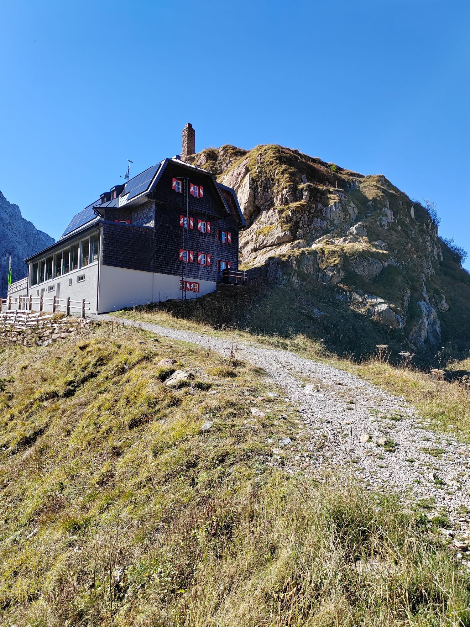

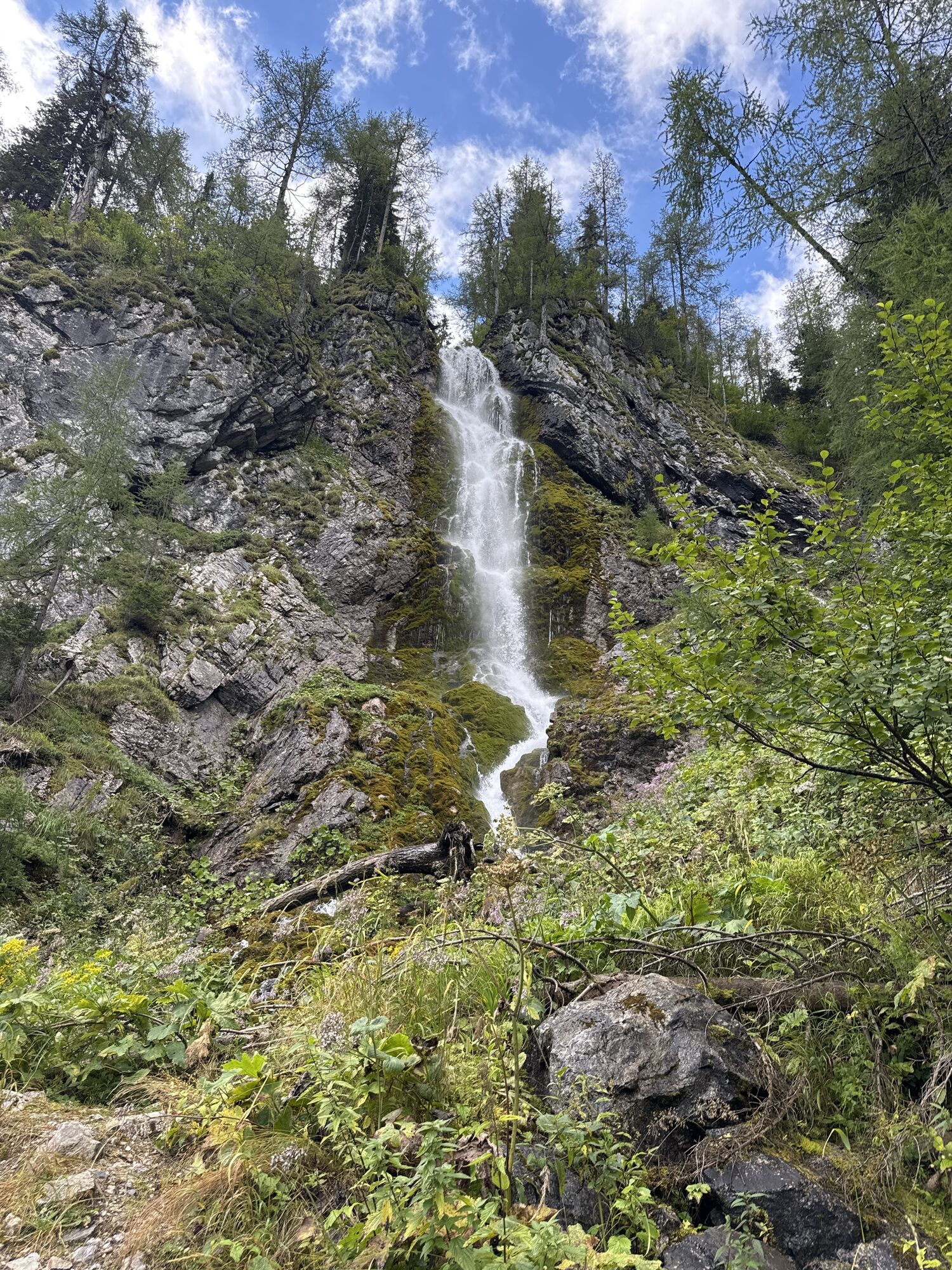
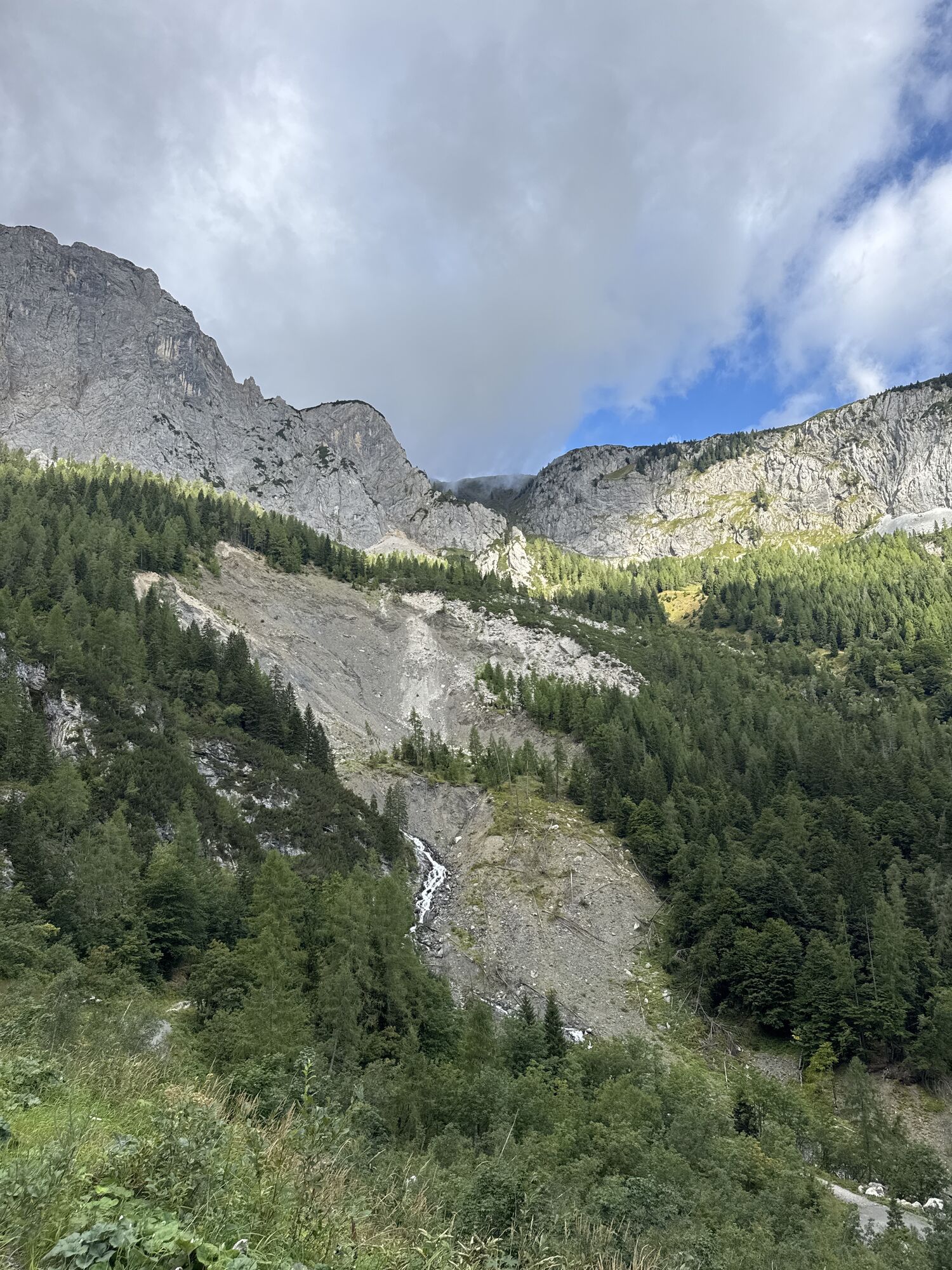
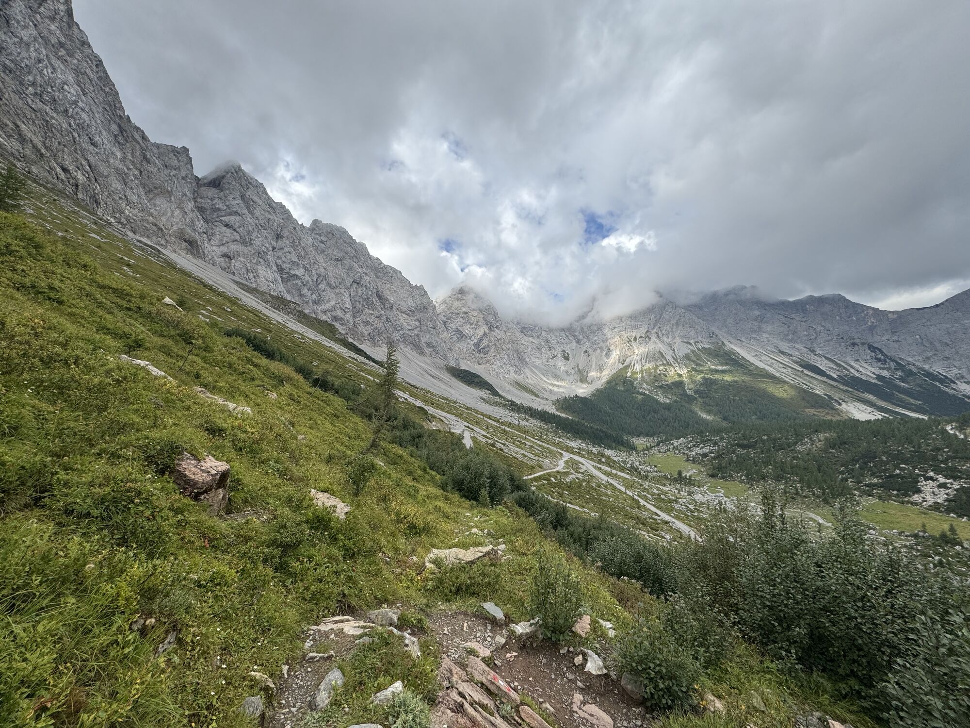
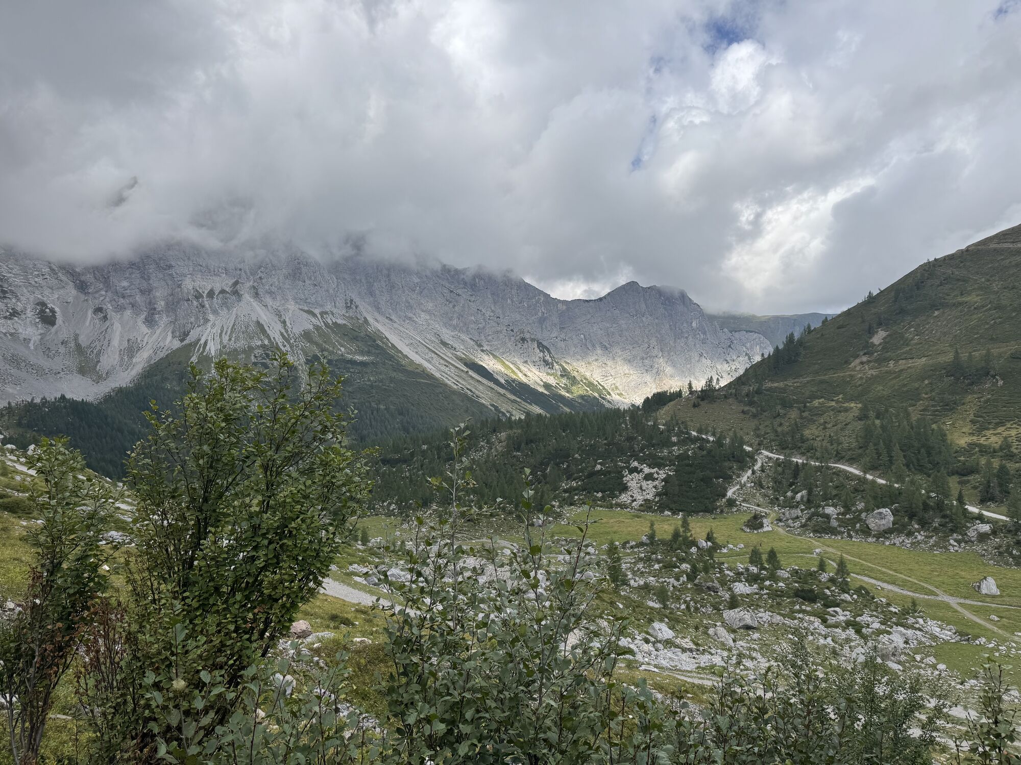
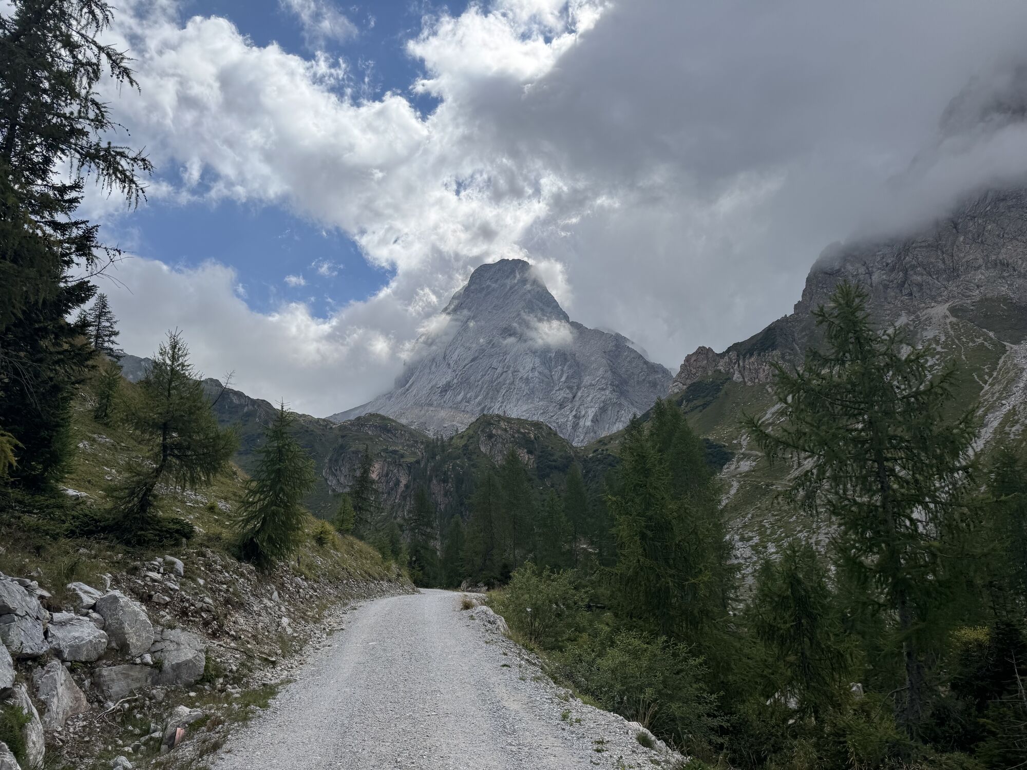
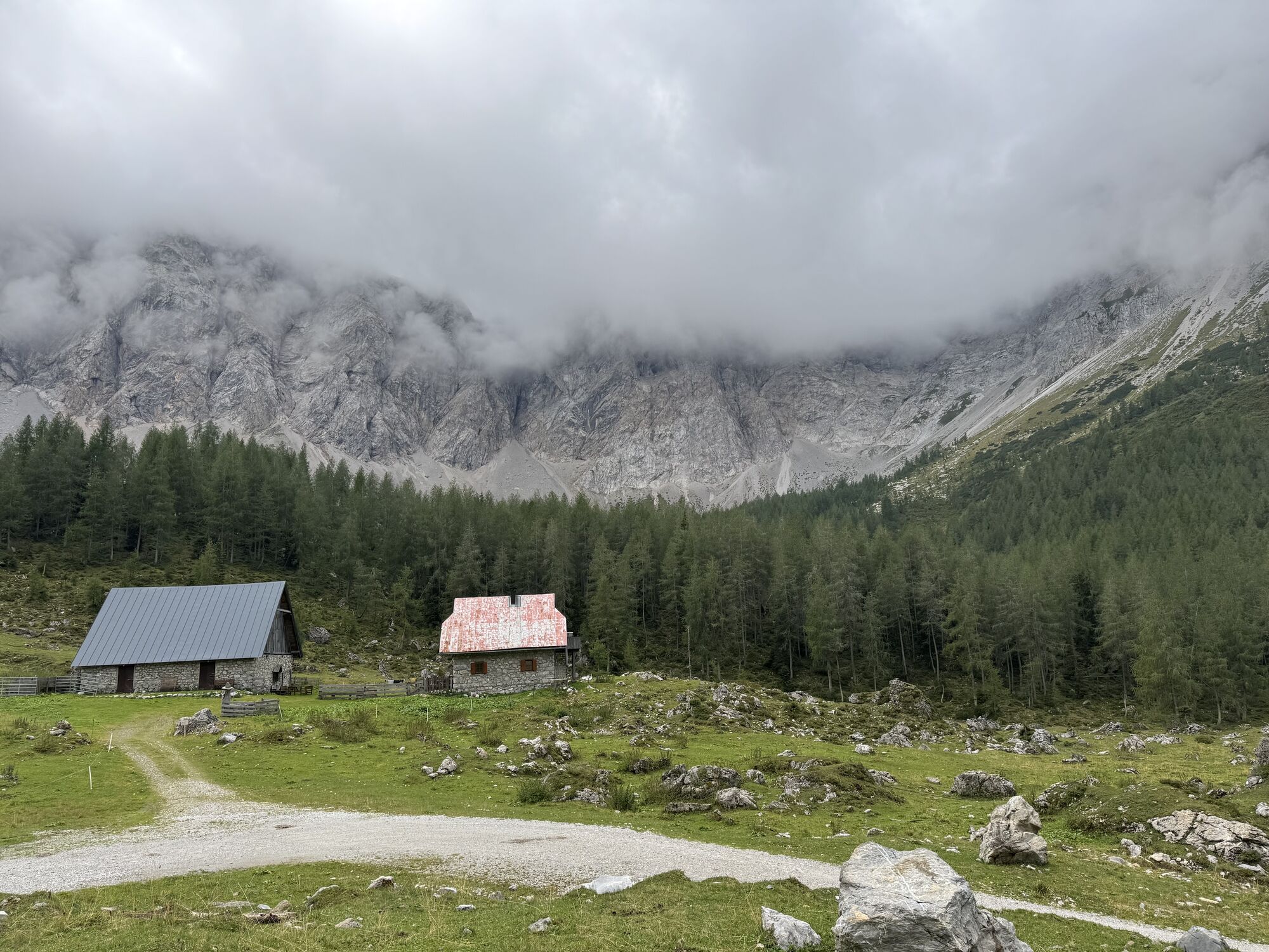
Cycle to one of the most beautiful destinations in the entire region - the Wolayersee
Attention: Please check the current path and weather situation before each route!
By car, drive to Birnbaum and then...
Cycle to one of the most beautiful destinations in the entire region - the Wolayersee
Attention: Please check the current path and weather situation before each route!
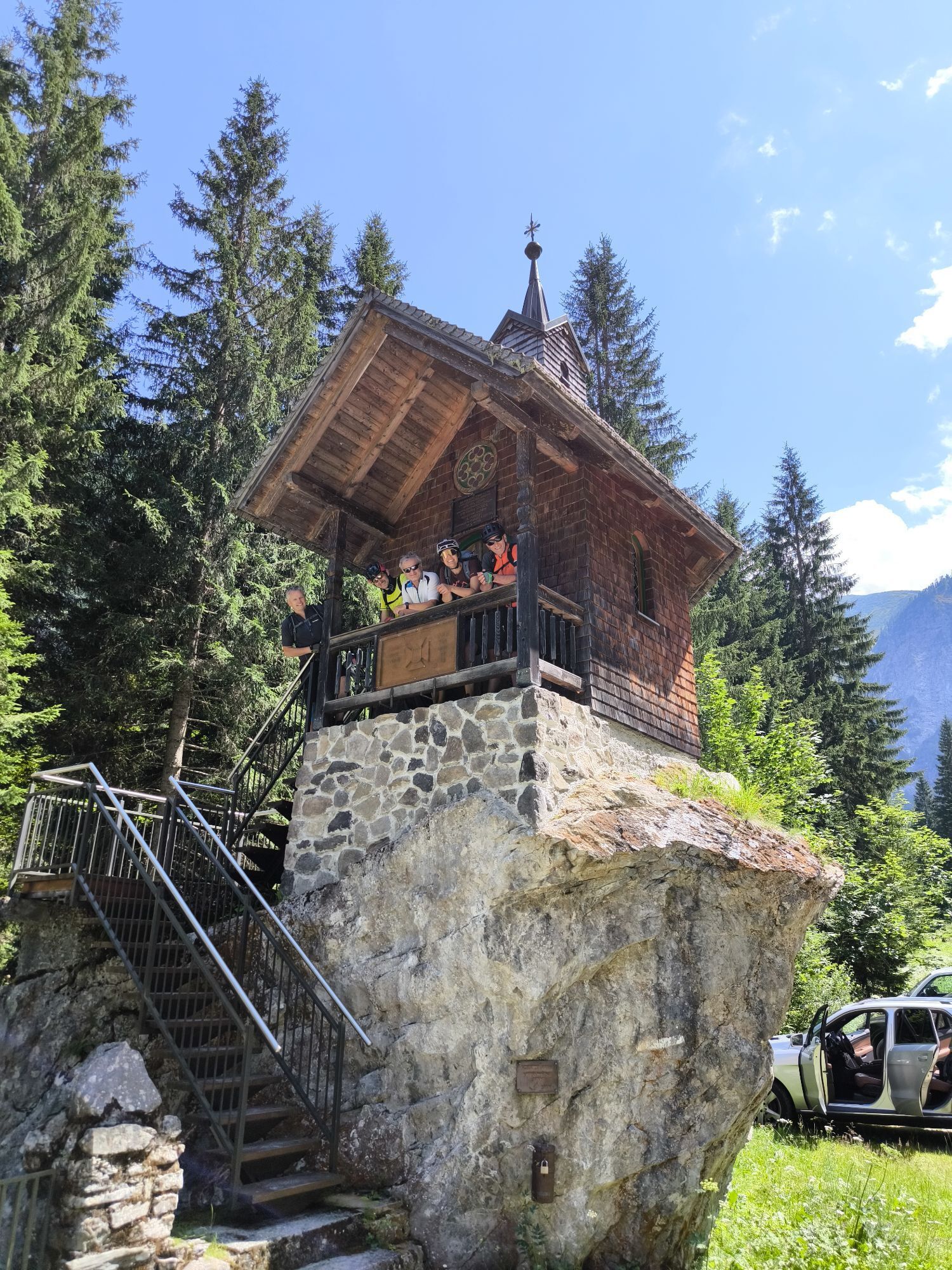
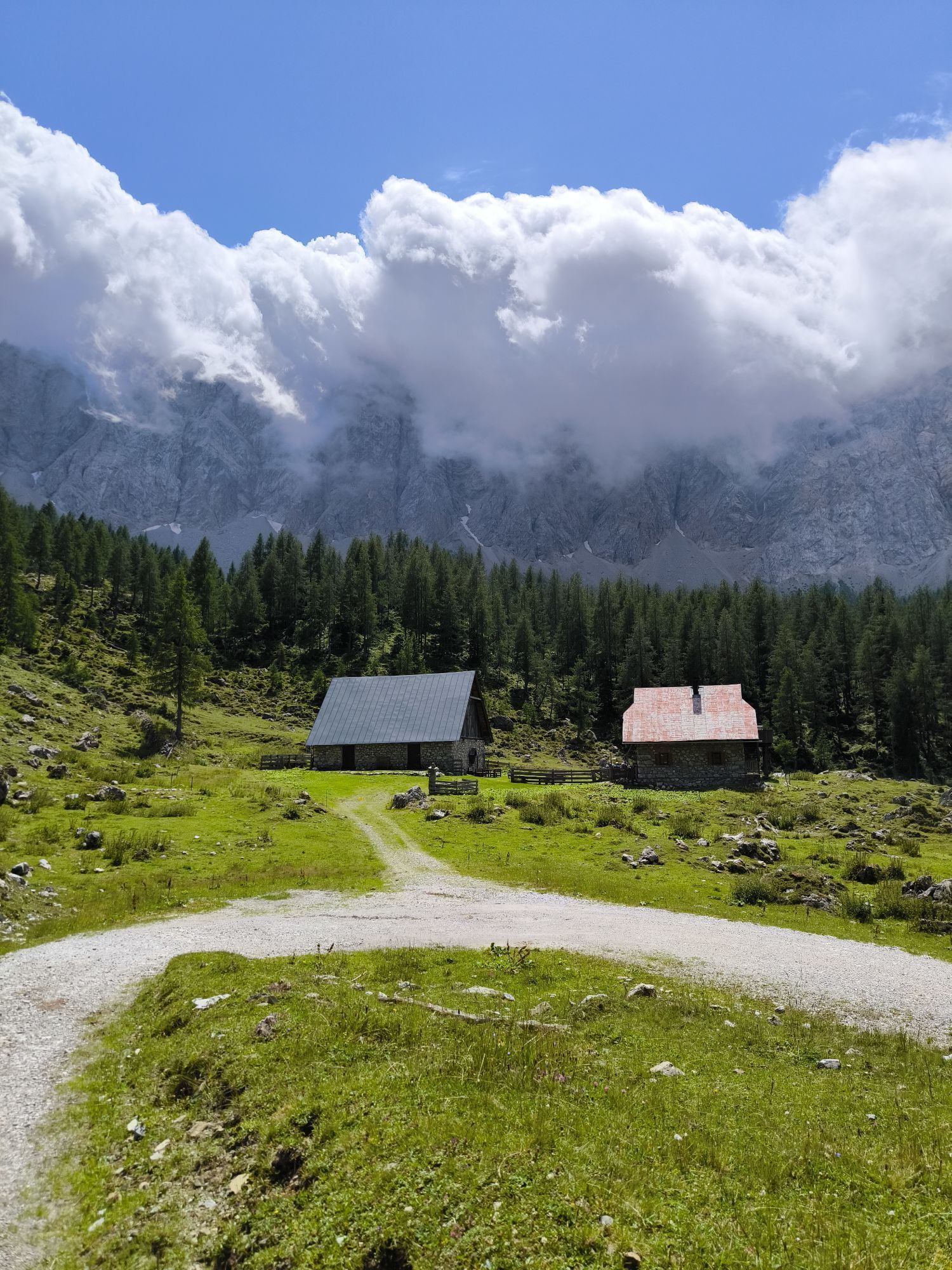
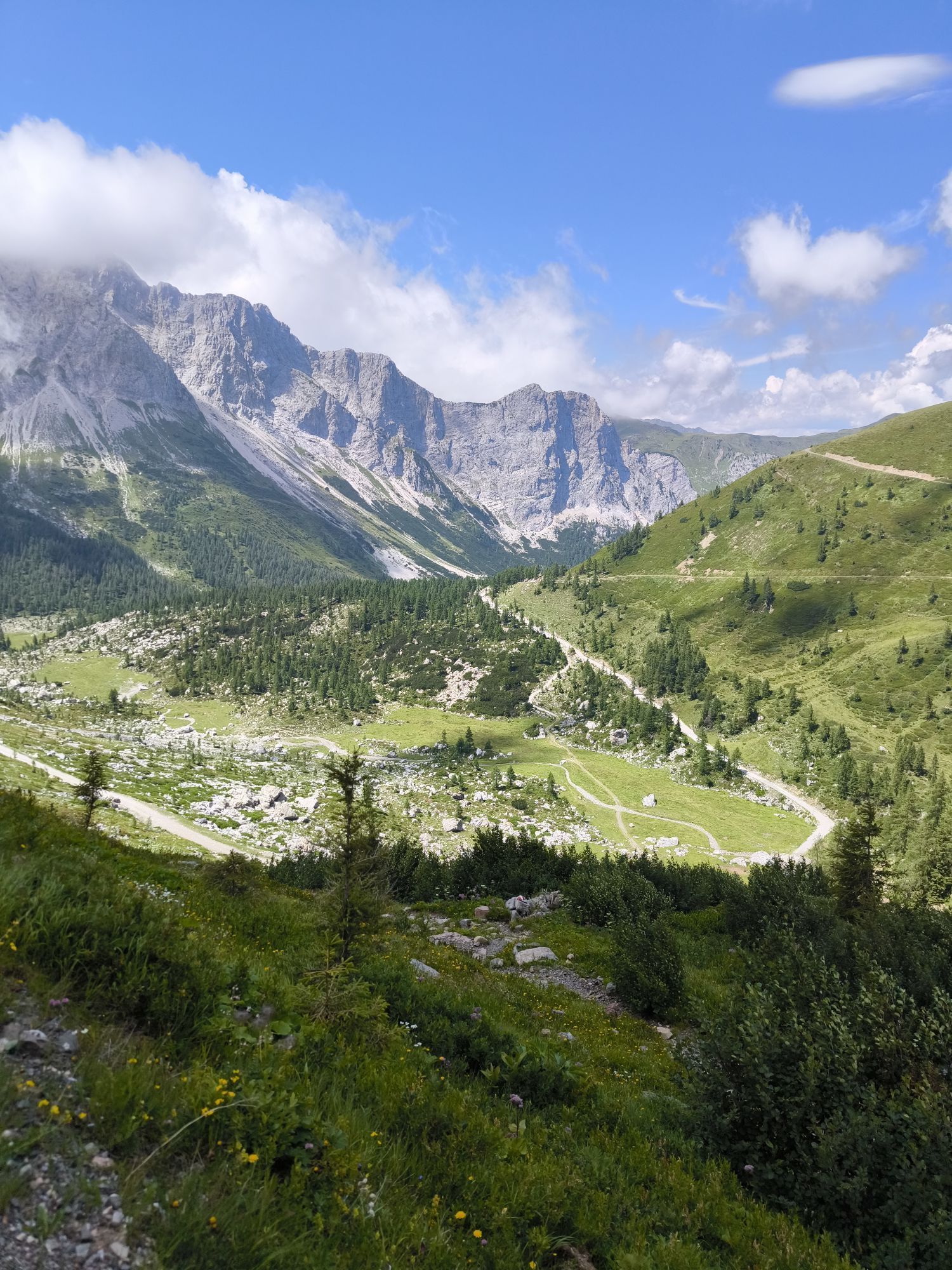
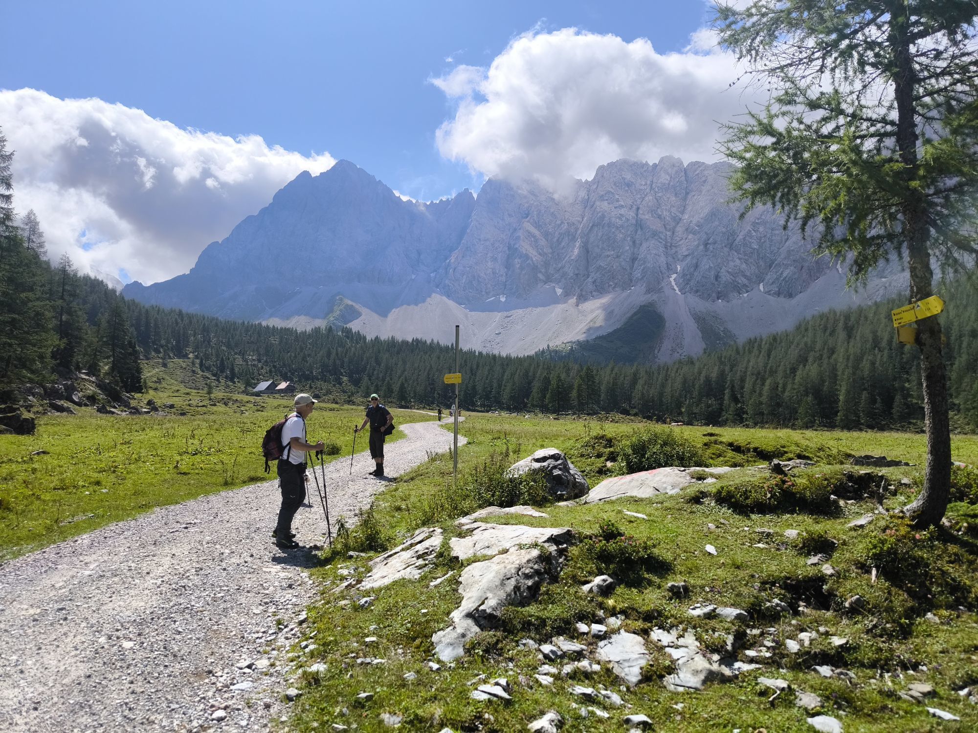
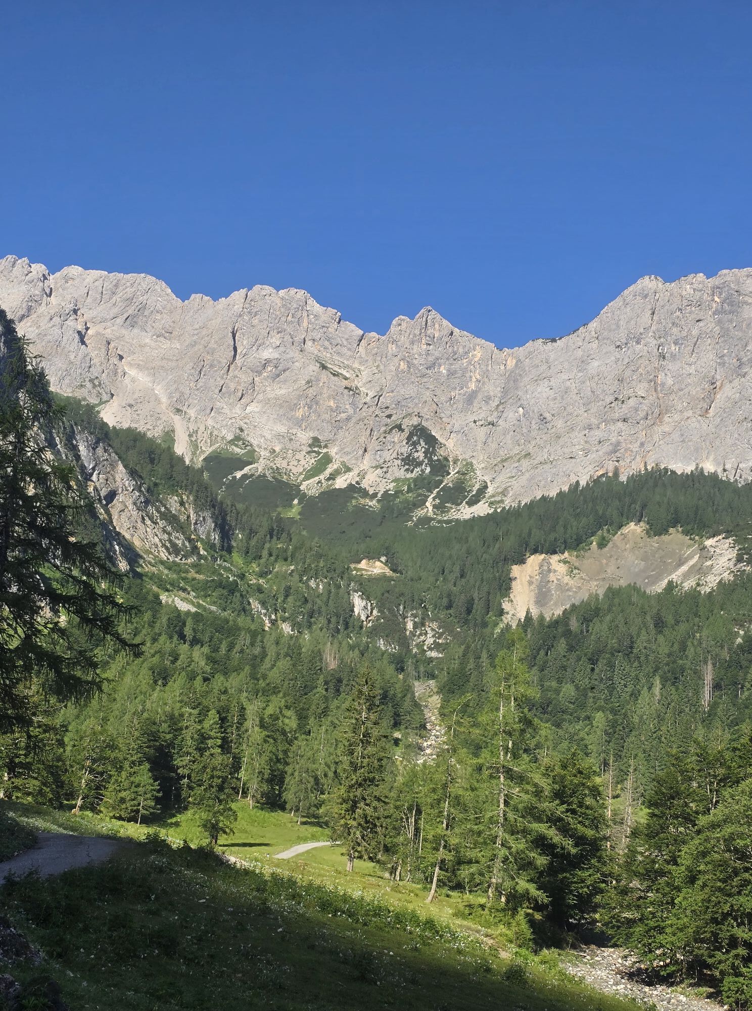
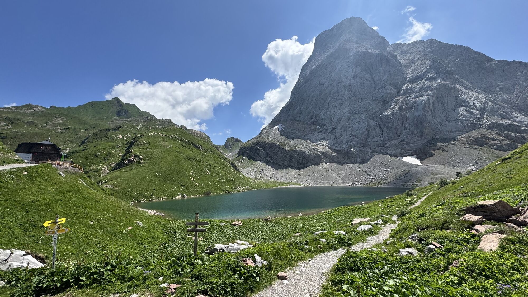
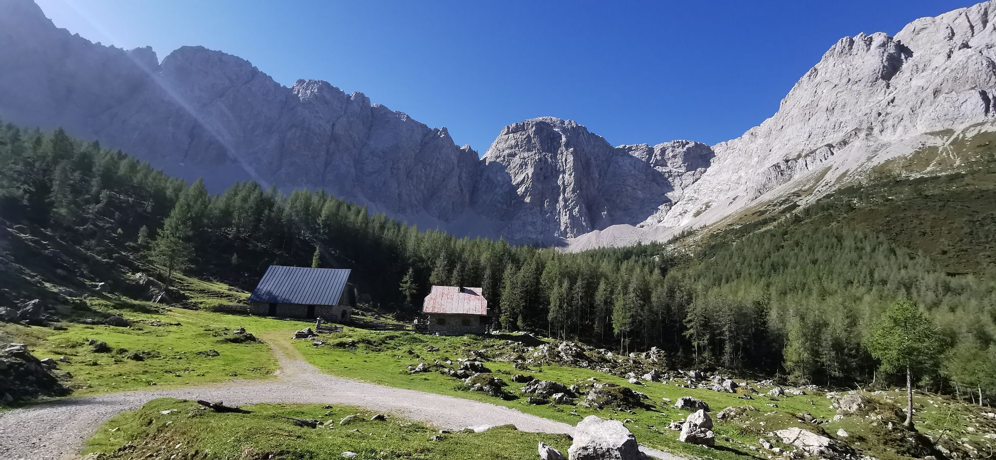
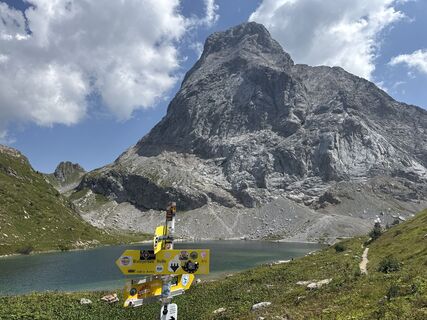
By car, drive to Birnbaum and then on to the small hamlet of Nostra. From there, the forest road continues to the Hubertus Chapel (start of the mountain bike route). From there, the route goes up to the Lower Wolayeralm, then continues in a serpentine fashion to the Upper Wolayeralm, before reaching the destination – the Wolayersee with its Wolayersee hut.

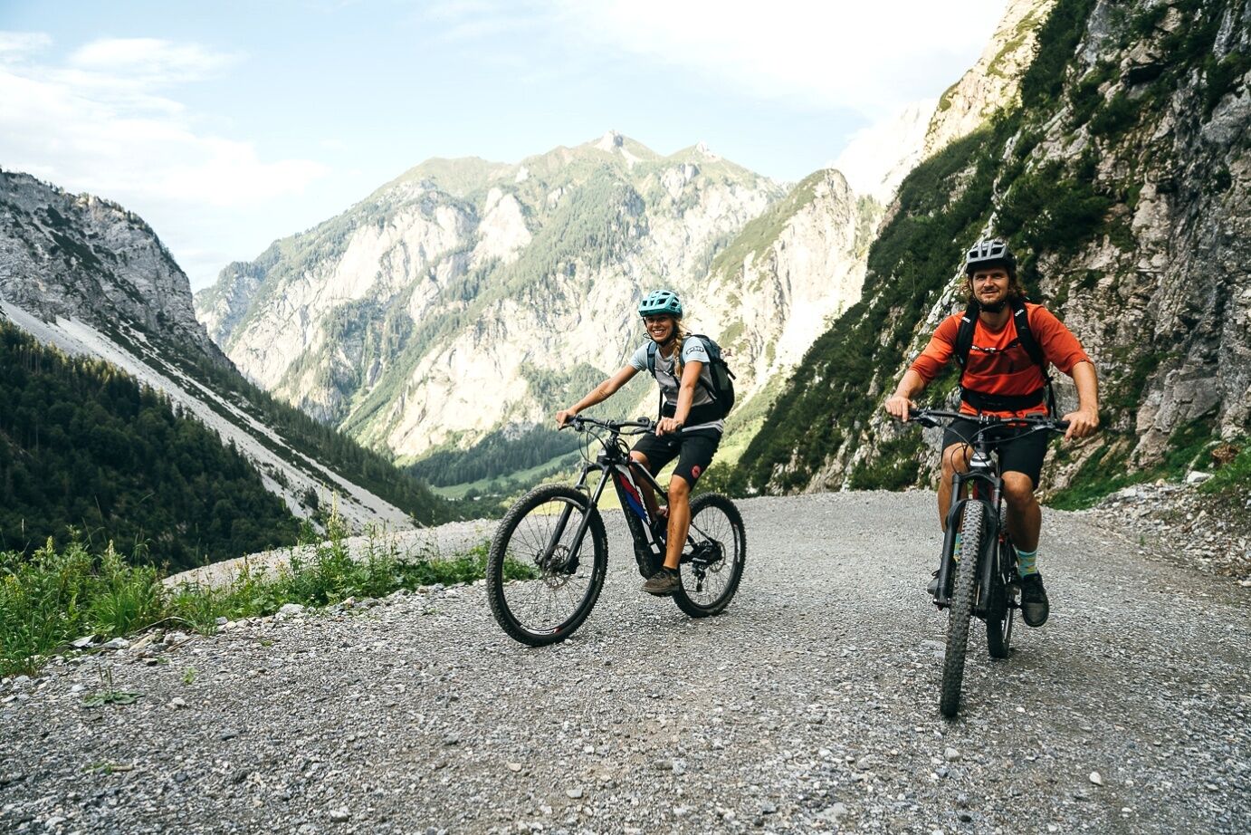
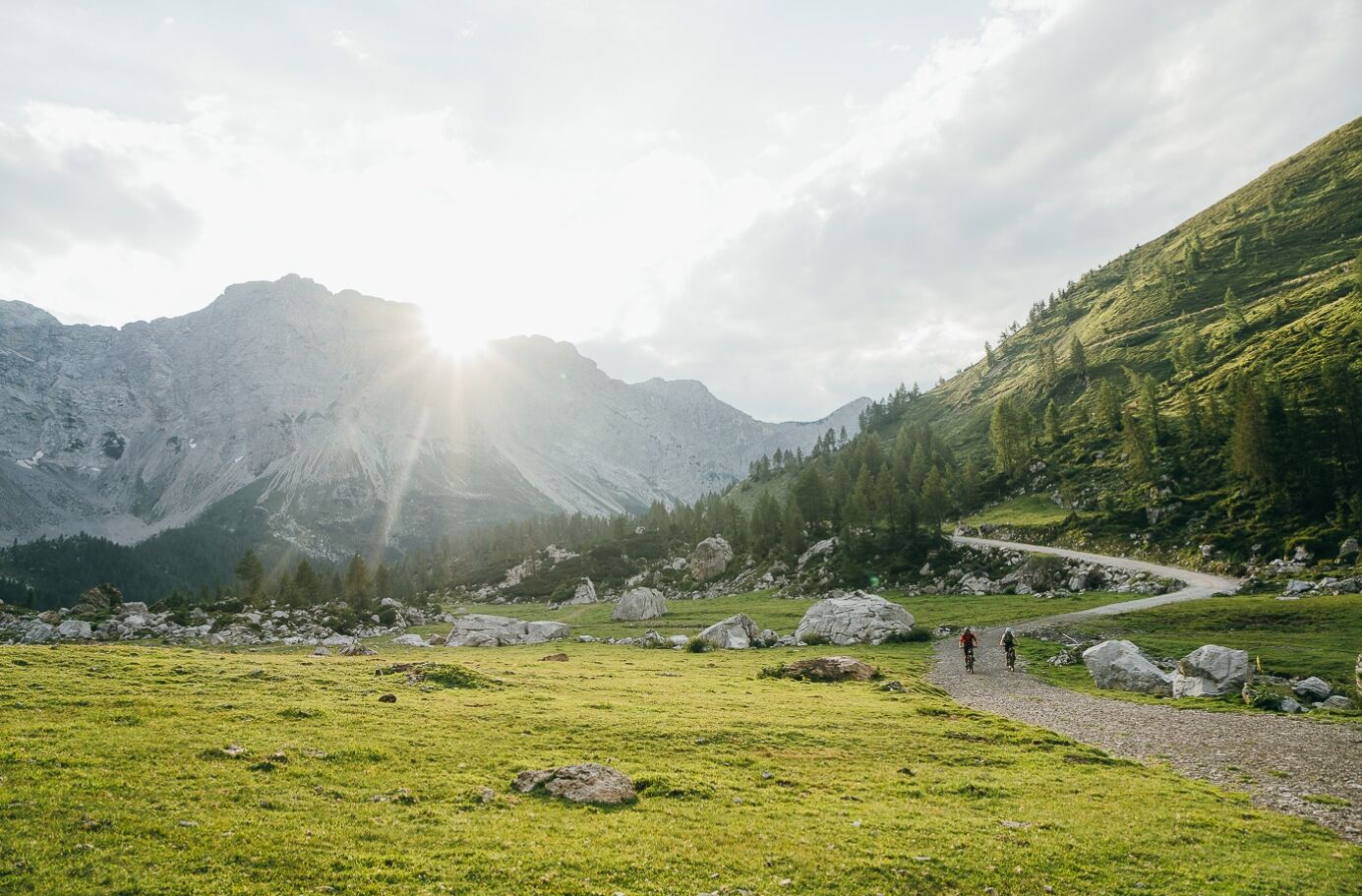
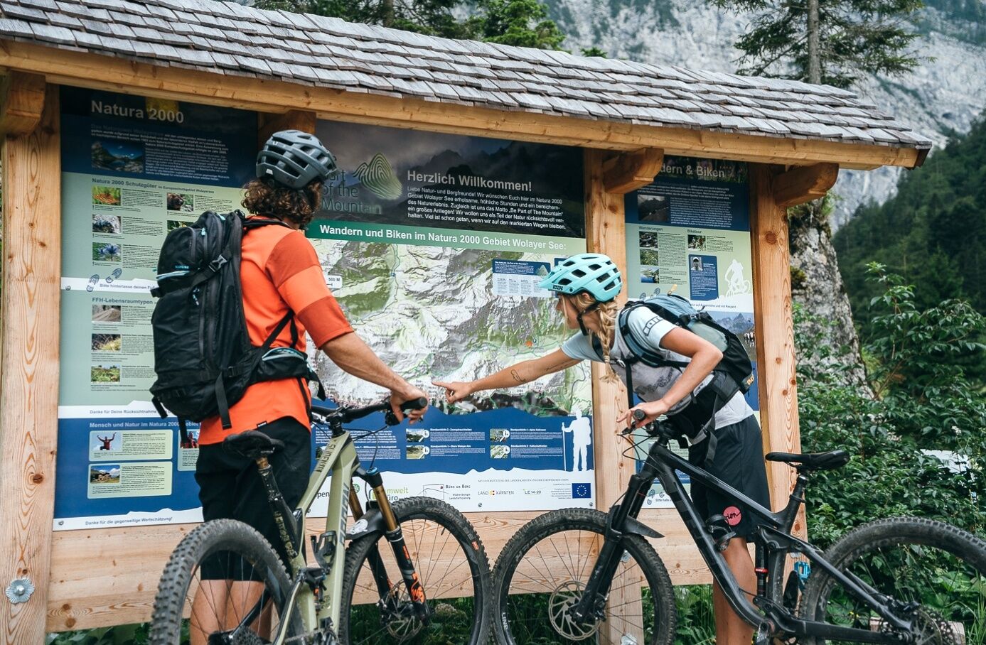
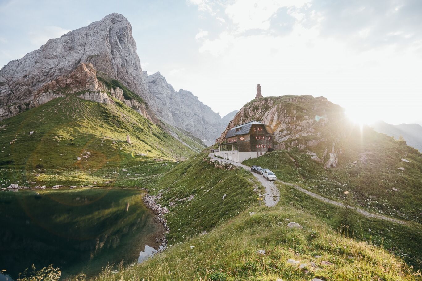
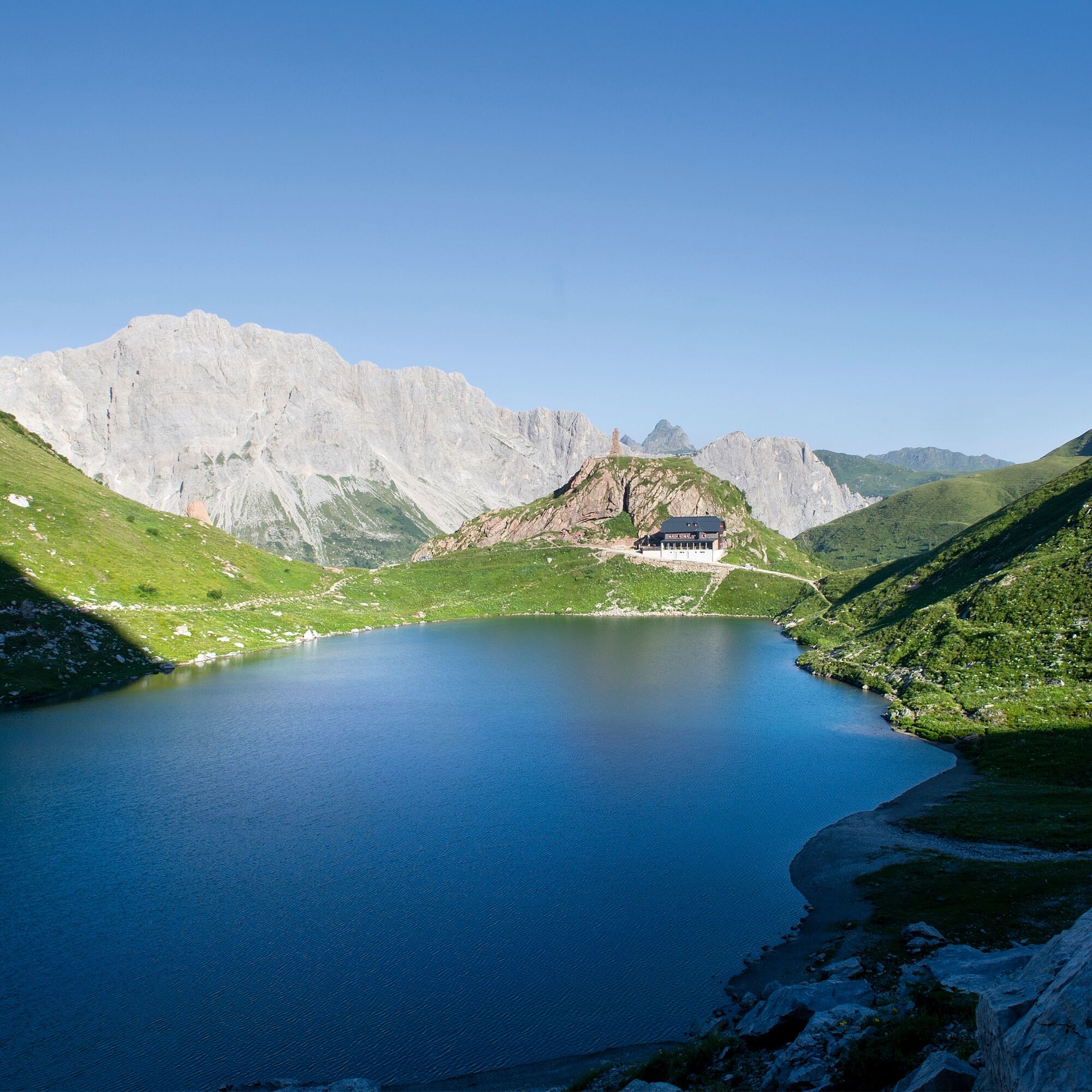
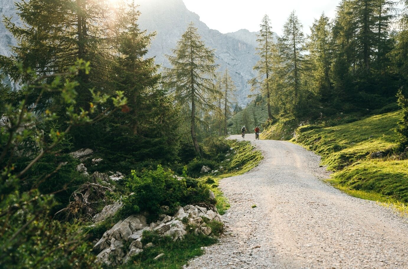
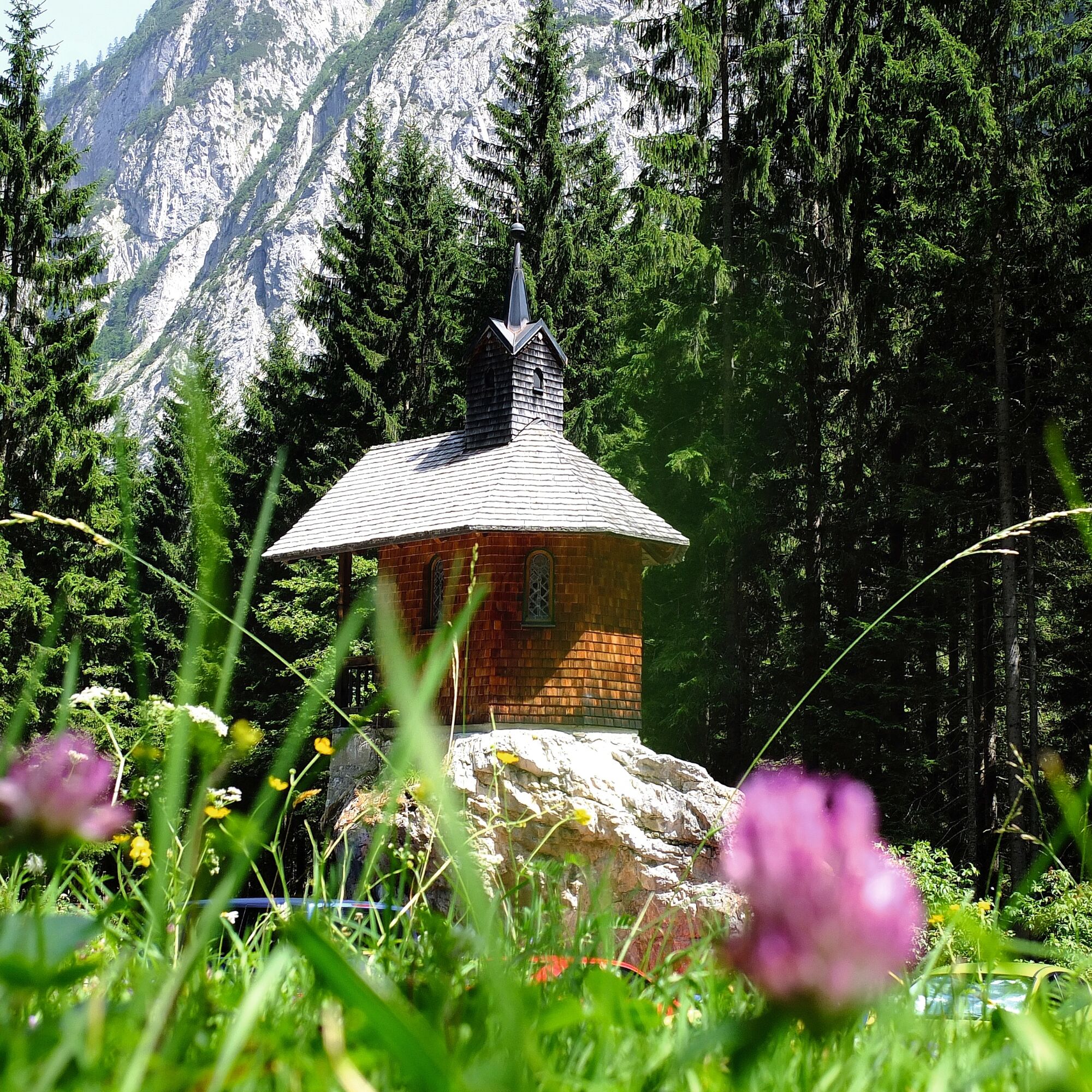

By car, drive to Birnbaum and then on to the small hamlet of Nostra. From there, the forest road continues to the Hubertus Chapel (start of the mountain bike route). From there, the route goes up to the Lower Wolayeralm, then continues in a serpentine fashion to the Upper Wolayeralm, before reaching the destination – the Wolayersee with its Wolayersee hut.
Ano
Mountain bike, safety equipment (helmet), warm clothing, sufficient drinking water
Partly rough stone path requires careful and concentrated riding
Please check the current path situation or possible path closures before the route!
Coming from the west: turn into the Lesachtal at Tassenbach (Sillian) - continue to Obertilliach - Maria Luggau - Liesing - Birnbaum. From there, the route can be started. Alternatively, there is the option to drive by car to the Hubertus Chapel in the Wolayer valley.
Coming from the east: turn into the Lesachtal at Kötschach - continue to St. Jakob - Birnbaum. From there, the route can be started. Alternatively, there is the option to drive by car to the Hubertus Chapel in the Wolayer valley.
By bus to Birnbaum in the Lesachtal
In Birnbaum or in the Wolayer valley at the Hubertus Chapel (large car park)
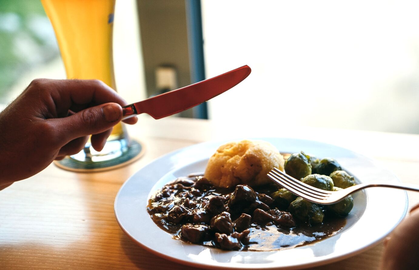
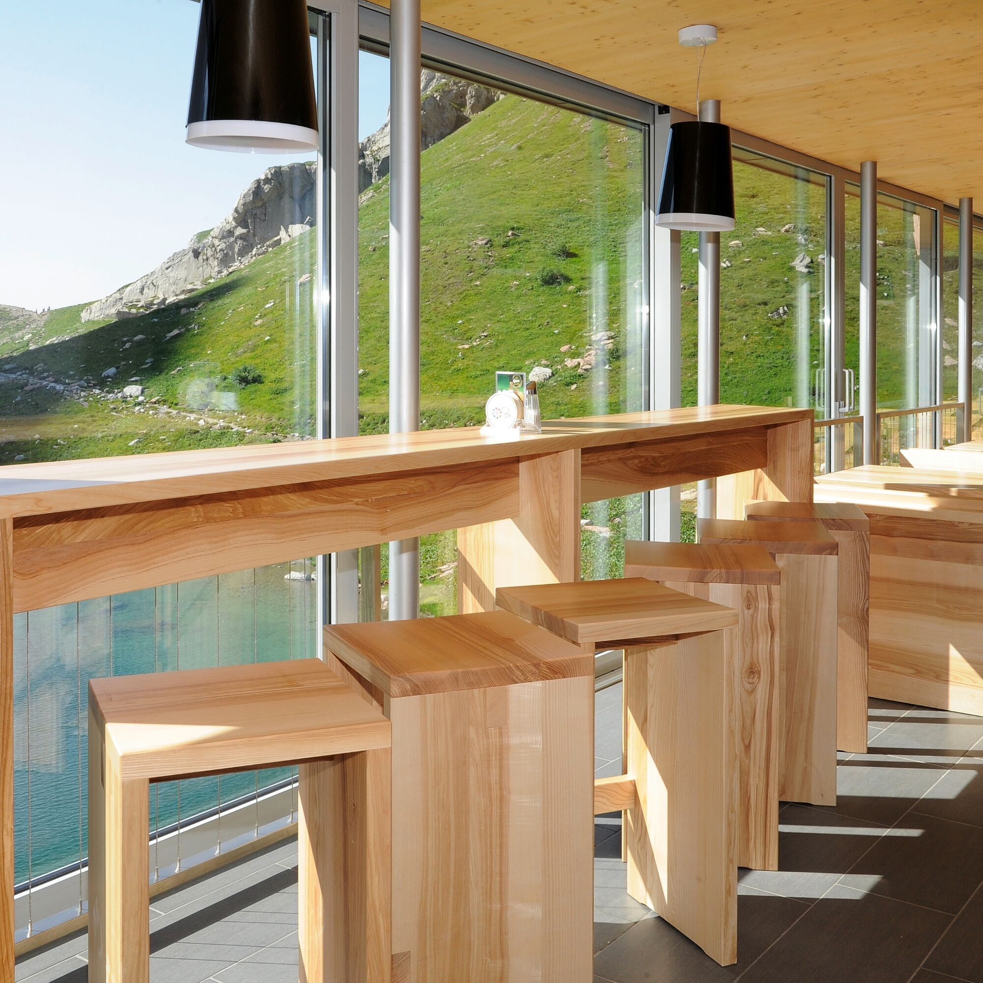
Stopover at the Wolayersee hut - TOP culinary offerings - impressive view
 Získejte přehled
Vždy živě na místě s více než 9 500 webkamerami. bergfex Jako uživatel Pro si nyní můžete zobrazit odpovídající webové kamery pro mnoho prohlídek v aplikaci prohlídky z. Můžete si tak přímo prohlédnout aktuální podmínky.
Získejte přehled
Vždy živě na místě s více než 9 500 webkamerami. bergfex Jako uživatel Pro si nyní můžete zobrazit odpovídající webové kamery pro mnoho prohlídek v aplikaci prohlídky z. Můžete si tak přímo prohlédnout aktuální podmínky.
Aktivity na trase
-

Lesachtal, Carinthia/Austria
14.08.2026 – Turistika -
Lesachtal, Kärnten/Österreich
09.08.2026 – Turistika -
Lesachtal, Kärnten/Österreich
09.08.2026 – Turistika -
Lesachtal, Kärnten/Österreich
23.07.2026 – E-MTB -

Lesachtal, Kärnten/Österreich
19.07.2026 – E-MTB -
Lesachtal, Kärnten/Österreich
29.06.2026 – Turistika -

Lesachtal, Kärnten/Österreich
12.06.2026 – Turistika -
Lesachtal, Kärnten/Österreich
26.08.2025 – Turistika -

Lesachtal, Kärnten/Österreich
15.08.2025 – Horská turistika -
Lesachtal, Kärnten/Österreich
11.08.2025 – Turistika -
Lesachtal, aufstieg Wolayersee von Hubertusk.
10.08.2025 – Turistika -


Lesachtal, Kärnten/Österreich
18.07.2025 – Turistika -

Wolayersee, Lesachtal, Österreich
15.08.2024 – Turistika
Oblíbené prohlídky v okolí
-
4.5
Karnischer Höhenweg – Etappe 4: Hochweißsteinhaus – Wolayersee Hütte
heavydálková pěší trasa 15.9 km -
4.5
Obergail - Obergailer Alm - Obergailer Lake - Enderberg hut - Source for Health & Peace - Madonna circular hiking route - Obergail
středníTuristika 11.4 km -
4.9
Karnischer Hauptkamm - Hohe Warte 2.780m - Hike and Bike
heavyHorská turistika 19.5 km -
3.9
Summit hike to the Hochstadel
středníTuristika 7.83 km -
5.0
Carnic altitude trail. Stage 4: Porzehütte – Hochweißsteinhaus
heavyTuristika 17.5 km -
5.0
Tuffbad - Guggenberger Sattel - Samalm - Tuffbad
středníTuristika 12.2 km -
3.7
Cellon-Stollen und Senza Confini auf den Cellon und Steinberger Weg zum Abstieg
středníVia ferrata 7.09 km -
3.9
Circular hike Obergail - Gamskofel - Obergail Alm - Obergail
středníTuristika 13 km -
5.0
Plöckenhaus - Polinik - Plöckenhaus
heavyTuristika 10.9 km -
4.2
Assing - Oberraster Alm - Lumkofel (2,287 m)
středníTuristika 9.45 km
Pěší turistika a stopování


Nenechte si ujít nabídky a inspiraci pro vaši příští dovolenou
Vaše e-mailová adresa byl přidán do poštovního seznamu.





