



Heart Region: Samedan – Celerina – Samedan

Úroveň obtížnosti: 1
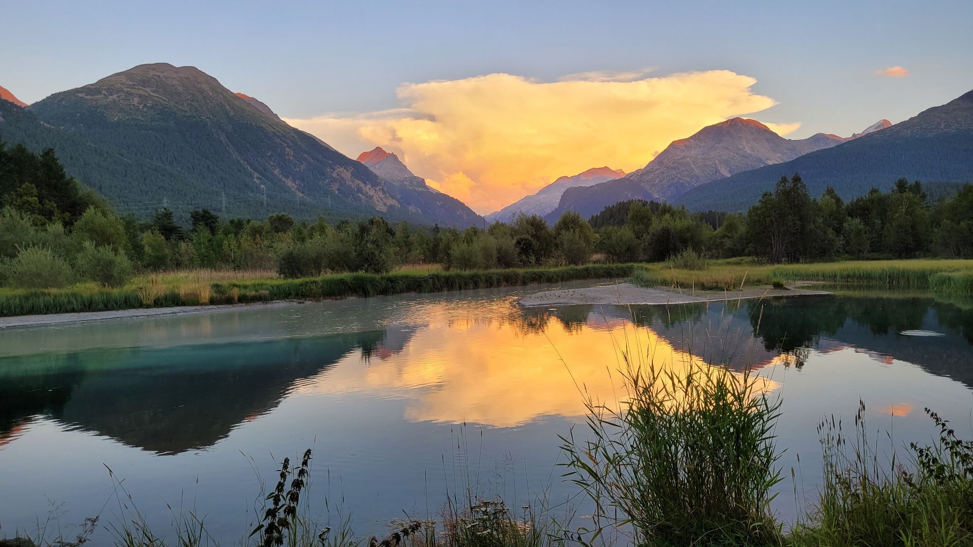
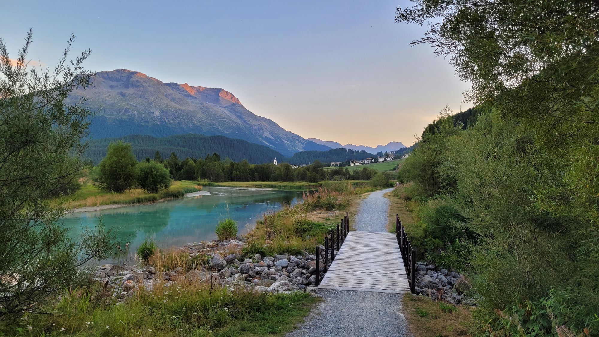
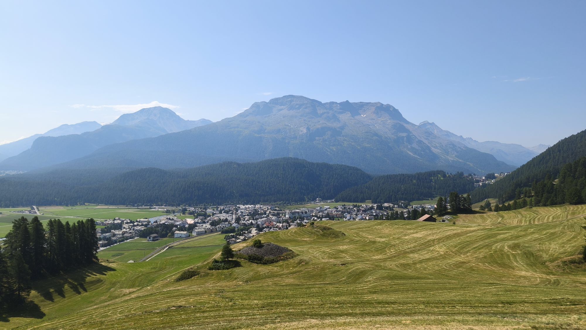


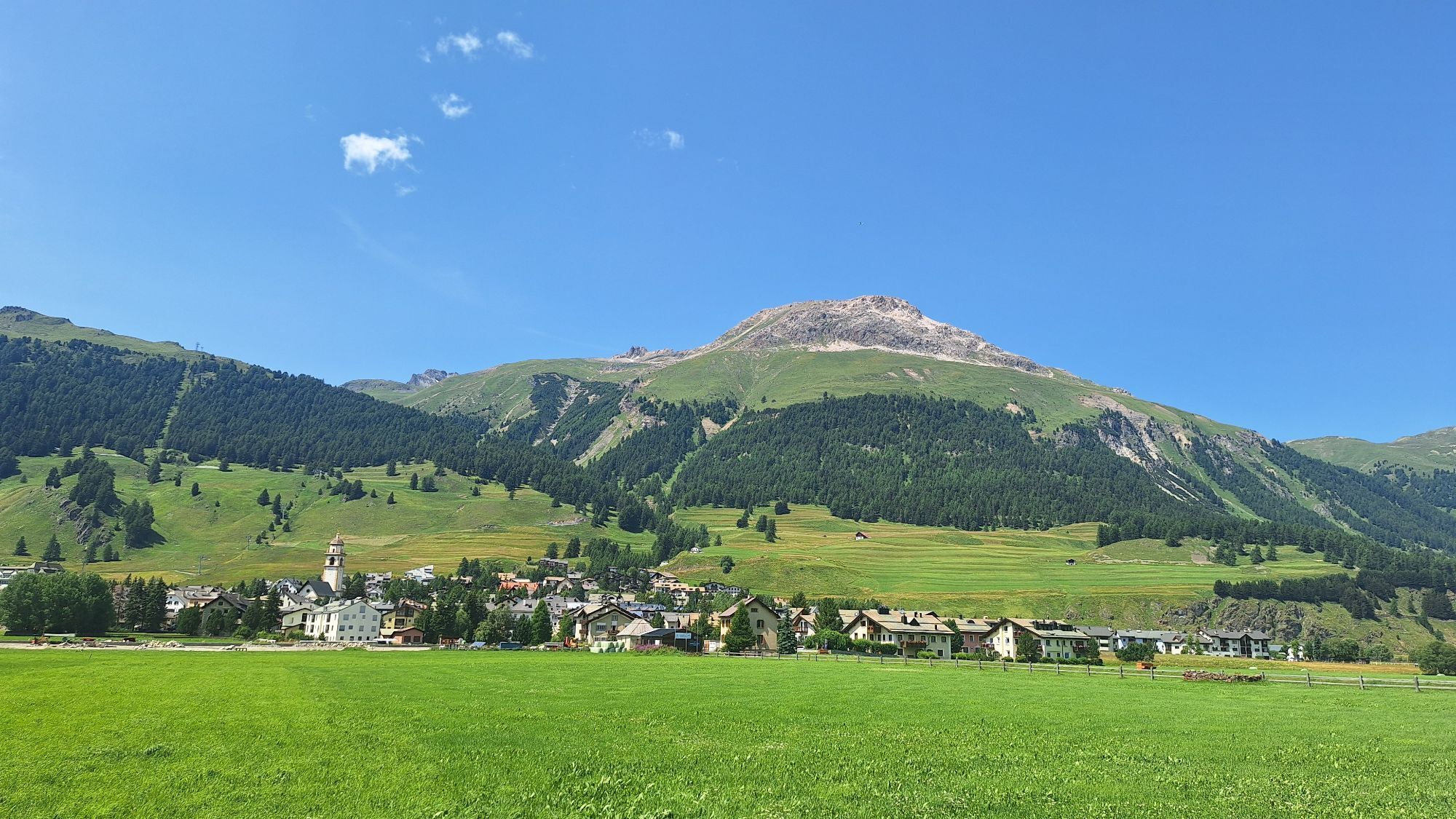
Symbolically, the circular hike through the upper part of the heart region starts at the 0-kilometer marker by the Protestant village church in Samedan. It leads past the church of San Peter to the base...
Symbolically, the circular hike through the upper part of the heart region starts at the 0-kilometer marker by the Protestant village church in Samedan. It leads past the church of San Peter to the base station of the Survih ski lift, continuing past the Nature Friends' hut Cristolais with a permanent view of Muottas Muragl and the Bernina massif to Celerina. The hike then crosses through Celerina towards the San Gian church. Shortly before the church, the path turns left, and the last kilometers are covered across flat terrain to the Ochsen Bridge, along the Flaz and Inn rivers, before the hiking loop closes again in the village center of Samedan. Those wanting to rest their tired legs can visit the Mineral Bath & Spa Samedan at the end point of the route.
Further information
Engadin Tourismus AG
Via Maistra 1
CH-7500 St. Moritz
Telephone: +41 81 830 00 01
E-Mail: allegra@engadin.ch
Internet: www.engadin.ch
Winter hiking trail conditions: www.engadin.ch/de/pisten-loipen-wege/winterwanderwege/

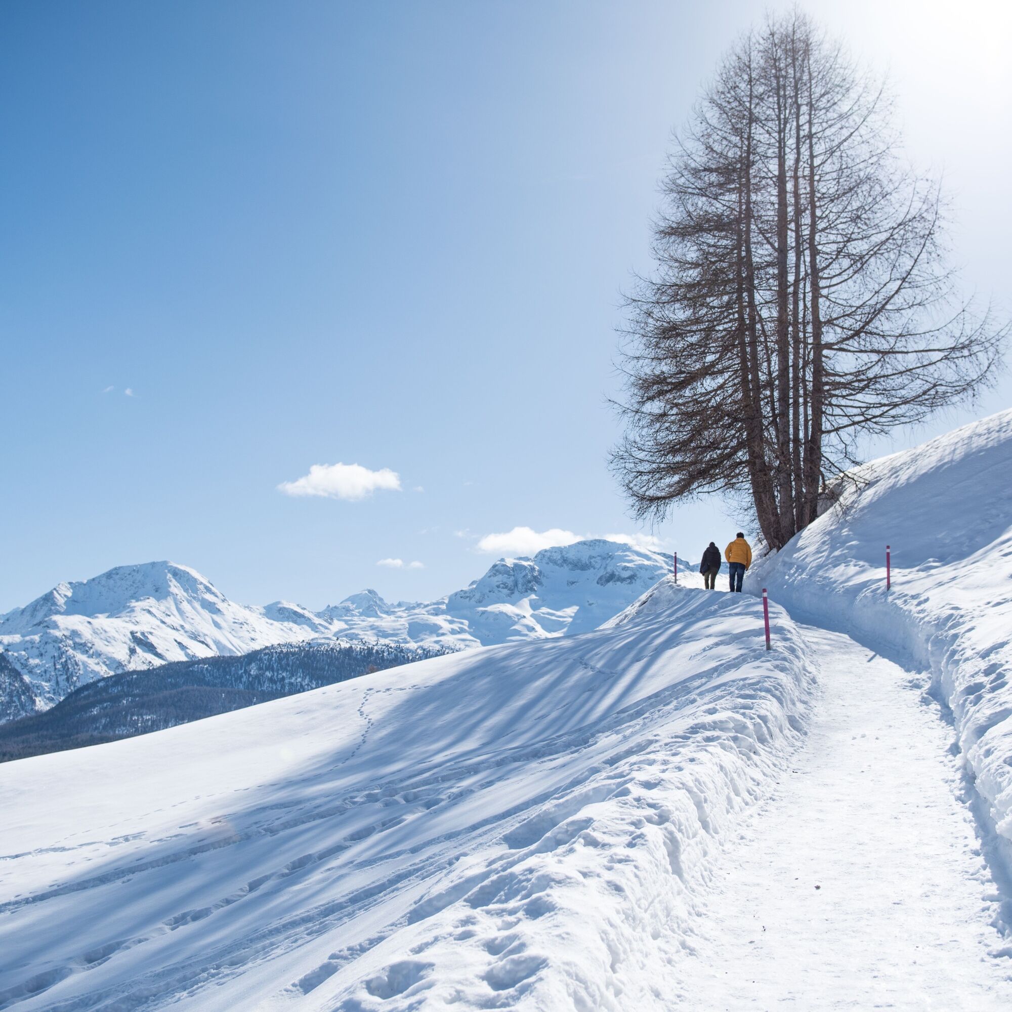
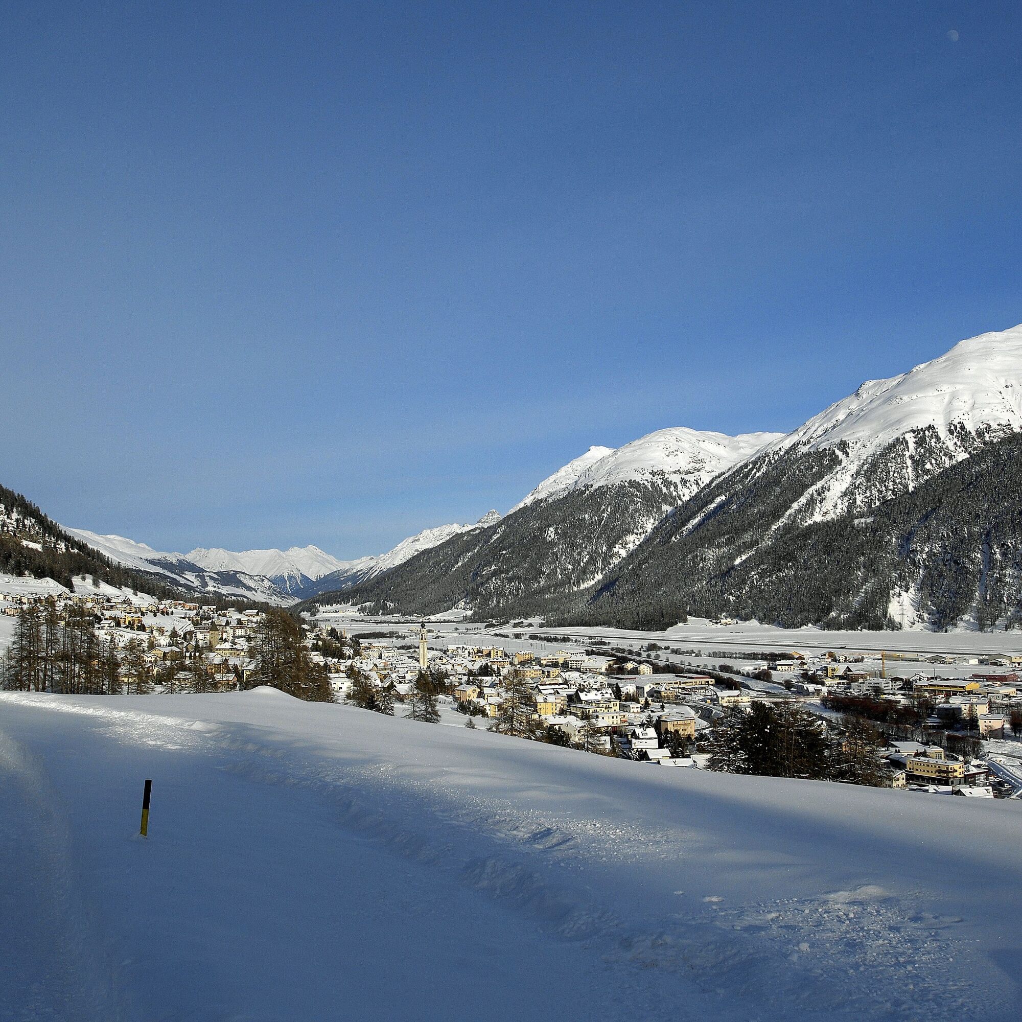

Samedan village square – Survih ski lift – Nature Friends' hut Cristolais – Celerina – San Gian – Ochsen Bridge – Sper l’En – Samedan village square
The paths may be closed or icy due to weather conditions. Please note the status updates for winter hiking trails!
Parking garage in Samedan
1
Since hardly any tree along the route shades the path from the sun in good weather, sunscreen is a basic essential!
Oblíbené prohlídky v okolí
-
5.0
Morteratsch station - Boval Hut
středníTuristika 10.5 km -
4.8
Panoramic route Muottas Muragl
světloTuristika 6.75 km -
4.7
Diavolezza - Munt Pers
světloHorská turistika 3.82 km -
5.0
Muottas Muragl - Segantini hut - Pontresina
středníTuristika 6.46 km -
4.8
Morteratsch Glacier route
světloTematická stezka 2.88 km -
4.5
Pontresina - Val Roseg - Pontresina
světloTuristika 13.8 km -
4.8
Alp Languard - Segantini Hut - Muottas Muragl
středníTrailrunning 6.45 km -
4.8
SAC Tschierva
světloTuristika 24.7 km -
4.8
Around Lake St. Moritz
světloTuristika 4.32 km -
Muottas Muragl - Segantini Hütte - Pontresina
středníTuristika 17.5 km
Pěší turistika a stopování


Nenechte si ujít nabídky a inspiraci pro vaši příští dovolenou
Vaše e-mailová adresa byl přidán do poštovního seznamu.


