


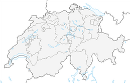


National Park: Val Trupchun
Úroveň obtížnosti: T2
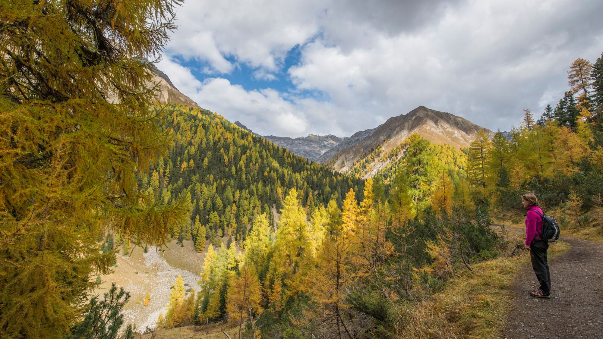
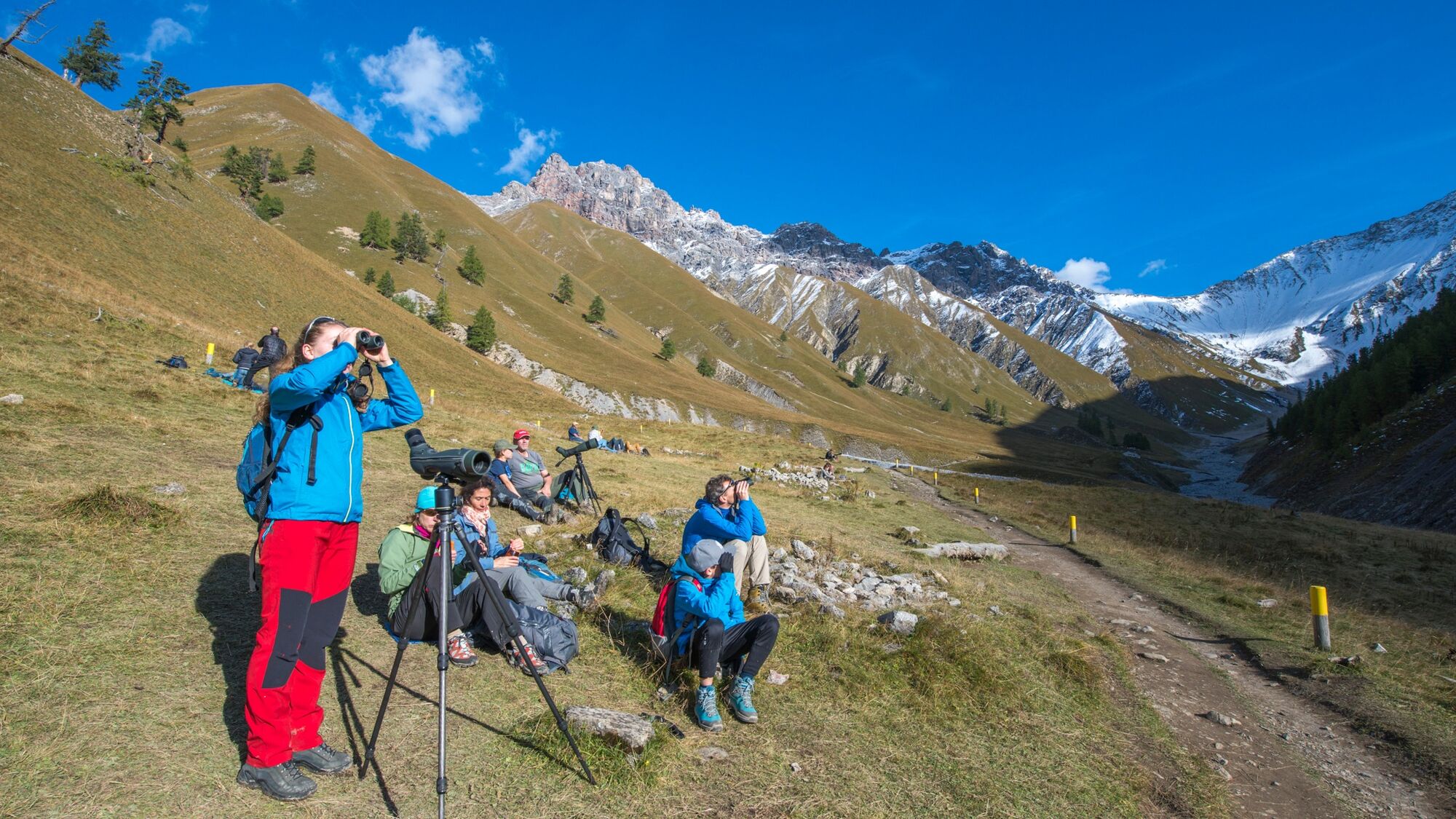
This hike is one of the most famous hikes into the Swiss National Park. In particular in autumn/fall time, when you can watch and listen to the "Brunft" of the deers. This hike also leads as a little round...
This hike is one of the most famous hikes into the Swiss National Park. In particular in autumn/fall time, when you can watch and listen to the "Brunft" of the deers. This hike also leads as a little round tour through the park and offers various pciknick places. But most important here is the view and the observation of the wild animals you can see here on the mountains around this valley. Therefore a field glass is highly recommended. But also the fauna is very rich and is worth to be aware. protection regulation - Swiss National Parc.

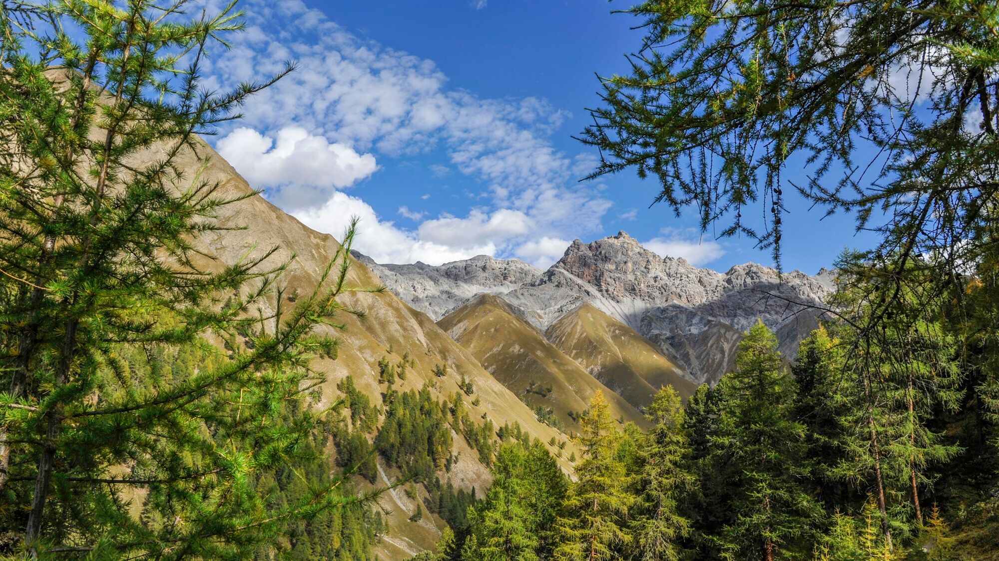
From S-chanf train station the trail leads eastwards over the Inn and from Prasüras either left or right along the Ova da Varusch stream to the Punt da Scrigns bridge. For the high trail you cross the stream, gain height and branch off at the national park information board into Val Trupchun. The wide path runs gently upwards through a cultivated mountain forest to the park boundary. After the highest point, the path descends towards the Ova da Trupchun, and finally crosses it on a prominent bridge. Just behind it is the Val Mela rest area, which offers a box seat for observing deer and marmots. Across the huge delta of debris at the mouth of the Val Mela, the trail reaches the alp Trupchun at 2040 m above sea level. For the way back, we recommend the valley trail on the right side of the Ova da Trupchun, through the larch and pine forest of Dschembrina and across the former pig alp Purcher. The Varusch park hut offers food and accommodation shortly after. Via Punt da Scrigns the trail reaches the starting point again.
Ano
Ano
High and stable hiking shoes or boots, warm cloths, sun protection and rain cover. Furthermore hiking sticks, field glass and official hiking maps are recommended.
In the winter this trail is closed, like the whole Swiss National Park.
Emergency/First aid:
144 Swiss emergency call
1414 Swiss mountain rescue team REGA
112 International first aid
From the north: via Landquart - Klosters by car transport through the Vereina tunnel (Selfranga - Sagliains) or via the Flüela Pass into the Lower Engadin on H27.
From the east: via Landeck / Austria in the direction of St. Moritz on H27From south: via Reschenpass (Nauders-Martina) or Ofenpass (Val Müstair-Zernez) on H27S-chanf is located on the Engadin road H27.
From the village follow the signalization "Parc Naziunel".
Parking in the Prasüras area at the entrance to Val Trupchun.
T2
The Swiss National Park (SNP) offers a guided day hike to Val Trupchun every Thursday (during the deer rut in autumn also on Fridays). Details at: www.nationalpark.ch

Oblíbené prohlídky v okolí
- 4.8
Circular hike Val Trupchun in the Swiss National Park
středníTuristika 13.8 km - 4.6
Panoramic route Muottas Muragl
světloTuristika 6.75 km - 5.0
Muottas Muragl - Segantini hut - Pontresina
středníTuristika 6.46 km - 4.8
National park: Zernez – Munt Baselgia – Macun lakes – Alp Zeznina – Lavin
heavyTuristika 22.9 km - 5.0
Lej Muragl
středníTuristika 7.39 km - 4.8
National Park: Grimmels (circular hike)
světloTuristika 6 km - 4.7
Alp Languard - Segantini Hut - Muottas Muragl
středníTrailrunning 6.45 km - 5.0
Crap da la Pare' with Joëlette
světloTuristika 4.58 km - 4.5
Muottas Muragl - Fuorcla Muragl - Val Chamuera
středníTuristika 17.6 km Kesch Trek Tour (4 stages)
střednídálková pěší trasa 47.6 km
Pěší turistika a stopování


Nenechte si ujít nabídky a inspiraci pro vaši příští dovolenou
Vaše e-mailová adresa byl přidán do poštovního seznamu.