







National park: Zernez – Munt Baselgia – Macun lakes – Alp Zeznina – Lavin
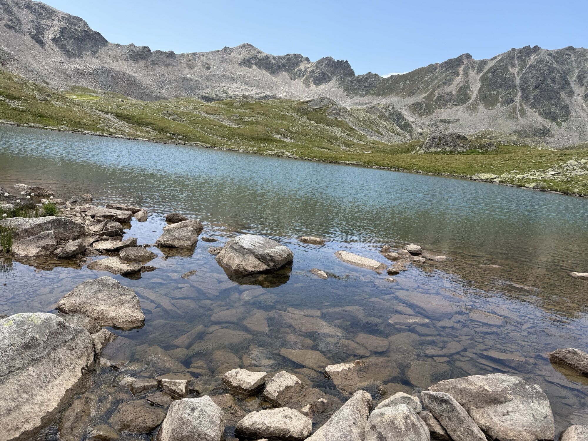
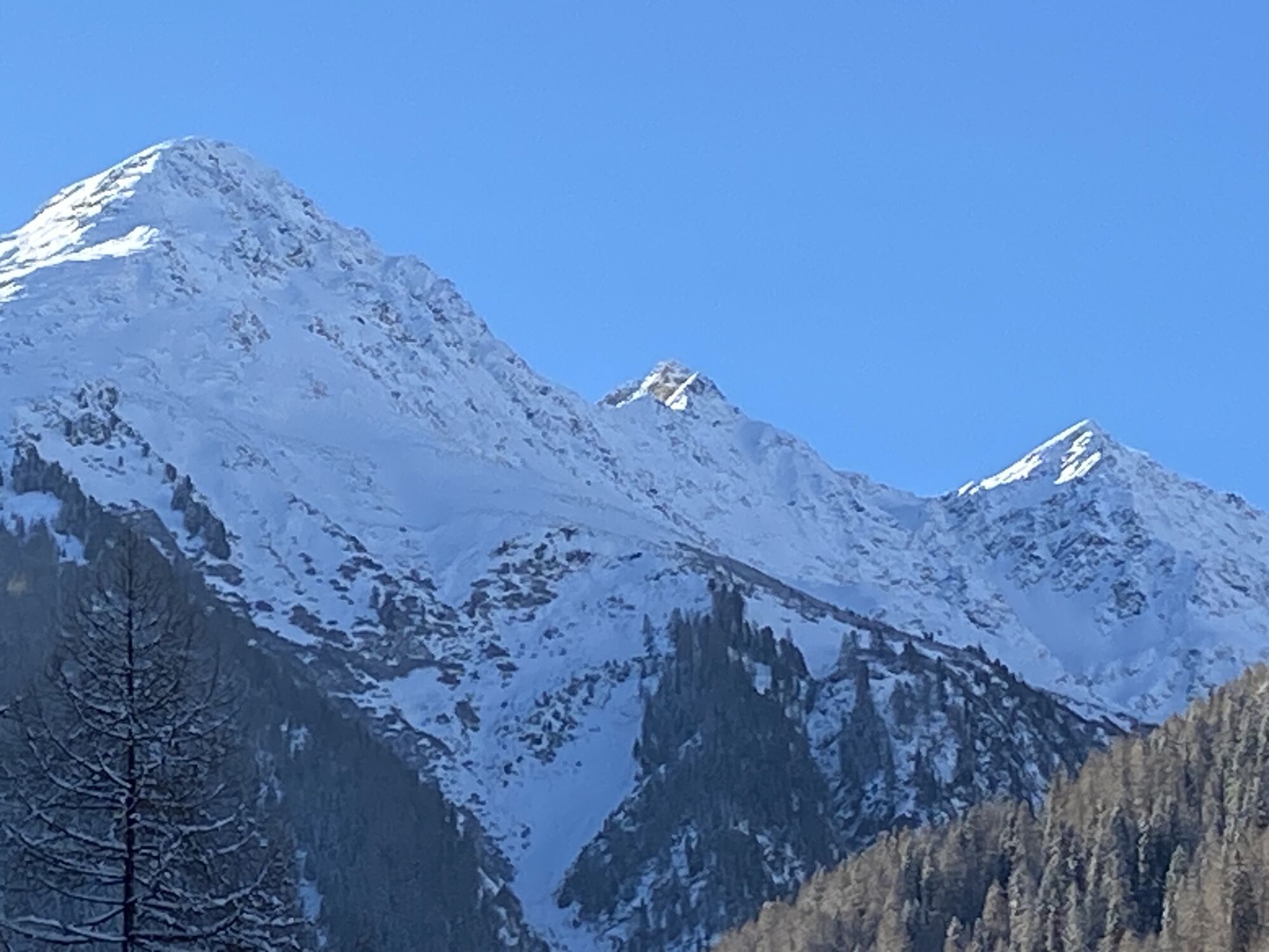
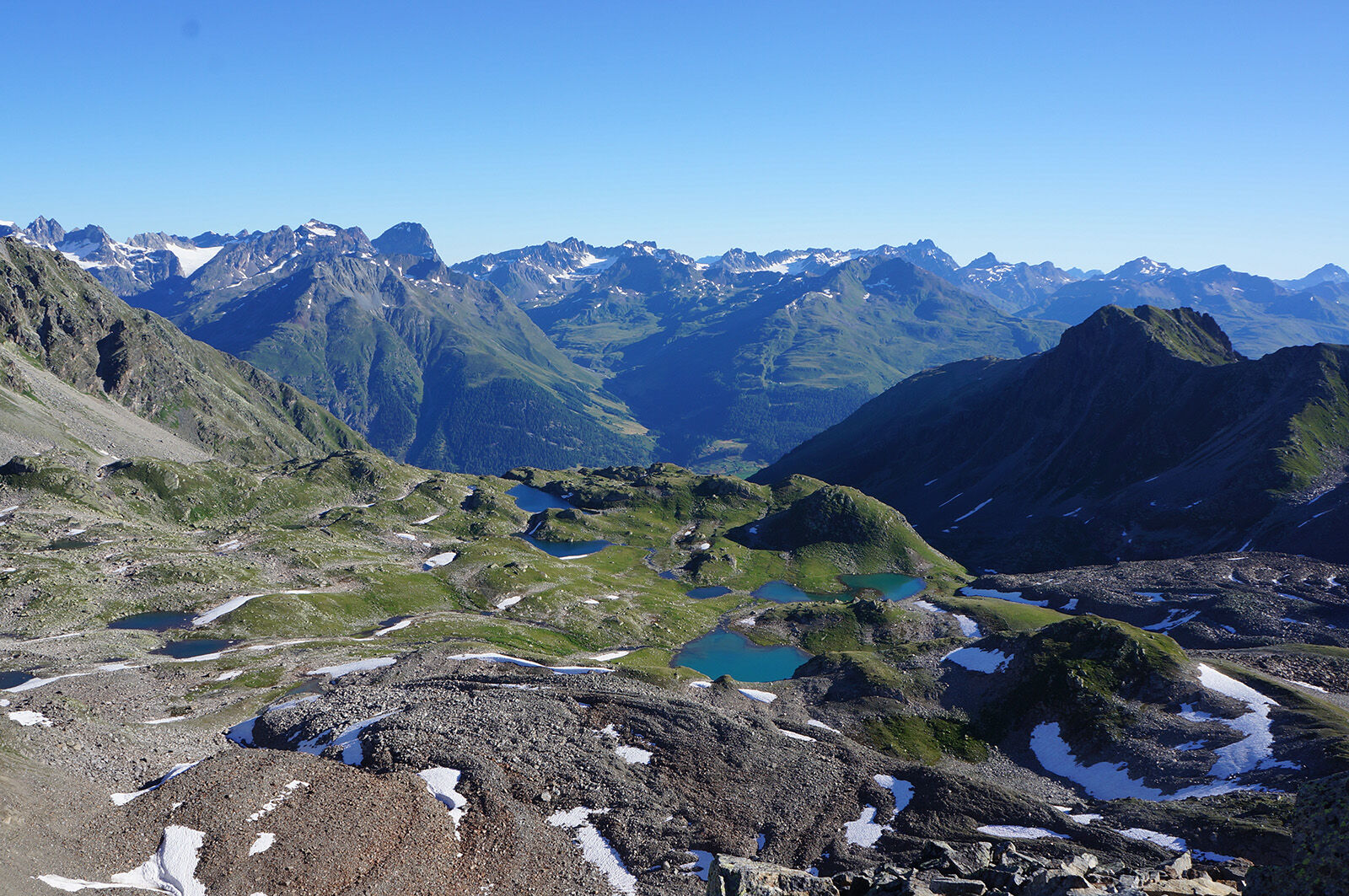
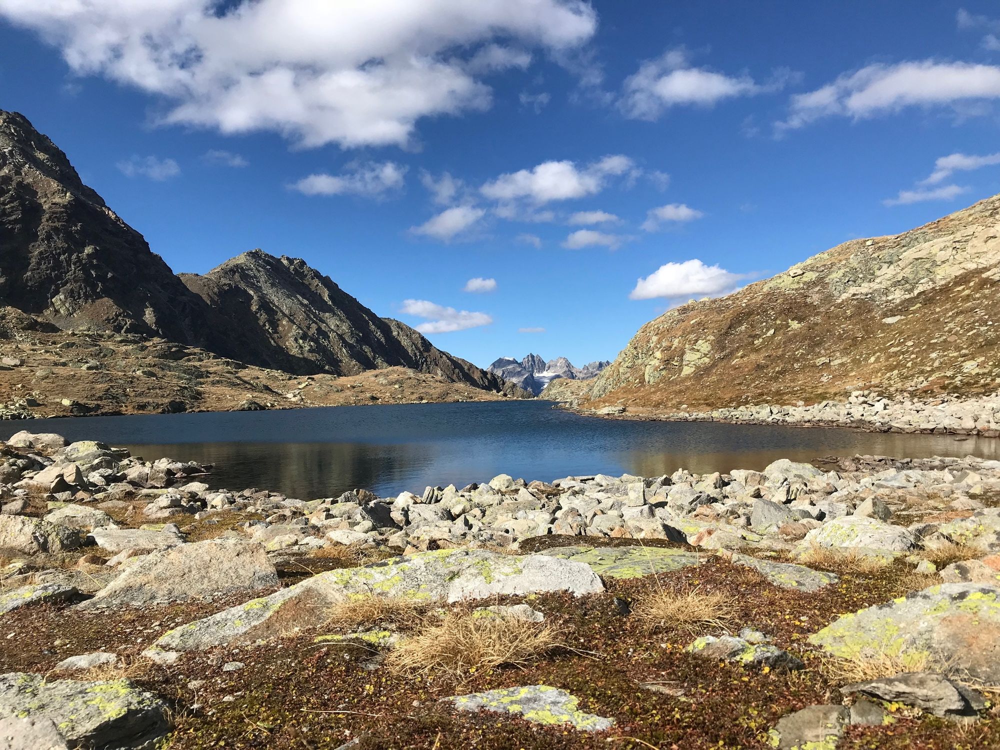
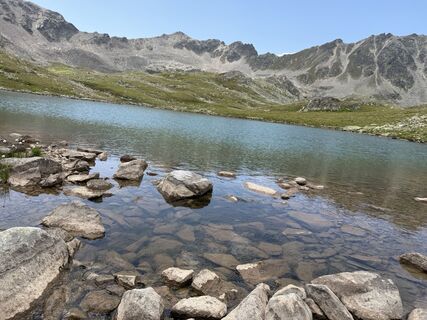
Since the year 2000, the Swiss National Park has become richer by a true gem with the Macun lake plateau. Located on a high plateau between Zernez and Lavin, 23 small lakes lie like a string of pearls....
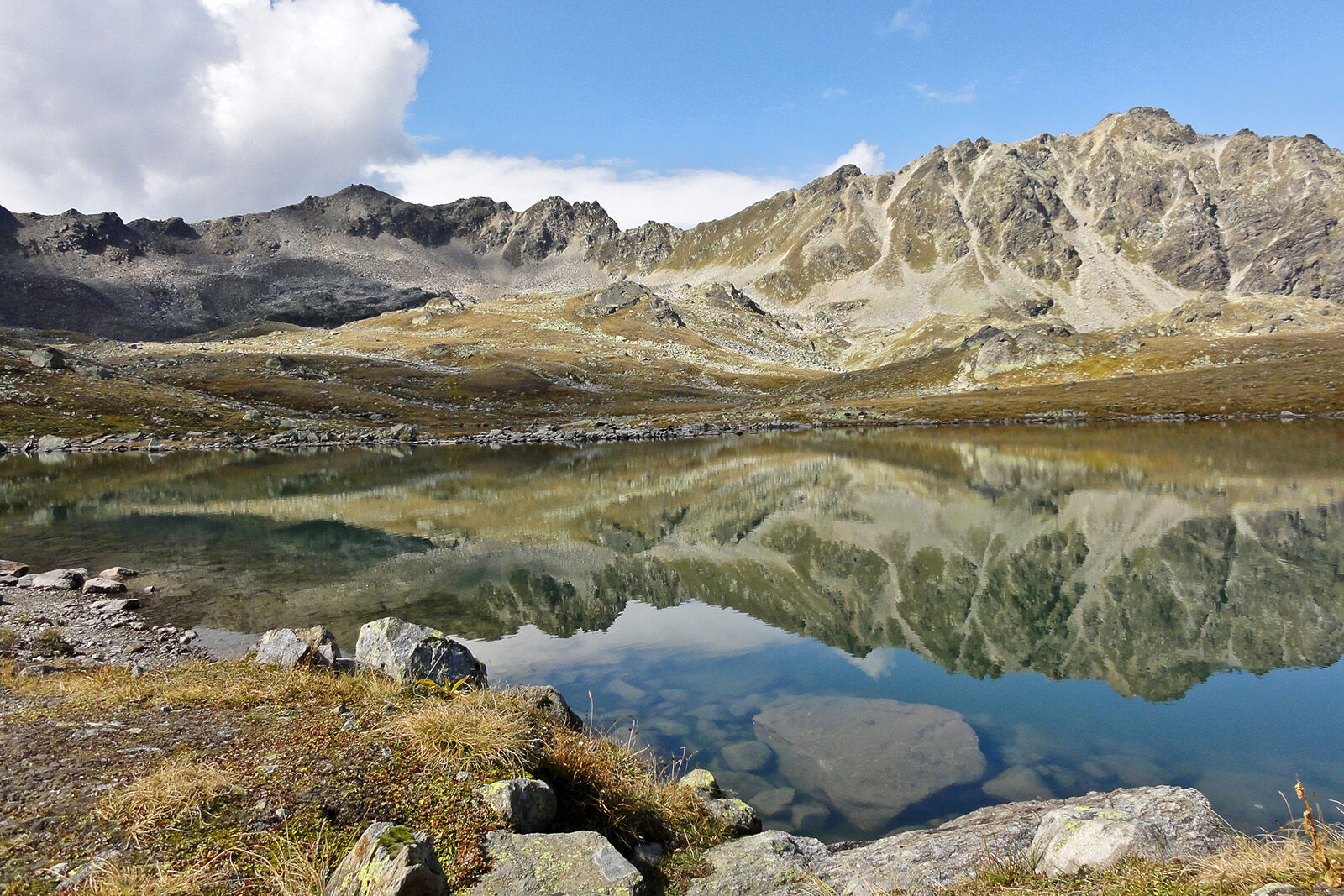
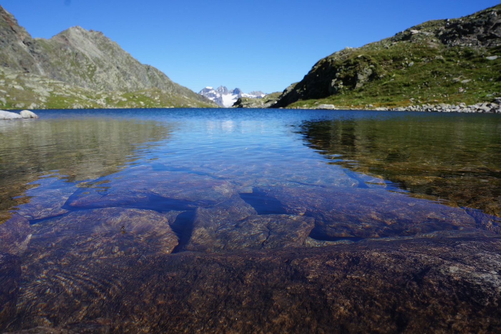
Since the year 2000, the Swiss National Park has become richer by a true gem with the Macun lake plateau. Located on a high plateau between Zernez and Lavin, 23 small lakes lie like a string of pearls. Besides this, the hike offers an impressive view from Munt Baselgia, a special flora on crystalline ground (including the only Swiss occurrence of the pygmy pasqueflower), and the opportunity to experience block glaciers up close.
The loop at the Macun lakes is a voluntary extension of the route and takes an additional approx. 50 minutes (not included in the details for this route). However, this can be bypassed by taking the direct path towards Lavin.
Note: Dogs are not allowed in the Swiss National Park, not even on a leash. Further information and all protection regulations can be found at nationalpark.ch/schutzbestimmungen.



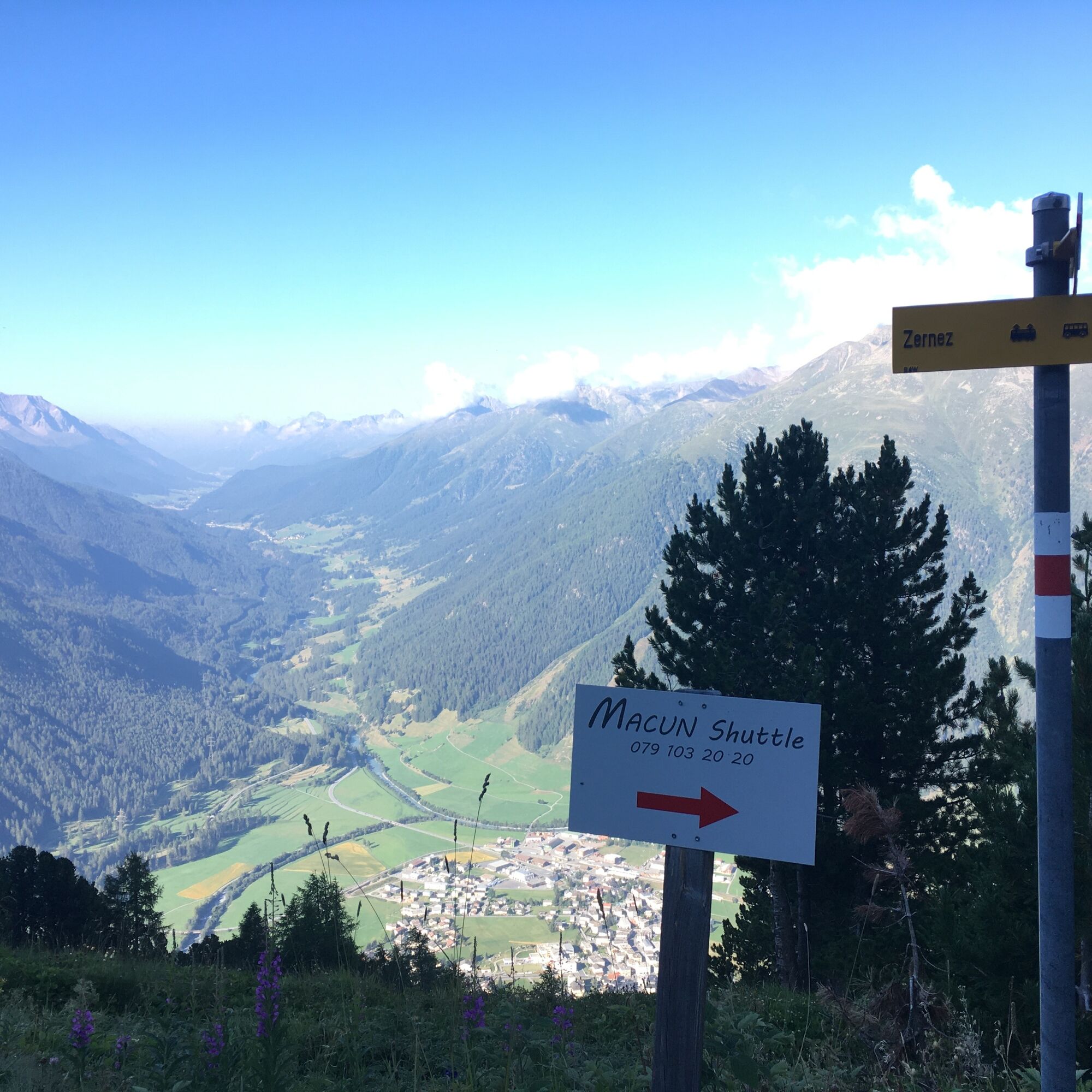

The hike starts for resilient hikers who climb the entire ascent on foot directly at Zernez railway station (1471 m above sea level). From here, there is also the option to take a shuttle bus up to Plan Sech to save 1.5 to 2 hours of ascent. Info about the bus at hotelstaziun.ch/macun-shuttle.
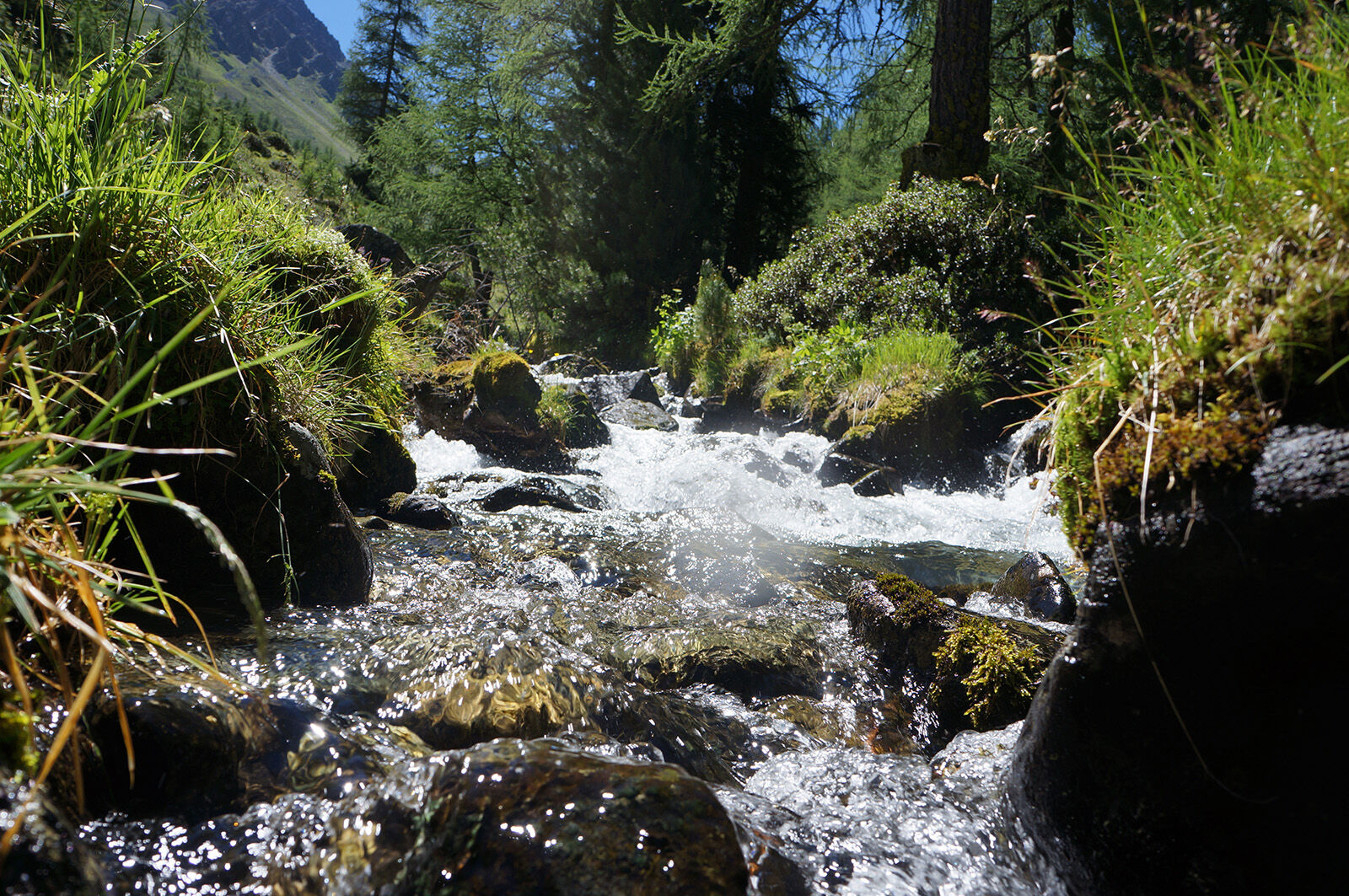
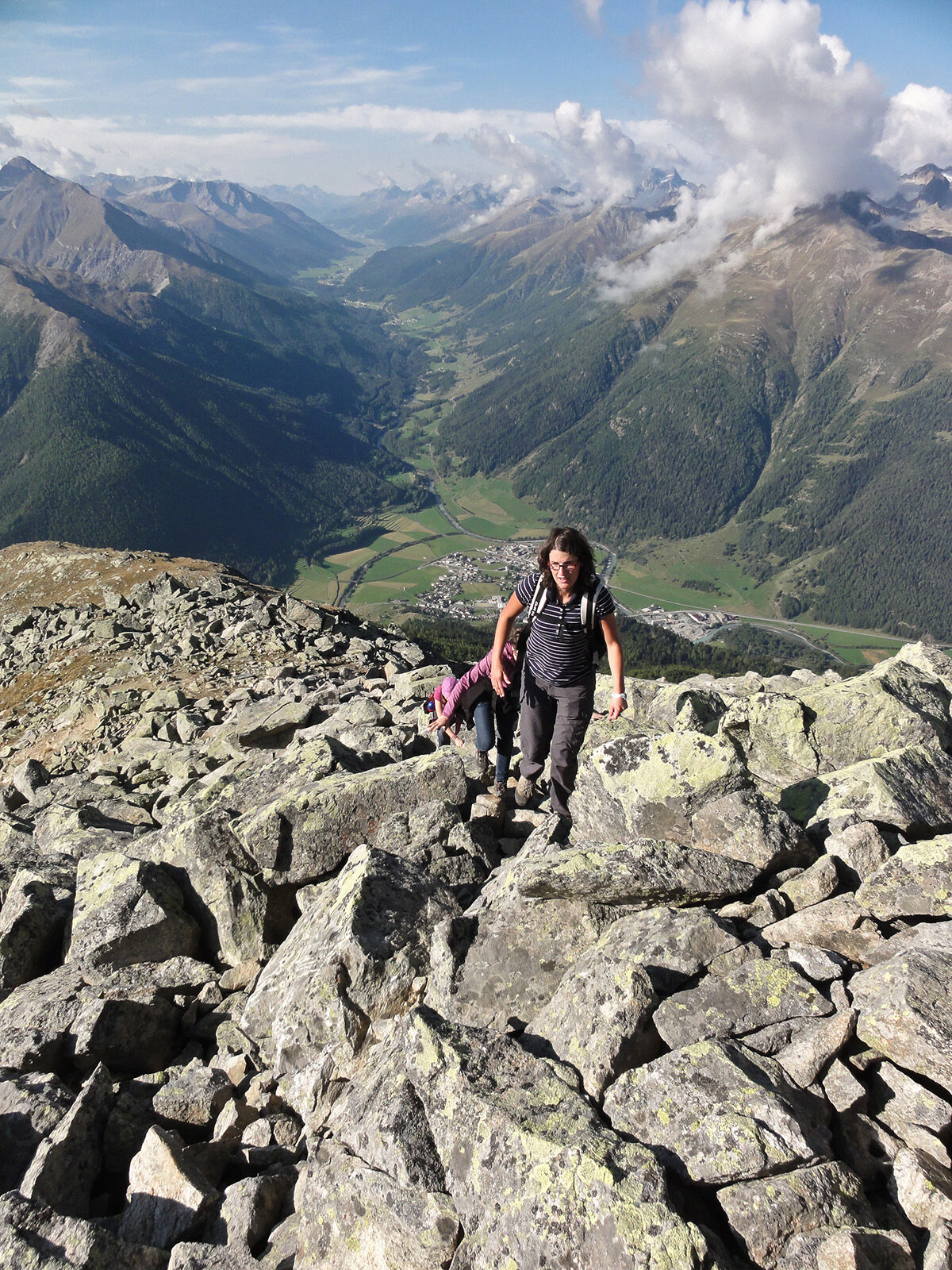
The route leads to the church hill in Zernez, from where you follow the road or the slightly steeper hiking path towards Munt Baselgia. 700 meters of altitude gain must be overcome in the varied mountain forest, which offers everything from the last barberries near Zernez up to the gnarled larches at the tree line. Above the tree line, at Plan Sech, the road ends. From here, the hike also begins for those who took the shuttle bus from Zernez. The path winds uphill through avalanche barriers to a beautiful viewpoint (2682 m above sea level). The following final ascent leads steeply over coarse block rubble.
The view from the highest point of Munt Baselgia (2945 m above sea level) makes up for all the effort: The wide Macun lake plateau opens up, the pyramid of Piz Arpiglias, the chain of Piz Macun, and the dark form of Piz Nuna. From the east, the Ofenpass area greets with the backdrop of the Italian Ortler massif. To the south, the mighty Bernina group is unmistakable, while to the west the Sarsura Glacier appears.
The following descent to the Fuorcletta da Barcli (2850 m above sea level) requires surefootedness and concentration once again. Upon reaching Fuorcletta da Barcli, the route turns north through the uppermost scree basin of Macun, where snow often remains even in high summer, and leads past impressive block glacier tongues down to the first lakes. To the left is Lai Sura (upper lake), straight ahead Lai d’Immez (middle lake), and to the northwest follows Lai da Mezza Glüna (crescent moon lake). The path leads down to Lai d’Immez with a rest area on the east shore.
After this, there are two options:
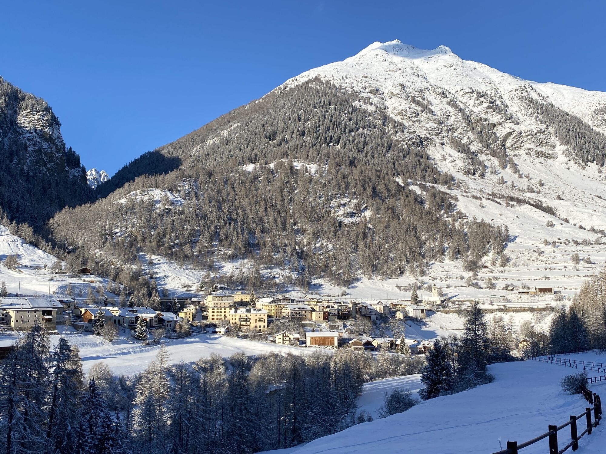
The path north leads directly into the Val Zeznina, while the path west allows a visit to the Lai dal Dragun (dragon lake). At the park boundary, the two paths meet again, and the route descends steeply and partially slippery to Alp Zeznina (1958 m above sea level). From here, the well-marked hiking path leads through the forest steadily but at a pleasant incline down to the end of the hike in Lavin (1412 m above sea level).
Alternatively, marked paths can be taken to descend to Susch (about 20 minutes longer walking time). From both villages, trains run hourly back to the starting point in Zernez.
Ano
Sturdy hiking or mountaineering boots, warm clothing, sun and rain protection, hiking poles as needed, binoculars recommended
The route was rated under favorable weather conditions; the current weather conditions and forecasts must be strictly observed before starting the hike. This route requires basic alpine experience, orientation skills, hiking boots are recommended.
Emergency numbers:
144 Emergency, first aid
1414 Mountain rescue REGA
112 International emergency number
From the north: via Landquart – Klosters by car shuttle through the Vereina Tunnel (Selfranga - Sagliains) or over the Flüelapass to the Lower Engadine on H27
From the east: via Landeck / Austria towards St. Moritz on H27
From the south: via Reschenpass (Nauders-Martina) or Ofenpass (Val Müstair-Zernez) on H27
Zernez is located directly on the Ofenpass and the Engadine road H27 (10 minutes drive from the Vereina south portal).
By the Rhaetian Railway (from Chur, Landquart/Prättigau, from the Upper Engadine or from Scuol) hourly to Zernez
By the PostBus (from Mals and Val Müstair) hourly to Zernez
The first 600 meters of altitude from Zernez to Plan Sech can be covered by advance reservation with a shuttle taxi (reservation: Macun Shuttle +41 79 103 20 20).
Free parking at Zernez railway station

 Získejte přehled Vždy živě na místě s více než 9 500 webkamerami. bergfex Jako uživatel Pro si nyní můžete zobrazit odpovídající webové kamery pro mnoho prohlídek v aplikaci prohlídky z. Můžete si tak přímo prohlédnout aktuální podmínky.
Oblíbené prohlídky v okolí
- 4.8
Jöriseen
středníTuristika 11.3 km - 5.0
Großer Piz Buin (3.312m), Normalweg 2019 über Ochsentaler Gletscher
heavyVysokohorská turistika 24.1 km - 4.3
National Park: Margunet
světloTuristika 7.76 km - 4.8
National Park: Grimmels (circular hike)
světloTuristika 6 km - 5.0
National Park: Chamanna Cluozza
středníTuristika 8.37 km - 5.0
Fluela Schwarzhorn 3147 m
světloVysokohorská turistika 7.34 km - 4.5
Tarasp Fontana – Sparsels – Lai Nair (circular route)
světloTuristika 7.67 km Flüelapass – Schwarzhorn (return)
středníTuristika 7.92 km- 5.0
National Park: Murtaröl
heavyTuristika 15.6 km - 4.0
Prui – Piz Clünas – Alp Laret – Ftan
středníTuristika 13.6 km
Pěší turistika a stopování


Nenechte si ujít nabídky a inspiraci pro vaši příští dovolenou
Vaše e-mailová adresa byl přidán do poštovního seznamu.





