


Kesch Trek Tour (4 stages)
Fotografie našich uživatelů
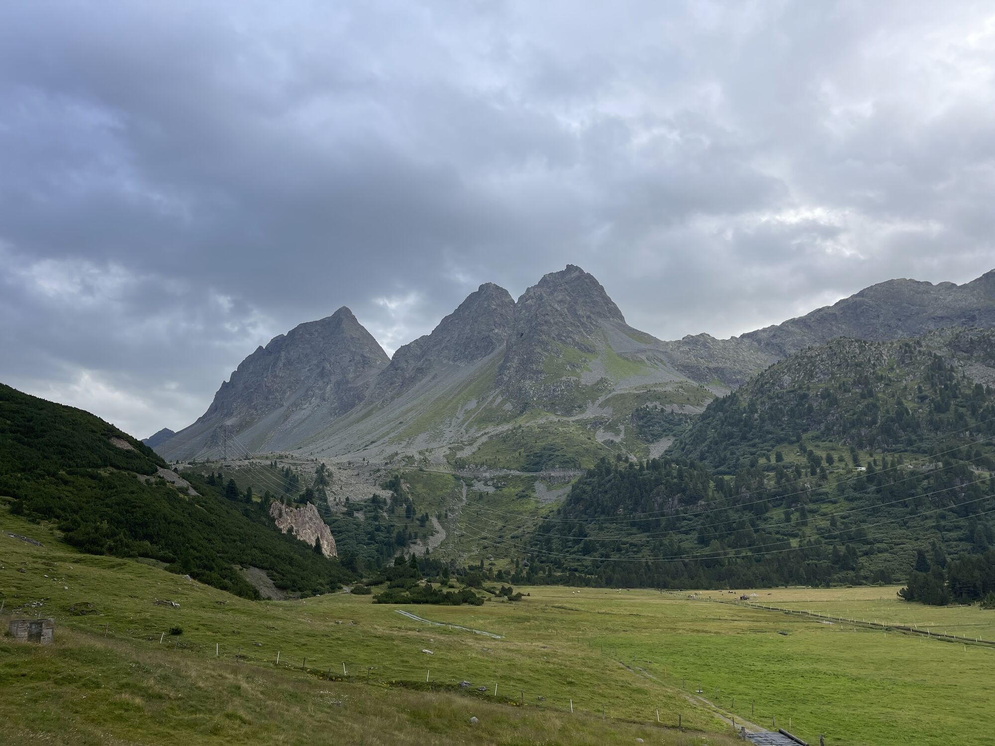
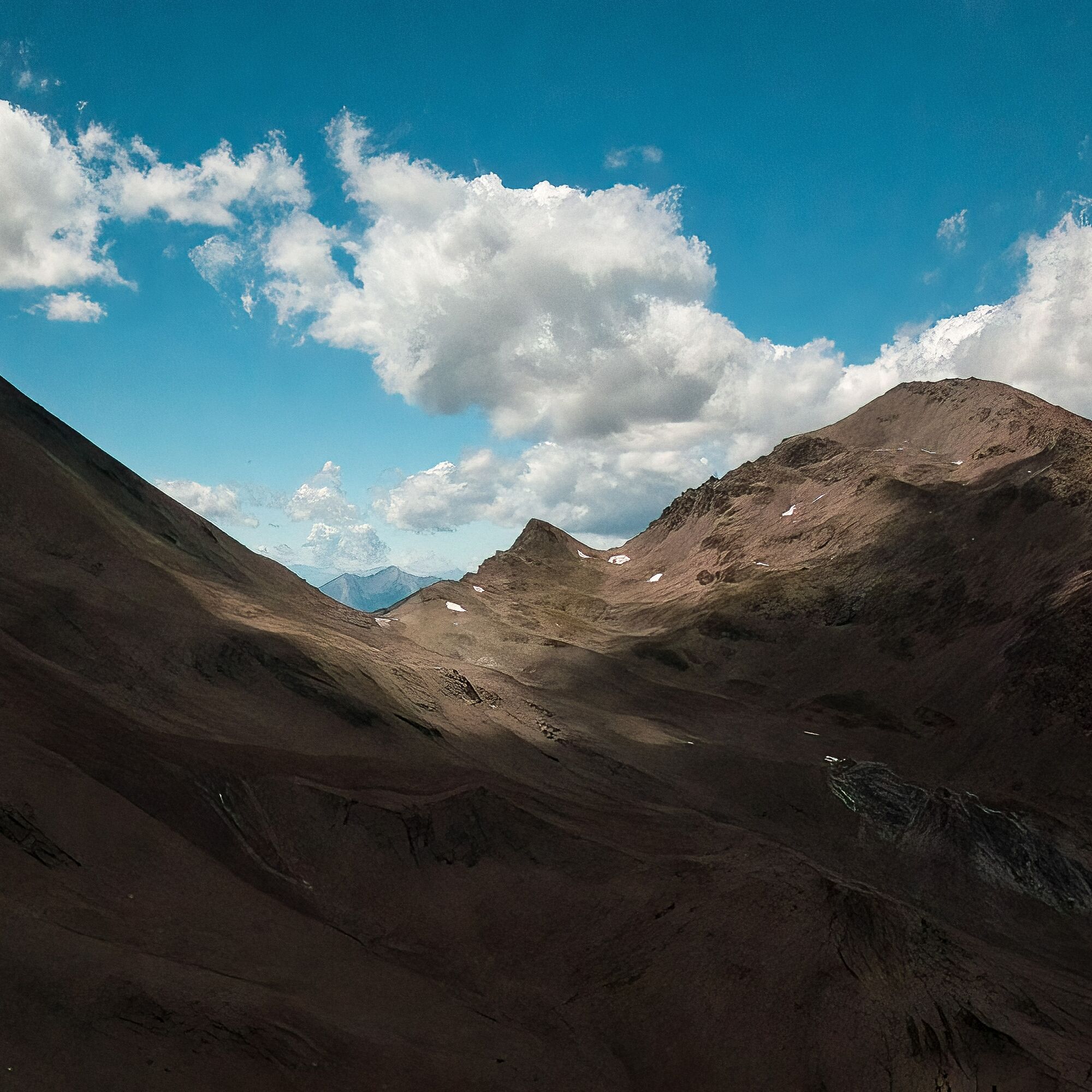
 © Daniel BulfoniVytvořeno dne 30.08.2022
 © Daniel BulfoniVytvořeno dne 30.08.2022
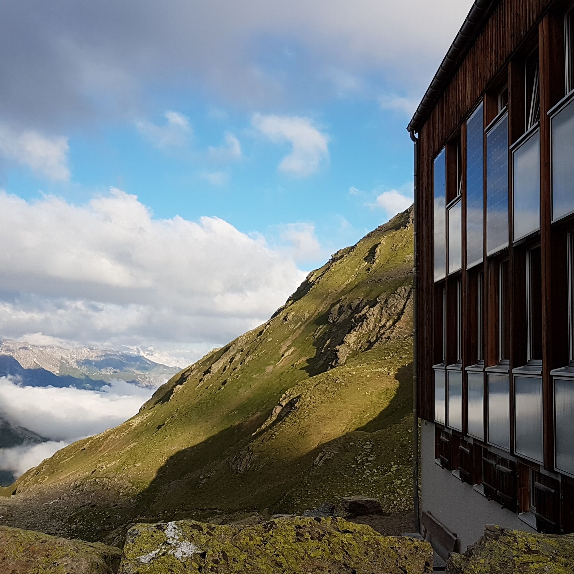
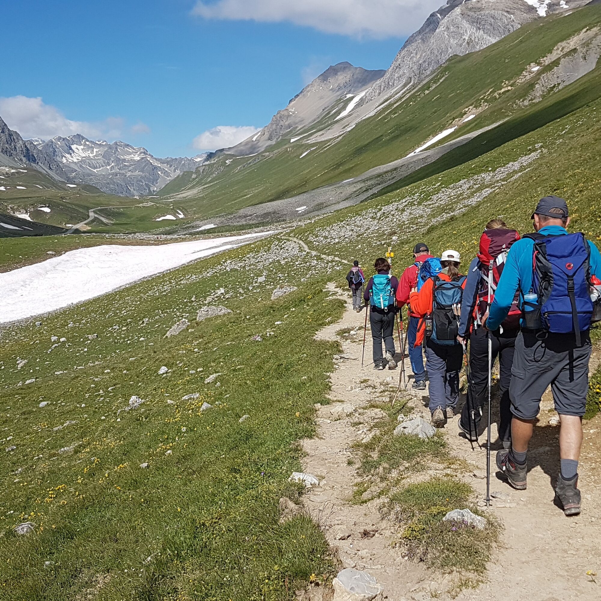
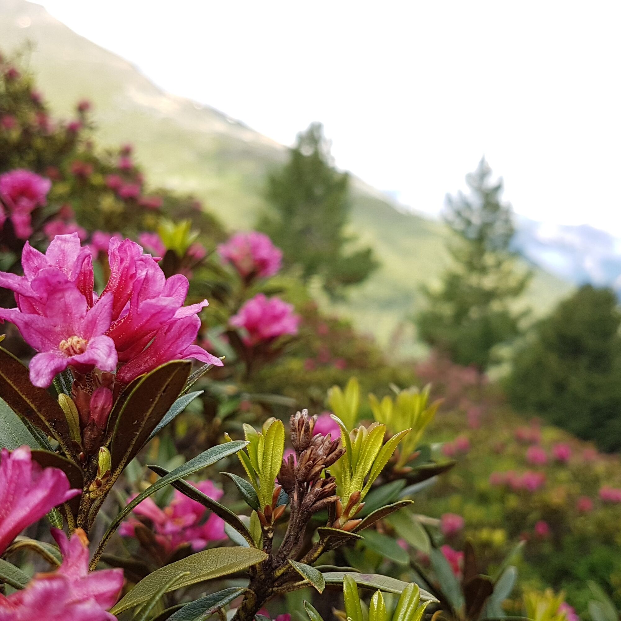
 © Jako KoelVytvořeno dne 20.09.2025
 © Jako KoelVytvořeno dne 20.09.2025
 © Jako KoelVytvořeno dne 20.09.2025
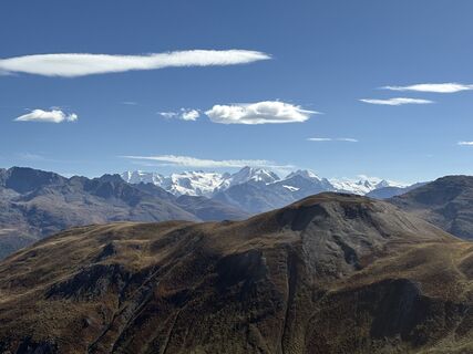 © Jako KoelVytvořeno dne 20.09.2025
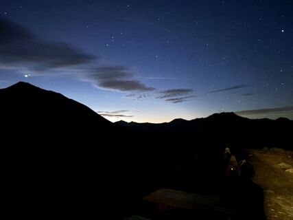 © Jako KoelVytvořeno dne 20.09.2025
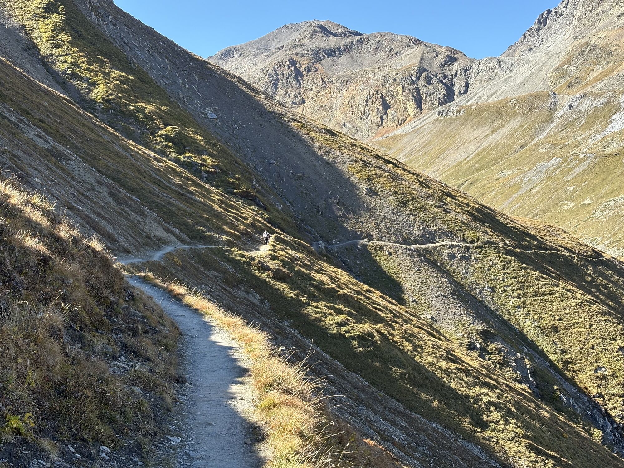
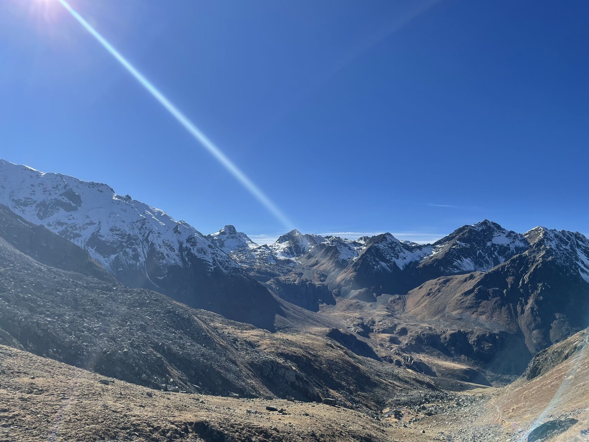
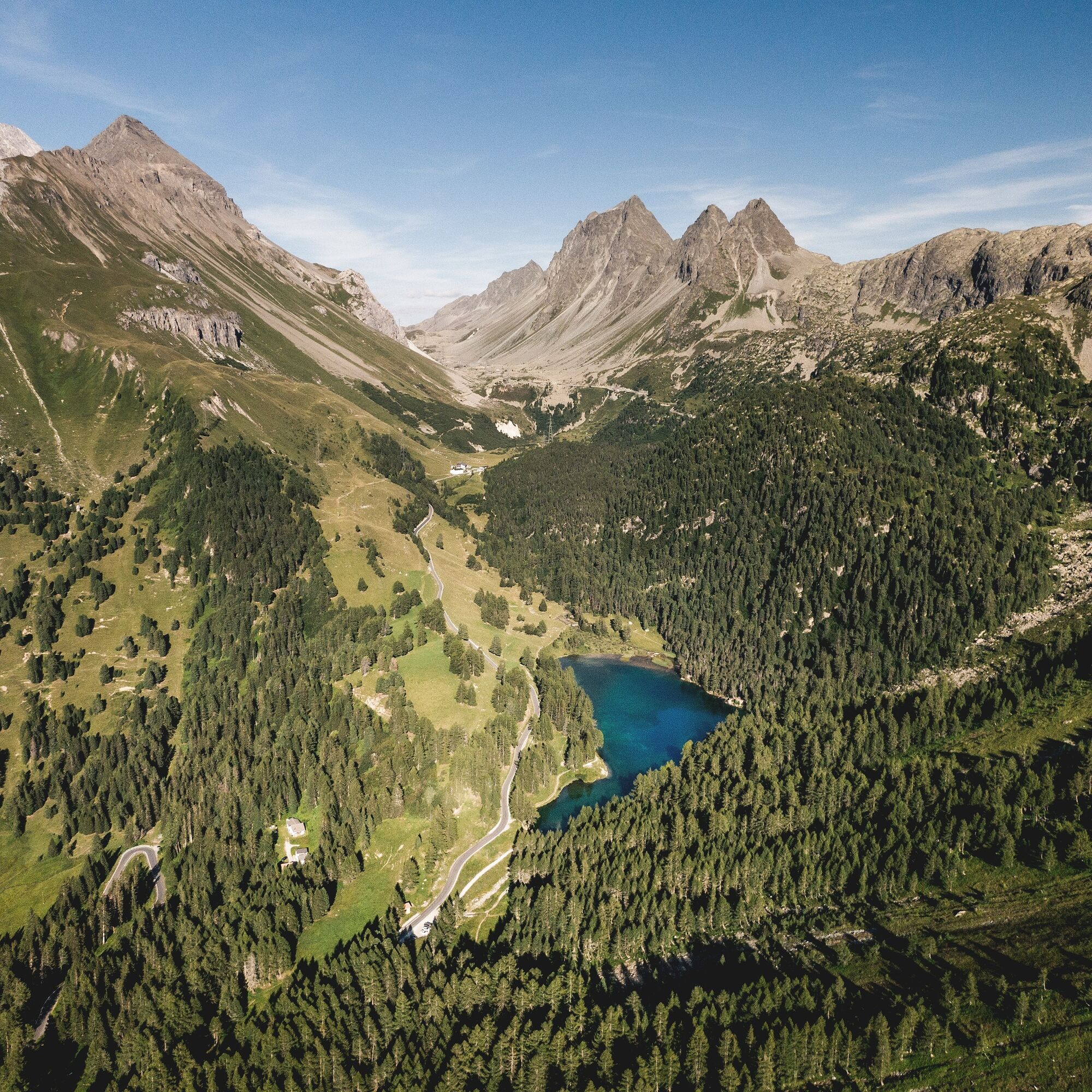
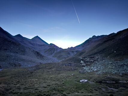 © Jako KoelVytvořeno dne 19.09.2025
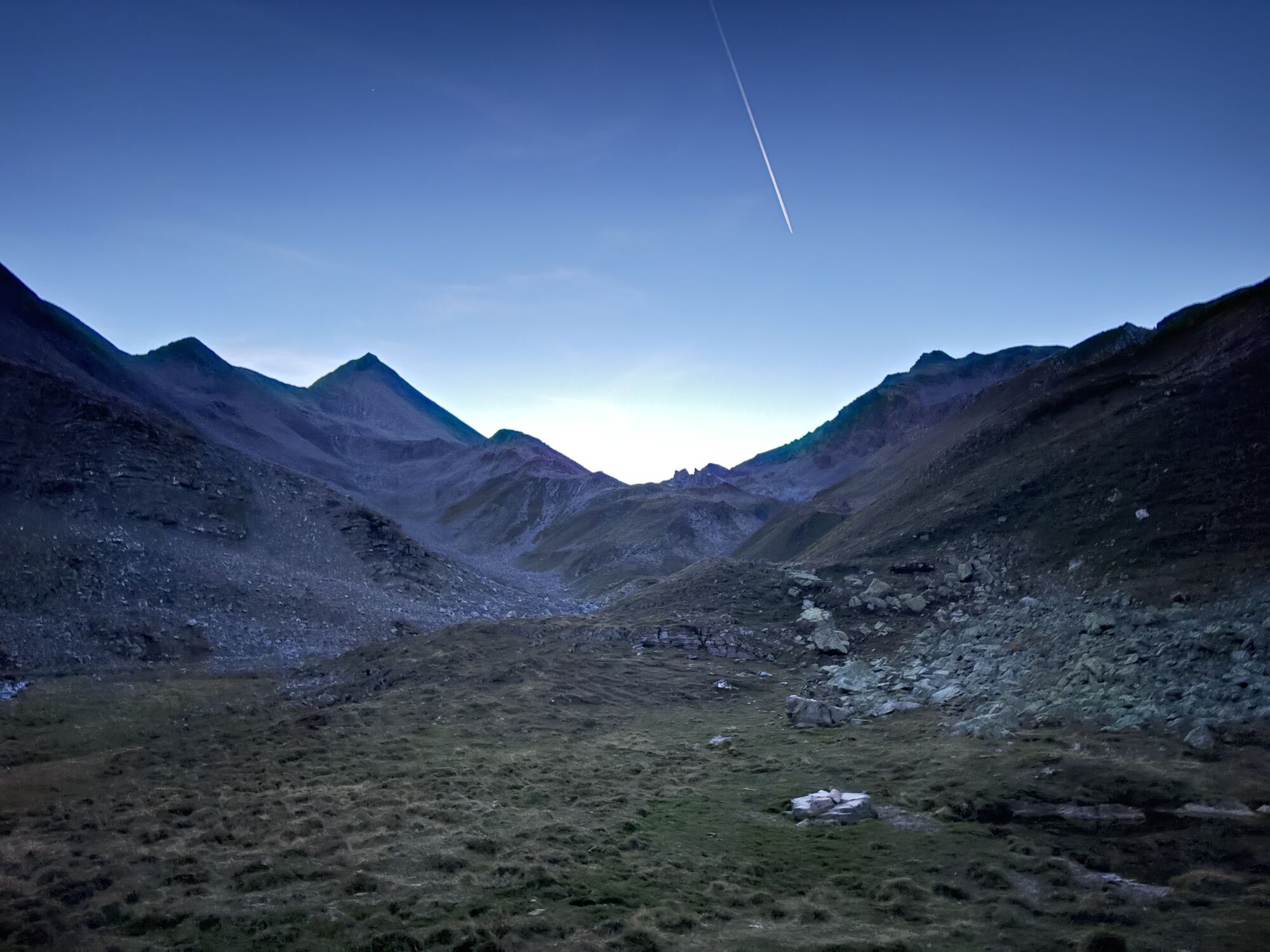
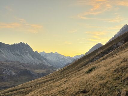 © Jako KoelVytvořeno dne 19.09.2025
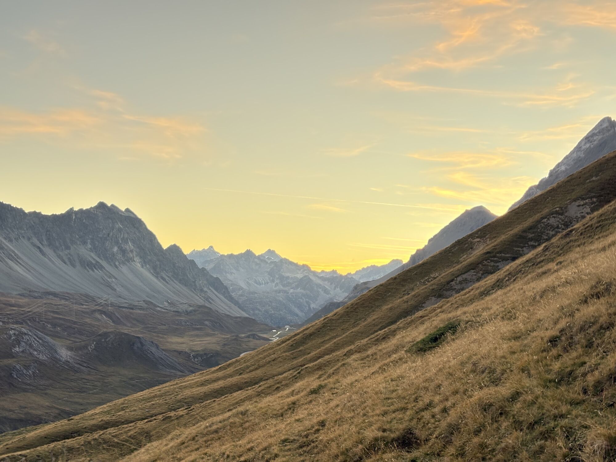
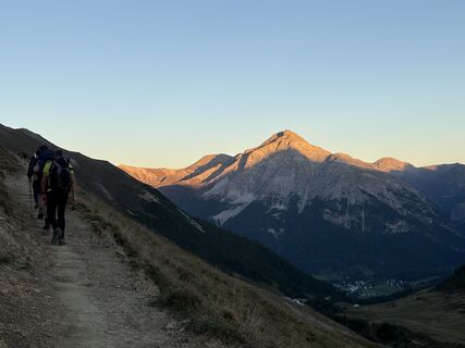 © Jako KoelVytvořeno dne 19.09.2025
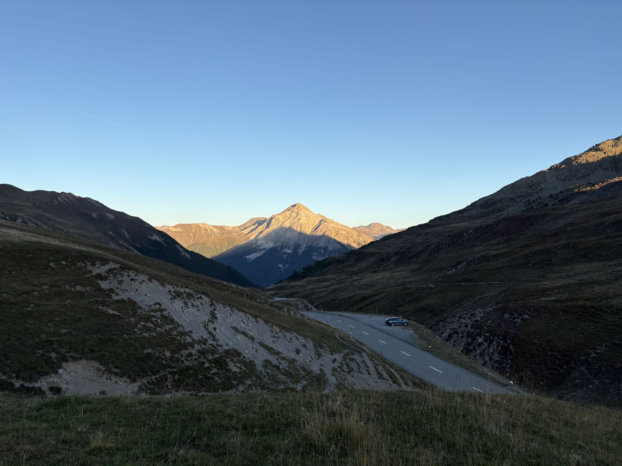
 © Jako KoelVytvořeno dne 19.09.2025
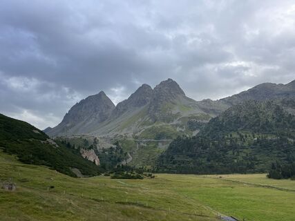
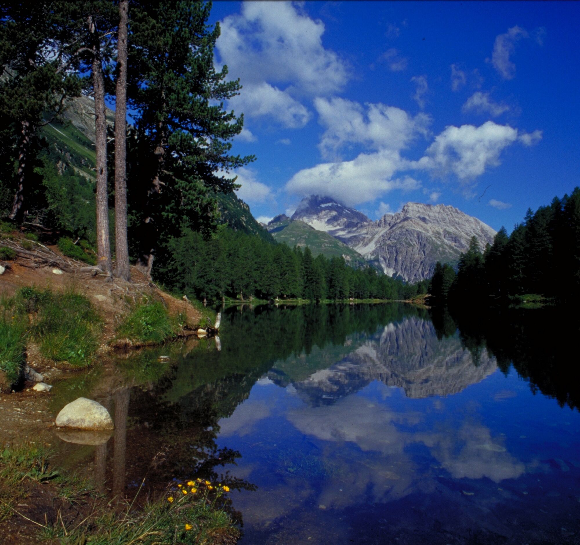
 © Thomas BodmerVytvořeno dne 01.08.2025
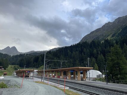 © Thomas BodmerVytvořeno dne 01.08.2025
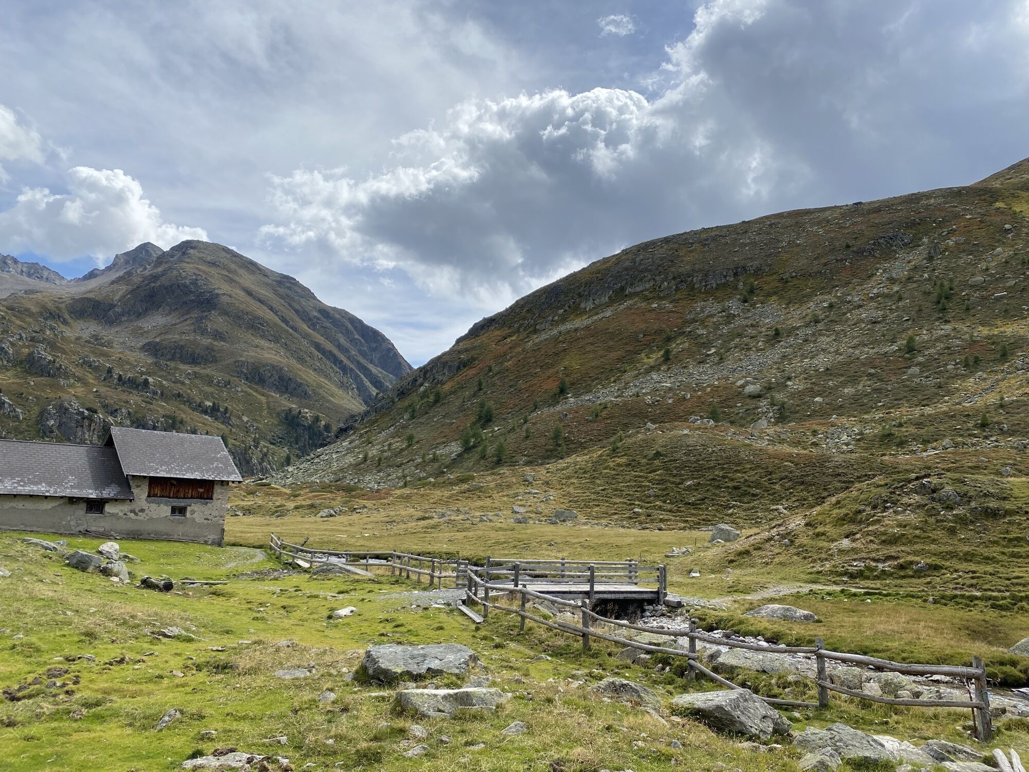
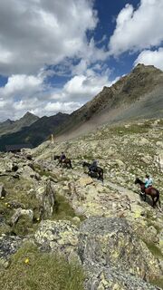 © Ruth GebhardVytvořeno dne 05.07.2025
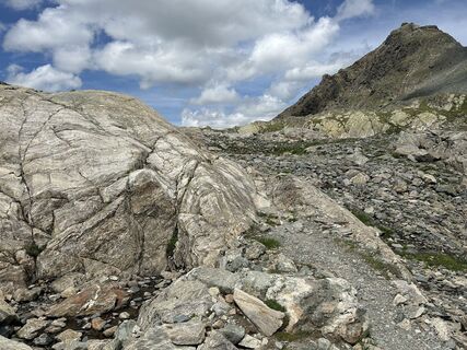 © Ruth GebhardVytvořeno dne 05.07.2025
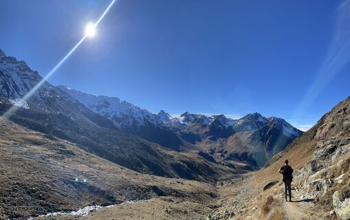
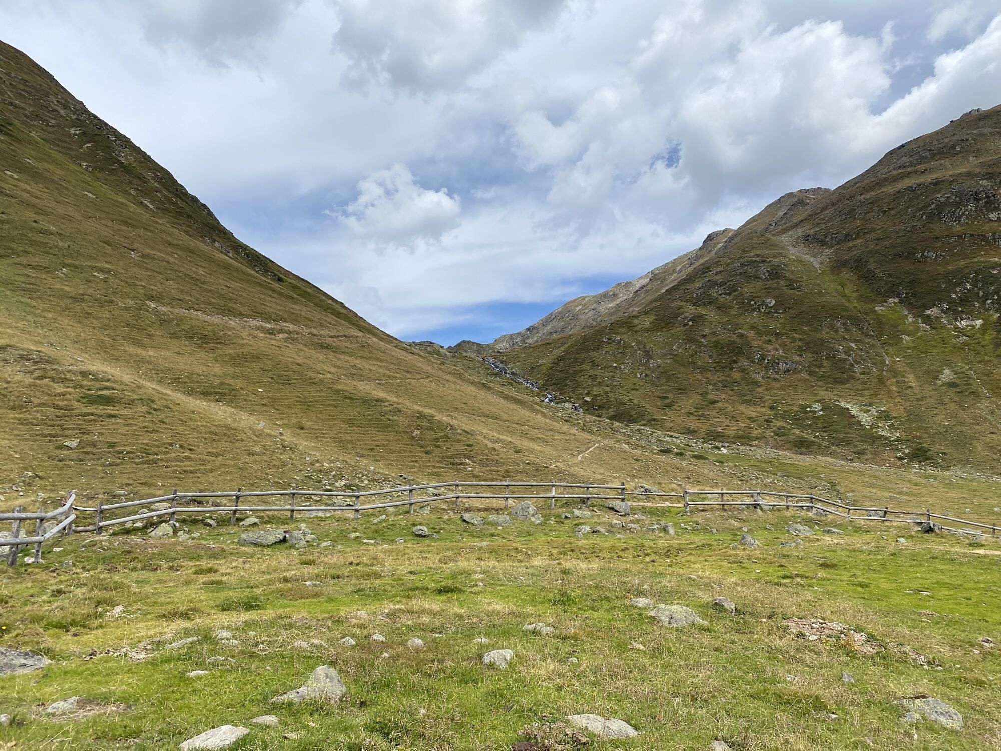
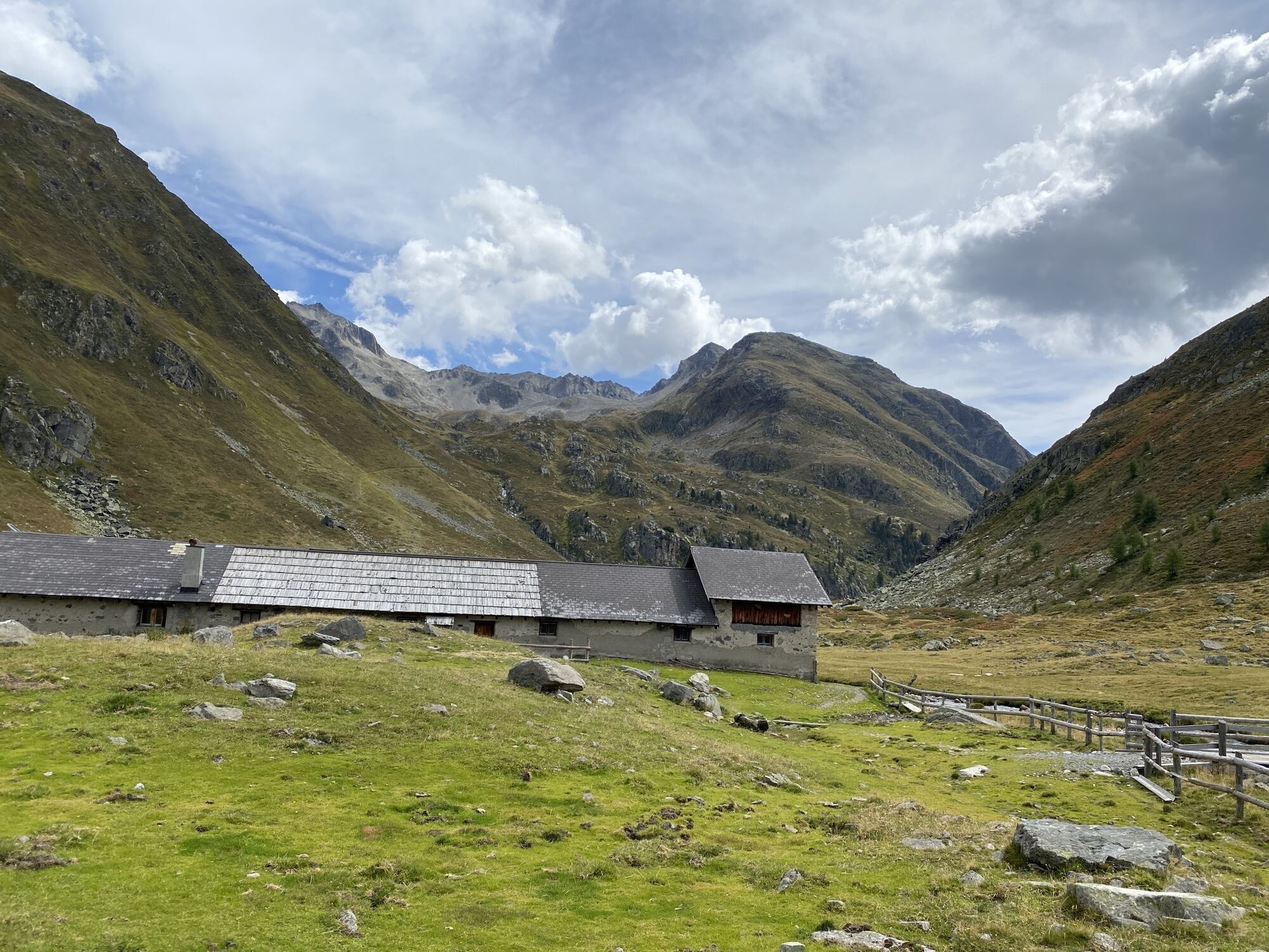
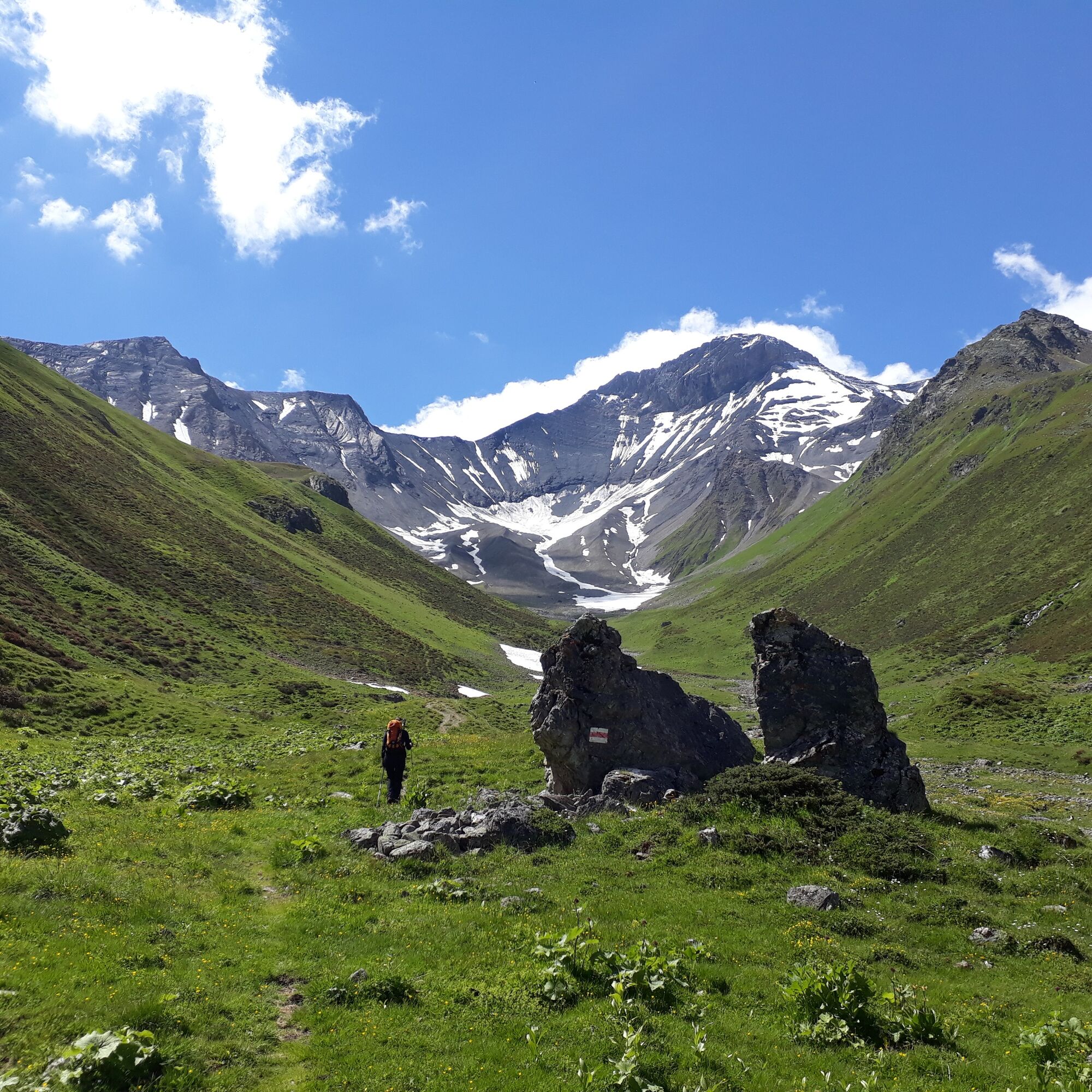
 © Csilla HanákVytvořeno dne 17.10.2022
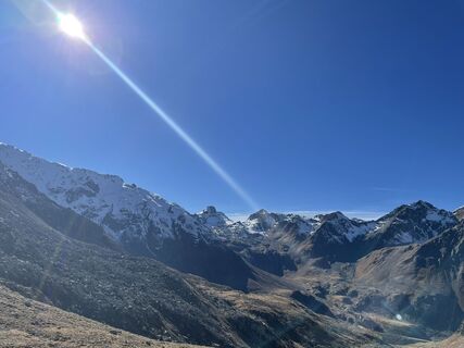 © Csilla HanákVytvořeno dne 17.10.2022
 © Csilla HanákVytvořeno dne 17.10.2022
 © Daniel BulfoniVytvořeno dne 30.08.2022
 © Daniel BulfoniVytvořeno dne 30.08.2022


On the way in the middle of the Graubünden mountains, leave everyday life in the valley. Experience the quiet and spectacular world of the high mountains on foot between Flüela and Albula. Book the 4-day...
Stages:
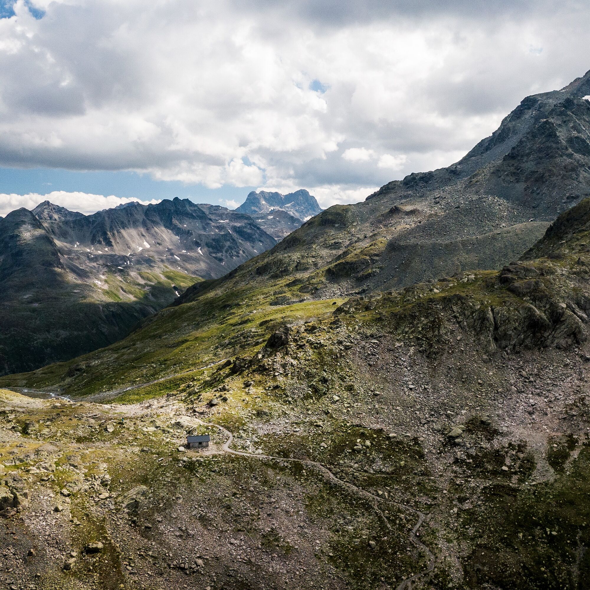
Stage 1: Flüela pass - Grialetsch hut SAC Stage 2: Grialetsch hut SAC- Kesch hut SAC Stage 3: Kesch hut SAC - Es-cha hut SAC Stage 4: Es-cha-Hütte SAC - Preda or Bergün

The Kesch trek is marked as a mountain hike in white-red-white. It uses the signposting of the existing hiking trails between Davos and Albula Valley.
Sturdy mountain boots, weatherproof and warm clothing, rain gear, food for the hiking stages (packed lunches can also be obtained in the huts), sufficient water, sun and head protection, first-aid kit, maps for orientation and possibly hiking poles.
The Kesch trek is an alpine mountain hike. The possible dangers in the high mountains must be properly assessed. The hiking stages require a good level of fitness.
By car to Davos Platz and from there by bus to the starting point on the Flüela Pass or Dürrboden.
From Landquart to Davos with the Rhaetian Railway. From Davos Platz and Davos Dorf take the bus in the direction of the Flüela Pass.
Parking lots in Bergün or Davos (chargeable)
The Kesch Trek can be booked as a package from the beginning of July to the end of September.
Die Highlights des Kesch-Treks.
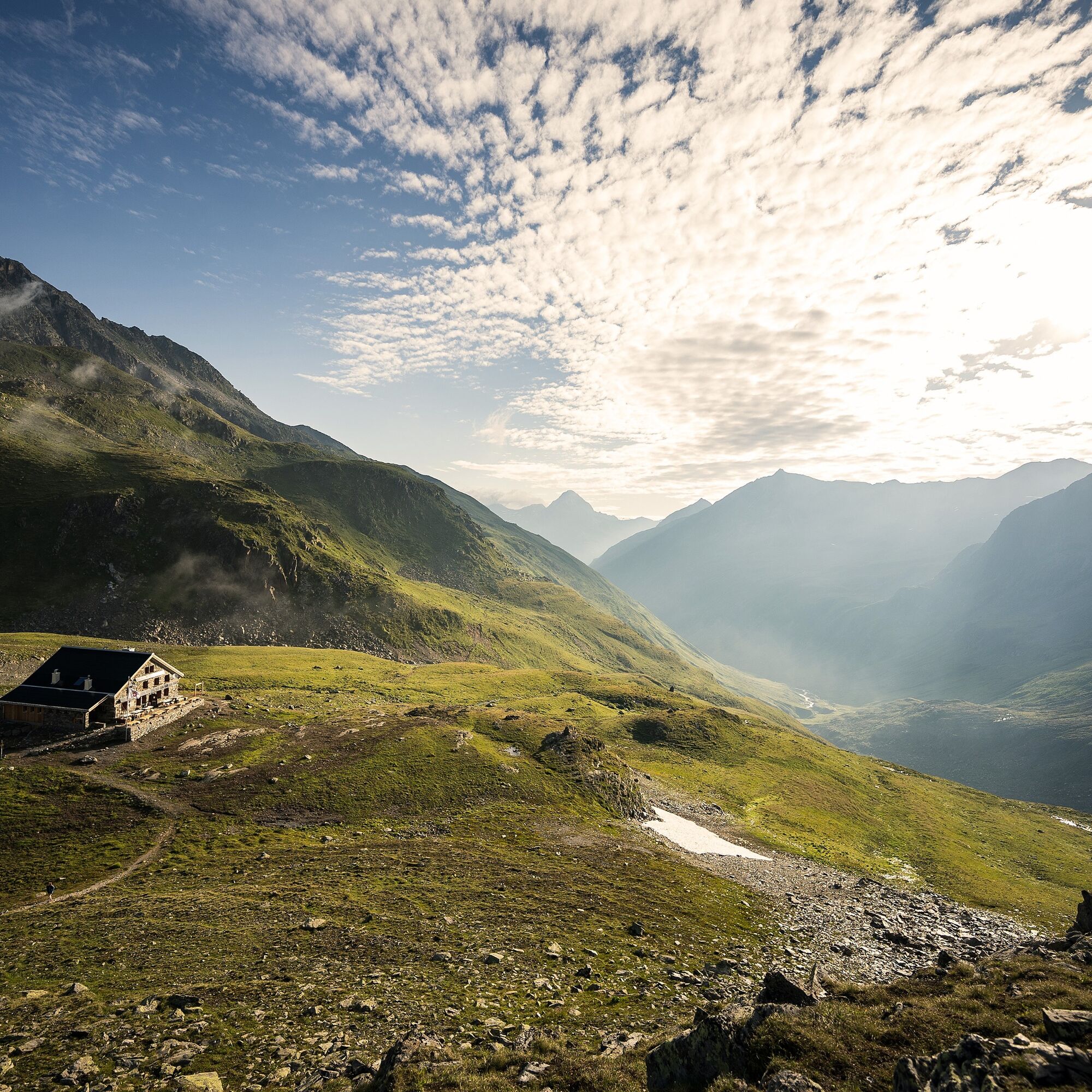
Grialetsch-Hütte SAC
Scalettapass
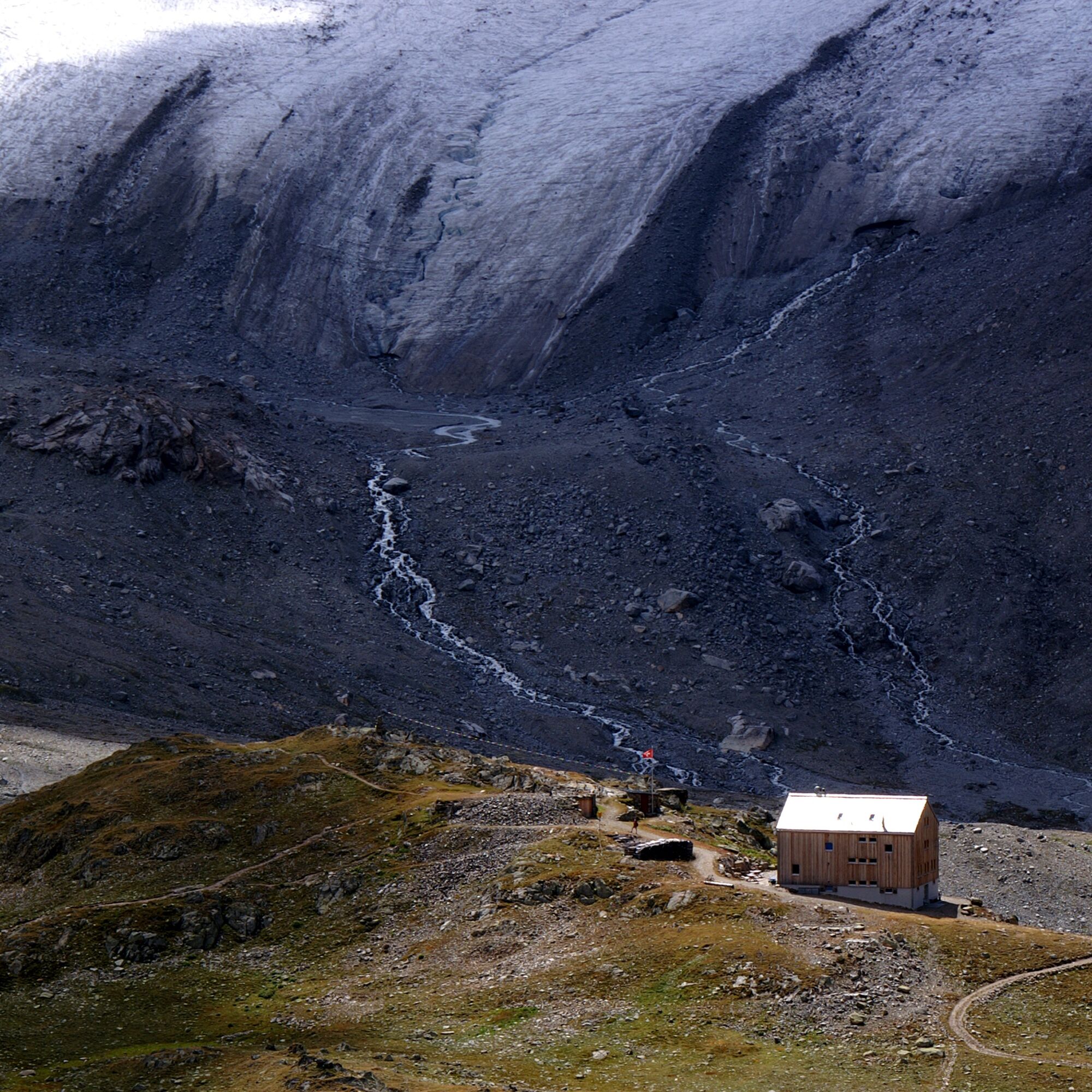
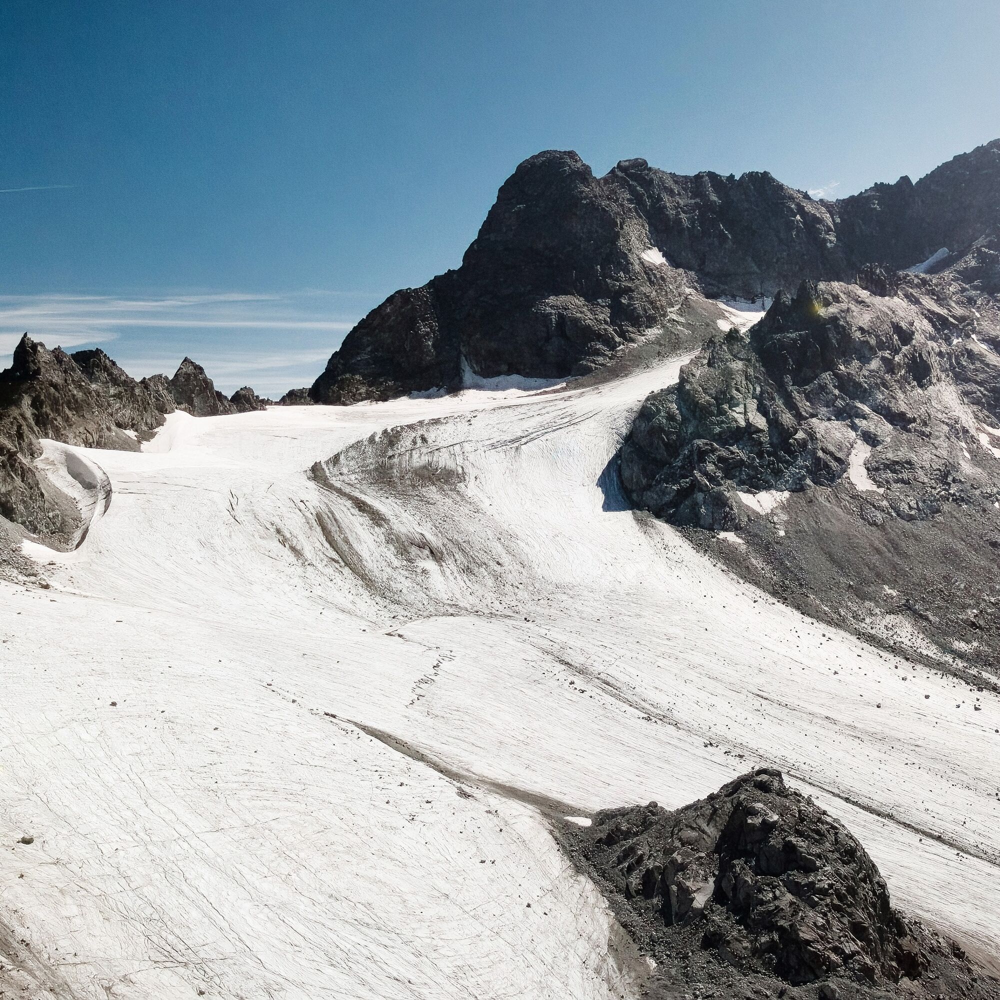
Piz Kesch und Porchella Gletscher
Fuorcla Pischa
Palpuogna See
Oblíbené prohlídky v okolí
- 4.8
Circular hike Val Trupchun in the Swiss National Park
středníTuristika 13.8 km - 5.0
Fluela Schwarzhorn 3147 m
světloVysokohorská turistika 7.34 km - 5.0
Lej Muragl
středníTuristika 7.39 km Flüelapass – Schwarzhorn (return)
středníTuristika 7.92 km- 4.0
Bernina Trek classic: Stage 1 Madulain-Chamanna d'Es-cha
středníTuristika 5.83 km - 3.0
Flüela – Chamanna Grialetsch
středníTuristika 10.9 km Panoramaweg Darlux
středníTuristika 9.42 kmPiz Ot
heavyVysokohorská turistika 14.5 km- 3.0
Madulain - Es-cha Hut
heavyTuristika 16.2 km - 4.0
Kesch-Trek stage 2
středníTuristika 12.9 km
Pěší turistika a stopování


Nenechte si ujít nabídky a inspiraci pro vaši příští dovolenou
Vaše e-mailová adresa byl přidán do poštovního seznamu.