


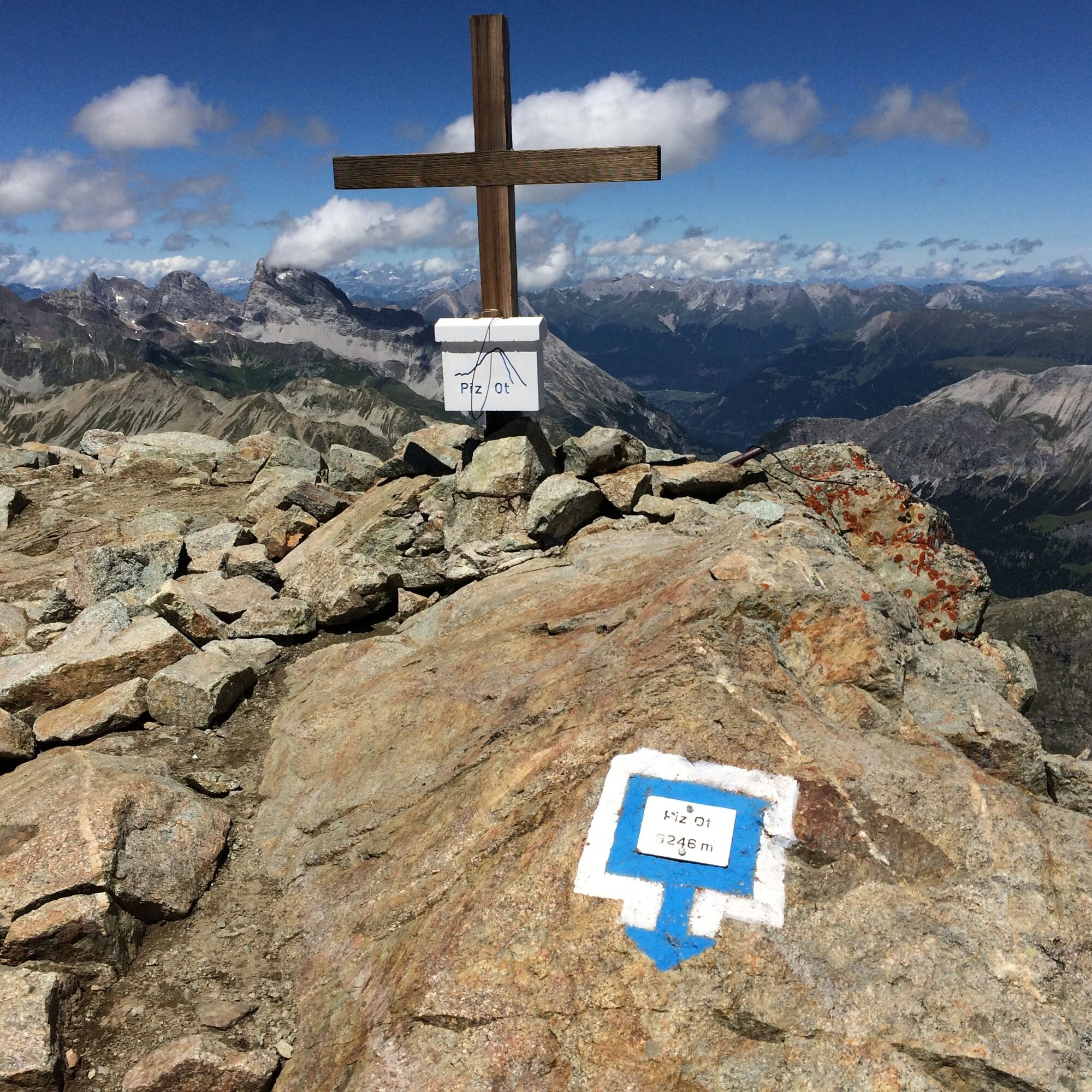
Piz Ot
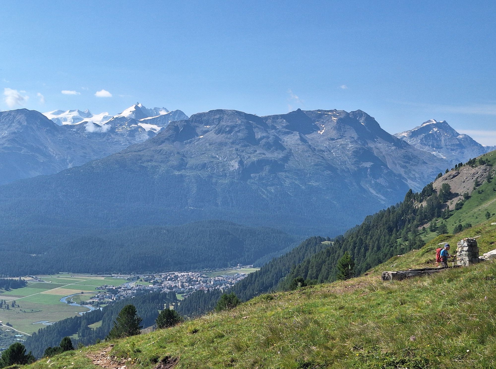
From Samedan, first through the village to the valley station of the Survih ski lift, then in increasingly steep zigzags up to Alp Munt. It is flatter through the Valletta valley until, at point 2583,...
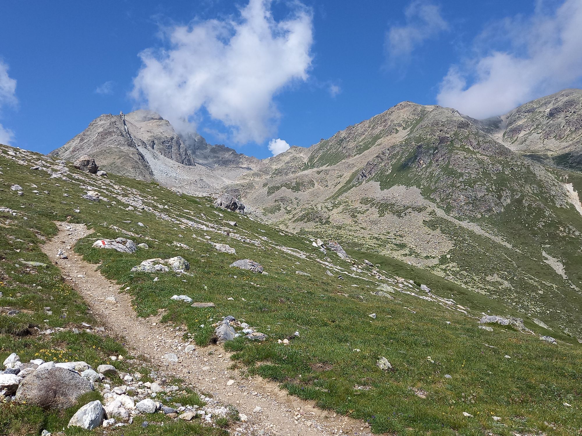
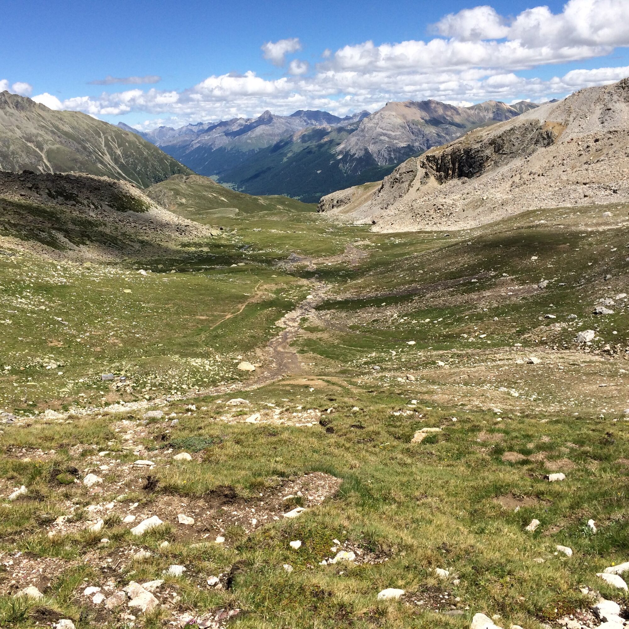
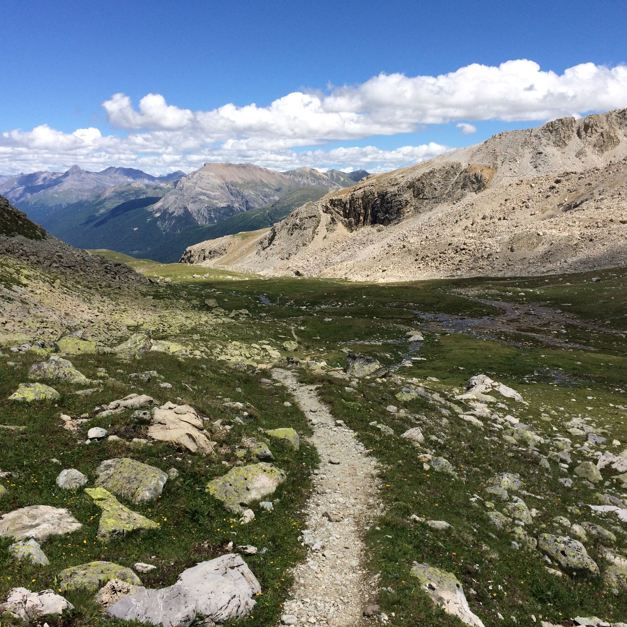
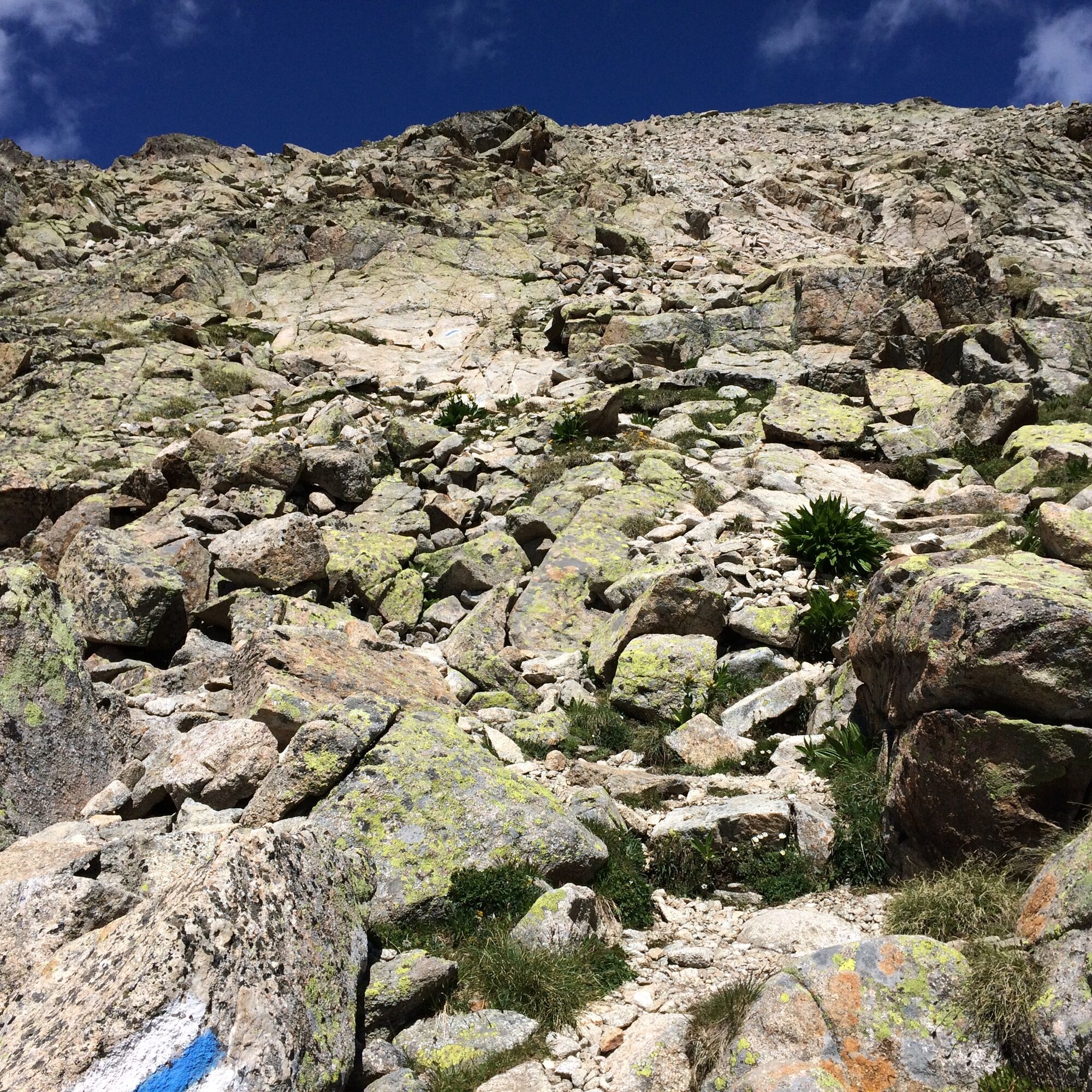
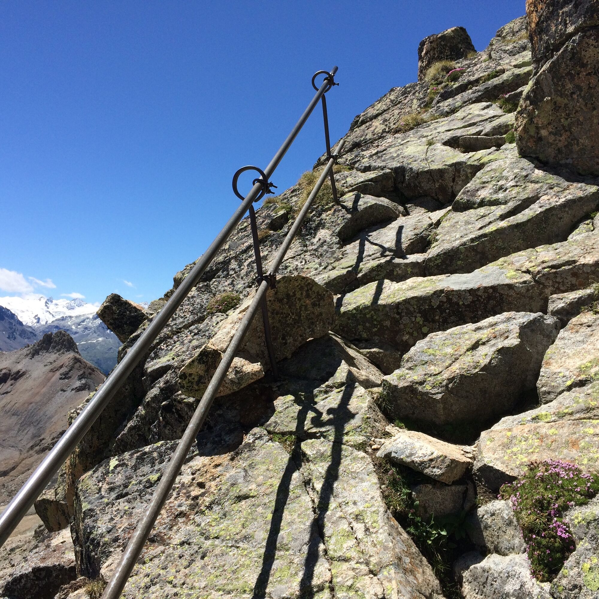
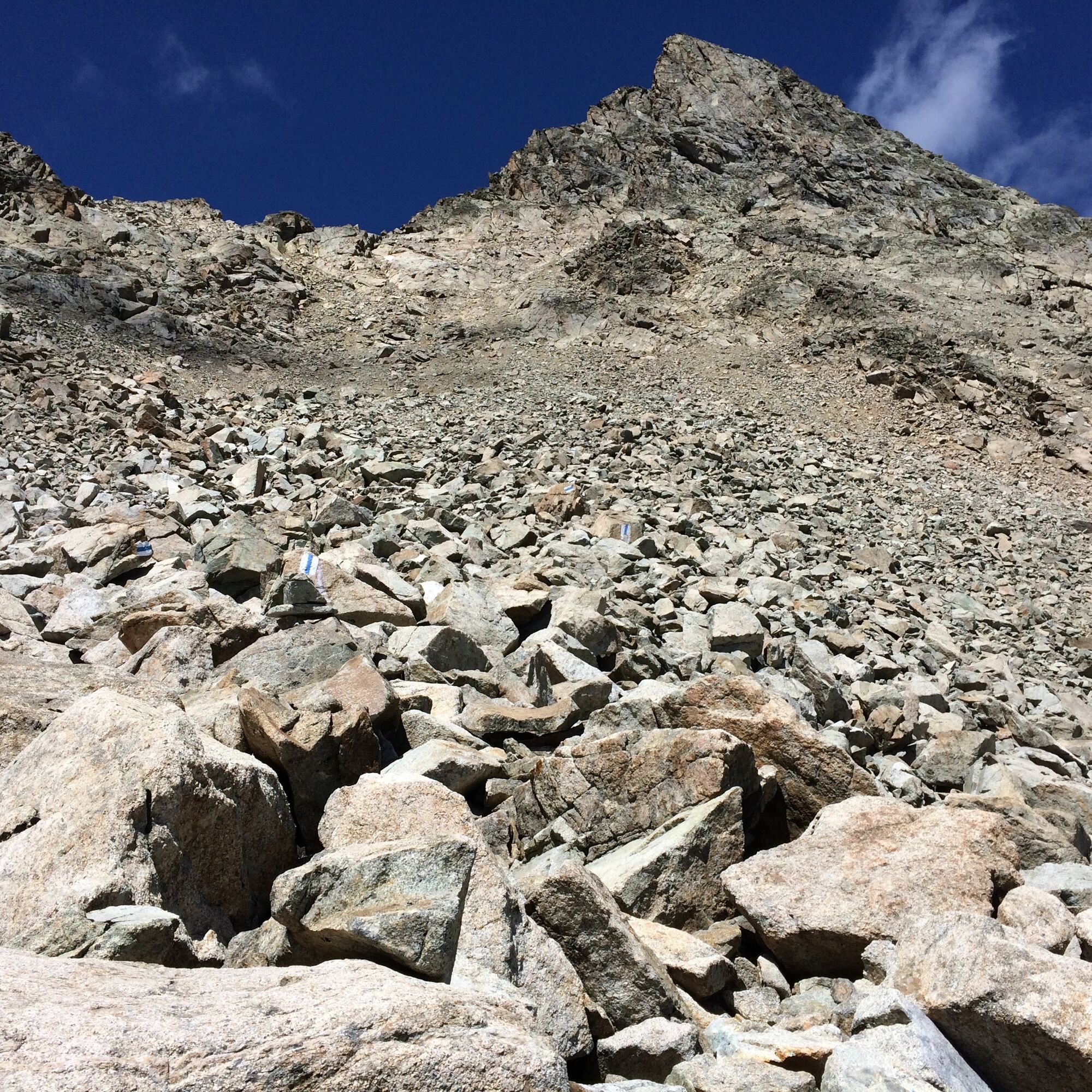
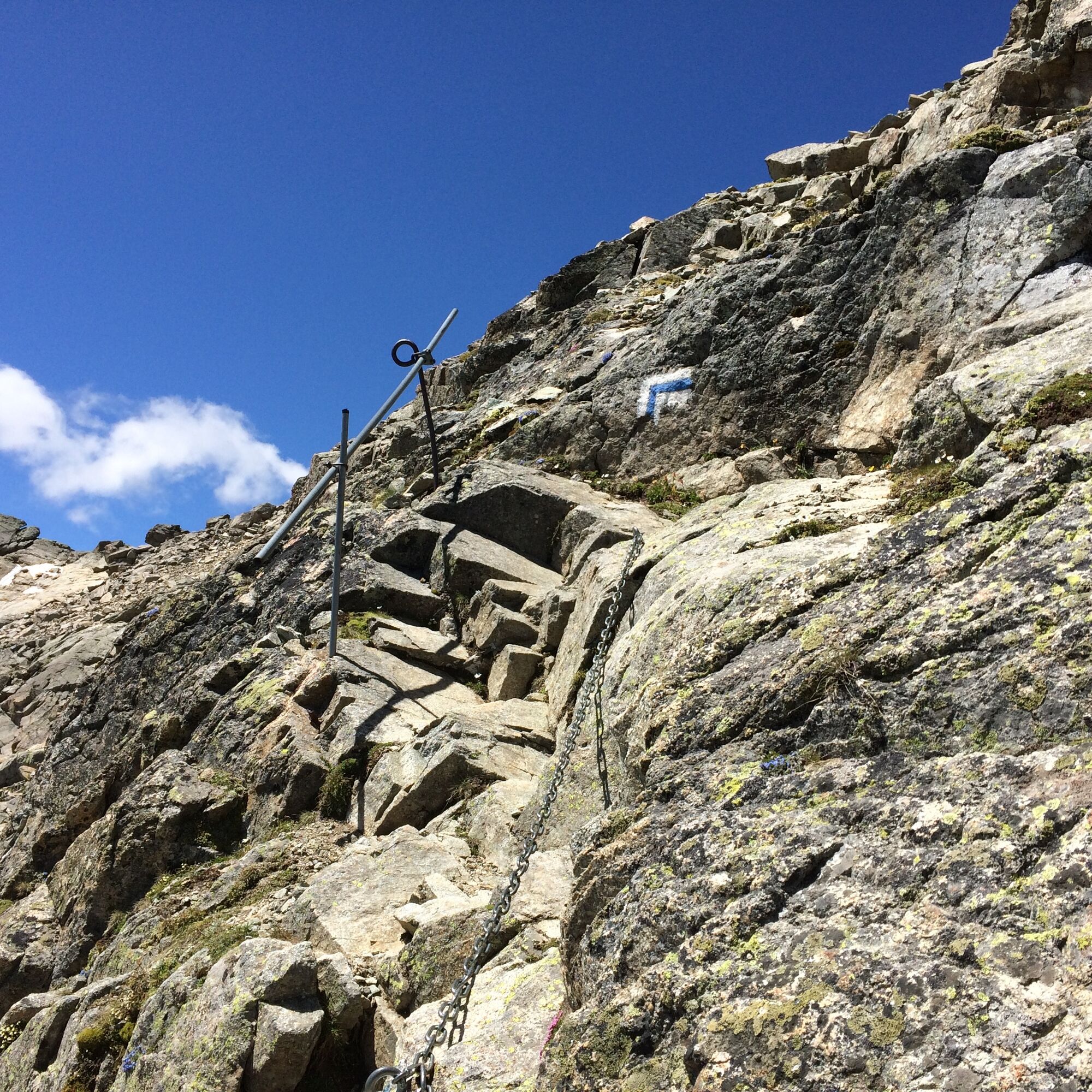
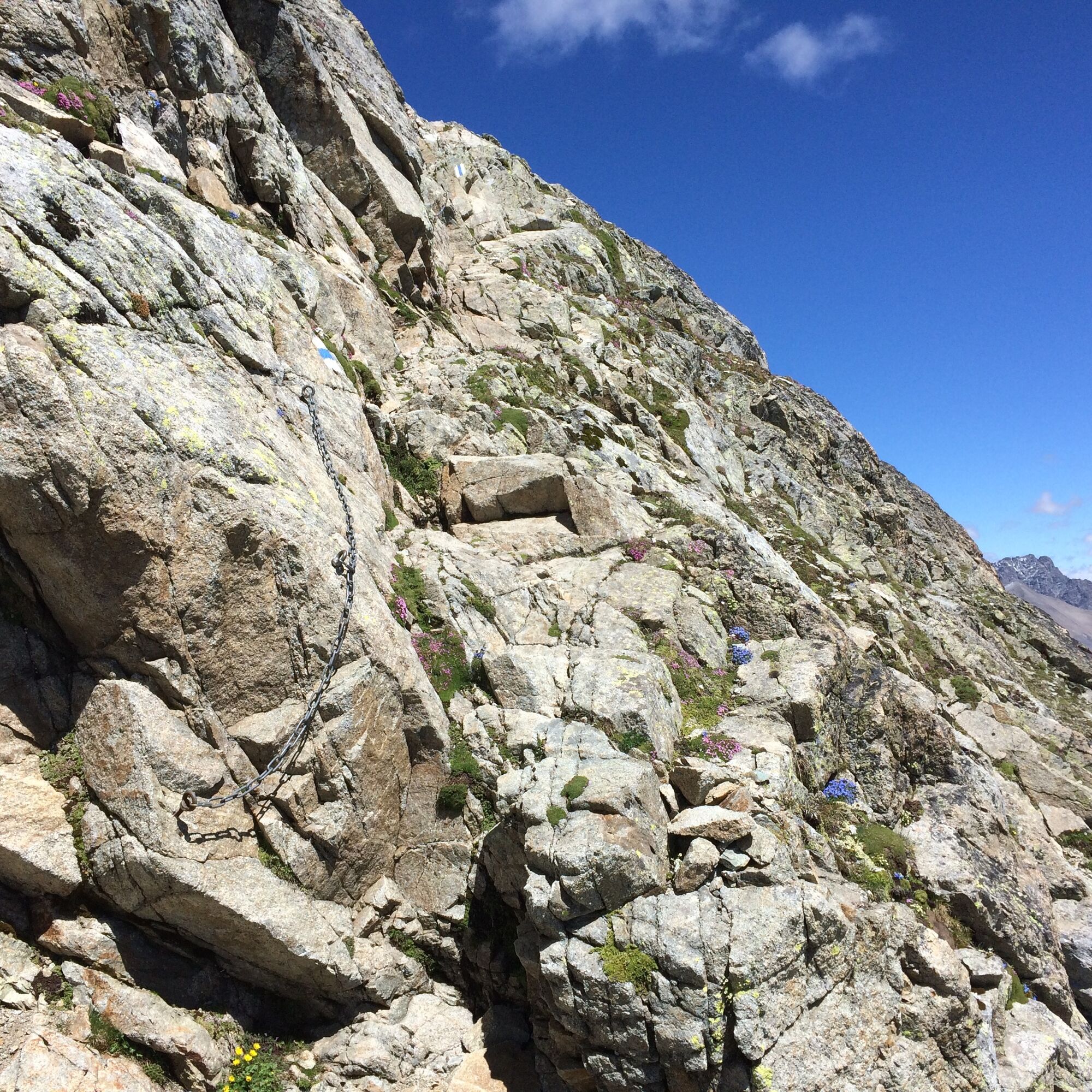
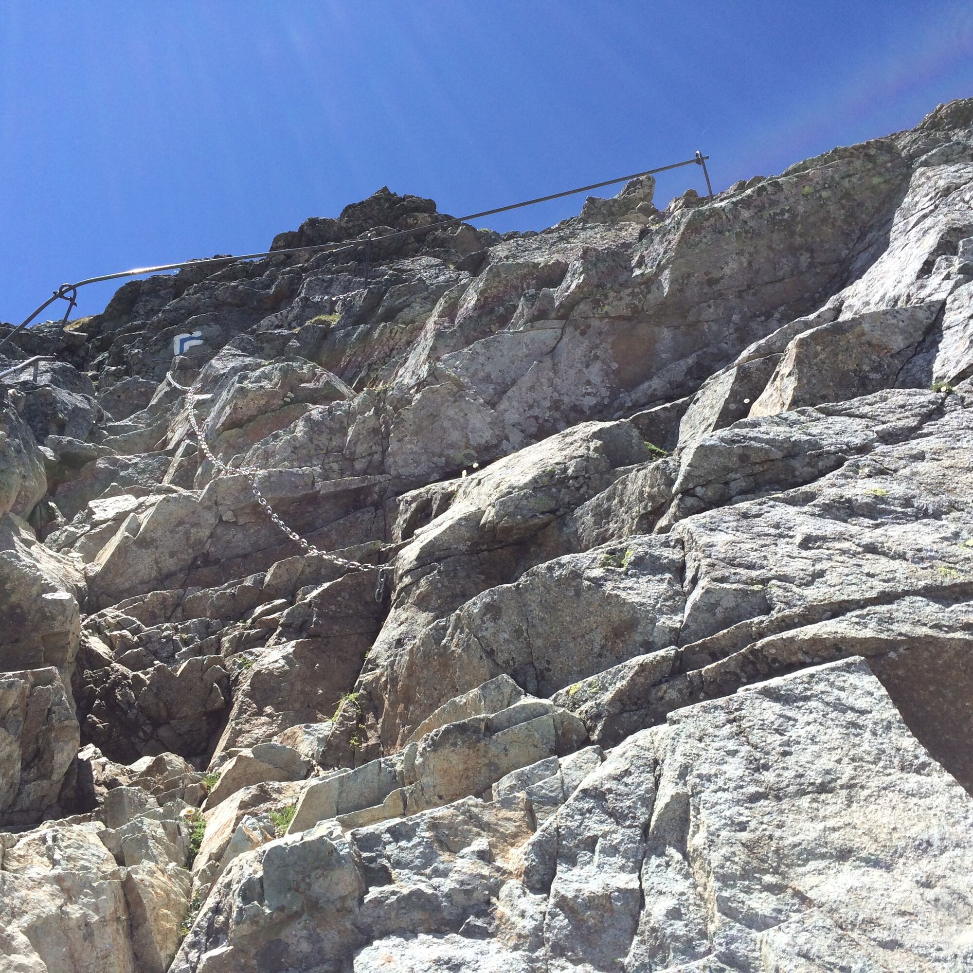
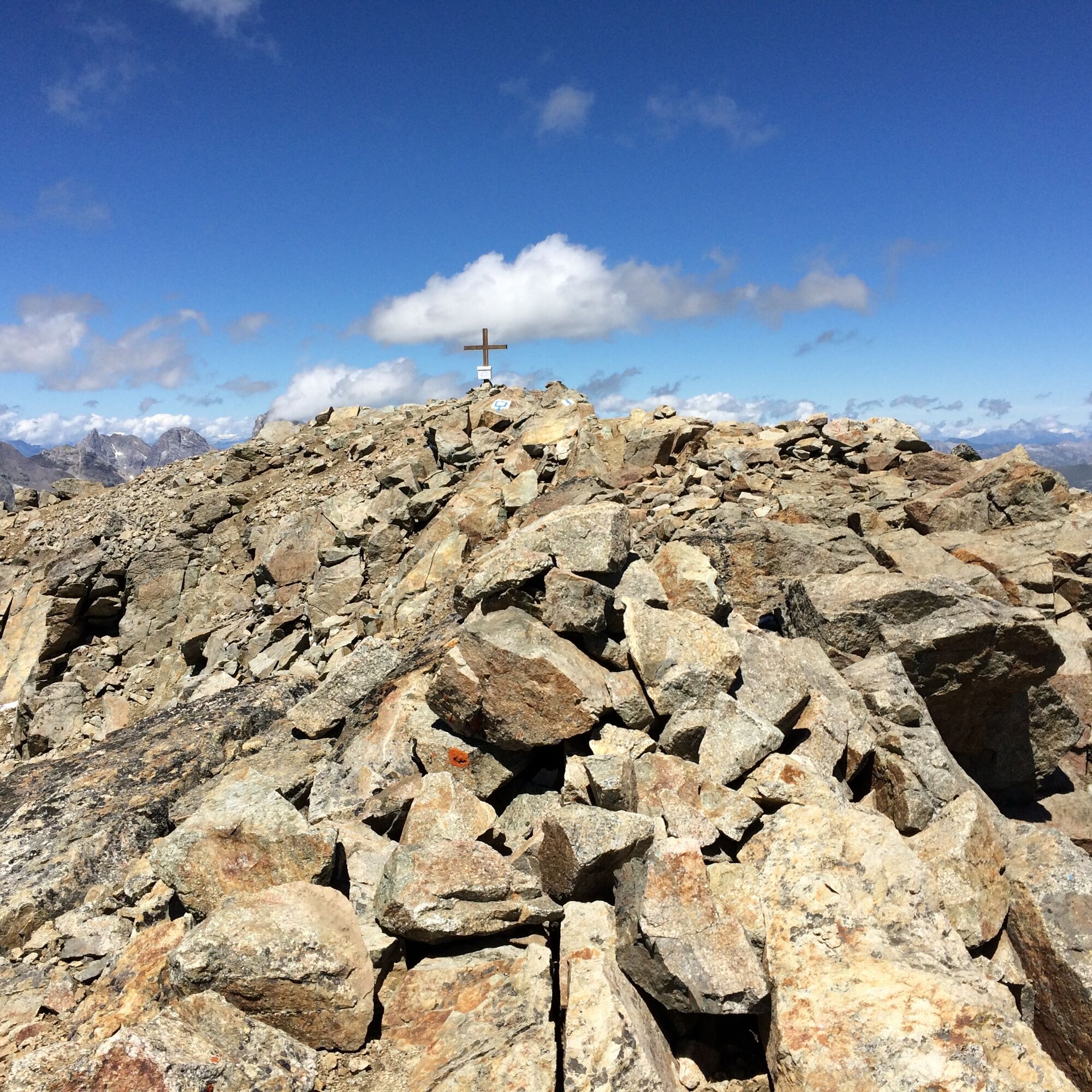
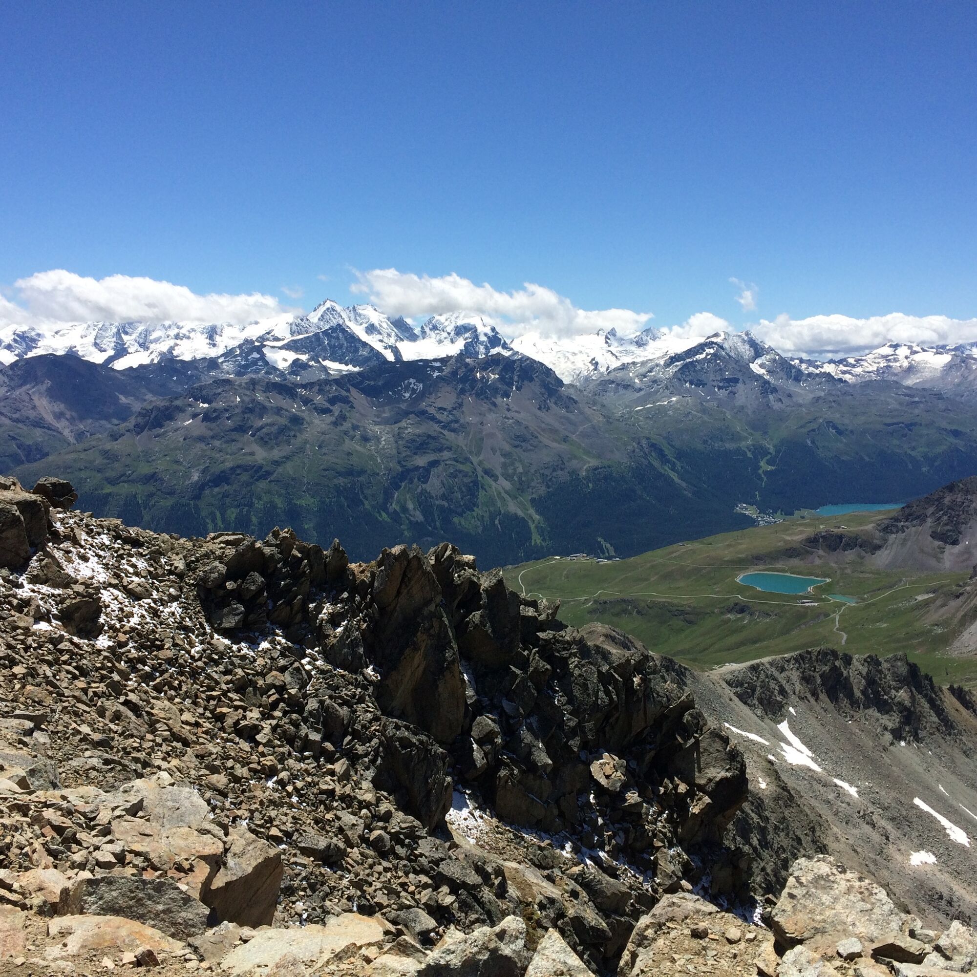
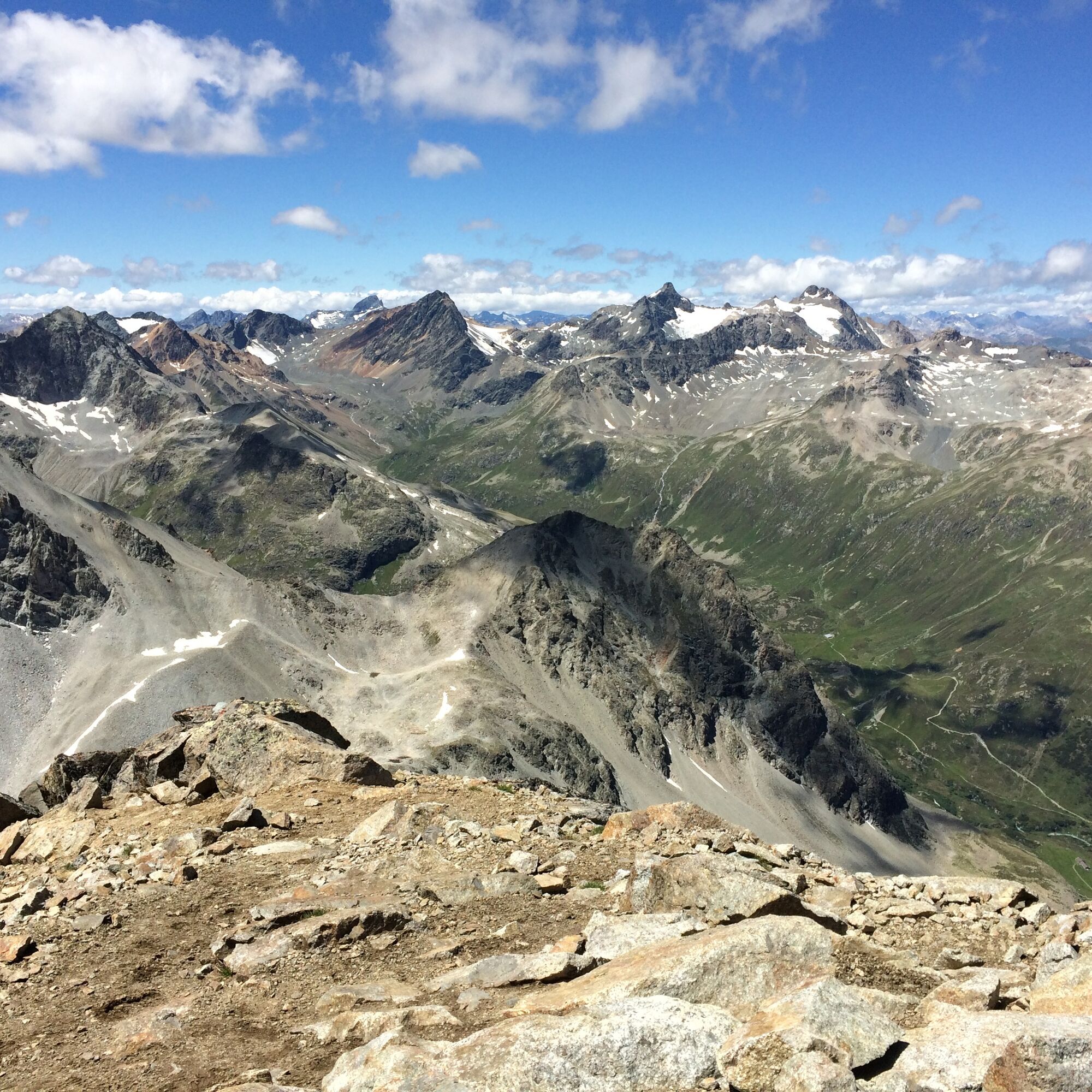
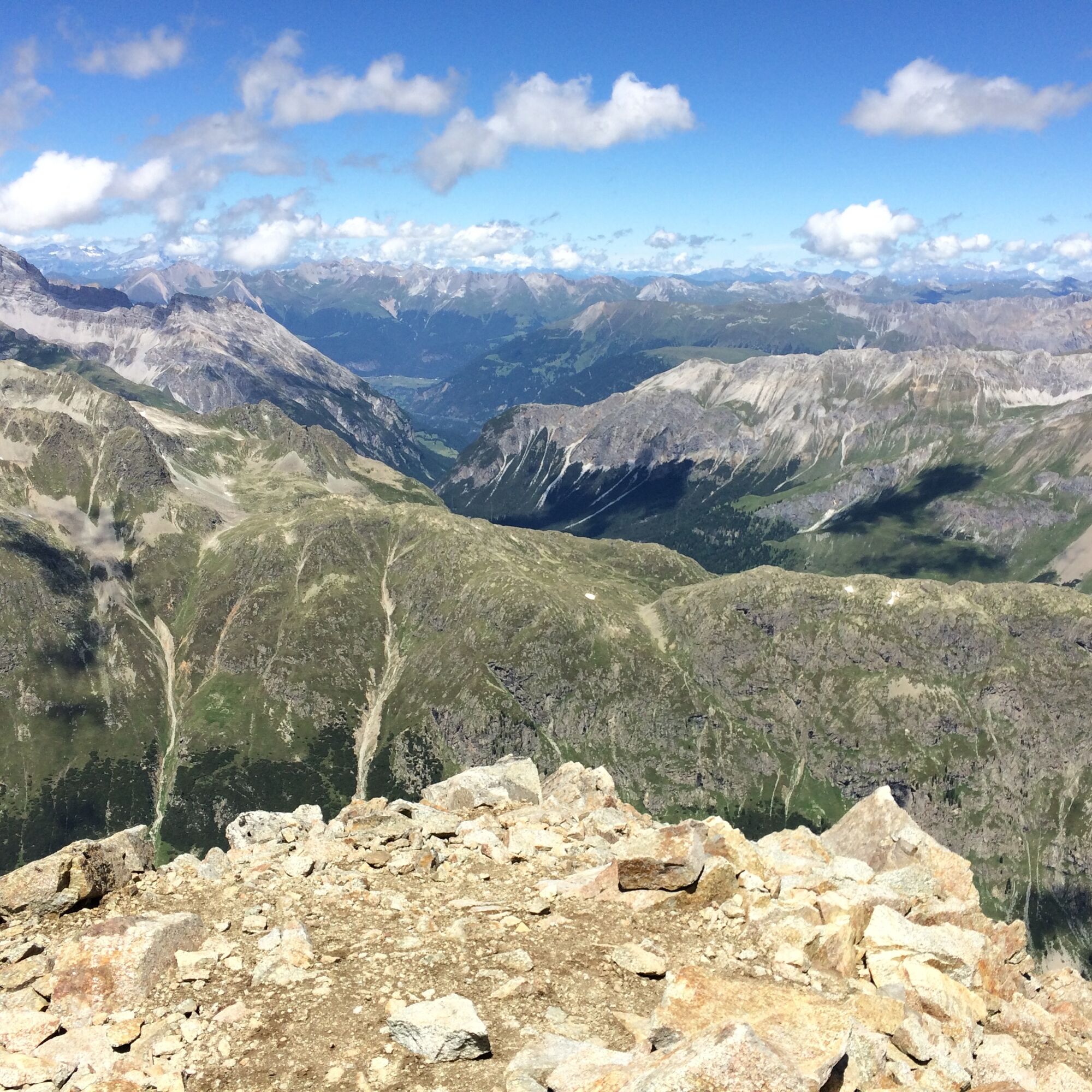
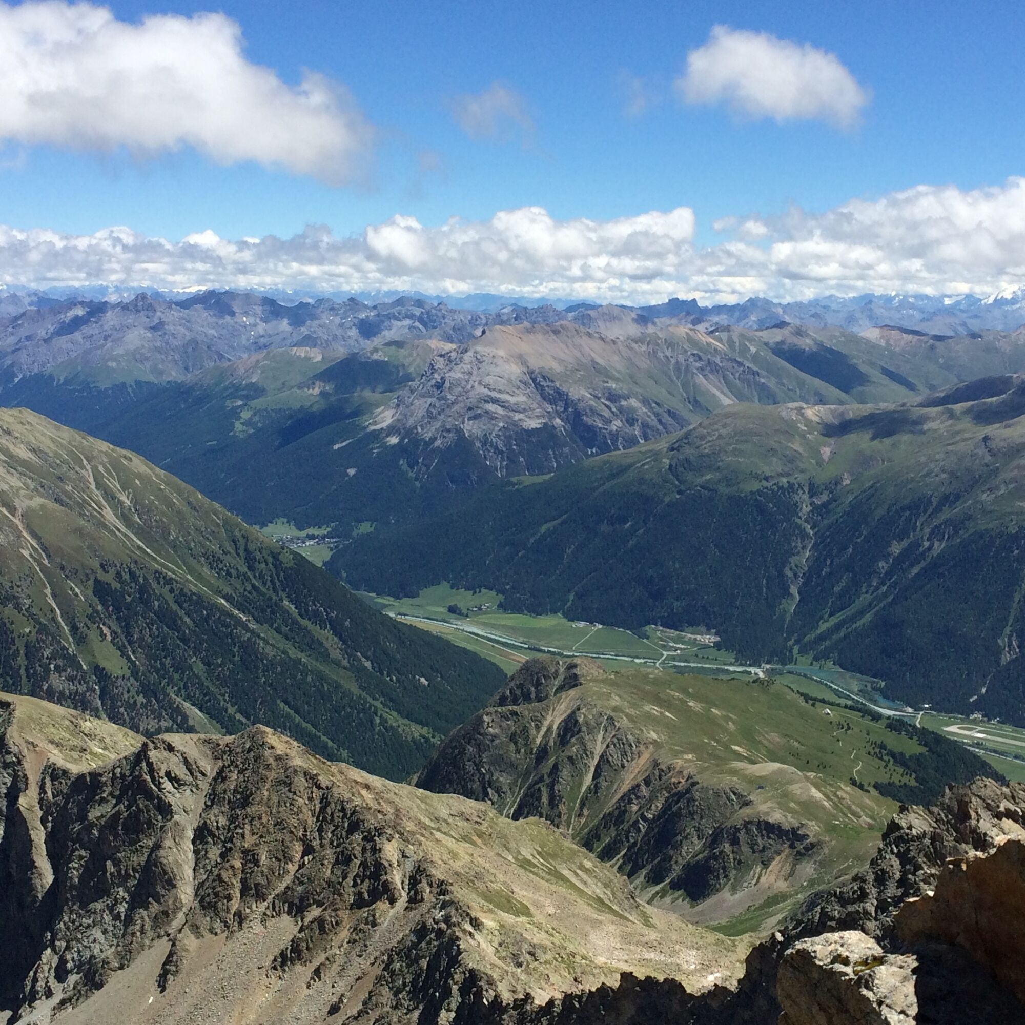
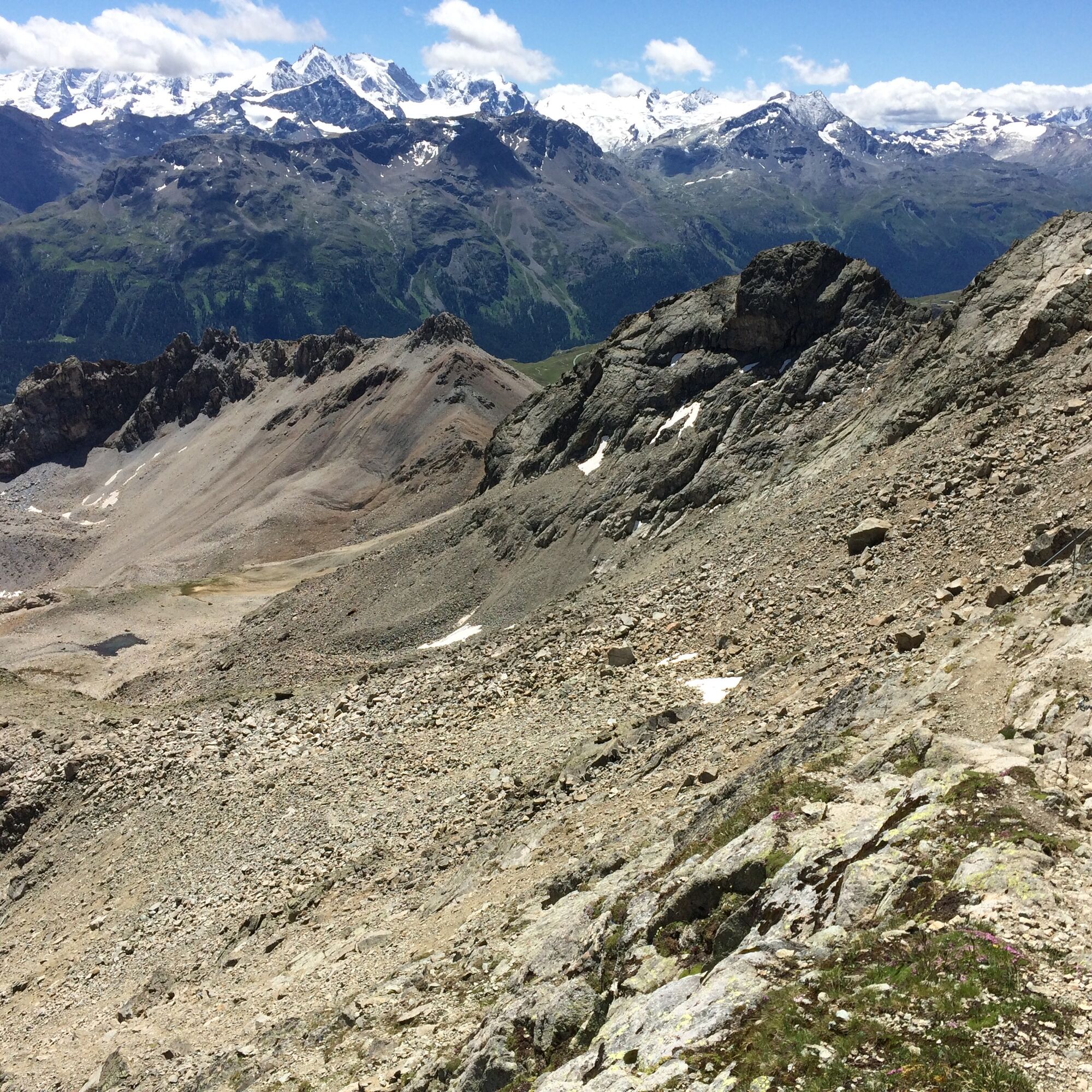
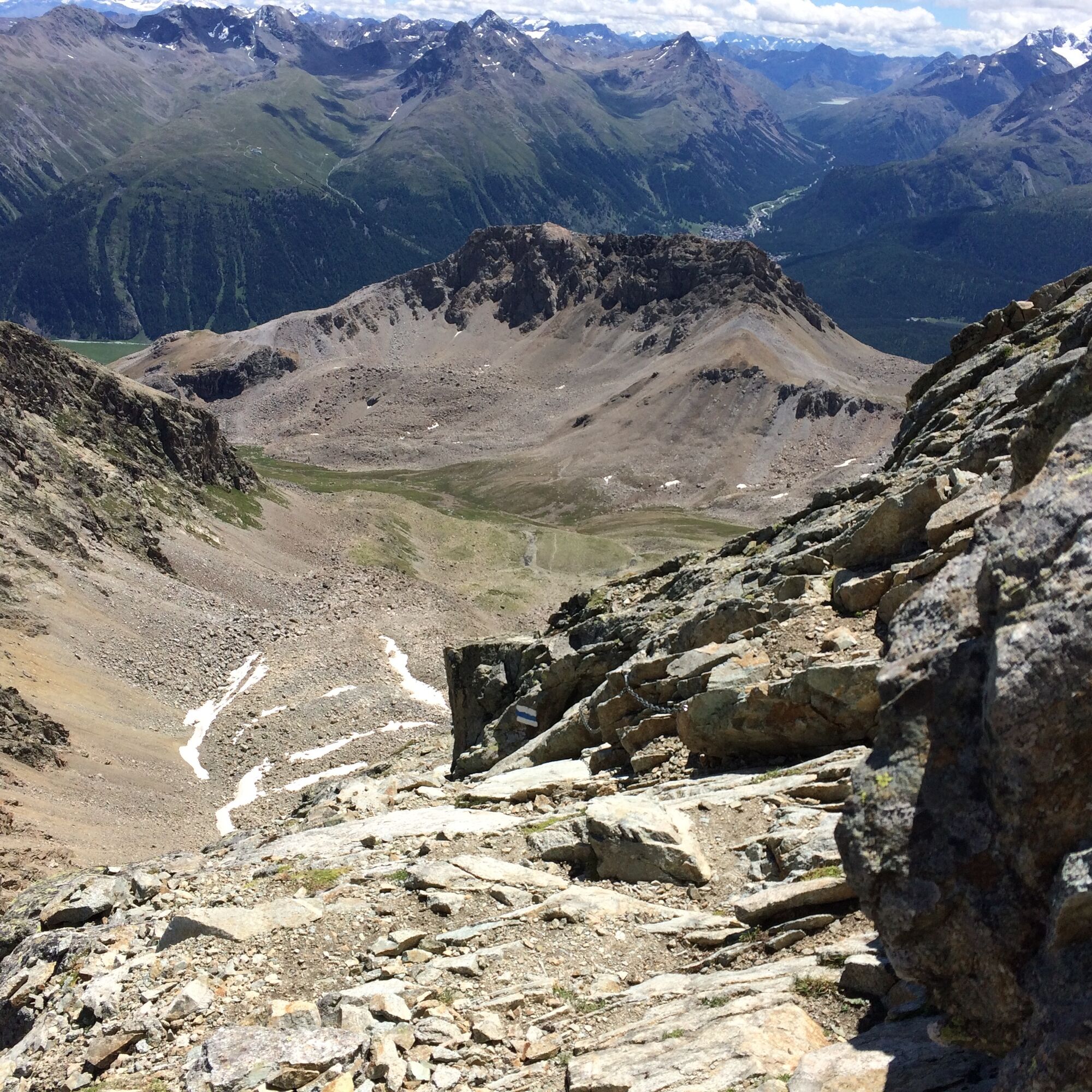
From Samedan, first through the village to the valley station of the Survih ski lift, then in increasingly steep zigzags up to Alp Munt. It is flatter through the Valletta valley until, at point 2583, a path marked with cairns branches off. The path then leads at the beginning of the Botta Naira small valley into the white-blue-white marked path coming from point 2777. Following the white-blue-white markings steeply upwards under Piz Ot and through the southeast and east flanks, the developed and rope-secured path winds steeply up to the summit in several switchbacks. The panoramic view is unique!
The descent is on the same path back down to Samedan. Alternatively, one can also descend to point 2777. From there, a short ascent leads to Fuorcla Valletta and in about 1.5 hours to the Corviglia cable car.
Further information
Engadin Tourism AG
Via Maistra 1
CH-7500 St. Moritz
Phone: +41 81 830 00 01
E-mail: allegra@engadin.ch
Internet: www.engadin.ch

Samedan village center - San Peter - Alp Munt - Valletta - Piz Ot - Valletta - Alp Munt - San Peter - Samedan village center
Ano
Ano
Ano
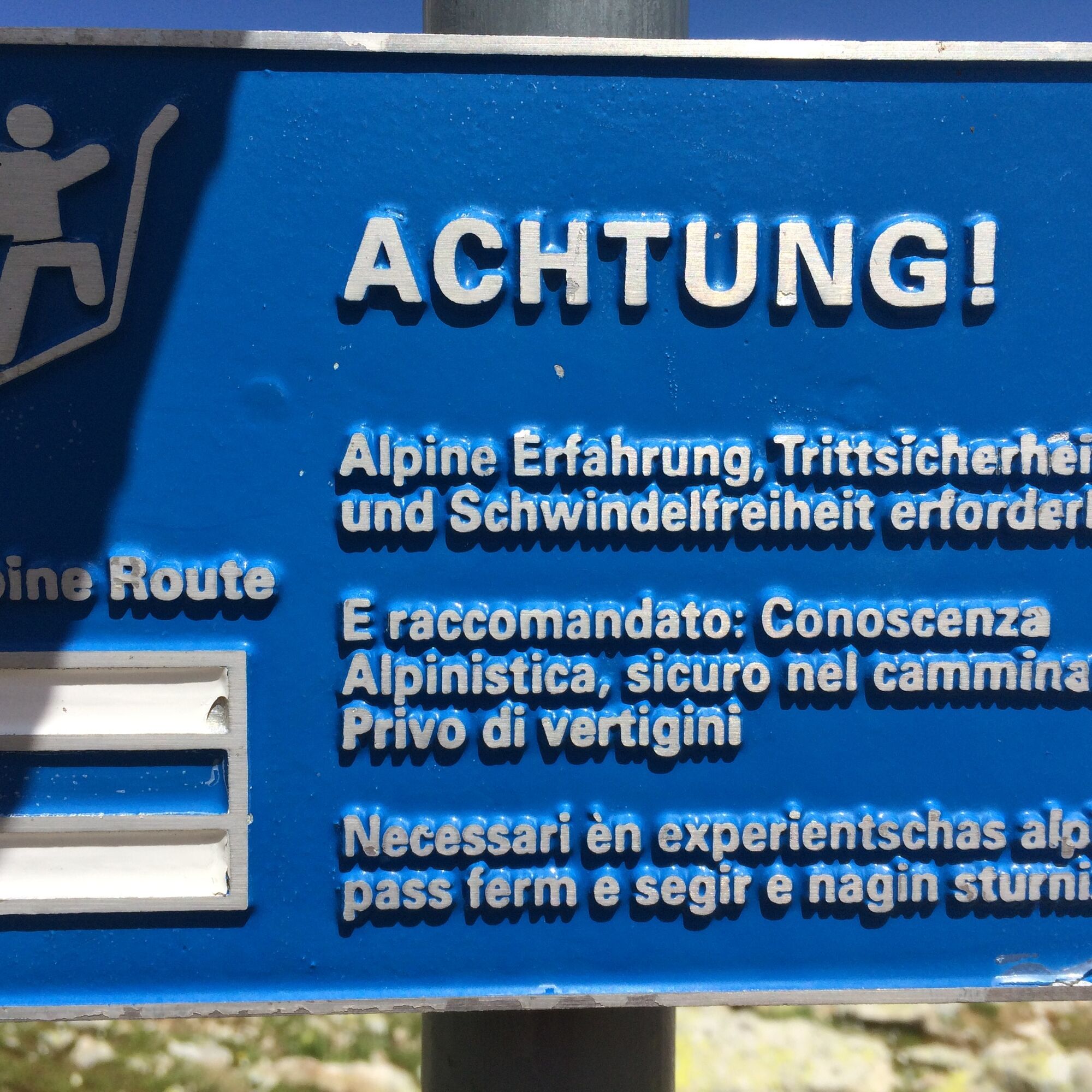
Difficulty T4+: Path not necessarily visible. At certain points, hands are needed to move forward. Terrain already quite exposed, tricky grassy slopes, scree, simple firn fields, and bare glacier passages. If marked according to SWW standards: white-blue-white. Familiarity with exposed terrain. Sturdy trekking shoes. Some terrain assessment and good orientation skills. Alpine experience. Withdrawal can be difficult in case of sudden weather deterioration.
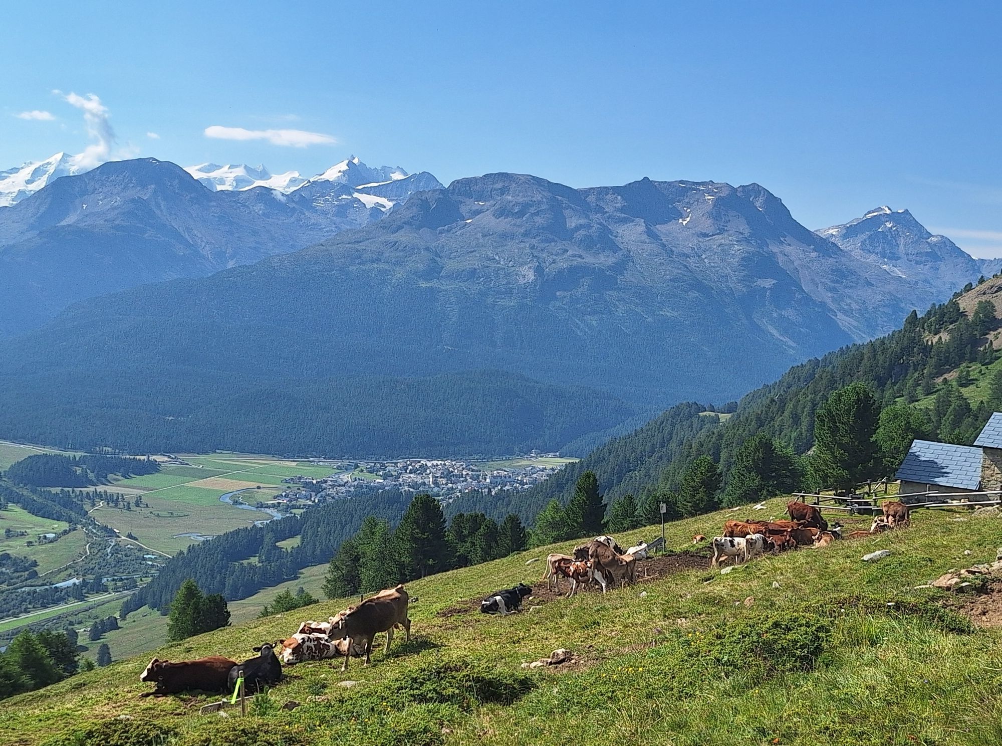
A detour to Alp Muntatsch for a well-deserved break is worthwhile.
Webové kamery z prohlídky
Corviglia
St. Moritz / Samedan - Muottas Muragl
Marguns - Plateau Nair
Samedo - Engadin Golf
St. Moritz / Samedan - Muottas Muragl
St. Moritz / Samedan - Muottas Muragl
St. Moritz / Samedan - Muottas Muragl
Corviglia
Corviglia
Corviglia
Corviglia
Corviglia
Corviglia
Corviglia
Celerina - Cresta Palace
Piz Nair - St. Moritz
Celerina - Skiwiese Provuler
St. Moritz / Trais Fluors Bergstation
Samedan - Engadin Airport
Piz Nair Bergstation
Piz Nair Bergstation
Piz Nair Bergstation
Piz Nair Bergstation
Piz Nair Bergstation
Piz Nair Bergstation
Piz Nair Bergstation
Trais Fluors Bergstation
Trais Fluors Bergstation
Trais Fluors Bergstation
Trais Fluors Bergstation
Trais Fluors Bergstation
Trais Fluors Bergstation
Trais Fluors Bergstation
Trais Fluors Bergstation
Pontresina - Eiskletter-Schlucht
Oblíbené prohlídky v okolí
- 5,0
Morteratsch station - Boval Hut
středníTuristika 10,5 km - 4,6
Panoramic route Muottas Muragl
světloTuristika 6,75 km - 5,0
Muottas Muragl - Segantini hut - Pontresina
středníTuristika 6,46 km - 4,5
Pontresina - Val Roseg - Pontresina
světloTuristika 13,8 km - 4,7
SAC Tschierva
světloTuristika 24,7 km - 4,7
Morteratsch Glacier route
světloTematická stezka 2,88 km - 4,8
Around Lake St. Moritz
světloTuristika 4,32 km Muottas Muragl - Segantini Hütte - Pontresina
středníTuristika 17,5 km- 5,0
Lej Muragl
středníTuristika 7,39 km - 4,3
Val Roseg
středníZimní turistika 6,96 km
Pěší turistika a stopování


Nenechte si ujít nabídky a inspiraci pro vaši příští dovolenou
Vaše e-mailová adresa byl přidán do poštovního seznamu.