







Sils – Chastè Peninsula – Sils
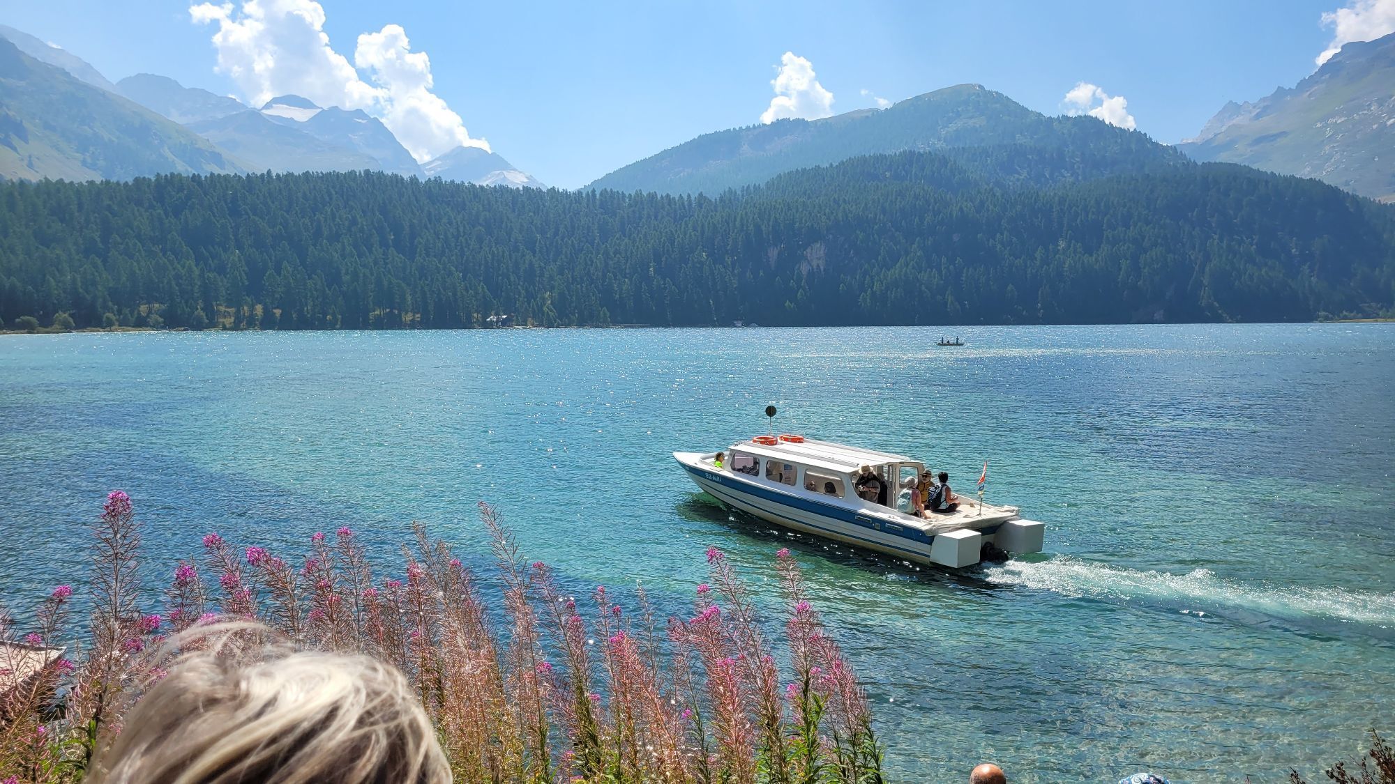
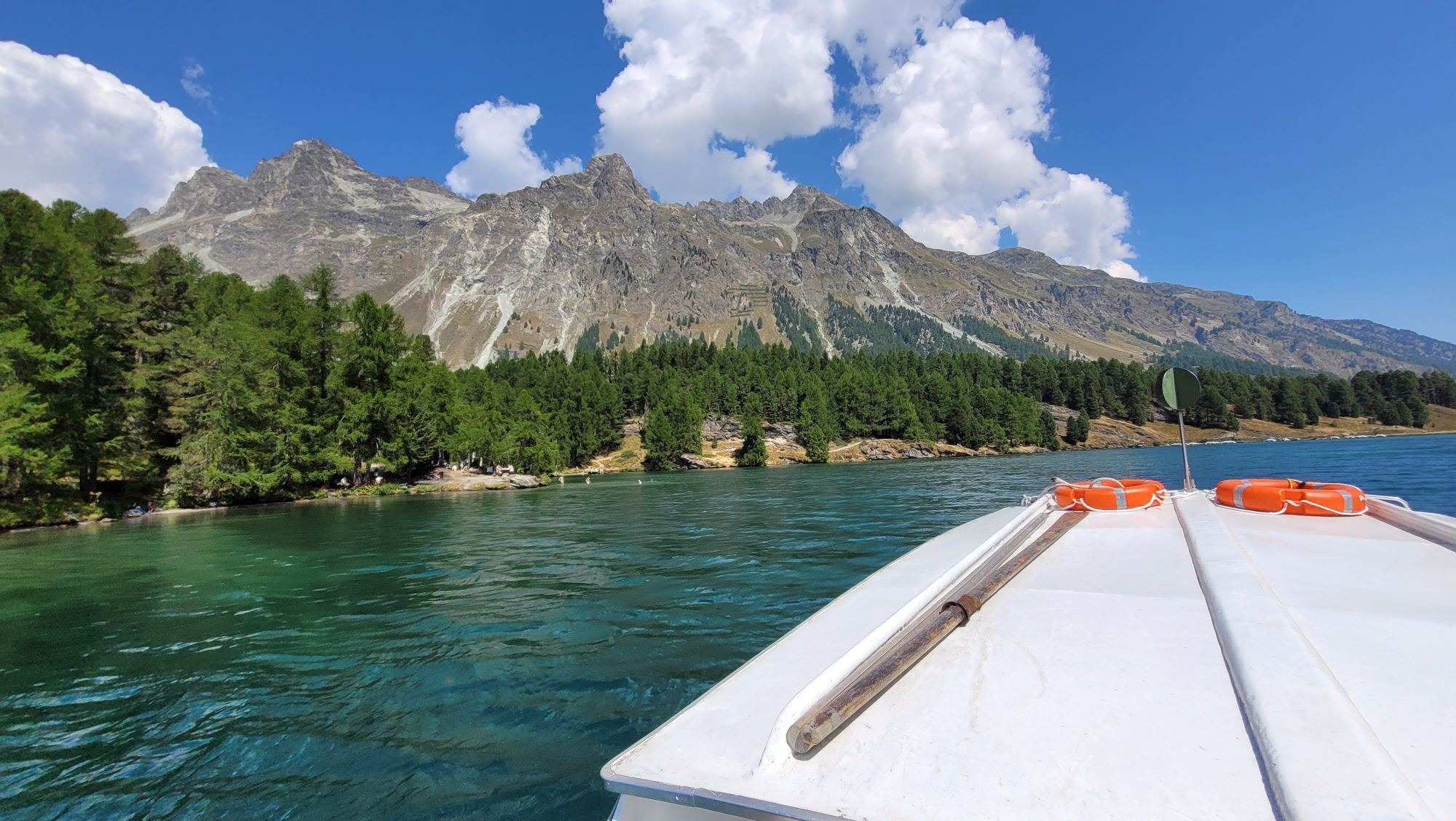
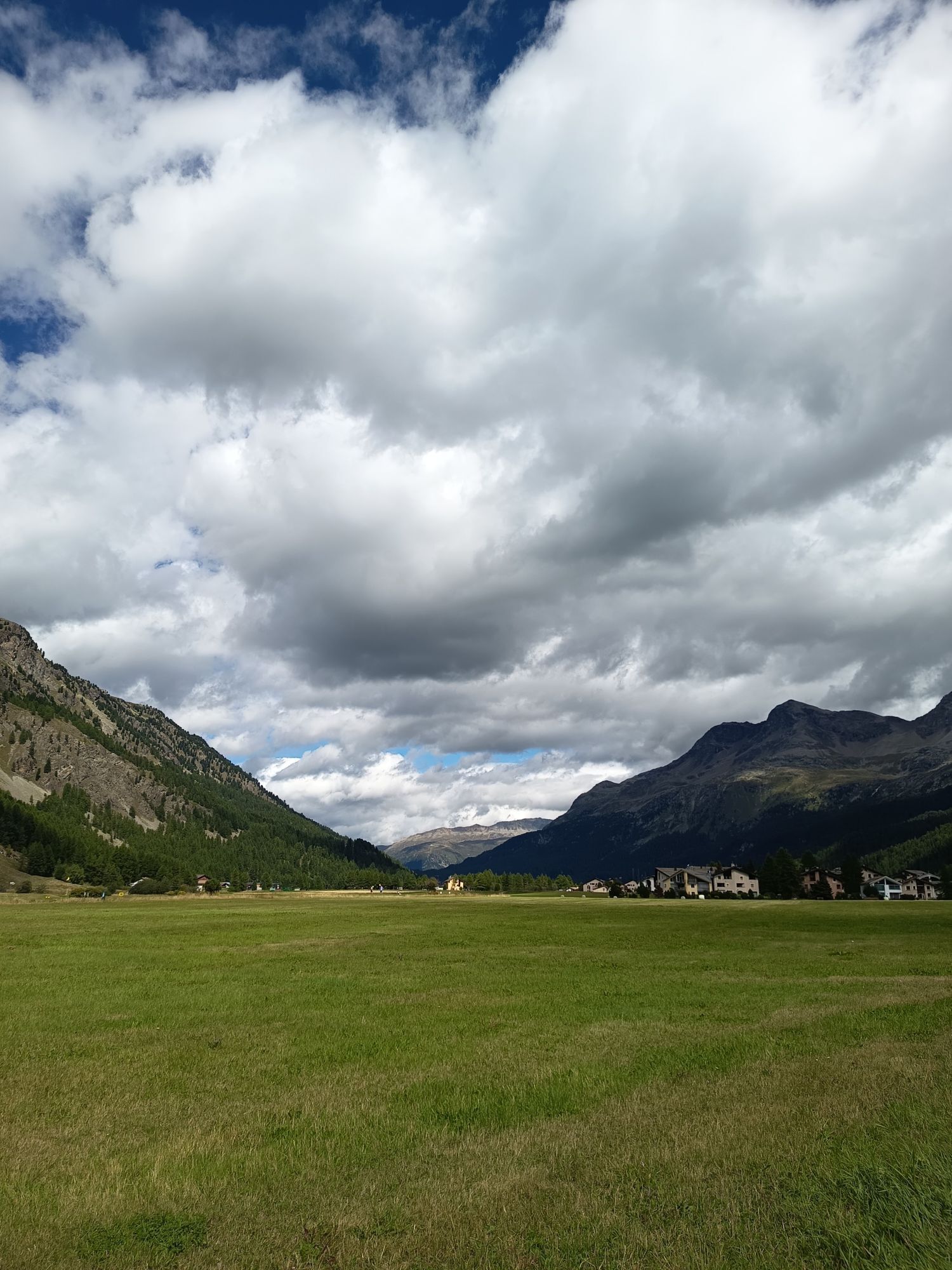
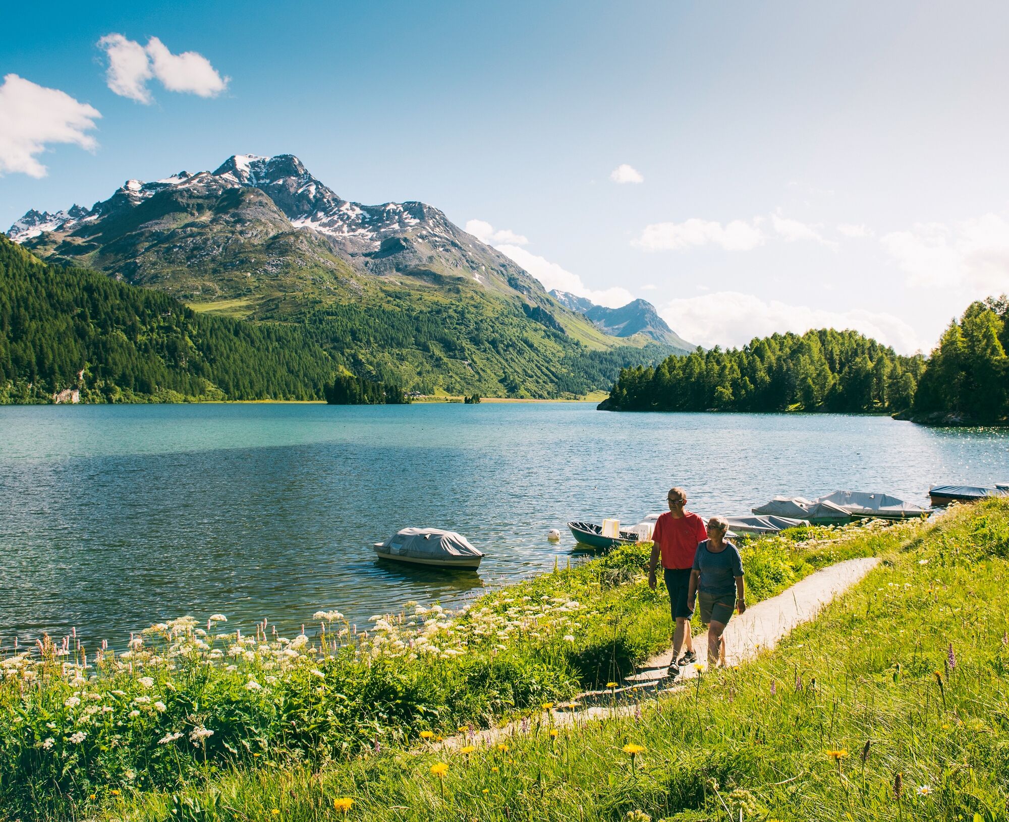
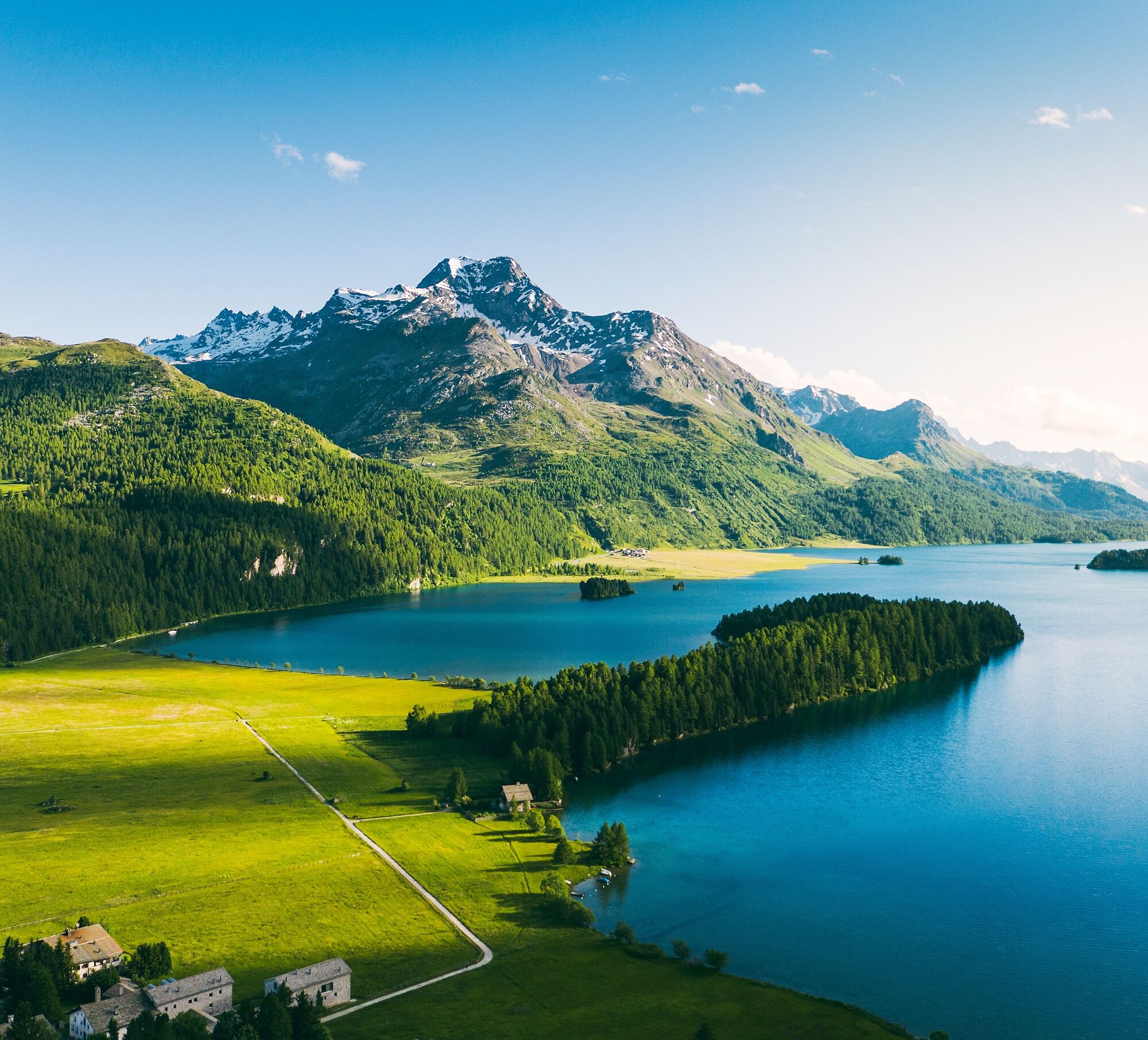
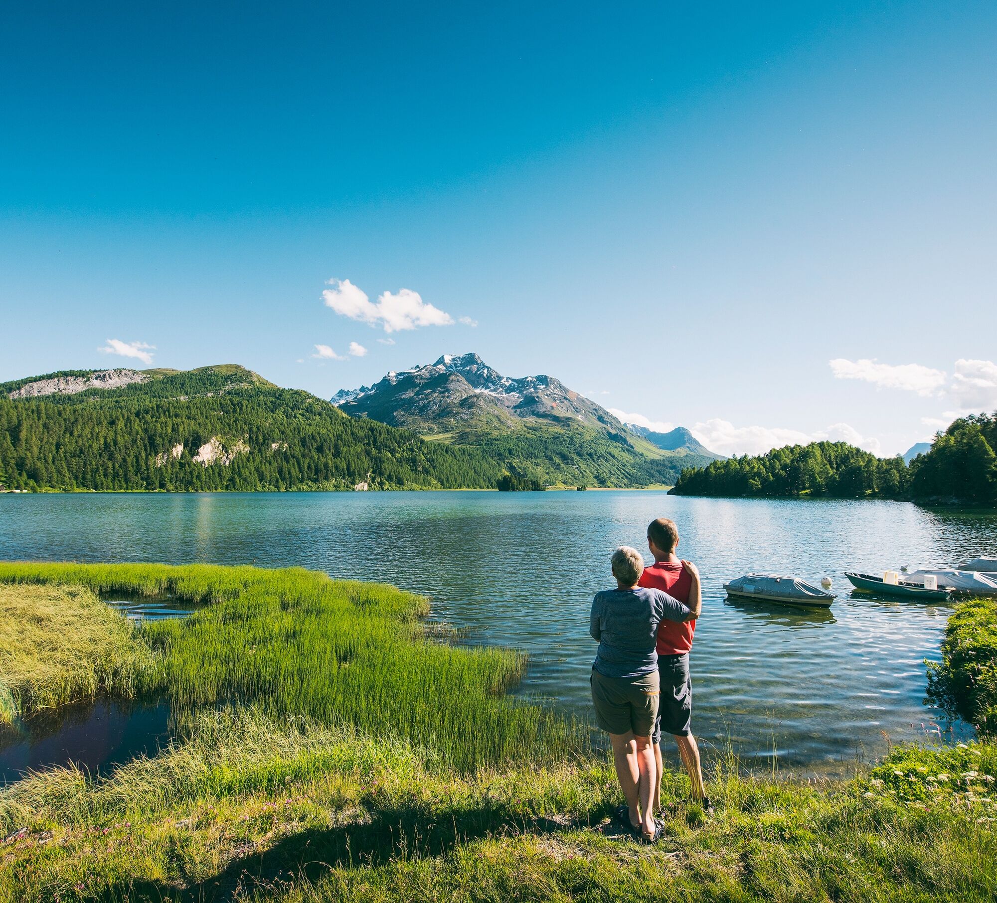
The expanse, the light, and the view over Lake Sils towards Maloja already captivate at the start of the walk. Across the large plain, good paths lead to the beginning of the peninsula from where a varied,...
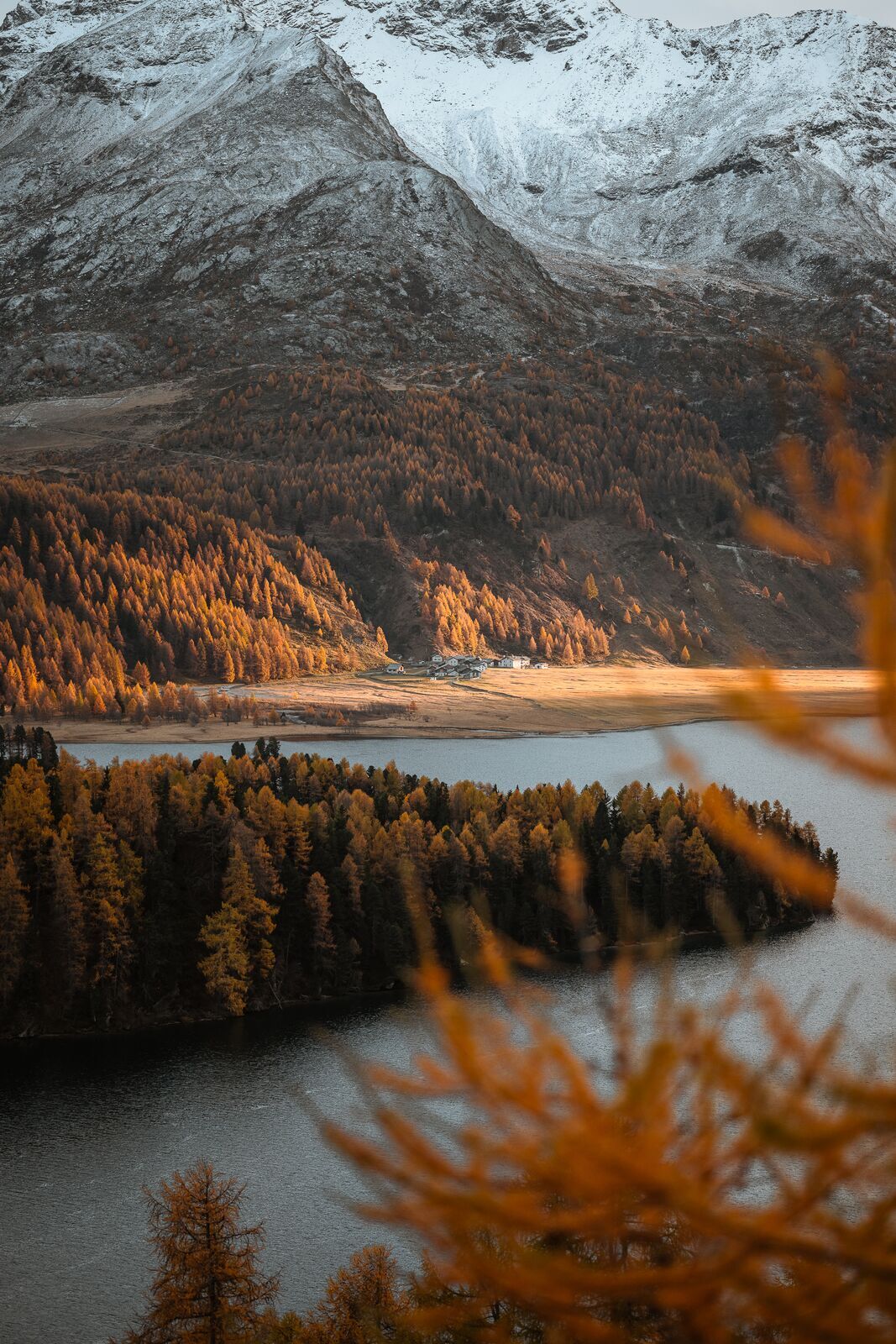
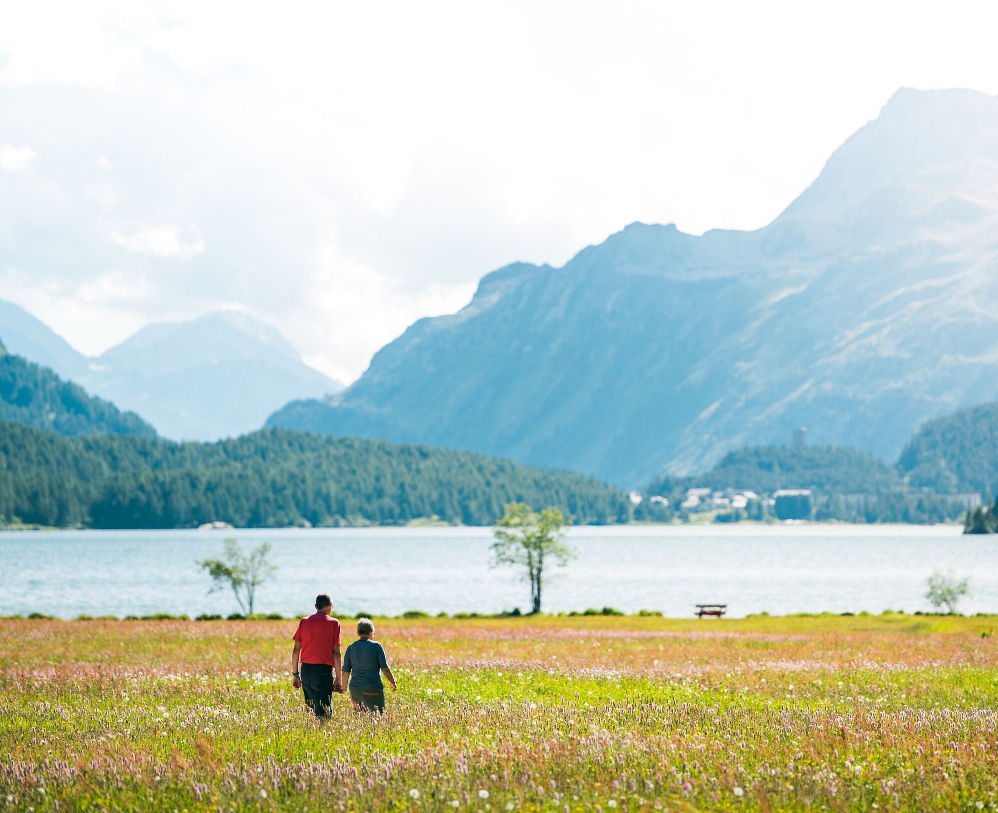
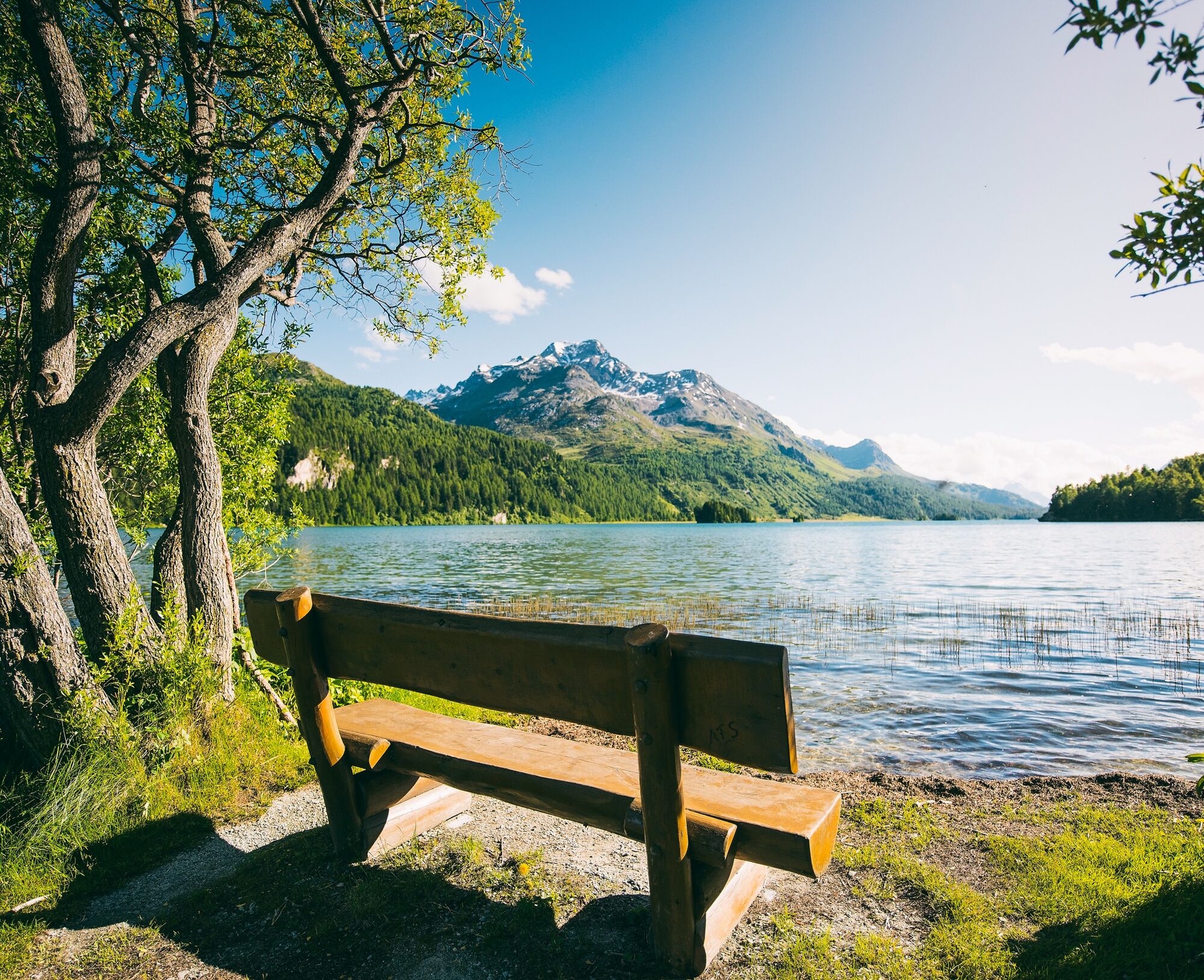
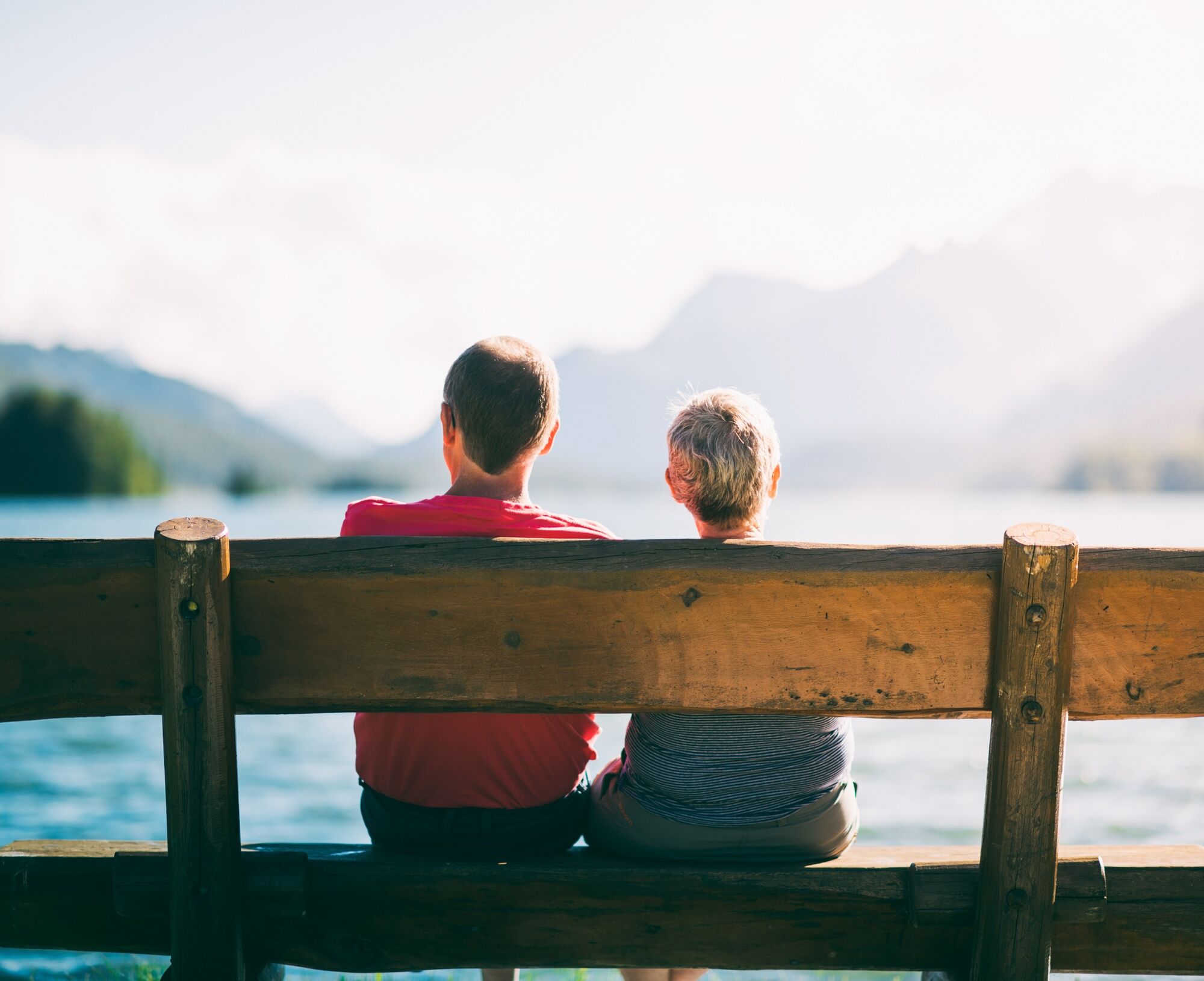
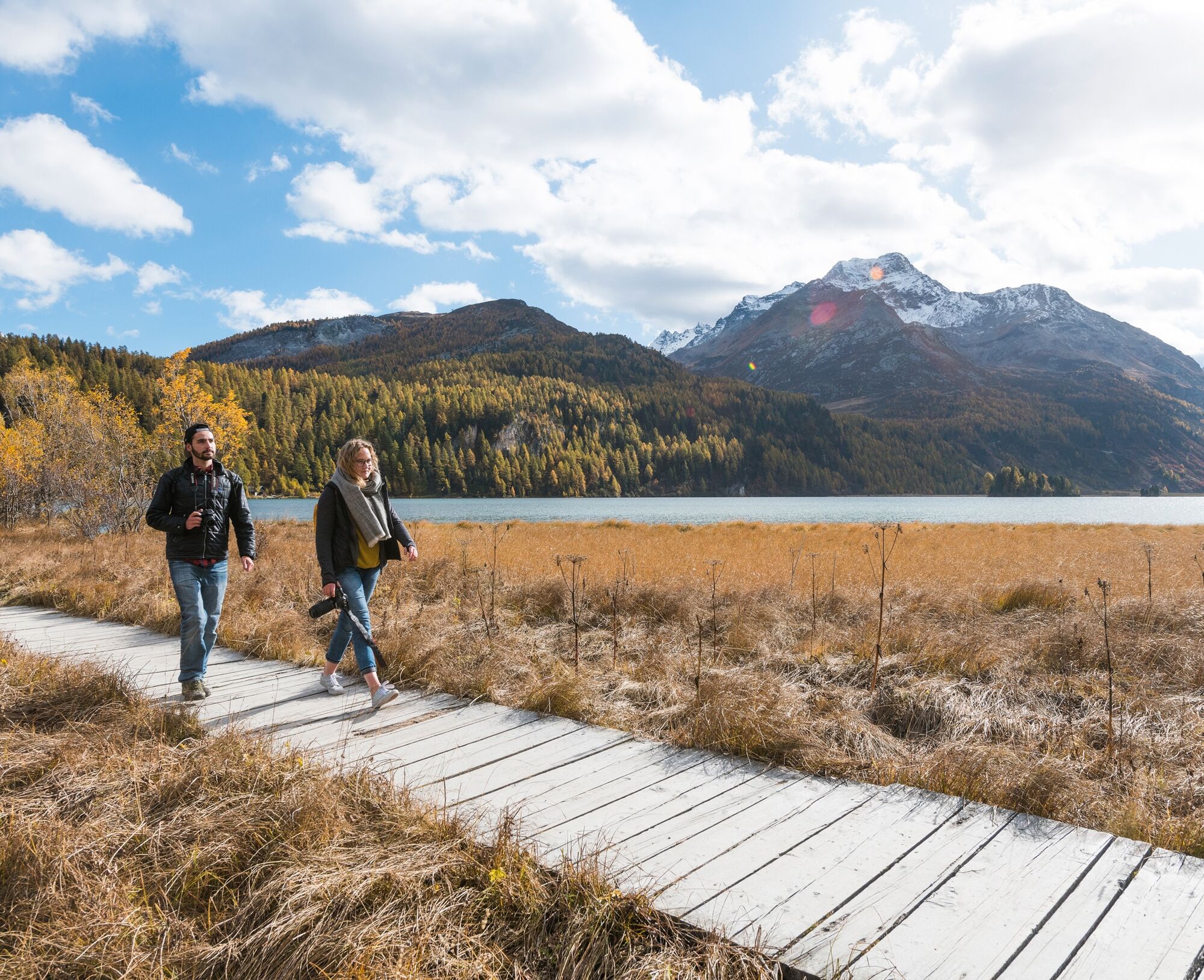
The expanse, the light, and the view over Lake Sils towards Maloja already captivate at the start of the walk. Across the large plain, good paths lead to the beginning of the peninsula from where a varied, easy-to-walk hiking trail winds through the forested peninsula. The play of clouds and sun, the rustling of the waves, and the scent of the mountain forest on the Chastè Peninsula fascinate again and again. You really cannot get enough of the view. Along the way, cozy benches invite you to rest, enjoy, and philosophize. After a refreshing cool-down in the crystal-clear Lake Sils, you feel reborn. At the Nietzsche memorial stone, almost at the end of the peninsula, the view towards Plaun da Lej and Maloja is particularly beautiful. It's no wonder that Nietzsche was also inspired by this unique landscape. The stone foundation remains on the rock at the northern shore testify to the castle that gave the peninsula its name. The short detour to this historic site is definitely worthwhile. Fascinated by the stay on the famous peninsula, you stroll back along the large plain towards the village of Sils, flanked on one side by fishing boats anchored in the water and on the other by rare plants.
Further information
Engadin Tourism AG
Via Maistra 1
CH-7500 St. Moritz
Phone: +41 81 830 00 01
E-mail: allegra@engadin.ch
Website: www.engadin.ch


Sils – Chastè Peninsula – Sils
Ano
Ano
Sils/Segl Maria
Car park Sils-Val-Fex-Sils
See also
Sils Tourist Information
T +41 81 838 50 50
sils@estm.ch
www.sils.ch / www.engadin.ch
At the fire pits directly by the lake, everything is ready for a sociable barbecue chat in the midst of nature.
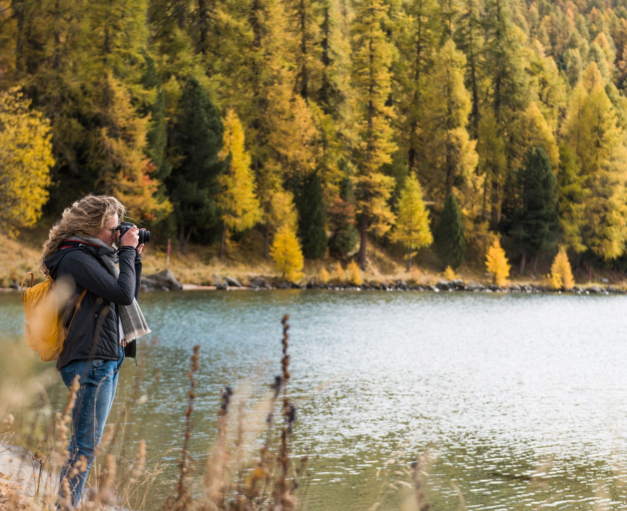
In autumn, with some luck, you can find the Silserkugeln here.

 Získejte přehled
Vždy živě na místě s více než 9 500 webkamerami. bergfex Jako uživatel Pro si nyní můžete zobrazit odpovídající webové kamery pro mnoho prohlídek v aplikaci prohlídky z. Můžete si tak přímo prohlédnout aktuální podmínky.
Získejte přehled
Vždy živě na místě s více než 9 500 webkamerami. bergfex Jako uživatel Pro si nyní můžete zobrazit odpovídající webové kamery pro mnoho prohlídek v aplikaci prohlídky z. Můžete si tak přímo prohlédnout aktuální podmínky.

Oblíbené prohlídky v okolí
-
5.0
Morteratsch station - Boval Hut
středníTuristika 10.5 km -
4.9
Maloja - Motta Salacina - Lägh da Cavloc - Maloja
středníTuristika 10.3 km -
4.5
Pontresina - Val Roseg - Pontresina
světloTuristika 13.8 km -
4.8
SAC Tschierva
světloTuristika 24.7 km -
4.8
Around Lake St. Moritz
světloTuristika 4.32 km -
4.7
Morteratsch Glacier route
světloTematická stezka 2.88 km -
4.3
721 Senda Ils Lejins Sils/Furtschellas
středníTuristika 6.02 km -
4.0
Mittelstation Murtèl – Fuorcla Surlej – Val Roseg – Pontresina
středníTuristika 23.5 km -
4.3
Val Roseg
středníZimní turistika 6.96 km -
4.8
Val Roseg - Tschierva Hut
středníTuristika 5.12 km
Pěší turistika a stopování


Nenechte si ujít nabídky a inspiraci pro vaši příští dovolenou
Vaše e-mailová adresa byl přidán do poštovního seznamu.





