






006.01 Alpine Passes Route - St. Moritz - Jenatsch SAC
Our tip for the following stage of the Alpine passes route:
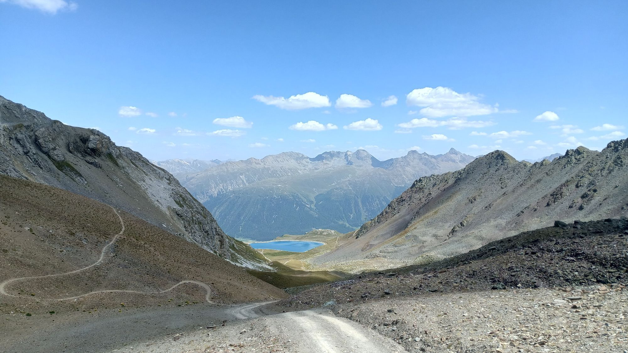
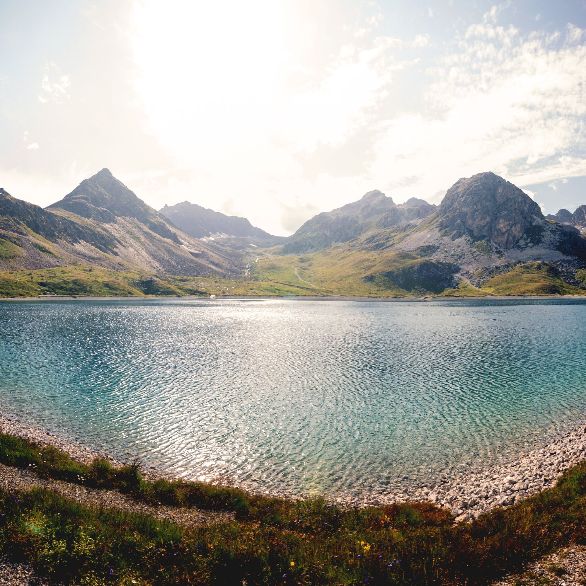
Lej Alv natural storage lake: Used in winter as a water reservoir for snowmaking on the slopes, Lej Alv is a perfect place for a hiking break...Our tip for the following stage of the Alpine passes route:
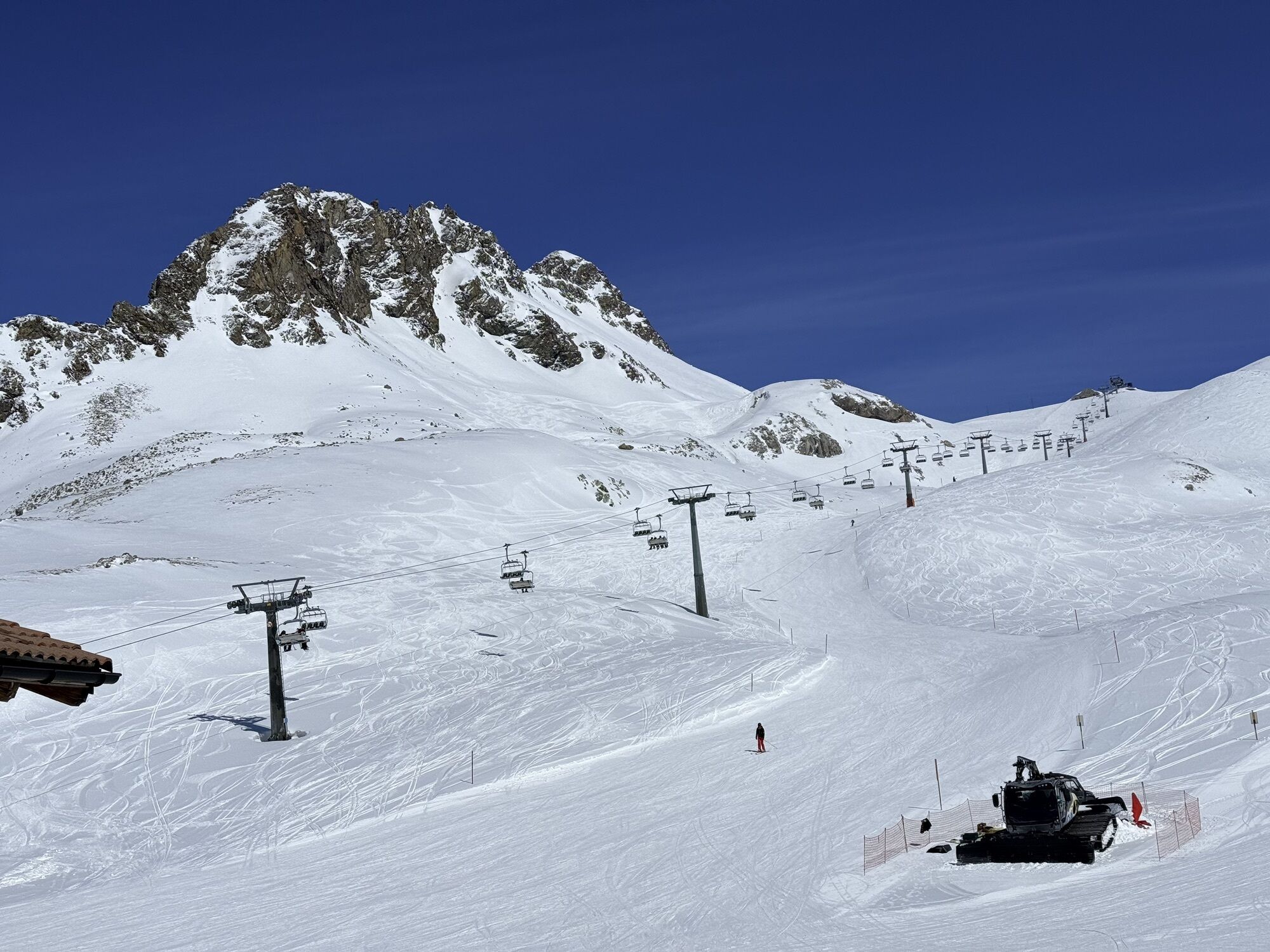
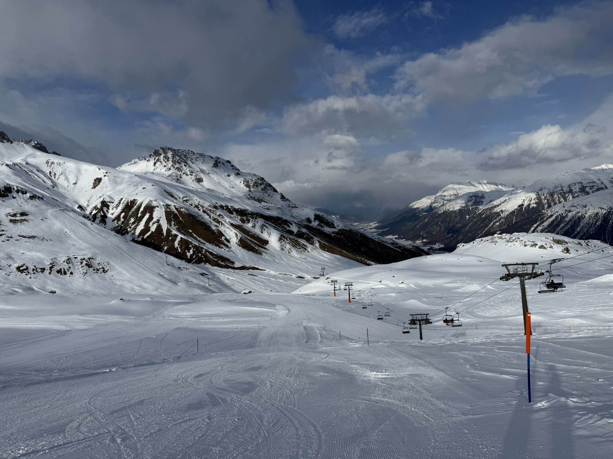
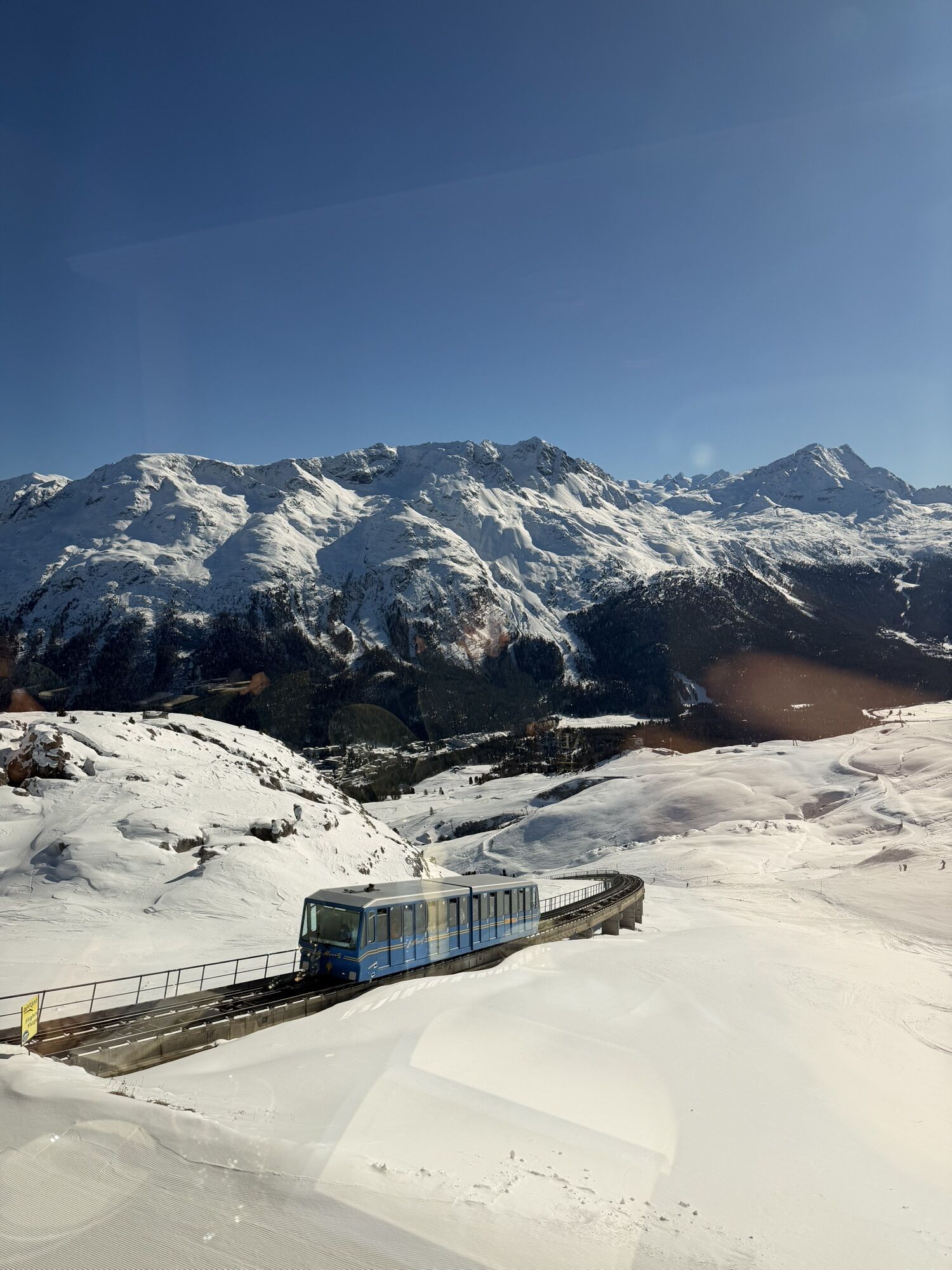
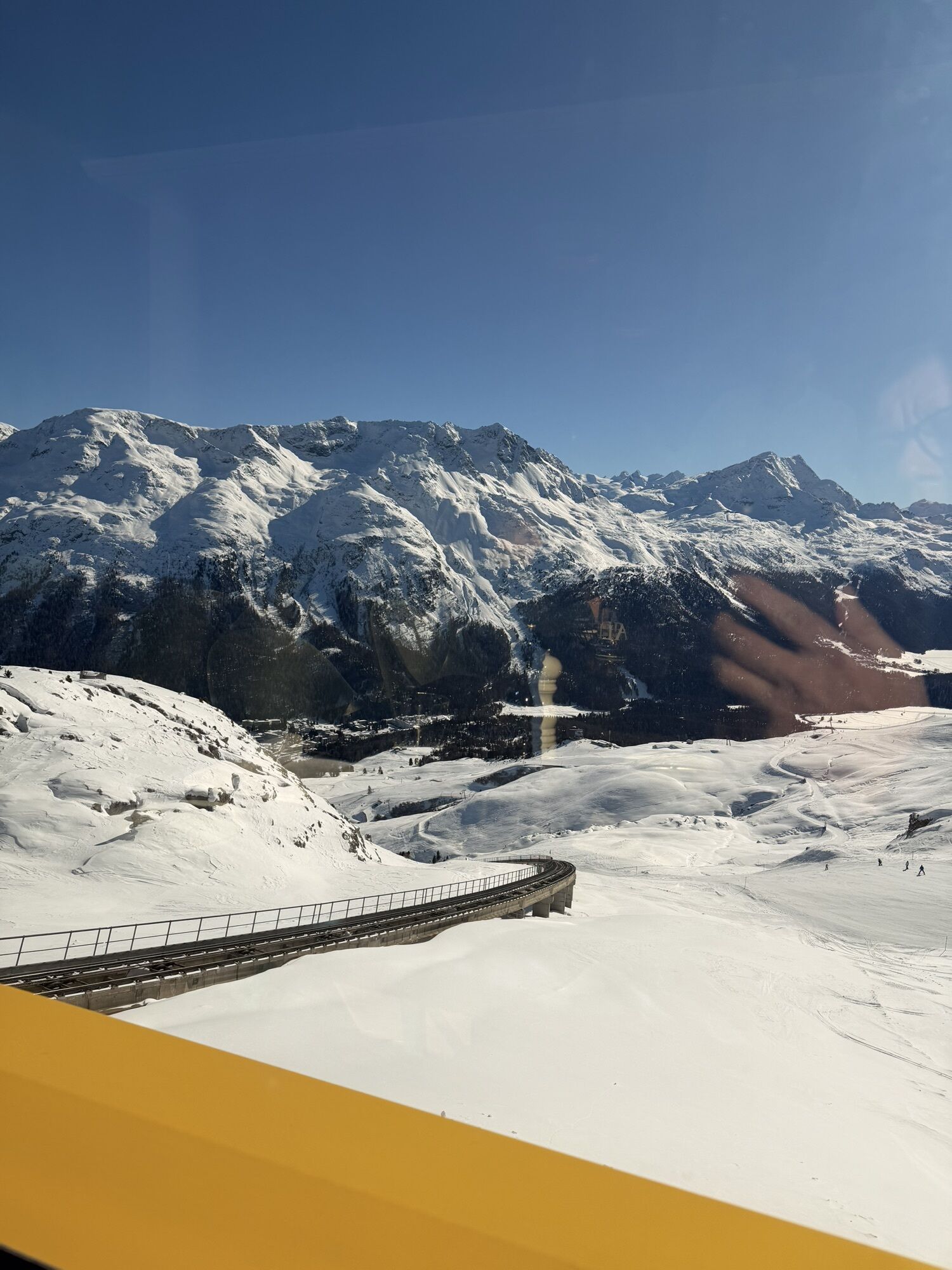
Lej Alv natural storage lake: Used in winter as a water reservoir for snowmaking on the slopes, Lej Alv is a perfect place for a hiking break in summer.The Alpine passes route leads from St. Moritz over nearly 700 kilometers to St. Gingolph. On a total of 39 stages, 40,000 meters ascent and 40,000 descent are overcome. With every new valley and every pass, a new world awaits. Worldwide known is St. Moritz, the luxurious holiday resort in the Upper Engadine lake landscape. The cogwheel railway takes you to the starting point in Corviglia at 2,488 meters. From here, glitz and glamour are gradually forgotten.
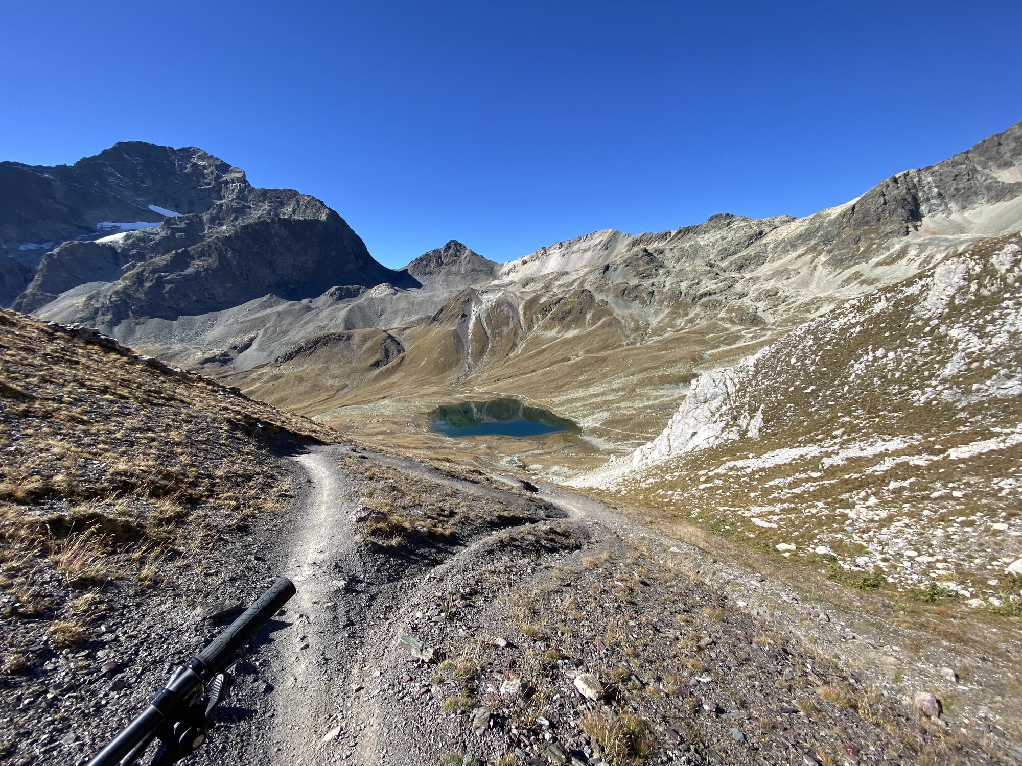
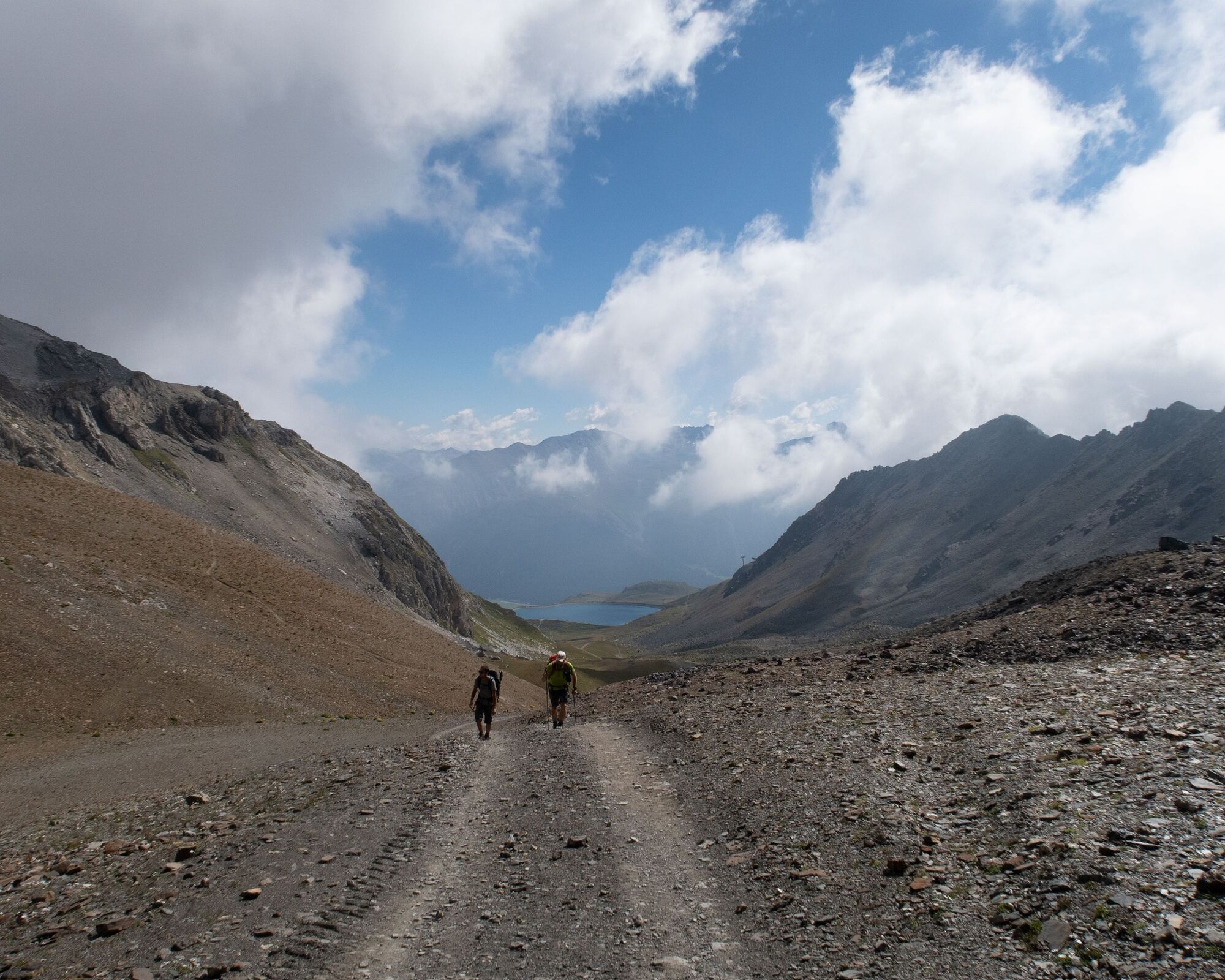
Past Lej Alv, where the peaks of Sass Corviglia, Piz Saluver, and Sass Nair are reflected, the path winds through the valley up to Fuorcla Schlattain at 2,872 meters above sea level. The last section is quite steep and sweat-inducing. Via Lej da la Pêsch, it descends to the Suvretta Pass. Beautifully situated is Lej Suvretta amid the alpine mountain landscape with Piz Nair (3,055), Piz Suvretta (3,143), Corn Suvretta (3,071), and Piz Güglia (3,380). With a view into Suvretta da Samedan, the path branches off to the left.
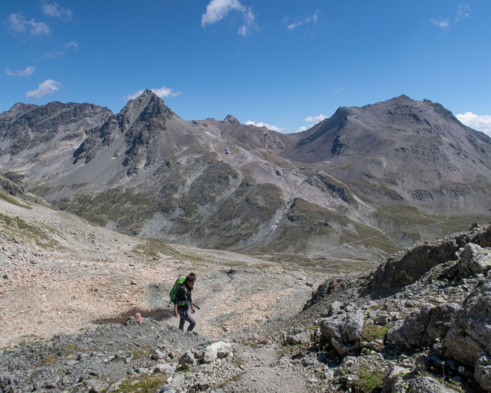
The next 400 meters of ascent are steep. Partly exposed and with short climbing sections, about an hour later you stand on Fuorcla Suvretta just under 3,000 meters. At the highest point of the stage, you have left all civilization behind. To the south in view: the snow-covered Piz Bernina and the Morteratsch. On the other side: a moon-like landscape resembling an amphitheater. The red glowing Piz Traunter Ovas immediately catches the eye. Its effect is granted by the iron-rich rock in good sunlight.
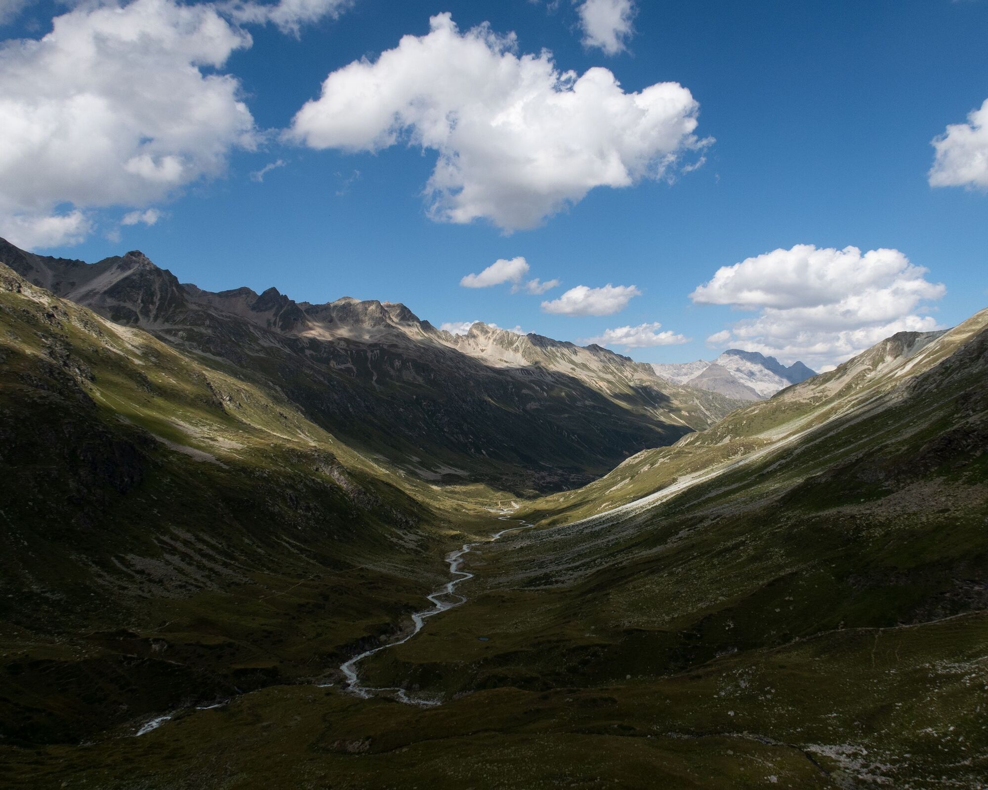
Now follows the steep and slippery descent. Reaching the floor of the “amphitheater”, shortly after you look into the magnificent Val Bever, which stretches around 15 kilometers further to Bever. After gravel, a grassy landscape follows. After taking the left bend behind you, you recognize the beautifully located Jenatsch hut on the hill. The views now reach farther into Val Bever. After crossing the river, the last ascent follows to the highest (2,651 m) SAC hut in Graubünden. It fits perfectly into the mountain landscape between Piz Picuogl and Piz Jenatsch.
Only a pity: the glacier is no longer visible at all, although in 1893 it still reached almost to the hut.


Webové kamery z prohlídky
-
Corviglia
-
Marguns - Plateau Nair
-
Samedo - Engadin Golf
-
Corviglia
-
Corviglia
-
Corviglia
-
Corviglia
-
Corviglia
-
Corviglia
-
Corviglia
-
Celerina - Cresta Palace
-
Piz Nair - St. Moritz
-
Celerina - Skiwiese Provuler
-
St. Moritz / Trais Fluors Bergstation
-
St. Moritz - Berghotel Randolins
-
El Paradiso
-
Piz Nair Bergstation
-
Piz Nair Bergstation
-
Piz Nair Bergstation
-
Piz Nair Bergstation
-
Piz Nair Bergstation
-
Piz Nair Bergstation
-
Piz Nair Bergstation
-
Piz Nair Bergstation
-
Trais Fluors Bergstation
-
Trais Fluors Bergstation
-
Trais Fluors Bergstation
-
Trais Fluors Bergstation
-
Trais Fluors Bergstation
-
Trais Fluors Bergstation
-
Trais Fluors Bergstation
-
Trais Fluors Bergstation
Získejte přehled
Vždy živě na místě s více než 9 500 webkamerami. bergfex Jako uživatel Pro si nyní můžete zobrazit odpovídající webové kamery pro mnoho prohlídek v aplikaci prohlídky z. Můžete si tak přímo prohlédnout aktuální podmínky.
Oblíbené prohlídky v okolí
-
5.0
Muottas Muragl - Segantini hut - Pontresina
středníTuristika 6.46 km -
4.4
Panoramic route Muottas Muragl
světloTuristika 6.75 km -
4.8
Maloja - Motta Salacina - Lägh da Cavloc - Maloja
středníTuristika 10.3 km -
4.5
Pontresina - Val Roseg - Pontresina
světloTuristika 13.8 km -
4.7
SAC Tschierva
světloTuristika 24.7 km -
Muottas Muragl - Segantini Hütte - Pontresina
středníTuristika 17.5 km -
5.0
Lej Muragl
středníTuristika 7.39 km -
4.3
Val Roseg
středníZimní turistika 6.96 km -
4.8
Around Lake St. Moritz
světloTuristika 4.32 km -
4.6
Marathon
středníBěh na lyžích 42.9 km
Pěší turistika a stopování


Nenechte si ujít nabídky a inspiraci pro vaši příští dovolenou
Vaše e-mailová adresa byl přidán do poštovního seznamu.





