






87 Via Engiadina: Stage 2 Silvaplana-Celerina (Marguns)
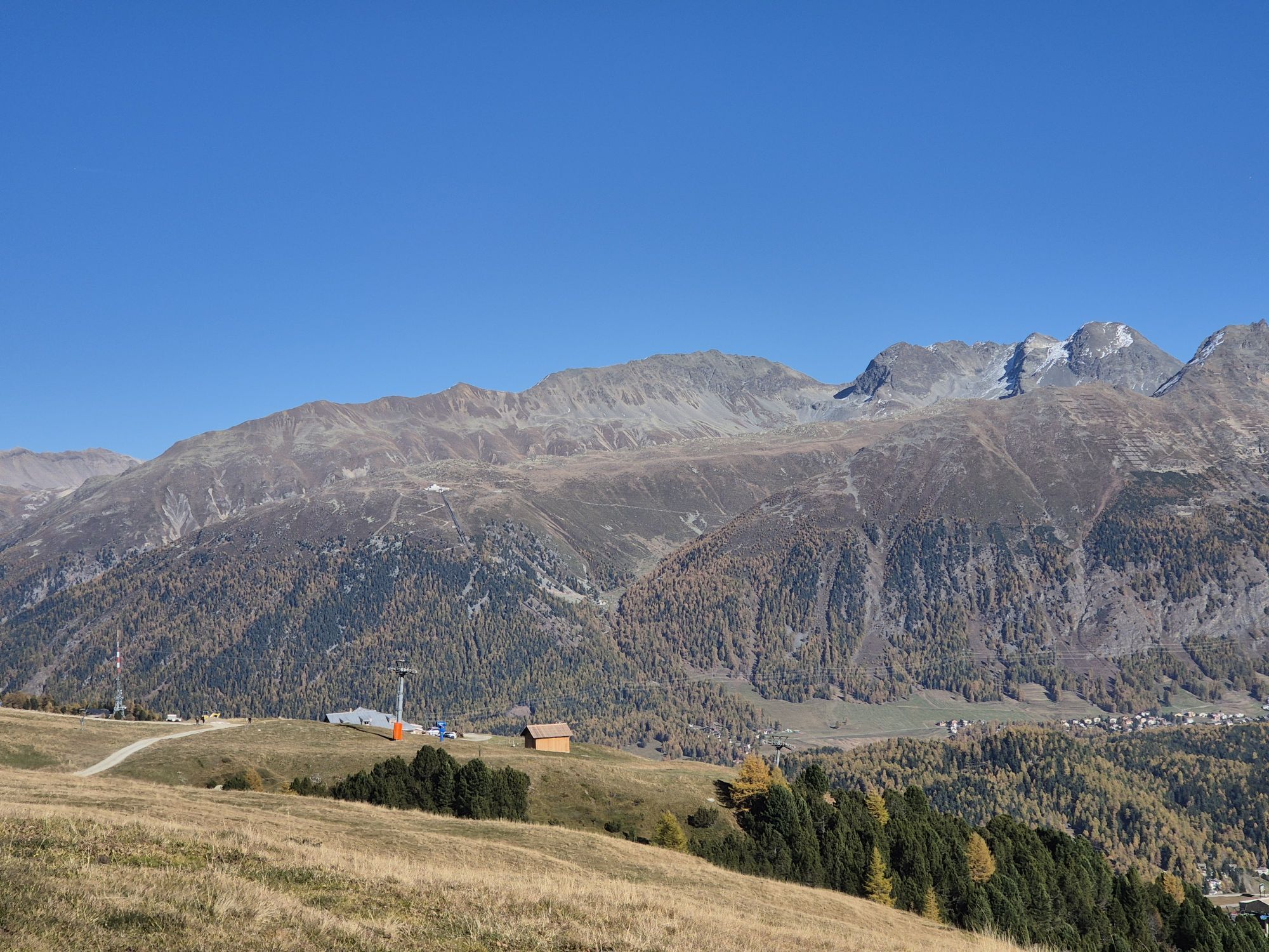
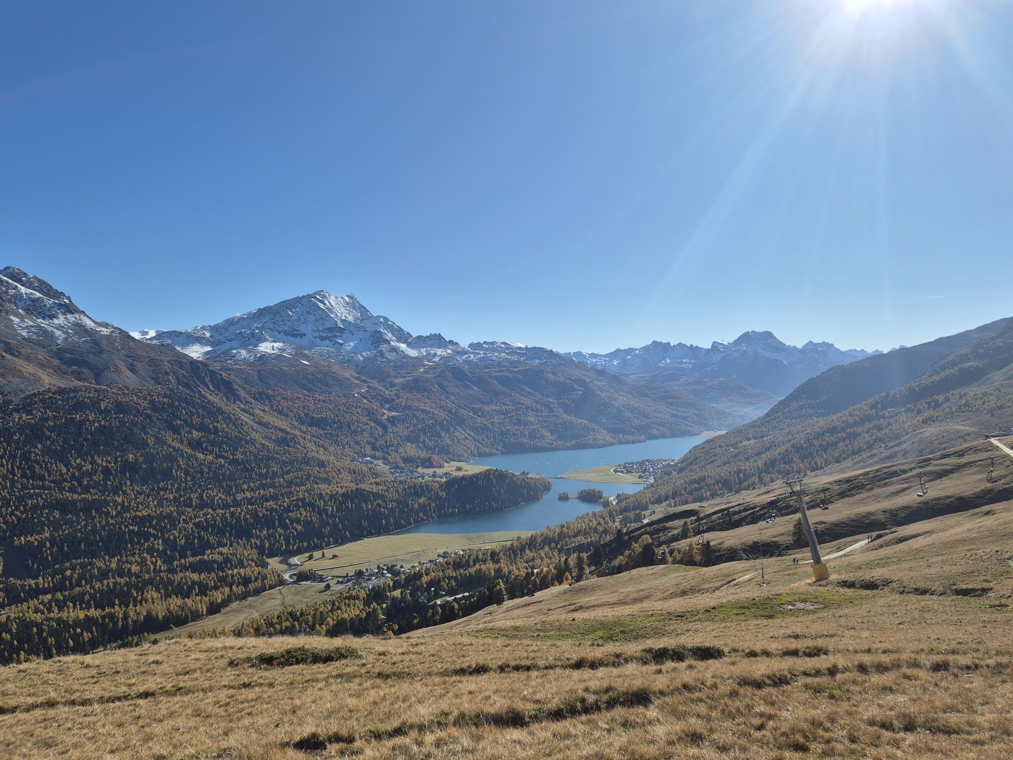
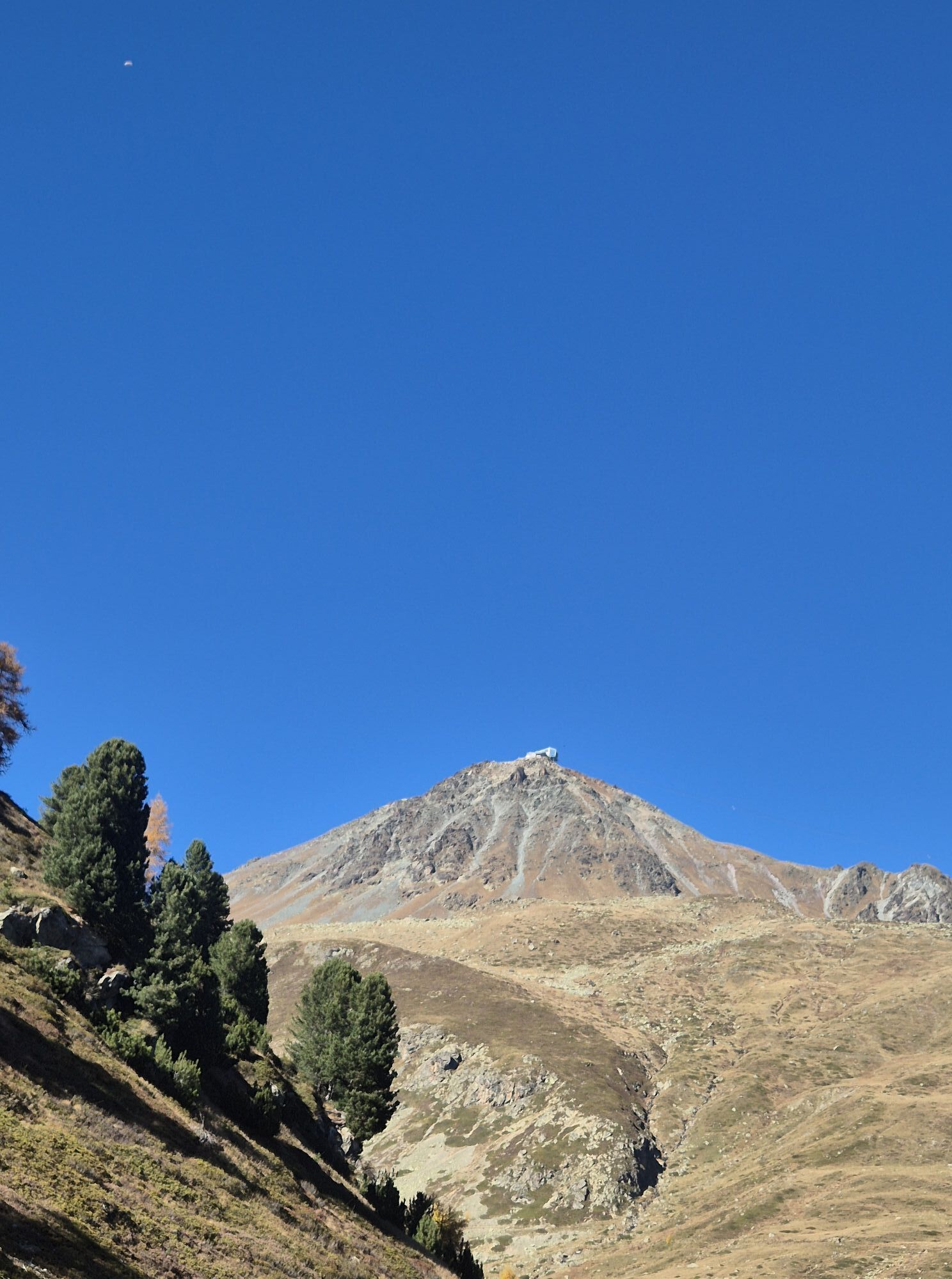
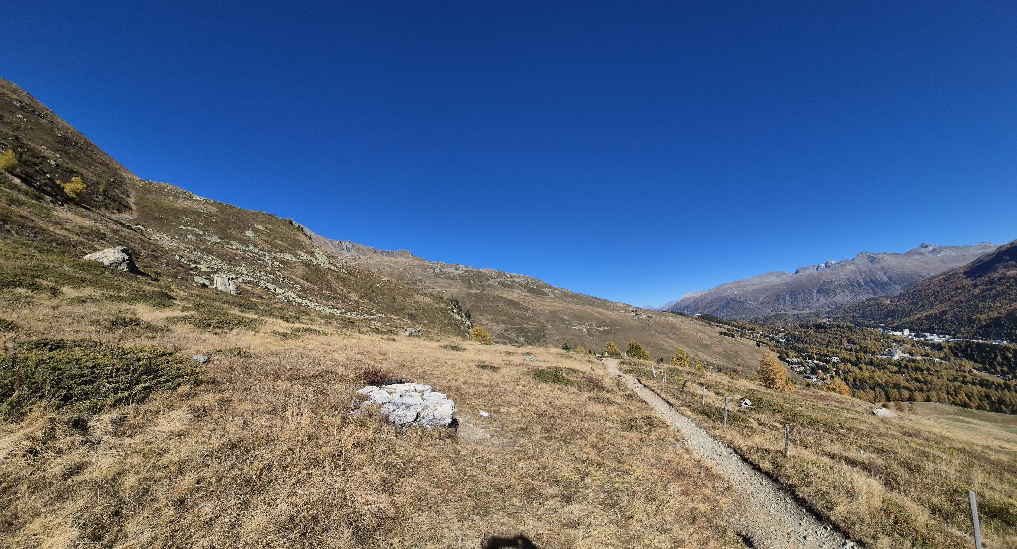
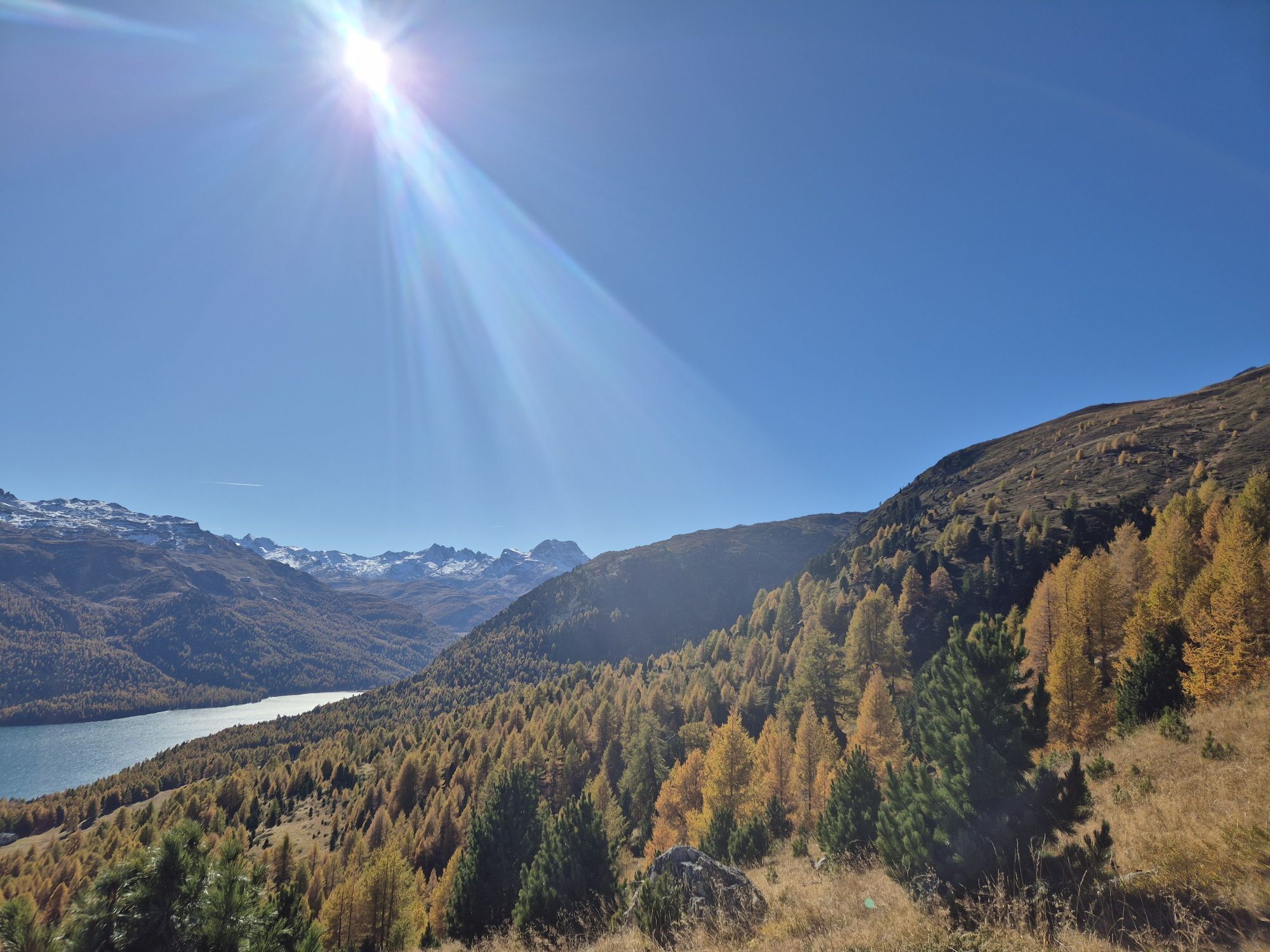
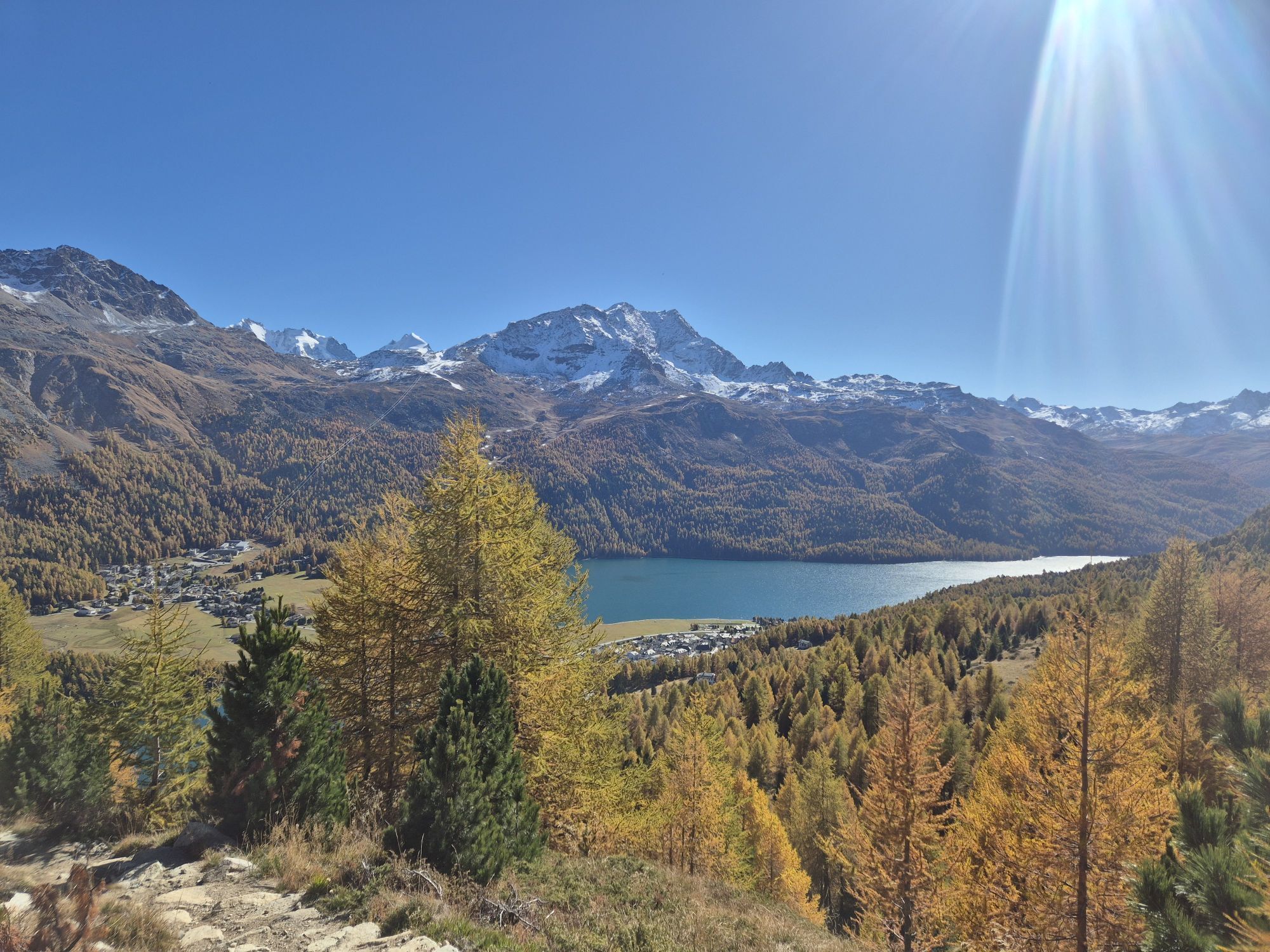
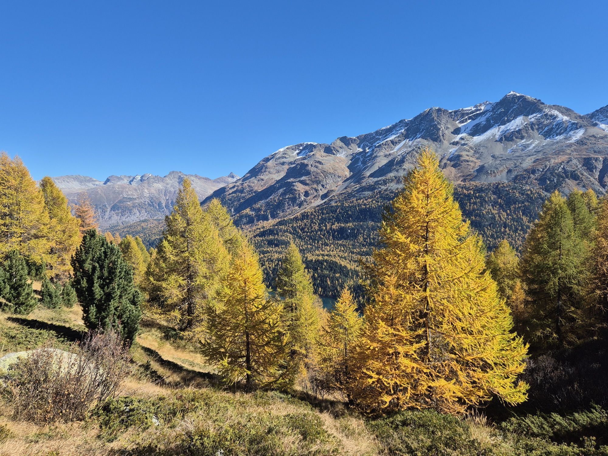
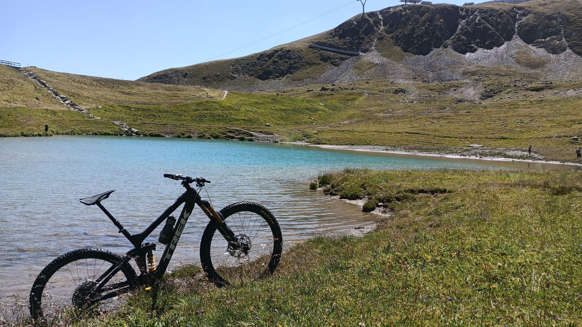
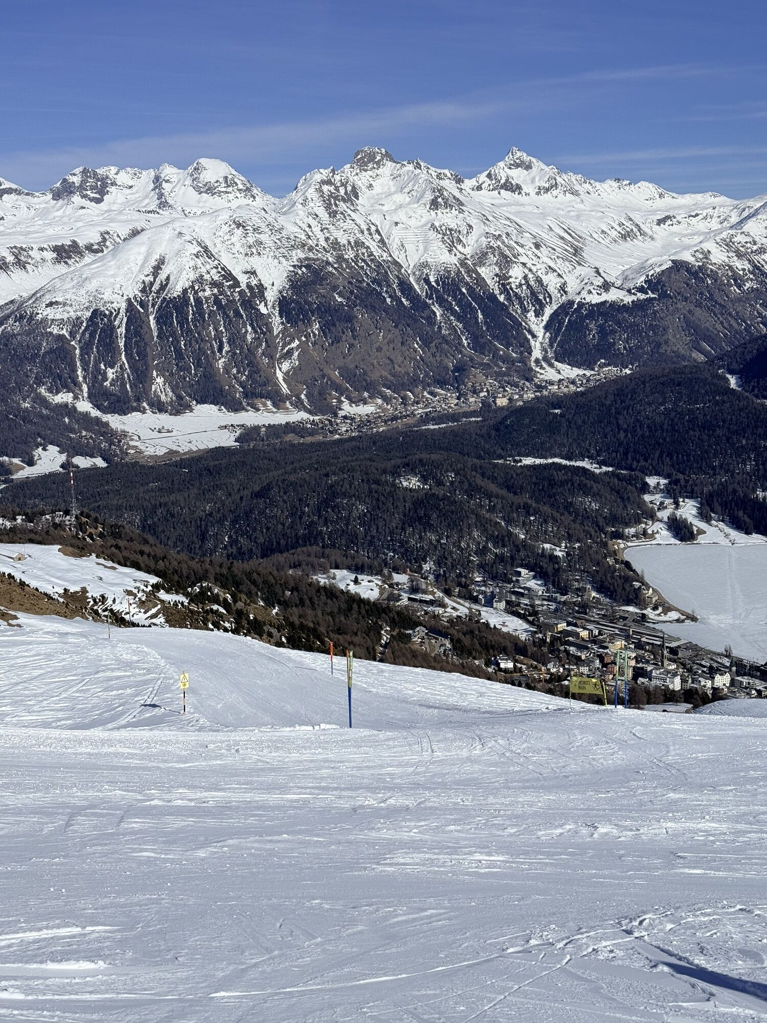
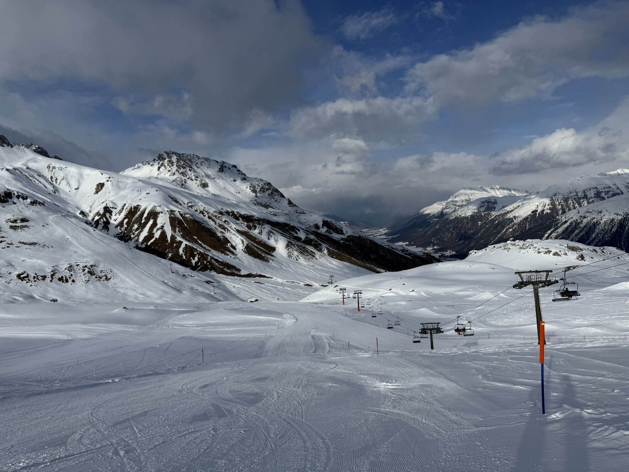
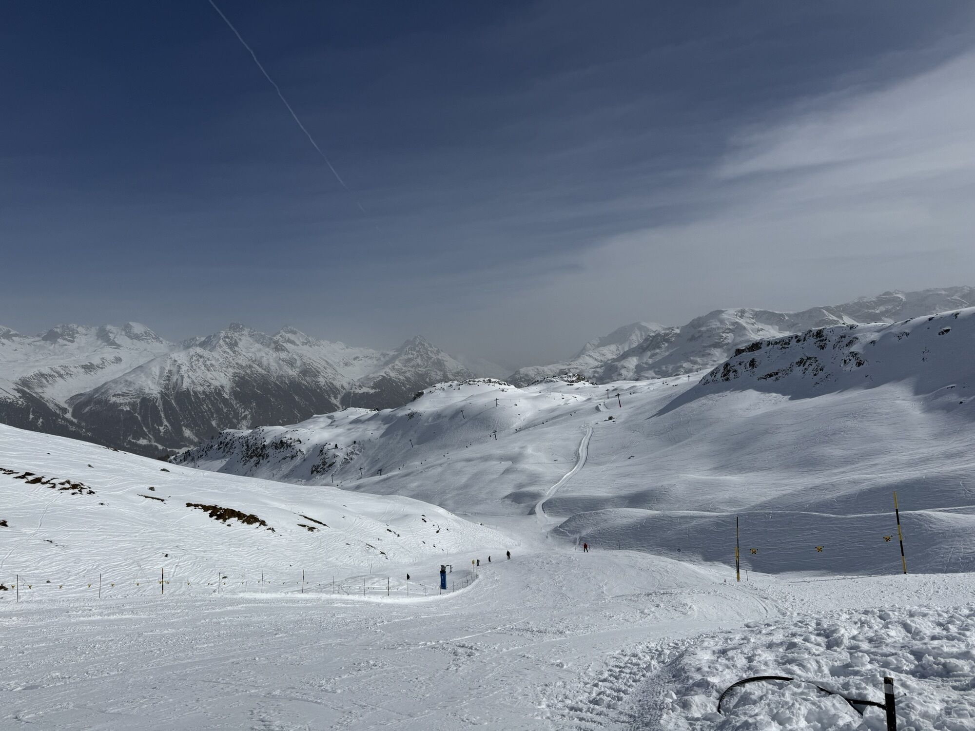
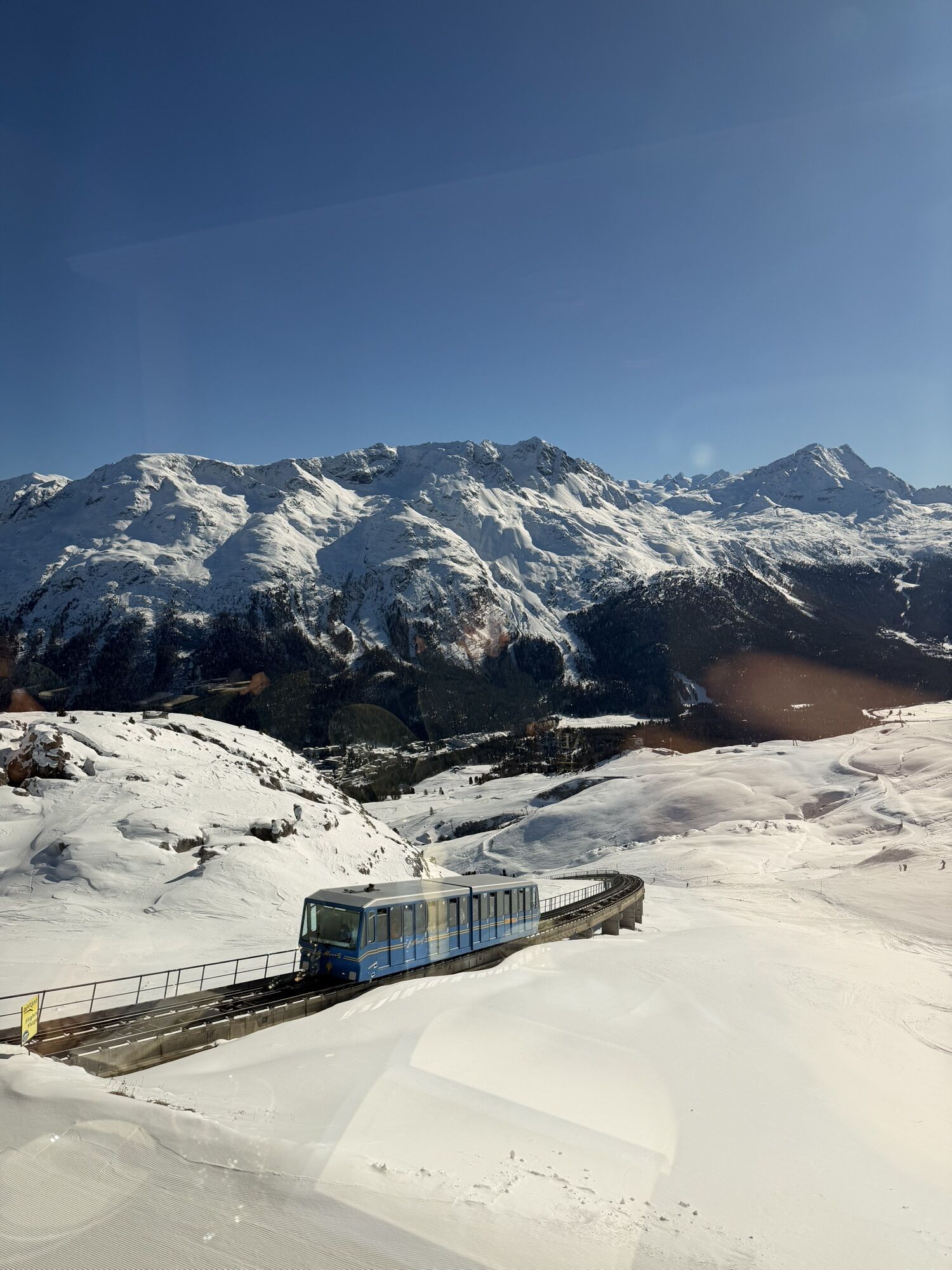
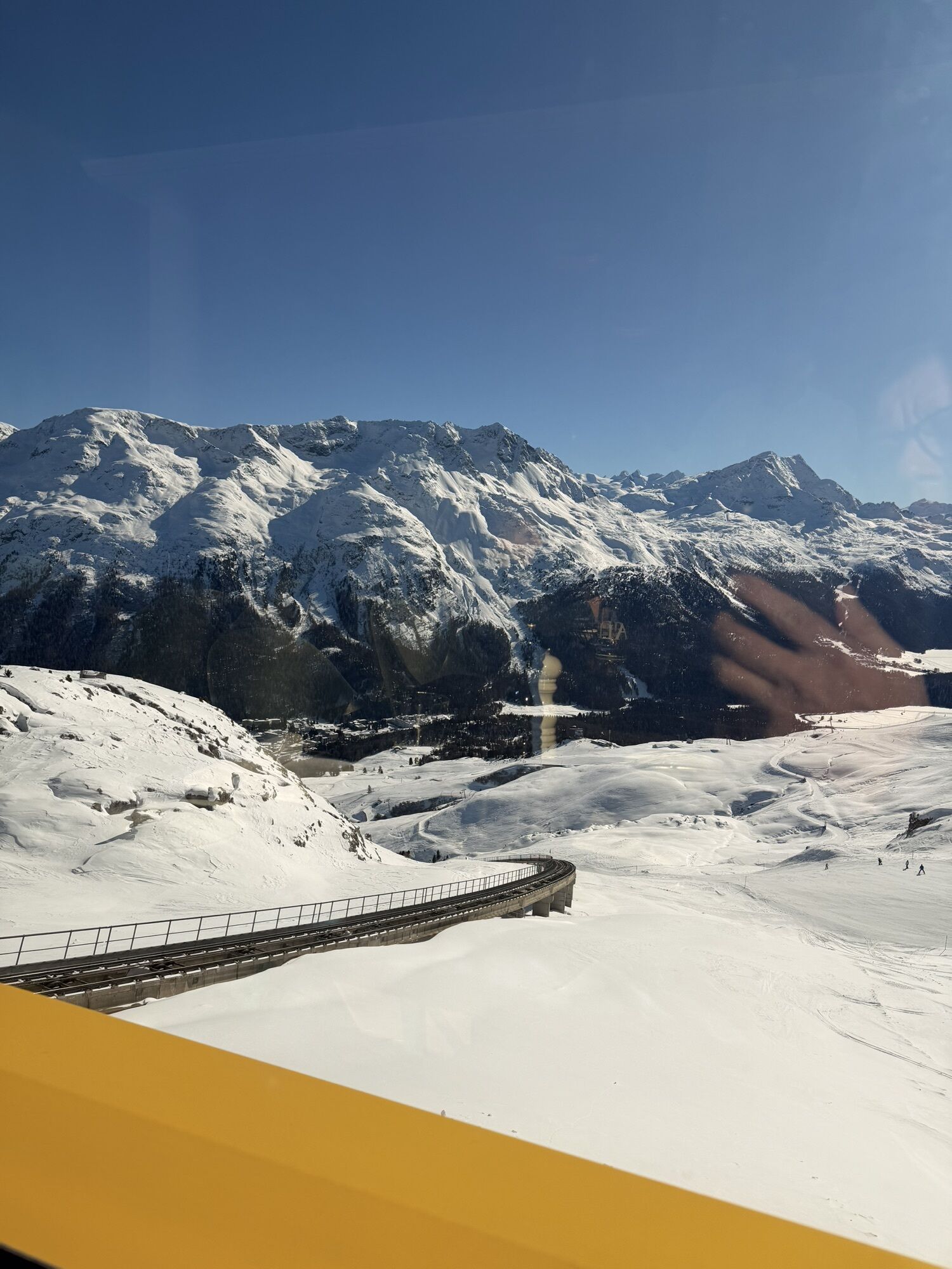
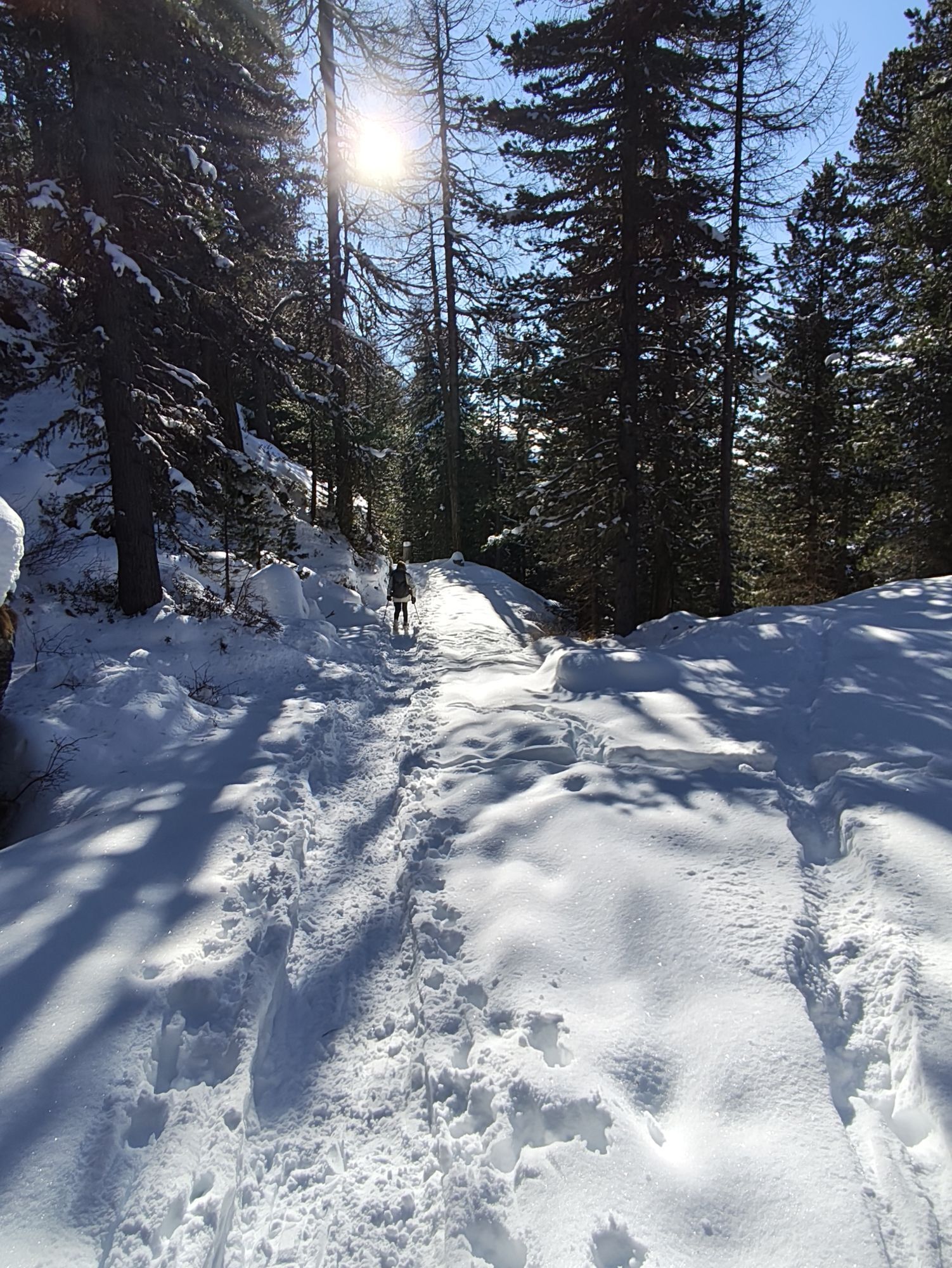
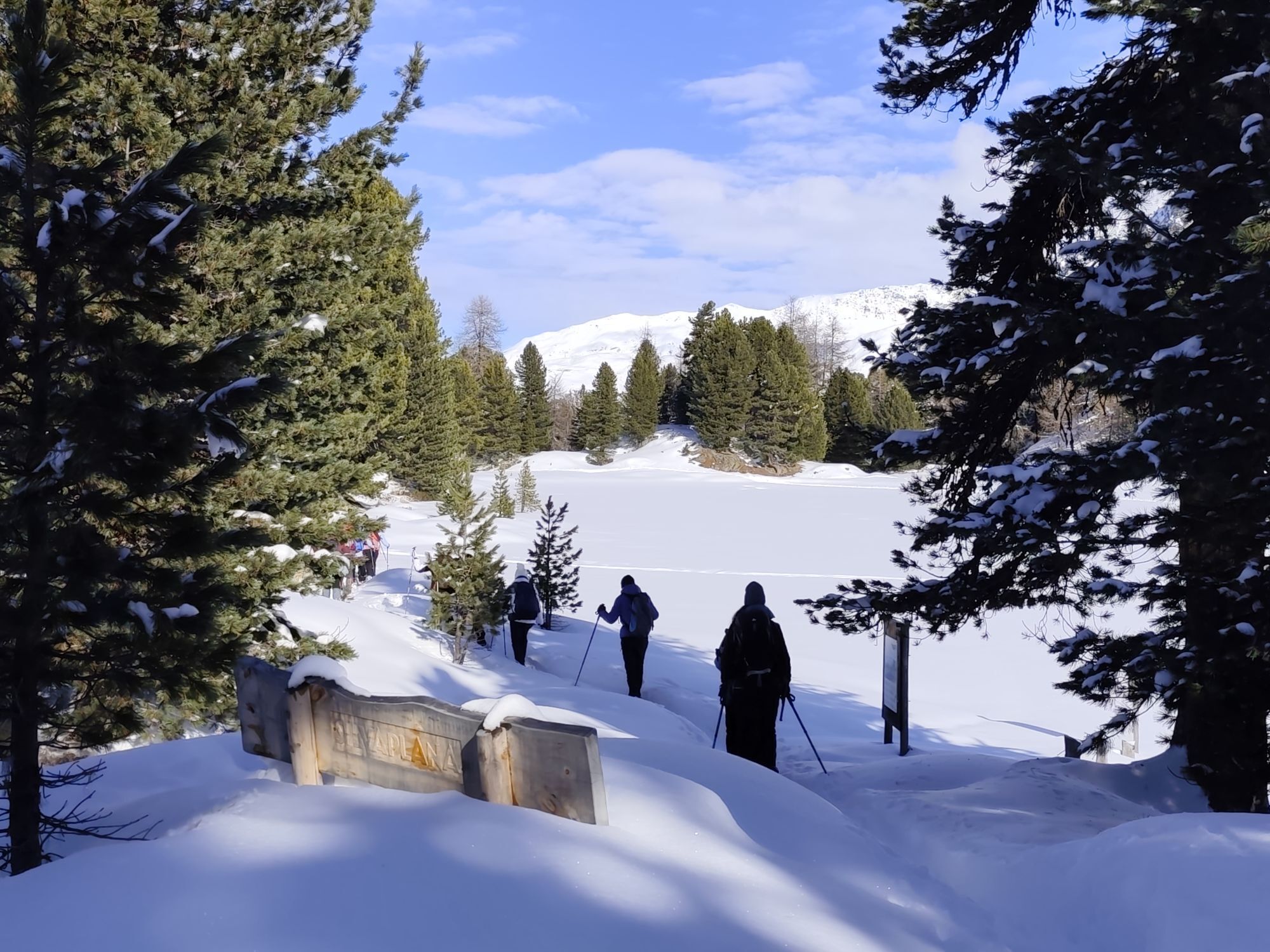
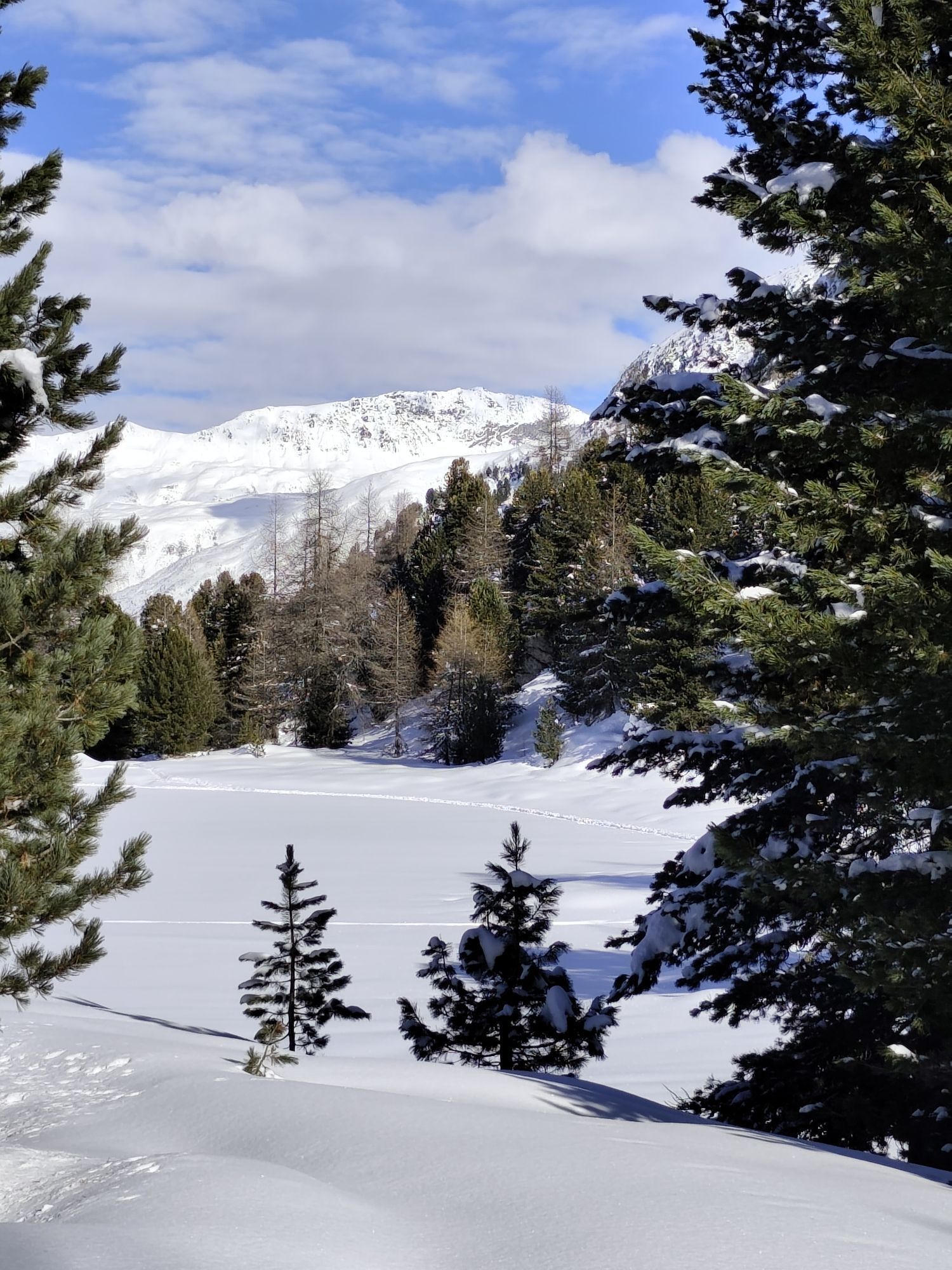
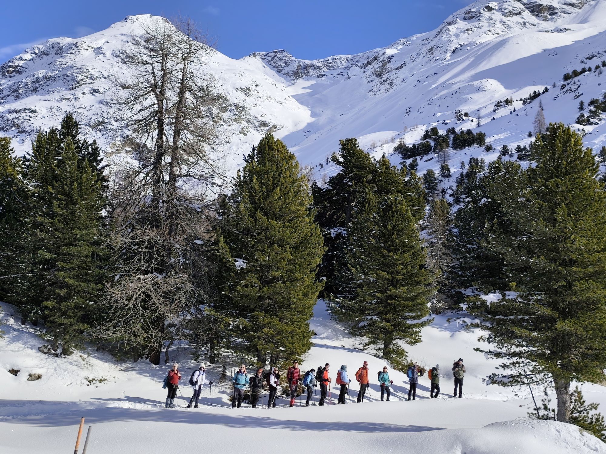
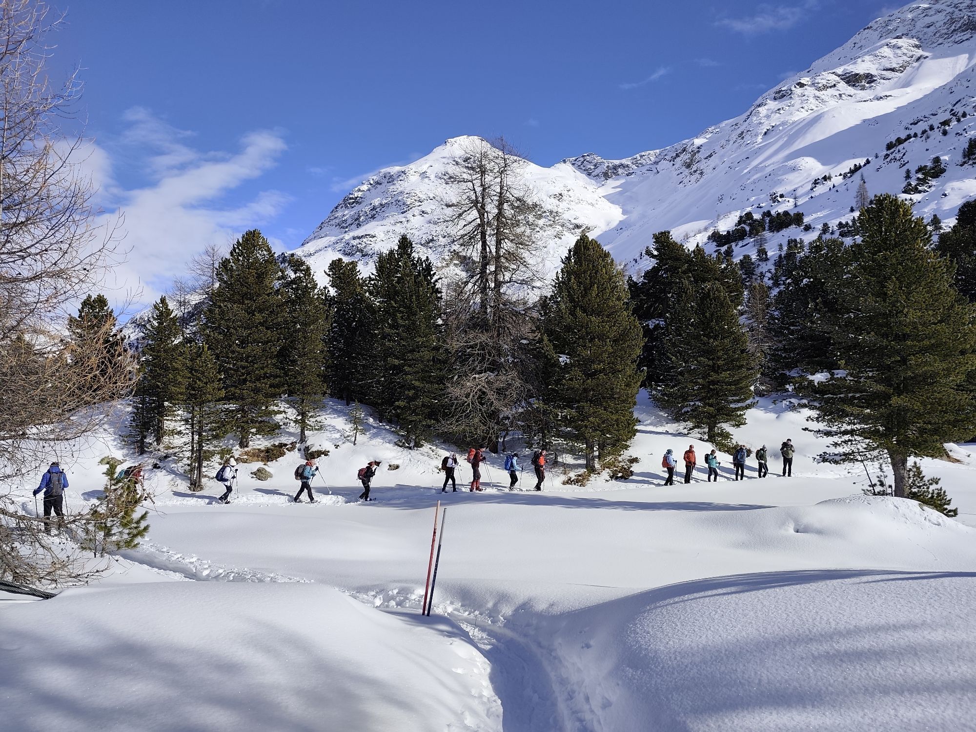
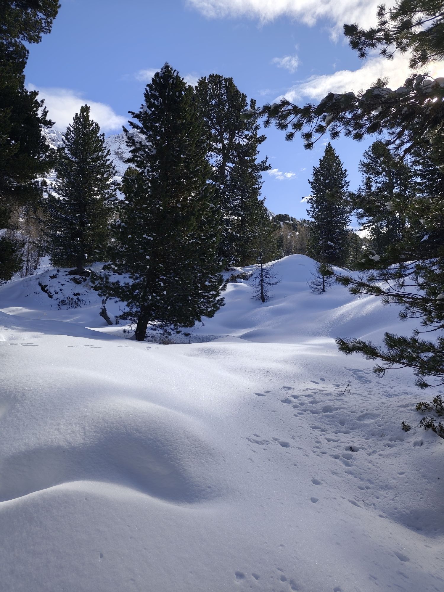
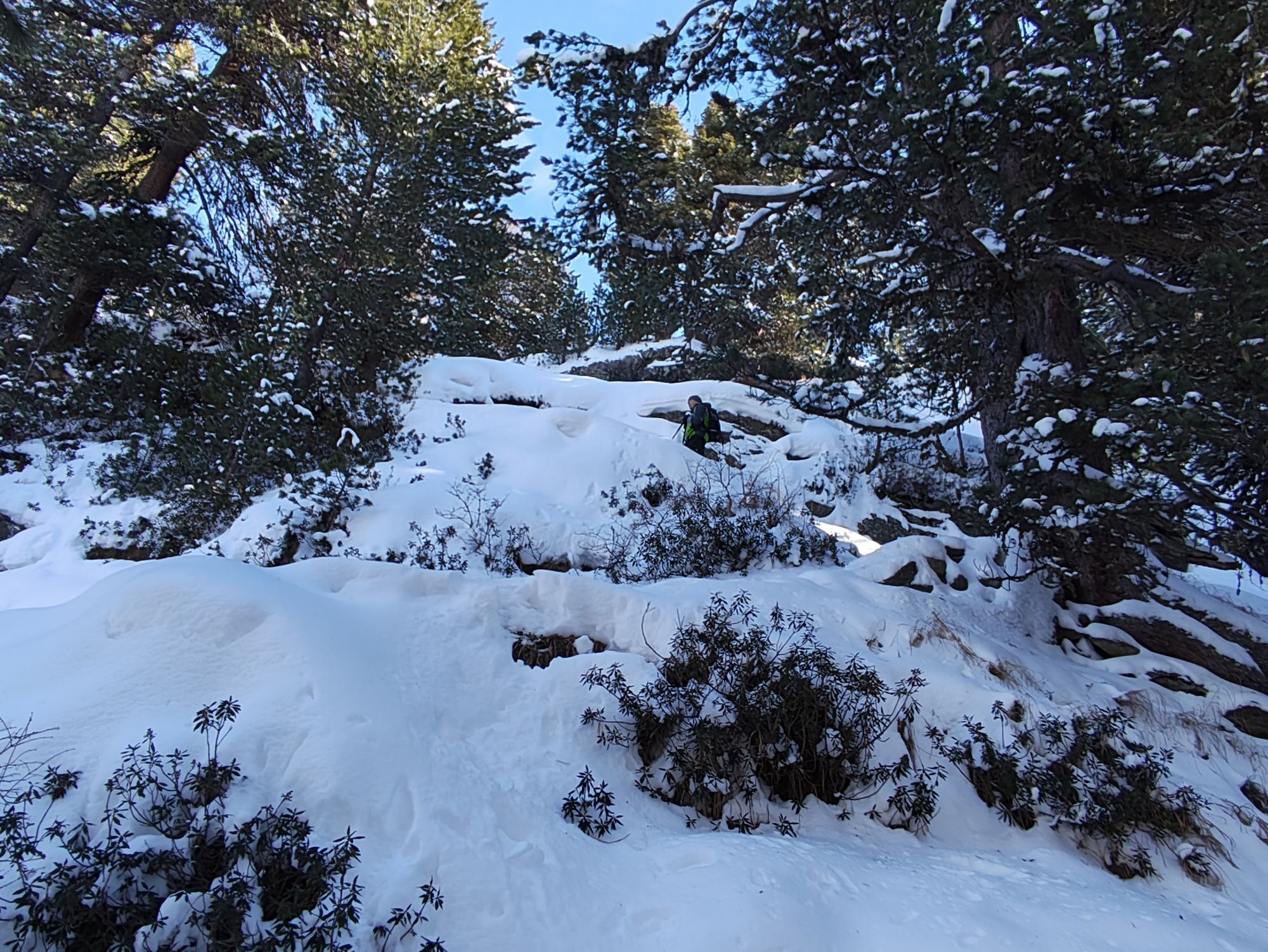
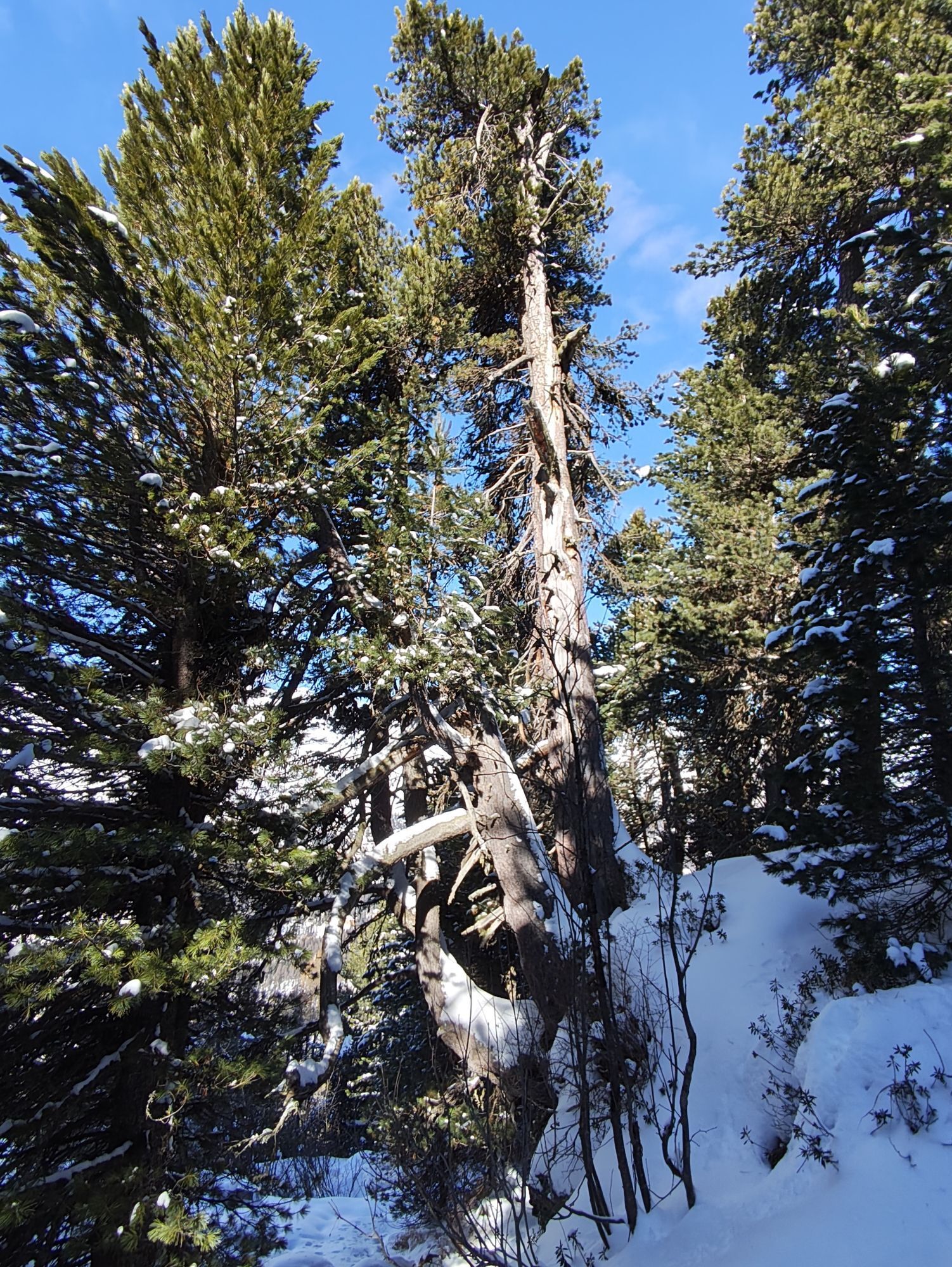
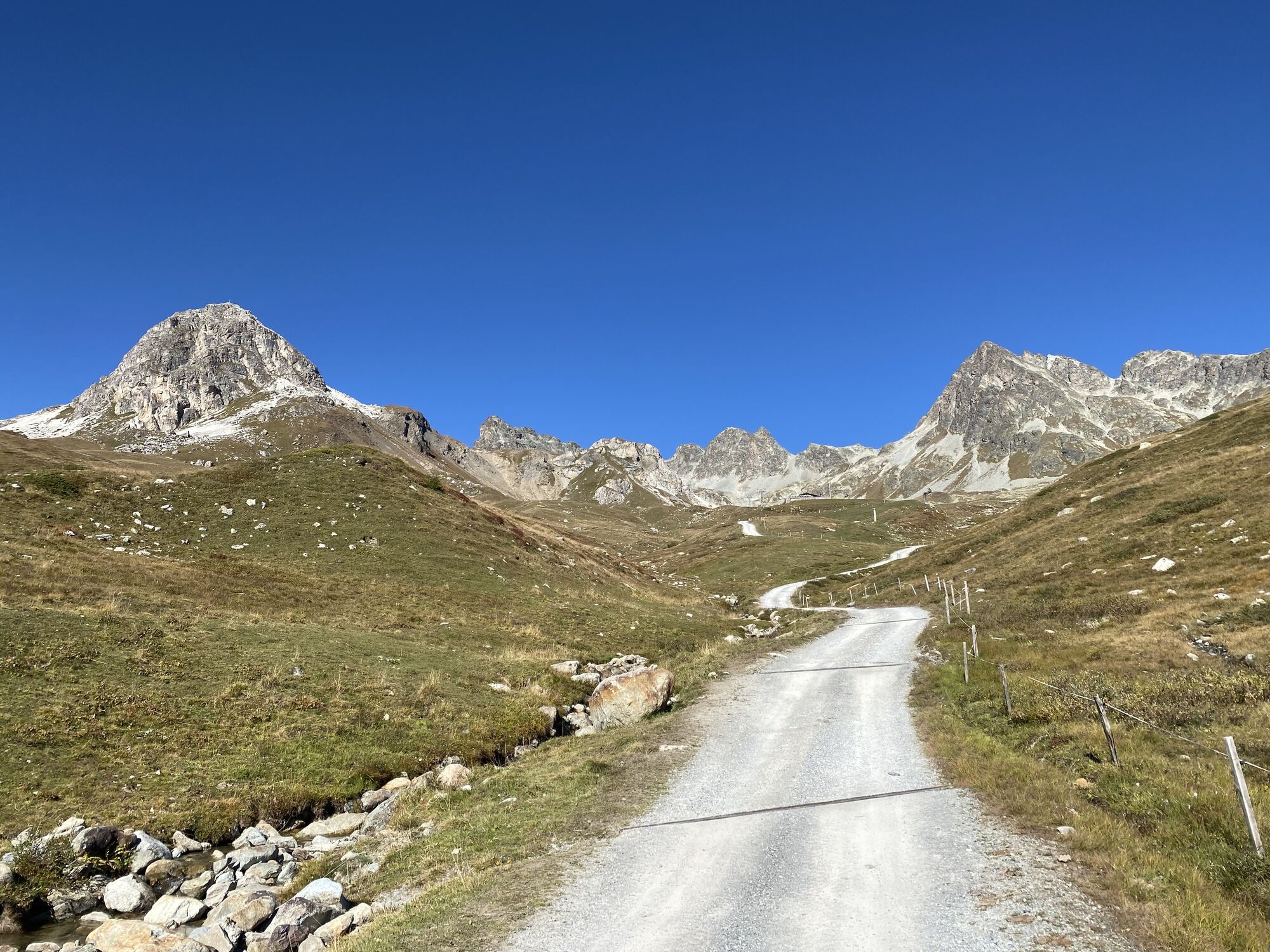
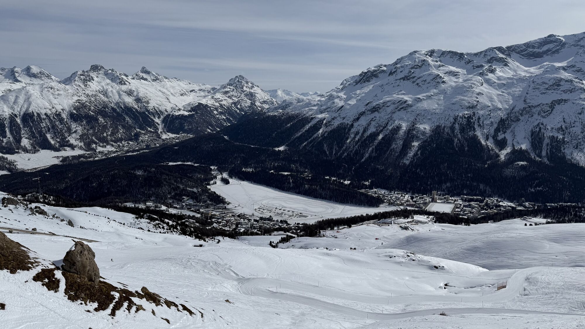
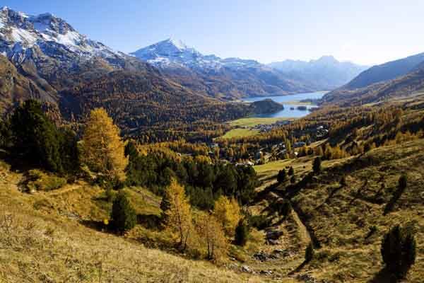
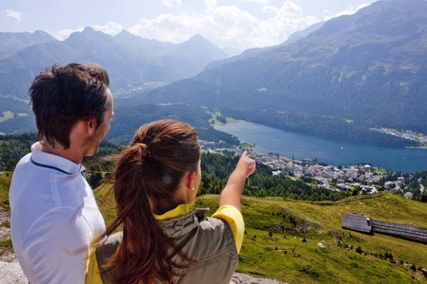
The second stage of the Via Engiadina begins in Silvaplana, along a stretch of the Julier Pass road, and then over fragrant meadows heading towards St. Moritz. Soon we behold this glamorous Alpine metropolis...
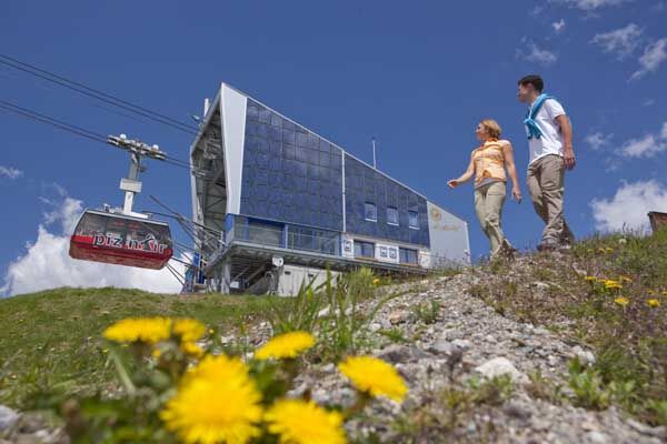
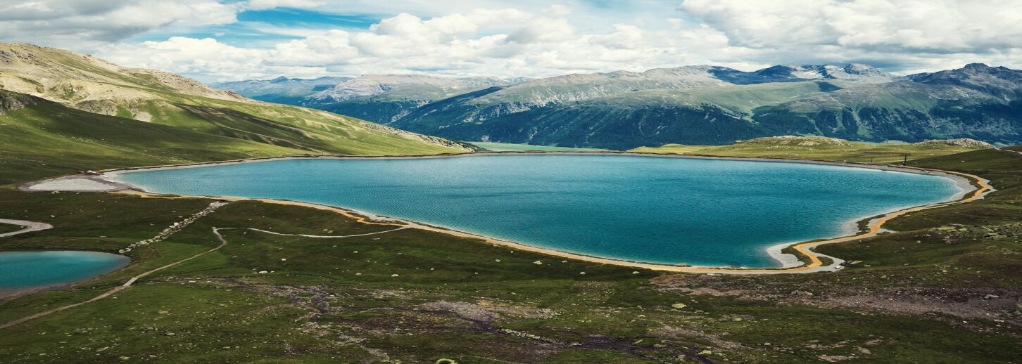
The second stage of the Via Engiadina begins in Silvaplana, along a stretch of the Julier Pass road, and then over fragrant meadows heading towards St. Moritz. Soon we behold this glamorous Alpine metropolis with its majestic hotels nestled on the left bank of Lake St. Moritz. Over a bubbling mountain creek we reach the Corviglia area, the home mountain of St. Moritz. Our path first leads past the fashionable mountain restaurant El Paradiso and the Chasellas chairlift top station, then climbs up to the Corviglia top station at over 2400 m above sea level. Here you must conquer one last steep ascent before the deep blue reservoir lake Lej Alv lies at our feet. Now the trail leads comfortably on paths to Marguns, high above Celerina. From Marguns, the gondola can be taken down to Celerina or, if you prefer, descend on the alpine path.
Additional information
Engadin Tourism AG
Via Maistra 1
CH-7500 St. Moritz
Phone: +41 81 830 00 01
E-mail: allegra@engadin.ch
Website: www.engadin.ch
Booking
Eurotrek AG
Zürcherstrasse 42
CH-8103 Unterengstringen
Phone: +41 81 830 00 01
E-mail: eurotrek@eurotrek.ch
Website: www.eurotrek.ch/de/ch-via-engadina-6-5
Tour-Explorer
Mülistrasse 16
CH-7076 Parpan
Phone: +41 81 356 22 44
E-mail: info@tour-explorer.ch
Website: www.tour-explorer.ch


Silvaplana - Tschüchas - Alp Suvretta - Alp Giop - Corviglia - Marguns
Ano
Ano
Surlej Bridge parking lot
The last gondola from Marguns down to Celerina runs at 5:00 p.m.
Trottinettes can also be rented at Marguns for the descent.
Webové kamery z prohlídky
Corviglia
Corvatsch
Marguns - Plateau Nair
Samedo - Engadin Golf
Corviglia
Corviglia
Corviglia
Corviglia
Corviglia
Corviglia
Sils - Hotel Waldhaus
Corviglia
Silvaplana - Mittelstation Murtèl
Silvaplana - Mittelstation Murtèl
Silvaplana - Mittelstation Murtèl
Silvaplana - Mittelstation Murtèl
Silvaplana - Mittelstation Murtèl
Corvatsch
Corvatsch
Corvatsch
Corvatsch
Corvatsch
Corvatsch
Celerina - Cresta Palace
Piz Nair - St. Moritz
Celerina - Skiwiese Provuler
St. Moritz / Trais Fluors Bergstation
St. Moritz - Berghotel Randolins
Samedan - Engadin Airport
El Paradiso
Piz Nair Bergstation
Piz Nair Bergstation
Piz Nair Bergstation
Piz Nair Bergstation
Piz Nair Bergstation
Piz Nair Bergstation
Piz Nair Bergstation
Piz Nair Bergstation
Trais Fluors Bergstation
Trais Fluors Bergstation
Získejte přehled Vždy živě na místě s více než 9 500 webkamerami. bergfex Jako uživatel Pro si nyní můžete zobrazit odpovídající webové kamery pro mnoho prohlídek v aplikaci prohlídky z. Můžete si tak přímo prohlédnout aktuální podmínky. Oblíbené prohlídky v okolí
- 4.7
Diavolezza - Munt Pers
světloTuristika 3.82 km - 5.0
Morteratsch station - Boval Hut
středníTuristika 10.5 km - 5.0
Muottas Muragl - Segantini hut - Pontresina
středníTuristika 6.46 km - 4.4
Panoramic route Muottas Muragl
světloTuristika 6.75 km - 4.8
Maloja - Motta Salacina - Lägh da Cavloc - Maloja
středníTuristika 10.3 km - 4.5
Pontresina - Val Roseg - Pontresina
světloTuristika 13.8 km - 4.7
SAC Tschierva
světloTuristika 24.7 km - 4.8
Morteratsch Glacier route
světloTematická stezka 2.88 km Muottas Muragl - Segantini Hütte - Pontresina
středníTuristika 17.5 km- 5.0
Lej Muragl
středníTuristika 7.39 km

Pěší turistika a stopování


Nenechte si ujít nabídky a inspiraci pro vaši příští dovolenou
Vaše e-mailová adresa byl přidán do poštovního seznamu.





