


Via Grischuna Stage 4: Spinas - Bivio
Fotografie našich uživatelů
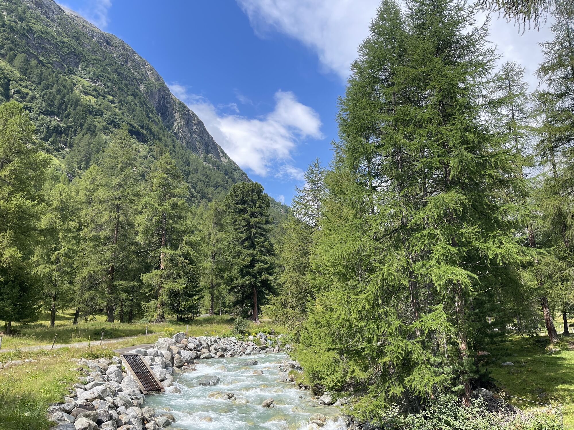
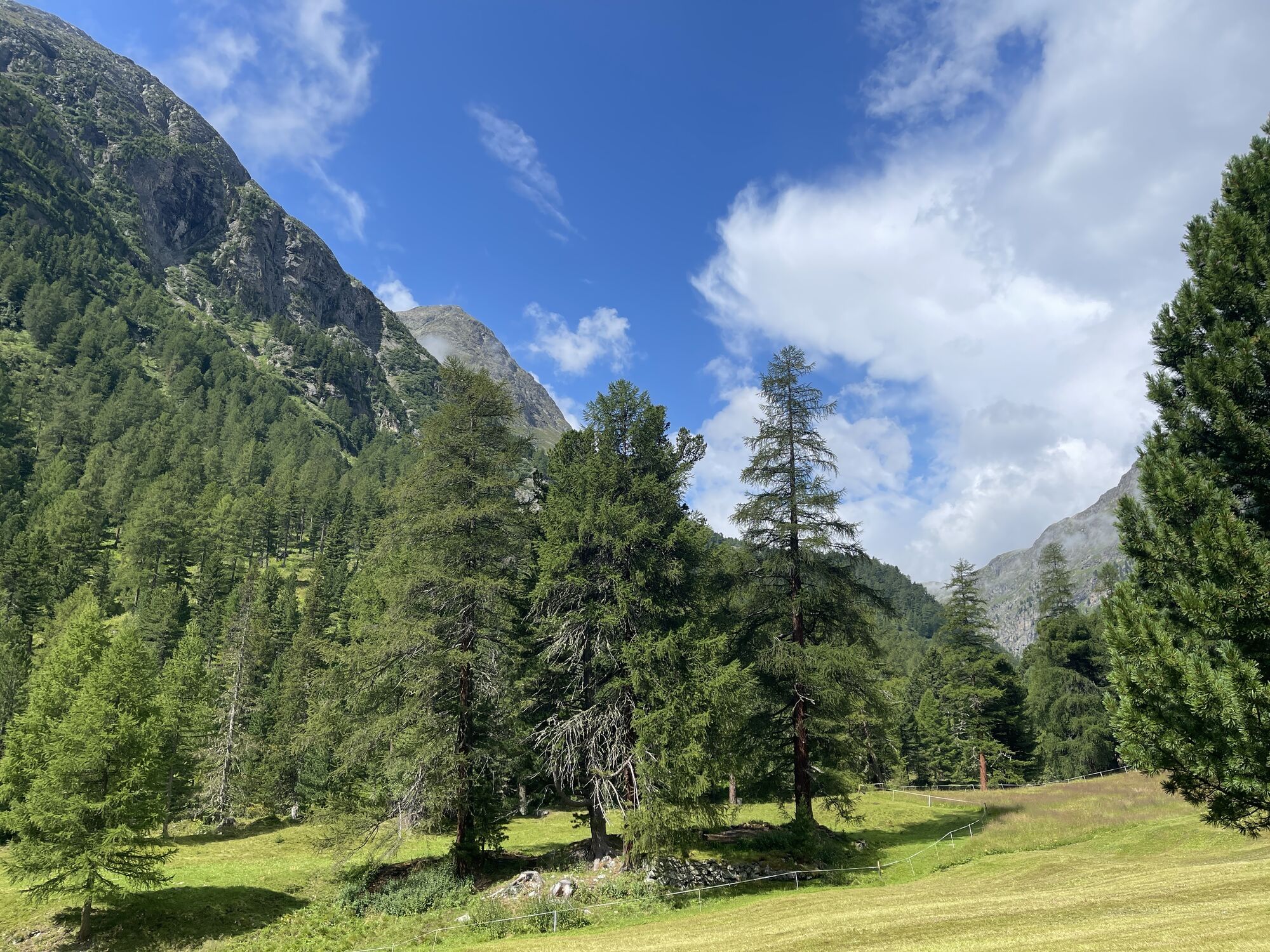
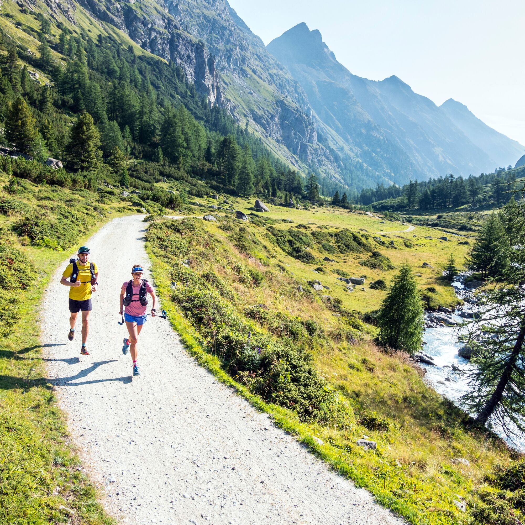
A long, gentle ascent takes you deep into Val Bever. At Alp Suvretta, cross the bridge and follow the Beverin river to the rear part of the valley. Now you climb up to Chamanna Jenatsch and enter a completely...
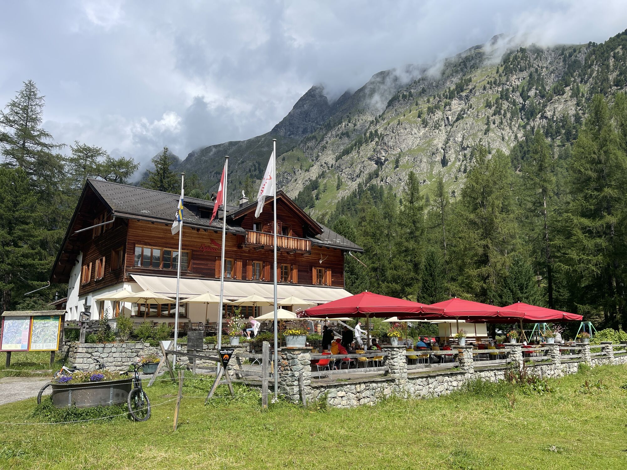
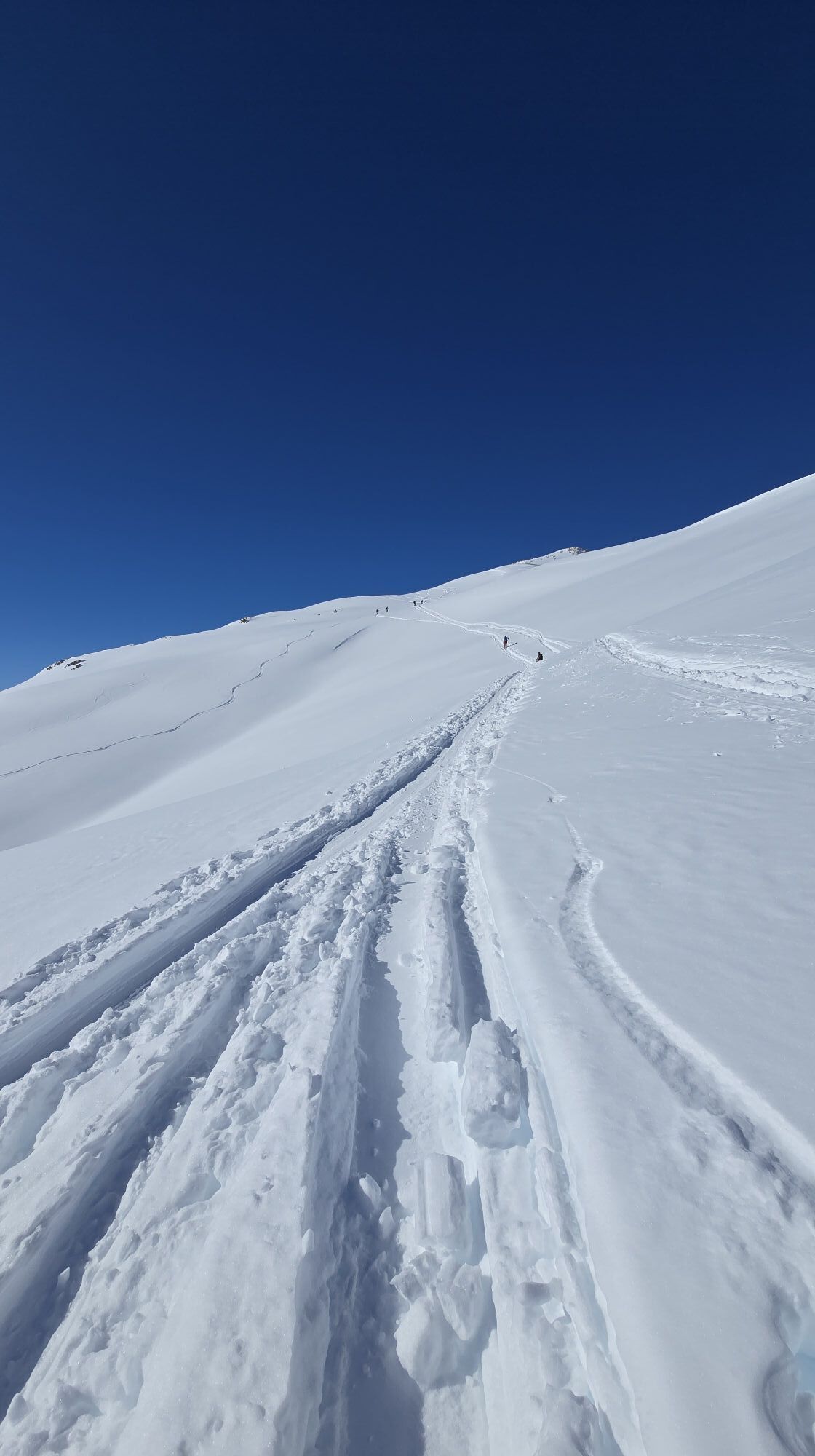
The descent is steep and requires concentration. At the fork, you ascend again to the next pass, Fuorcla digl Leget. From here begins the long descent through pastureland to Bivio. The village is a welcome sight after this long stage.
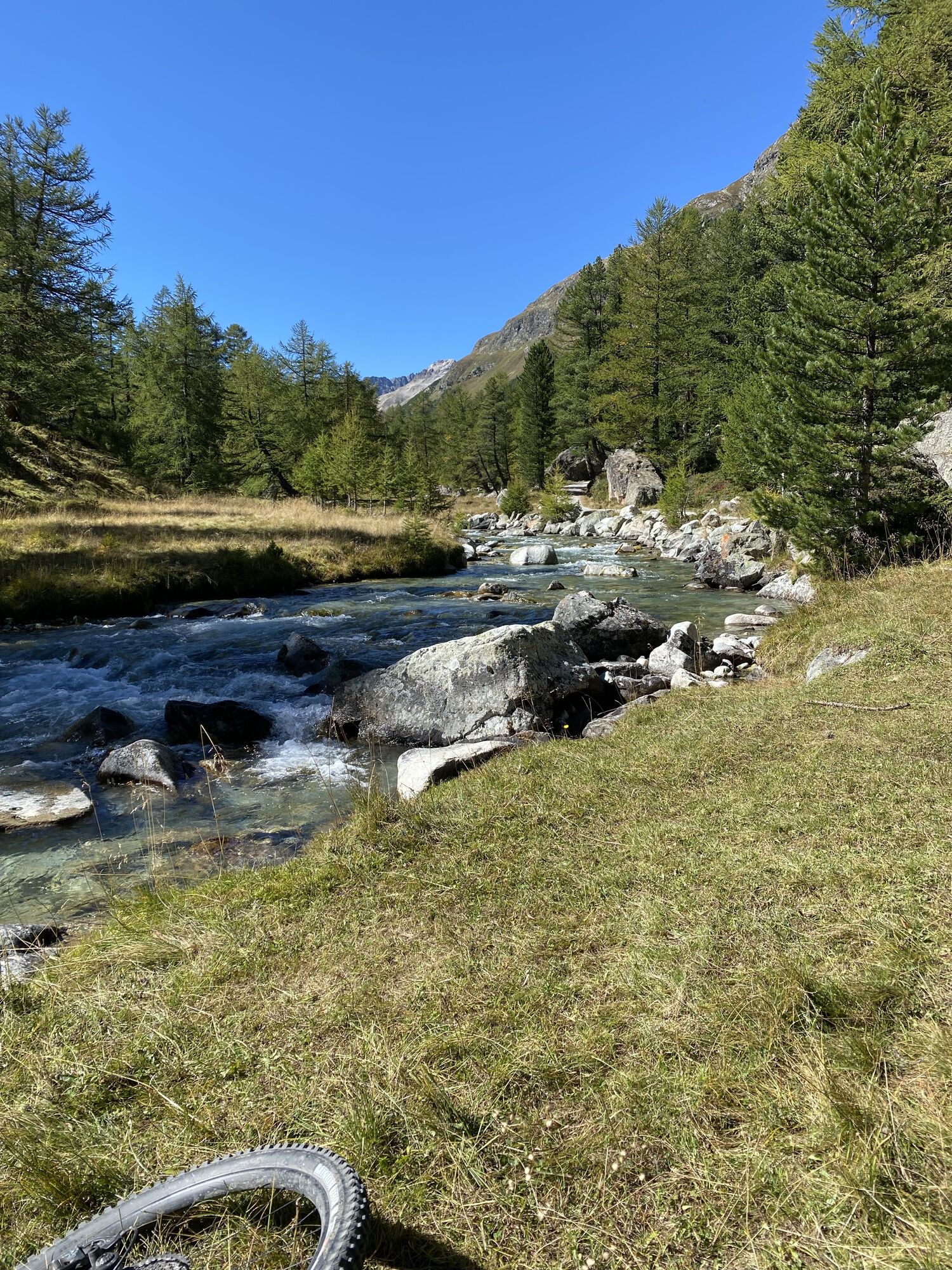
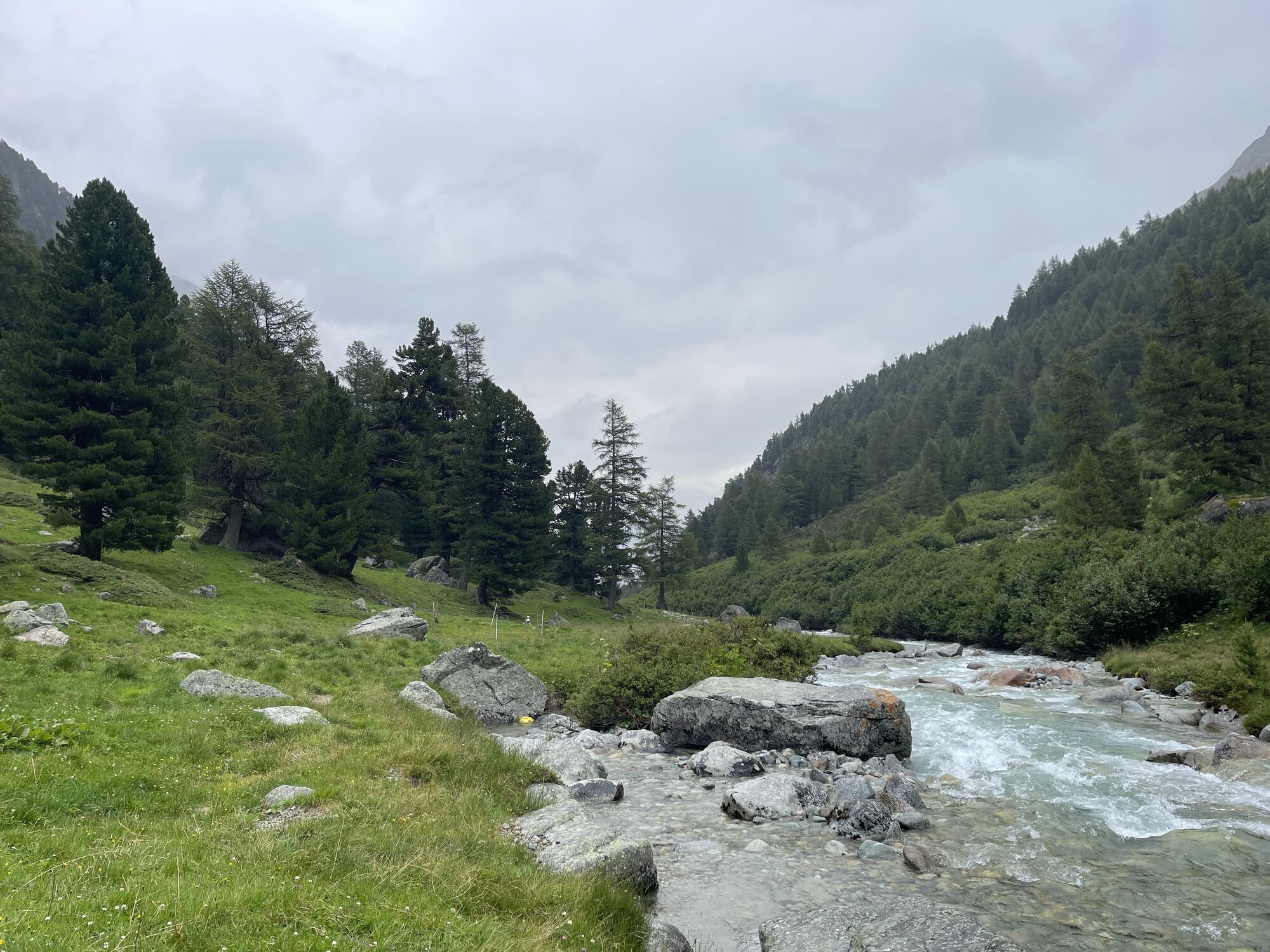
If you still haven't had enough, we recommend the rear Val Bever, where the landscape and especially the Beverin river can be seen in its wild, unspoilt state. Against this backdrop, it has been awarded the ‘Gewässerperle PLUS’ label since summer 2021.
Gewässerperle PLUS – a natural gem of national importance
The Beverin is the first river in Switzerland to be awarded the ‘Gewässerperle PLUS’ label. The 13.5-kilometre-long mountain stream received this special honour because it has remained largely untouched by humans – a true wild stream without artificial corrections. From its source near Piz d'Err to just before Bever, the Beverin meanders freely through the picturesque Val Bever, surrounded by valuable fens and floodplain landscapes. This unspoilt mountain water world provides an ideal habitat for many rare animal and plant species, including otters, brown trout, stoneflies and numerous willow species. The label recognises not only the ecological value of the Beverin, but also the commitment of the municipality of Bever to preserving this unique natural paradise.
Further information
Engadin Tourismus AG
Via Maistra 1
CH-7500 St. Moritz
Phone: +41 81 830 00 01
E-mail: allegra@engadin.ch
Internet: www.engadin.ch
Booking
Eurotrek AG
Zürcherstrasse 42
CH-8103 Unterengstringen
Phone: +41 44 316 10 00
E-mail: eurotrek@eurotrek.ch
Internet: www.eurotrek.ch/Via_Grischuna

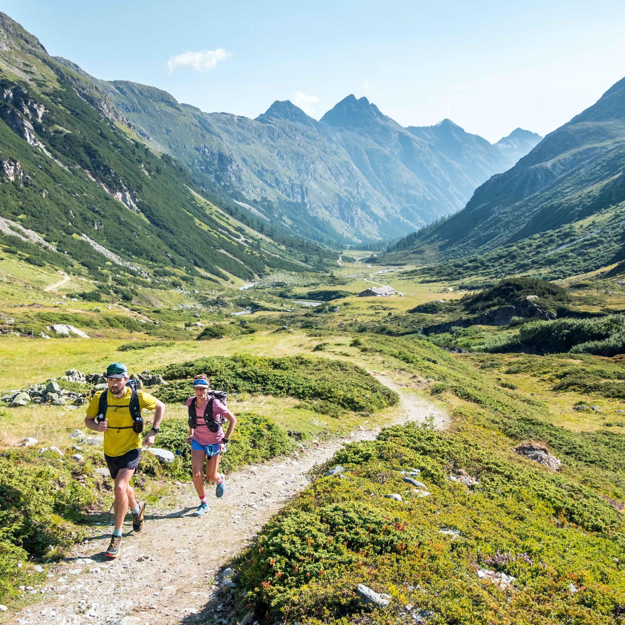
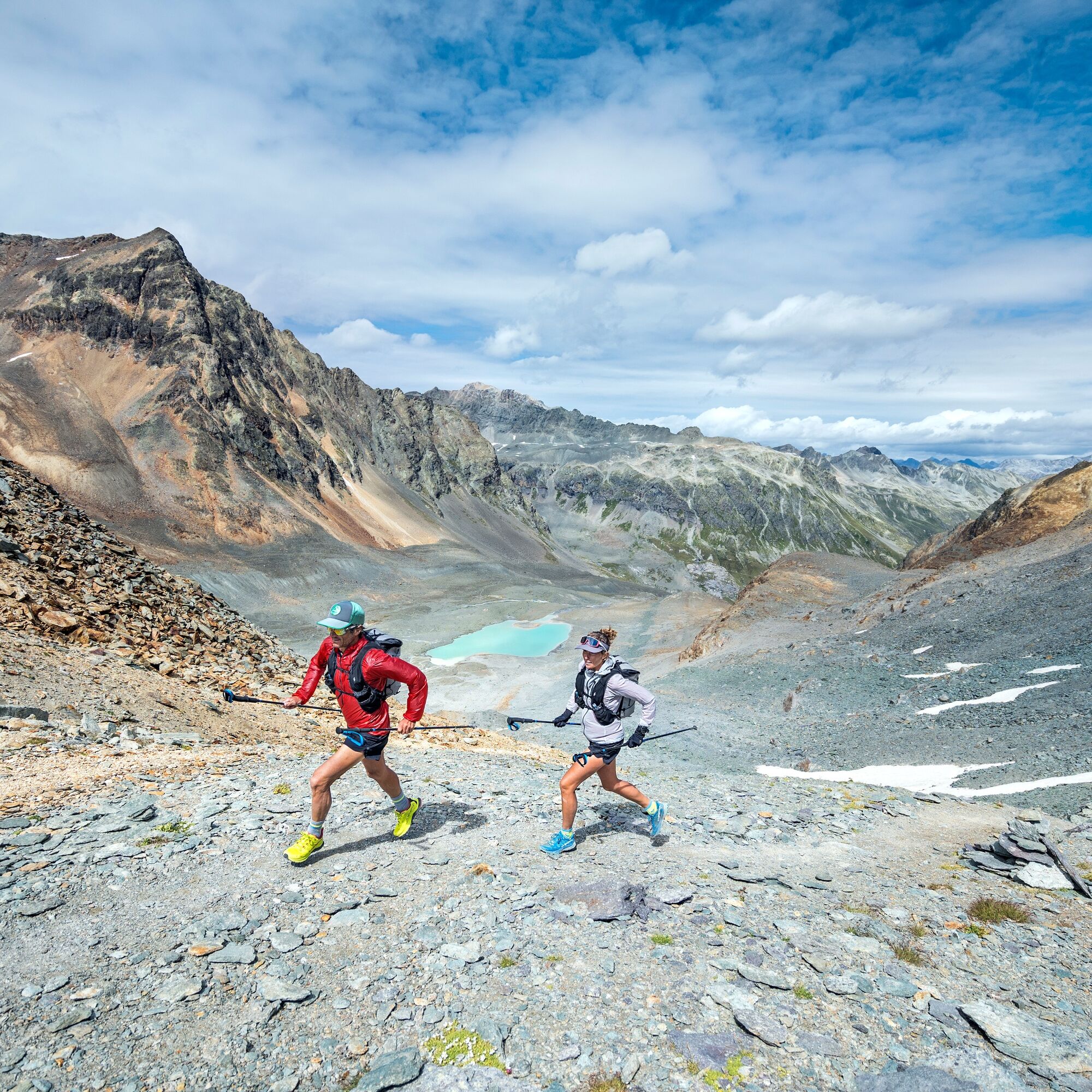
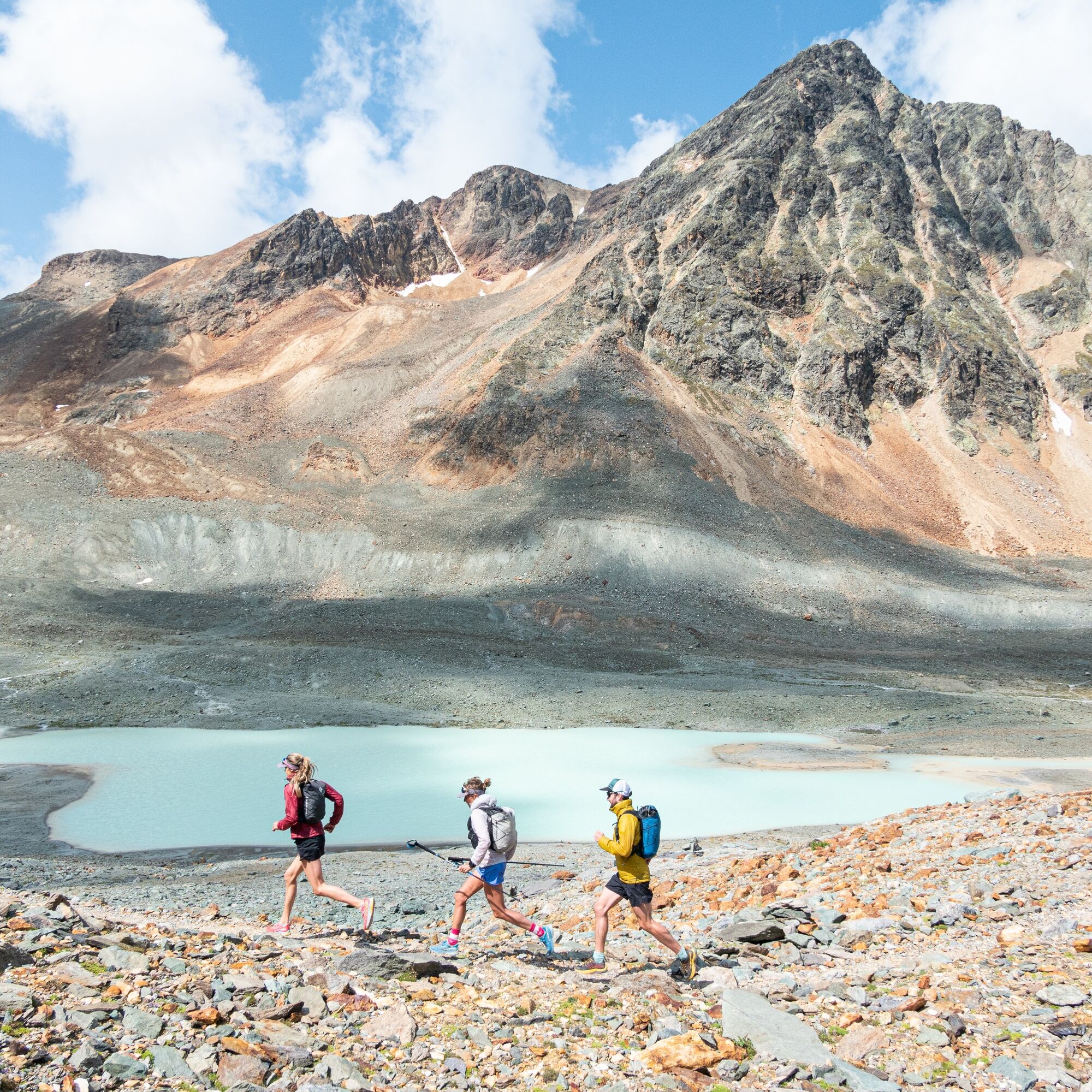
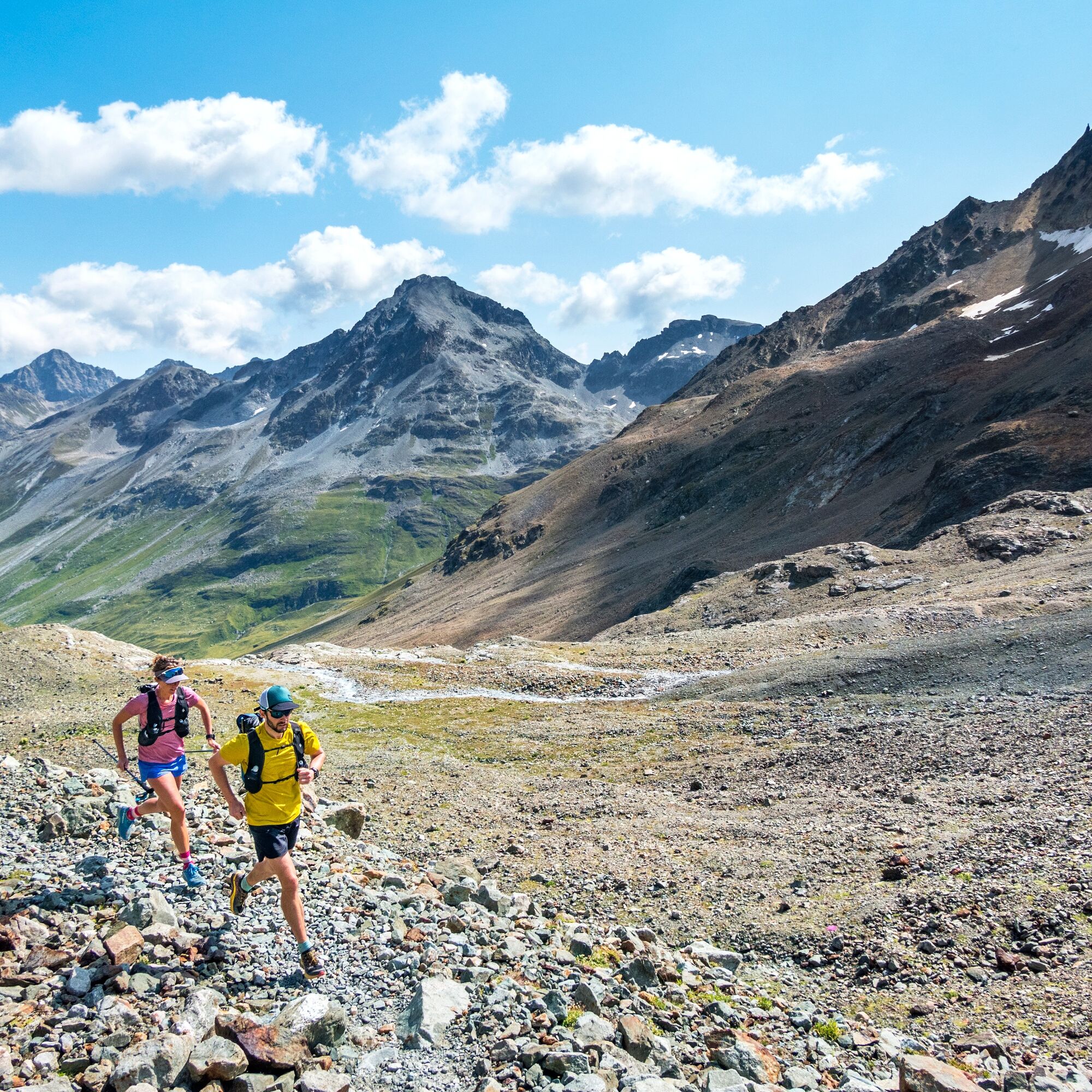
Spinas - Chamanna Jenatsch - Fuorcla d'Agnel - Fuorcla digl Leget - Bivio
Ano
On this stage, you pass through the geologically interesting Jenatsch area.
Webové kamery z prohlídky
Samedo - Engadin Golf
Piz Nair - St. Moritz
St. Moritz / Trais Fluors Bergstation
Samedan - Engadin Airport
Preda - Albulatunnel
Piz Nair Bergstation
Piz Nair Bergstation
Piz Nair Bergstation
Piz Nair Bergstation
Piz Nair Bergstation
Piz Nair Bergstation
Piz Nair Bergstation
Piz Nair Bergstation
Trais Fluors Bergstation
Trais Fluors Bergstation
Trais Fluors Bergstation
Trais Fluors Bergstation
Trais Fluors Bergstation
Trais Fluors Bergstation
Trais Fluors Bergstation
Trais Fluors Bergstation
Bivio - Camon

Oblíbené prohlídky v okolí
- 5.0
Muottas Muragl - Segantini hut - Pontresina
středníTuristika 6.46 km - 4.4
Panoramic route Muottas Muragl
světloTuristika 6.75 km - 4.8
Maloja - Motta Salacina - Lägh da Cavloc - Maloja
středníTuristika 10.3 km - 4.5
Pontresina - Val Roseg - Pontresina
světloTuristika 13.8 km - 4.7
SAC Tschierva
světloTuristika 24.7 km Muottas Muragl - Segantini Hütte - Pontresina
středníTuristika 17.5 km- 5.0
Lej Muragl
středníTuristika 7.39 km - 4.3
Val Roseg
středníZimní turistika 6.96 km - 4.8
Around Lake St. Moritz
světloTuristika 4.32 km - 4.6
Marathon
středníBěh na lyžích 42.9 km

Pěší turistika a stopování


Nenechte si ujít nabídky a inspiraci pro vaši příští dovolenou
Vaše e-mailová adresa byl přidán do poštovního seznamu.