






A Walk Through the Revitalized Inn Floodplains in Bever
Úroveň obtížnosti: T1
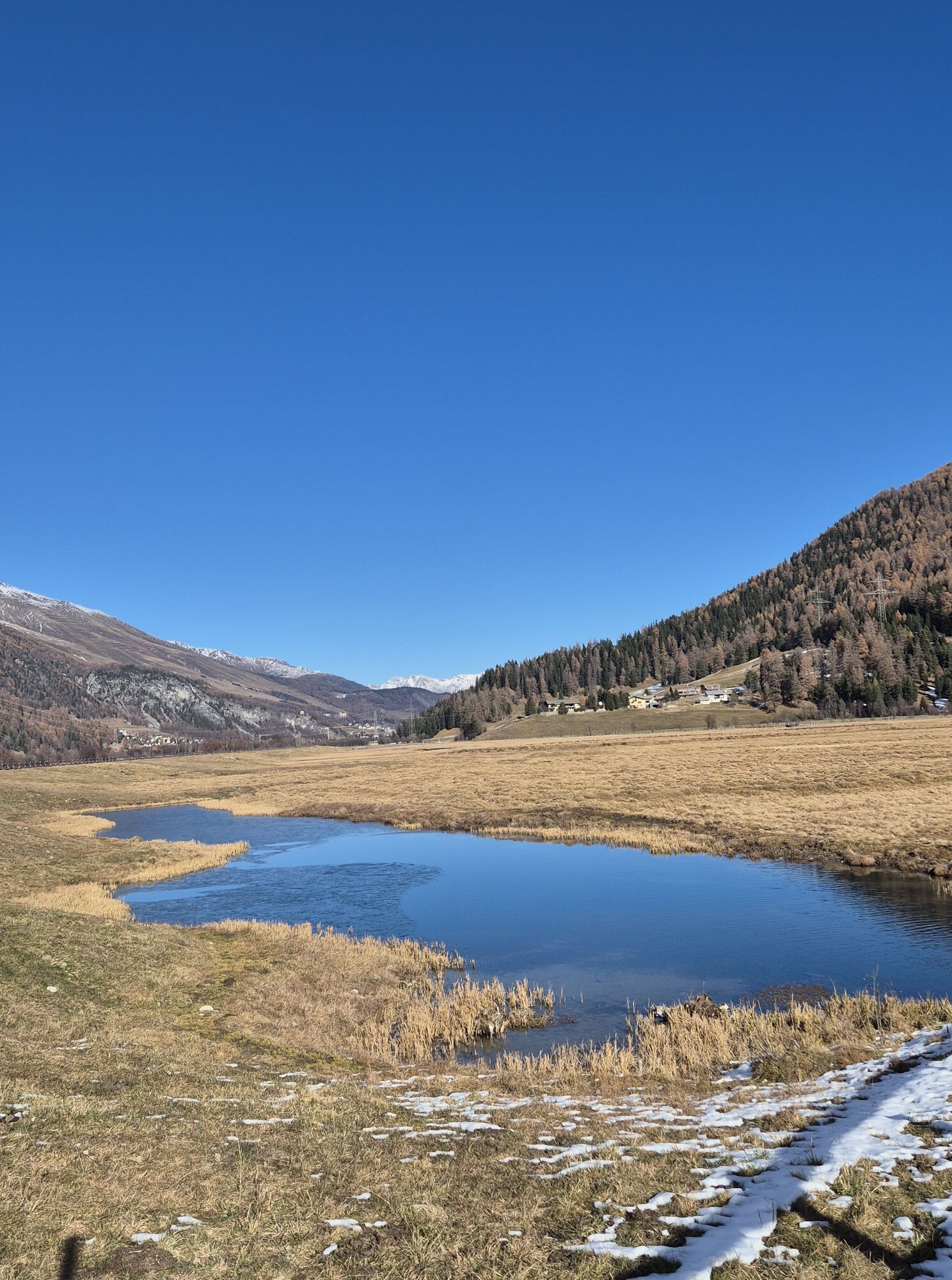
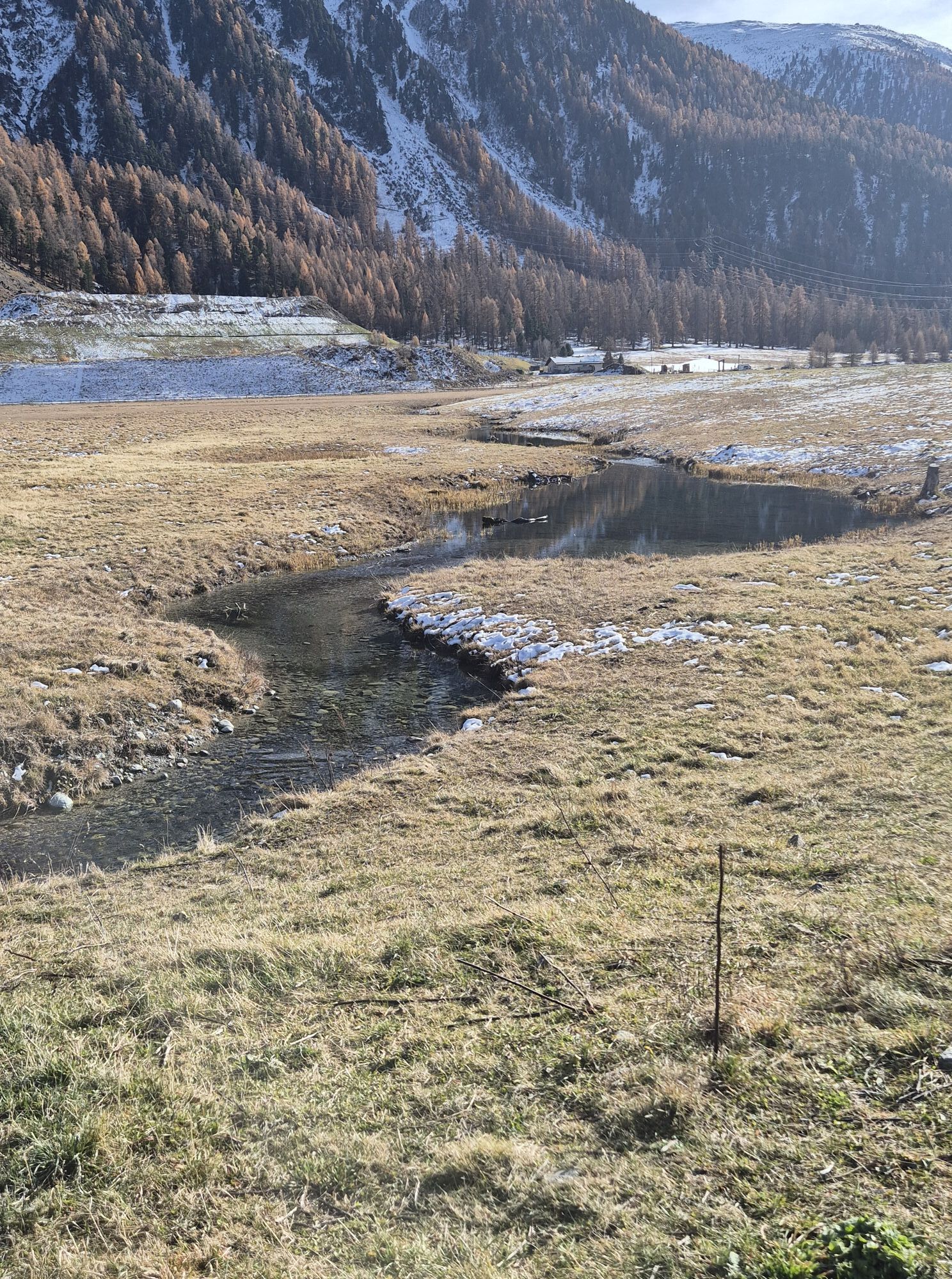
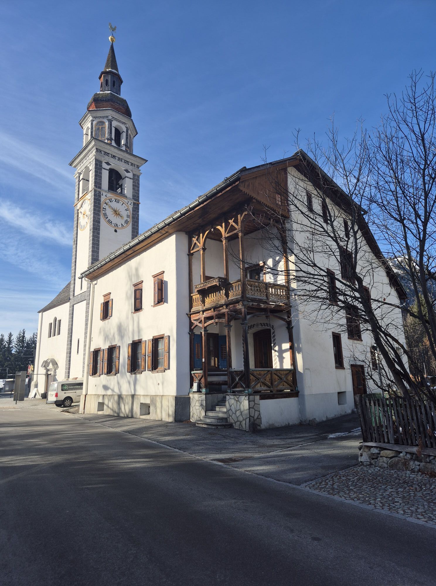
Our ancestors tamed the Inn in the middle of the last century. The dams they built reliably protected Bever and the surrounding villages from flooding for many decades. At the same time, however, a part...
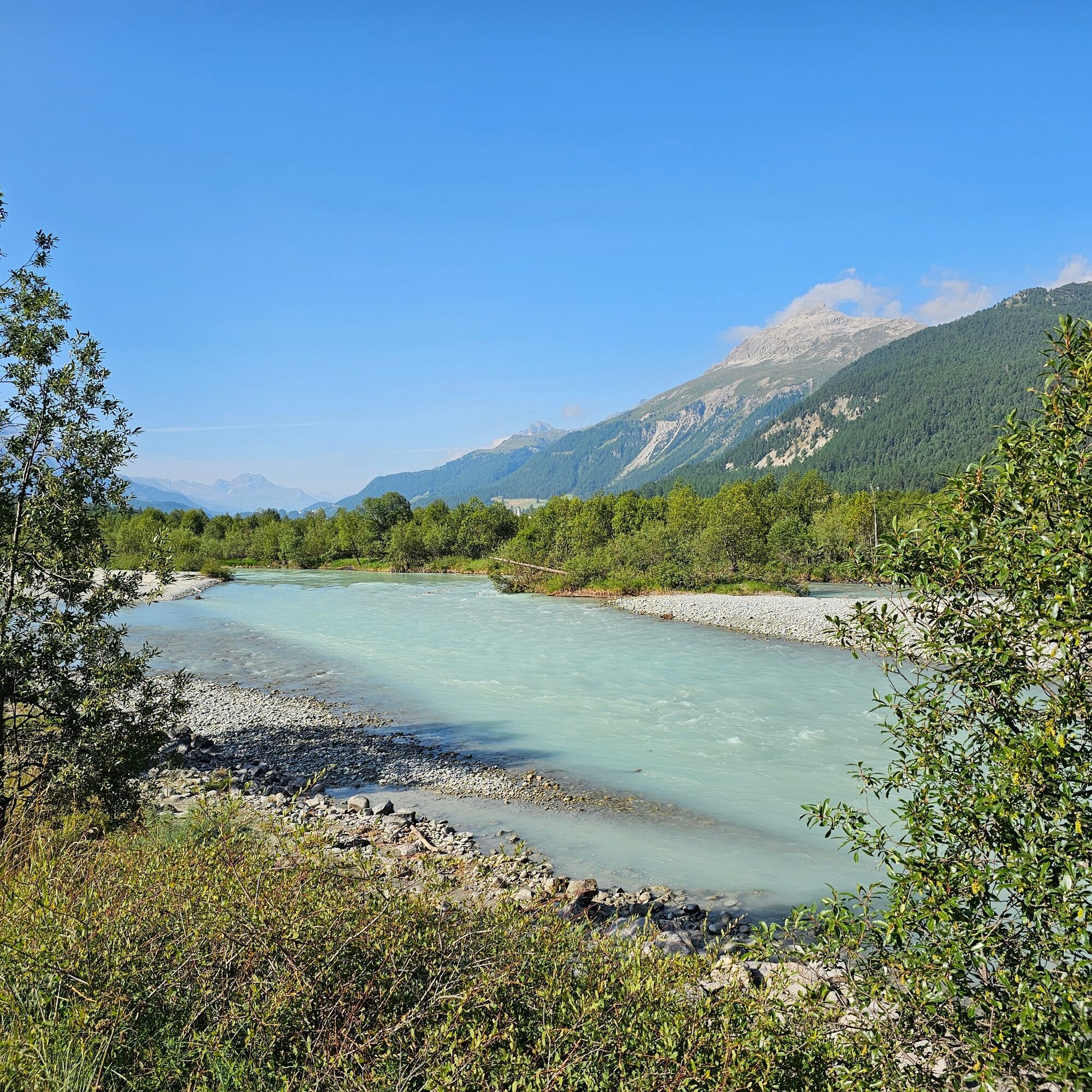
Since 2012, the Inn has been gradually regaining its natural character. As part of a multi-year revitalization project, expansive floodplains, gravel banks, and tranquil riparian zones are being restored. With them, numerous rare animal species are also returning: otters and beavers are finding a home here once again, little ringed plovers and common sandpipers are nesting on the gravel banks, while grayling, brown trout, and many other species are discovering new habitats in the revitalized river.
On this roughly two-hour loop trail, you’ll learn fascinating facts about the Inn floodplains and their diverse flora and fauna. If you have binoculars, it’s worth bringing them along. With a little patience and a keen eye, you can get a particularly good look at rare waterbirds such as little ringed plovers, common sandpipers, or the white-throated dipper.
It’s a joy to see nature flourishing once again along the Inn. Discover this unique river landscape, enjoy its special diversity, and help preserve this valuable habitat for plants and animals by behaving respectfully.
We hope you have a great time and satisfy your thirst for knowledge! Scan the QR code in the display case at the train station and start your virtual tour. Good to know: Your smartphone must have an internet connection. The smartphone’s GPS location service must be enabled. A fully charged battery is recommended.


There are parking spaces at the Bever train station
T1
If your stomach is growling, it's worth stopping by Thomas Jost's food trailer, Via Isellas.
Získejte přehled Vždy živě na místě s více než 9 500 webkamerami. bergfex Jako uživatel Pro si nyní můžete zobrazit odpovídající webové kamery pro mnoho prohlídek v aplikaci prohlídky z. Můžete si tak přímo prohlédnout aktuální podmínky. Oblíbené prohlídky v okolí
- 5,0
Morteratsch station - Boval Hut
středníTuristika 10,5 km - 4,8
Circular hike Val Trupchun in the Swiss National Park
středníTuristika 13,8 km - 4,6
Panoramic route Muottas Muragl
světloTuristika 6,75 km - 5,0
Muottas Muragl - Segantini hut - Pontresina
středníTuristika 6,46 km - 4,5
Pontresina - Val Roseg - Pontresina
světloTuristika 13,8 km - 4,7
SAC Tschierva
světloTuristika 24,7 km - 4,7
Morteratsch Glacier route
světloTematická stezka 2,88 km - 4,8
Around Lake St. Moritz
světloTuristika 4,32 km Muottas Muragl - Segantini Hütte - Pontresina
středníTuristika 17,5 km- 5,0
Lej Muragl
středníTuristika 7,39 km
Pěší turistika a stopování


Nenechte si ujít nabídky a inspiraci pro vaši příští dovolenou
Vaše e-mailová adresa byl přidán do poštovního seznamu.





