






Cho d'Valletta
Úroveň obtížnosti: PD
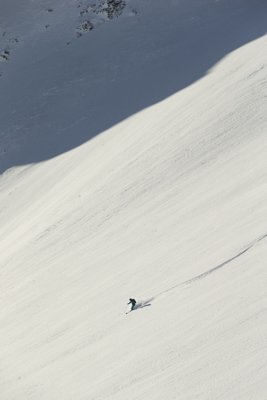
From Samedan train station to the Survih ski lift above the village (few parking spaces). Ascend here to P. 1932 in Val Muntatsch. Follow the summer path northeastwards and at approx. 2100 m leave the...
Alternative: If an ascent through the God da Munt seems too arduous, you can also take the alpine path from the Muntarütsch shooting range via Alpetta to Alp Muntatsch (winter hiking trail).
The descent follows the ascent route.


Ano
Complete safety equipment (avalanche transceiver, avalanche shovel, avalanche probe, cell phone) and knowledge of correct handling are essential.
The practice of ski touring in open terrain is at your own risk. Every ski tourer is strongly advised to prepare thoroughly, plan their route and obtain up-to-date information on the snow and avalanche situation. Avalanche report and snow information: www.slf.ch
No liability is accepted for accidents resulting from the use of the published information and route details.
In case of doubt, accompaniment by an experienced mountain guide is strongly recommended: www.govertical-mountainguides.ch
PD
Observe the Muntatsch / Clavadatsch game protection zones with the permitted access routes.
Webové kamery z prohlídky
-
Corviglia
-
St. Moritz / Samedan - Muottas Muragl
-
Samedo - Engadin Golf
-
St. Moritz / Samedan - Muottas Muragl
-
St. Moritz / Samedan - Muottas Muragl
-
St. Moritz / Samedan - Muottas Muragl
-
St. Moritz / Samedan - Muottas Muragl
-
Corviglia
-
Corviglia
-
Corviglia
-
Corviglia
-
Corviglia
-
Corviglia
-
Corviglia
-
Celerina - Cresta Palace
-
Celerina - Skiwiese Provuler
-
St. Moritz / Trais Fluors Bergstation
-
Samedan - Engadin Airport
-
Trais Fluors Bergstation
-
Trais Fluors Bergstation
-
Trais Fluors Bergstation
-
Trais Fluors Bergstation
-
Trais Fluors Bergstation
-
Trais Fluors Bergstation
-
Trais Fluors Bergstation
-
Trais Fluors Bergstation
-
Pontresina - Eiskletter-Schlucht
Získejte přehled
Vždy živě na místě s více než 9 500 webkamerami. bergfex Jako uživatel Pro si nyní můžete zobrazit odpovídající webové kamery pro mnoho prohlídek v aplikaci prohlídky z. Můžete si tak přímo prohlédnout aktuální podmínky.
Oblíbené prohlídky v okolí
-
5.0
Morteratsch station - Boval Hut
středníTuristika 10.5 km -
5.0
Muottas Muragl - Segantini hut - Pontresina
středníTuristika 6.46 km -
4.4
Panoramic route Muottas Muragl
světloTuristika 6.75 km -
4.5
Pontresina - Val Roseg - Pontresina
světloTuristika 13.8 km -
4.7
SAC Tschierva
světloTuristika 24.7 km -
4.8
Morteratsch Glacier route
světloTematická stezka 2.88 km -
Muottas Muragl - Segantini Hütte - Pontresina
středníTuristika 17.5 km -
5.0
Lej Muragl
středníTuristika 7.39 km -
4.3
Val Roseg
středníZimní turistika 6.96 km -
4.8
Around Lake St. Moritz
světloTuristika 4.32 km

Pěší turistika a stopování


Nenechte si ujít nabídky a inspiraci pro vaši příští dovolenou
Vaše e-mailová adresa byl přidán do poštovního seznamu.





