







Snowshoe trail Muotta da Güvè (SwitzerlandMobility Route 561)

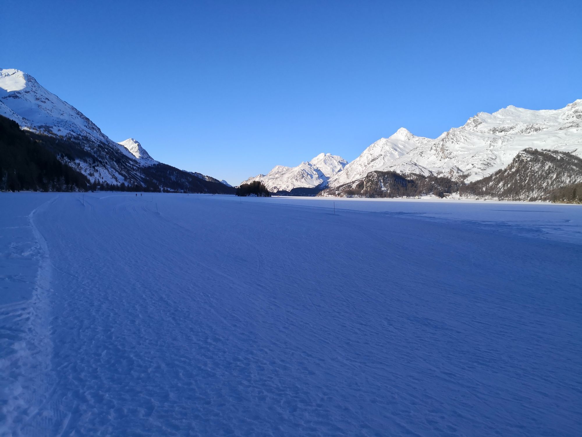
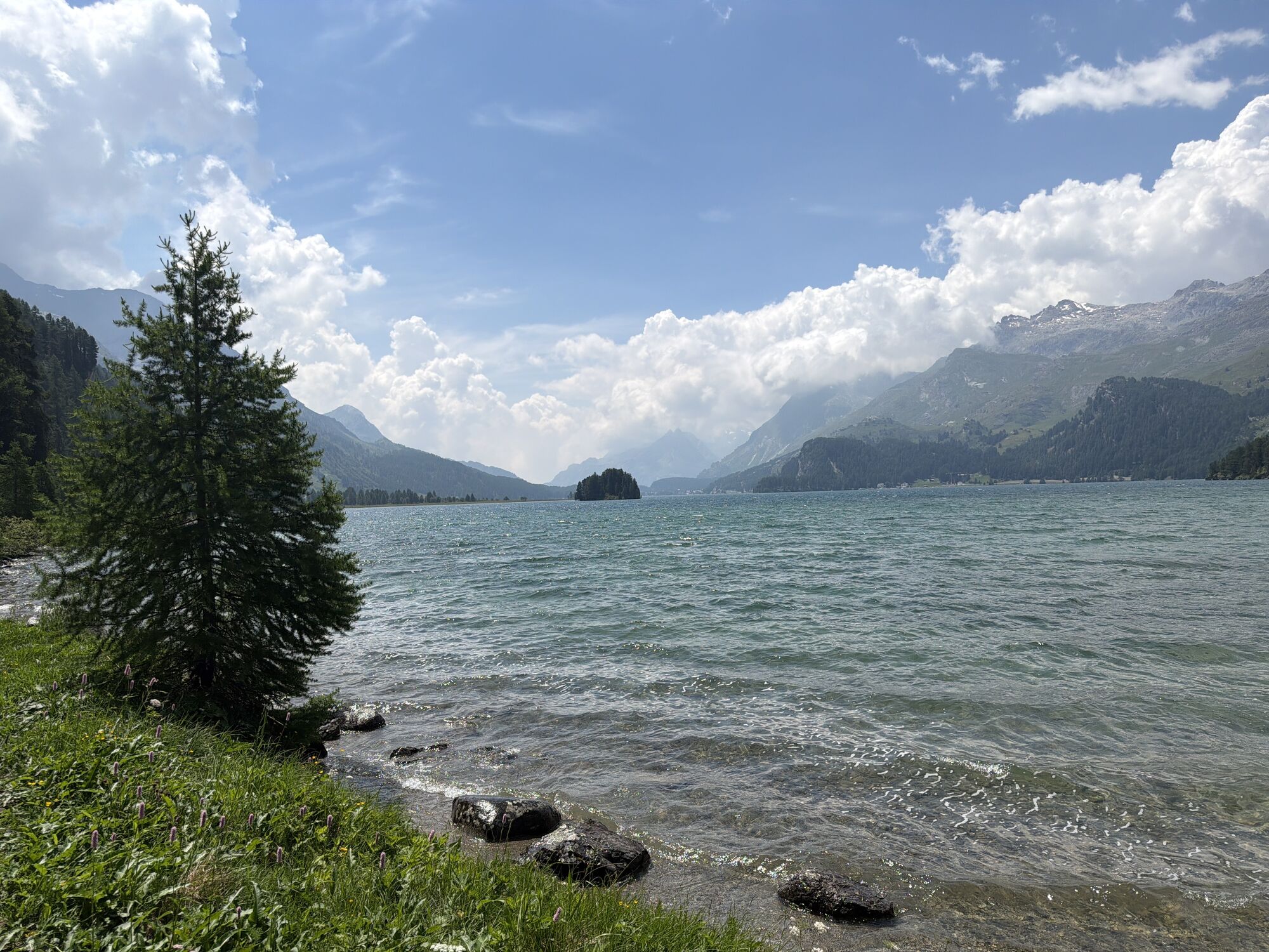


Idyllically nestled between Lake Sils and Lake Silvaplana lies the Engadine village of Sils/Segl in the Engadine. The circular route via Clavadatsch and Muotta da Güvè starts and ends in the village district...
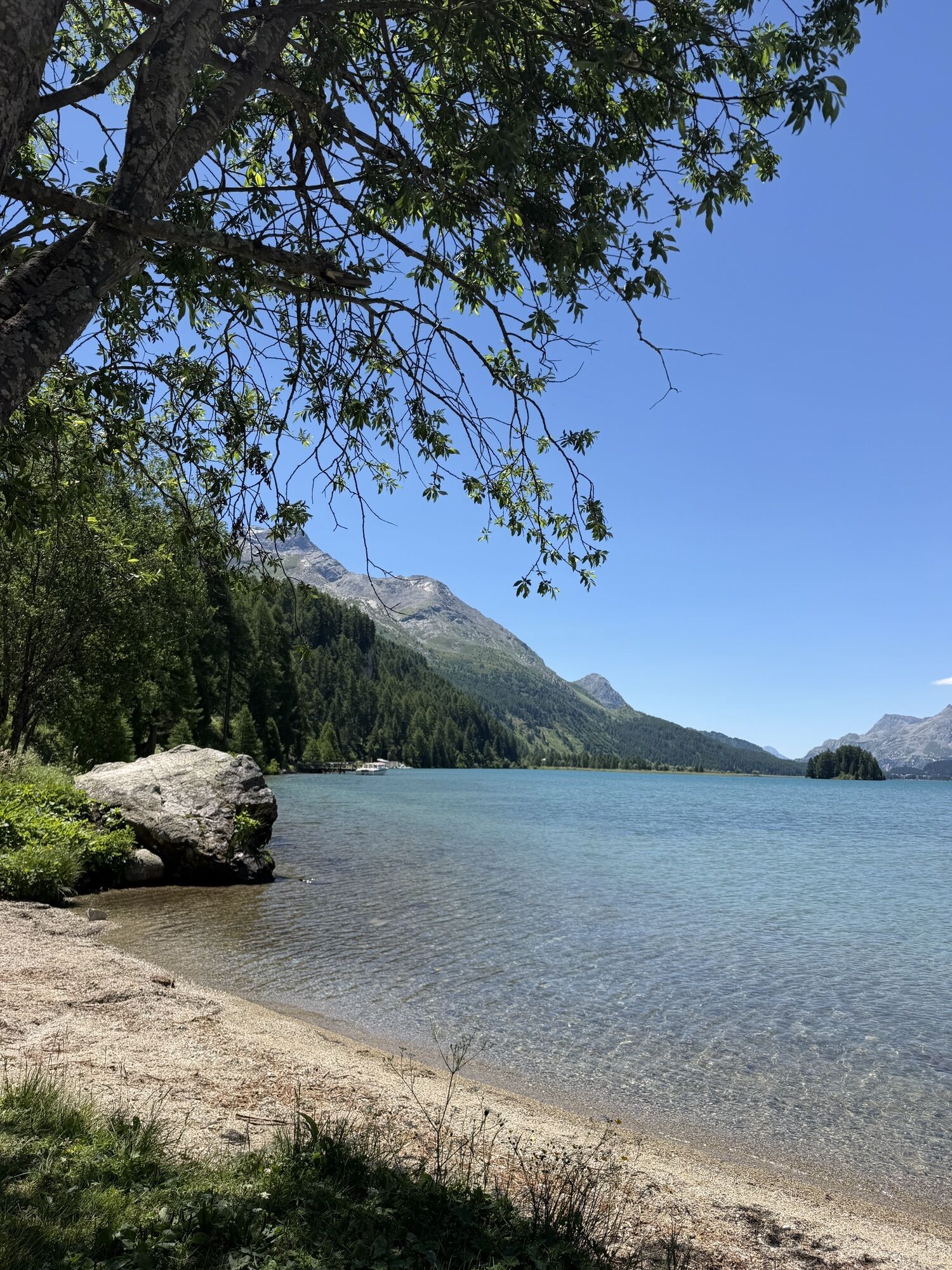
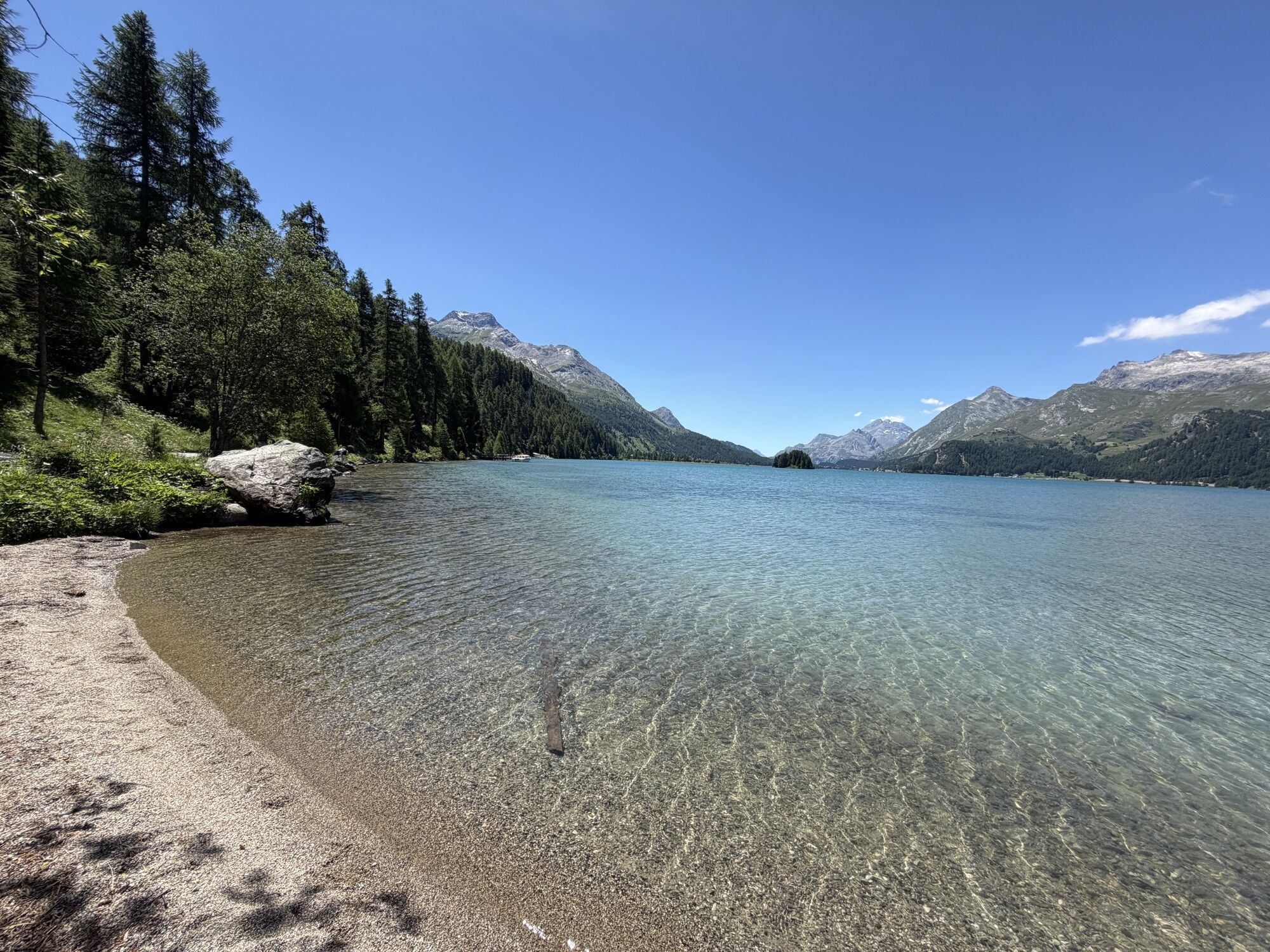
Idyllically nestled between Lake Sils and Lake Silvaplana lies the Engadine village of Sils/Segl in the Engadine. The circular route via Clavadatsch and Muotta da Güvè starts and ends in the village district of Sils Maria. The high plateau, framed by the rugged peaks of the Bernina group, once attracted poets and thinkers: Hermann Hesse found a second home in the noble Waldhaus, Friedrich Nietzsche spent several summers in the place. But Charlie Chaplin, Rod Stewart, and David Bowie have also been inspired by the unique landscape. In winter, it can be excellently explored on snowshoes. They can already be mounted at the barrier near Furnaria Grond/Alpenrose (1806 m).
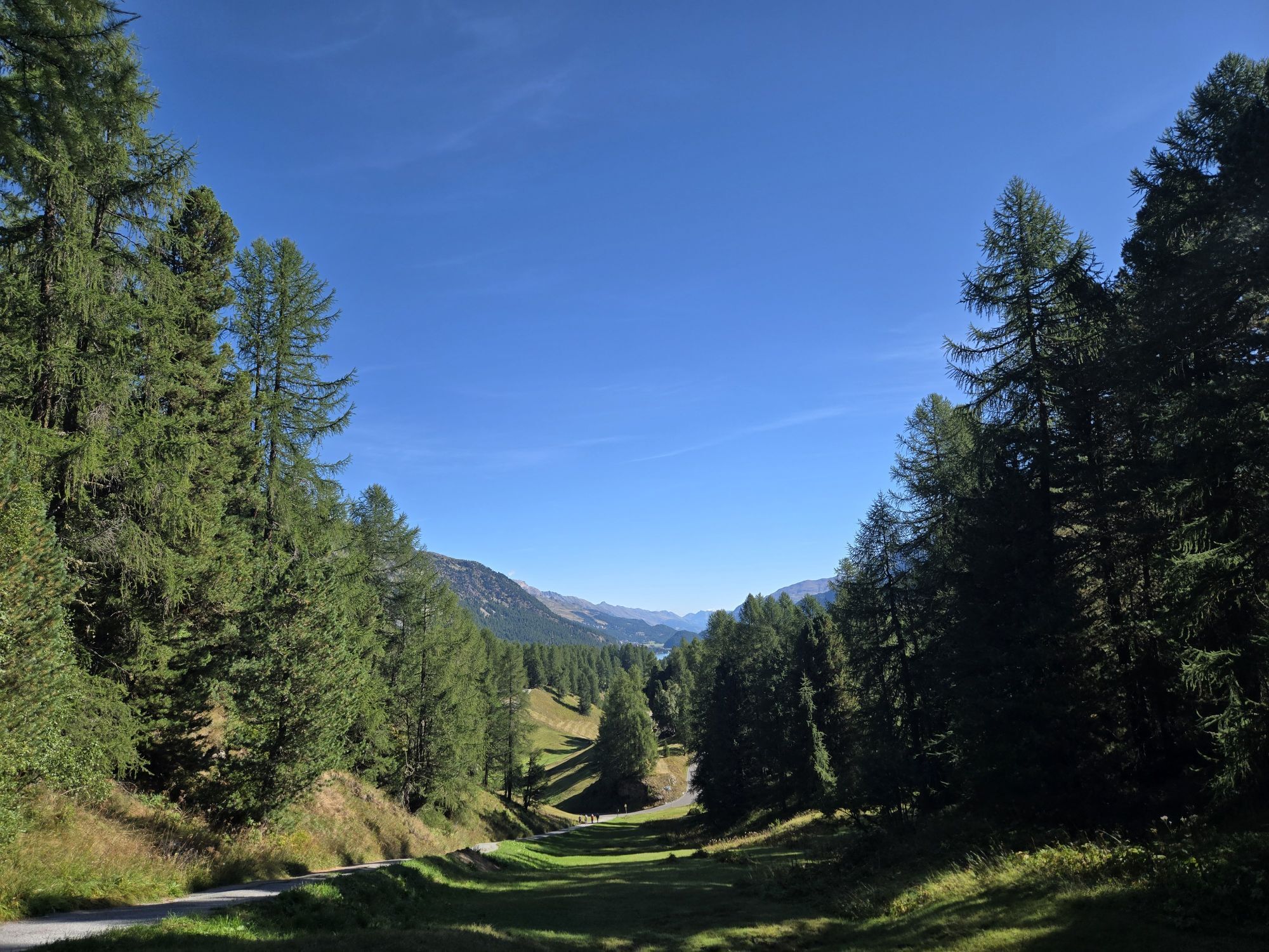
A short section still follows the winter hiking trail towards Lake Sils, below the legendary Waldhaus Hotel and past the toboggan run. At the boathouse Sils/Segl Maria Barchiröls, the route first goes steeply up into God Laret, Romansh for larch forest. Most of the time is spent in this forest. Exceptions are the clearing by the old stables of Clavadatsch and the section after crossing the cross-country skiing track and the winter hiking trail near Crap da la Turba. The highest point of the route is the "Muotta da Güvè" viewing platform. Be sure to take a break and enjoy the deep view of the lake. The return path follows a different route above "Vaüglia".
The moderate trail through the winter mountain forest to the 2036-meter-high Muotta da Güvè rewards with an impressive natural experience and fascinating views of Lake Sils, the majestic mountain world, into the wild Val Fedoz, the famous Val Fex, and the wintery Upper Engadine. The route is suitable for snowshoe hikers with good fitness.
Further information
Engadin Tourism AG
Via Maistra 1
CH-7500 St. Moritz
Phone: +41 81 830 00 01
E-mail: allegra@engadin.ch
Internet: www.engadin.ch
Condition of the snowshoe trails: www.engadin.ch/de/pisten-loipen-wege/winterwanderwege/
More information: www.sils.ch/winterwandern

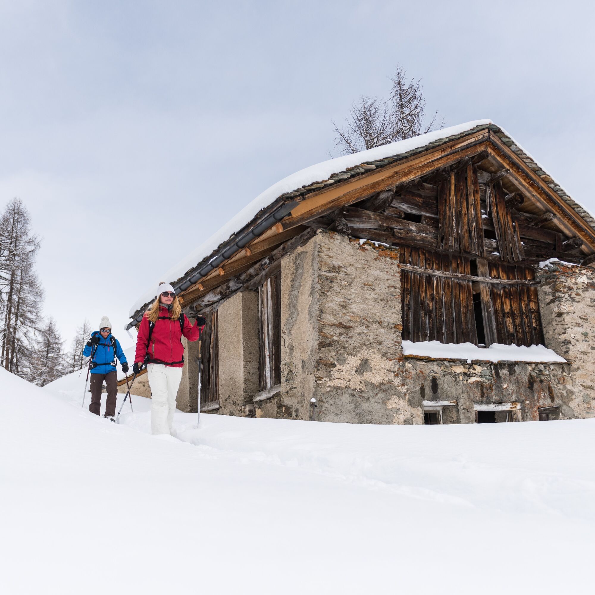
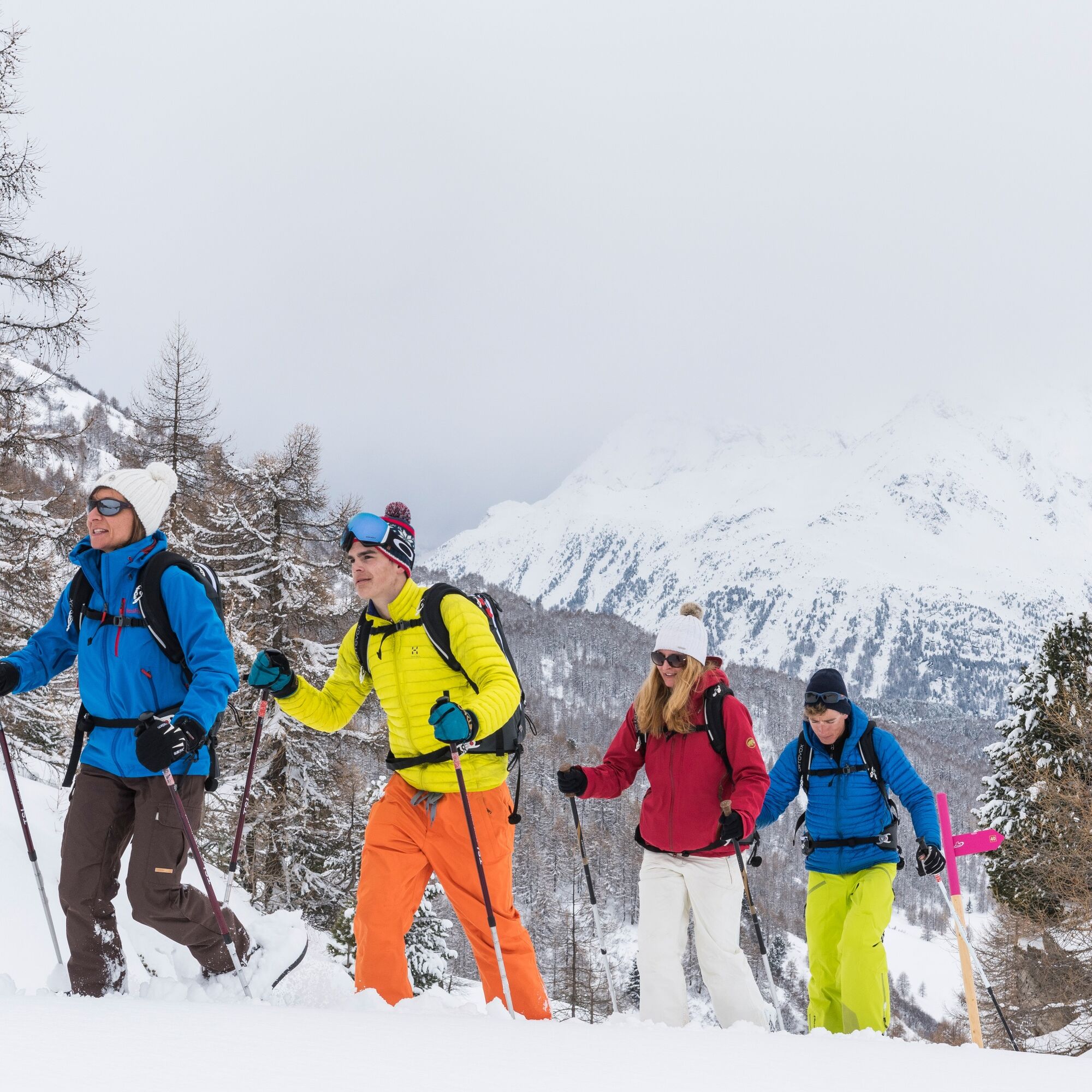
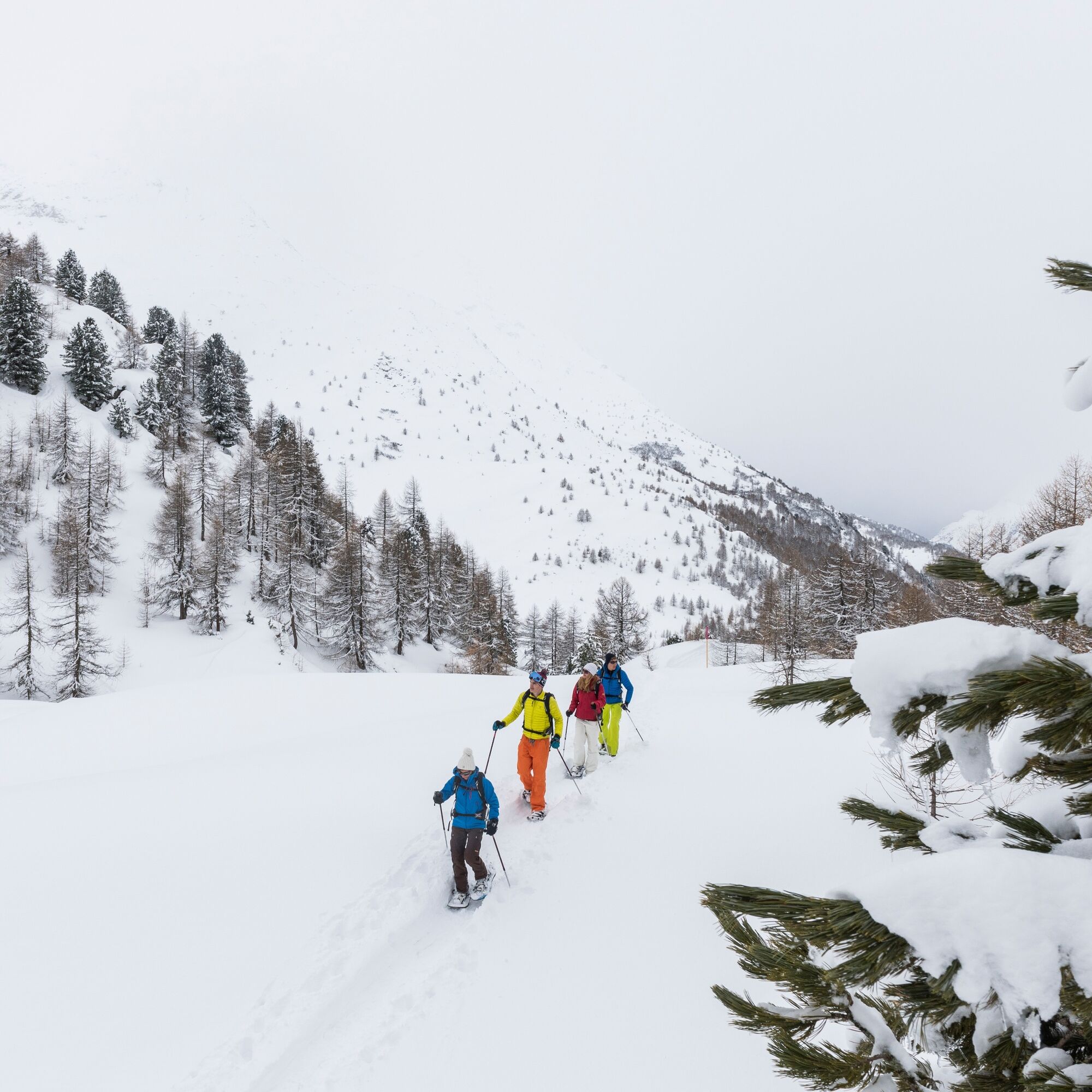
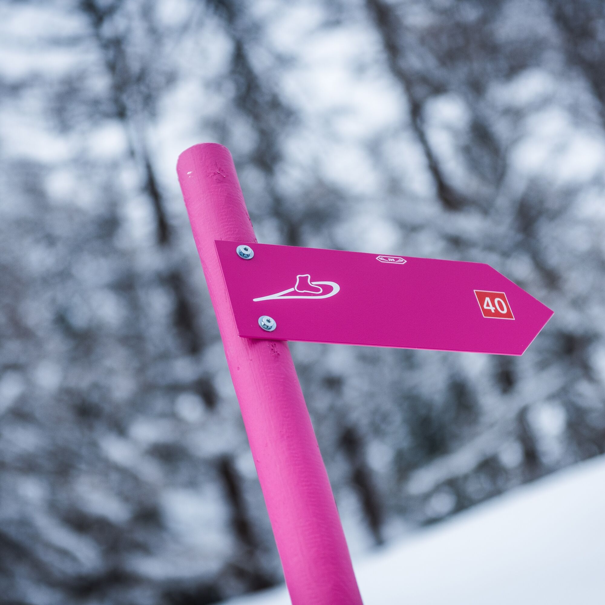

The hike is always at your own risk. For the sake of the wildlife, please do not leave the official routes.
Take the Engadin Bus to the Sils Posta stop.
Parking spaces are available in the Sils parking garage.
More information about snowshoeing in Sils at www.sils.ch/winterwandern
The highest point of the route is the viewpoint "Muotta da Güvè". Be sure to take a break and enjoy the view of the lakes.

Webové kamery z prohlídky
Silvaplana - Restaurant Mulets
Silvaplana - Mittelstation Murtèl
Silvaplana - Mittelstation Murtèl
Silvaplana - Mittelstation Murtèl
Silvaplana - Mittelstation Murtèl
Silvaplana - Mittelstation Murtèl
Maloja Palace
Aela
Silvana - Alpetta Hütta
Alpetta Hütta, Corvatsch
Corvatsch - Hossa Bar
Silvaplana - Hossa Bar

Oblíbené prohlídky v okolí
- 5.0
Morteratsch station - Boval Hut
středníTuristika 10.5 km - 4.9
Maloja - Motta Salacina - Lägh da Cavloc - Maloja
středníTuristika 10.3 km - 4.5
Pontresina - Val Roseg - Pontresina
světloTuristika 13.8 km - 4.8
SAC Tschierva
světloTuristika 24.7 km - 4.8
Around Lake St. Moritz
světloTuristika 4.32 km - 4.7
Morteratsch Glacier route
světloTematická stezka 2.88 km - 4.3
721 Senda Ils Lejins Sils/Furtschellas
středníTuristika 6.02 km - 4.8
Val Roseg - Tschierva Hut
středníTuristika 5.12 km - 4.0
Mittelstation Murtèl – Fuorcla Surlej – Val Roseg – Pontresina
středníTuristika 23.5 km - 4.5
Sils - Lej da la Tscheppa - Sils
středníTuristika 11.4 km

Pěší turistika a stopování


Nenechte si ujít nabídky a inspiraci pro vaši příští dovolenou
Vaše e-mailová adresa byl přidán do poštovního seznamu.





