


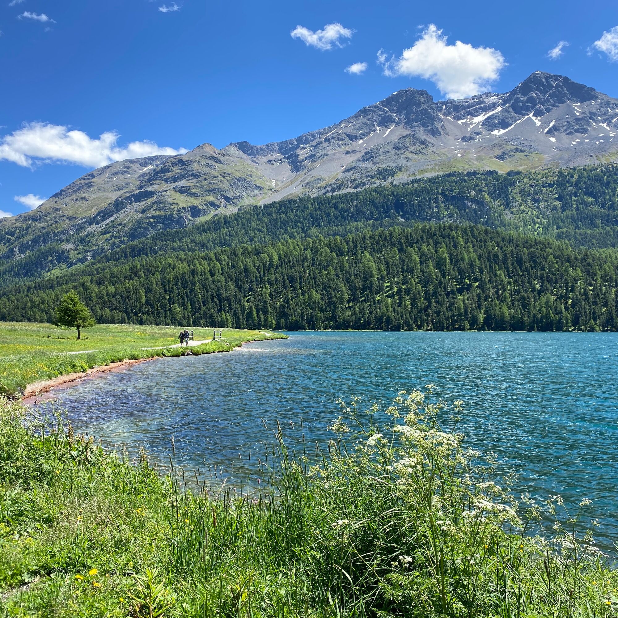
Upper Engadine lakes with Val Fex
Úroveň obtížnosti: 2
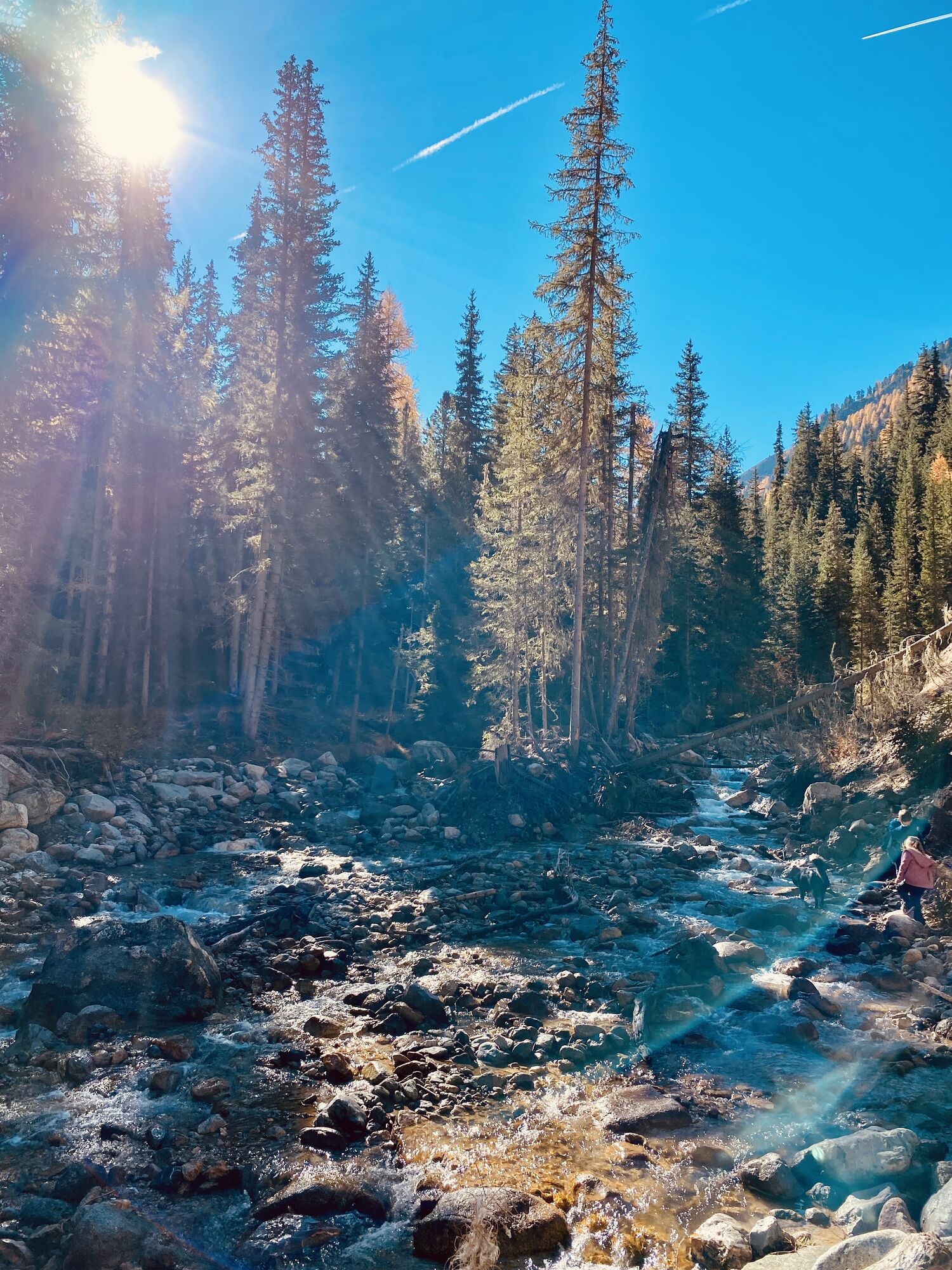
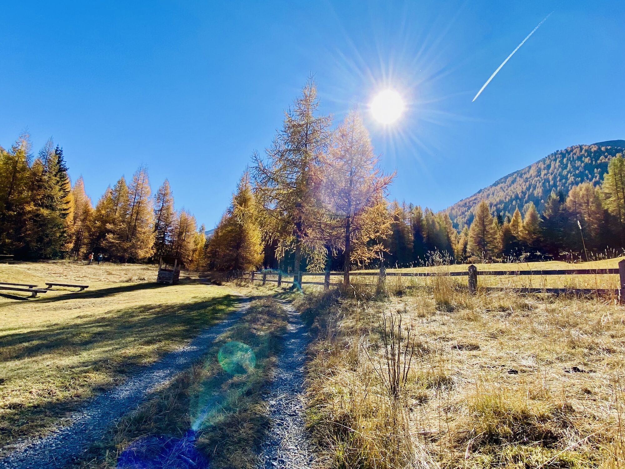
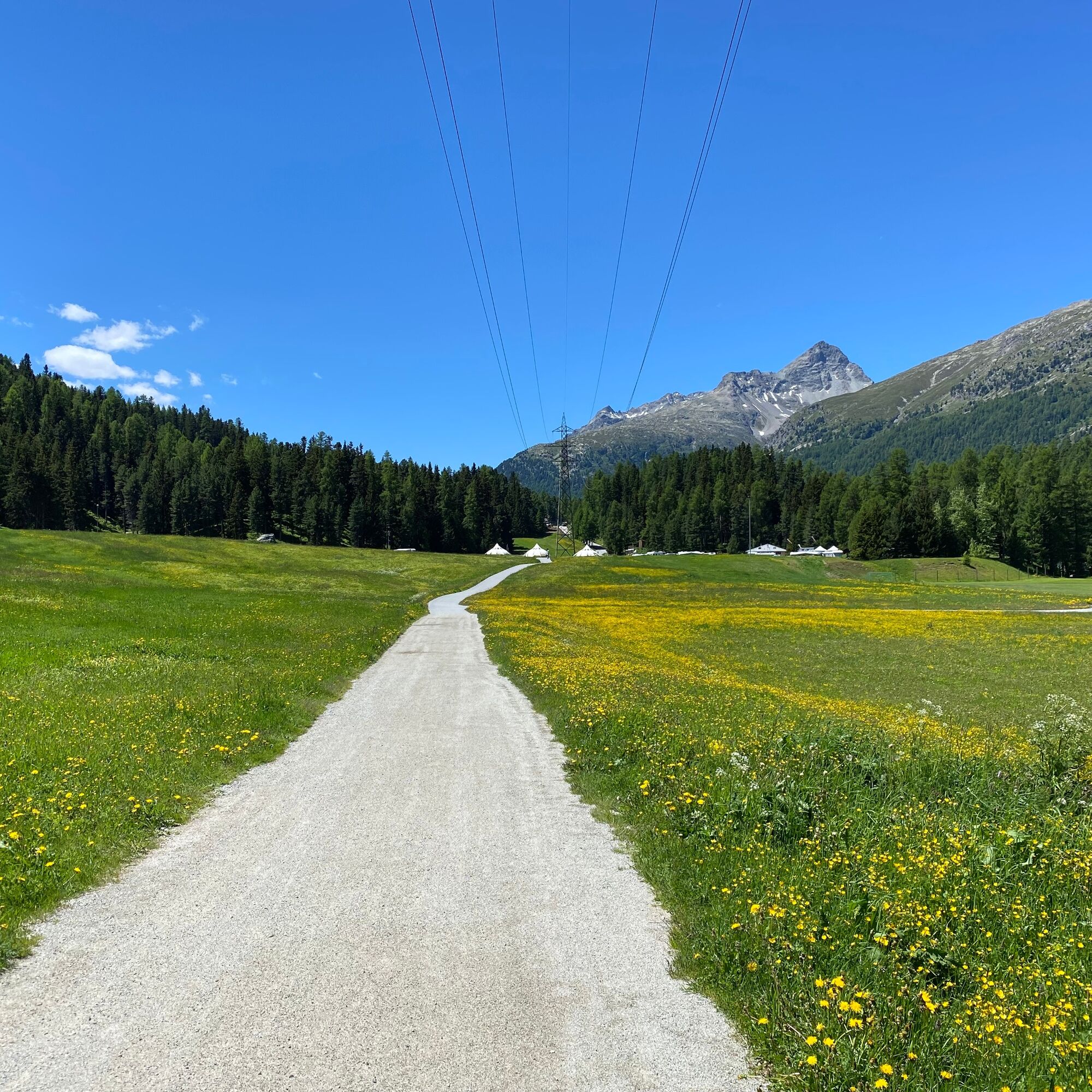
Fotografie našich uživatelů
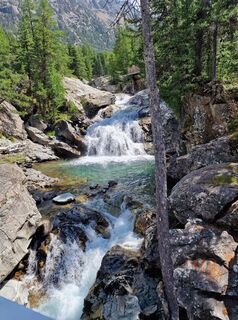
 © Terlizzi LinoVytvořeno dne 15.07.2023
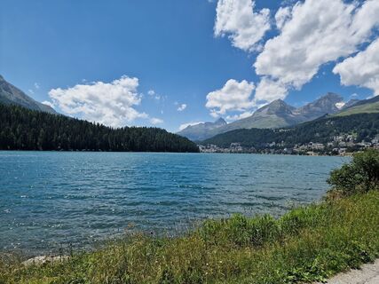 © Terlizzi LinoVytvořeno dne 15.07.2023
 © Terlizzi LinoVytvořeno dne 15.07.2023
 © Terlizzi LinoVytvořeno dne 15.07.2023
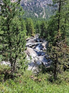 © Terlizzi LinoVytvořeno dne 15.07.2023
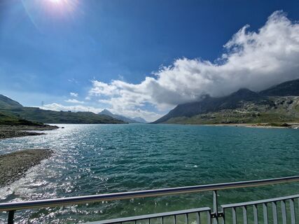 © Terlizzi LinoVytvořeno dne 15.07.2023
 © Terlizzi LinoVytvořeno dne 15.07.2023
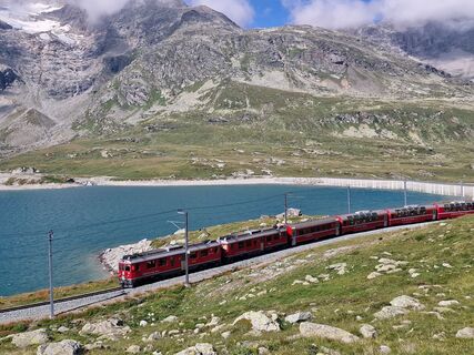 © Terlizzi LinoVytvořeno dne 15.07.2023
 © Terlizzi LinoVytvořeno dne 15.07.2023
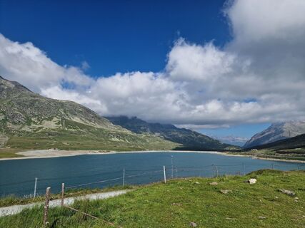 © Terlizzi LinoVytvořeno dne 15.07.2023
 © Tobi ScheidlerVytvořeno dne 30.01.2026
 © Tobi ScheidlerVytvořeno dne 30.01.2026
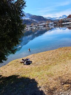
 © Elisabeth SchmutzVytvořeno dne 06.11.2025
 © Elisabeth SchmutzVytvořeno dne 06.11.2025
 © Elisabeth SchmutzVytvořeno dne 06.11.2025
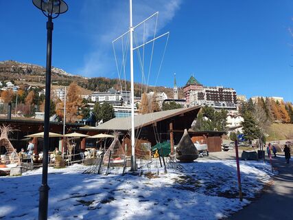 © Elisabeth SchmutzVytvořeno dne 06.11.2025
 © Thomi WVytvořeno dne 03.11.2025
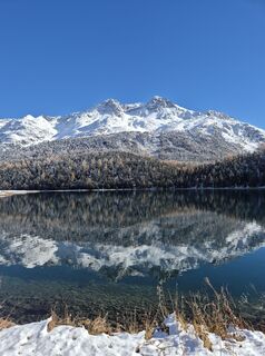 © Thomi WVytvořeno dne 03.11.2025
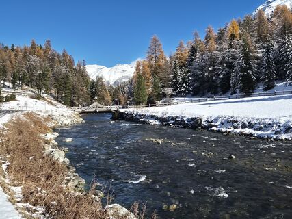 © Thomi WVytvořeno dne 03.11.2025
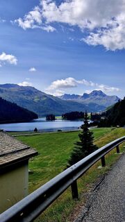 © El Bandito76Vytvořeno dne 23.08.2025
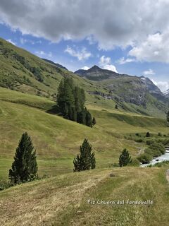
 © Francesca SemeraroVytvořeno dne 15.08.2025
 © Francesca SemeraroVytvořeno dne 15.08.2025
 © Manfred Fuchs 3Vytvořeno dne 30.05.2025
 © Manfred Fuchs 3Vytvořeno dne 30.05.2025
 © Manfred Fuchs 3Vytvořeno dne 30.05.2025
 © Manfred Fuchs 3Vytvořeno dne 30.05.2025
 © Manfred Fuchs 3Vytvořeno dne 30.05.2025
 © Manfred Fuchs 3Vytvořeno dne 30.05.2025
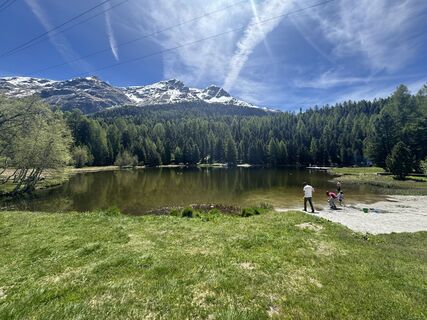 © Manfred Fuchs 3Vytvořeno dne 30.05.2025
 © Manfred Fuchs 3Vytvořeno dne 30.05.2025
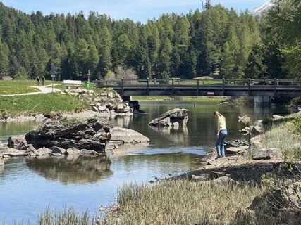 © Manfred Fuchs 3Vytvořeno dne 30.05.2025
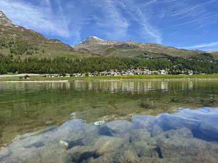 © Manfred Fuchs 3Vytvořeno dne 30.05.2025
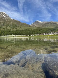 © Manfred Fuchs 3Vytvořeno dne 30.05.2025
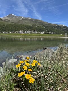 © Manfred Fuchs 3Vytvořeno dne 30.05.2025
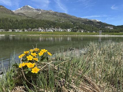 © Manfred Fuchs 3Vytvořeno dne 30.05.2025
 © Bergfex UserVytvořeno dne 05.04.2025
 © Bergfex UserVytvořeno dne 05.04.2025
 © Bergfex UserVytvořeno dne 05.04.2025
 © Bergfex UserVytvořeno dne 05.04.2025
 © Bergfex UserVytvořeno dne 05.04.2025
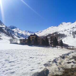 © Bergfex UserVytvořeno dne 05.04.2025
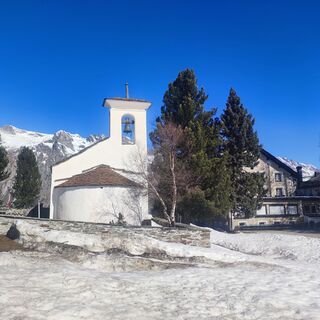 © Bergfex UserVytvořeno dne 05.04.2025
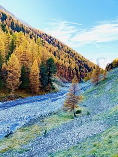
 © Mel ProVytvořeno dne 16.10.2022
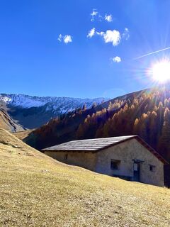 © Mel ProVytvořeno dne 16.10.2022
 © Mel ProVytvořeno dne 16.10.2022
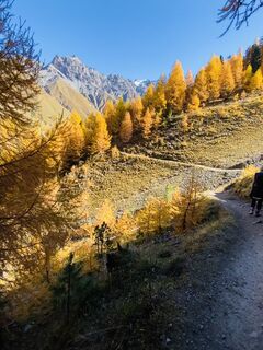 © Mel ProVytvořeno dne 16.10.2022
 © Mel ProVytvořeno dne 16.10.2022
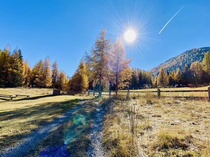 © Mel ProVytvořeno dne 16.10.2022


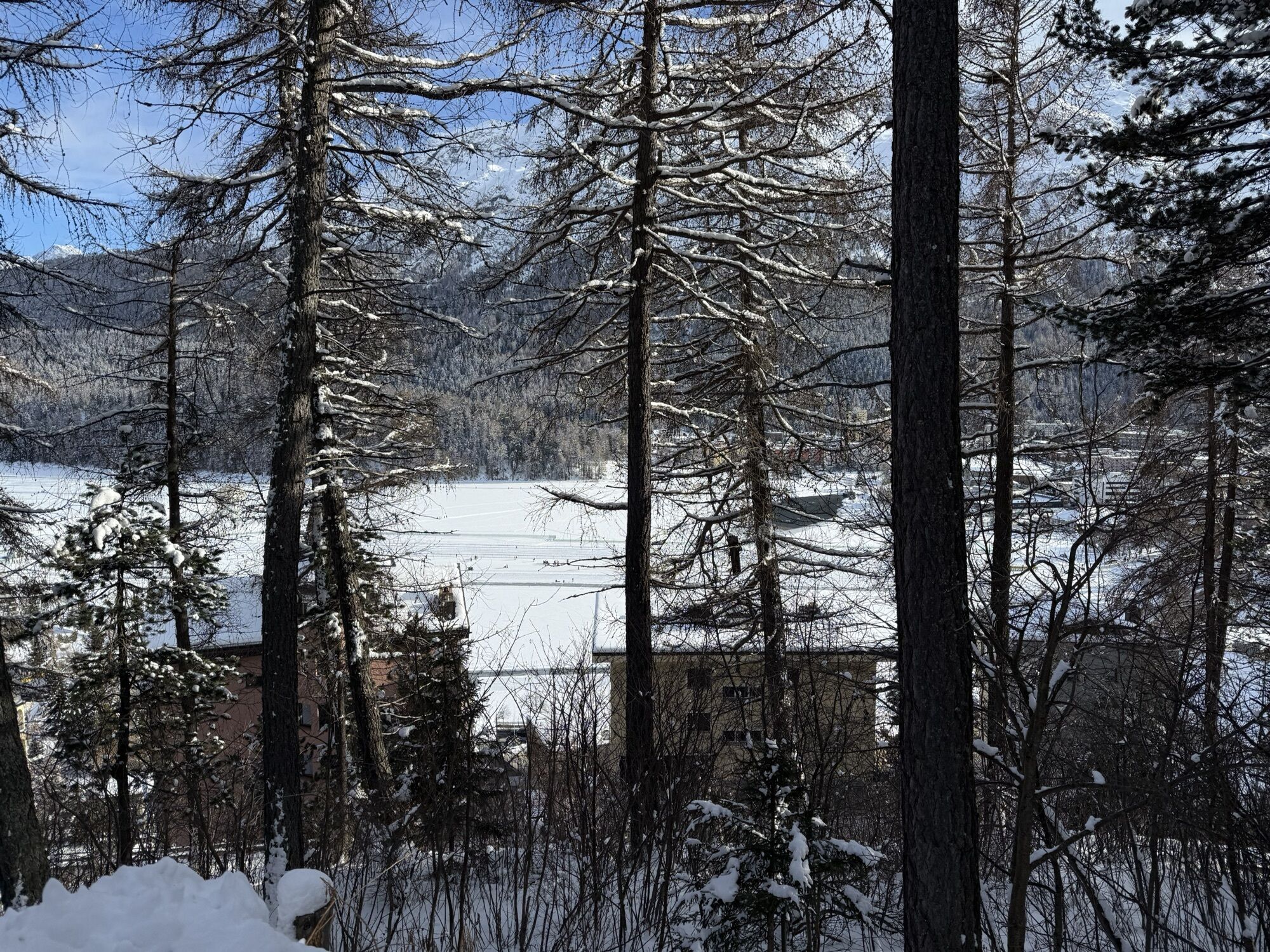
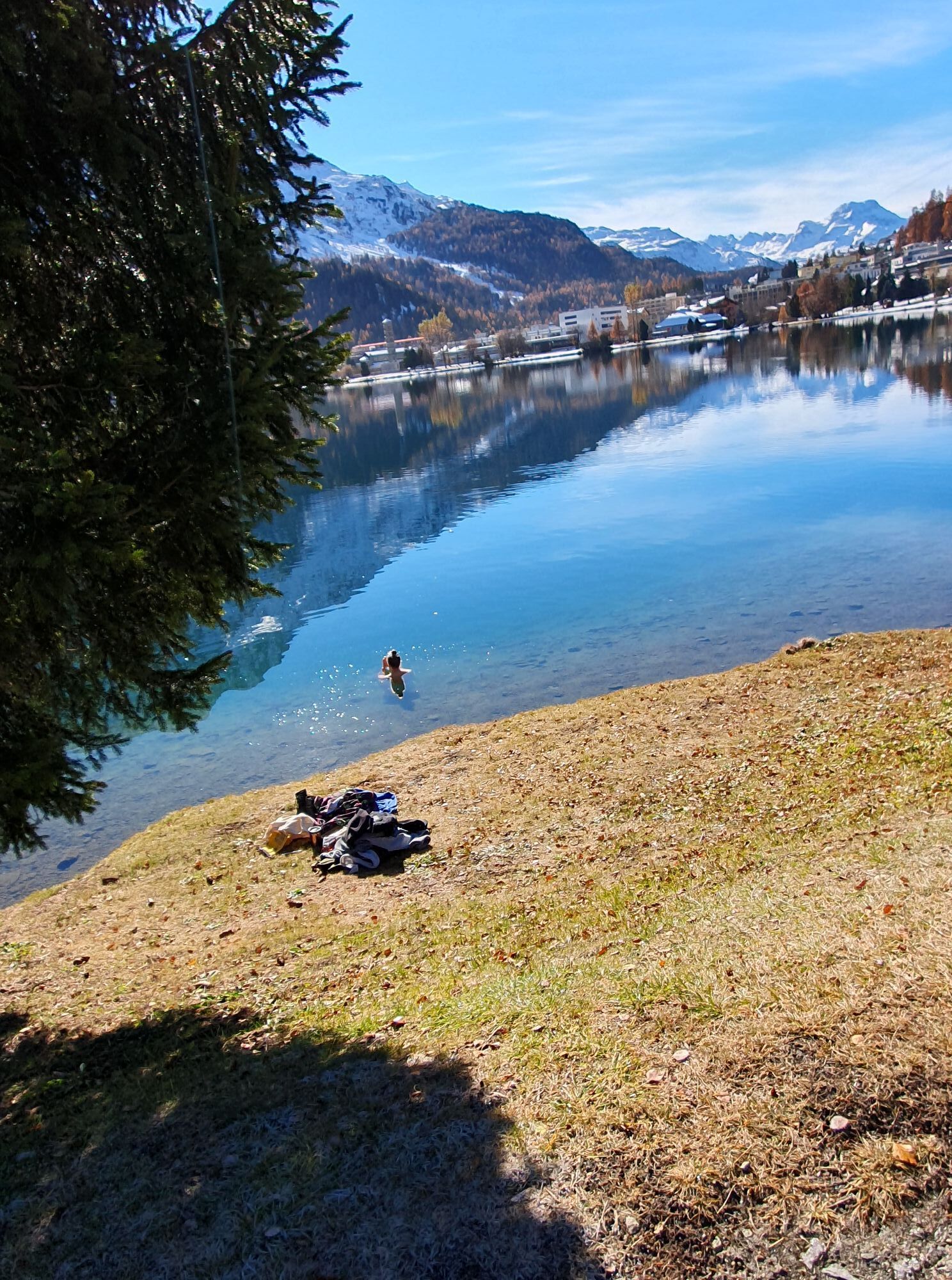
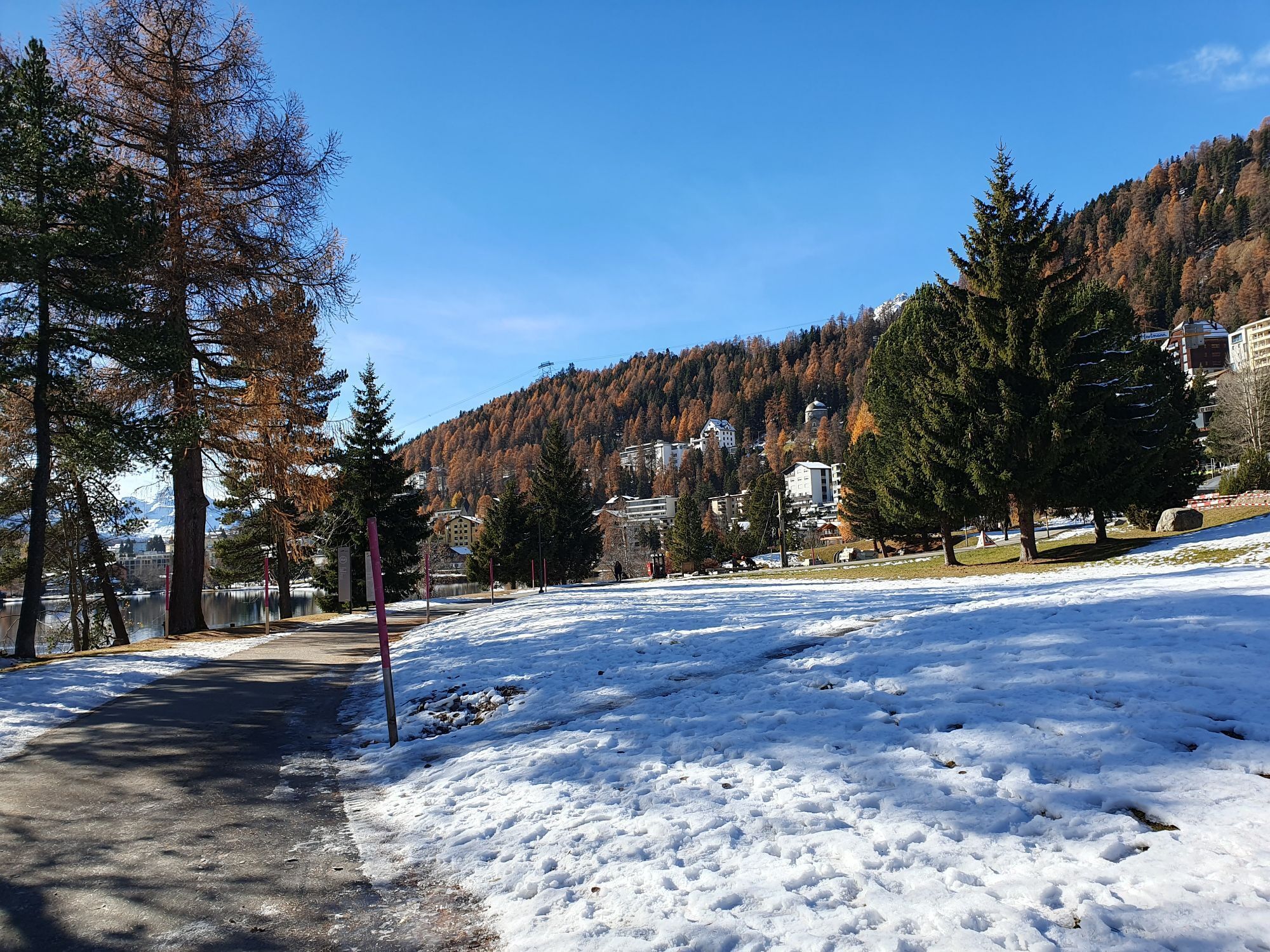
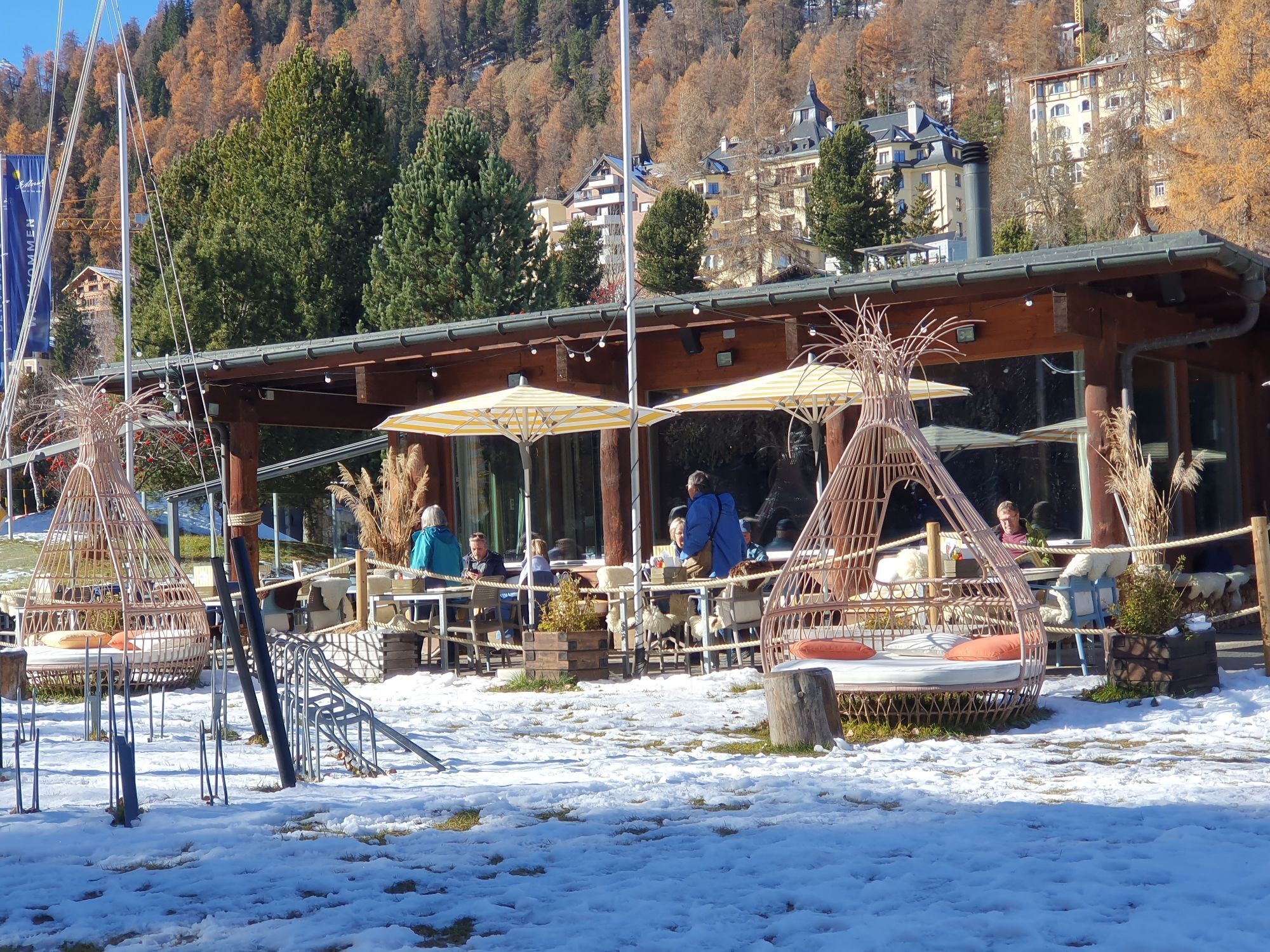

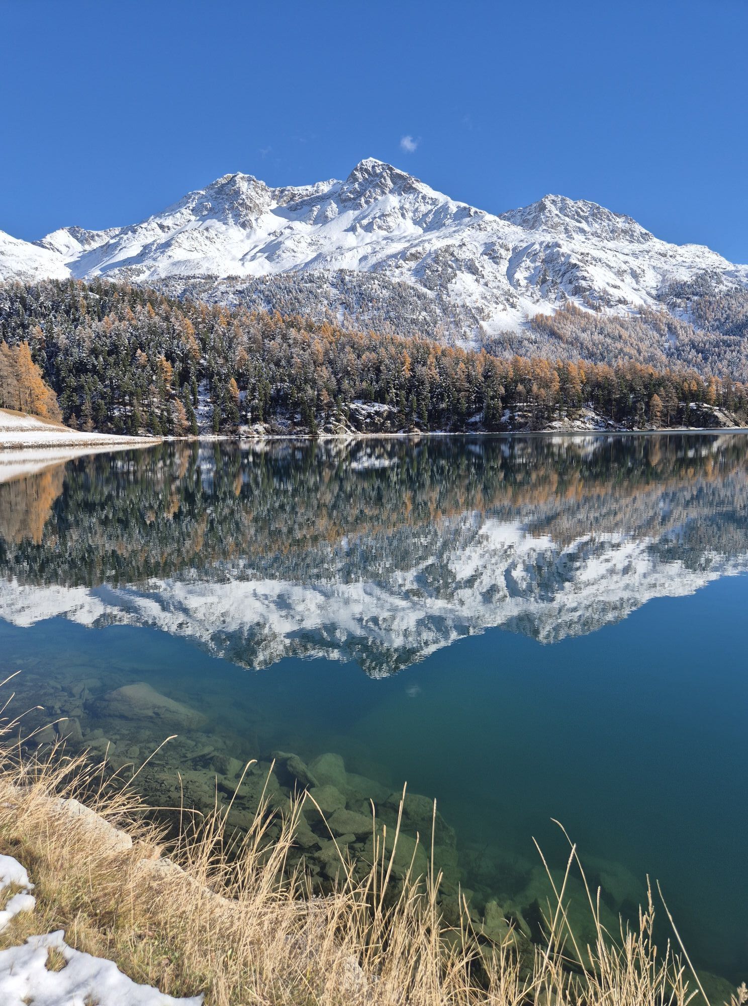
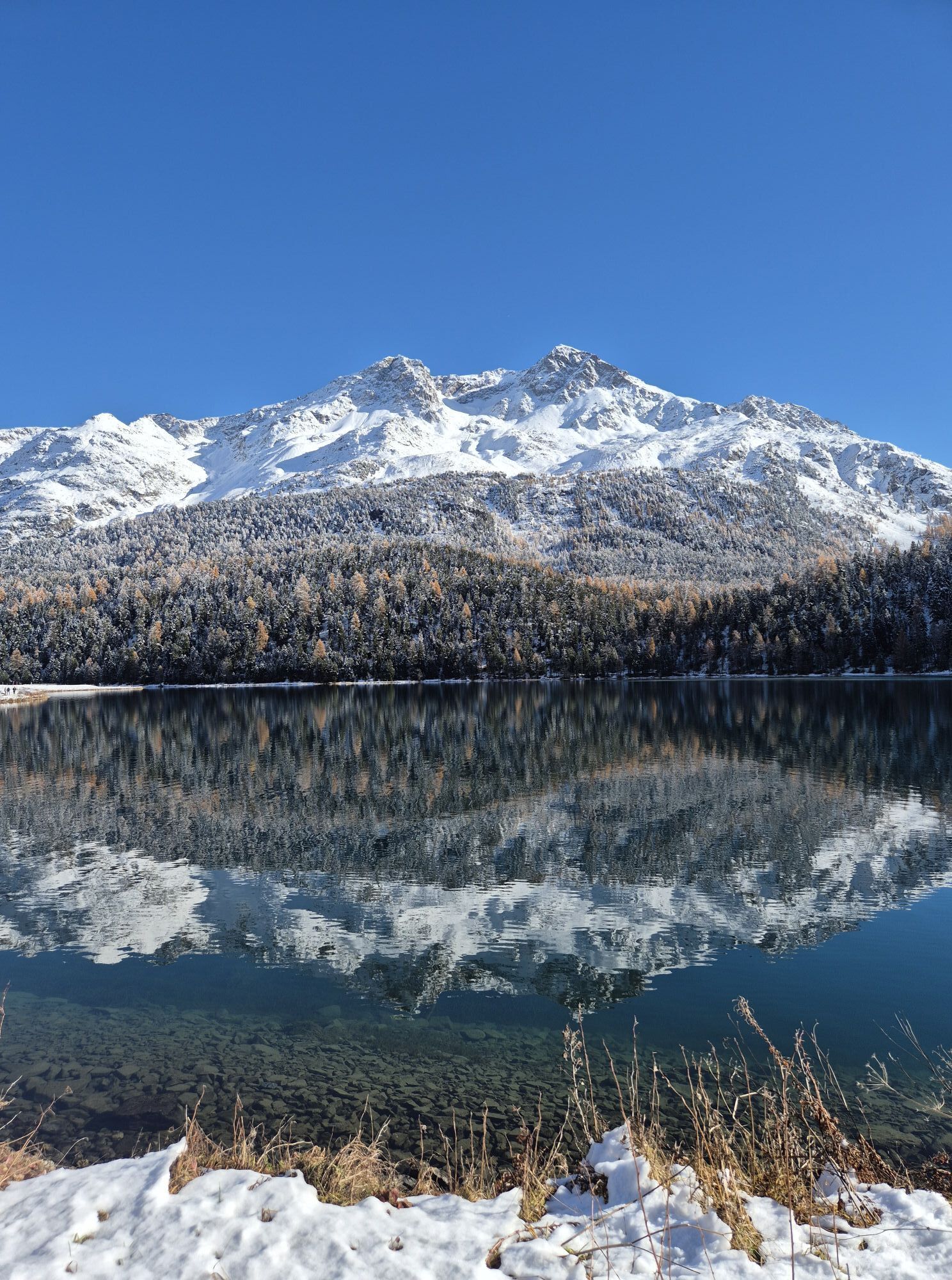


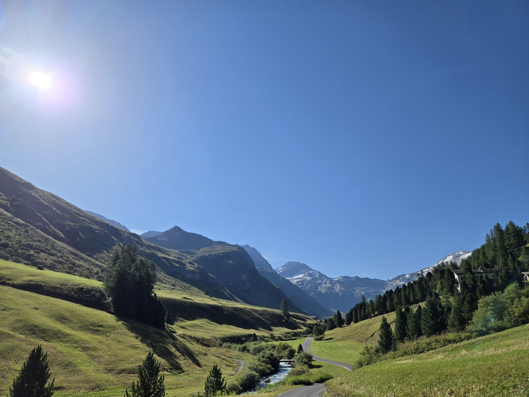
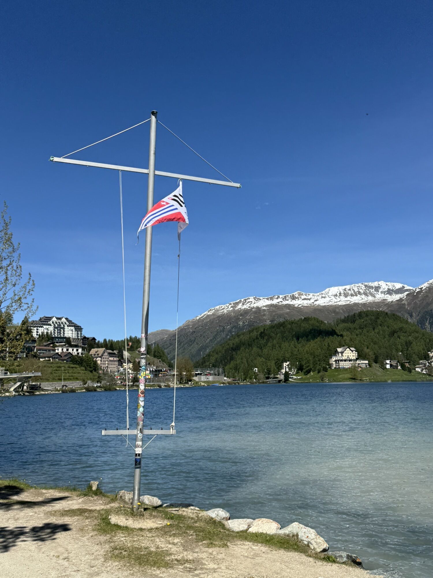

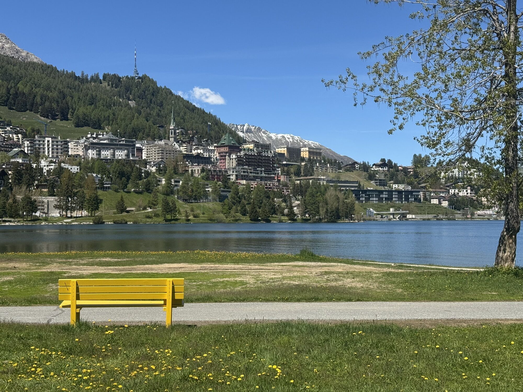


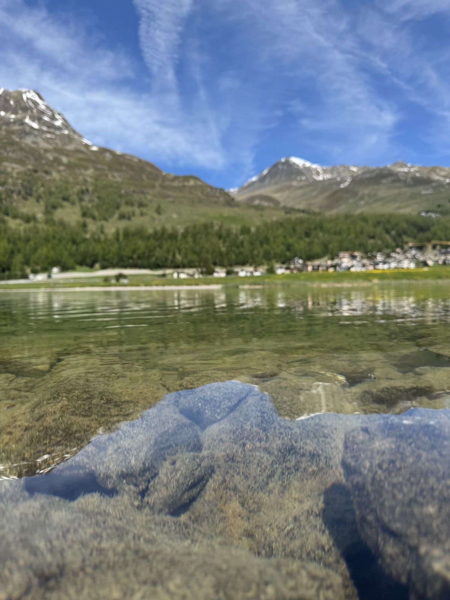


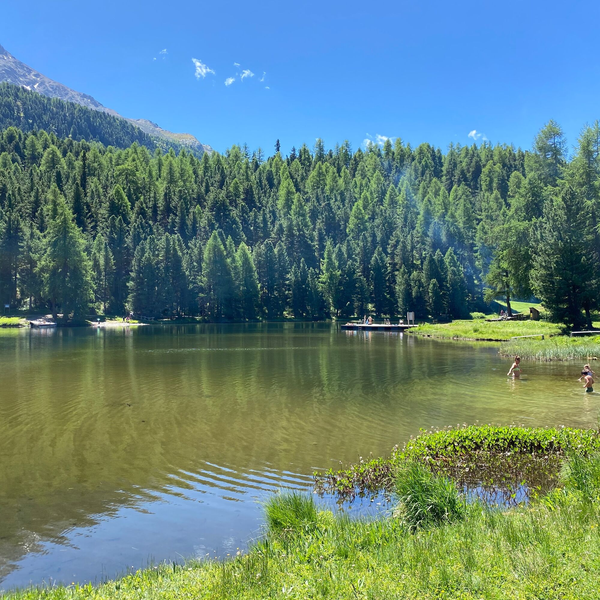
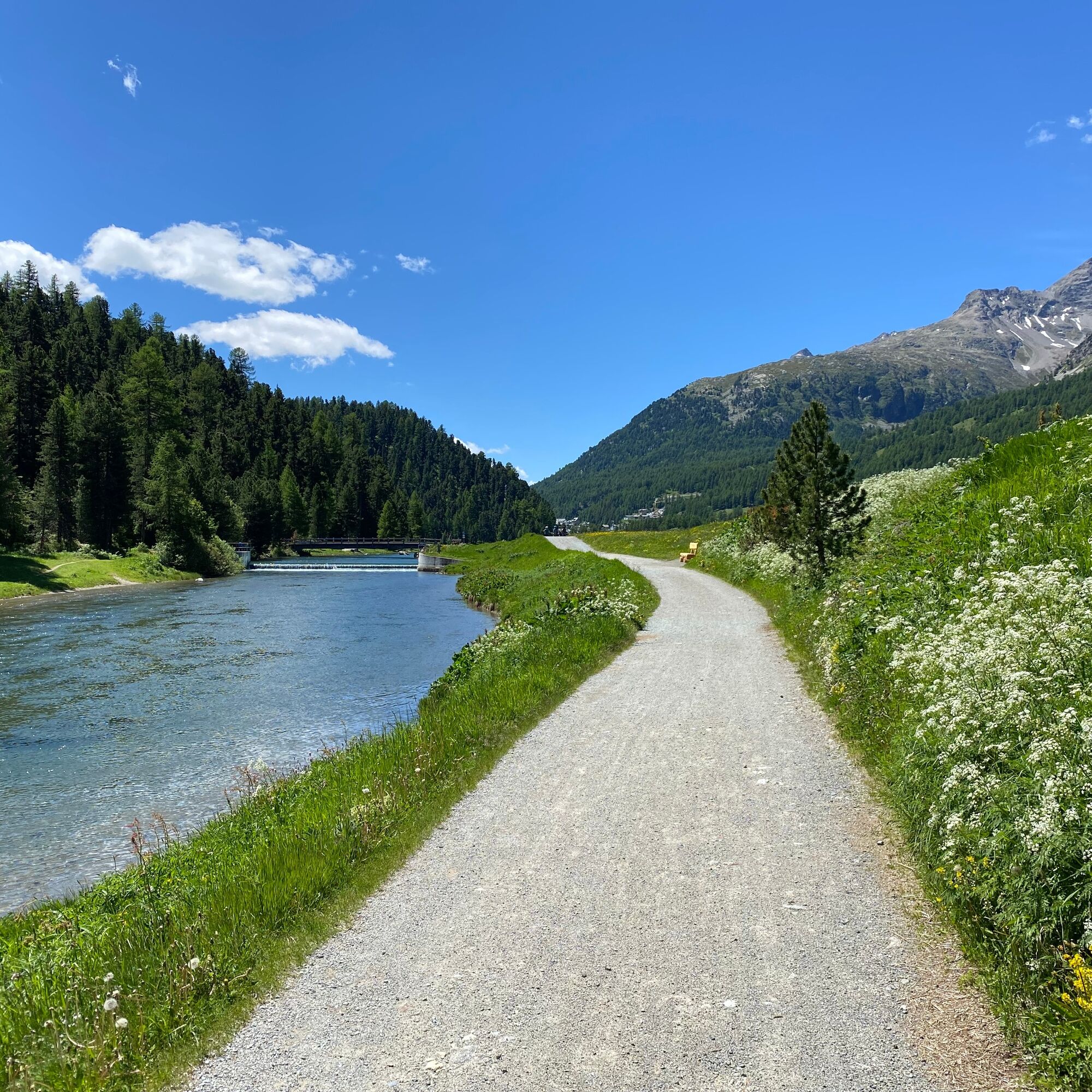
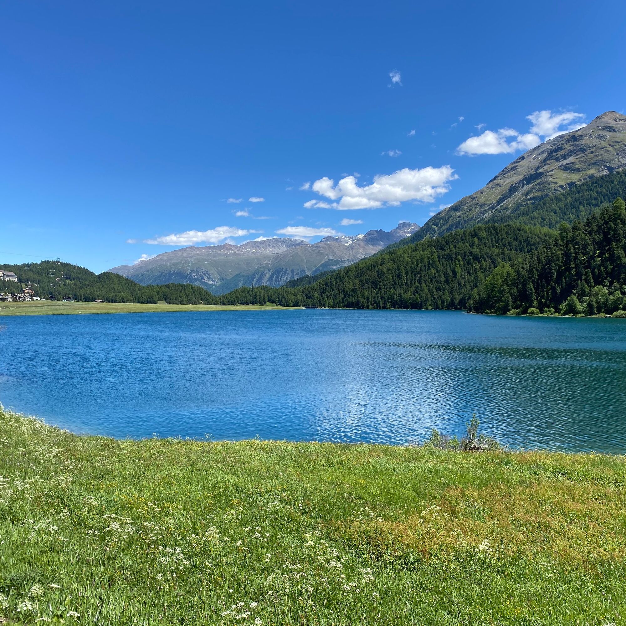
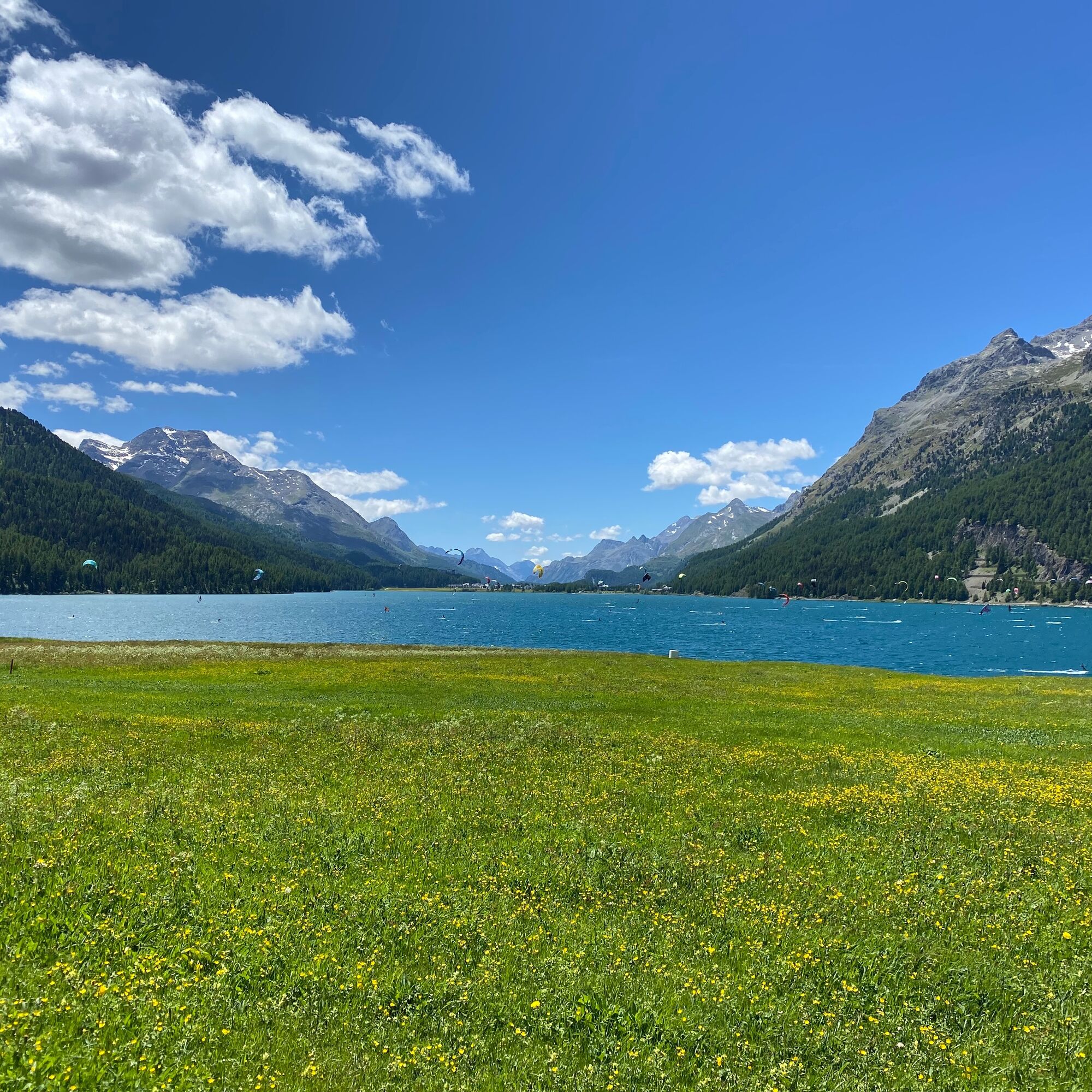
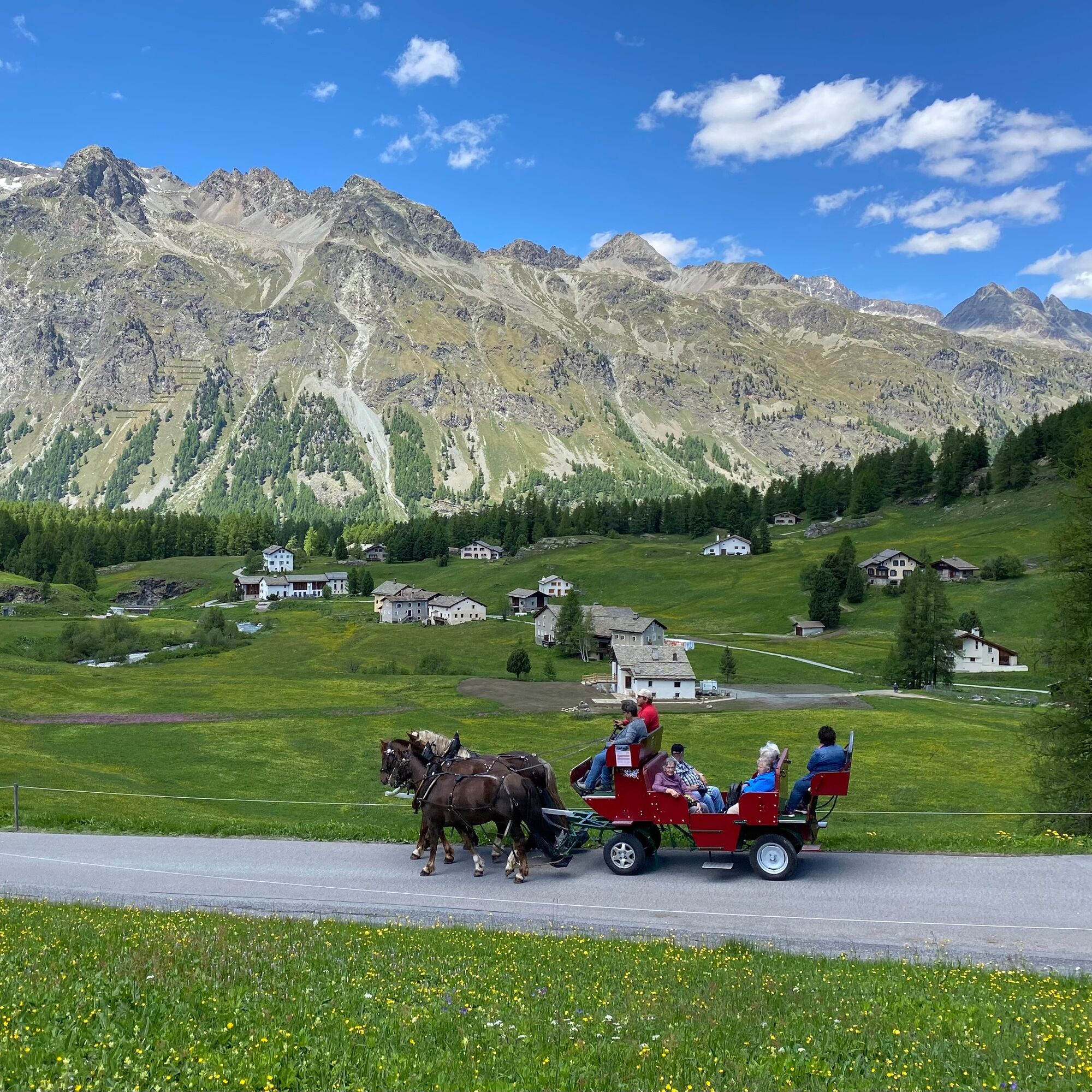
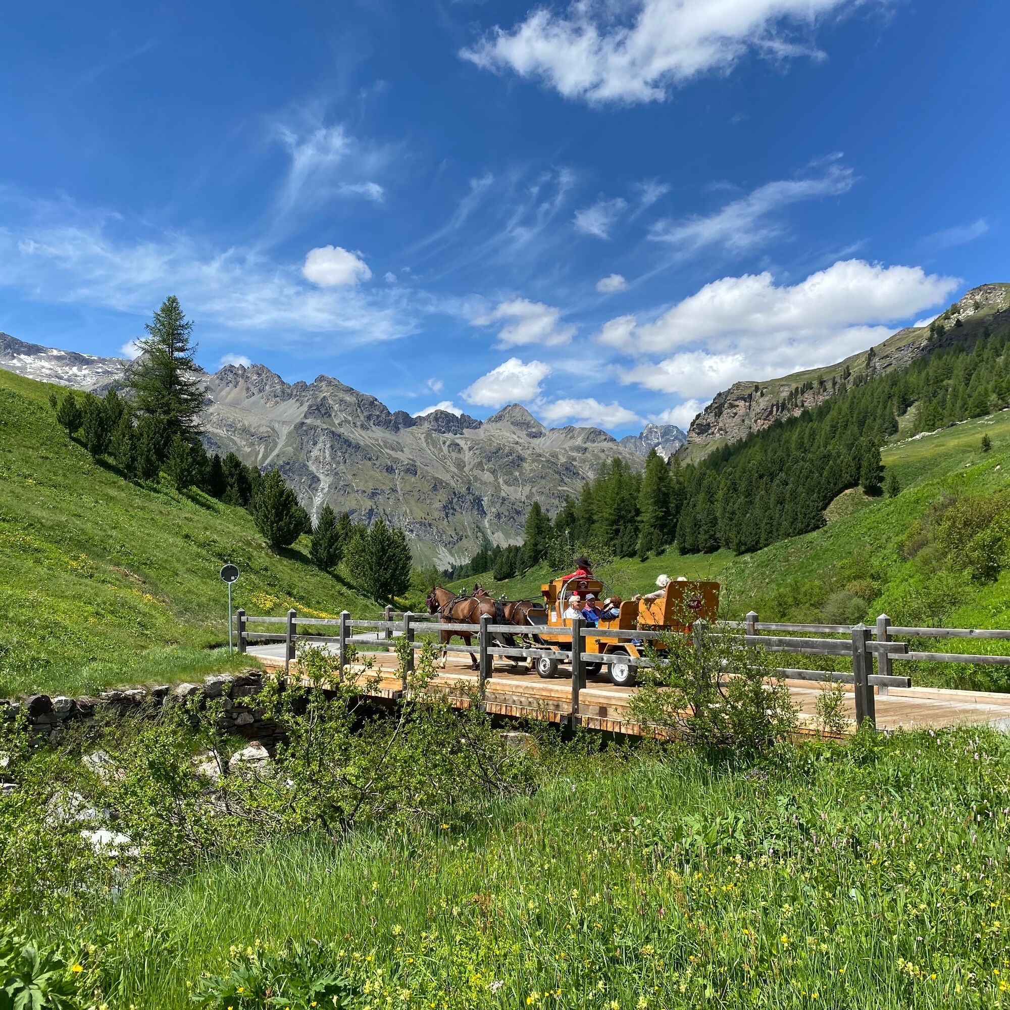
The route starts at the St. Moritz train station, where you first cycle along Lake St. Moritz to the Catholic church. Through St. Moritz Bad, the path goes behind the Hotel Kempinski to the Olympic ski...
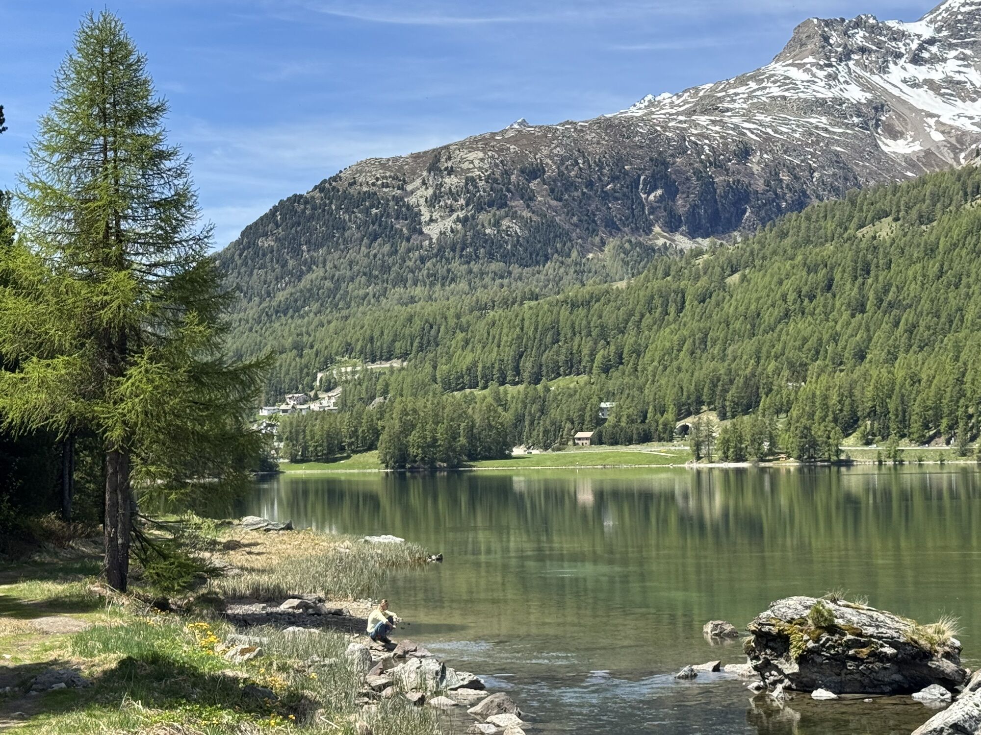
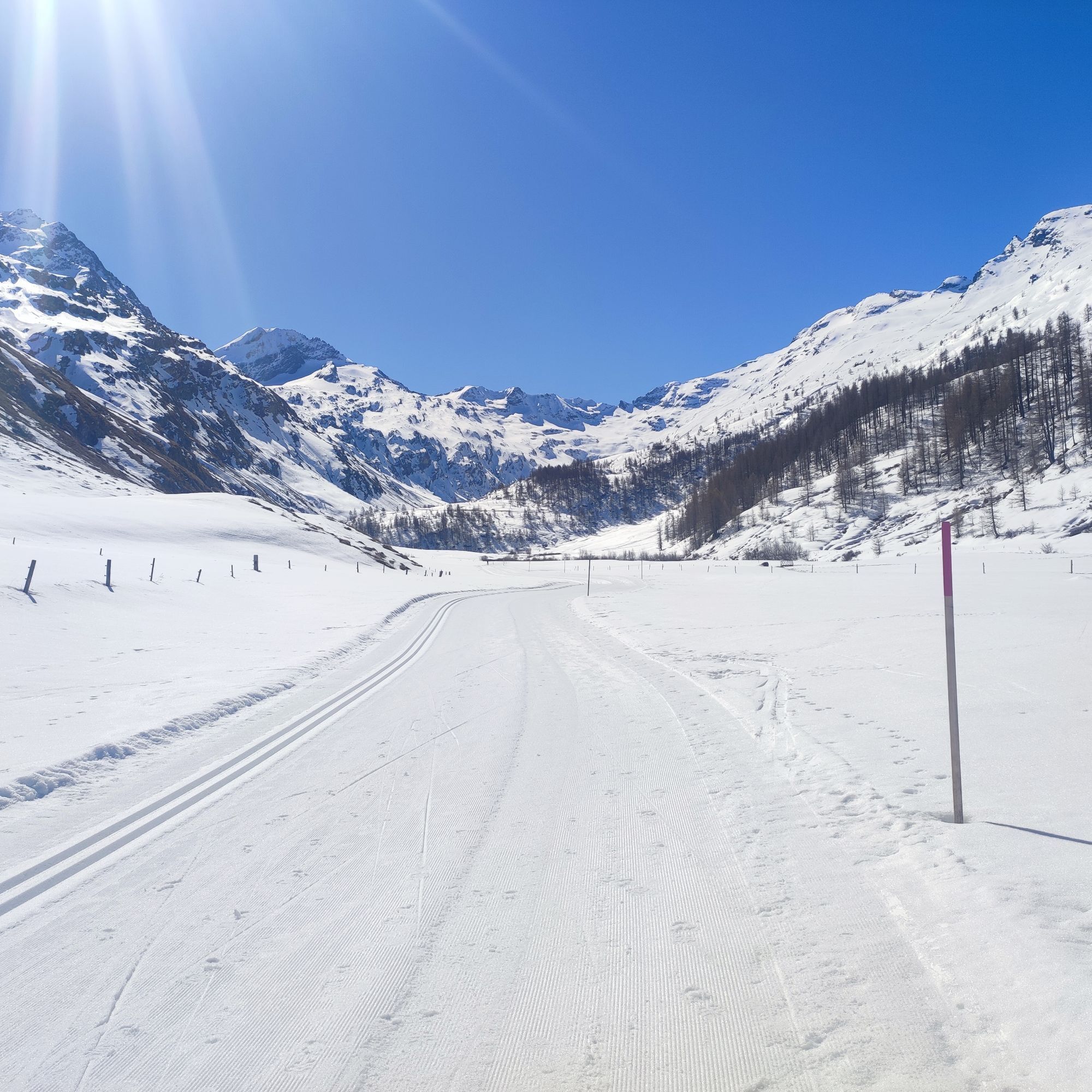
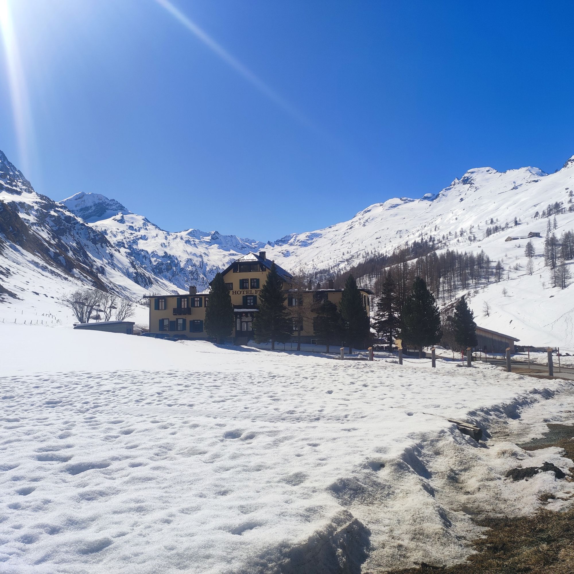
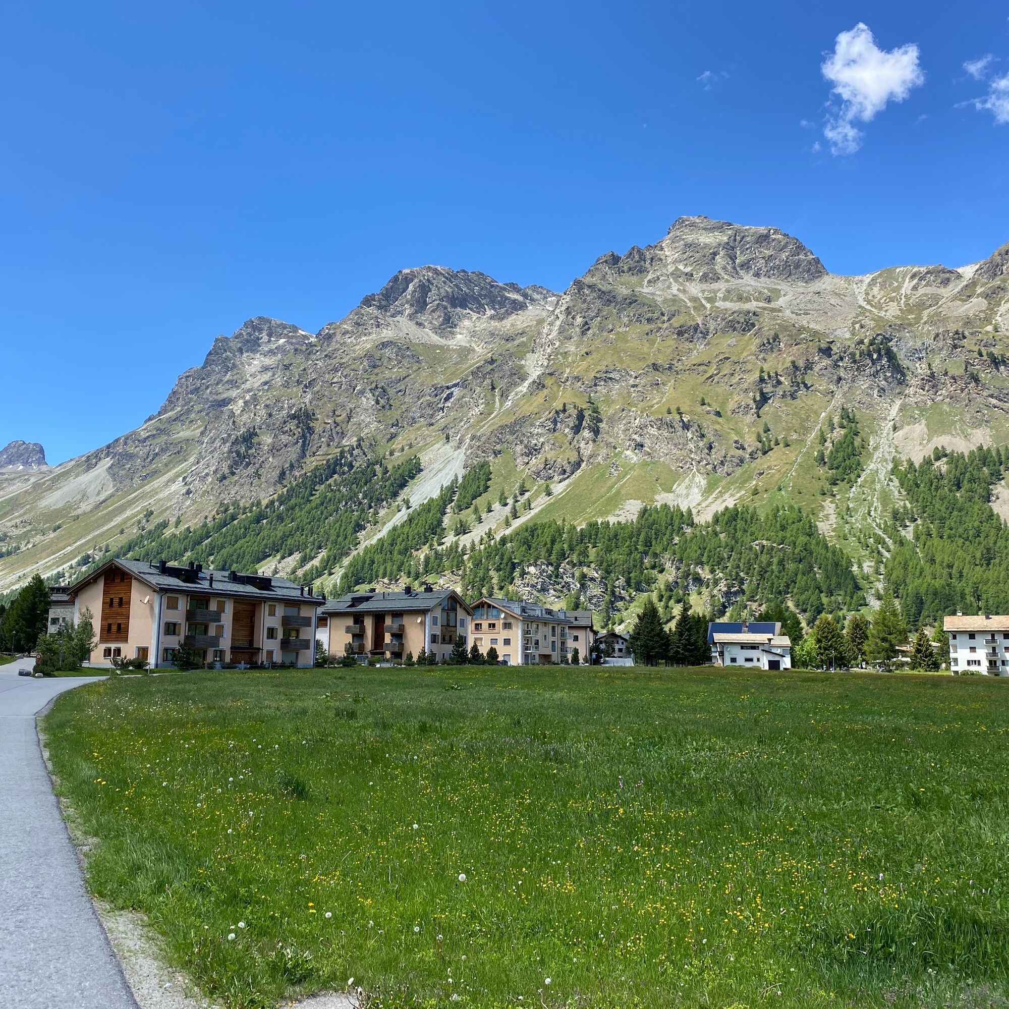
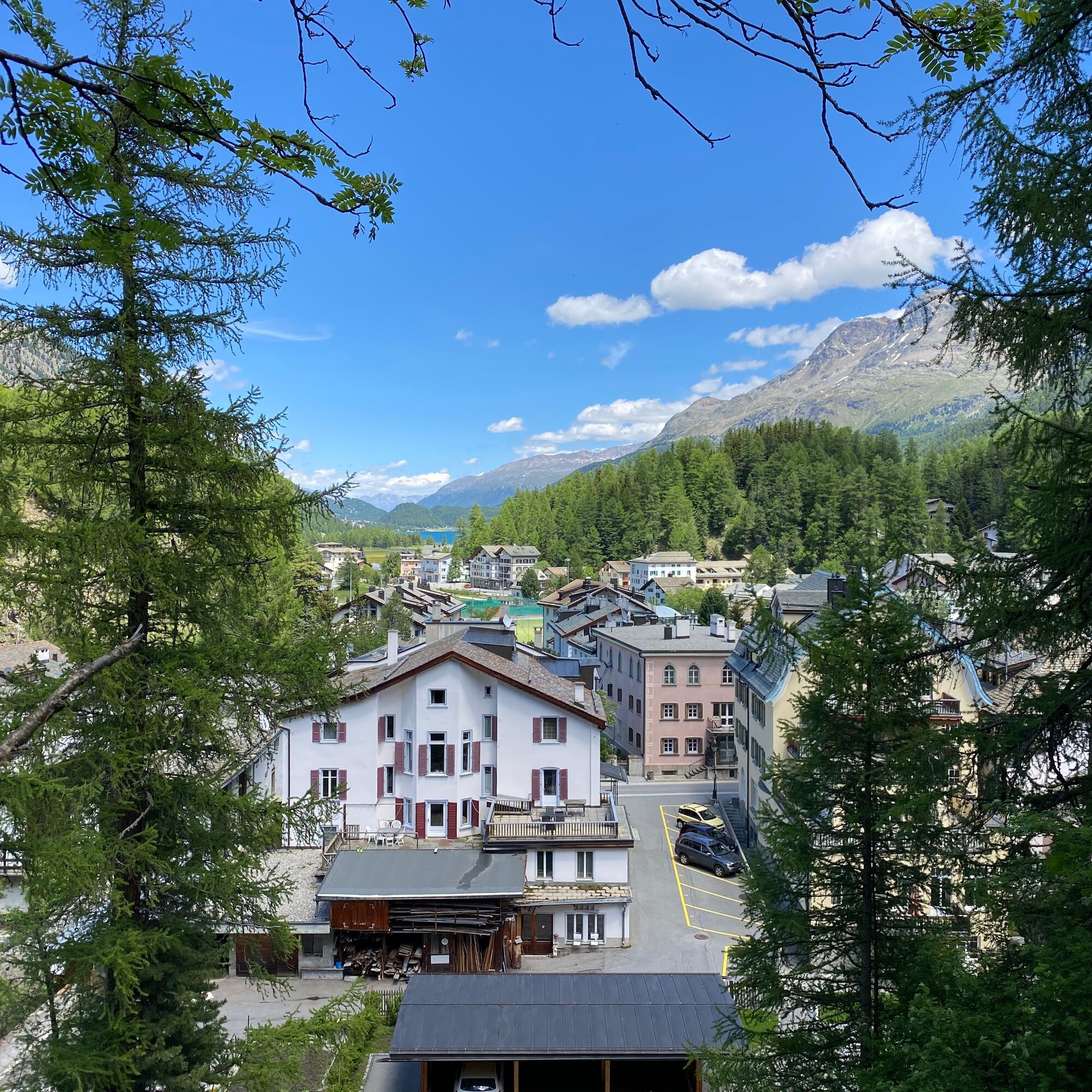
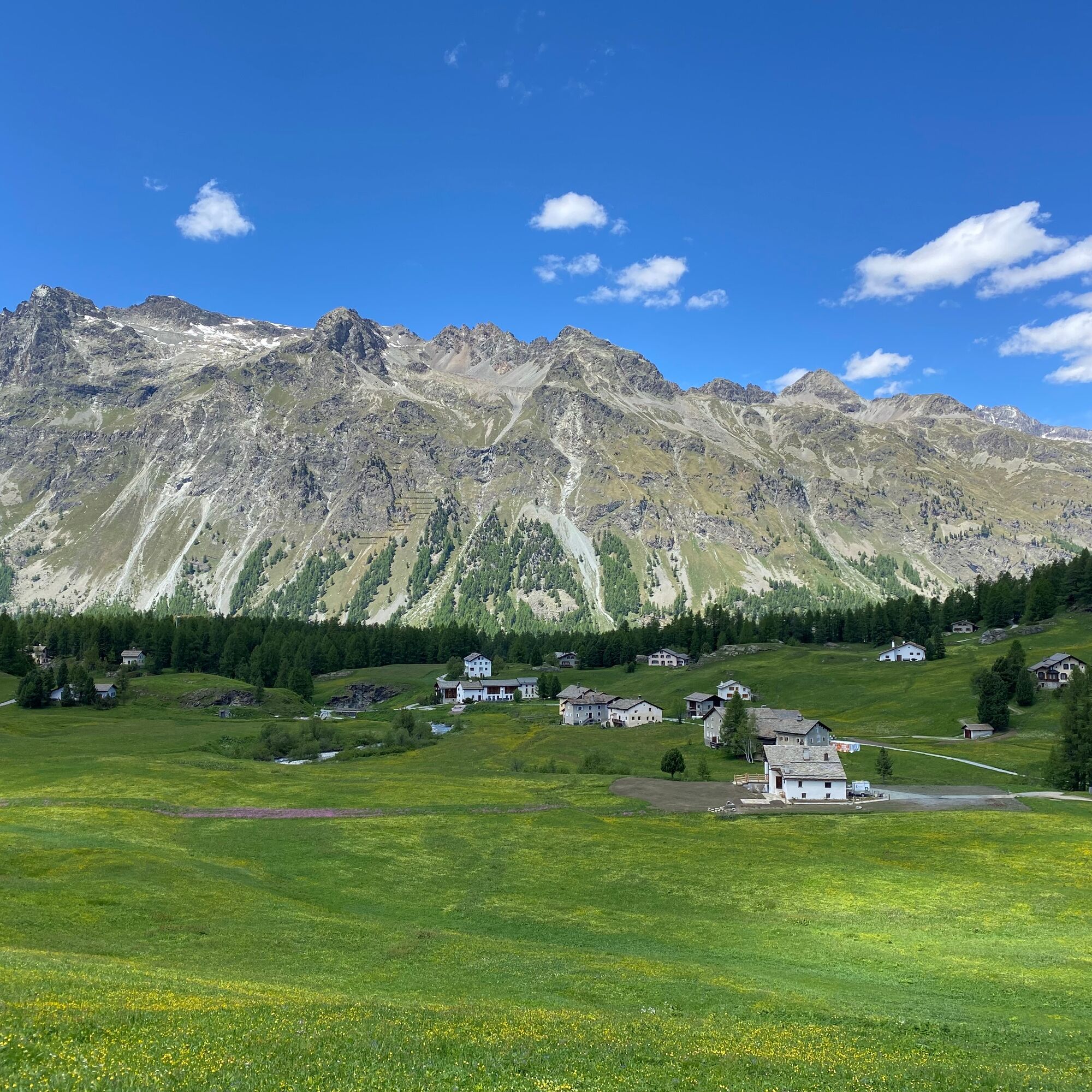
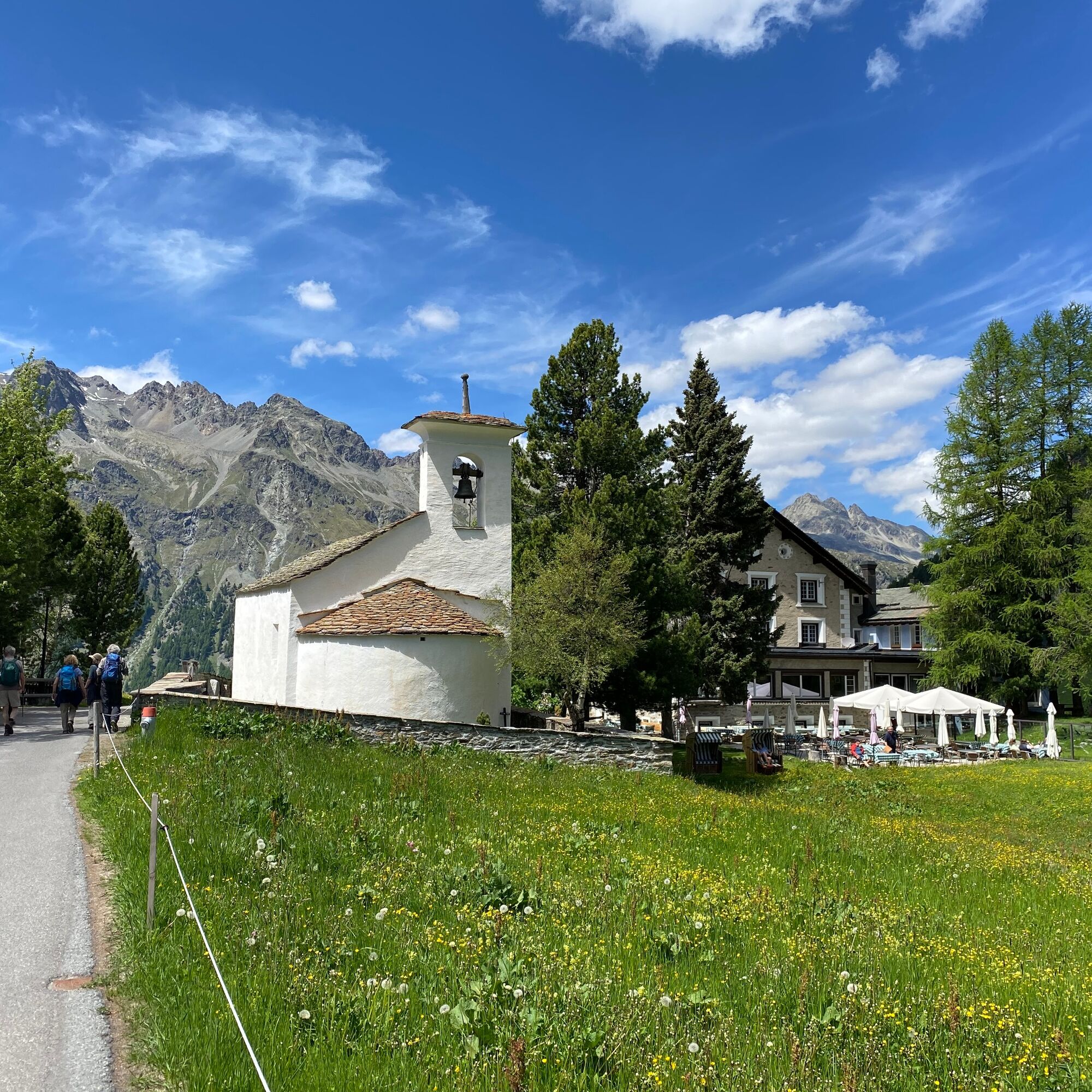
The route starts at the St. Moritz train station, where you first cycle along Lake St. Moritz to the Catholic church. Through St. Moritz Bad, the path goes behind the Hotel Kempinski to the Olympic ski jump and up to the bathing lake Lej Marsch. Now follow the signposted route No. 65 "Inn Cycle Path" towards Sils and reach the idyllic Lake Champfèrer. Along Lake Silvaplana, the wide natural path leads into picturesque Sils Maria. At the village square of Sils Maria, you leave route No. 65 to cycle up to the Waldhaus Hochtel and into Val Fex. At Hotel Fex is the turnaround point of this route. The way back follows the same path to Champfèr. In the middle of Champfèr, a path leads steeply left up behind the Hotel Suvrettahaus and above the road to St. Moritz village. Passing the world-famous Palace Arcades, you return to the St. Moritz train station.
Further information
Engadin Tourismus AG
Via Maistra 1
CH-7500 St. Moritz
Telephone: +41 81 830 00 01
E-Mail: allegra@engadin.ch
Internet: www.engadin.ch

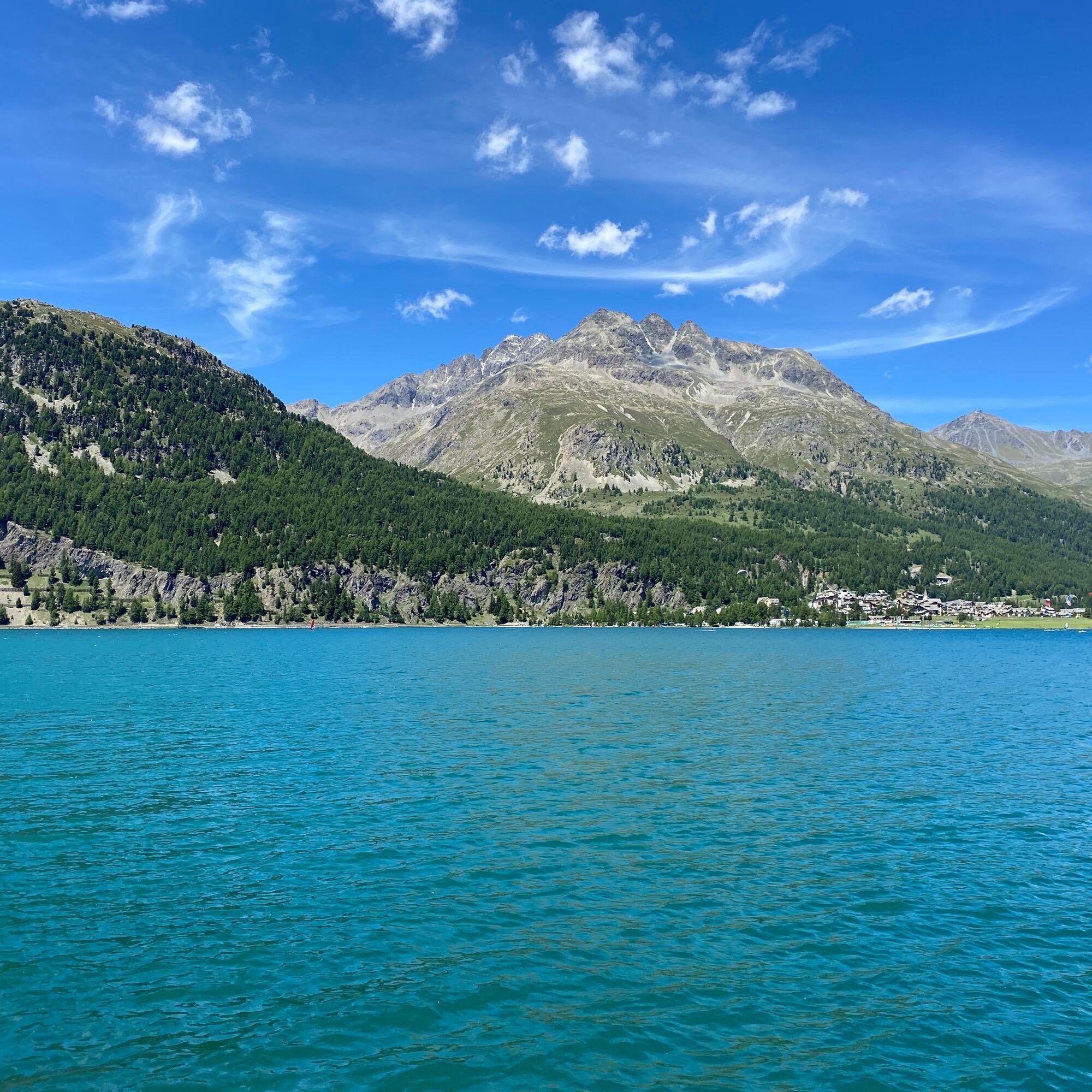
St. Moritz train station - Lake St. Moritz - Lej Marsch - Lake Champfèrer - Lake Silvaplana - Sils - Hotel Fex - Sils - Lake Silvaplana - Champfèr - St. Moritz village - St. Moritz train station
2
From noon, a strong south wind often blows, the well-known Maloja wind, over the Upper Engadine lakes. To avoid strong headwinds, it is advisable to start the route in the morning.
Very busy during the high season.
Webové kamery z prohlídky
Corviglia
Corvatsch
Marguns - Plateau Nair
Samedo - Engadin Golf
Corviglia
Corviglia
Corviglia
Corviglia
Corviglia
Corviglia
Sils - Hotel Waldhaus
Corviglia
Silvaplana - Mittelstation Murtèl
Silvaplana - Mittelstation Murtèl
Silvaplana - Mittelstation Murtèl
Silvaplana - Mittelstation Murtèl
Silvaplana - Mittelstation Murtèl
Corvatsch
Celerina - Cresta Palace
Piz Nair - St. Moritz
Celerina - Skiwiese Provuler
St. Moritz / Trais Fluors Bergstation
St. Moritz - Berghotel Randolins
Samedan - Engadin Airport
El Paradiso
Maloja Palace
Aela
Piz Nair Bergstation
Piz Nair Bergstation
Piz Nair Bergstation
Piz Nair Bergstation
Piz Nair Bergstation
Piz Nair Bergstation
Piz Nair Bergstation
Piz Nair Bergstation
Trais Fluors Bergstation
Sporthotel Pontresina
Silvana - Alpetta Hütta
Alpetta Hütta, Corvatsch
Corvatsch - Hossa Bar
Oblíbené prohlídky v okolí
- 4,7
Diavolezza - Munt Pers
světloTuristika 3,82 km - 5,0
Morteratsch station - Boval Hut
středníTuristika 10,5 km - 5,0
Muottas Muragl - Segantini hut - Pontresina
středníTuristika 6,46 km - 4,4
Panoramic route Muottas Muragl
světloTuristika 6,75 km - 4,8
Maloja - Motta Salacina - Lägh da Cavloc - Maloja
středníTuristika 10,3 km - 4,5
Pontresina - Val Roseg - Pontresina
světloTuristika 13,8 km - 4,7
SAC Tschierva
světloTuristika 24,7 km - 4,8
Morteratsch Glacier route
světloTematická stezka 2,88 km Muottas Muragl - Segantini Hütte - Pontresina
středníTuristika 17,5 km- 4,2
Piz Palü (3.905m) – Hochtour
středníVysokohorská turistika 13,4 km
Pěší turistika a stopování


Nenechte si ujít nabídky a inspiraci pro vaši příští dovolenou
Vaše e-mailová adresa byl přidán do poštovního seznamu.