


Pontresina - Val da Fain - Pontresina
Úroveň obtížnosti: S1
Fotografie našich uživatelů
-
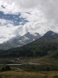
 © Ivano MerelliVytvořeno dne 20.08.2024
 -

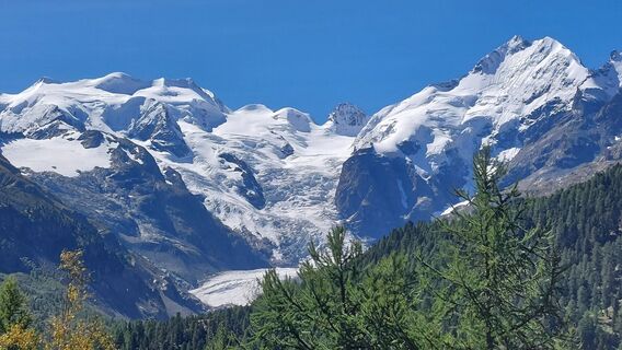
 © Pierre SmitsVytvořeno dne 25.01.2026
 -
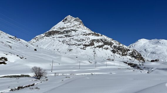
 © Baszler FritzVytvořeno dne 03.09.2025
 -
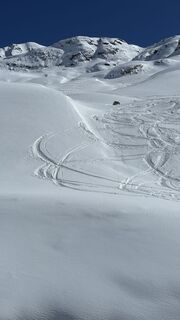
 © Robert RuckstuhlVytvořeno dne 20.03.2025
 -
 © Robert RuckstuhlVytvořeno dne 20.03.2025
 -

 © Harry Kooijman 1Vytvořeno dne 02.07.2024
 -
 © Harry Kooijman 1Vytvořeno dne 02.07.2024
 -

 © sander dijkstraVytvořeno dne 02.07.2024
 -
 © Harry Kooijman 1Vytvořeno dne 02.07.2024
 -
 © Harry Kooijman 1Vytvořeno dne 02.07.2024
 -
 © sander dijkstraVytvořeno dne 02.07.2024
 -
 © sander dijkstraVytvořeno dne 02.07.2024
 -
 © sander dijkstraVytvořeno dne 02.07.2024
 -
 © Harry Kooijman 1Vytvořeno dne 02.07.2024
 -
 © sander dijkstraVytvořeno dne 02.07.2024


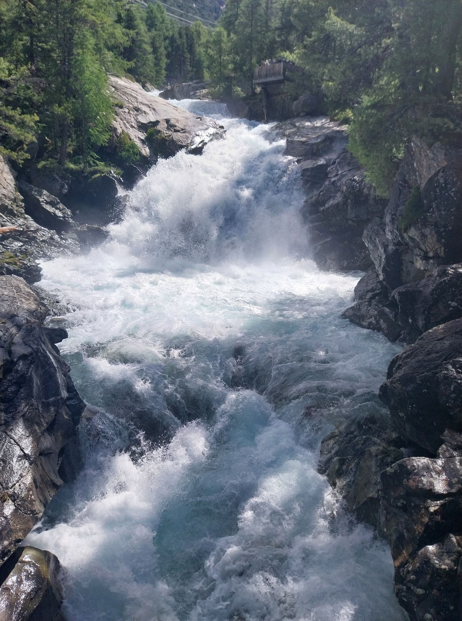
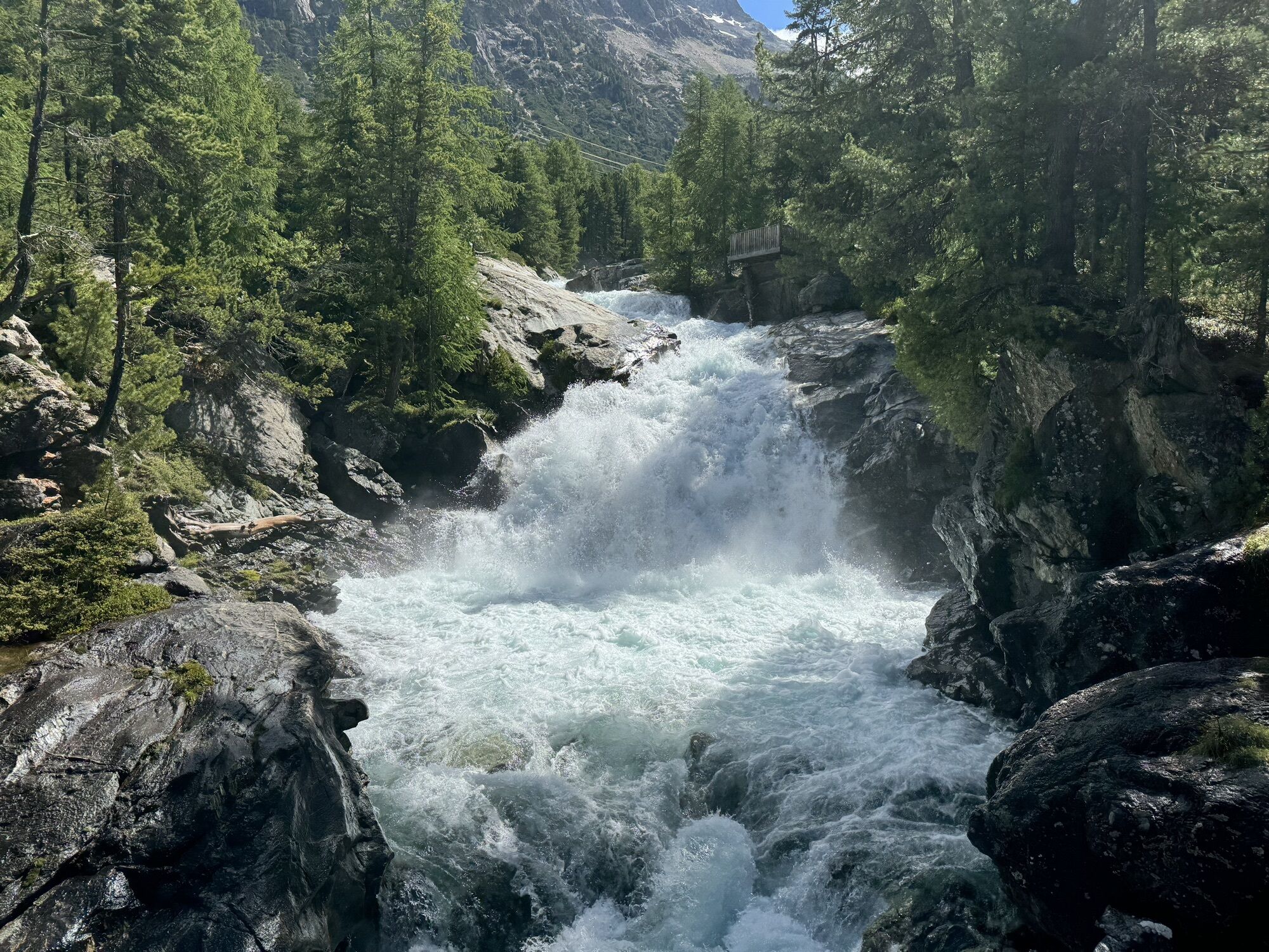
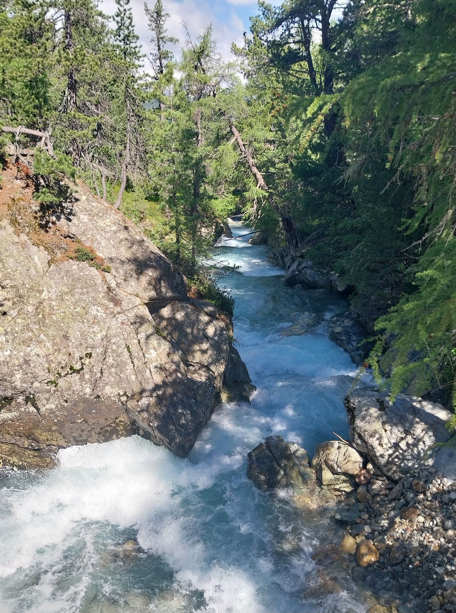
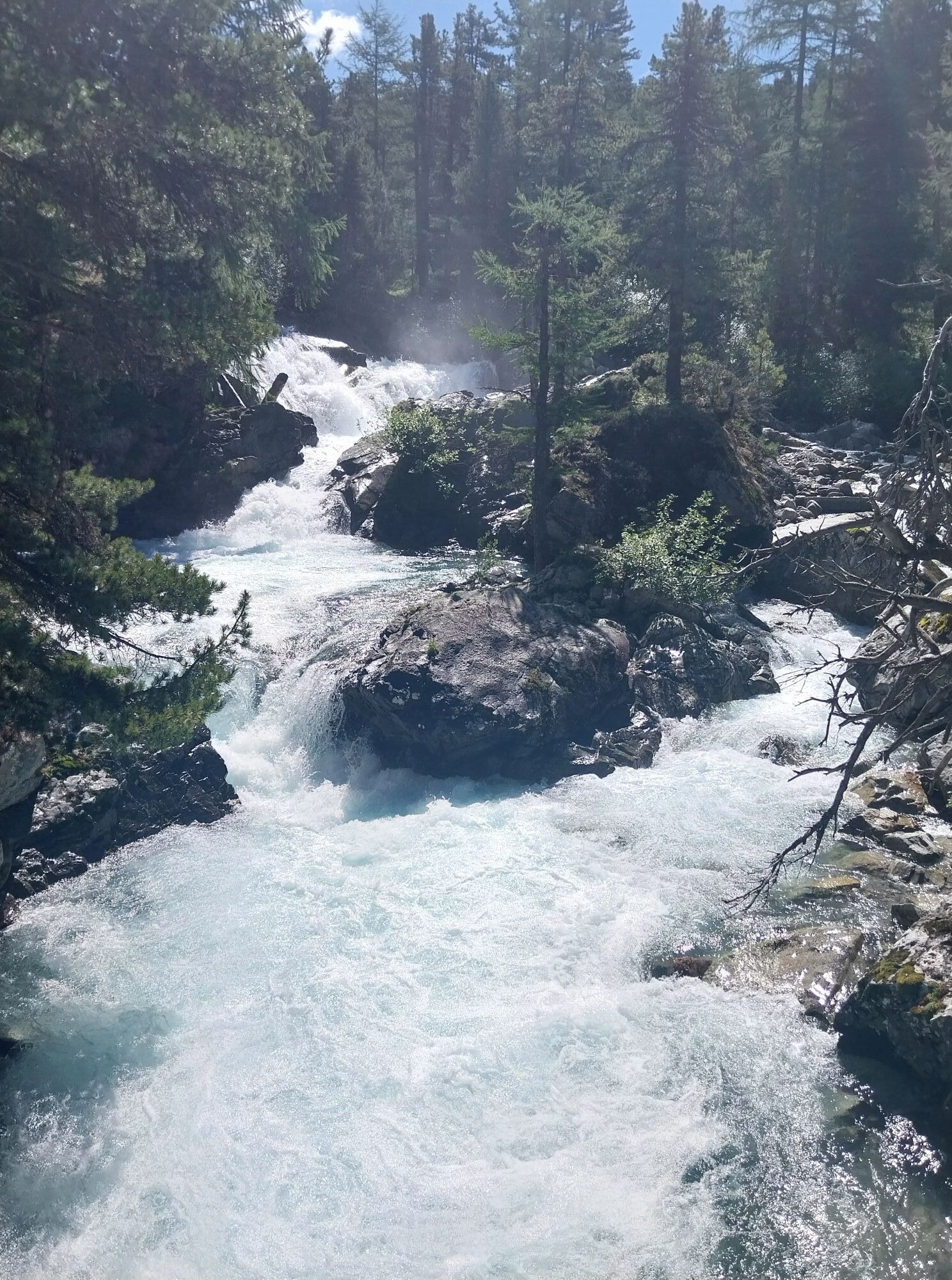
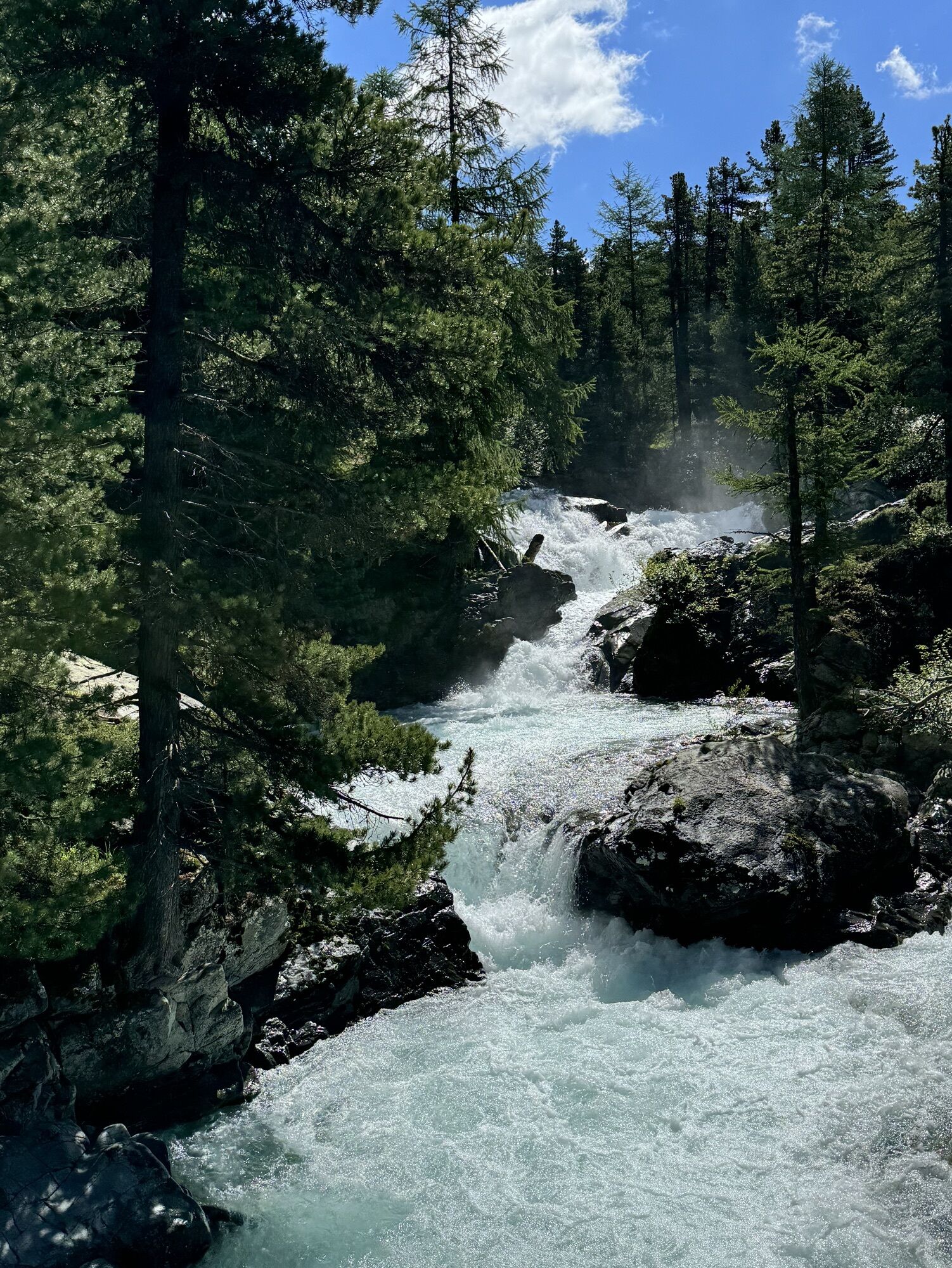
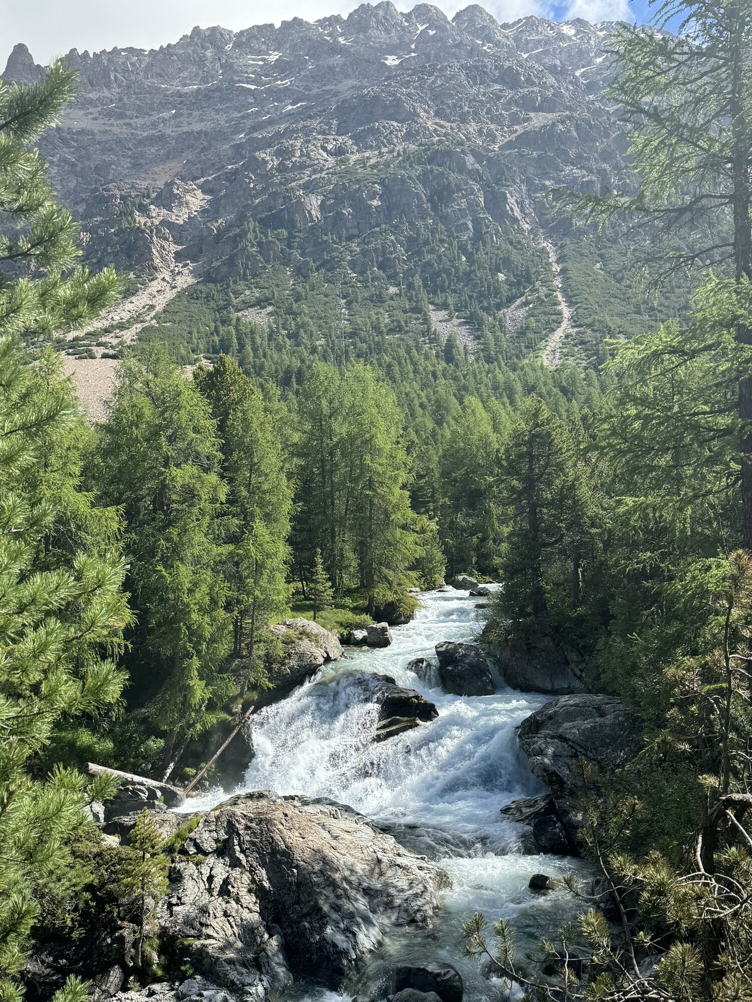

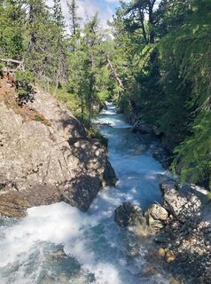
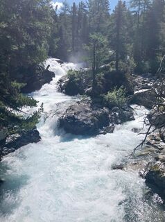
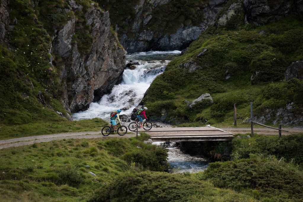
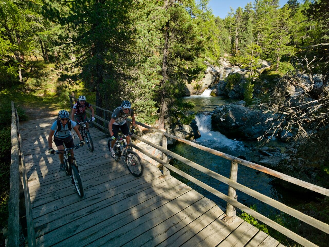
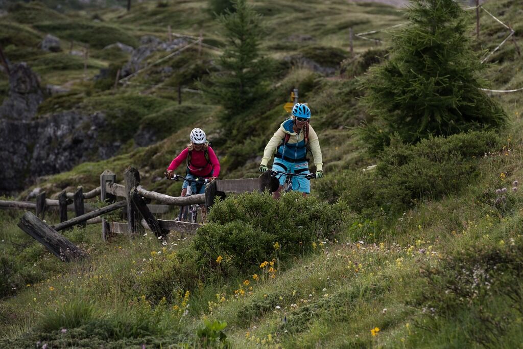
At the village exit of Pontresina, a gently ascending bike path begins towards the Bernina Pass. At the waterfall (on the right side of the valley), you cross the road and follow the forest edge on the...
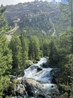
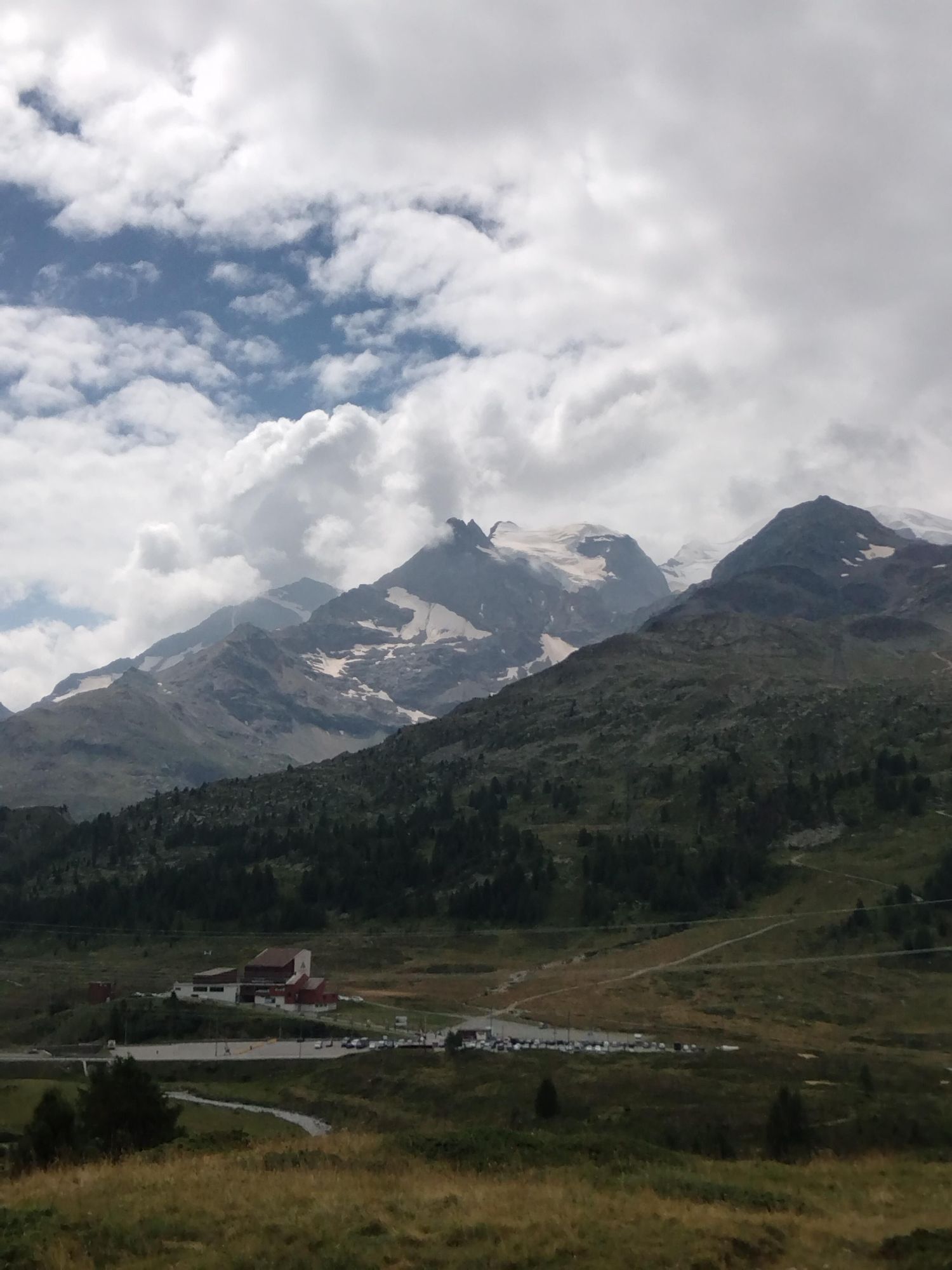
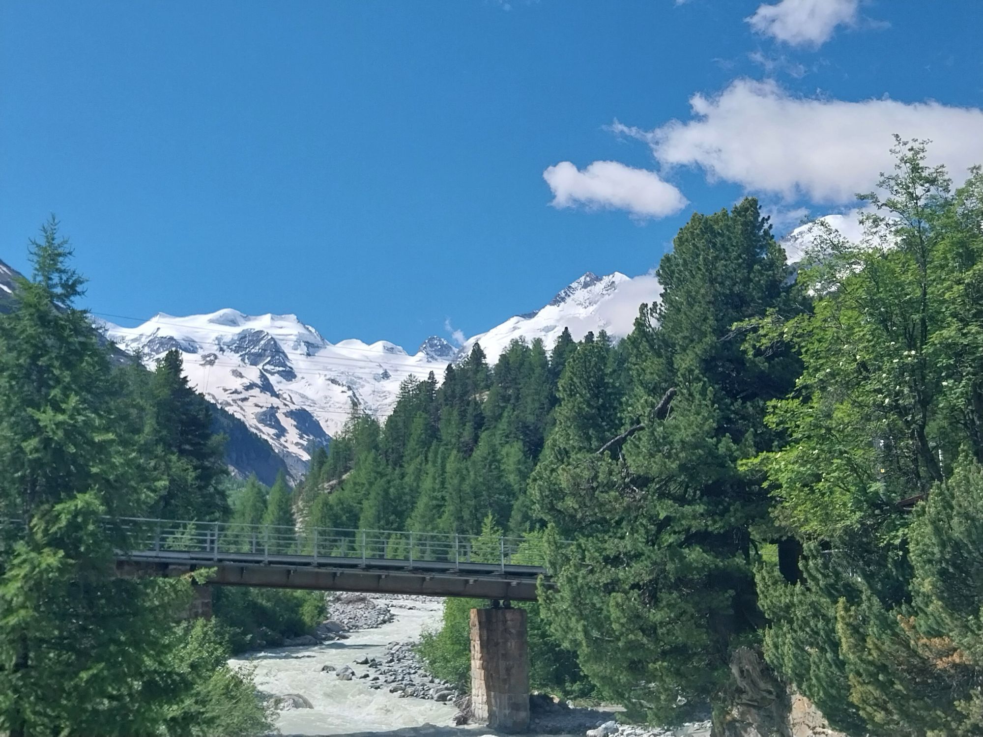
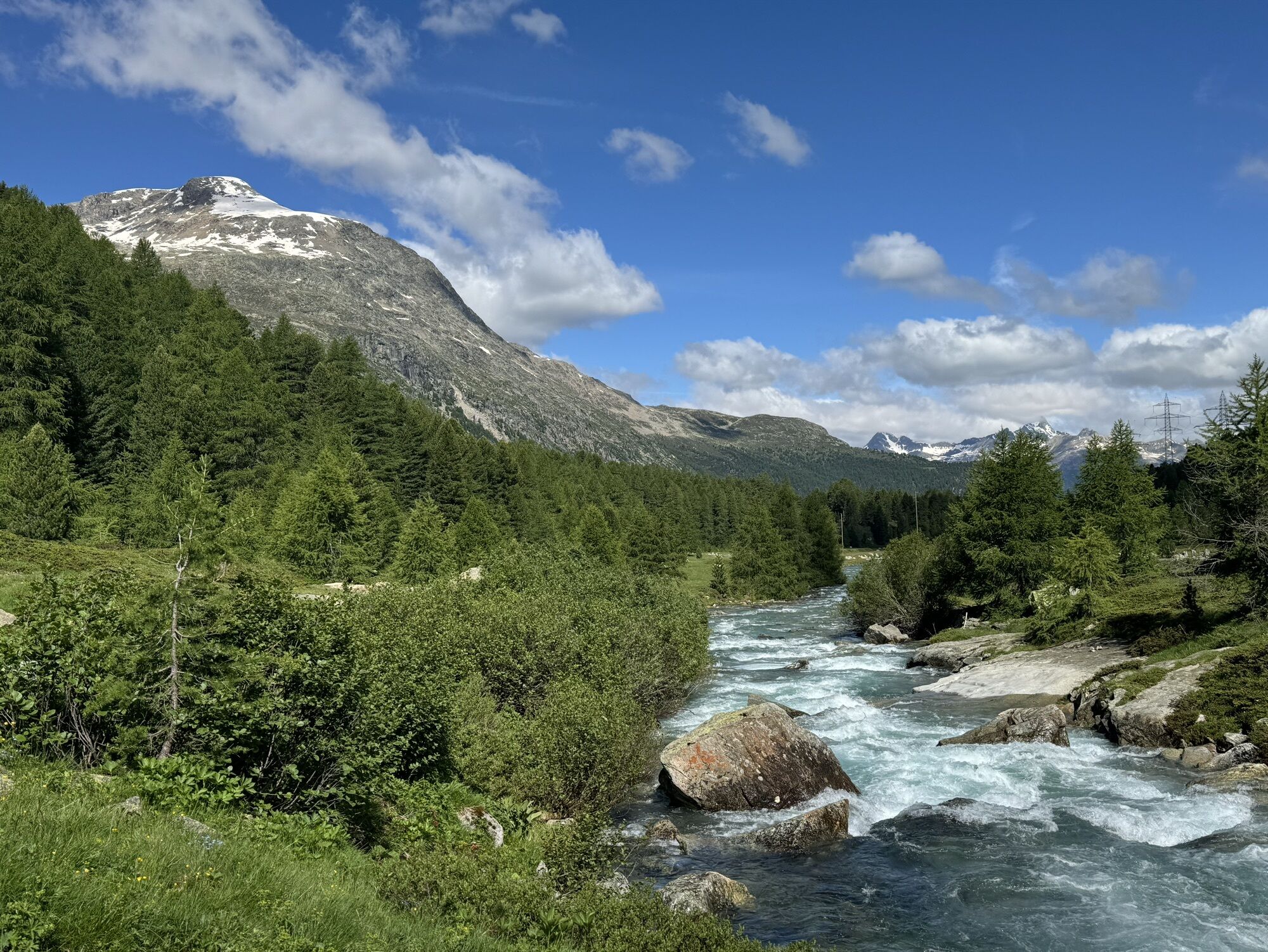
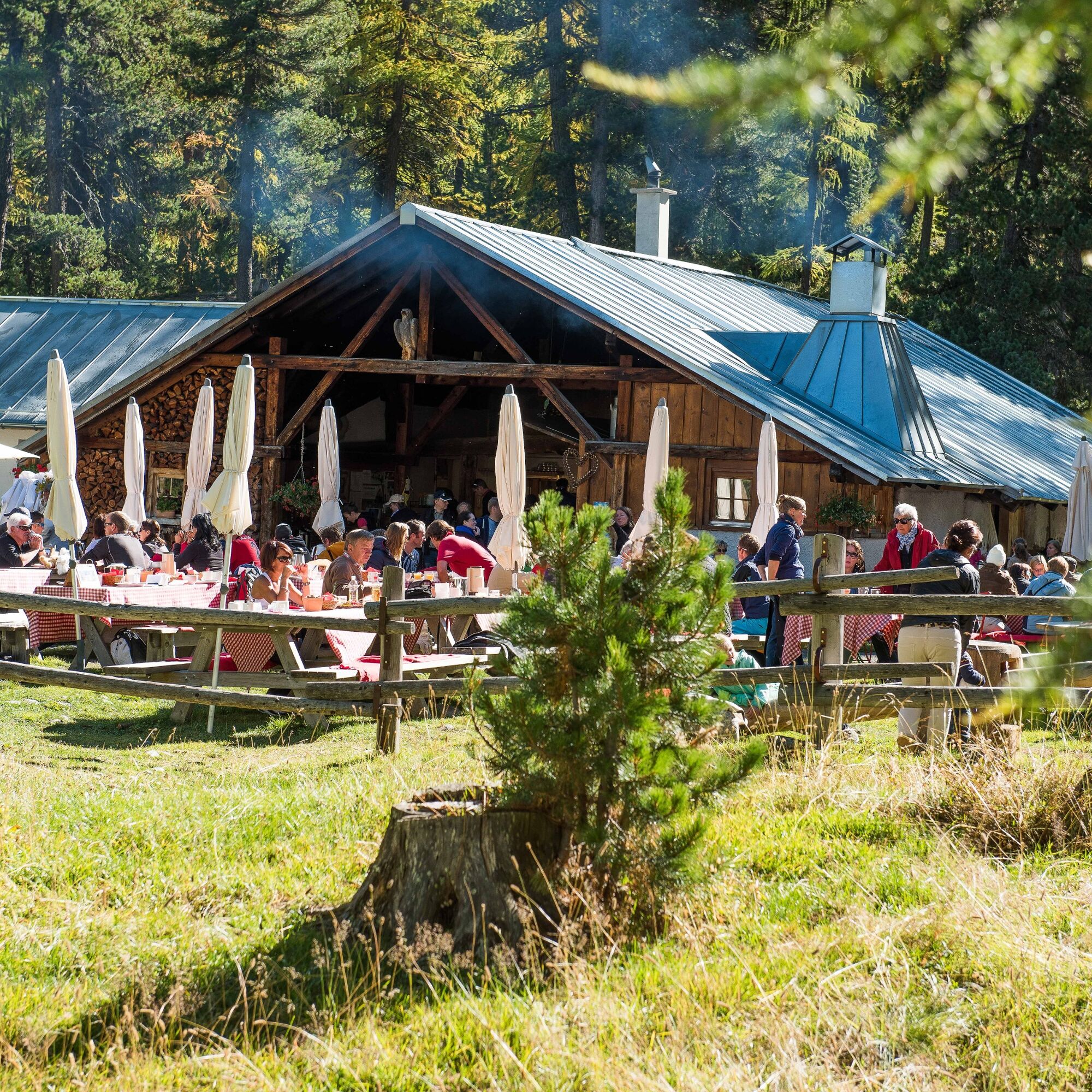
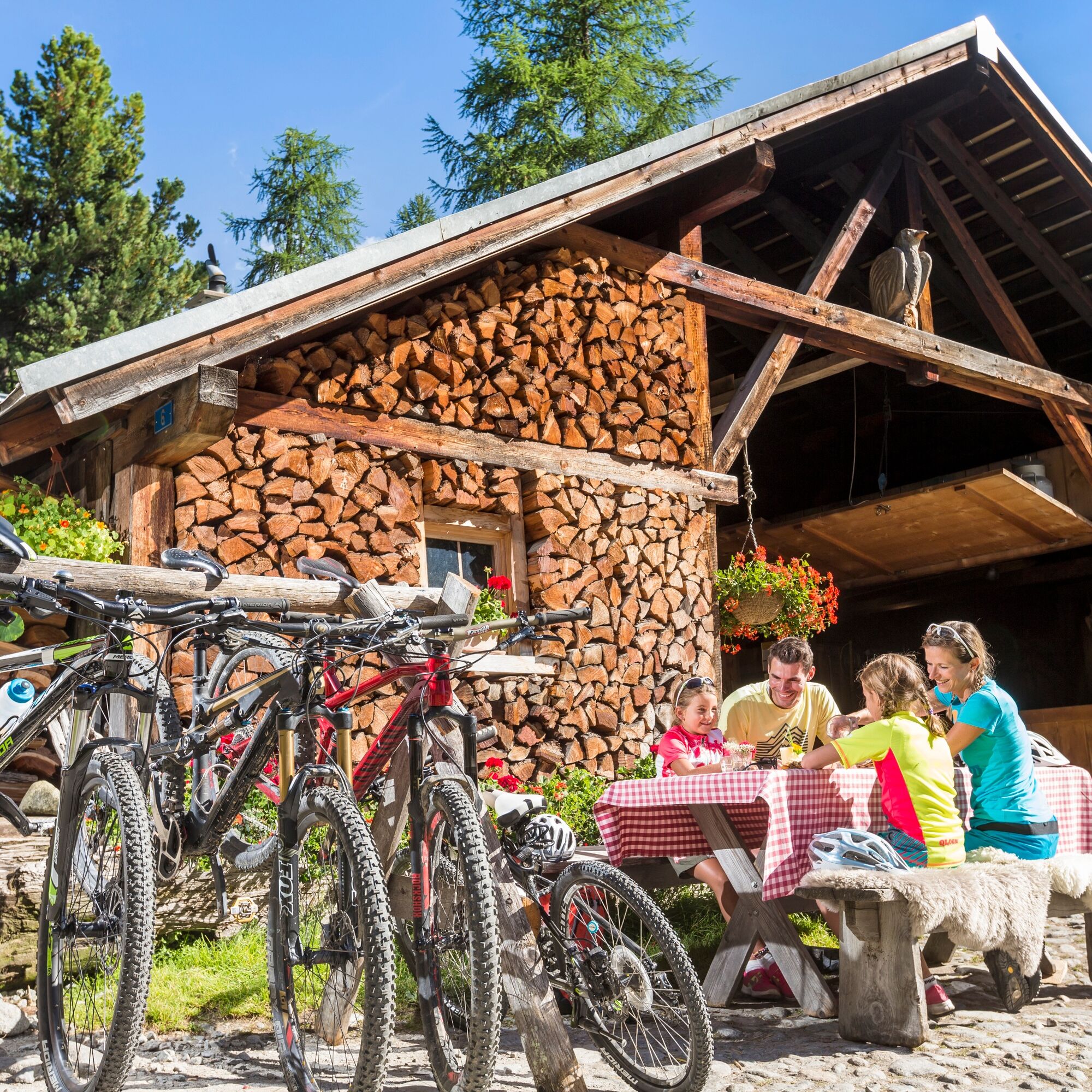
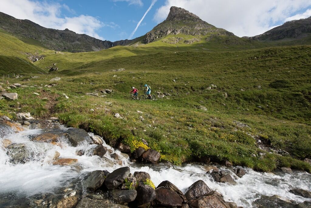
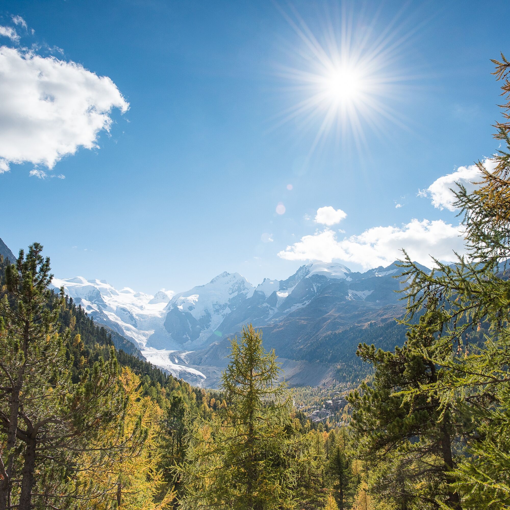
At the village exit of Pontresina, a gently ascending bike path begins towards the Bernina Pass. At the waterfall (on the right side of the valley), you cross the road and follow the forest edge on the left side of the valley to Morteratsch. There, the Alpine show cheese dairy invites you to stop – whether for brunch or to watch the cheese making. Refreshed, you then tackle the strenuous climb behind Morteratsch. Following the Bernina stream, you reach the Bernina Suot houses, from where the path then turns left into the Val da Fain. It is worth stopping from time to time – not only to catch your breath but also to enjoy the view back towards the Bernina massif. The glaciated Palüs mountains seem within reach. At Alp Stretta, the turning point is reached, and the descent back to Pontresina quickly makes you forget the effort of the ascent.
Further information
Engadin St. Moritz Tourism AG
Via Maistra 1
CH-7500 St. Moritz
Phone: +41 81 830 00 01
E-Mail: allegra@engadin.ch
Website: www.engadin.ch

Pontresina - Morteratsch - Bernina Suot - Val da Fain - Alp la Stretta - Val da Fain - Bernina Suot - Resgia - Pontresina
S1
In Val da Fain, you can hear and see many marmots.
Webové kamery z prohlídky
-
St. Moritz / Samedan - Muottas Muragl
-
Camping Morteratsch
-
Samedo - Engadin Golf
-
St. Moritz / Samedan - Muottas Muragl
-
Diavolezza Bergstation
-
Diavolezza Bergstation
-
Diavolezza Bergstation
-
Diavolezza Bergstation
-
Diavolezza Bergstation
-
Diavolezza Bergstation
-
Diavolezza Bergstation
-
Diavolezza Bergstation
-
Celerina - Cresta Palace
-
Celerina - Skiwiese Provuler
-
Samedan - Engadin Airport
-
Bergstation Lagalb
-
Bergstation Lagalb
-
Bergstation Lagalb
-
Bergstation Lagalb
-
Bergstation Lagalb
-
Bergstation Lagalb
-
Sporthotel Pontresina
-
Pontresina - Hotel Walther
-
Pontresina - Langlauf und Bikezentrum
-
Pontresina - Eiskletter-Schlucht
-
Pontresina - Hotel Saratz
Oblíbené prohlídky v okolí
-
4.7
Diavolezza - Munt Pers
světloTuristika 3.82 km -
5.0
Morteratsch station - Boval Hut
středníTuristika 10.5 km -
5.0
Mountain hike to Lagh da Saoseo
heavyTuristika 15.0 km -
5.0
Muottas Muragl - Segantini hut - Pontresina
středníTuristika 6.46 km -
4.4
Panoramic route Muottas Muragl
světloTuristika 6.75 km -
4.5
Pontresina - Val Roseg - Pontresina
světloTuristika 13.8 km -
4.7
SAC Tschierva
světloTuristika 24.7 km -
4.8
Morteratsch Glacier route
světloTematická stezka 2.88 km -
Muottas Muragl - Segantini Hütte - Pontresina
středníTuristika 17.5 km -
5.0
Lagalb - Val Minor - Motta Bianca - Lagalb
středníTuristika 9.80 km

Pěší turistika a stopování


Nenechte si ujít nabídky a inspiraci pro vaši příští dovolenou
Vaše e-mailová adresa byl přidán do poštovního seznamu.