


Banjšice: the Sedevčič Trail
Fotografie našich uživatelů
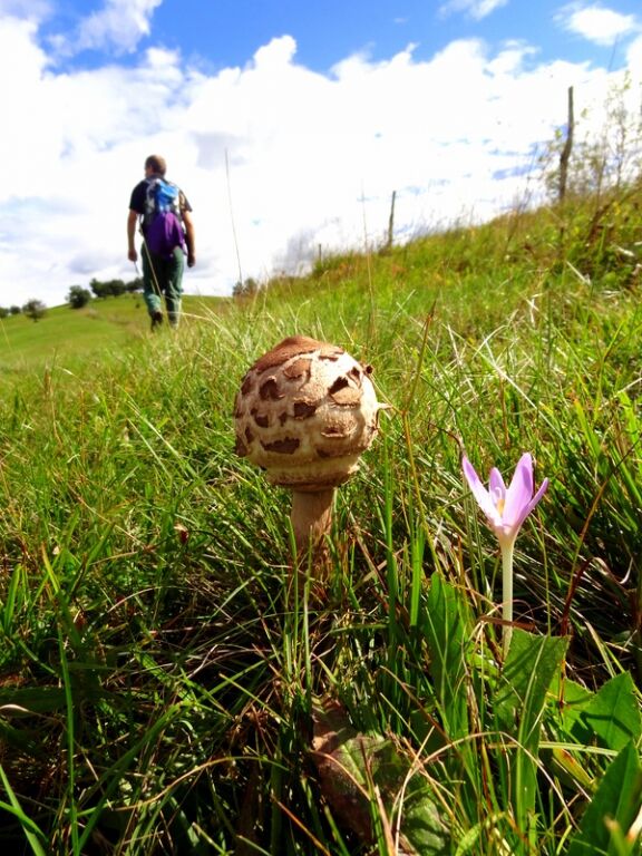
This mellow yet slightly longer trail leads through the primal world of the Banjšice Plateau, past signature villages, over grassy slopes and through pristine forests. The trail is the perfect choice for...
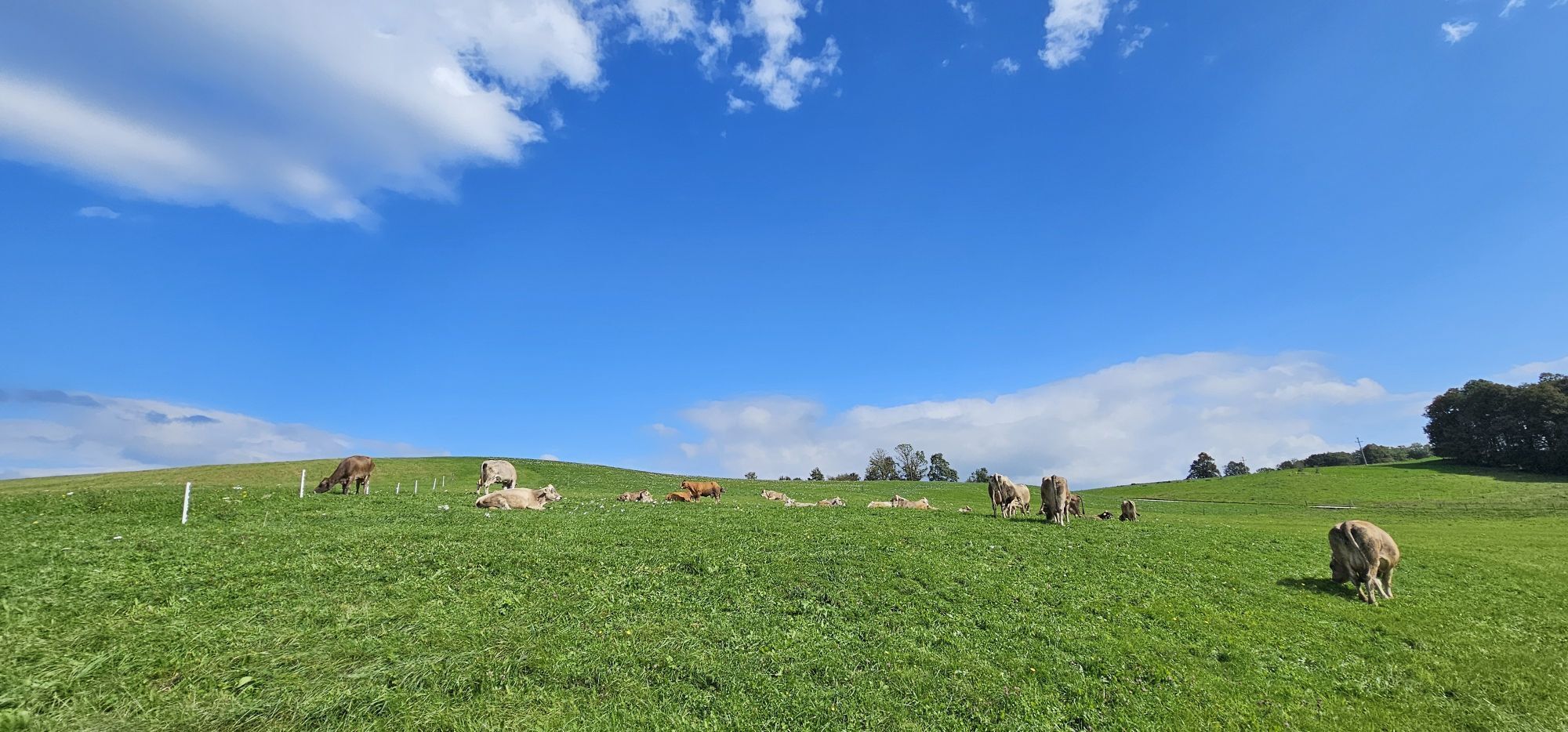
This mellow yet slightly longer trail leads through the primal world of the Banjšice Plateau, past signature villages, over grassy slopes and through pristine forests. The trail is the perfect choice for hikers who want to quiet their mind and spend their day listening to nature, or to simply get away from the summer heat.
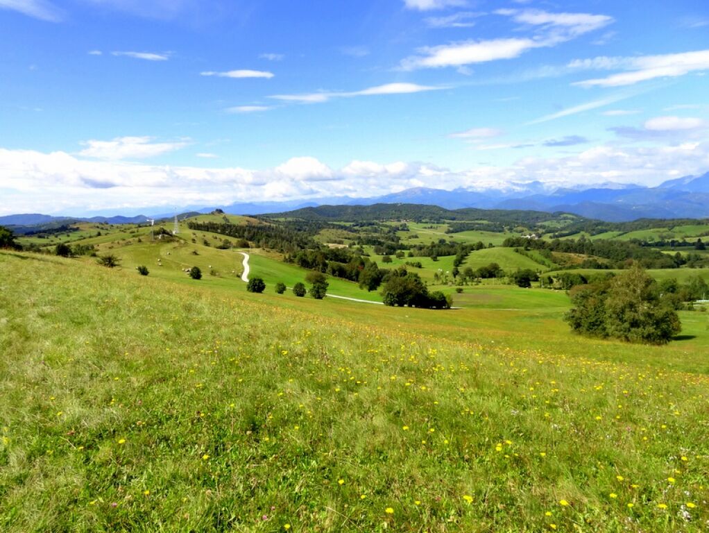
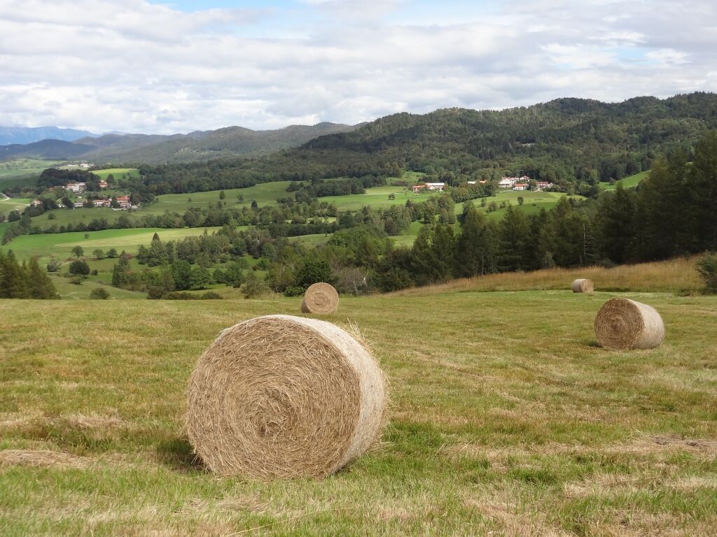
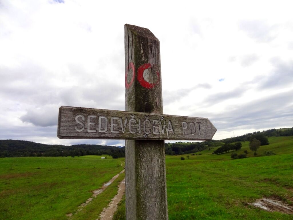
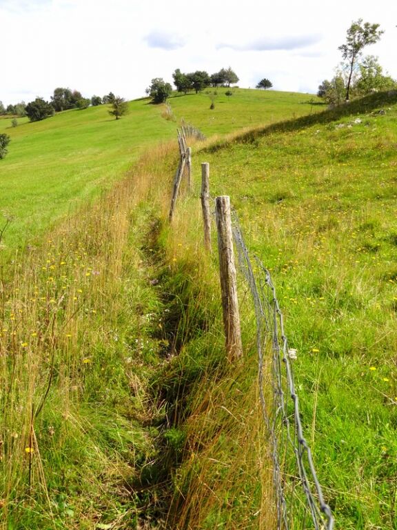
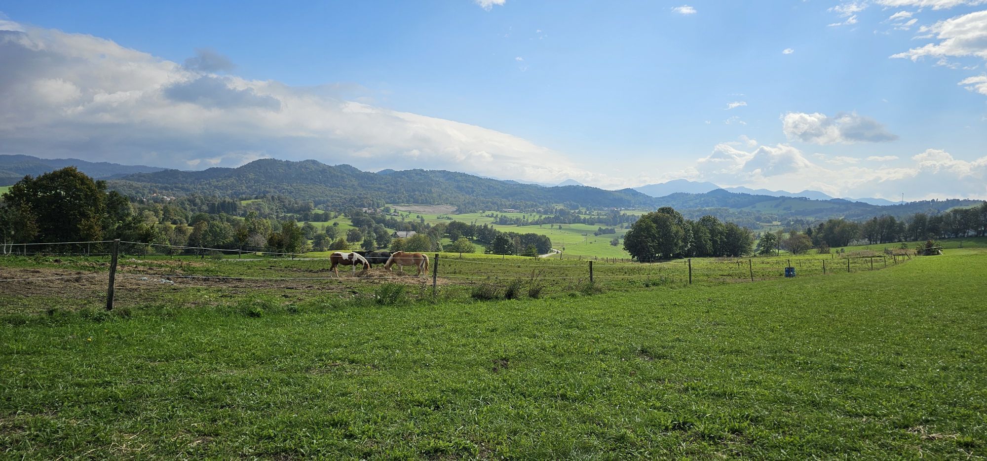
Start at the parking lot in front of the village hall in Banjšice. Head to the road towards Nova Gorica. After approx. 300 m, the marking directs you to Mt Slemen (800 m). You will reach Kuk over an up-and-down grassy slope, pass the Sveto–Krvavec road, and in a slight incline hike up the pasture to a forest until you finally reach Mt Zgorelec (876 m). From its summit, head east and down the cart track that takes you to the Banjšice–Lokovec gravel road. After one kilometre, the marking directs you right up the hill over a marked shortcut, until, after 300 m, you will reach a cart track that takes you to a small wooden shack. Continue on the path over a small ridge that will lead you to the next woodland path. You will leave Mt Smrdikovec (899 m) behind you on your left. Before long, the marking shows right again to the woodland path which takes you to the foot of Mt Vetrnik (903 m). The ascent and descent from Mt Vetrnik over rocks will require you to use your hands. Next, you go downhill through Biškovec to arrive in PodlešÄe. Continuing on the asphalt road to Trušnje, you will reach the Church of the Holy Spirit. From here, first descend through the hamlet of PodgriÄ to arrive in Marcinje and next ascend to Luže. In Luže, cross the Trušnje–Kanalski Vrh road, visit the plaque to Valentin StaniÄ, pass the military cemetery from WW1, ascend the winding mule track and finally arrive on Mt Golek (821 m). On the summit, markings direct you to the hamlet of Lohke. After another two kilometres, the asphalt road will take you back to the start.
Hiking boots and hiking poles
No special safety issues
Oblíbené prohlídky v okolí
- 4.0
Kolovrat
středníMountainbike 33.0 km JULIANA TRAIL – stage 20: Šmartno - Solkan
heavyTuristika 13.3 km- 1.0
JULIANA TRAIL: stage 10 Grahovo ob Bači – Most na Soči
středníTuristika 16.6 km JULIANA BIKE - stage 5: Tolmin - Zakojca
středníJízda na kole 30.7 kmJULIANA TRAIL – stage 19: Korada - Šmartno
středníTuristika 11.4 kmJULIANA TRAIL - stage 18: Pod Ježo mountain hut - Korada
středníTuristika 20.7 kmJULIANA BIKE - ACCESS stage: Goriška Brda - Tolmin
středníJízda na kole 48.3 km- 4.0
Kot Waterfall / Slap Kot
světloTuristika 1.73 km SOČA VALLEY I6: Kanal - Tolmin
středníJízda na kole 14.5 kmGORIŠKA BRDA I2: Šmartno - Idrija River Valley - Lig - Kambreško - Solarji - Tolmin
heavyJízda na kole 36.7 km

Pěší turistika a stopování


Nenechte si ujít nabídky a inspiraci pro vaši příští dovolenou
Vaše e-mailová adresa byl přidán do poštovního seznamu.