






GORIŠKA BRDA I2: Šmartno - Idrija River Valley - Lig - Kambreško - Solarji - Tolmin
Úroveň obtížnosti: 4
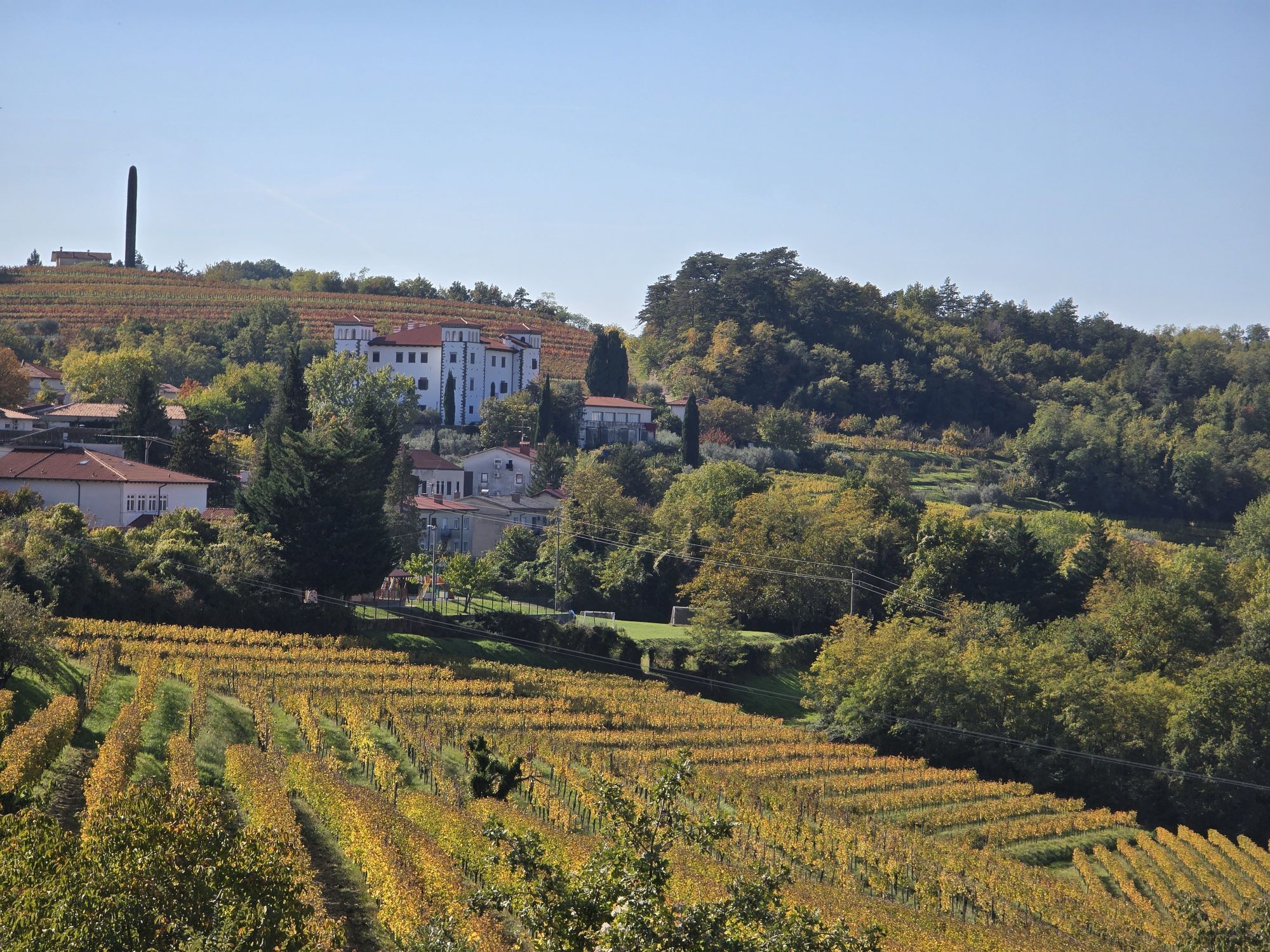
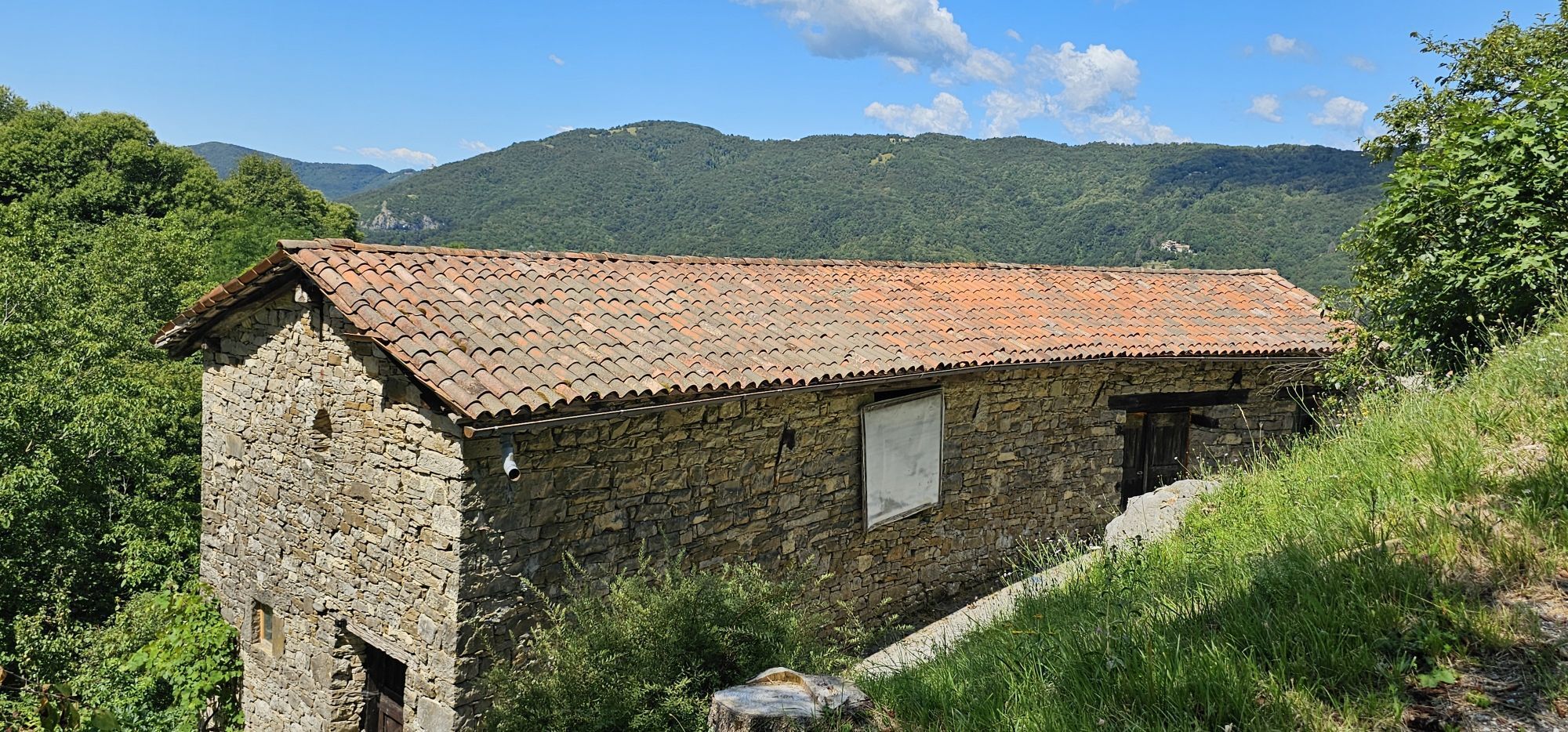
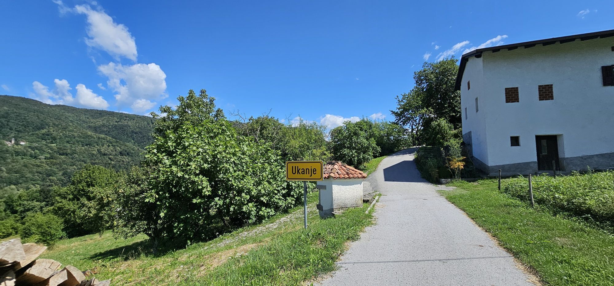
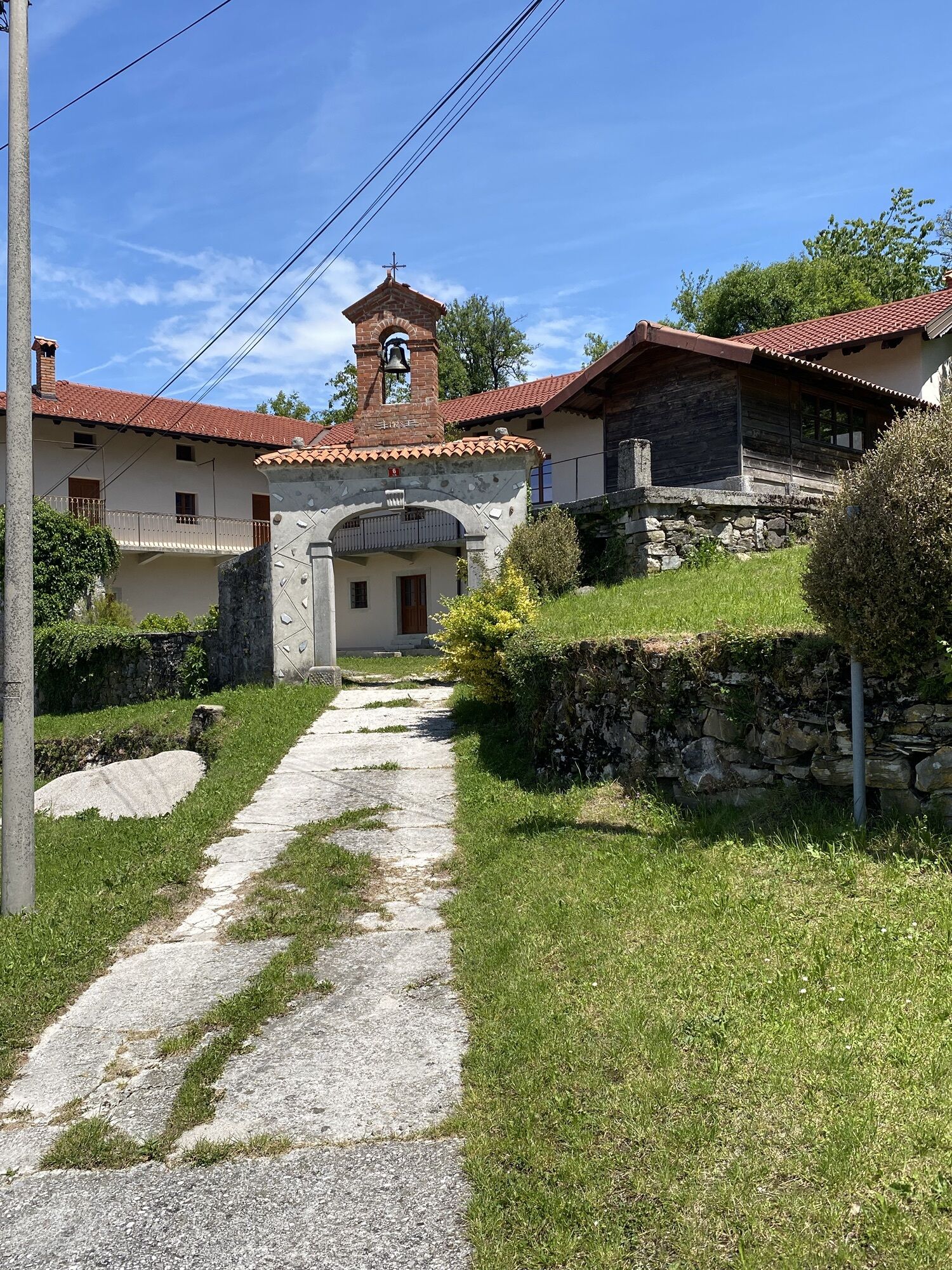
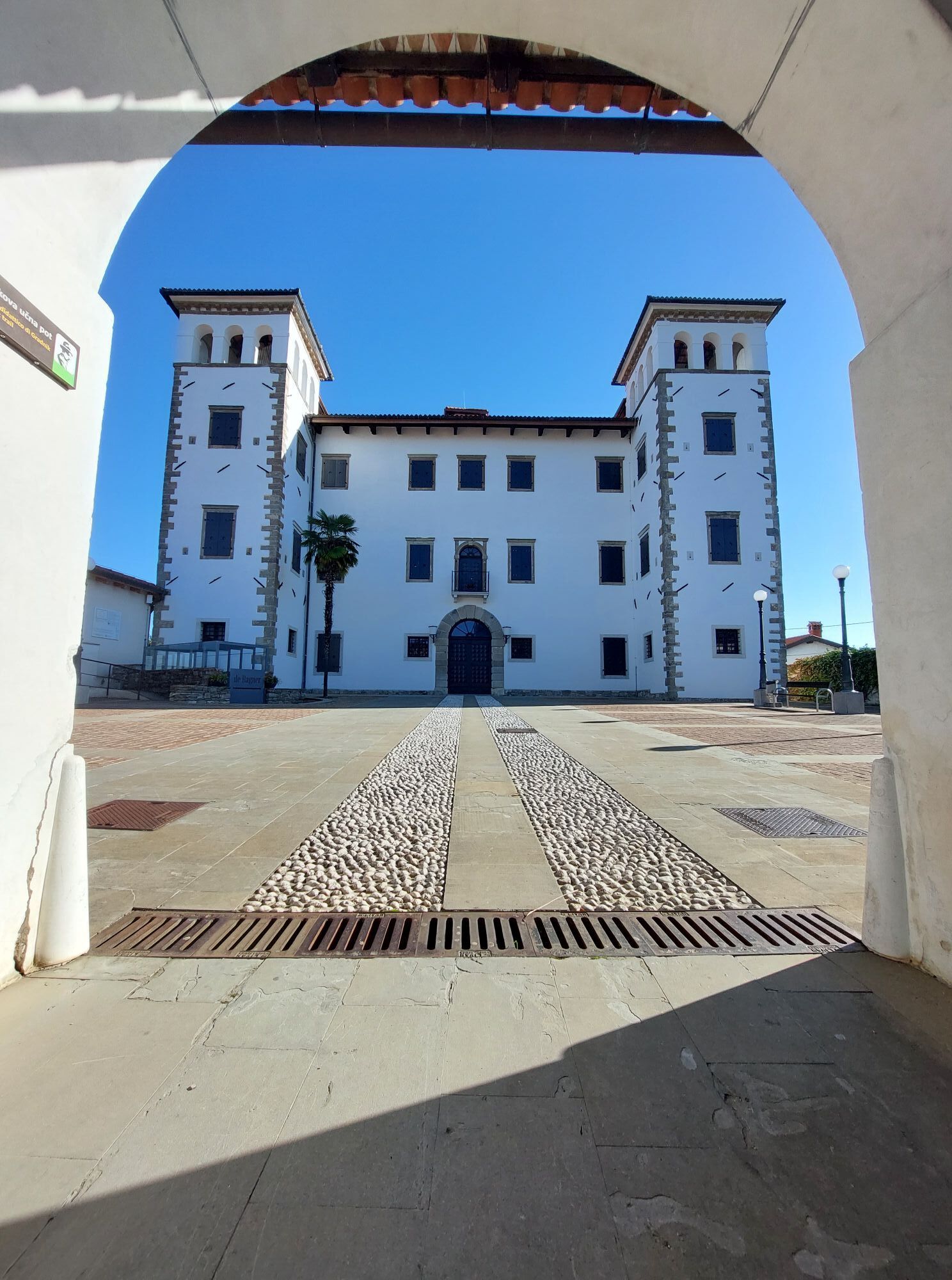
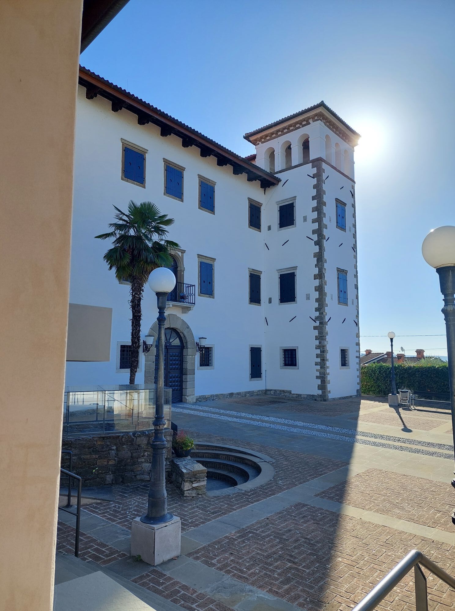
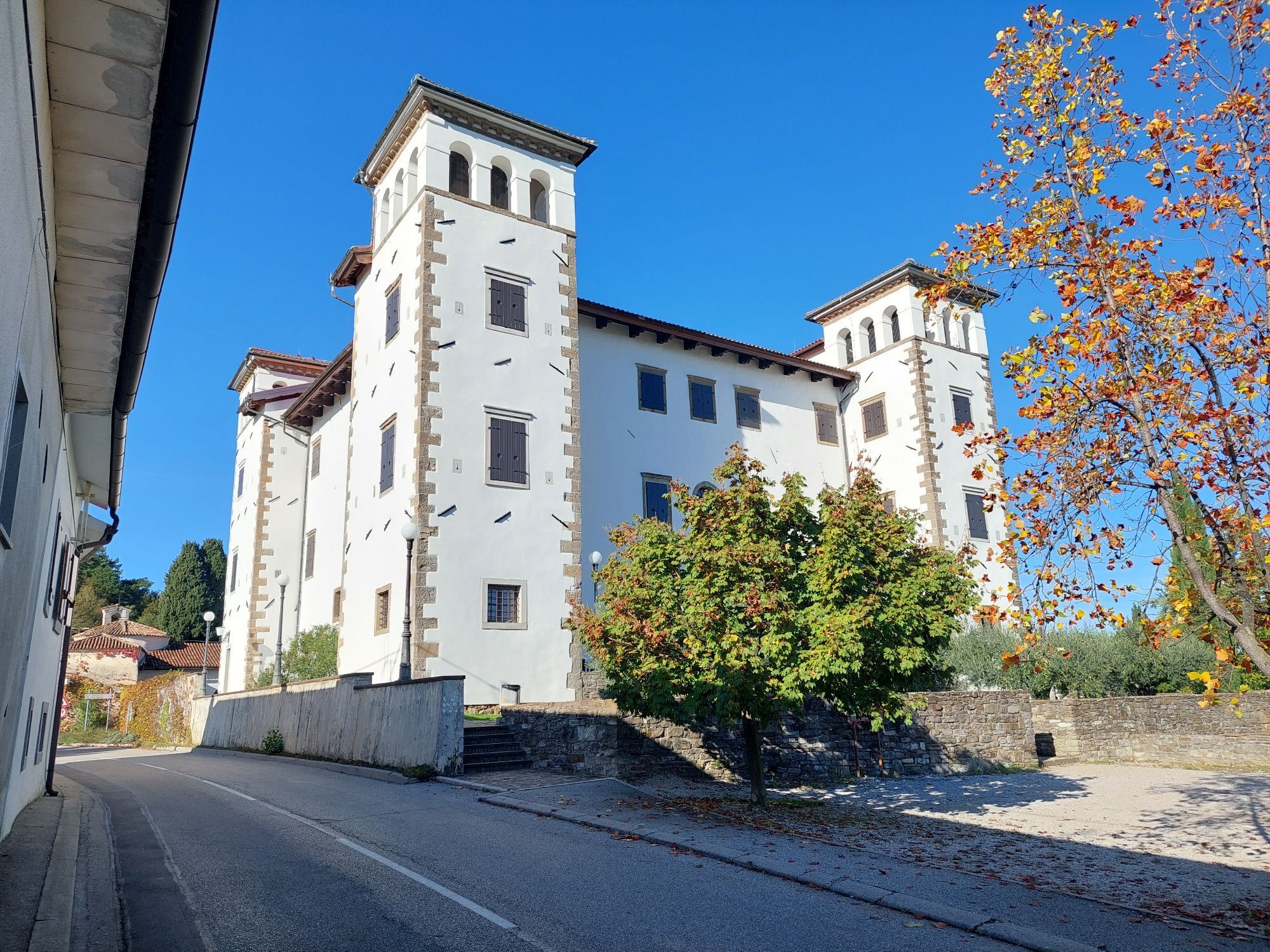
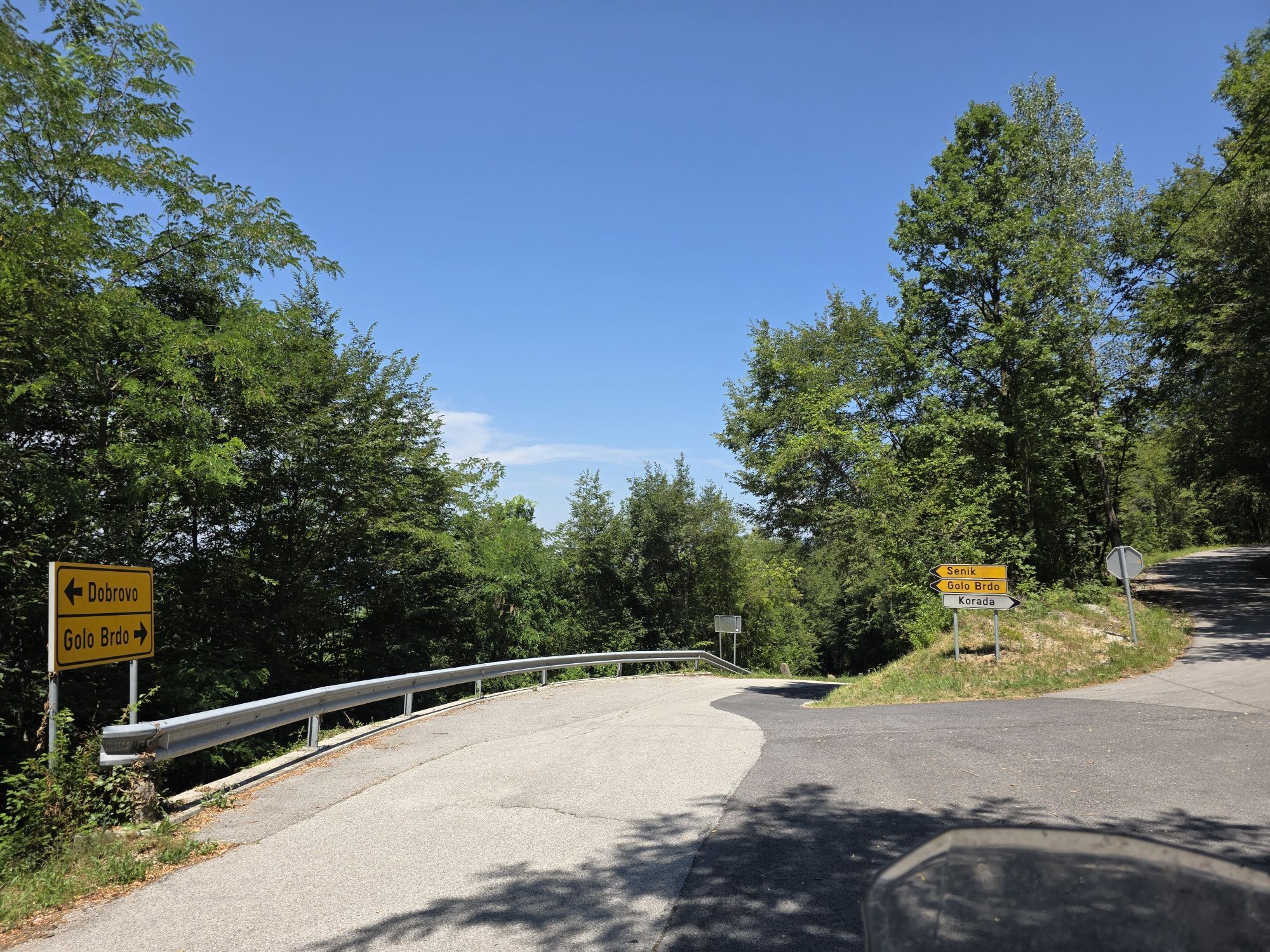

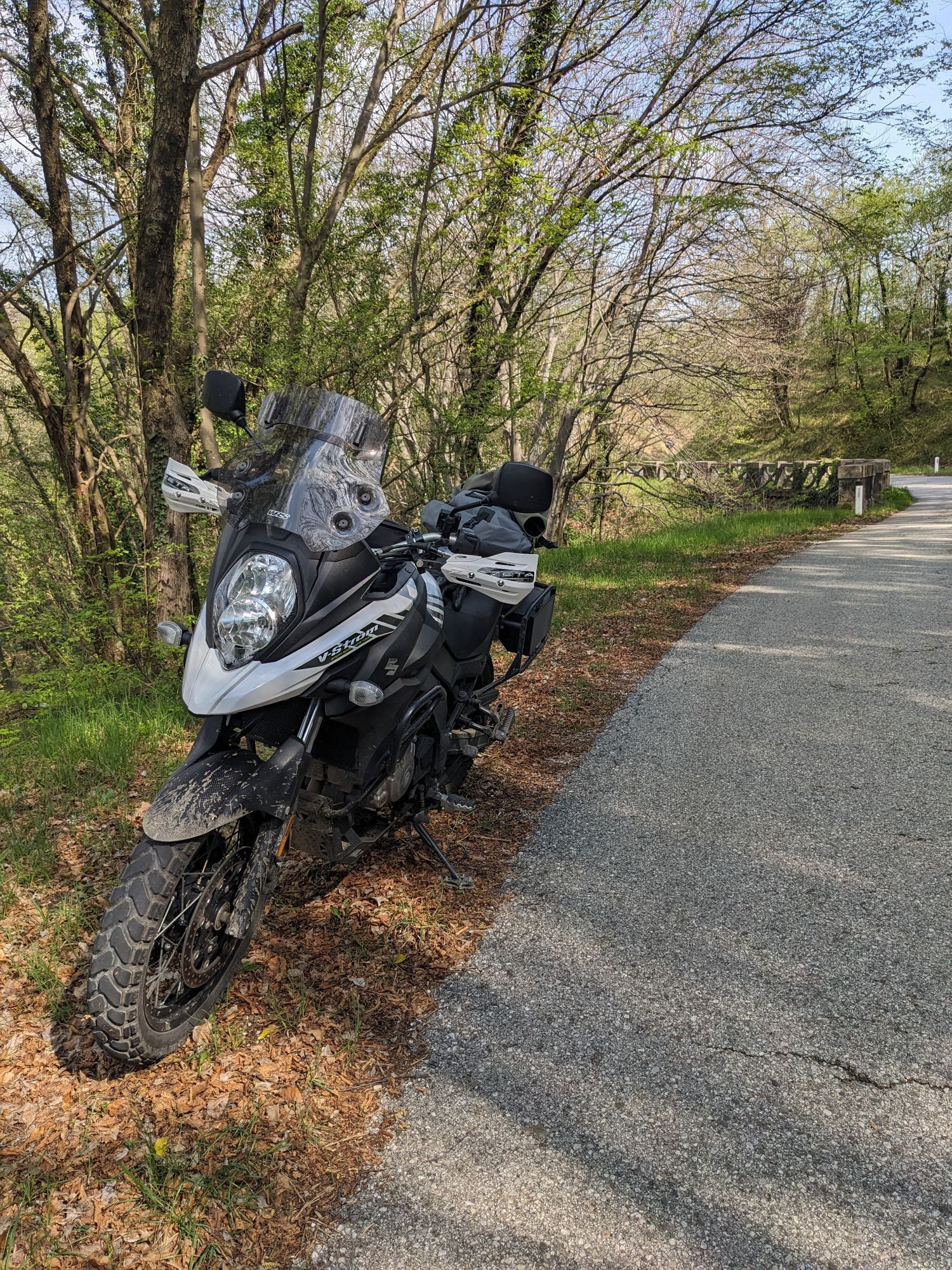
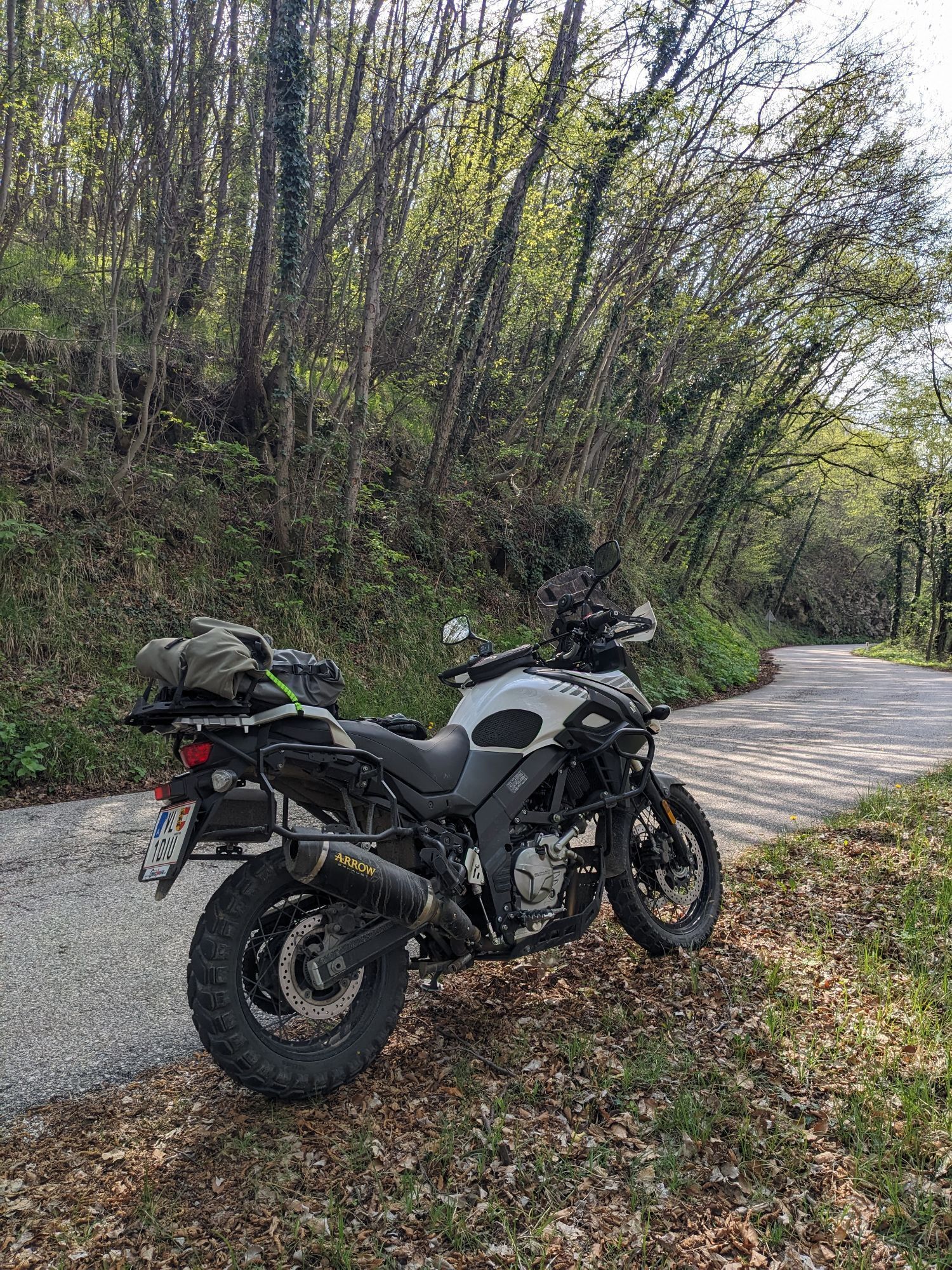
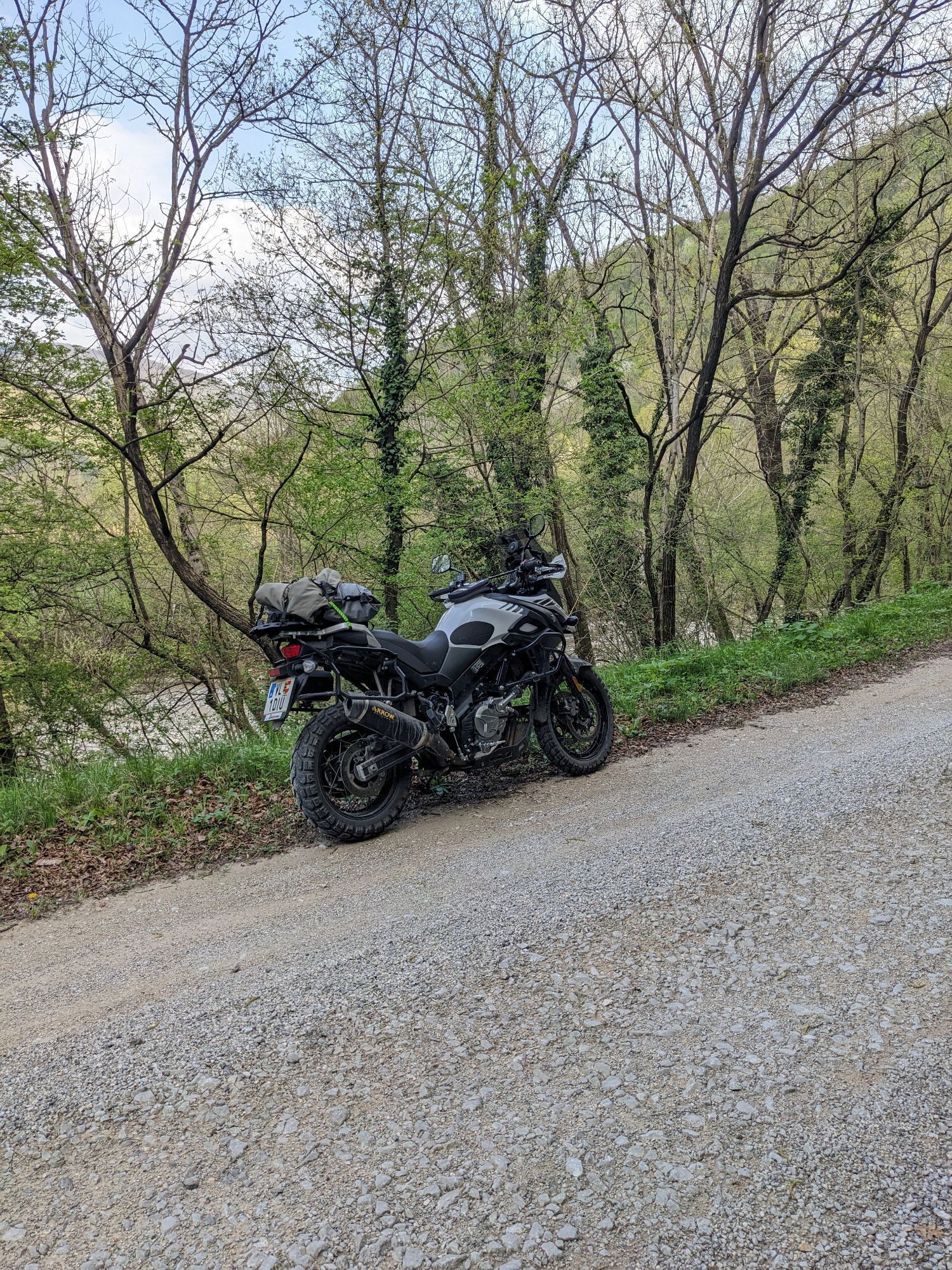
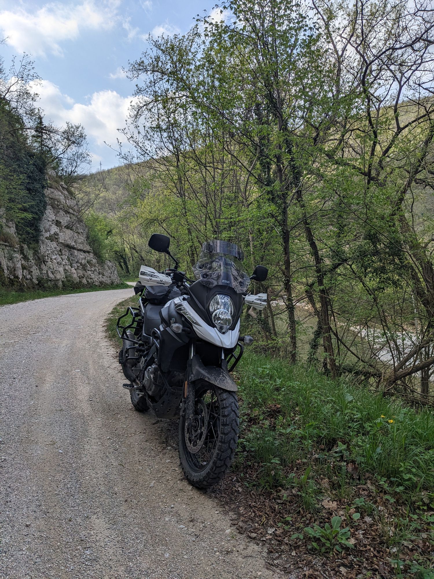

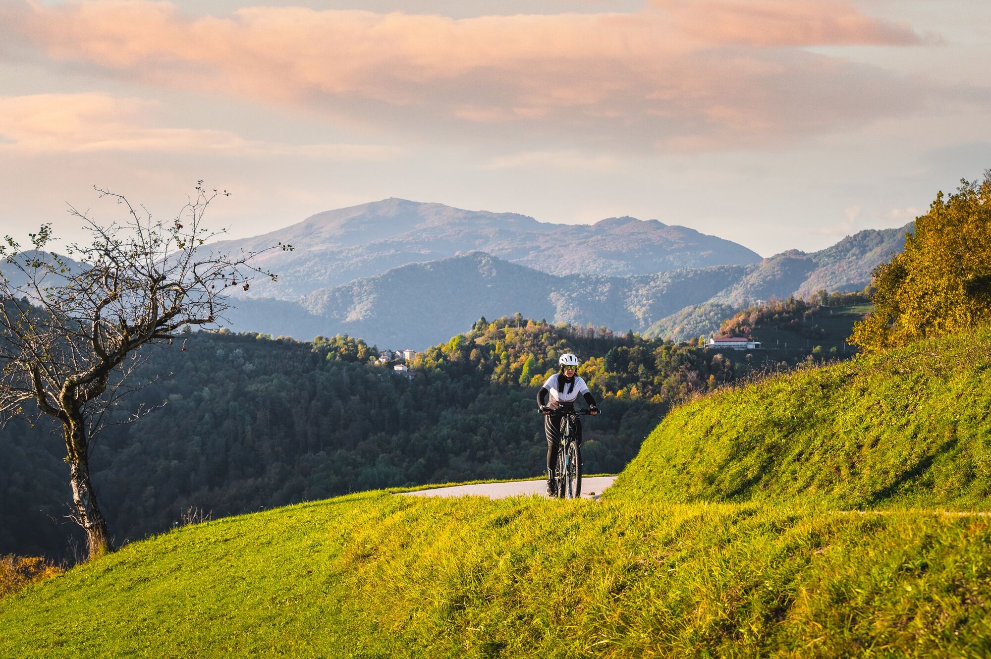
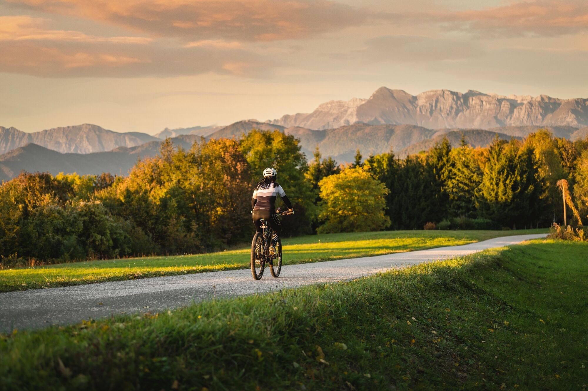
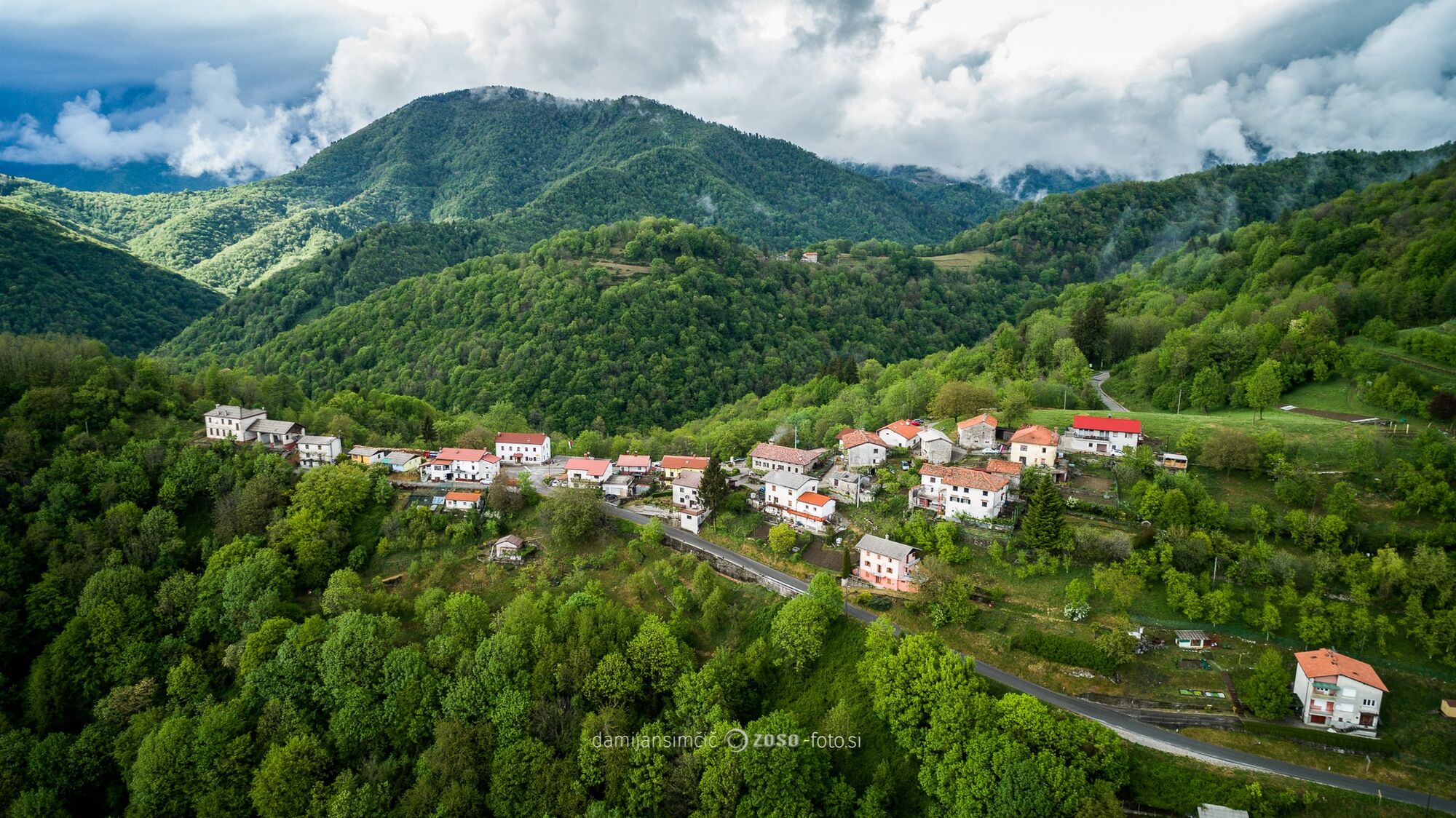
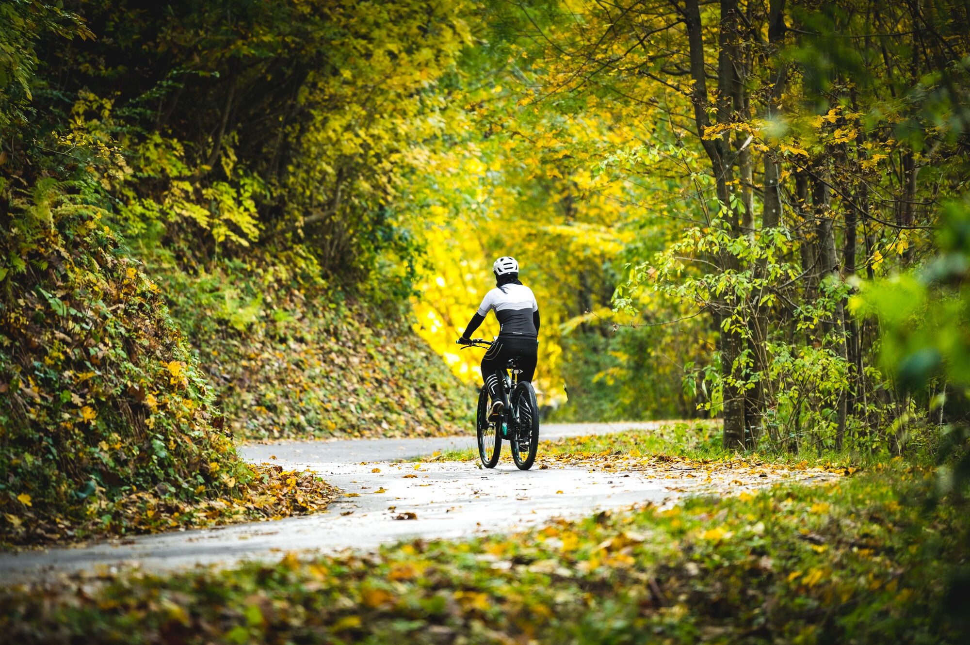
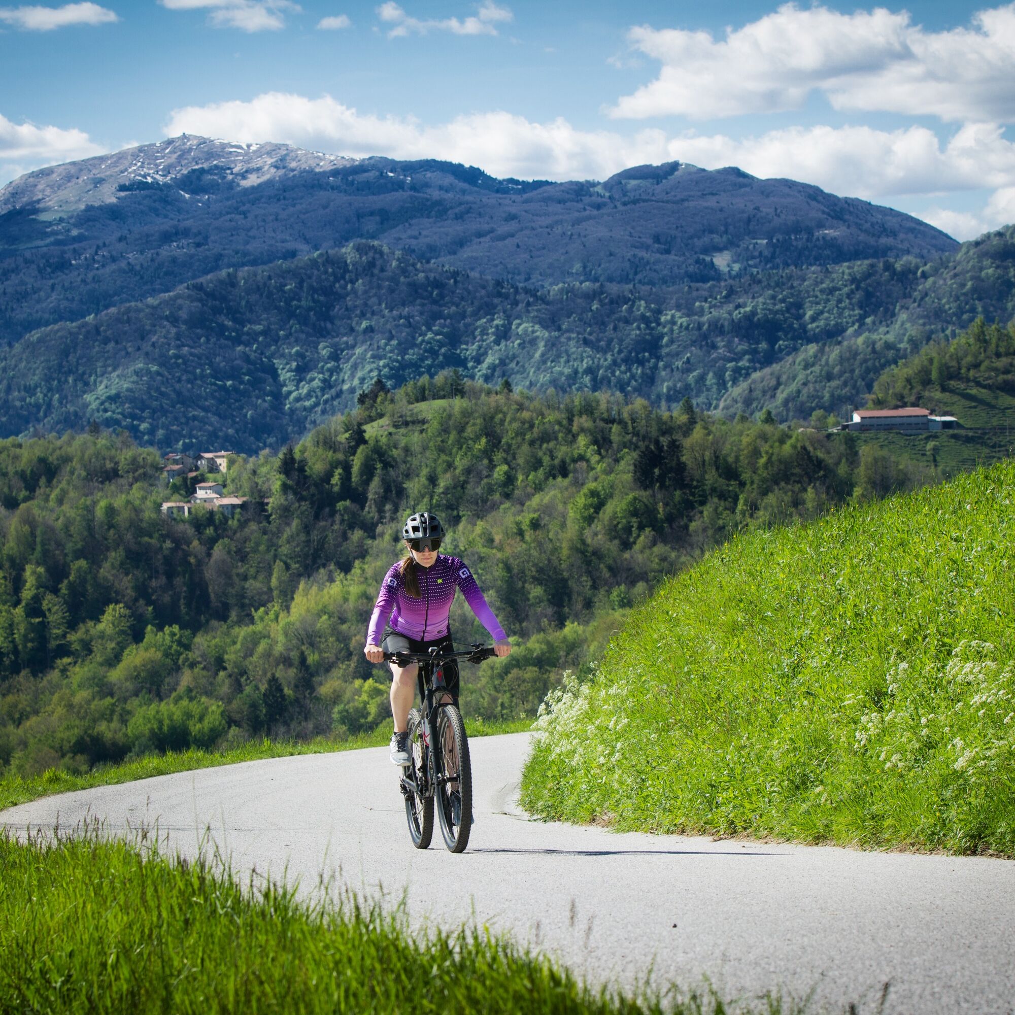
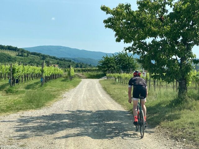
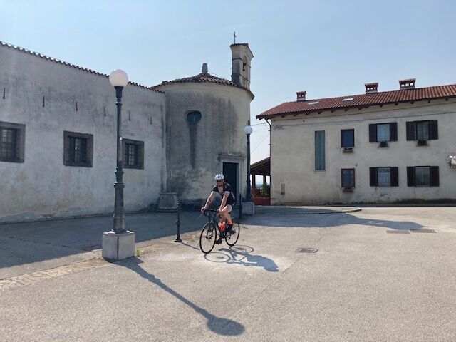
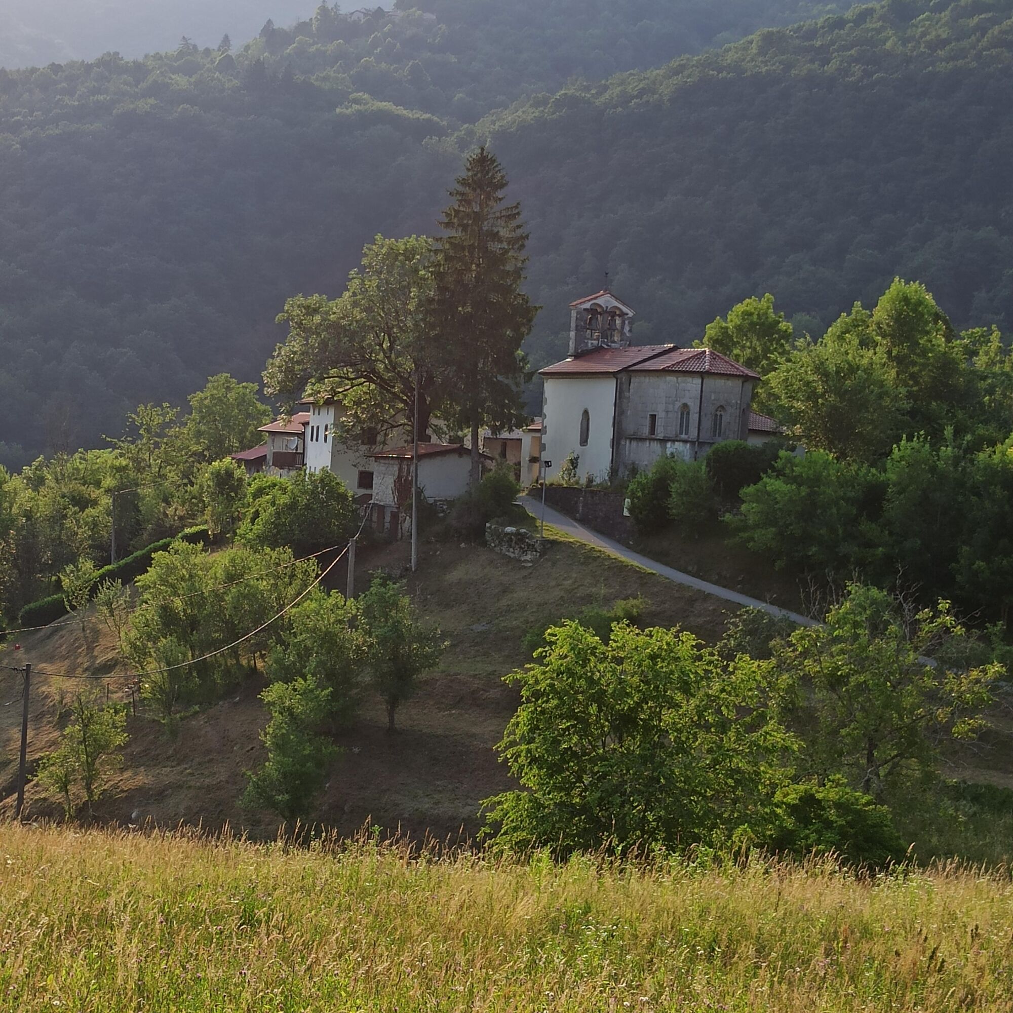
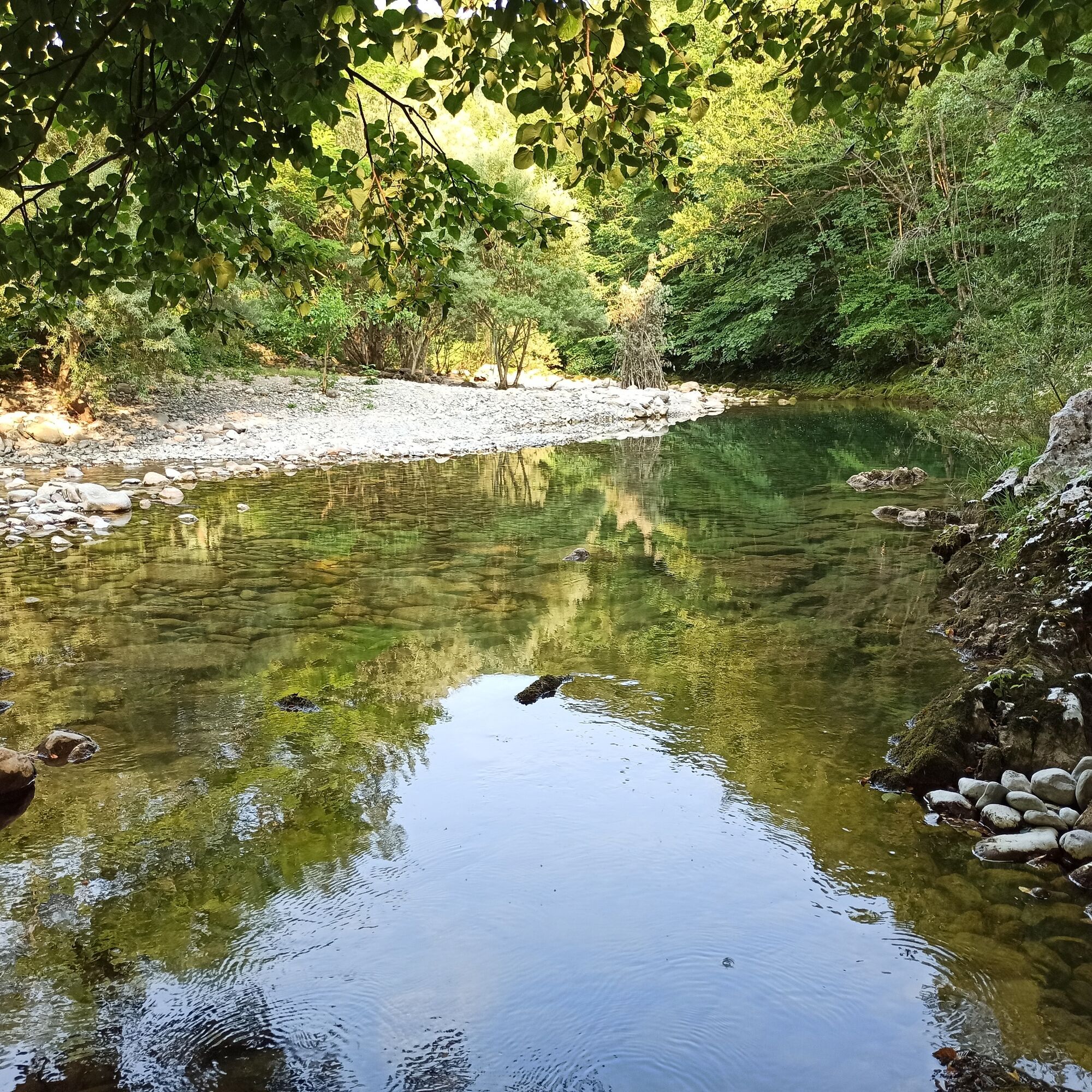
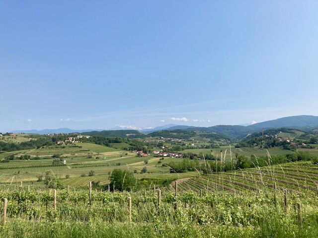
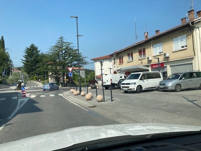

In Šmartno, we wind out of the alleys of the old village and drive from the parking area onto the main road. We turn sharply right towards Dobrovo. In the middle of Dobrovo, we go straight uphill at the roundabout, after 200 meters arriving at Dobrovo Castle. Just past it, we turn right past the castle entrance and at the end of the building turn left onto a narrow asphalt road. When it soon starts descending, we turn sharply right downhill and in a few minutes reach the road towards Fojana. We cross the square in the middle of Fojana to the right and continue on the road which immediately after the square turns left, heading west. After two and a half kilometers of asphalt, we need to watch for a gravel turnoff to the right. This steeply descends north through vineyards; below, we continue along the path to the pump station visible ahead. When we reach asphalt, we turn left and ride 700 meters, then turn right into a climb. Alternating between asphalt and gravel, we sensibly follow the direction more or less straight ahead towards the church of Saint Marjeta. At this part, a map view is useful as the hills are crisscrossed with roads and tracks. Below Saint Marjeta, we sharply turn right and past the church tackle a steep but just 300 m long climb on a worse track, continuing at the top in the same direction. After one and a half kilometers of slight descent, we return to asphalt, where we continue the route straight uphill. We face a 5 km steady climb and a fast descent to Golo Brdo. On this section, we follow signposts for Golo Brdo. We have descended to Idrija. In Golo Brdo, we turn sharply right towards north and soon after the village leave asphalt for gravel. On the only road, we continue along the left bank of the Idrija ascending to the village of Britof. We continue on asphalt as the road turns into a climb. In five kilometers, we will overcome 450 meters of elevation to Lig. Upon reaching the main road, we turn right and at the end of the village sharply right again towards the pilgrimage church Marijino Celje. Signposts will also help us. After visiting the church with two bell towers, we continue north below its wall. Here we join the route Goriška Brda I1 and can continue the route to Tolmin (Soča Valley) or back to Šmartno (Goriška Brda).
Technically flawless bike (road, gravel, XC, or all-mountain)
Helmet, gloves, sunglasses
Food and drink from the backpack
Spare inner tube, pump, multitool, first aid kit
Personal ID, health insurance card, mobile phone and/or navigation device, area map
4
Získejte přehled
Vždy živě na místě s více než 9 500 webkamerami. bergfex Jako uživatel Pro si nyní můžete zobrazit odpovídající webové kamery pro mnoho prohlídek v aplikaci prohlídky z. Můžete si tak přímo prohlédnout aktuální podmínky.
Oblíbené prohlídky v okolí
-
4.0
Rundgang von Cormons
světloTuristika 7.31 km -
4.7
Etappe 30 Alpe-Adria-Trail: Breg bei Golo Brdo - Šmartno
střednídálková pěší trasa 27.4 km -
Trasa Gorizia - Kanal (SLO) (P004)
středníCyklistika na velkou vzdálenost 22.2 km -
Collio - Brda Ring (R014)
středníCyklistika na velkou vzdálenost 60.6 km -
10 thousand steps of health FVG - SAN PIETRO AL NATISONE - route 1
světloTuristika 4.26 km -
SOČA VALLEY I6: Kanal - Most na Soči
středníJízda na kole 14.5 km -
5.0
Trasa údolími Natisone (Cividale - Stupizza) (P006)
středníCyklistika na velkou vzdálenost 20.5 km -
Cividale del Friuli - Gorizia (C304)
středníCyklistika na velkou vzdálenost 39.4 km -
FVG3d - varianta Vineyard (C3V1)
středníCyklistika na velkou vzdálenost 57.0 km -
Stezka Vigne Alte: kompletní smyčka s Pradisem, Spessou a Subidou
středníTuristika 14.0 km
Pěší turistika a stopování


Nenechte si ujít nabídky a inspiraci pro vaši příští dovolenou
Vaše e-mailová adresa byl přidán do poštovního seznamu.





