






JULIANA BIKE - stage 5: Tolmin - Zakojca
Úroveň obtížnosti: 3
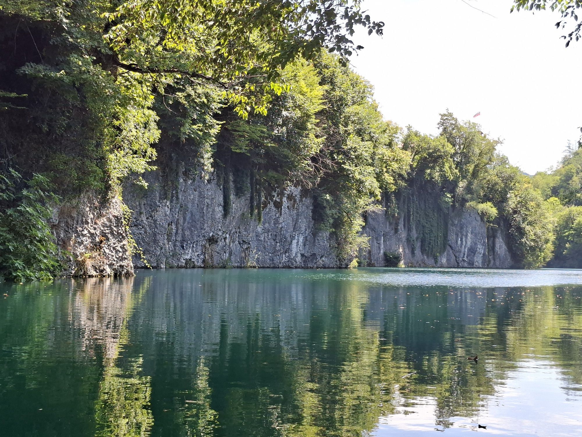
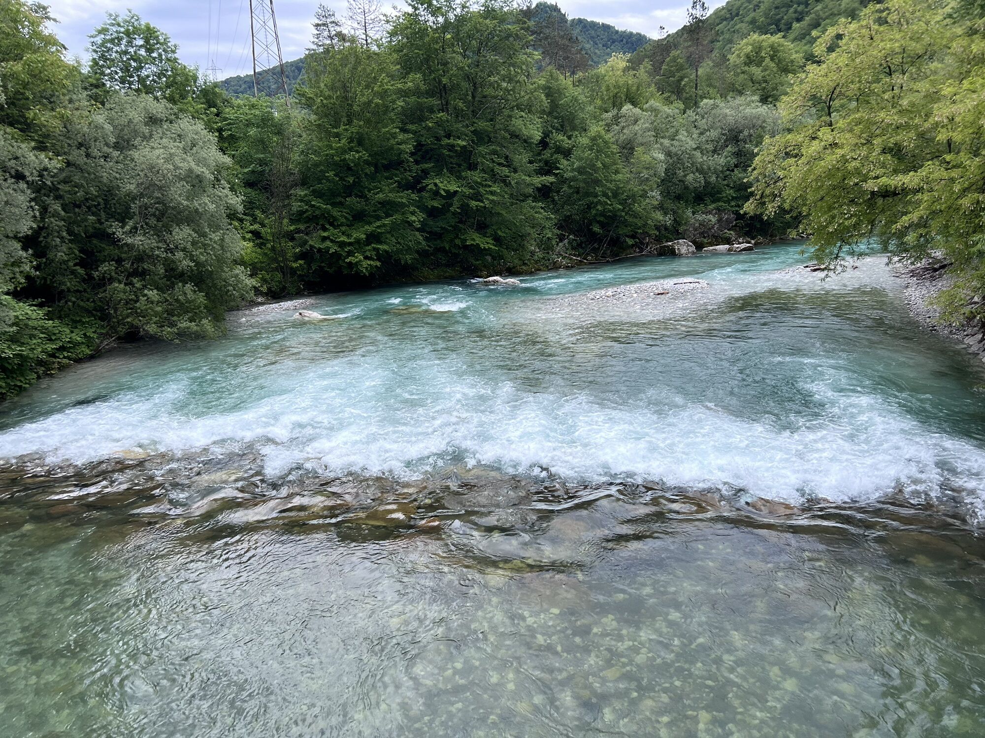
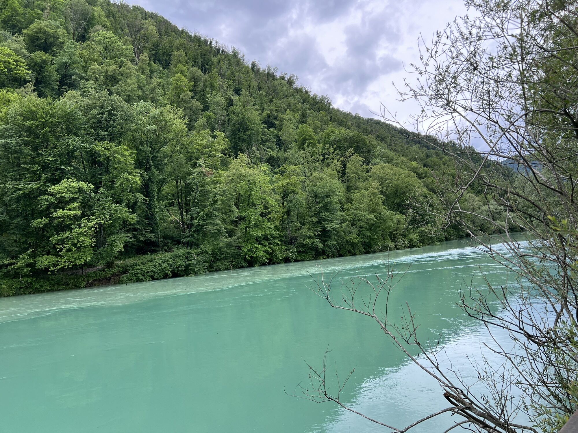
Initially along the Soča to Most na Soči, then along the Idrijca to Idrija pri Bači, and then uphill to the Šentviška plateau and Zakojca. The Šentviška plateau is a wonderful remote world between the...
Initially along the Soča to Most na Soči, then along the Idrijca to Idrija pri Bači, and then uphill to the Šentviška plateau and Zakojca. The Šentviška plateau is a wonderful remote world between the valleys of the Idrijca and Bača.

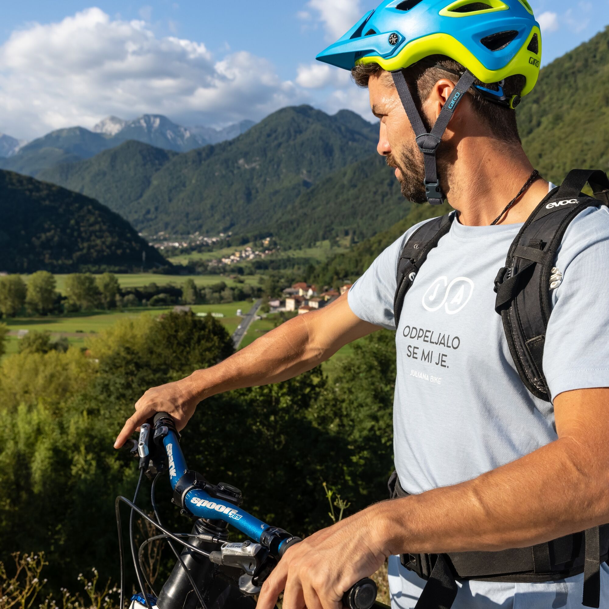
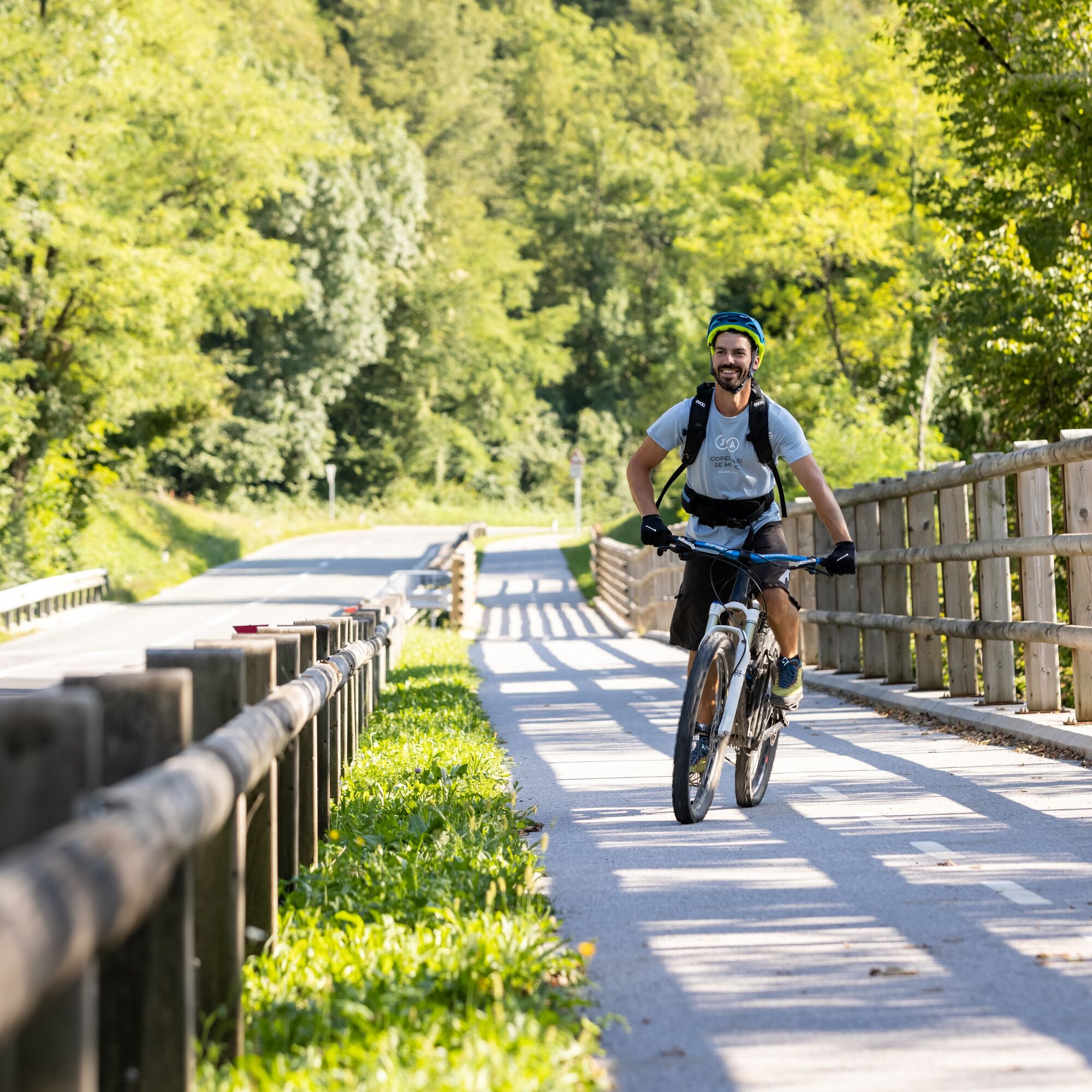
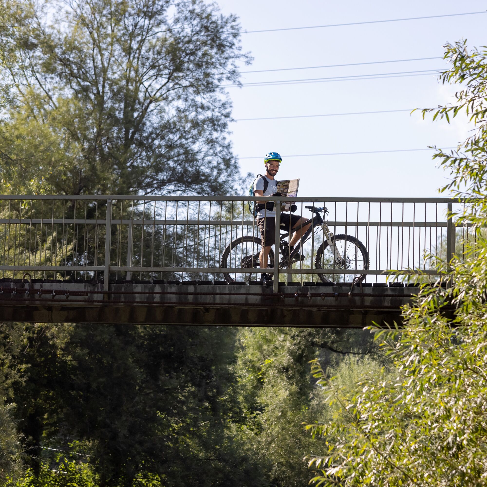
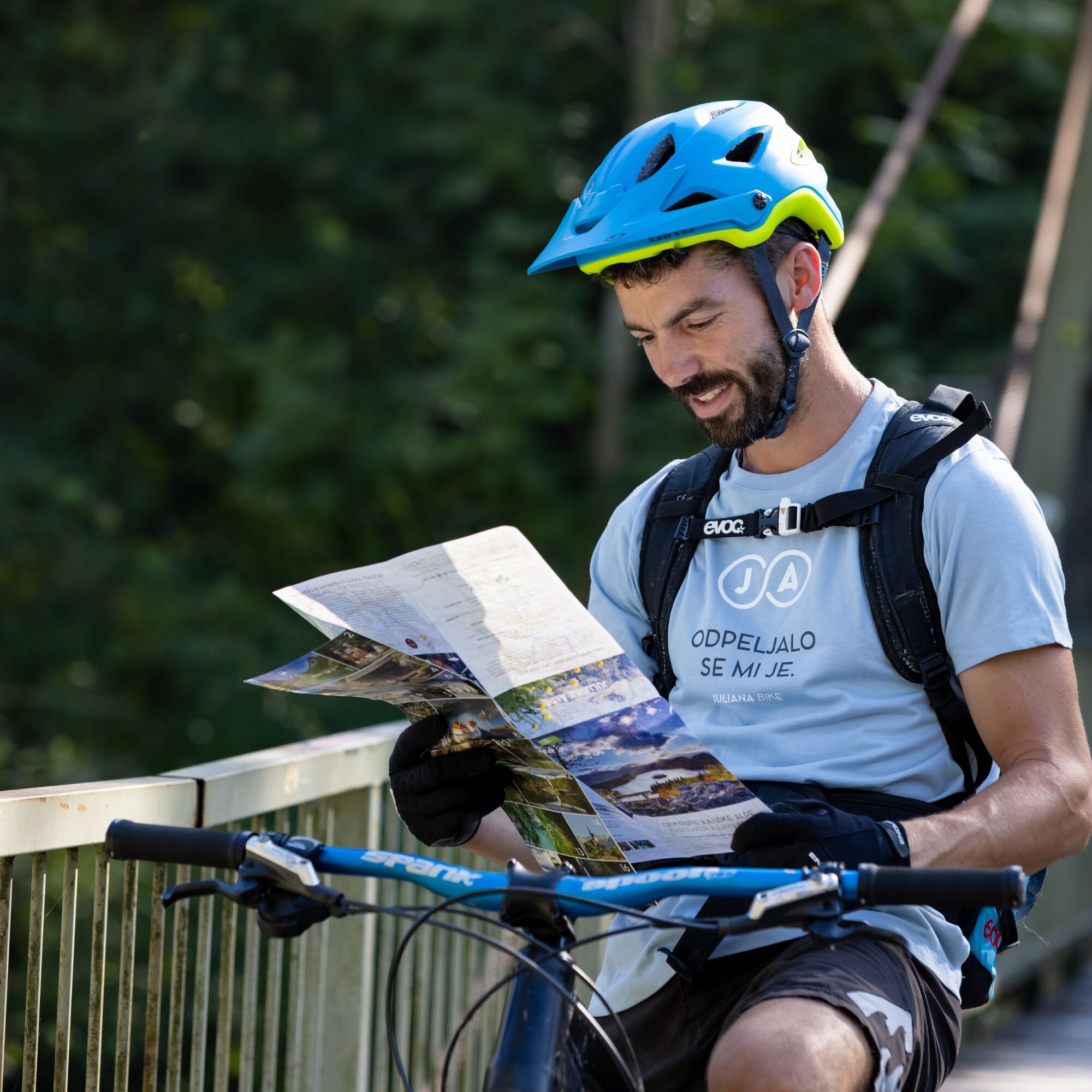
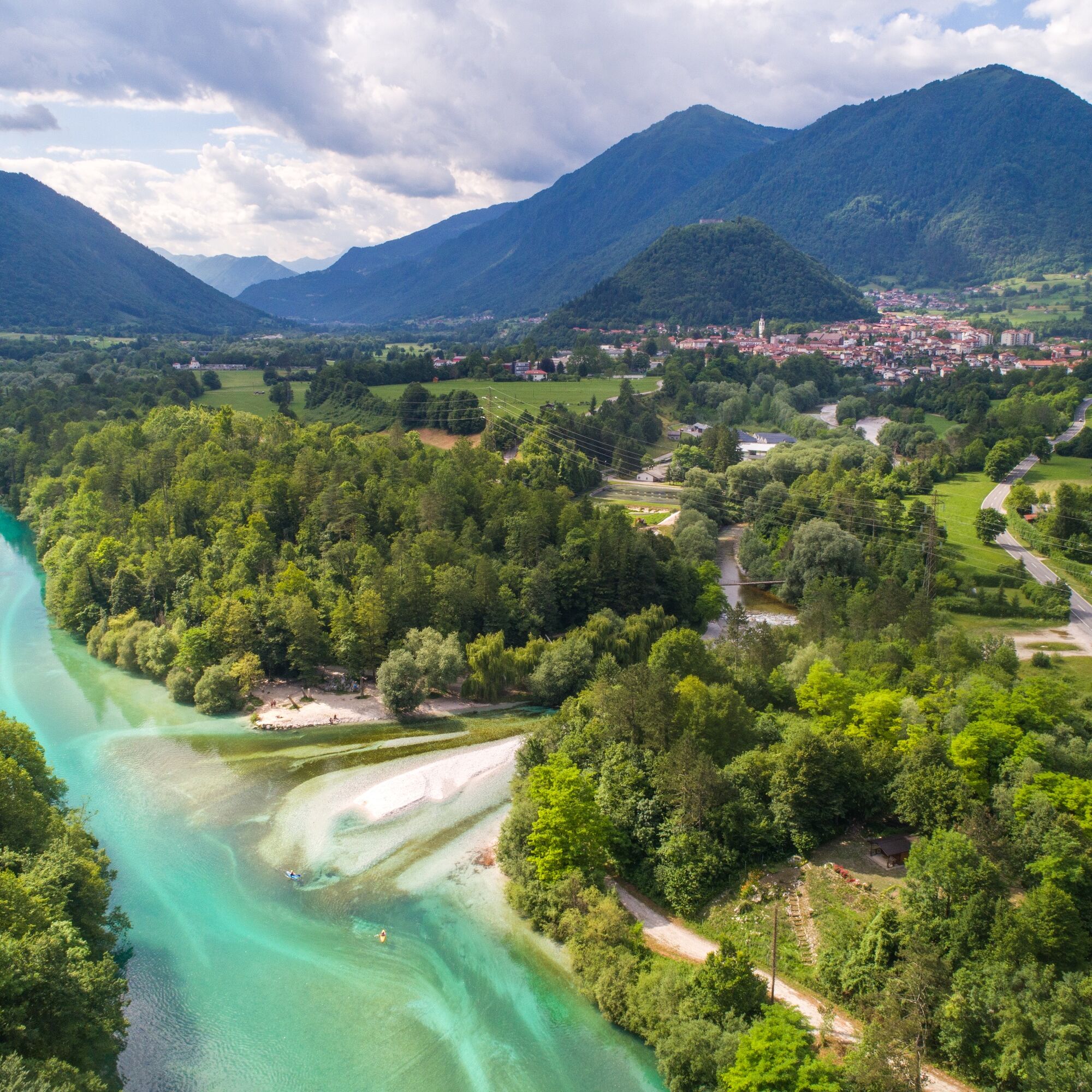
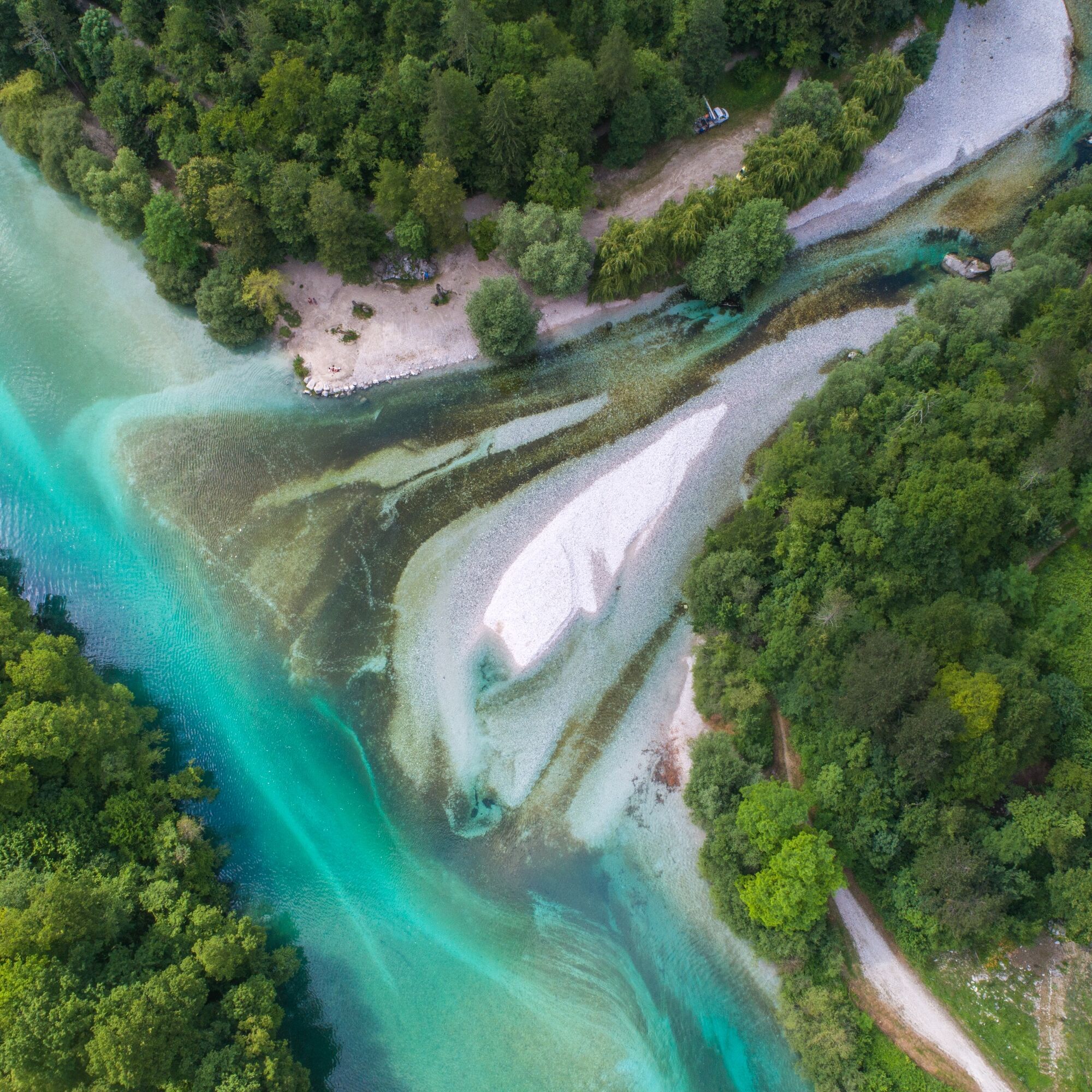
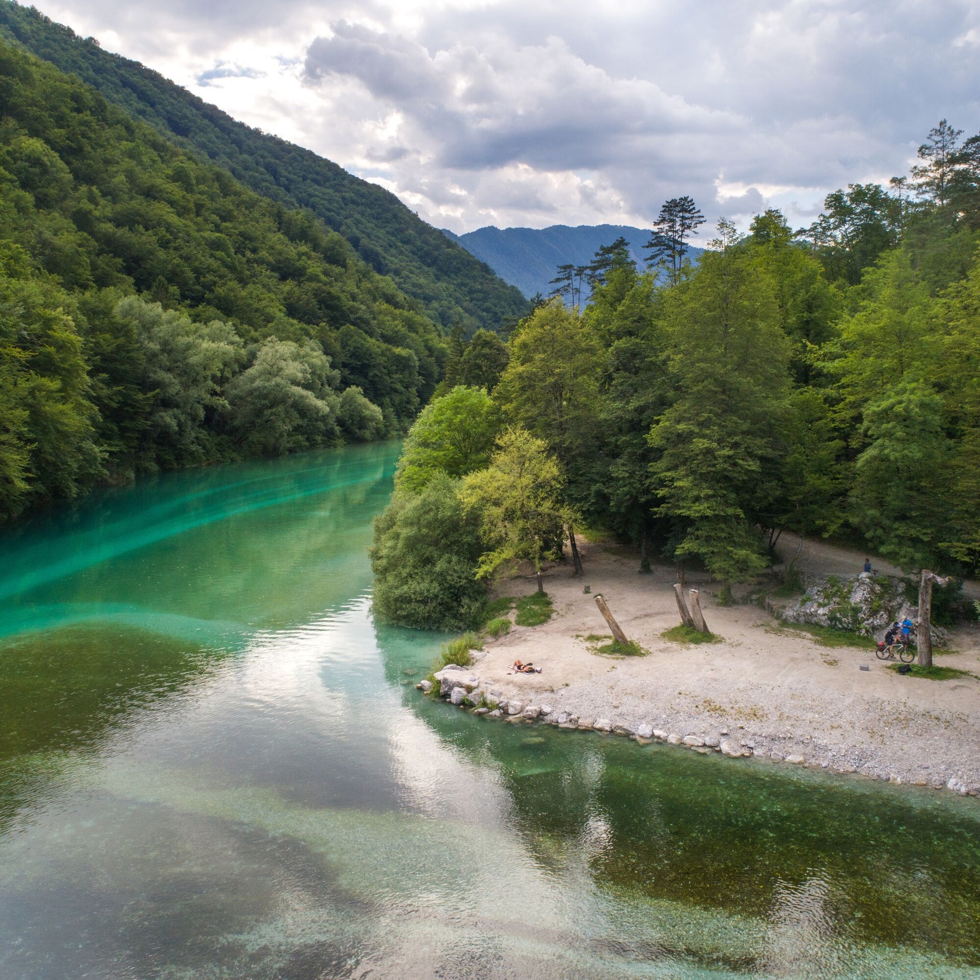
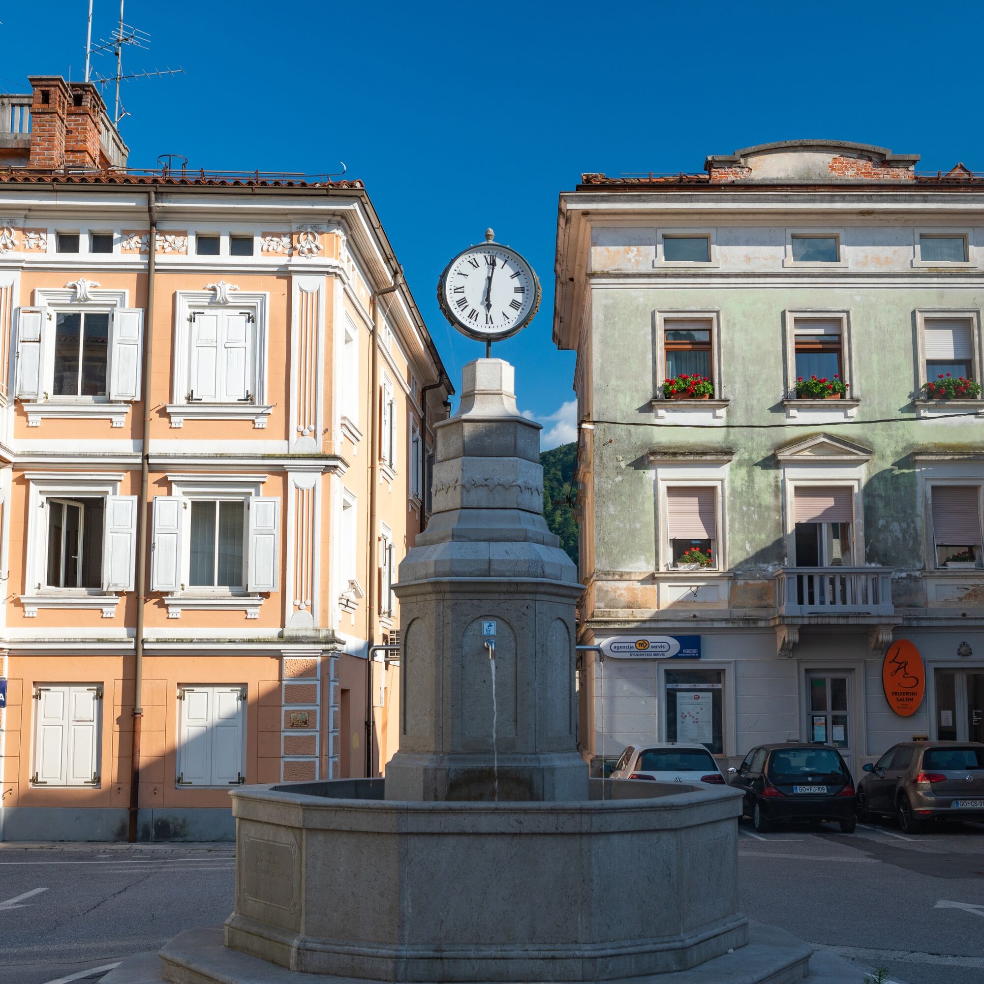
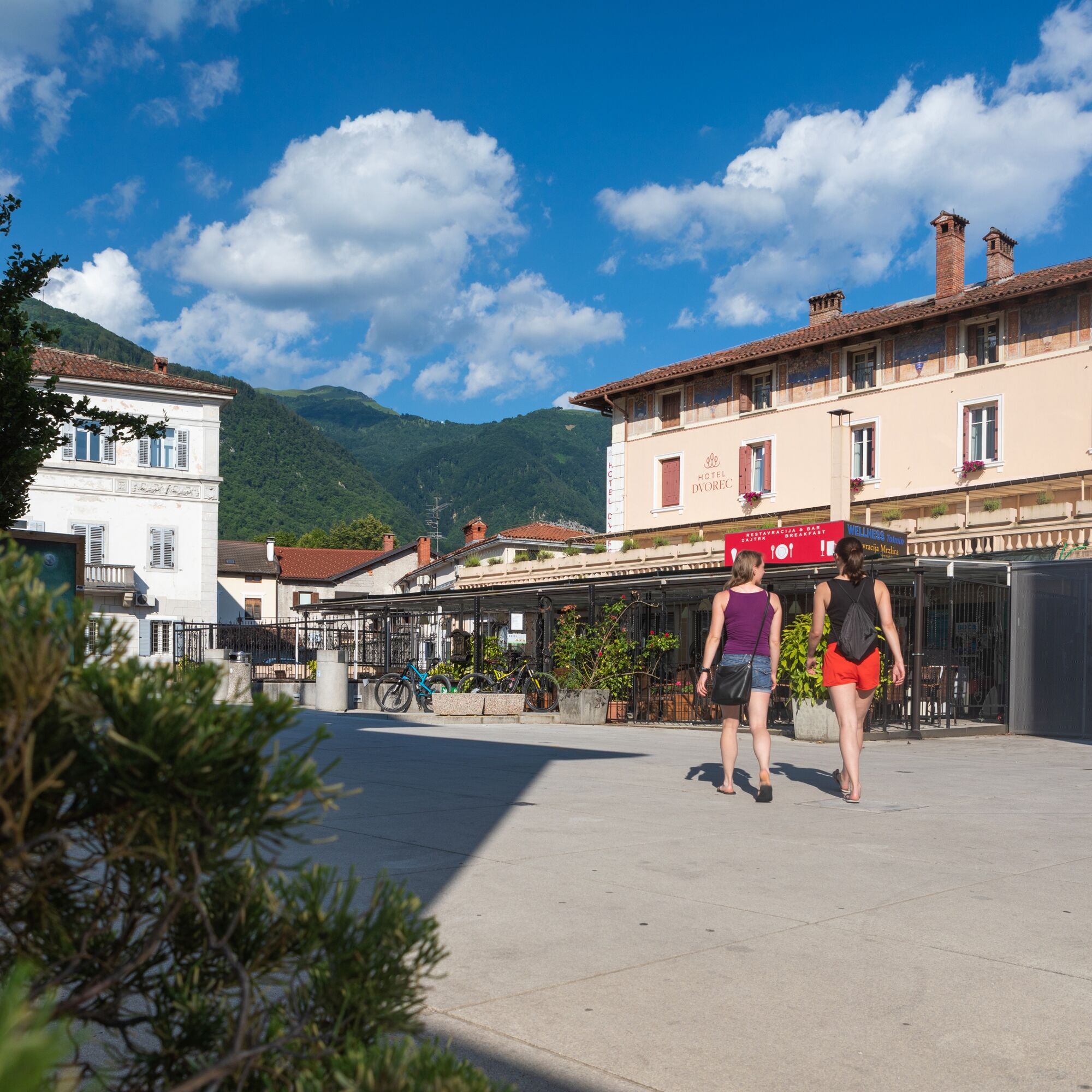
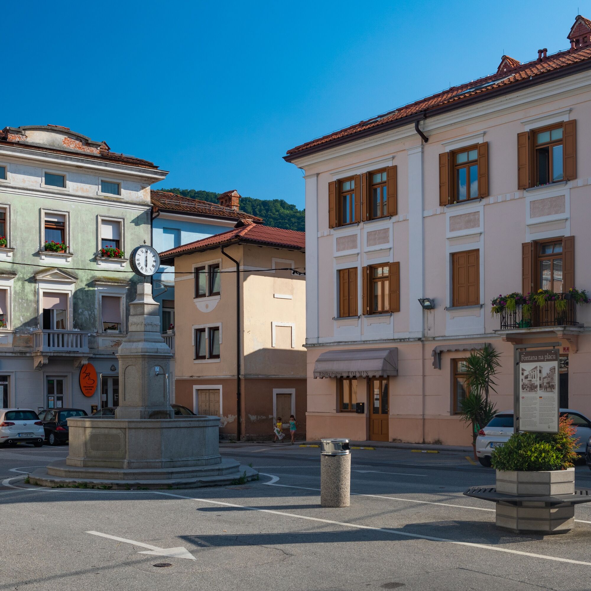
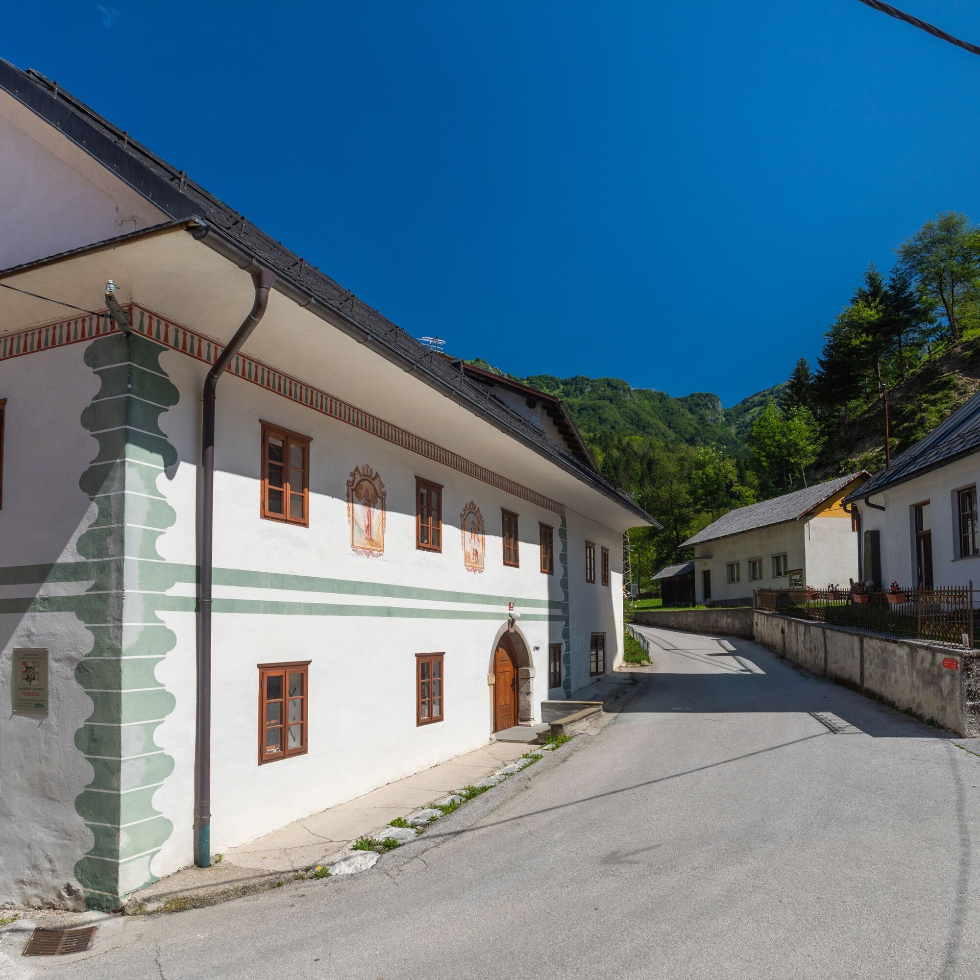

From the center of Tolmin, we descend to the confluence of the SoÄa and Tolminka rivers and continue along the SoÄa on the bike path. After the road tunnel, turn left uphill towards Modrej and then right towards Most na SoÄi. A view opens up to the lake, and a little further stands a monument to the writer Ivan Pregelj. We descend into Most na SoÄi, which is worth visiting.
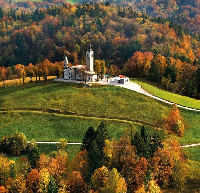
Continue along the left bank of the Idrijca, past the railway station to the Zlata Ribica hotel. Cross the Idrijca and in the village of Idrija pri BaÄi turn left, then at the northern end of the village turn right uphill towards the Šentviška plateau. The serpentine road ends in Ponikve, the largest settlement on the plateau, where it is worth visiting the parish church of the Visitation of Mary, renovated by the architect Jože PleÄnik. From Ponikve, we gradually climb to Ärvov vrh, an exceptional viewpoint, with Baška gorge deep below us and above it the range of the Tolmin-Bohinj mountains.
Continue through Bukovski vrh and along the northern slopes of Kojca to Zakojca to the tourist farm Pri Flandru.
Ano
A gravel or mountain bike, gloves and helmet, first aid, clothing for protection against wind and cold.
The path is steep in some places, so be careful when descending
3
TICs
recommended accommodations
Allow time to visit the Church of the Visitation of Mary
In Tolmin or Most na Soči stock up on snacks for the trip.
Railway station in Most na Soči, connection towards Podbrdo and Bohinjska Bistrica.
The path is marked with blue signposts and markings for the mountain biking trail. We recommend the Triglav National Park map issued by the Alpine Association of Slovenia.
Oblíbené prohlídky v okolí
-
3.9
Tolminka Klamm
světloTuristika 1.90 km -
4.2
Kolovrat
středníMountainbike 33.0 km -
5.0
JULIANA TRAIL - stage 12: Tolmin – Kobarid
středníTuristika 17.3 km -
5.0
Planina Razor
heavyMountainbike 33.1 km -
4.7
Etappe 27 Alpe-Adria-Trail: Tolmin - Tribil Superiore
heavyTuristika 19.4 km -
4.7
Etappe 26: Alpe-Adria-Trail: Drežnica - Tolmin
heavydálková pěší trasa 22.4 km -
Kolovrat mountain loop
světloTuristika 7.51 km -
5.0
Via Alpina Slovinsko: 8. etapa (Porezen-Črna Prst)
heavydálková pěší trasa 15.4 km -
JULIANA TRAIL: stage 11 Most na Soči – Tolmin
středníTuristika 8.12 km -
SOČA VALLEY I3: Kobarid - Kolovrat - Tolmin
středníJízda na kole 28.3 km
Pěší turistika a stopování


Nenechte si ujít nabídky a inspiraci pro vaši příští dovolenou
Vaše e-mailová adresa byl přidán do poštovního seznamu.





