


Kolovrat mountain loop

The historical-naturalistic hike that runs along the eastern ridge of the Kolovrat group, on the border between Italy and Slovenia, offers a fascinating overview of the history and nature of this area,...
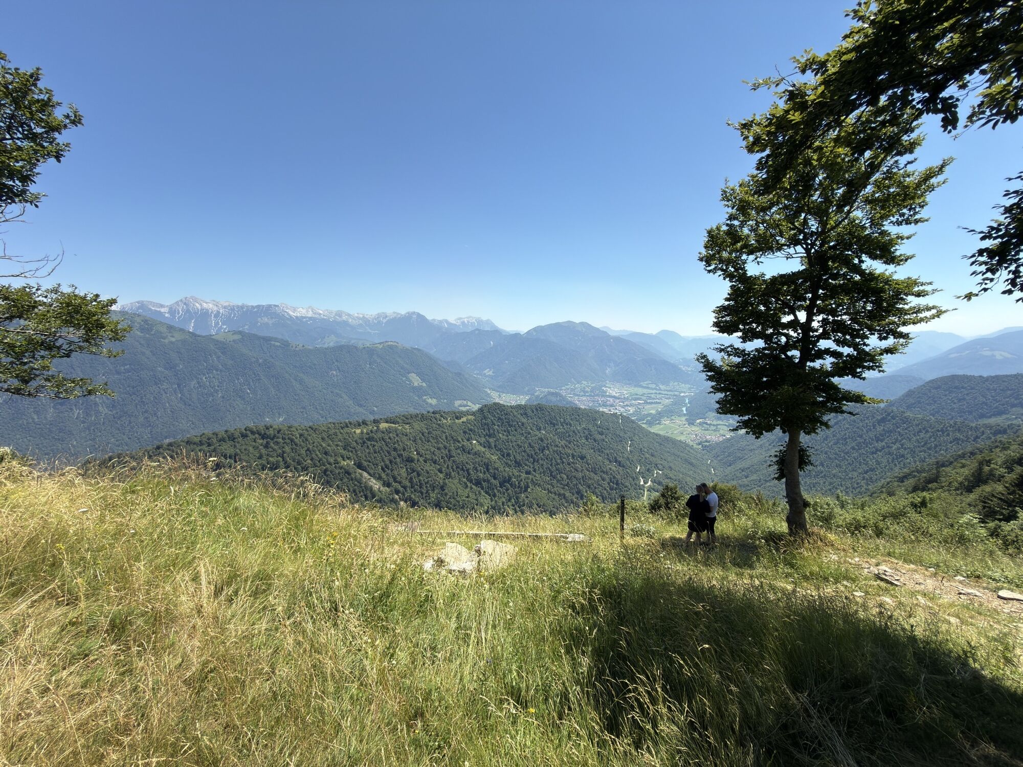
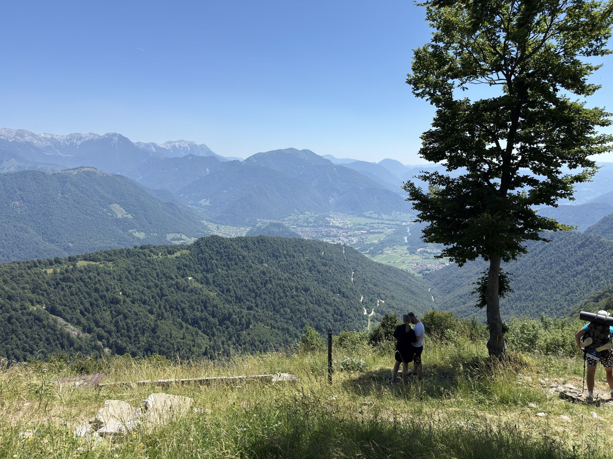
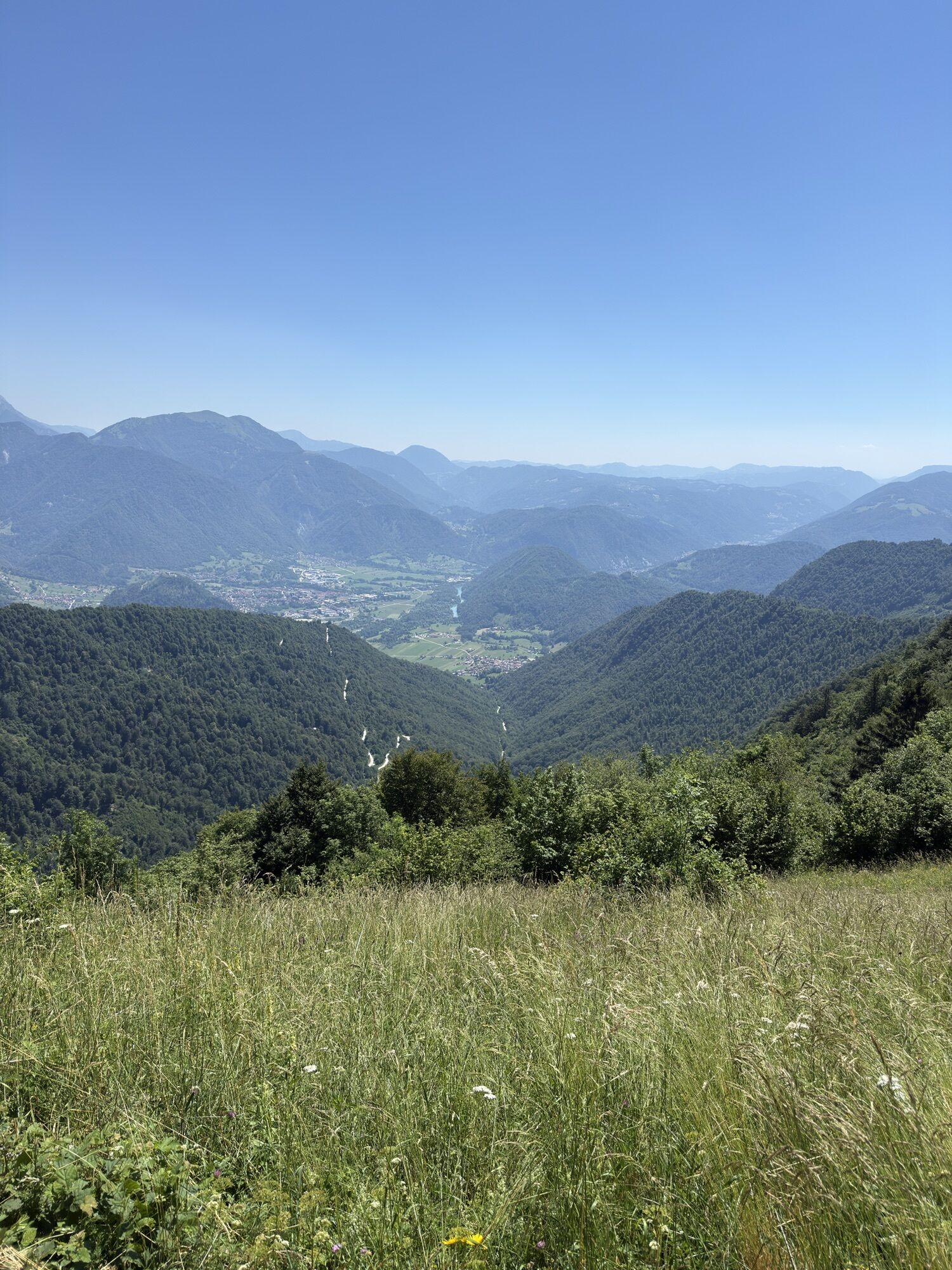
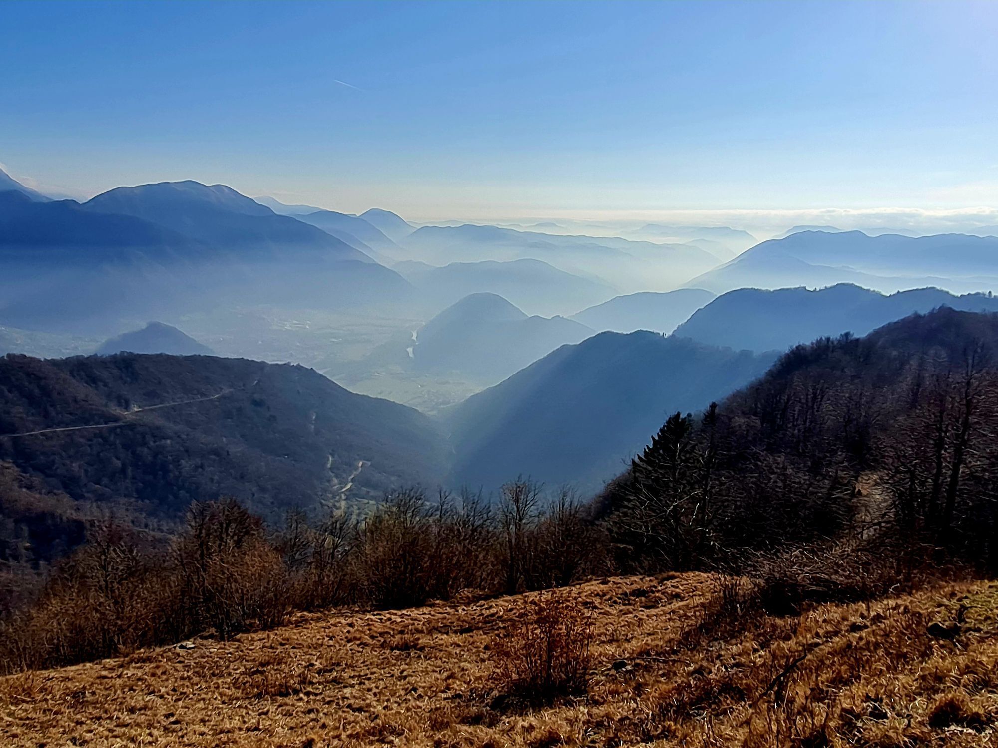
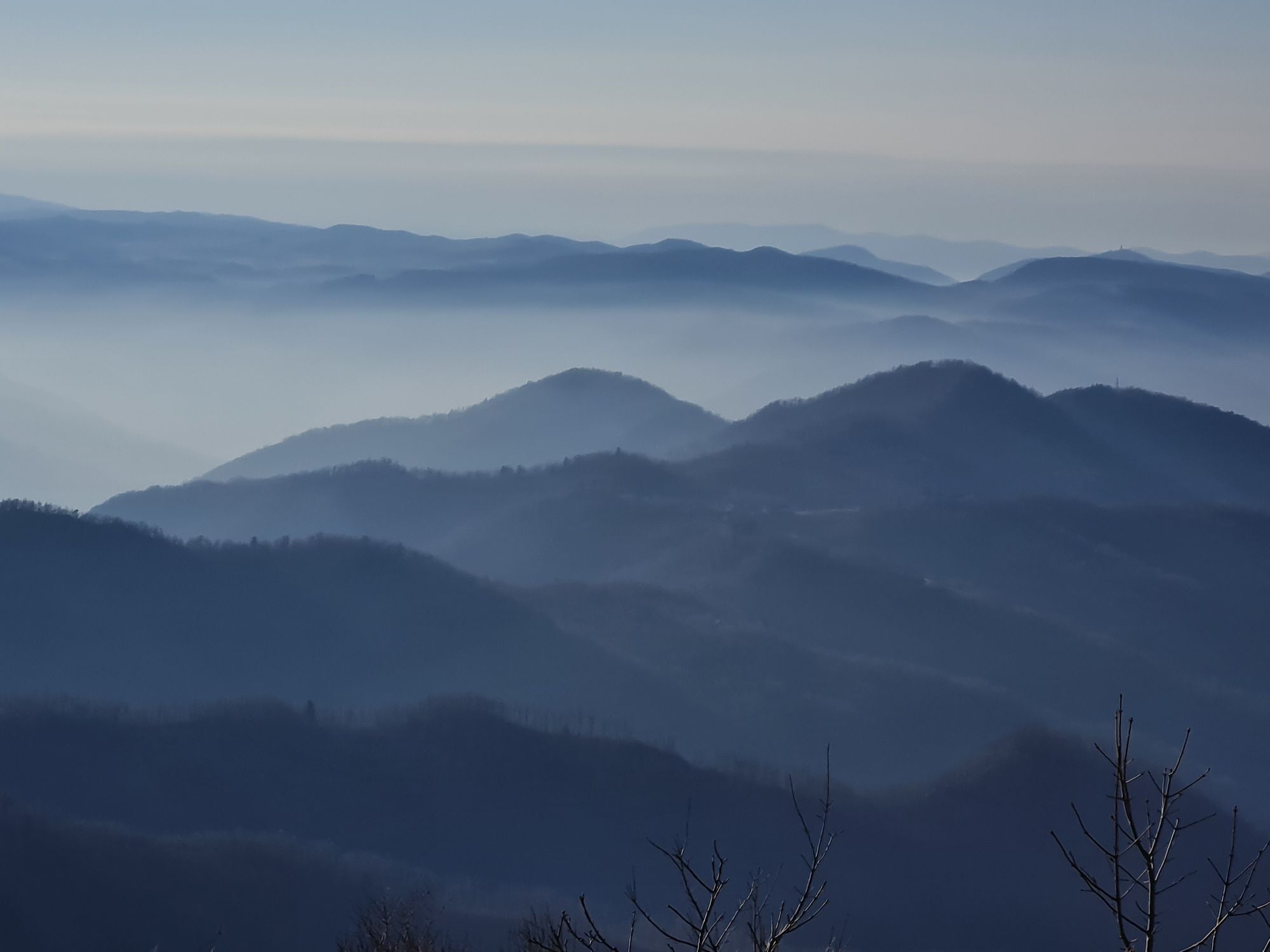
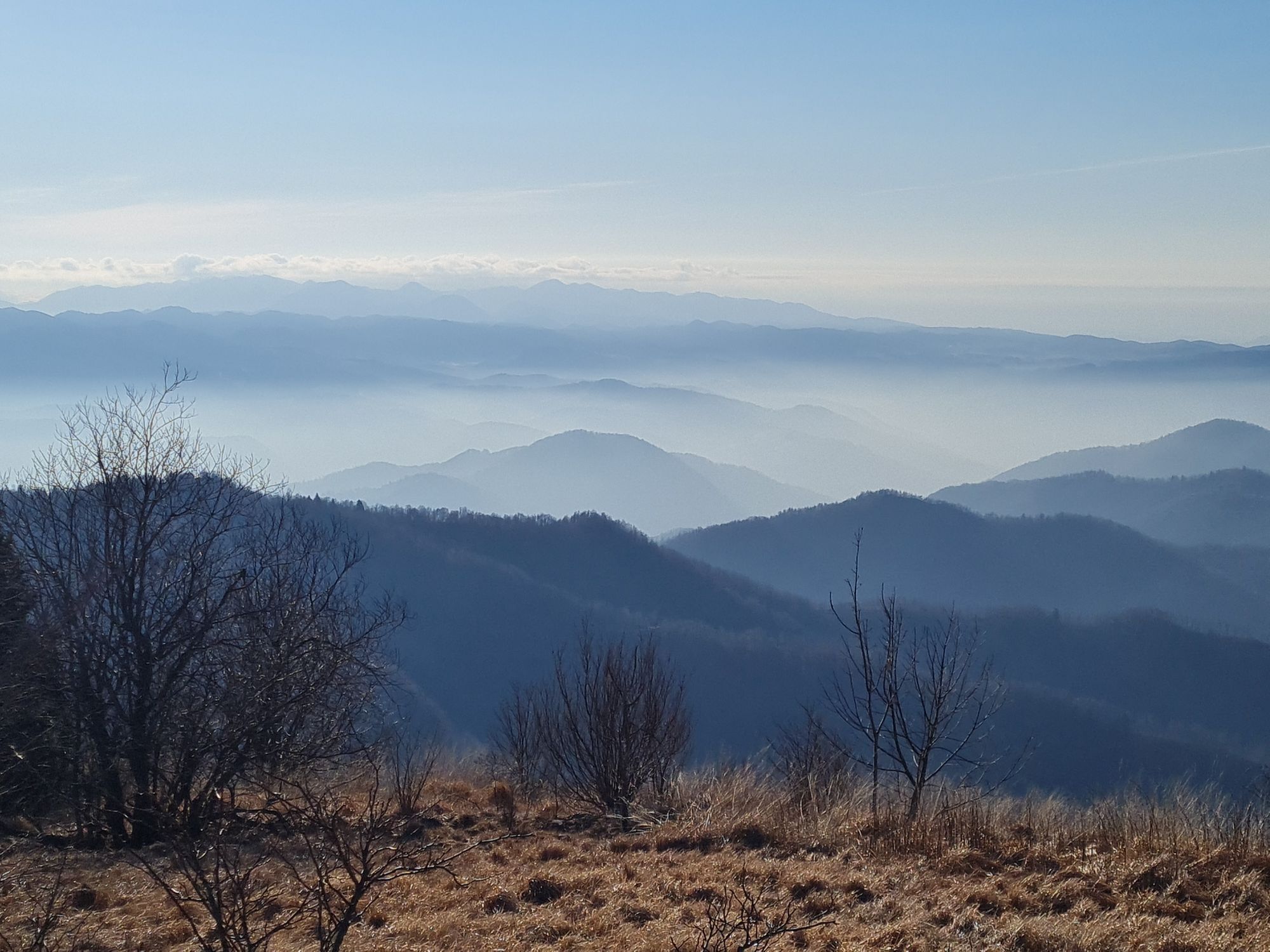
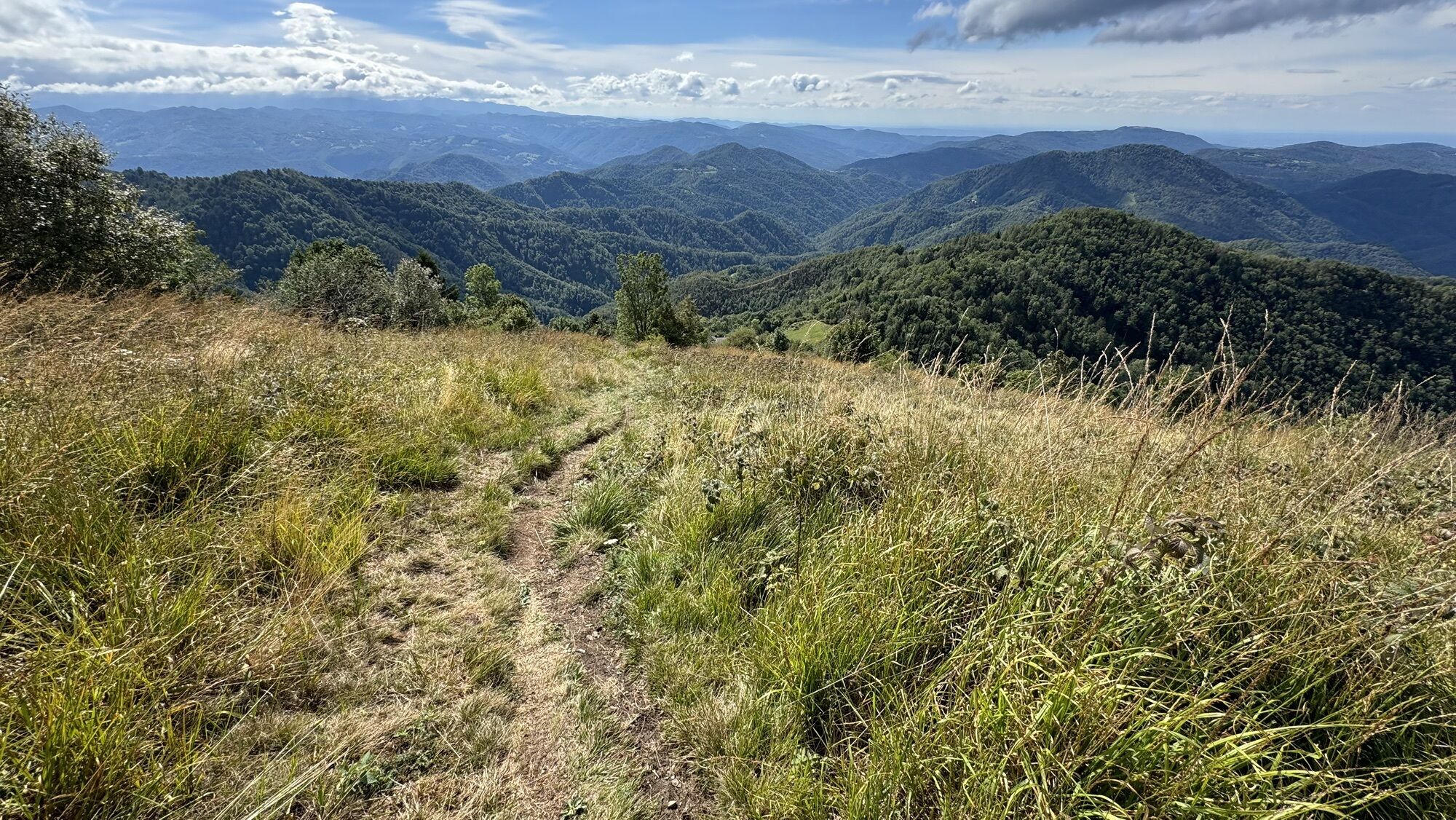
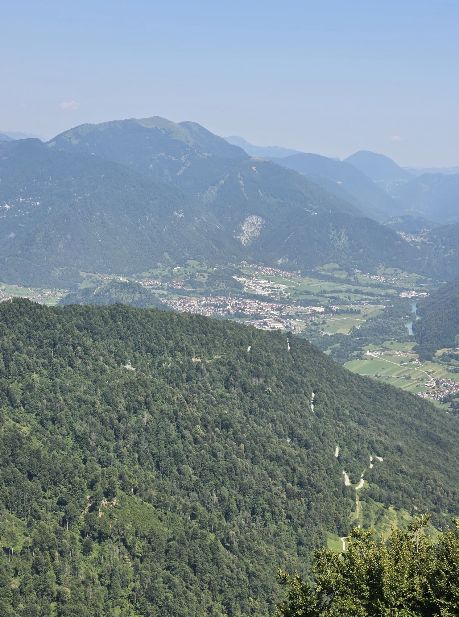
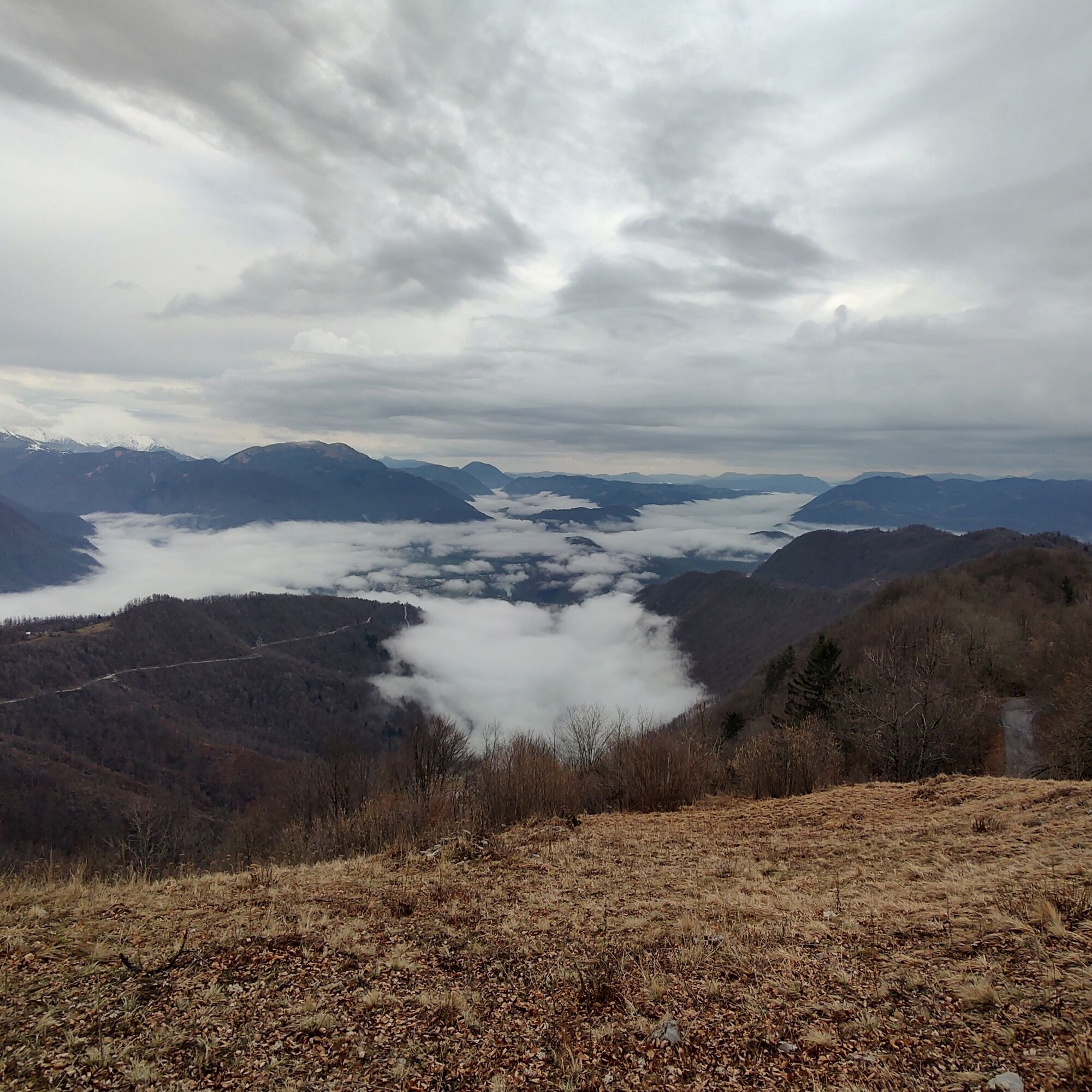
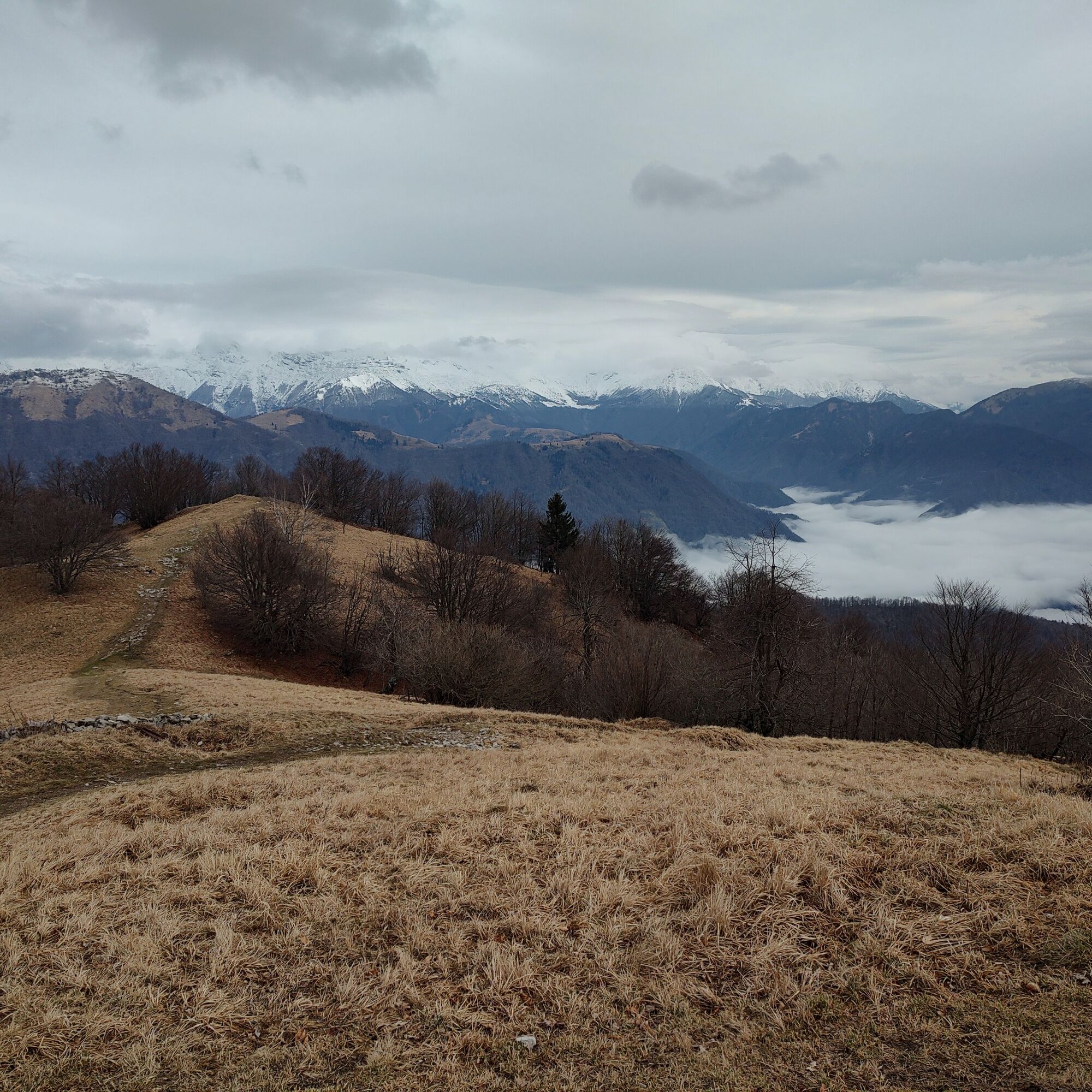
The historical-naturalistic hike that runs along the eastern ridge of the Kolovrat group, on the border between Italy and Slovenia, offers a fascinating overview of the history and nature of this area, marked by dramatic events during the First World War. This route, which develops along the three eastern peaks of the Kolovrat ridge, offers visitors an easy but evocative walk, with views over the Caporetto and Tolmino valleys.
Kolovrat is famous for being the theater of the 12th Battle of the Isonzo, a crucial conflict in Italian history, with a symbolic episode: the retreat of the Italian Army at Caporetto, where a third line of defense was established.
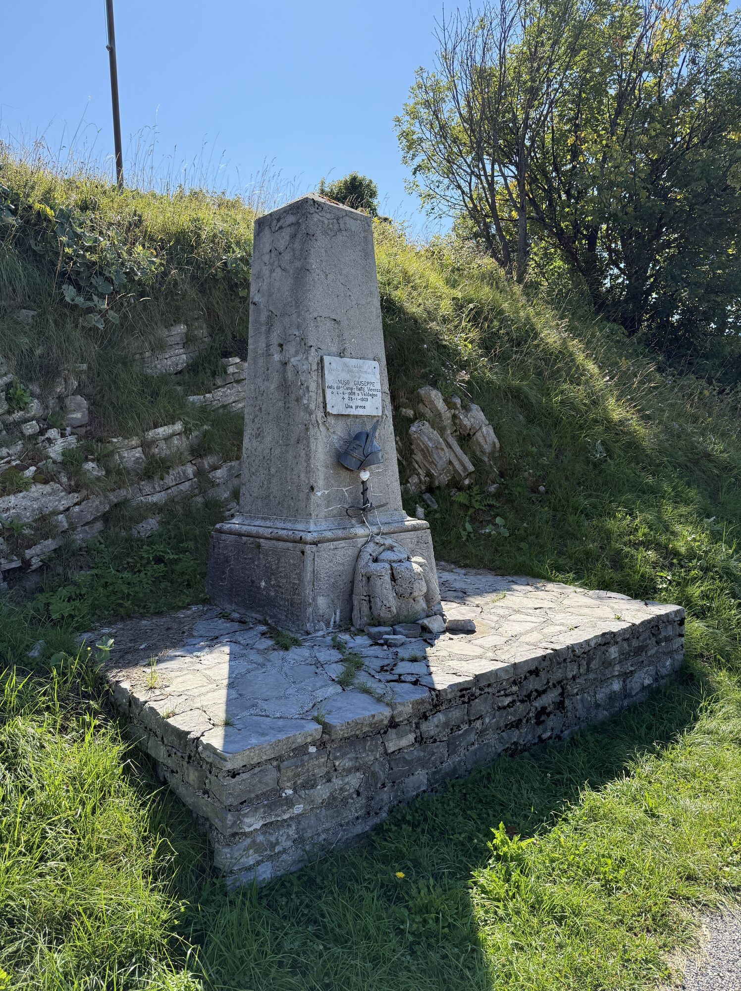
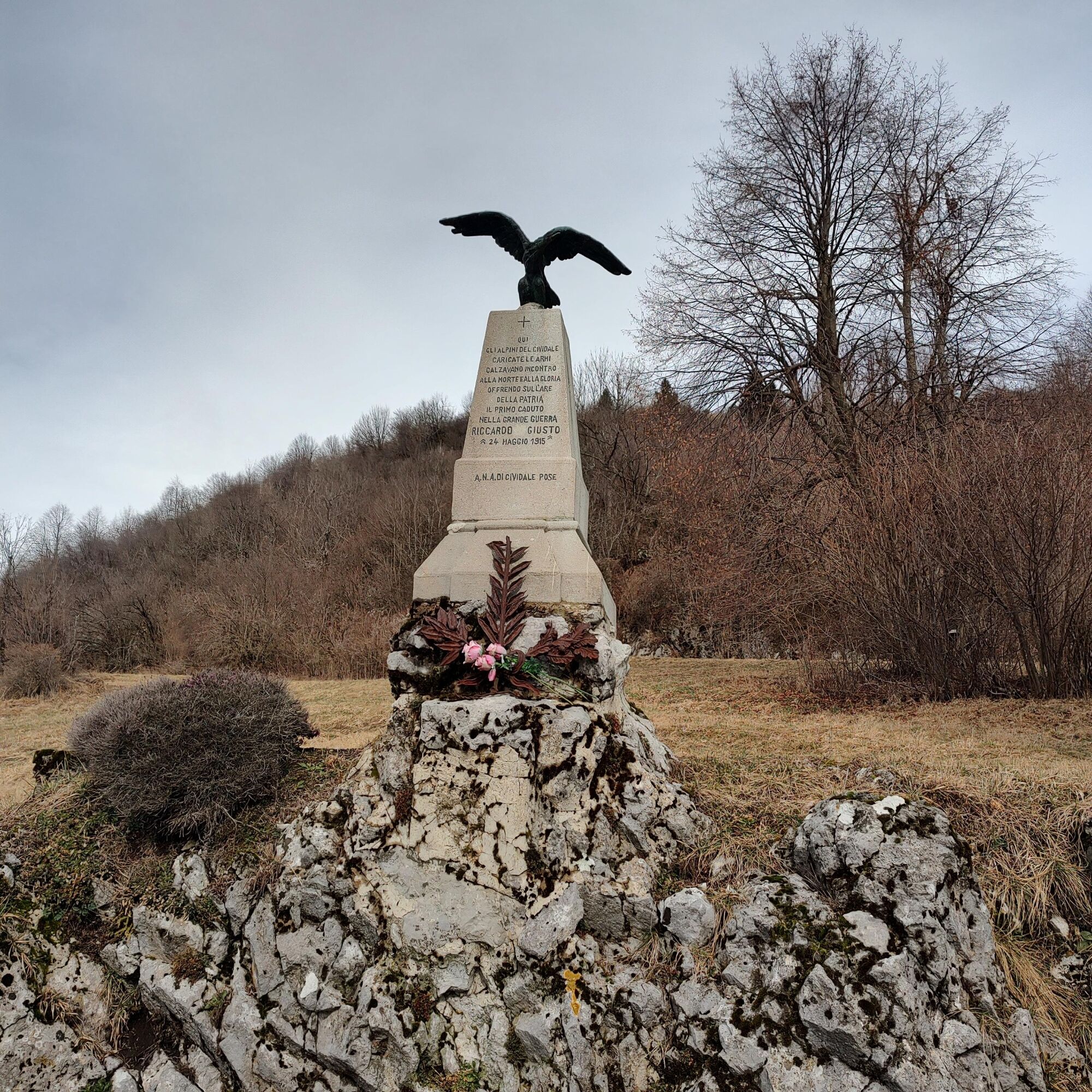
Here is also the memory of Riccardo Di Giusto, the first Italian soldier to fall in the conflict, killed on May 24, 1915 at Passo Zagradan.
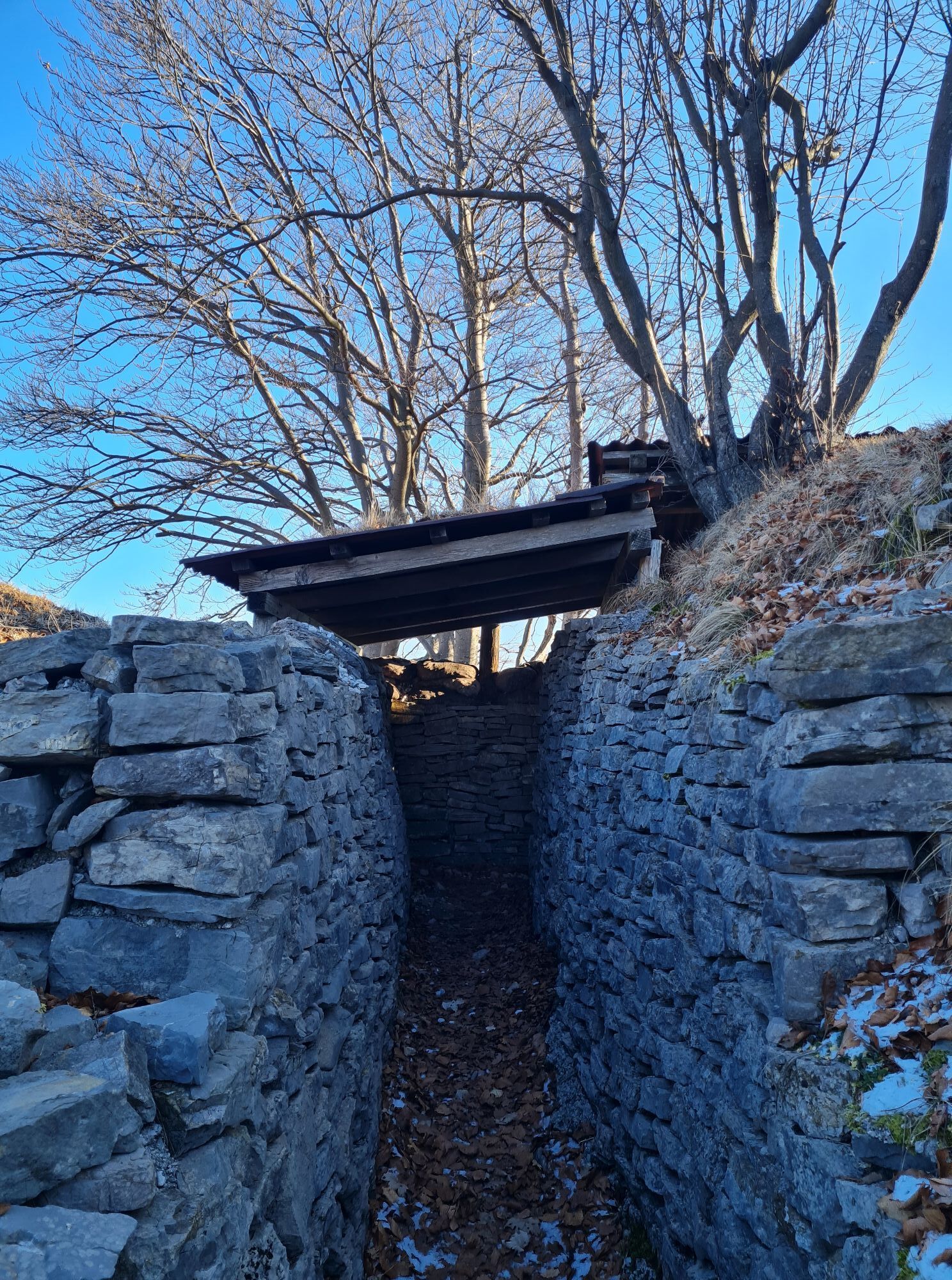
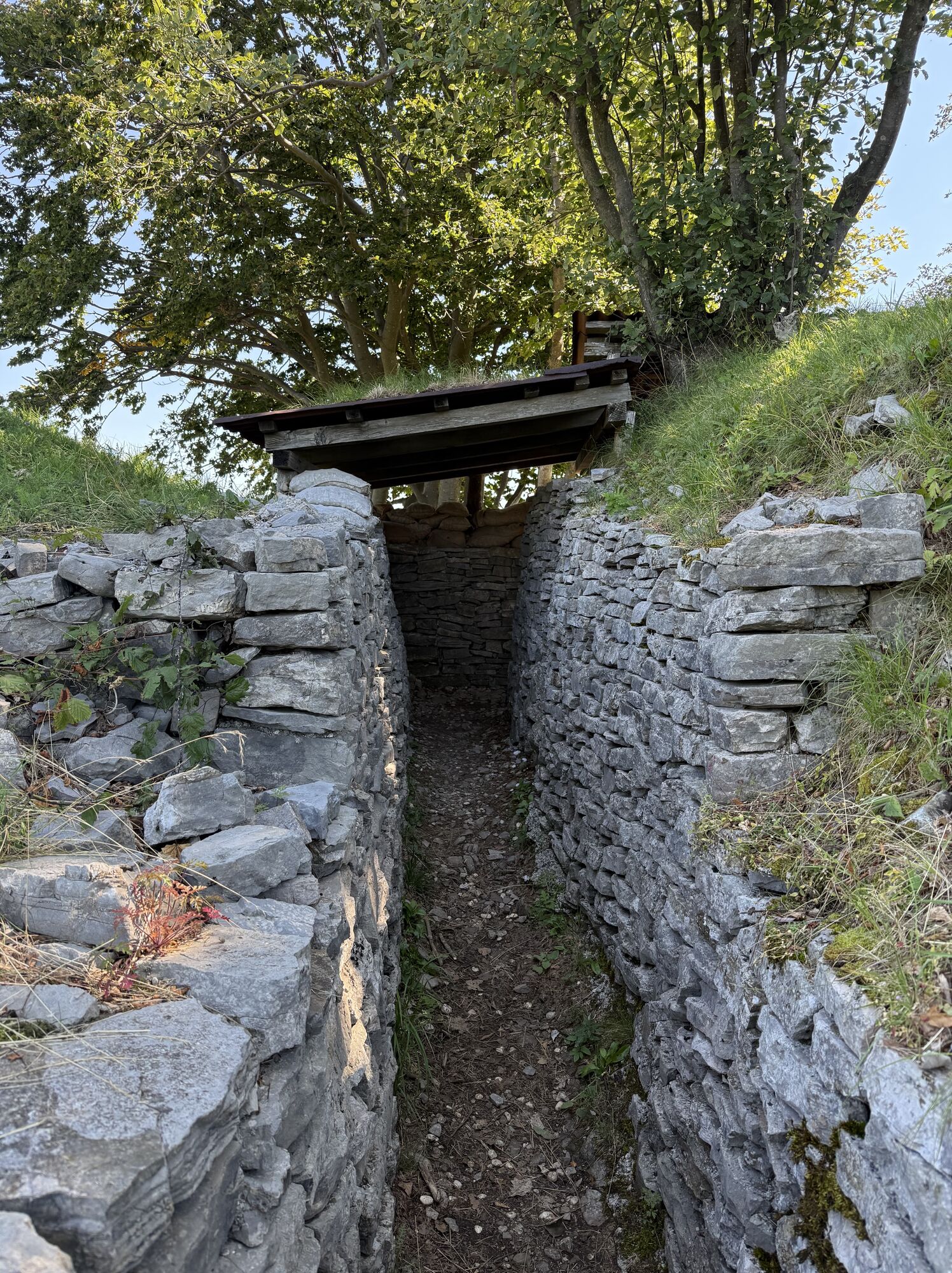
Even today, walking along the trail, you can observe the remains of fortifications and trenches, tangible testimony of a past marked by conflict. Thanks to initiatives such as the INTERREG III A Italy/Slovenia program, the area has been transformed into an open-air museum, paying tribute to a history that continues to live through the landscape.
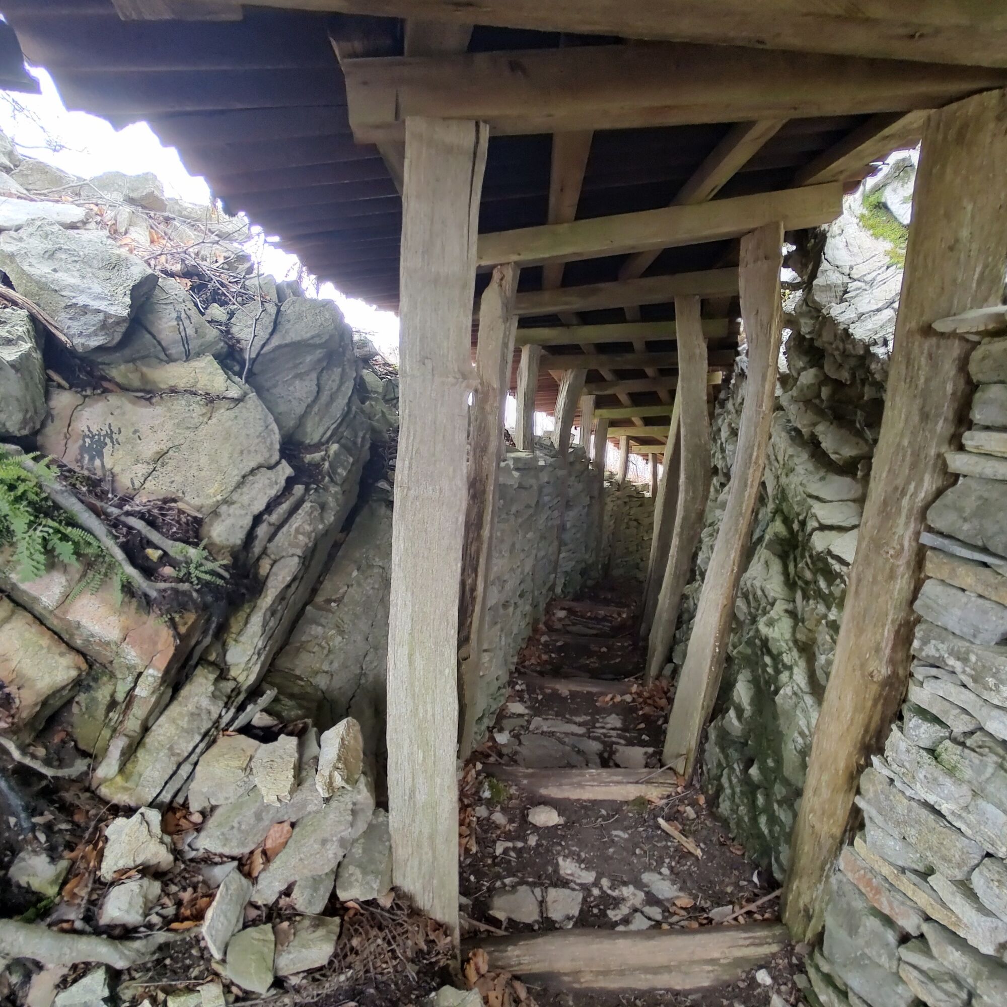
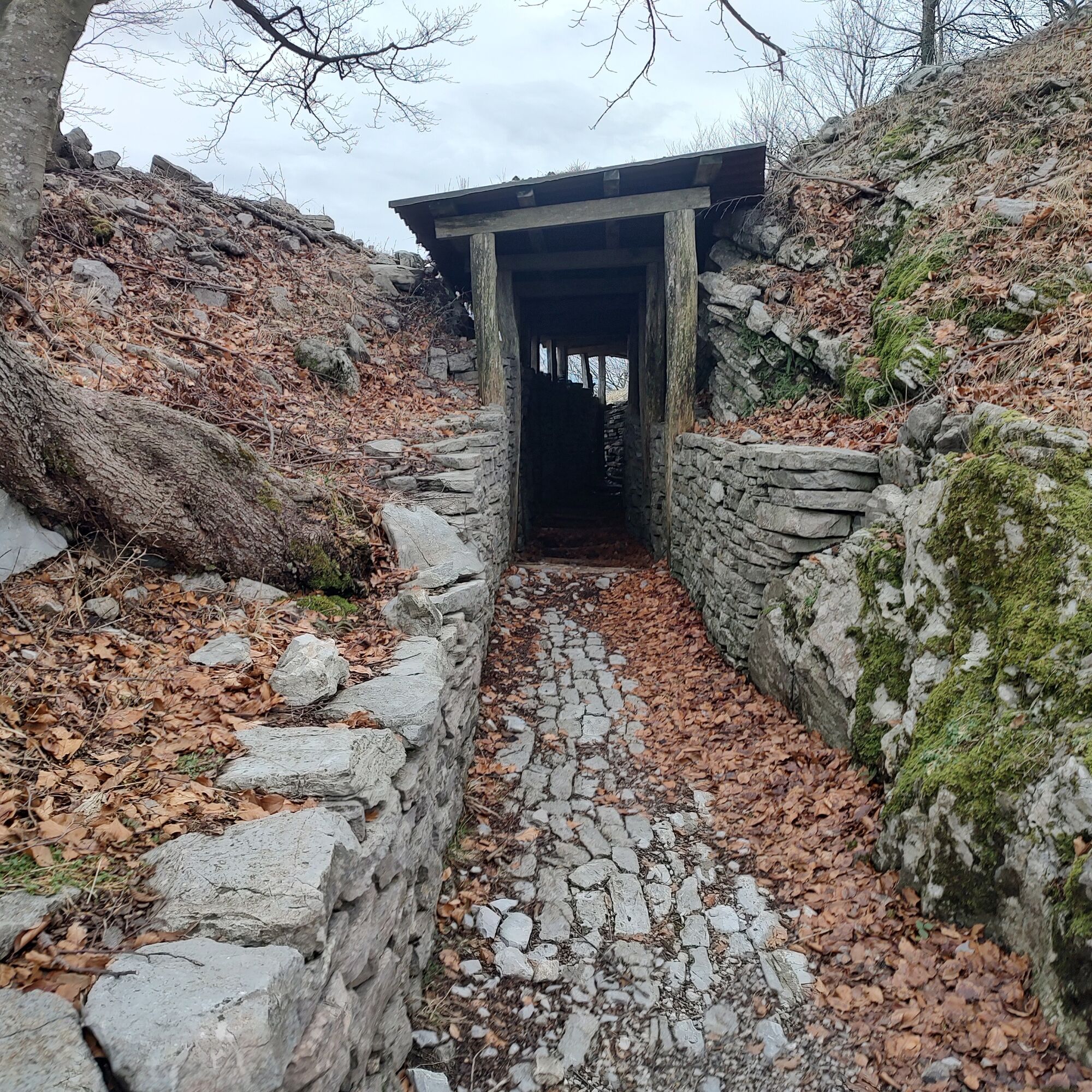
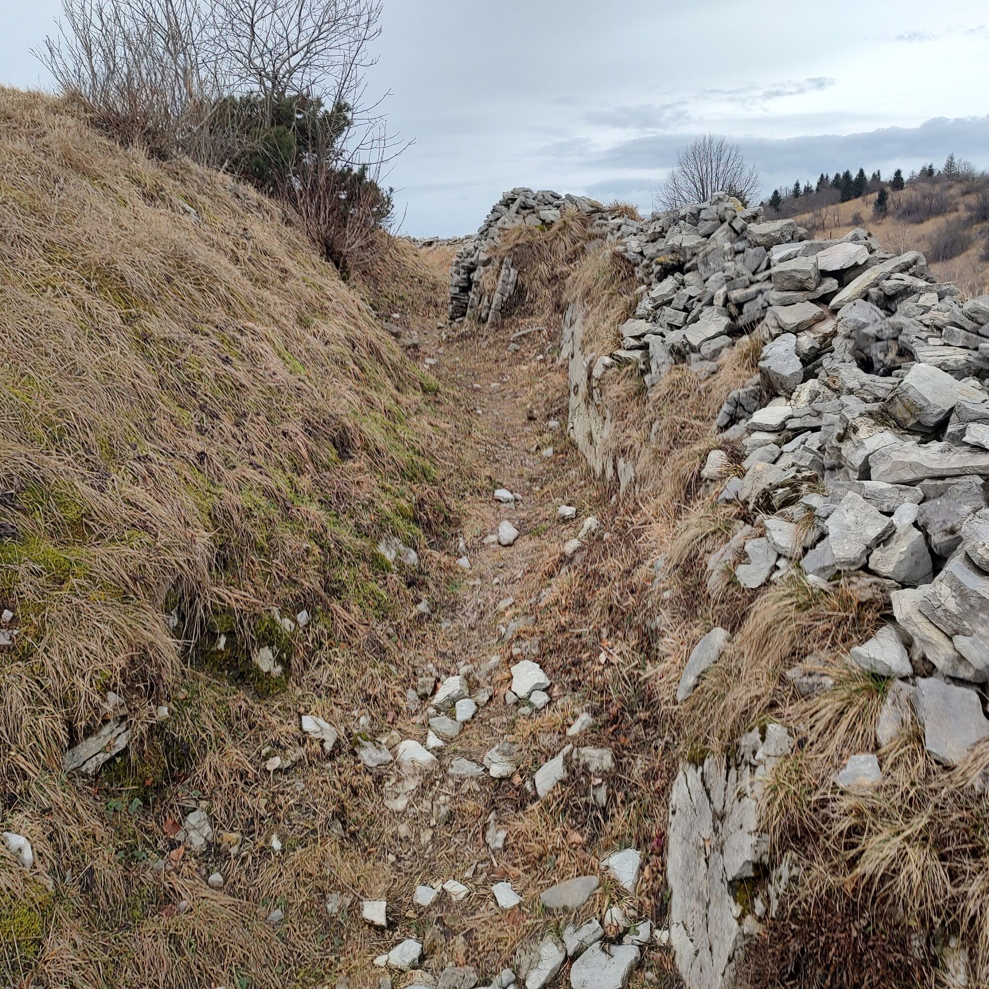
At the third hairpin bend, take the wide trail CAI 746 that climbs the meadow, quickly reaching the first summit and the remains of barracks and defensive structures.
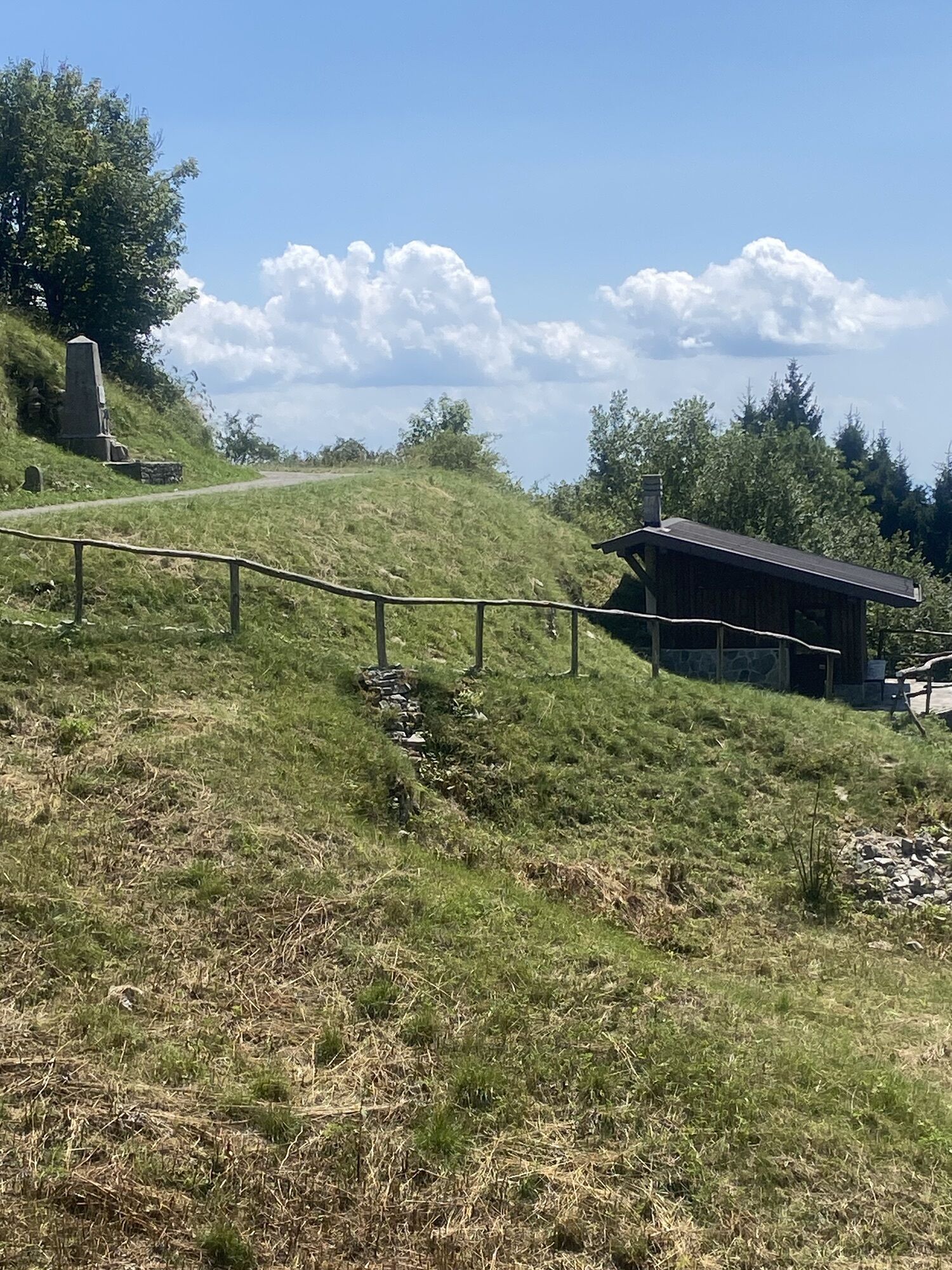
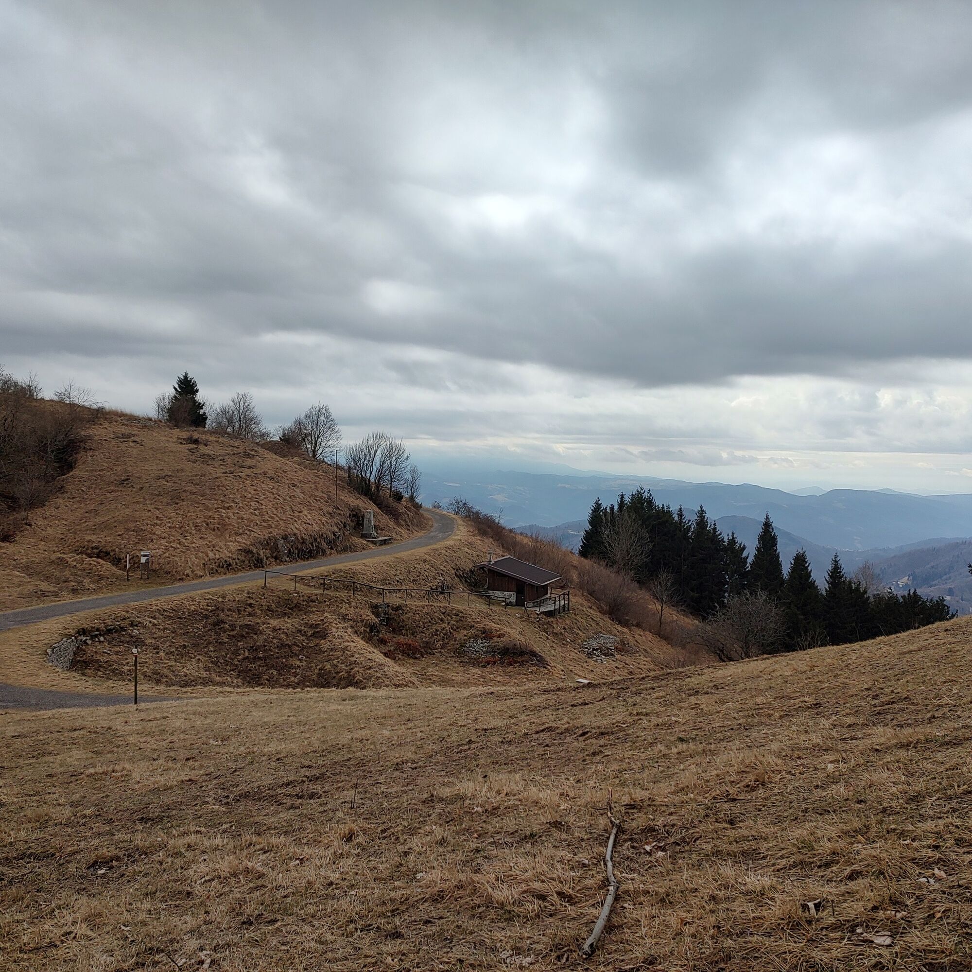
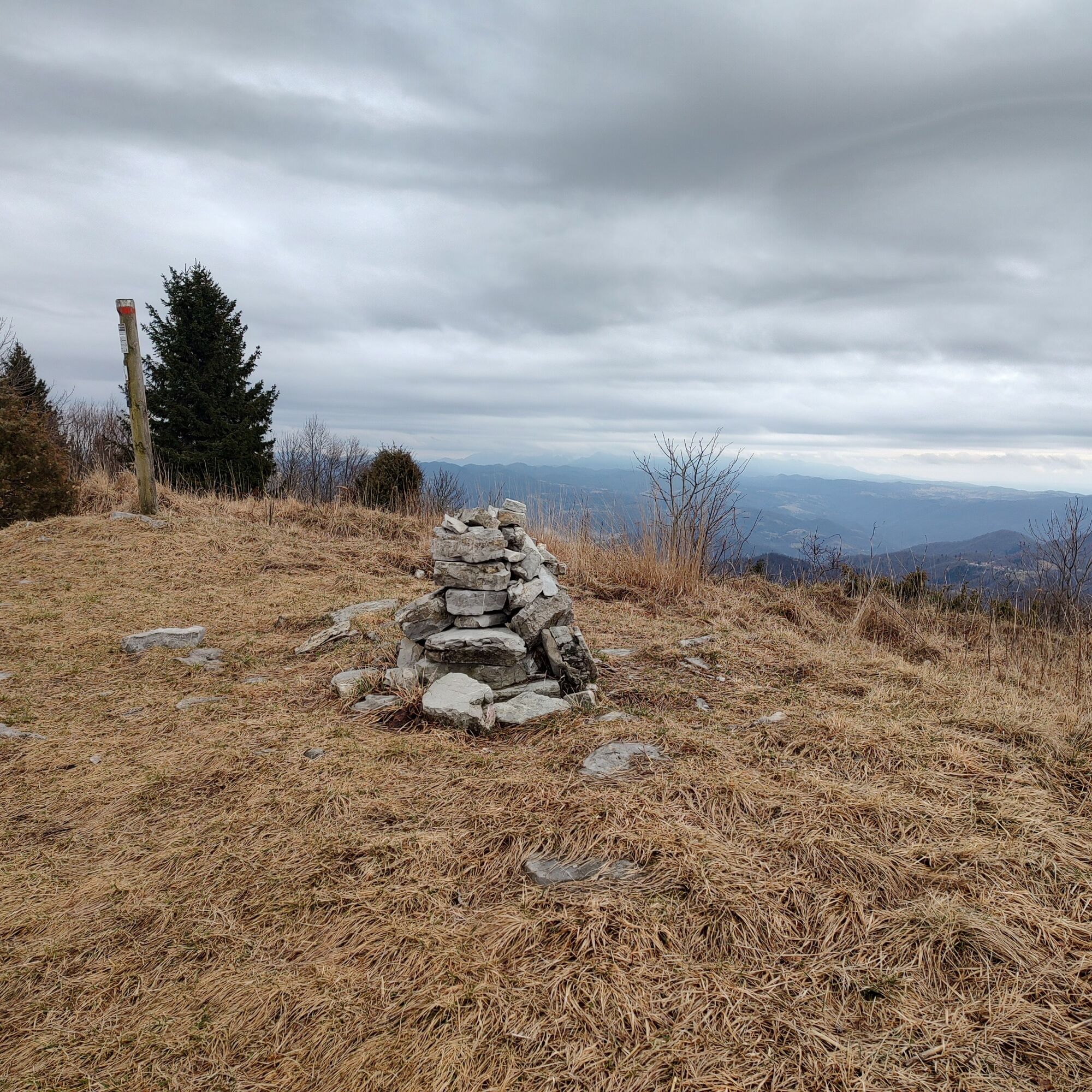
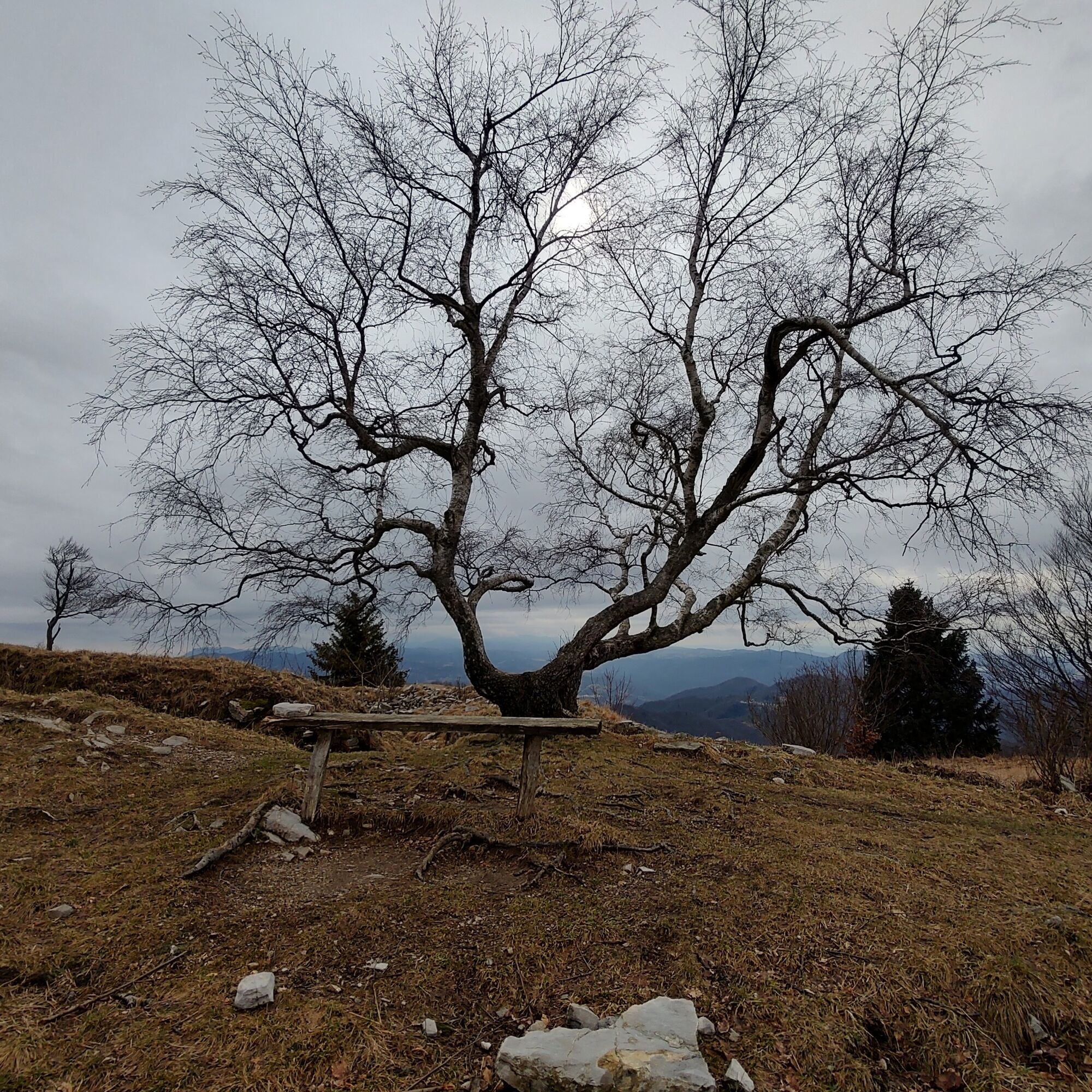
Continuing along the trail, stay on the ridge on comfortable meadows, first reaching Monte Piatto, then the saddle of Biv. Zanuso, and finally Monte Nachnoi.
Here, briefly descend along the southern slope, rejoining the road and return the same way to Passo Solarie.
Ano
Ano
Standard hiking equipment, depending on the season.
Hike not recommended in the summer months due to the low altitude and exposure to the sun. There are no water sources along the loop; in case of particularly hot days, consider carrying an adequate amount of water.
Pass Cividale and continue towards Sanguarzo, after which, after the San Quirino bridge, keep right towards Savogna (SP45) and at the first intersection continue right following signs for Stregna and Drenchia.
Pass various villages and hamlets, always paying attention to the many signs indicating Kolovrat, shortly before Trinco turn right and after 1.6 km, you reach Passo Solarie with the homonymous refuge.
It is possible to reach the Crai locality about 2 km from the Pass by public transport.
Parking at Rif, Solarie
The remaining trail network and the ease of the hike allow you to easily vary the length of the hike according to your needs. We recommend reading the numerous informational signs about the history of the place.
We recommend checking in advance if you want to do the hike by contacting Rifugio Solarie
Contacts: 3293413390
Enrico Benedett
Oblíbené prohlídky v okolí
-
4.6
Kozjak Wasserfall und Soča
světloTuristika 5.18 km -
3.9
Tolminka Klamm
světloTuristika 1.90 km -
3.3
Auf den Krn
středníTuristika 5.90 km -
3.2
Slap Kozjak (Wasserfall)
světloTuristika 3.40 km -
4.0
Matajur
středníMountainbike 24.8 km -
4.2
Kolovrat
středníMountainbike 33.0 km -
4.8
K-B2 Hut near the Krn lakes (Monte Nero) - Ukanc
heavyTematická stezka 18.2 km -
4.8
Kobarid - Stari grad - Restaurant Kamp Lazar - Veliki Kozjak
středníTuristika 8.98 km -
JULIANA TRAIL: stage 13 Kobarid – Bovec
středníTuristika 23.1 km -
4.5
Krnska jezera
středníProcházka 12.4 km
Pěší turistika a stopování


Nenechte si ujít nabídky a inspiraci pro vaši příští dovolenou
Vaše e-mailová adresa byl přidán do poštovního seznamu.