







UTVV CENTURION - 100 km

Úroveň obtížnosti: T2
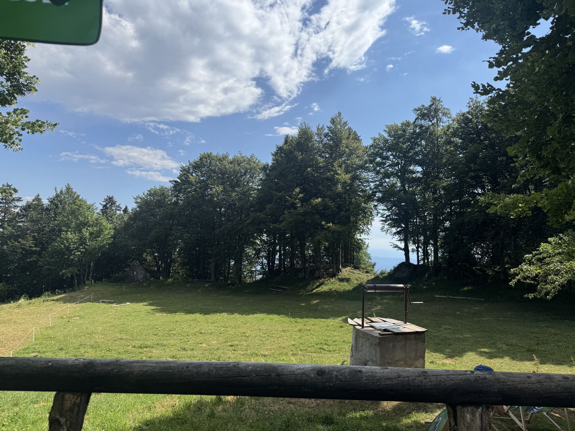
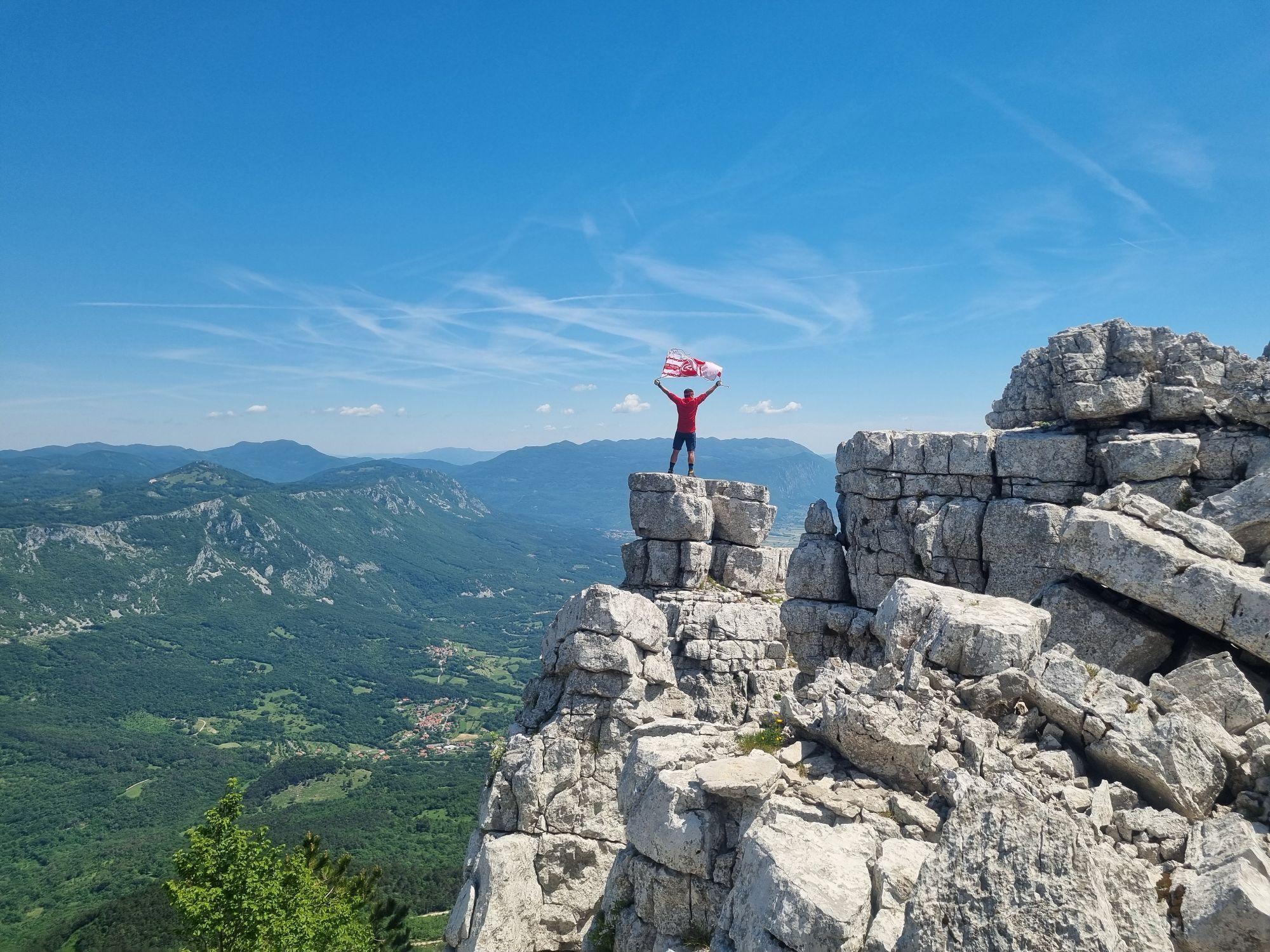
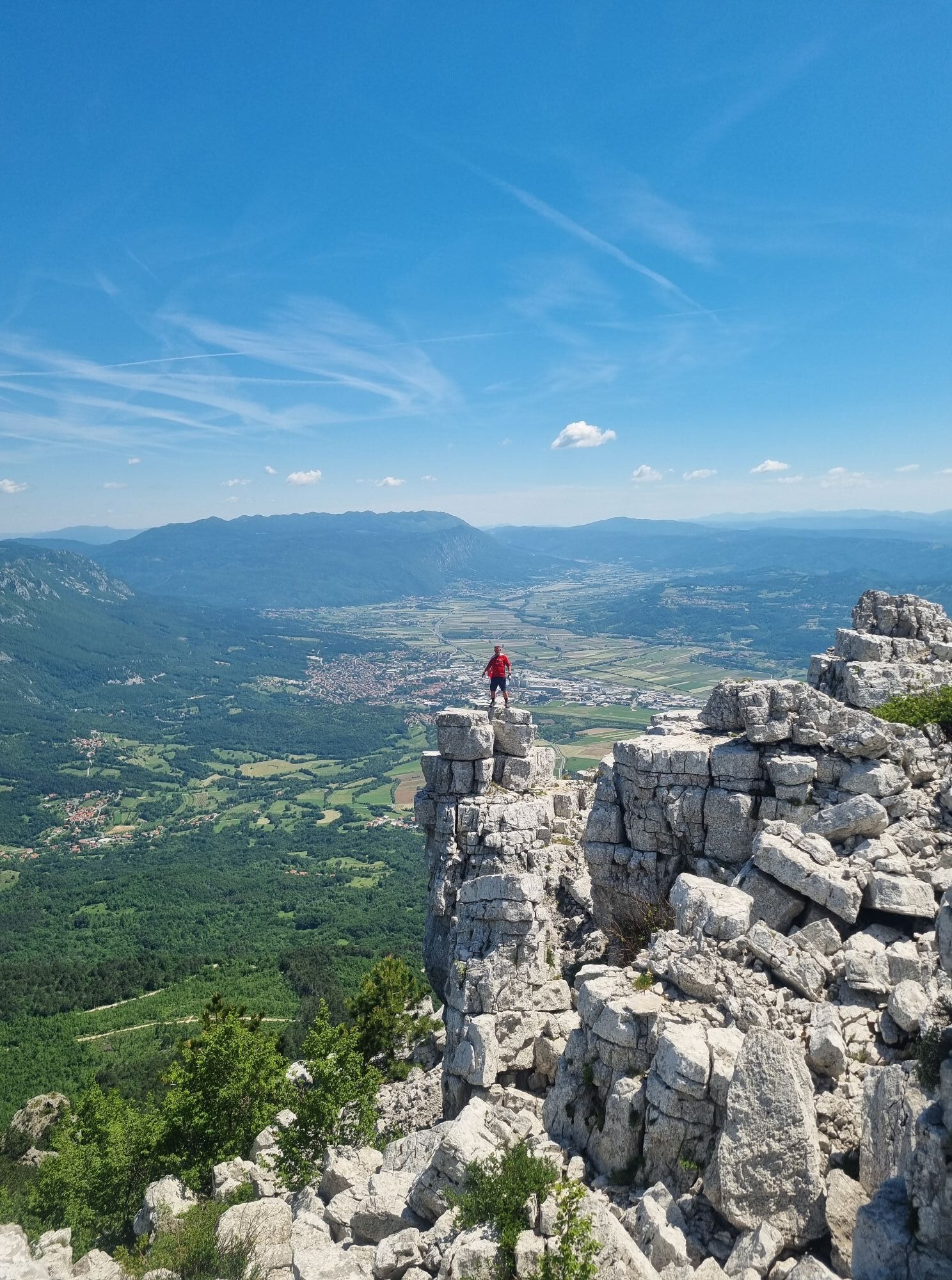
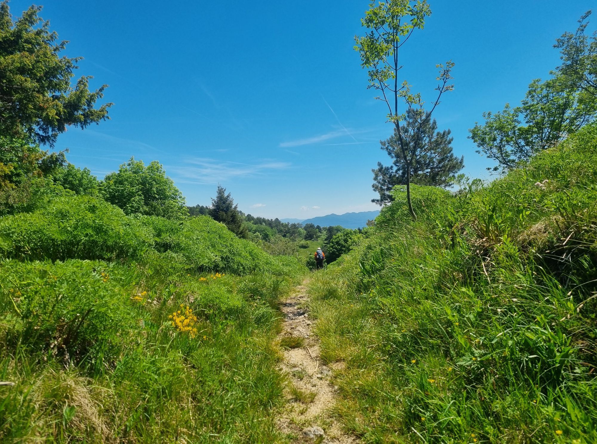
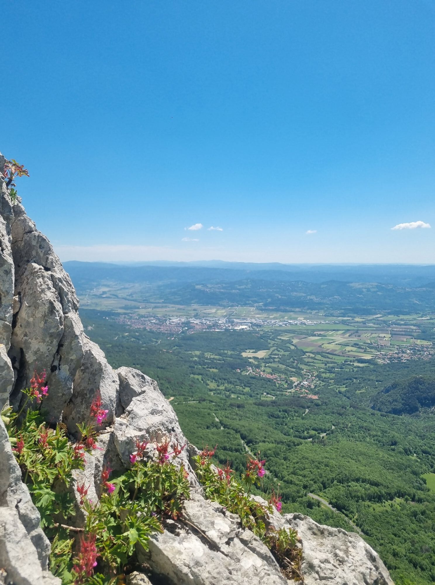
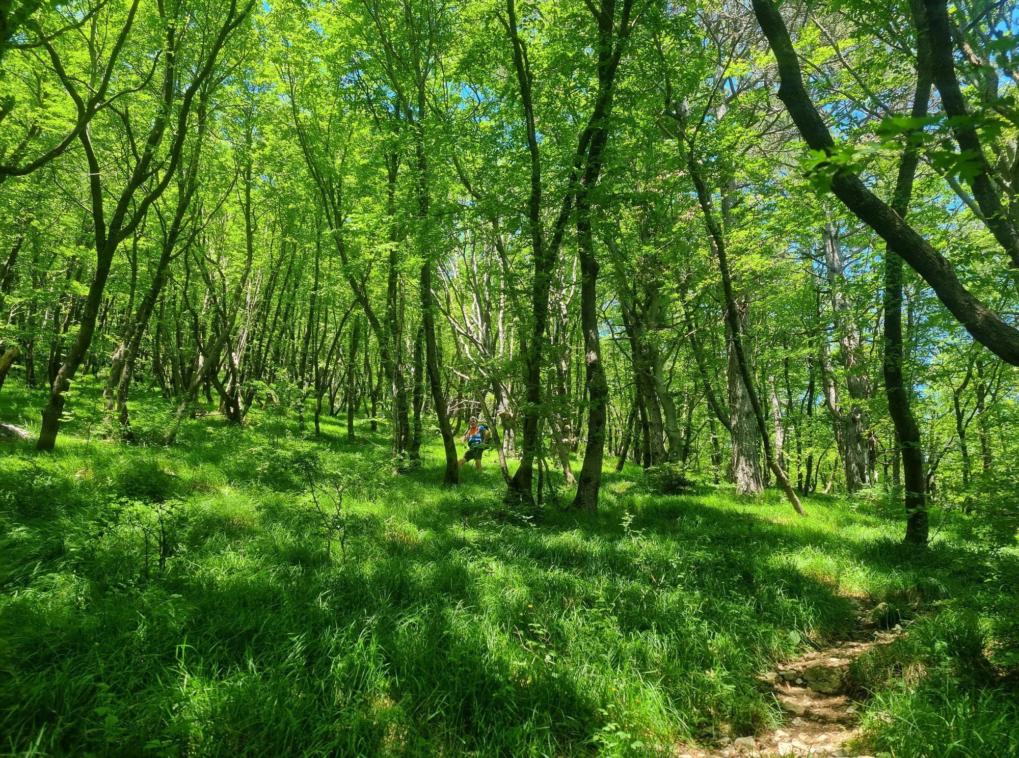
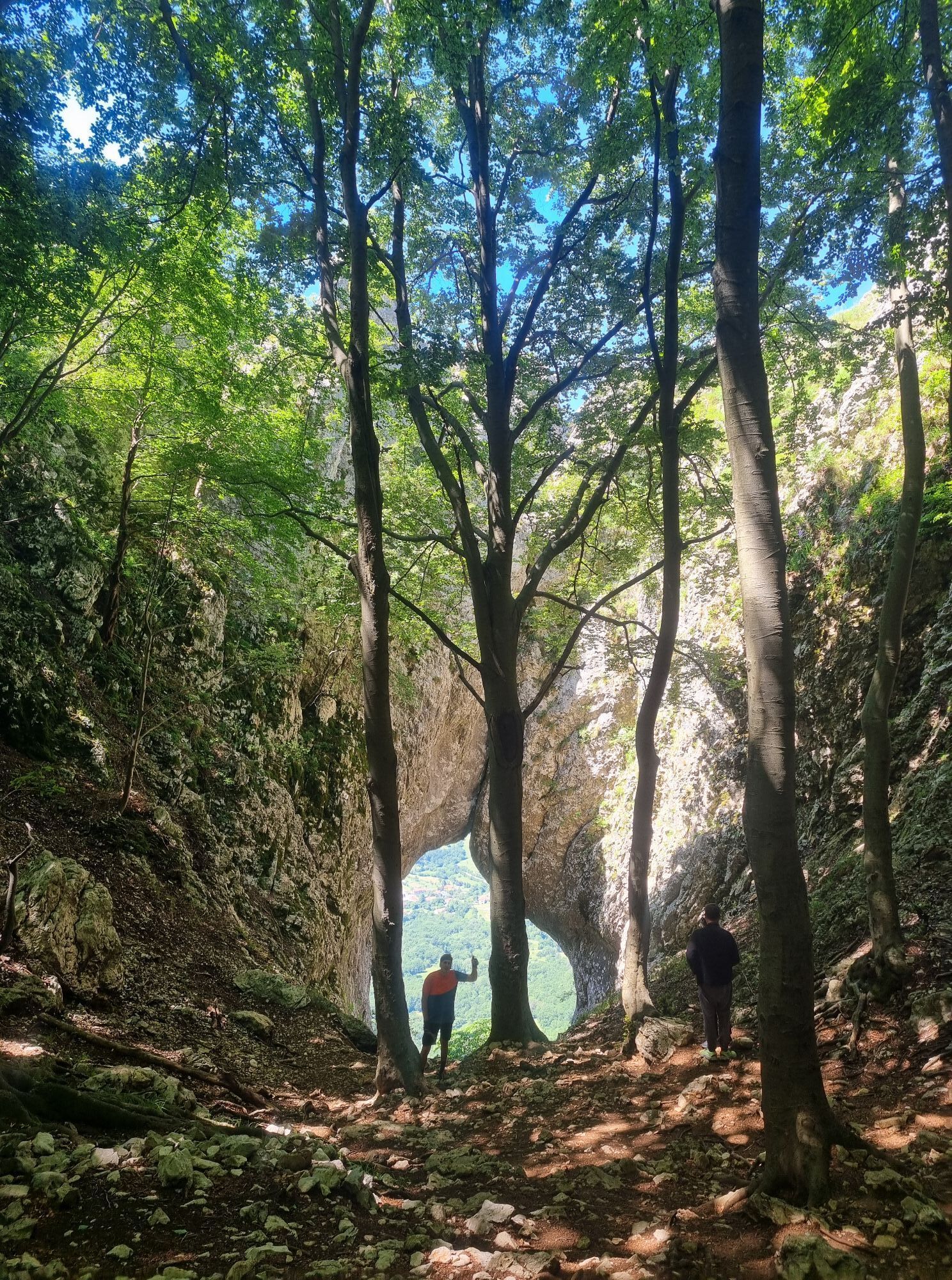
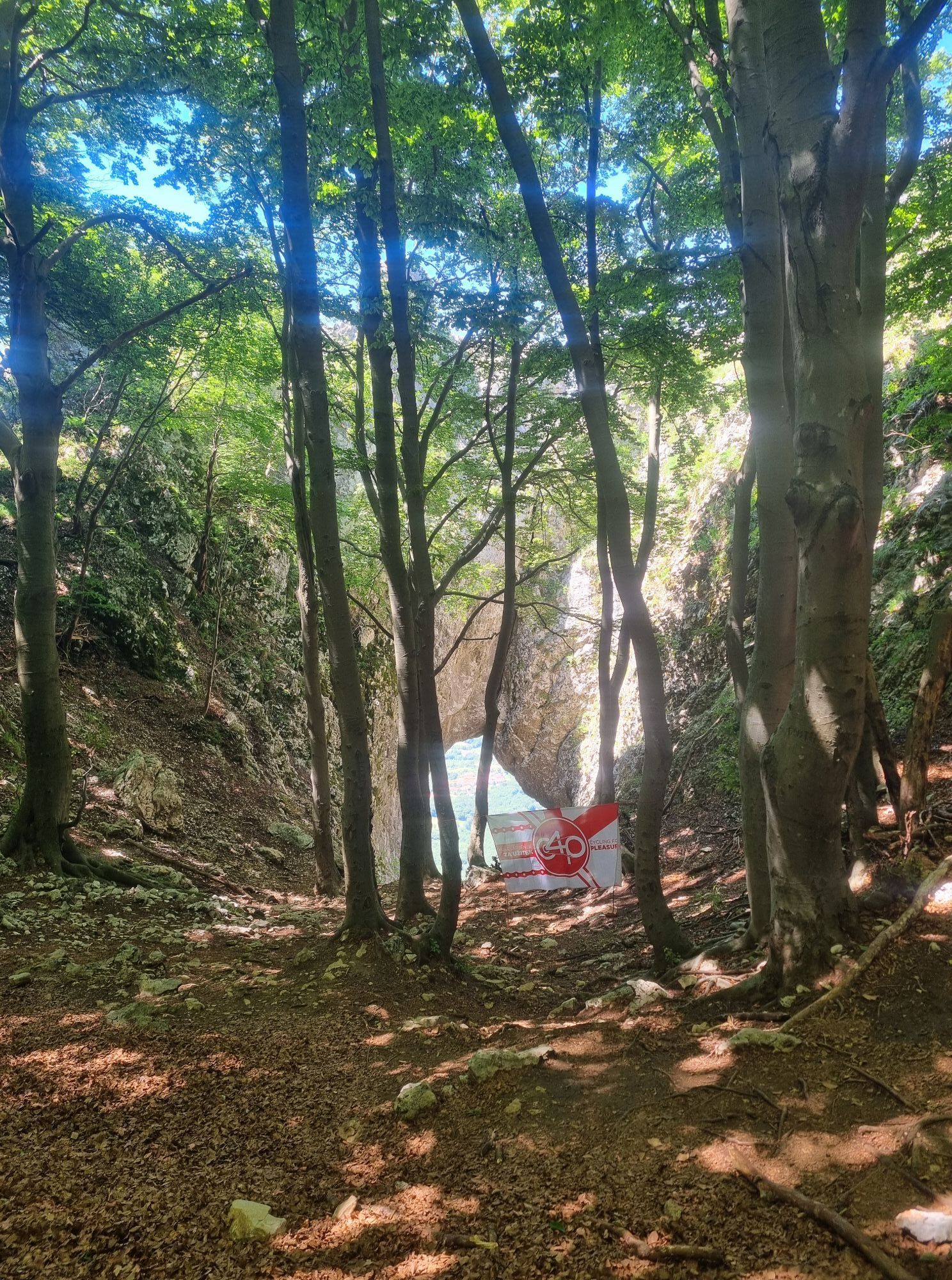
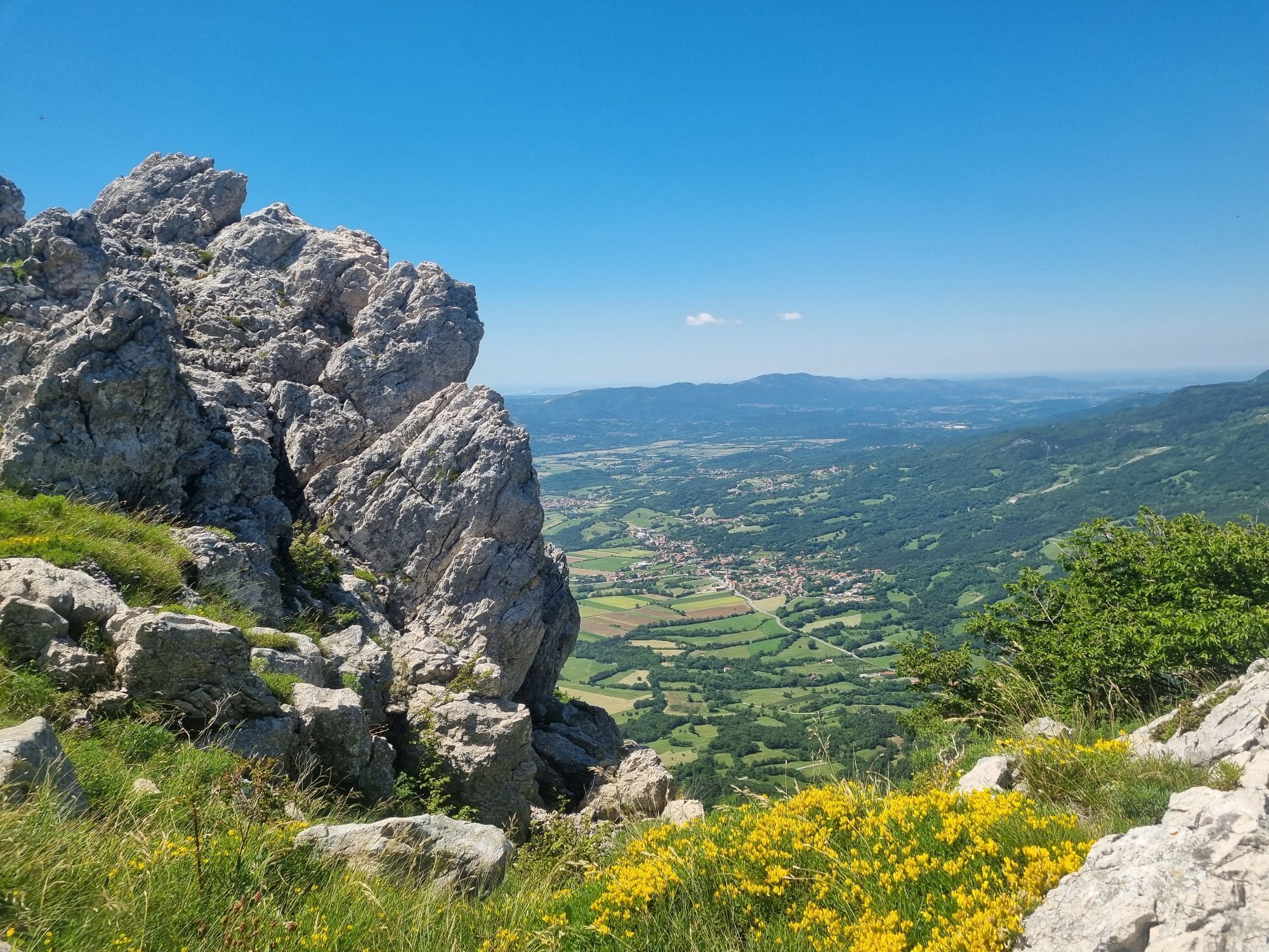
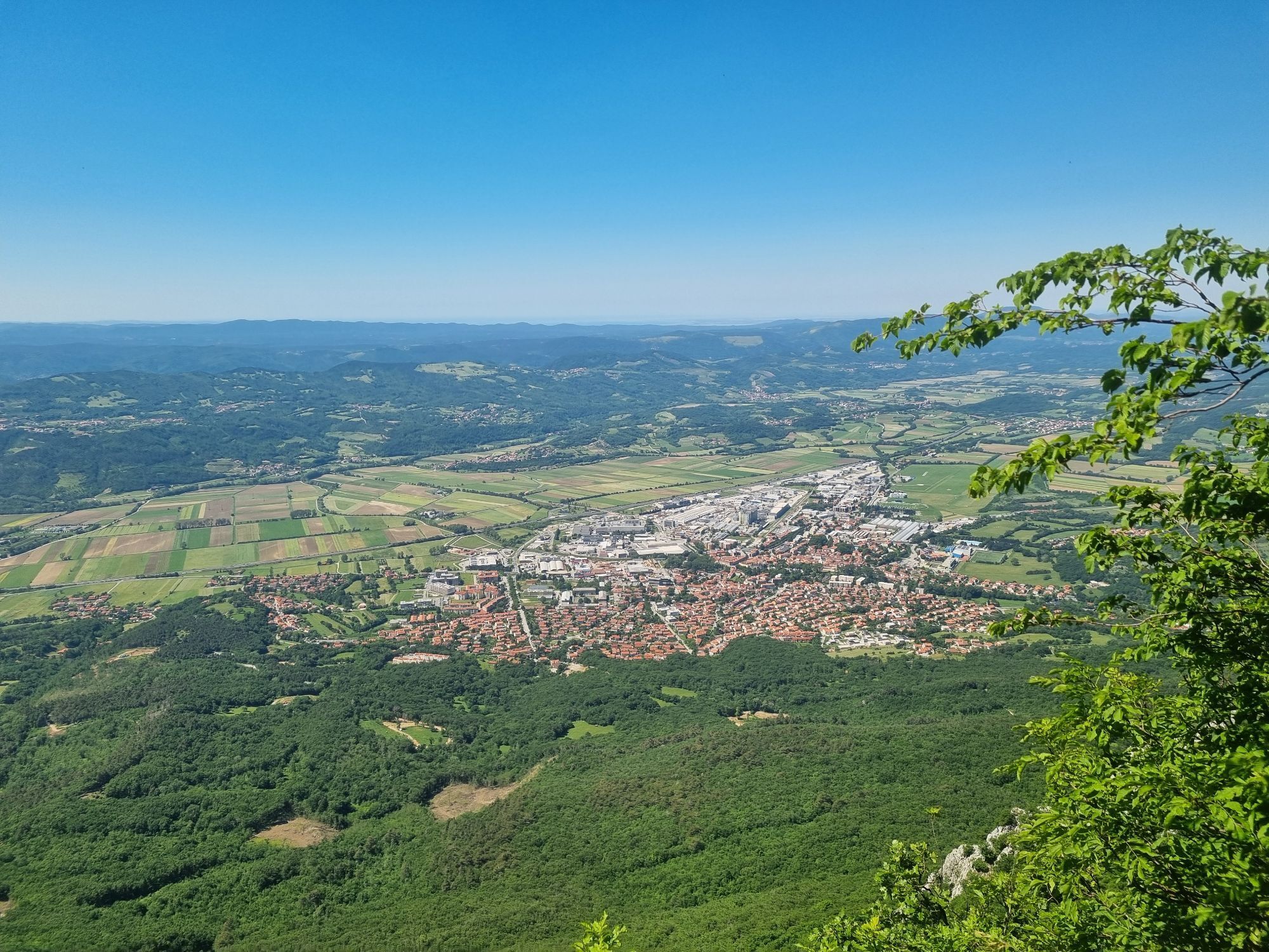
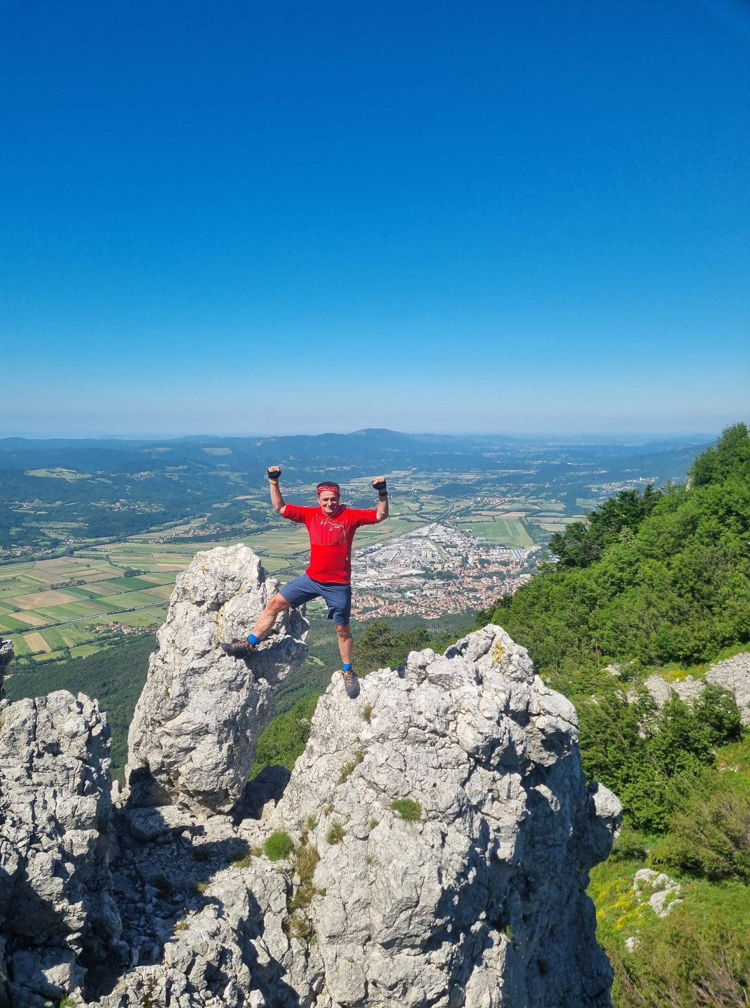
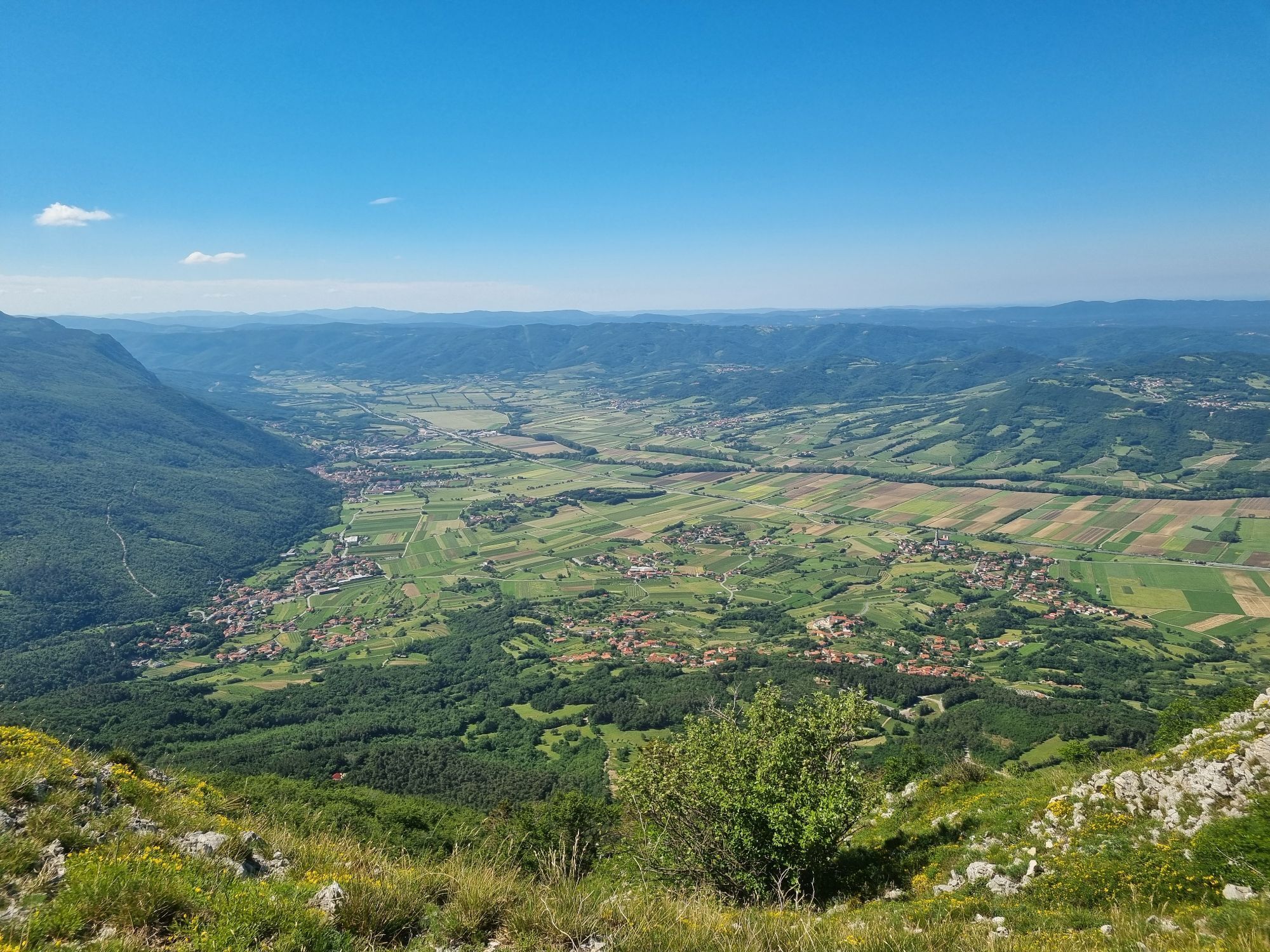
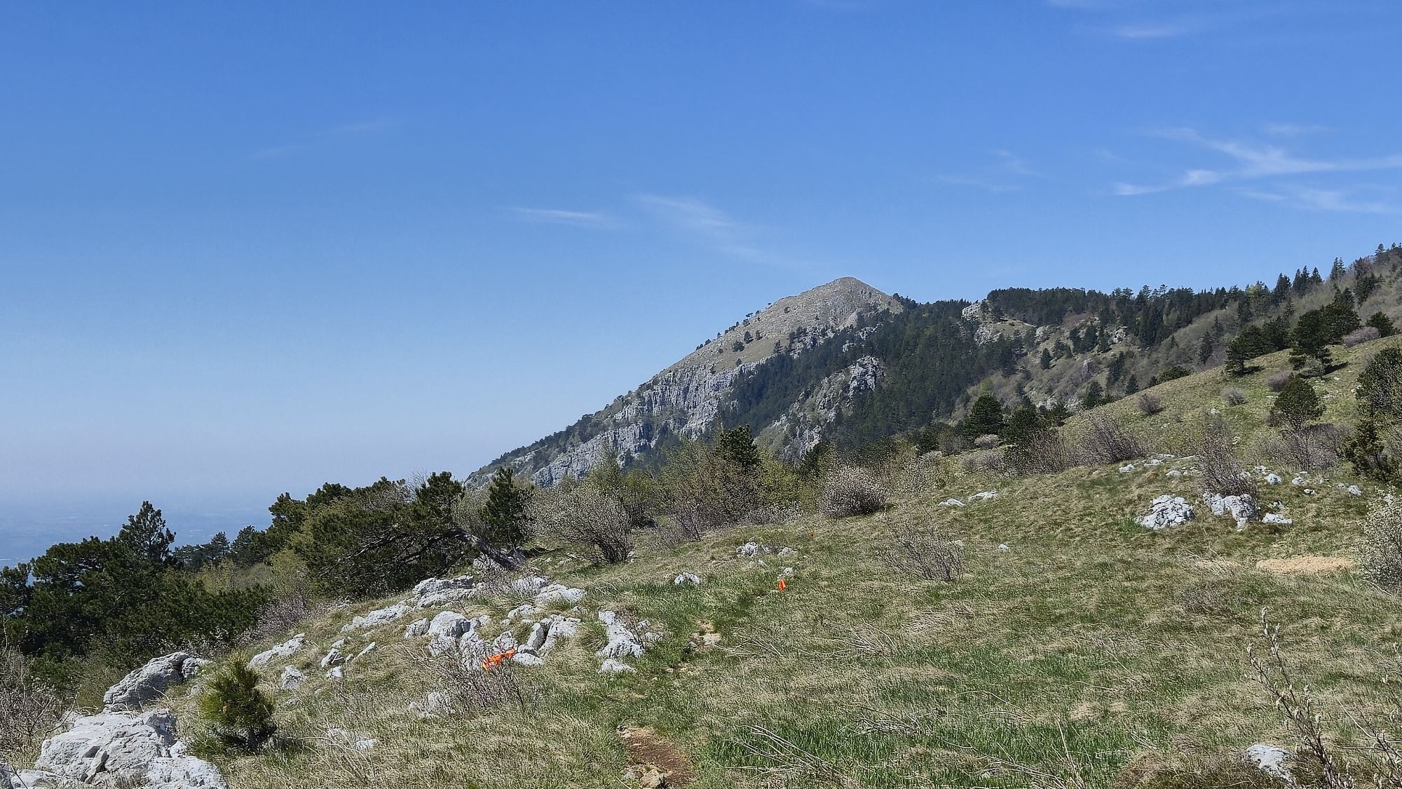
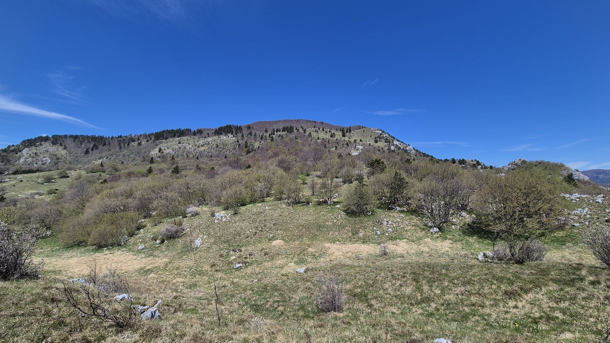
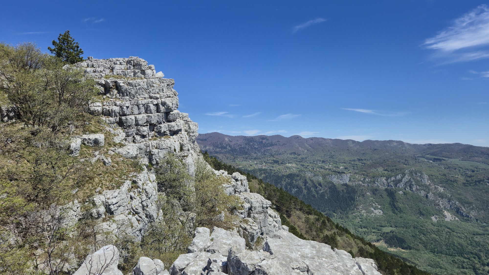
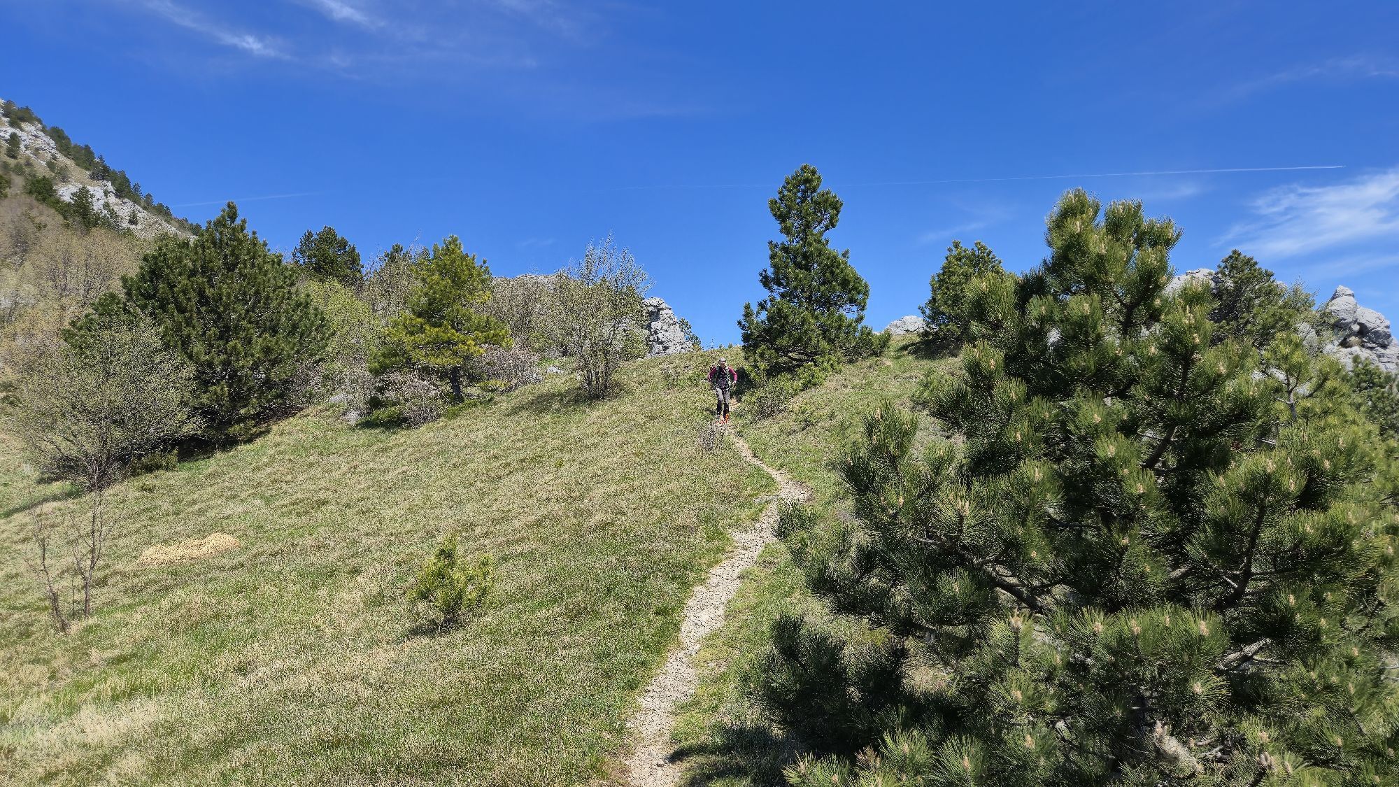
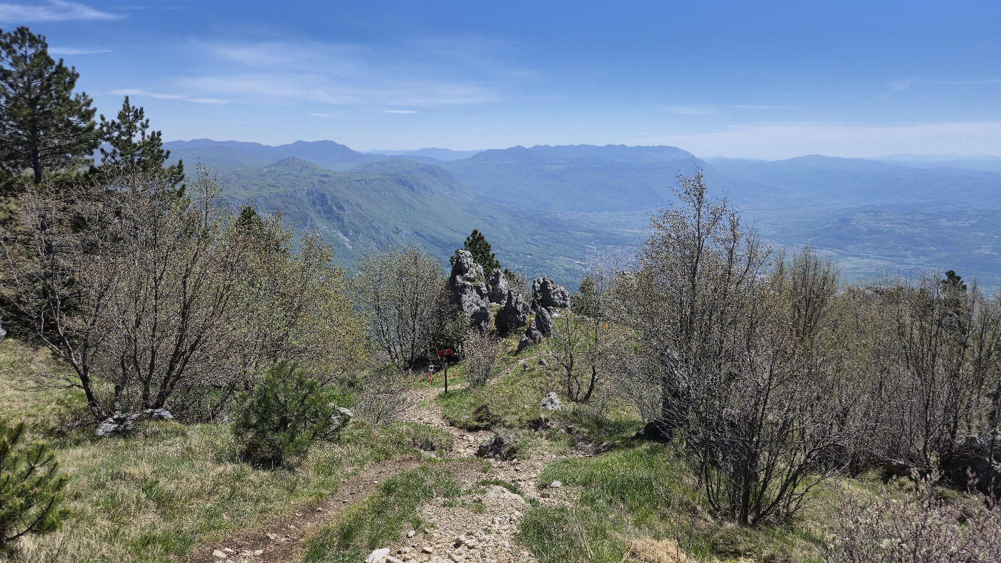
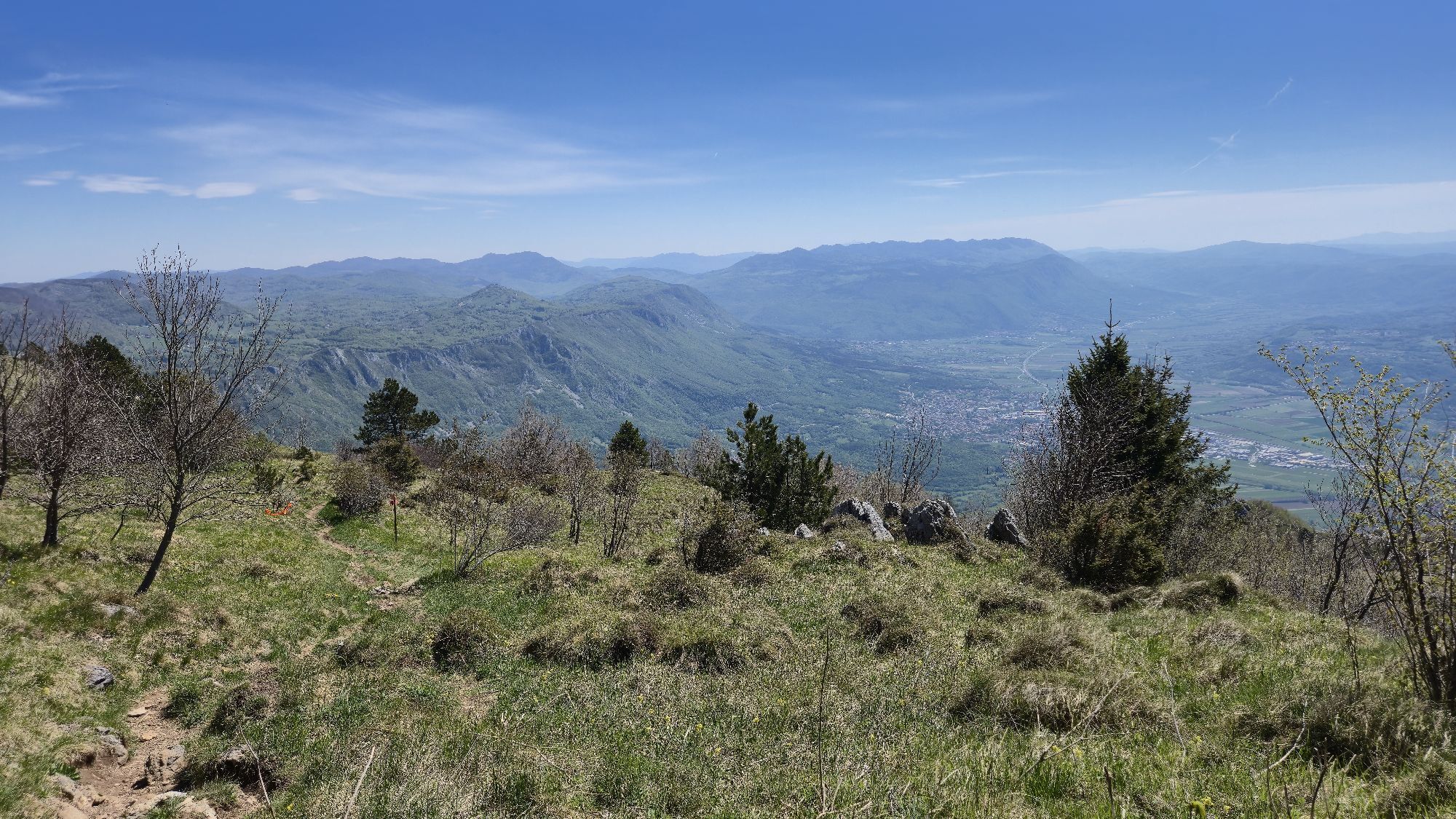
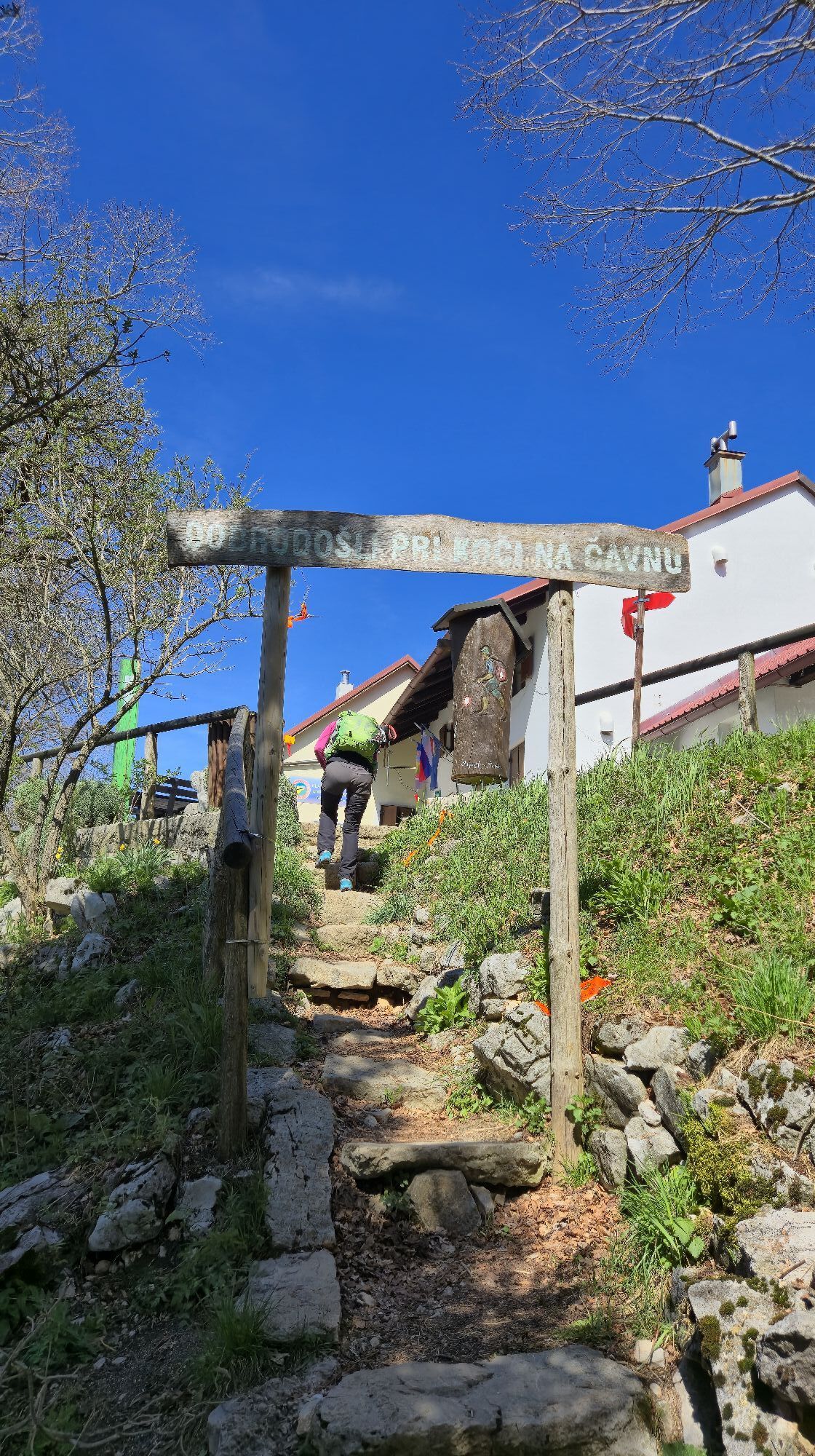
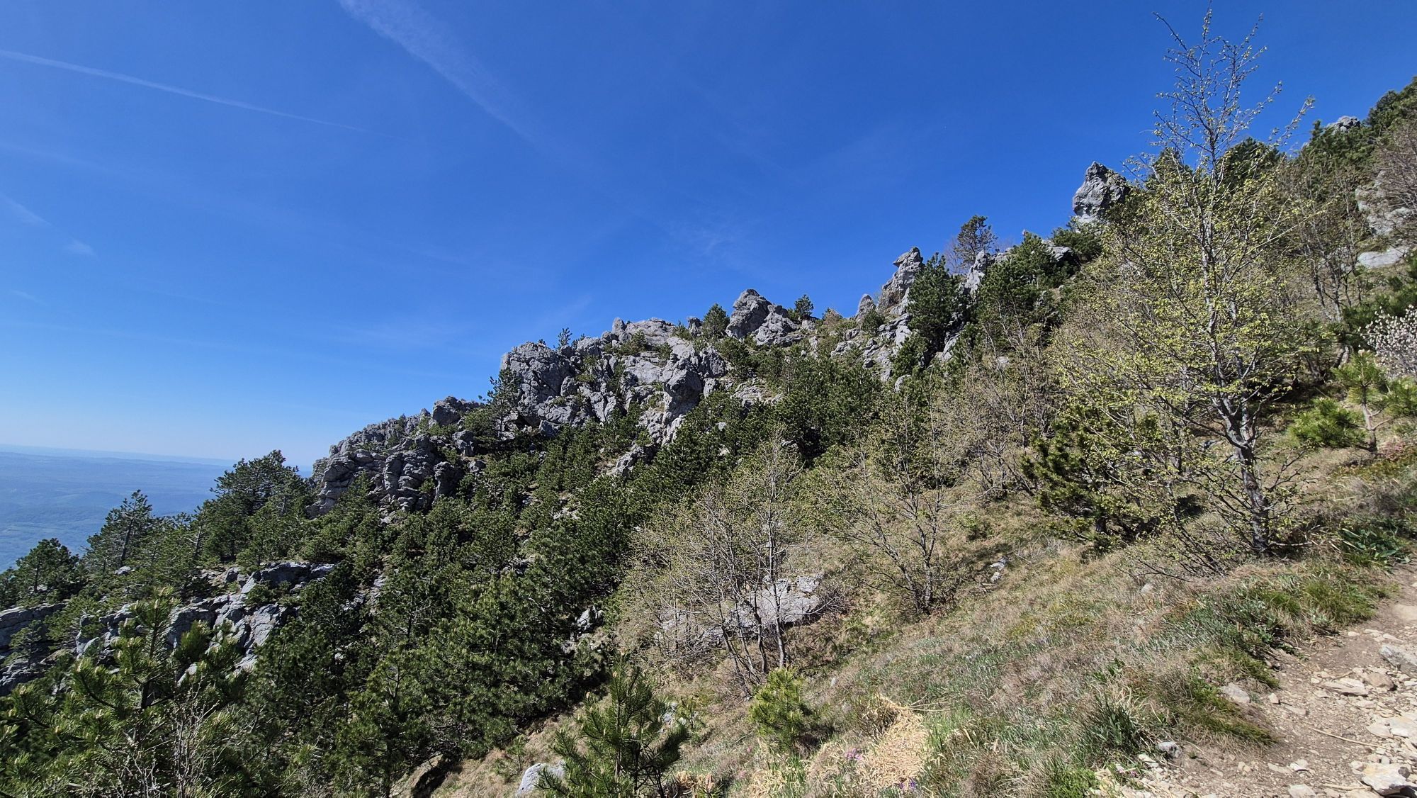
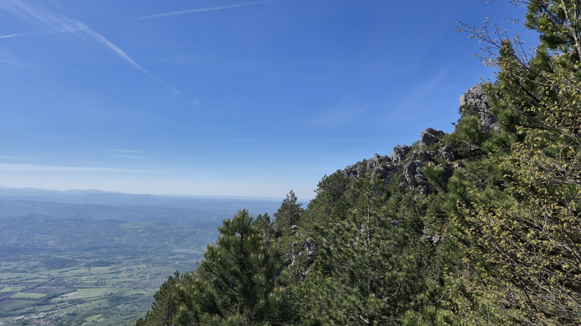
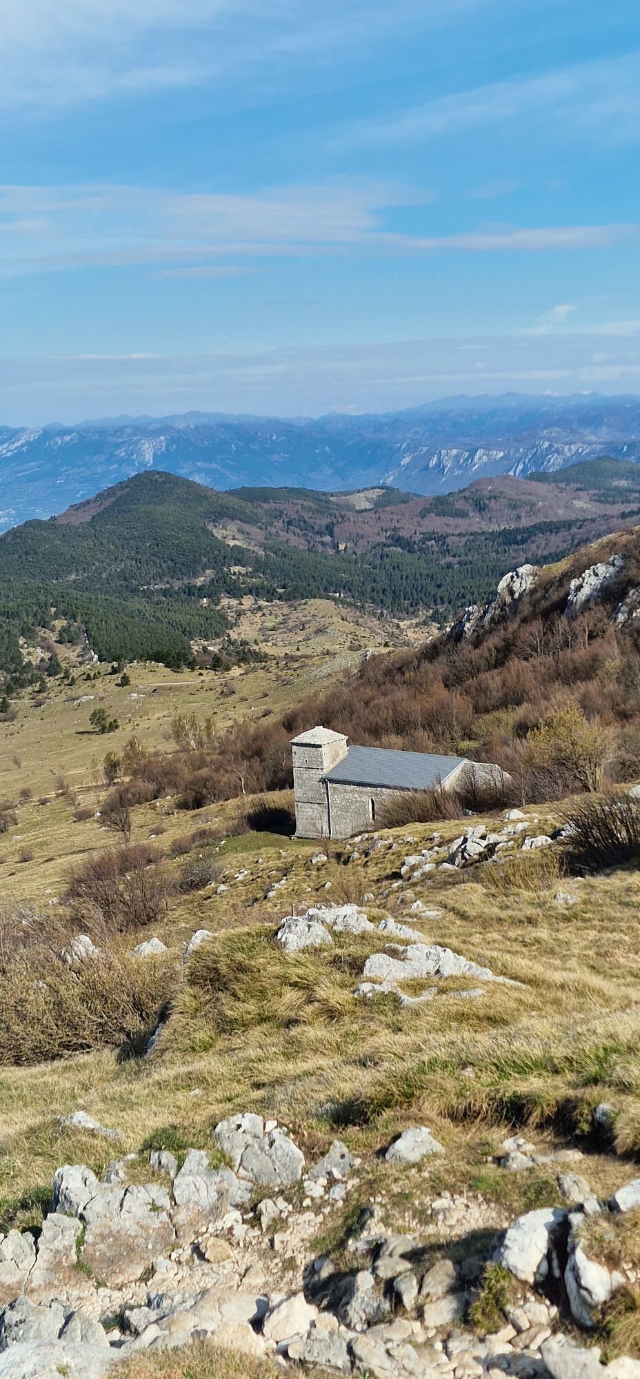
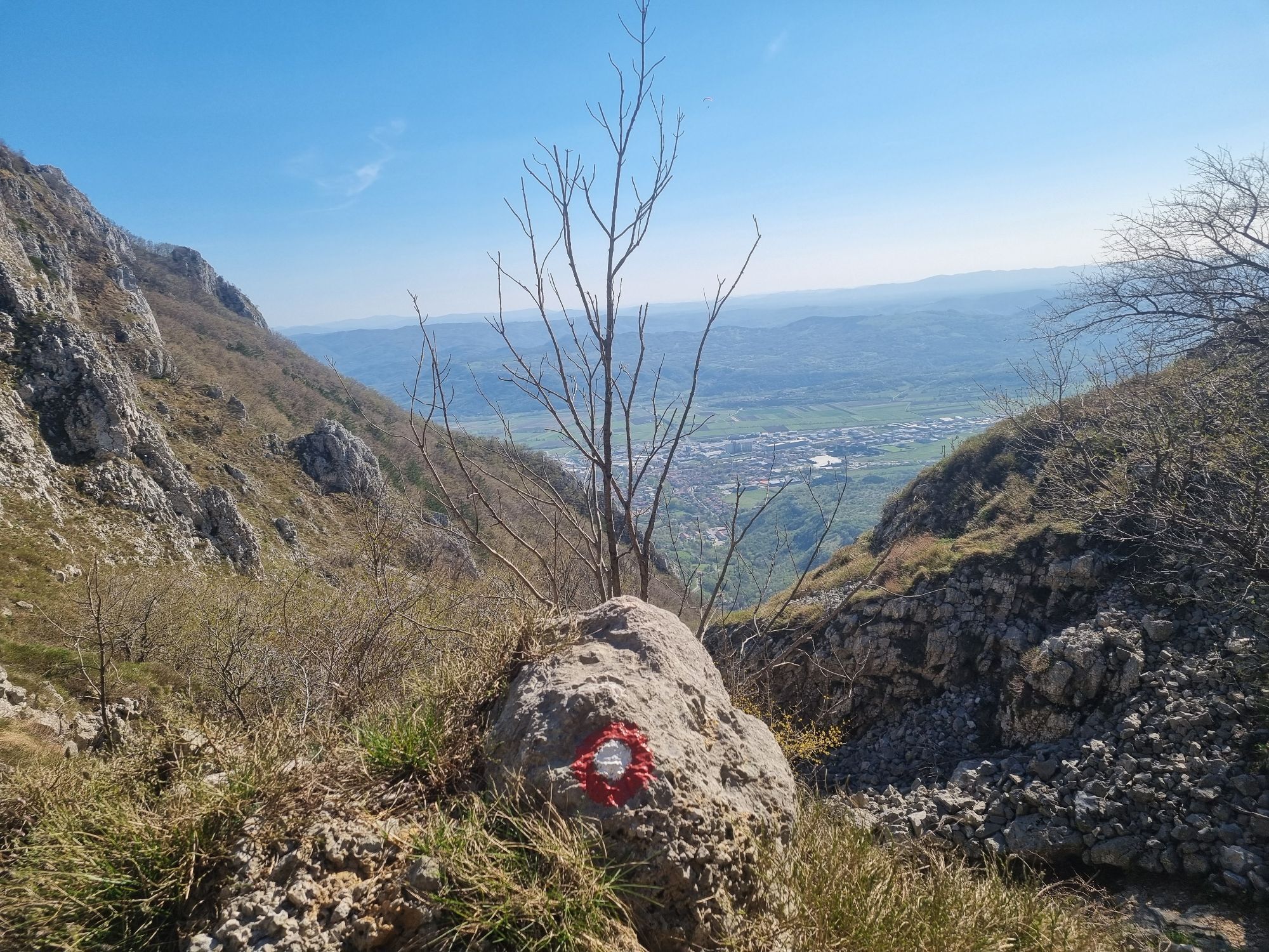
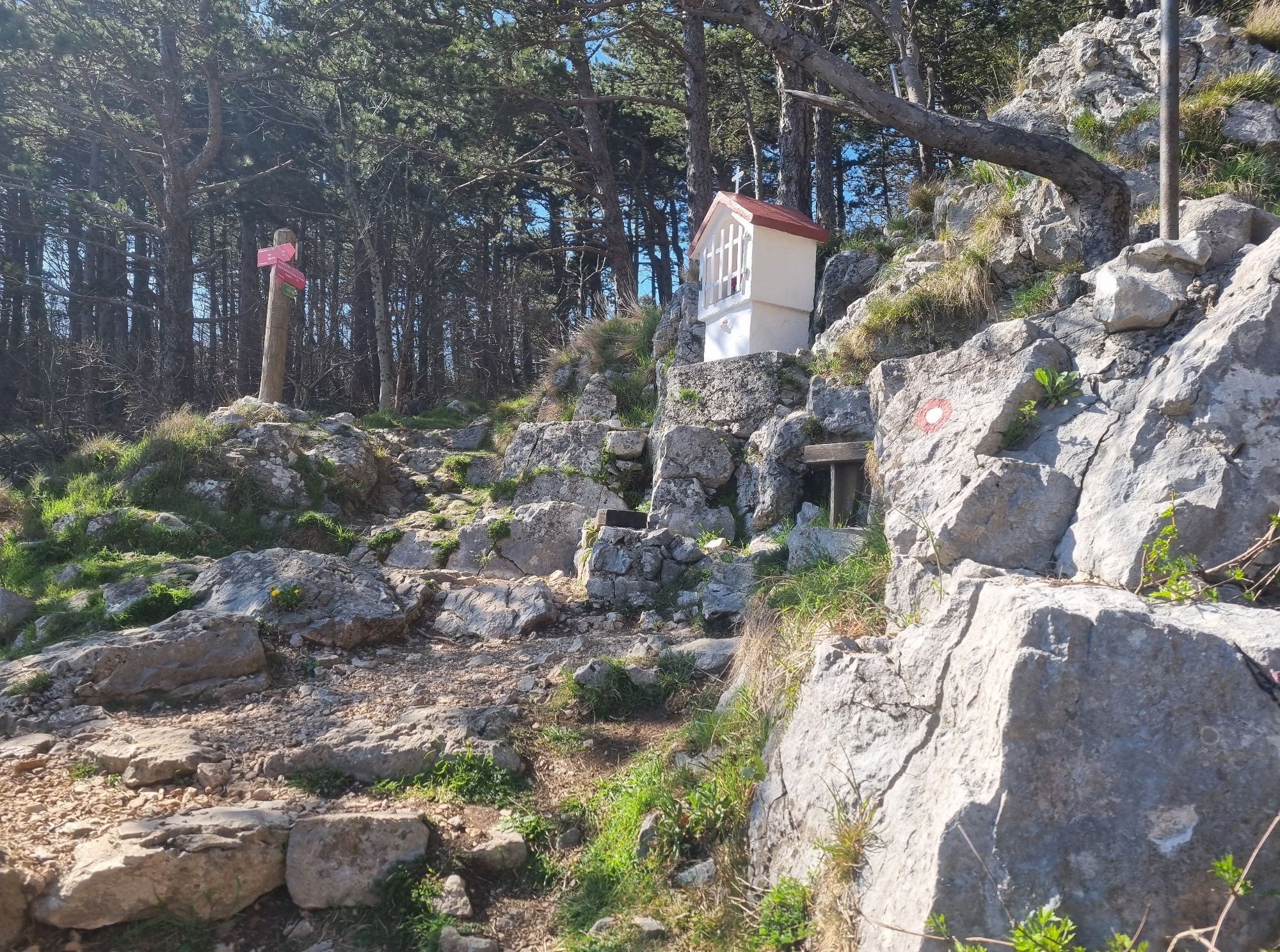
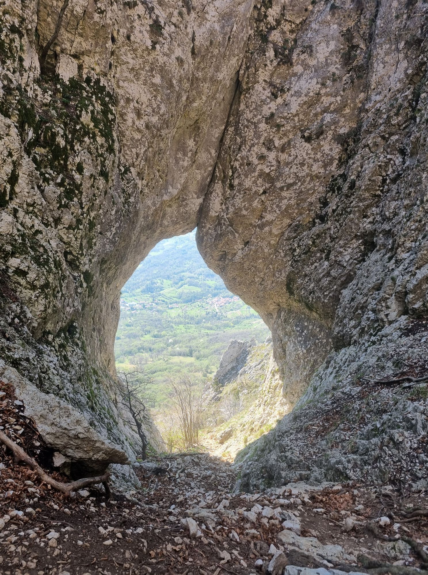
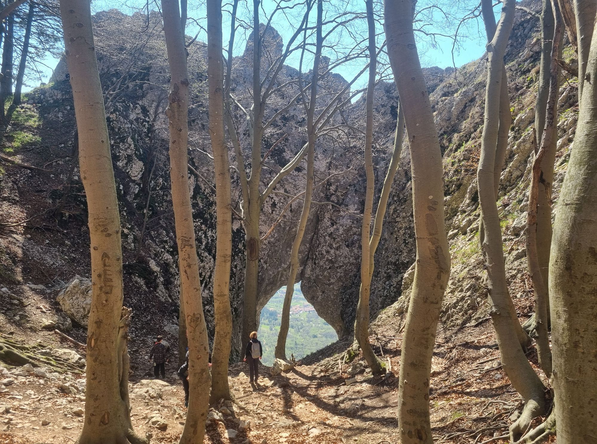
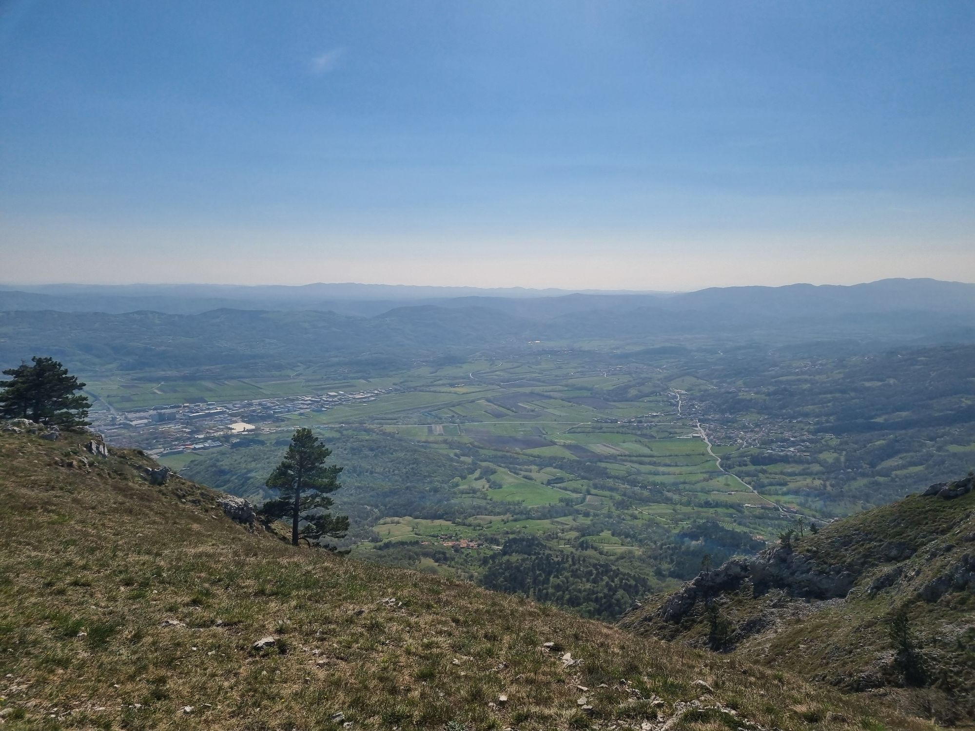
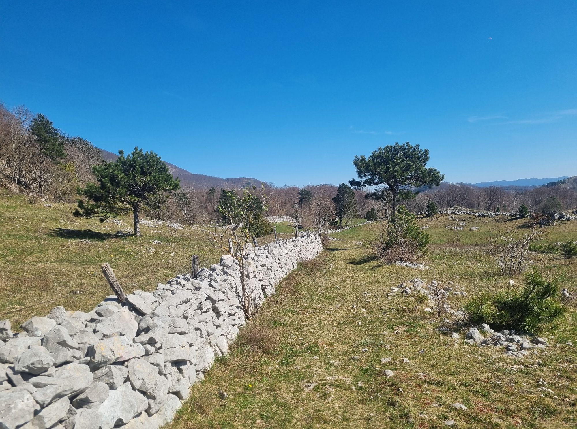
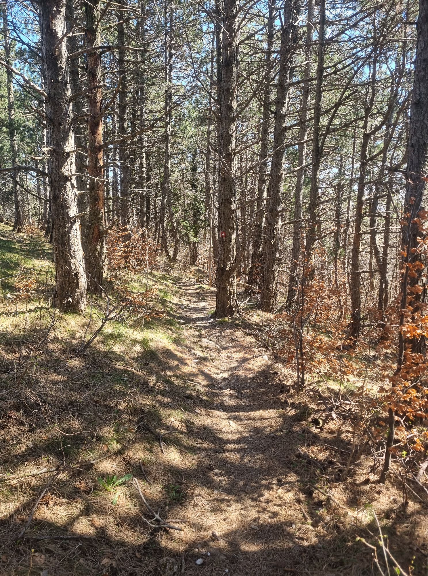
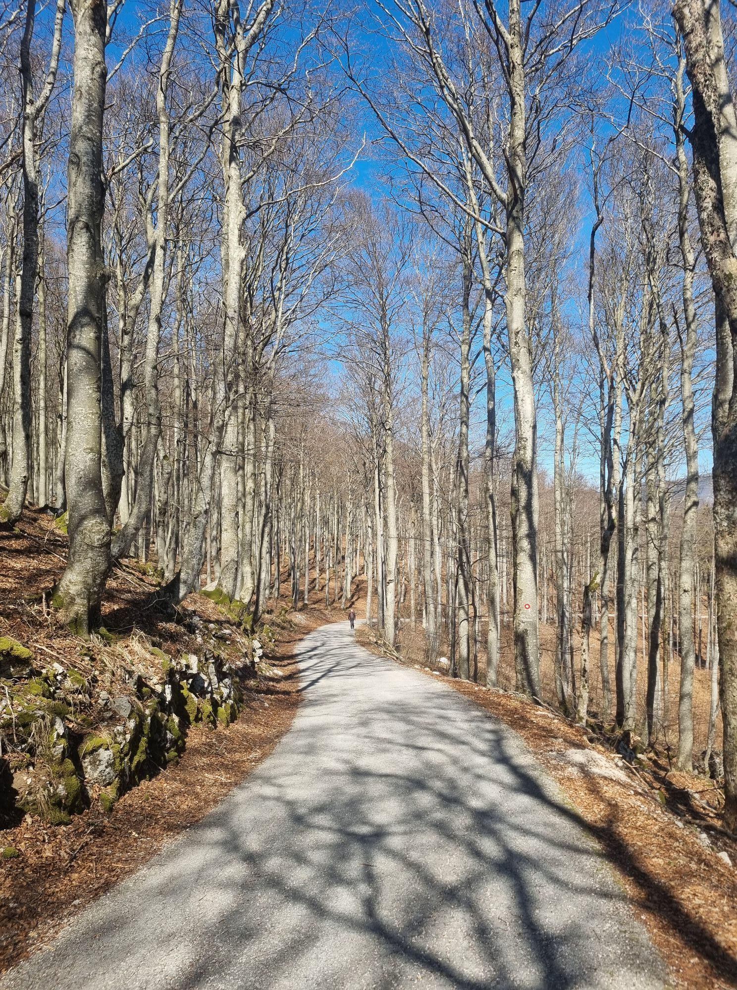
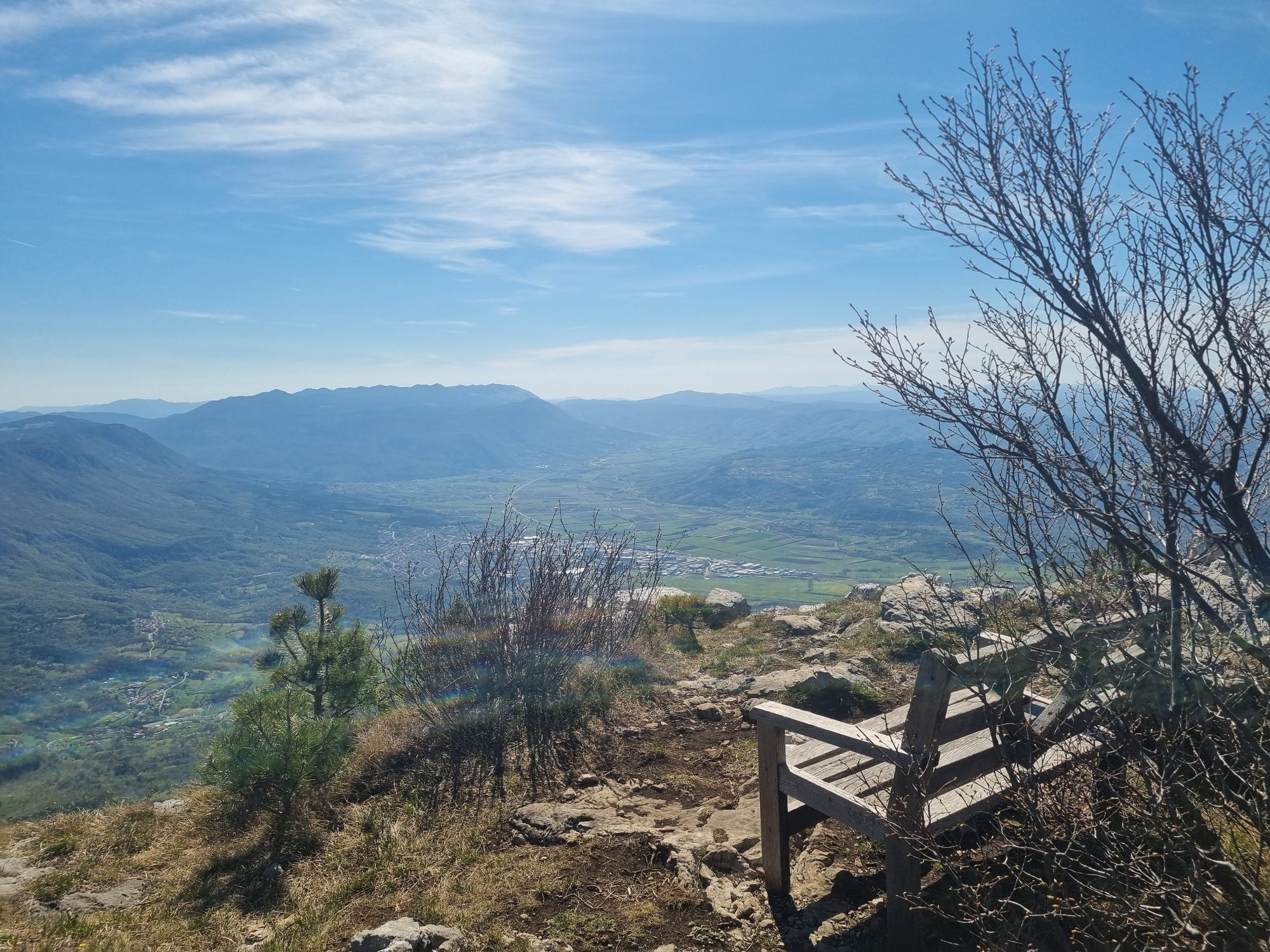
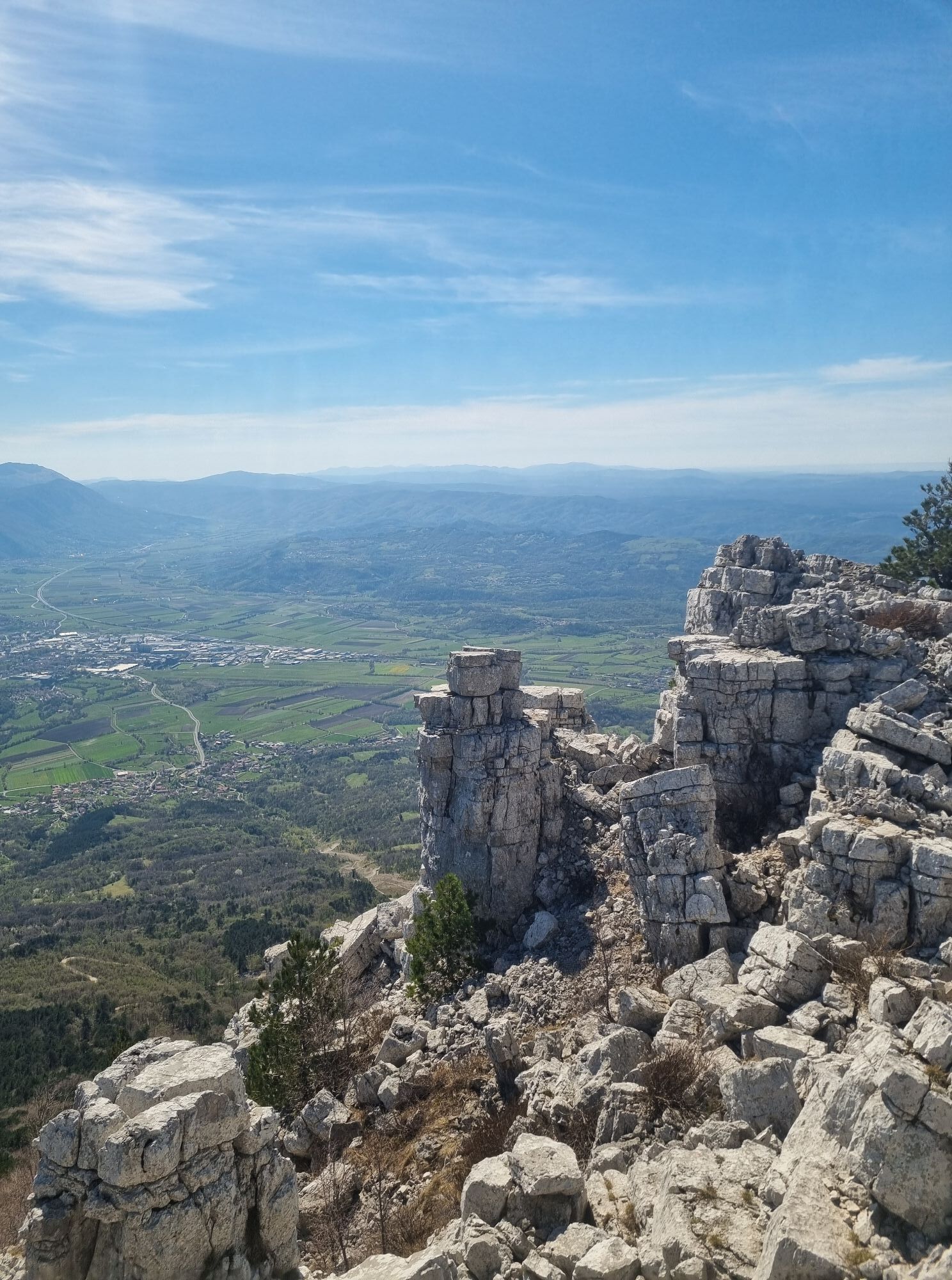
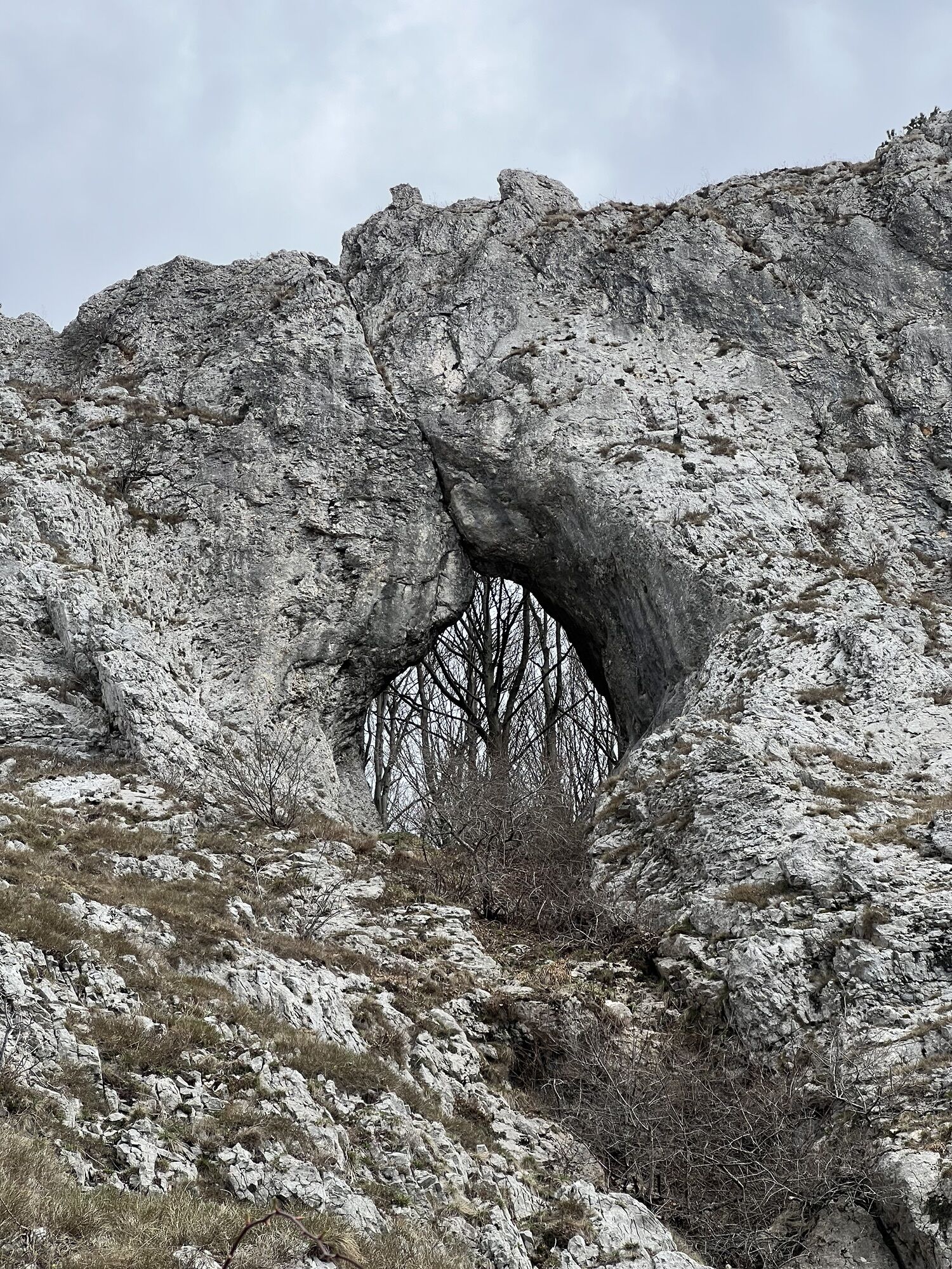
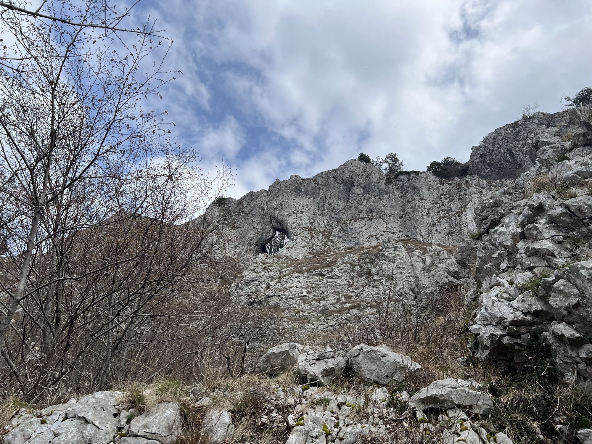
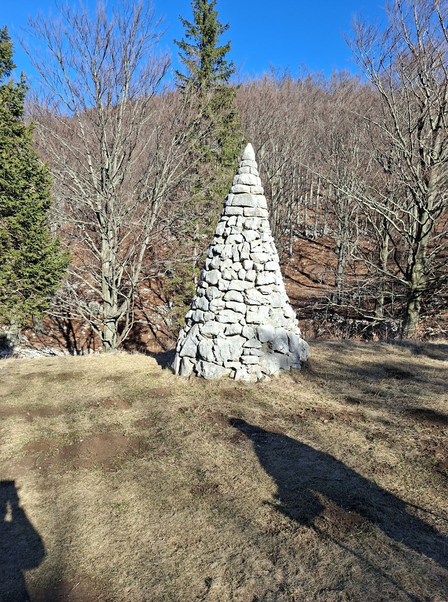
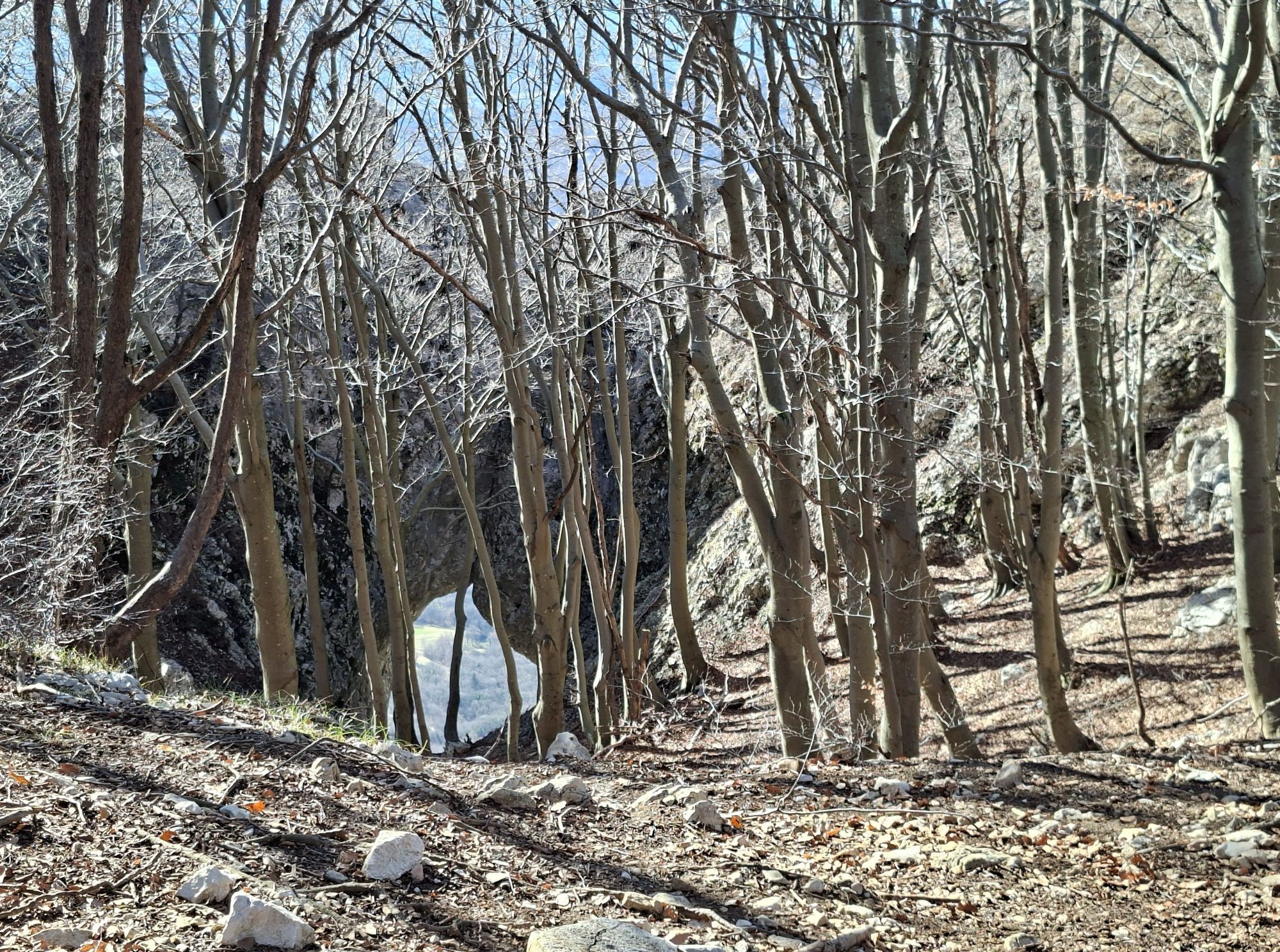
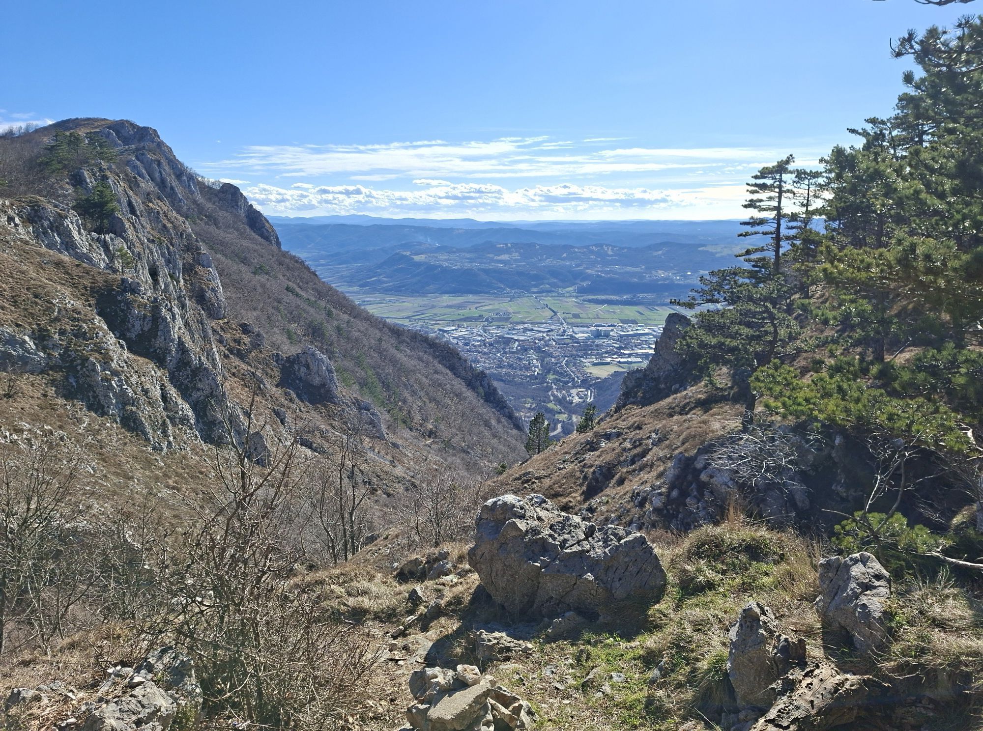
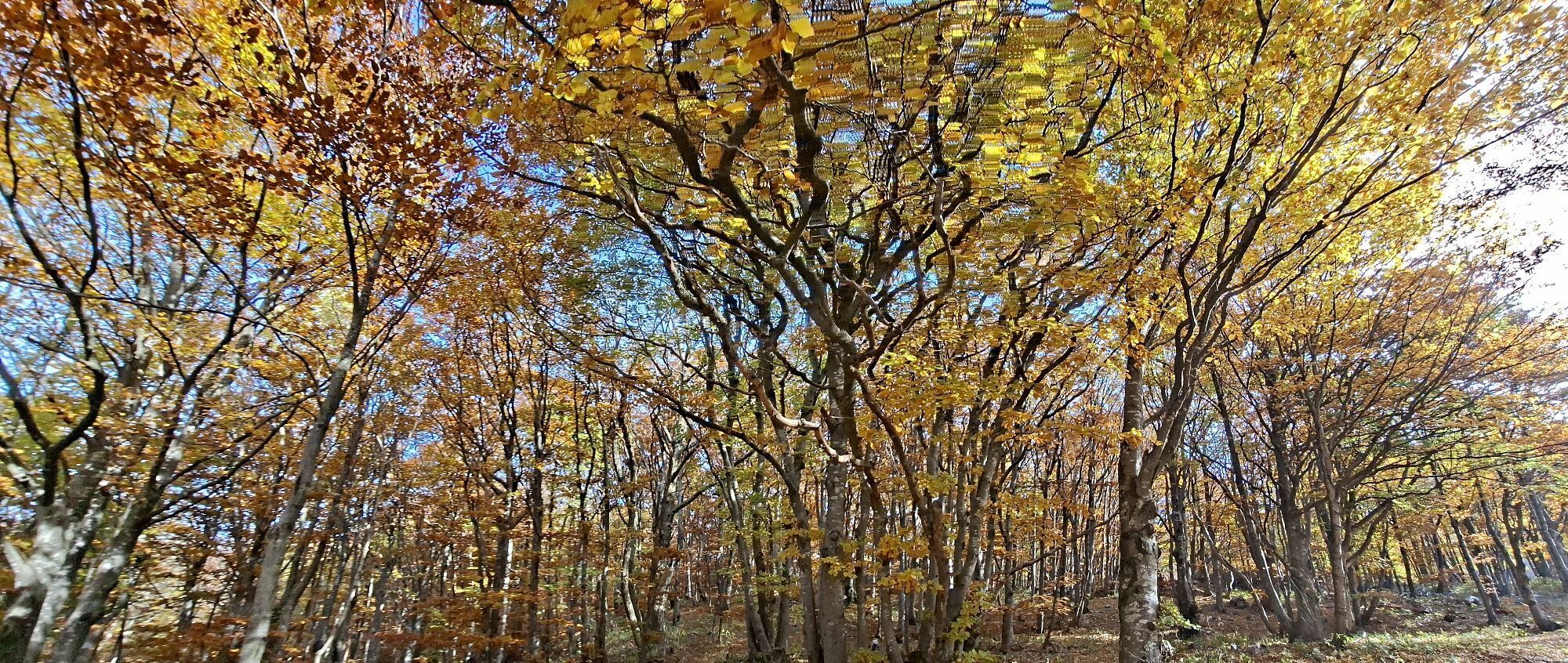
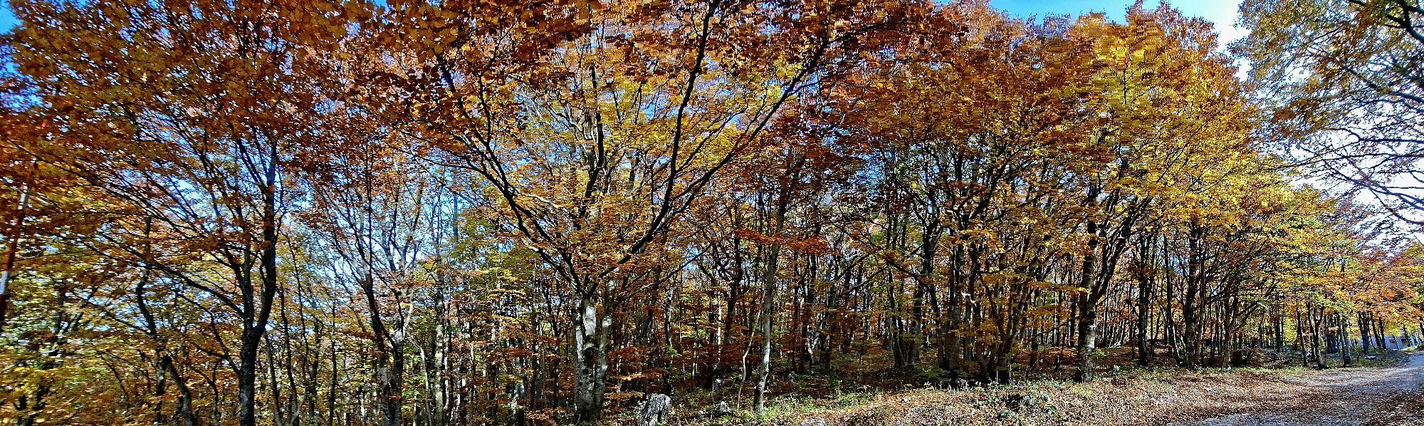
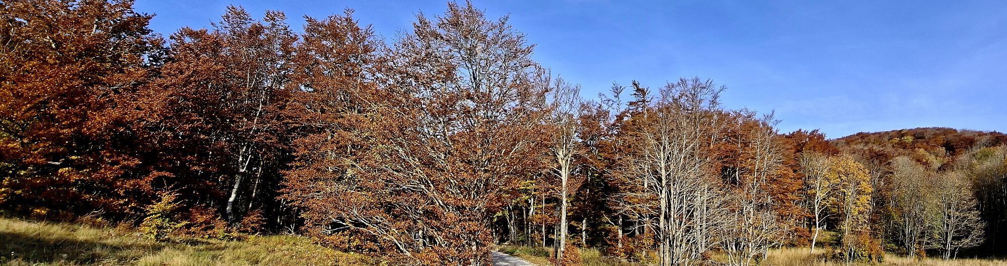
The Centurion Trail is the flagship long-distance trail running route of the Vipava Valley. Covering approximately 100 kilometres, it links vineyards, historic villages, limestone ridges, panoramic viewpoints...
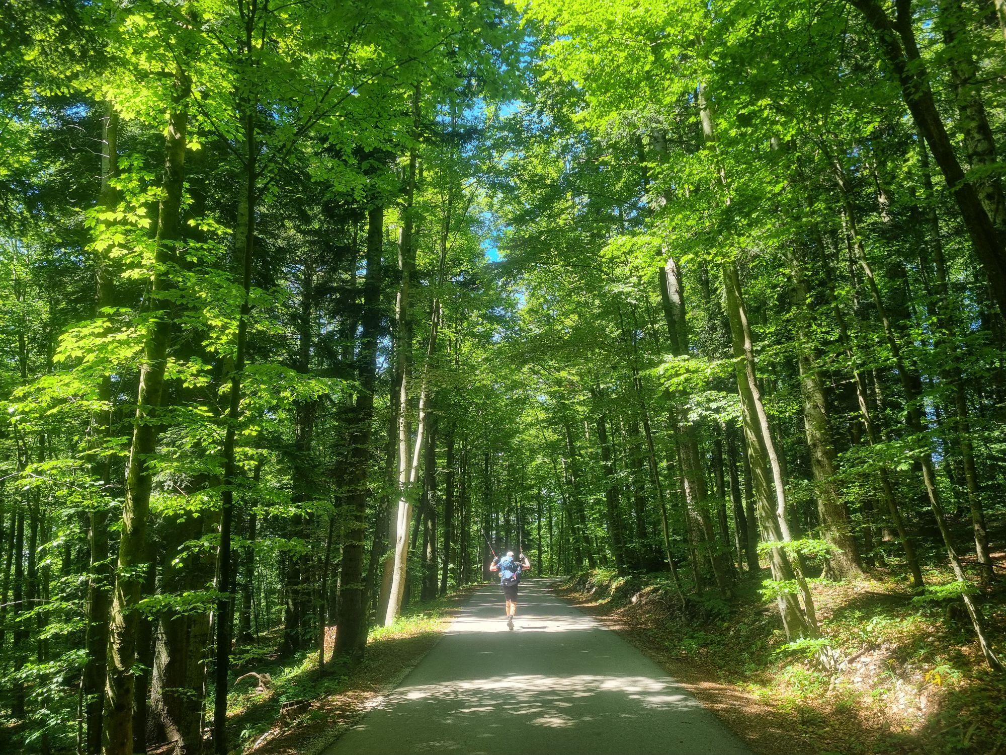
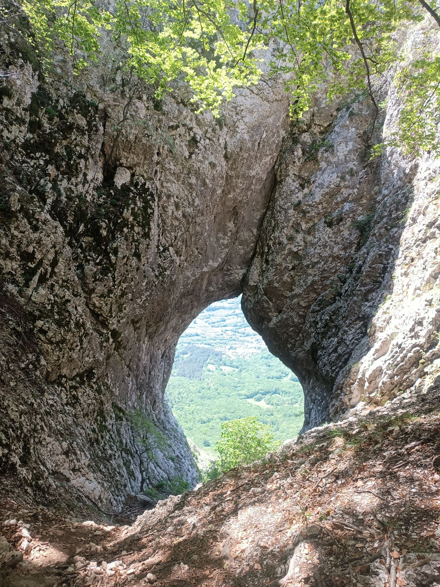
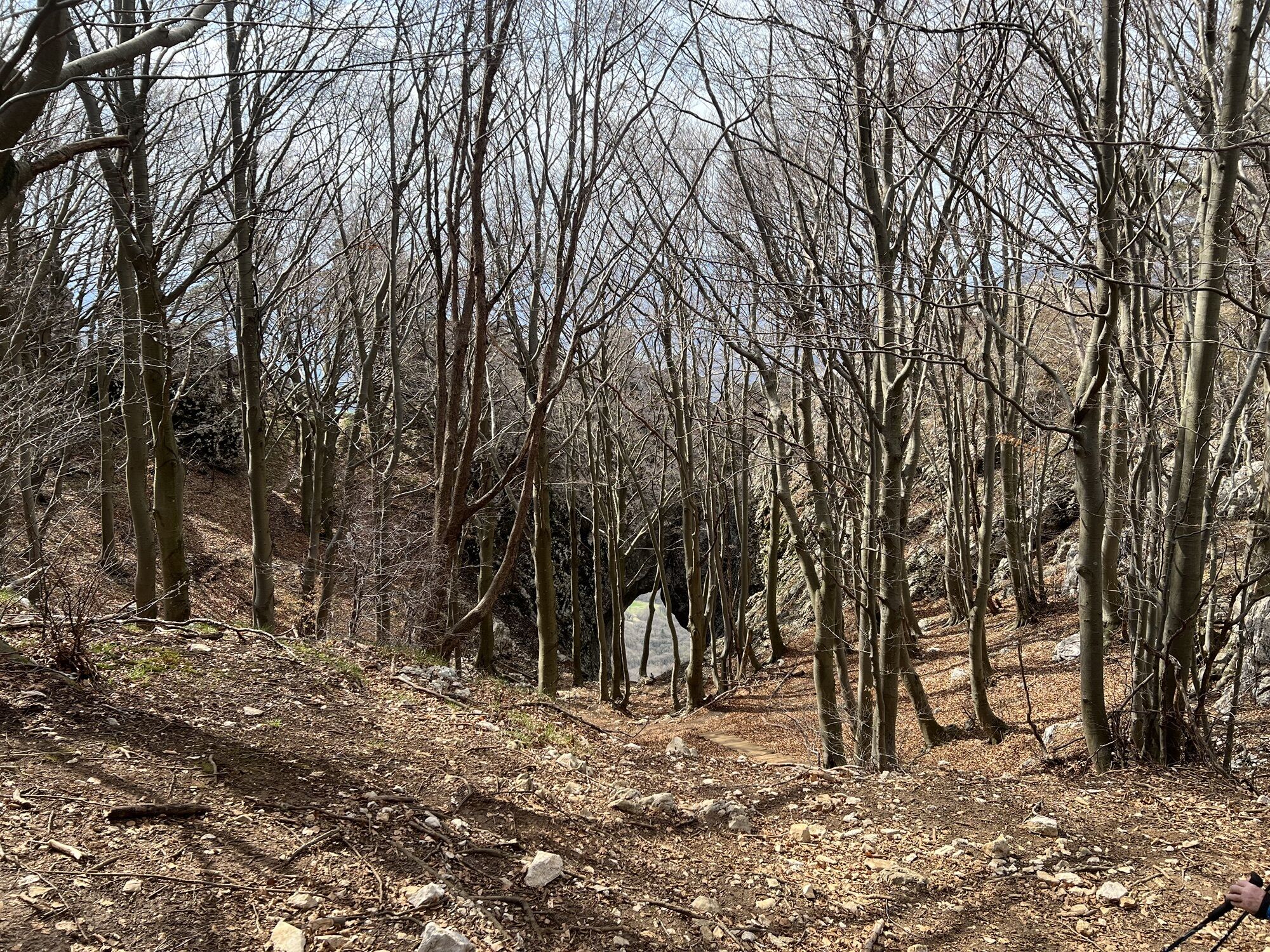
The Centurion Trail is the flagship long-distance trail running route of the Vipava Valley. Covering approximately 100 kilometres, it links vineyards, historic villages, limestone ridges, panoramic viewpoints and the forests of the Trnovo Plateau into one continuous adventure. Originally inspired by the Ultra Trail Vipava Valley event, the route is now a permanent destination trail that can be enjoyed throughout the year. Runners and hikers experience flowing forest trails, technical rocky sections, gravel roads and scenic ridgelines, including highlights such as the Otlica Window. With significant elevation gain and long distances between resupply points, the route is intended for experienced trail runners and well-prepared long-distance hikers. Whether completed in a single effort or over several stages, the Centurion Trail showcases the diverse landscapes, outdoor heritage and authentic character of the Vipava Valley.

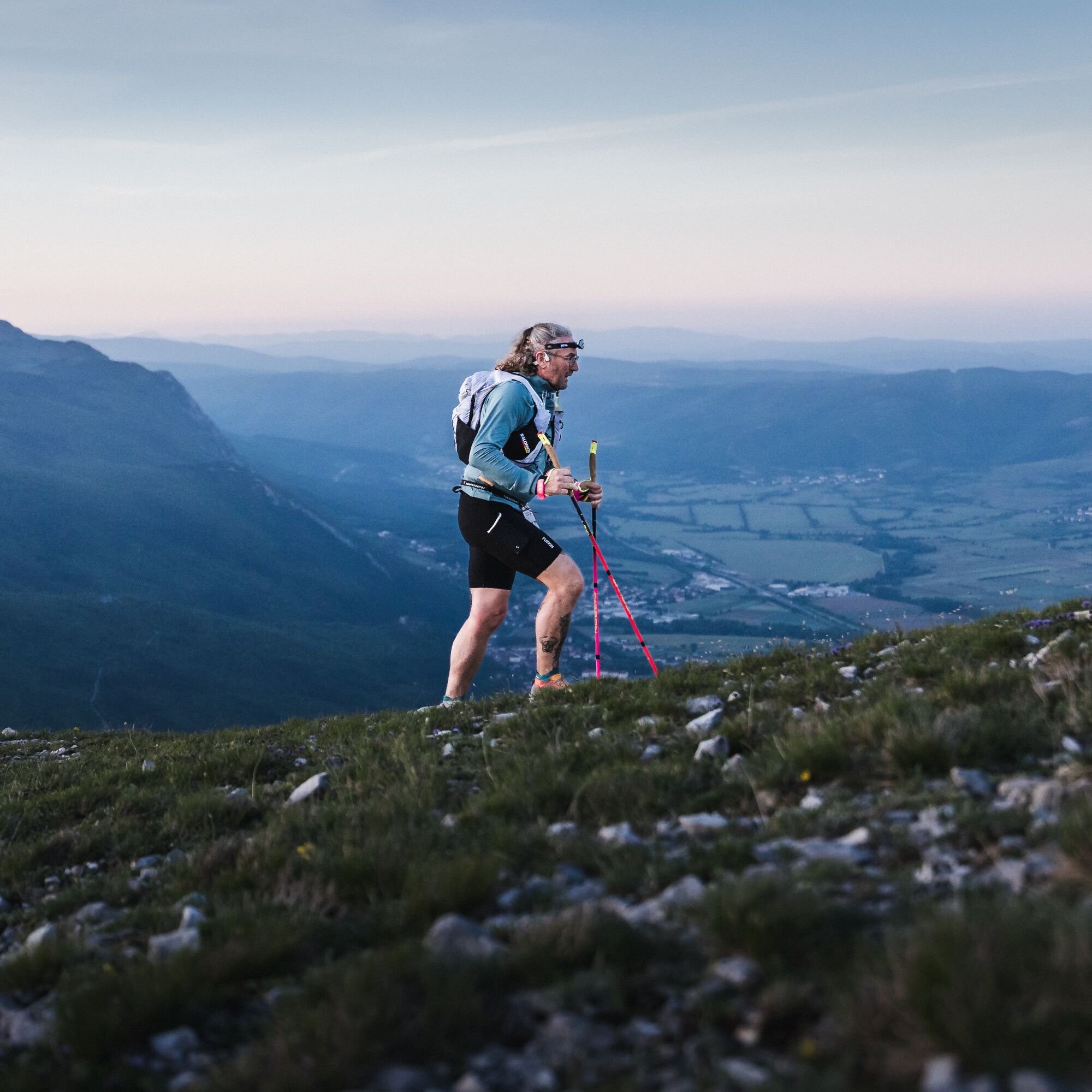
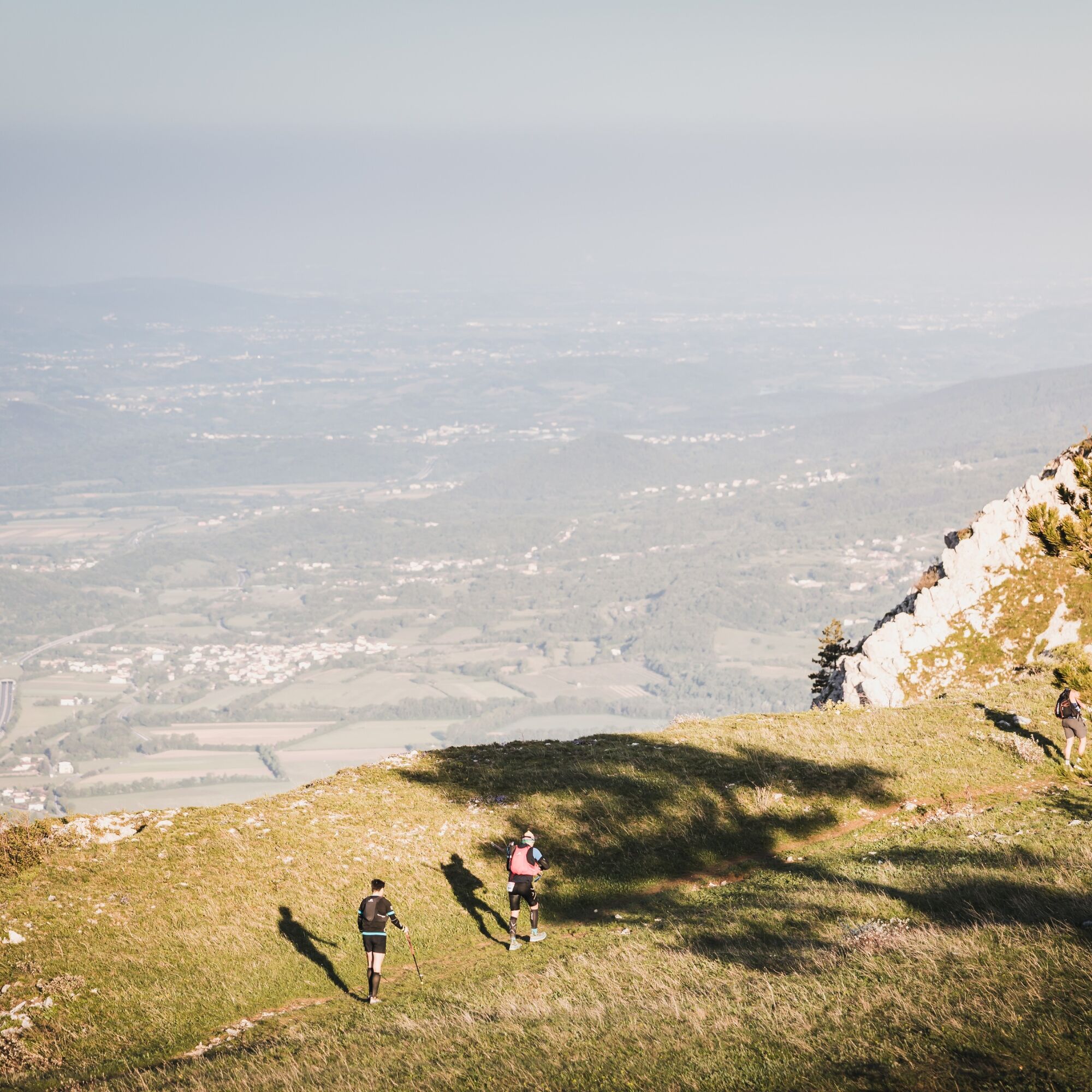

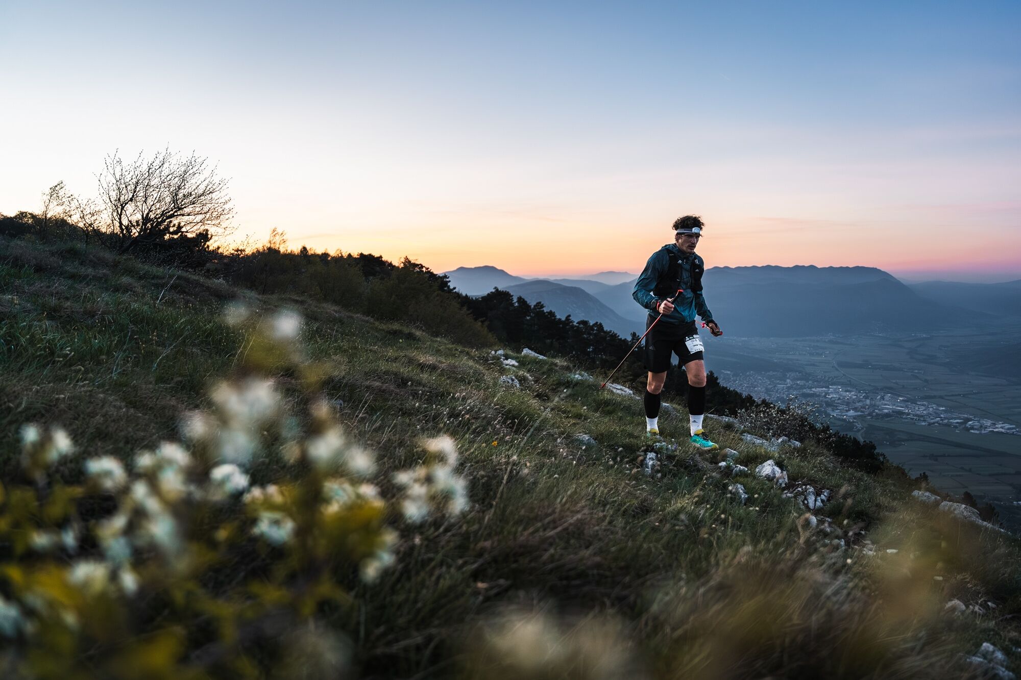
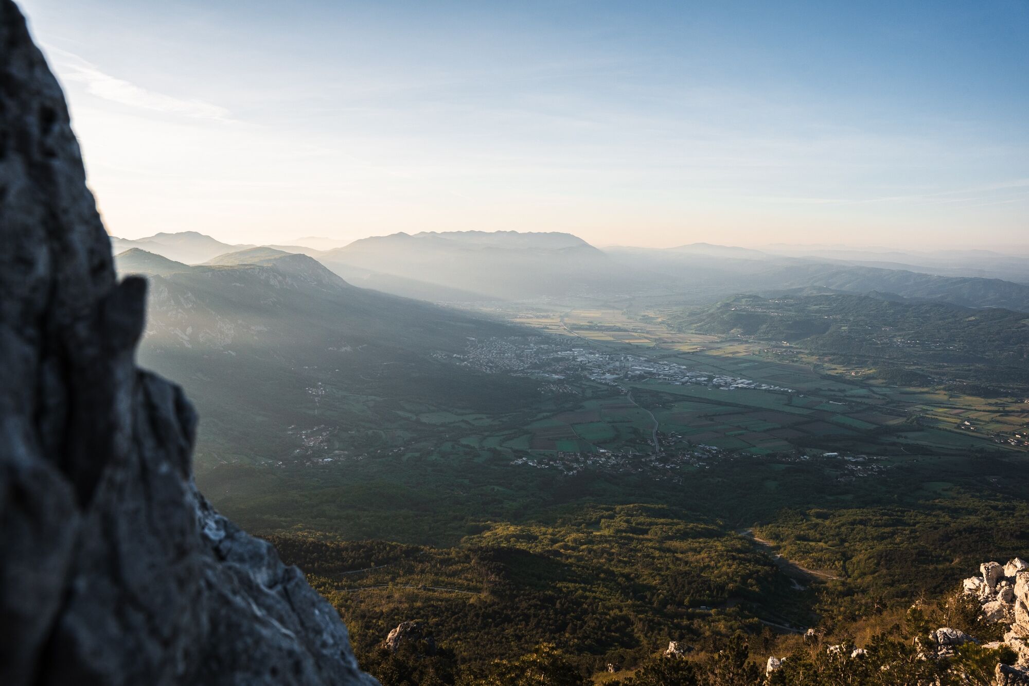
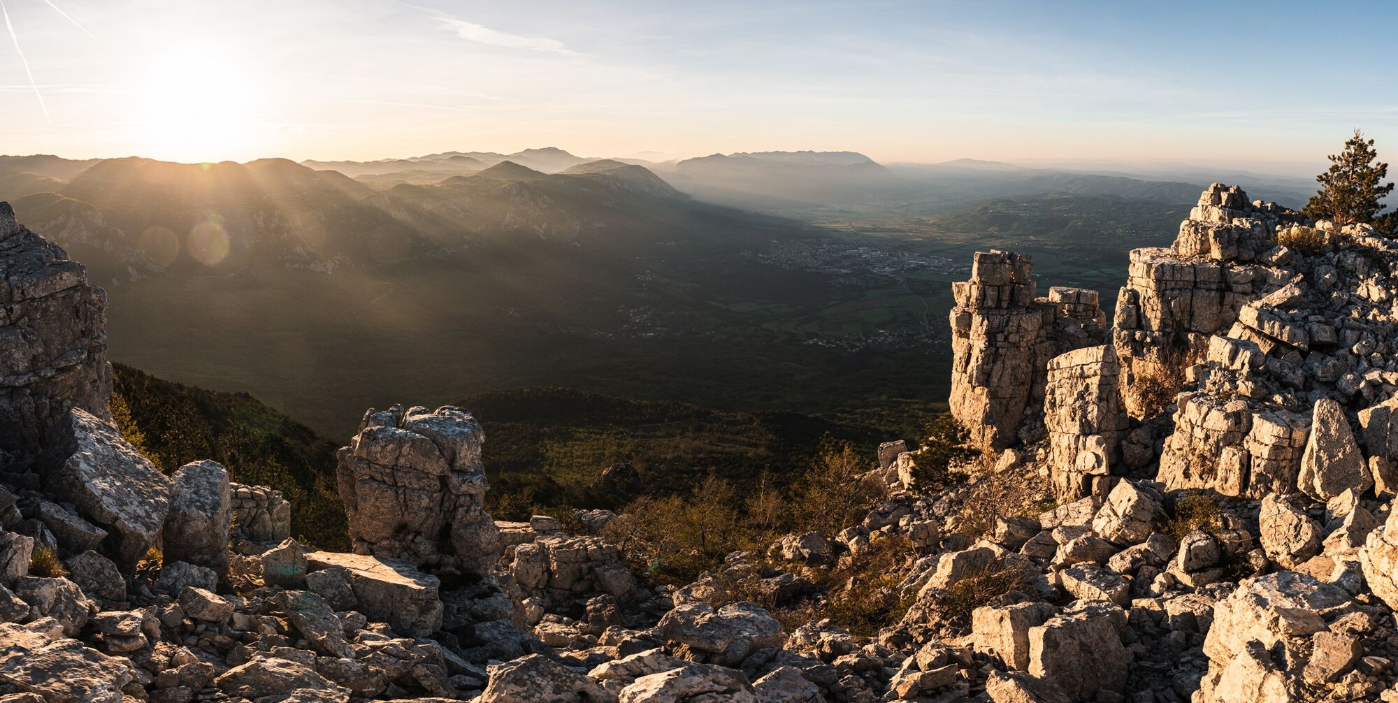
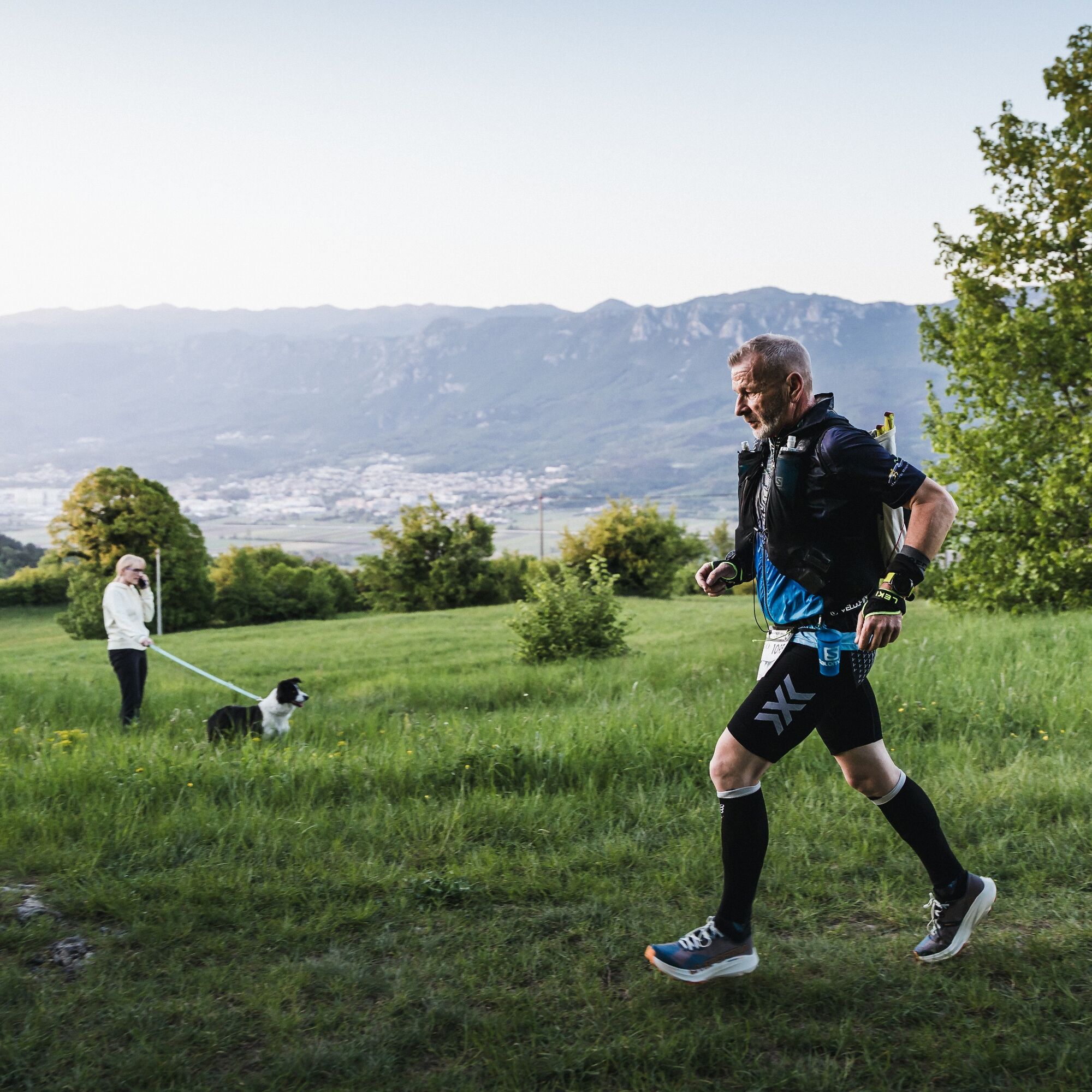

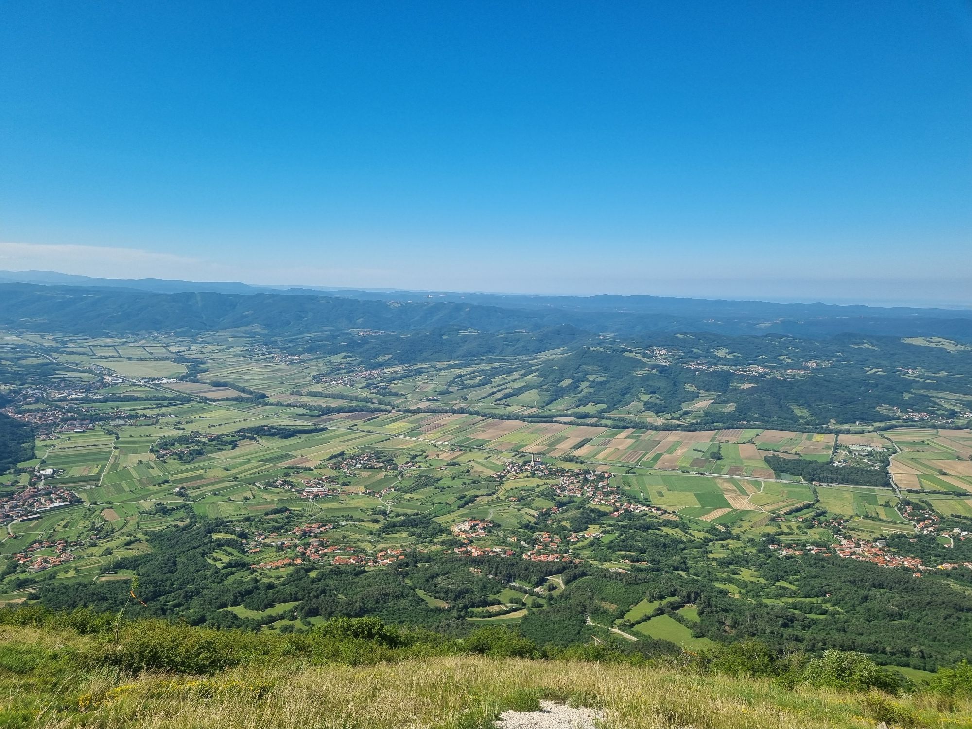
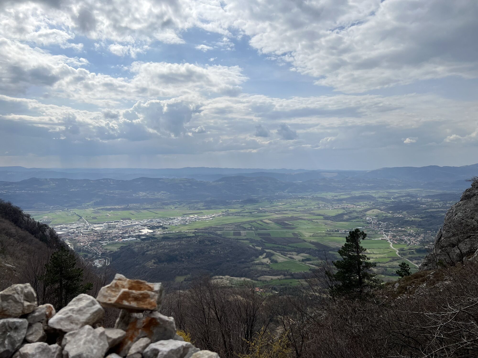
One of the defining highlights of the route is the long ascent to the Nanos Plateau. The climb rewards runners and hikers with spectacular views over the valley and marks the transition from cultivated landscapes to the rugged limestone terrain that characterises the mountain. The route then descends towards Vipava, preparing for the second major mountain section of the trail.
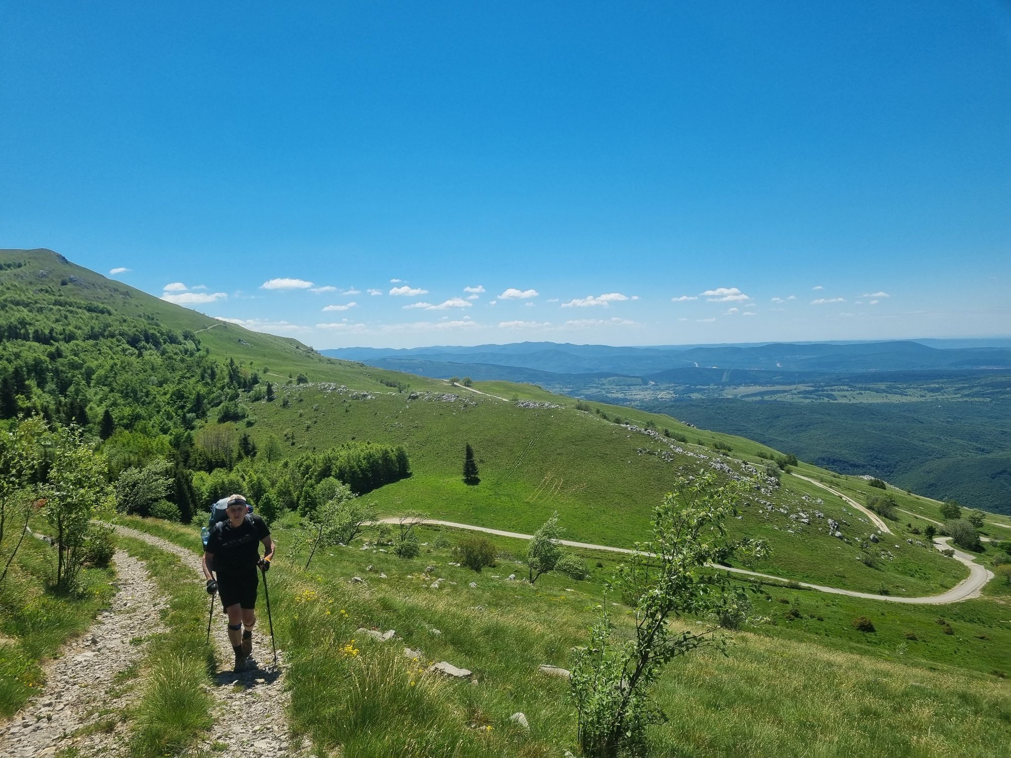
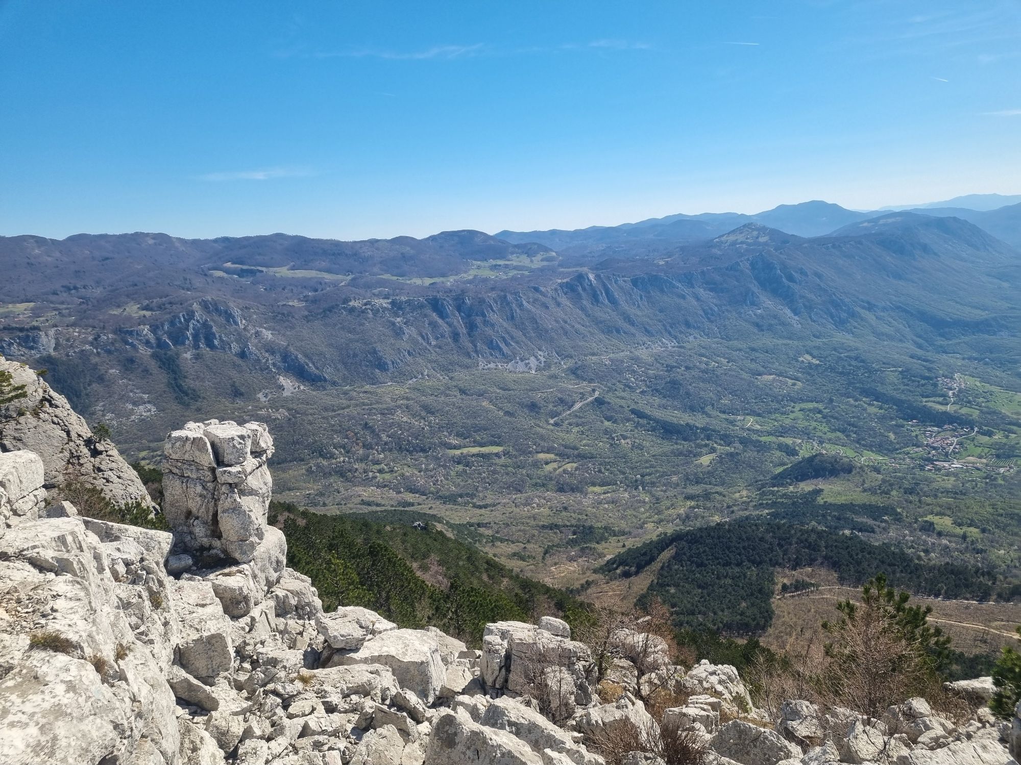
From Vipava, the trail ascends onto the Trnovo Plateau, where another unforgettable highlight awaits. Following the dramatic limestone edge above the Vipava Valley, the route traverses one of Slovenia's most scenic ridgelines, offering continuous panoramic views across the valley, the Kras and the surrounding peaks.
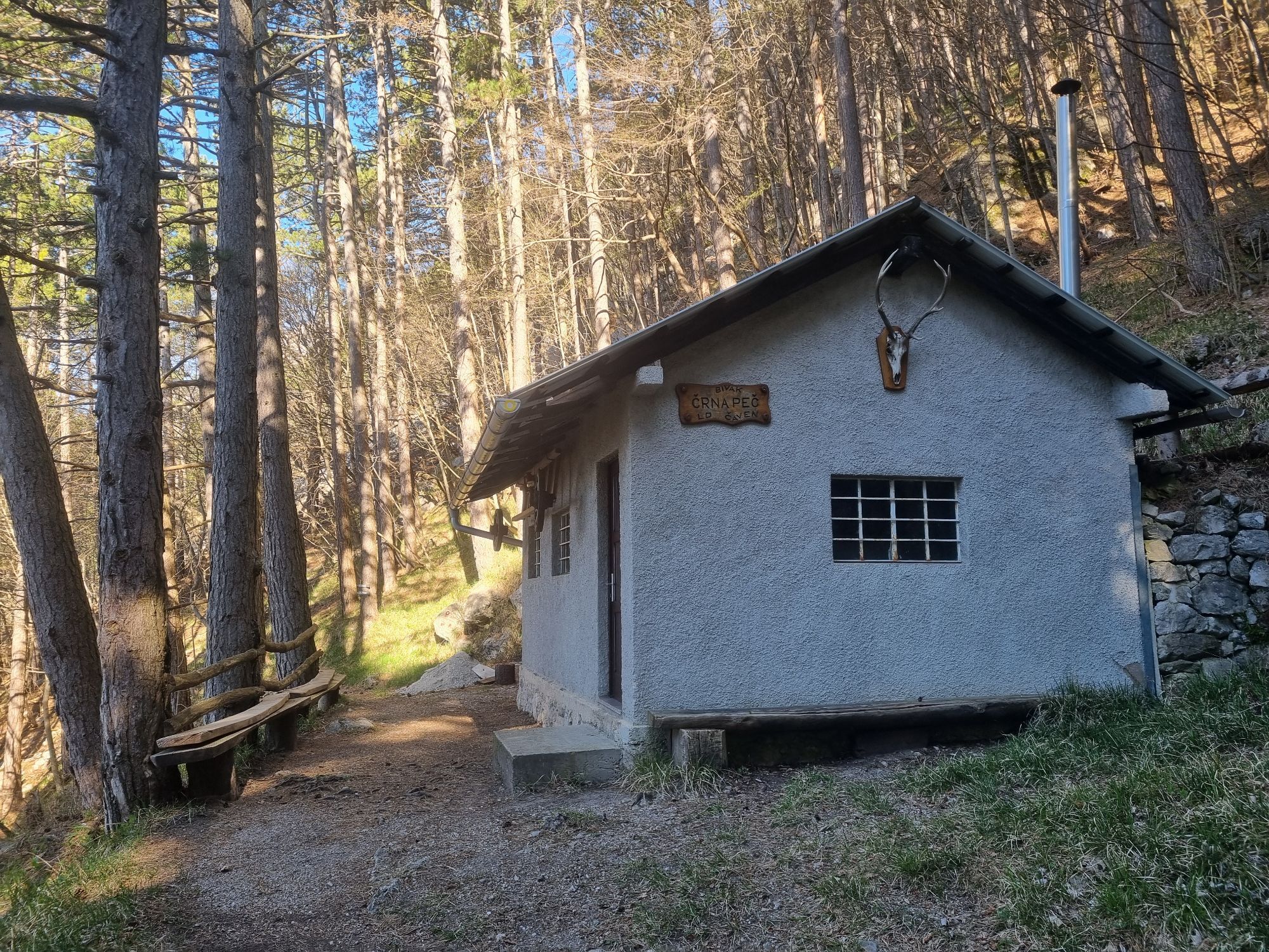
The trail continues towards Äaven, crosses Mala Gora, and gradually descends through the villages of Skrilje and Dobravlje. The final kilometres lead through the vineyards around Brje and the beautifully preserved medieval village of Vipavski Križ, before returning to AjdovšÄina and completing the 100-kilometre circuit.
Combining runnable singletracks, forest trails, gravel roads, technical limestone terrain and two major mountain ascents, the Centurion Trail showcases the full diversity of the Vipava Valley in one continuous long-distance adventure.
Ano
Ano
Ano
Trail running shoes with good grip
Hydration vest or backpack
Sufficient water and nutrition
Fully charged mobile phone
Offline GPX navigation
Weather-appropriate clothing
Windproof jacket
First aid kit
Emergency blanket
Headlamp if starting early or finishing after dark
Trekking poles (optional, particularly useful for hikers)
The route includes long distances between resupply points, exposed limestone terrain, forest sections and significant elevation gain. Weather conditions can change rapidly, particularly on the Nanos and Trnovo Plateau, where strong burja winds, fog or thunderstorms may affect visibility and safety.
Carry sufficient water, food and navigation equipment, check the weather forecast before departure and ensure you are physically prepared for the demands of the route.
Always respect local regulations, private property and seasonal trail conditions.
The Centurion Trail starts at the Main Square (Lavričev trg) in the centre of Ajdovščina. Ajdovščina is easily accessible by car via the H4 motorway (Exit Ajdovščina) and by regional roads from Nova Gorica, Vipava and Postojna. The trailhead is located within walking distance of the main bus station, public parking areas, shops, restaurants and other visitor services.
AjdovšÄina is well connected by regional bus services from Nova Gorica, Ljubljana and other Slovenian towns. The trail starts and finishes within walking distance of the town centre, allowing easy access without a car.
Public transport schedules may vary throughout the year. Check current timetables before travelling.
Several public parking areas are available in AjdovšÄina, including long-stay parking within walking distance of the trailhead.
Please use designated parking areas only and follow local parking regulations.
T2
Spring and autumn provide the best running conditions and the clearest panoramic views.
Divide the route into multiple stages if you wish to explore the Vipava Valley at a more relaxed pace.
Refill water whenever possible, especially during warmer months.
Take time to visit local wineries, villages and viewpoints along the route.
Download the GPX track before departure, as mobile coverage may be limited in some forested sections.
Respect nature, wildlife and local communities by following Leave No Trace principles.
Start early, carry enough water and enjoy the route over several stages to experience the landscapes, villages and gastronomy of the Vipava Valley.
Oblíbené prohlídky v okolí
-
4.5
Nanos
středníTuristika 7.51 km -
4.0
Přírodní okno Otlica
středníTuristika 10.5 km -
Gradiška Tura (via ferrata) – Abram
heavyVia ferrata 11.9 km -
5.0
Razdrto - Pleša - Vojkova koča na Nanosu
středníTuristika 5.45 km -
5.0
Vipava - Oltar - Gradiška Tura
středníTuristika 3.85 km -
5.0
Edge route
světloTuristika 14.5 km -
Along the Hubelj on the natural science educational trail
světloTuristika 3.79 km -
2.0
Upper Vipava Valley
světloJízda na kole 34.2 km -
On Vertovec's paths
světloTuristika 17.7 km -
Skrlanka Circular Route
světloTuristika 5.75 km
Pěší turistika a stopování


Nenechte si ujít nabídky a inspiraci pro vaši příští dovolenou
Vaše e-mailová adresa byl přidán do poštovního seznamu.





