


Nanos
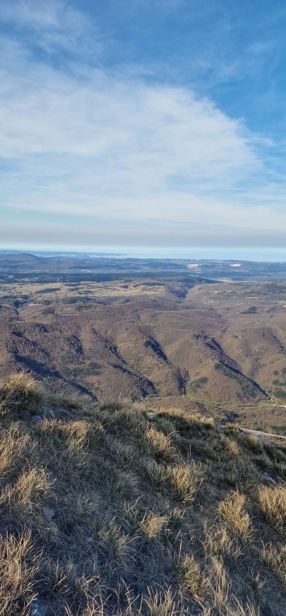
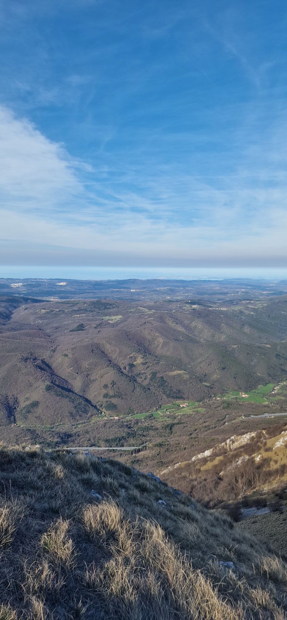

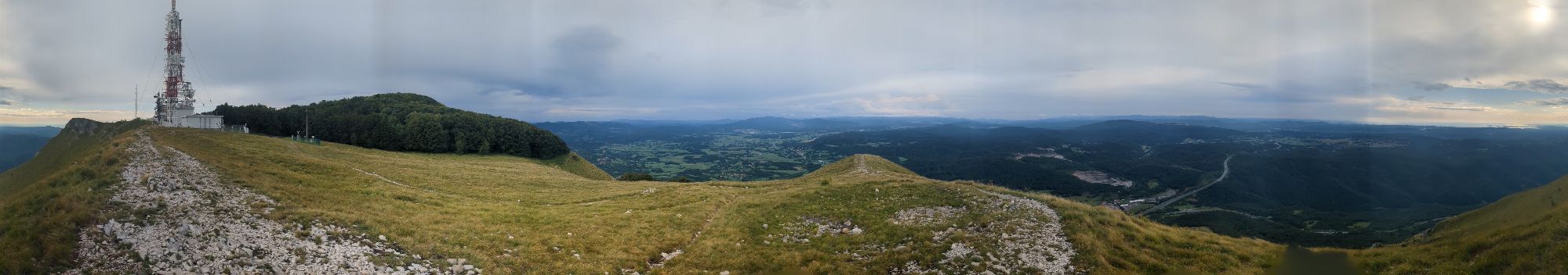
The most popular hiking route in the Vipava Valley offers various levels of difficulty for more or less prepared hikers. At the top, it offers everyone a beautiful view of the Vipava Valley across the...
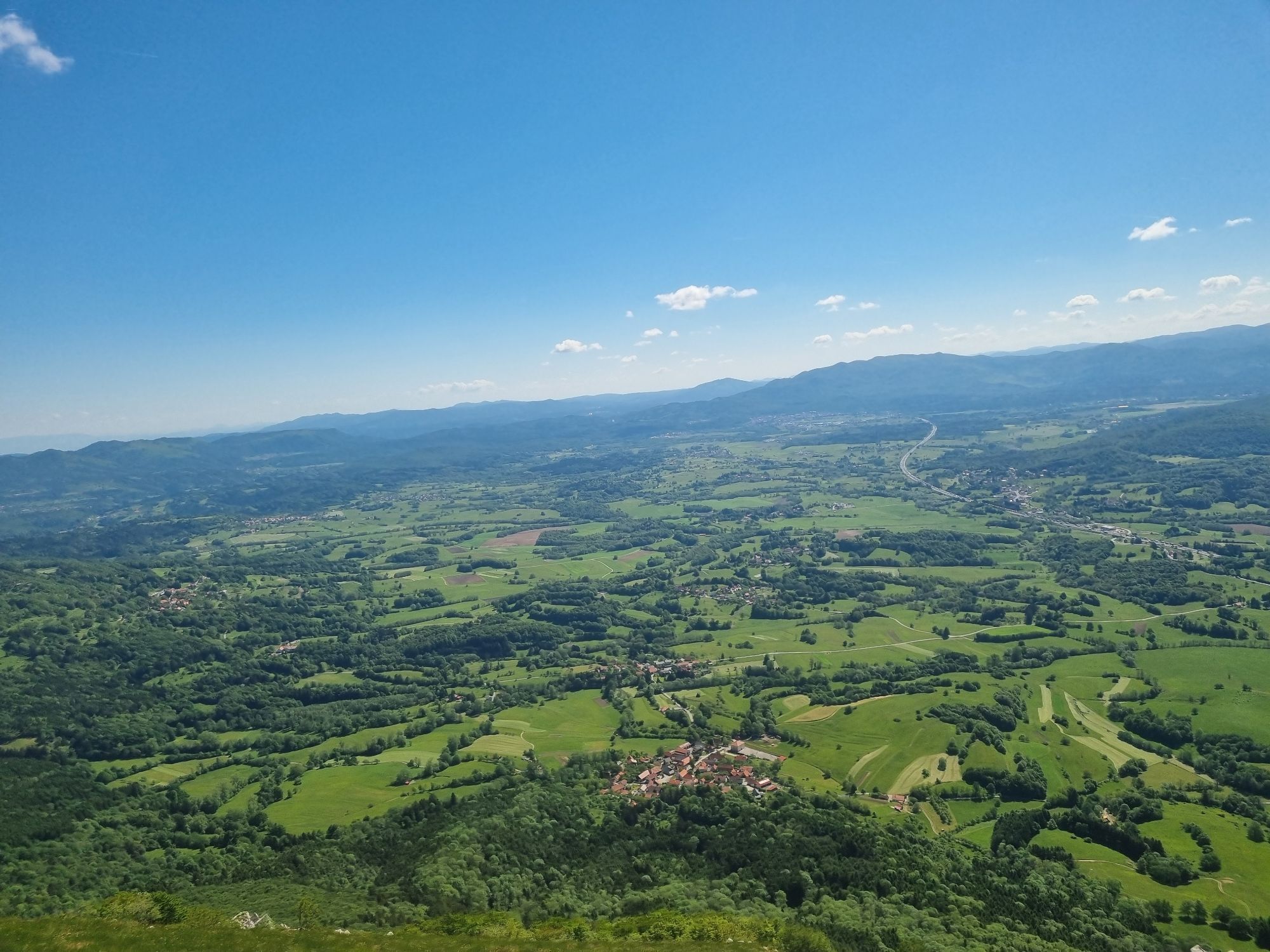
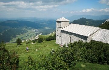
The most popular hiking route in the Vipava Valley offers various levels of difficulty for more or less prepared hikers. At the top, it offers everyone a beautiful view of the Vipava Valley across the Karst all the way to the Adriatic Sea on one side, the Ljubljana Basin on the other, and the Julian Alps with Triglav.
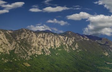
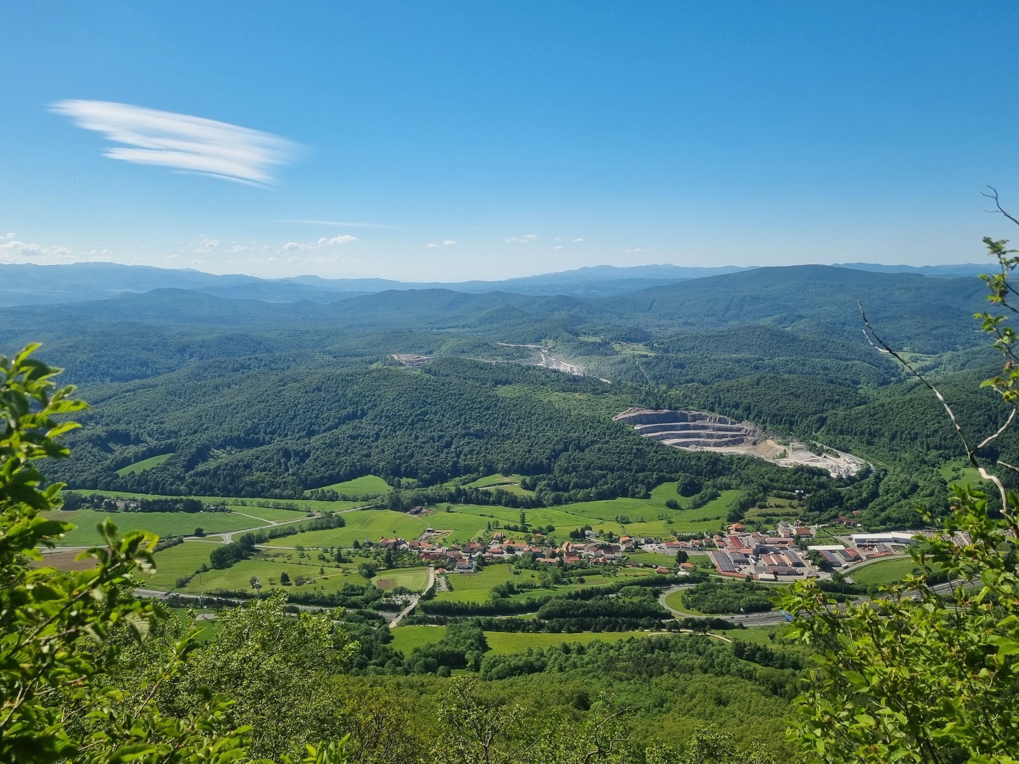
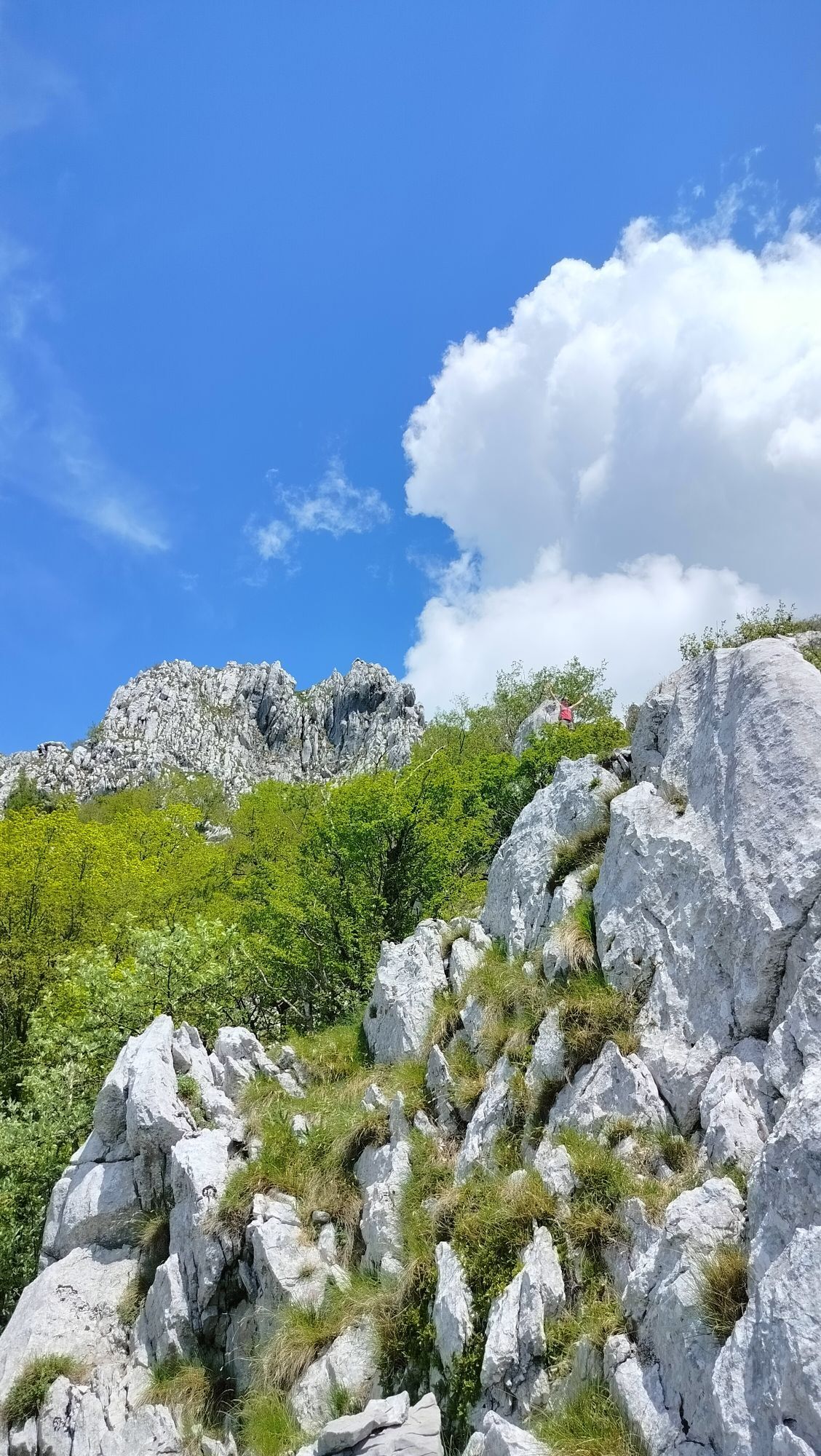
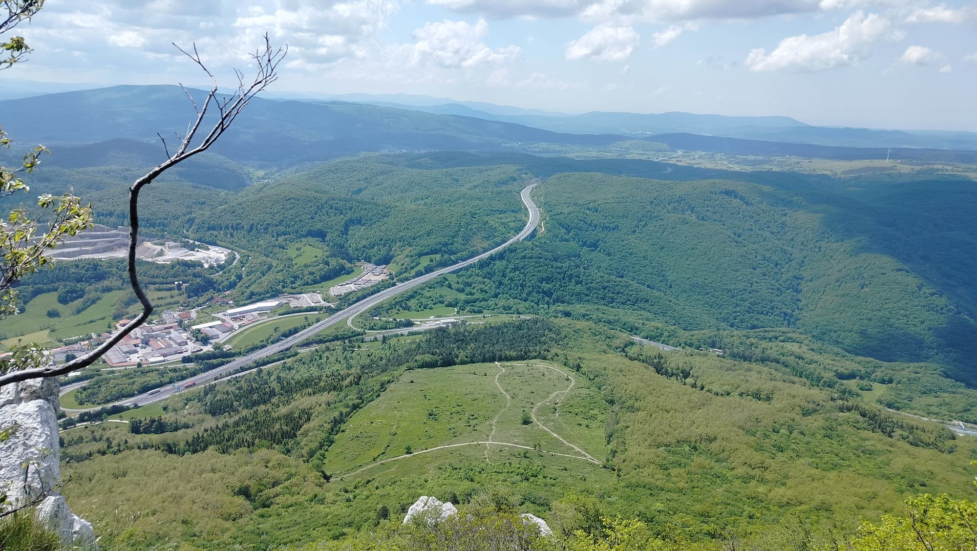
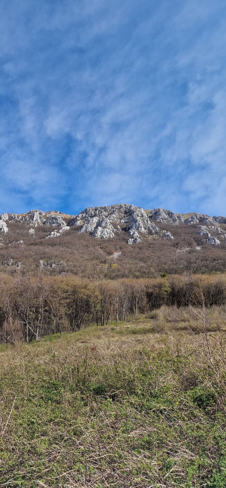
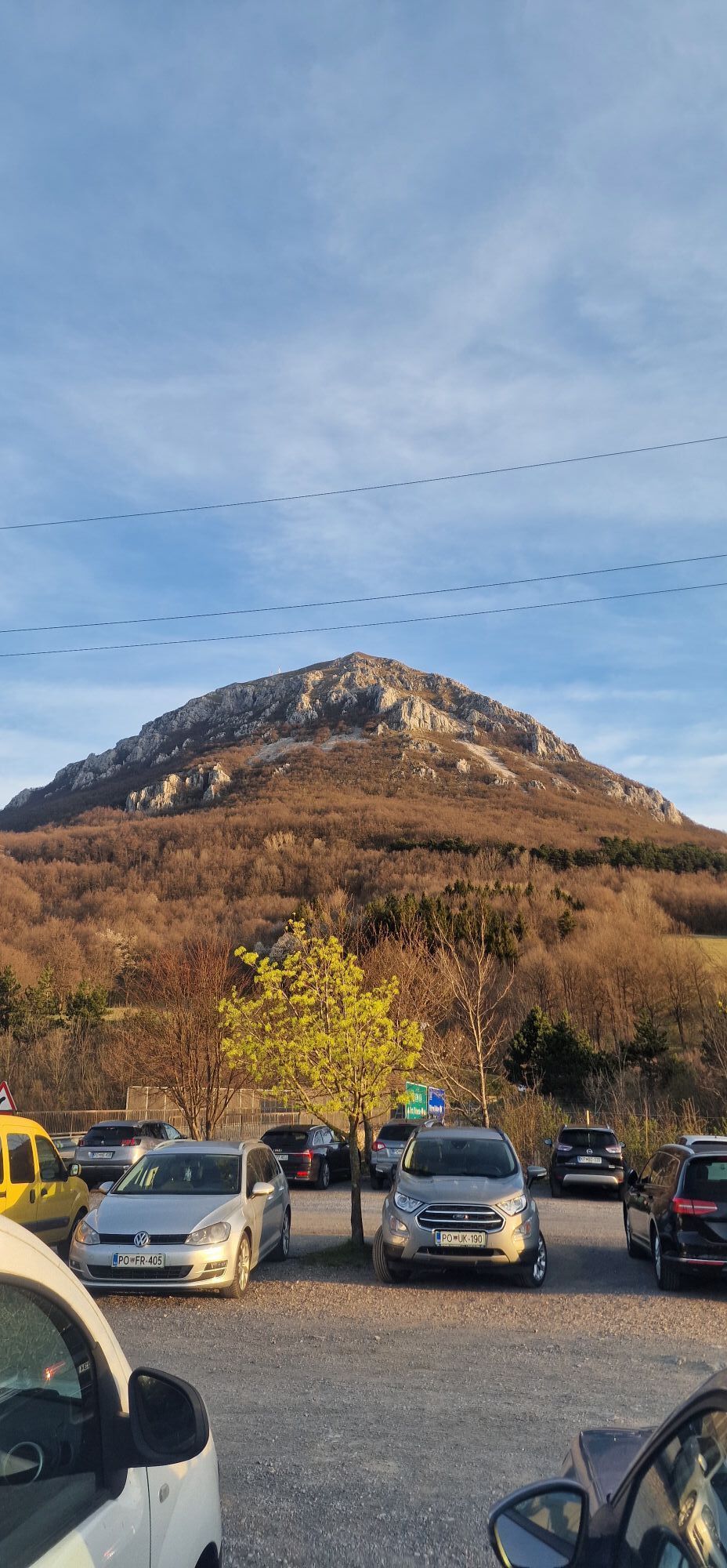
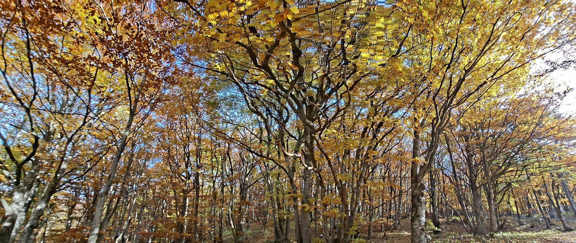
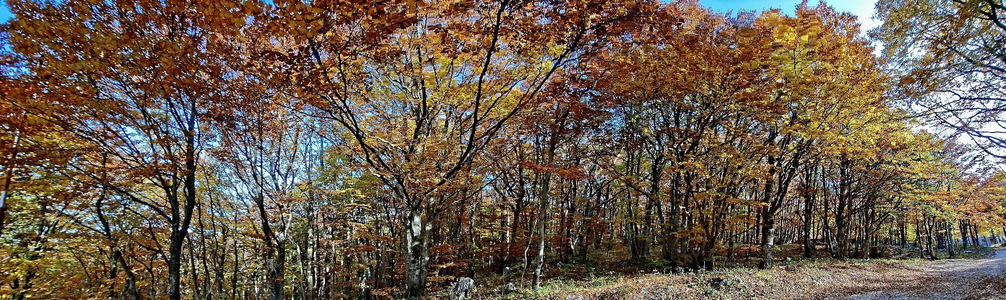
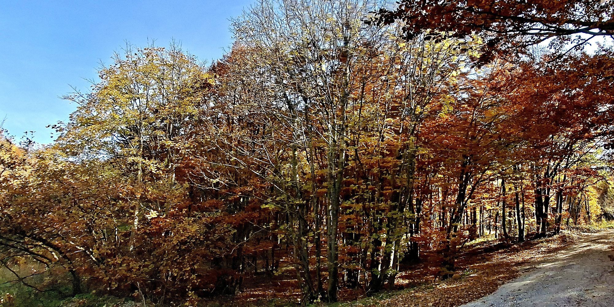
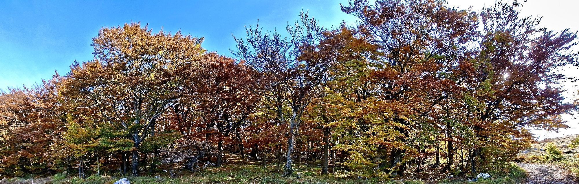
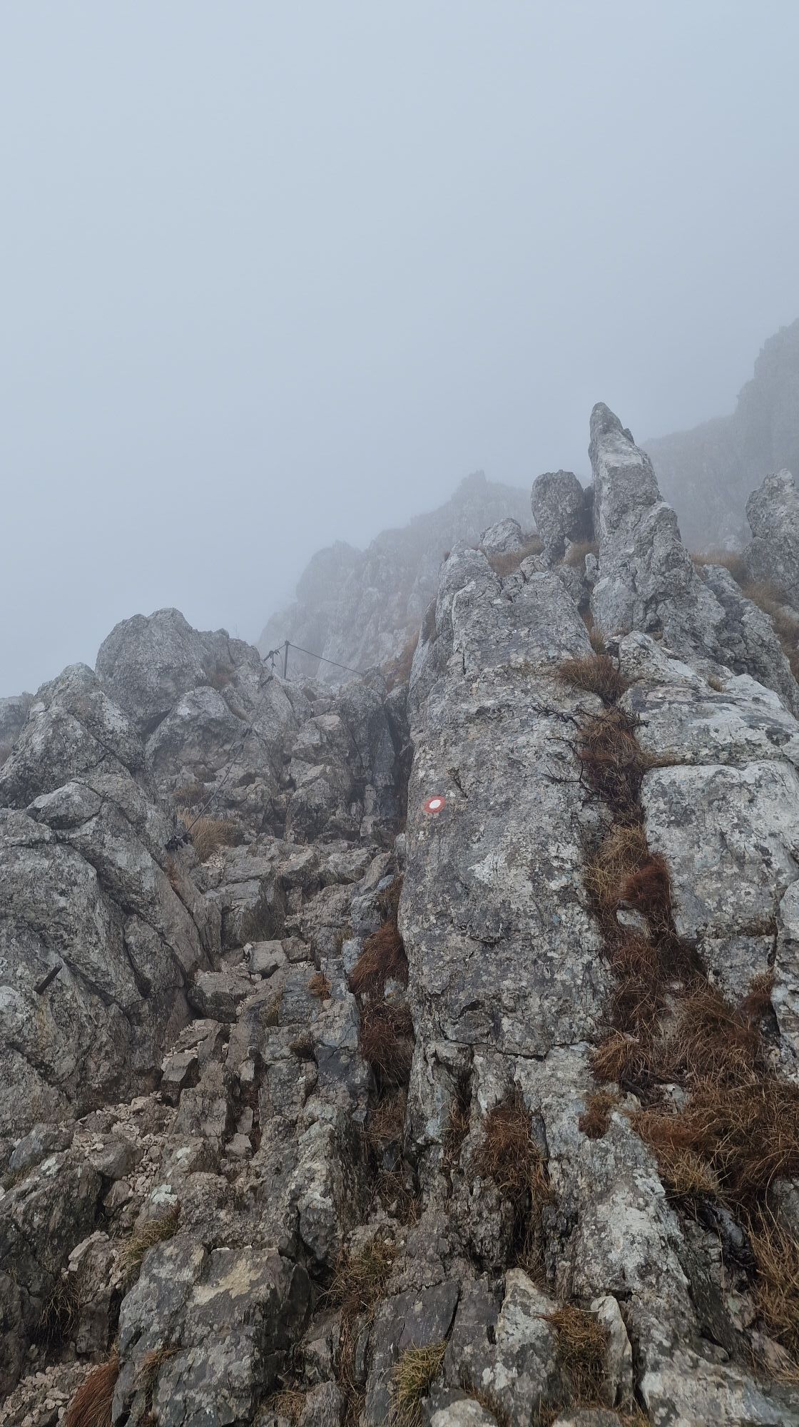
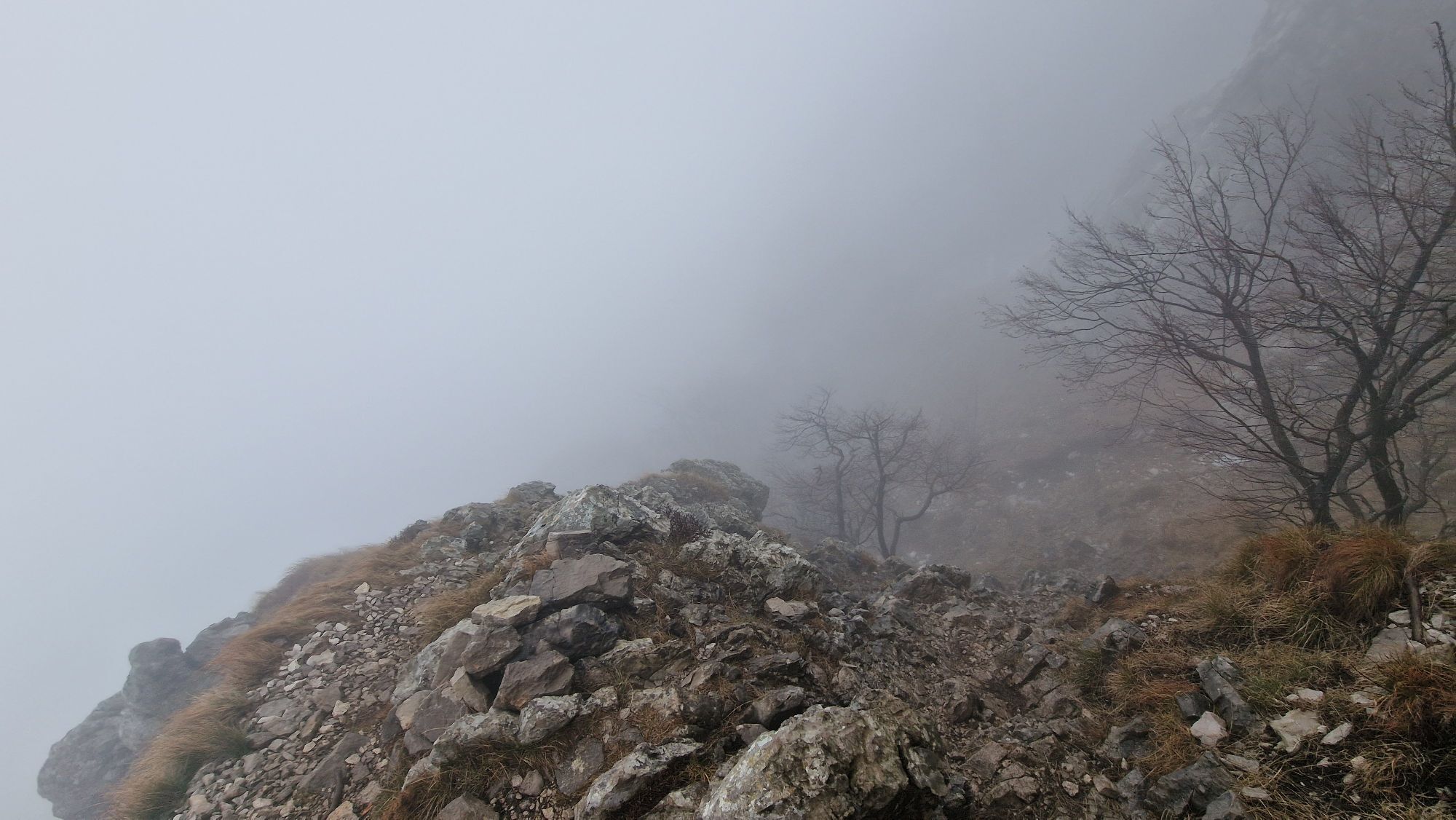
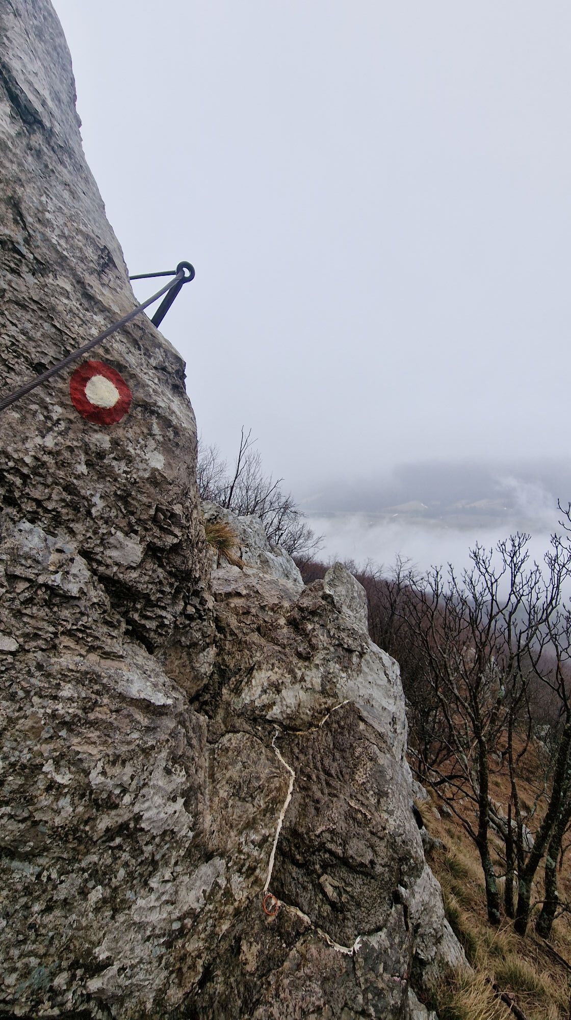
From the parking lot, the path leads us north towards Nanos. When we cross the highway, we reach a crossroads where we turn left onto a gravel road, and signs soon direct us to a meadow. We follow a well-trodden path until a fork. There, we can choose an easier, more gradual path or a harder, steeper path equipped with some nails and a chain. The steep path, which we take to the right going upward, offers beautiful views of the Vipava Valley, the Karst, VremšÄica, and Snežnik along the way. We reach Pleše (1262 m), just a few dozen meters from Vojkova hut, via a well-marked path in an hour and a half. Then we can return to the starting point via the easier path, completing a nice circular route.
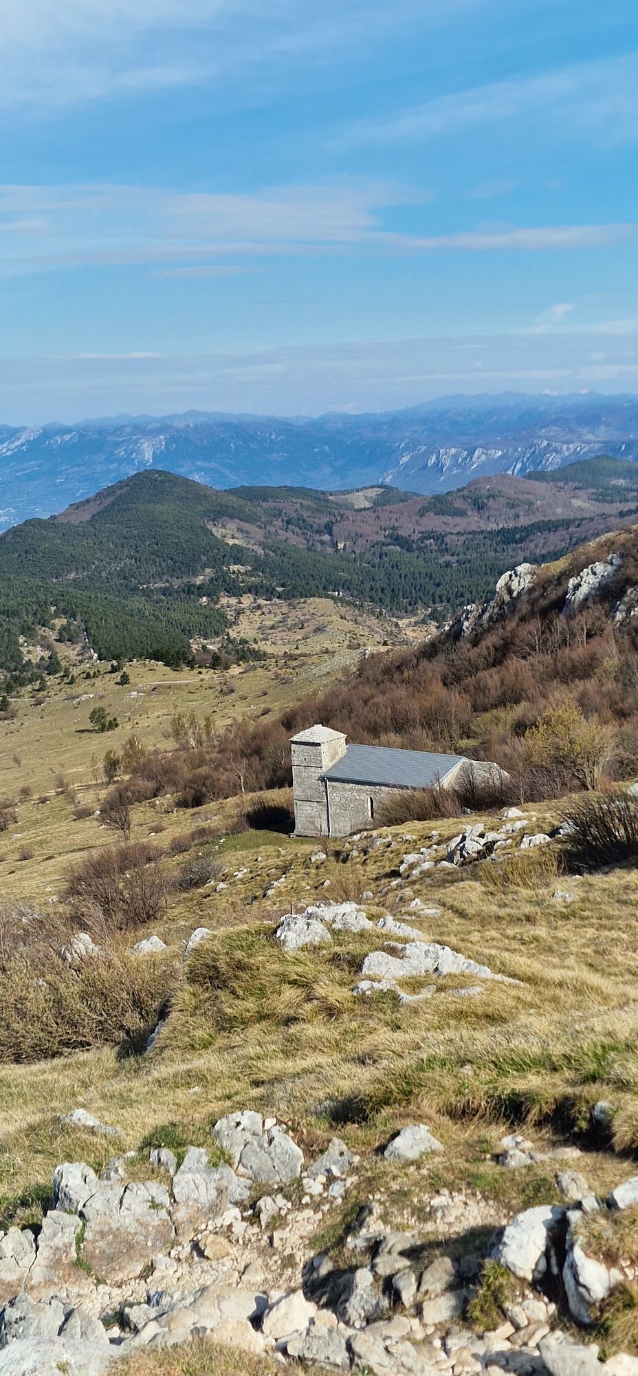
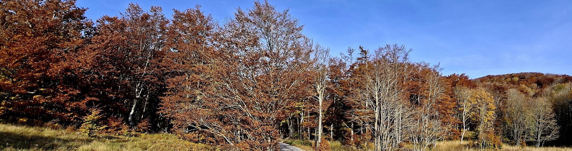
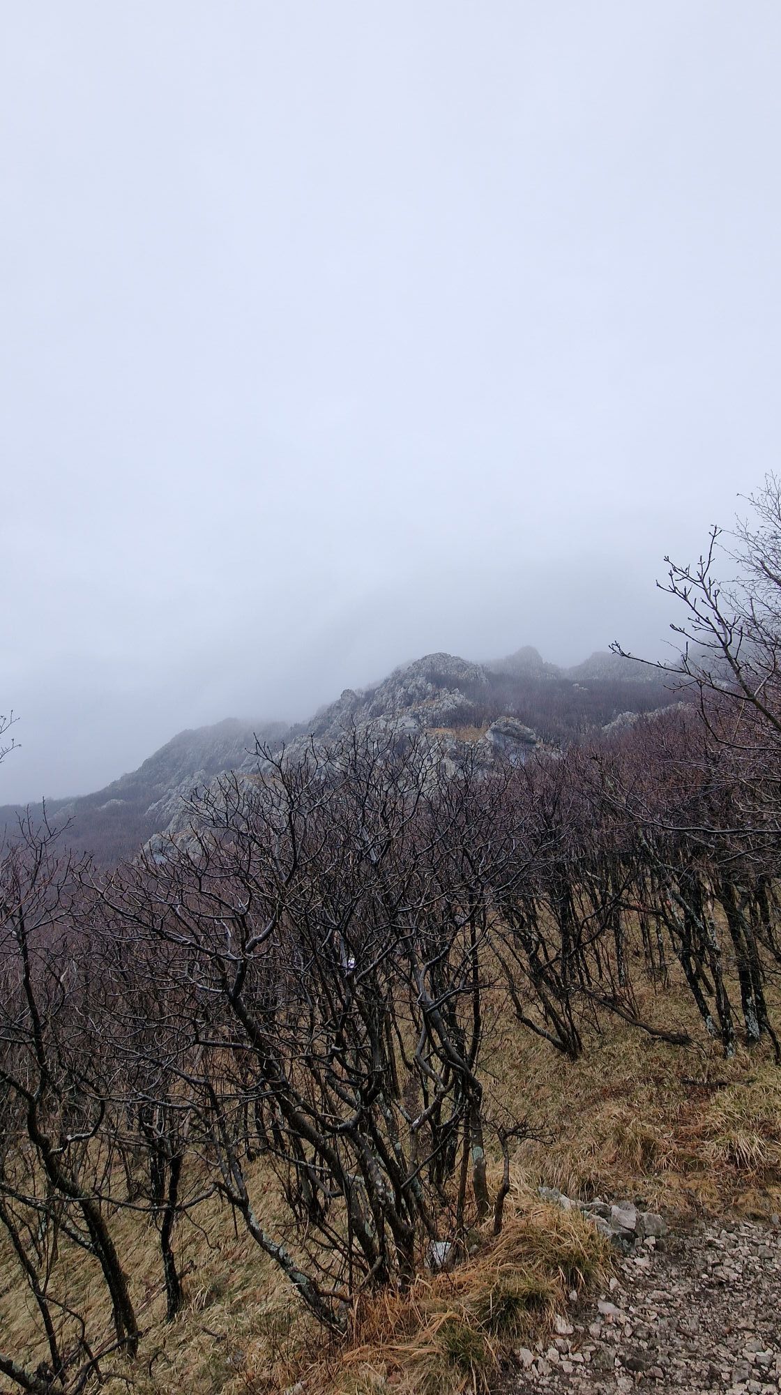
If we choose the easier path, from the fork we continue straight along the well-marked path. At first, the trail goes through the forest, then beautiful views open of the upper part of the Vipava Valley. After about an hour and a half, we reach the edge of the Nanos plateau, just above the church of St. Jerome. From there, we continue right towards Vojkova hut.
Hiking boots and trekking poles
No special features
Starting point: the village of Razdrto has a large gravel parking lot right before the overpass over the highway.
In the village of Razdrto, just before the overpass over the highway, there is a large gravel parking lot.
Aktivity na trase

Postojna Pohodništvo
06.06.2026 – Horská turistika
Razdrto, Slovenia
06.06.2026 – Turistika
Postojna, Slovenia
23.05.2026 – Horská turistikaRazdrto, Slovenia
25.04.2026 – Turistika
Postojna, Slovenija
11.04.2026 – Turistika
Razdrto, Slovenia
06.04.2026 – Turistika
Razdrto, Slovenia
15.03.2026 – TuristikaPostojna, Slovenia
01.03.2026 – Turistika
Postumia, Slovenia
08.02.2026 – Via ferrataPostumia, Slovenia
28.12.2025 – TuristikaPostojna Pohodništvo
21.12.2025 – Horská turistikaRazdrto, Slovenia
28.10.2025 – Turistika
Razdrto, Slovenia
08.09.2025 – TuristikaPleša, Slovenia
06.09.2025 – Turistika
Postojna Hiking
22.04.2023 – Další
Oblíbené prohlídky v okolí
Gradiška Tura (via ferrata) – Abram
heavyVia ferrata 11,9 kmVremščica
světloTuristika 6,45 km- 5,0
Razdrto - Pleša - Vojkova koča na Nanosu
středníTuristika 5,45 km The Way of St. James
středníTuristika 126,6 km- 5,0
Vipava - Oltar - Gradiška Tura
středníTuristika 3,85 km Mount Nanos
heavyMountainbike 44,6 kmNanos ascend and trails
středníMountainbike 24,5 kmVia Alpina Slovinsko: Etapa 2 (Matavun-Razdrto)
světlodálková pěší trasa 17 kmUTVV GLADIATOR - 60 km
heavyTrailrunning 62,8 kmRazdrto - Pleša - Vojkova koča na Nanosu - Laniški vrh
středníTuristika 8,34 km
Pěší turistika a stopování


Nenechte si ujít nabídky a inspiraci pro vaši příští dovolenou
Vaše e-mailová adresa byl přidán do poštovního seznamu.