




Fürstin-Gina-Weg
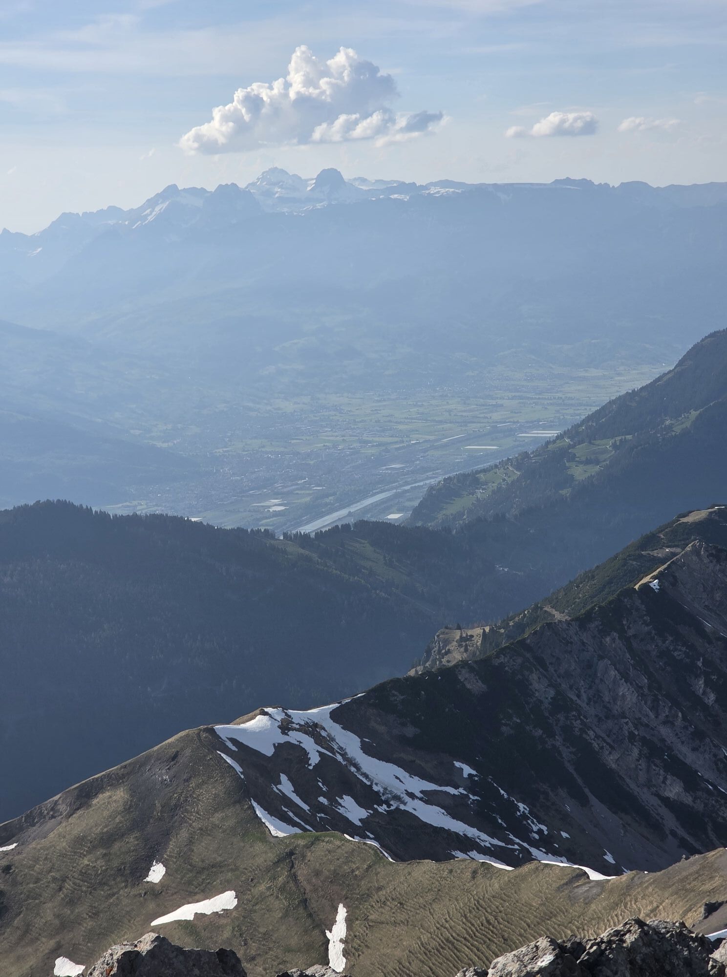

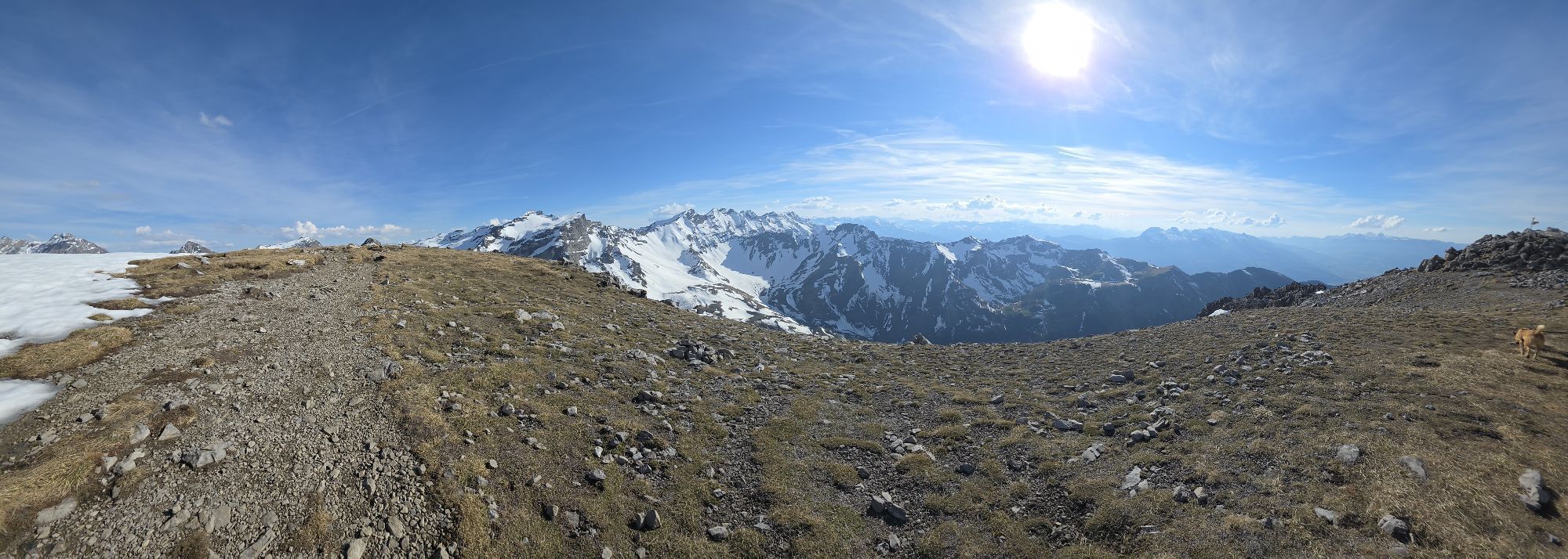
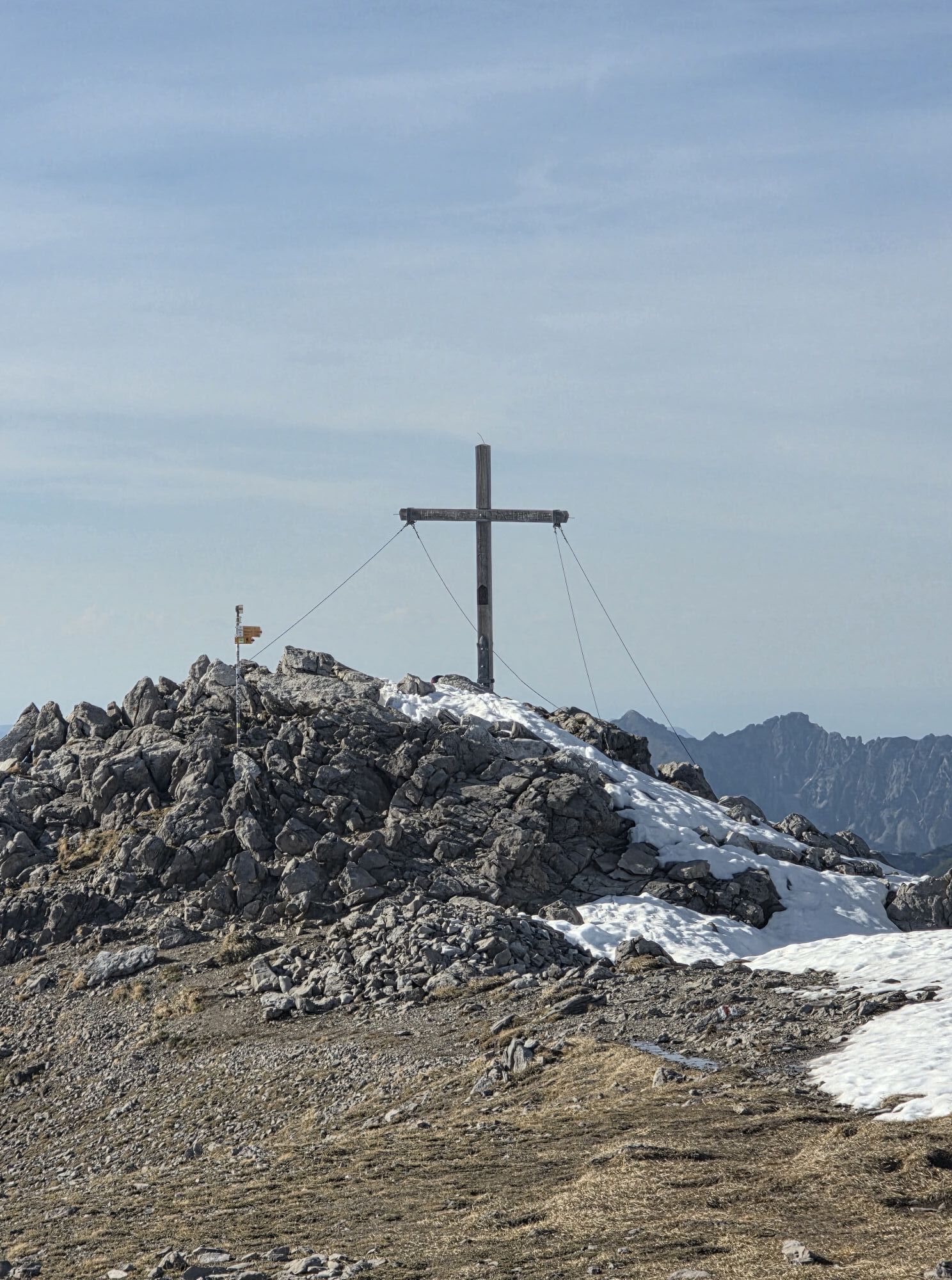
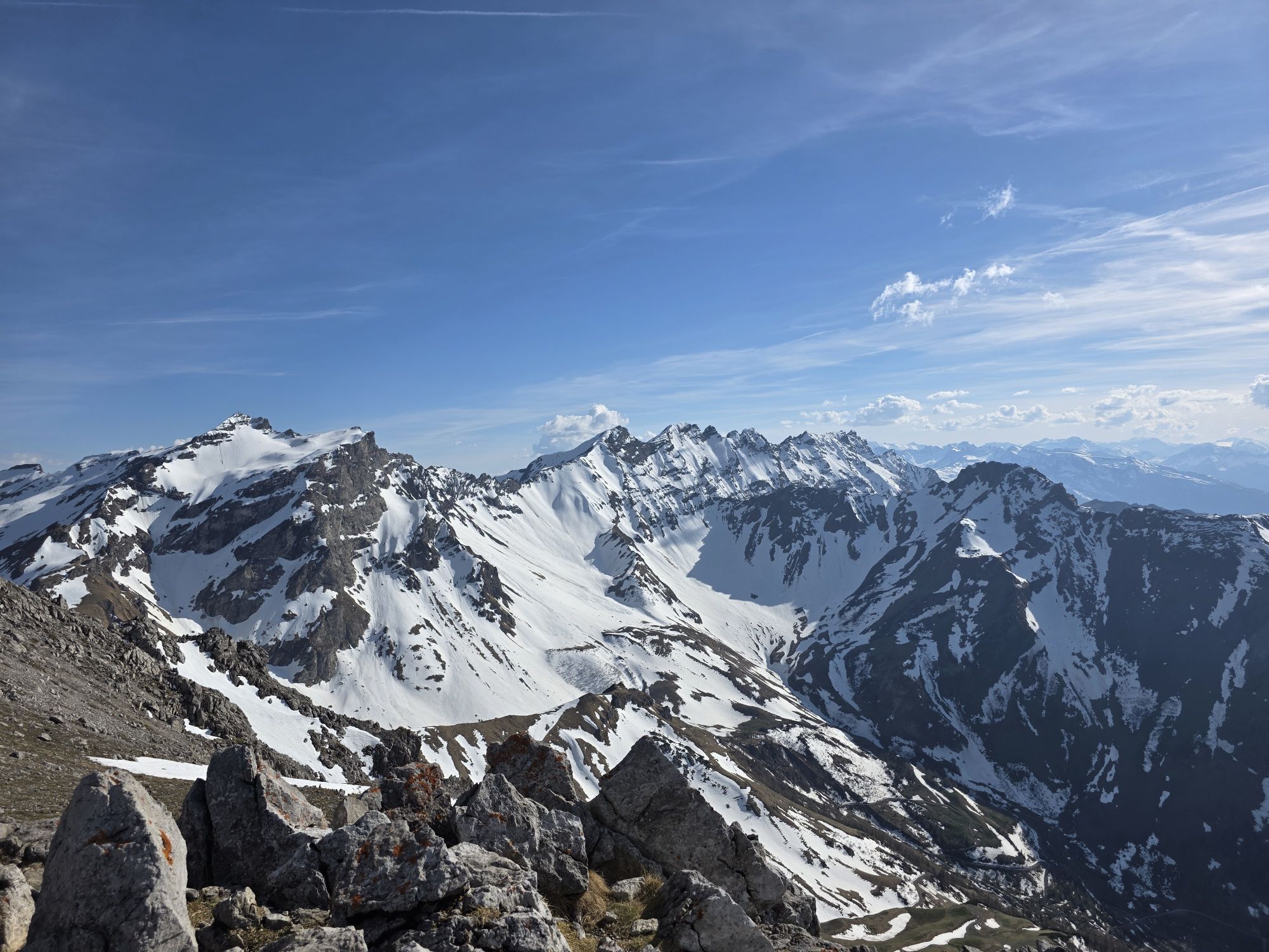
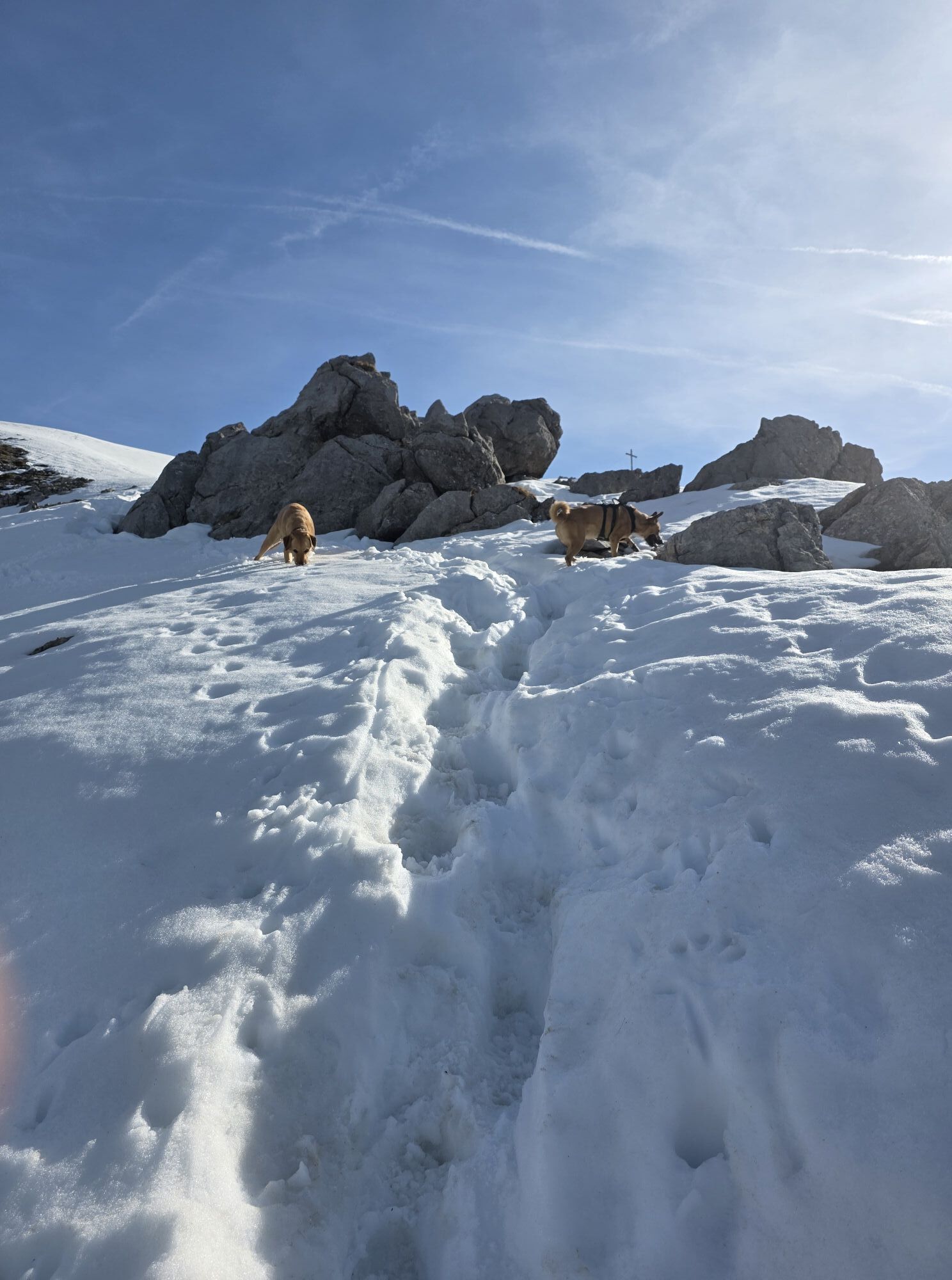
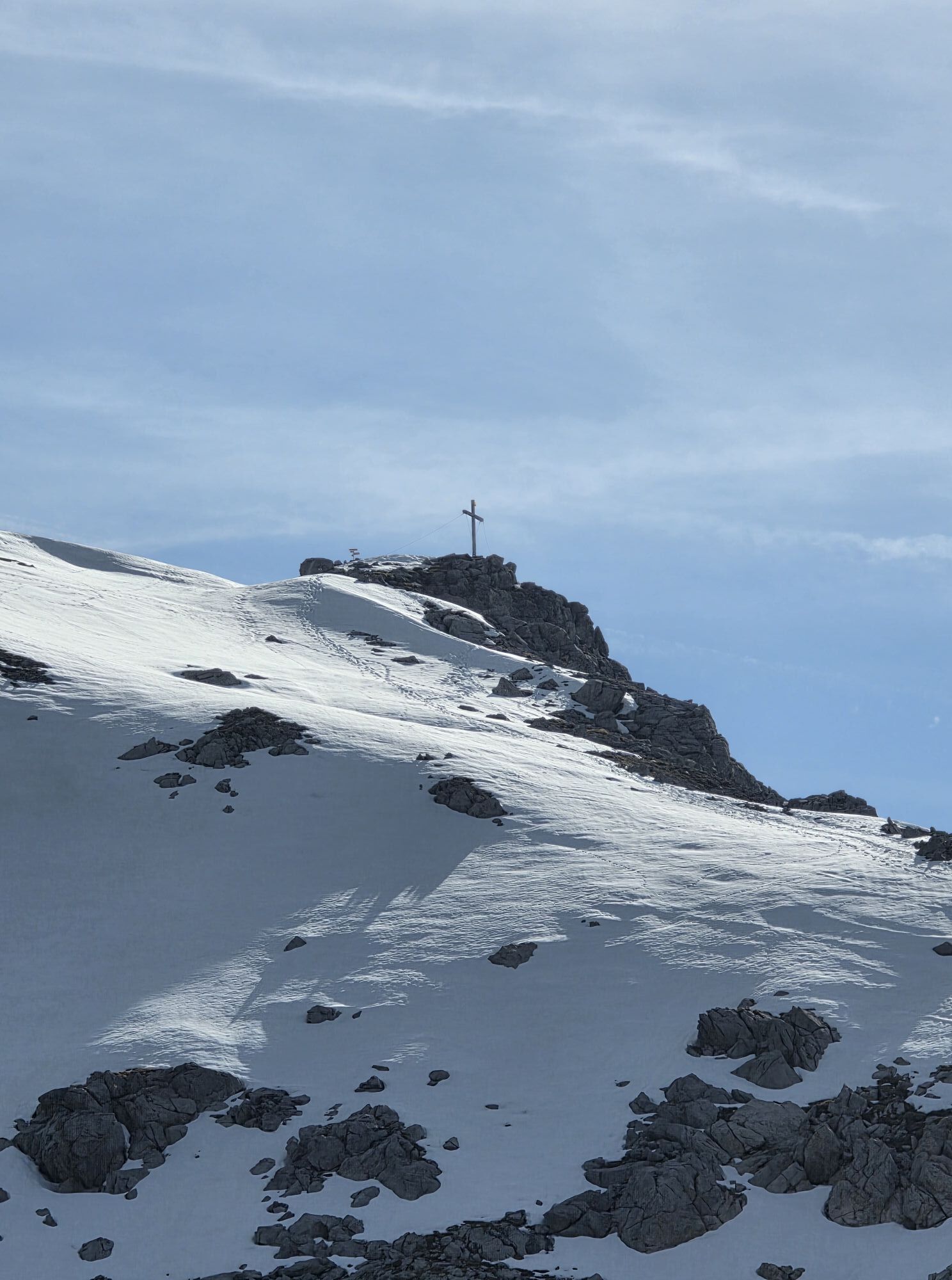
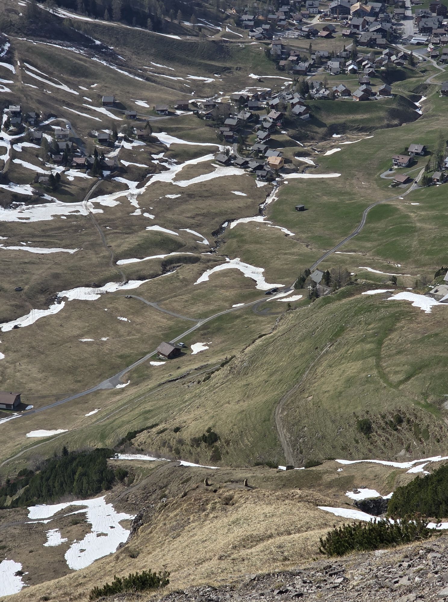
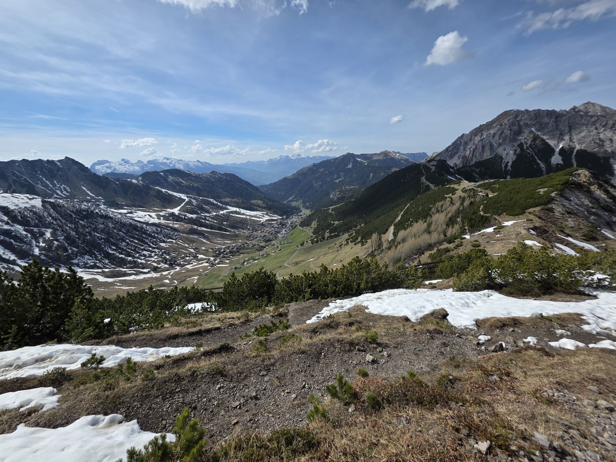
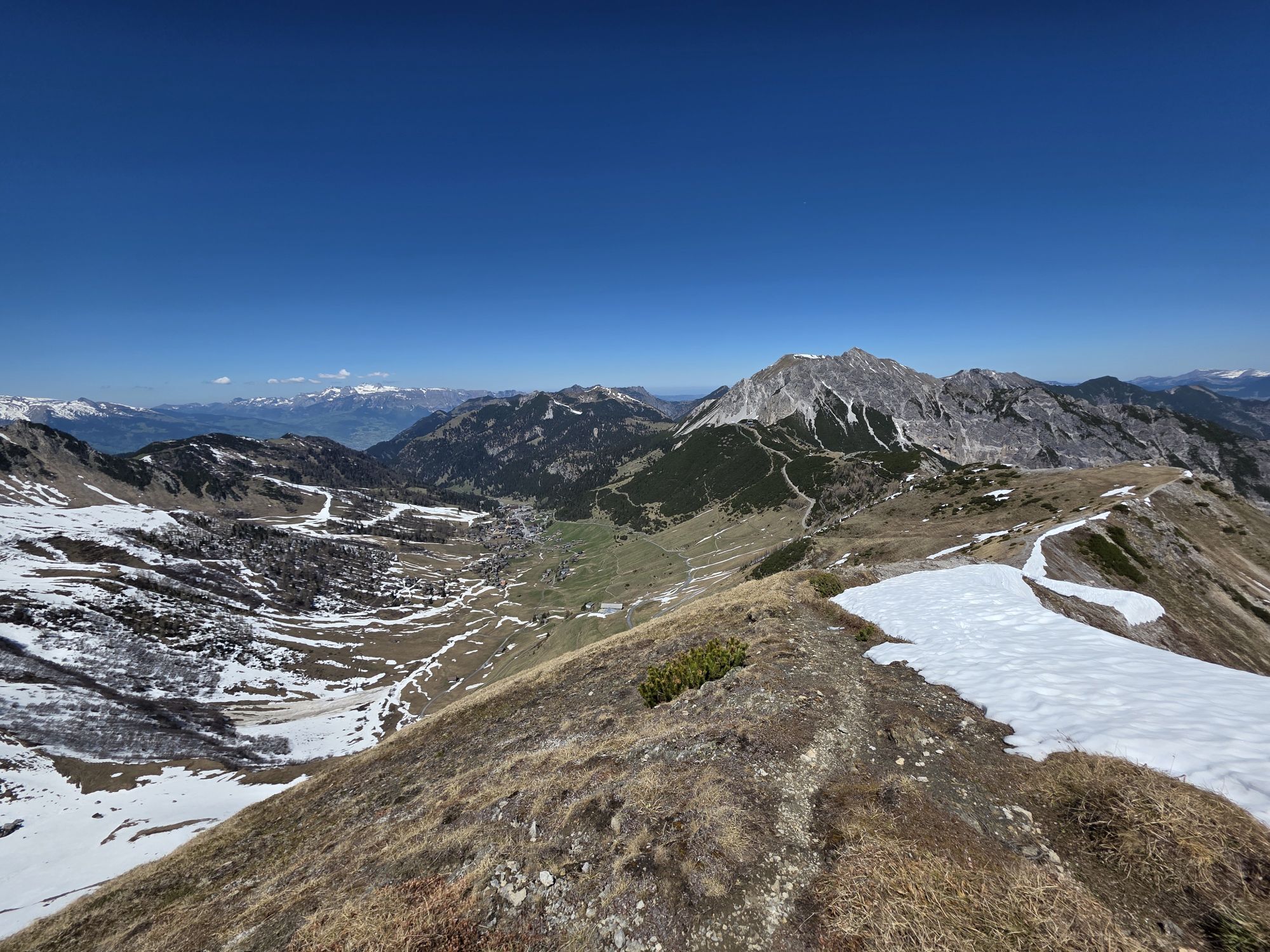
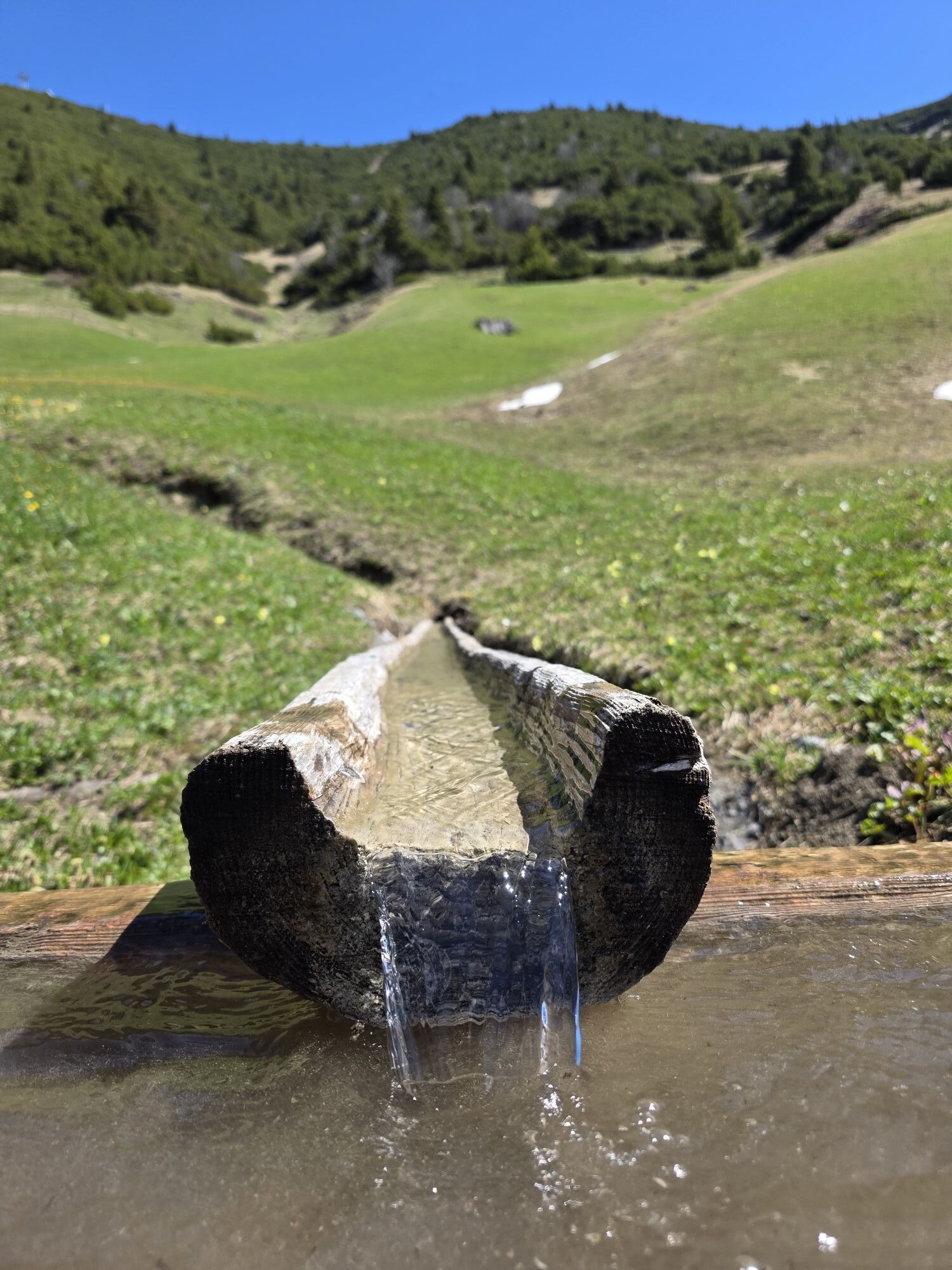
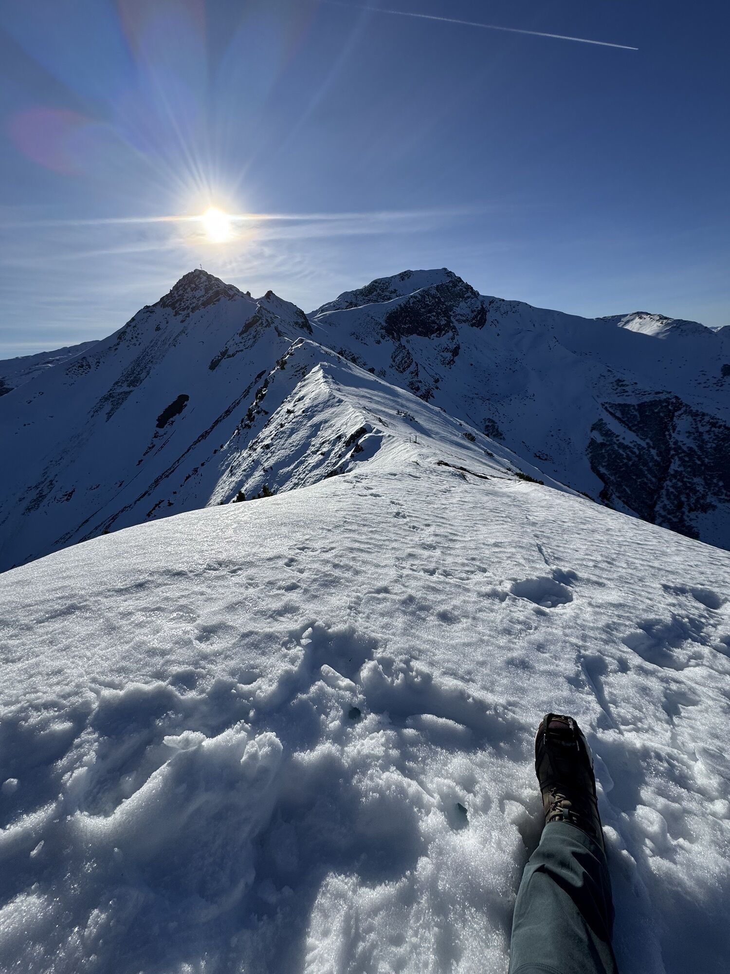
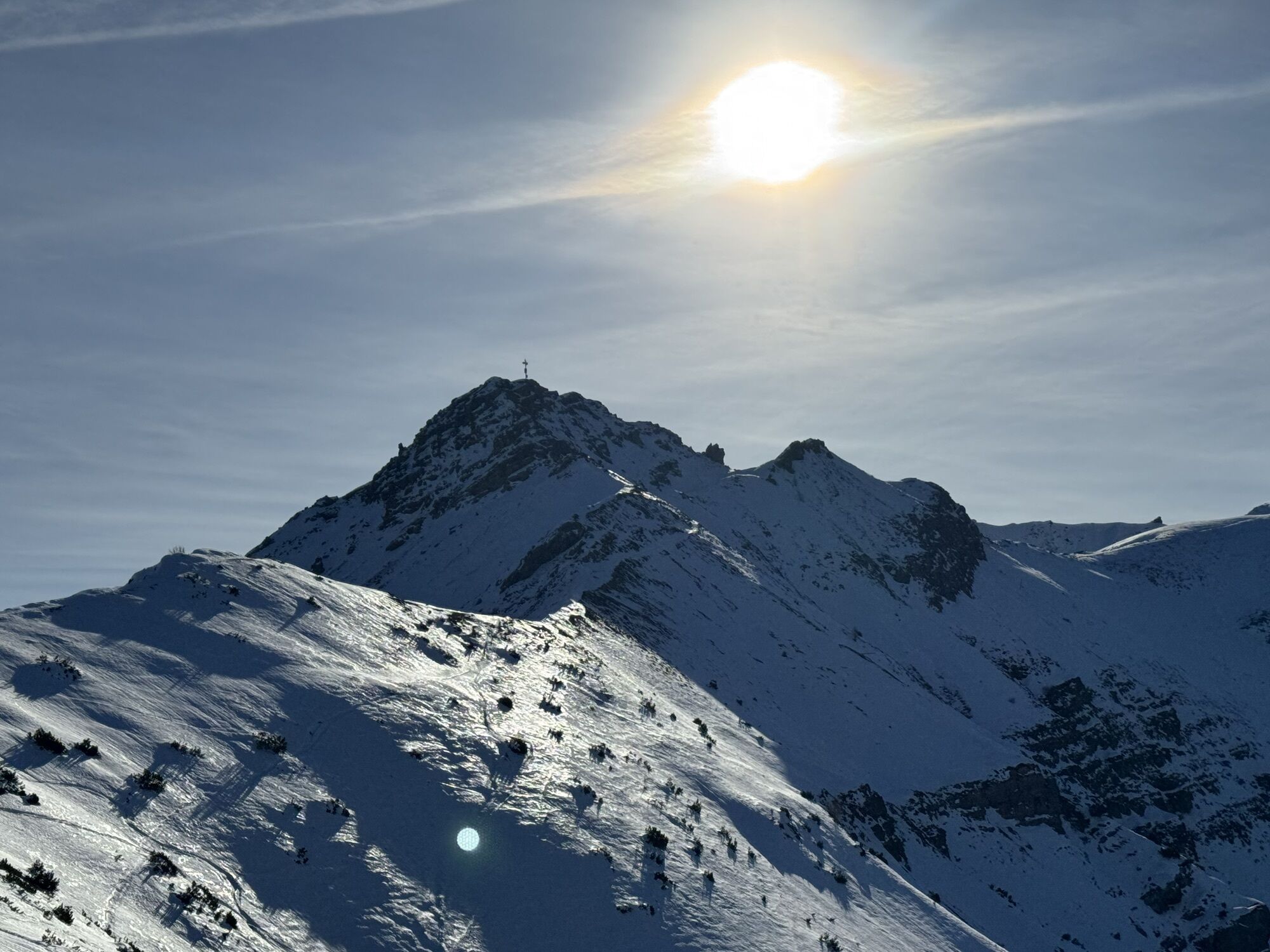
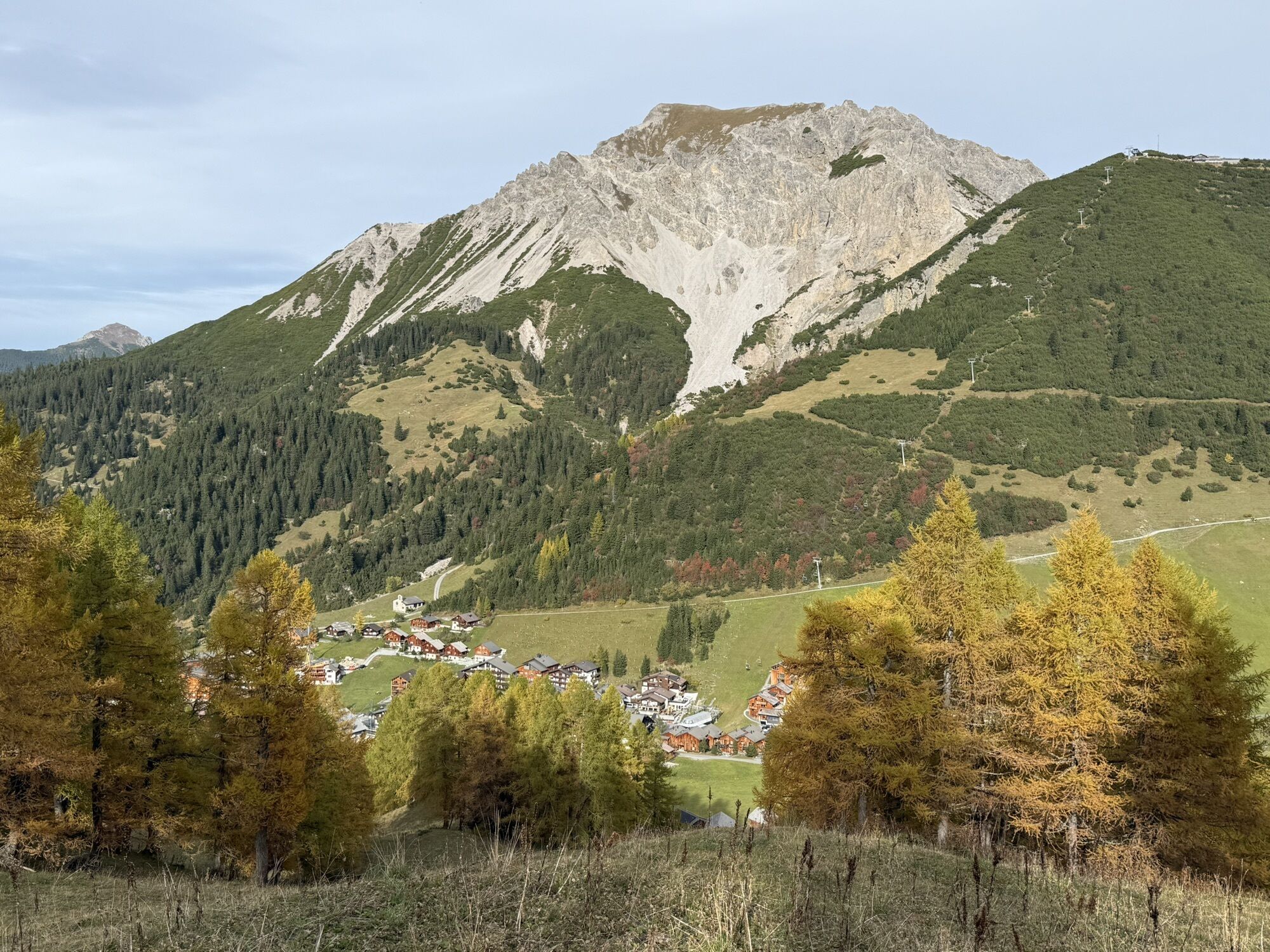
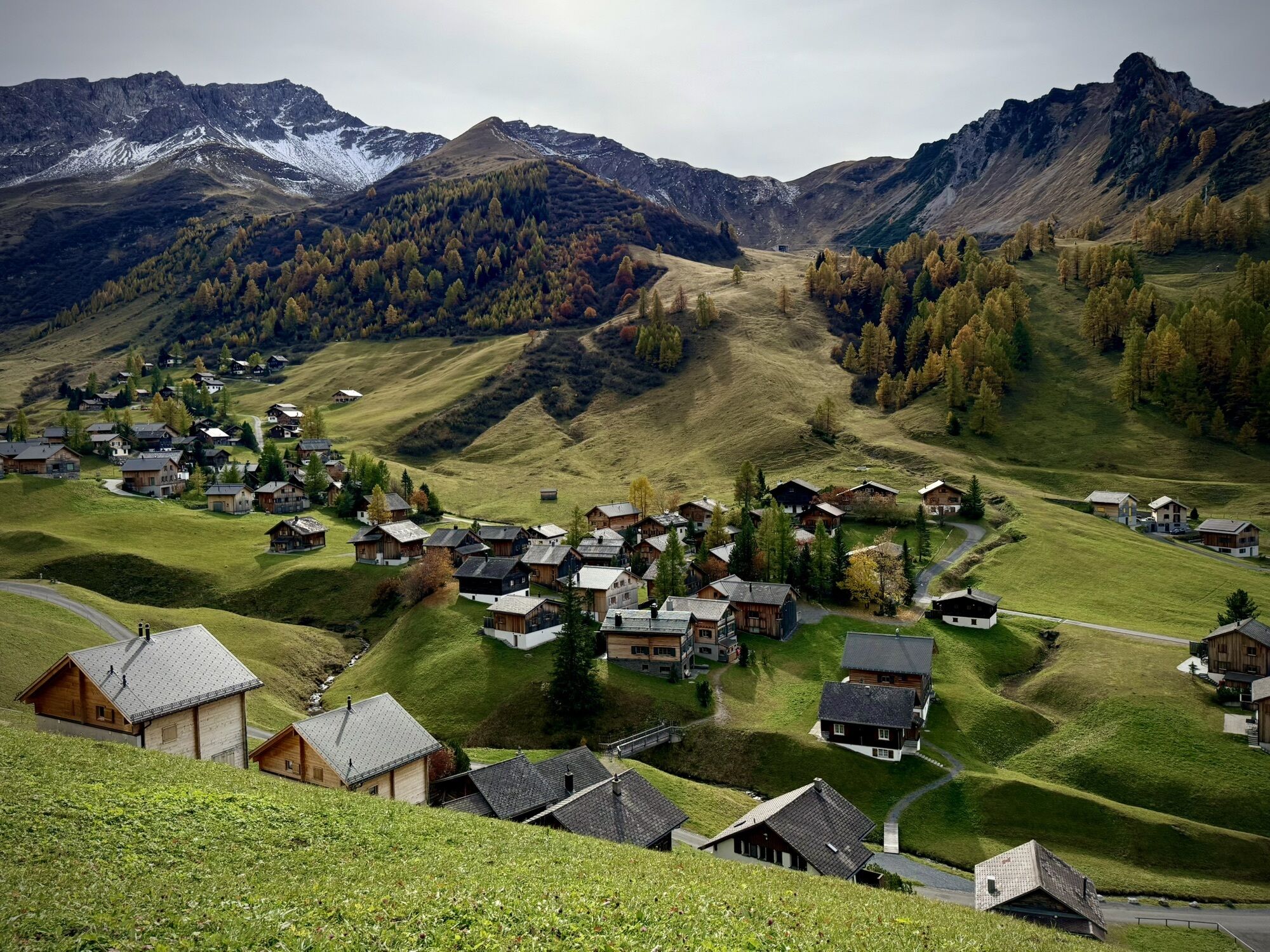
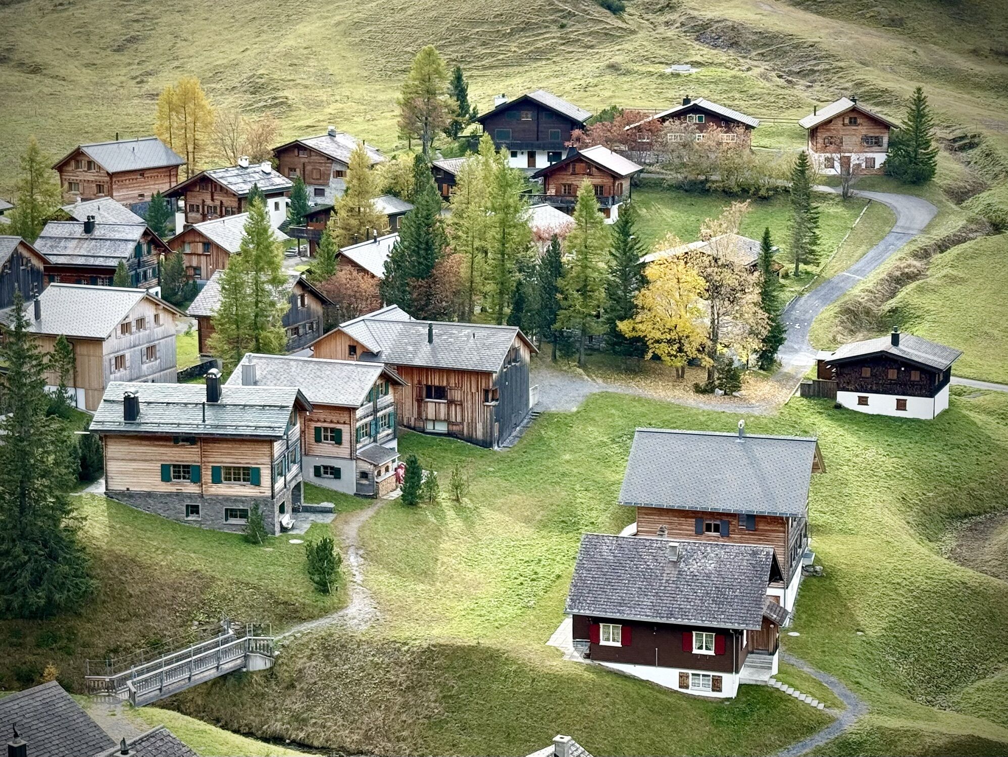
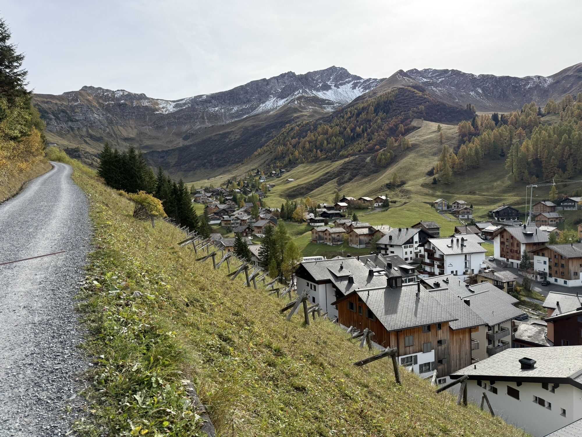
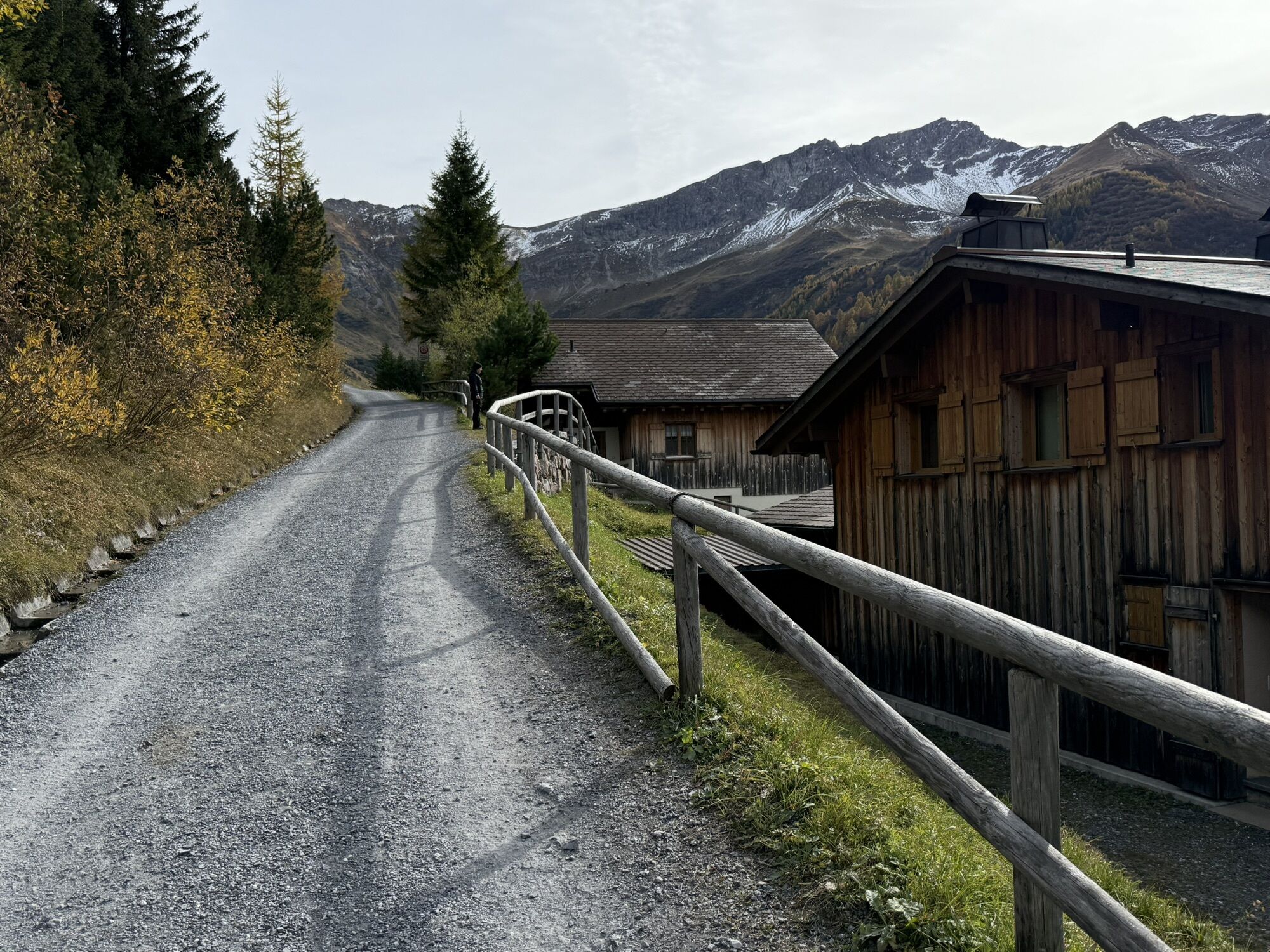
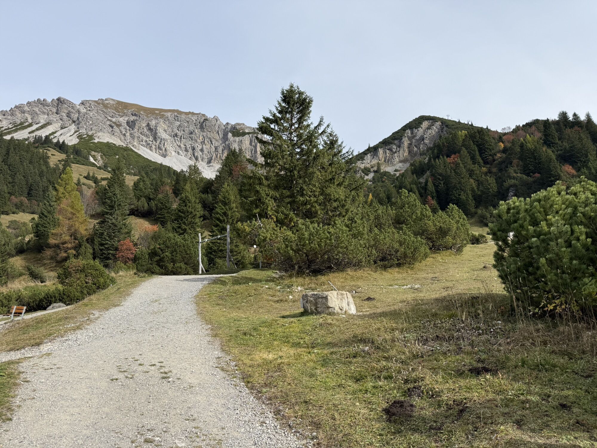
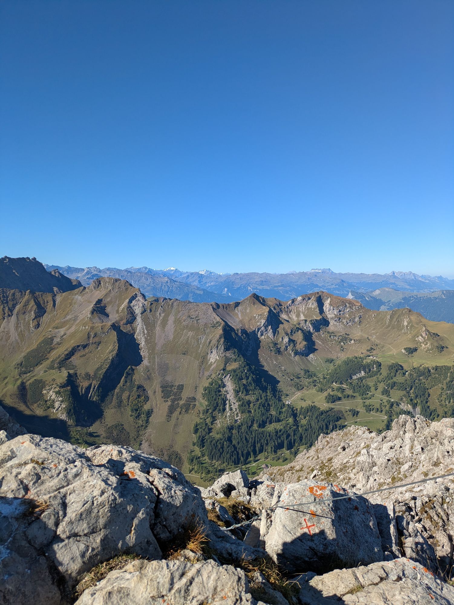
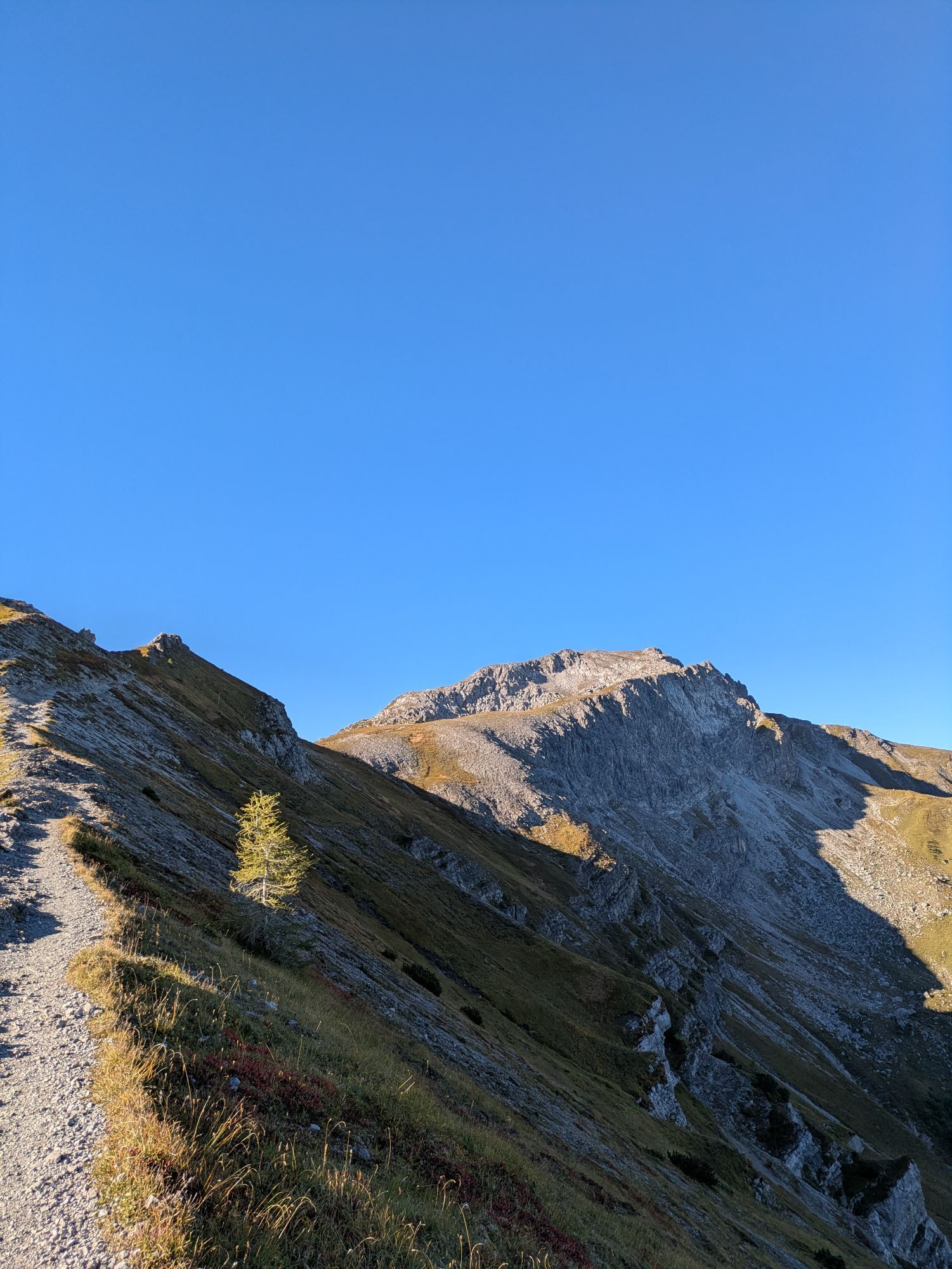
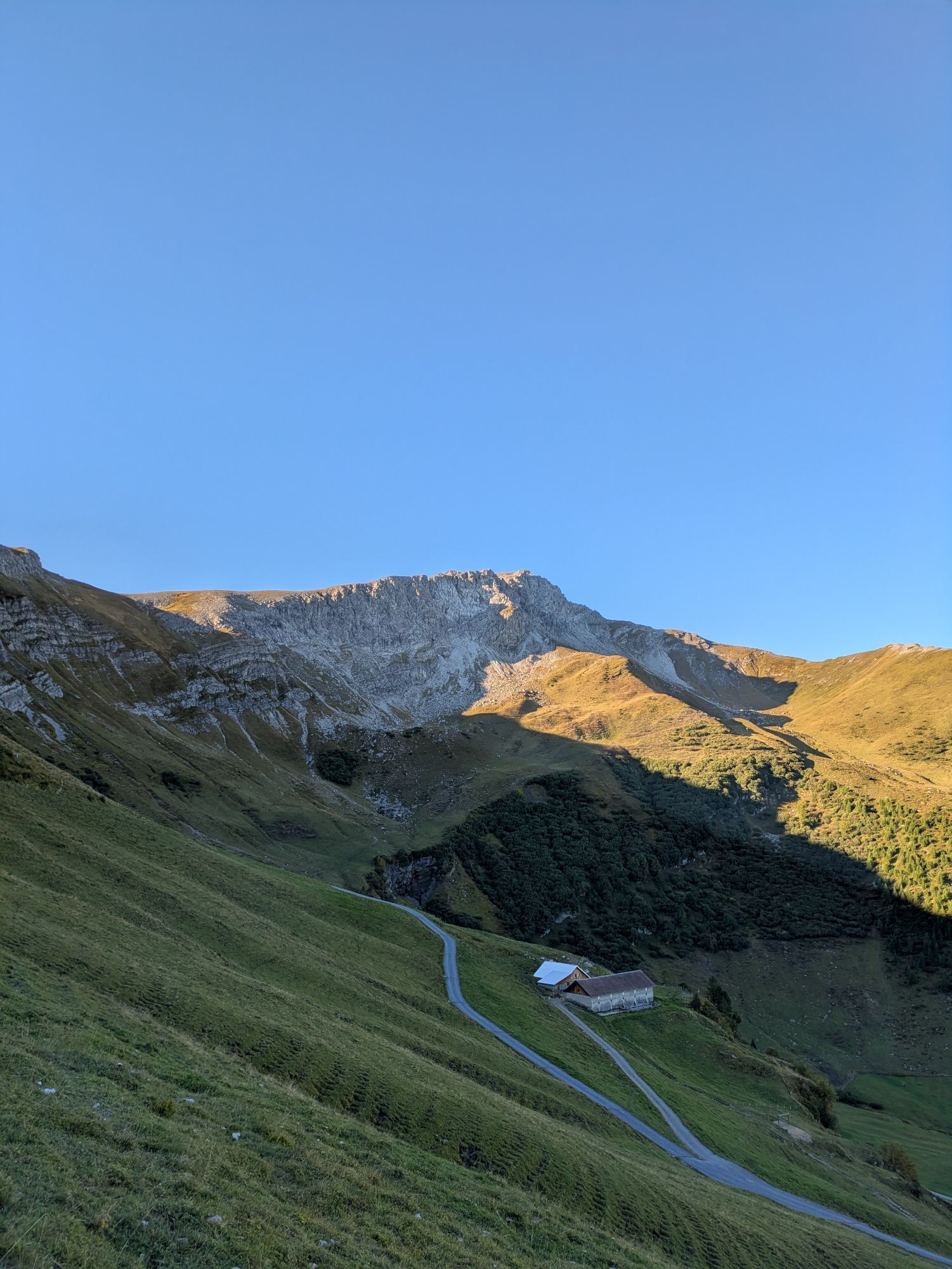
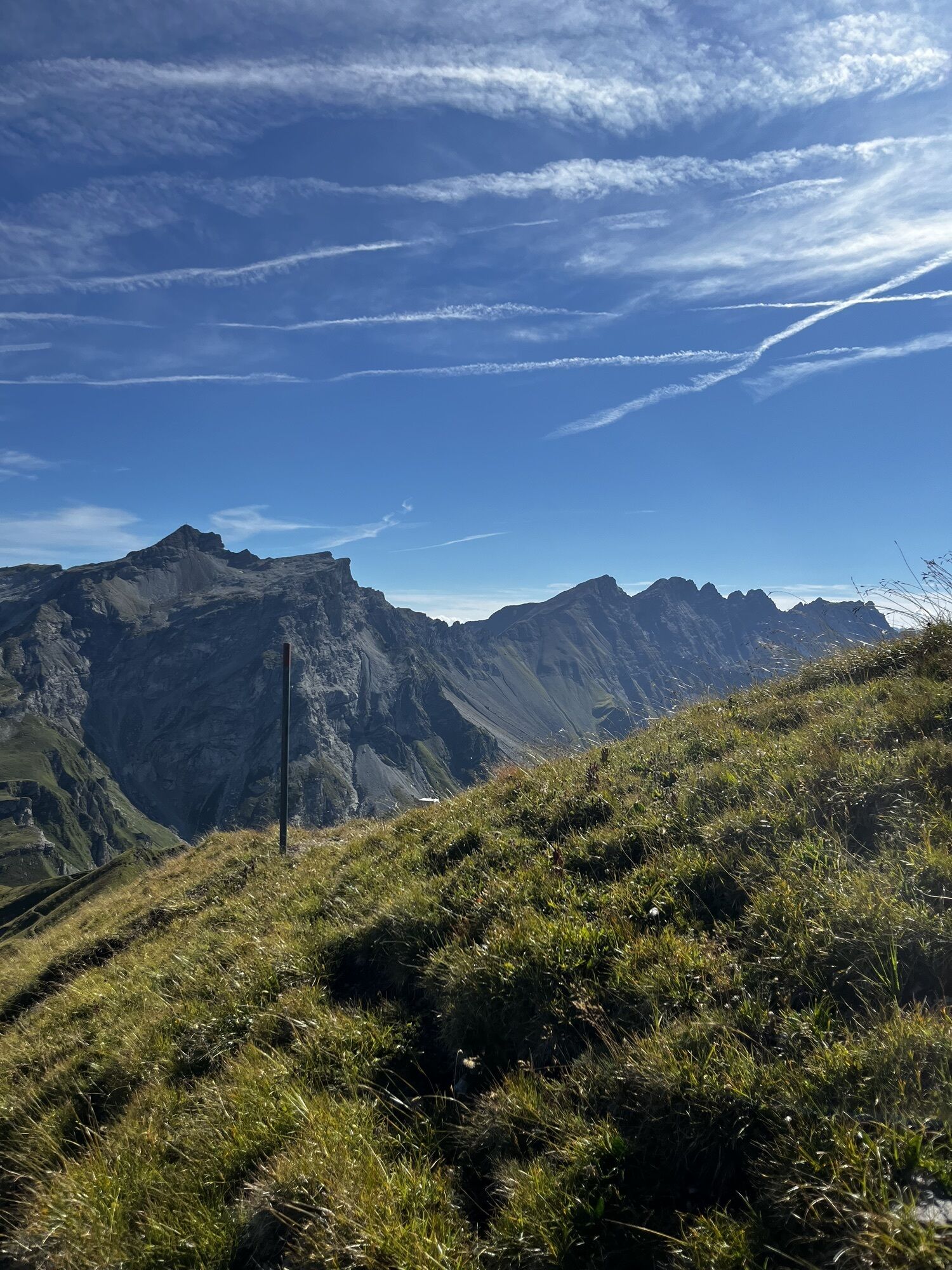
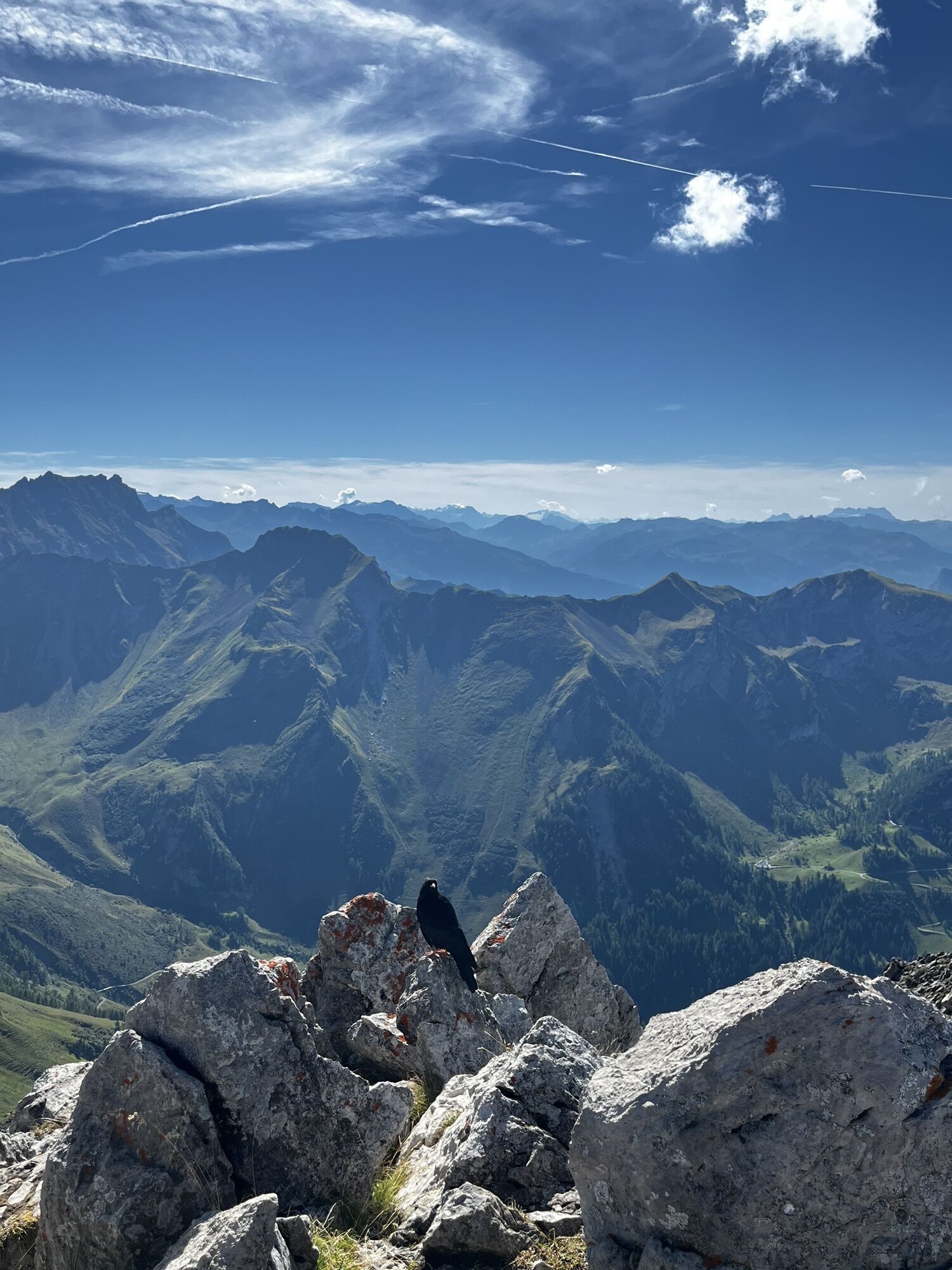
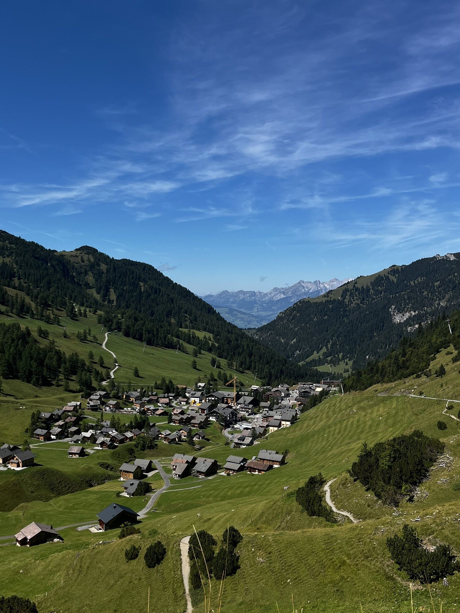
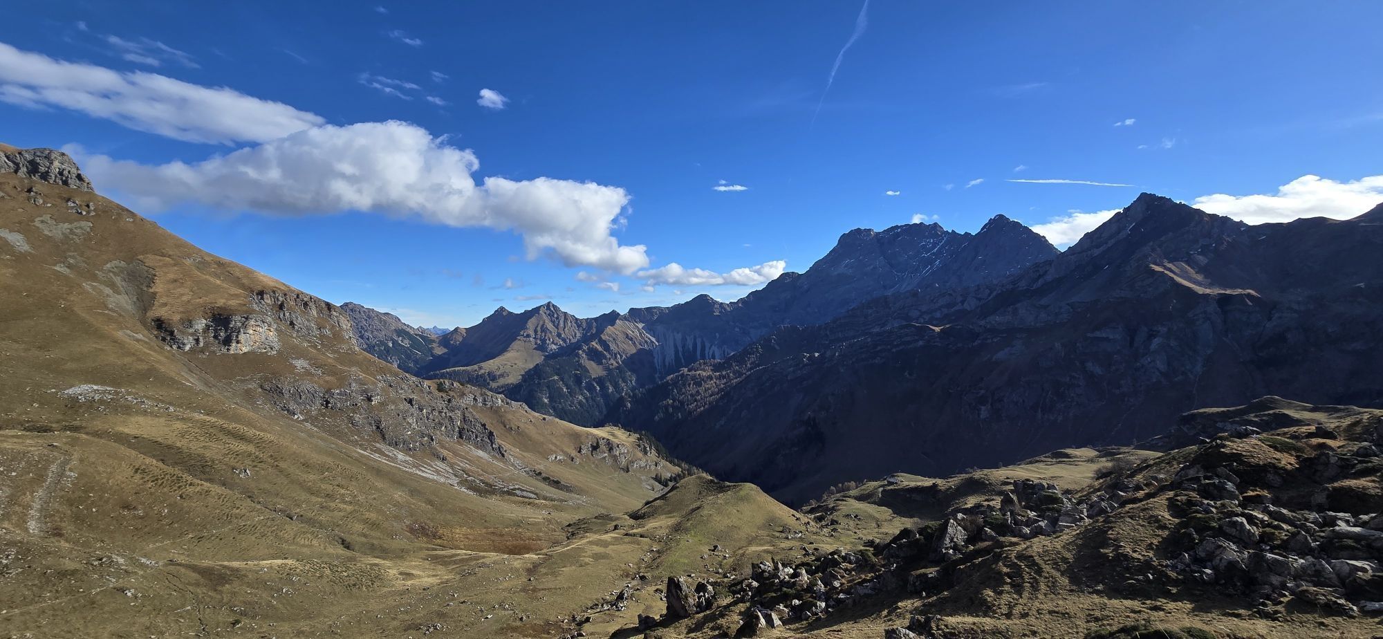
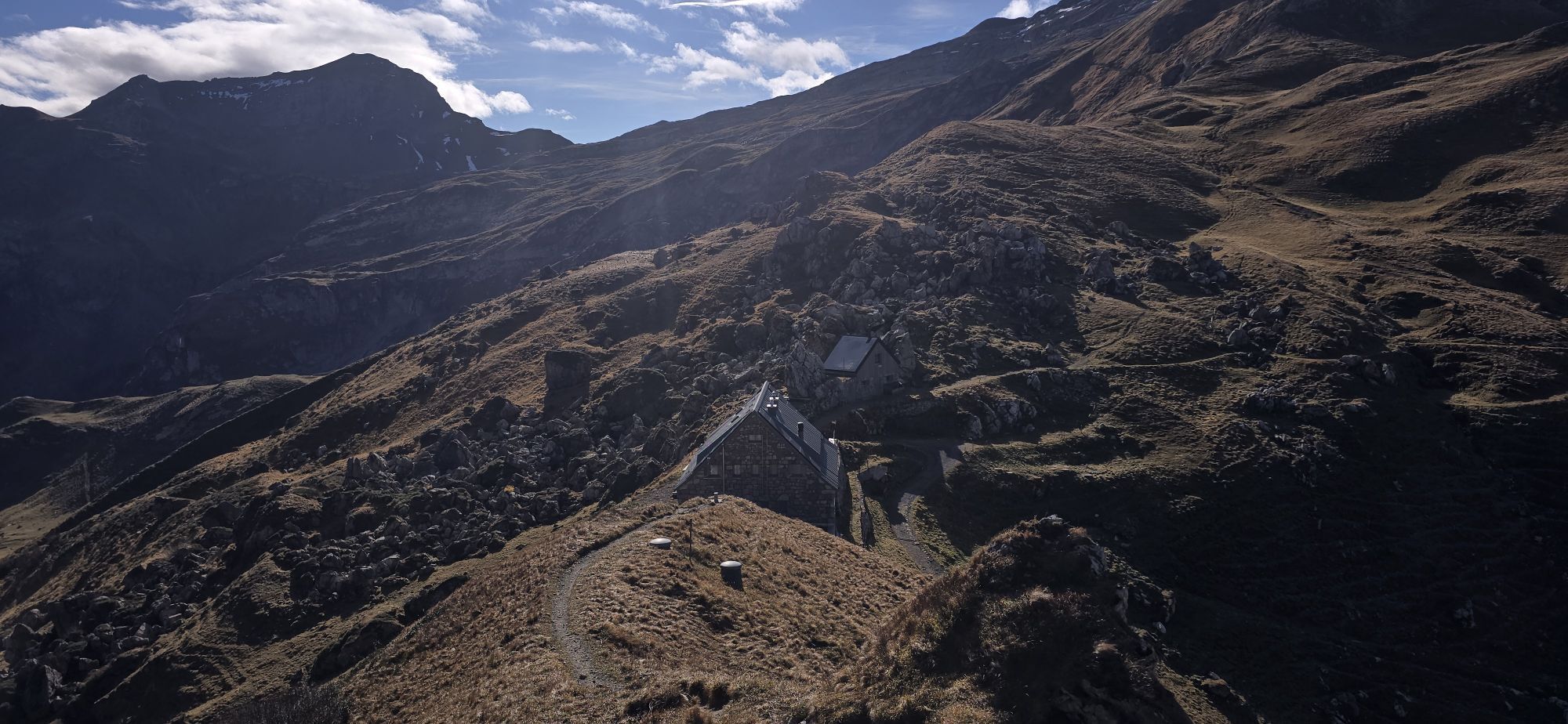
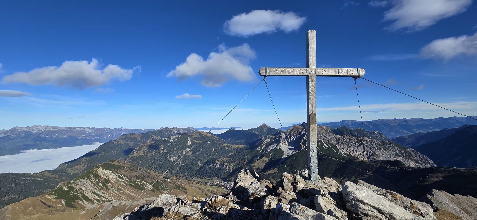
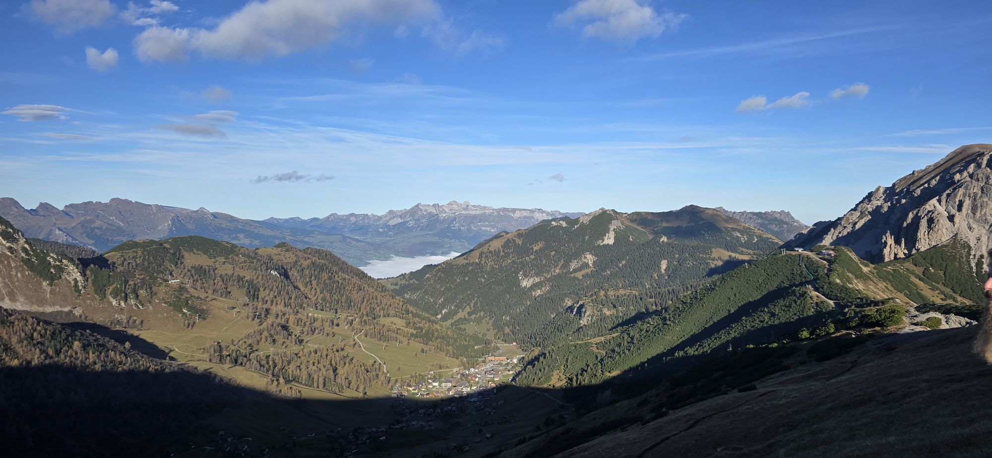
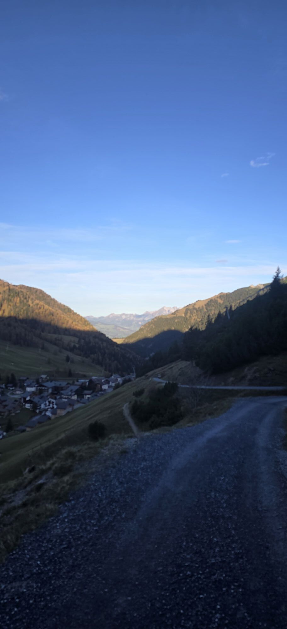
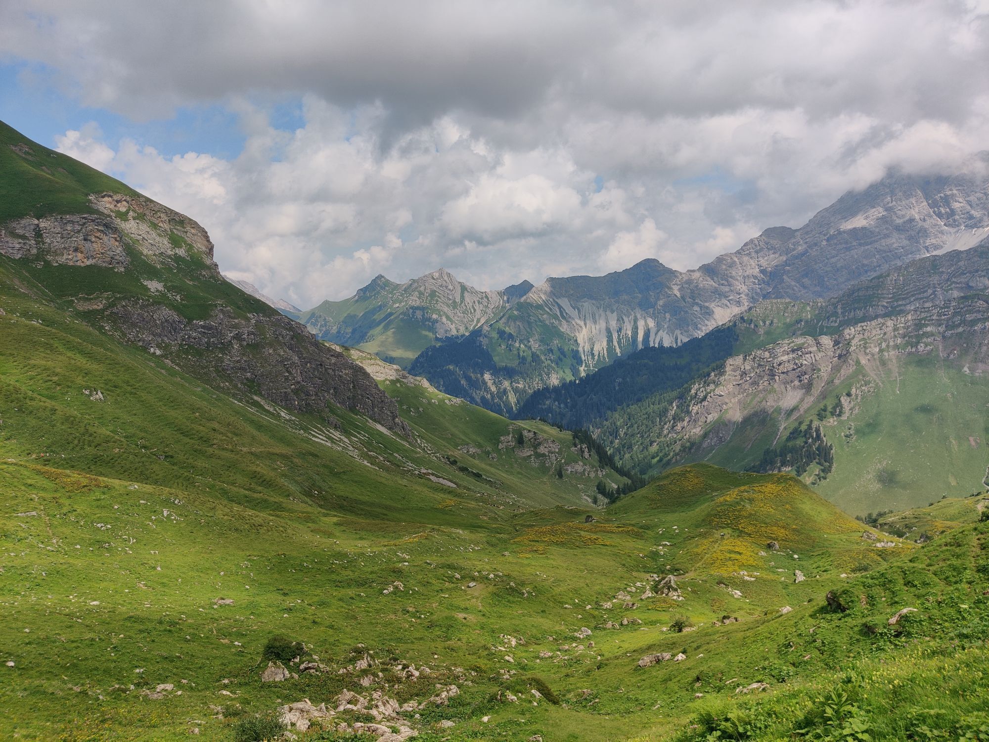
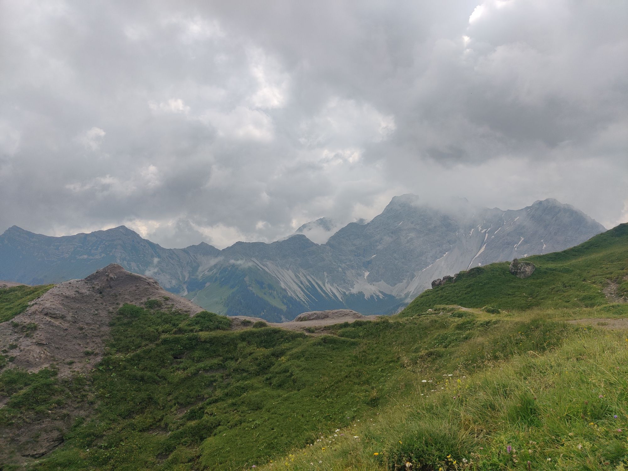
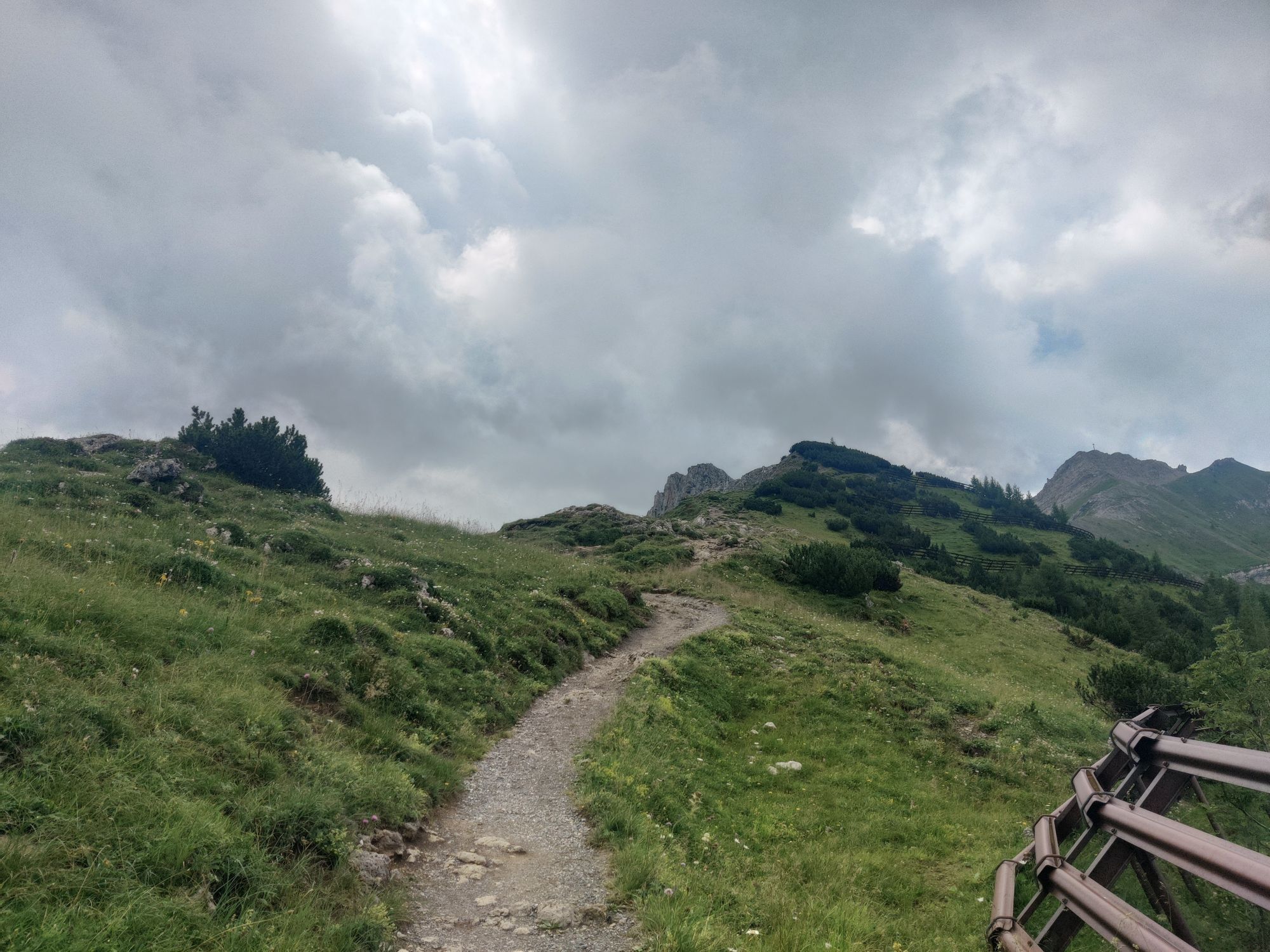
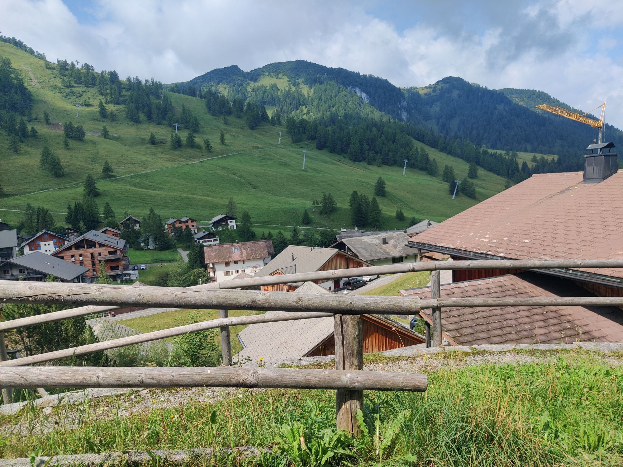
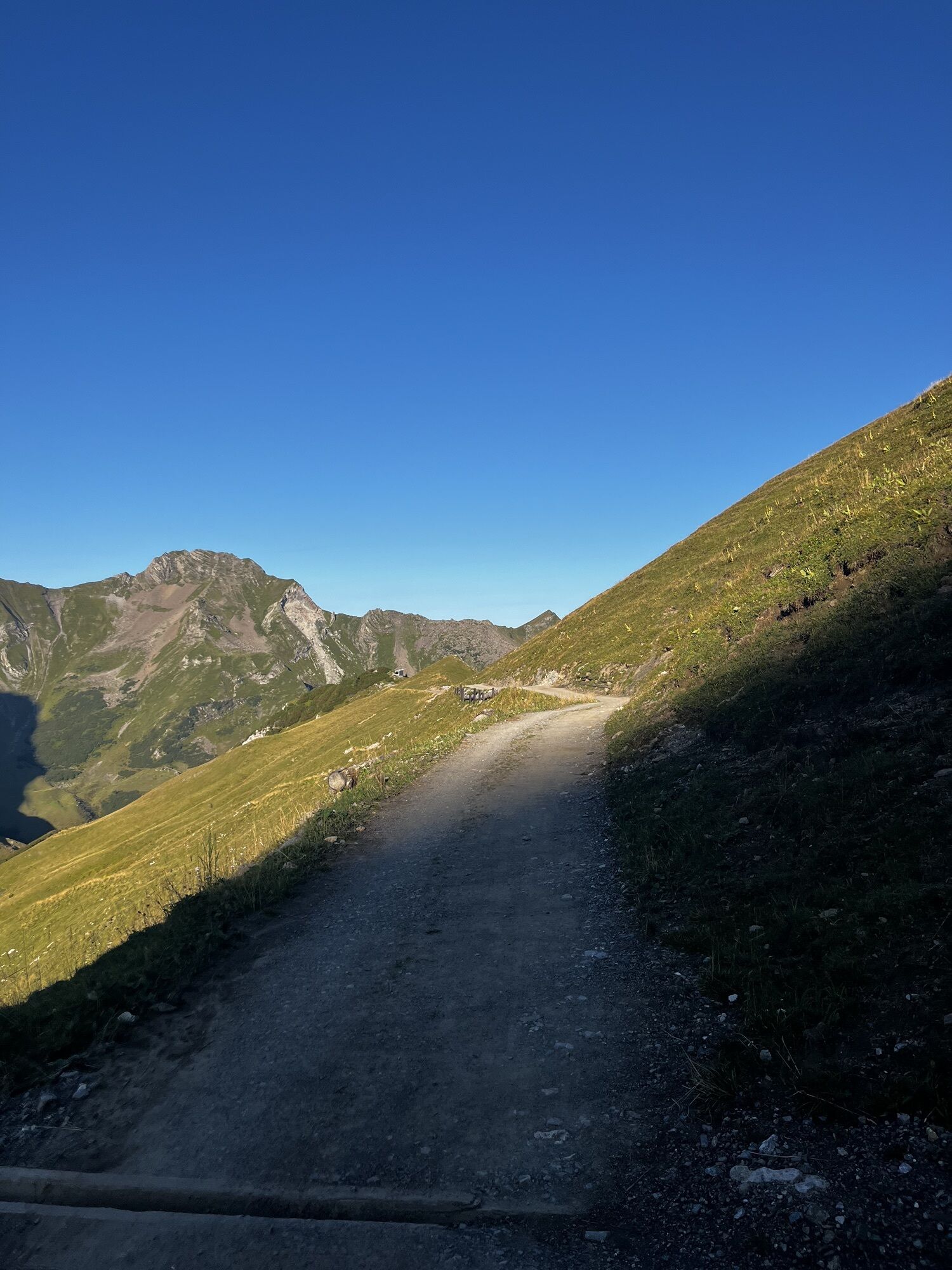
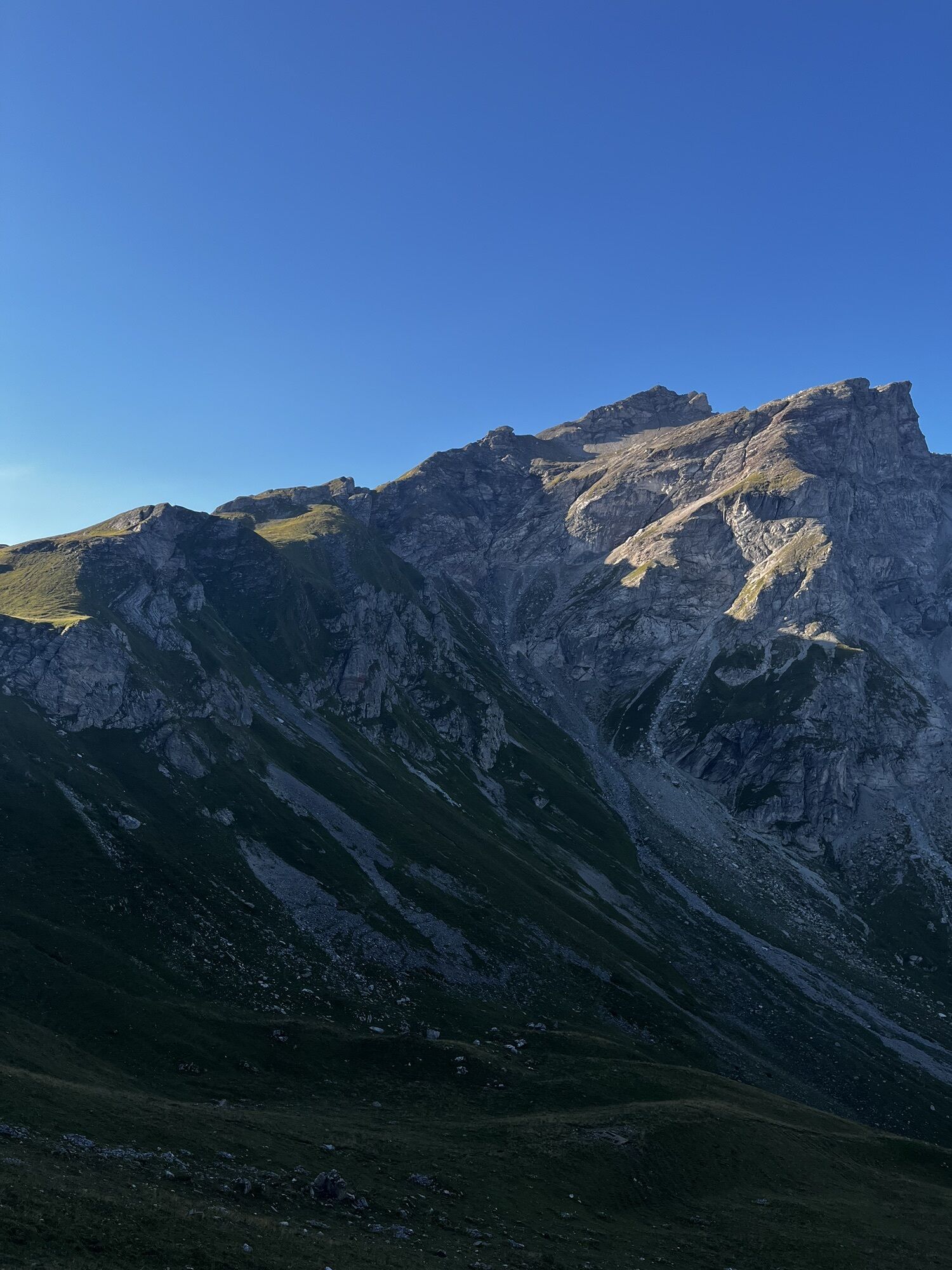
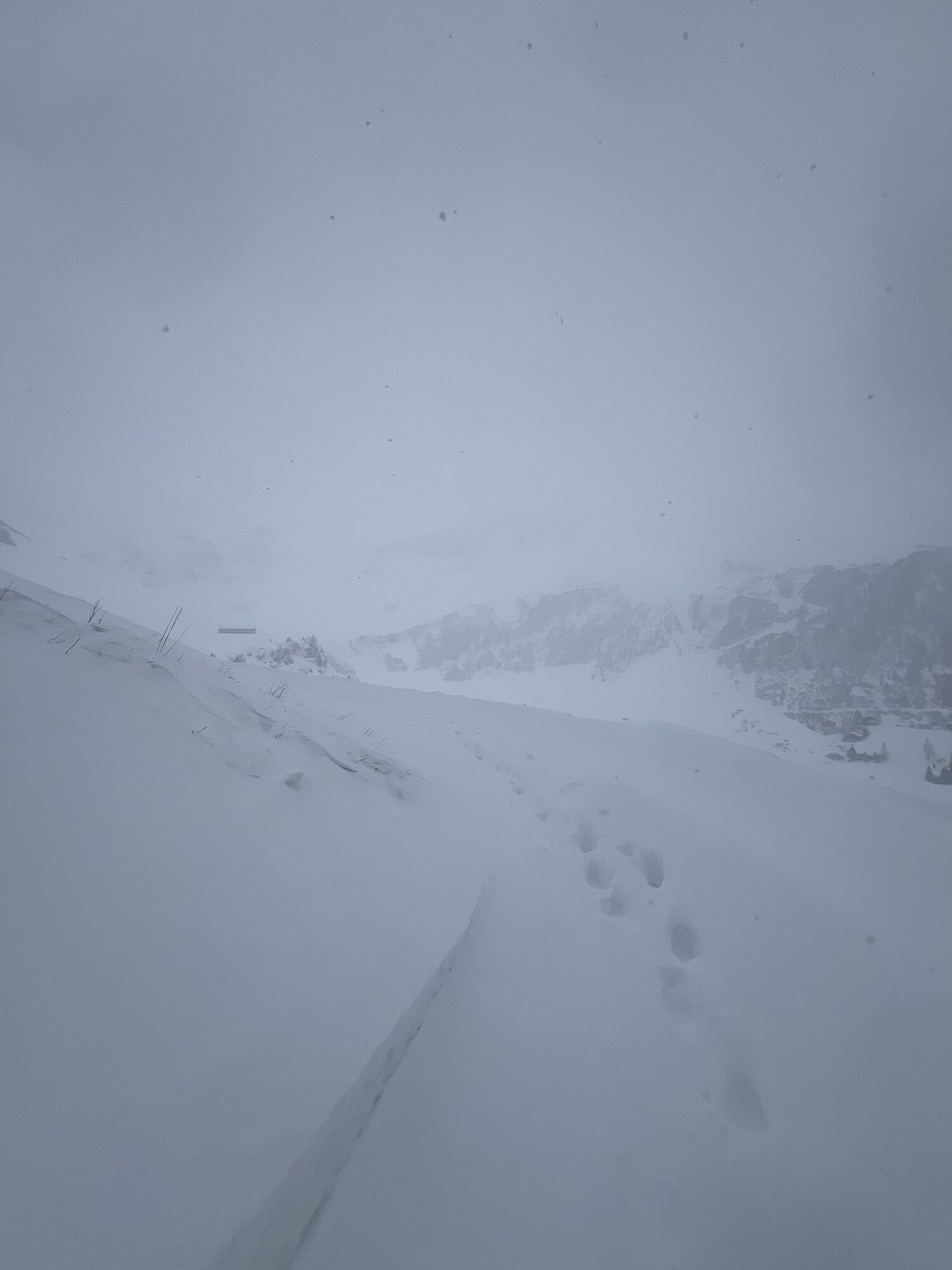
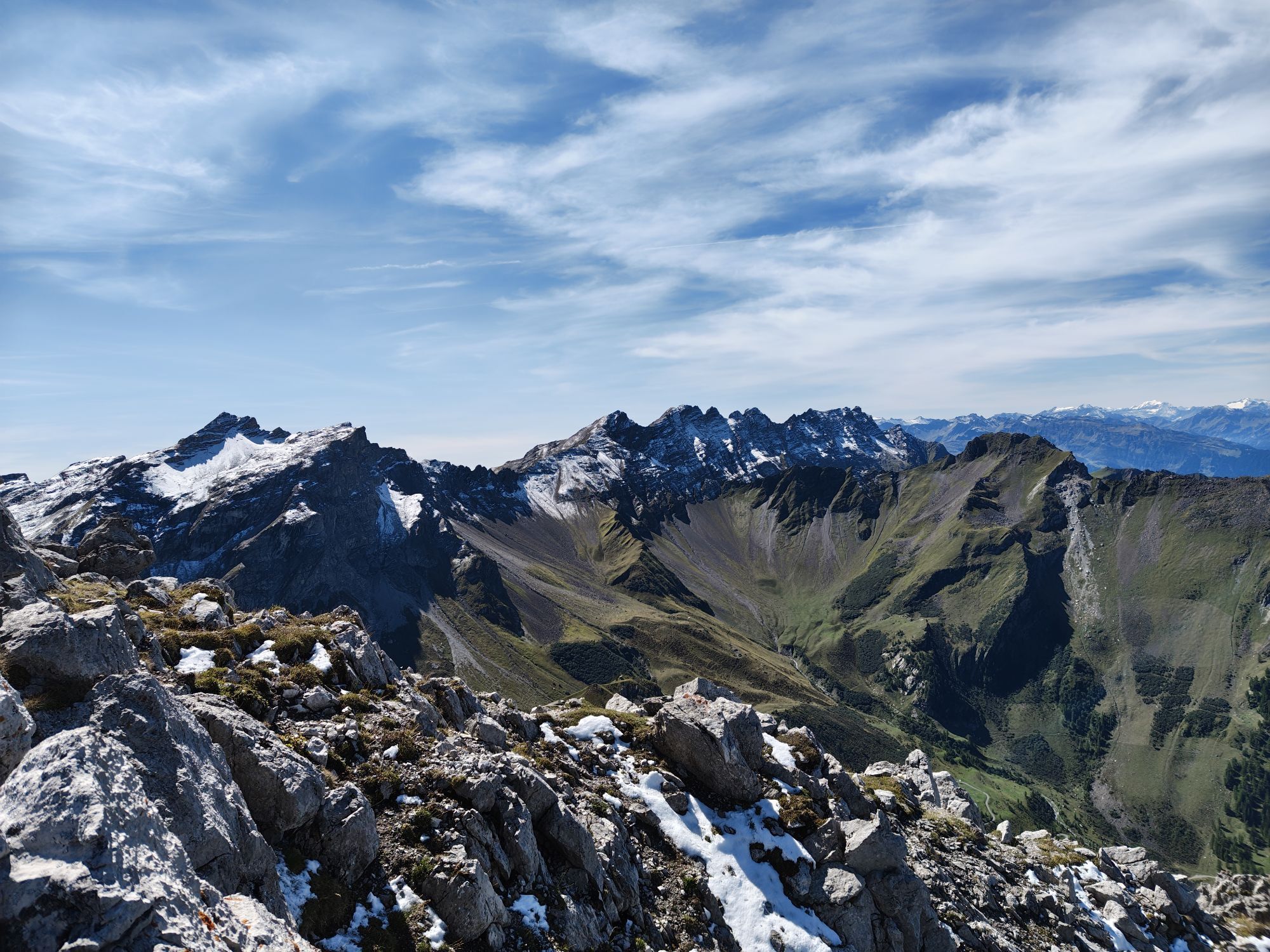
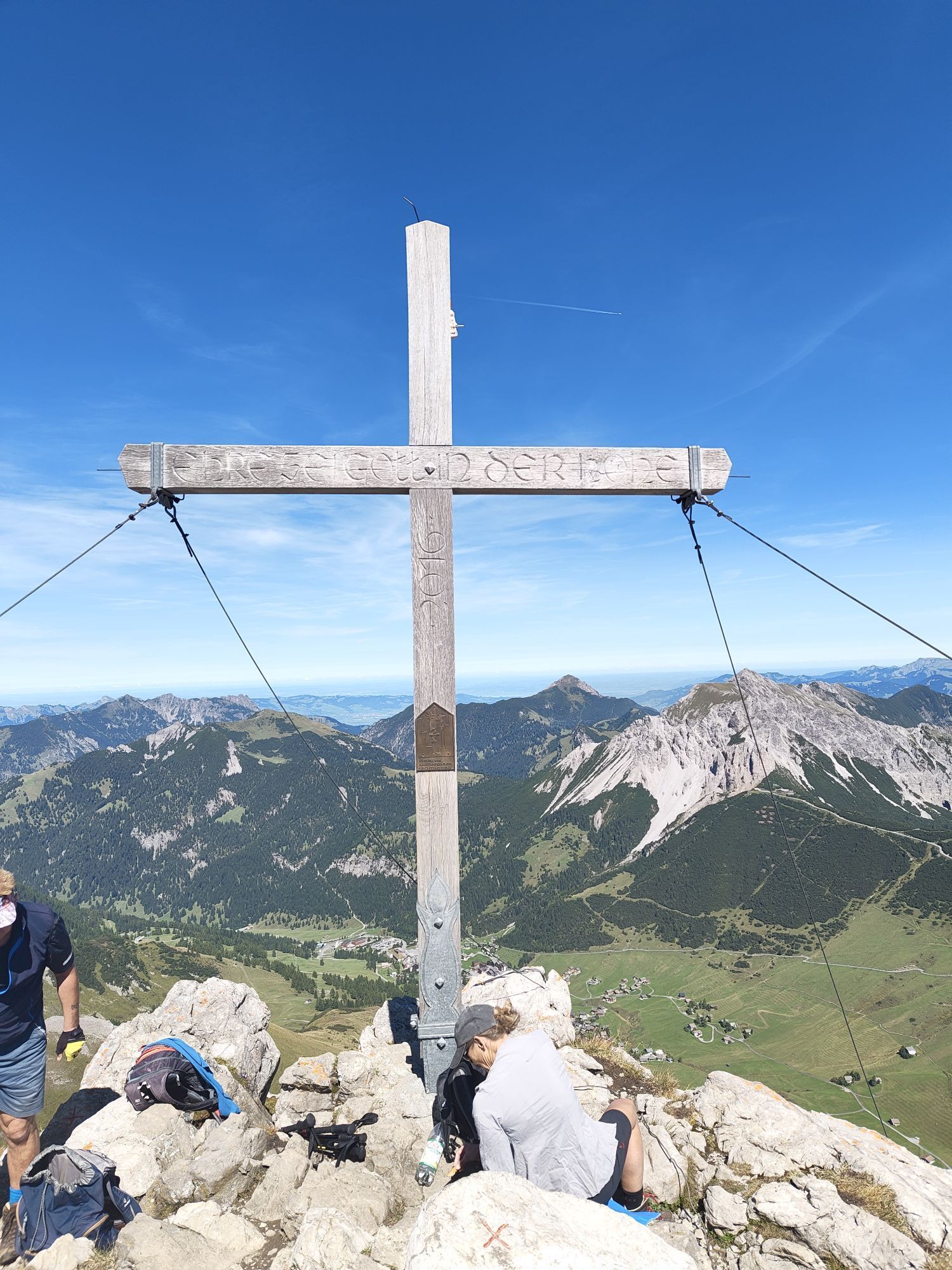
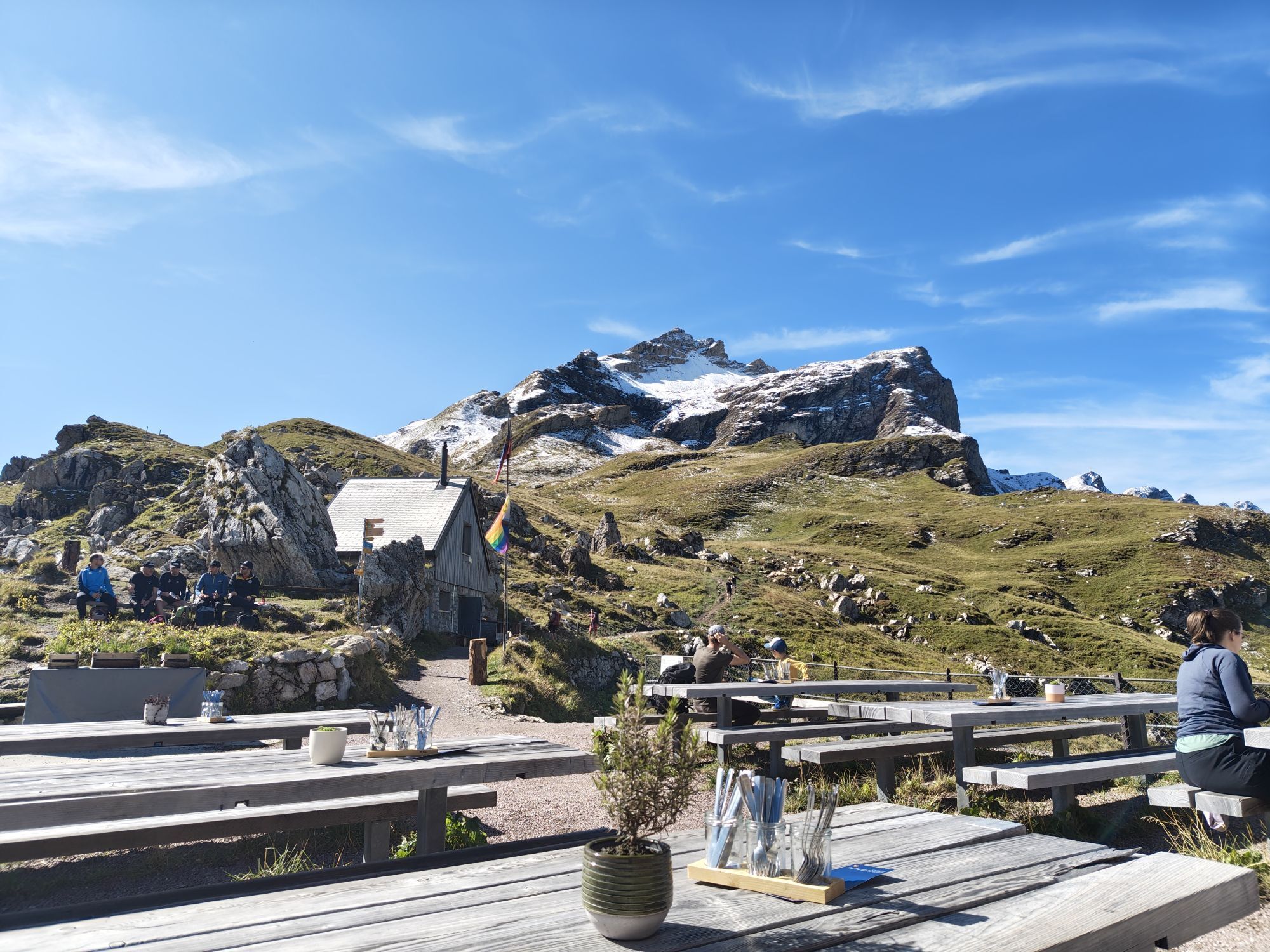
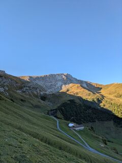
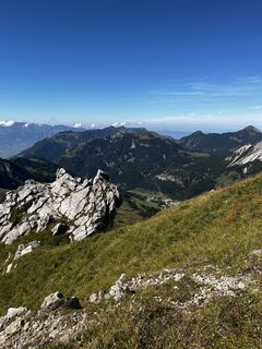
Magnificent circular hike on the Fürstin-Gina-Weg to the Augstenberg and along the flower-covered ridge on a secured mountain path down to the Pfälzerhütte of the Liechtenstein Alpine Club (2108 m) at...
The Pfälzerhütte on the Austrian border is the starting point for the Liechtenstein trail to Schesaplana.
Tip: rewarding ascent on the marked mountain trail to the Naafkopf (2570 m). Descent from the Pfälzerhütte on marked mountain trails through the Naaftal or from Gritsch via the Rettaweg to Steg. Marked mountain trails to Nenzinger Himmel, Malanser Älplibahn or Schesaplanahütte.
Variants:
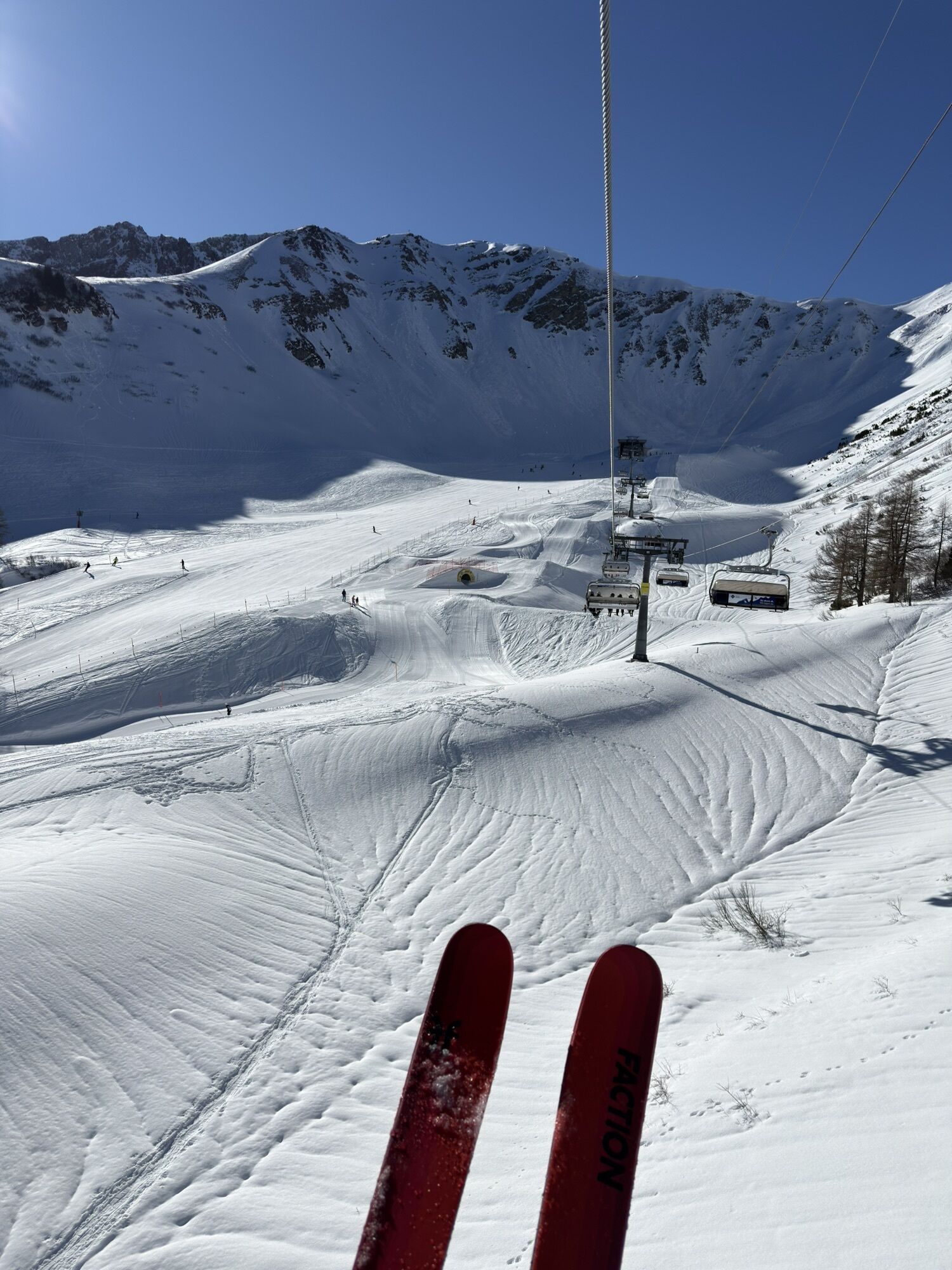
A: Take the chairlift to Sareis and continue to Sareiserjoch (altitude difference: -376 m / duration: -45 min.)
B: From the Pfälzerhütte to the Naafkopf (length: 2 km / altitude difference: 462 m)
Here you can find all information about hiking in Liechtenstein at a glance!

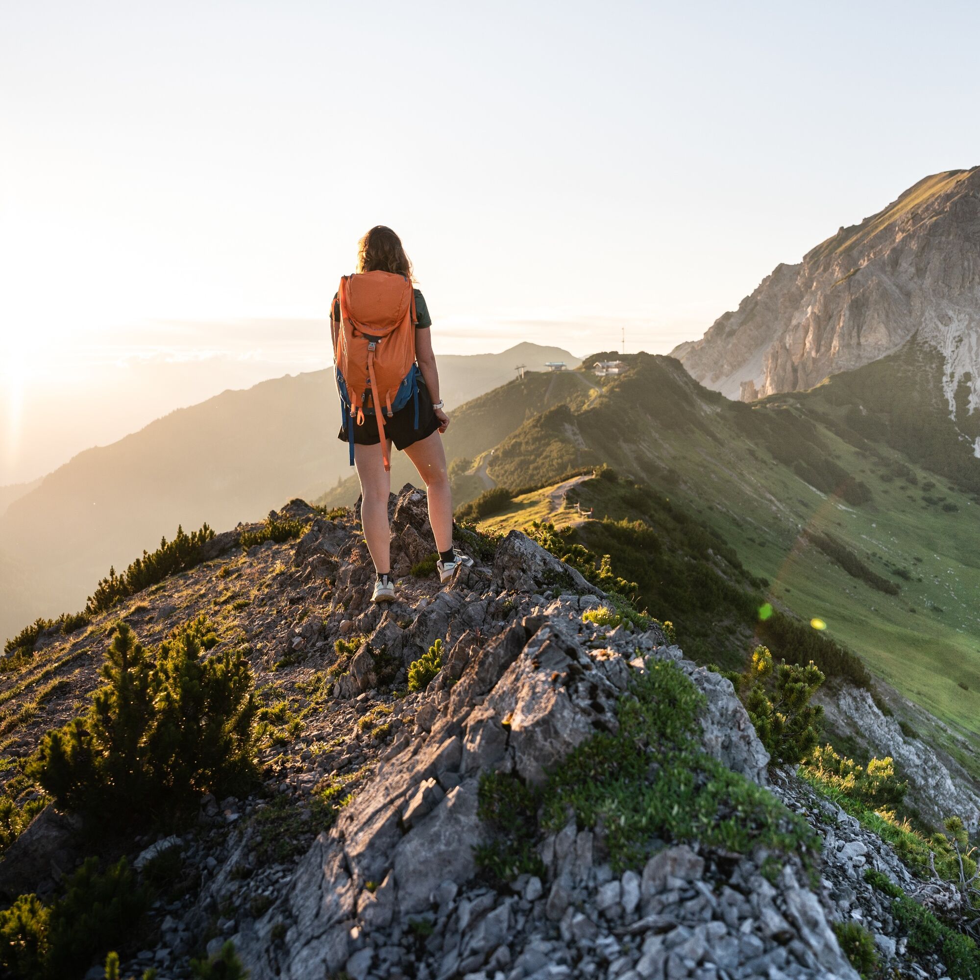
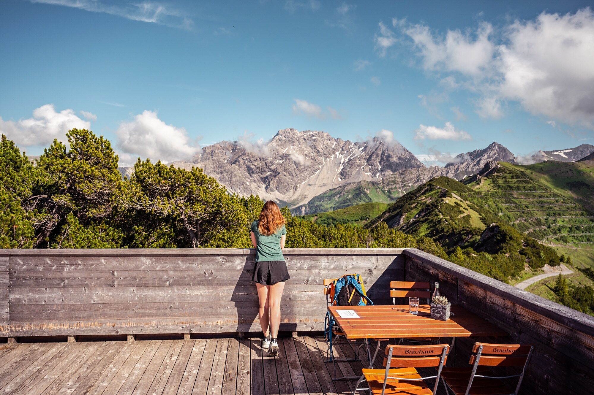
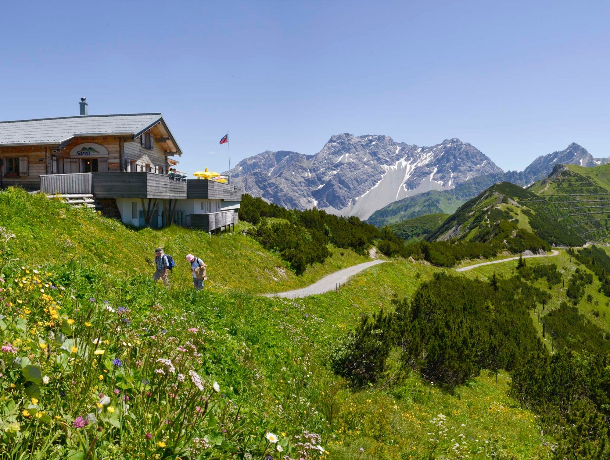
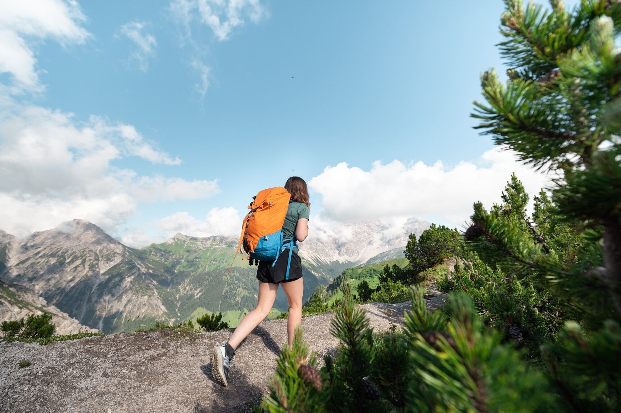
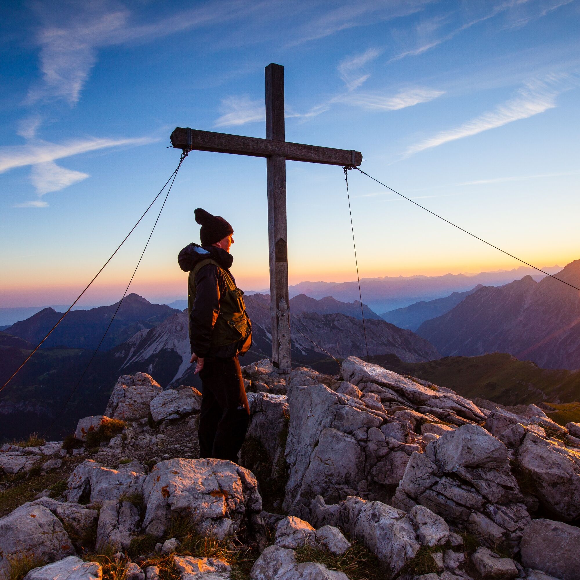
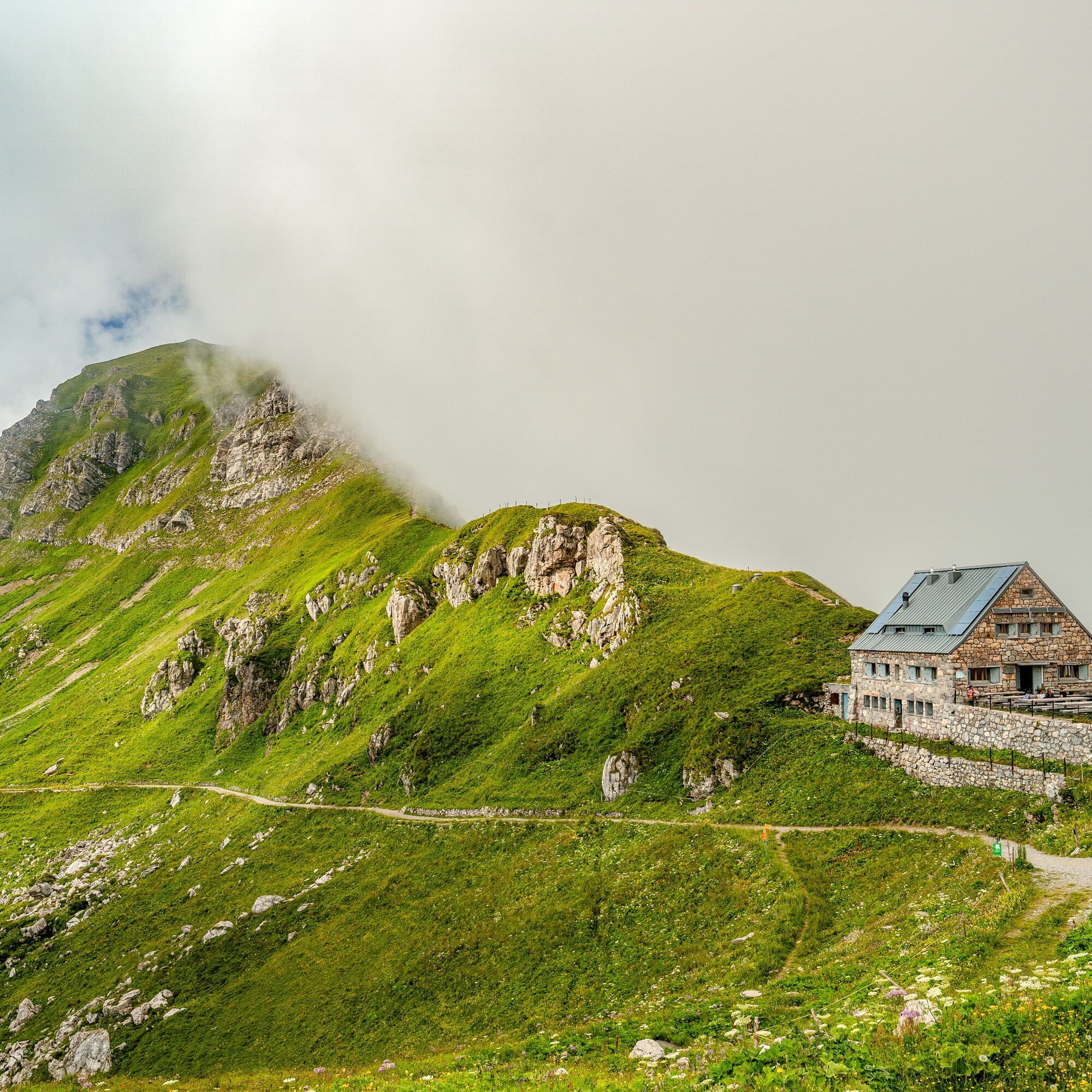
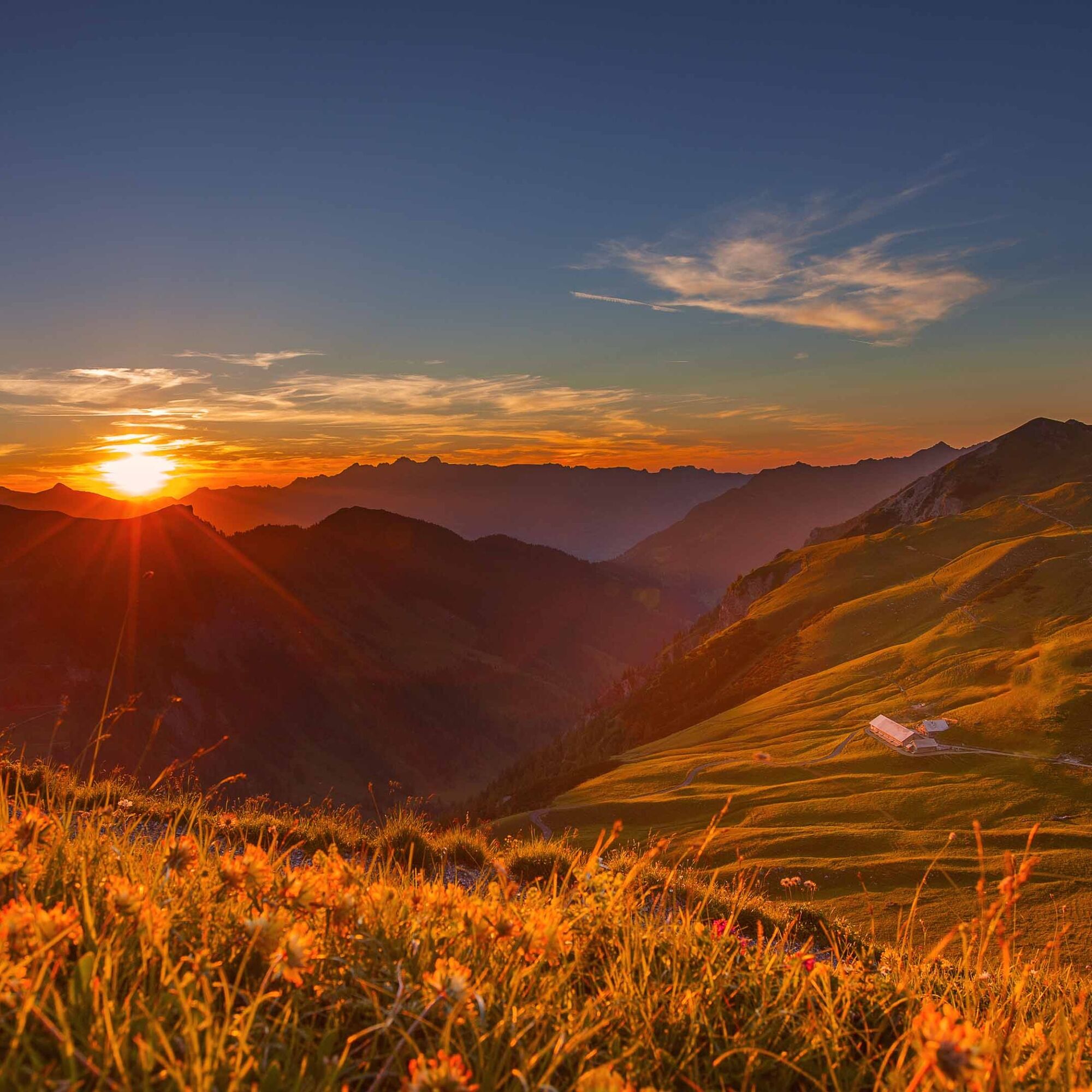
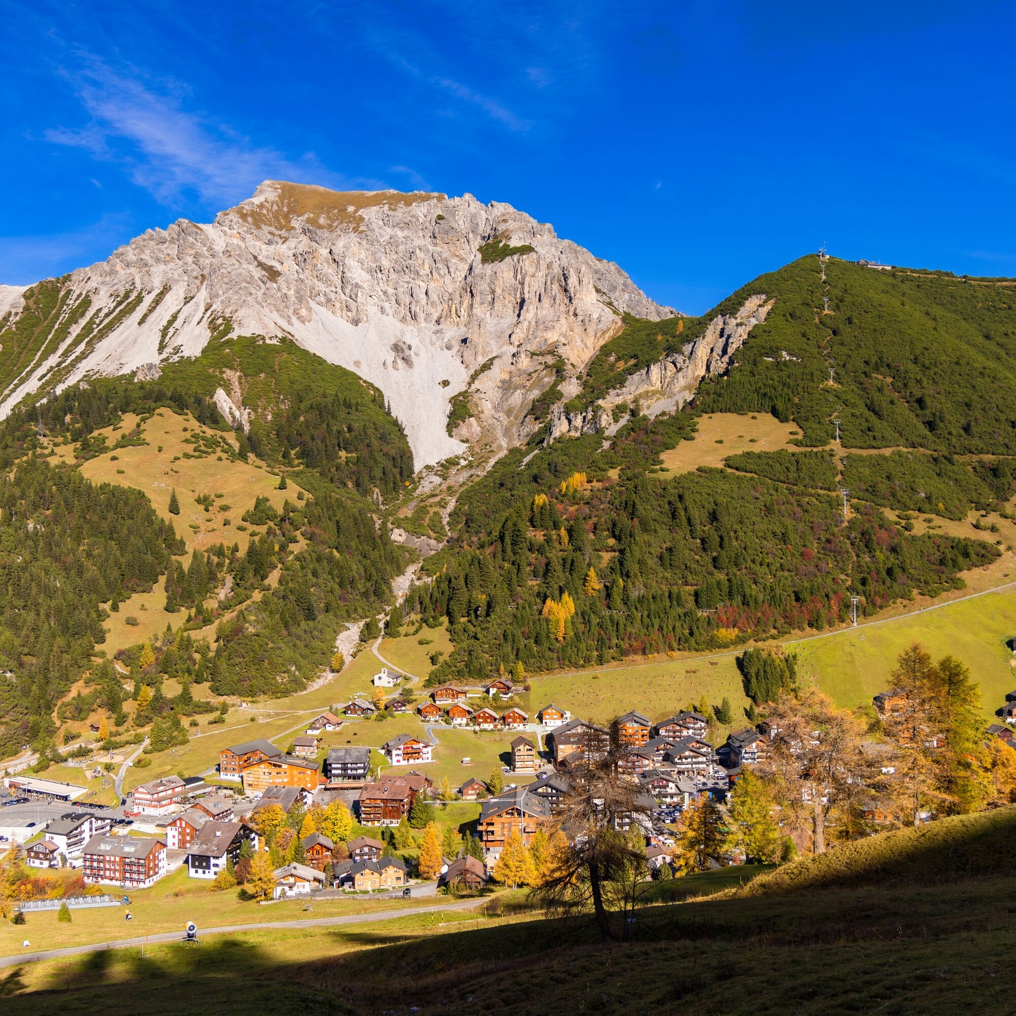

Malbun - Sareiserjoch - Fürstin-Gina-Weg - Augstenberg - Pfälzerhütte - Gritsch - Täle Höhe - Malbun
Ano
Ano
Careful planning is required before embarking on a tour. We recommend that you check the routes and weather conditions with the local information offices beforehand. Depending on the time of year and weather conditions, this route may be closed or interrupted.
Parking is available at the entrance to the village of Malbun.



 Získejte přehled Vždy živě na místě s více než 9 500 webkamerami. bergfex Jako uživatel Pro si nyní můžete zobrazit odpovídající webové kamery pro mnoho prohlídek v aplikaci prohlídky z. Můžete si tak přímo prohlédnout aktuální podmínky.


Oblíbené prohlídky v okolí
- 4,2
Mondspitze (Montspitze)
středníTuristika 7,97 km - 5,0
Douglasshütte, Lünersee, Gafalljoch Brand bei Bludenz, Vorarlberg
světloTuristika 9,16 km - 3,8
Sassweg - von Malbun zum Sass-Seelein
Turistika 4,14 km - 3,7
Fürstin-Gina-Weg
Turistika 10,7 km - 4,6
To the summit cross of the Alpspitz
světloTuristika 6,27 km - 4,8
Douglashütte - Schesaplana
středníTuristika 7,31 km - 4,8
From Malbun to the Schönberg
středníTuristika 12,4 km - 4,6
Pizalun circular route
světloTuristika 7,18 km - 4,6
Tamina Gorge Circular Route
středníTuristika 14,0 km - 3,5
Fürstensteig-Drei Schwestern
Turistika 12,9 km

Pěší turistika a stopování


Nenechte si ujít nabídky a inspiraci pro vaši příští dovolenou
Vaše e-mailová adresa byl přidán do poštovního seznamu.





