


Obergurnigel Trail (SchweizMobil 114)
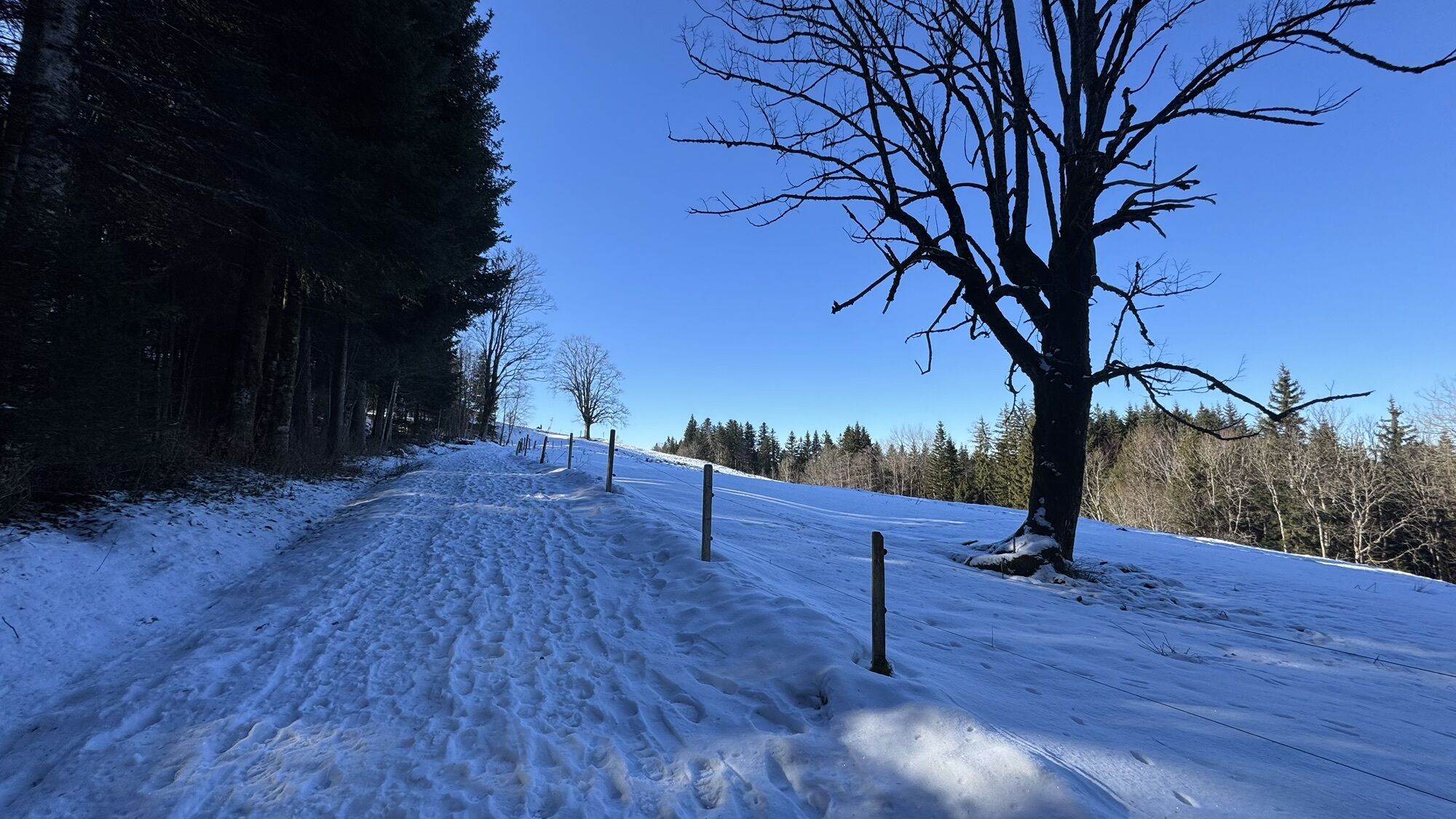
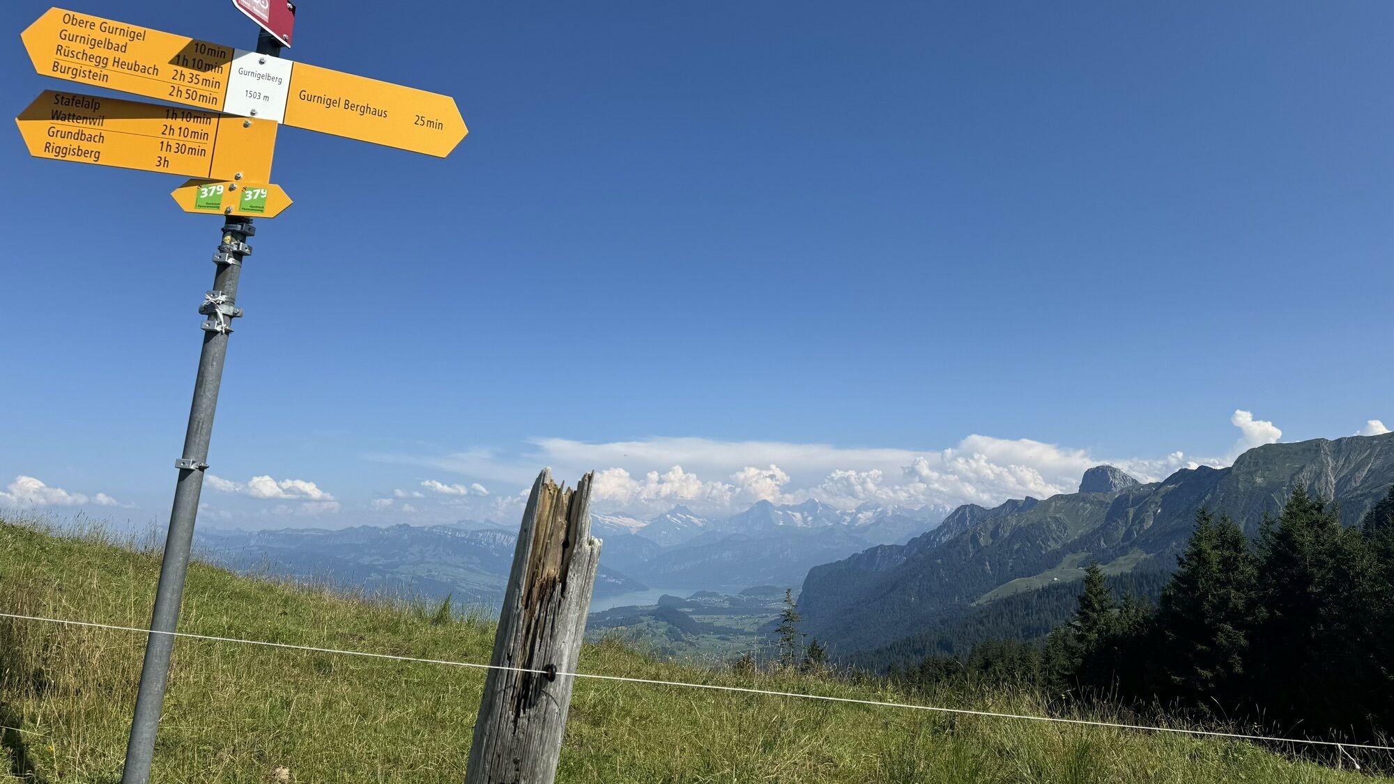
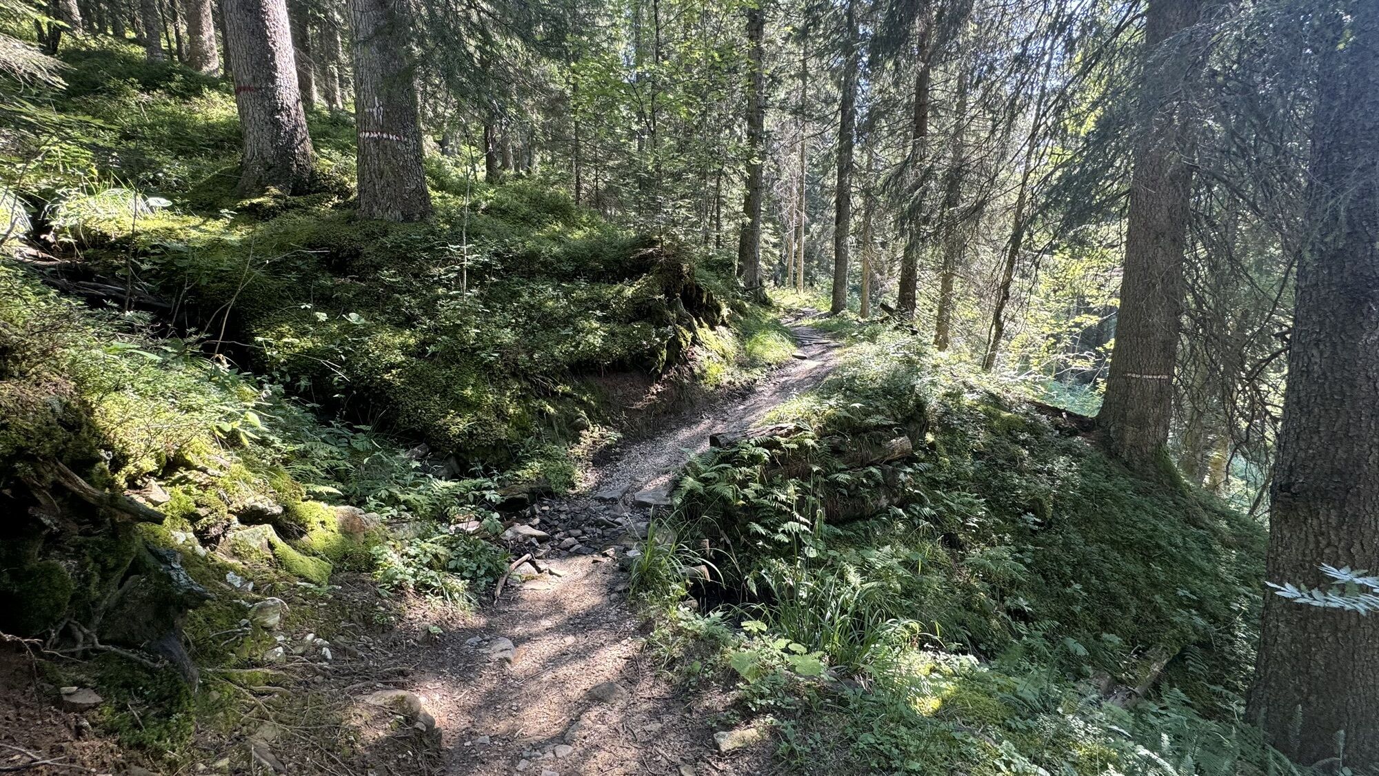
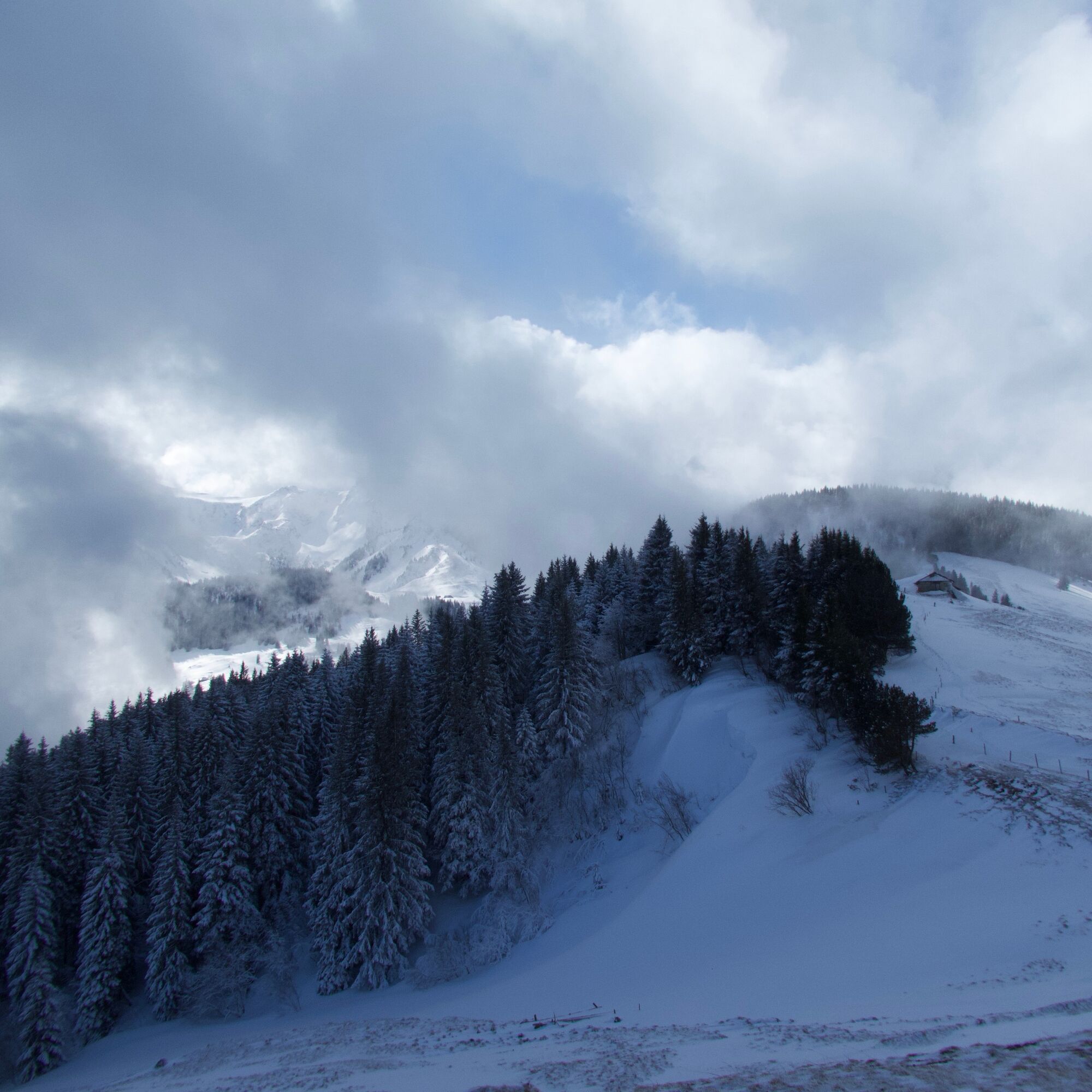
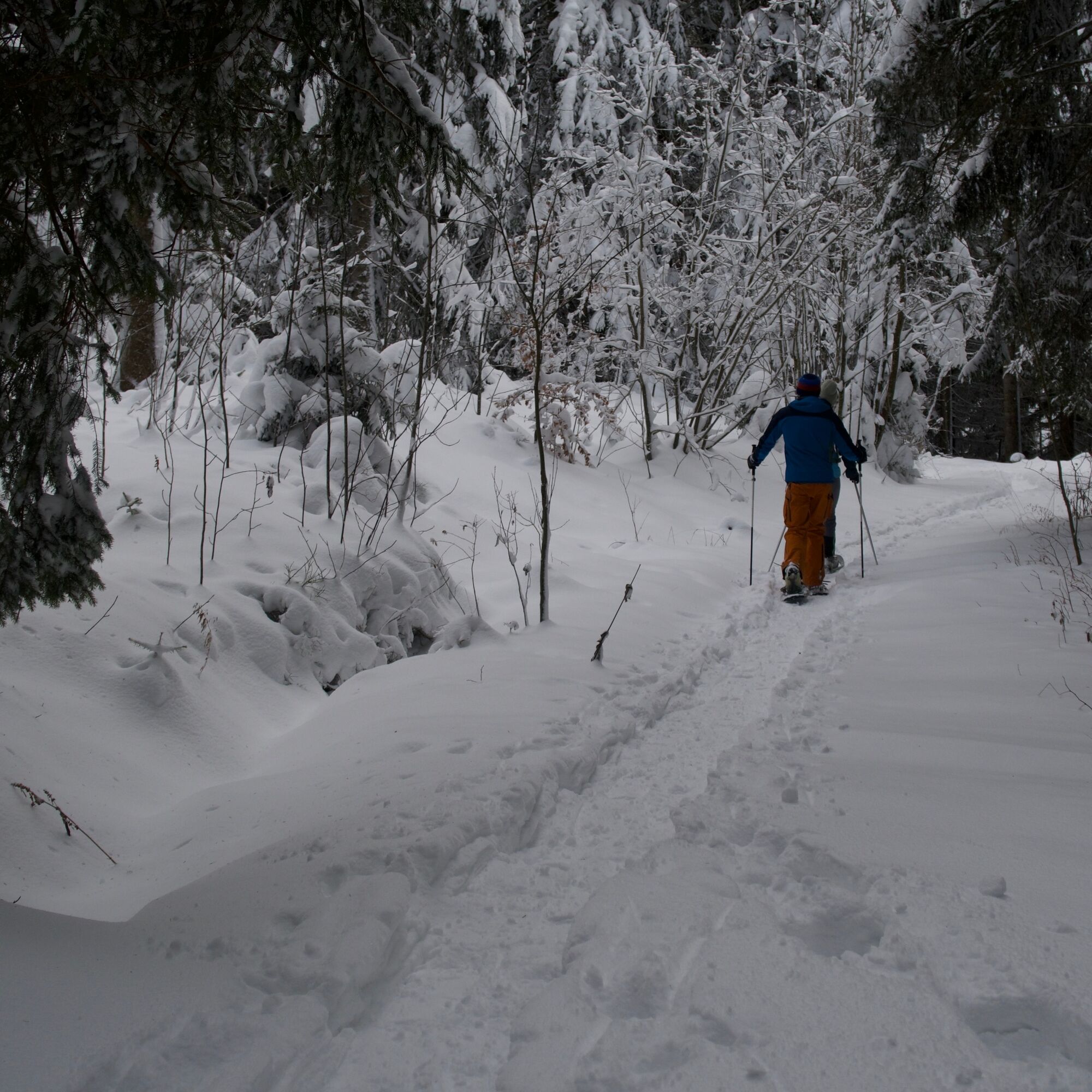
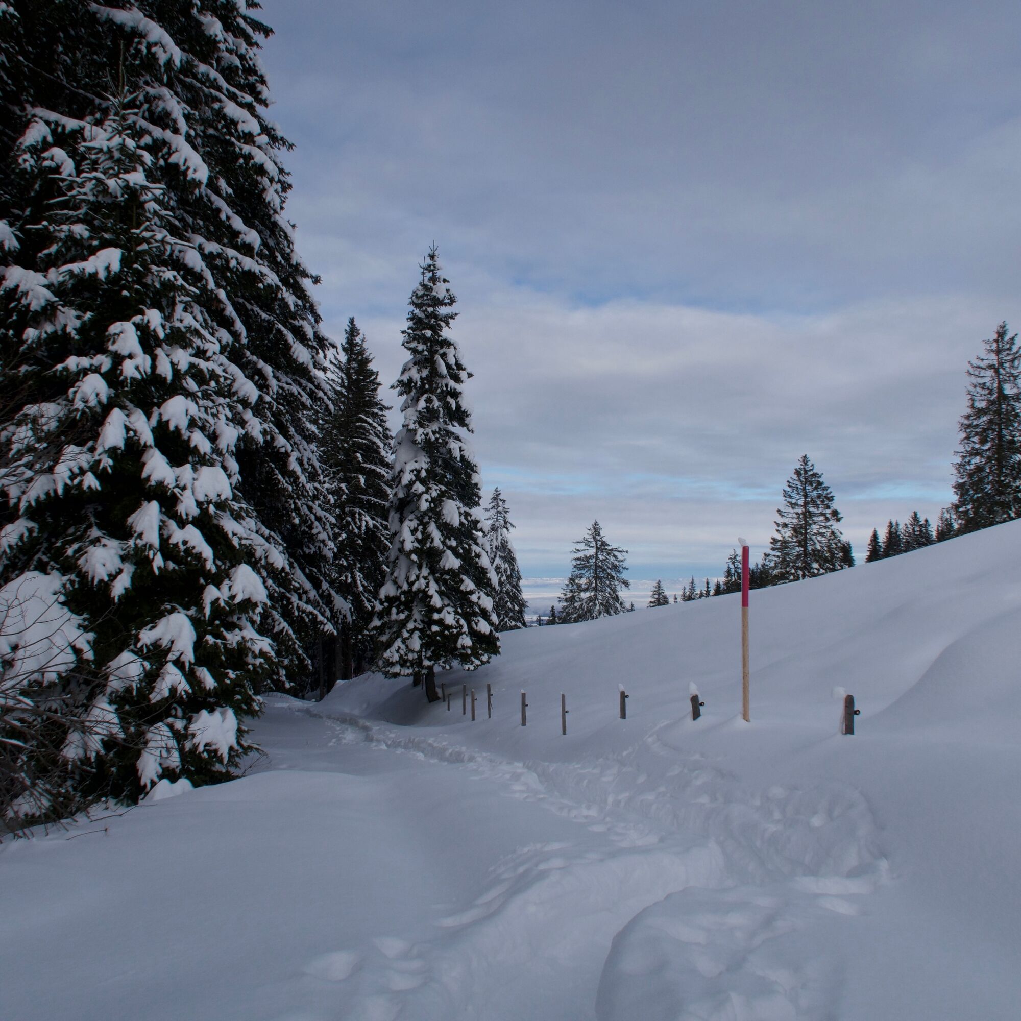
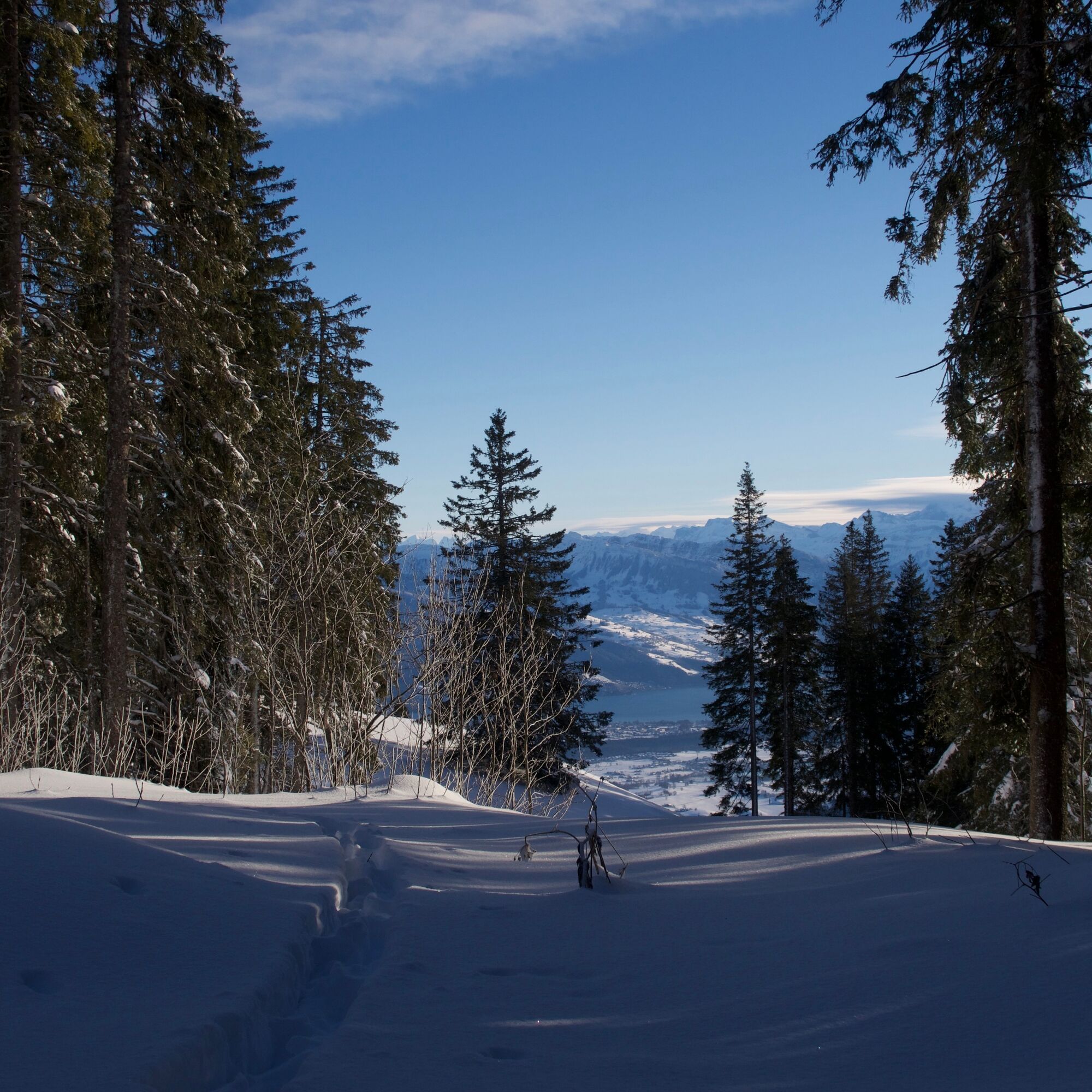
The trail starts at the Berghaus Gurnigel on the pass of the same name. It first leads gently downhill through a fir forest to the Alp Gurnigelberg. Often, snowdrifts piled up by the west wind line the...
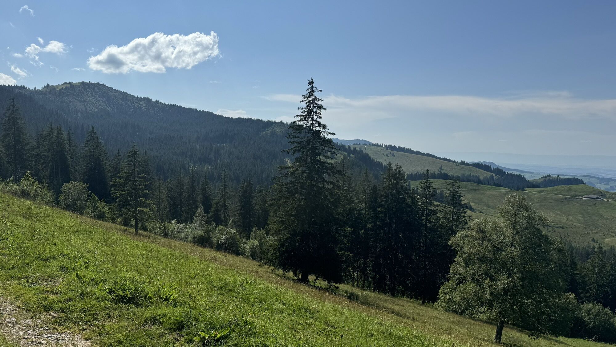
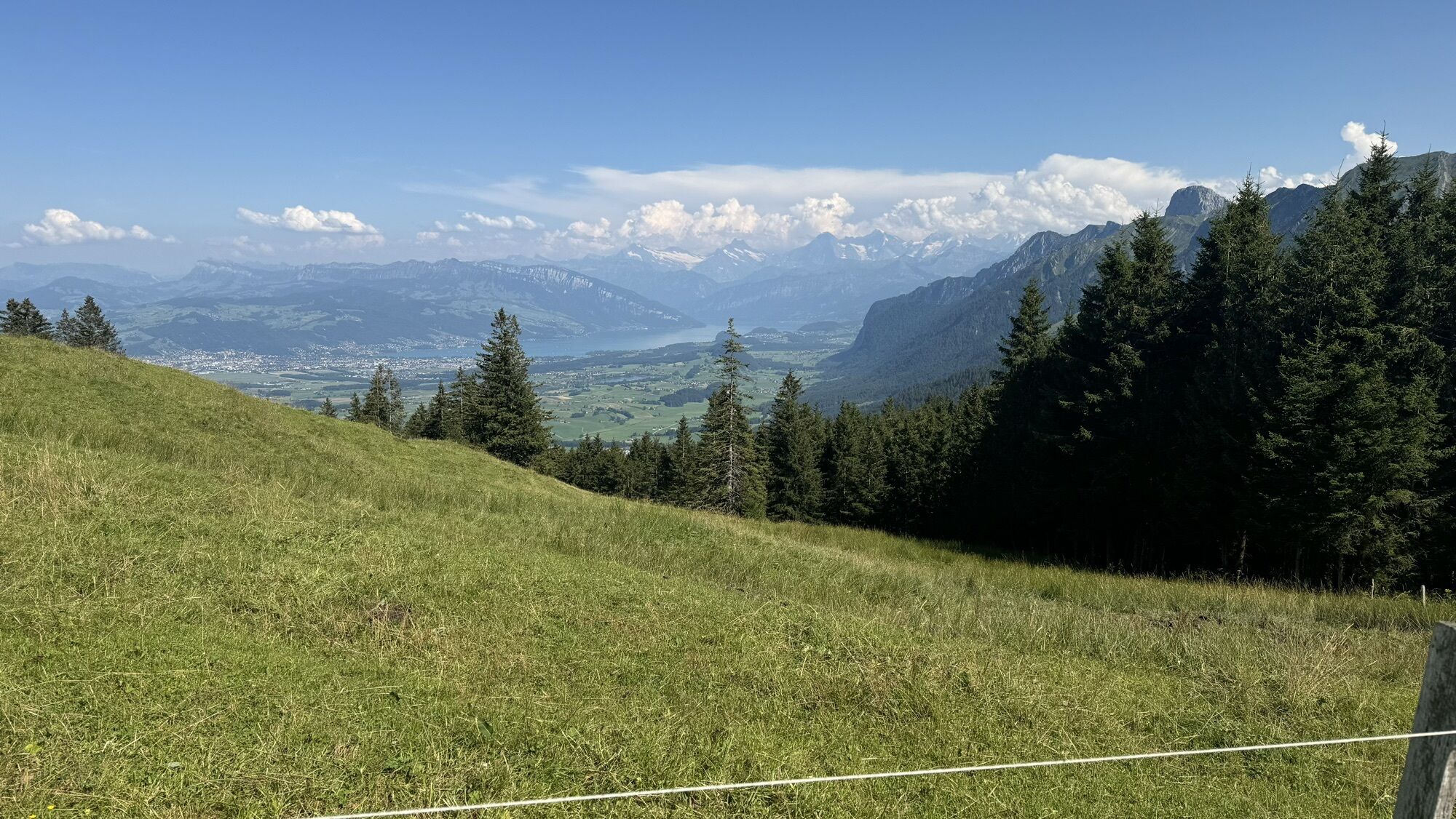
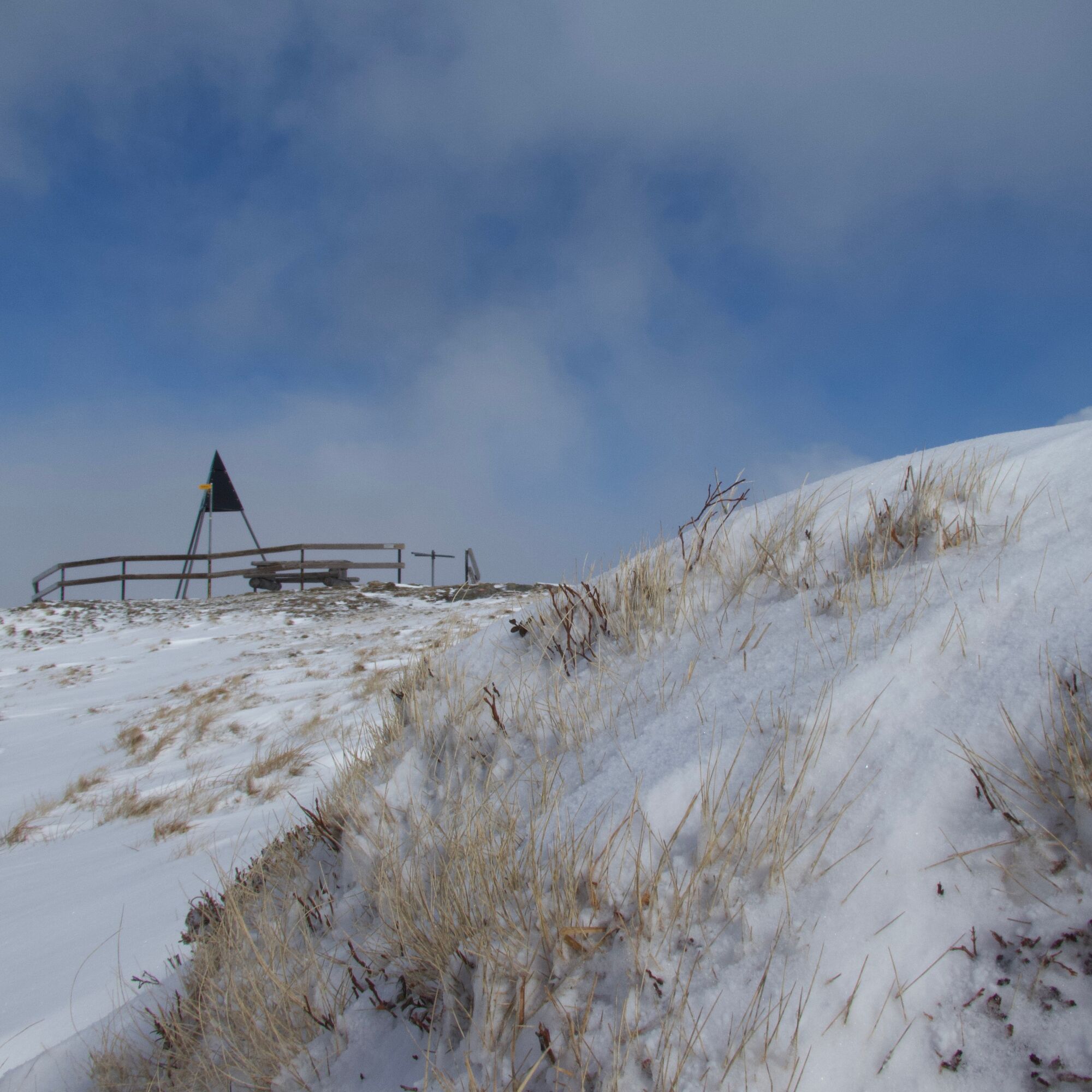
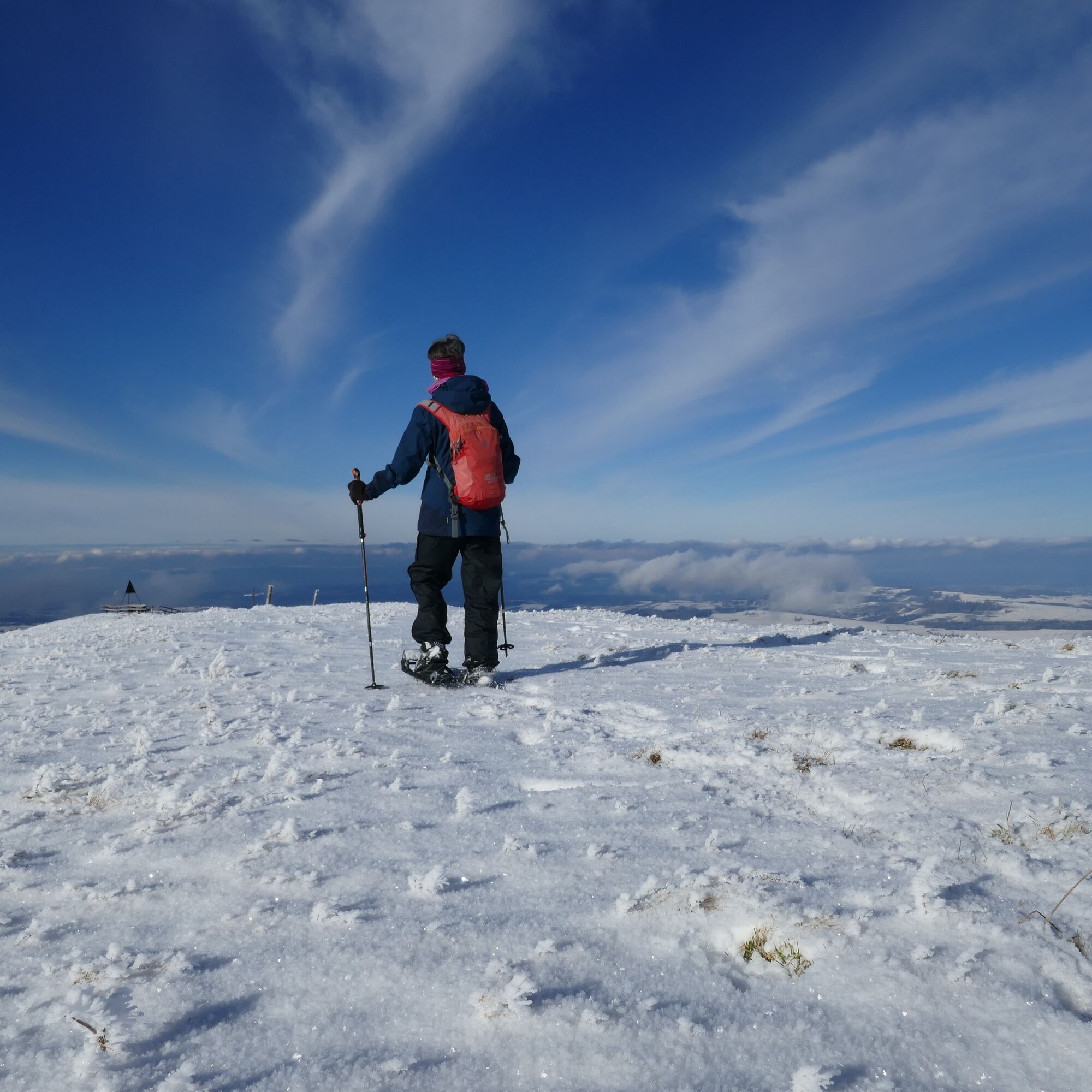
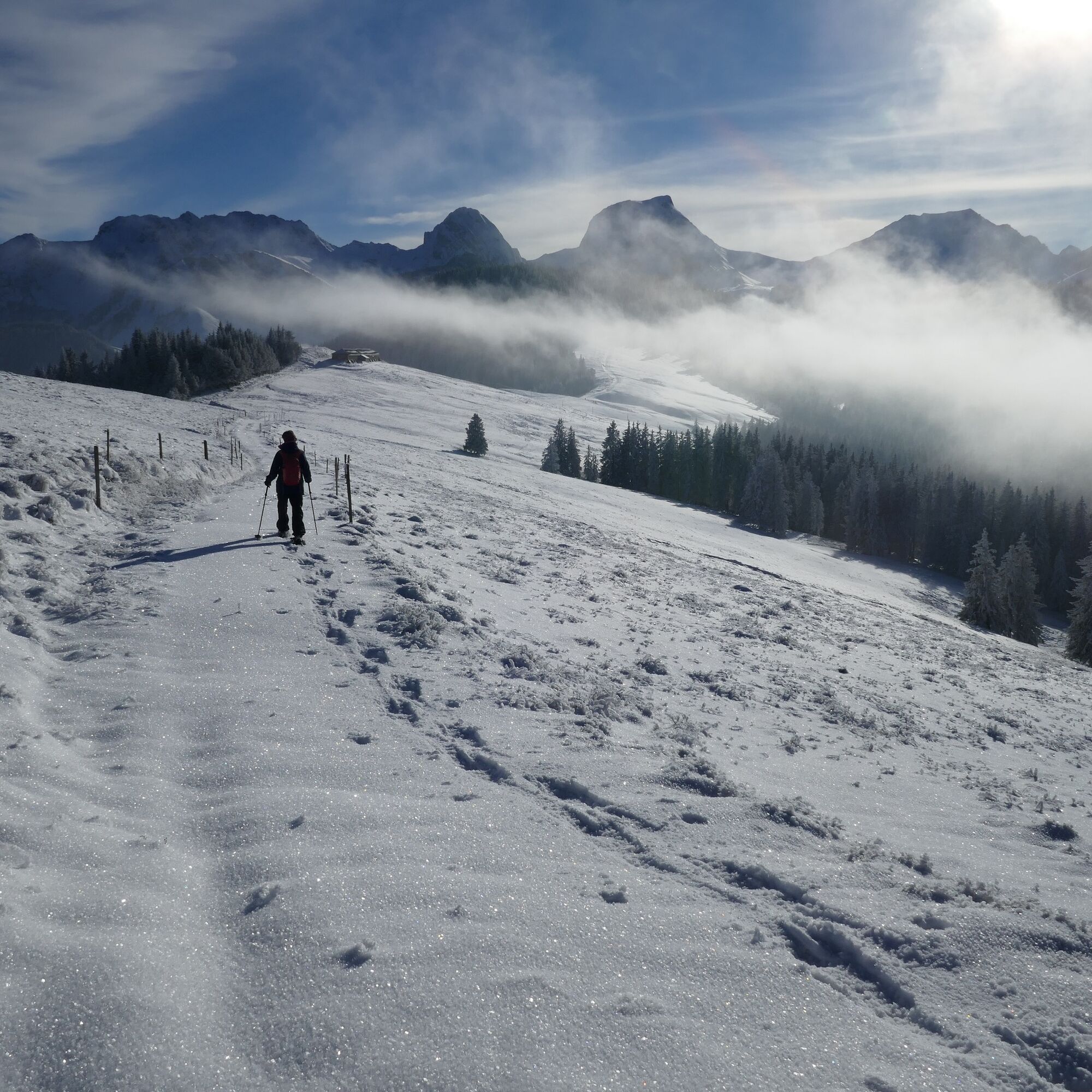
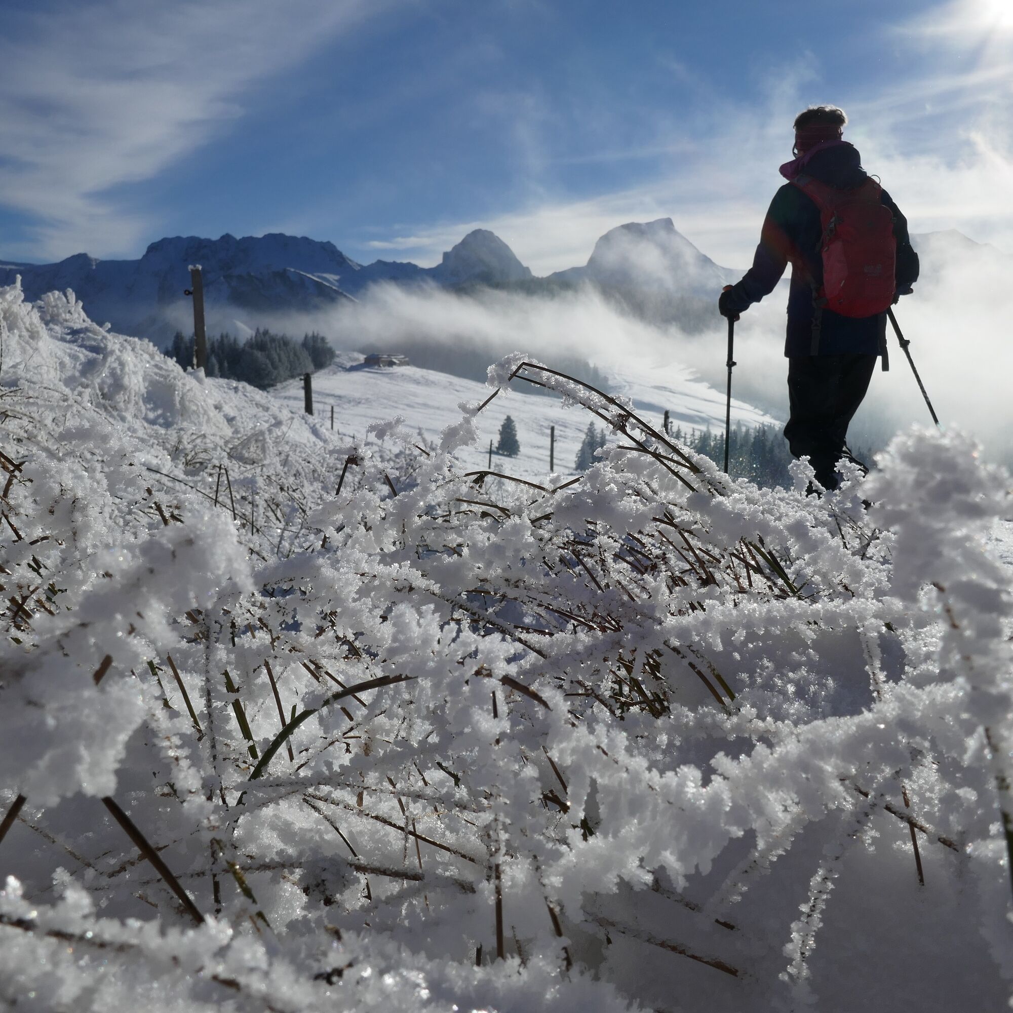
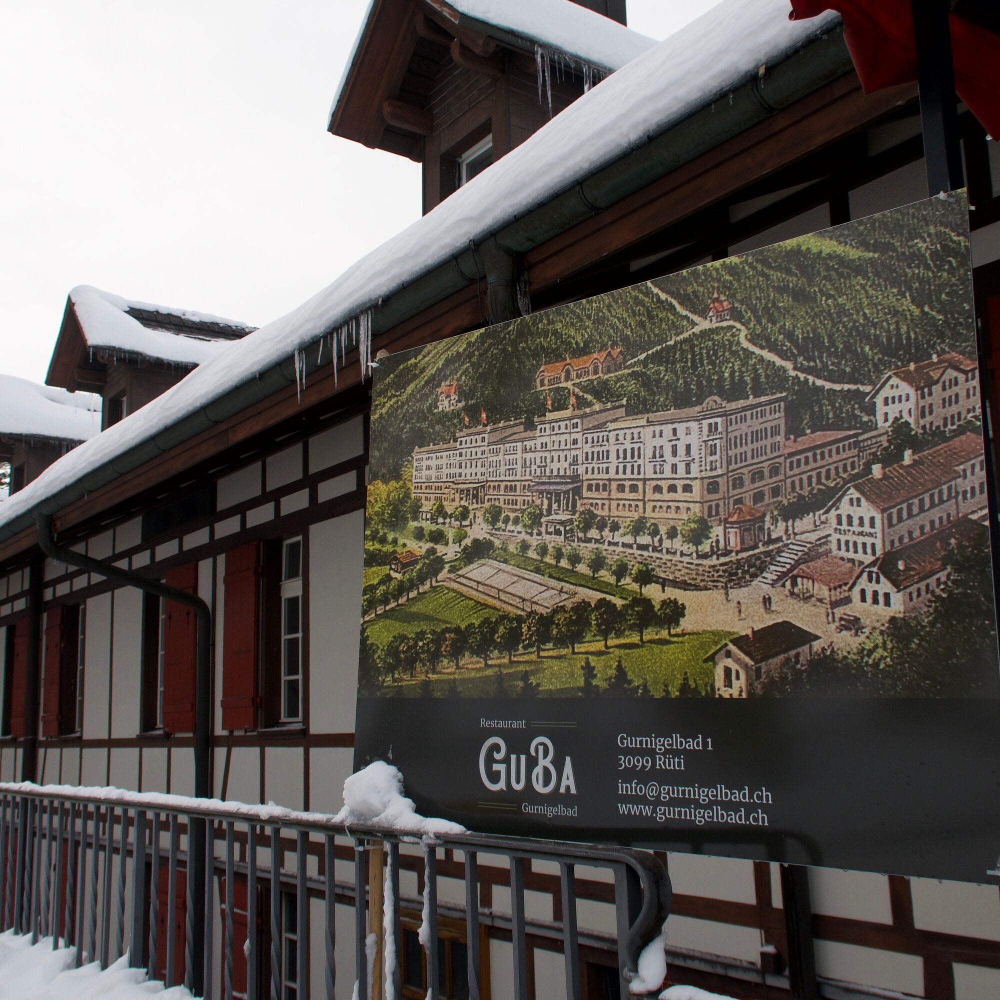
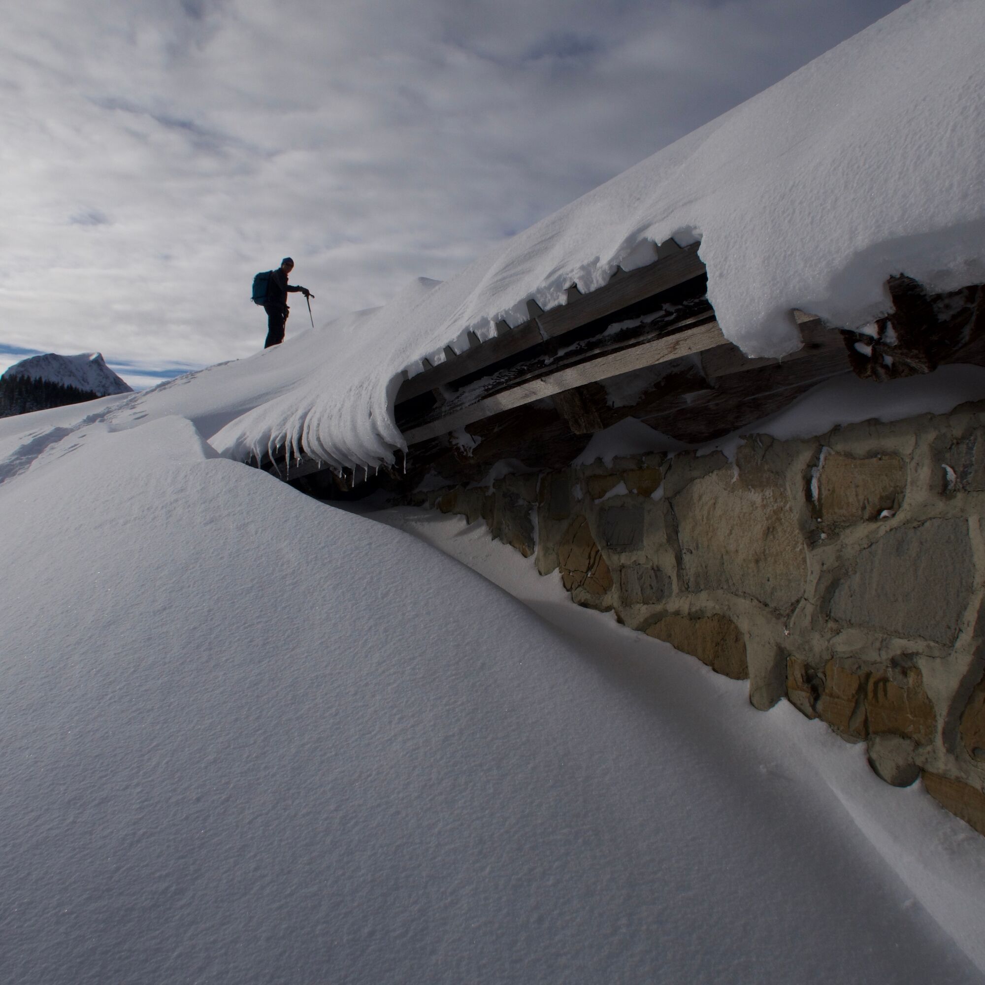
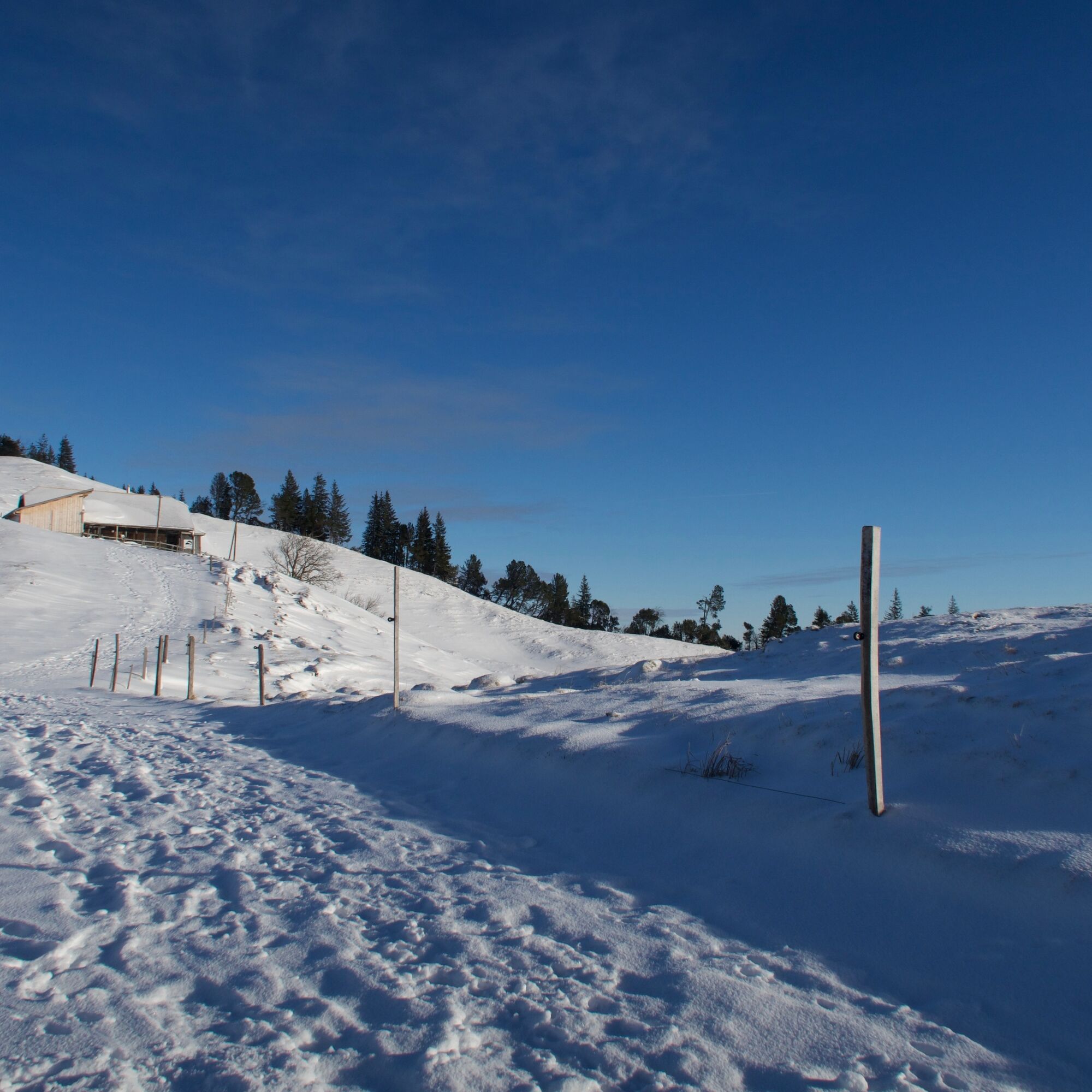
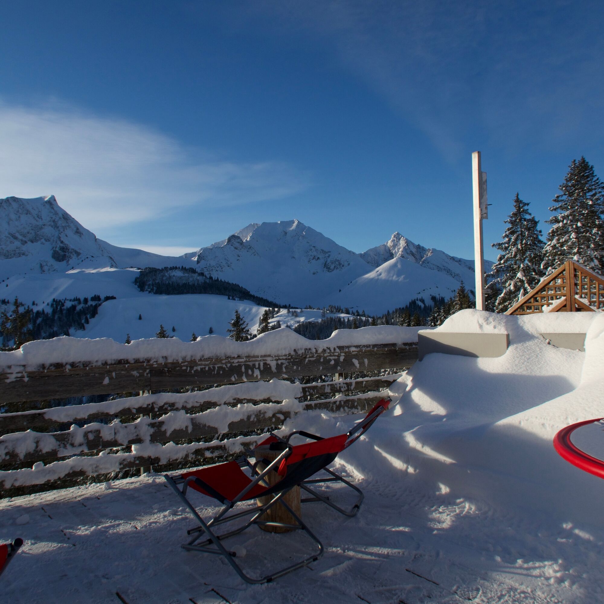
The trail starts at the Berghaus Gurnigel on the pass of the same name. It first leads gently downhill through a fir forest to the Alp Gurnigelberg. Often, snowdrifts piled up by the west wind line the path. The view opens more and more towards the east to Lake Thun and the snow-covered mountains of the Bernese Oberland. The trail now gently climbs over open alpine pastures and follows the ridge to the Obere Gurnigel. The viewpoint is reached at the pyramid-shaped survey marker and the resting benches. The views towards the Gürbetal, the city of Bern, down to the Mittelland, and towards the Emmental are impressive. In clear weather, even the highest Jura ranges are visible. A special experience awaits the visitor when a fluffy fog layer covers the Mittelland and rolls like sea waves against the Obere Gurnigel. Above the forested hills of Zigerhubel and Selibühl, the rugged peaks of the Gantrisch range are always visible. The return path follows the same route past the Gurnigel mountain hut. Shortly afterwards, the junction follows: From Gurnigelberg the trail descends through the forest. Along the summer bike route and then at the edge of the ski slope and the lift track, it ends at the historic Gurnigel Bad. The sulfurous healing water still springs from the fountain in front of the hotel and restaurant, a former outbuilding of the Grand Hotel Gurnigelbad. Nothing much remains of the once proud hotel, which already in the second half of the 19th century attracted noble guests from all over Europe. The Grand Hotel experienced a last heyday before the First World War. After the Second World War, it finally ended with the demolition of the dilapidated main building. Of course, the trail can also be started from here or from the Oberer Gurnigel bus stop.
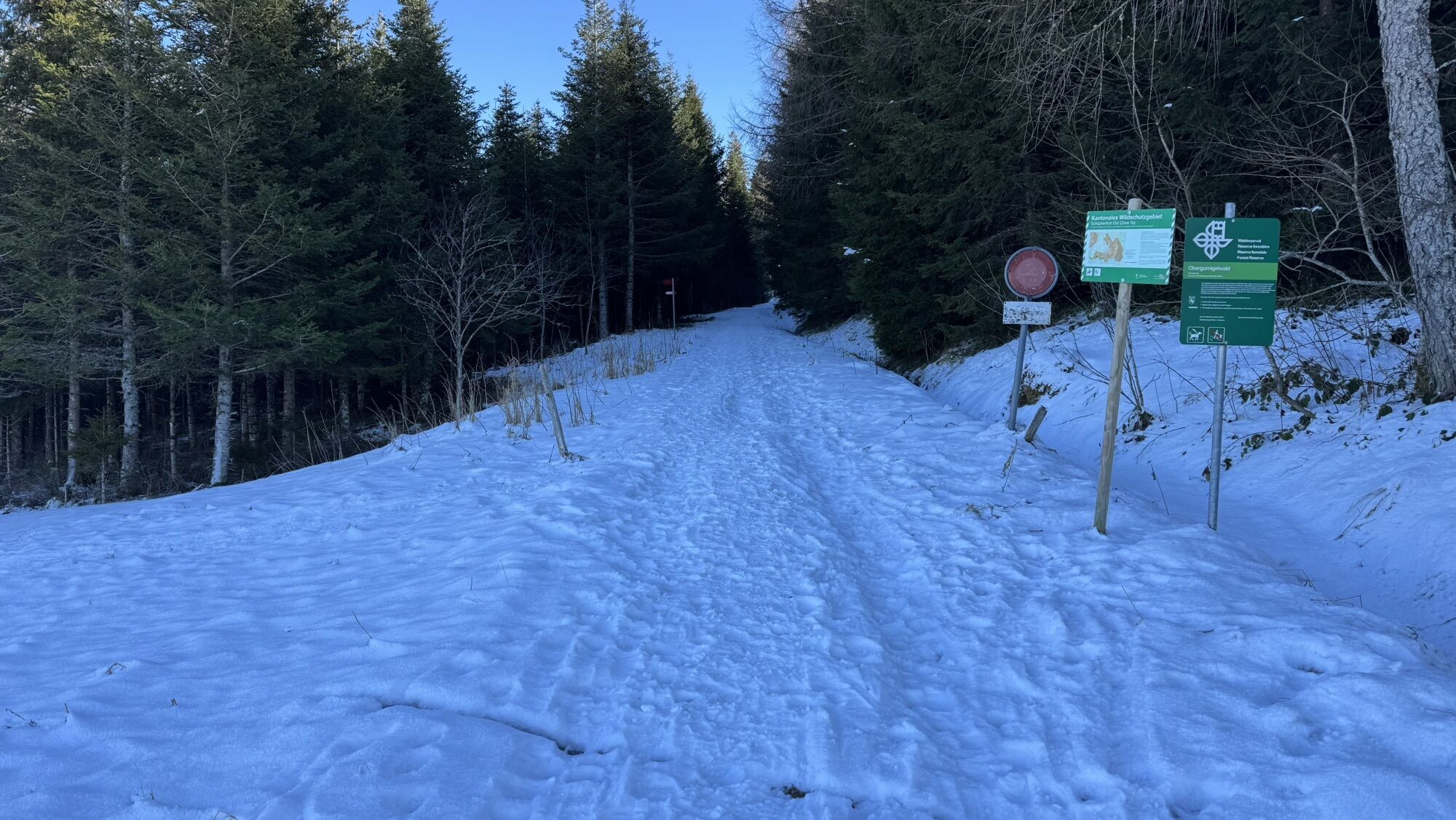
If there is little snow, this route is also suitable as a winter hiking trail. It is marked as a snowshoe trail, so it is not groomed.
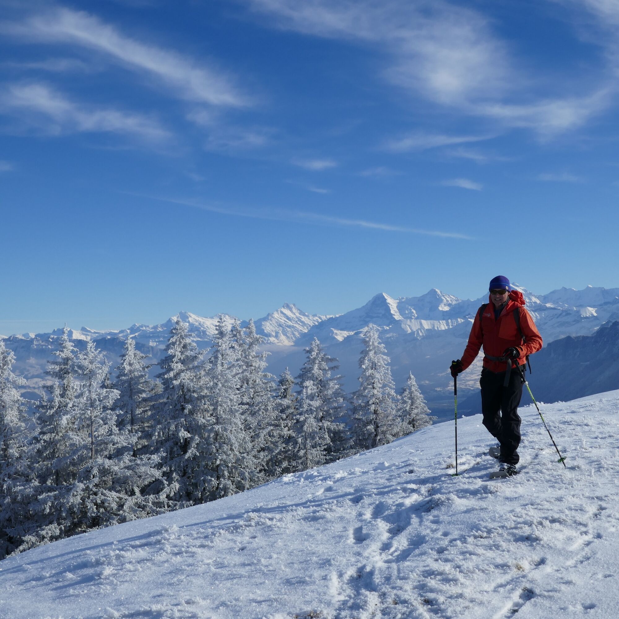
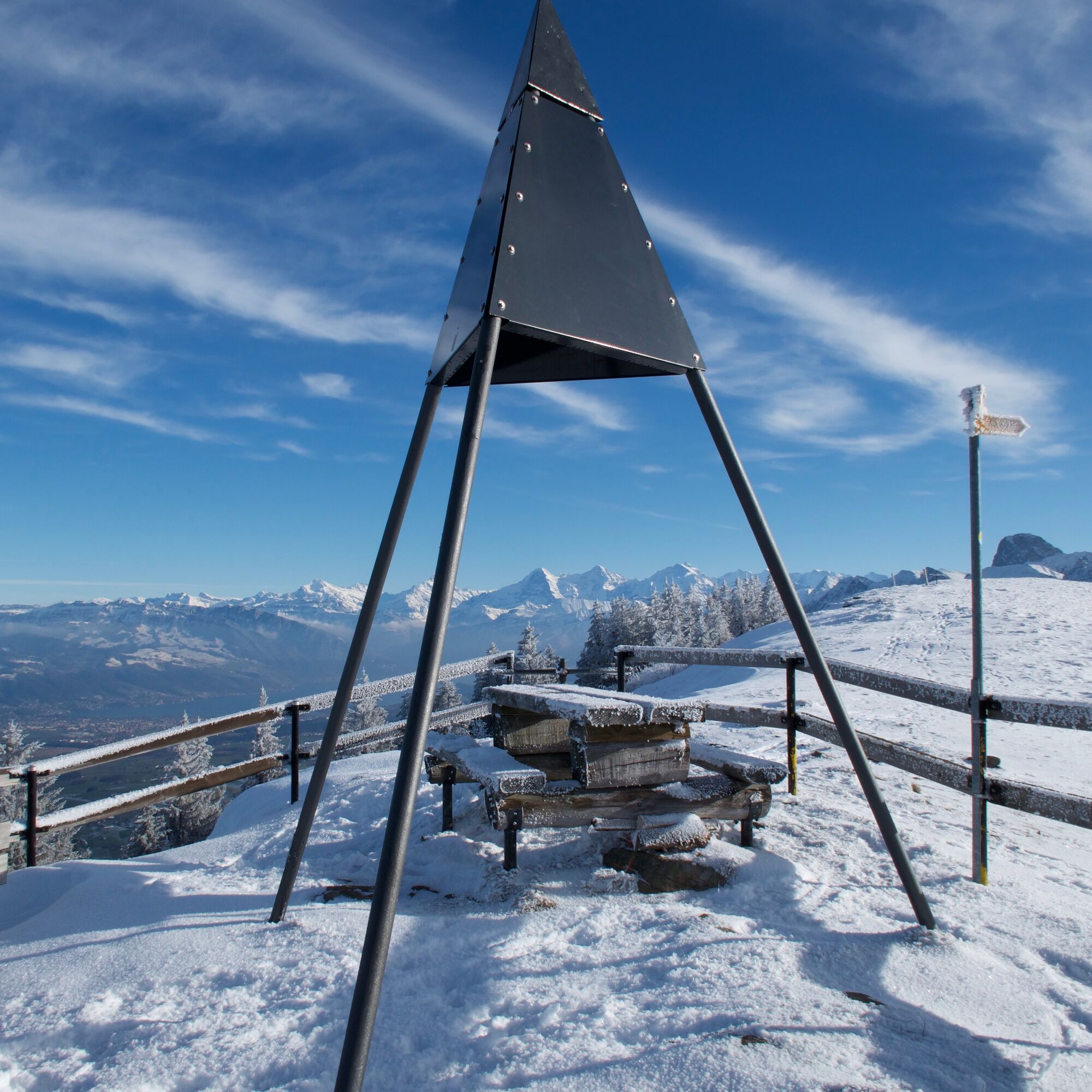
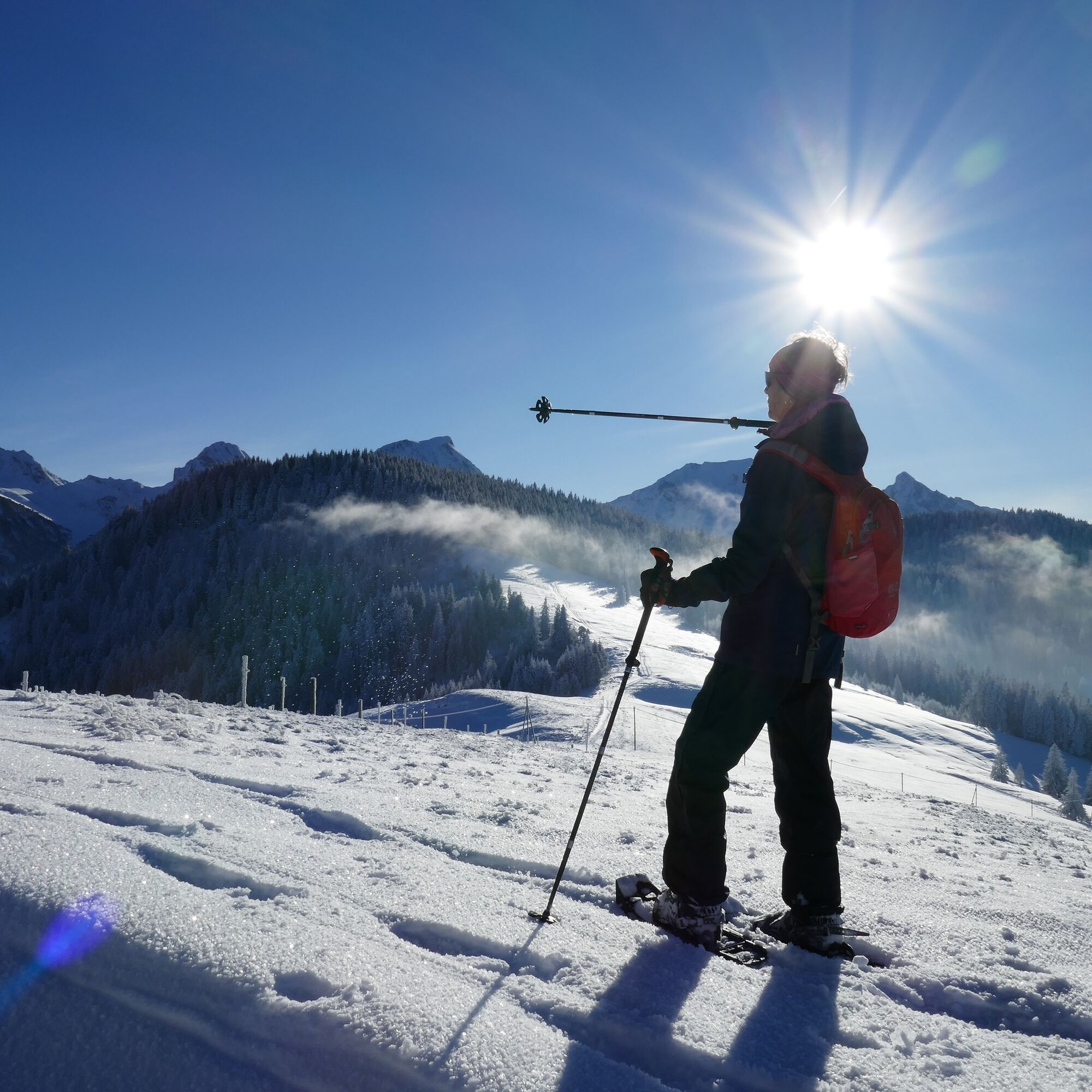
The trail is a winter sports permitted route through a cantonal wildlife protection area. Without snowshoes, it is additionally permitted to use the hiking trail around the Zigerhubel or to descend directly from the triangulation point on the Obere Gurnigel to the Gurnigel Bad.
More information about the wildlife quiet zones at www.wildruhezonen.ch
or directly the link to the map section
Ano
Ano
Equipment rental
Gurnigel Berghaus, Gurnigel (self-service at the cross-country ski rental) Schwarzenbühl Kurhaus (self-service at the cross-country ski rental) Gantrisch Bike & Sport, RiggisbergGurnigel, Stierenhütte
Gurnigel, Bad
Arrival
Oblíbené prohlídky v okolí
-
4.8
Wasserscheide - Gantrisch Seeli
světloTuristika 9.33 km -
4.5
Gantrisch Summit Hike, 2176 m elevation
středníTuristika 9.13 km -
4.0
High-altitude hike Gurnigel - Stockhorn
středníTuristika 11.2 km -
4.7
Summit hike Ochsen, 2188 m.a.s.l.
středníTuristika 7.94 km -
Anspruchsvolle Wanderung im Simmental
středníTuristika 19.0 km -
4.0
Circular hike Gürbequelle
středníTuristika 8.24 km -
Selibühl Panoramatrail (SchweizMobil 113)
světloSněžnice 4.34 km -
5.0
Gürbetaler Höhenweg (Switzerland Mobility 380) - Beware detour
středníTuristika 18.2 km -
5.0
Vreneli Trail Guggisberg
středníTematická stezka 5.35 km -
4.0
Kaisereggpass
středníTuristika 17.9 km

Pěší turistika a stopování


Nenechte si ujít nabídky a inspiraci pro vaši příští dovolenou
Vaše e-mailová adresa byl přidán do poštovního seznamu.