


Hike to Lac Vert (Chésery)







The Portes du Soleil region is generally known as an international holiday region that extends across the Swiss border into France. In winter, the region is one of the largest ski areas in Switzerland...
The Portes du Soleil region is generally known as an international holiday region that extends across the Swiss border into France. In winter, the region is one of the largest ski areas in Switzerland and in summer a paradise for hikers and nature lovers.
Indeed, the name of the Portes du Soleil region is not invented; it derives from the Alpine pass of the same name, which is on the Swiss side of the national border. This pass connects the Val de Morgins with the Val d’Illiez - a section of the hike crosses the pass.
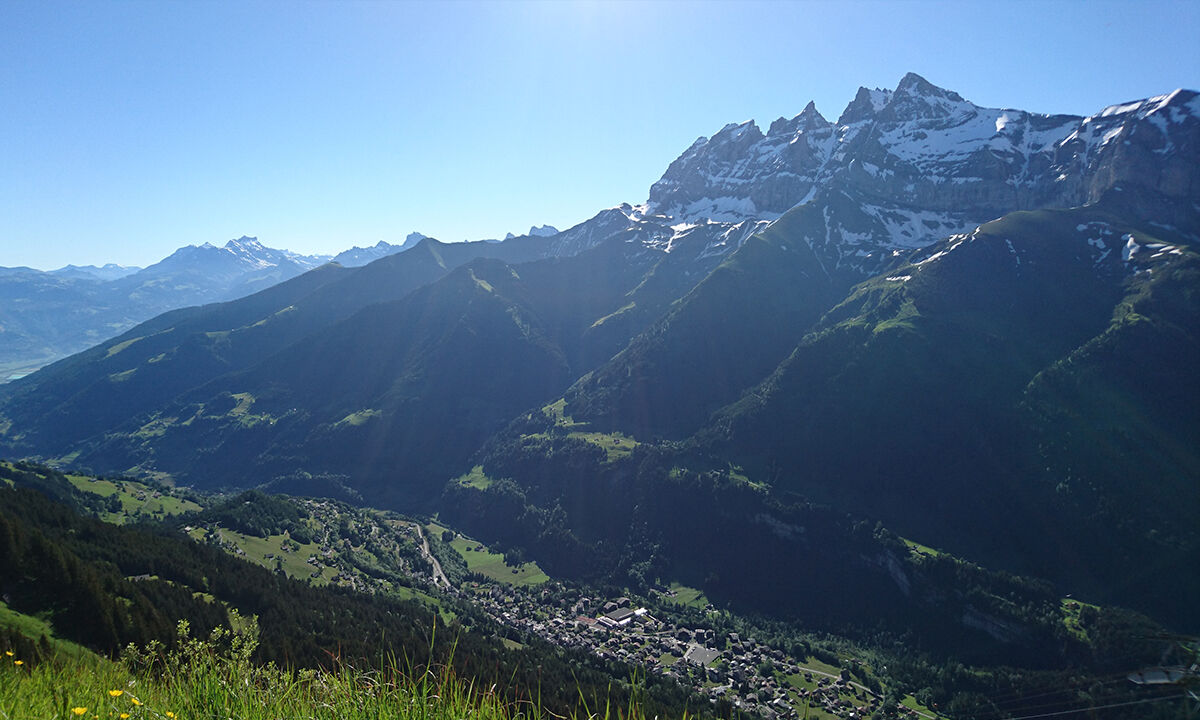
The starting point is the mountain station of the Champéry – Croix du Culet cable car. The restaurant there has a panoramic terrace offering a good view of the jagged mountain range Dents du Midi on the opposite side and the upper section of the Val d’Illiez.
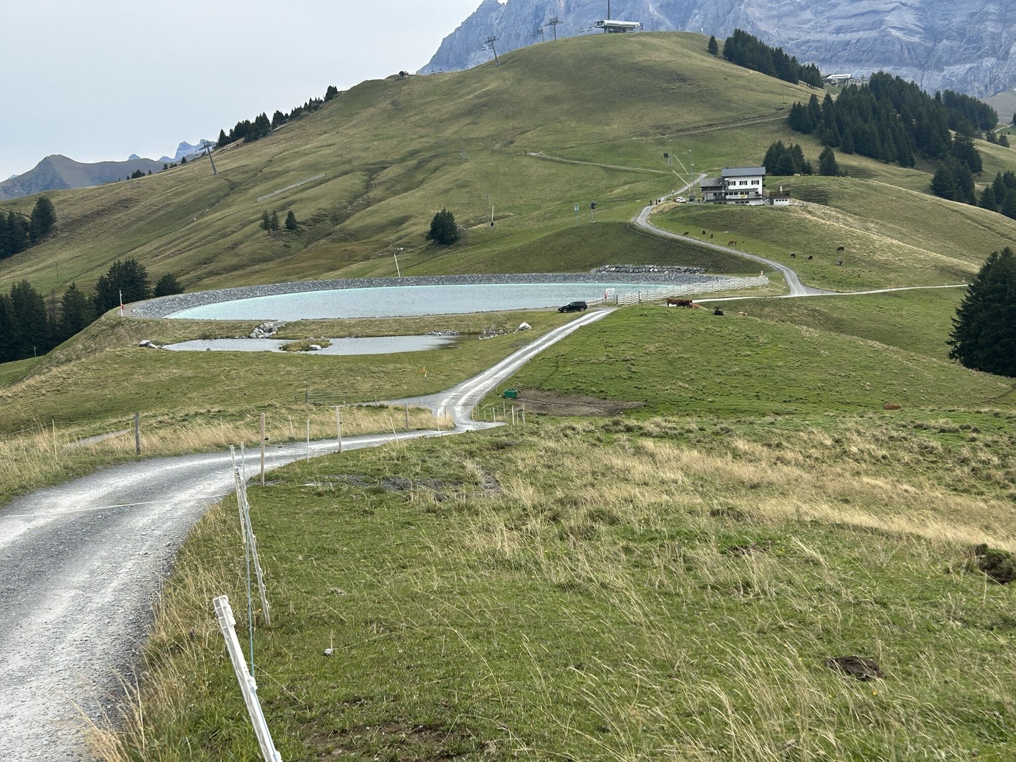
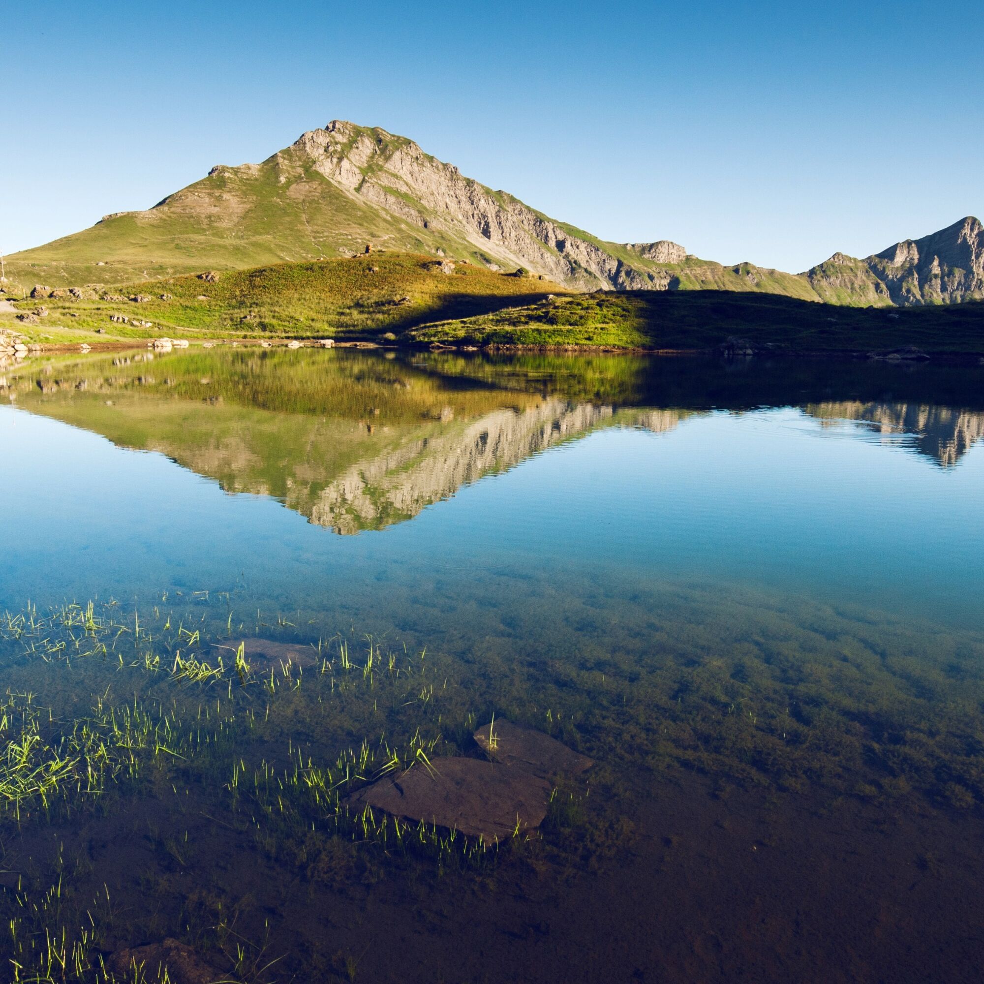
The hike begins with a steady ascent northwards up to the Portes de l’Hiver pass. From here you have a good view of the hanging plateau, which houses the lake Lac Vert (1,973 m a.s.l.) in its middle. For centuries, local shepherds spent their summers at this idyllic spot with their sheep herds. The ringing of the sheep bells combined with the shimmering reflections of the blue sky on the water surface of the lake invites you to find peace in the middle of nature.
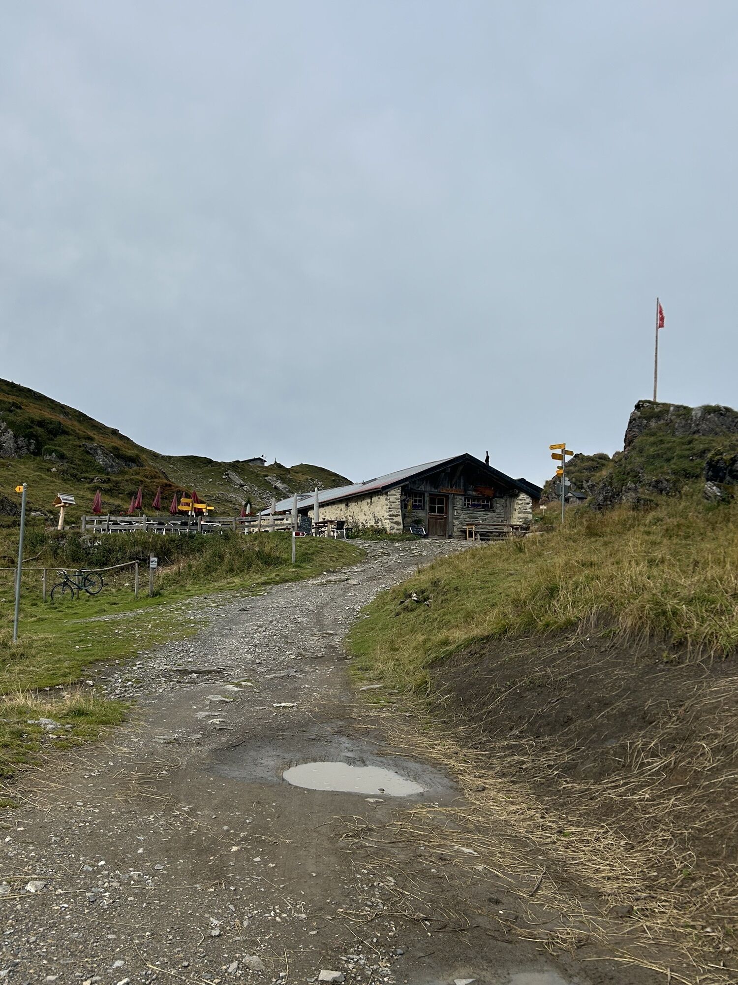
Next to the lake is the mountain hut "Refuge de Chésery", a converted barn from the 19th century. Delicious regional products are offered here, and you have the opportunity to purchase a fishing license to fish for rainbow trout in the lake. However, hikers must bring their own fishing rod.
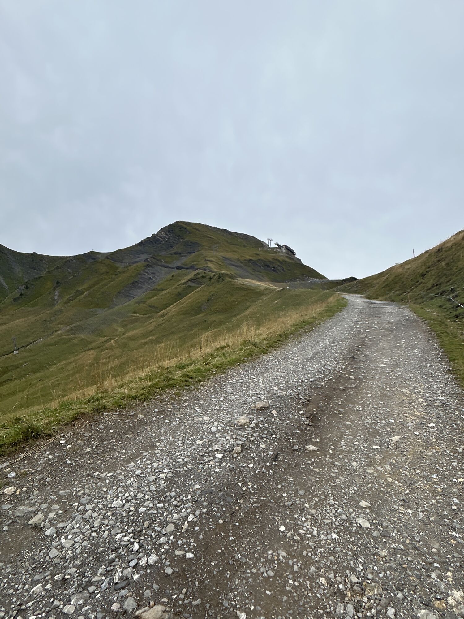
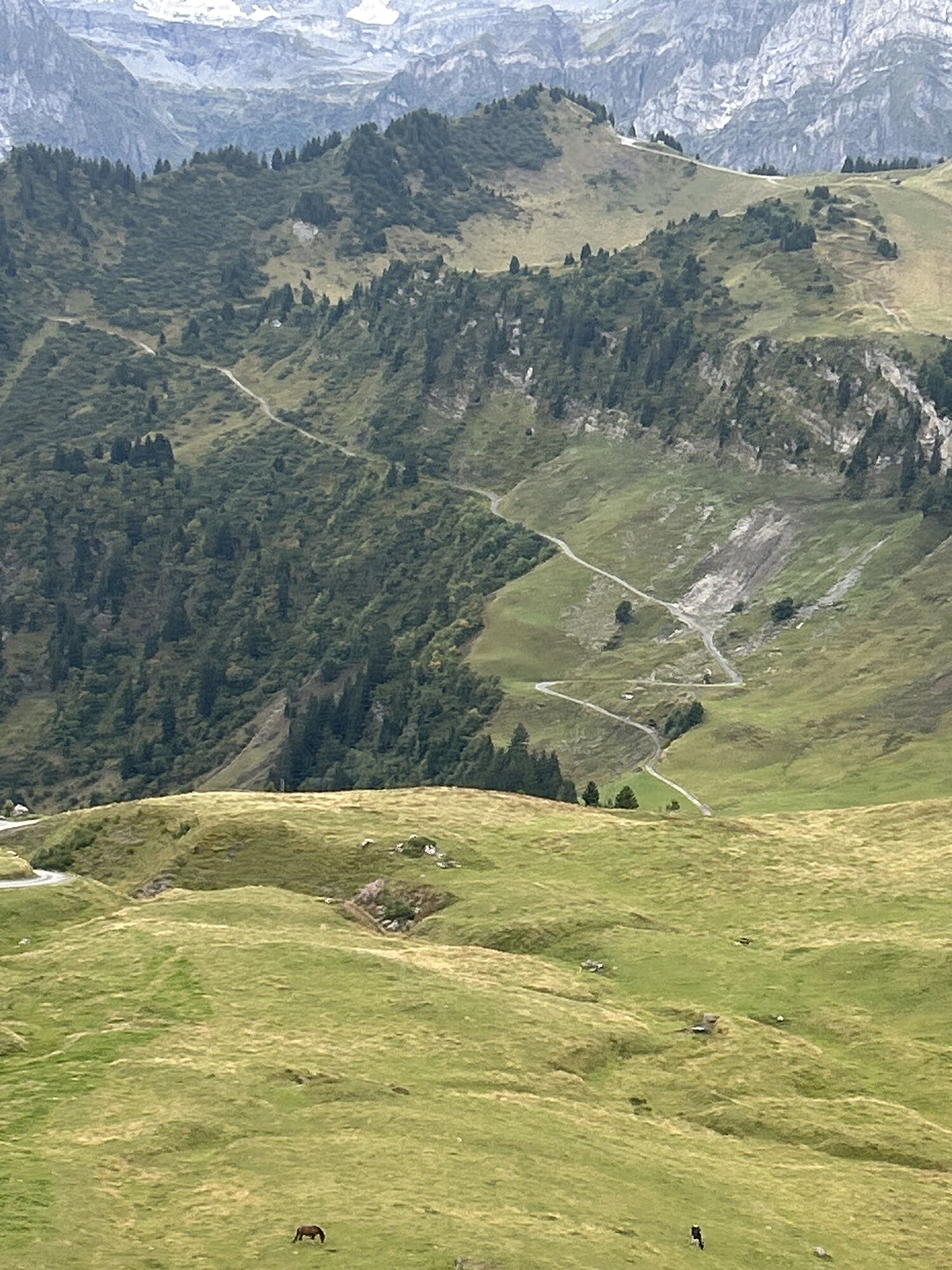
The hiking trail includes a round trip around the lake and finally leads back up to the Portes de l’Hiver pass. From there, the path leads down along the ridge towards the Portes du Soleil pass. The trail loops and offers a good view of the small village Les Crosets. The final descent via Planachaux to Champéry passes over lush meadows and fragrant forests.
Hiking highlights:
Panoramic hike, mostly high-altitude, accessible by cable car Quiet mountain lake, magical atmosphere, friendly mountain restaurant Flexible travel route with the possibility to complete the hike in various variants.
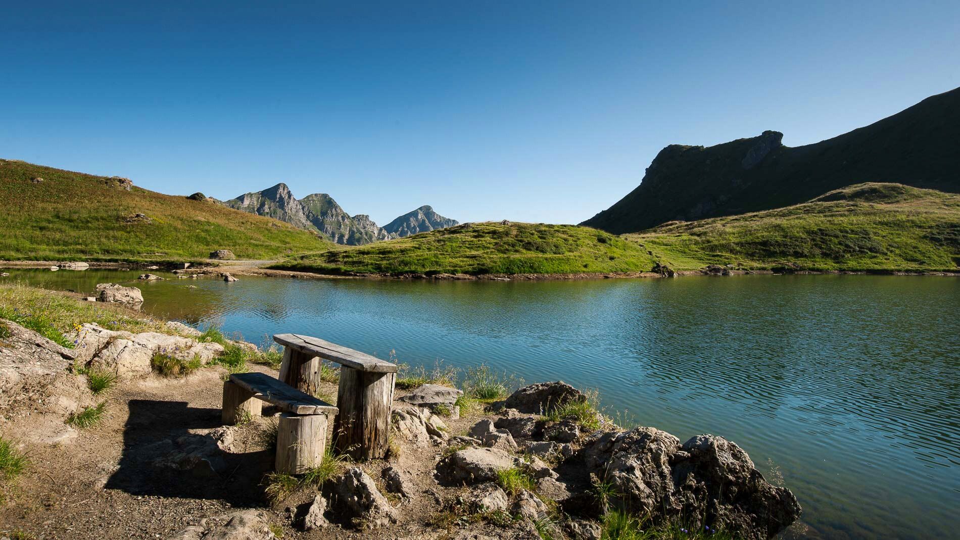
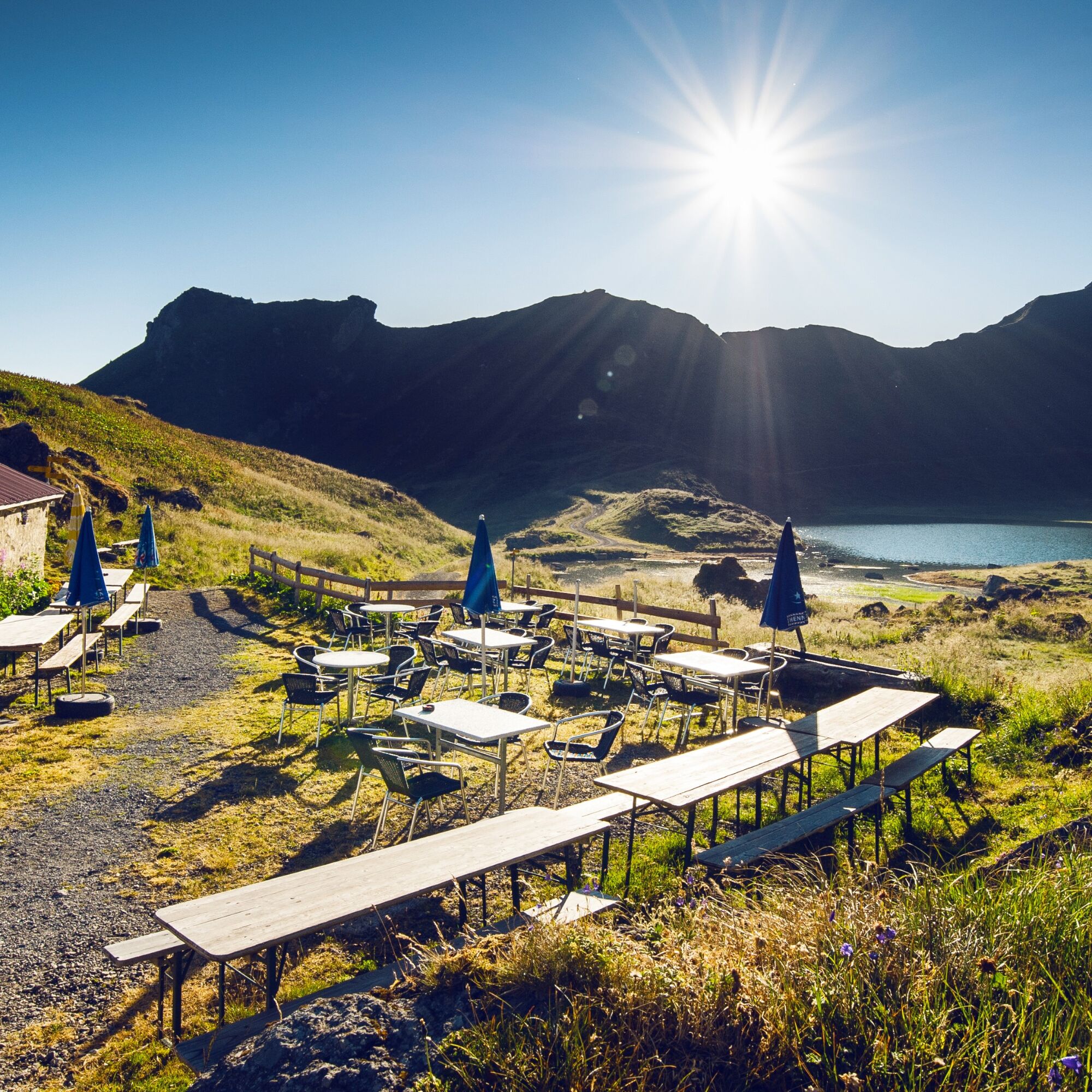
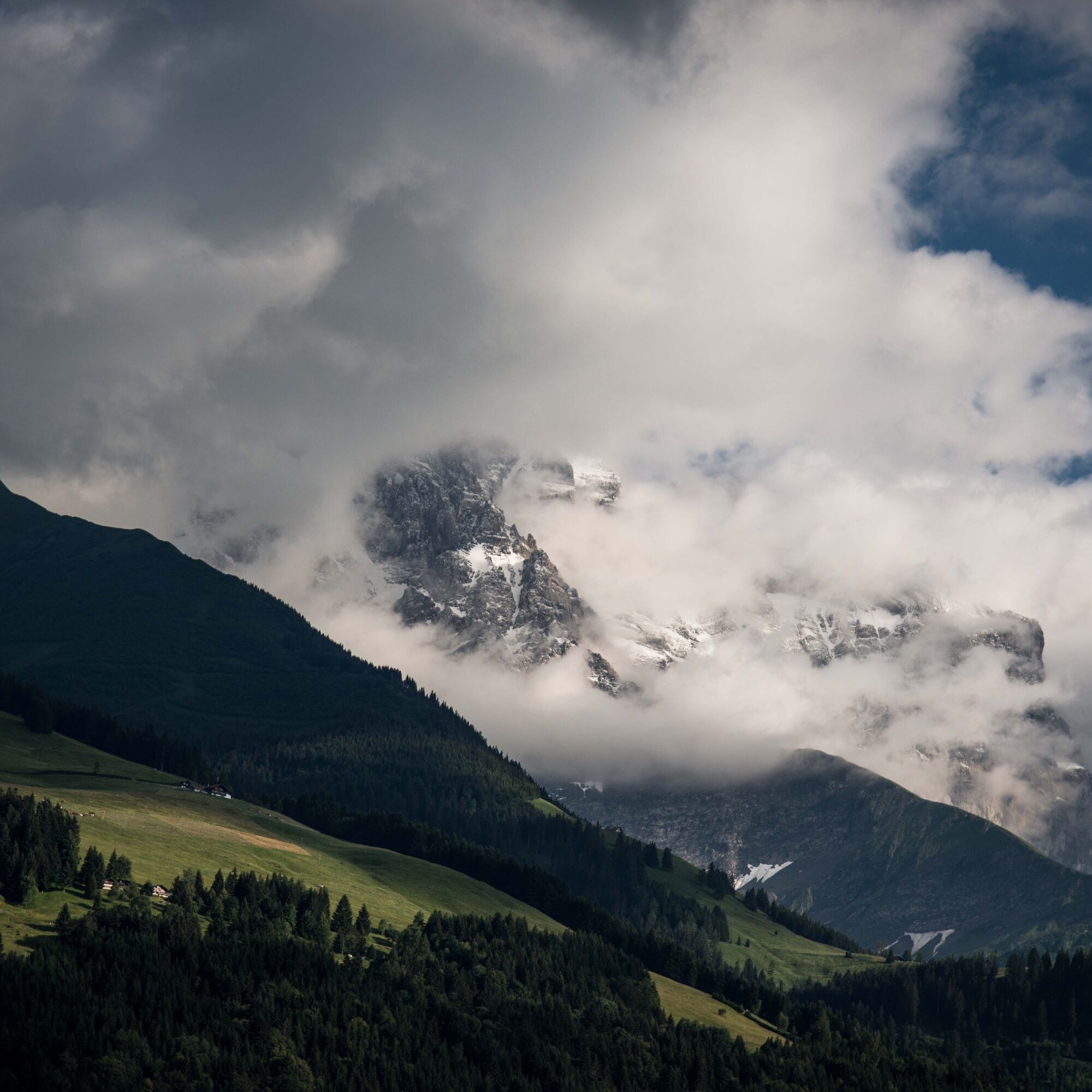

Many variants of this hike are possible.
The shortest and easiest variant of the hike is the one described above: From the top station Croix de Culet, walk to Lac Vert and return the same way. The descent to Champéry is by cable car.
Optionally, after visiting Lac Vert, you can add a circular route around the Portes du Soleil and at the end take the cable car again from Croix de Culet to Champéry.
If you want to do the whole hike, the descent through Planachaux comes at the end. This last section leads through lush meadows and pine forests and gives the hike a completely new dimension.
Ano
We recommend:
Good footwear Weather-dependent clothing: always carry a waterproof vest Headgear Sun protection Water bottle Picnic Camera Binoculars (optional) Walking sticks (optional) Printout of the hiking trail (click "Print" to download)For certain hikes:
SwimsuitThe mountains, a place of joy to share and respect. The mountain world is a place to meet and experience unforgettable moments together – whether by bike or on foot. For all users to benefit from this, it is essential to share this space with respect for nature and agriculture. Respectful behavior allows everyone to practice their leisure activities under the best conditions. Inform yourself about recommendations and rules. Assess your own abilities and fitness carefully. Using the different routes is always at your own risk.
For all hikes:
Carry a map with you. Download the complete description of the hiking trail with a large-scale map by clicking "Print" at the top right of the page. Use only marked hiking trails and respect all signs and instructions - for your own safety, to protect grazing animals, and out of respect for wildlife. Close gates after passing through. Be considerate towards other trail users, plants, and animals.For mountain hikes:
Carry additional sun protection. UV rays at high altitudes can be very strong, even in cloudy weather. Plan your hike carefully: consider the required fitness level of all participants, weather forecasts, and seasonal conditions. Weather conditions in the mountains can change very quickly and without warning. Proper clothing and sufficient provisions (food and drink) are very important. In bad weather, better turn back early.For high alpine hikes:
Inform your family about your hiking route. If possible, avoid traveling alone. Do not venture onto glaciers without a mountain guide. Observe warning signs indicating dangers at riverbanks, along watercourses below dams and reservoirs: water levels can rise quickly and without warning.Highway A9, exit 18 (St-Triphon) if you come from Vaud or exit 19 (Bex) if you come from Valais. Follow the signs to Monthey and then to Champéry.
Train to Champéry. The cable car to Croix de Culet is located right next to the station in Champéry. Current departure times are available at sbb.ch
Large parking lot at the station in Champéry. Follow the local parking guidance system in Champéry.
More information about the destination:
ChampéryWith the "Multi Pass" you have free rides on the cable car to Croix de Culet. Other benefits of the Multi Pass: indoor climbing, indoor pools, swimming pools, tennis and other activities in Champéry as well as in the Portes du Soleil region.
Webové kamery z prohlídky


Oblíbené prohlídky v okolí
-
5.0
Sentier de Salanfe
středníTuristika 12.8 km -
5.0
Morgins - Col des Portes du Soleil
světloLyžařská trasa 15.2 km -
4.5
Galerie Défago
světloTuristika 8.81 km -
5.0
Champéry - Sous Scex
Turistika 2.41 km -
Champéry - Seen von Antème
Turistika 14.8 km -
3.0
Sentier des alpages de Vionnaz
světloTuristika 13.6 km -
4.0
Circular hike to the Lacs d’Antème
heavyTuristika 16.3 km -
3.0
Hiking trail along the Vièze gorges
světloTuristika 6.18 km -
5.0
Goldtoni - Alpenbogen A058 Auberge de Salanfe-Refuge de Chardonniere
střednídálková pěší trasa 28.7 km -
5.0
From Croix de Culet via the Col de Cou to Champéry
středníTuristika 17.5 km
Pěší turistika a stopování


Nenechte si ujít nabídky a inspiraci pro vaši příští dovolenou
Vaše e-mailová adresa byl přidán do poštovního seznamu.


