







From Croix de Culet via the Col de Cou to Champéry
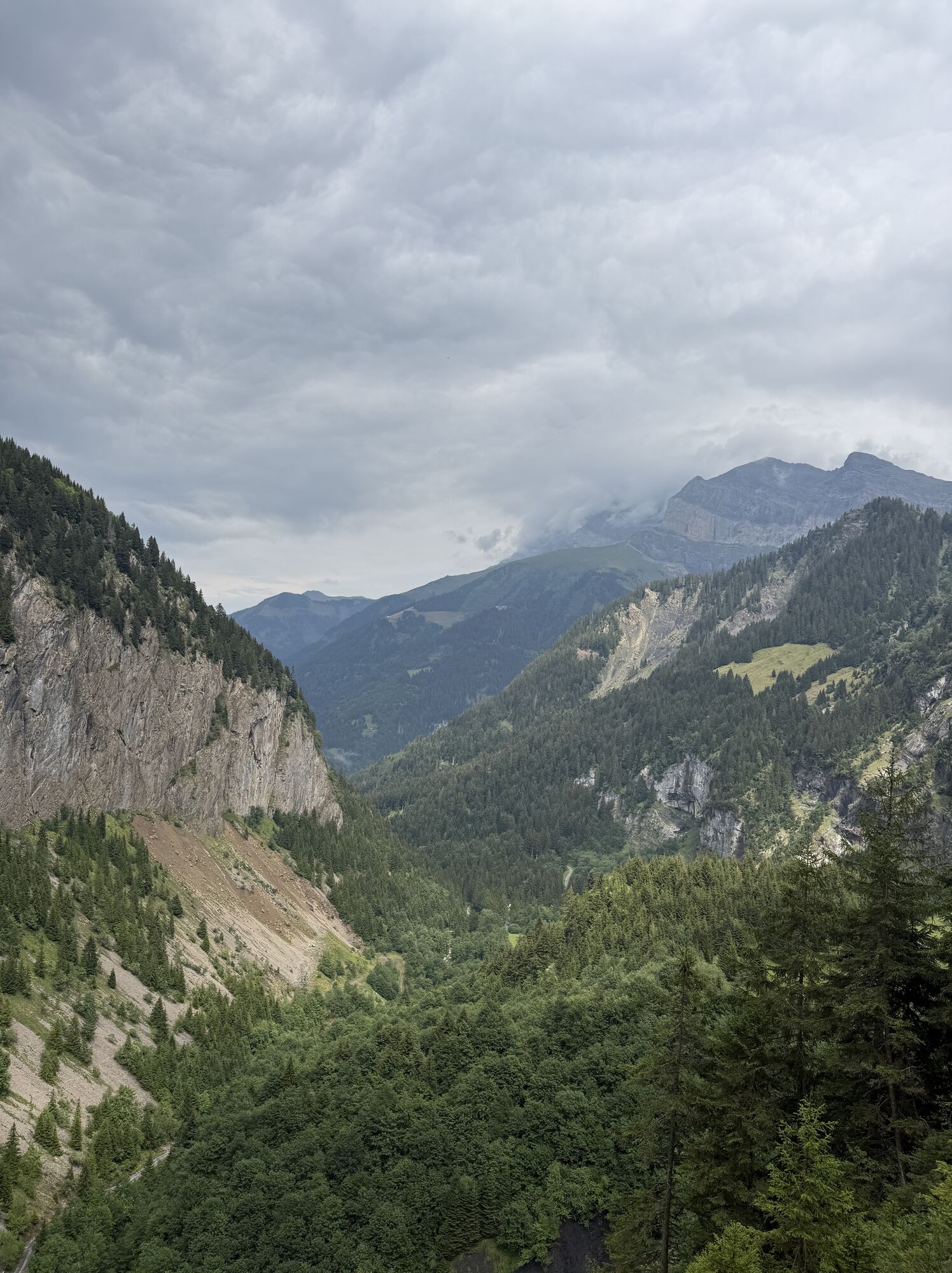

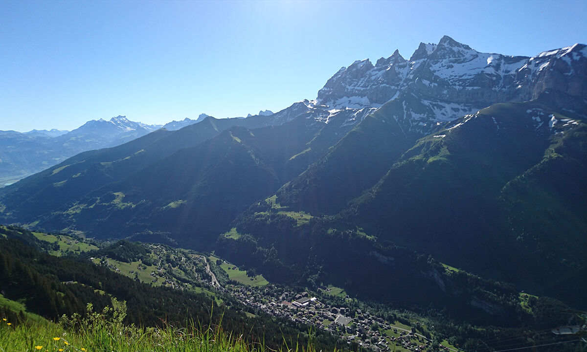
High above the Val d’Illiez runs the border to France. The lowest border crossing is the Col de Cou at 1921 m above sea level, which was known until the 1950s as a smuggler route for sugar, butter, tobacco,...
High above the Val d’Illiez runs the border to France. The lowest border crossing is the Col de Cou at 1921 m above sea level, which was known until the 1950s as a smuggler route for sugar, butter, tobacco, and watches. During the Second World War, locals together with resistance fighters helped refugees cross the border.
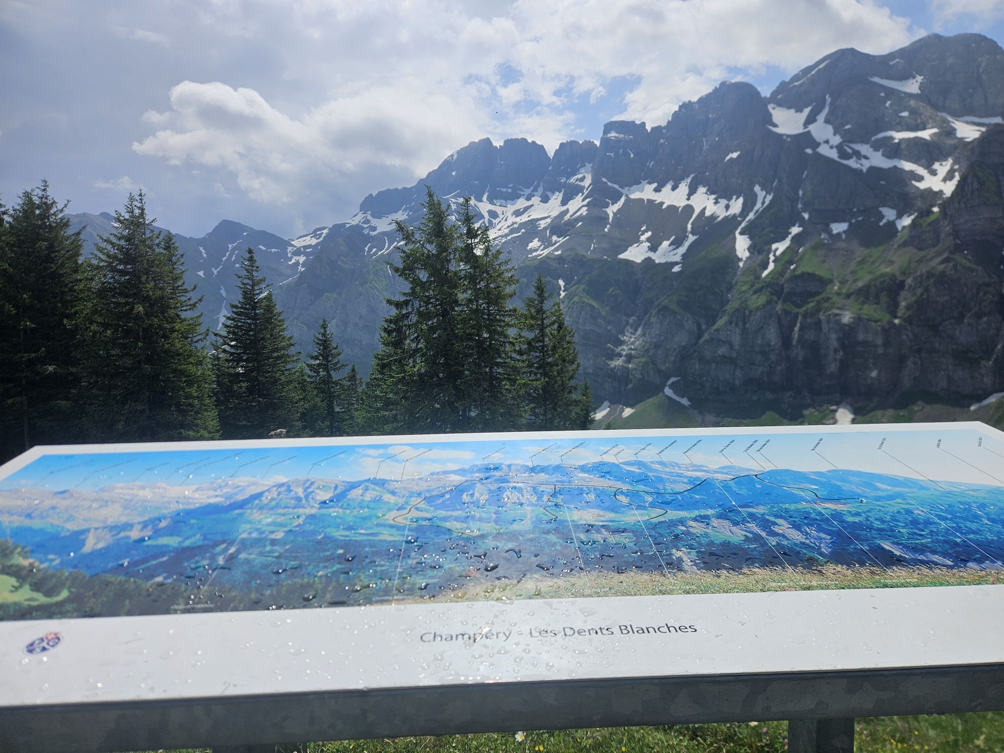
The views along this hike high up to the pass are as dramatic as the history of the region. At the beginning of the hike, take the gondola from Champéry to the Croix de Culet mountain station, the starting point of the hike. The viewing terrace of the mountain restaurant reveals an impressive view of the Dents du Midi.
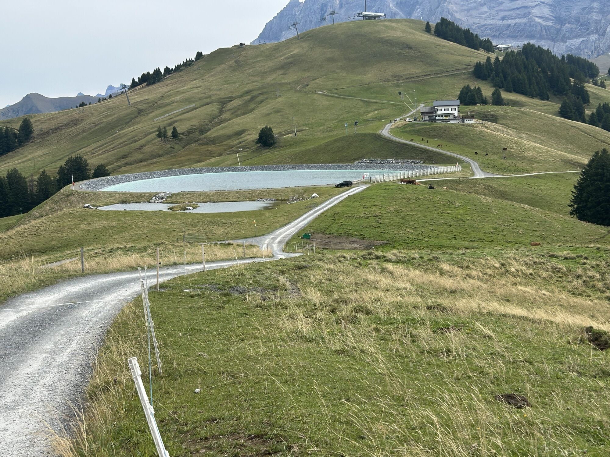
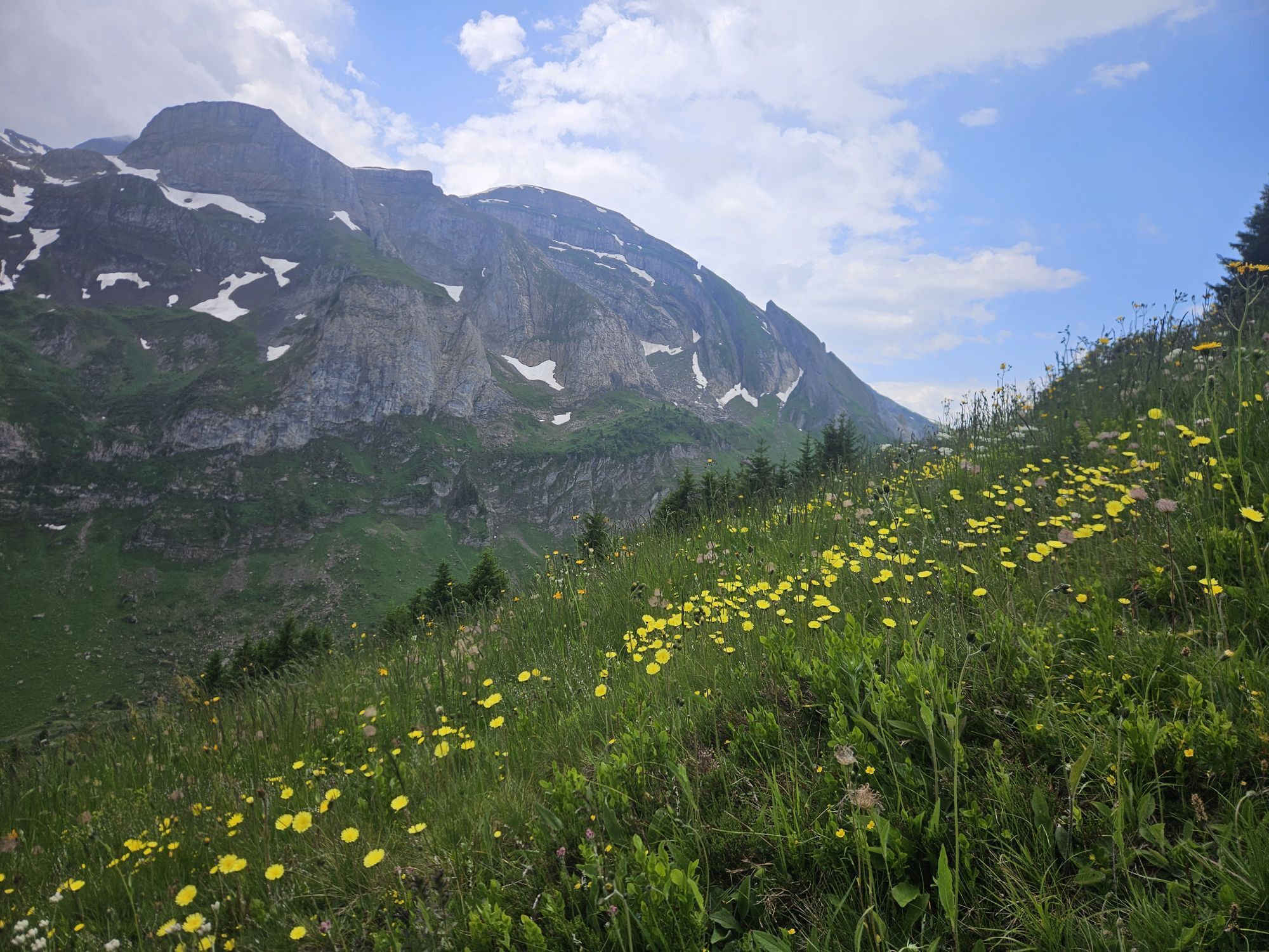
The path makes a wide loop westwards and passes some alpine pastures. At the Alp Le Lapisa, the daily produced mountain cheese can be tasted. In autumn, sausages are also made here – all local products are sold directly in the mountain restaurant.
After a short descent follows the ascent to the windy Col de Cou. The view of the mountains on both sides is breathtaking, but the spectacle is also in the air: migratory birds display their impressive formations reminiscent of ballet. The Swiss Bird Observatory Sempach conducts long-term studies on migratory bird behavior at the nearby Col de Bretolet. Volunteers here ring 10,000 to 20,000 birds from about a hundred species every year.
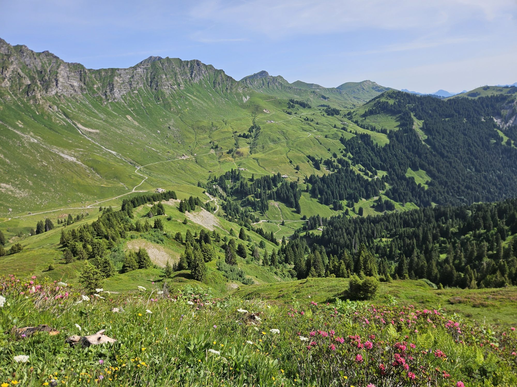
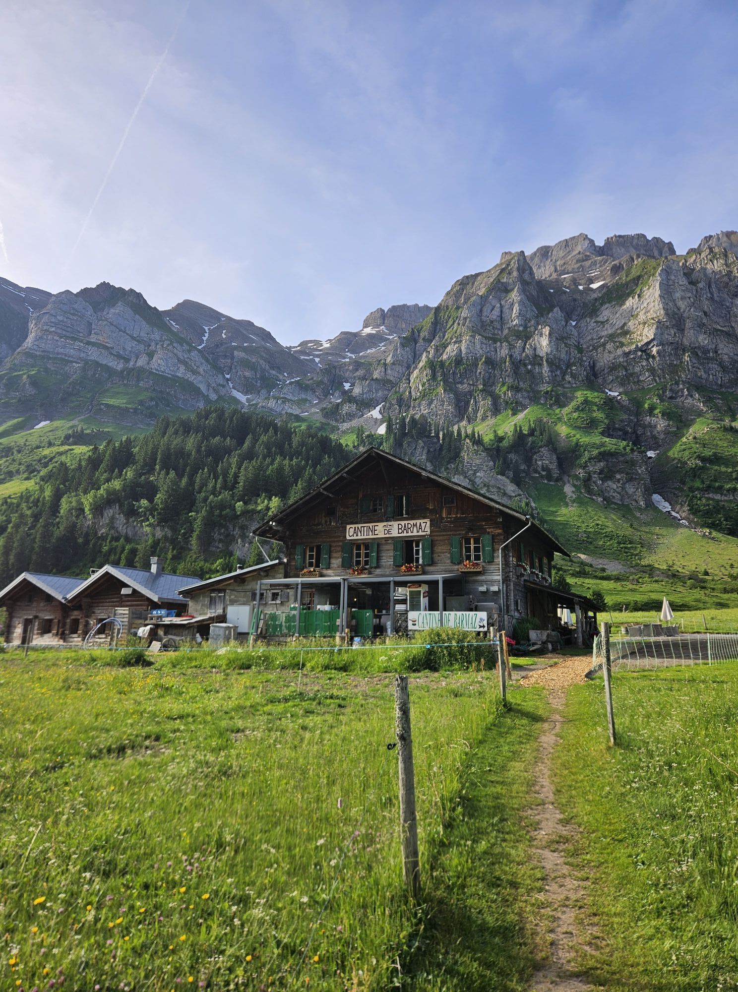
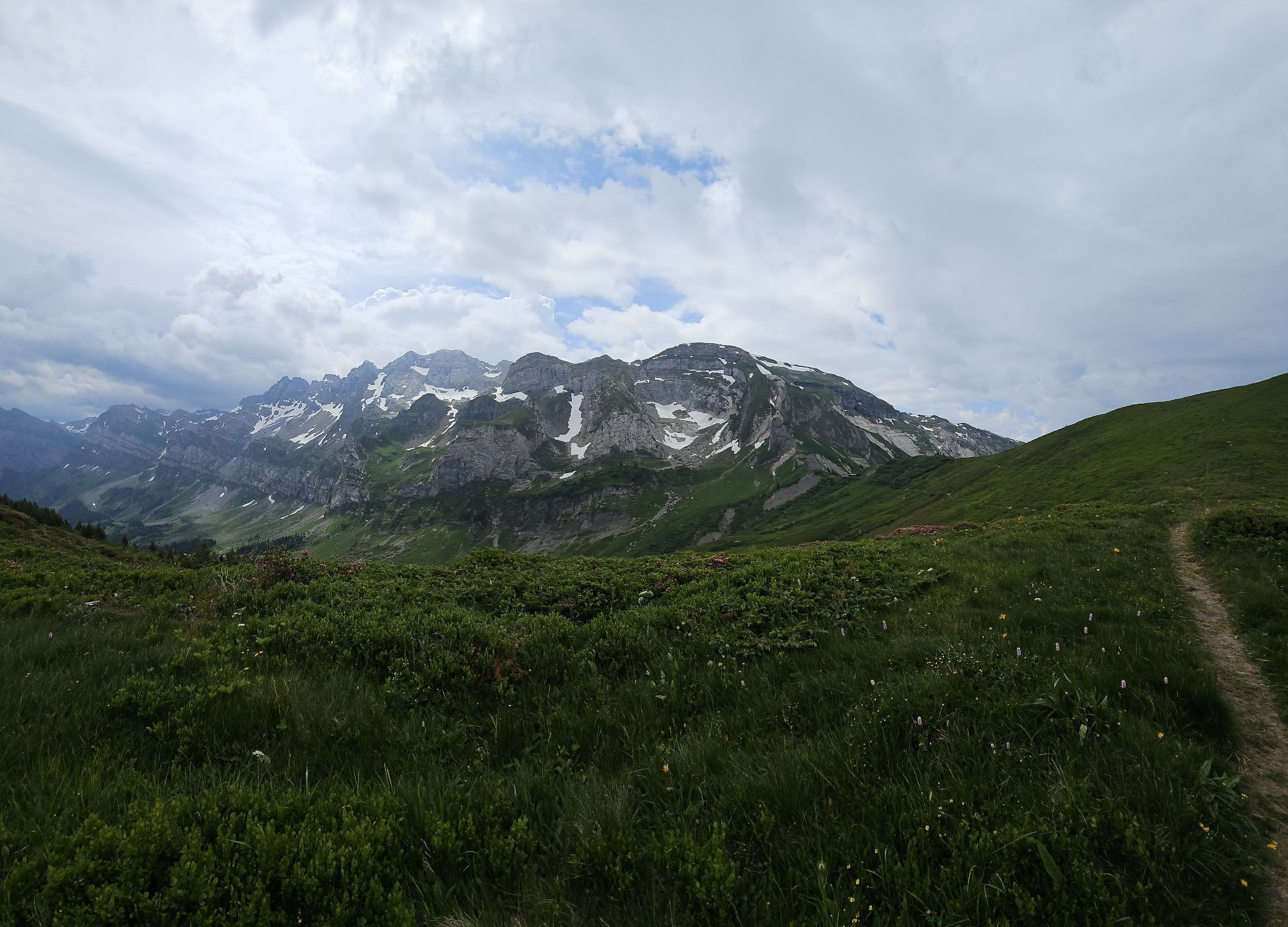
From Col de Cou, the route leads eastwards over the Berroi ridge, probably one of the most exciting paths in the entire region. Then the path descends to the idyllic plateau of Barme – where a sleepy alpine hut testifies to the smuggler past. Finally, the descent back to Grand Paradis and Champéry follows.
Highlights of the hike
Varied hike starting with a scenic gondola ride. Excellent opportunity for birdwatching along one of the migratory routes of migratory birds across the Alps. Alpine farms with cheese production, inviting restaurants, and the charming high plateau of Barme.
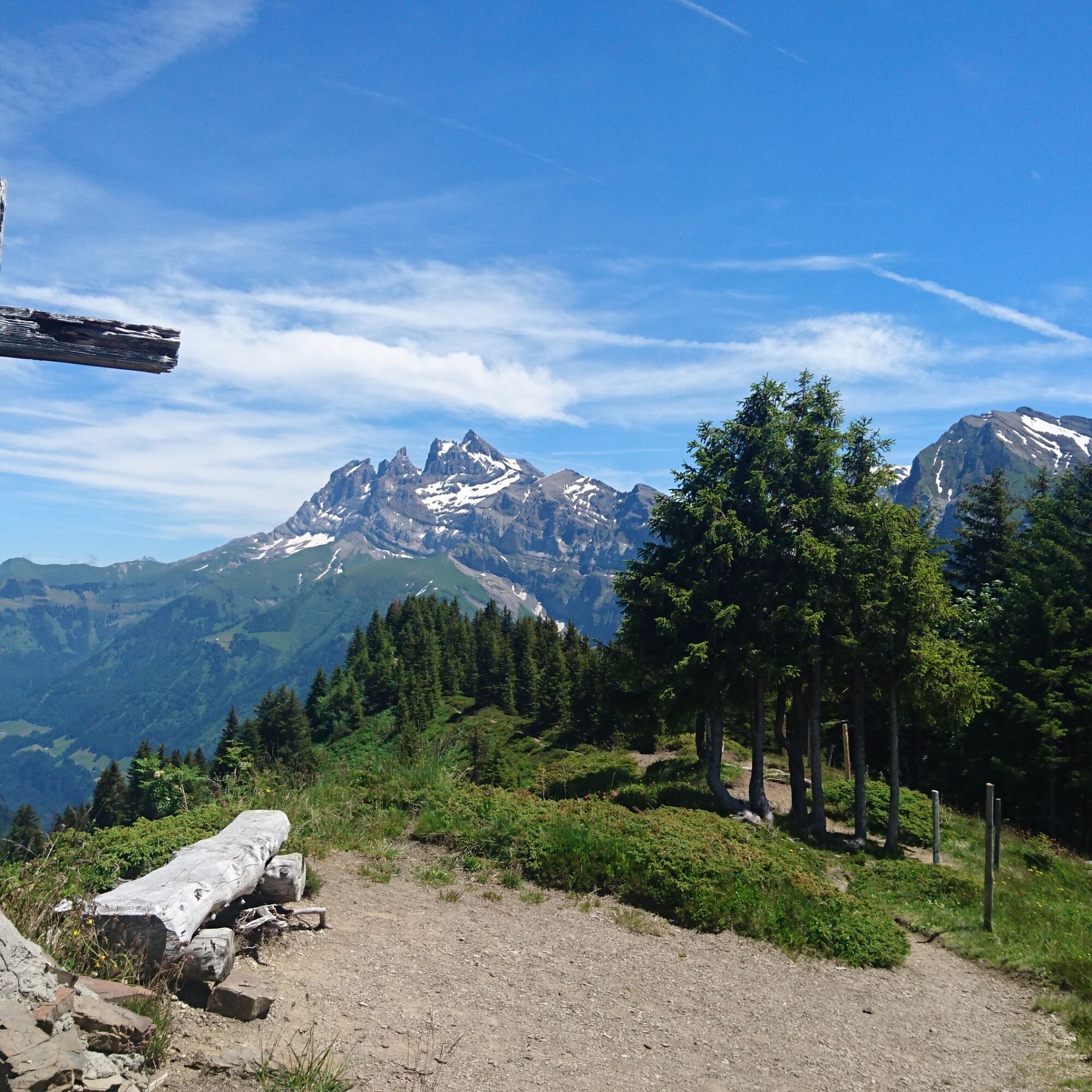

From the mountain station of the Croix de Culet gondola, the path leads pleasantly downhill over alpine pastures before the steep ascent to the Col de Cou follows.
Then the path follows along the Berroi ridge to the road between Champéry and Barme. During the high season, this section is served by a shuttle service, enabling a shortening of the hike. On the way back to Champéry, the route passes the road several times, allowing access to the shuttle service at different stops.
The complete hike, however, leads down from the ridge to the Alpe Barme, where some small mountain restaurants invite you to take a break. Afterwards, the route heads downhill towards Grand Paradis, where you can return to Champéry either directly via the side road or through the historic village center.
Ano
We recommend:
Good footwear Weather-dependent clothing: always carry a waterproof vest Headgear Sunscreen Water bottle Picnic Camera Binoculars (optional) Hiking poles (optional) Printout of the hiking route (click "Print" to download)For certain hikes:
SwimsuitThe mountains, a place of joy for sharing and respecting. The mountain world is a place to meet and experience unforgettable moments together – whether by bike or on foot. To ensure that all users can benefit, it is essential to share this space with respect for nature and agriculture. Respectful behavior allows everyone to enjoy their leisure activities under the best conditions. Inform yourself about recommendations and rules. Assess your own abilities and fitness well. Using the various routes is fundamentally at your own risk.
For all hikes:
Carry a map with you. Download the complete description of the hiking route with a large-scale map by clicking “Print” at the top right of the page. Use only marked hiking trails and observe all signposts and instructions – for your own safety, to protect grazing animals, and out of respect for wildlife. Close gates after passing through them. Behave considerately towards other trail users, plants, and animals.For mountain hikes:
Carry additional sun protection. UV rays can be very strong at high altitudes, even in cloudy weather. Plan your hike carefully: consider the required fitness level of all participants, weather forecasts, and seasonal dependencies. Weather conditions in the mountains can change very quickly and without warning. Appropriate clothing and sufficient provisions (food and drink) are very important. If the weather is unstable, it is better to turn back early.For high alpine hikes:
Inform your family about your hiking route. If possible, avoid going alone. Do not venture onto glaciers without a mountain guide. Observe warning signs indicating hazards at riverbanks, along watercourses below dams and reservoirs: water levels can rise quickly and without warning.Coming from Geneva/Lausanne: motorway A9 to the exit St-Triphon (no. 18). Coming from the Rhône valley: motorway A9 to the exit Bex (no. 19). Follow the signs to Monthey, Troistorrents, Val-d’Illiez, and then to Champéry.
Regular regional train connections from Monthey to Champéry. The valley station of the gondola to Croix de Culet is located next to the station. Detailed train timetables can be found at sbb.ch.
Large parking lot at the valley station of the mountain railways in Champéry. Follow the local parking guidance system in Champéry.
More information about the destination:
ChampéryThe Multi Pass allows free use of the mountain railway up to Croix de Culet. Additionally, various other activities in Champéry and the Portes du Soleil region are included for overnight guests.
 Získejte přehled Vždy živě na místě s více než 9 500 webkamerami. bergfex Jako uživatel Pro si nyní můžete zobrazit odpovídající webové kamery pro mnoho prohlídek v aplikaci prohlídky z. Můžete si tak přímo prohlédnout aktuální podmínky.
 Oblíbené prohlídky v okolí
- 5.0
Sentier de Salanfe
středníTuristika 12.8 km - 3.5
Lac d'Emosson - Gorge de la Veudale - Col de la Terrasse - Lac du Vieux Emosson zurück nach Lac d'Emosson
středníTuristika 14.3 km - 5.0
Circular hike Roc Coupé – Bonavau – Champéry
středníTuristika 12.1 km - 5.0
Morgins - Col des Portes du Soleil
světloLyžařská trasa 15.2 km - 4.5
Galerie Défago
světloTuristika 8.81 km - 5.0
Champéry - Sous Scex
Turistika 2.41 km Champéry - Seen von Antème
Turistika 14.8 km- 4.0
Circular hike to the Lacs d’Antème
heavyTuristika 16.3 km - 3.0
Hiking trail along the Vièze gorges
světloTuristika 6.18 km Mont-Blanc Balcony Trail
středníTuristika 8.36 km
Pěší turistika a stopování


Nenechte si ujít nabídky a inspiraci pro vaši příští dovolenou
Vaše e-mailová adresa byl přidán do poštovního seznamu.





