







Sentier des alpages de Vionnaz

From Torgon, a small village at just over 1000 meters altitude in the Valais Chablais, this circular hike from alp to alp offers varied landscapes. The hike takes you through an area with diverse animal...
From Torgon, a small village at just over 1000 meters altitude in the Valais Chablais, this circular hike from alp to alp offers varied landscapes. The hike takes you through an area with diverse animal and plant life, and with some luck, you may spot a mouflon, the region's emblem. Once at the top, you will be rewarded for your efforts with a true feast for the eyes: breathtaking views of Lake Geneva, the Valais and Vaud Alps, the Dents du Midi, and Mont Blanc. On the return journey, the crossing of the suspension bridge awaits as the final adventure.

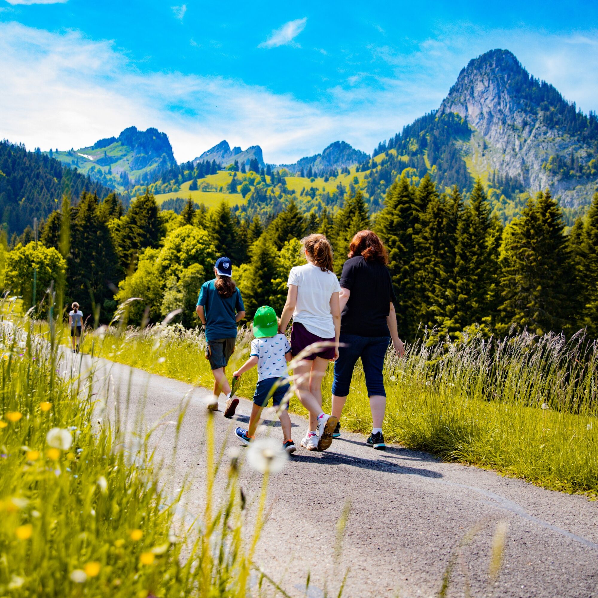
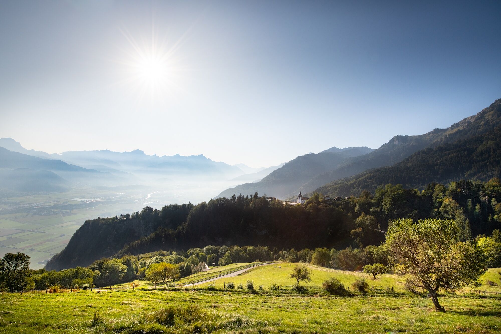
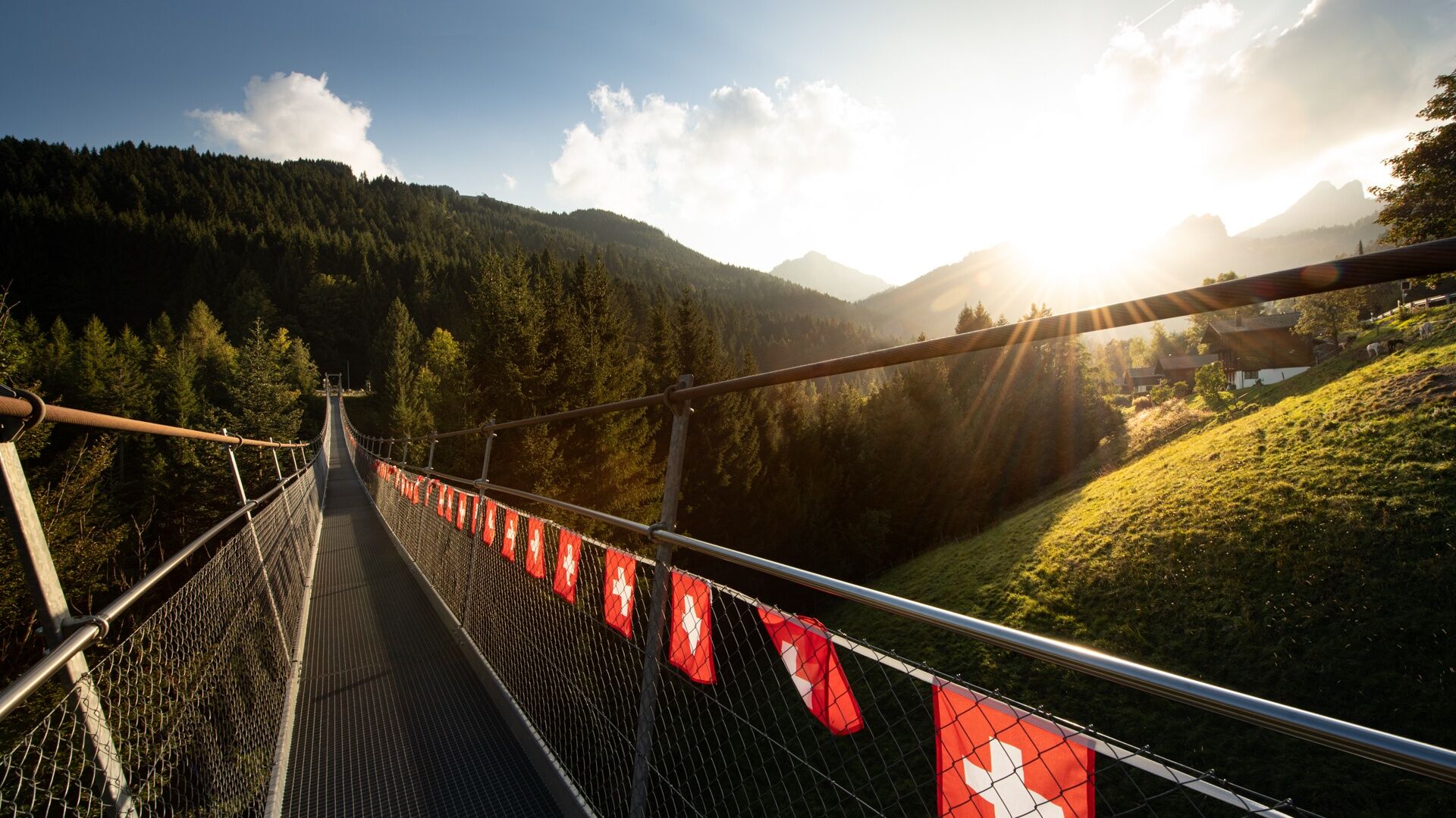
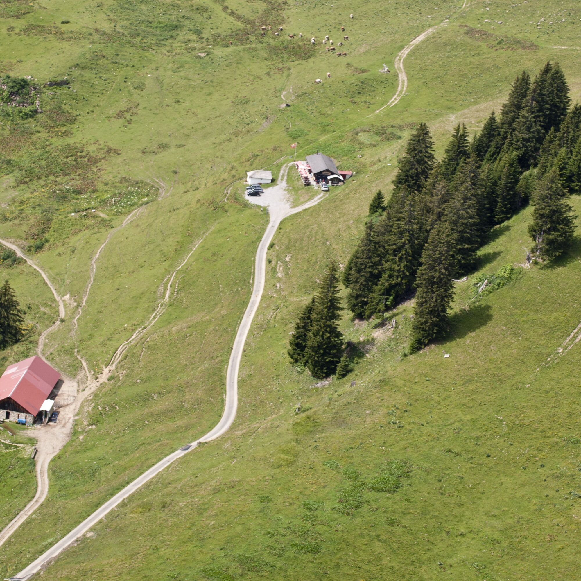
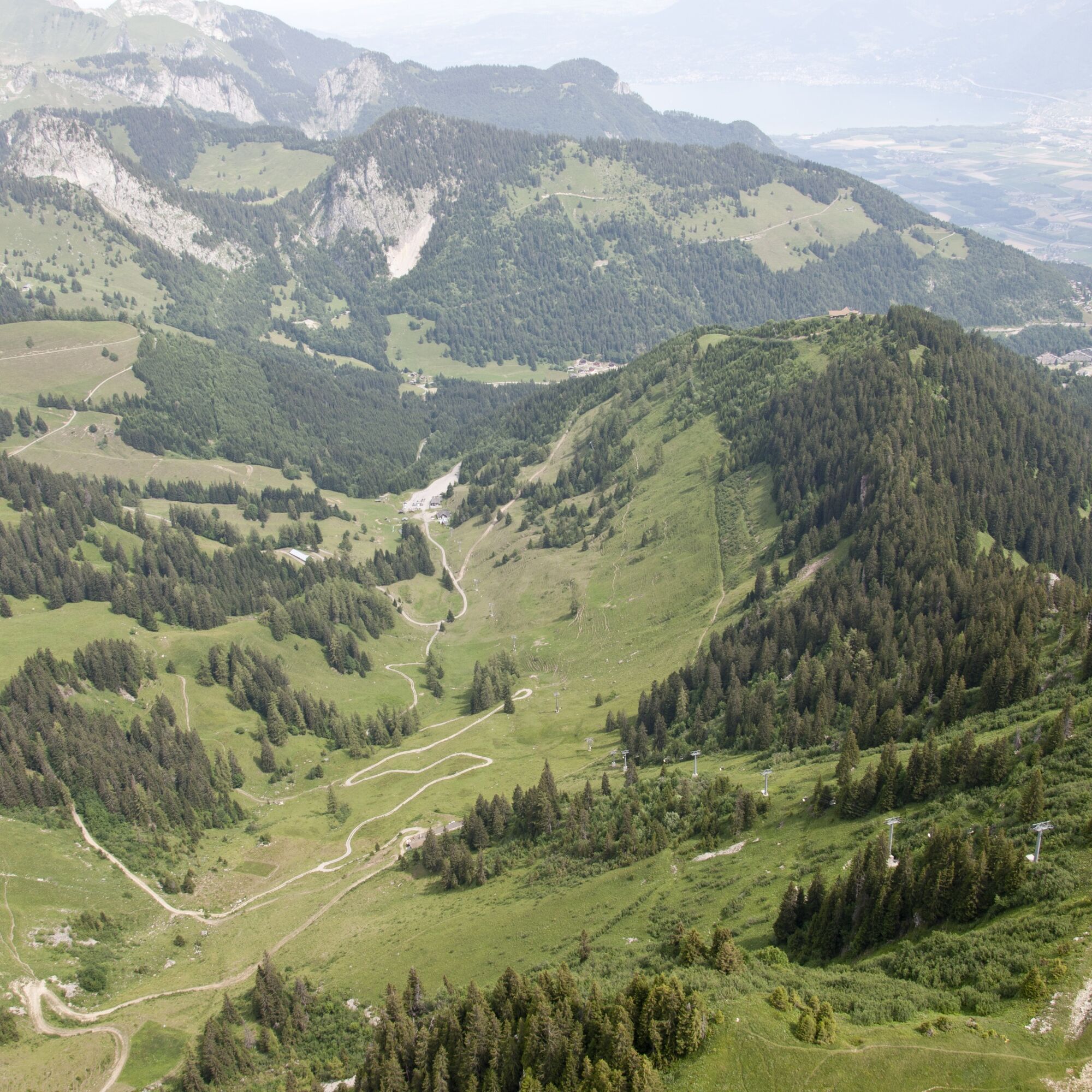
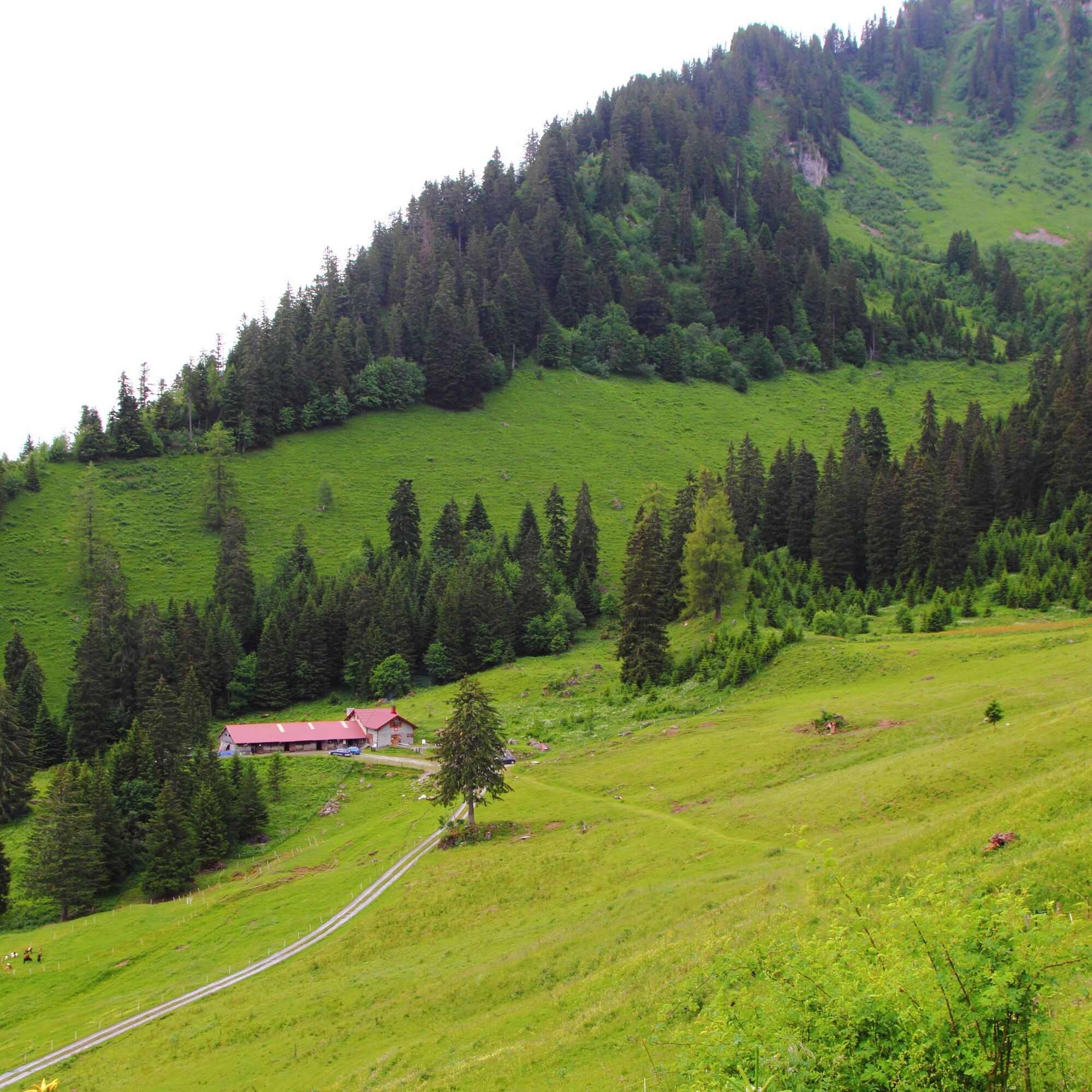

From Place de la Jorette in Torgon, head up towards Alp Eusin, which specializes in goat cheese production. Continue your route towards Croix until Alp Chétillon, where you can try regional delicacies in a welcoming mountain inn. The route then leads further up to Recon and Conches before descending towards Dravers. At Alp Fracette, you can stop for one last time before crossing the Torgon suspension bridge and returning to your starting point.
We recommend:
Good footwear Weather-dependent clothing: always carry a waterproof vest Headwear Sunscreen Water bottle Picnic Camera Binoculars (optional) Walking sticks (optional) Printout of the hiking route (click "Print" to download)For certain hikes:
SwimsuitThe mountains, a place of joy to share and respect. The mountain world is a place to meet and experience unforgettable moments together – whether by bike or foot. To ensure that all users can benefit, it is essential to share this space with respect for nature and agriculture. Respectful behavior allows everyone to enjoy their leisure activities under the best conditions. Inform yourself about recommendations and rules. Accurately assess your own abilities and fitness. Traveling the different routes is always at your own risk.
For all hikes:
Carry a map with you. Download the complete description of the hiking route with a large-scale map by clicking "Print" at the top right of the page. Use only marked hiking trails and observe all signposts and instructions – for your own safety, to protect grazing animals, and out of respect for wildlife. Close gates after passing through. Behave considerately towards other trail users, plants, and animals.For mountain hikes:
Carry additional sunscreen. UV rays at high altitude can be very strong, even in cloudy weather. Plan your hike carefully: Consider the necessary fitness level of all participants, weather forecasts, and seasonal conditions. Weather conditions in the mountains can change rapidly and without warning. Proper clothing and sufficient supplies (food and drink) are very important. In unstable weather, it is better to turn back early.For high alpine hikes:
Inform your family about your hiking route. If possible, avoid hiking alone. Do not go onto glaciers without a mountain guide. Observe warning signs that indicate dangers at riverbanks, along watercourses below dams and reservoirs: Water levels can rise rapidly and without warning.Follow the A9 motorway and take the Aigle exit towards Vionnaz. Upon arrival in Vionnaz, turn right at the roundabout and then drive left up to Torgon. Enter the village and turn left at the intersection towards Place de la Jorette.
Take the train from Geneva or Brig to Aigle and then bus 142 to Torgon until Place de la Jorette.
Free parking is available at Place de la Jorette in Torgon.
View this route on SchweizMobil:
No. 225 Sentiers des alpages de VionnazMore information about the destination:
TorgonTake a gourmet break at the Buvette La Bourri. A visit is definitely worthwhile.

Webové kamery z prohlídky

Oblíbené prohlídky v okolí
- 4.0
Chemin du Lac de Taney
středníTuristika 8.60 km - 4.7
Le Grammont
světloTuristika 13.8 km - 5.0
Morgins - Col des Portes du Soleil
světloLyžařská trasa 15.2 km - 4.5
Galerie Défago
světloTuristika 8.81 km - 5.0
Champéry - Sous Scex
Turistika 2.41 km - 3.0
Hiking trail along the Vièze gorges
světloTuristika 6.18 km - 2.0
Rundherumwanderung vom d‘Aï.
středníHorská turistika 6 km Tour d’aï
heavyTuristika 5.85 km- 4.0
Sentier de la Joux Verte
středníHorská turistika 9.61 km Pointe de Bellevue
heavyTrailrunning 16.5 km
Pěší turistika a stopování


Nenechte si ujít nabídky a inspiraci pro vaši příští dovolenou
Vaše e-mailová adresa byl přidán do poštovního seznamu.





