







Gaschurn circuit via Kilknerwald and Unter Trantrauas
Úroveň obtížnosti: 2
The winter hiking trail is a very beautiful circuit that runs just above Gaschurn. The path partly goes through the forest and continually offers beautiful views of the town center and the opposite side...
The winter hiking trail is a very beautiful circuit that runs just above Gaschurn. The path partly goes through the forest and continually offers beautiful views of the town center and the opposite side of the valley.

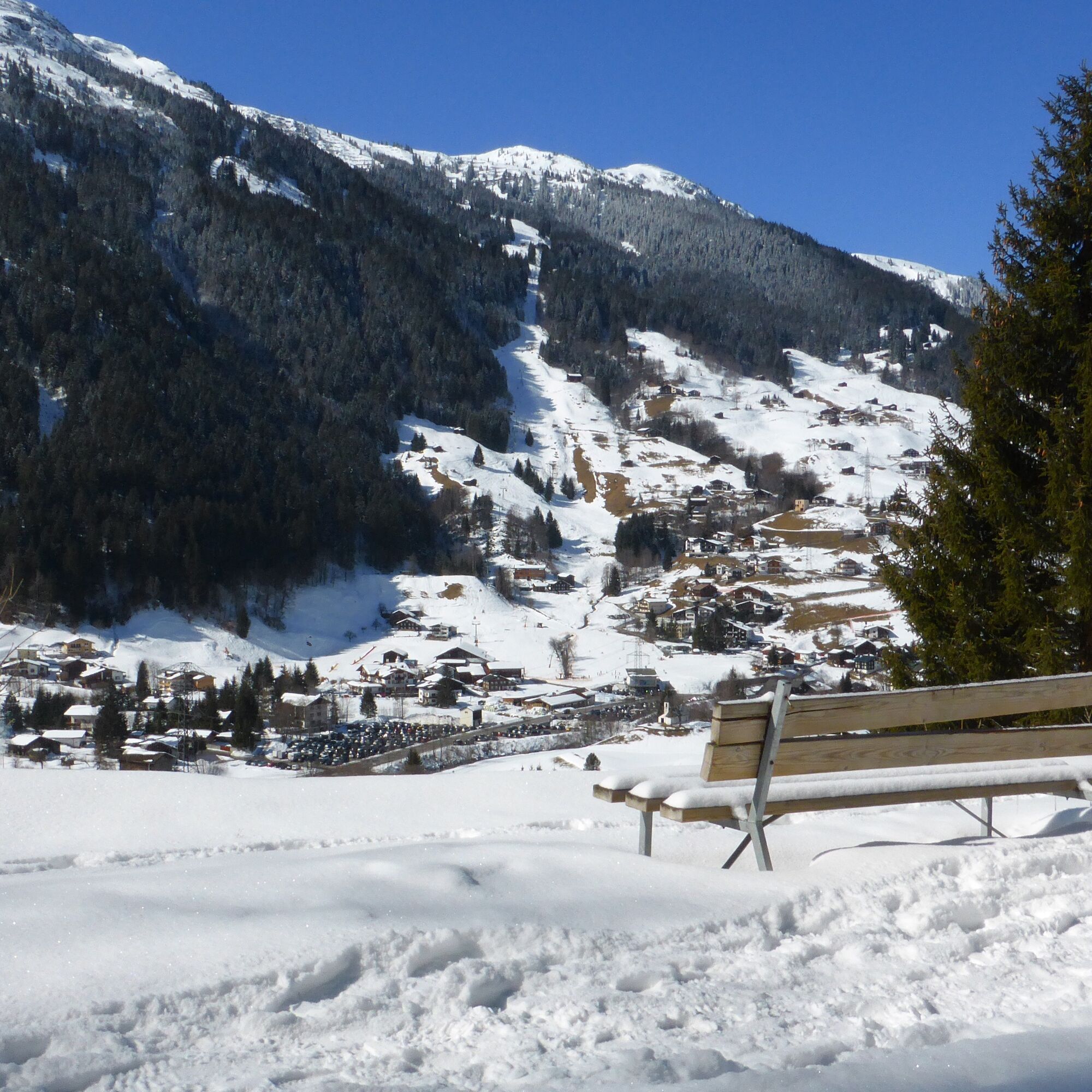
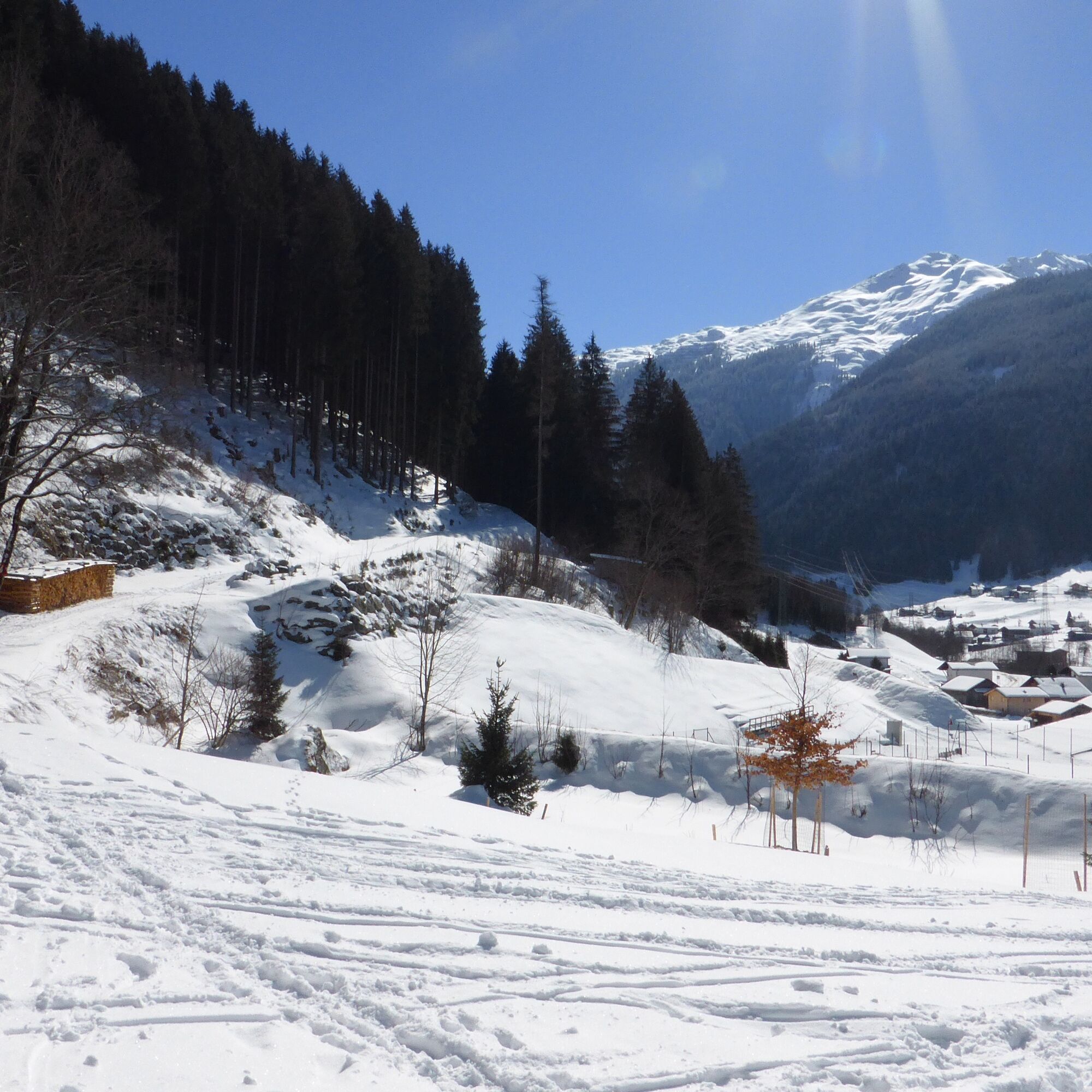
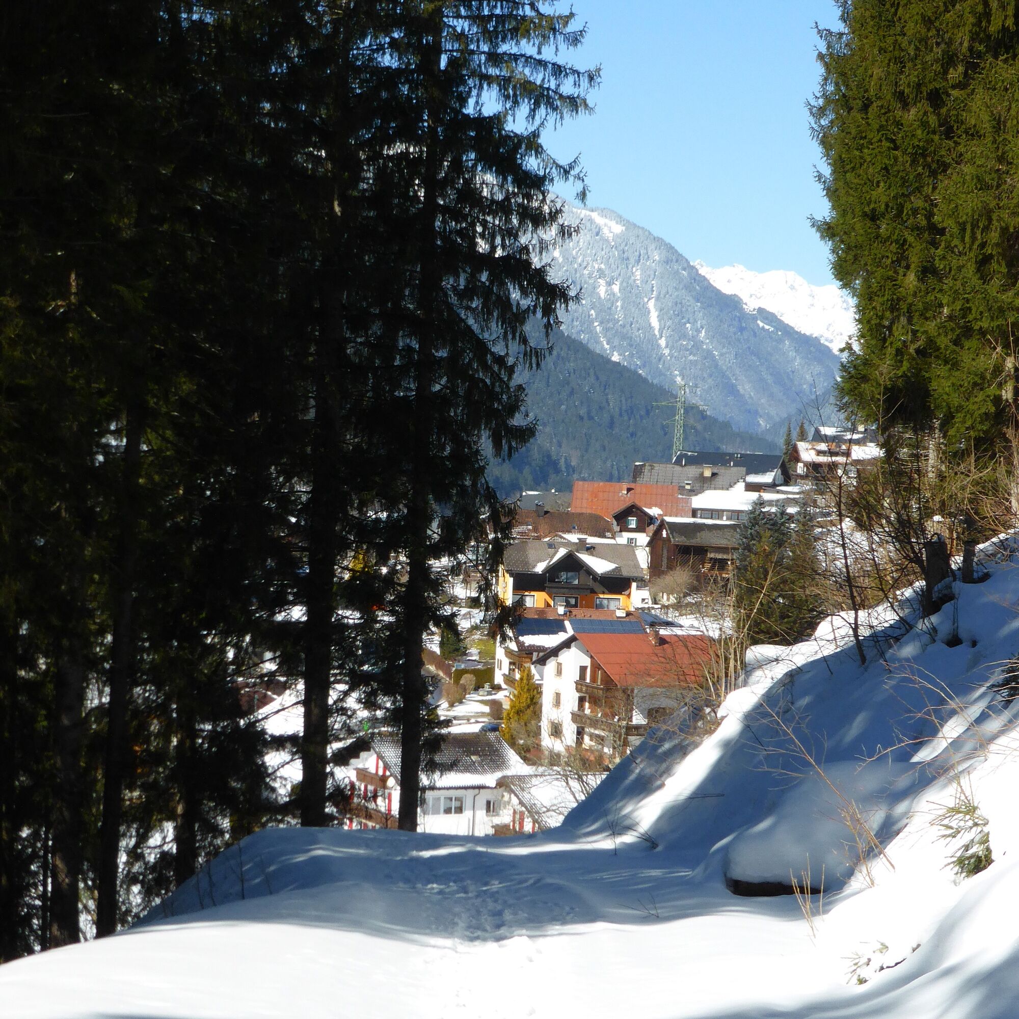
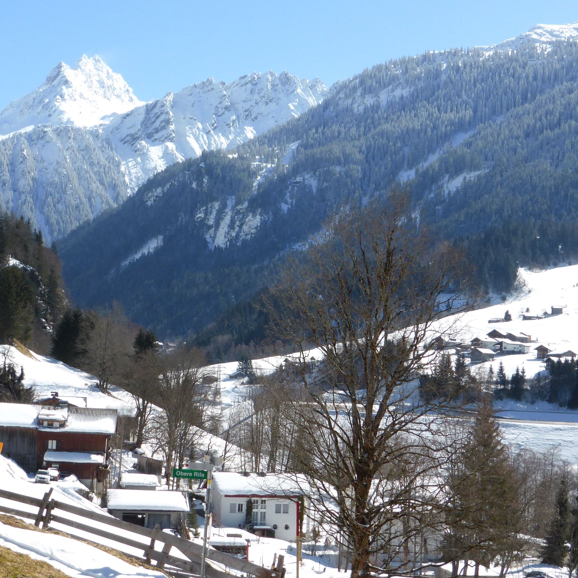
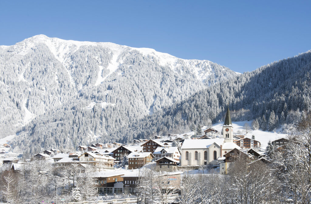
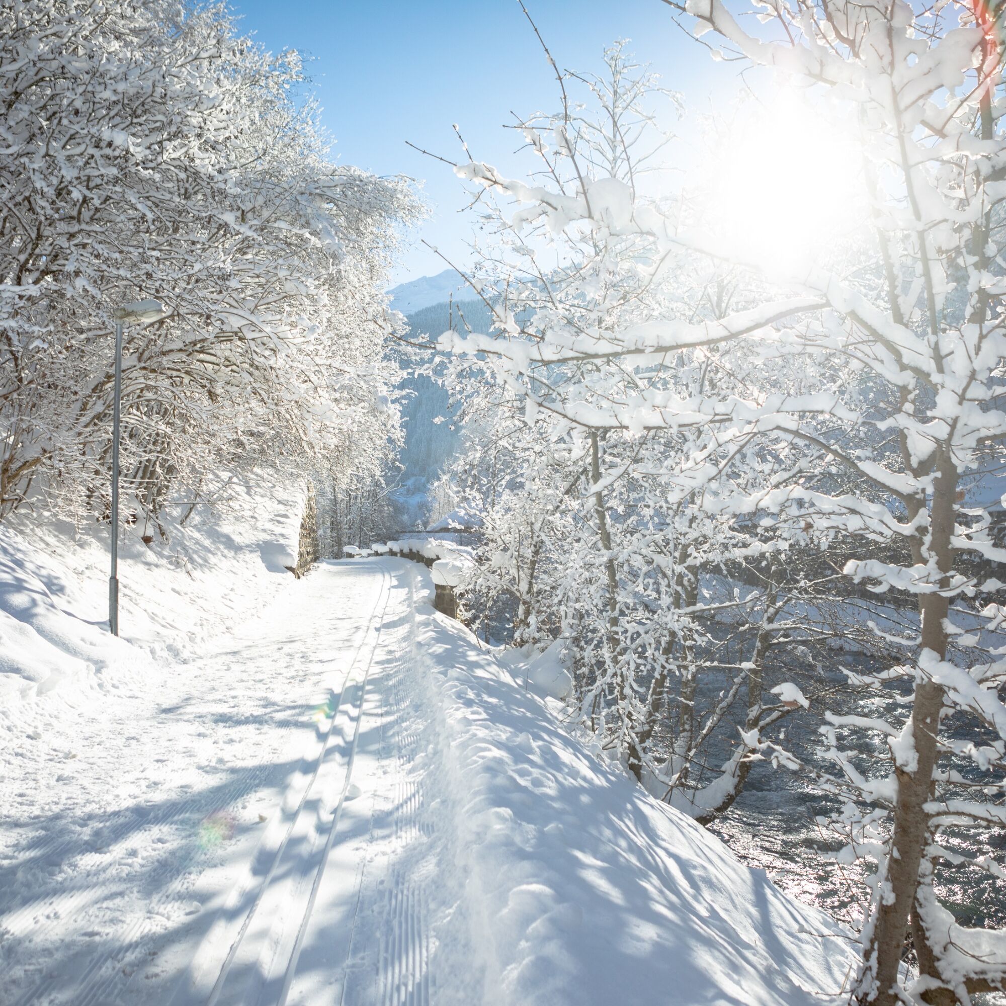
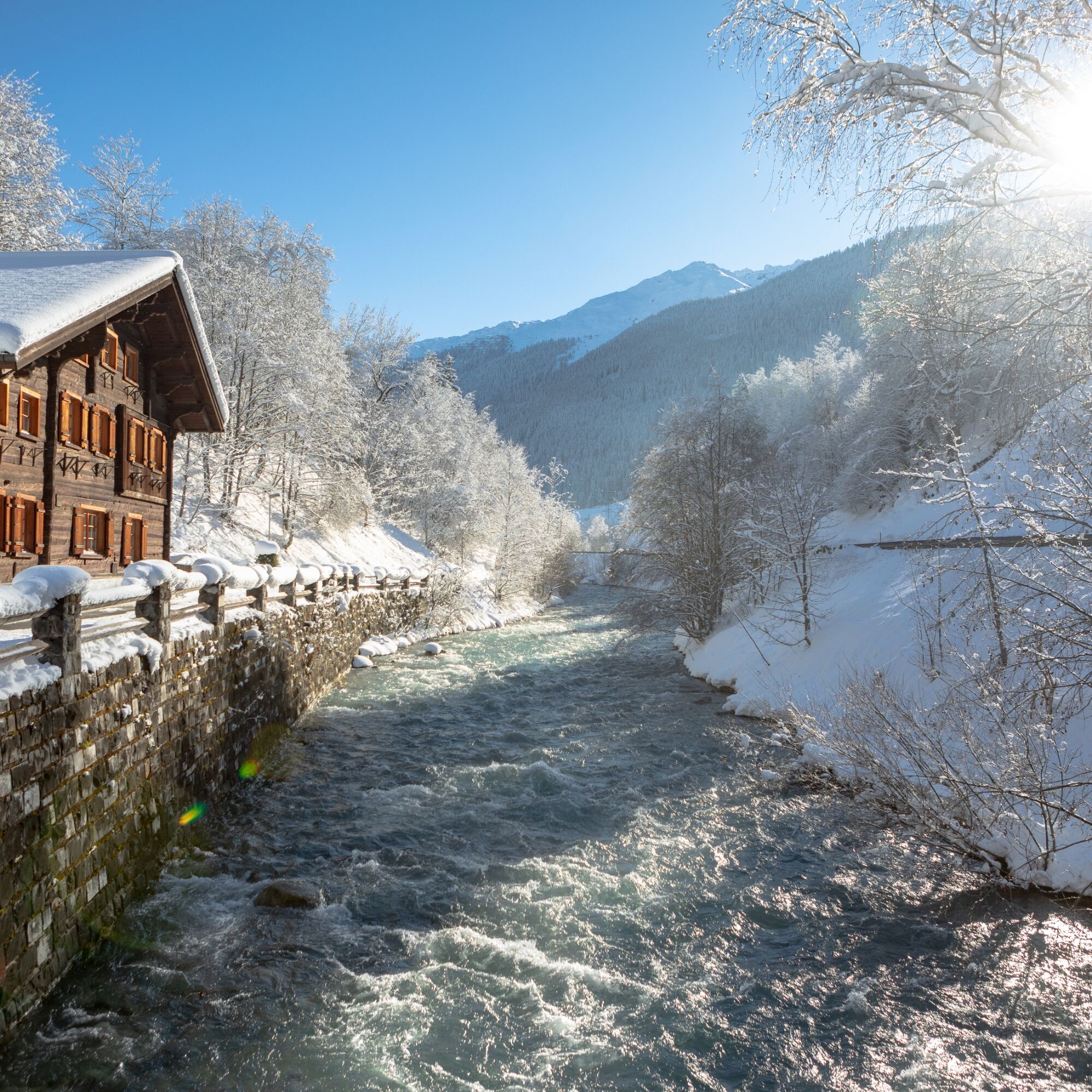
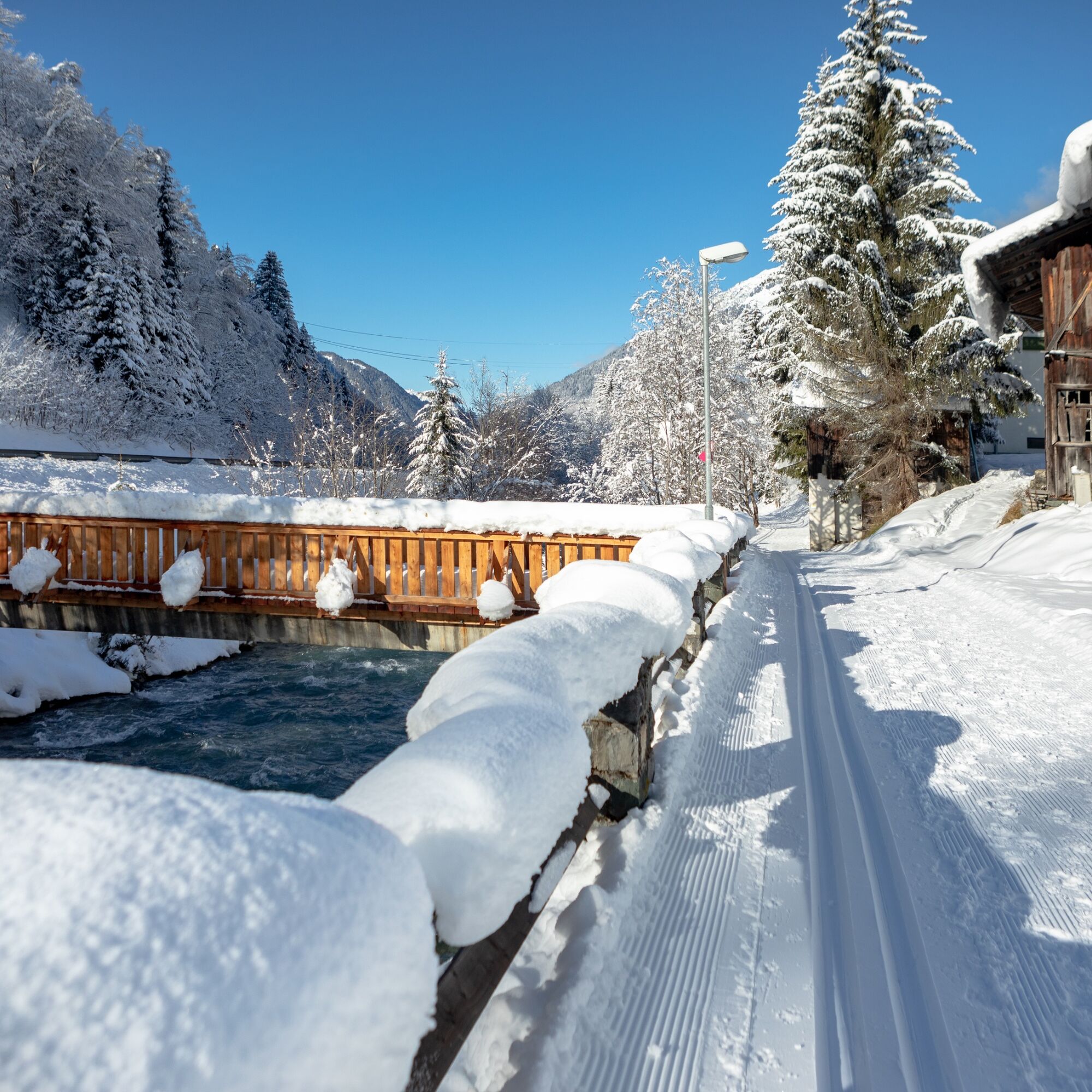

You start the winter hiking trail from the center (community center) and go right past the Posthotel Rössle, following the path uphill. Shortly thereafter you reach a street called "Innere Gostastrasse" and follow it to the right. You pass the Sonnblick Hotel. A few meters later you reach the Kathrili holiday home. After the holiday home turn left onto the winter hiking trail to Kilknerwald and follow the signposts towards Rifa and Partenen. The path initially continues uphill, passing above the tennis courts. Beautiful views repeatedly open up of the Gaschurn town center and the opposite side of the valley. At the signpost you continue straight ahead towards Rifa/Partenen. After a few meters you reach a bridge which you cross (caution: black ice). After the bridge the path leads downhill, further through the forest. After a few meters a small brook flows down the slope on the left. Sometimes it is covered with ice and icicles. You remain on the path until it leads onto an asphalt road in the Bühel area. Now you follow the road further uphill until you reach the main road. Once there, you cross the main road and go over the bridge. At the end of the bridge follow the signpost "Illweg Untere Trantrauas" back to the village center of Gaschurn.
Day hiking backpack (approx. 20 liters) with rain cover, comfortable and waterproof winter boots or sturdy hiking boots, possibly crampons and gaiters, warm and weatherproof clothing in layers, hat/headband, scarf, gloves, sun and rain protection, provisions and drinking water, thermos with hot drink, first aid kit, pocket knife, mobile phone, possibly headlamp, maps, possibly telescopic poles
EMERGENCY NUMBER: 144
European emergency number: 112 (works with any mobile network/mobile phone)
www.vorarlberg.travel/sicherheitstipps
Take the A14 motorway to the Bludenz/Montafon exit and then continue on the Montafonerstraße L188 to Gaschurn.
Just leave your car behind
The regional buses operate throughout the Montafon valley. The main lines run every half hour from Schruns train station.
Bus stop at the start/finish of the route: Gaschurn center / line 85
Timetable: www.vmobil.at
Arrival by train to Montafon
From Bludenz train station the Montafonerbahn runs hourly (sometimes every half hour). There are also direct connections from Lindau (D) and from Bregenz.
Timetable: www.oebb.at
Gaschurn center or at the valley station of the Versettla cable car
2
This route is marked on the overview map "Aktivkarte Schnee" on the back with the pink number 16. The map is available free of charge at the Montafon tourist information offices.
Získejte přehled
Vždy živě na místě s více než 9 500 webkamerami. bergfex Jako uživatel Pro si nyní můžete zobrazit odpovídající webové kamery pro mnoho prohlídek v aplikaci prohlídky z. Můžete si tak přímo prohlédnout aktuální podmínky.
Oblíbené prohlídky v okolí
-
4.9
Hiking trail Piz Buin - view
středníTuristika 14.4 km -
4.7
Smuggler’s path
středníTematická stezka 8.60 km -
4.7
Kristberg - Wasserstubental - Silbertal
světloTuristika 13.8 km -
4.5
Madrisella summit path
středníTematická stezka 10.8 km -
4.8
Heilbronner lodge
středníTuristika 13.0 km -
4.9
Alpgues Runde
středníTuristika 9.21 km -
4.8
Madrisella via ferrata
heavyVia ferrata 8.52 km -
5.0
Menta Alm - Scheibenalm
světloTuristika 11.4 km -
3.2
Bielerhöhe and circular hike around the Silvretta reservoir
středníTuristika 13.1 km -
4.7
Gargellner Window Path
středníTematická stezka 7.21 km
Pěší turistika a stopování


Nenechte si ujít nabídky a inspiraci pro vaši příští dovolenou
Vaše e-mailová adresa byl přidán do poštovního seznamu.





