







Via Alpina - Montafon - Gargellen to Tübinger Hut
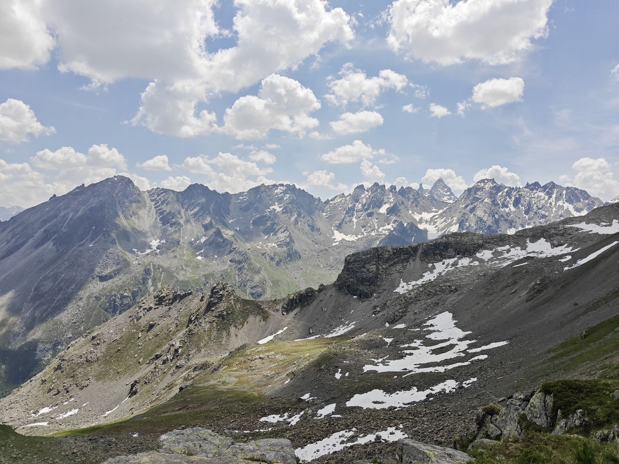
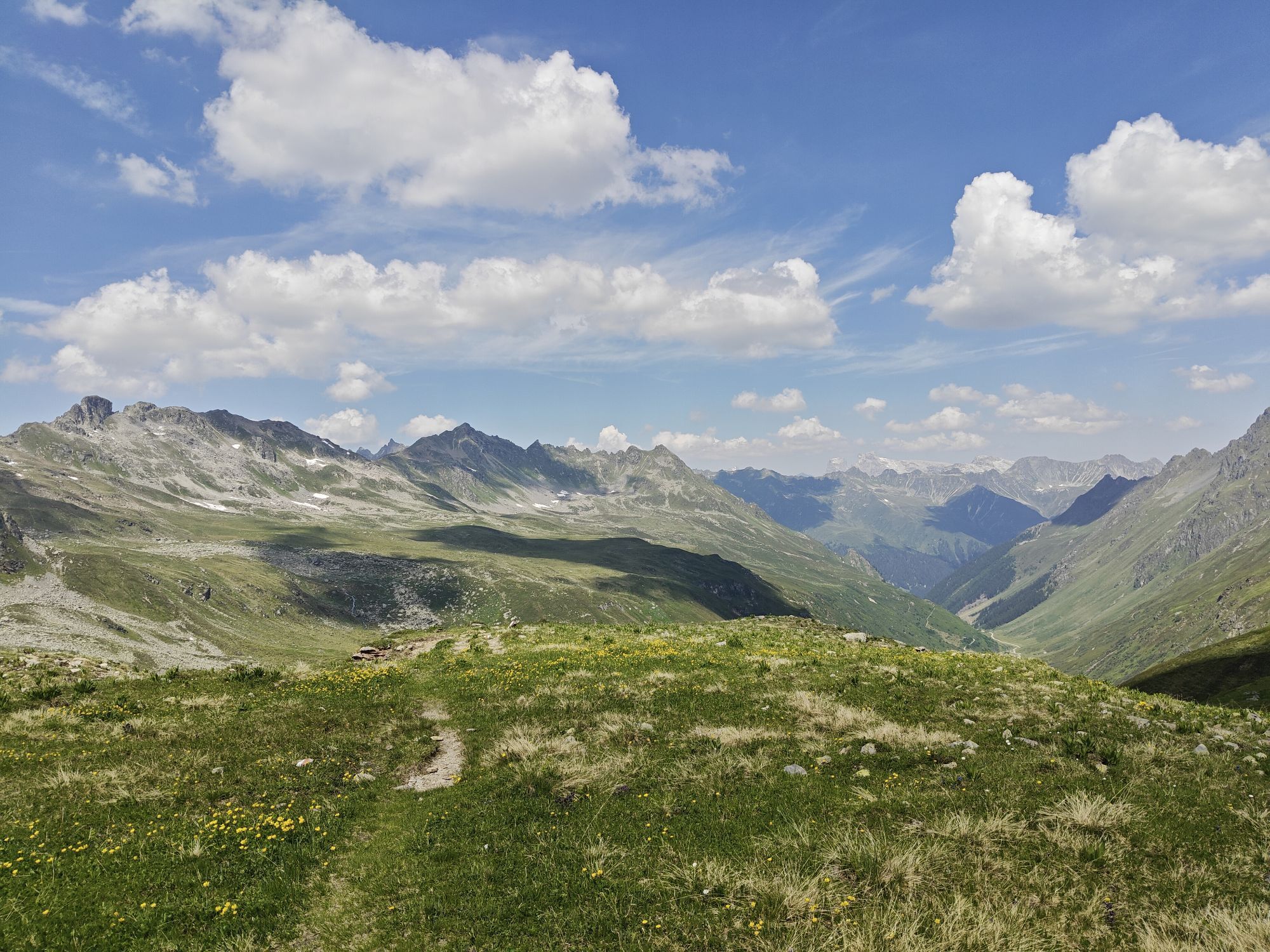
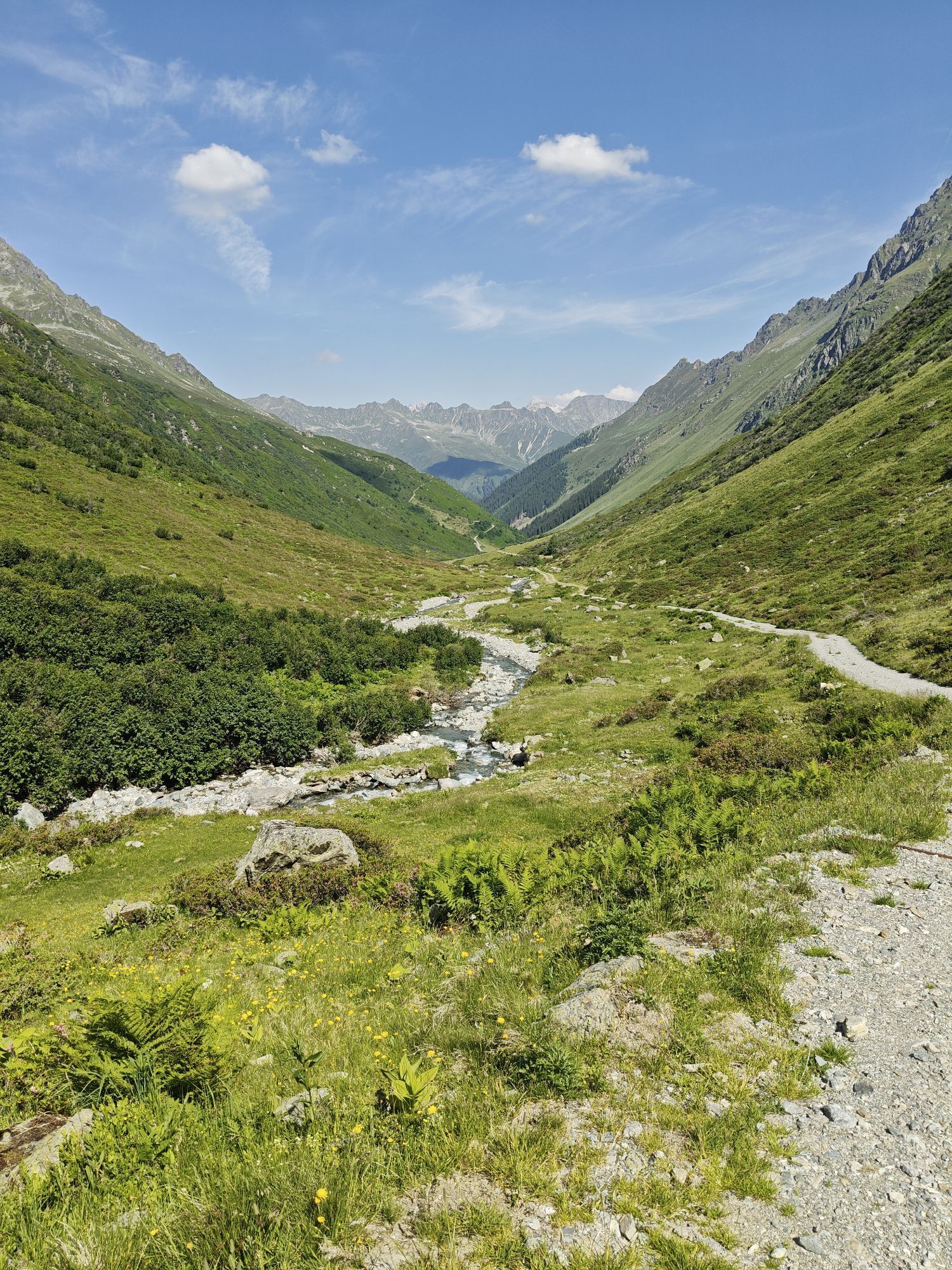
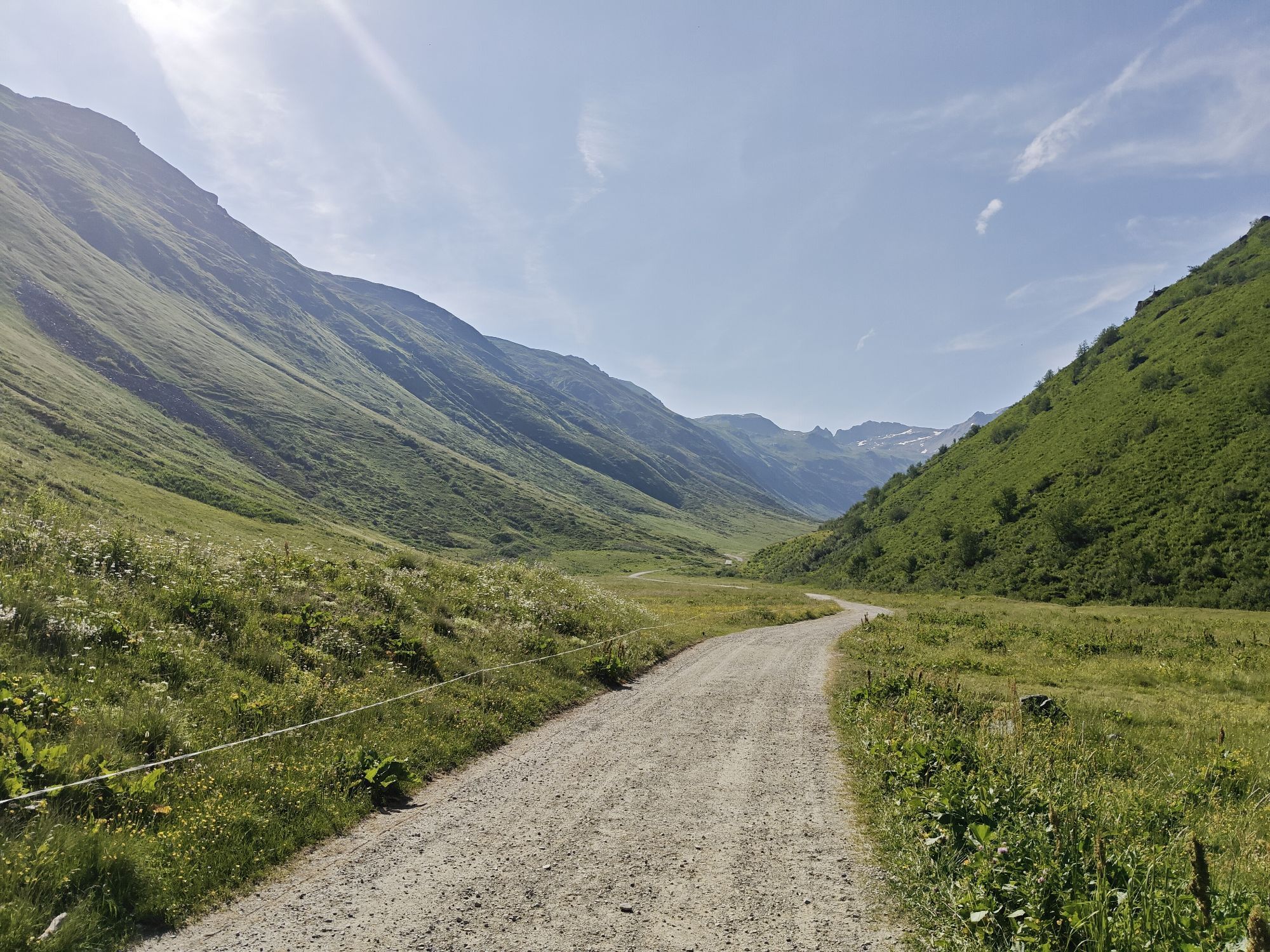
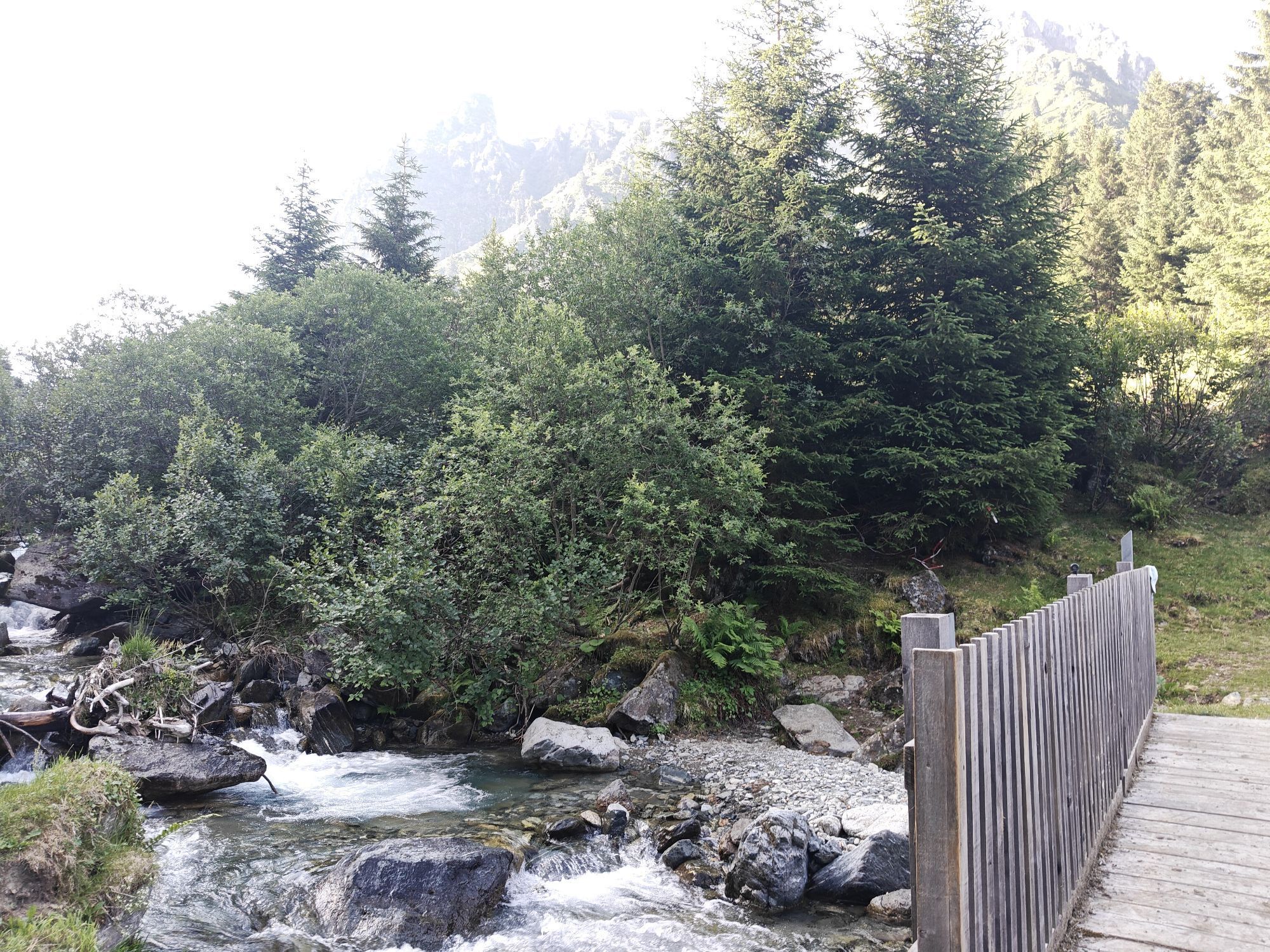
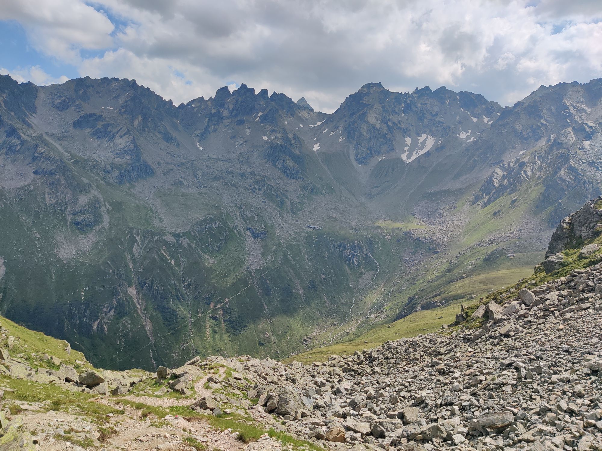
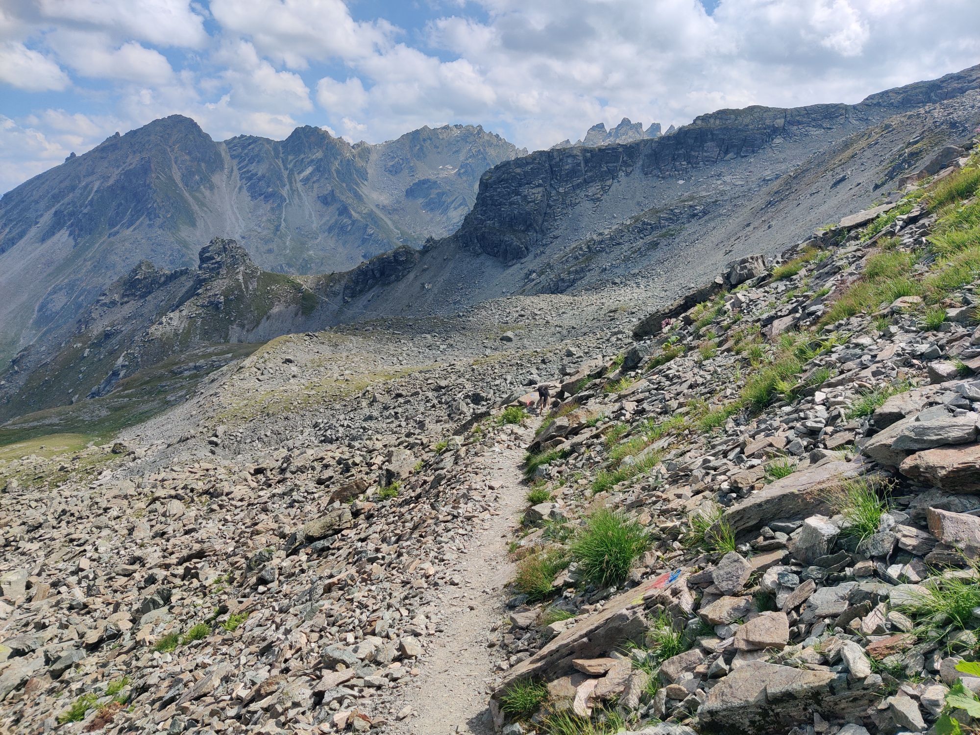
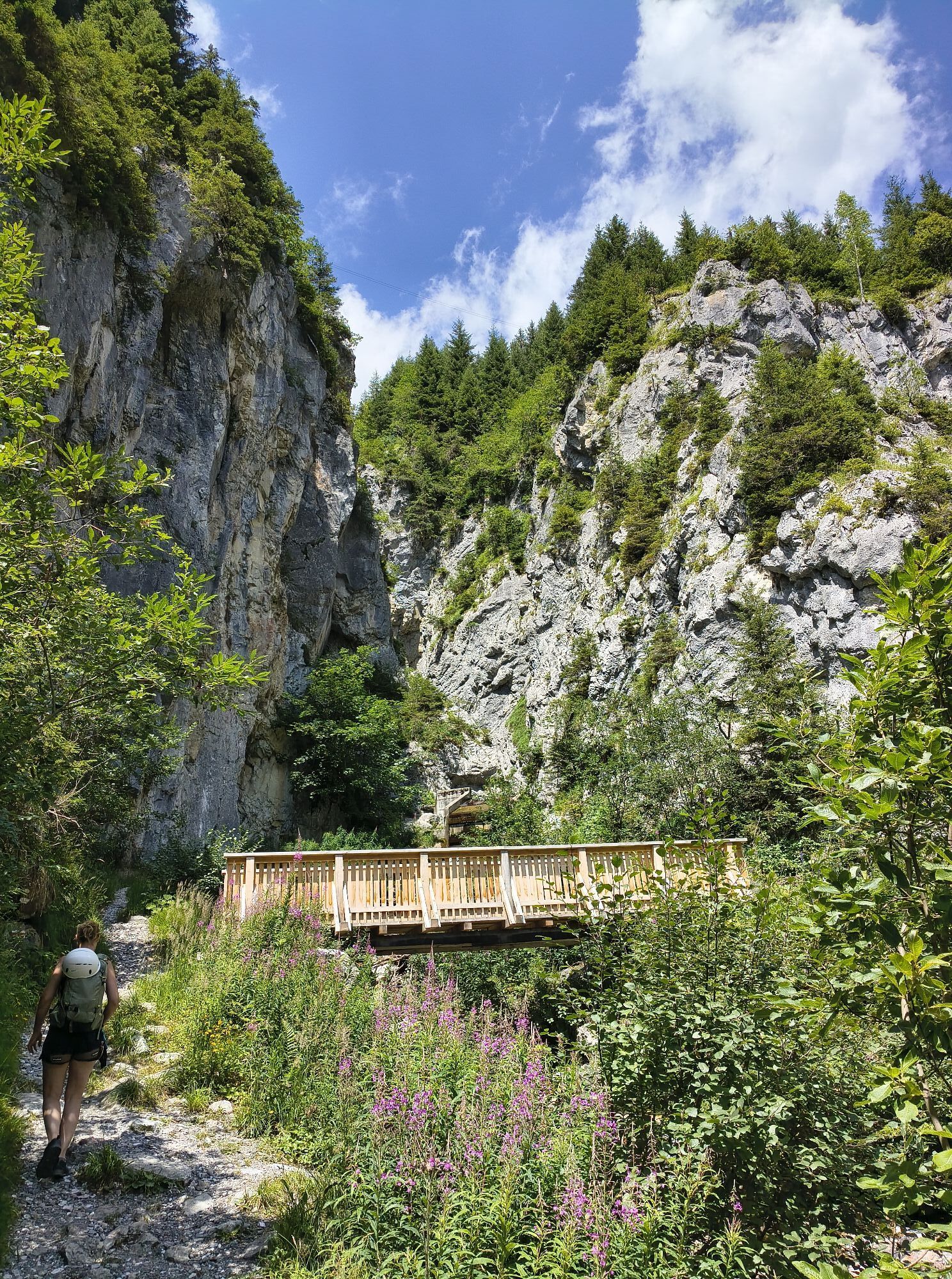
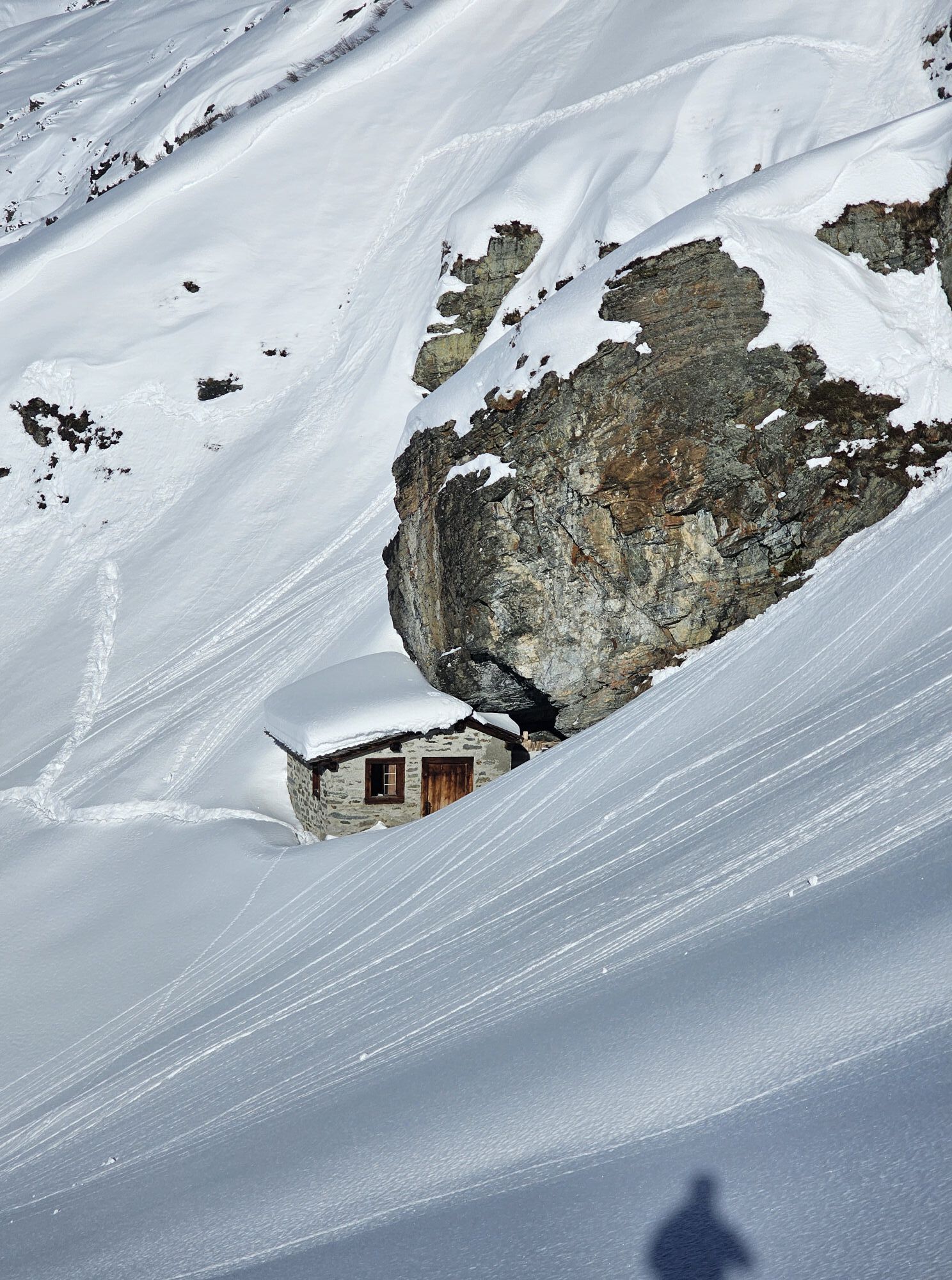
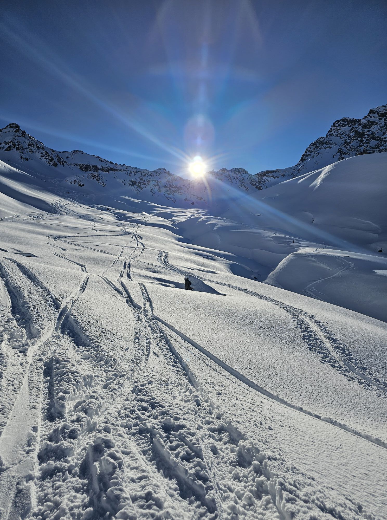
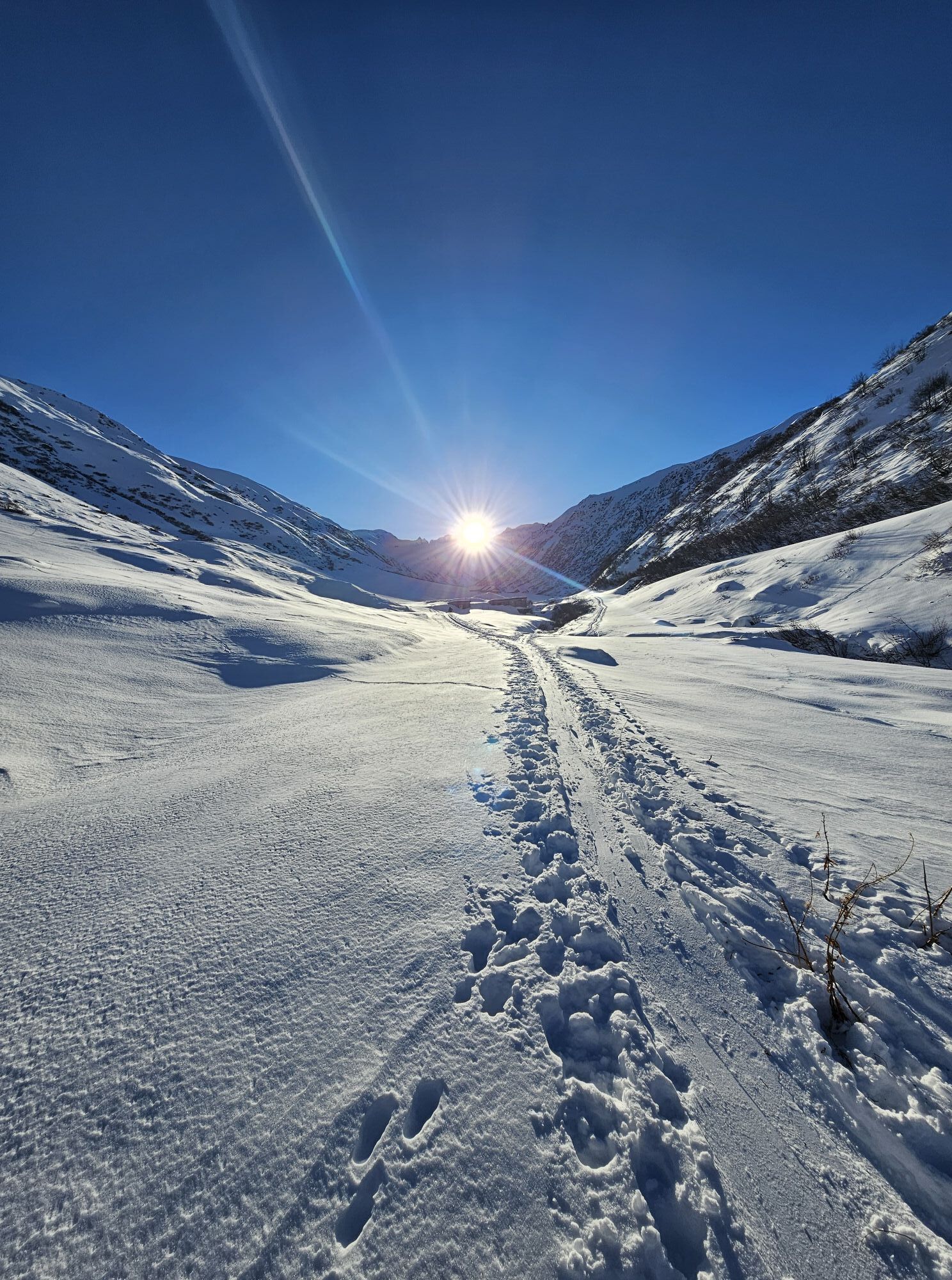
A route for mountain lovers who appreciate the natural beauty of the mountains as much as refined regional cuisine. The hiking trails lead through the varied Rätikon. The limestone of the Rätikon, in contrast...
A route for mountain lovers who appreciate the natural beauty of the mountains as much as refined regional cuisine. The hiking trails lead through the varied Rätikon. The limestone of the Rätikon, in contrast to the blooming alpine meadows on the steep walls of the impressive peaks Sulzfluh, Drei Türme, and Drusenfluh, shape the character of this hut-to-hut hike. Passing by Lake Lünersee, you can experience hydropower up close, and with an overnight stay in Switzerland, you get to know Prättigau.
Important: For this demanding route, you should plan your personal daily stages and reserve the overnight stays in the huts in advance!

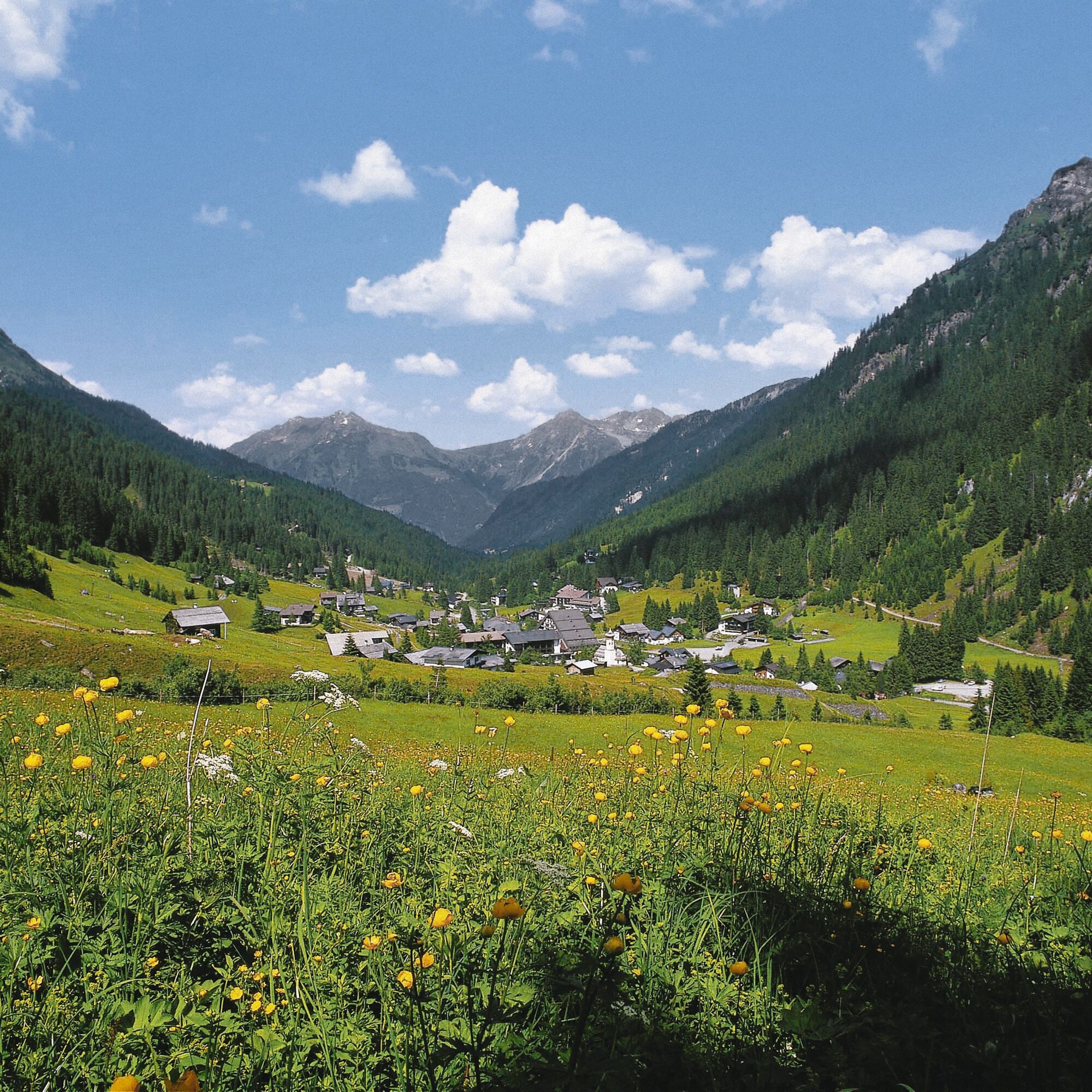
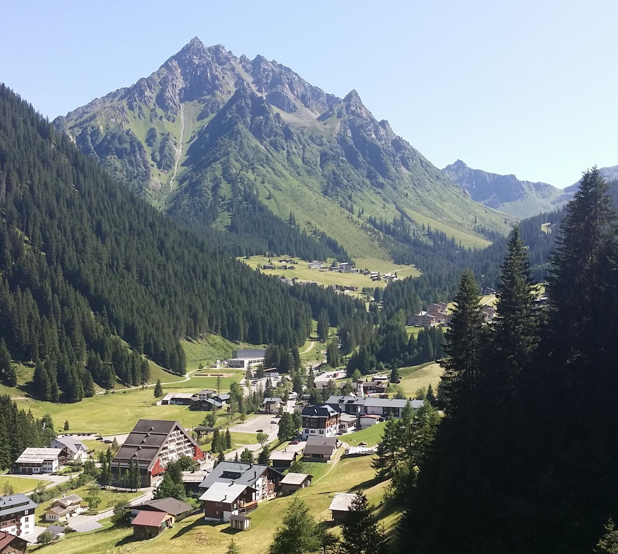
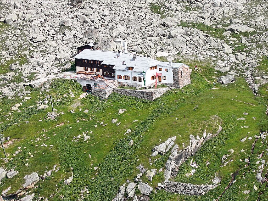
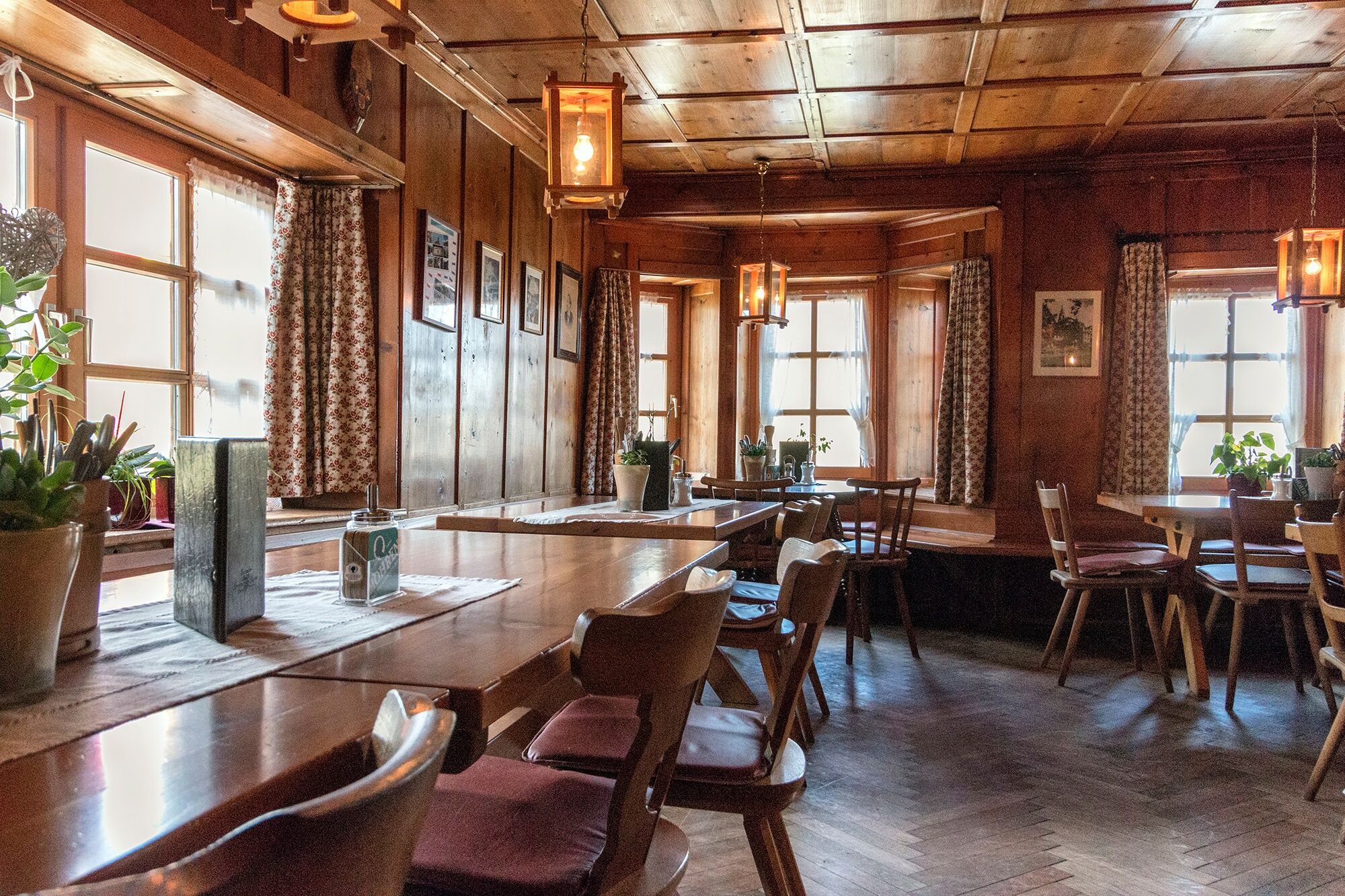
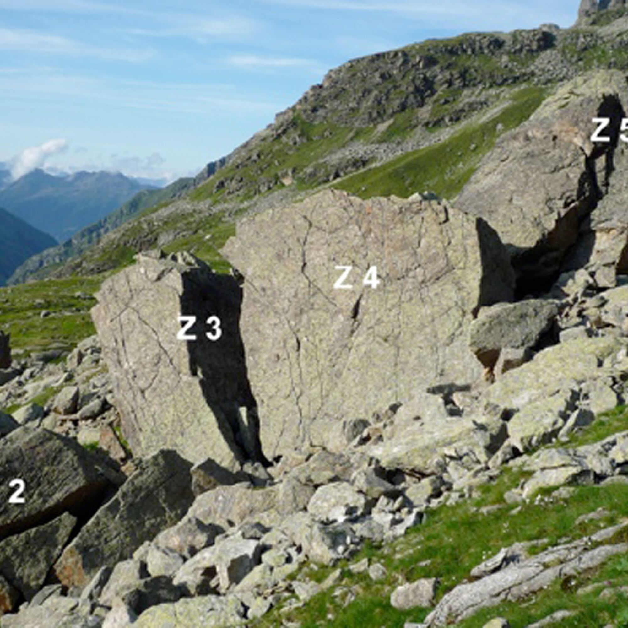
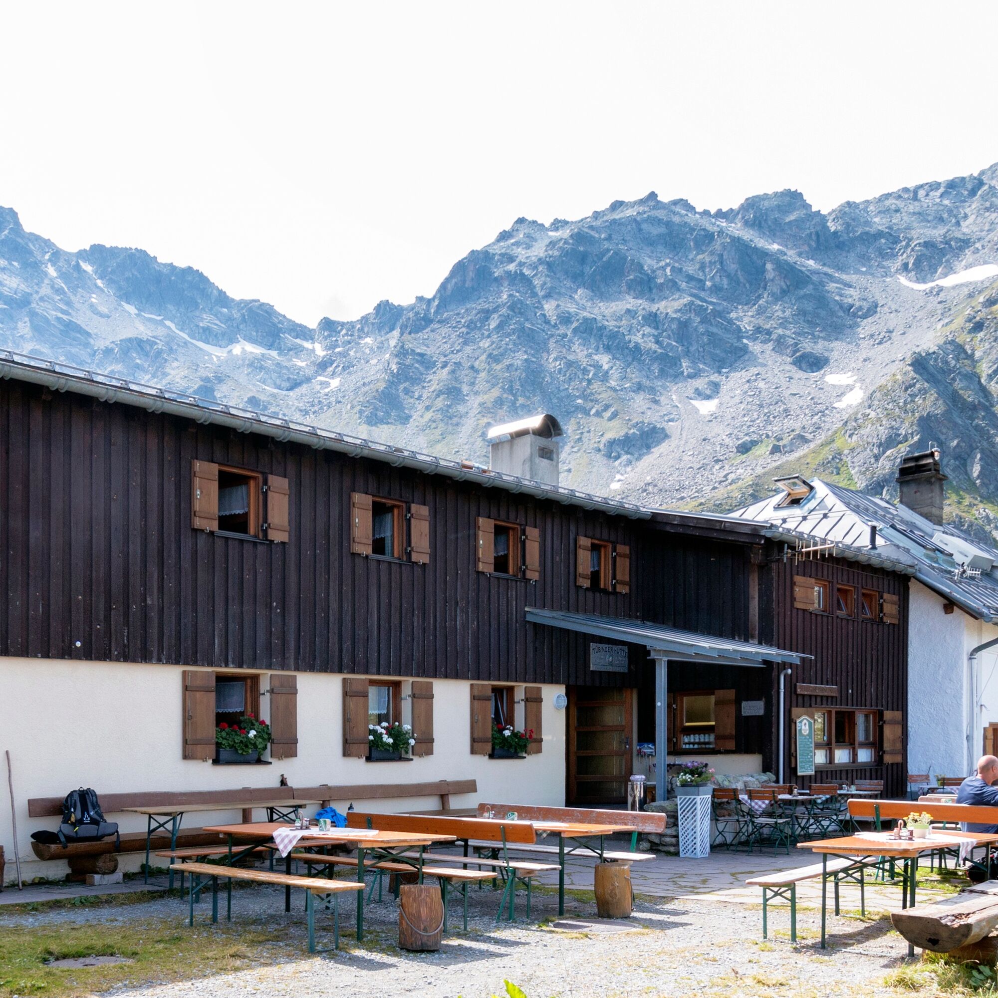
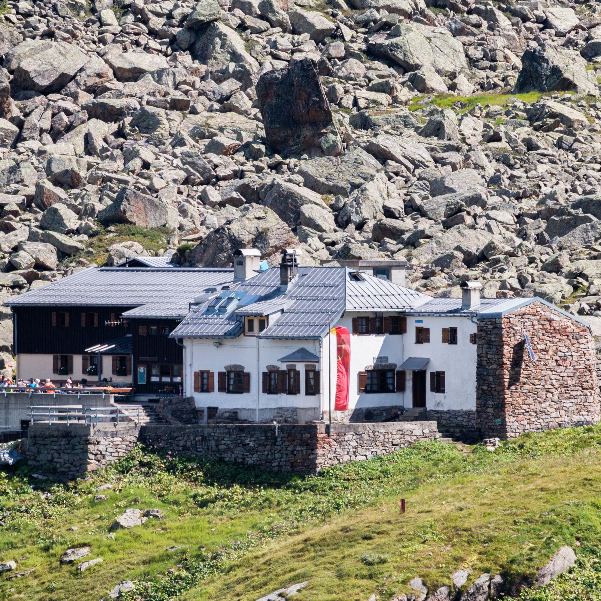
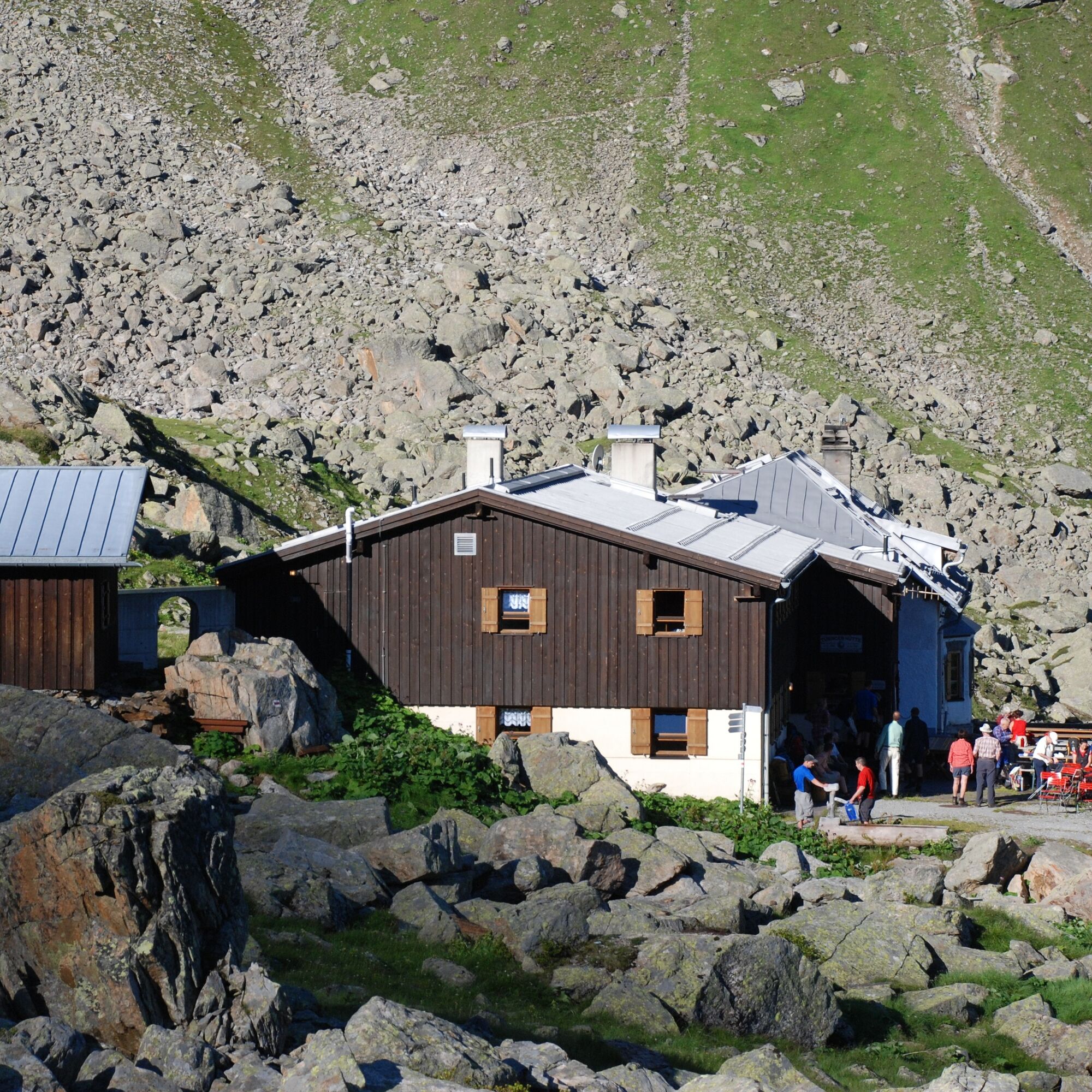
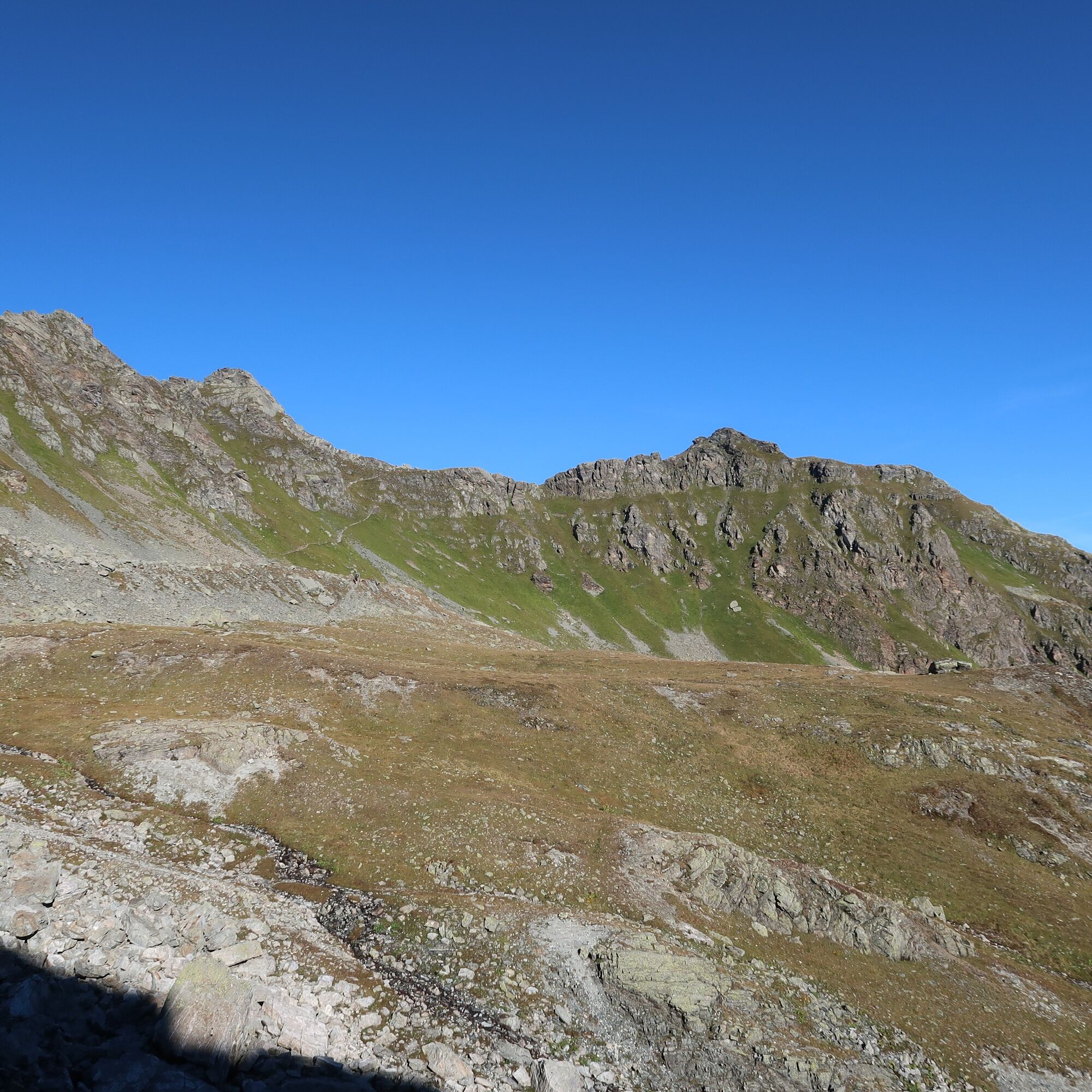

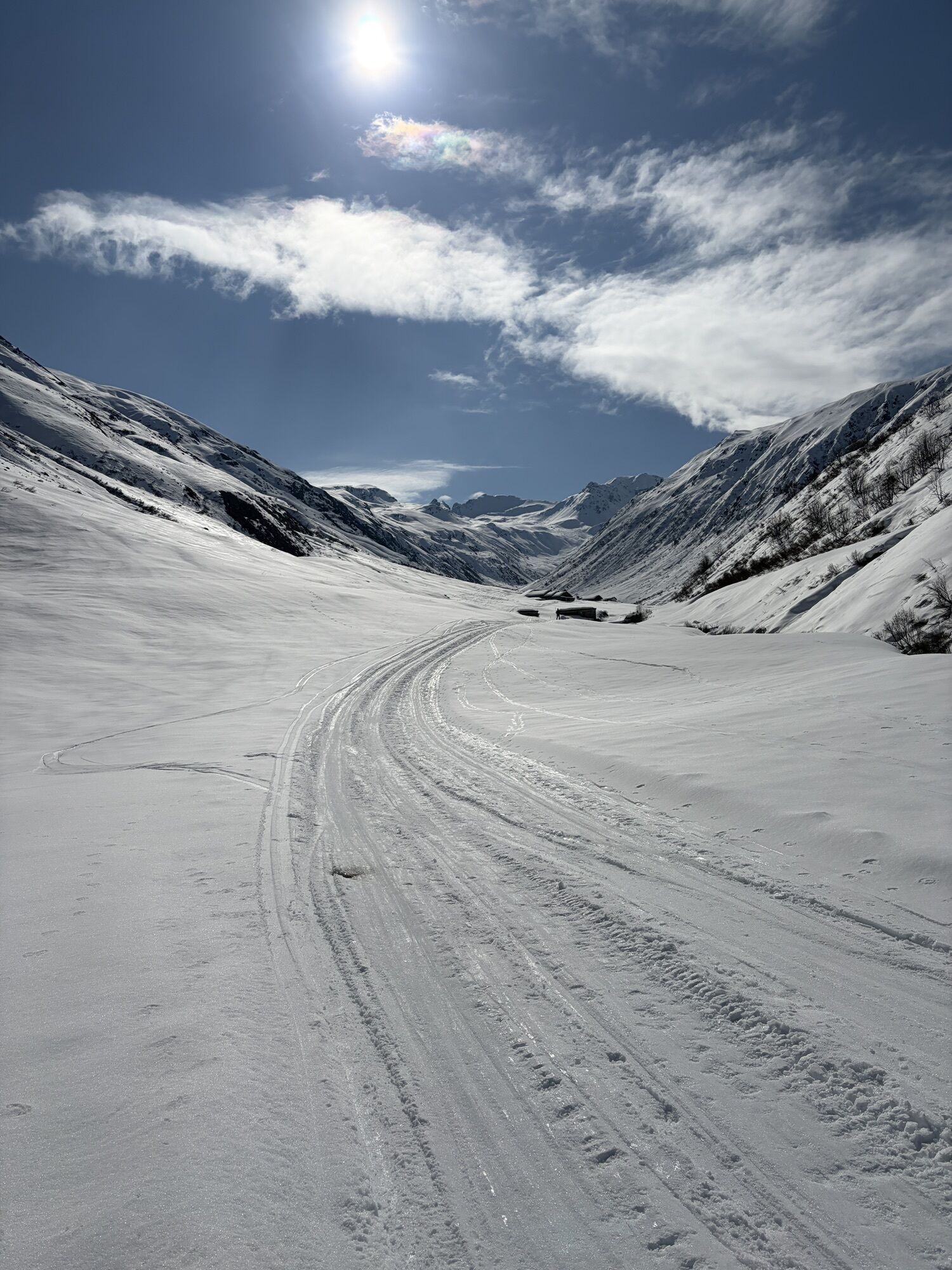
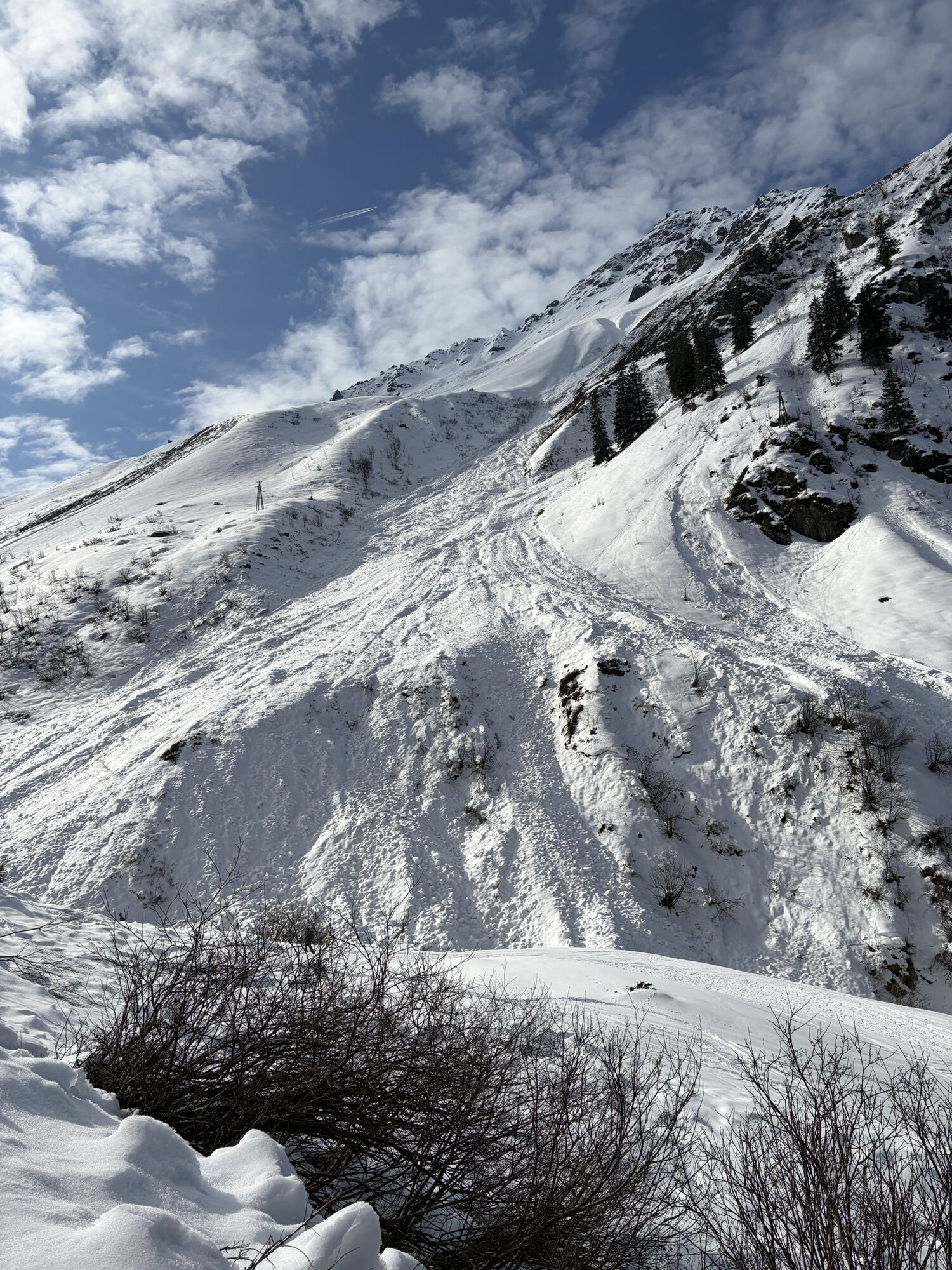
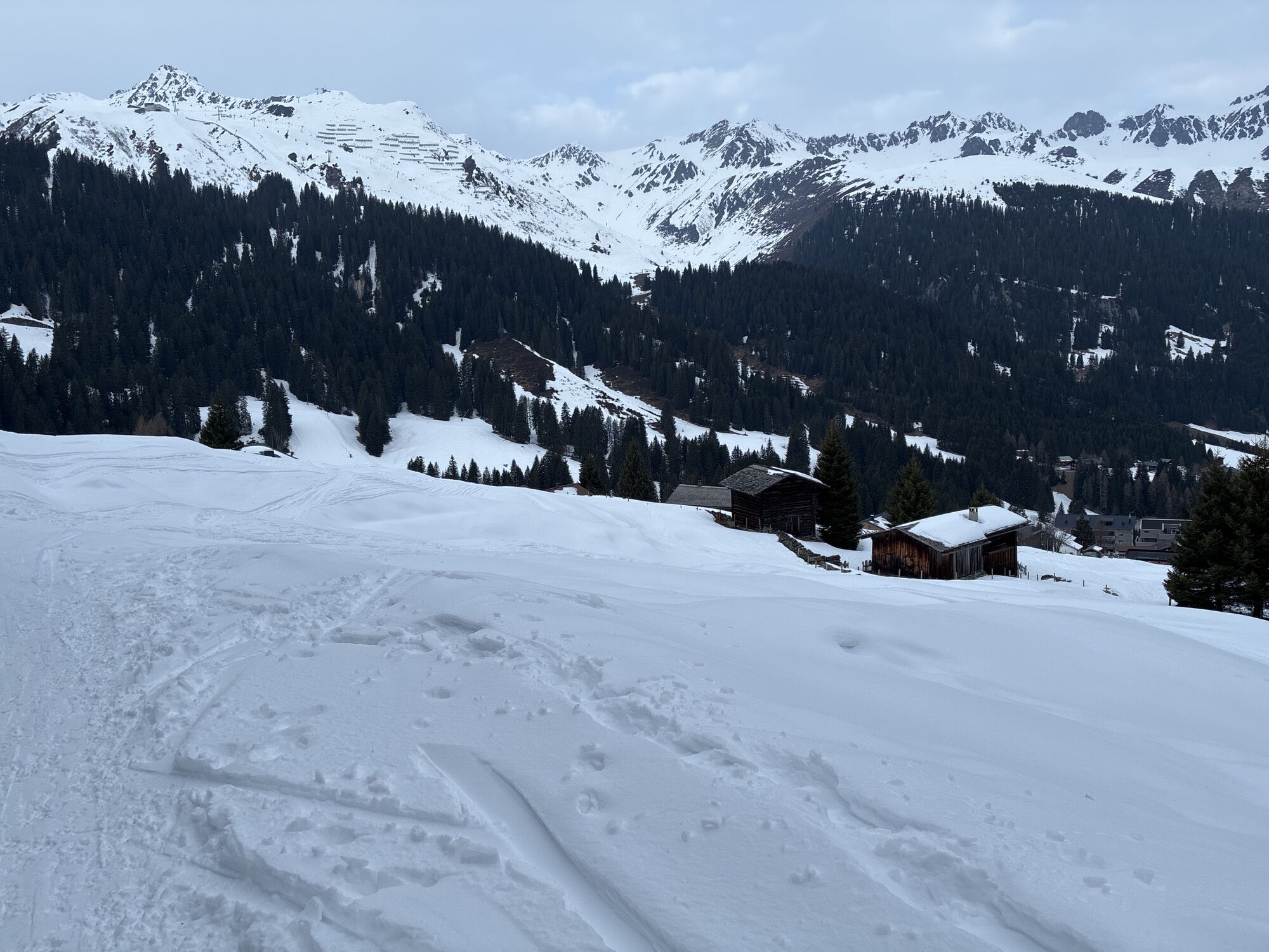
From the center of Gargellen (1,423m), you cross the next bridge over the Suggadinbach to the forest edge at the foot of the steeply rising Schmalzberg and hike on a farm road to the Vergaldaalp (1,820m). From there, the route continues on an alpine road with moderate inclines about one more hour valley inward. From the Rotbühel hunting hut, the mountain trail winds upwards to the 2,515m high Vergaldner Joch. Through a cirque hollow, you reach the Mittelbergjoch at 2,415m elevation. From there, it goes steeply downhill about 100 vertical meters again, then only slightly descending until you meet the path to the Garnerajoch. Here, you continue straight and reach almost level the Tübinger Hut (about 1 hour from the Vergaldner Joch).
Weather-appropriate clothing
Sturdy footwear with good tread
Enough to drink, a snack if needed
EMERGENCY CALL:
140 Alpine emergencies throughout Austria
144 Alpine emergencies Vorarlberg
112 European emergency number (works with any mobile/network)
The Rätikon, which the Via Alpina follows along almost its entire length to the Rhine Valley, is a fascinatingly diverse mountain range. Among geologists, it is famous because it offers impressive insights into the nappe structure of the Central Alps at the border between the Eastern and Western Alps. On the Vorarlberg side of the Rätikon, there is a strong alternation of Eastern Alpine limestones, marls, and main dolomite, which give the relief its very varied structure with several high valleys and distinctive mountain shapes. On the Prättigau side, the calcareous Alpine rock largely rests on a massive flysch base (Prättigau shale), more so than in the Walgau. This creates an image of steeply dropping bright limestone walls on widely green flysch slopes, characteristic otherwise for the Dolomites. Hence, they are sometimes referred to as the "Prättigau Dolomites." The mountain ridge is so distinctly pronounced that it was easy to draw the Austrian-Swiss border along it. With the same sharp division, it separates the Ill Valley - Montafon and Walgau - from that of the Landquart, the Prättigau. However, the separating effect of the main ridge and the differences in relief should not overshadow the many commonalities of the valleys on both sides. Both areas have long been politically linked, from belonging to the Roman province of Raetia prima with Chur as the capital to Habsburg sovereignty from 1477 to 1649. Ecclesiastically, the southern half of Vorarlberg belonged to the Diocese of Chur until 1818. Also, the commonalities in ethnicity with Rhaetian and Rhaeto-Romanic early history and the Walser who migrated in the late Middle Ages cannot be overlooked. Thus, the name "Rätikon" could be understood as a shared memory of ancient Raetia. Yet, this name only appeared in the 16th century somewhat by chance. In the valley end of the Garneratal and in the highlands of the Vergaldatal, the original natural character is still largely undisturbed, so that large biotopes with high conservation value are spoken of here. The westernmost section through the Silvretta leads through a high valley with larger south-exposed slopes than in Garneratal and in the neighboring Valzifenztal to the west. This climatic advantage is also reflected in the much richer alpine flora. It is also echoed in the name Vergalda. The valley was called in Rhaeto-Romanic Val calda (1423 Vallgalda) - "warm valley."
 Získejte přehled
Vždy živě na místě s více než 9 500 webkamerami. bergfex Jako uživatel Pro si nyní můžete zobrazit odpovídající webové kamery pro mnoho prohlídek v aplikaci prohlídky z. Můžete si tak přímo prohlédnout aktuální podmínky.
Získejte přehled
Vždy živě na místě s více než 9 500 webkamerami. bergfex Jako uživatel Pro si nyní můžete zobrazit odpovídající webové kamery pro mnoho prohlídek v aplikaci prohlídky z. Můžete si tak přímo prohlédnout aktuální podmínky.


Oblíbené prohlídky v okolí
-
4.9
Hiking trail Piz Buin - view
středníTuristika 14.4 km -
5.0
Ski tour to the Lindauer Hut (1,744 m)
světloLyžařská trasa 14.0 km -
4.7
Smuggler’s path
středníTematická stezka 8.60 km -
4.5
Madrisella summit path
středníTematická stezka 10.8 km -
4.9
Alpgues Runde
středníTuristika 9.21 km -
4.8
Madrisella via ferrata
heavyVia ferrata 8.52 km -
3.2
Bielerhöhe and circular hike around the Silvretta reservoir
středníTuristika 13.1 km -
3.0
Bergstation Grüneck Golmerbahn - Alpe Latschätz - Lindauer Hütte - Latschau
světloTuristika 11.1 km -
4.7
Gargellner Window Path
středníTematická stezka 7.21 km -
4.9
Sulzfluh via ferrata, St. Antönien
heavyVia ferrata 11.3 km
Pěší turistika a stopování


Nenechte si ujít nabídky a inspiraci pro vaši příští dovolenou
Vaše e-mailová adresa byl přidán do poštovního seznamu.





