






A7: Silvretta-Bielerhöhe via the Saarbrücker Hütte to Vermuntsee

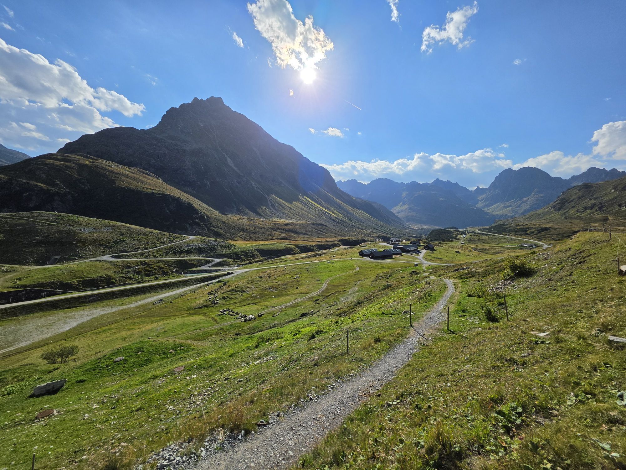
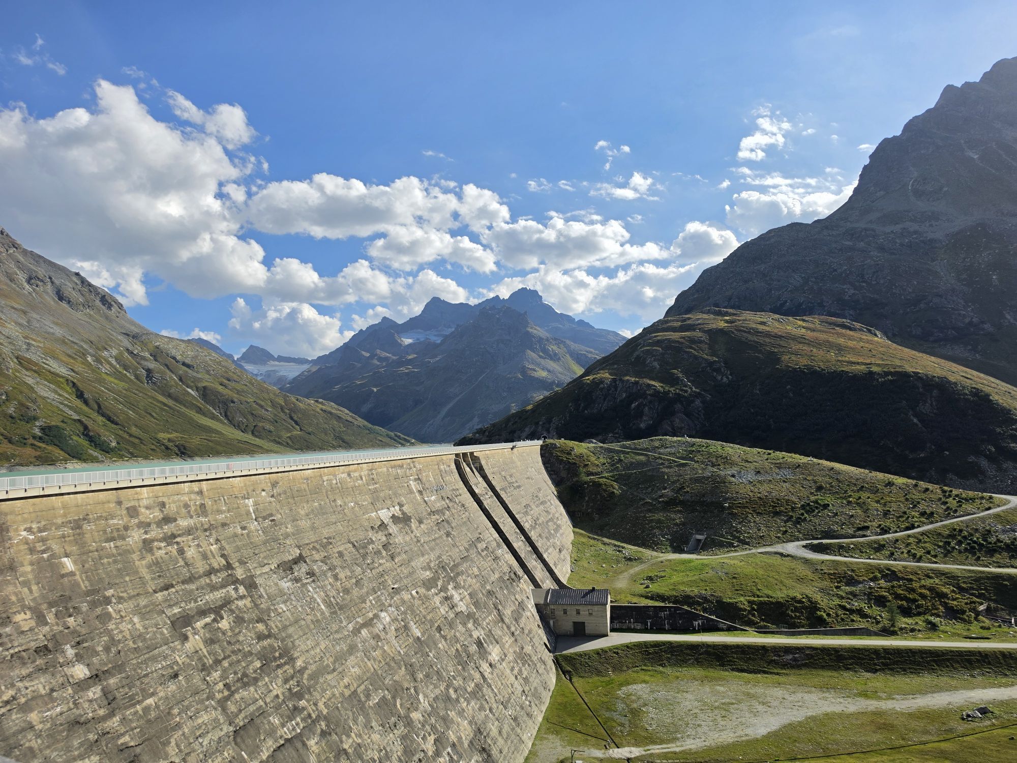

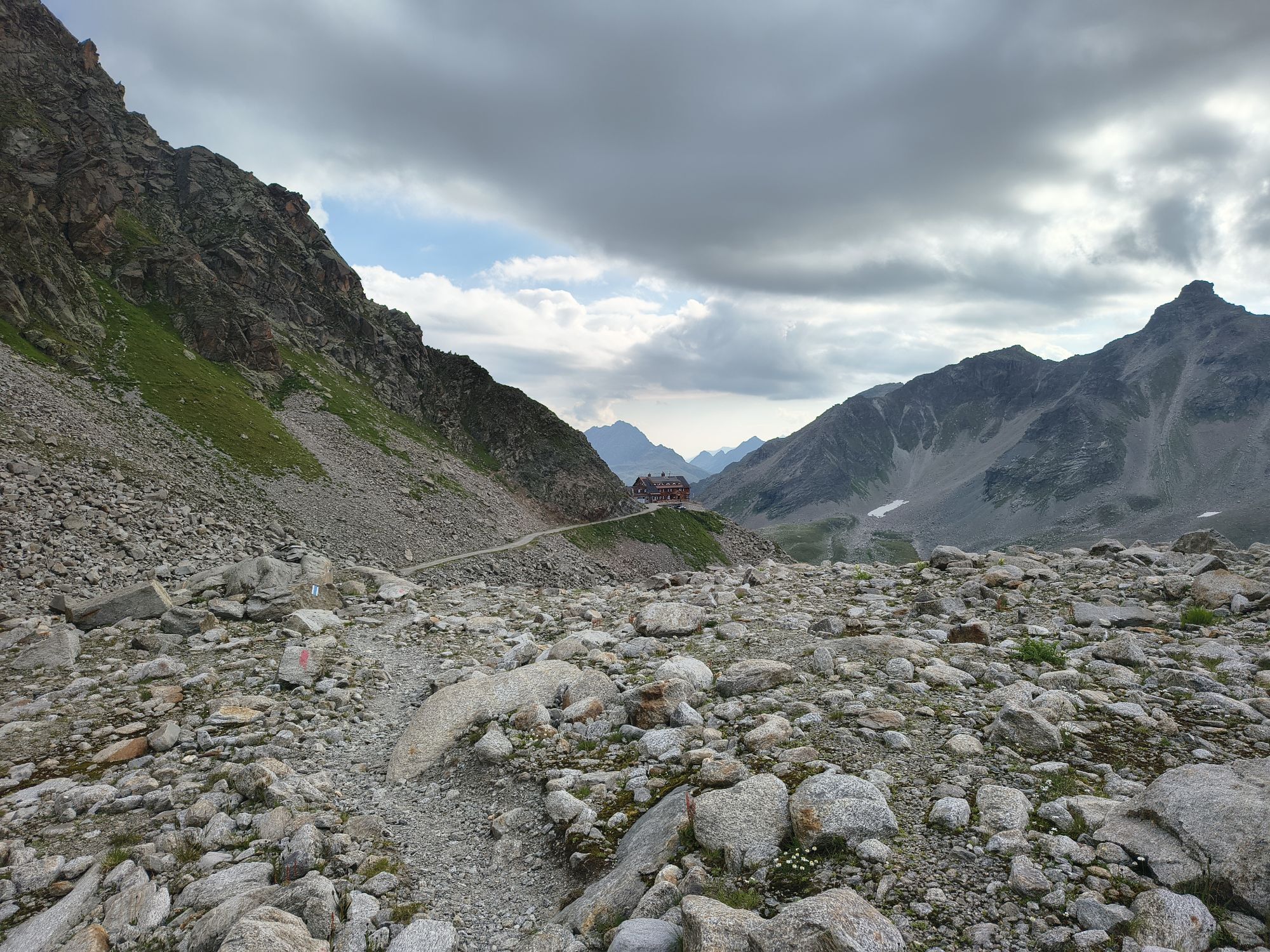
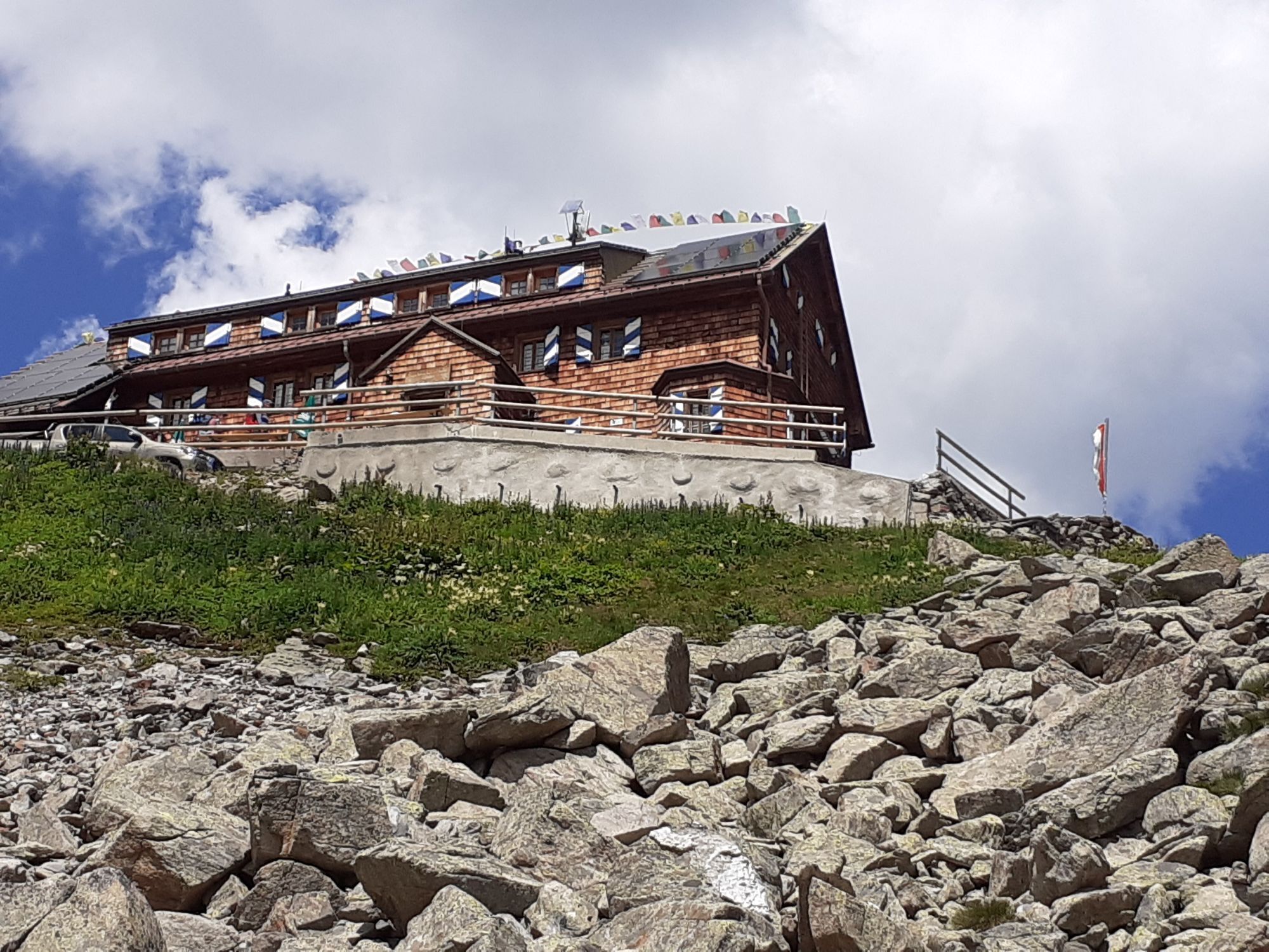
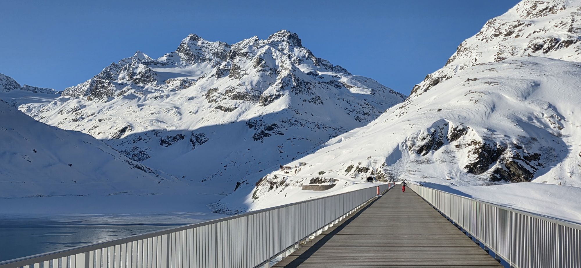
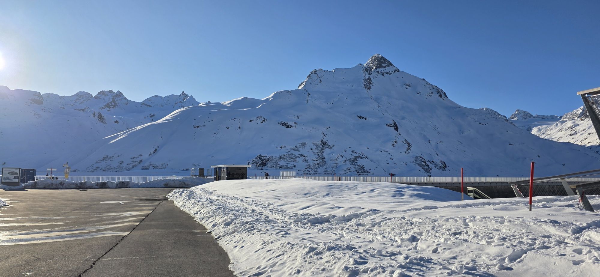
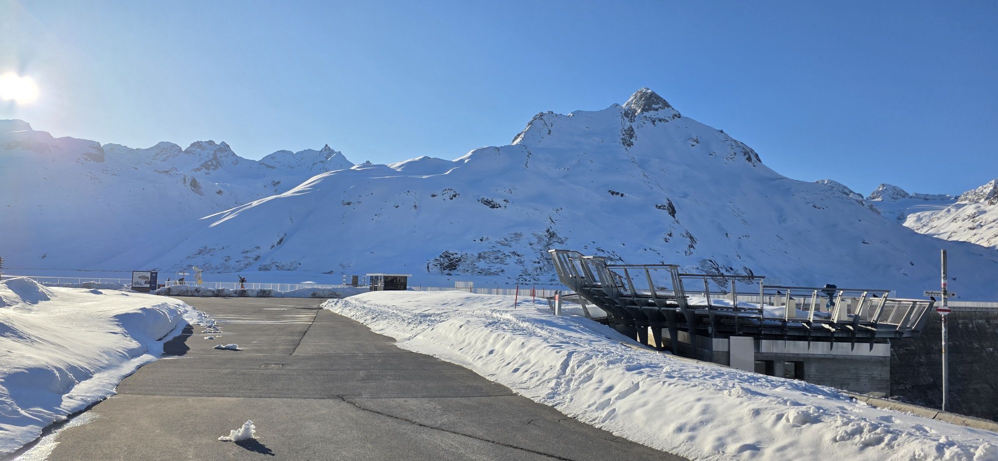
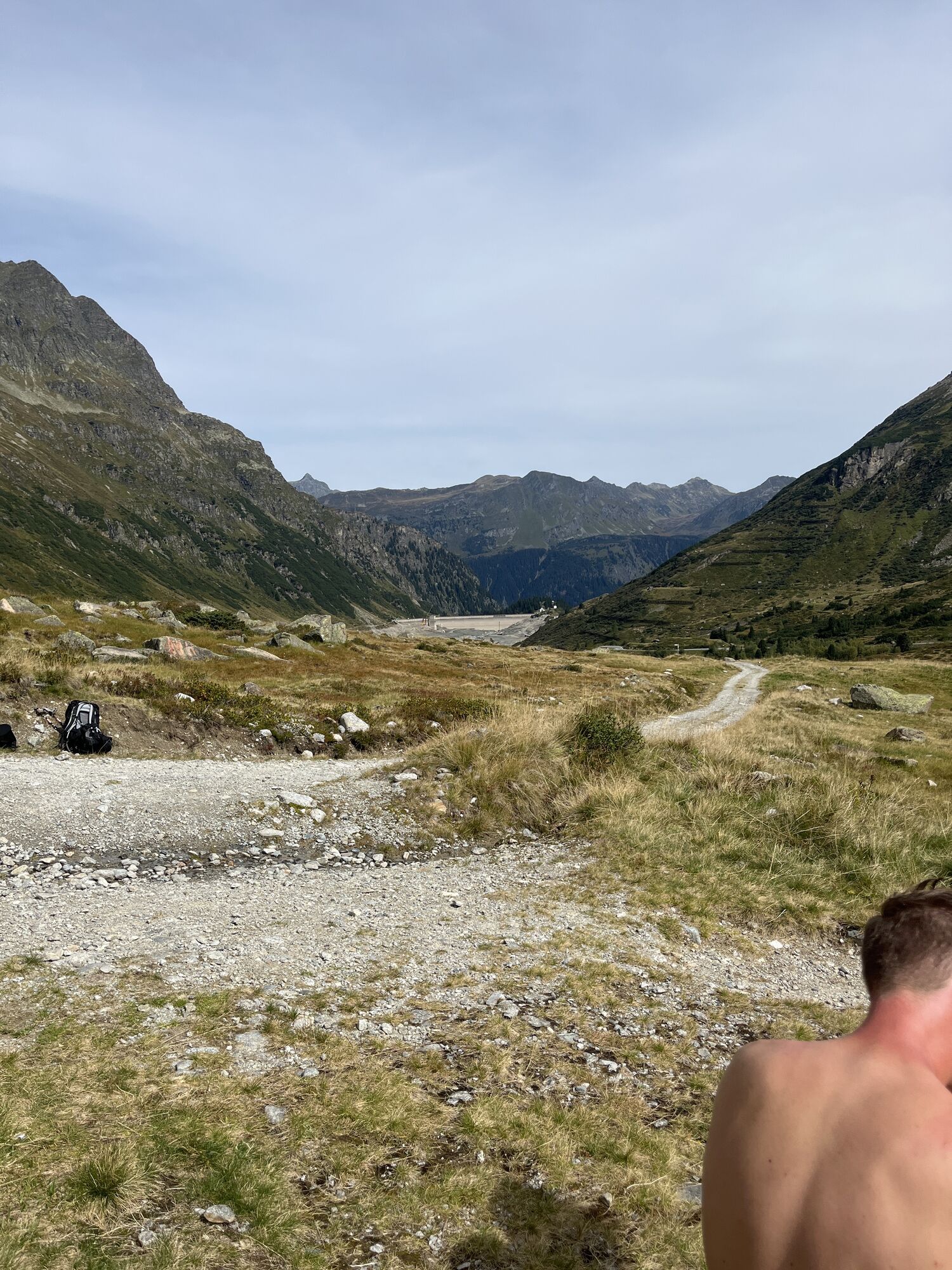
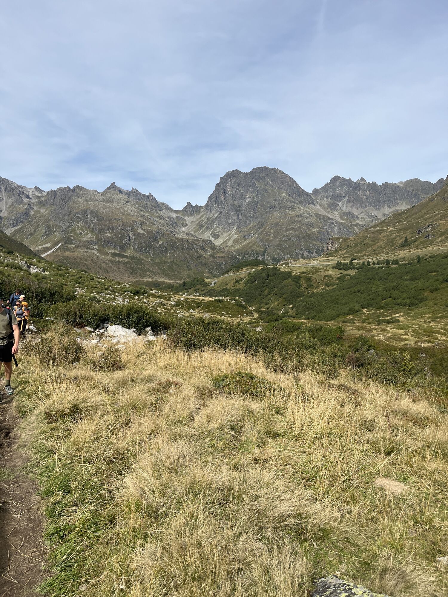
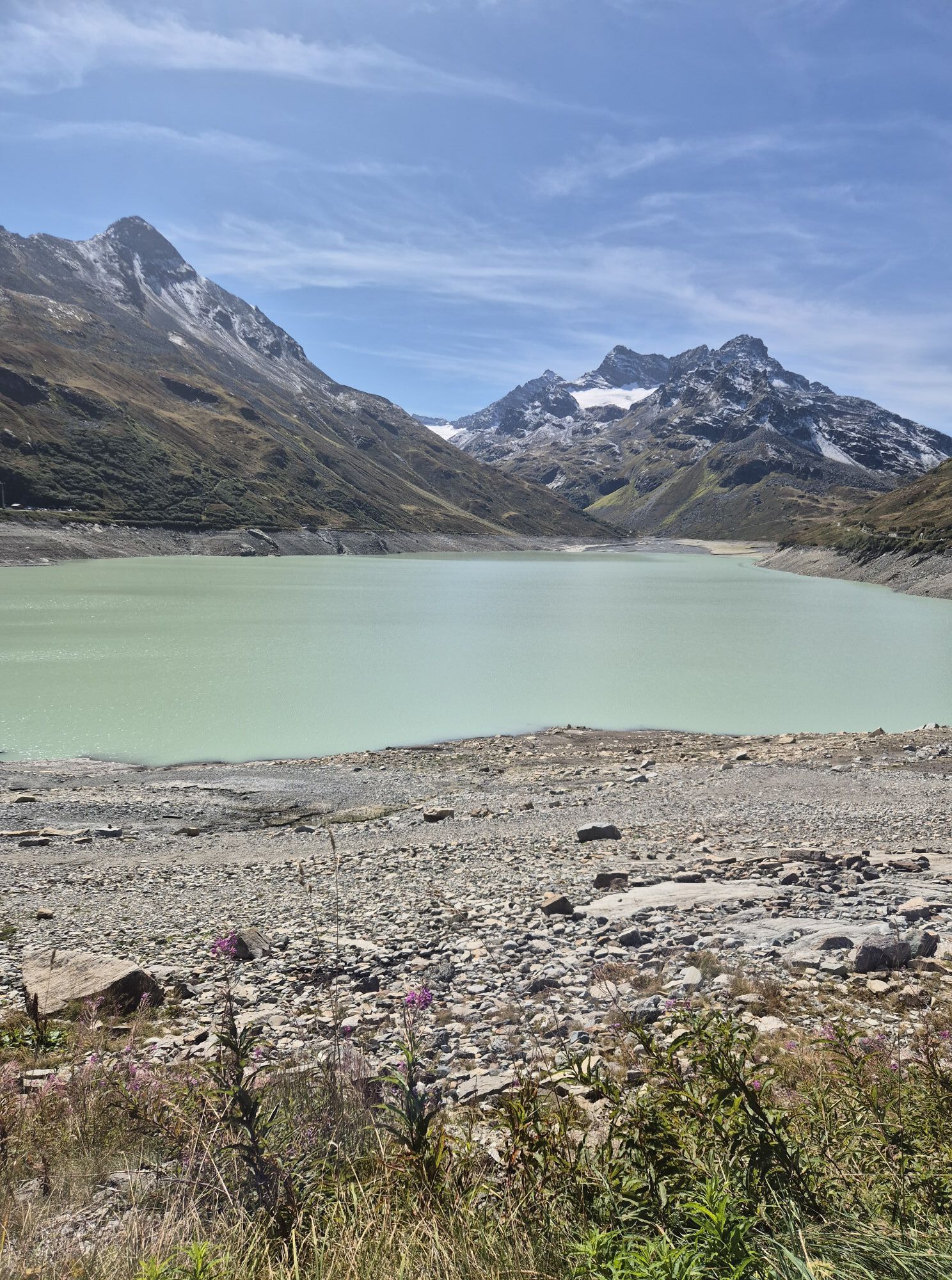
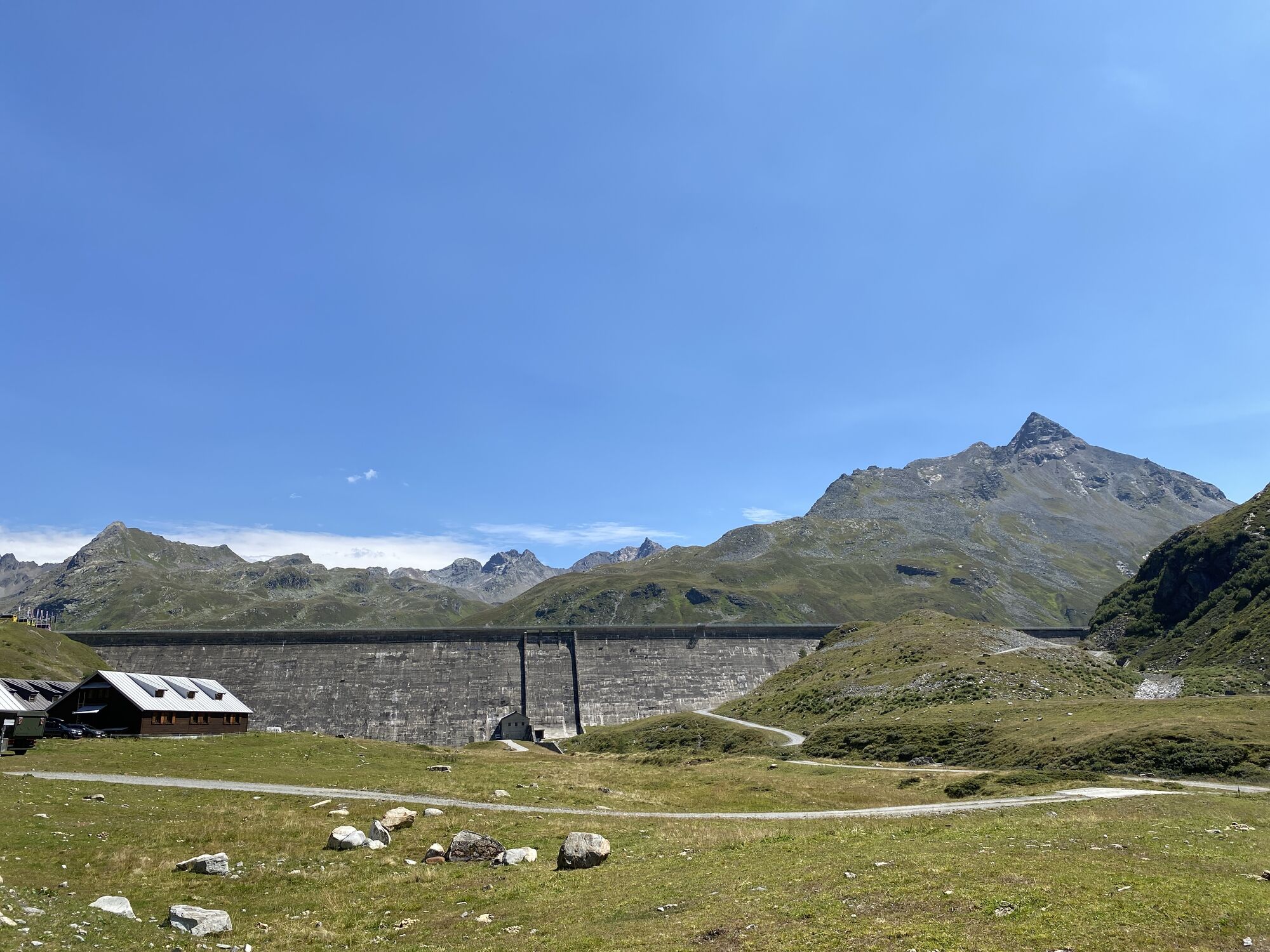
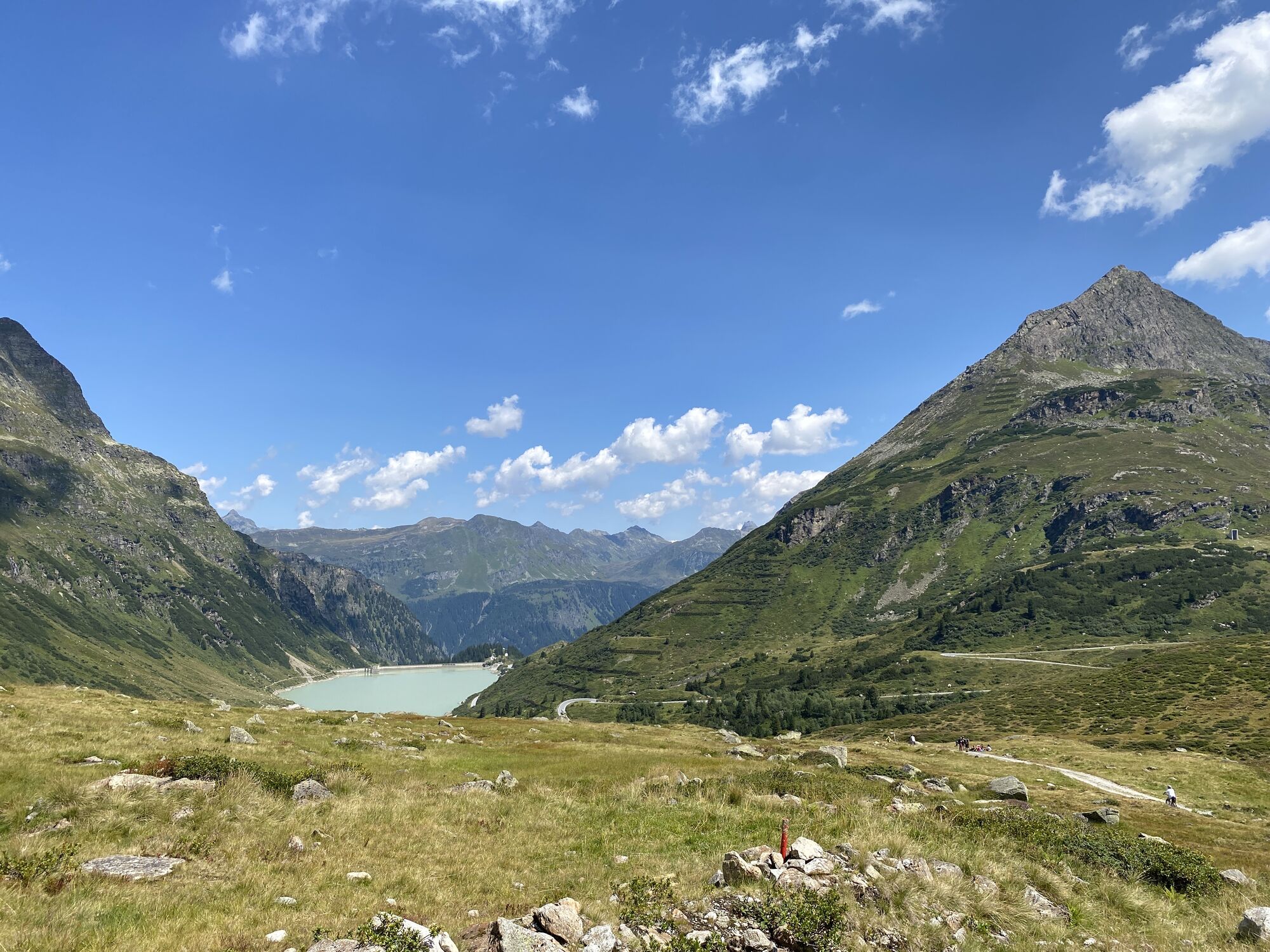
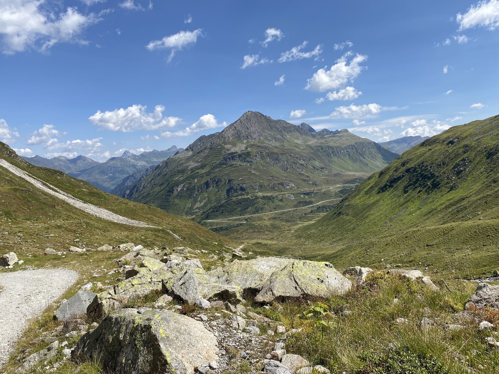
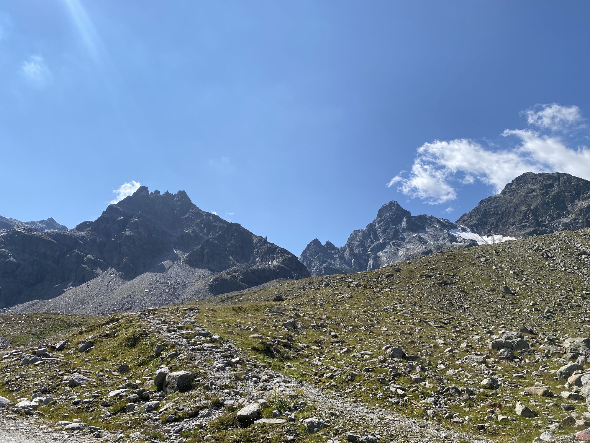
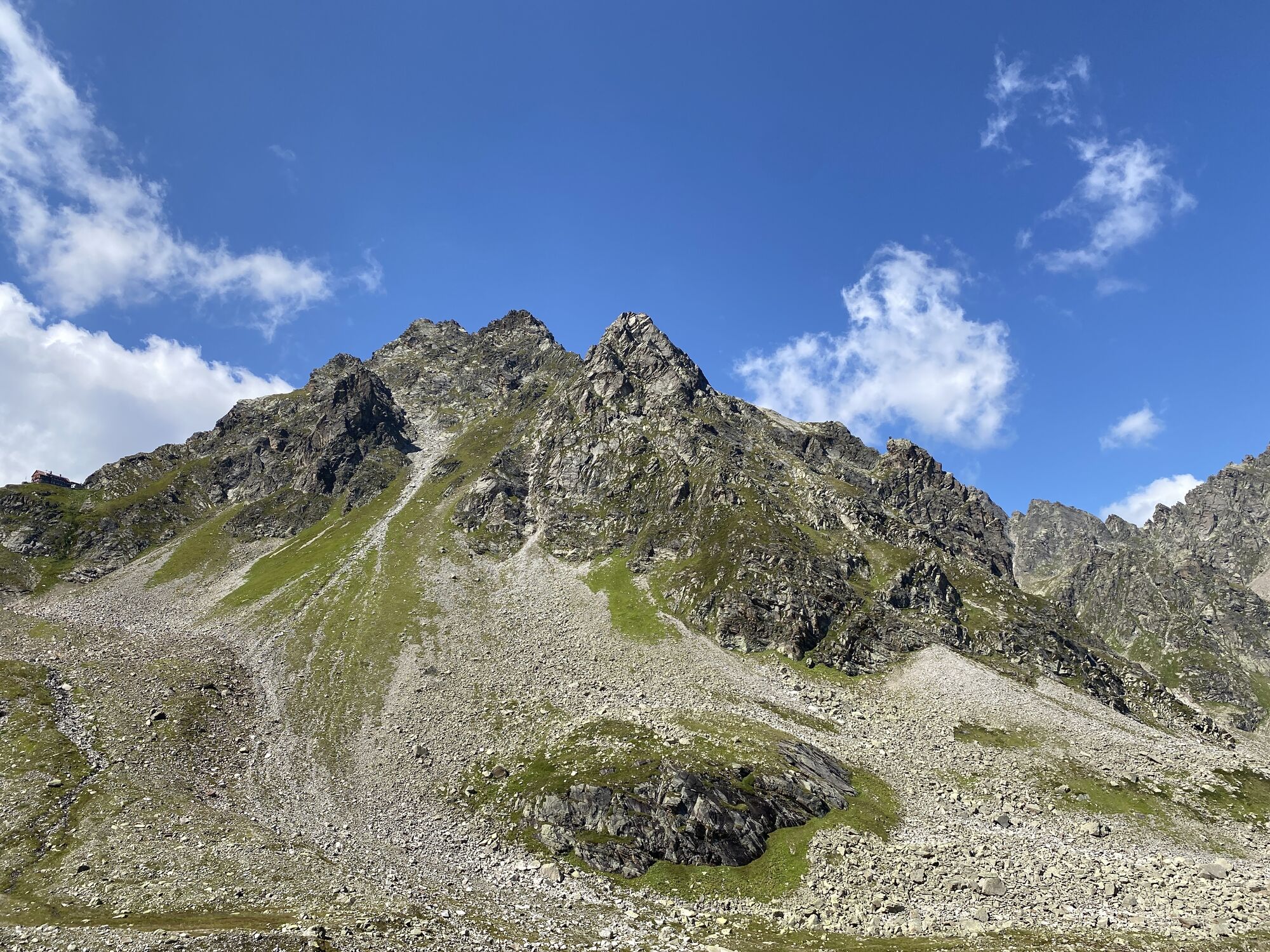
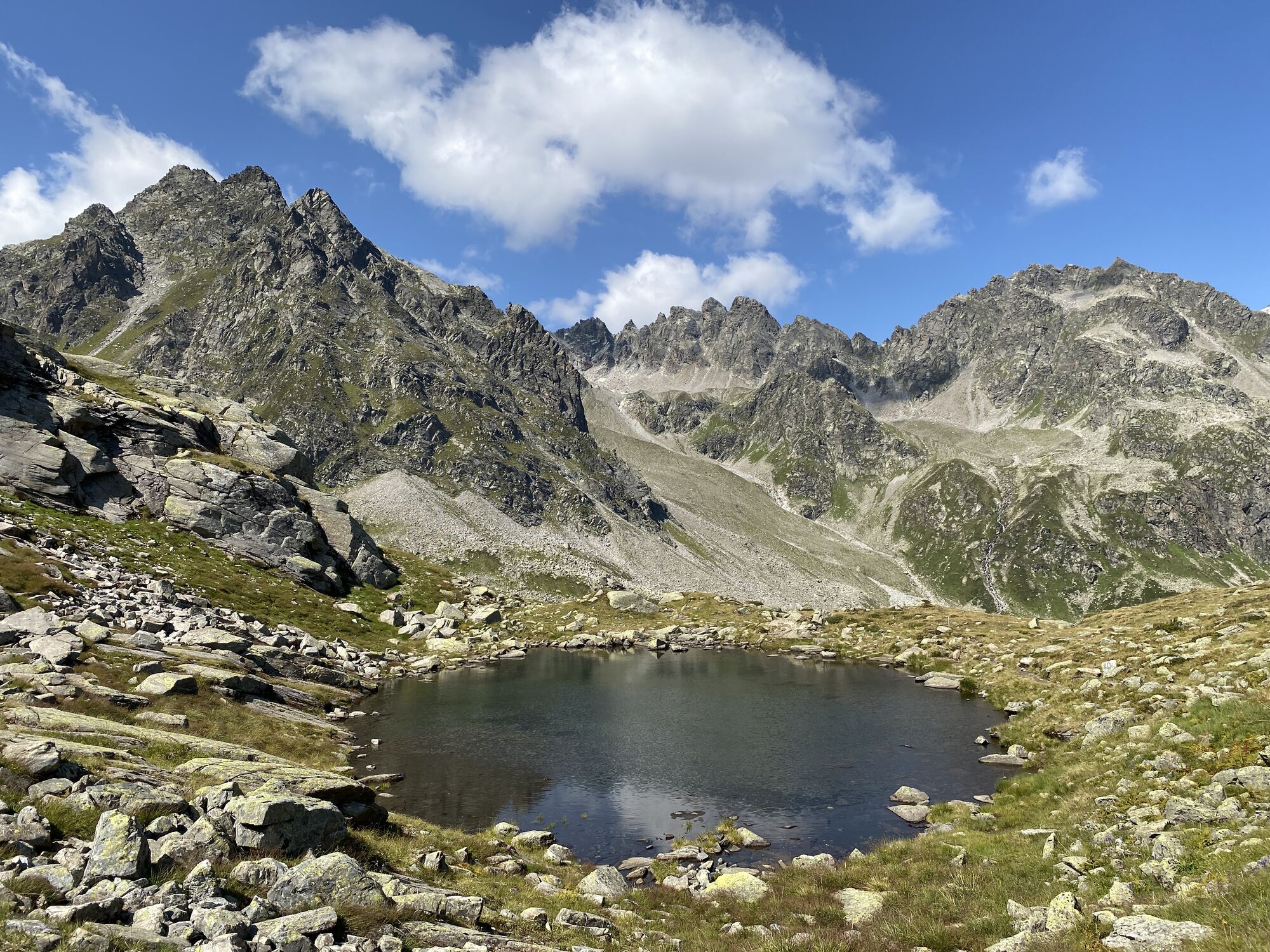
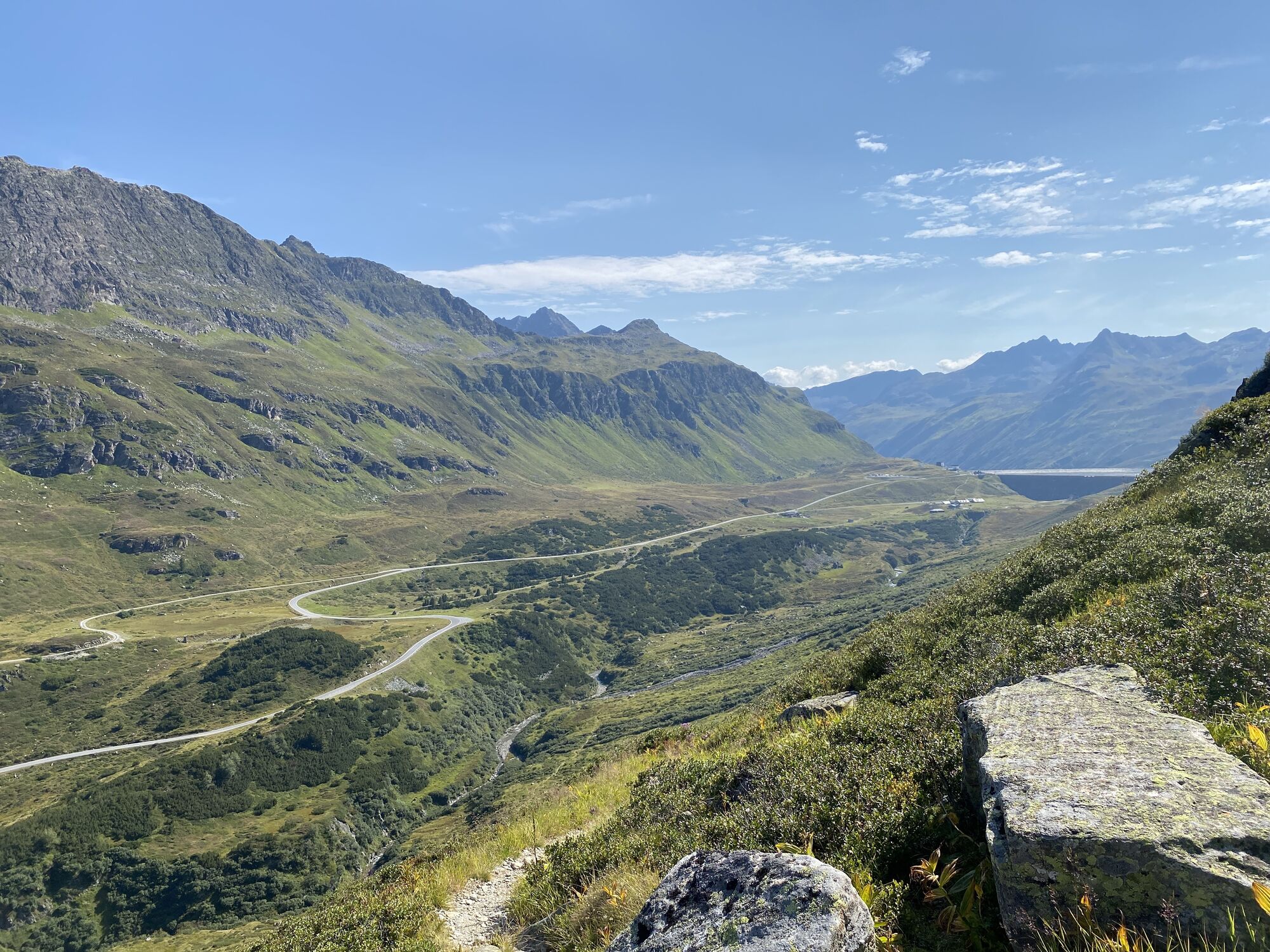
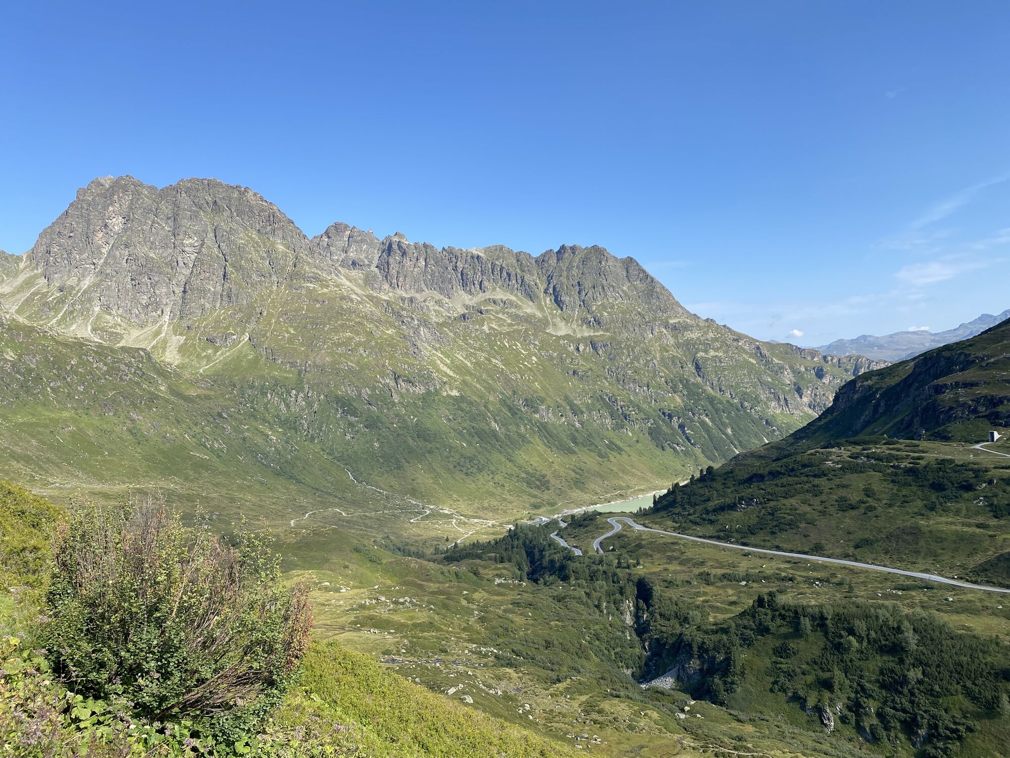
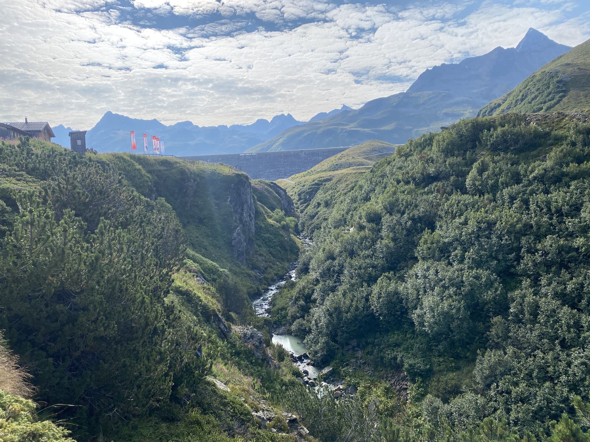
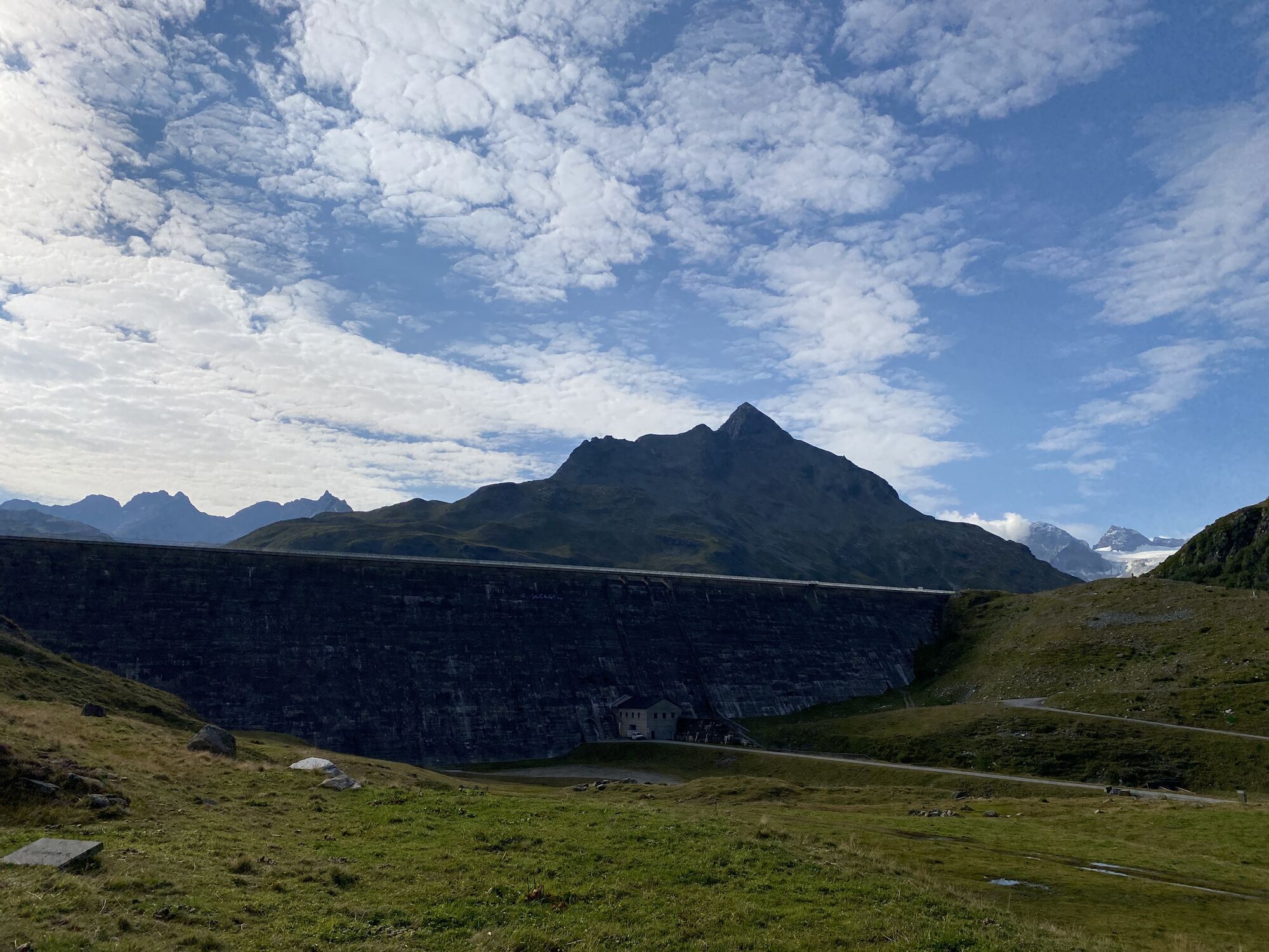
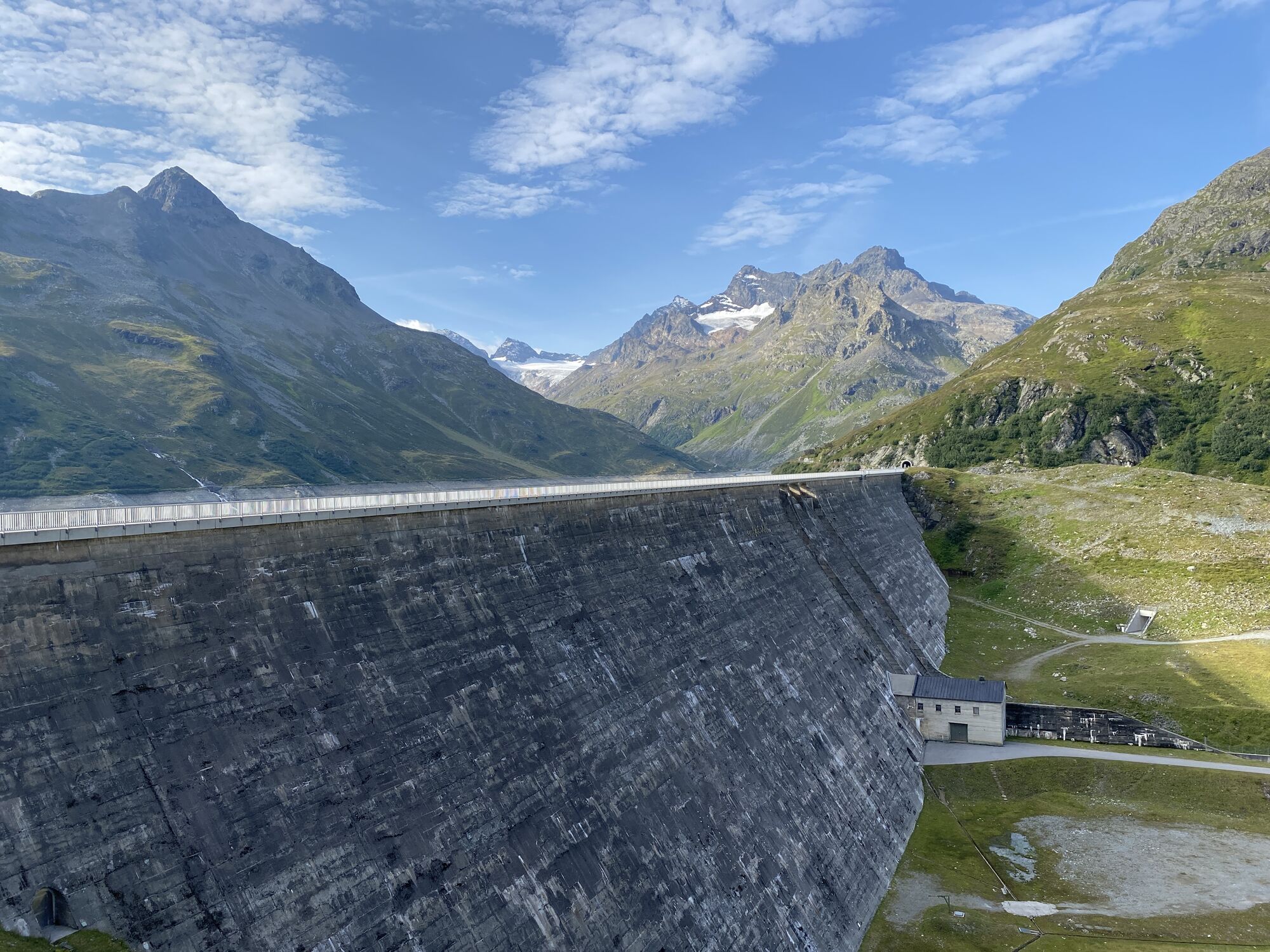
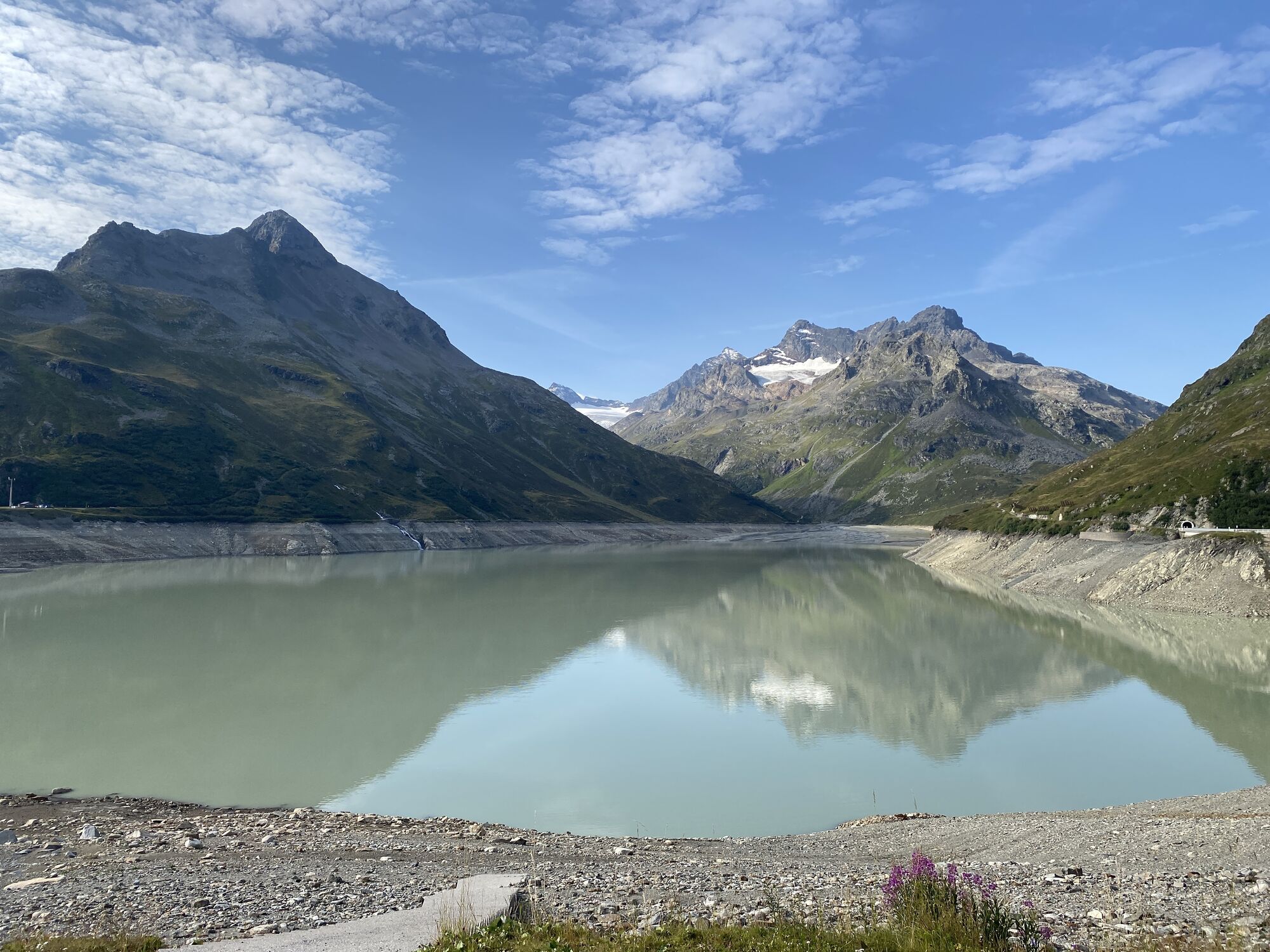
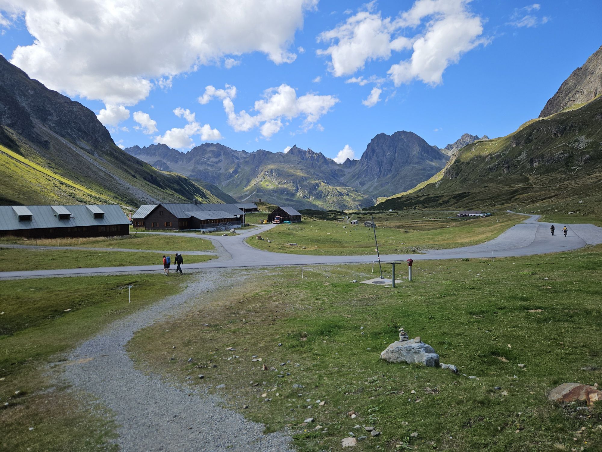
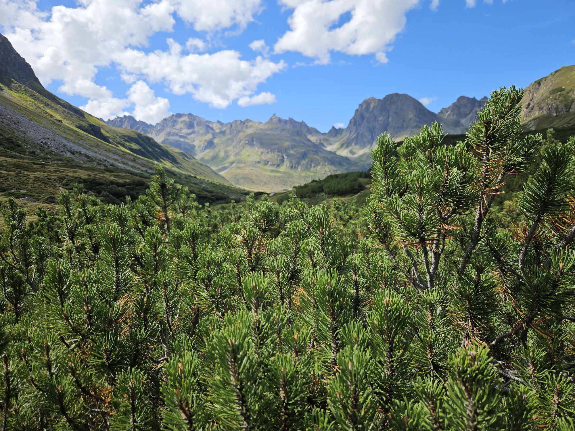
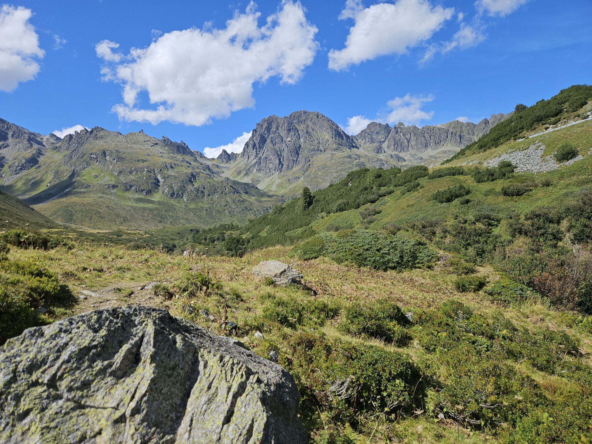
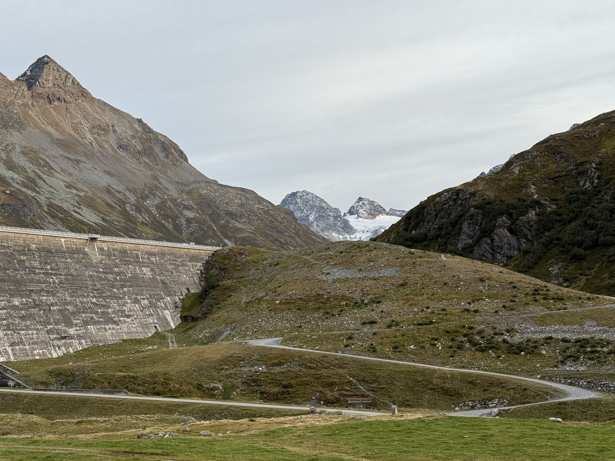
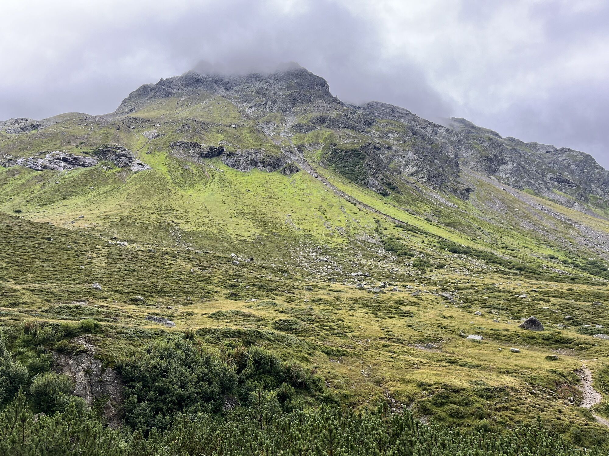

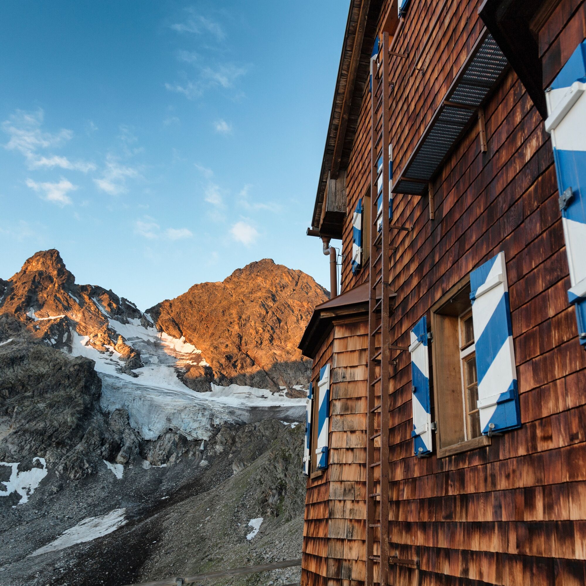
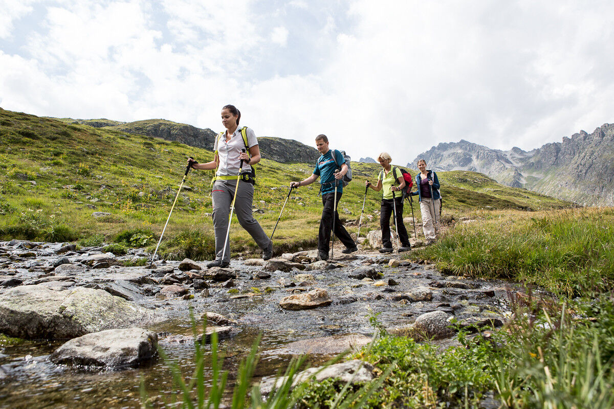
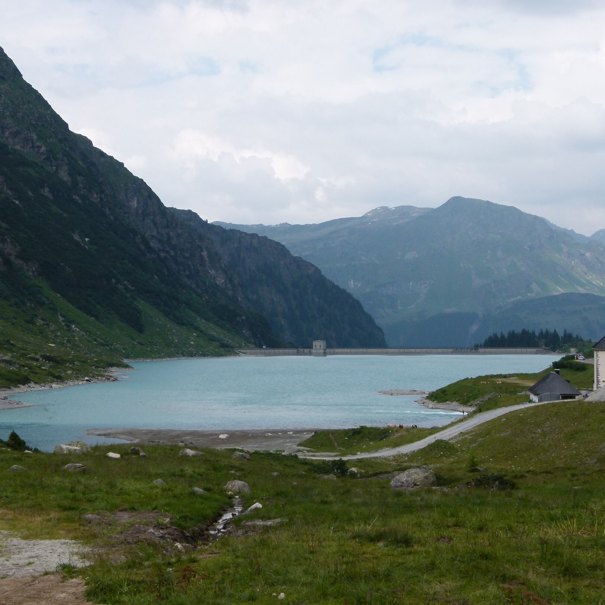
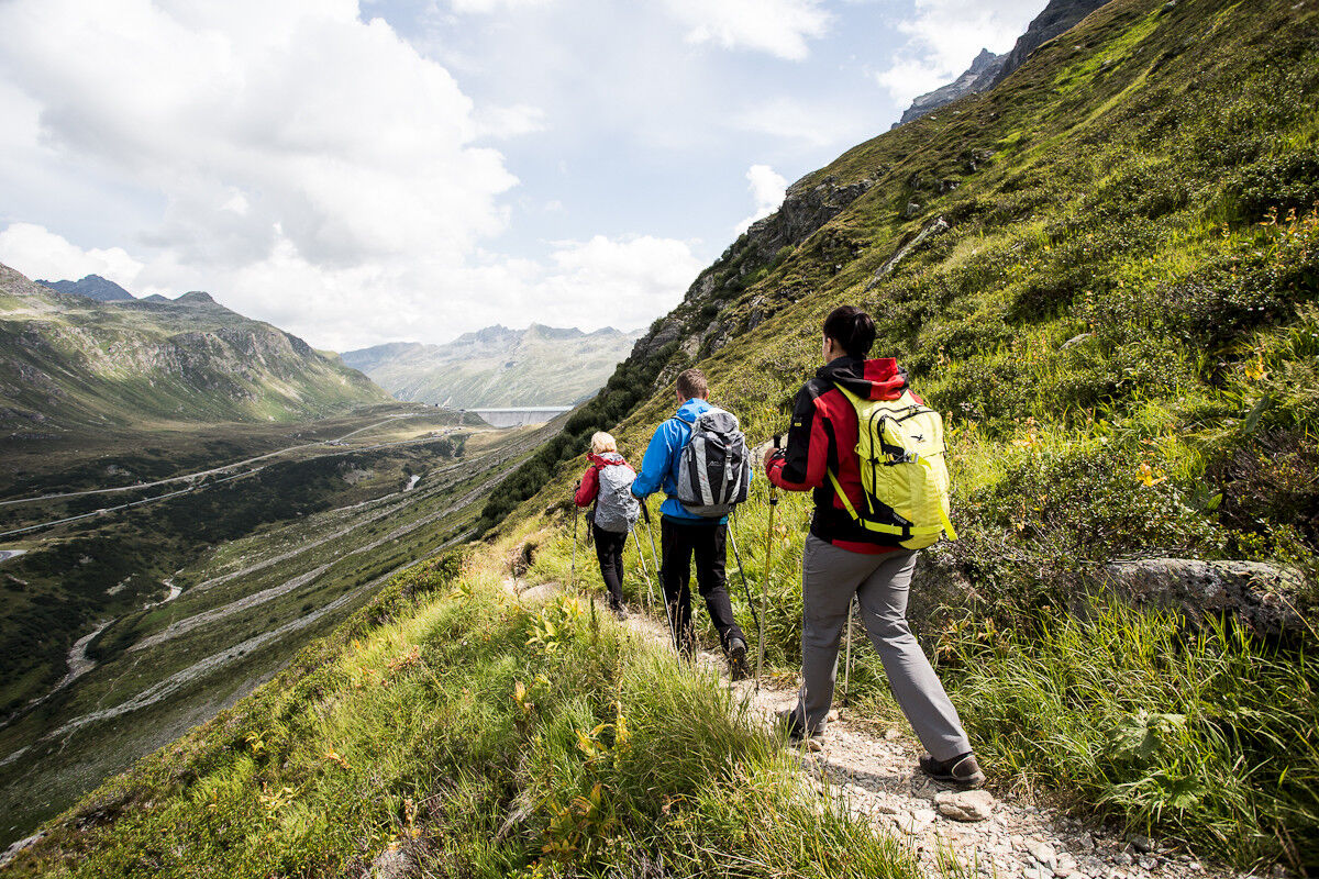
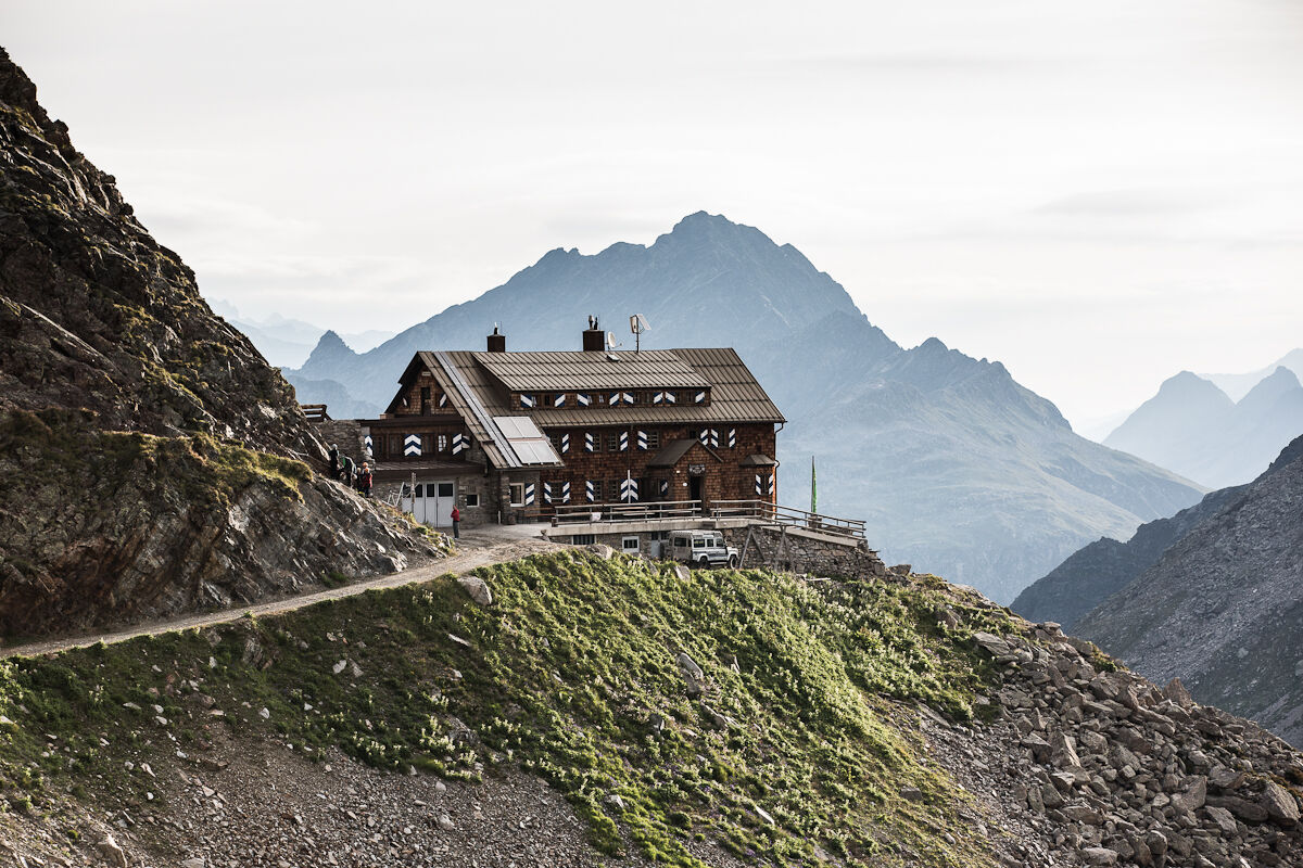
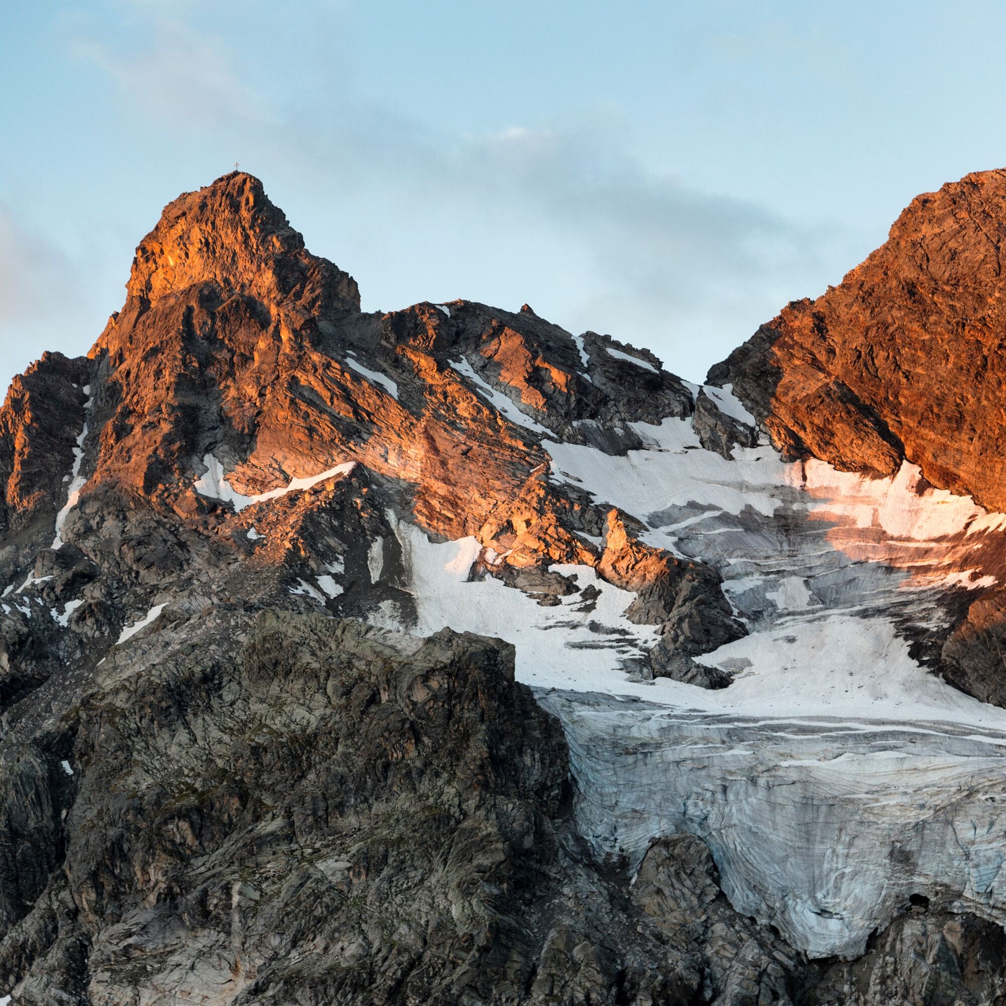
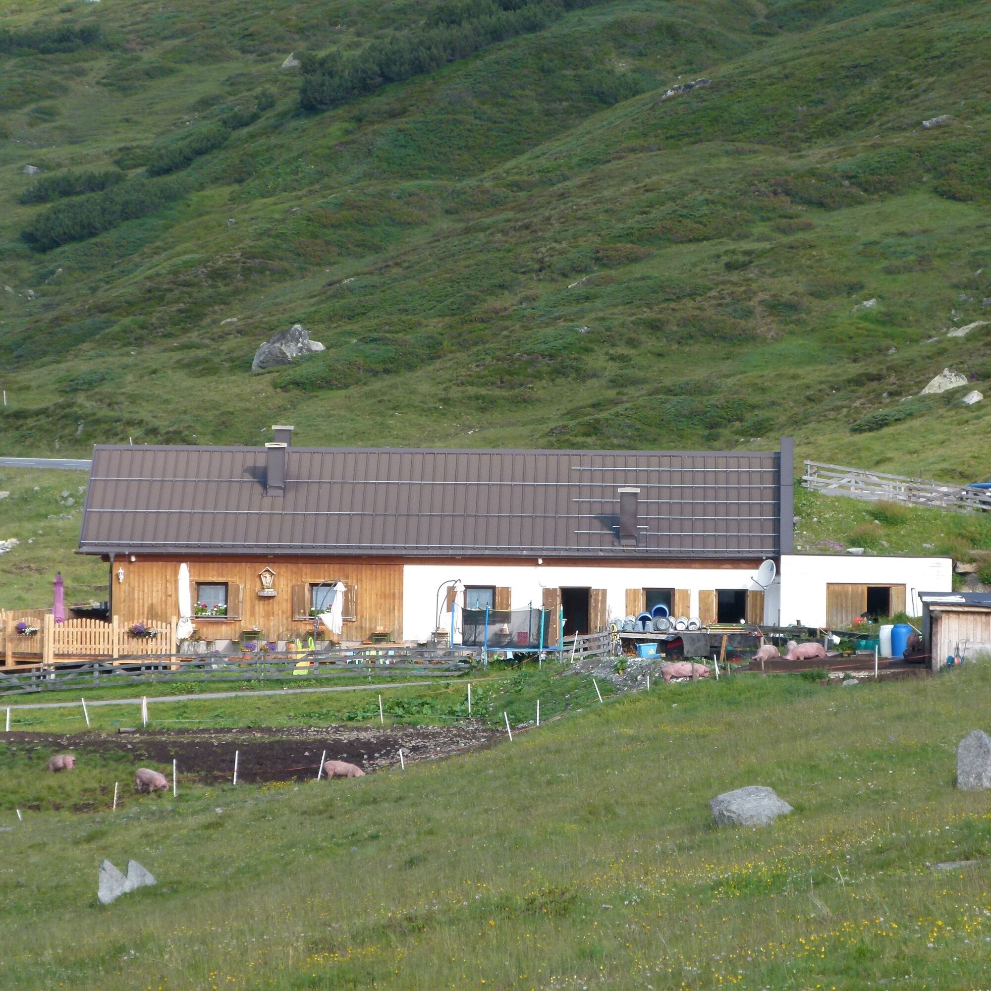
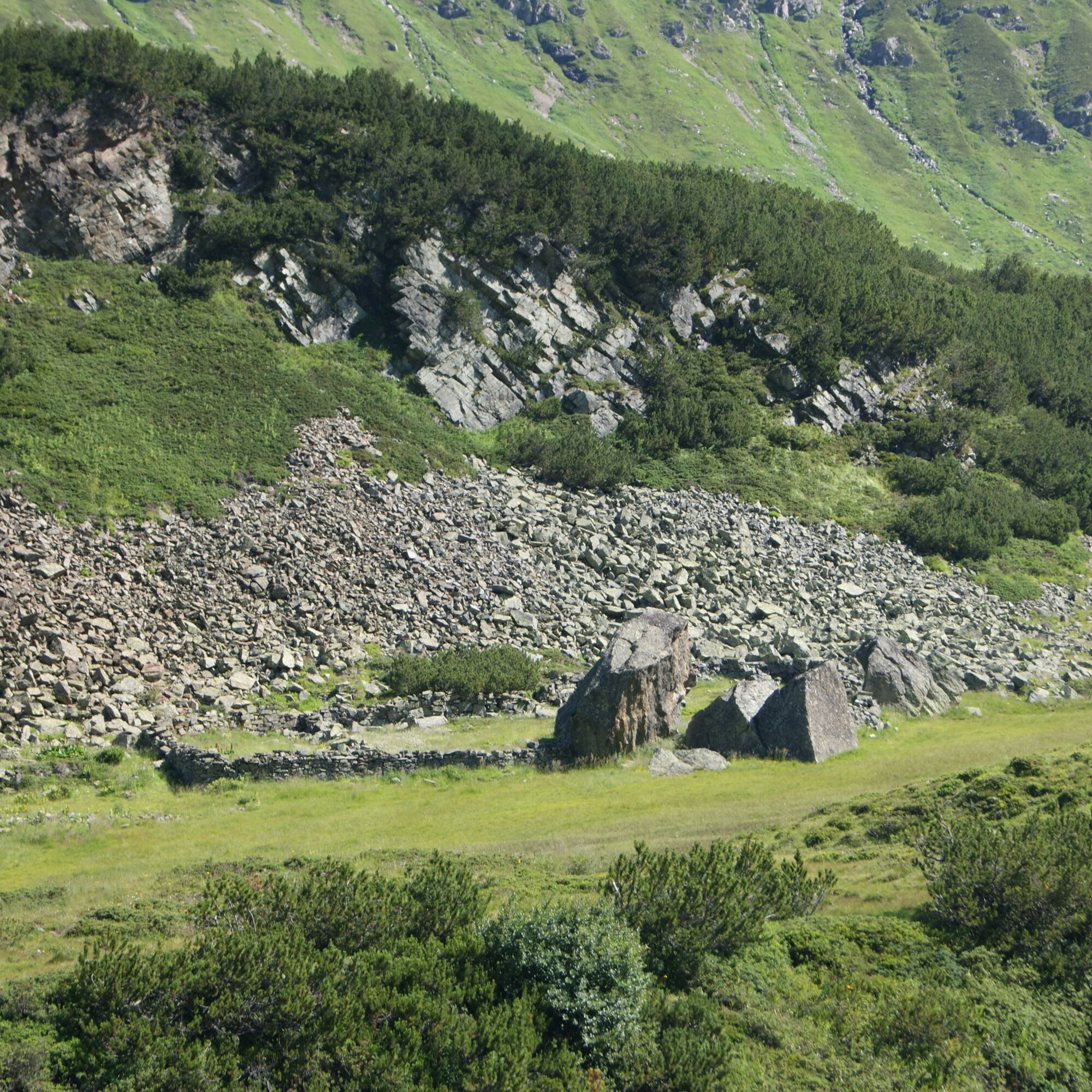
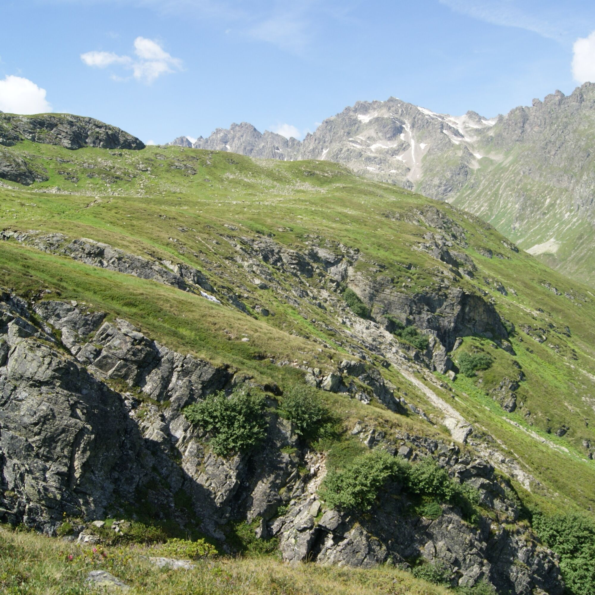
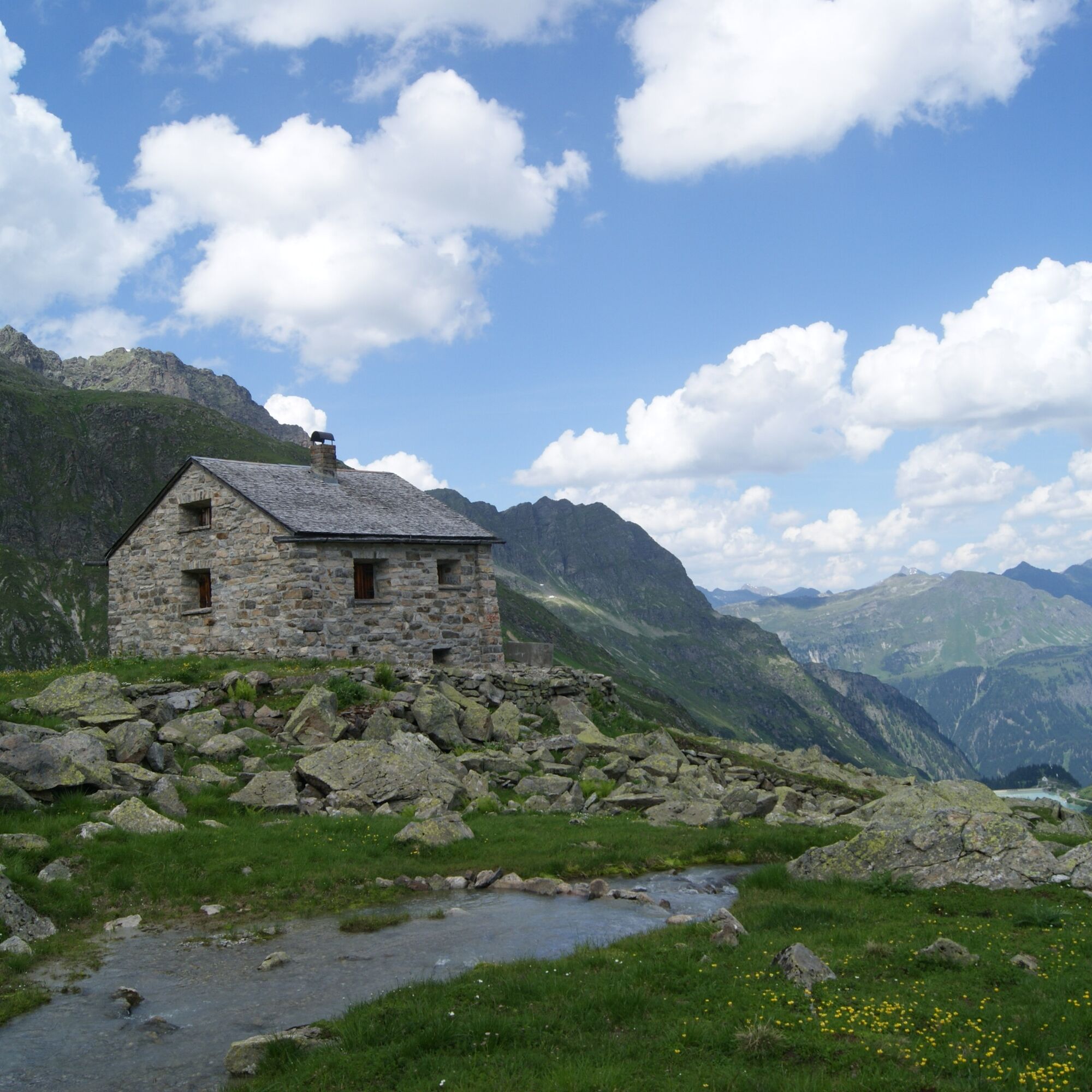
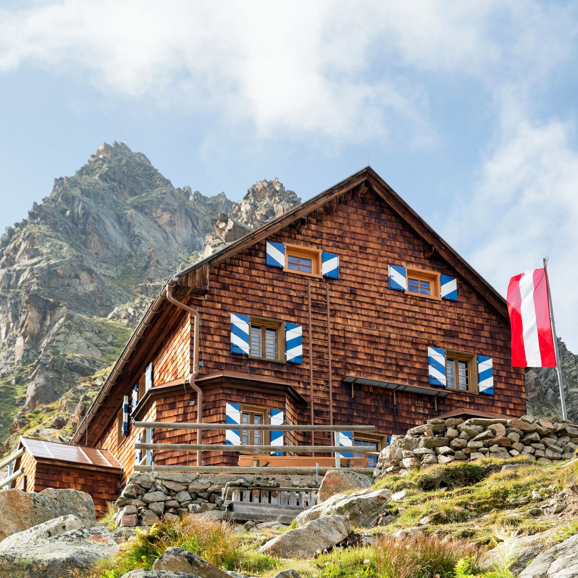
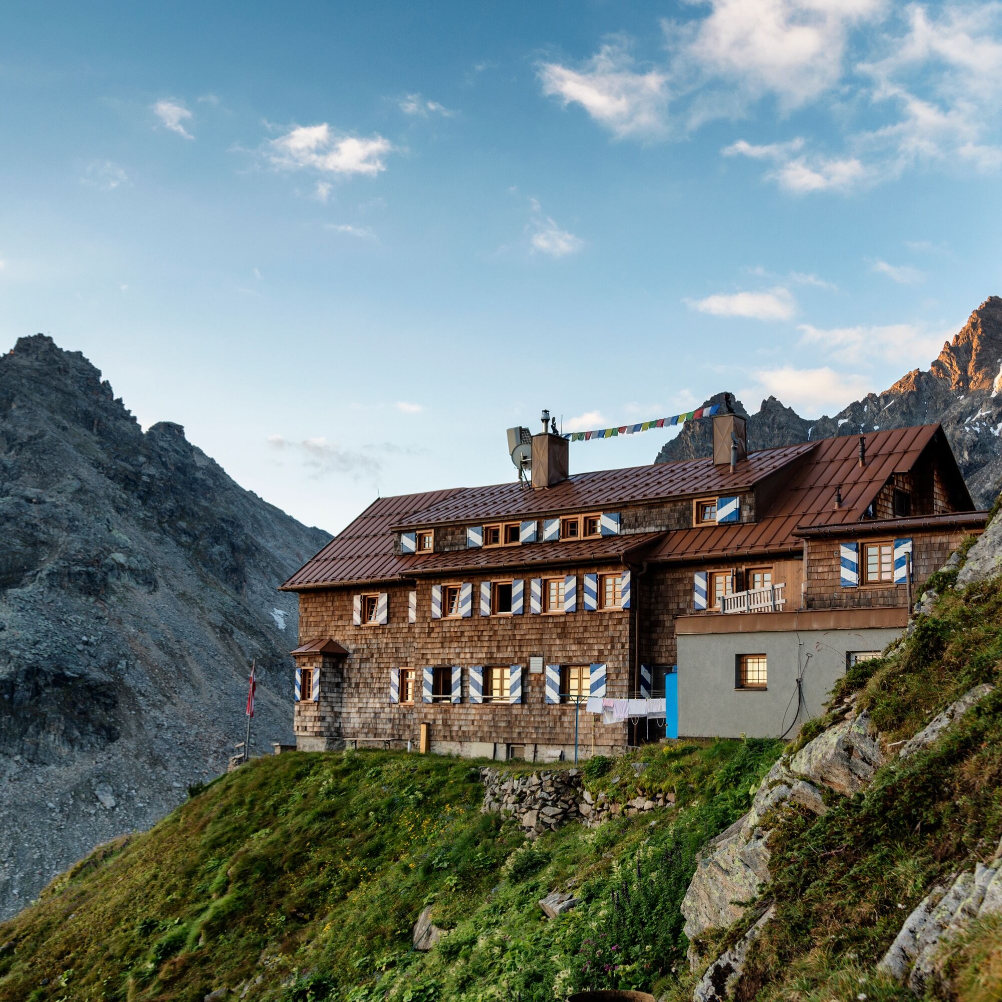
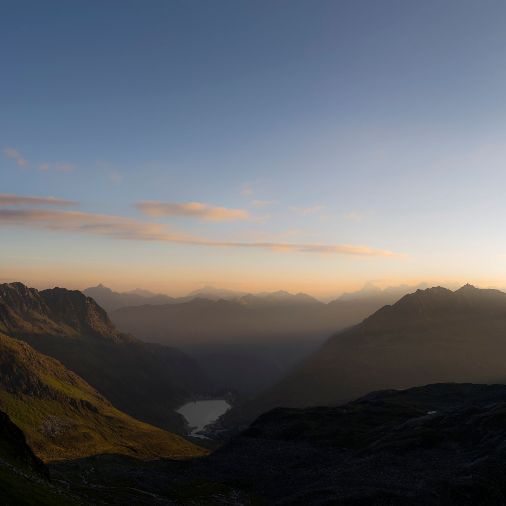

From Silvretta-Bielerhöhe the route initially leads downhill to Madlenerhaus. From here a short detour to Großvermuntalpe (Alpine products) can be made. Continue on the hiking trail about 500 m downhill along the Ill to the signpost Tschiffernella/Saarbrücker Hütte. From now on it goes uphill via Tschiffernella to the Saarbrücker Hütte. In the moraine landscape left by the glacier, several small lakes have formed. On this section of the route, the Hochmaderer is seen in the foreground and to the right towards the valley exit is Vermuntsee. From the Saarbrücker Hütte we first come towards Vermuntsee to the customs hut (slightly visible to the right of the path) and through Kromertal to our destination, Vermuntsee.
Ano
Good footwear required
EMERGENCY: 144
European emergency number: 112 (works with any mobile/ network)
www.vorarlberg.travel/sicherheitstipps
Take the A14 to the Bludenz/Montafon exit and then continue on Montafonerstraße L188 to Partenen to the toll station for the Silvretta High Alpine Road. Via the Silvretta High Alpine Road you then reach Vermuntsee and further on to Silvrettasee. (Toll applies)
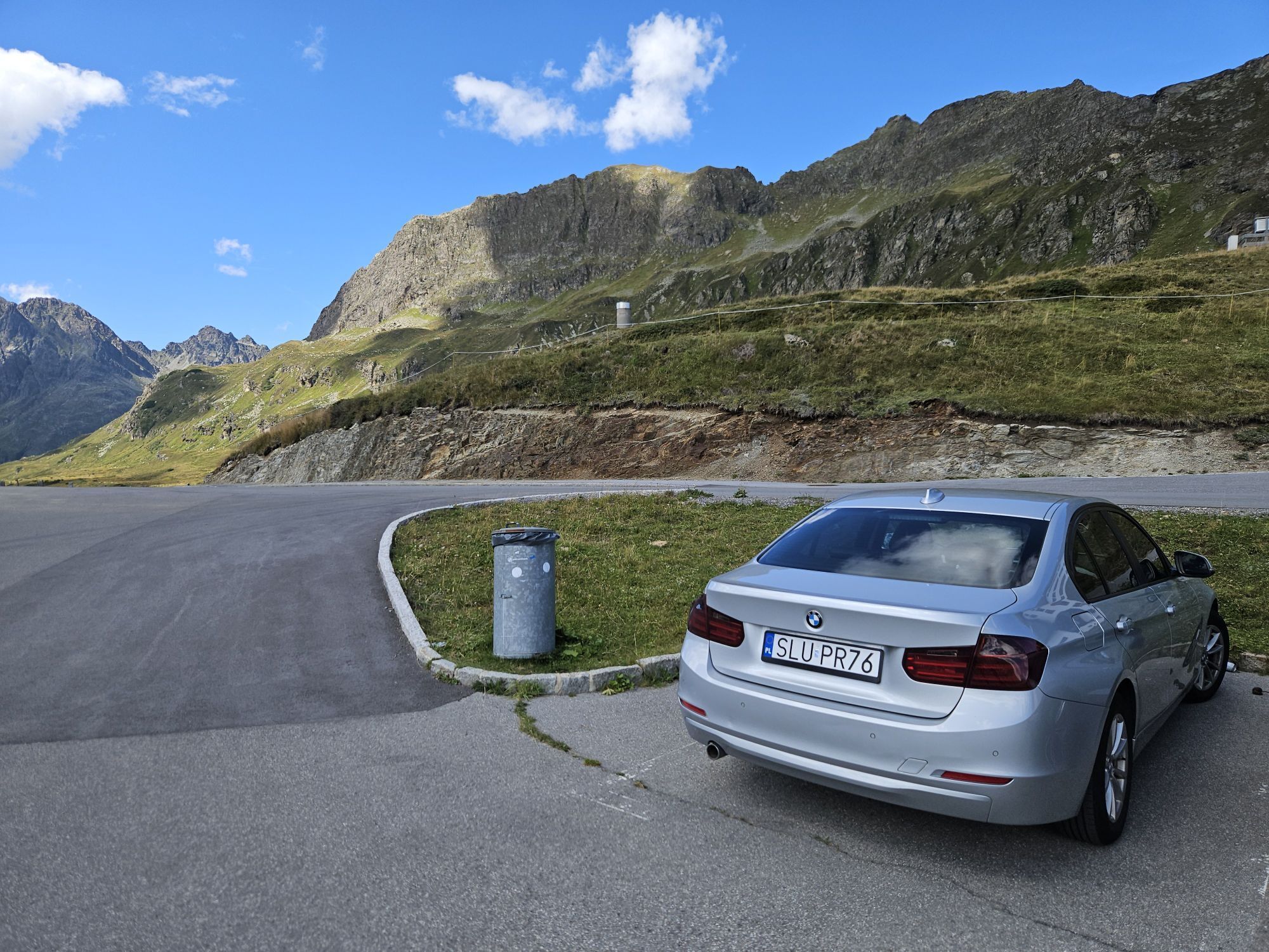
Tip: If you are travelling by your own car, park the car at Vermuntsee and take the bus (stop Vermunt Kraftwerk) to the starting point "Silvretta-Bielerhöhe".
Just leave your car parked
The regional buses operate throughout Montafon. The main lines run every half hour from Schruns station.
Bus stop at the start of the route: Bielerhöhe Silvrettasee / Line 650
Bus stop at the end of the route: Partenen Vermuntsee / Line 650
Timetable: www.vmobil.at
Travel by train to Montafon
From Bludenz station the Montafonerbahn runs hourly (partly every half hour). There are also direct connections from Lindau (D) or from Bregenz.
Timetable: www.oebb.at
Parking spaces are available at Silvrettasee or at Vermuntsee
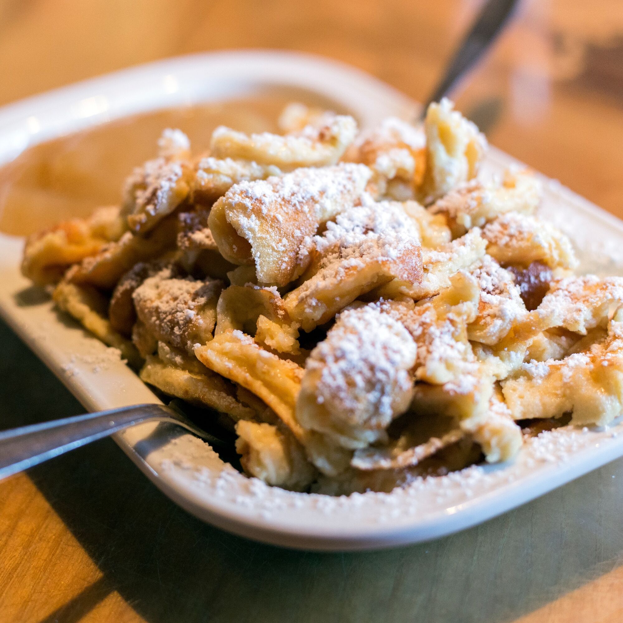
The Kaiserschmarrn at the Saarbrücker Hütte is highly recommended.

Oblíbené prohlídky v okolí
-
4.8
Hiking trail Piz Buin - view
středníTuristika 14.4 km -
4.7
Smuggler’s path
středníTematická stezka 8.60 km -
4.8
Madrisella via ferrata
heavyVia ferrata 8.52 km -
4.6
Madrisella summit path
středníTematická stezka 10.8 km -
4.8
Heilbronner lodge
středníTuristika 13.0 km -
4.8
Jöriseen
středníTuristika 11.3 km -
5.0
Wiegensee-Kopssee
středníTuristika 8.17 km -
5.0
Menta Alm - Scheibenalm
světloTuristika 11.4 km -
4.6
Vom Kopssee zur Breitspitze Gemeinde Gaschurn, Vorarlberg/Österreich
středníTuristika 12.5 km -
3.2
Bielerhöhe and circular hike around the Silvretta reservoir
středníTuristika 13.1 km
Pěší turistika a stopování


Nenechte si ujít nabídky a inspiraci pro vaši příští dovolenou
Vaše e-mailová adresa byl přidán do poštovního seznamu.





