


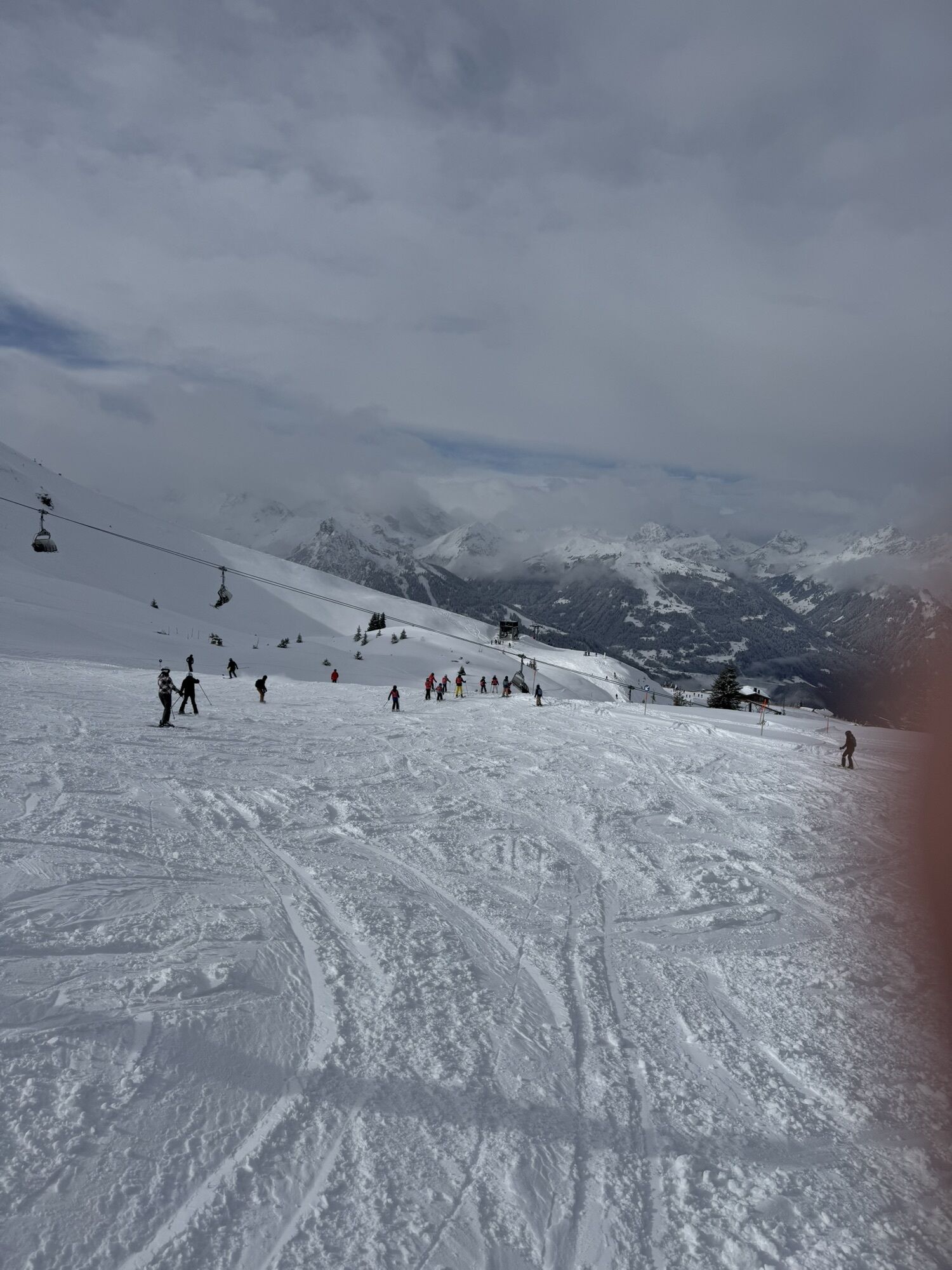
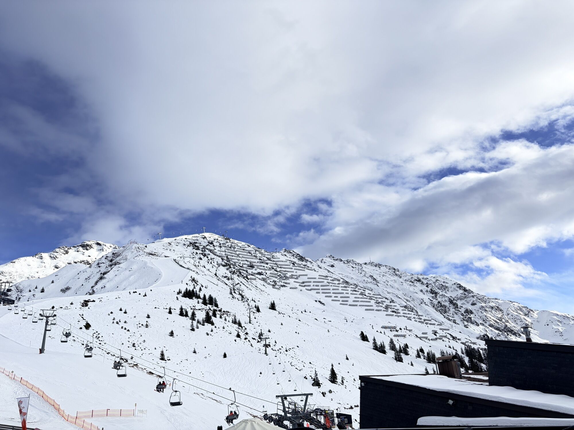
Alpine hike Innerkapell via viewpoint "Surblies"
From the gentle Seebligasee up to the viewpoint "Surblies" and then treat yourself to regional delicacies at Innerkapellalpe – the impressive views of the Montafon offer unforgettable hiking experiences....
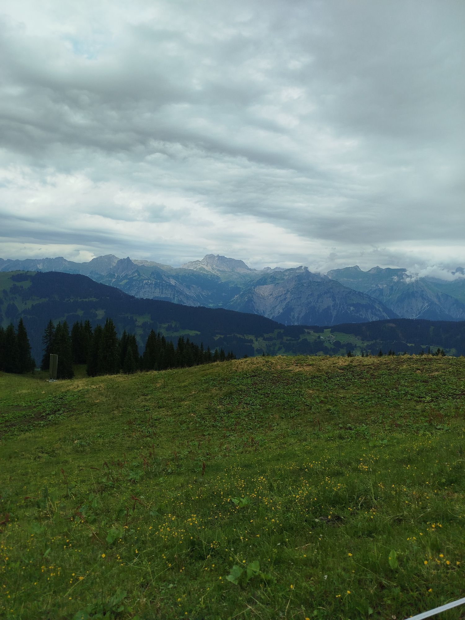
From the gentle Seebligasee up to the viewpoint "Surblies" and then treat yourself to regional delicacies at Innerkapellalpe – the impressive views of the Montafon offer unforgettable hiking experiences. This hike is the perfect retreat for anyone seeking relaxation.

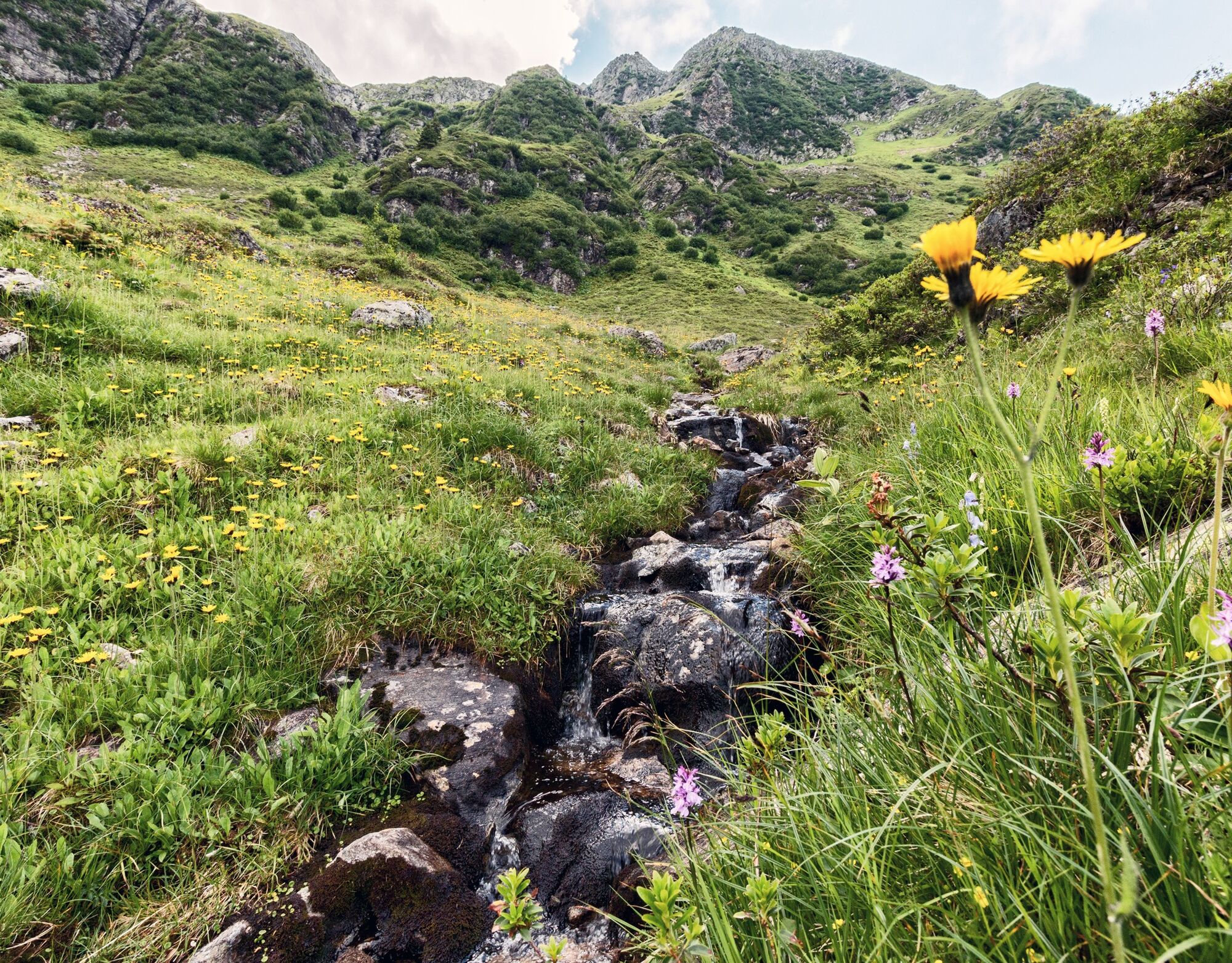
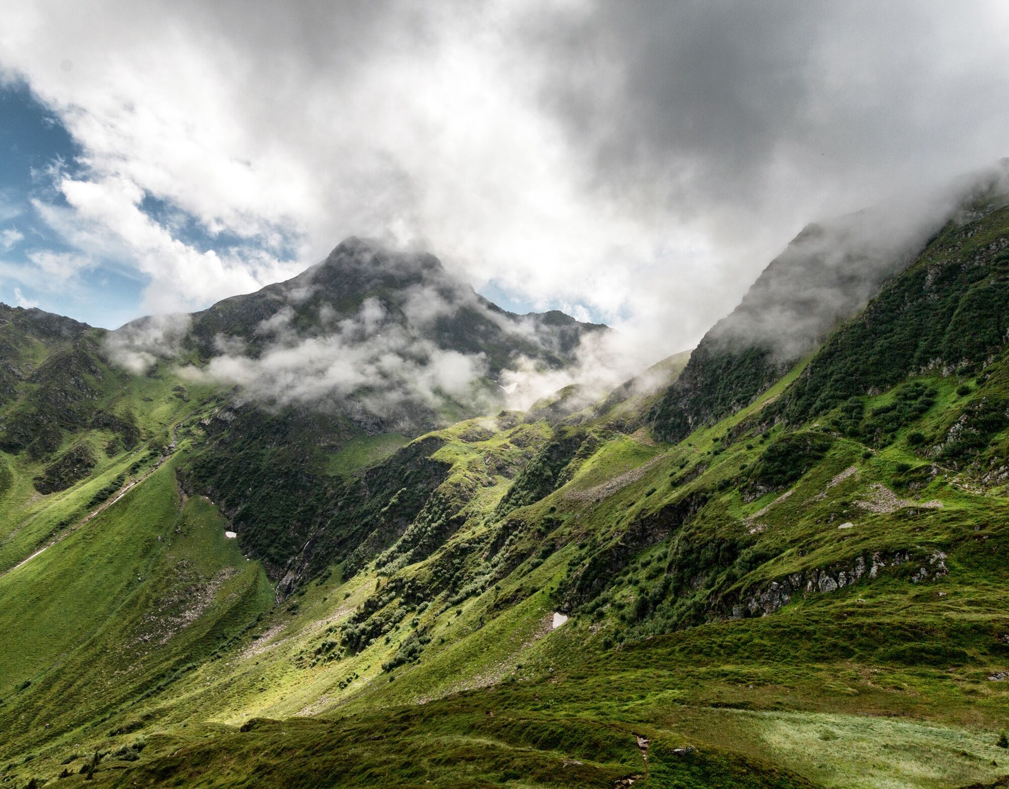
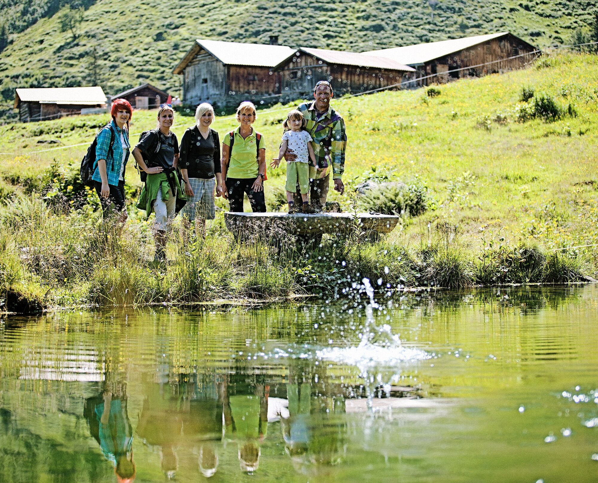
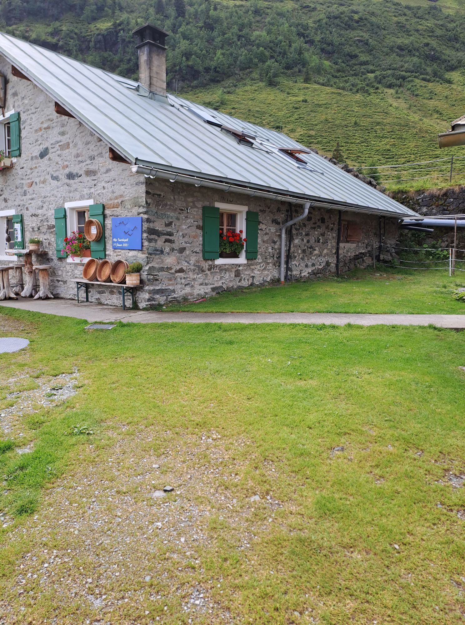
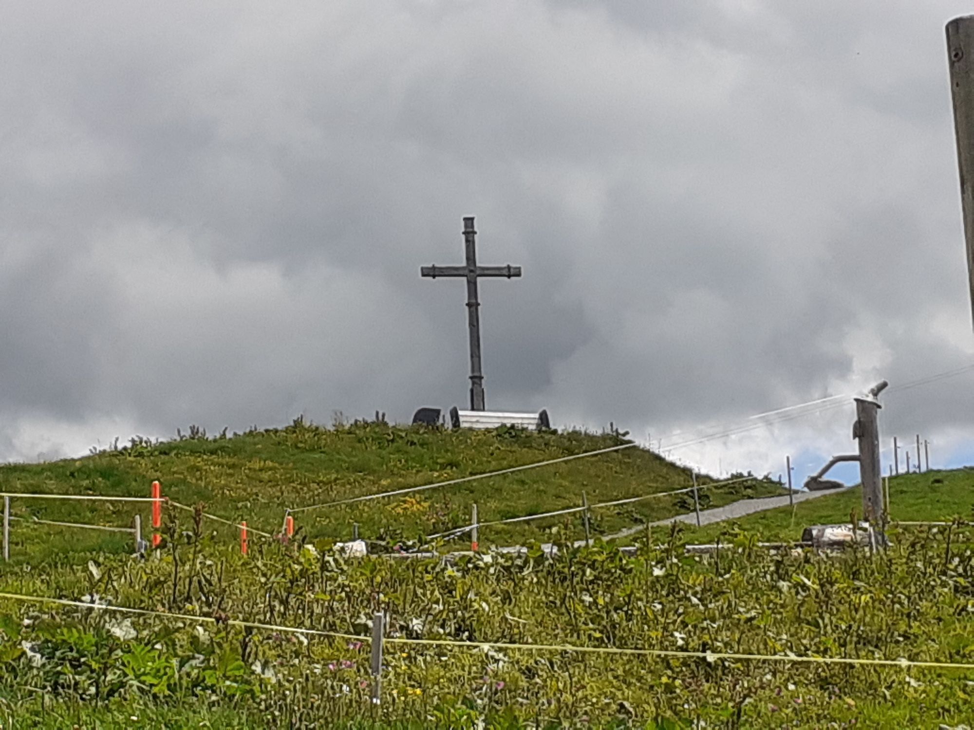
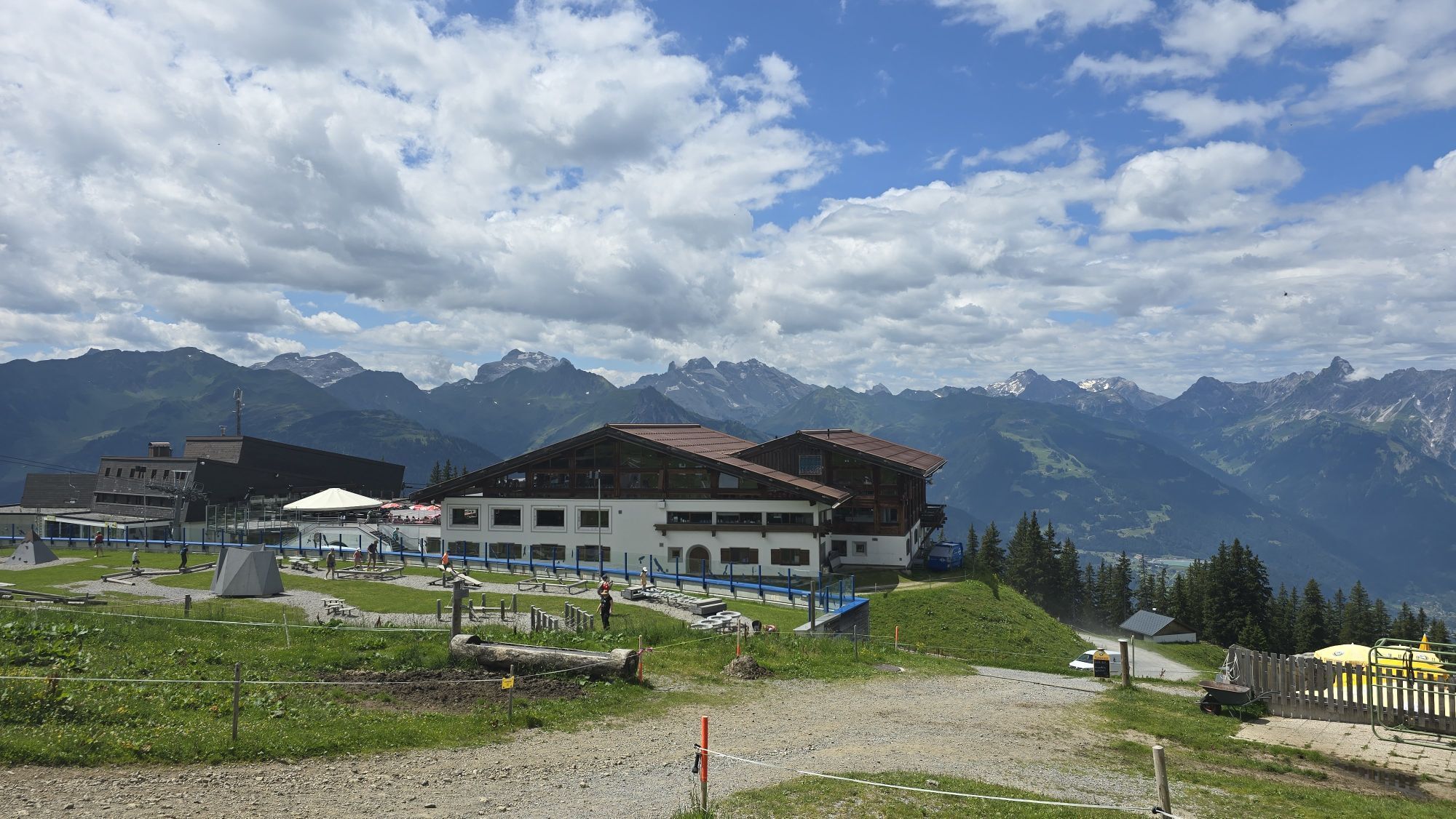
From the Kapell mountain station, walk towards Seebligasee. Shortly after the Seebligasee reservoir lake, you reach the highest point of the hike, the viewpoint "Surblies." From here, the path leads down over alpine meadows to the managed Innerkapellalpe. The return path leads back on the wide gravel road to the starting point Kapell mountain station.
Ano
Day hiking backpack (approx. 20 liters) with rain cover, sturdy and comfortable footwear, weather-appropriate and durable clothing in layers, possibly telescopic poles, sun and rain protection, provisions and drinking water, first aid kit, pocket knife, mobile phone, possibly headlamp, map material
EMERGENCY CALL:
140 Alpine emergencies Austria-wide
144 Alpine emergencies Vorarlberg
112 European emergency number (works with any mobile/ network)
www.vorarlberg.travel/sicherheitstipps
Drive on the A14 to the Bludenz/Montafon exit and continue on Montafonerstraße L188 to Schruns.
Just leave your car behind
Country buses operate throughout Montafon. The main lines run every half hour from Schruns station.
Bus stop at the start/finish of the route: Schruns Hochjoch Bahn/ lines 602, 603, 650, 670
(also possible: Schruns Zamang Bahn/ lines 602, 603, 650, 670)
Timetable: www.vmobil.at
Arrival by train to Montafon
From Bludenz station, the Montafonbahn runs hourly (partly half-hourly). There are also direct connections from Lindau (Germany) or from Bregenz.
Timetable: www.oebb.at
Hochjoch Bahn car park (paid)
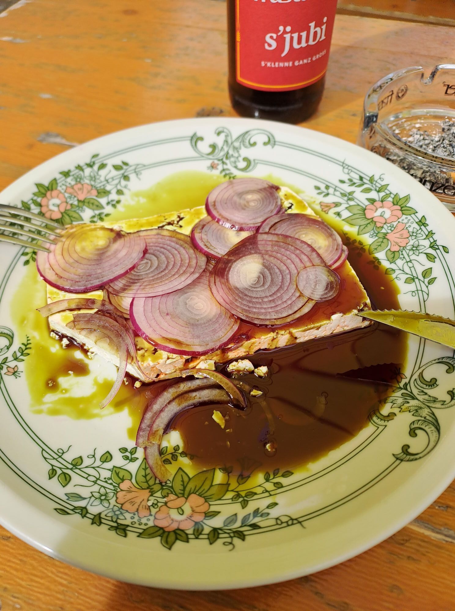
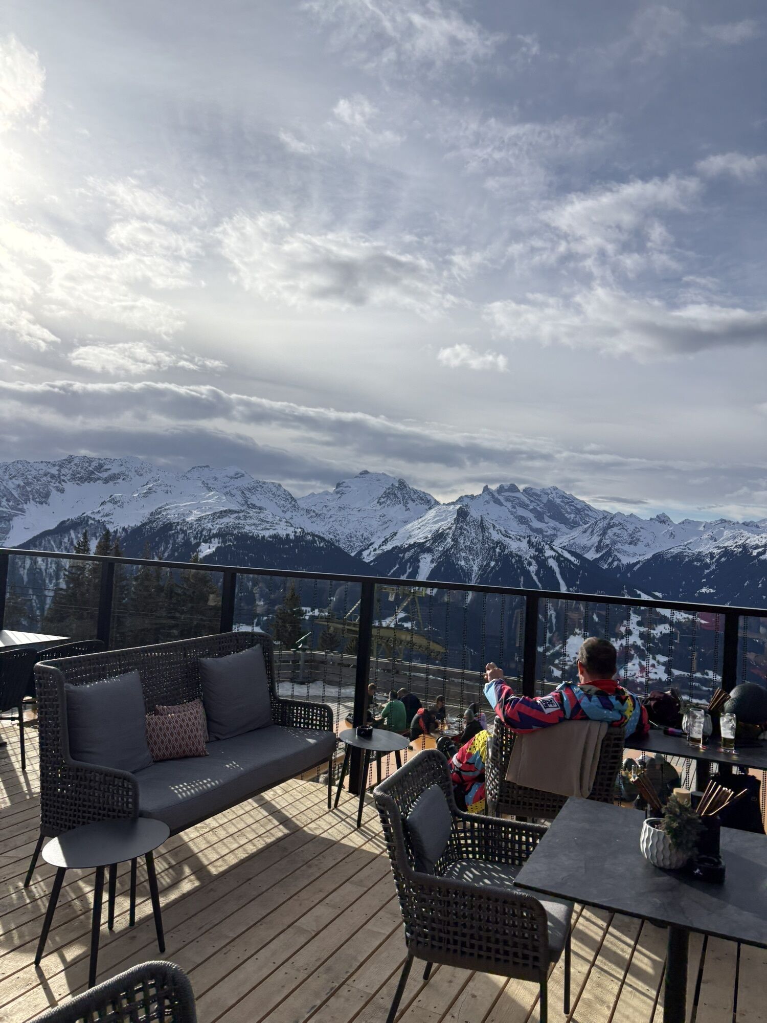
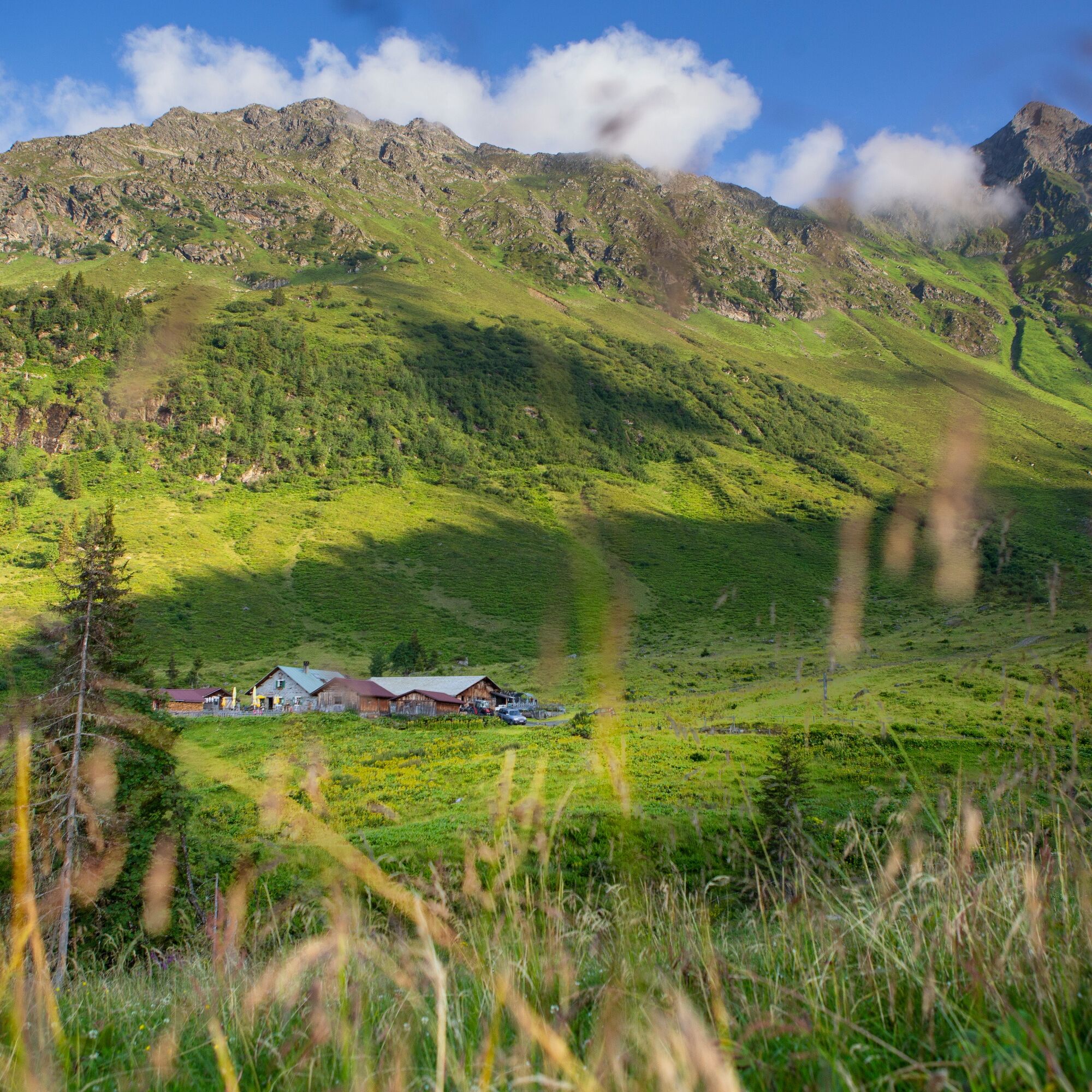
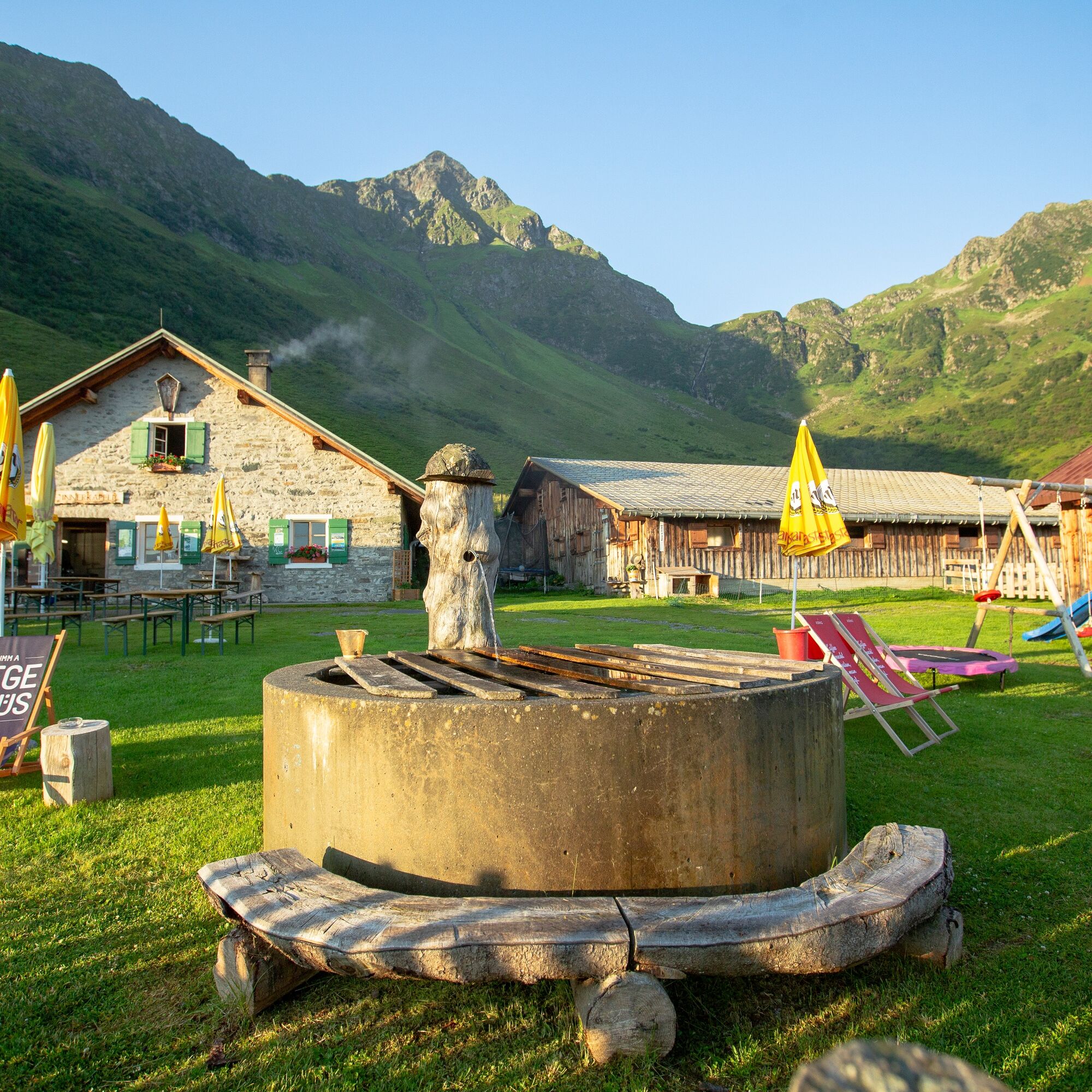
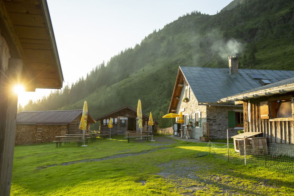
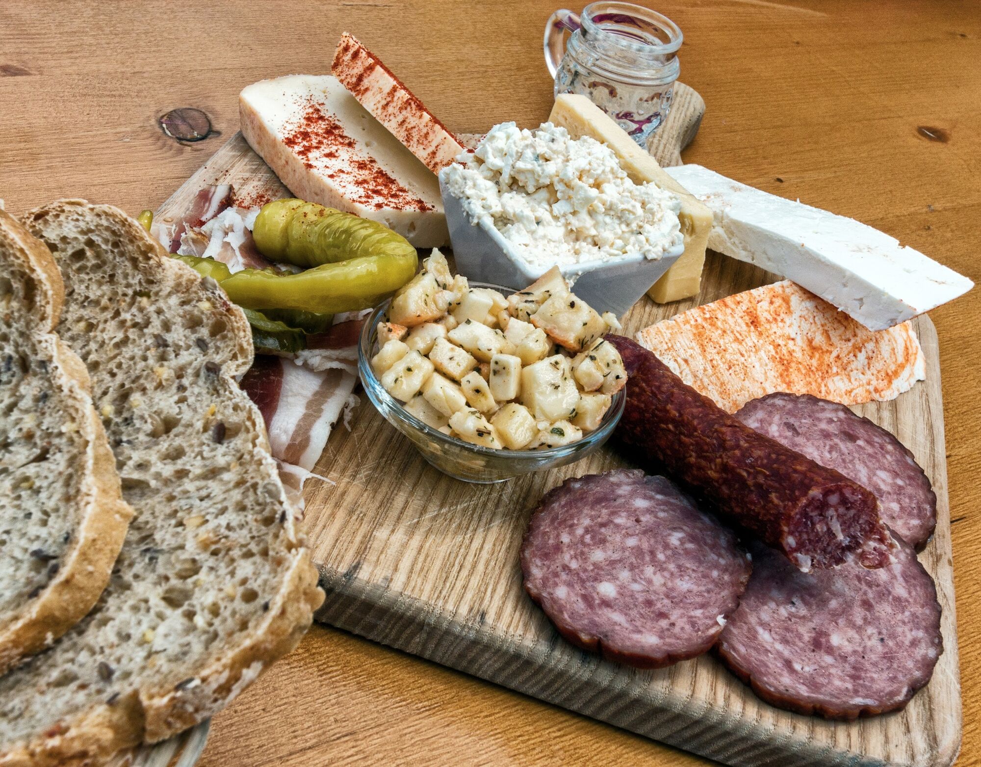
When you are at Innerkapellalpe, you should definitely try the fresh "Sura Kees" – a healthy energy booster that replenishes your energy stores after every hike.
Webové kamery z prohlídky
-
Hochjoch Bahn Bergstation
-
Montafoner Kristbergbahn Bergstation
-
Panoramagasthof Kristberg
-
Panoramagasthof Kristberg
-
Kristberglift mit St. Agatha Kirche
-
Kinderland Skischule Silbertal
-
Bergstation Hochalpila Bahn
-
Silbertal Dorf
-
Innerberg
-
Silvretta-Montafon - Panorama Bahn
-
Bartholomäberg
-
Tschagguns
-
Schruns
-
Bartholomäberg - Ferienhotel Fernblick
-
Bartholomäberg - Ferienhotel Fernblick
-
Bartholomäberg - Ferienhotel Fernblick
-
Bartholomäberg - Ferienhotel Fernblick
Oblíbené prohlídky v okolí
-
5.0
Ski tour to the Lindauer Hut (1,744 m)
světloLyžařská trasa 14.0 km -
4.4
Golm-Rundwanderweg im Rätikon
středníTematická stezka 7.28 km -
4.3
Golmerbahn Bergstaion Grüneck - Golmer Höhenweg - Geißspitze - Lindauer Hütte - Latschau
středníTuristika 11.5 km -
4.7
Over the historic mine and Fritzensee to Rellseck
středníTuristika 7.25 km -
4.8
Heilbronner lodge
středníTuristika 13.0 km -
4.4
Madrisella summit path
středníTematická stezka 10.8 km -
4.6
Kristberg - Wasserstubental - Silbertal
světloTuristika 13.8 km -
4.9
Alpgues Runde
středníTuristika 9.21 km -
3.0
Bergstation Grüneck Golmerbahn - Alpe Latschätz - Lindauer Hütte - Latschau
světloTuristika 11.1 km -
4.0
Stuben - Stubner See - Kaltenberghütte - Stuben
středníTuristika 9.90 km
Pěší turistika a stopování


Nenechte si ujít nabídky a inspiraci pro vaši příští dovolenou
Vaše e-mailová adresa byl přidán do poštovního seznamu.