






Rätschenfluh - panoramic summit of the highest class
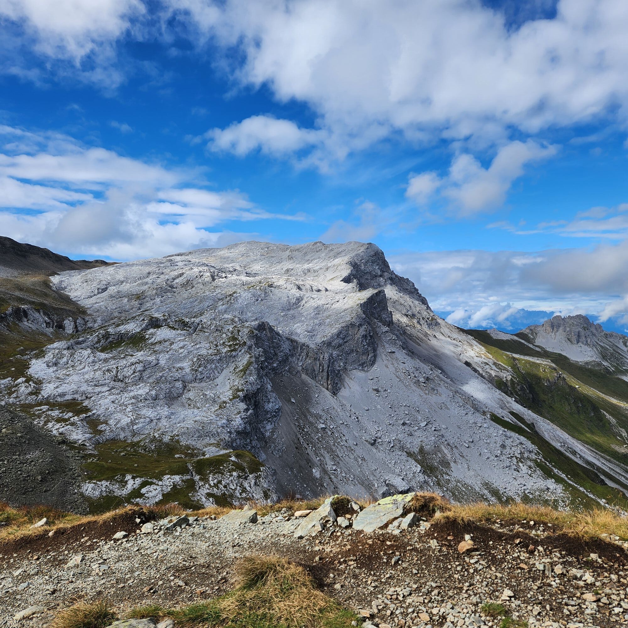
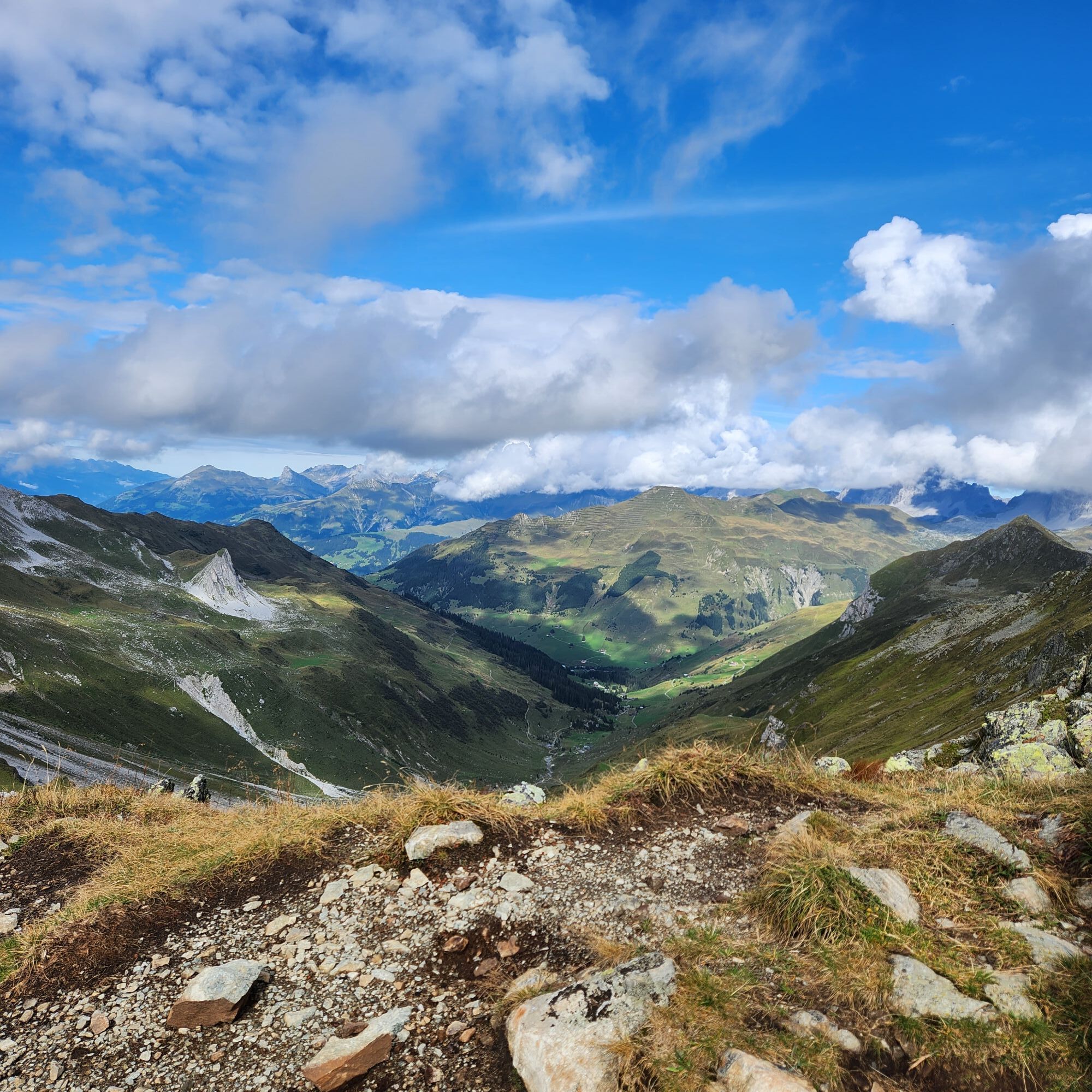
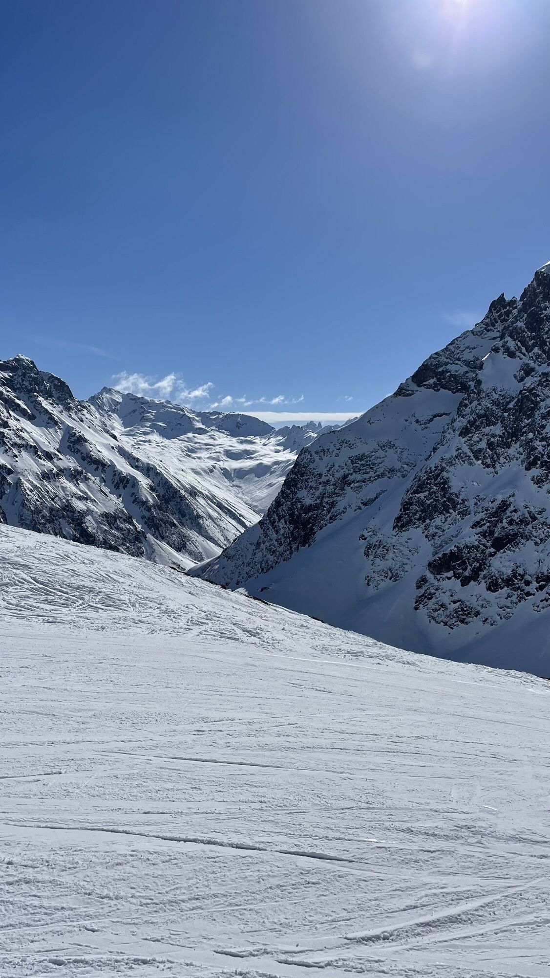
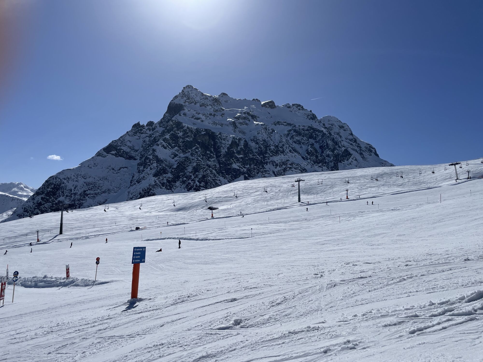
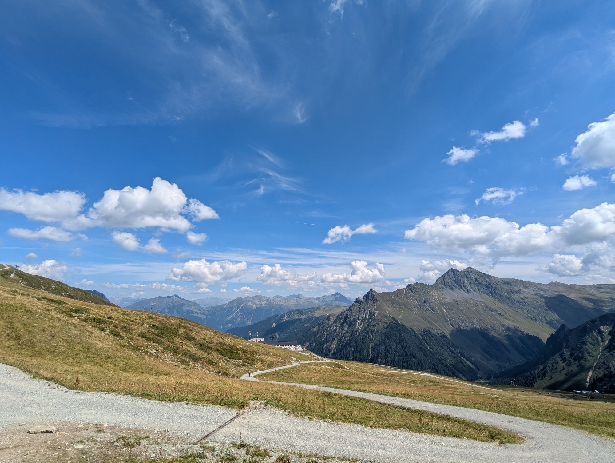
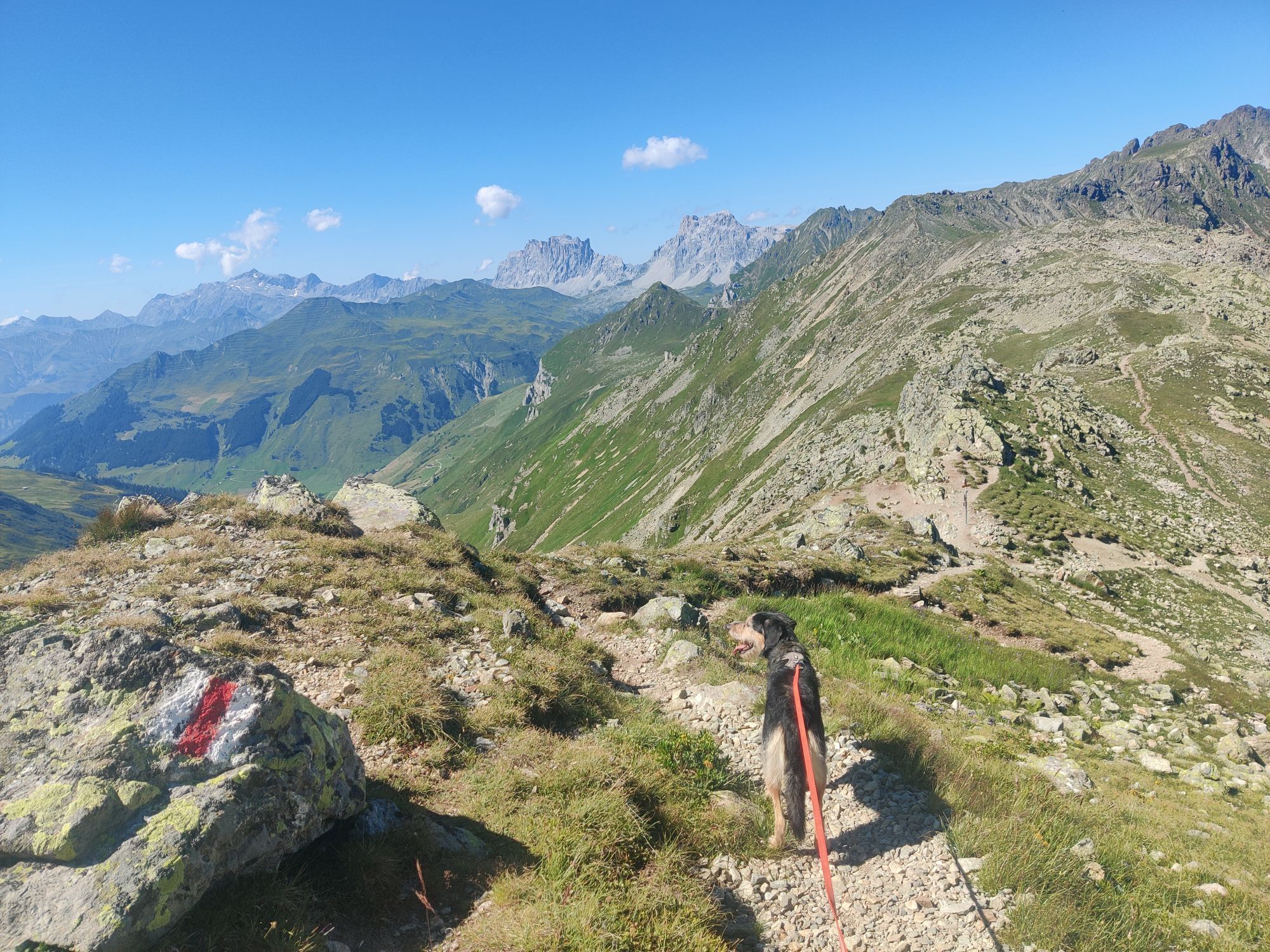
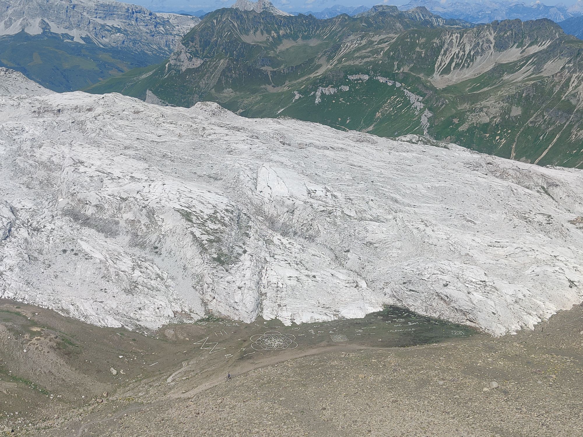
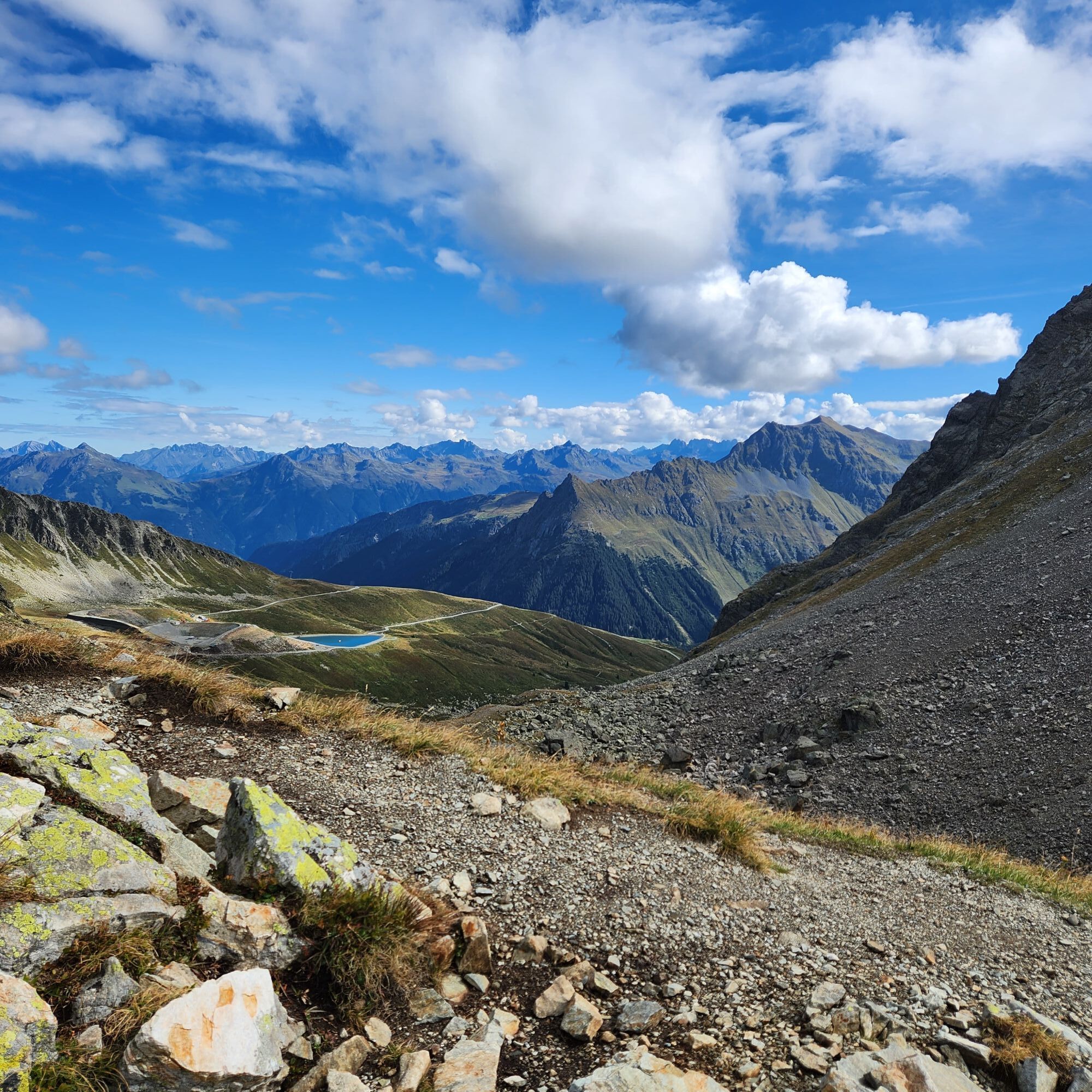
On this cross-border hike, you experience a breathtaking panorama. At the beginning, the Madrisa massif, from the Gafierjochle the Rätschenfluh, which lies directly in front of you. Impressive are also...
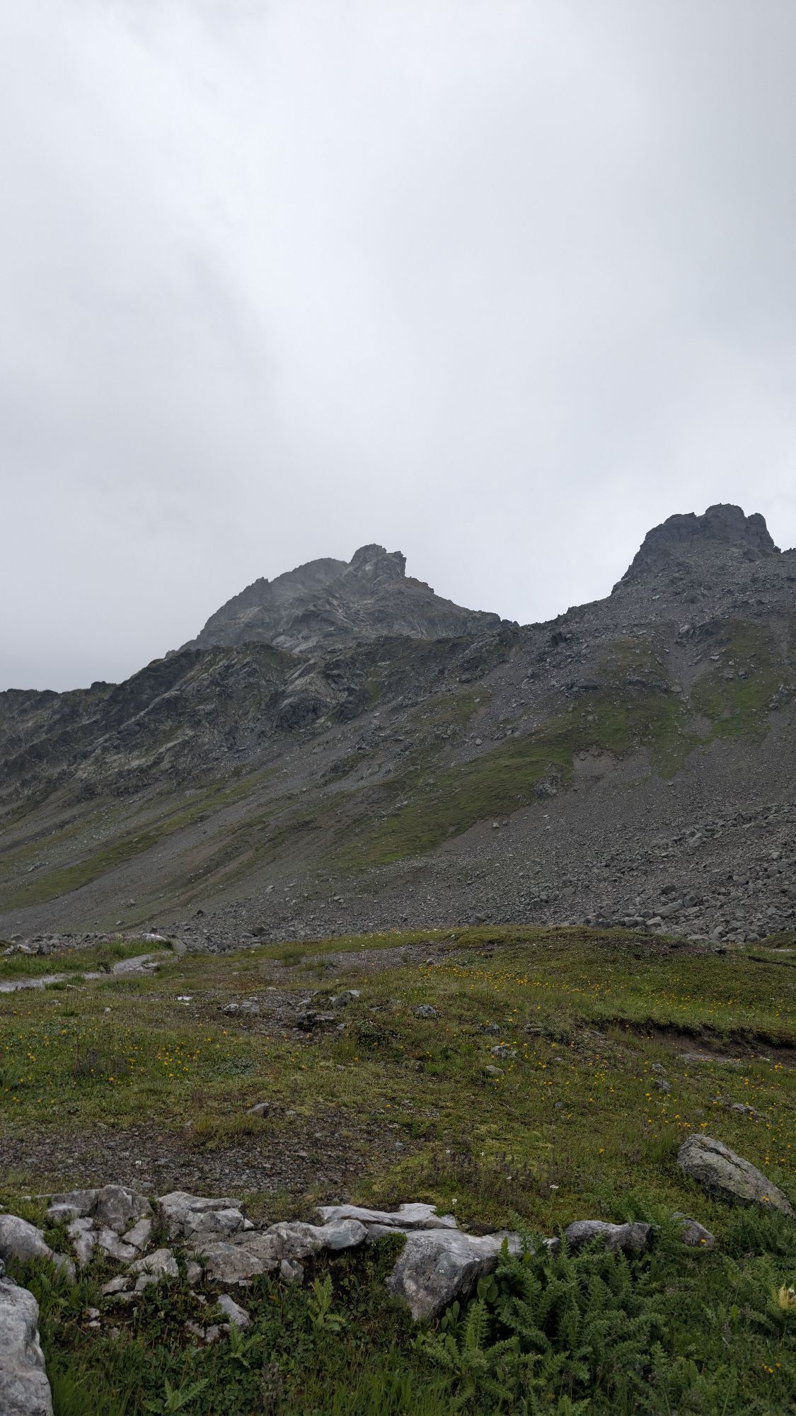
On this cross-border hike, you experience a breathtaking panorama. At the beginning, the Madrisa massif, from the Gafierjochle the Rätschenfluh, which lies directly in front of you. Impressive are also the views towards the Sulzfluh mountain massif or the Rätikon and down to St. Antönien.
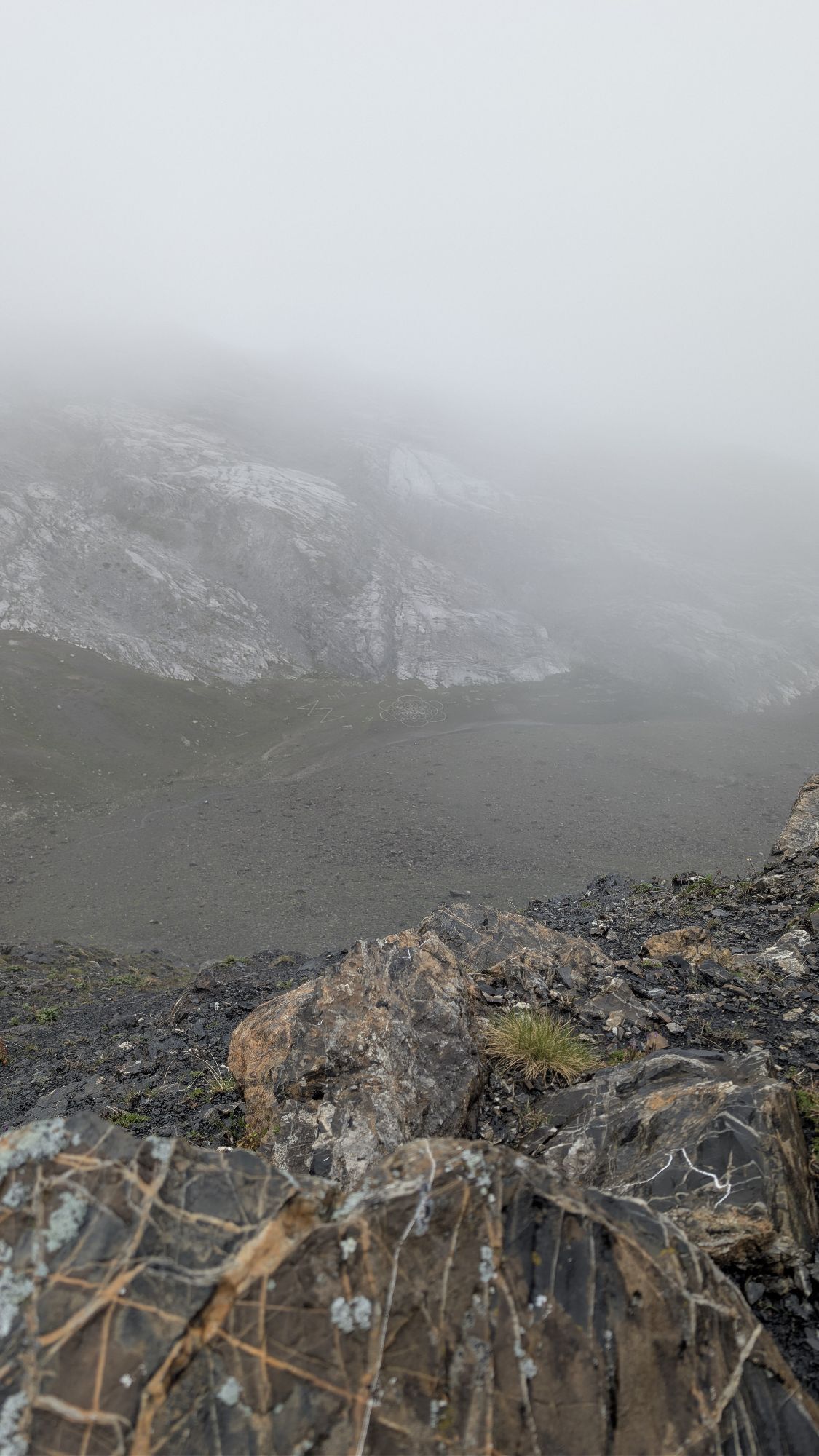
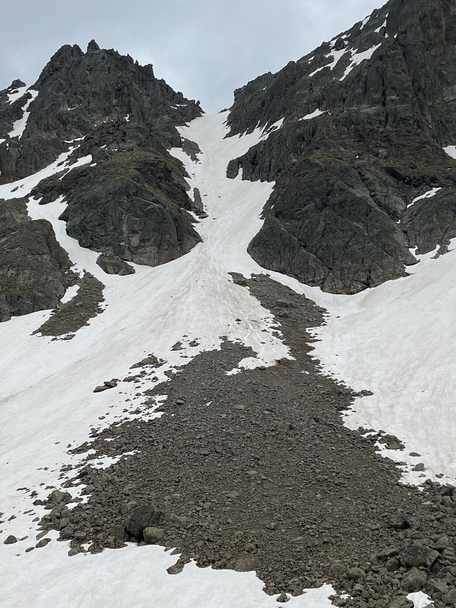
Here you experience geological history up close. You walk along the border between dark gneiss and light limestone. The younger limestone from the Penninic Ocean is overlain by older rock layers. During the folding of the Alps, this lower limestone layer was pushed upwards and exposed by glaciers and erosion.

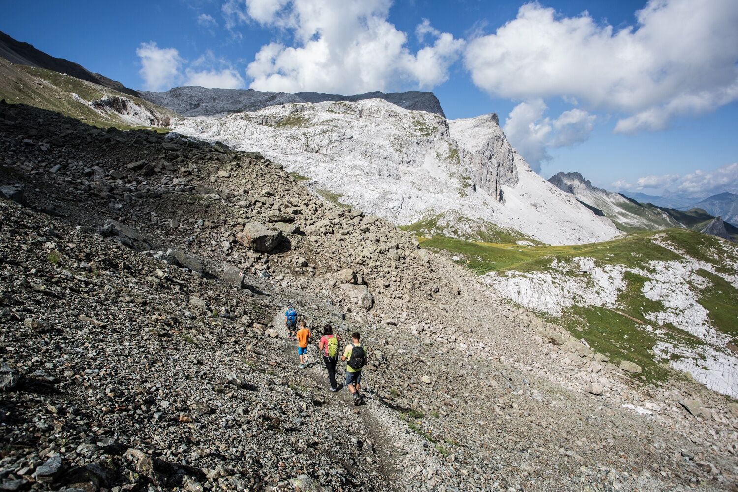
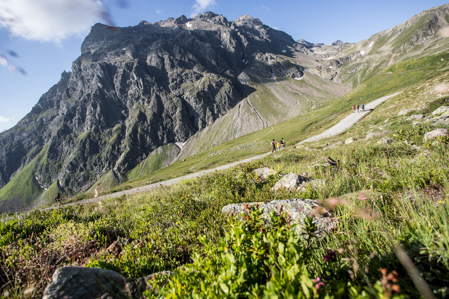
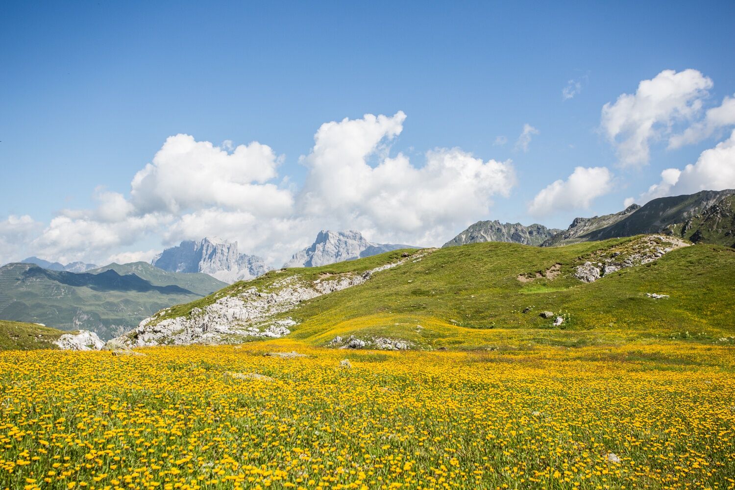
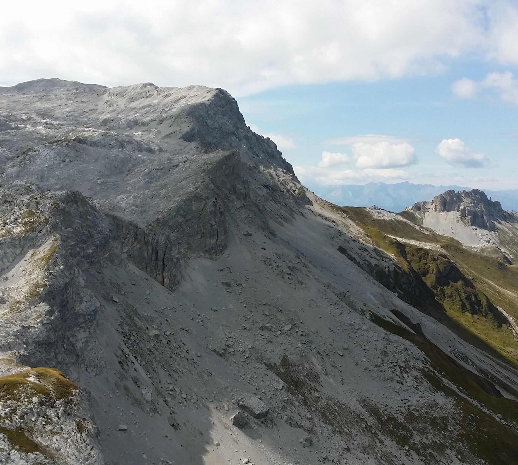
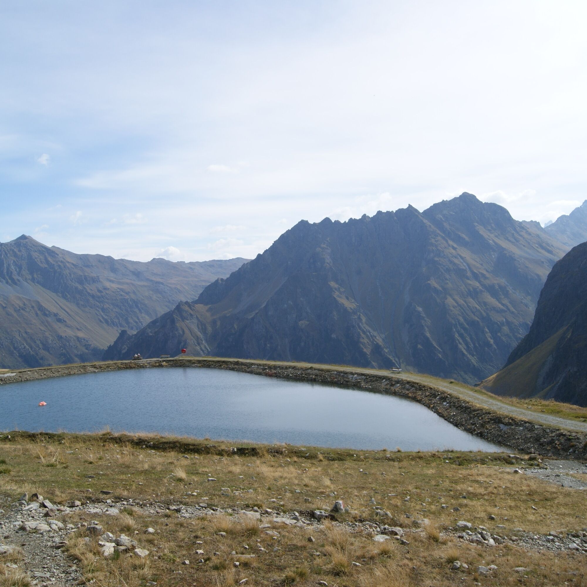
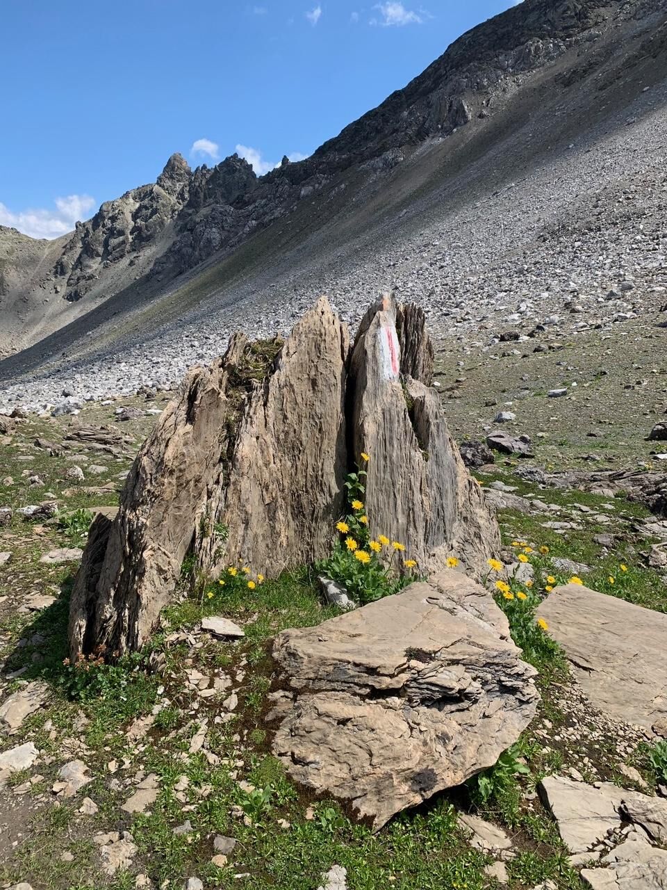
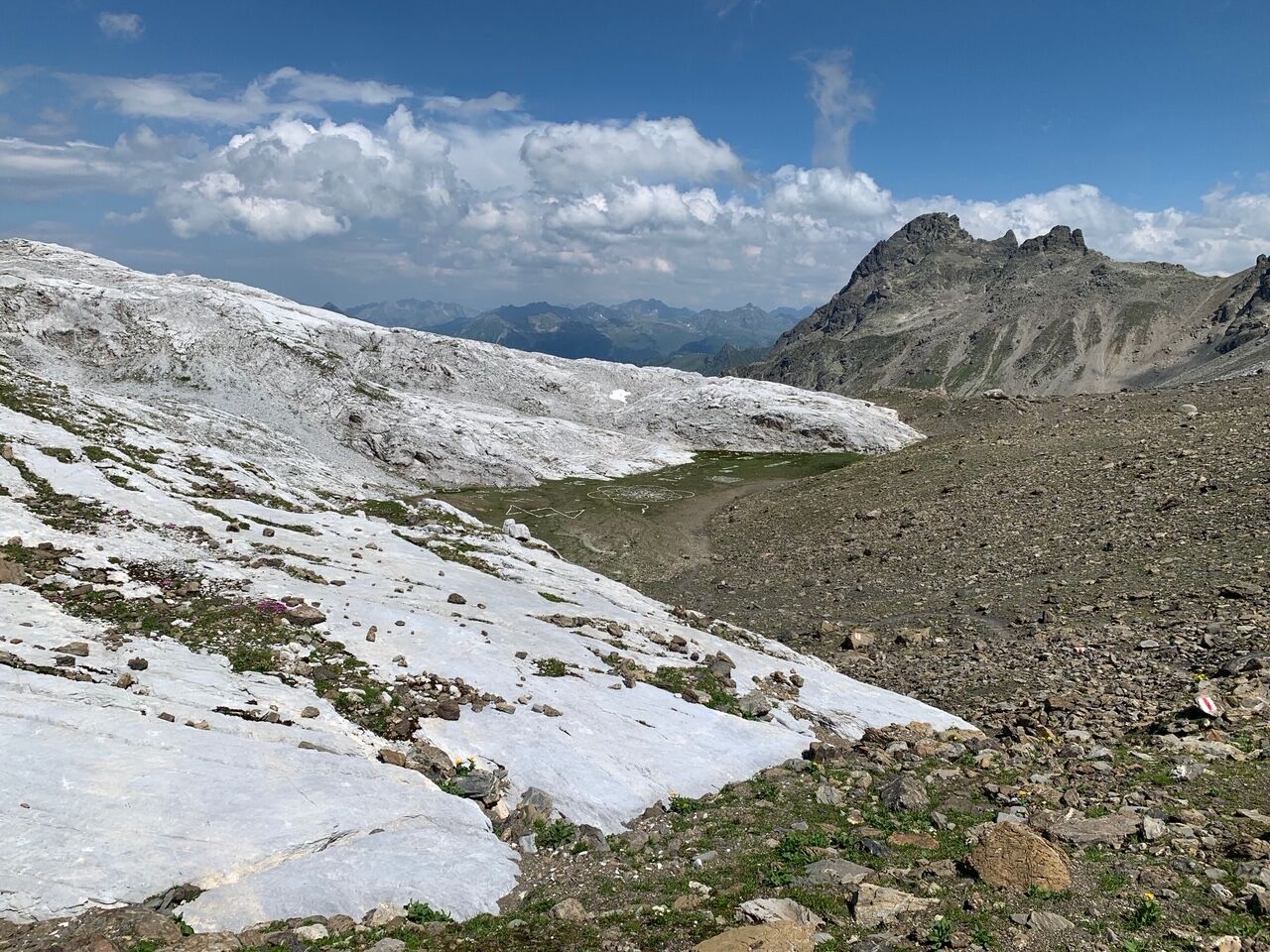
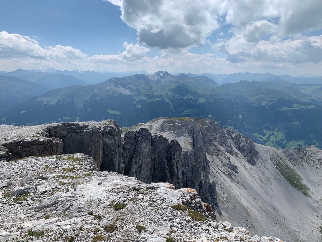

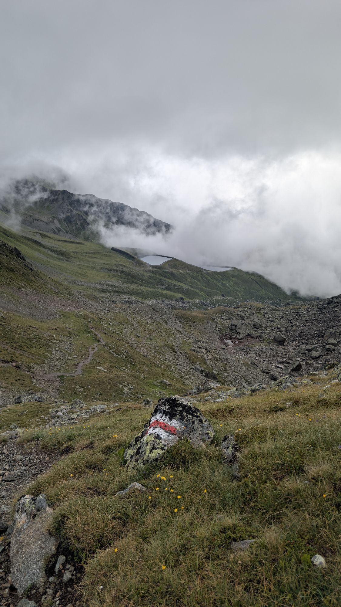
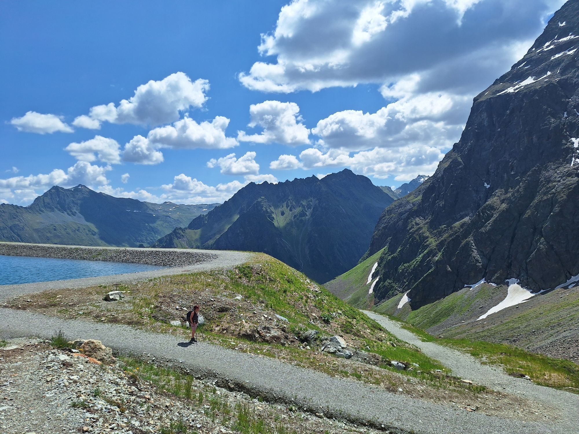
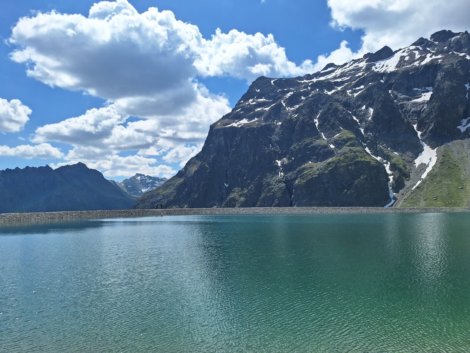
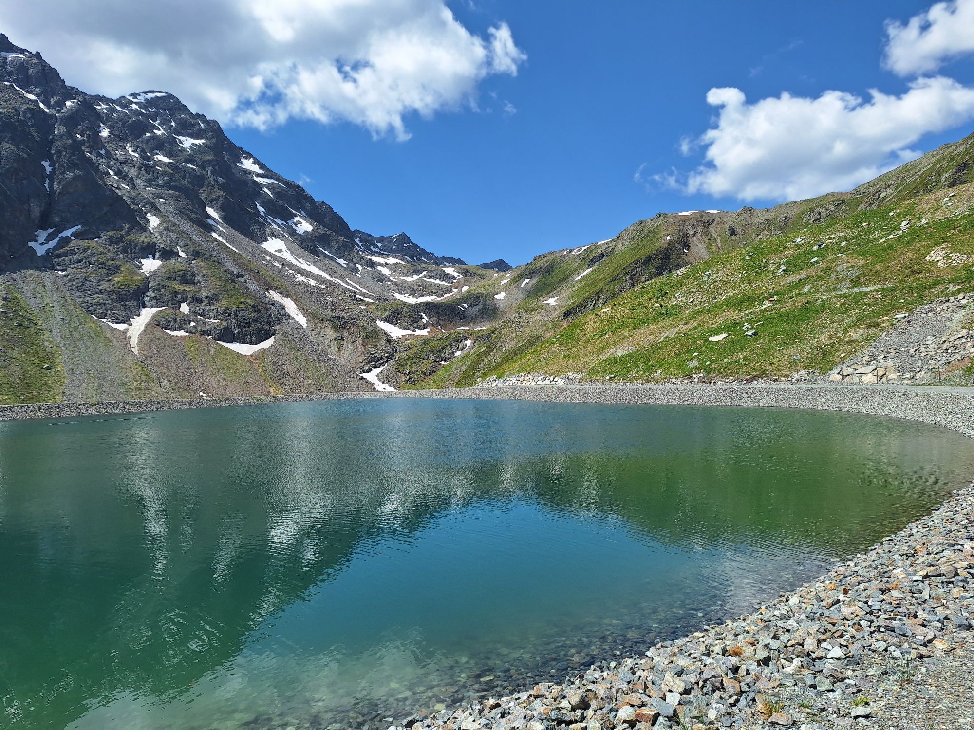
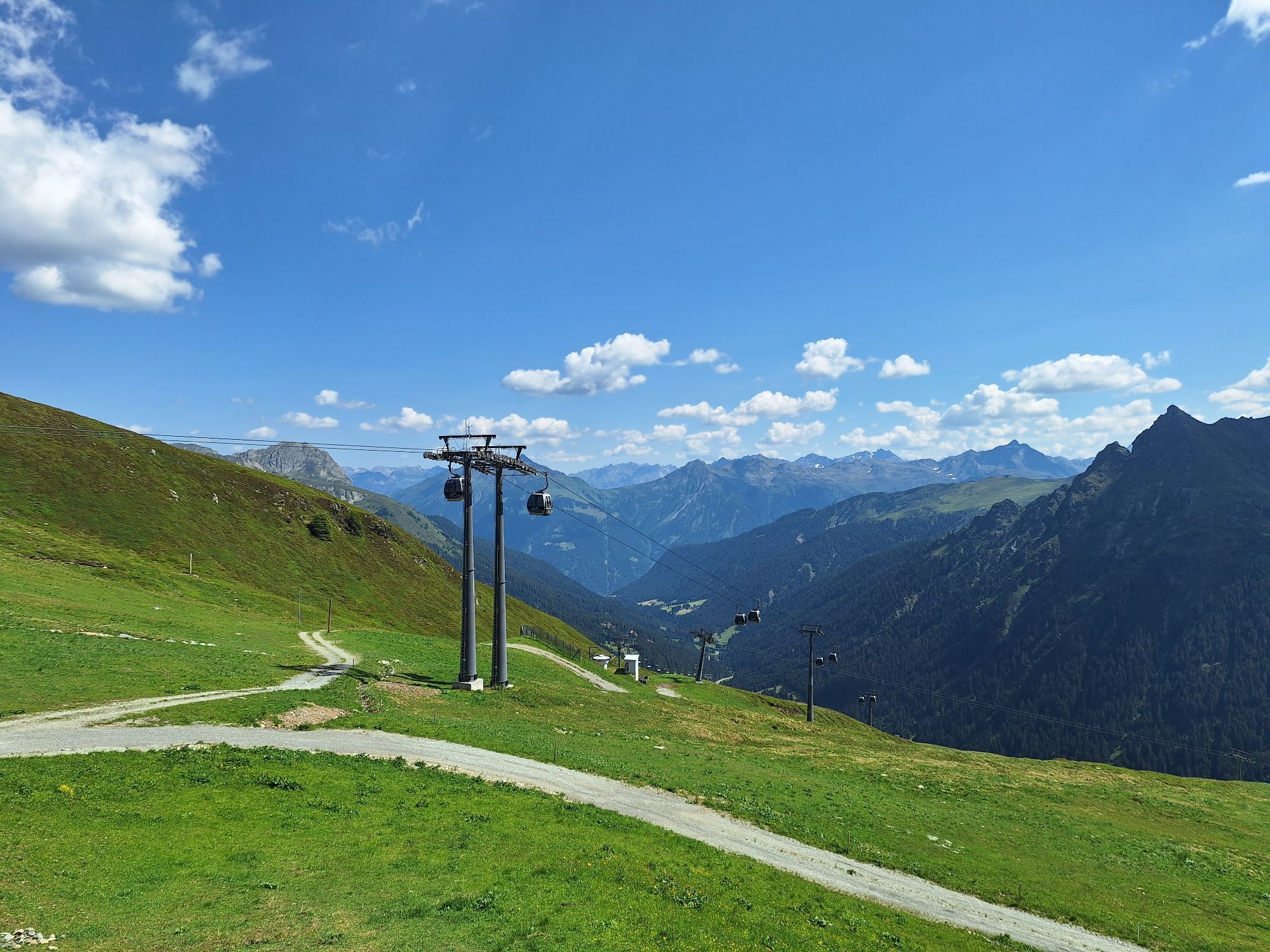
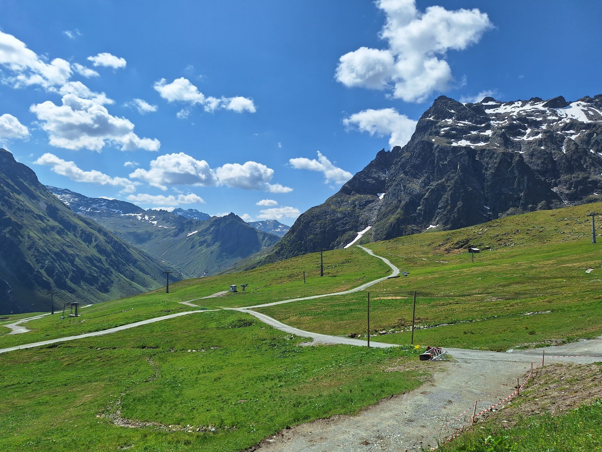
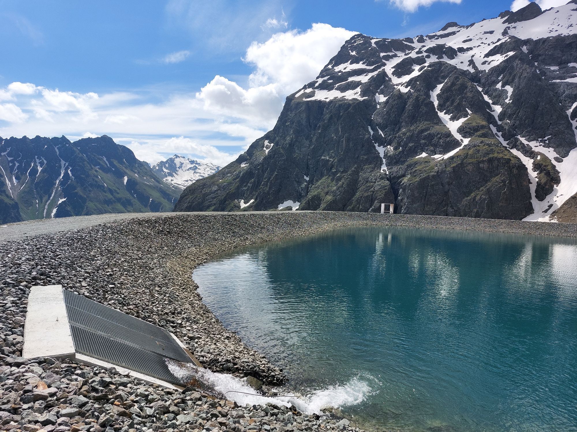
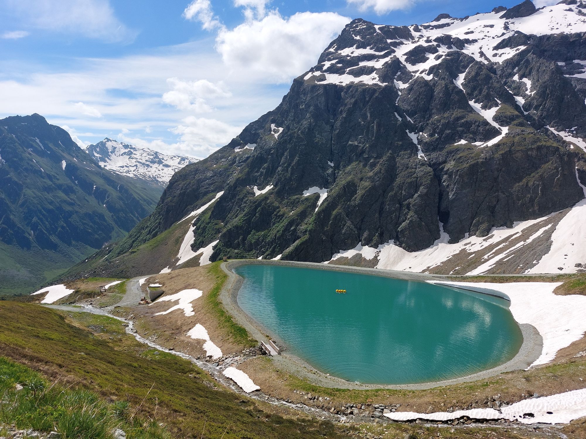
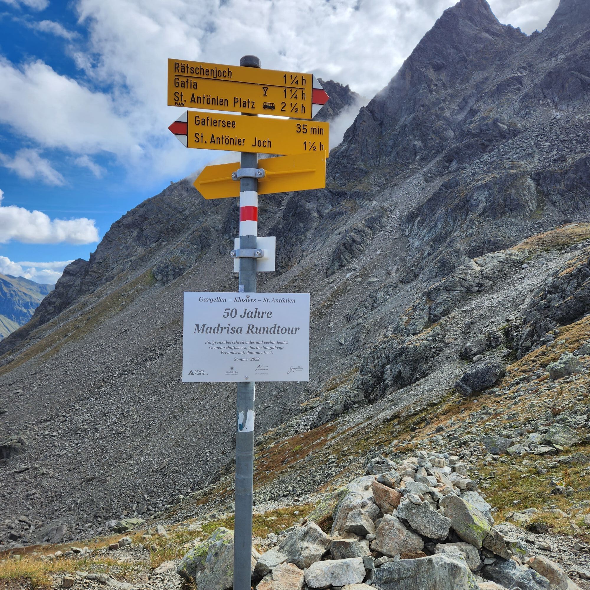
The route starts at the mountain restaurant Schafberg Hüsli in Gargellen. From here, follow the signs towards Gafierjoch. The hike leads us below the Gargellner Köpfe, past the Schafbergsee (reservoir pond), until after about half an hour we reach the Gafierjoch (2415 m) and cross the border into Switzerland. Now it goes downhill on the path towards Rätschenjoch (2602 m). At about 2300 m, the path then crosses to the left into flat terrain. Here you will find geological history to touch. Further along the border between the dark gneiss and the light limestone. Before the path steeply ascends left to the Rätschenjoch, follow the trail to the right to the summit of the Rätschenfluh. Over bright stone slabs and paths covered with scree, you reach the flat summit plateau of the Rätschenfluh from the fork in about 20 minutes. Return to the starting point on the same path.
Ano
Ano
Ano
Ano
Good, ankle-high hiking boots with a good tread, sun protection, and sufficient provisions and drinks to take along, hiking poles recommended
EMERGENCY: 144
European emergency number: 112 (works with any mobile phone/network)
Take the A14 to the Bludenz/Montafon exit and continue on Montafonerstrasse L188. Then turn right onto Gargellnerstrasse and follow it up to Gargellen.
Just leave your car behind
Local buses operate throughout Montafon. The main lines run every half hour from Schruns station.
Bus stop at the start/finish of the route: Gargellen Schafbergbahn/ Line 670
Timetable: www.vmobil.at
Arrival by train to Montafon
From Bludenz station, the Montafonerbahn runs hourly (sometimes every half hour). There are also direct connections from Lindau (D) and Bregenz.
Timetable: www.oebb.at
Parking lot Bergbahnen Gargellen (paid)
A short detour to the Rätschenjoch opens up a great view of the Saaser Alm


Webové kamery z prohlídky
-
Pizzeria Barga
-
Pizzeria Barga
-
Gargellen - Haus Gadafent
-
Madrisa Bergstation / Kinderland
-
Madrisa Bergstation / Kinderland
-
Madrisa Bergstation / Kinderland
-
Madrisa Bergstation / Kinderland
-
Madrisa Bergstation / Kinderland
-
Schlappin
-
Madrisaland
-
Madrisaland
-
St. Antönien - Skilift
-
Skilift St. Antönien
-
Madrisa Bergstation / Kinderland
-
Schlappin
-
Gargellen
-
Gargellen Süd
-
Gargellen West
-
Gargellen - Alpenhaus Montafon
Získejte přehled
Vždy živě na místě s více než 9 500 webkamerami. bergfex Jako uživatel Pro si nyní můžete zobrazit odpovídající webové kamery pro mnoho prohlídek v aplikaci prohlídky z. Můžete si tak přímo prohlédnout aktuální podmínky.
Oblíbené prohlídky v okolí
-
5.0
Ski tour to the Lindauer Hut (1,744 m)
světloLyžařská trasa 14.0 km -
4.7
Smuggler’s path
středníTematická stezka 8.60 km -
4.4
Golm-Rundwanderweg im Rätikon
středníTematická stezka 7.28 km -
4.9
Douglasshütte, Lünersee, Gafalljoch Brand bei Bludenz, Vorarlberg
světloTuristika 9.16 km -
4.5
Madrisella summit path
středníTematická stezka 10.8 km -
4.3
Golmerbahn Bergstaion Grüneck - Golmer Höhenweg - Geißspitze - Lindauer Hütte - Latschau
středníTuristika 11.5 km -
4.8
Madrisella via ferrata
heavyVia ferrata 8.52 km -
3.0
Bergstation Grüneck Golmerbahn - Alpe Latschätz - Lindauer Hütte - Latschau
světloTuristika 11.1 km -
4.7
Gargellner Window Path
středníTematická stezka 7.21 km -
4.9
Sulzfluh via ferrata, St. Antönien
heavyVia ferrata 11.3 km
Pěší turistika a stopování


Nenechte si ujít nabídky a inspiraci pro vaši příští dovolenou
Vaše e-mailová adresa byl přidán do poštovního seznamu.





