







Summit route Saulakopf East face
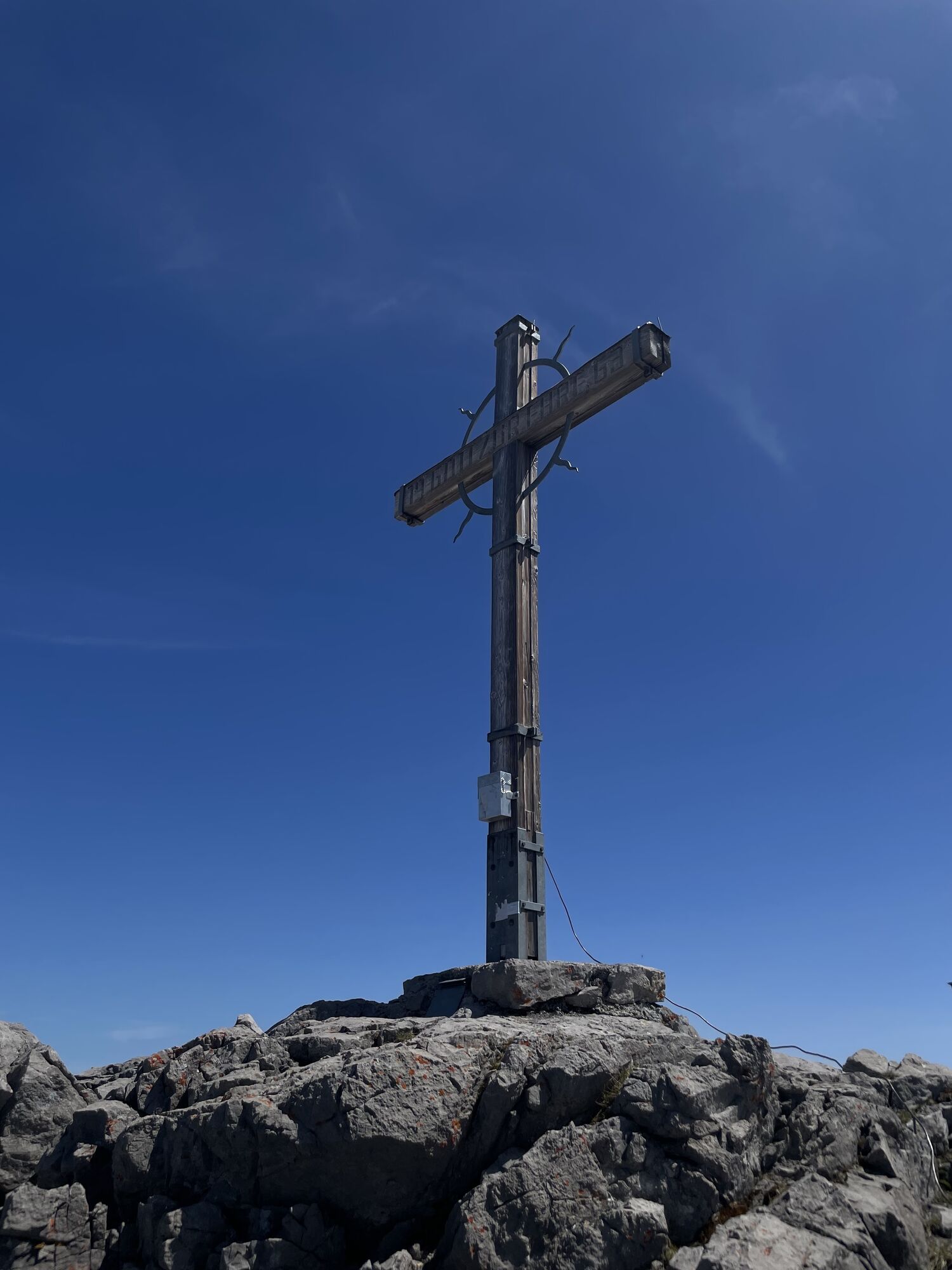
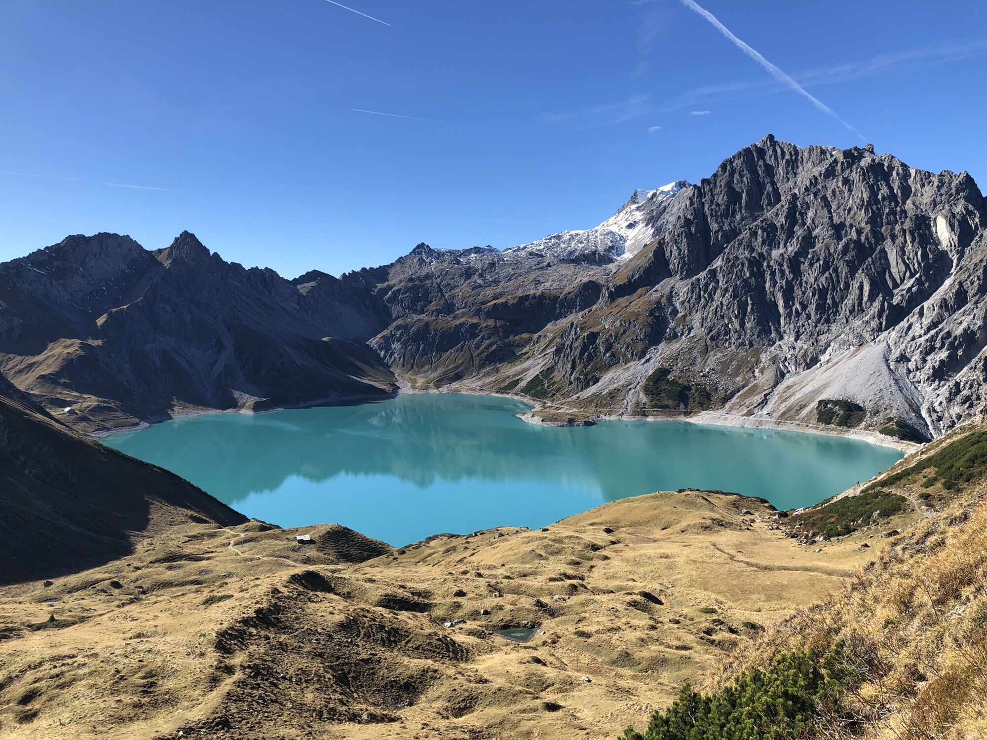
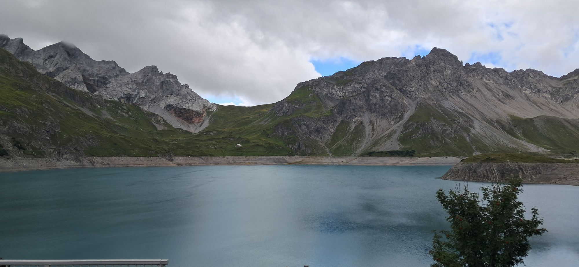
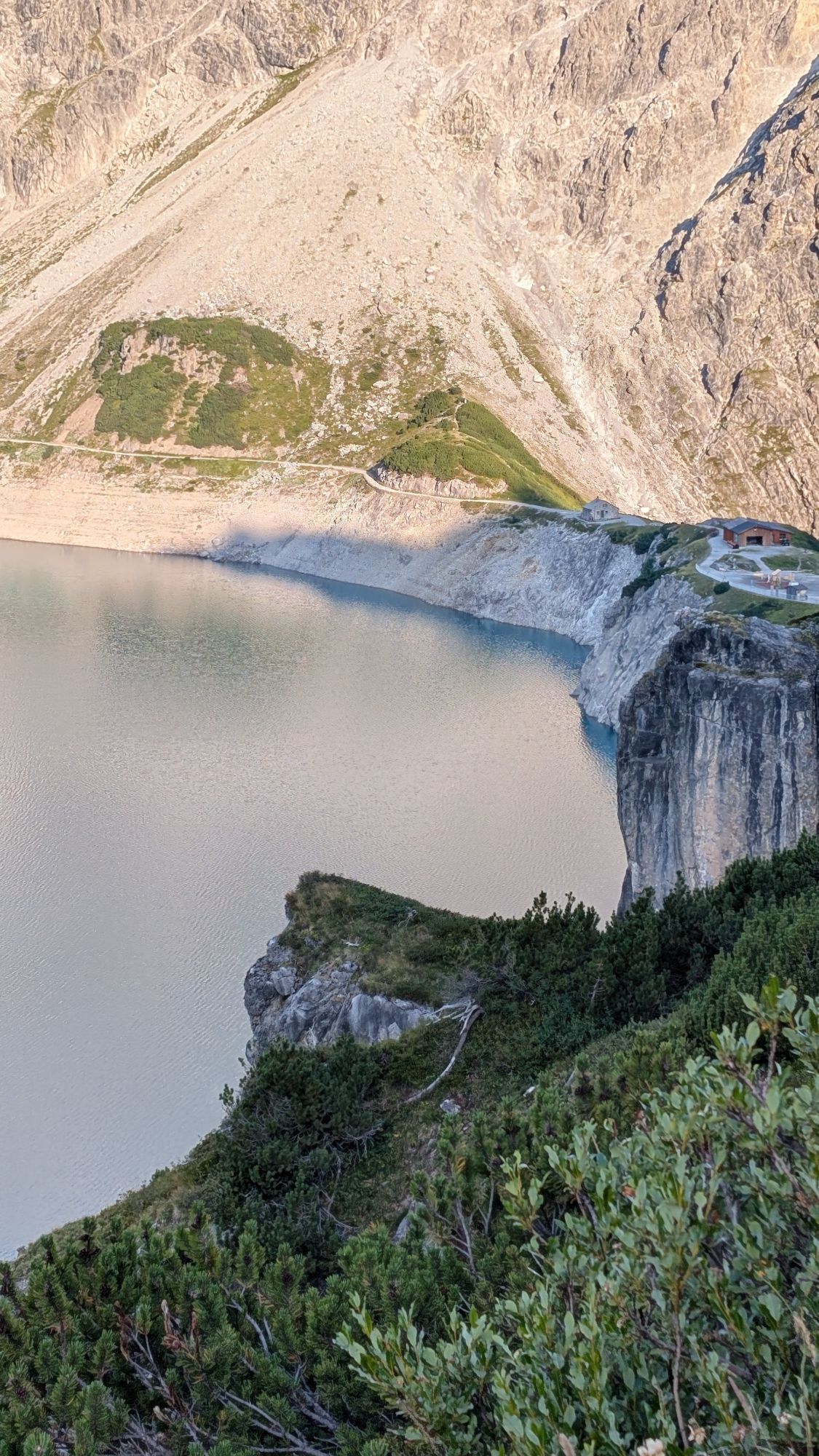
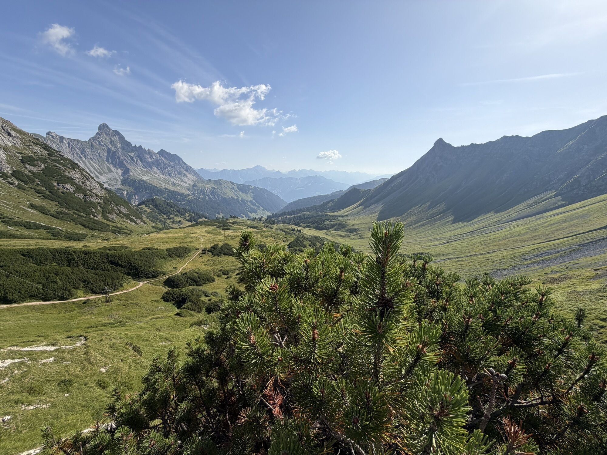
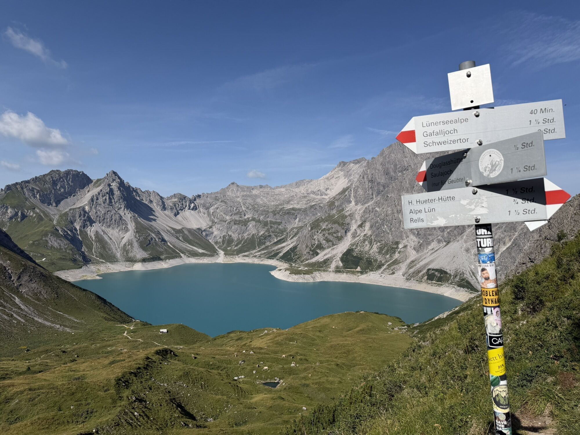
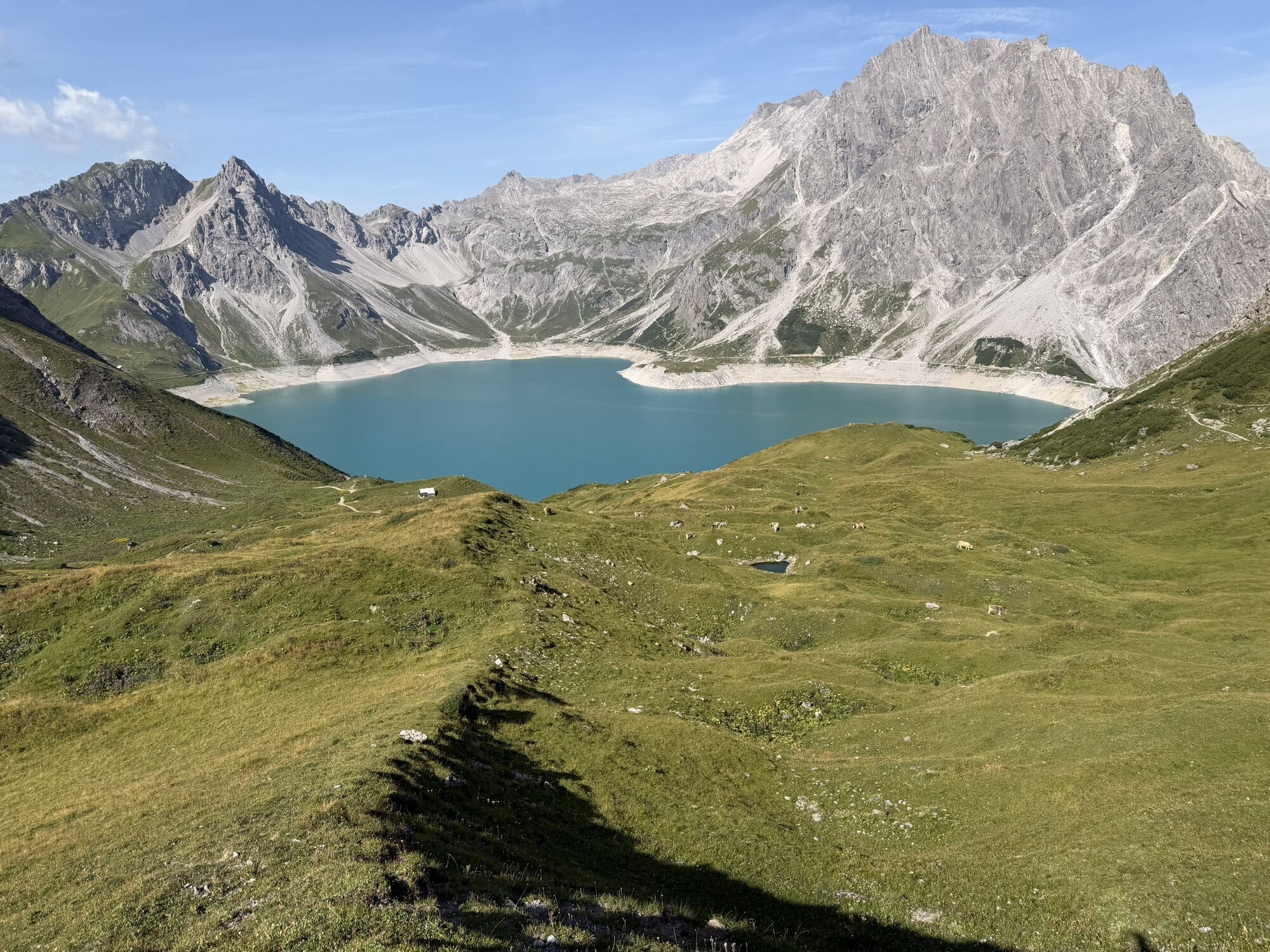
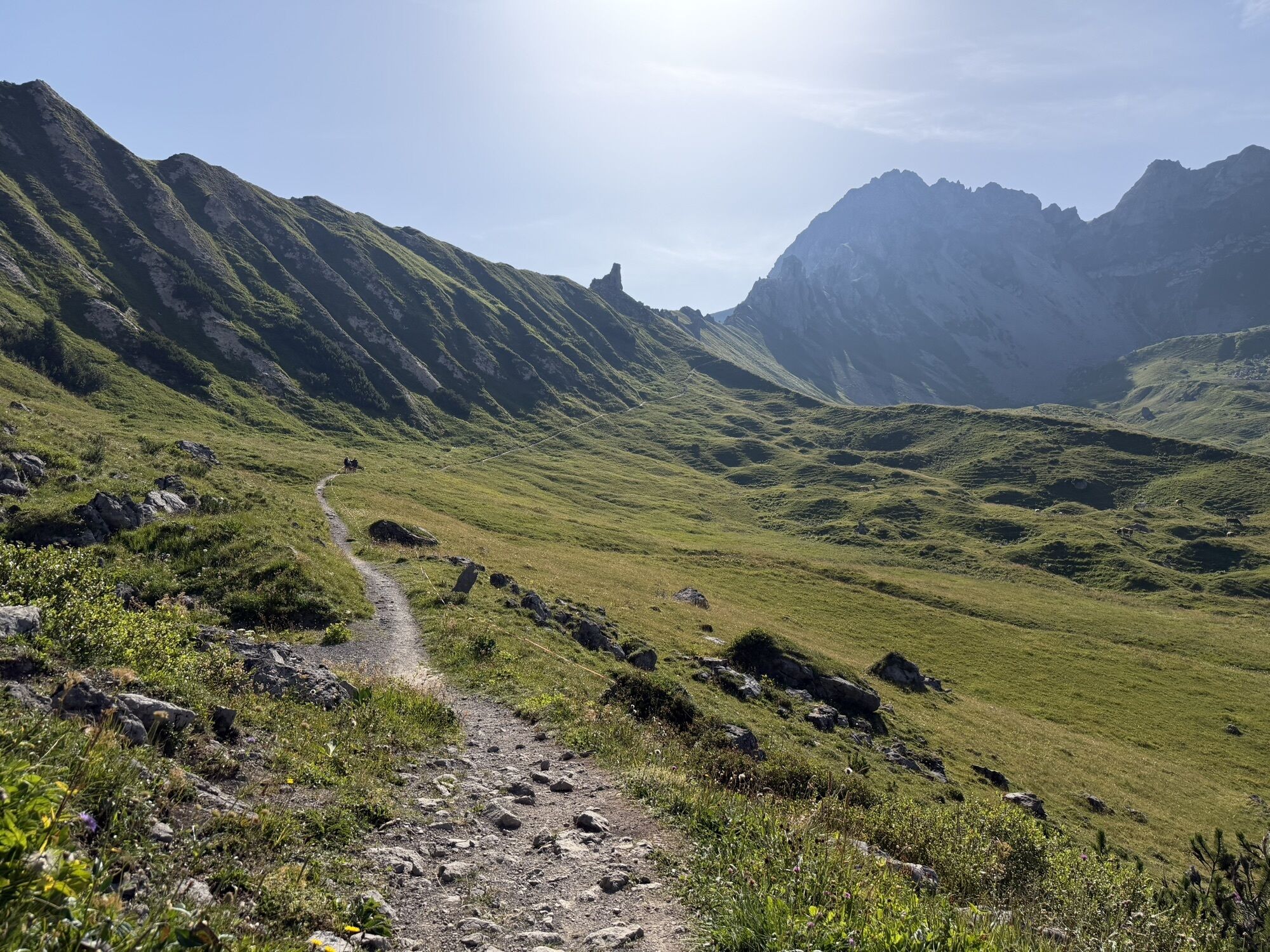
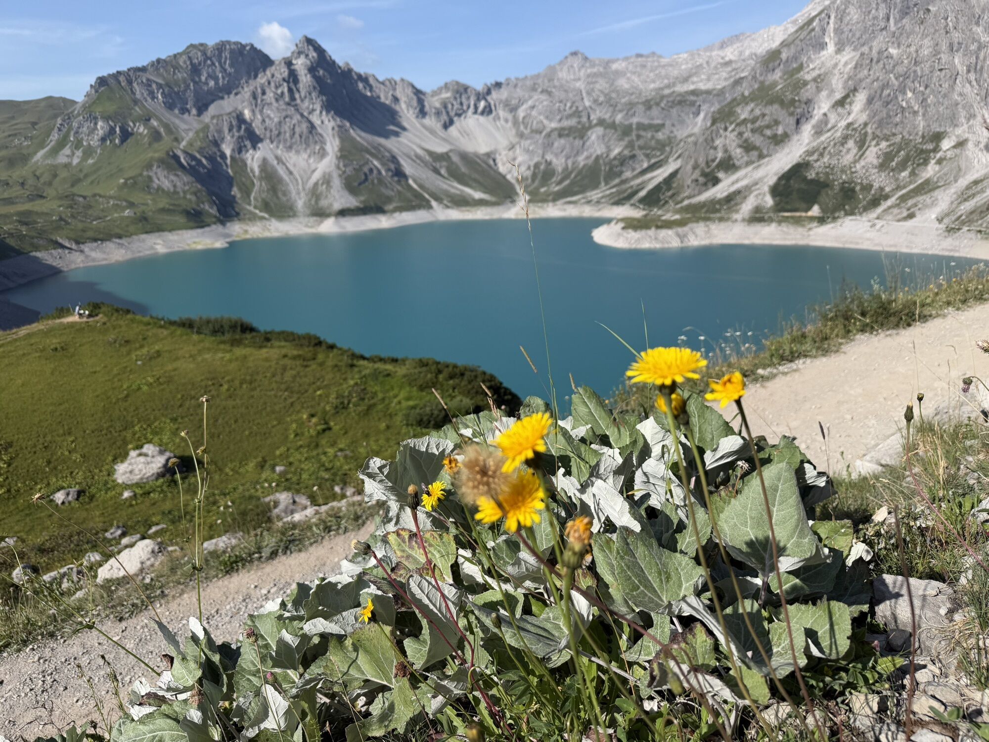
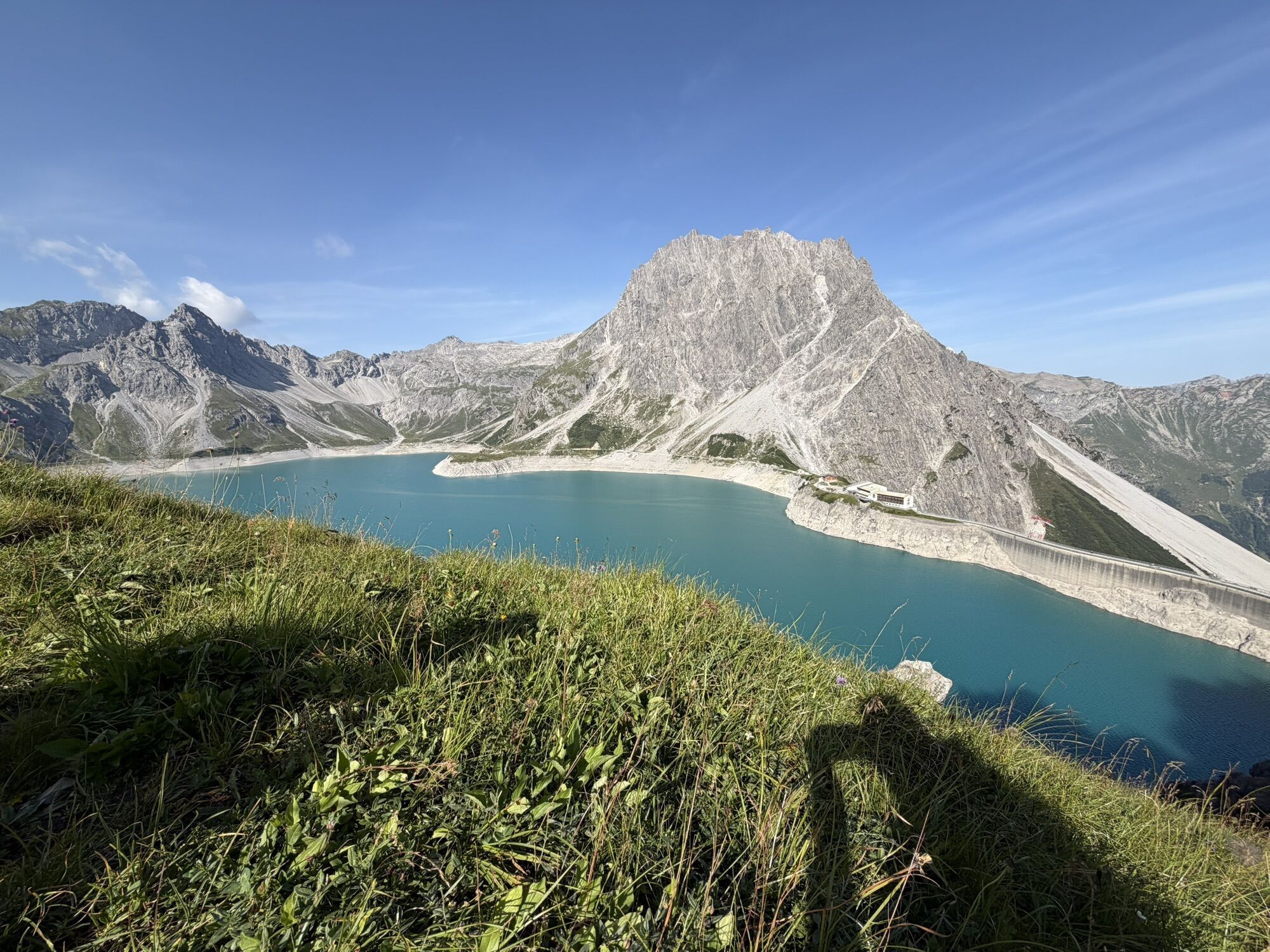
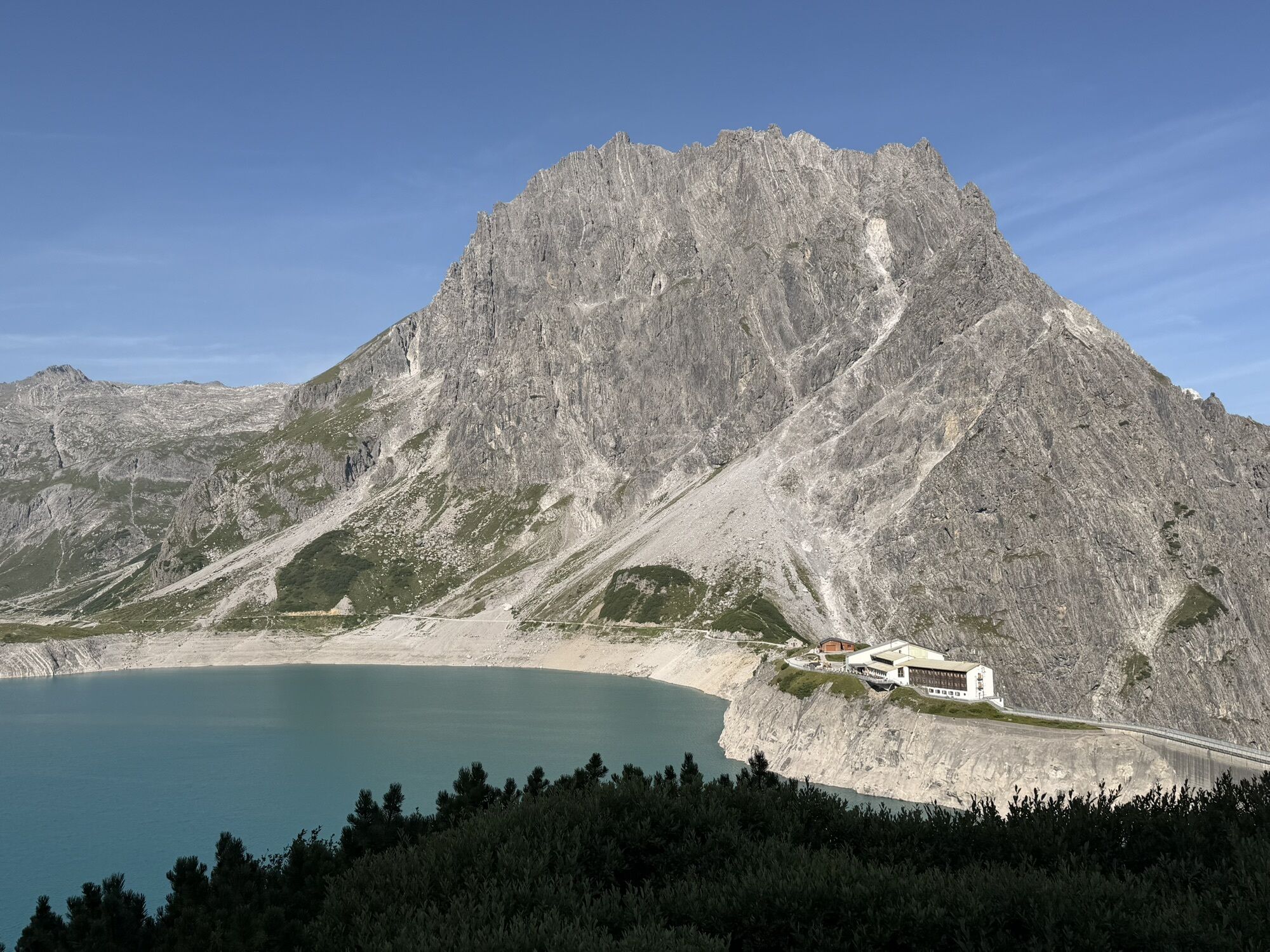
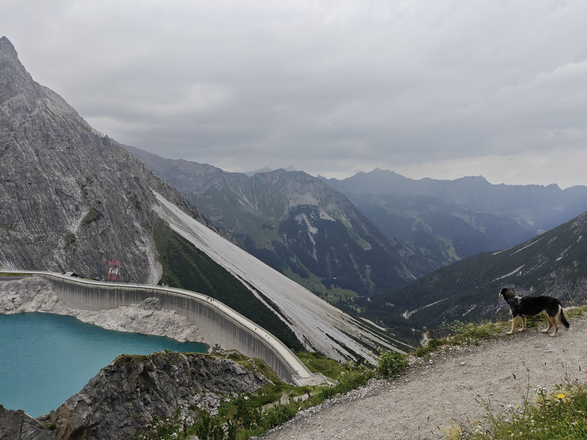
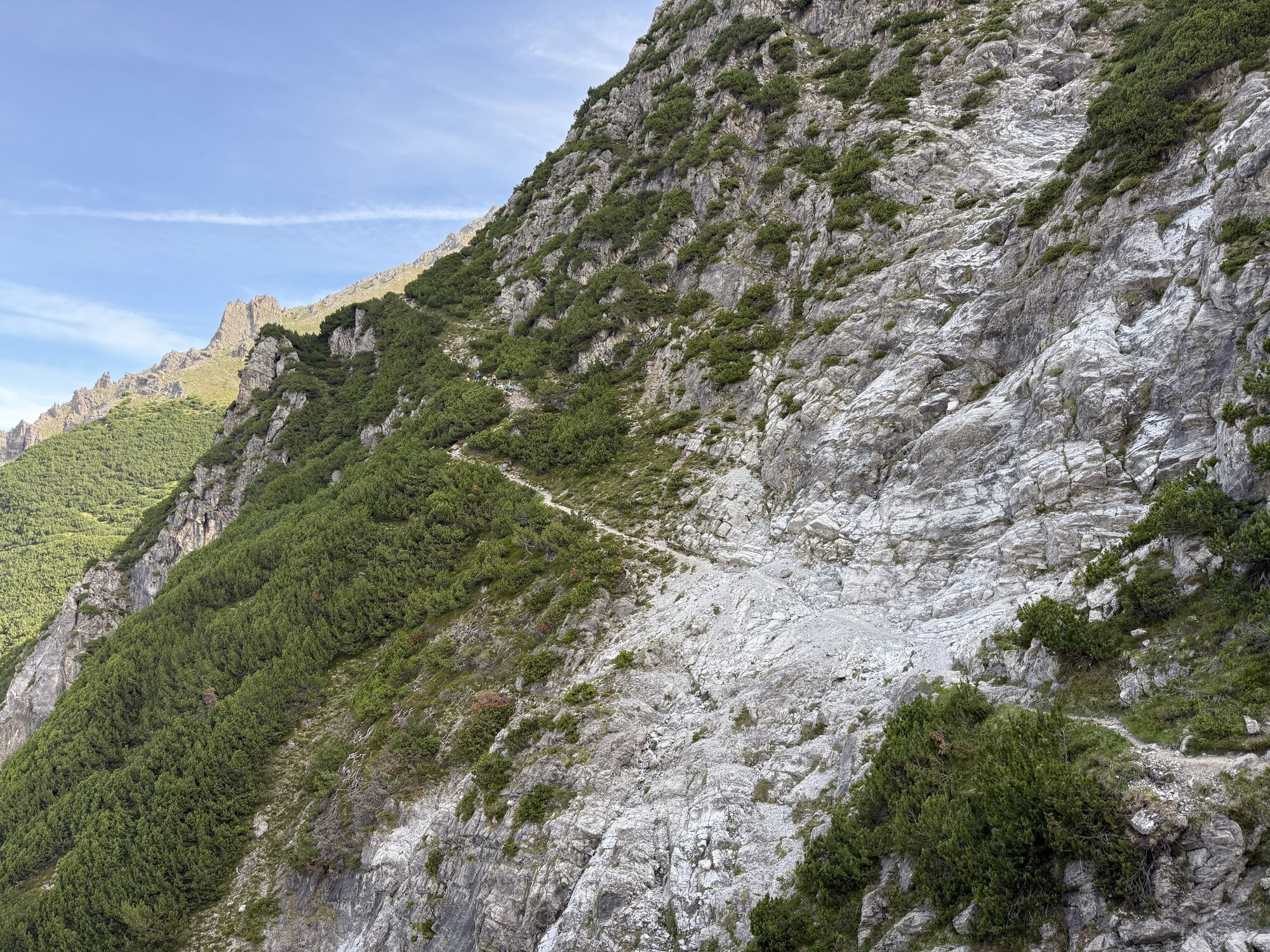
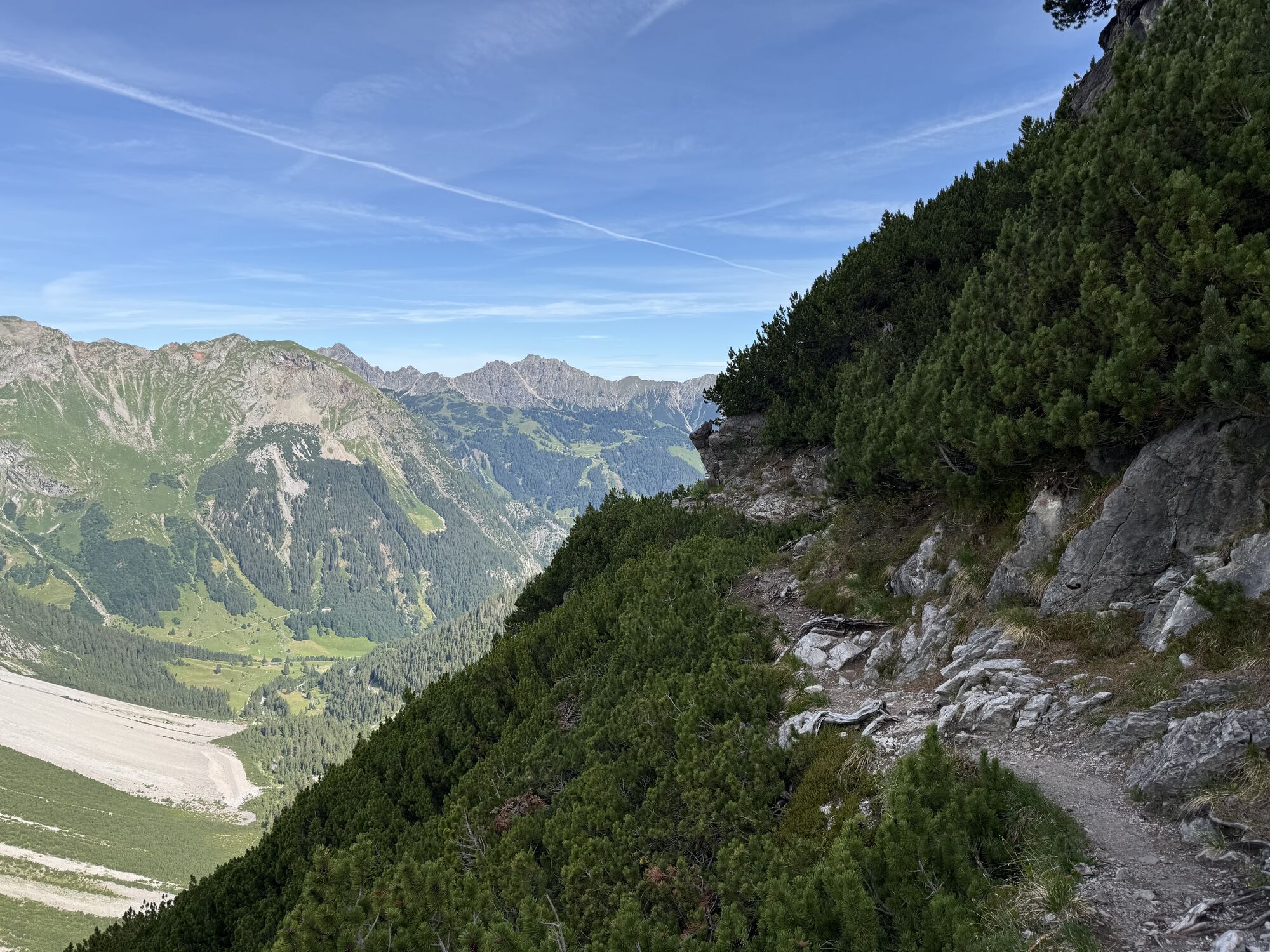
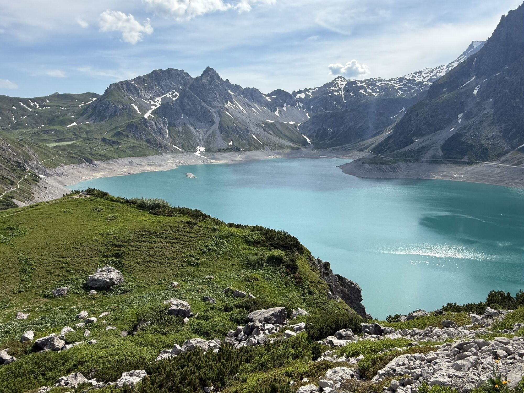
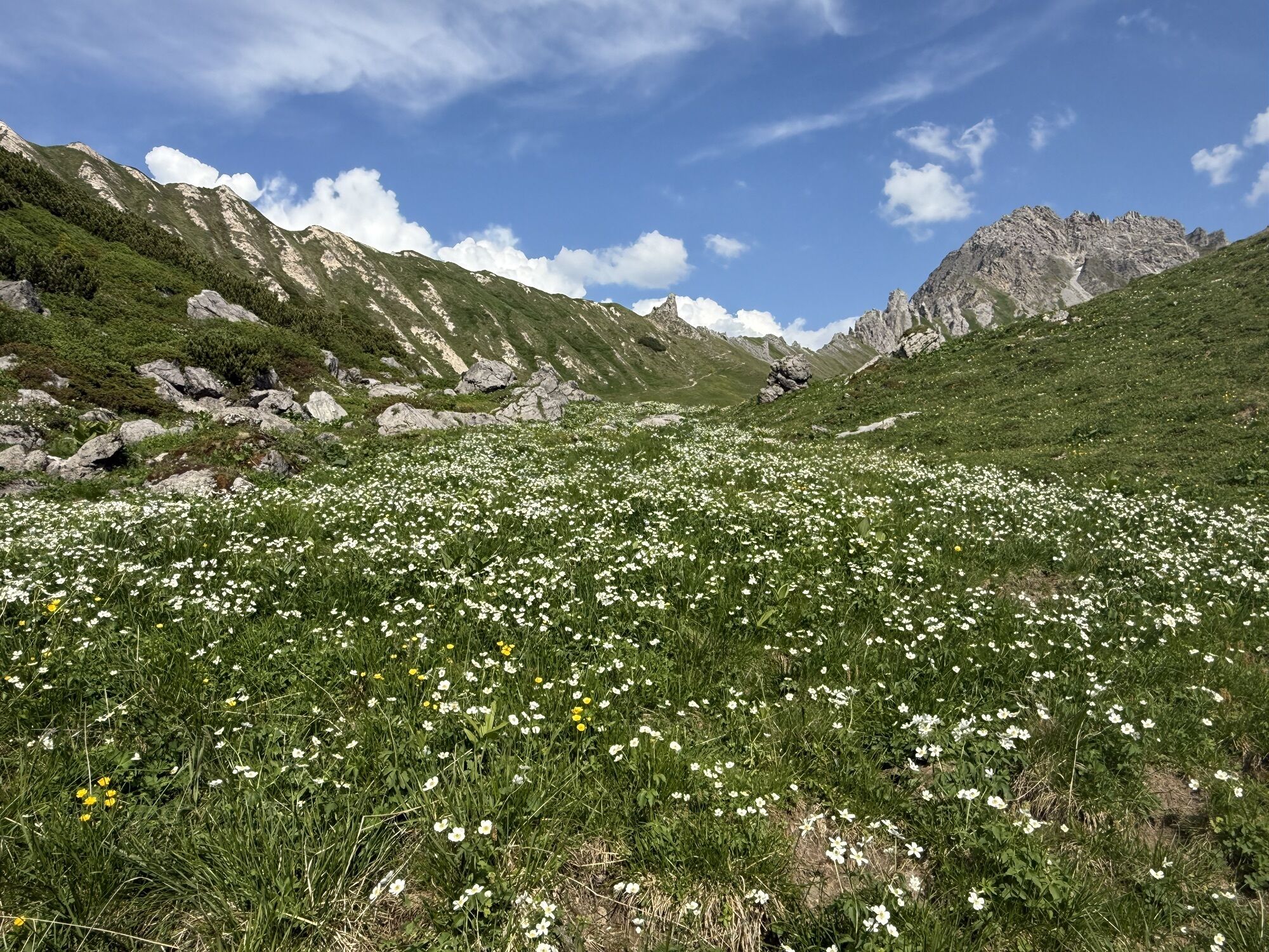
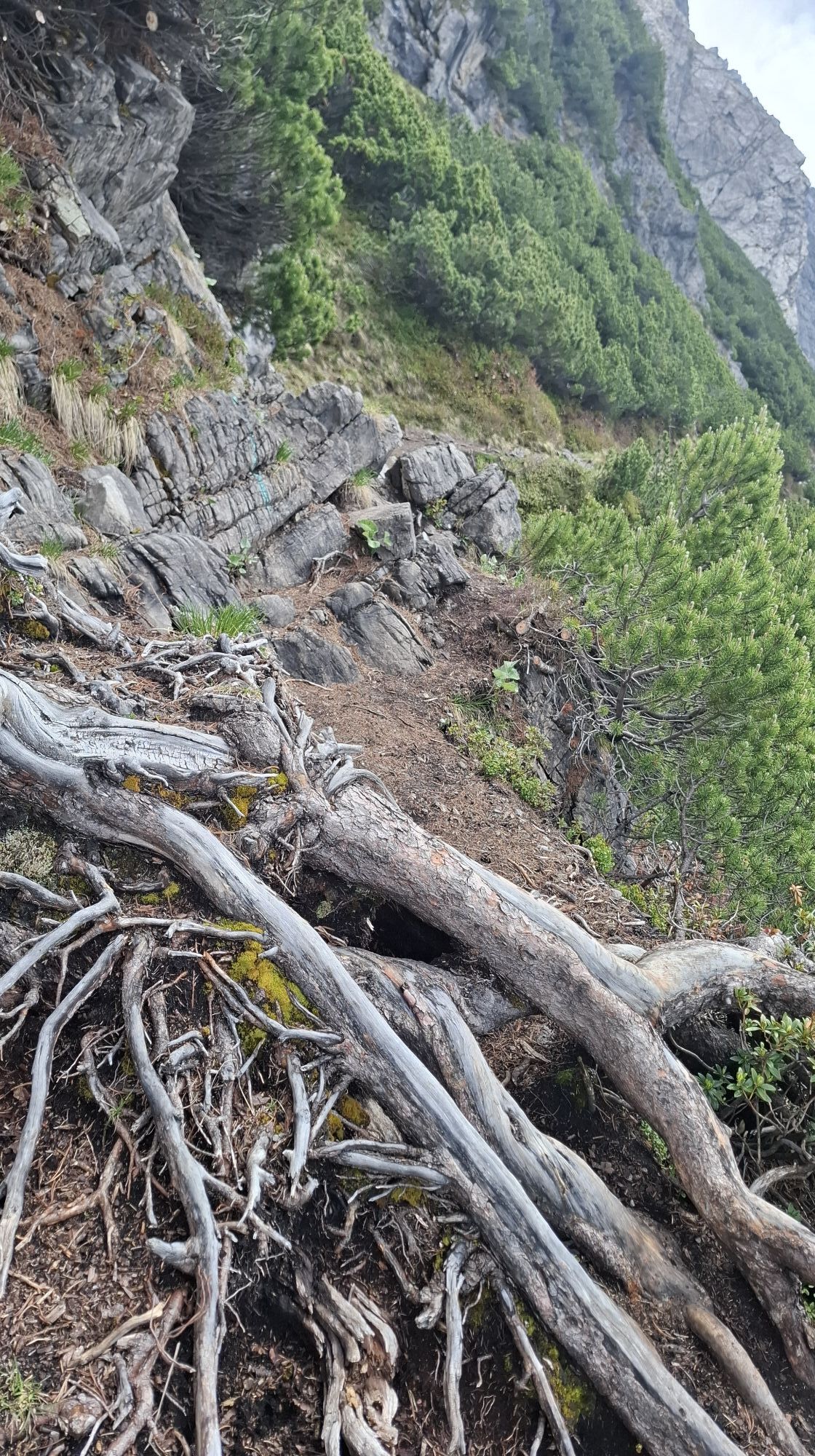
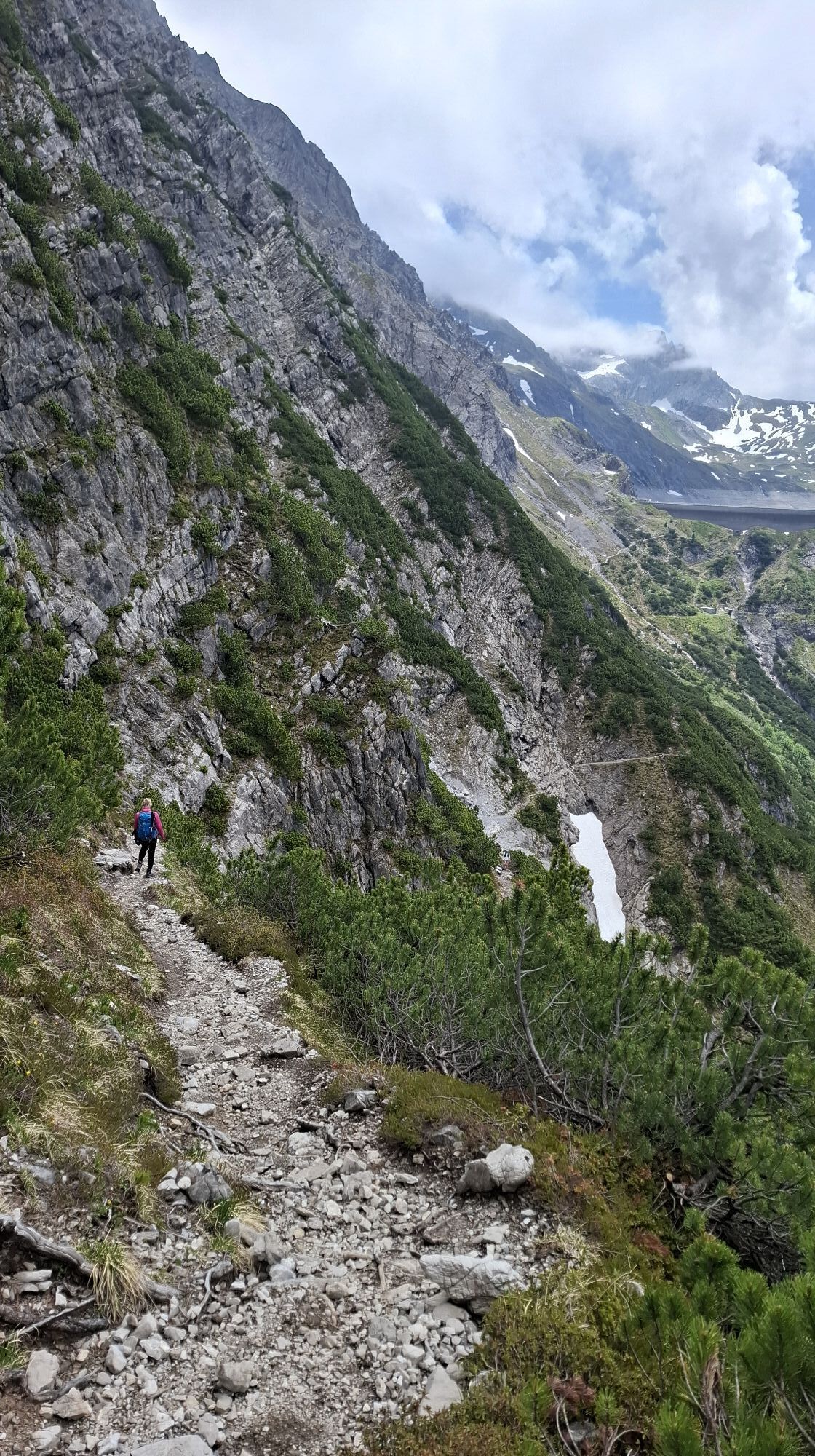
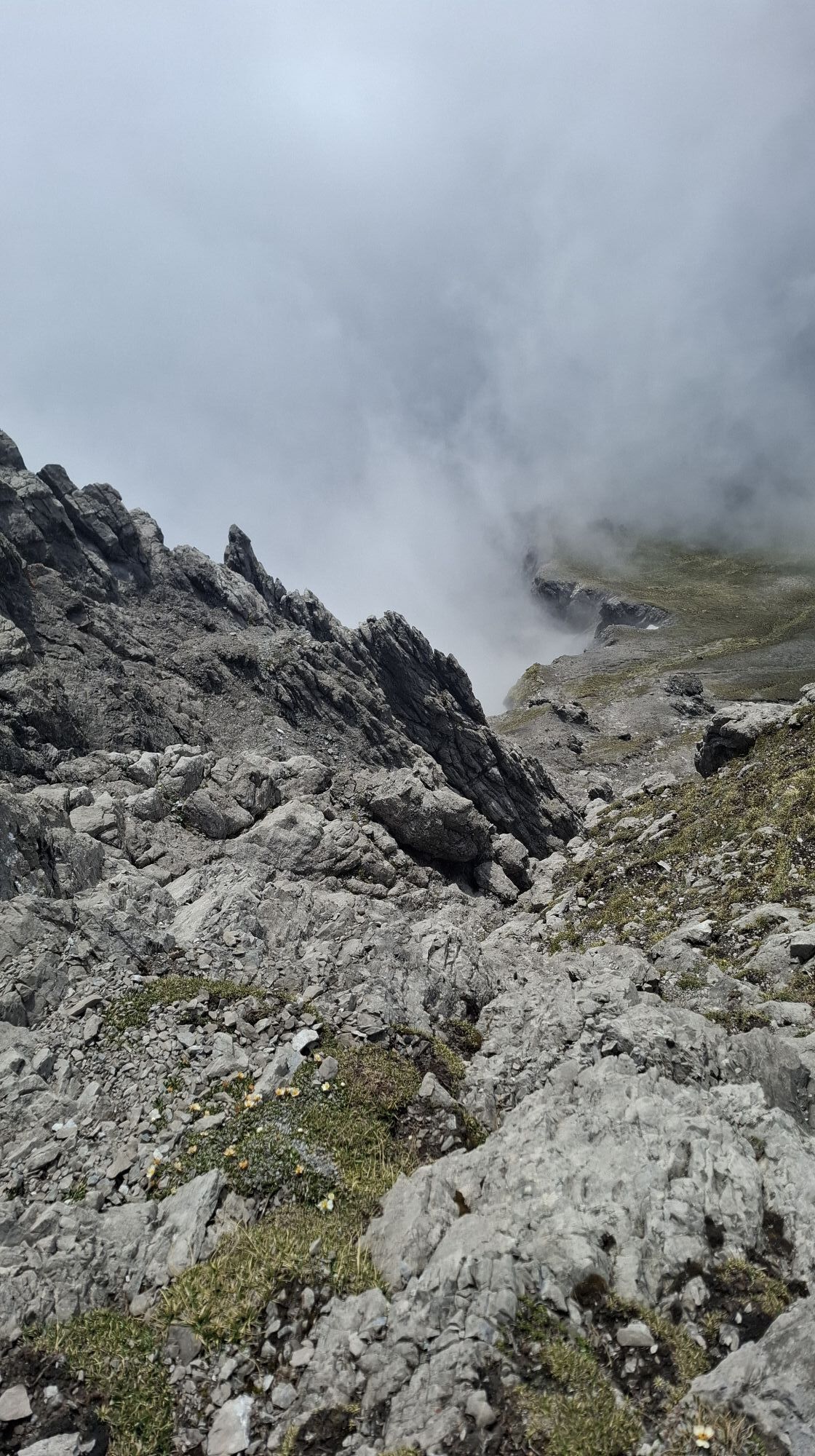
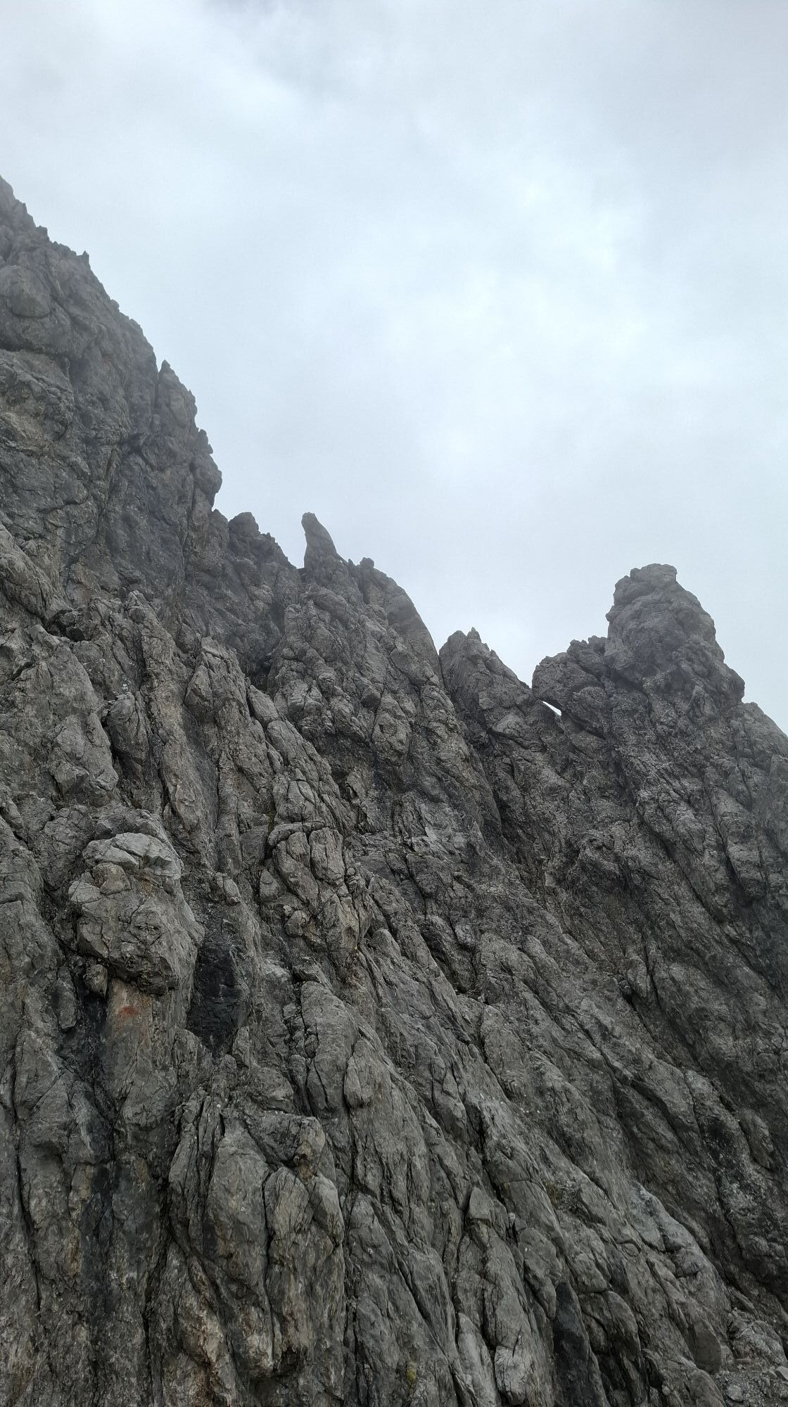
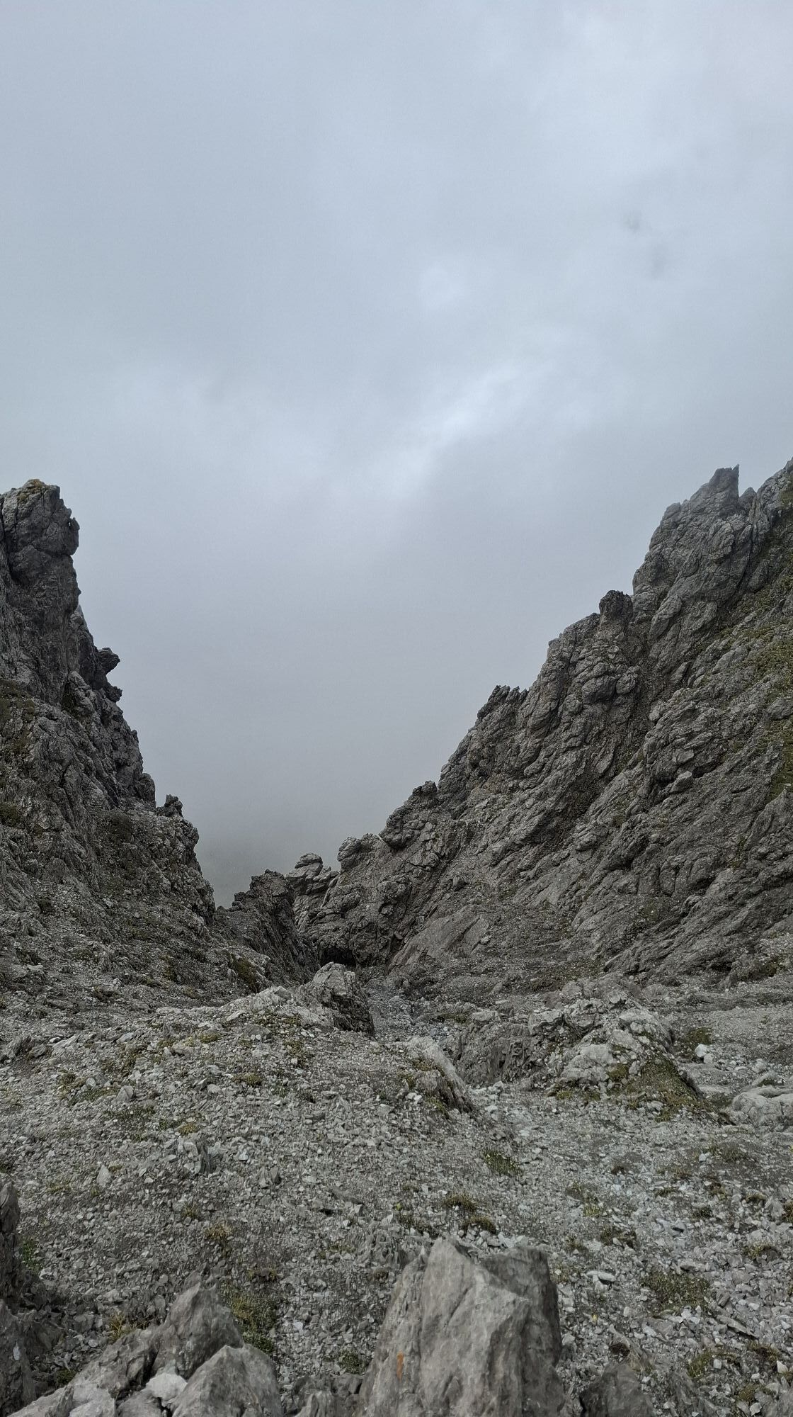
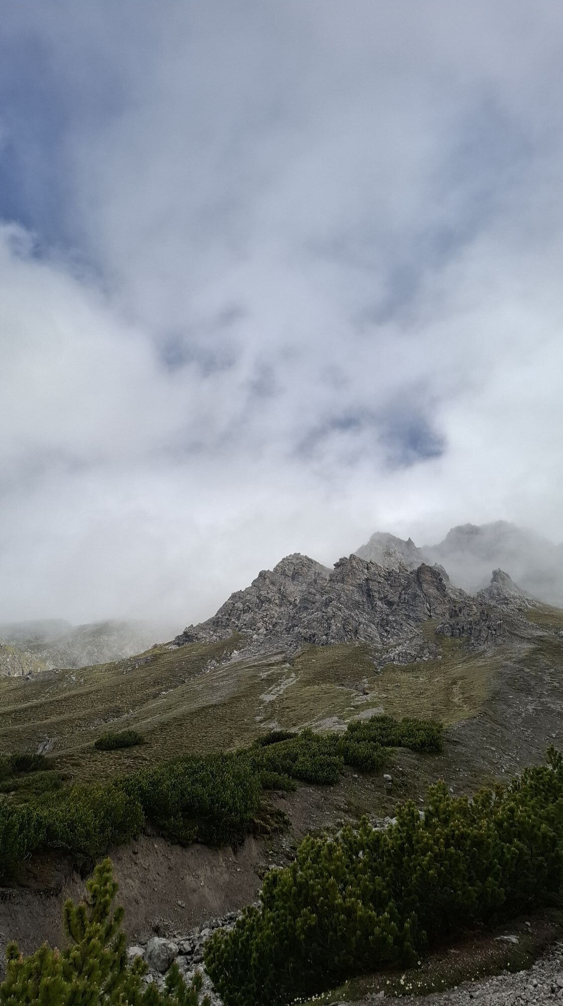
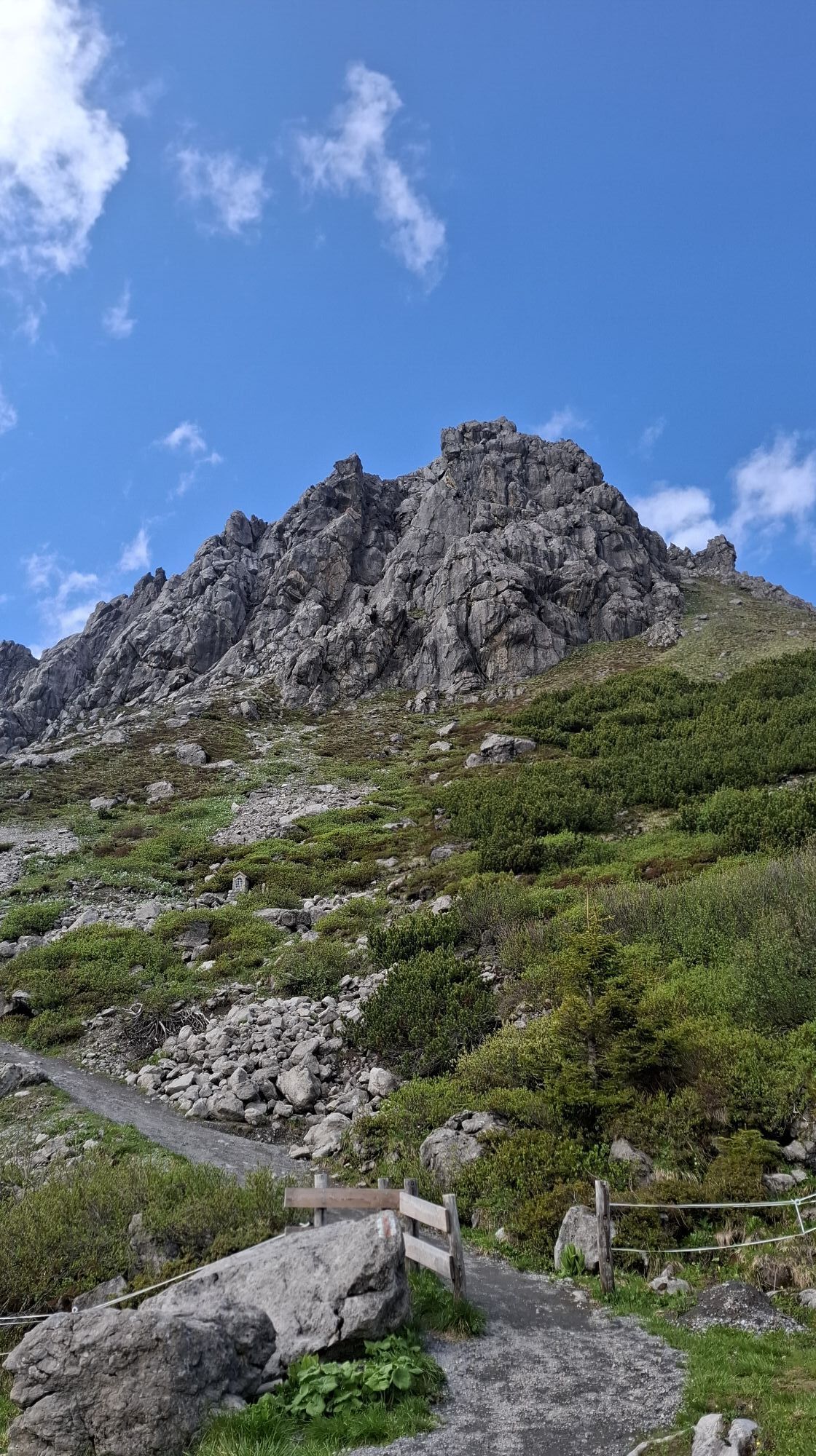

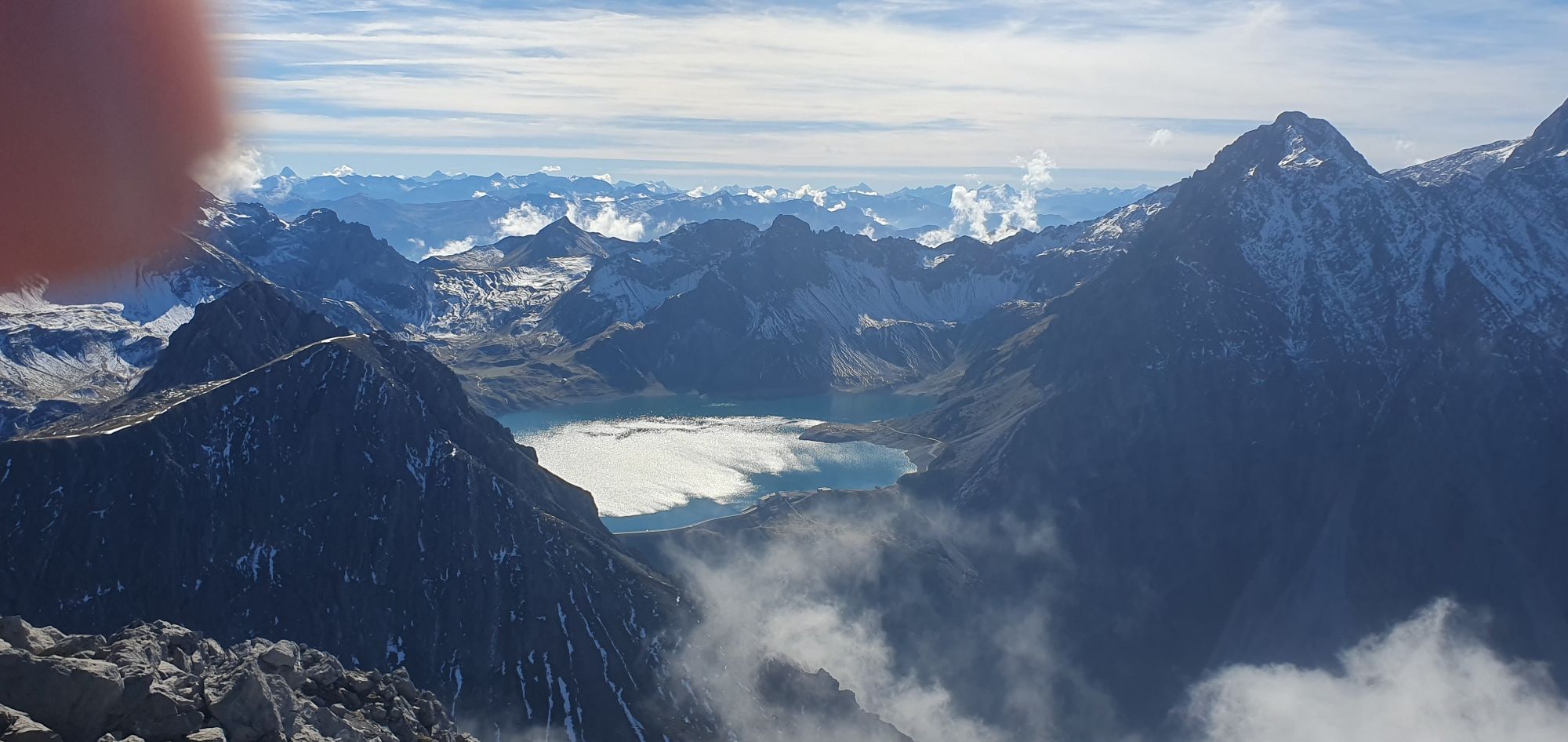
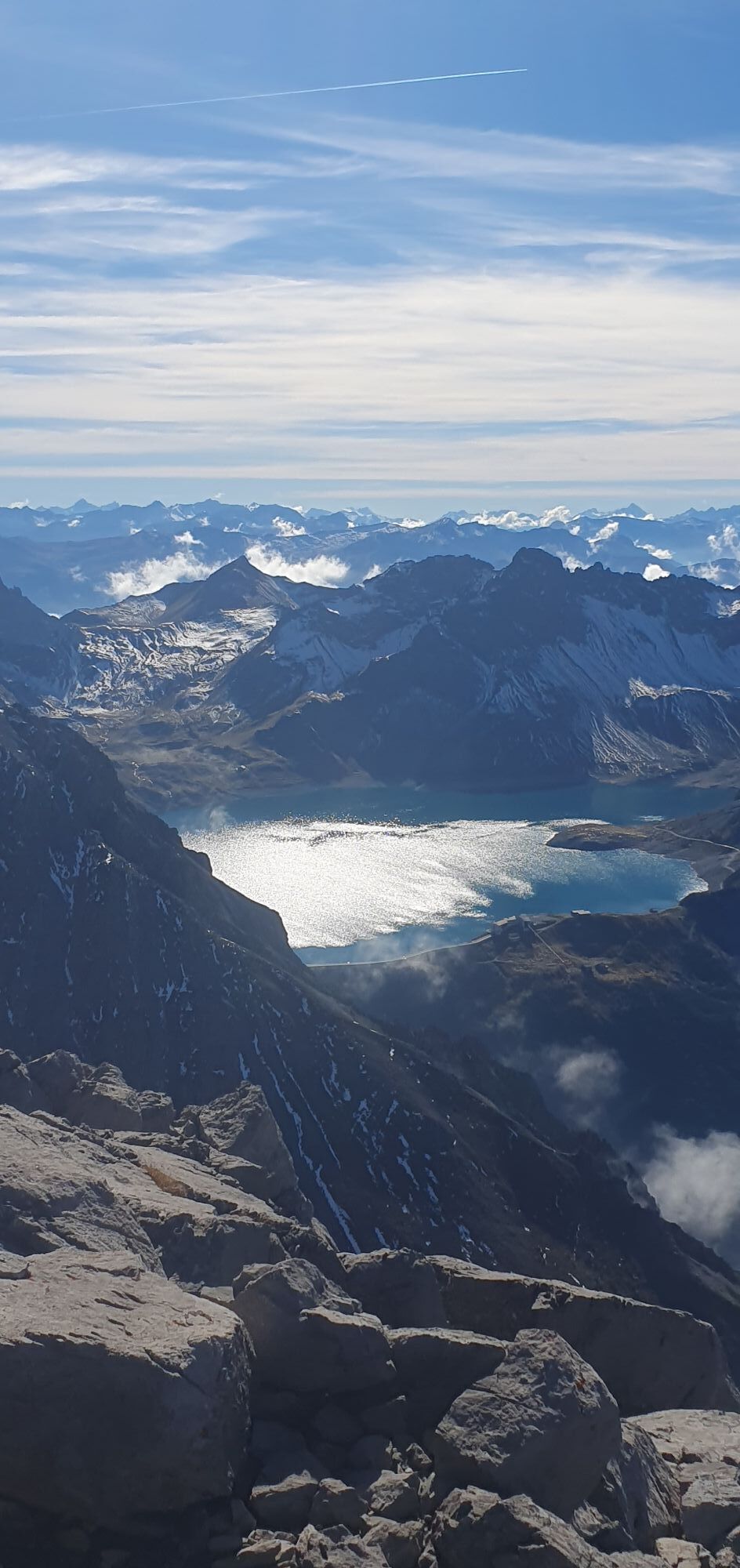
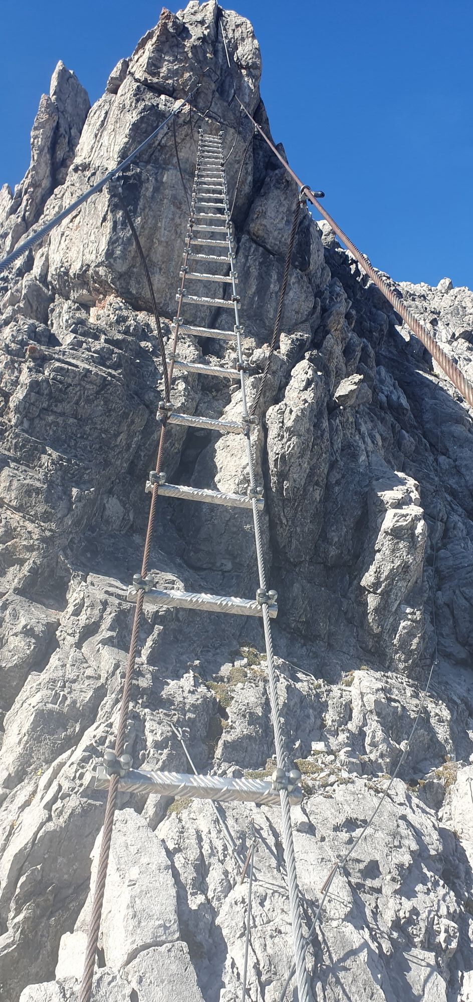
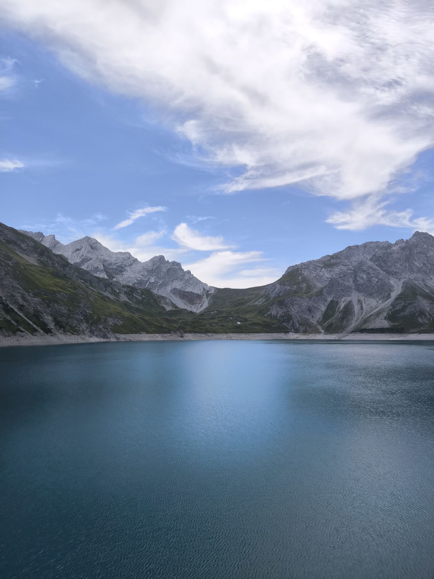
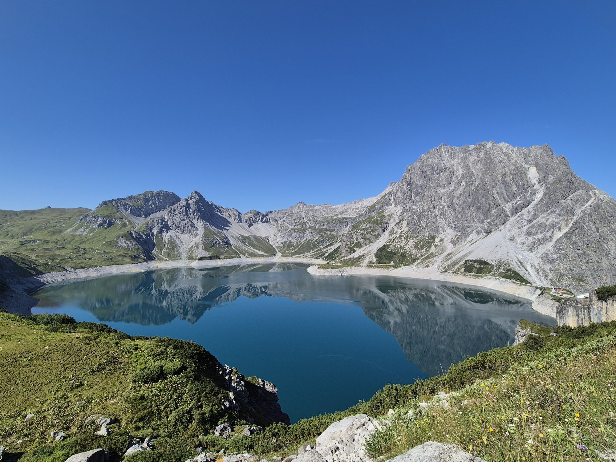
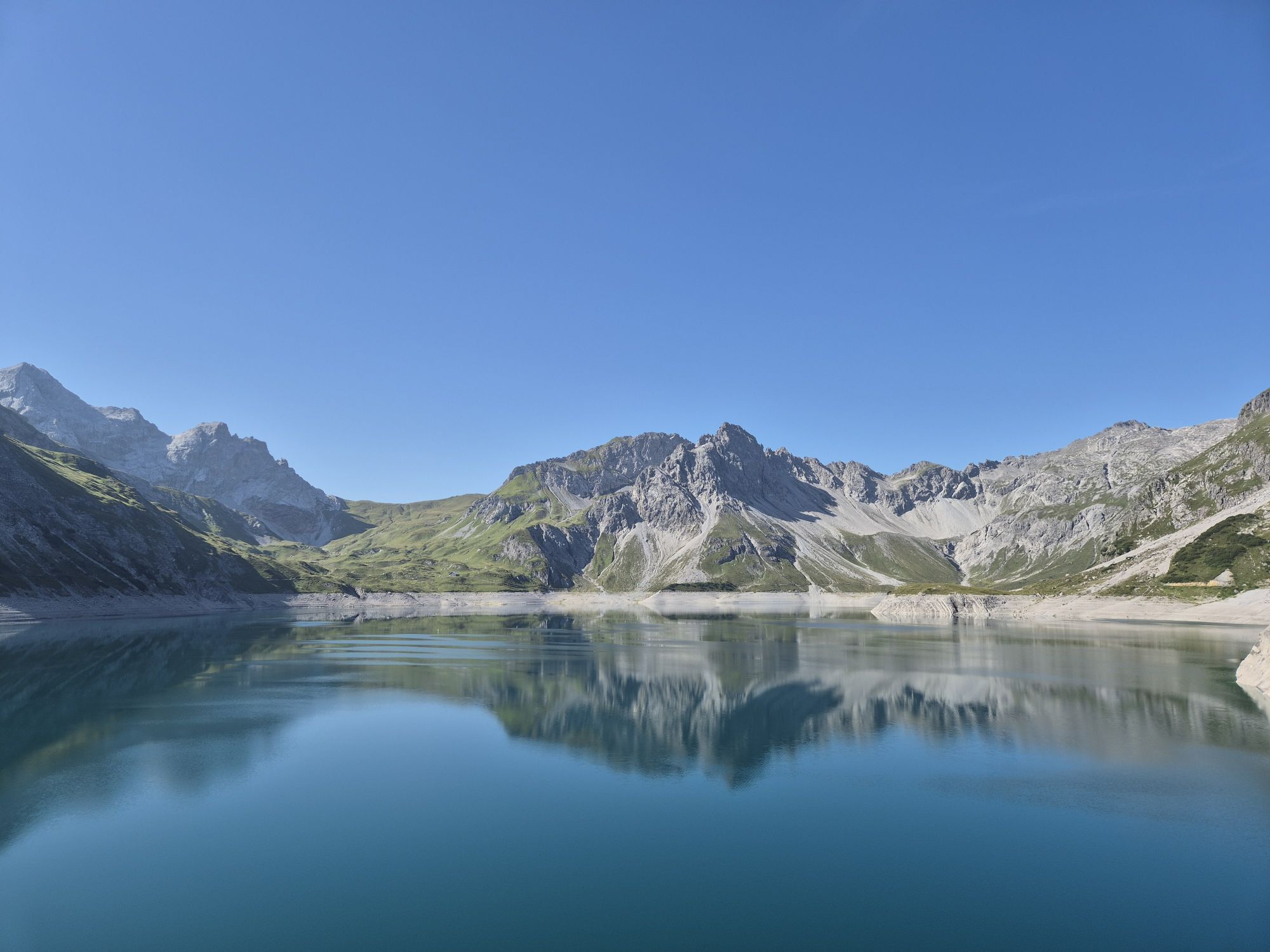
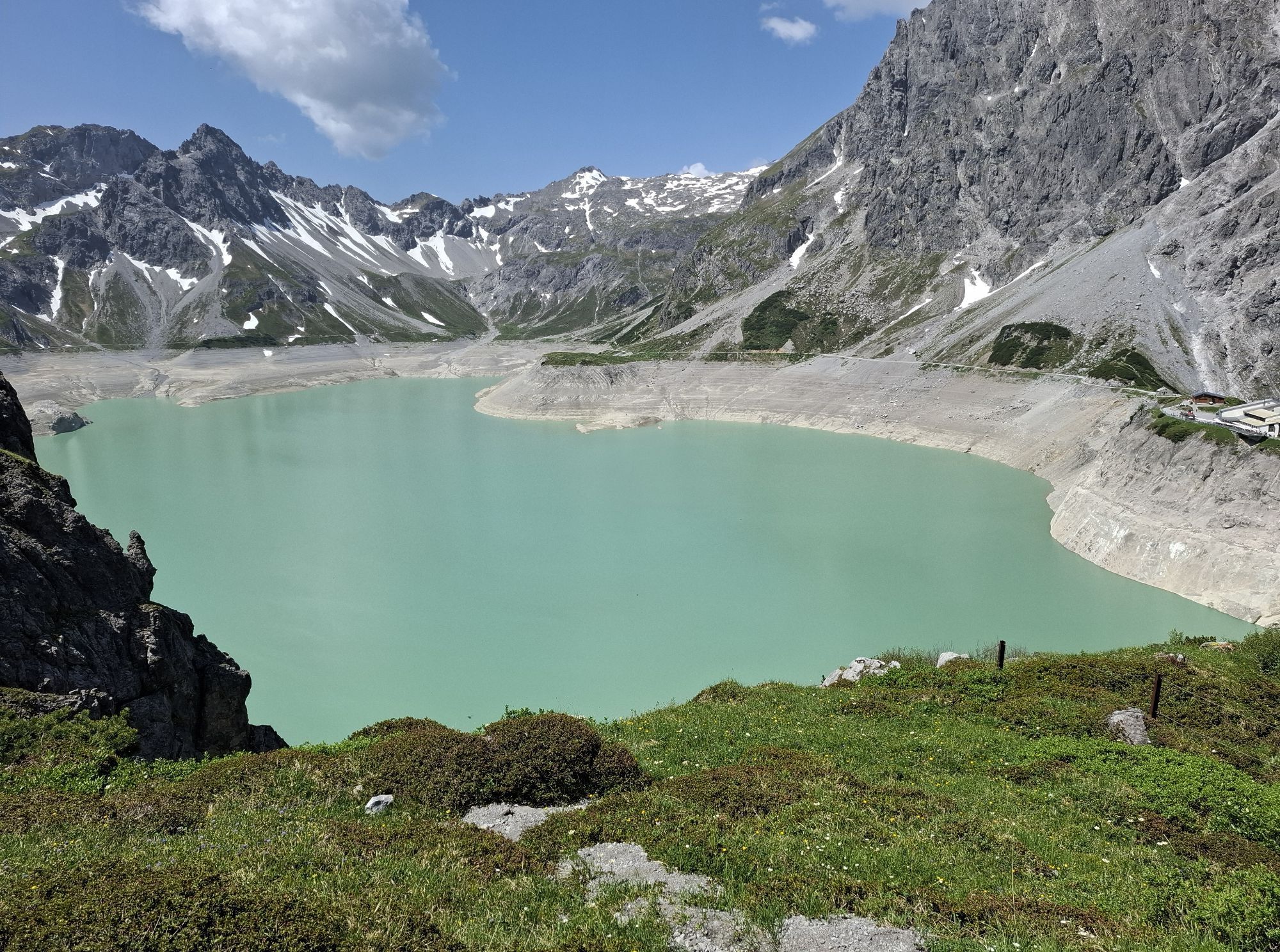
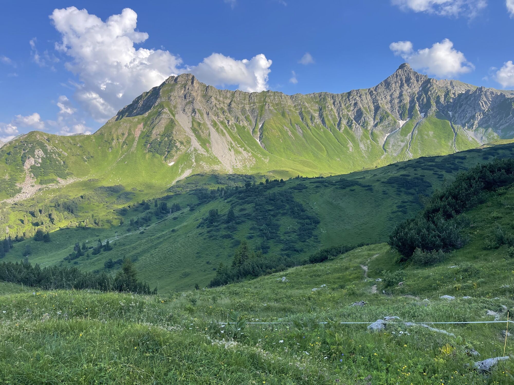
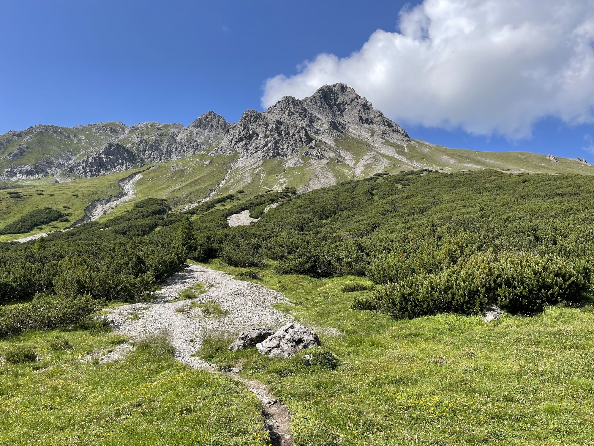

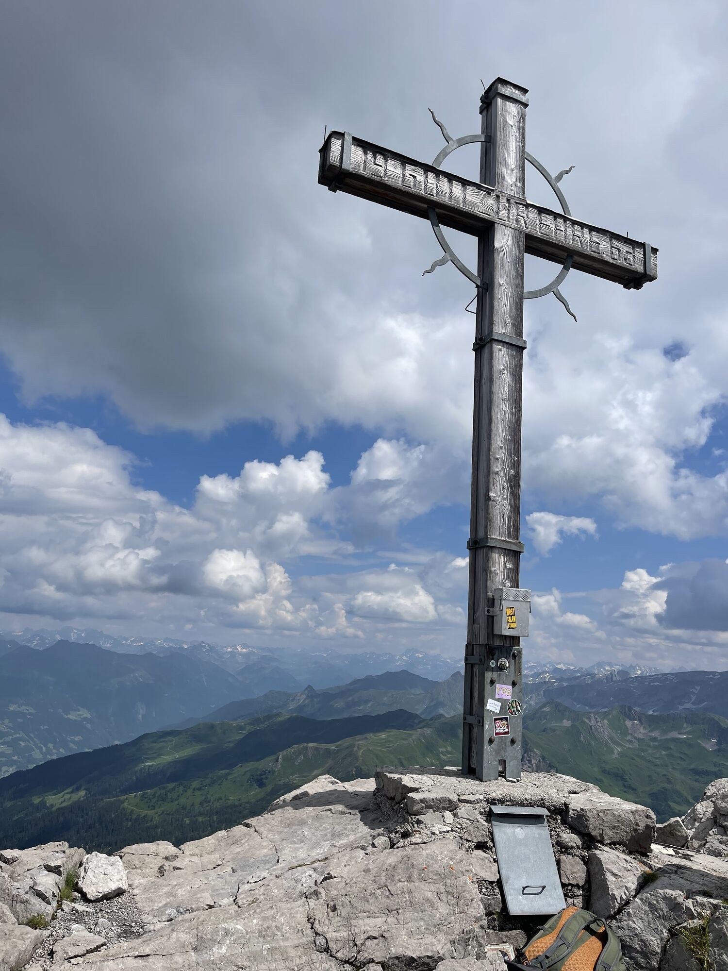
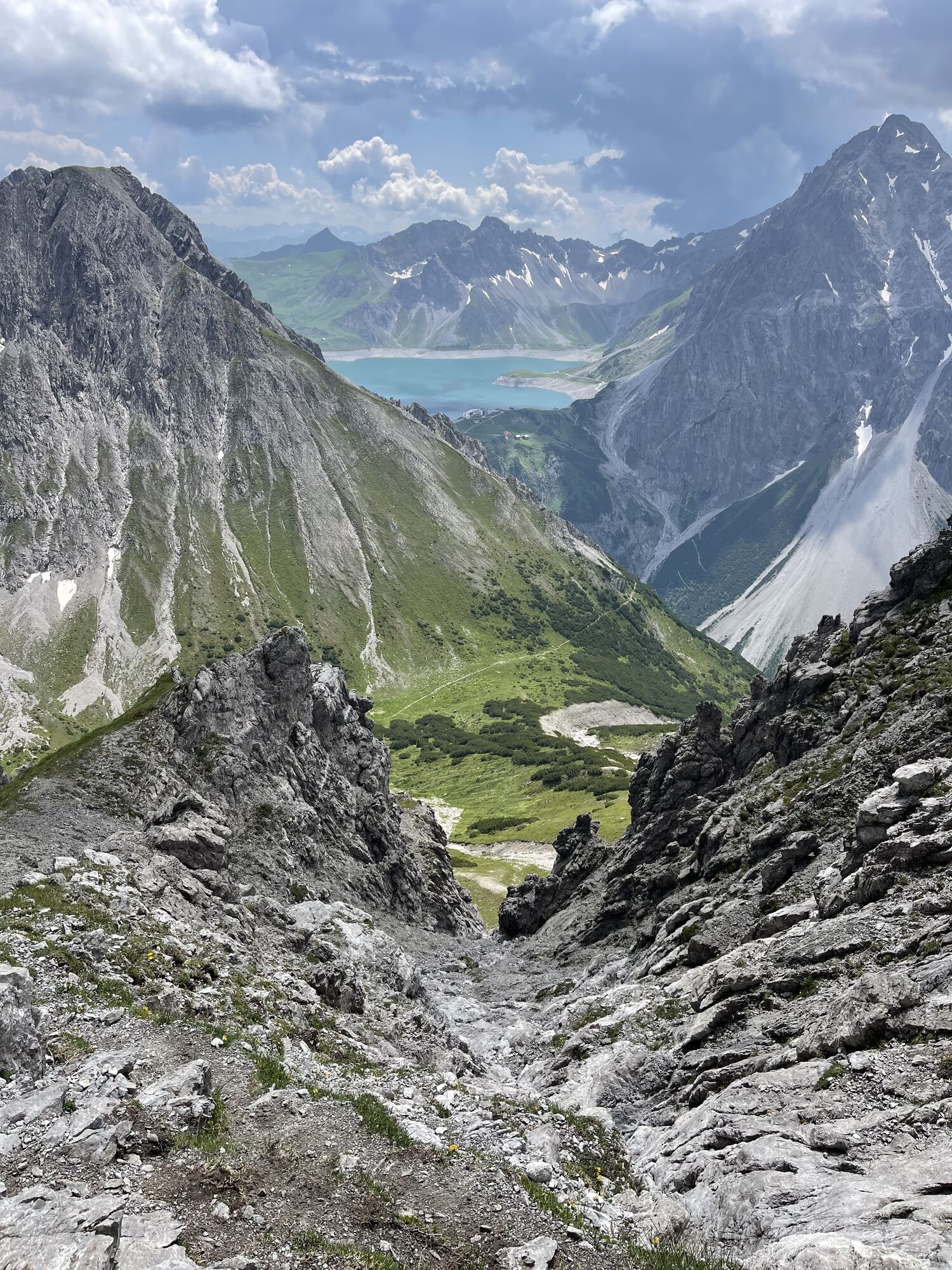
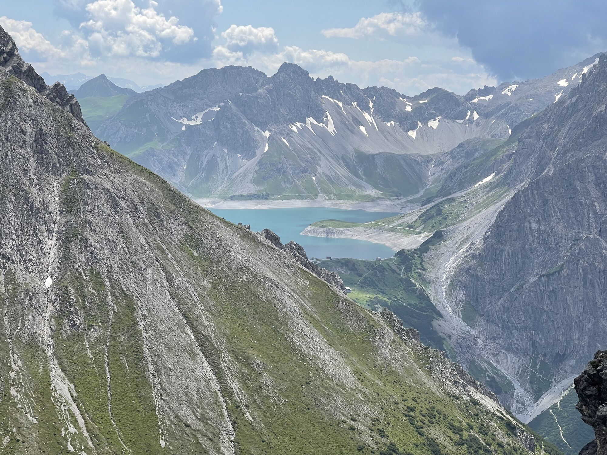
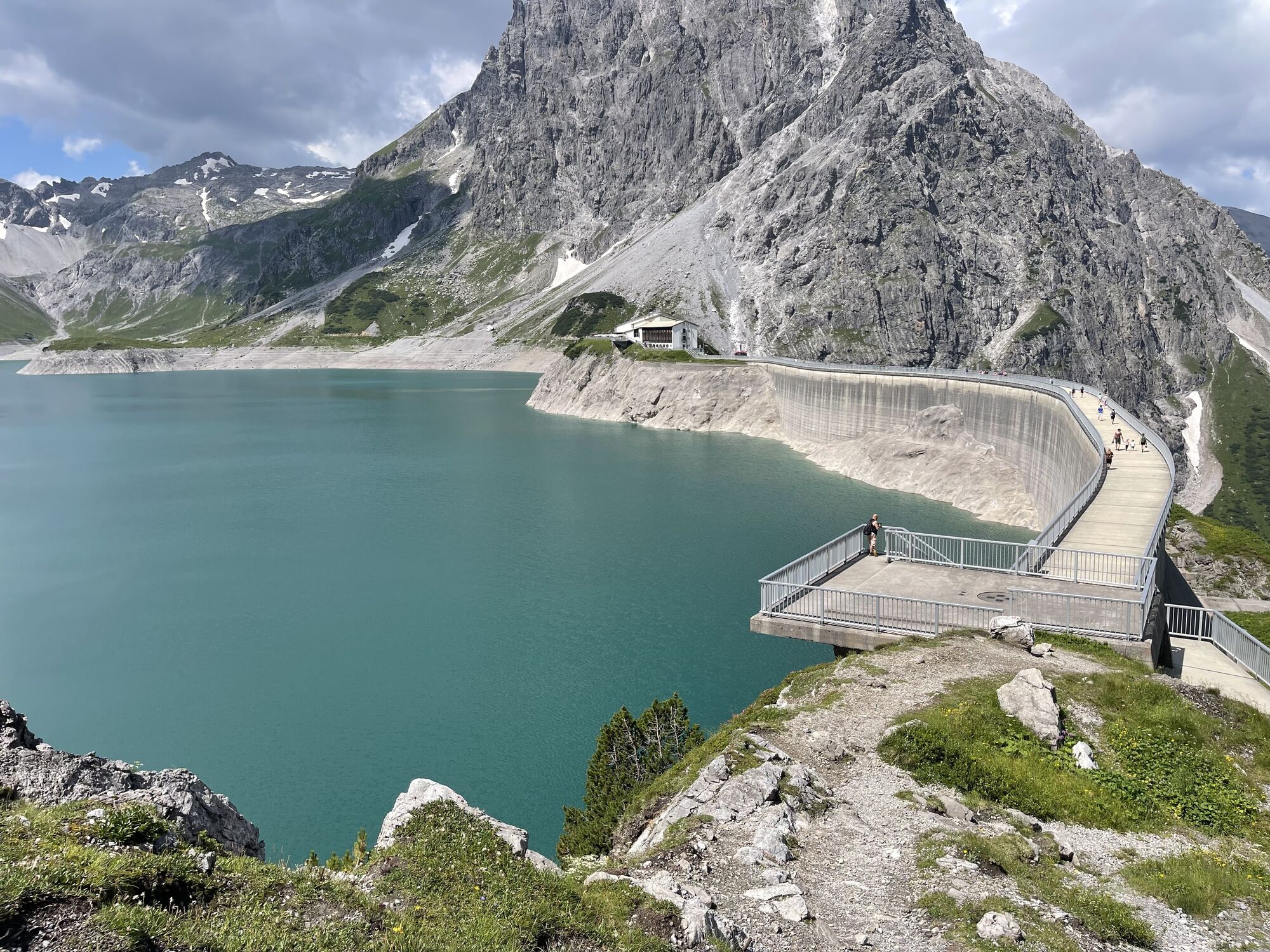
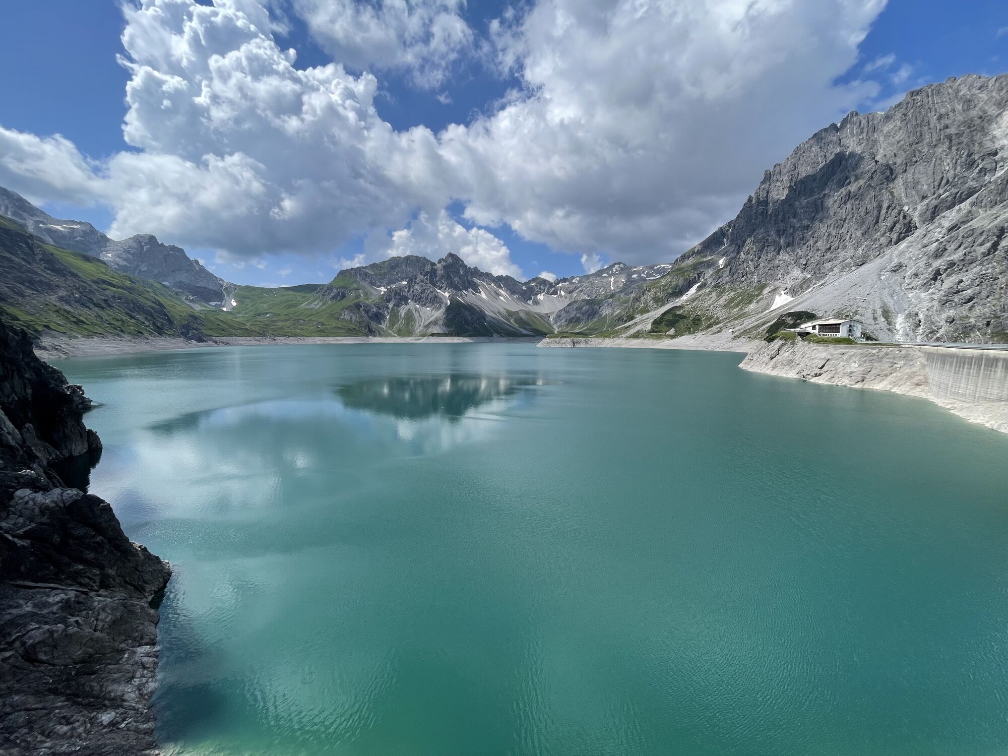
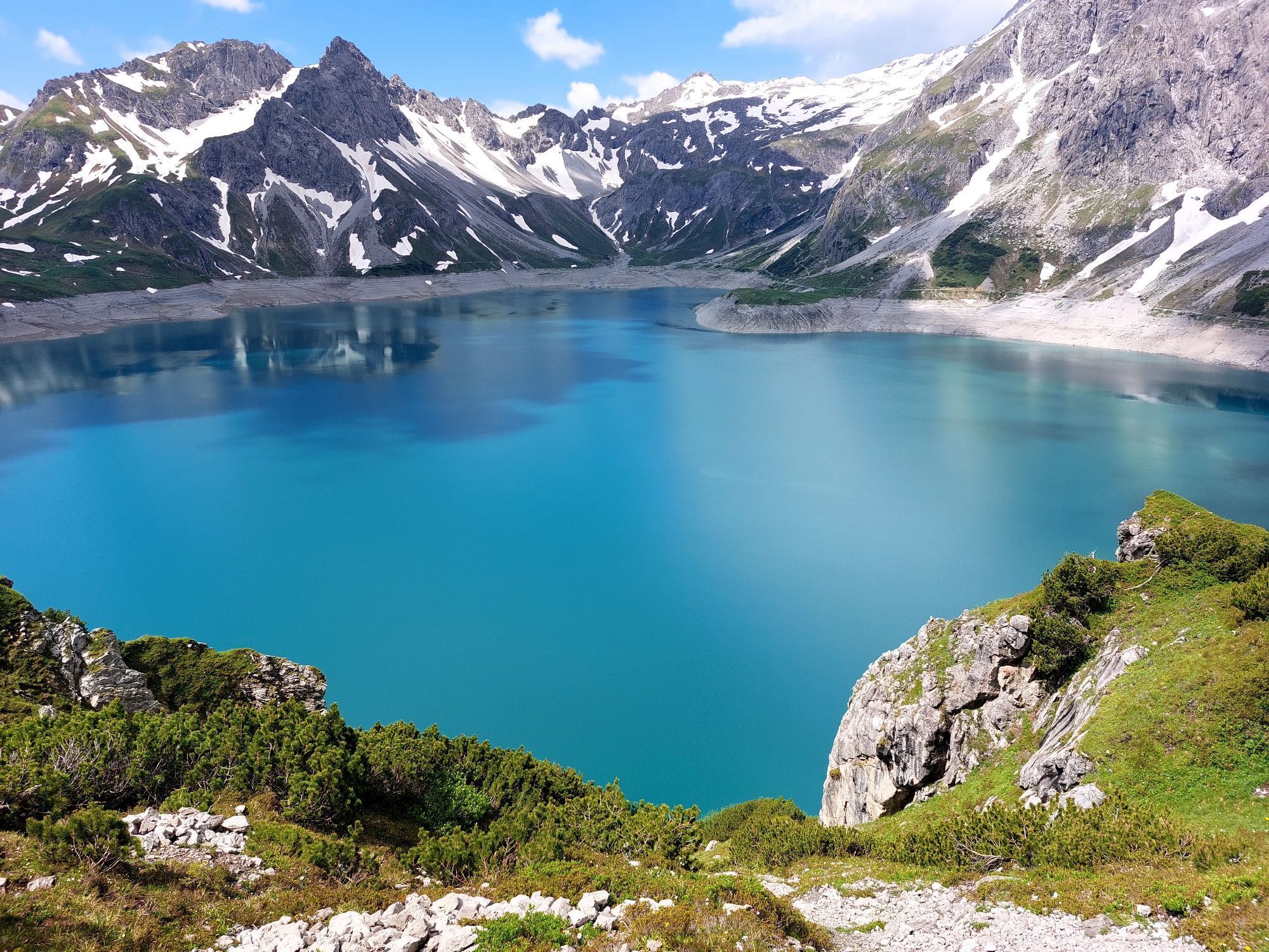
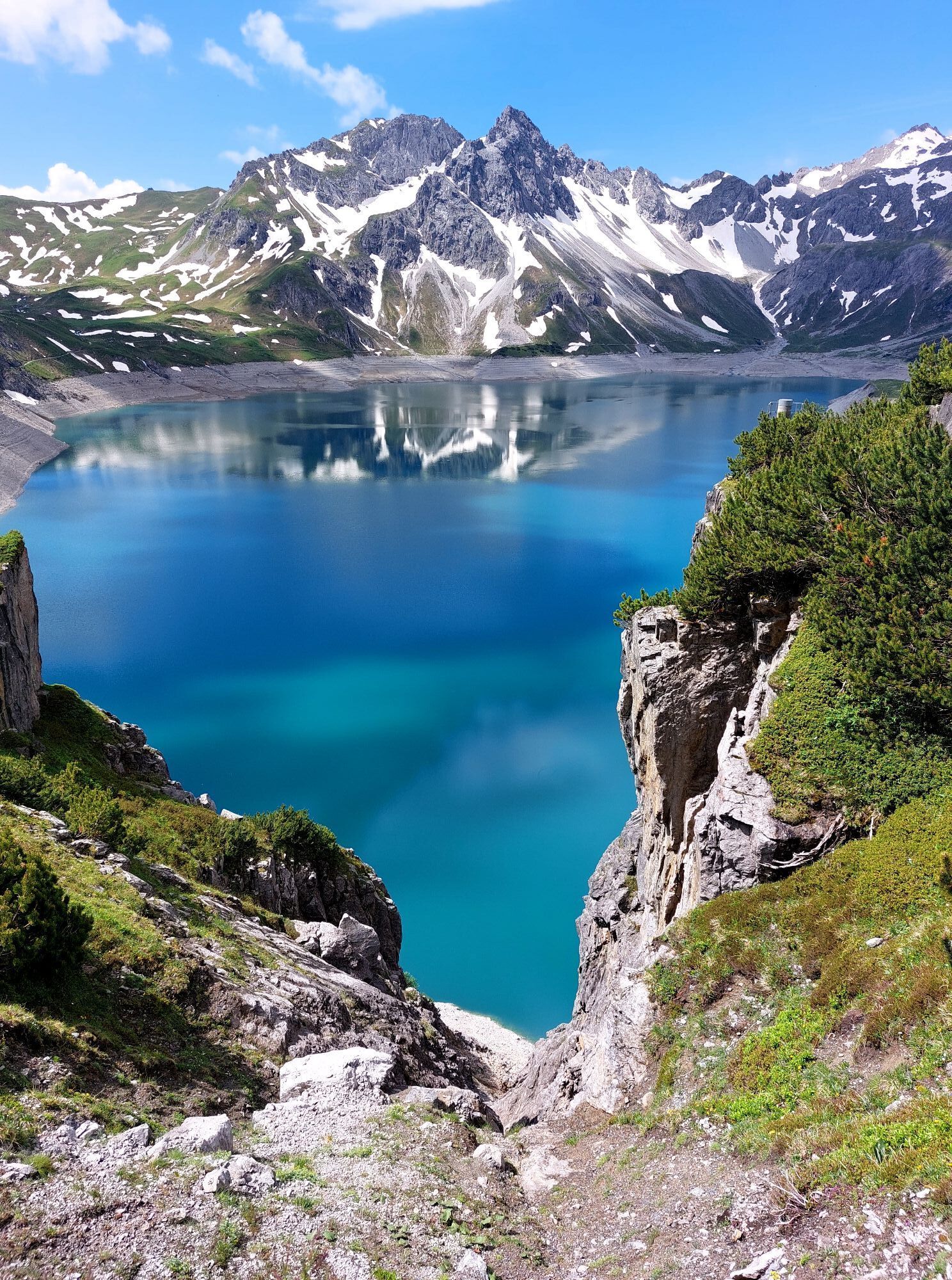
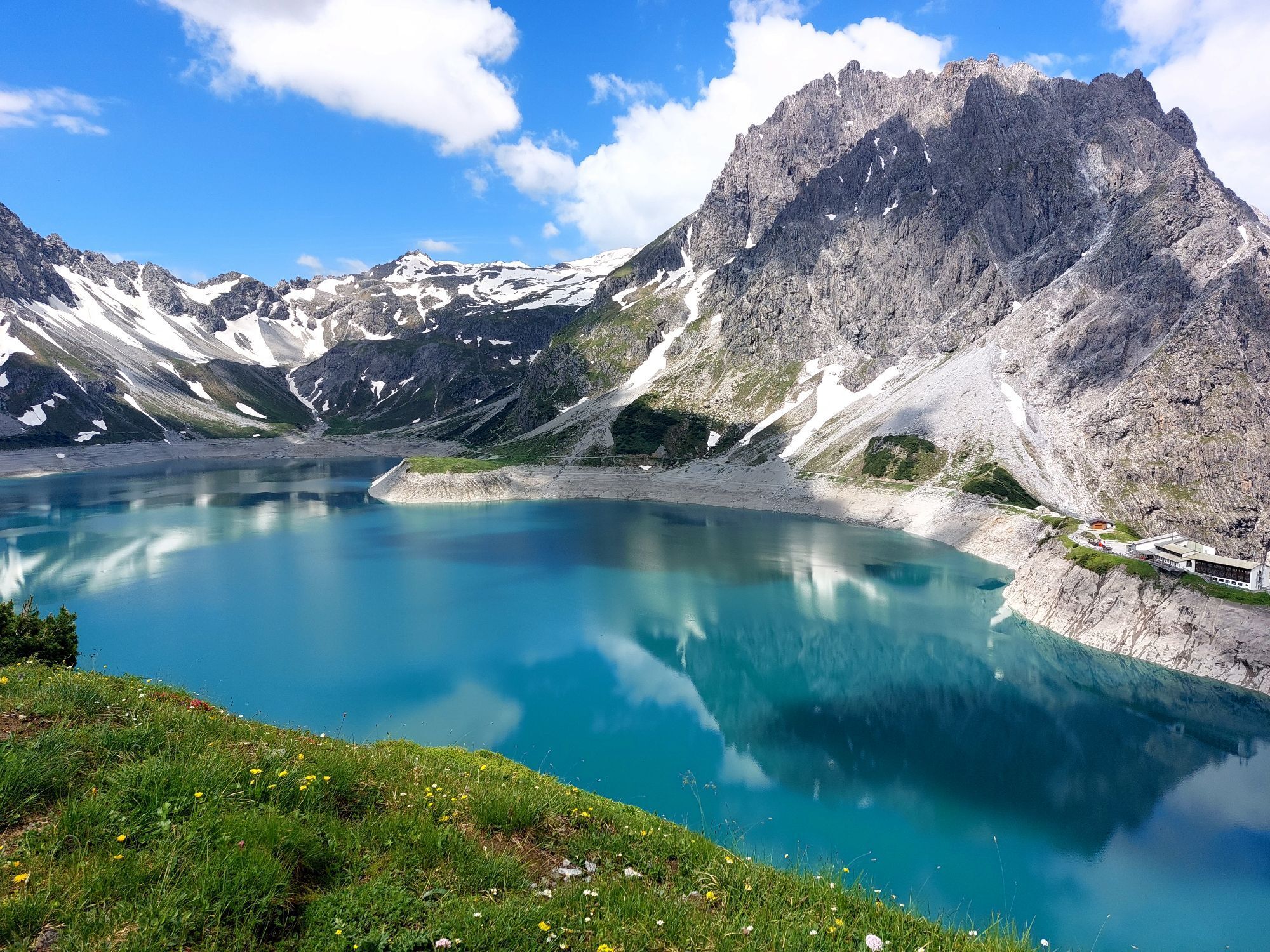
Scenic peak. The Saulajoch path is partly secured with wire cables (alpine route), sure-footedness and freedom from dizziness required

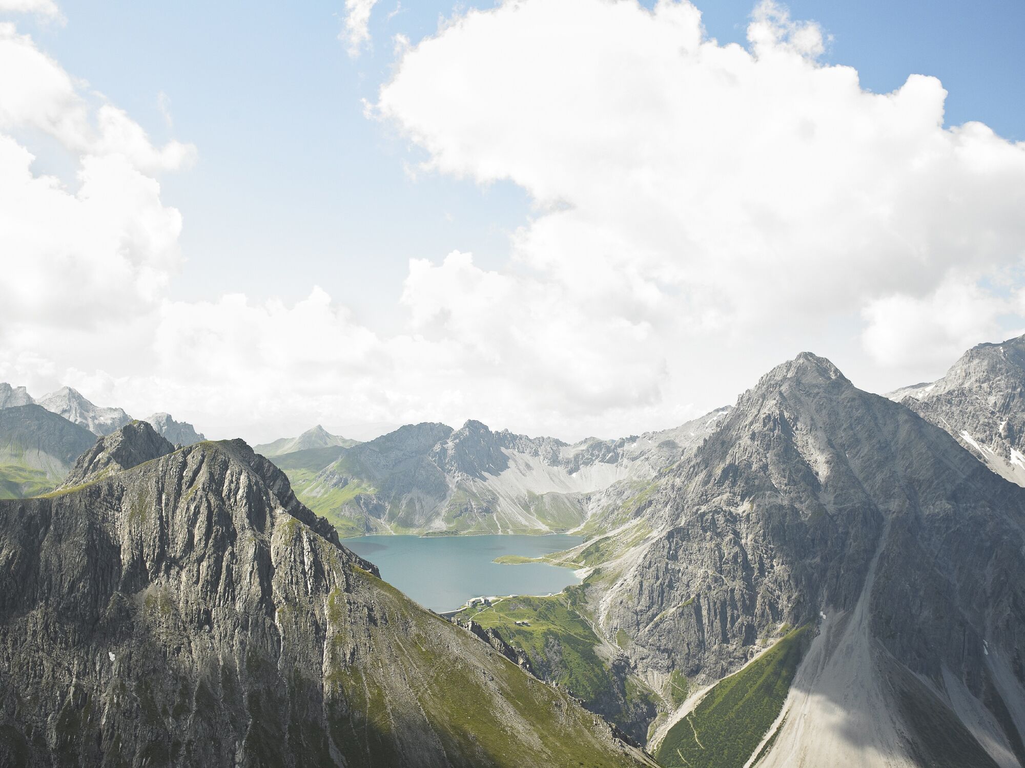
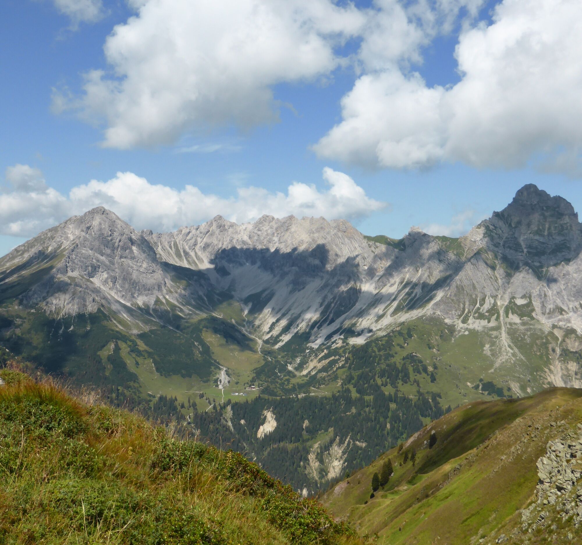
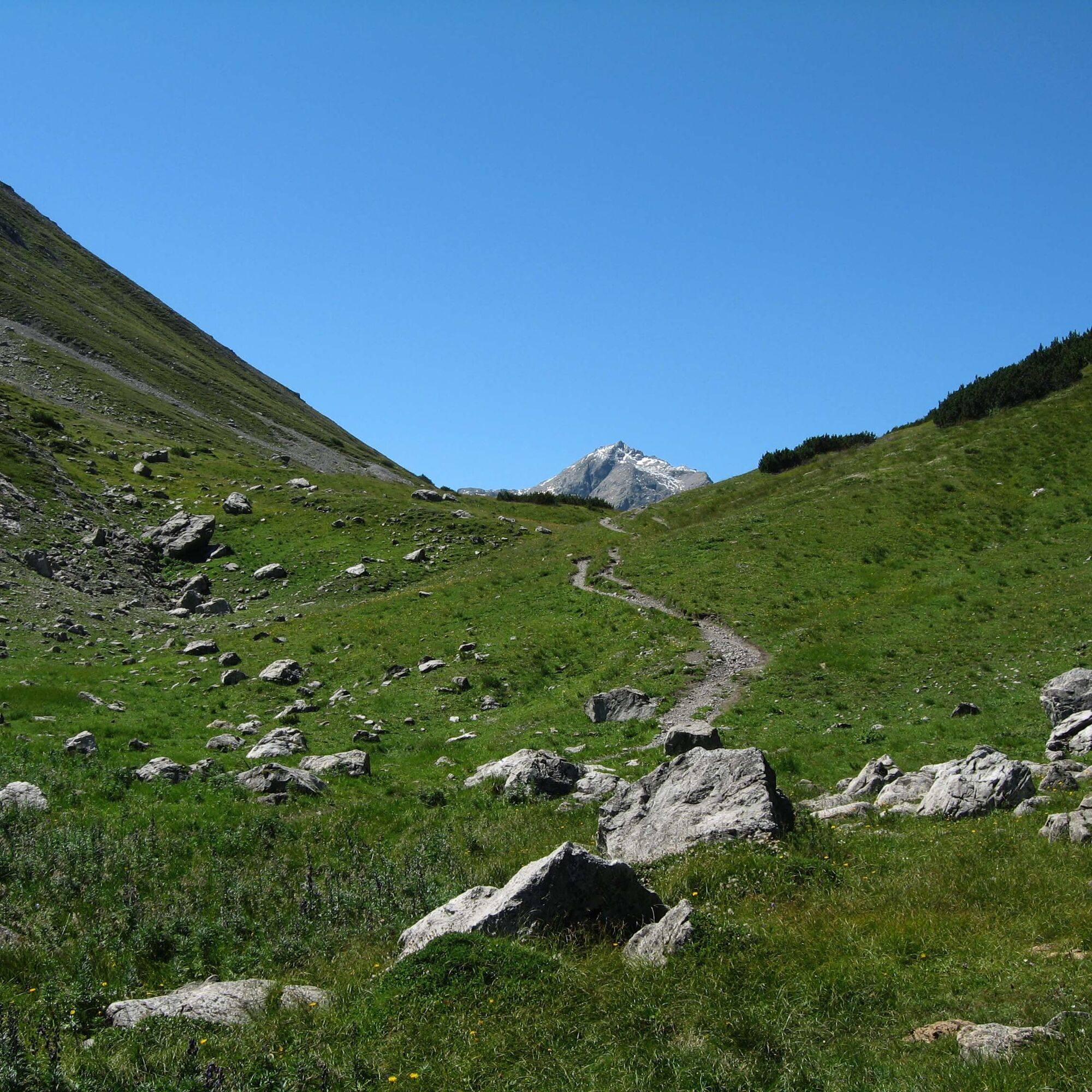
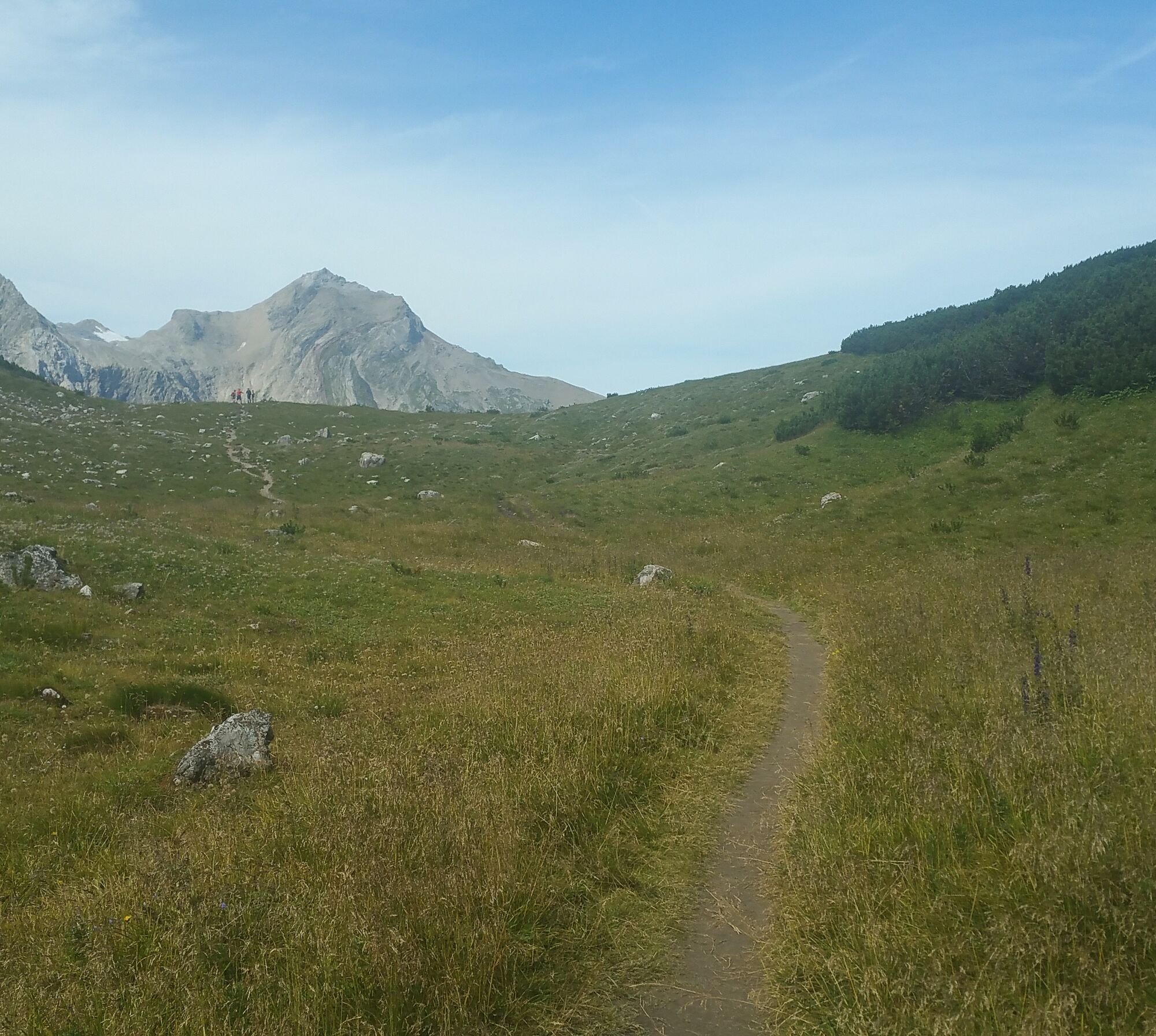
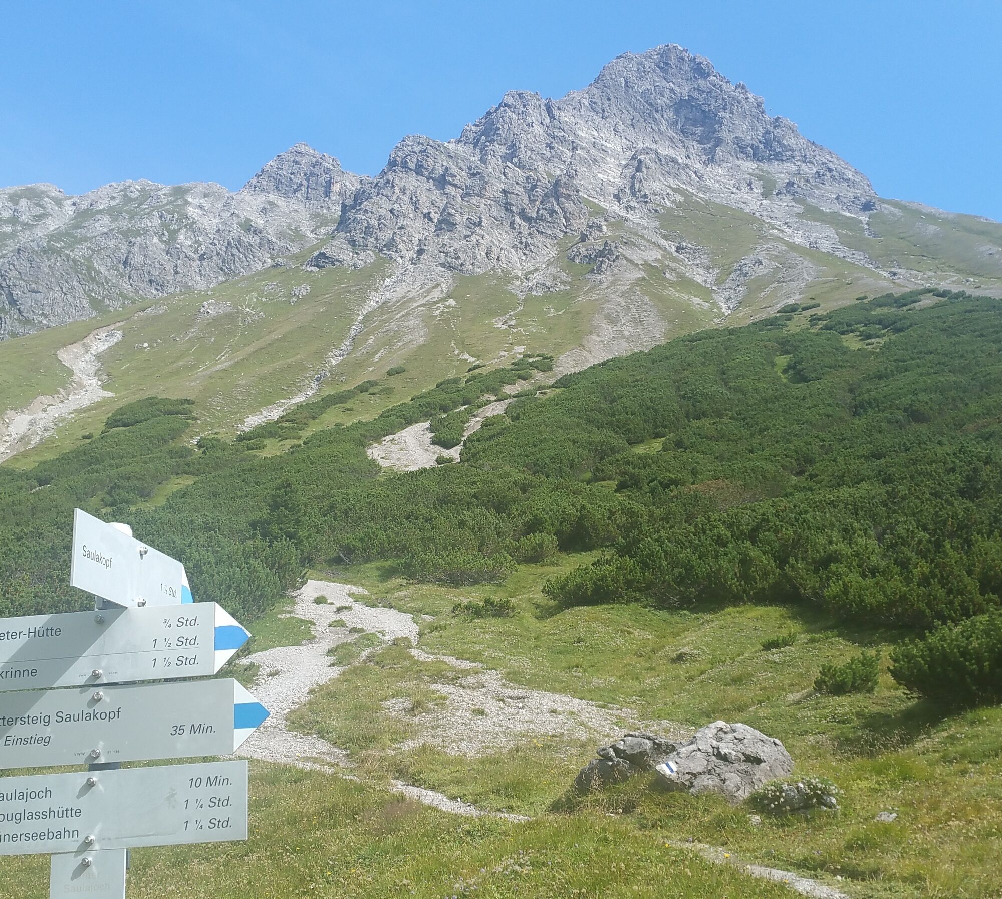
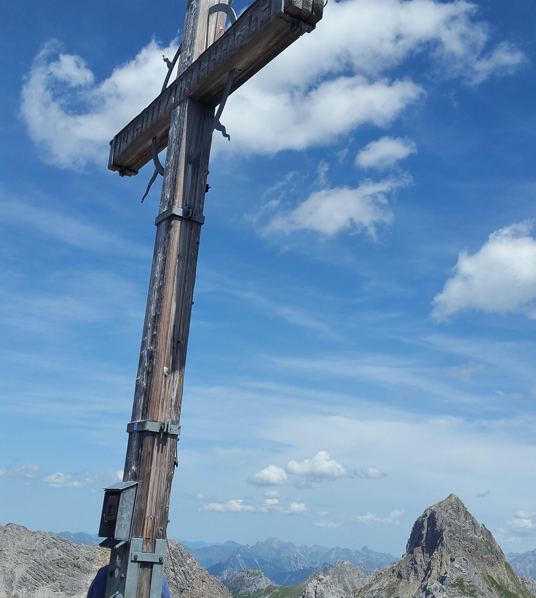
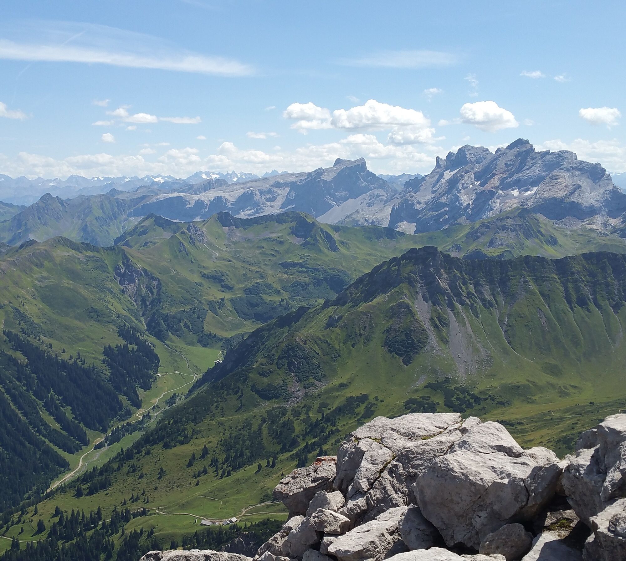
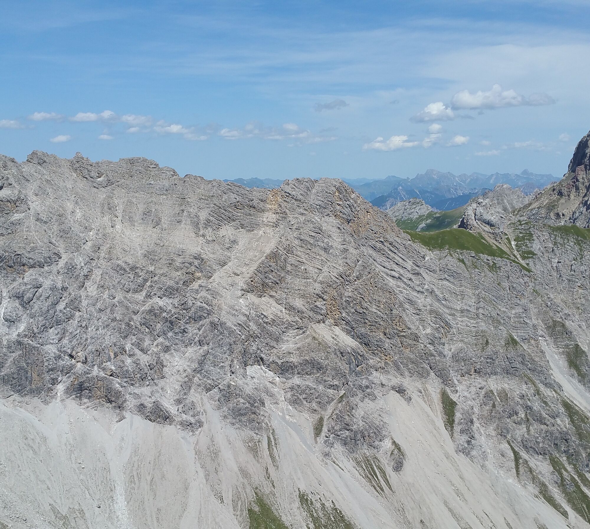

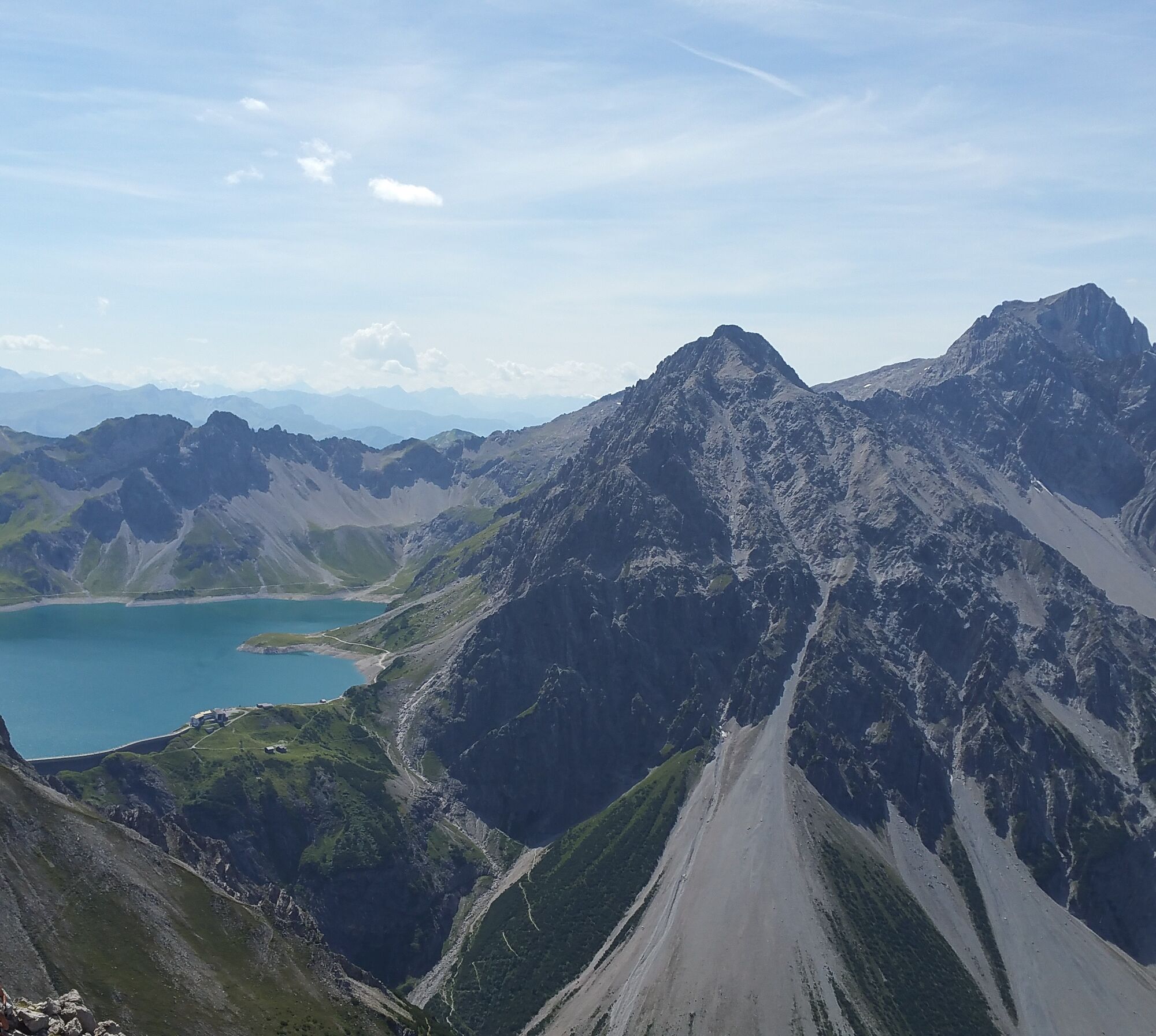
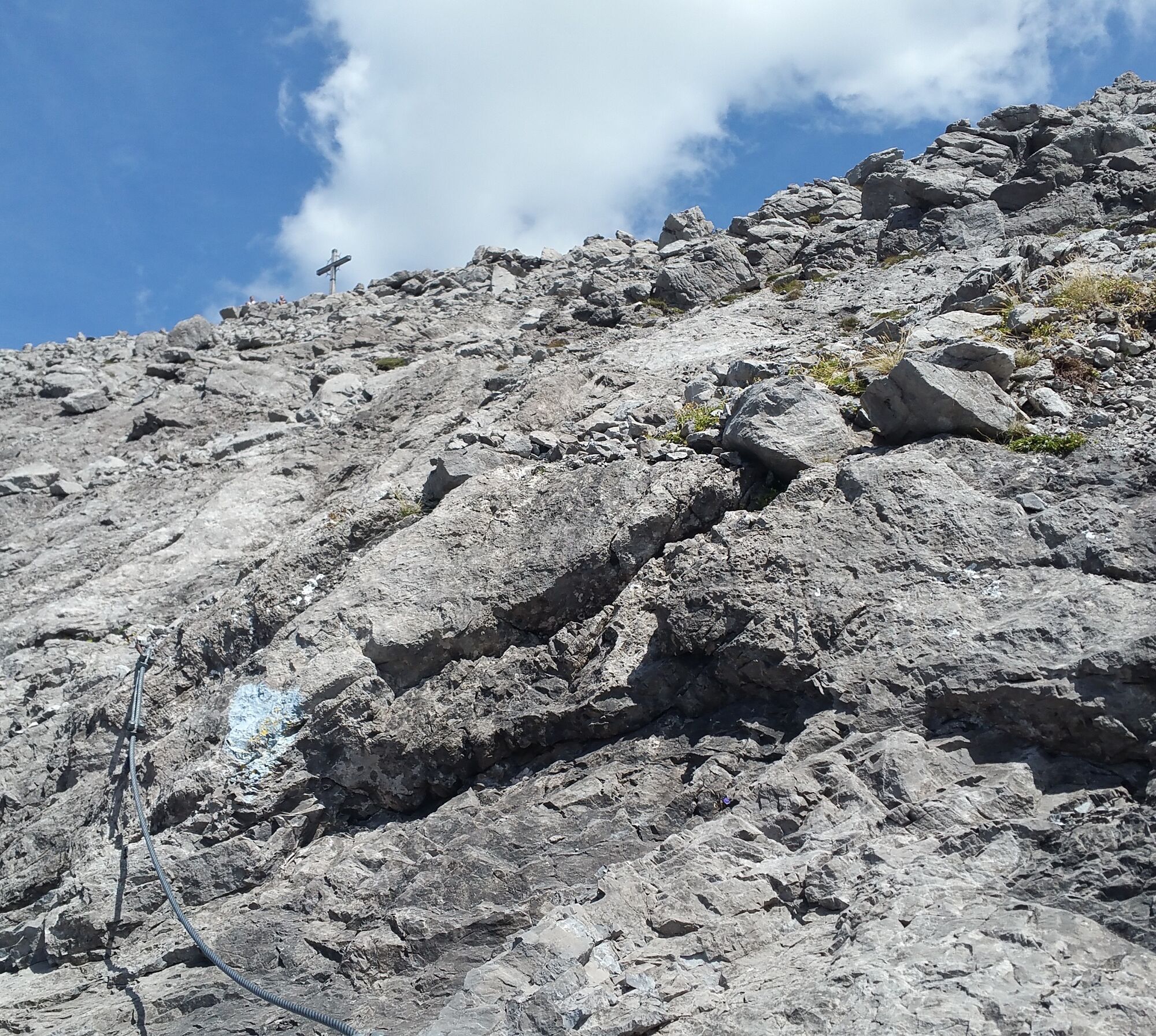
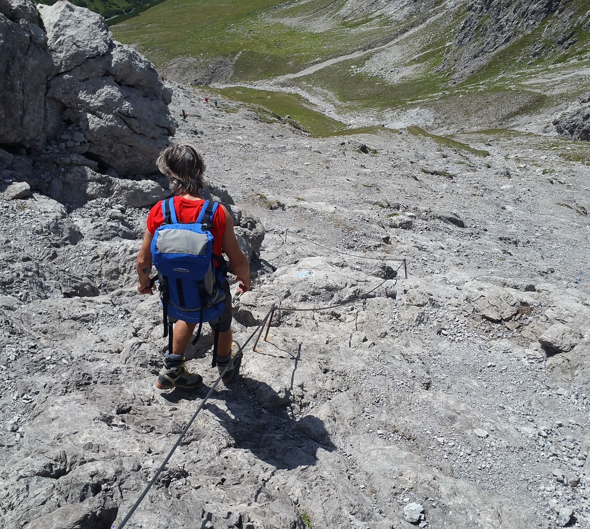
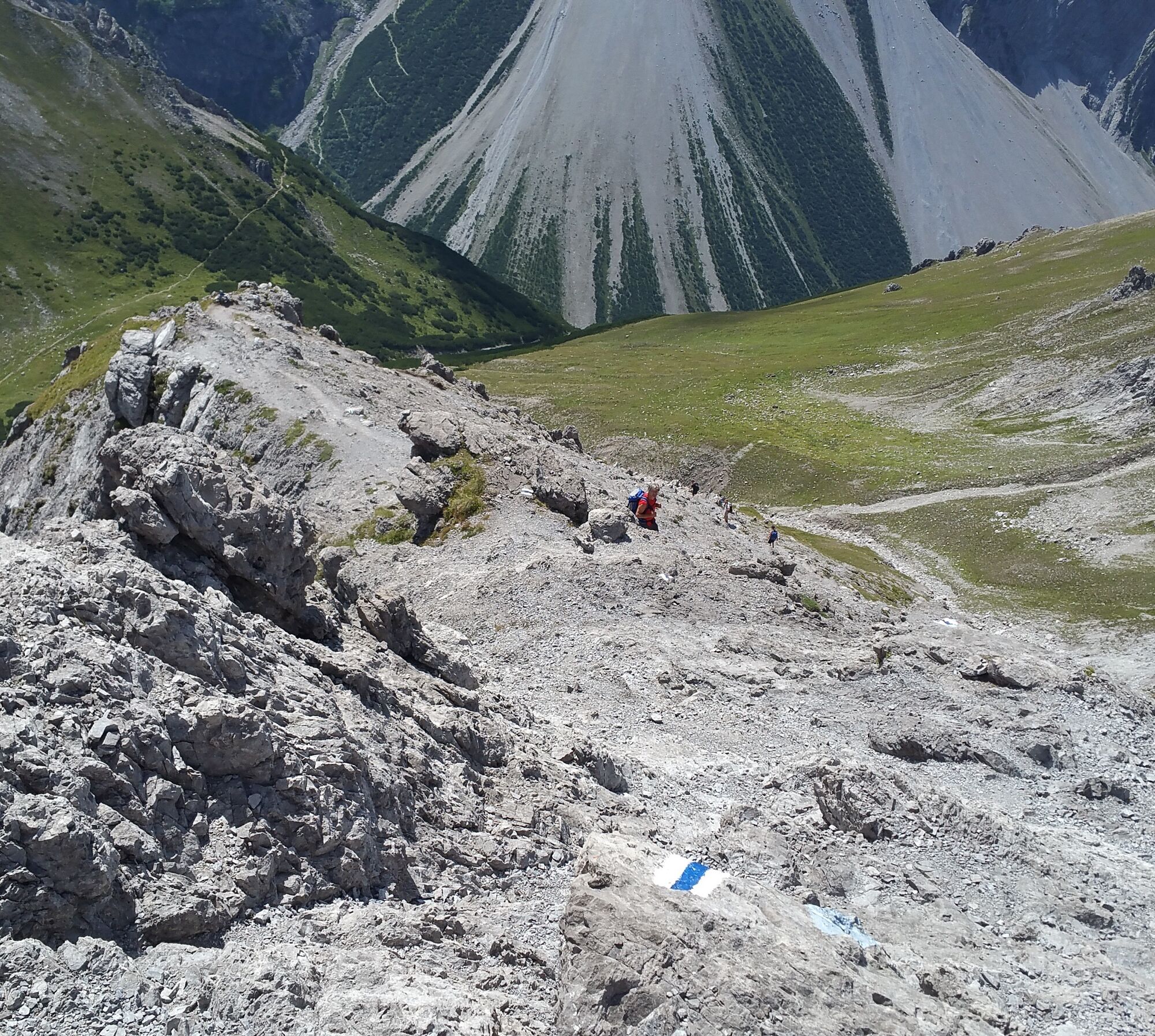

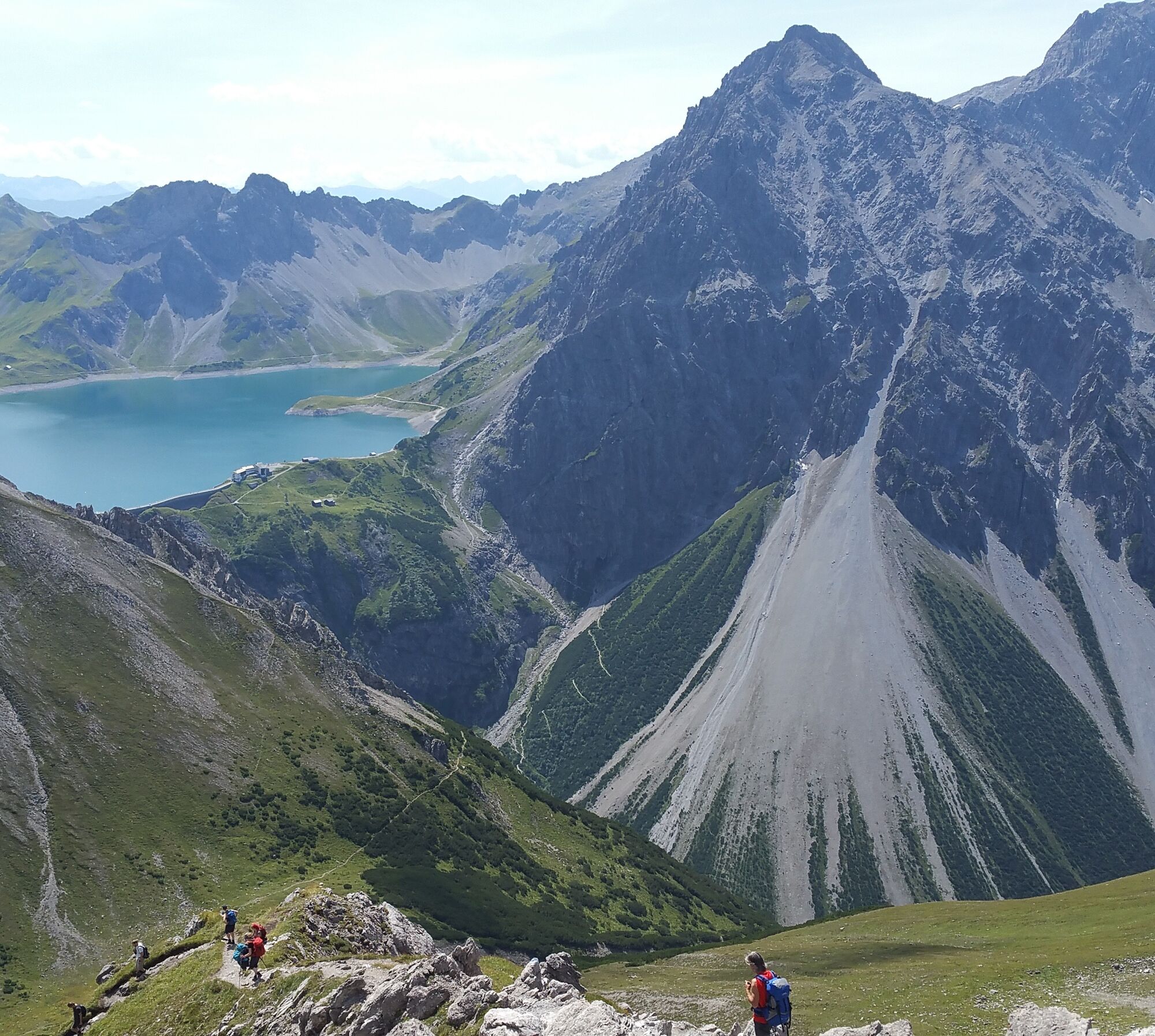

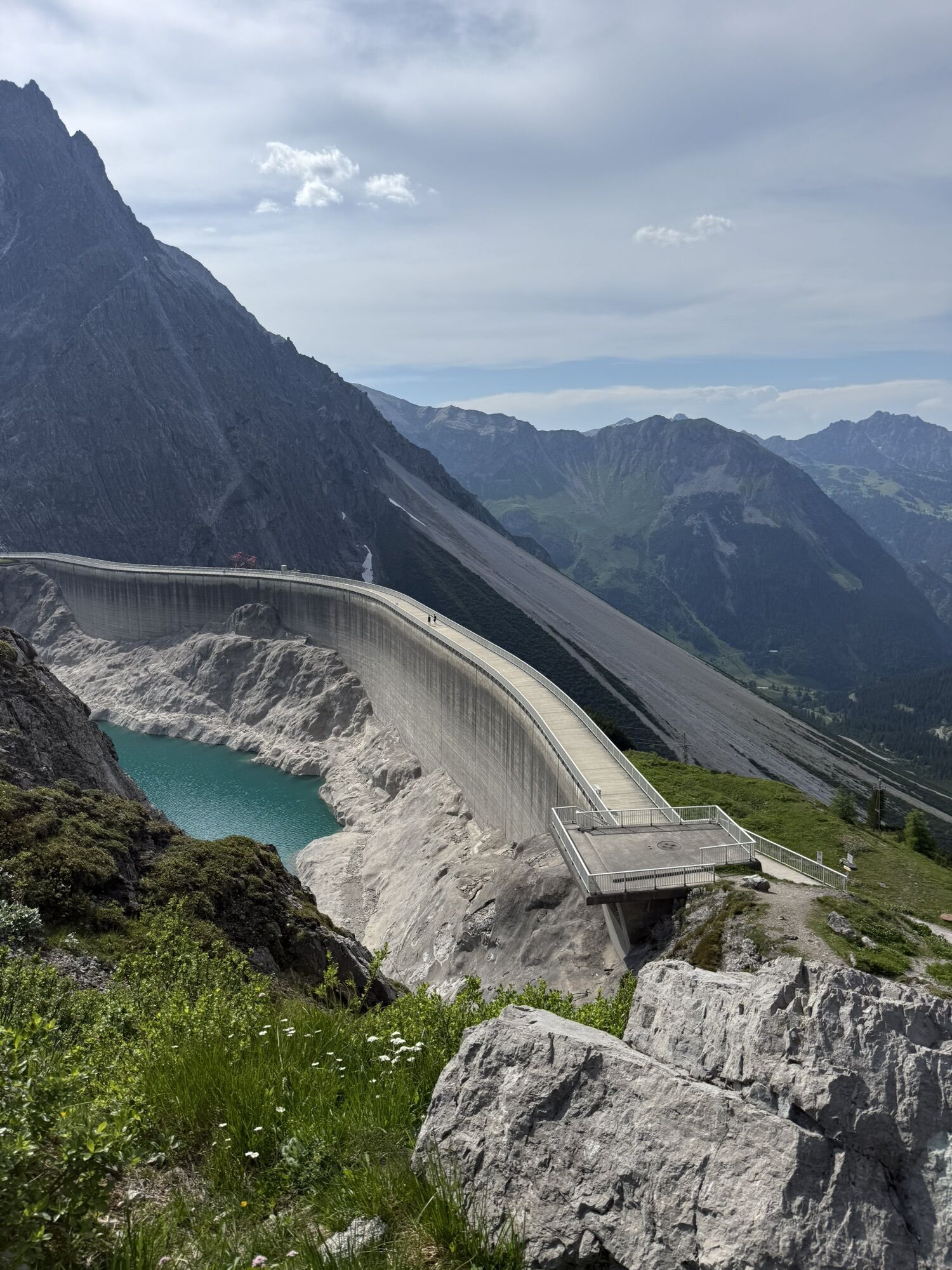
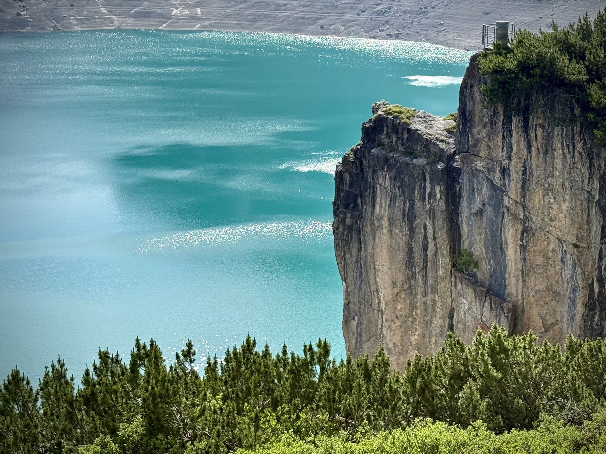
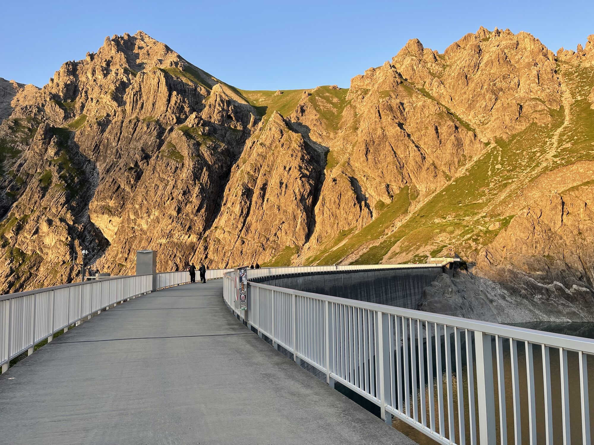
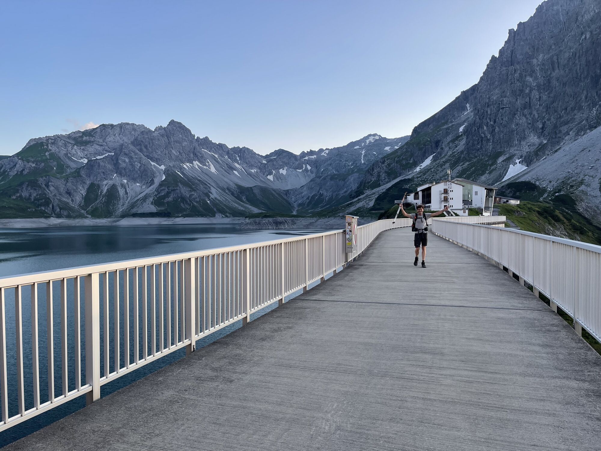
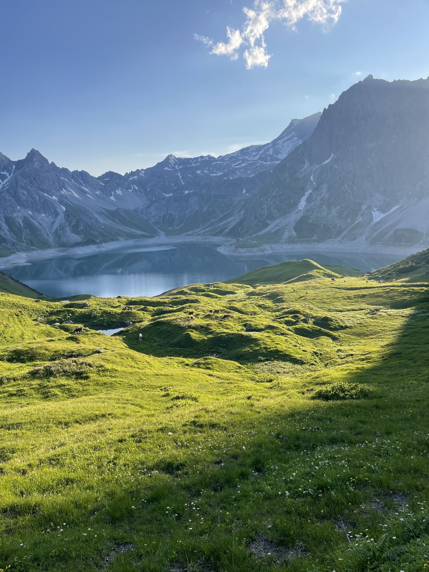
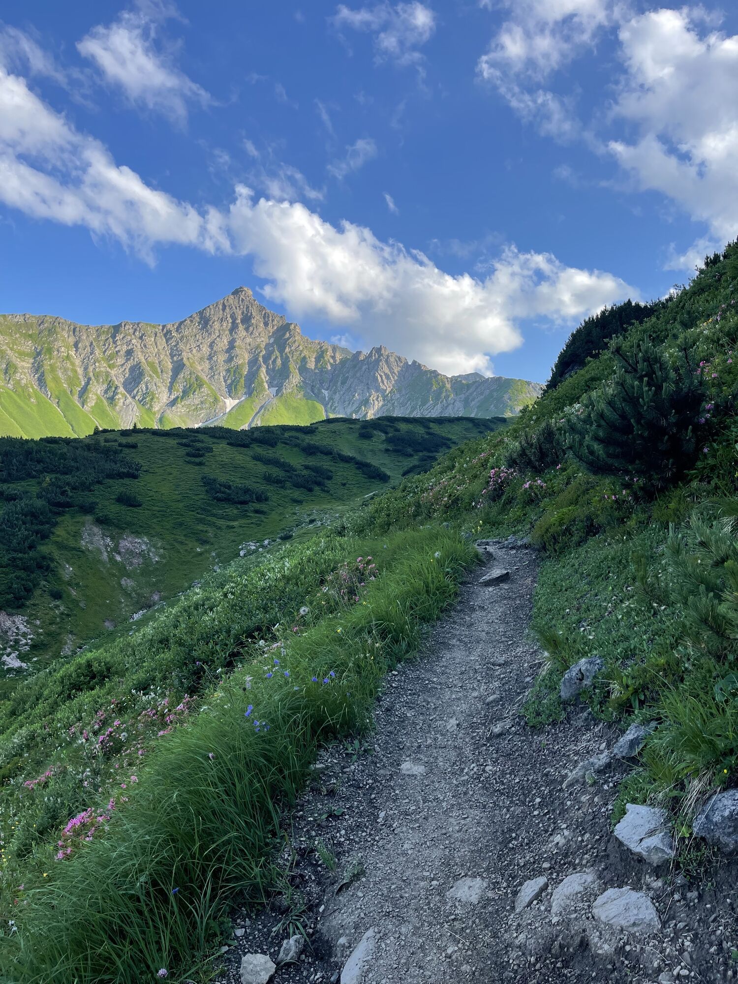
The starting point for this dreamlike panoramic route is the Lünerseebahn / Douglass Hut mountain station. Keep left, the path leads over the terrace of the Douglass Hut and crosses the dam. At the end of the dam, the path branches off. Walk a little downhill and follow the narrow path along the bottom of the Schafgafall. The narrow path initially is level and shortly after gains elevation. You will then reach the saddle. You see a hollow to the east; at it, keep left. From the saddle, it goes steeply uphill with some challenging rock passages to the peak of Saulakopf. The descent initially follows the same route. However, then keep left towards Heinrich Hueter Hut. Shortly after, turn towards Gipsköpfl or Lünerkrinne. From Lünerkrinne, turn away from Montafon and shortly after reach the Lünersee, as well as the mountain station and the Douglass Hut.
Ano
Ano
Mountain boots with good tread sole
EMERGENCY CALL: 144
European emergency number: 112 (works with any mobile phone/network)
Coming from Schruns, take the Bludenz/Montafon highway exit and follow the expressway to Bludenz Mitte. At McDonald's, turn left and continue straight on the road to Bürs. In Bürs, follow the road to Bürserberg and then continue via Brand and Schattenlagant to the valley station of the Lünerseebahn. www.maps.google.com
Just leave your car parked
The Montafonerbahn regional buses operate throughout Montafon. The main lines run on an hourly basis from Schruns station.
From Schruns station, you can reach Bludenz by Montafonerbahn. From Bludenz station, take bus line 81 through Brandnertal to Lünerseebahn. The stop is: "Lünerseebahn".
For the return journey
Bus line 81 takes you back from Lünerseebahn to Bludenz station. The Montafonerbahn takes you back to Schruns station.
Arrival by train
The Montafonerbahn runs hourly (partly every half hour) from Bludenz station. There are also direct connections from Lindau (D) and Bregenz.
Parking spaces are located at the valley station of the Lünerseebahn in Brand/Schattenlagant. (Brandnertal)
 Získejte přehled
Vždy živě na místě s více než 9 500 webkamerami. bergfex Jako uživatel Pro si nyní můžete zobrazit odpovídající webové kamery pro mnoho prohlídek v aplikaci prohlídky z. Můžete si tak přímo prohlédnout aktuální podmínky.
Získejte přehled
Vždy živě na místě s více než 9 500 webkamerami. bergfex Jako uživatel Pro si nyní můžete zobrazit odpovídající webové kamery pro mnoho prohlídek v aplikaci prohlídky z. Můžete si tak přímo prohlédnout aktuální podmínky.


Oblíbené prohlídky v okolí
-
4.8
Douglashütte - Schesaplana
středníTuristika 7.31 km -
5.0
Ski tour to the Lindauer Hut (1,744 m)
světloLyžařská trasa 14.0 km -
5.0
Bürs, Bürserschlucht Bürs, Vorarlberg
středníTuristika 5.31 km -
4.6
Over the historic mine and Fritzensee to Rellseck
středníTuristika 7.25 km -
4.4
Golm-Rundwanderweg im Rätikon
středníTematická stezka 7.28 km -
4.9
Douglasshütte, Lünersee, Gafalljoch Brand bei Bludenz, Vorarlberg
světloTuristika 9.16 km -
4.3
Mondspitze (Montspitze)
středníTuristika 7.97 km -
4.3
Golmerbahn Bergstaion Grüneck - Golmer Höhenweg - Geißspitze - Lindauer Hütte - Latschau
středníTuristika 11.5 km -
3.7
Fürstin-Gina-Weg
Turistika 10.7 km -
3.8
Sassweg - von Malbun zum Sass-Seelein
Turistika 4.14 km
Pěší turistika a stopování


Nenechte si ujít nabídky a inspiraci pro vaši příští dovolenou
Vaše e-mailová adresa byl přidán do poštovního seznamu.





