






Arlberg Ultra - ARLBERG CLASSIC 40K

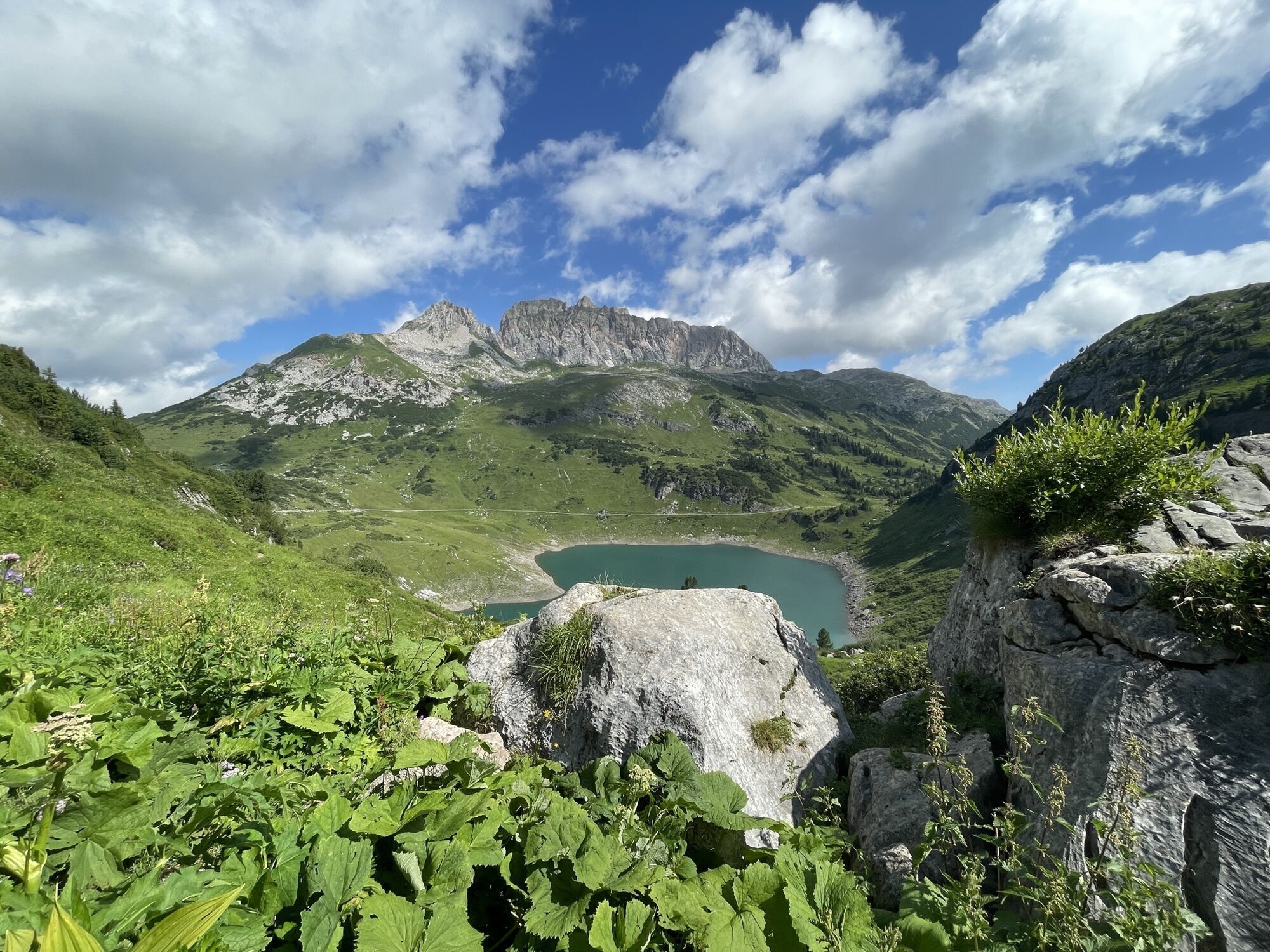
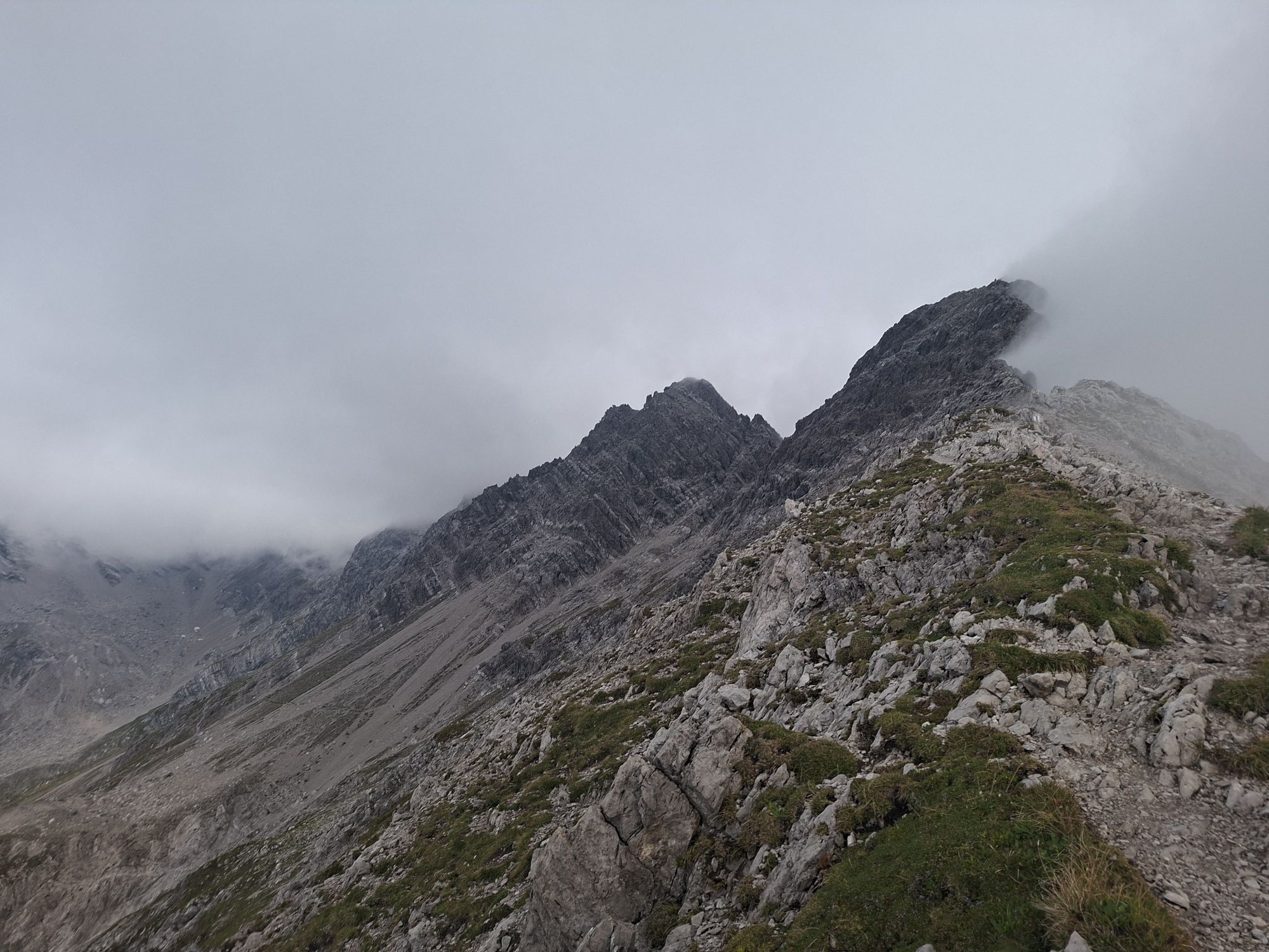
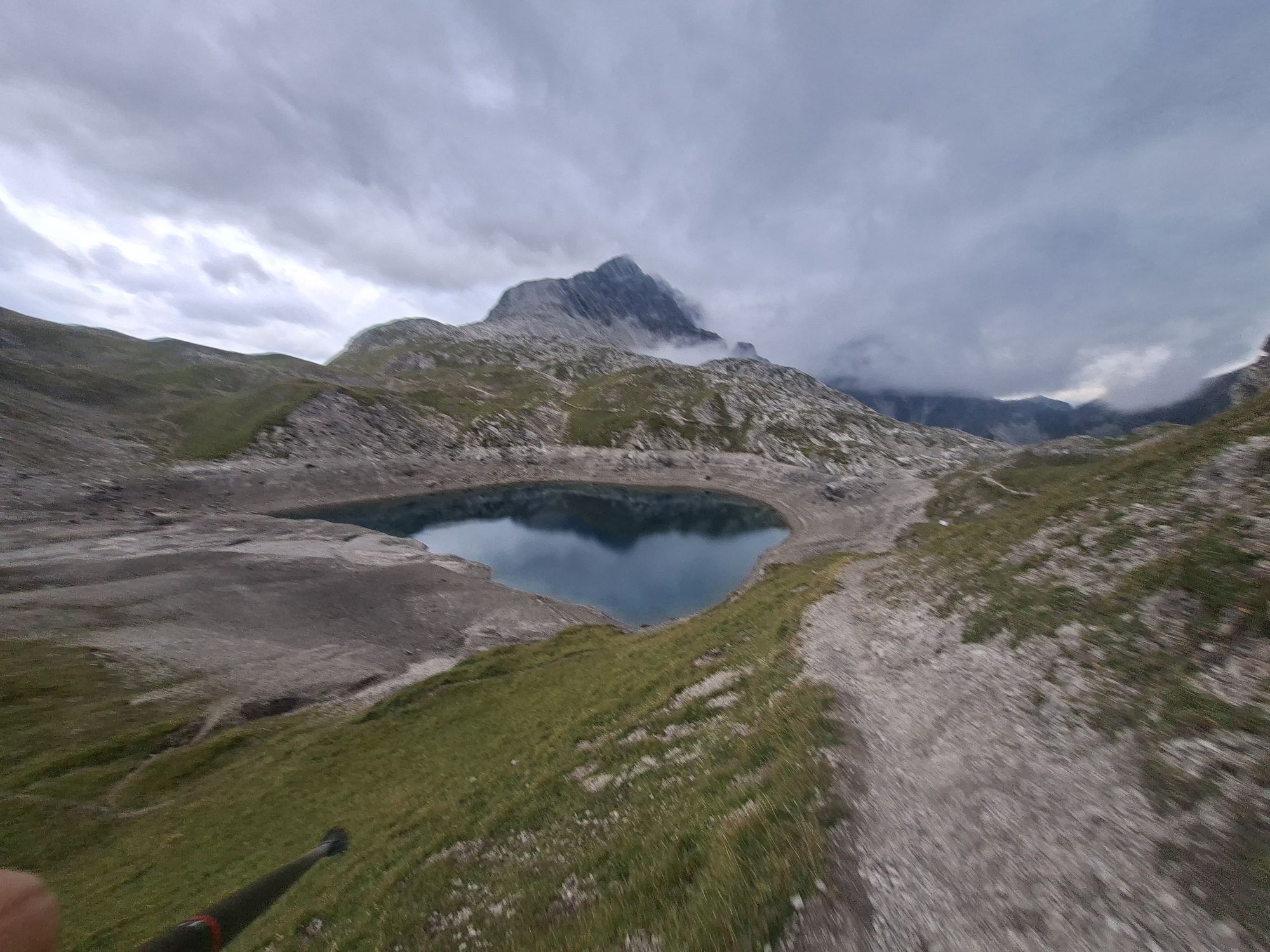
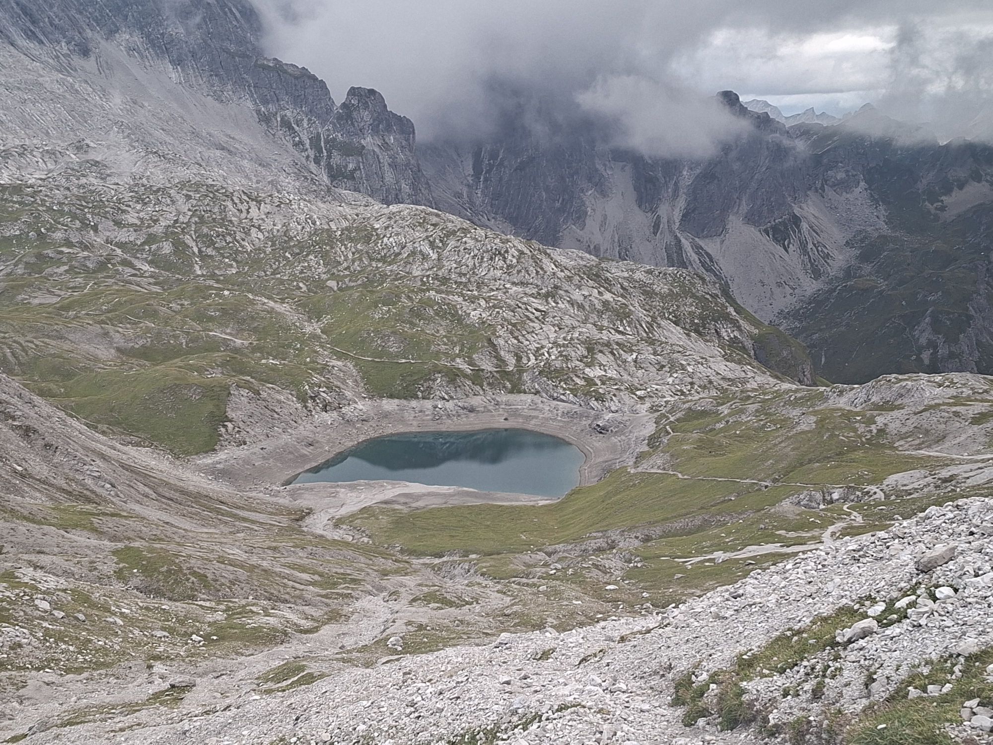
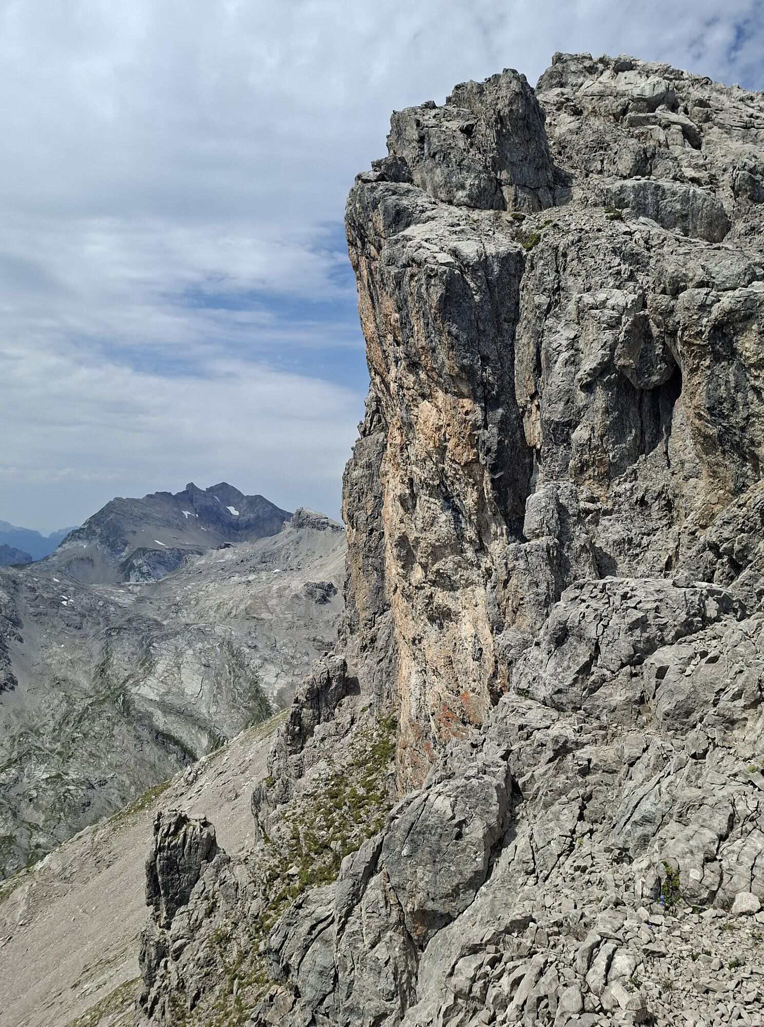
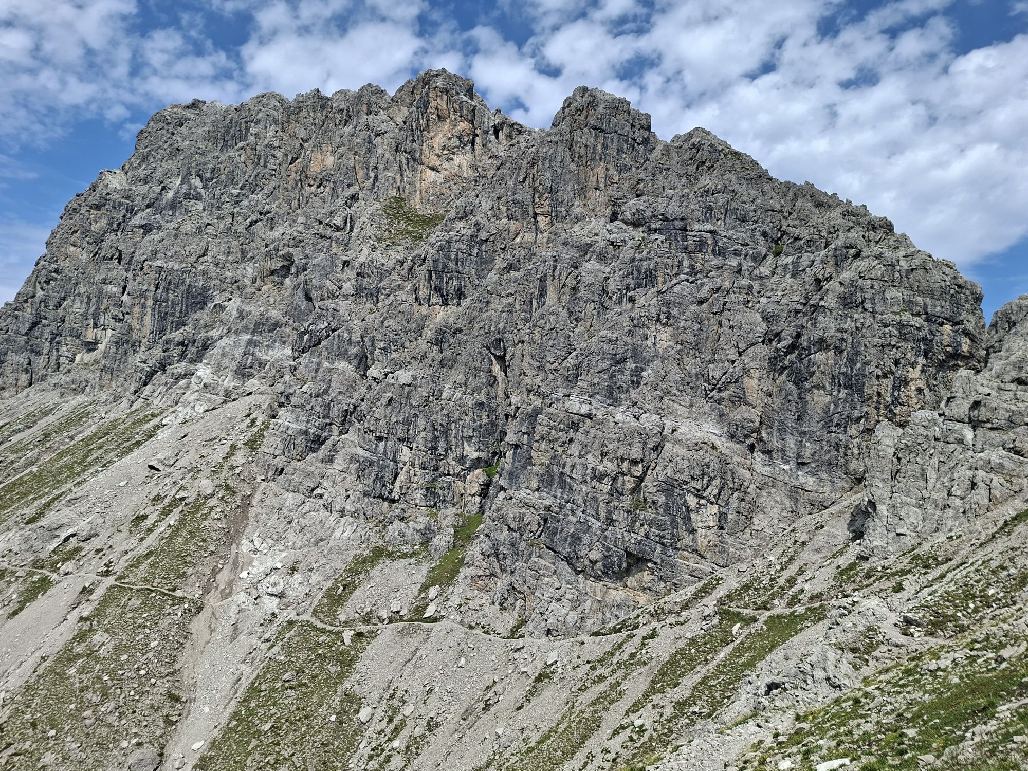
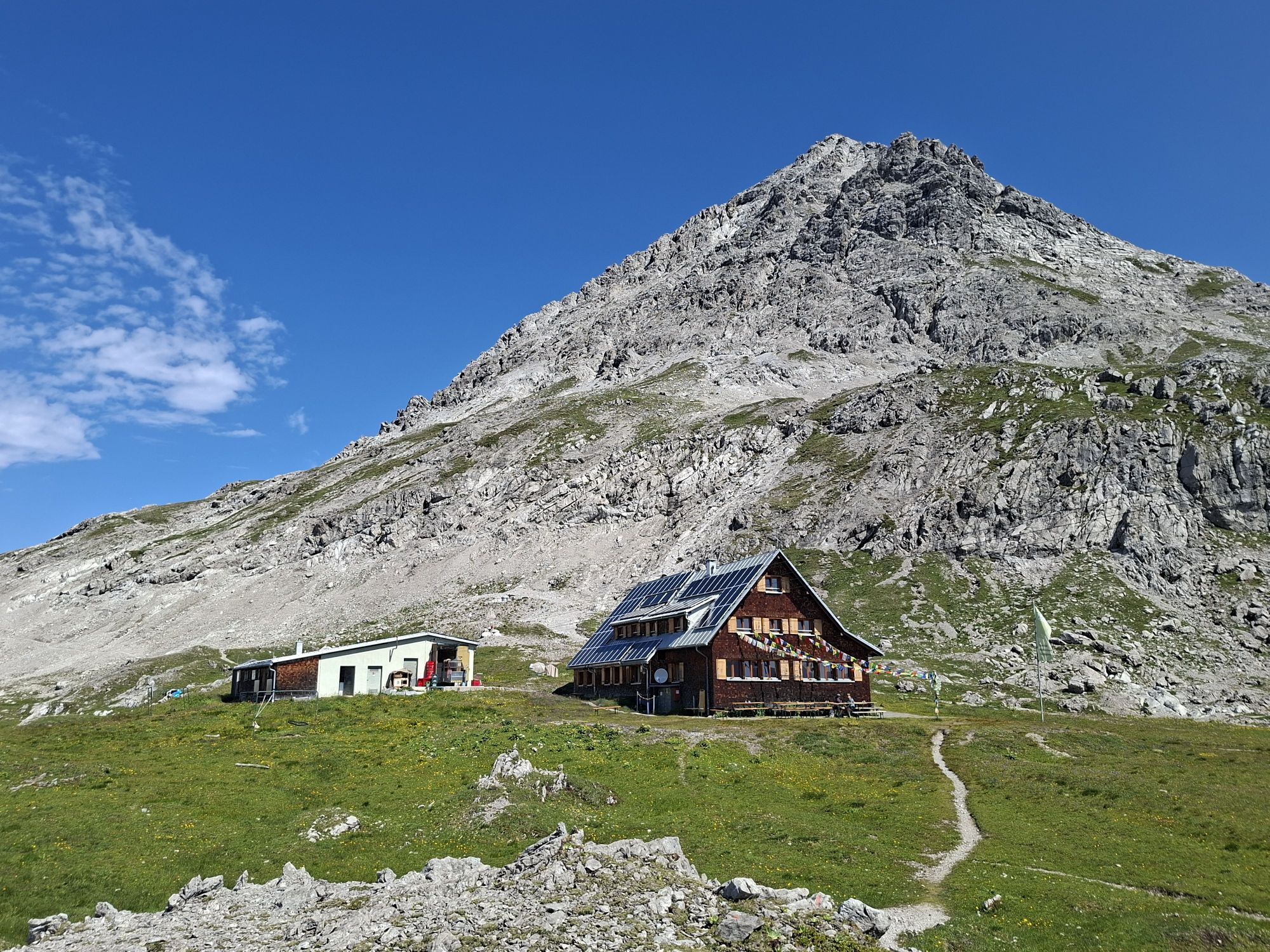
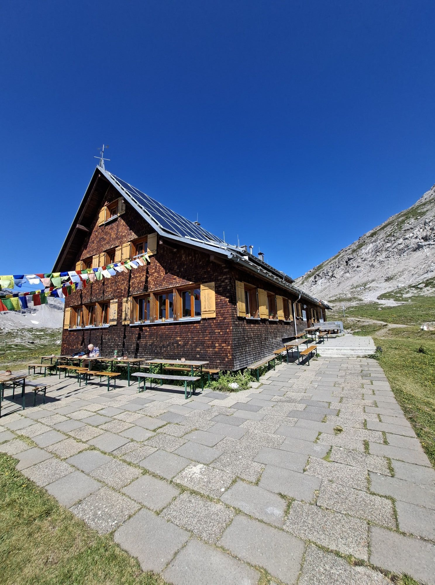
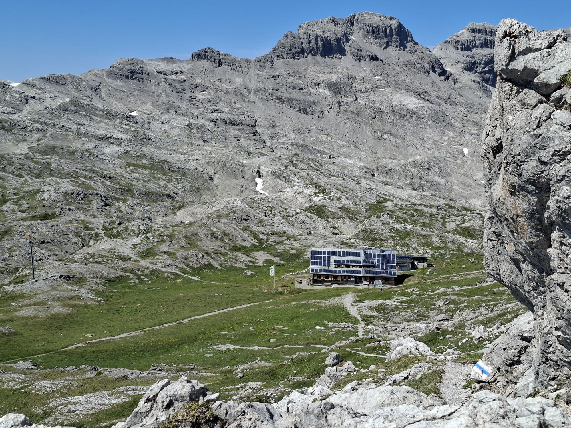
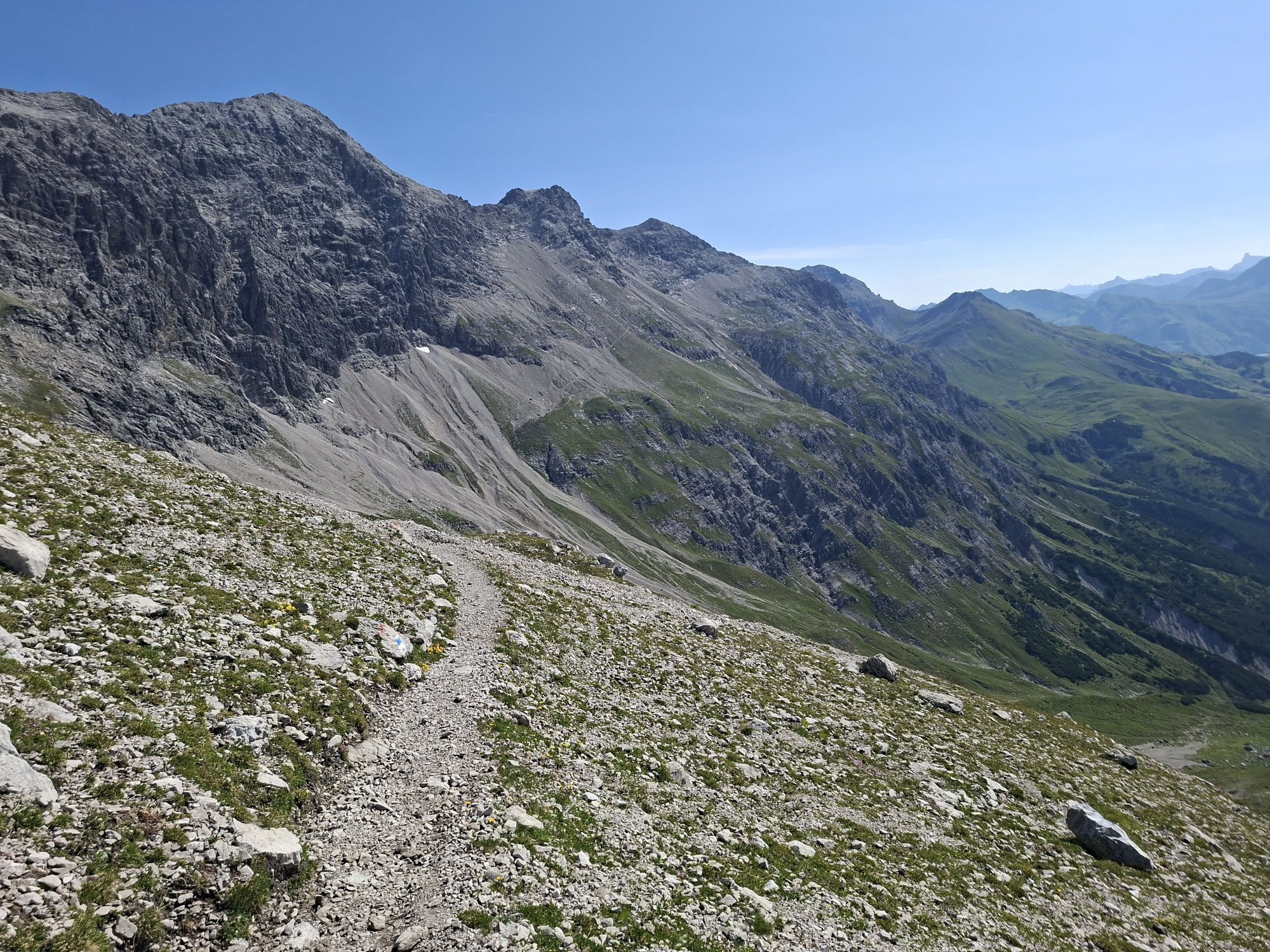
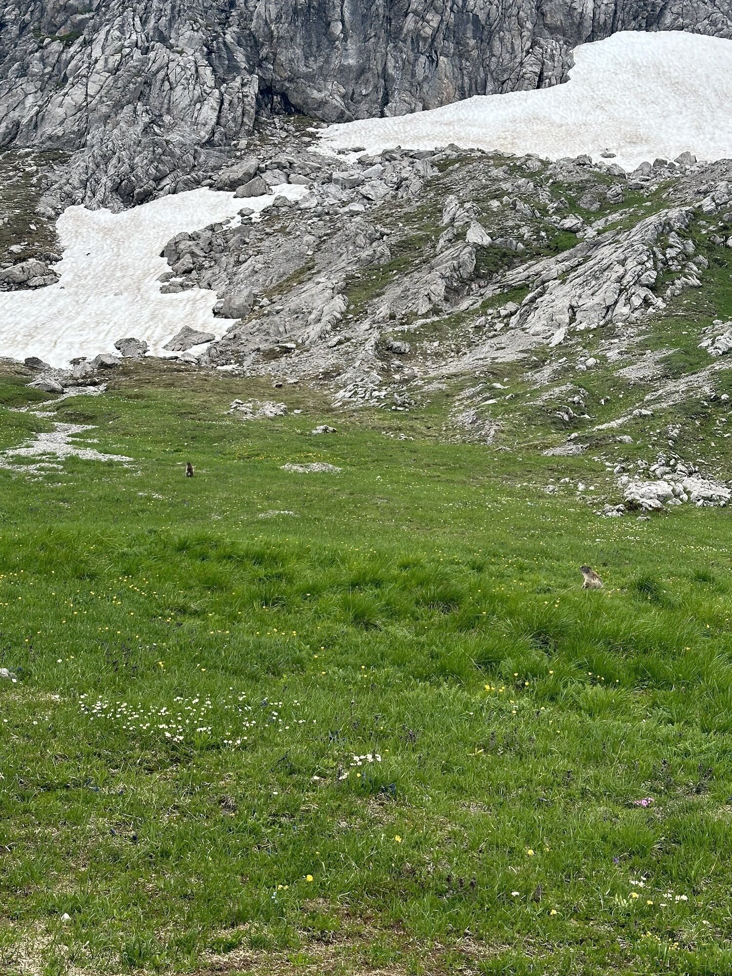
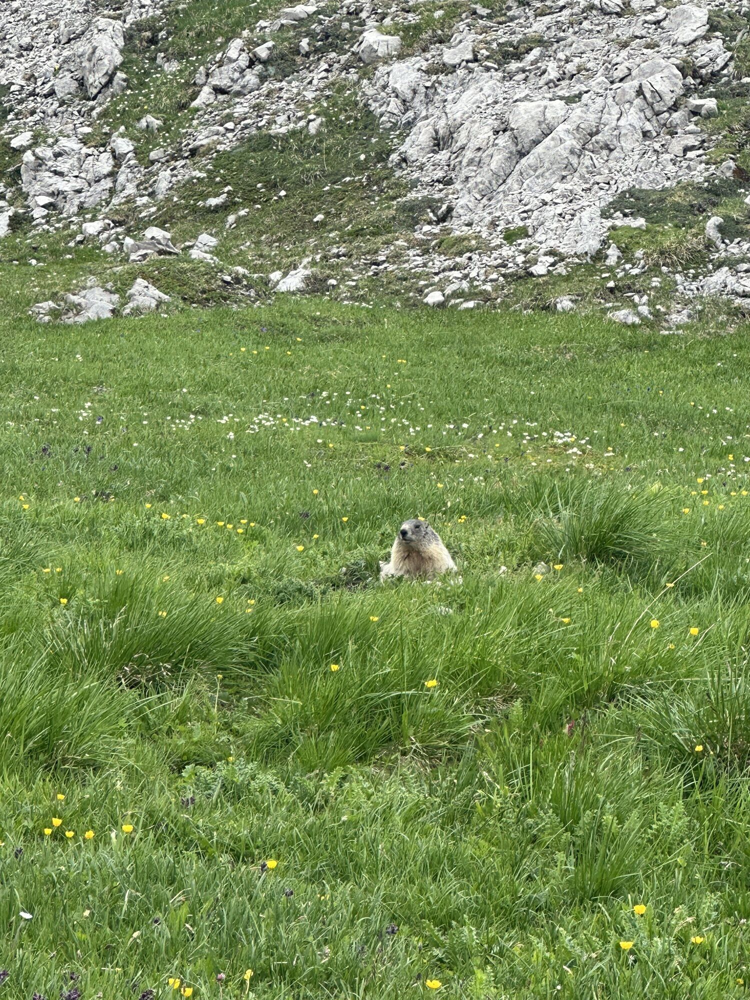
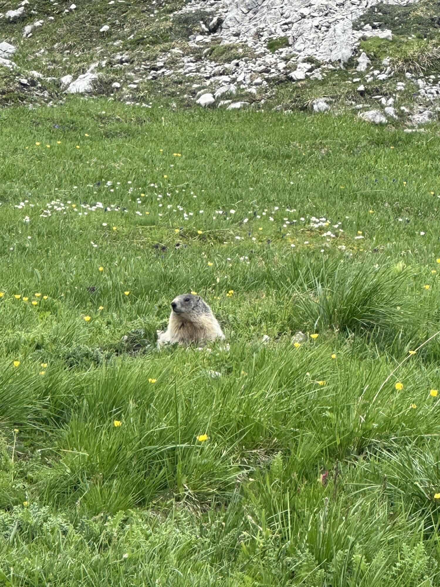
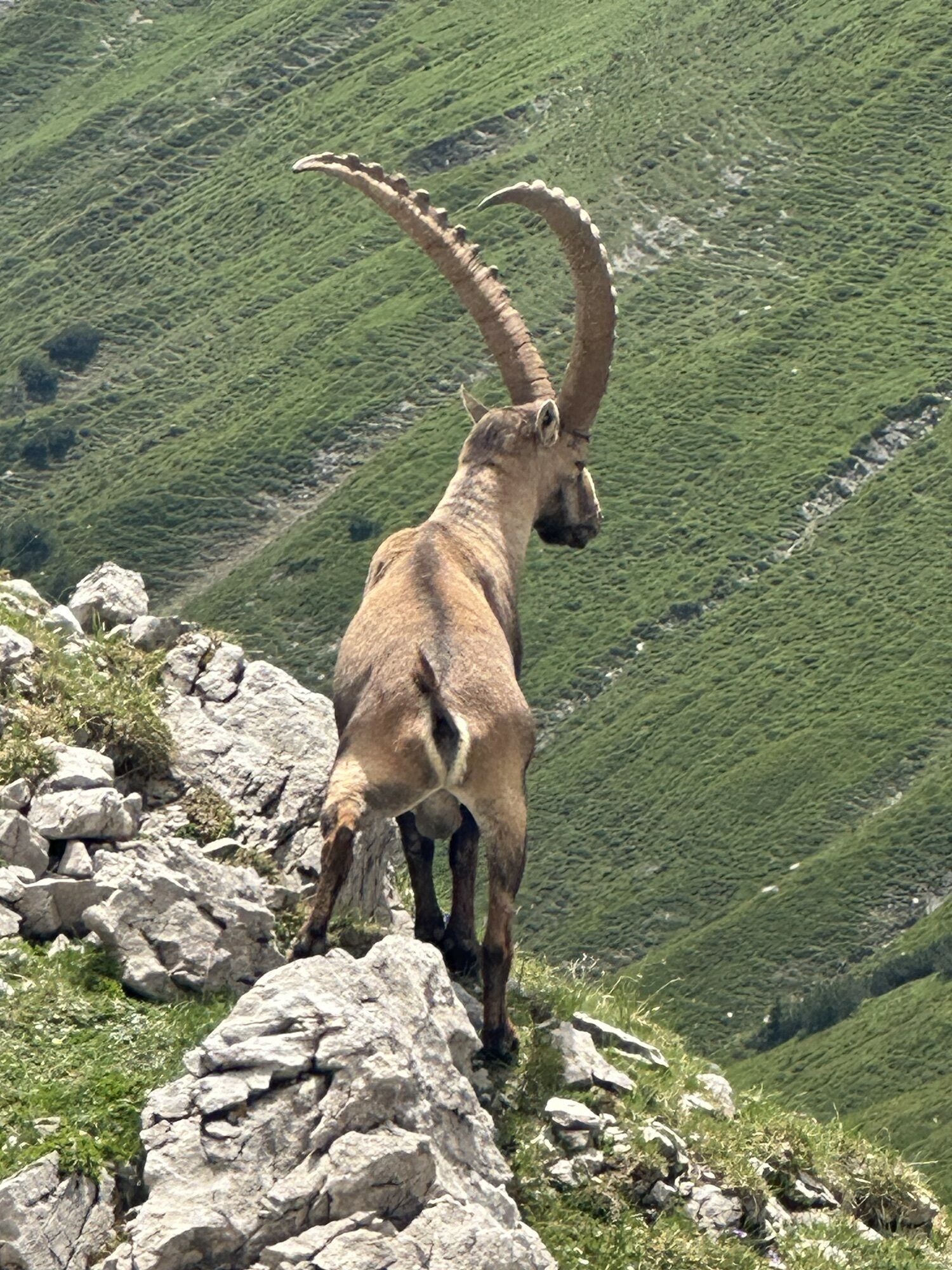
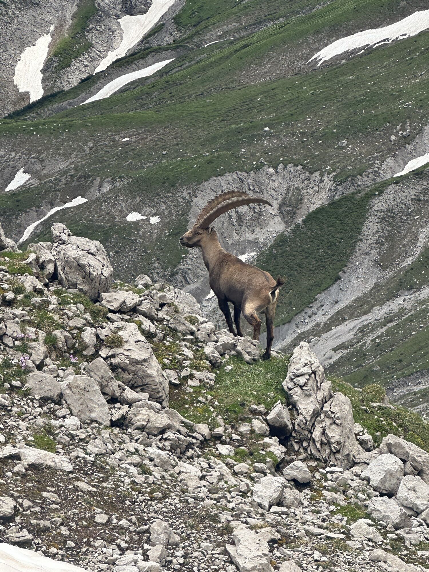
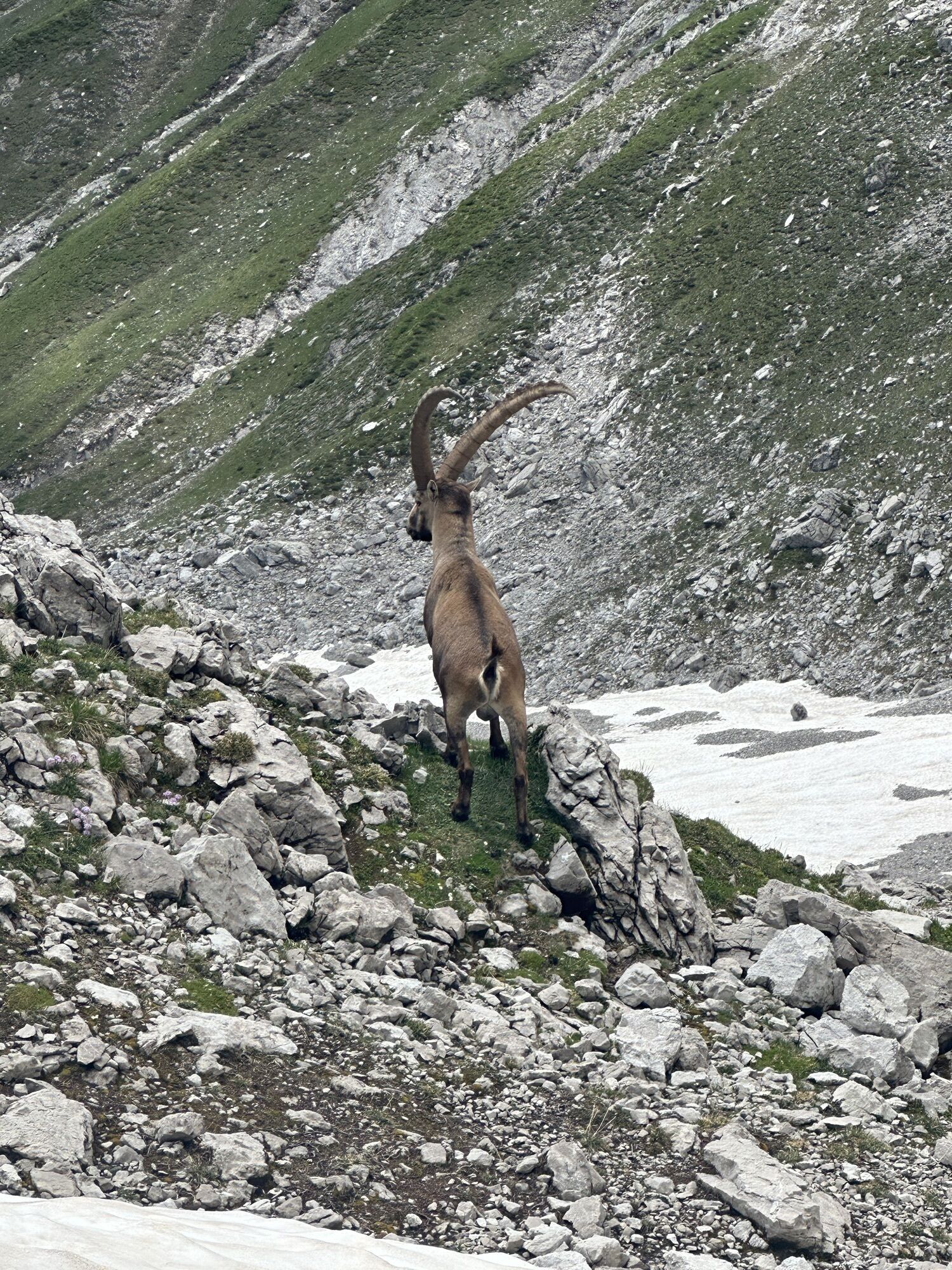
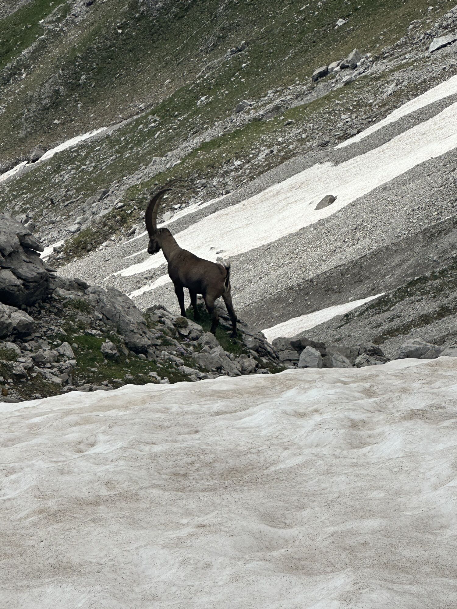
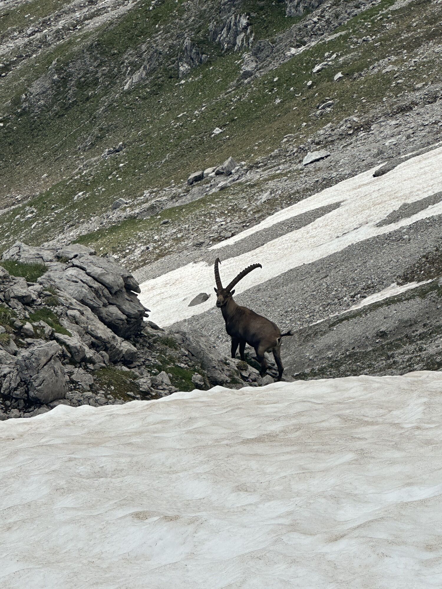
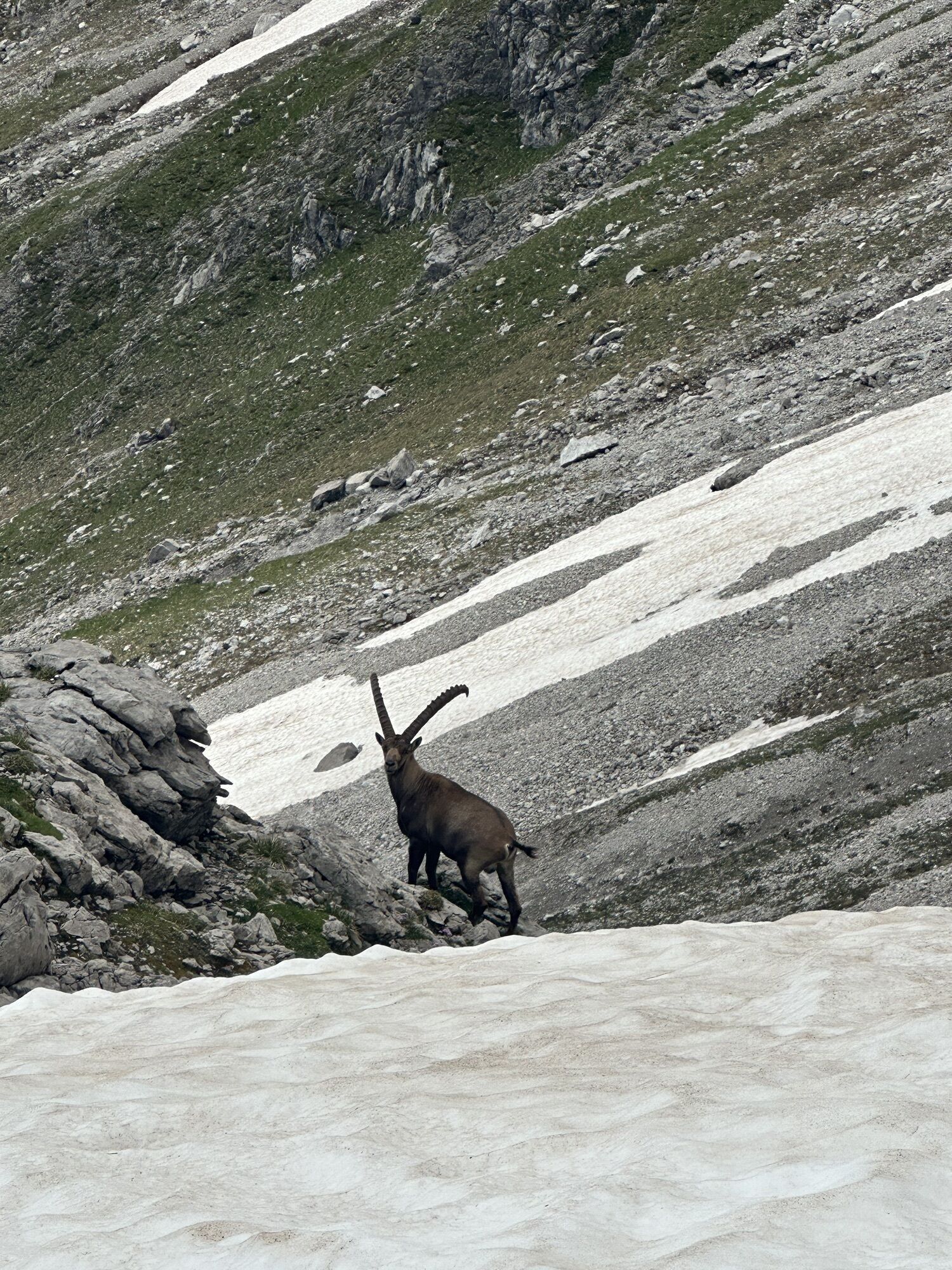
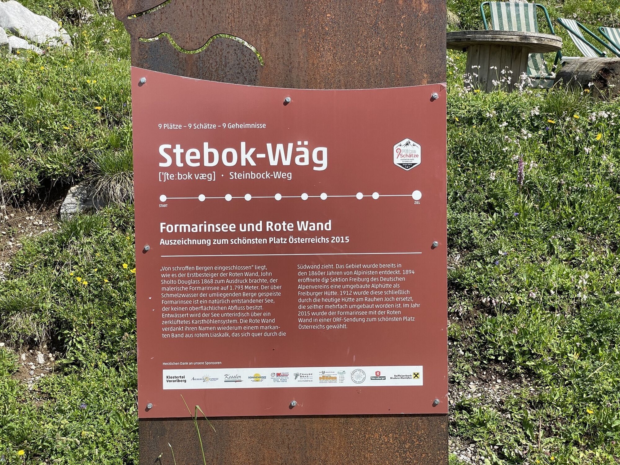
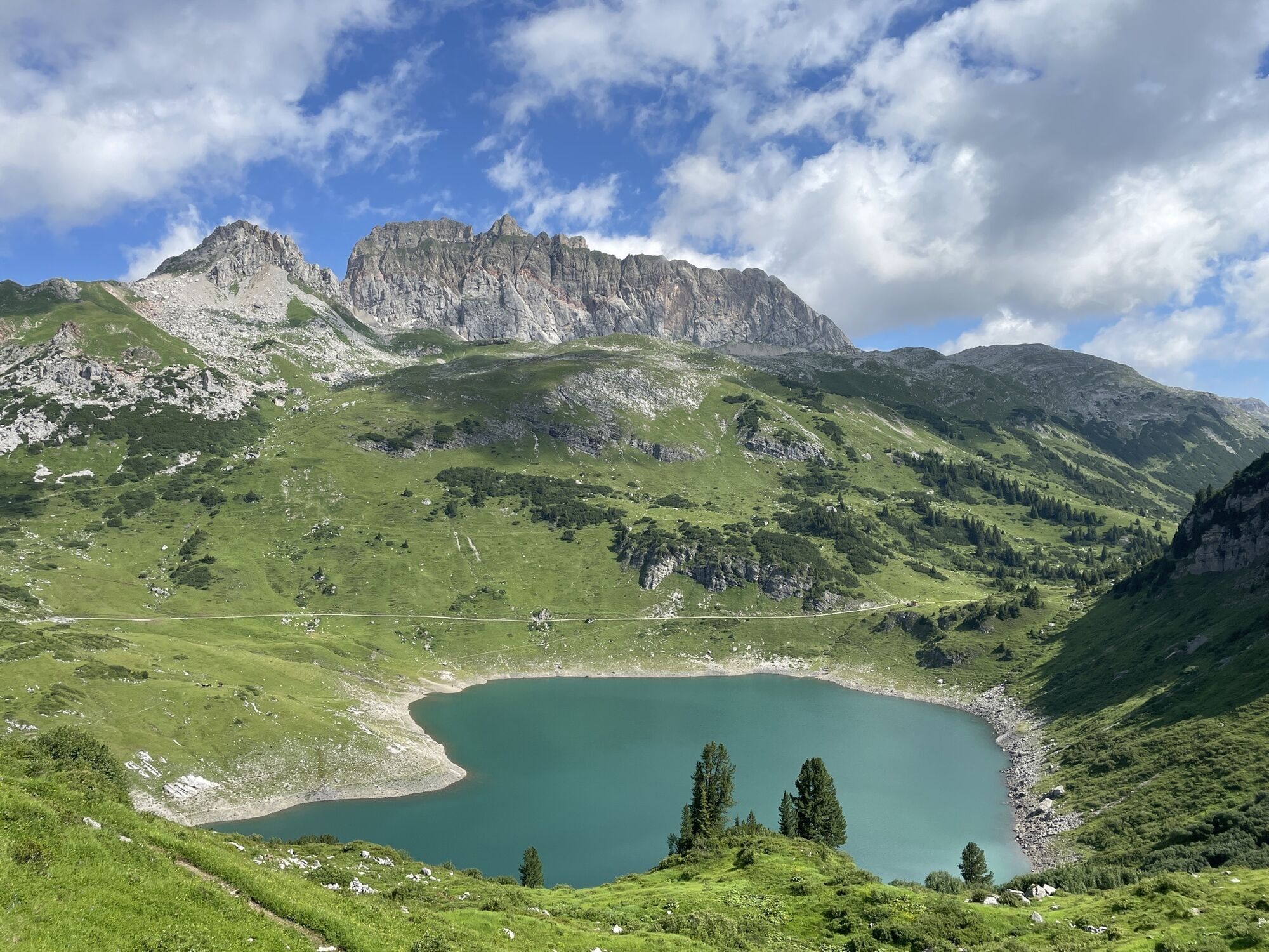
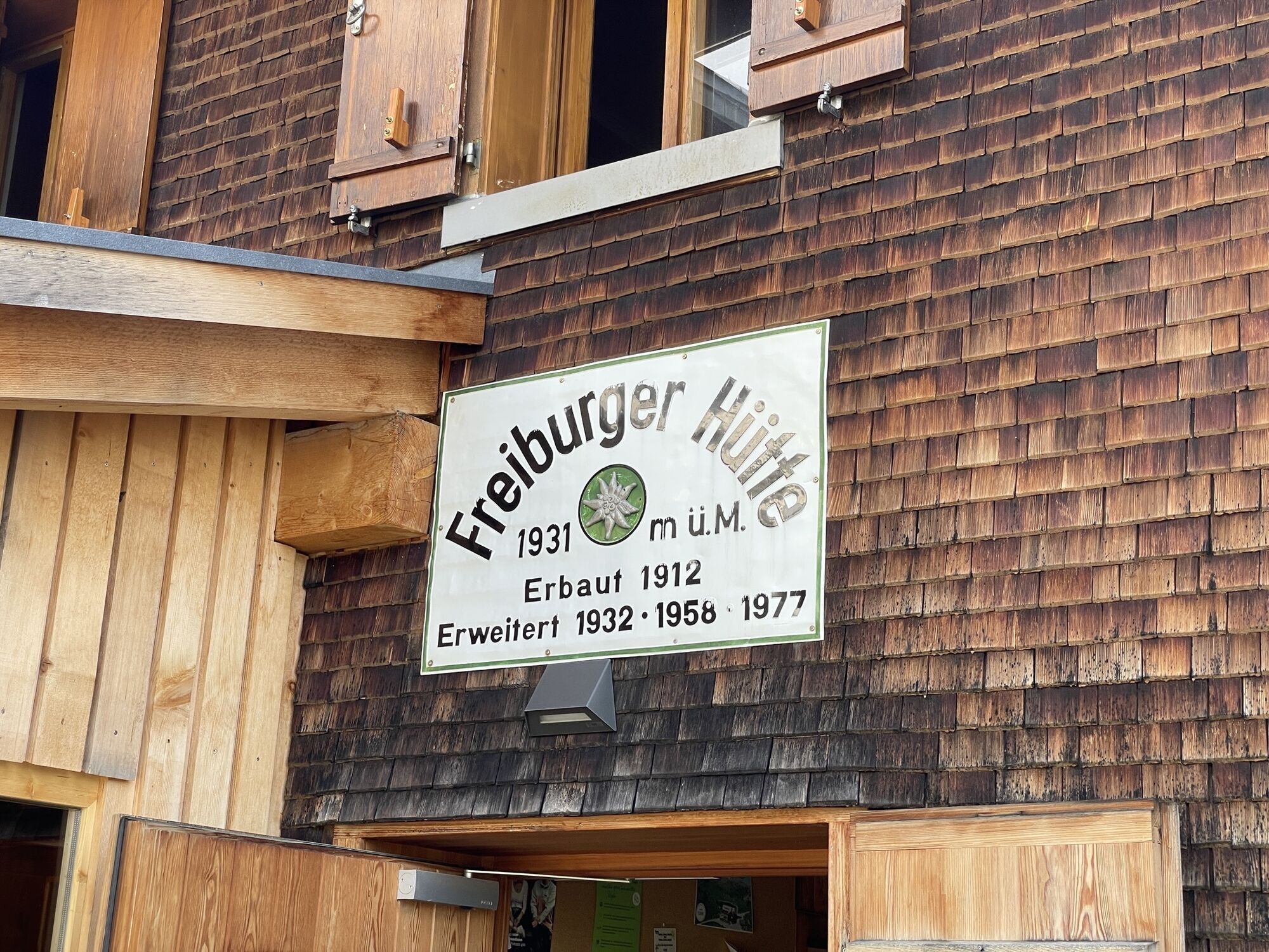
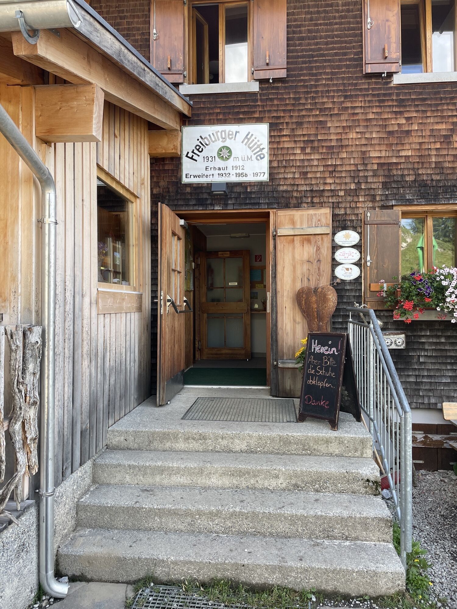
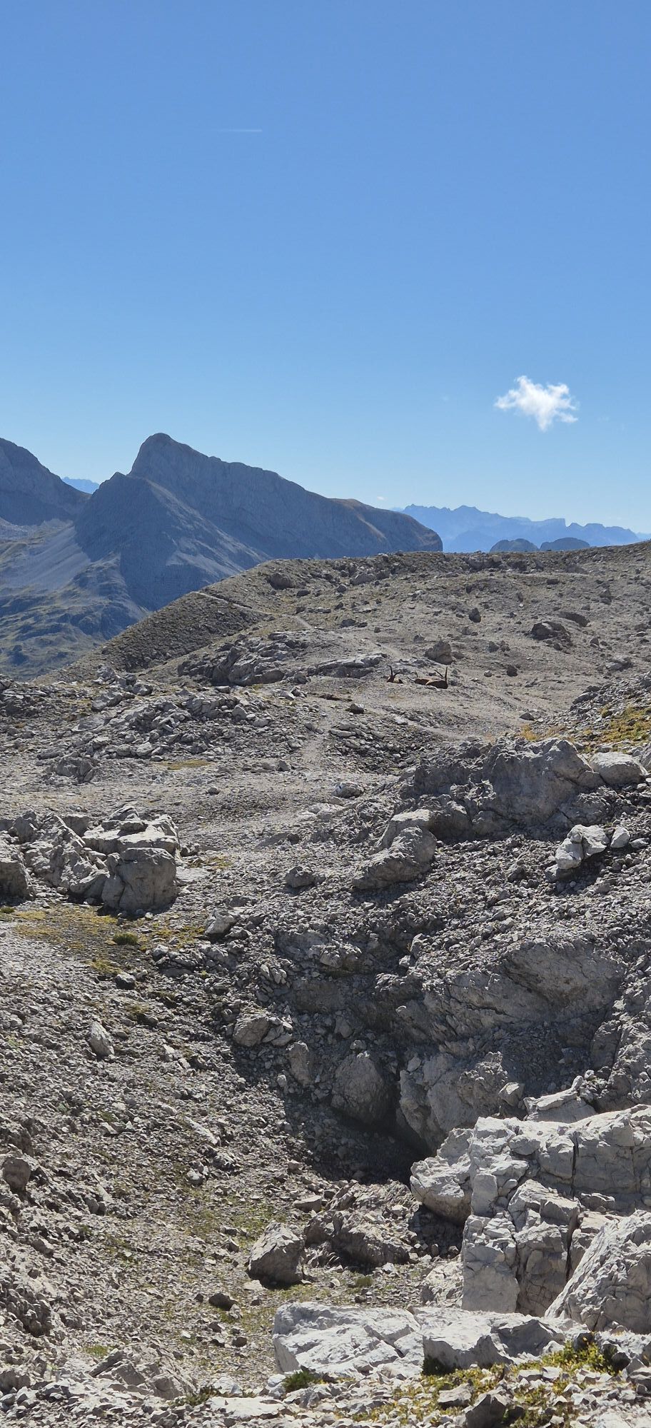
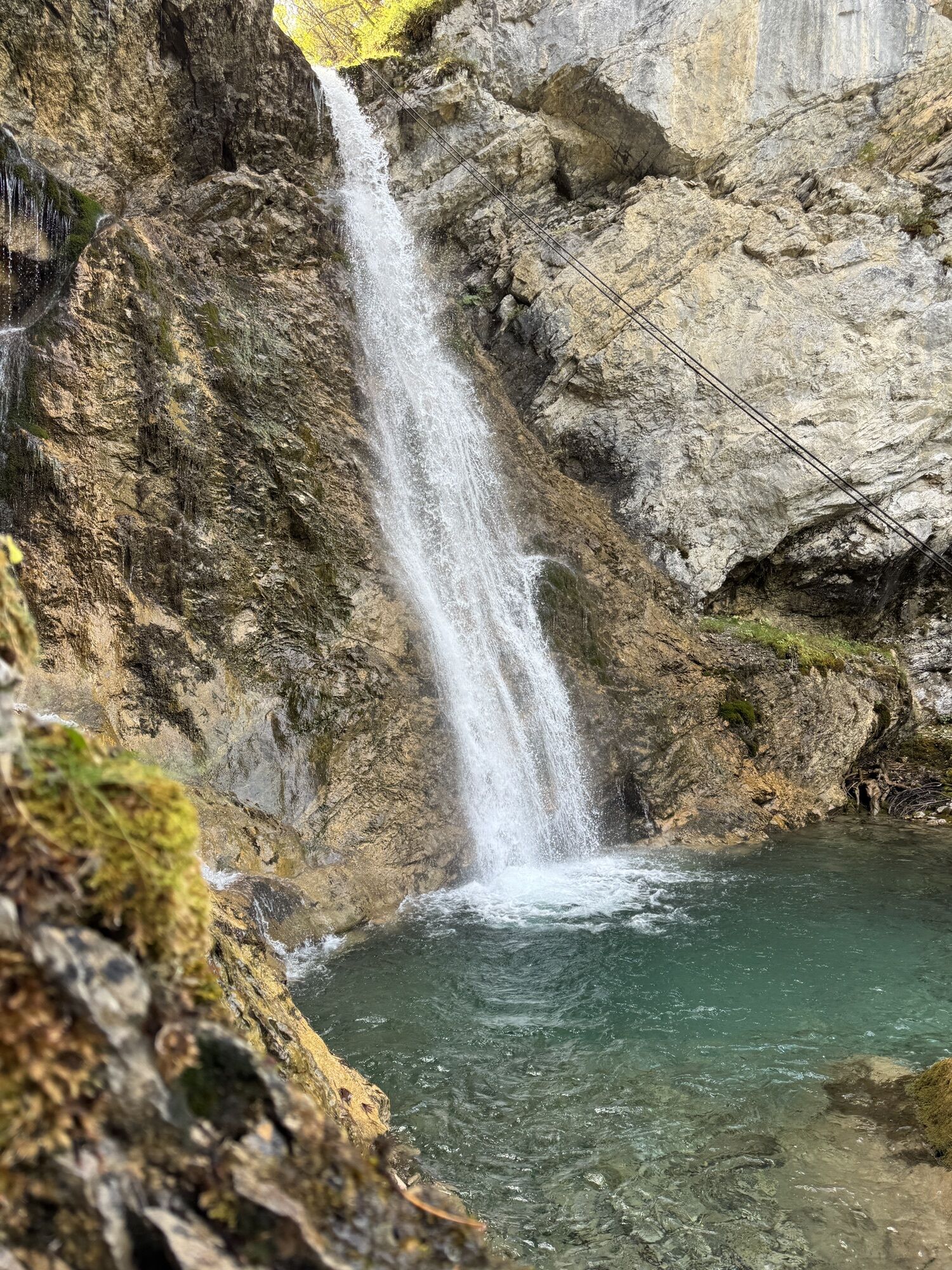
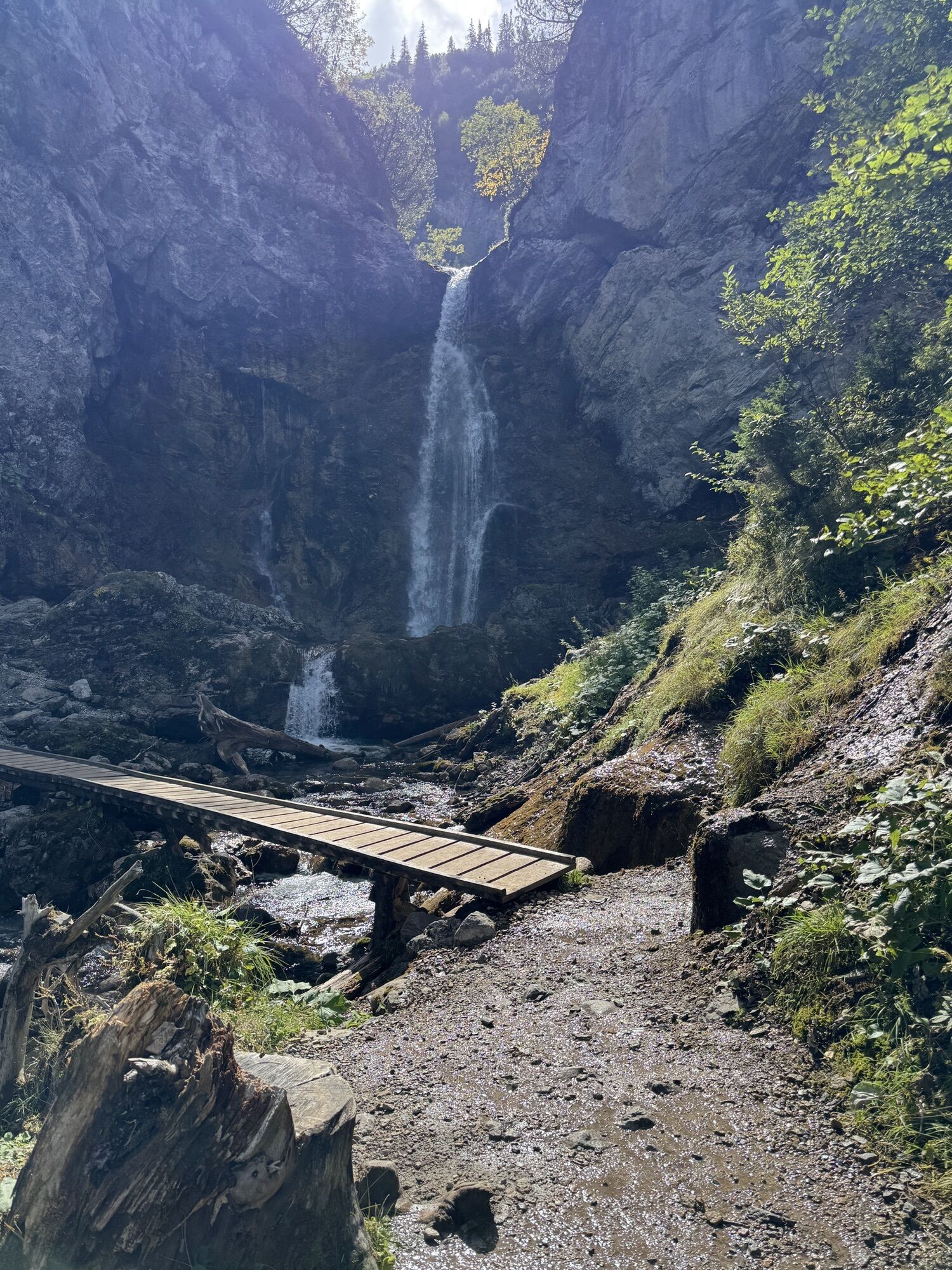
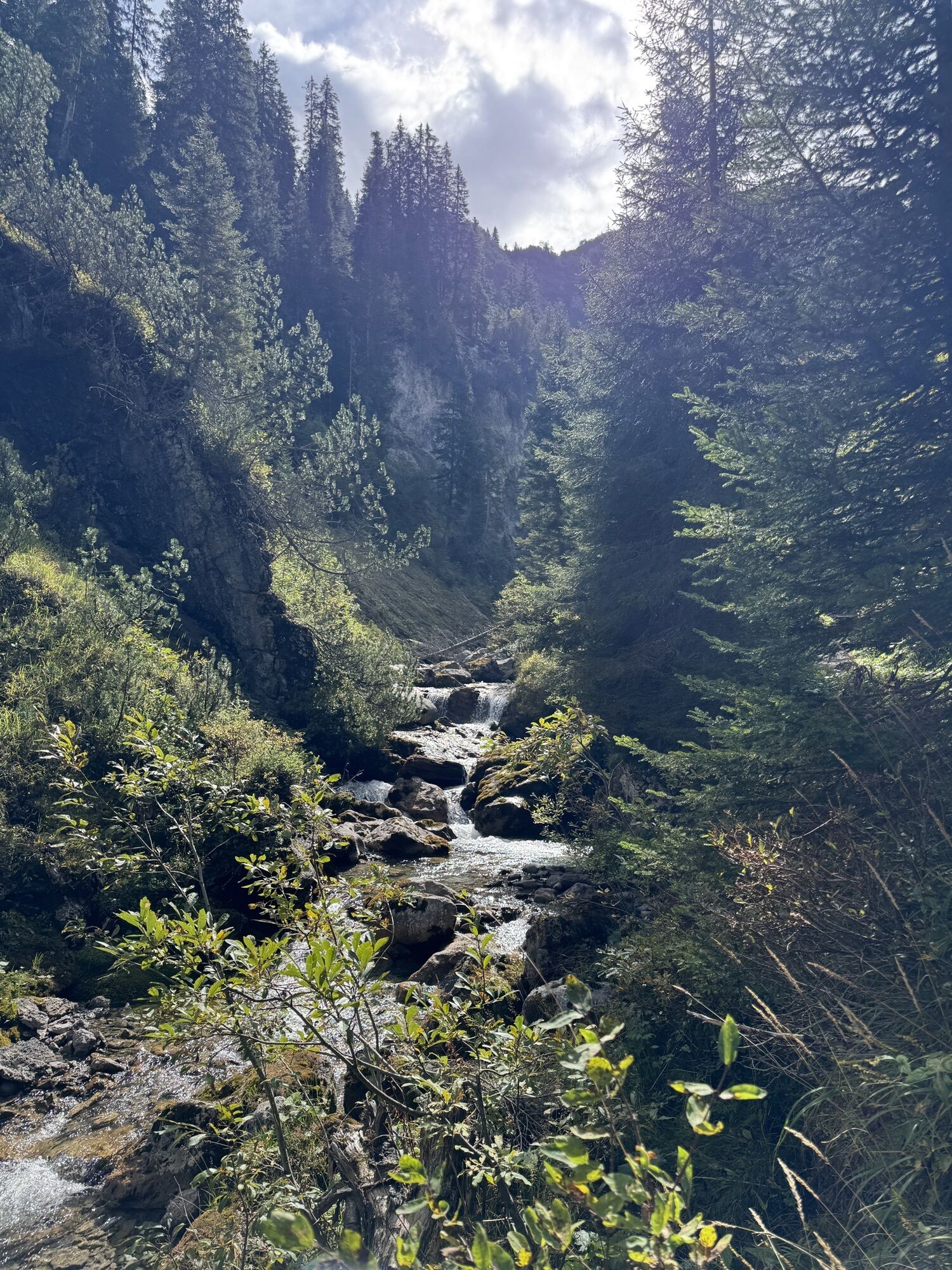
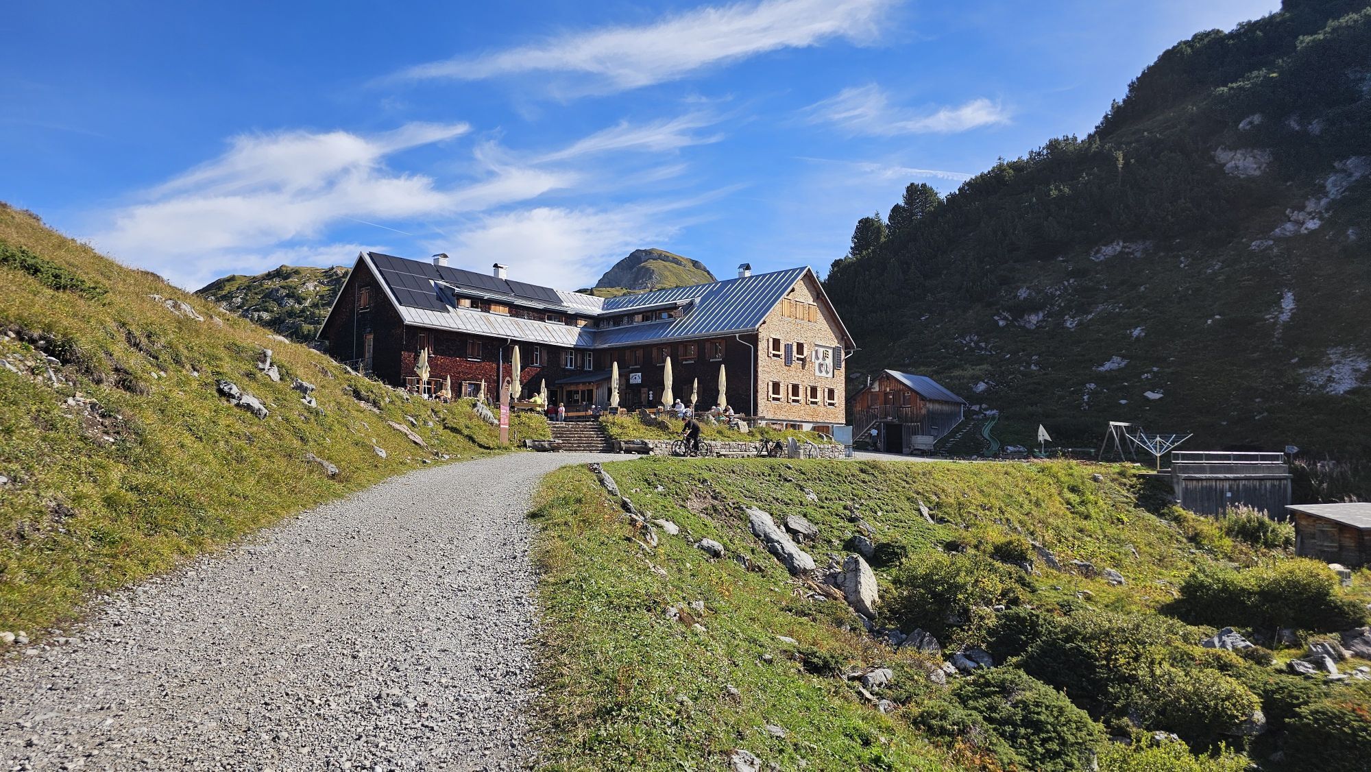
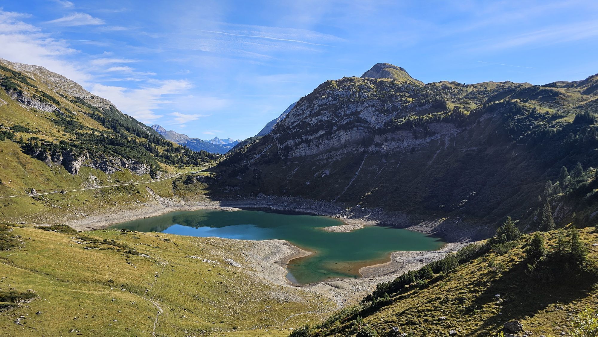
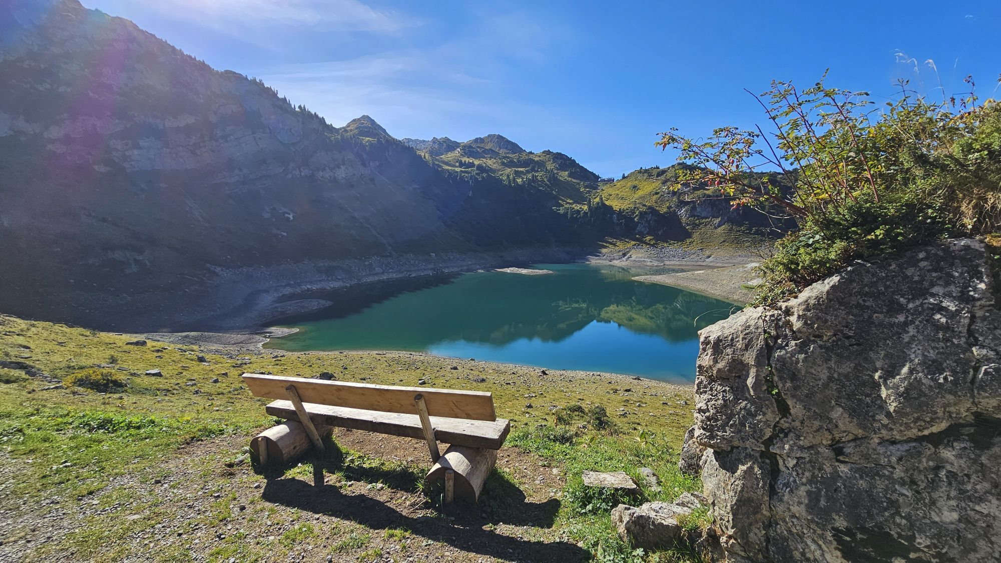
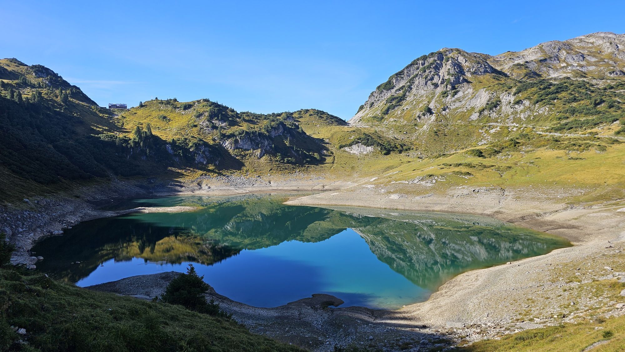
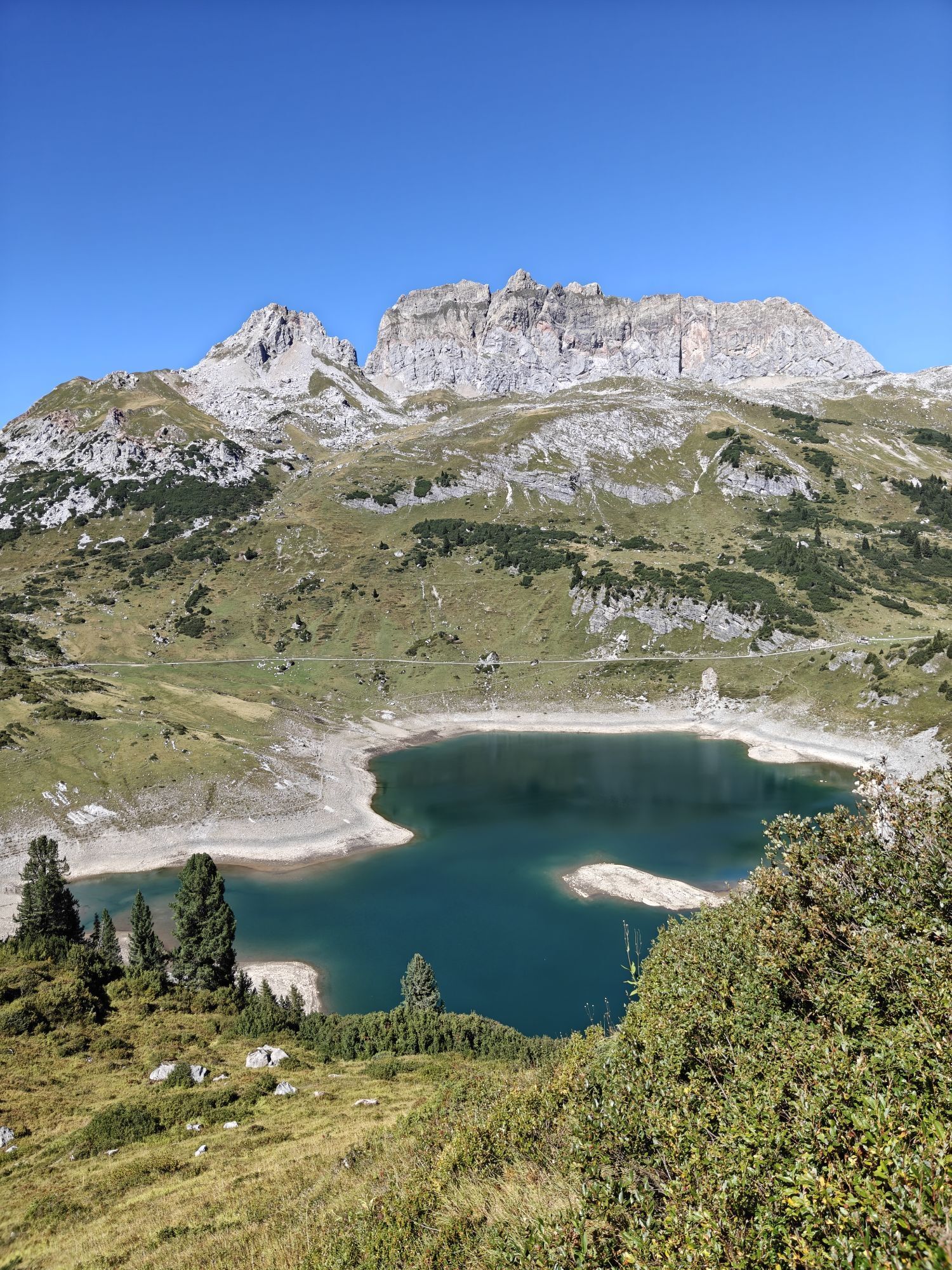
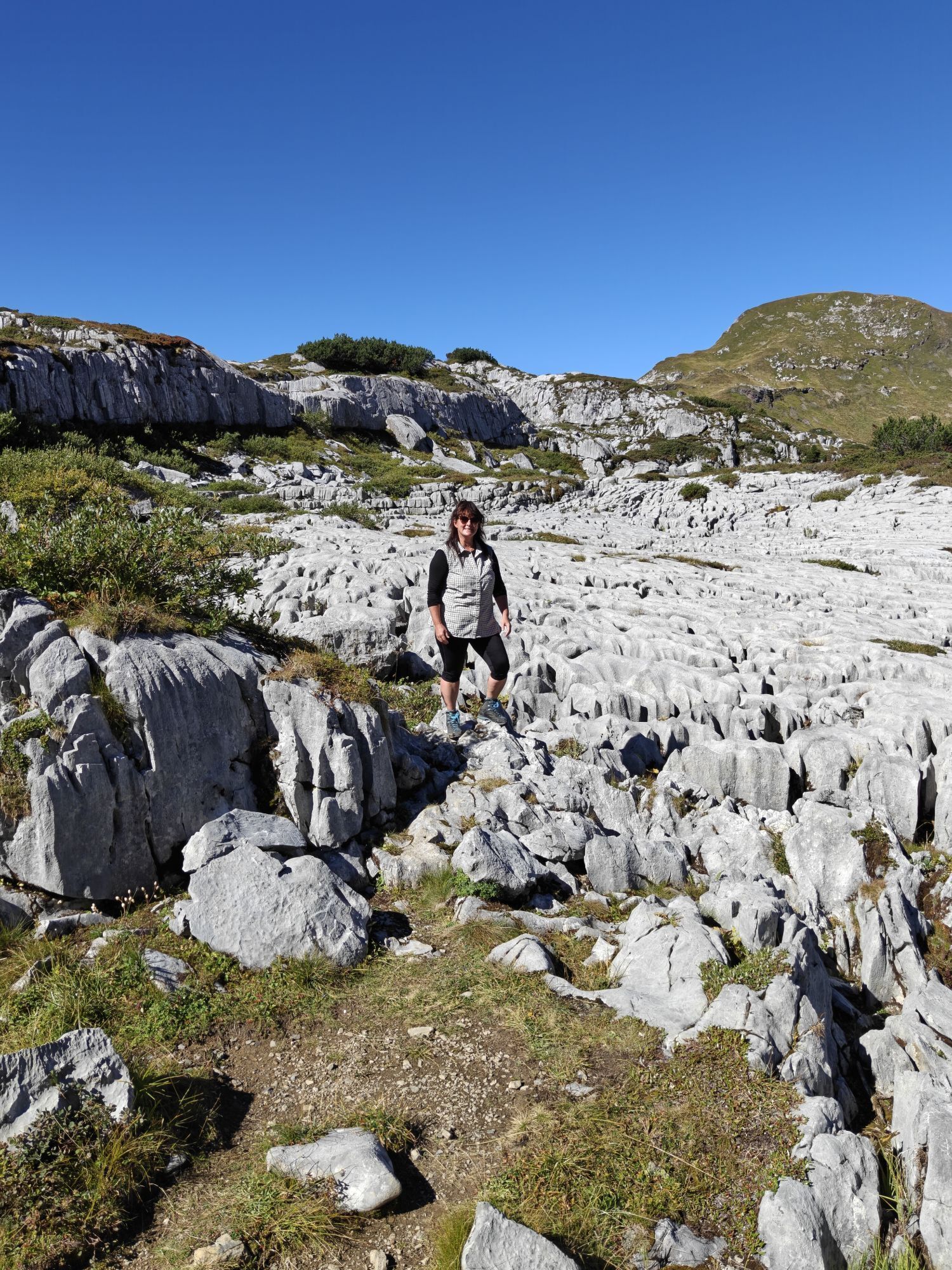
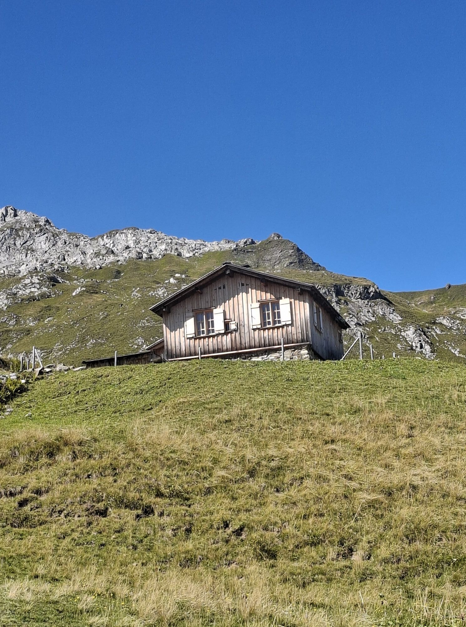
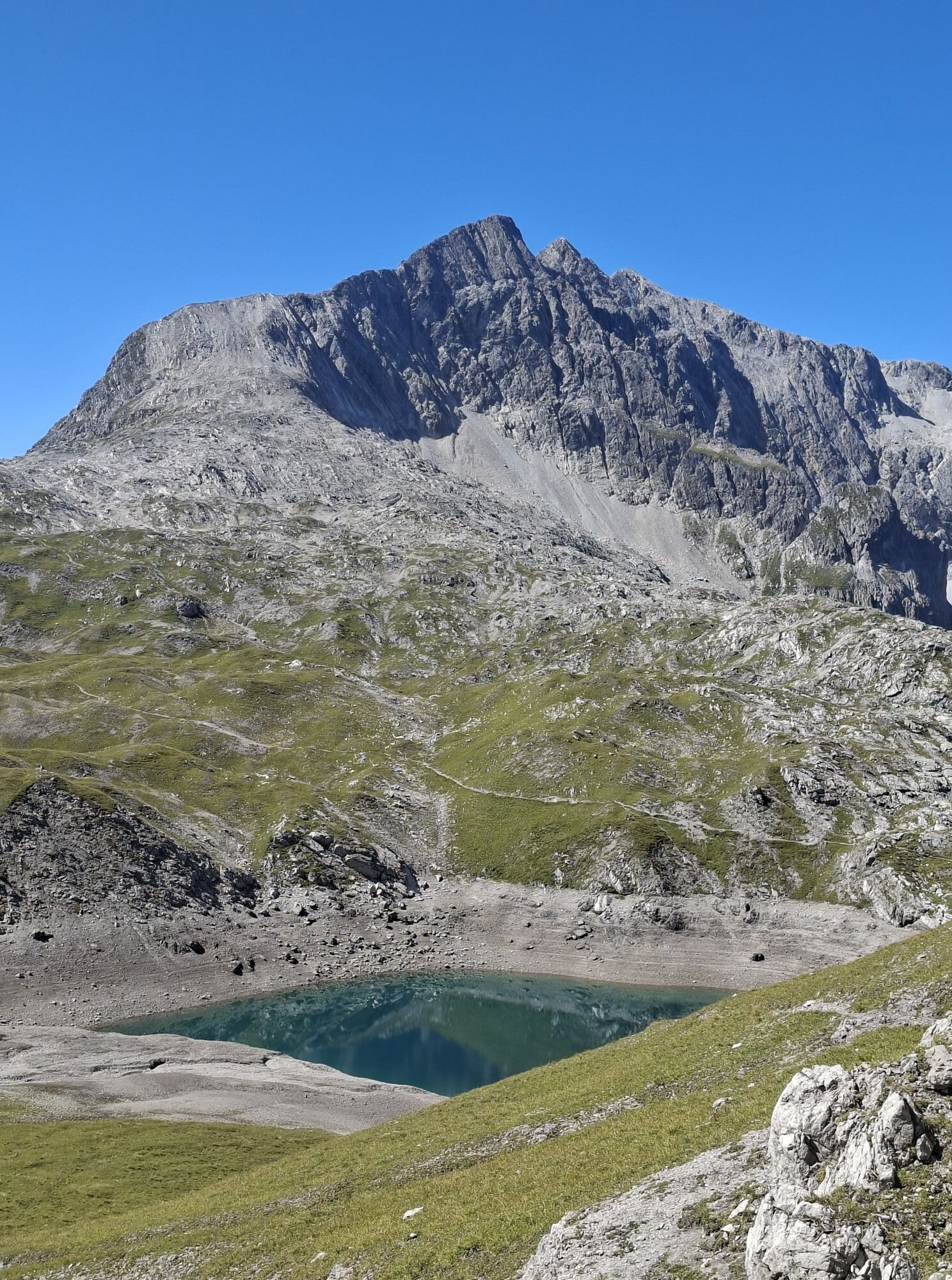
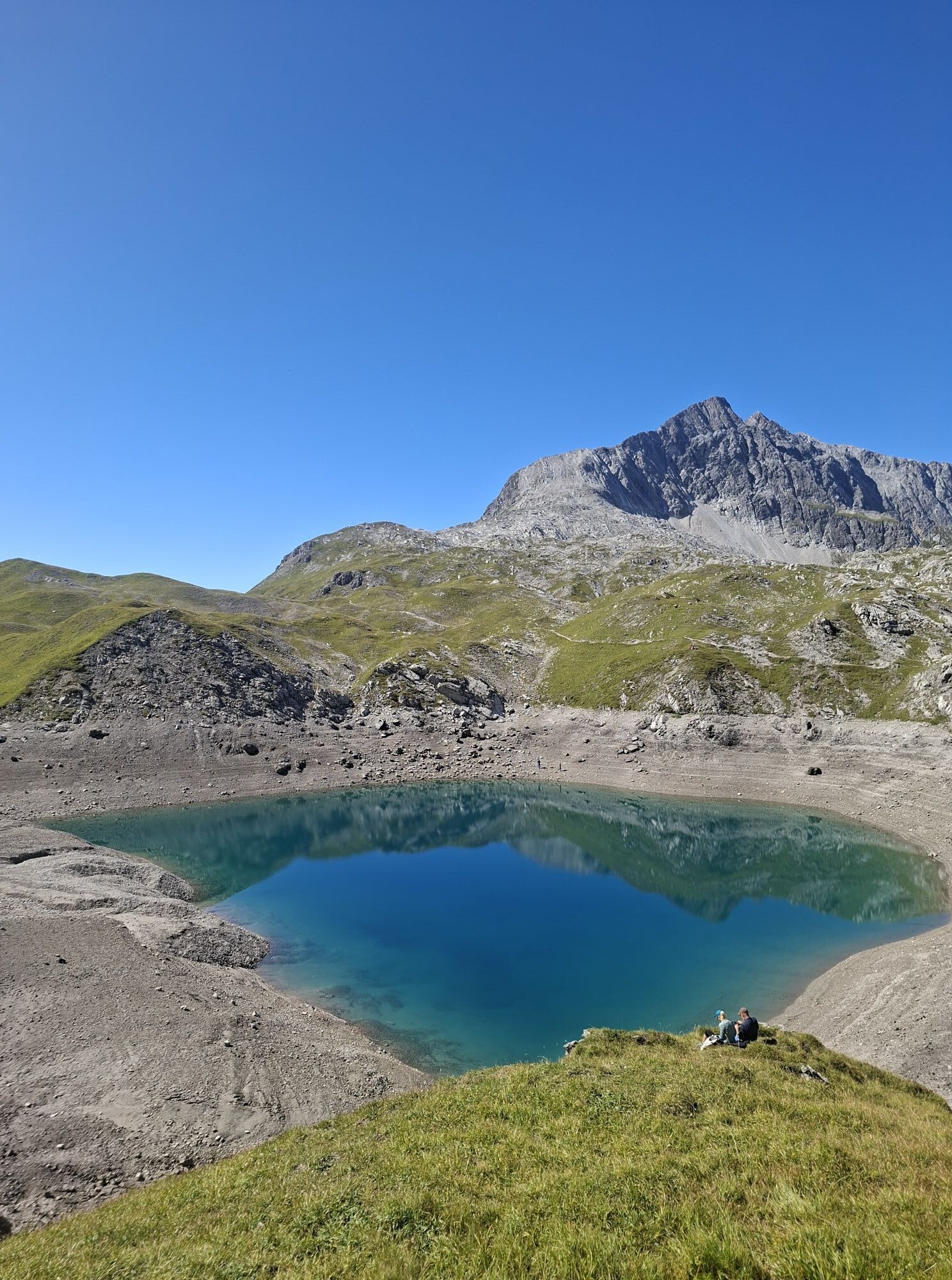
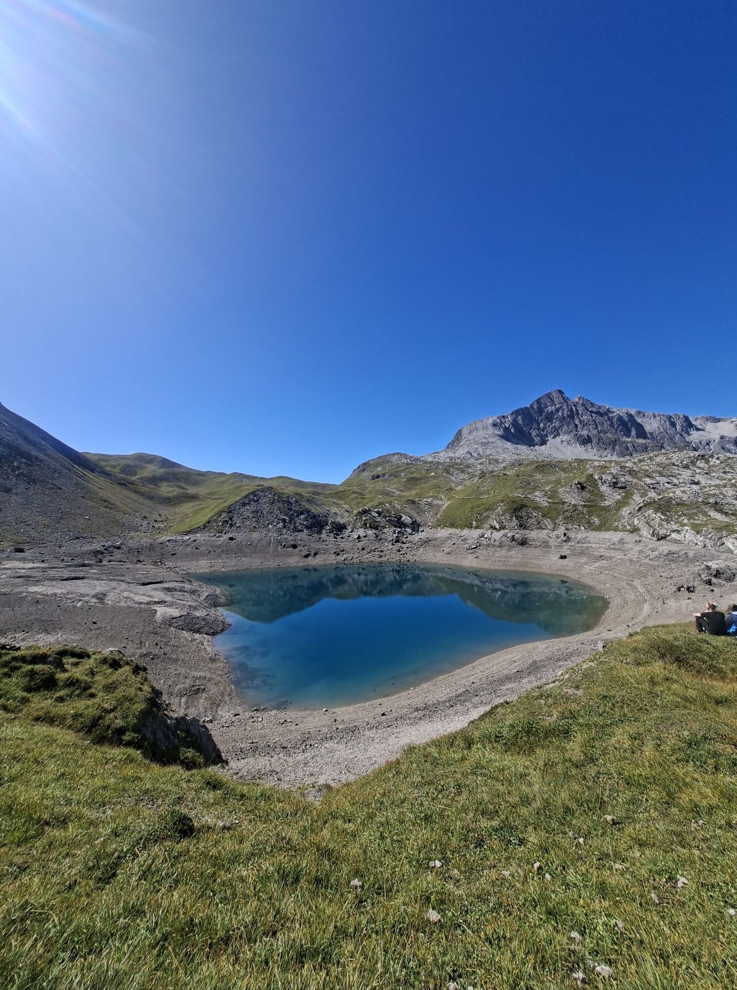
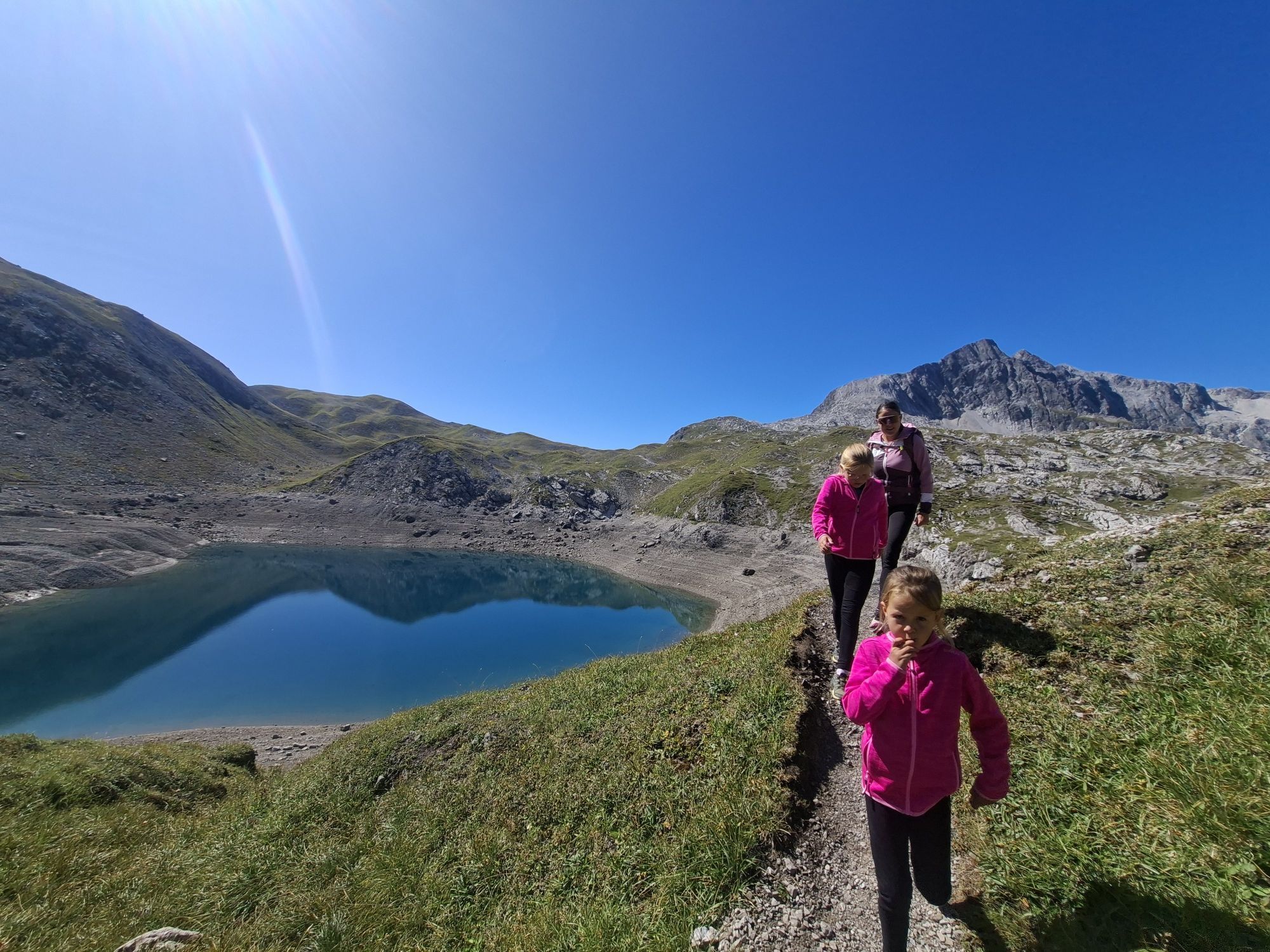
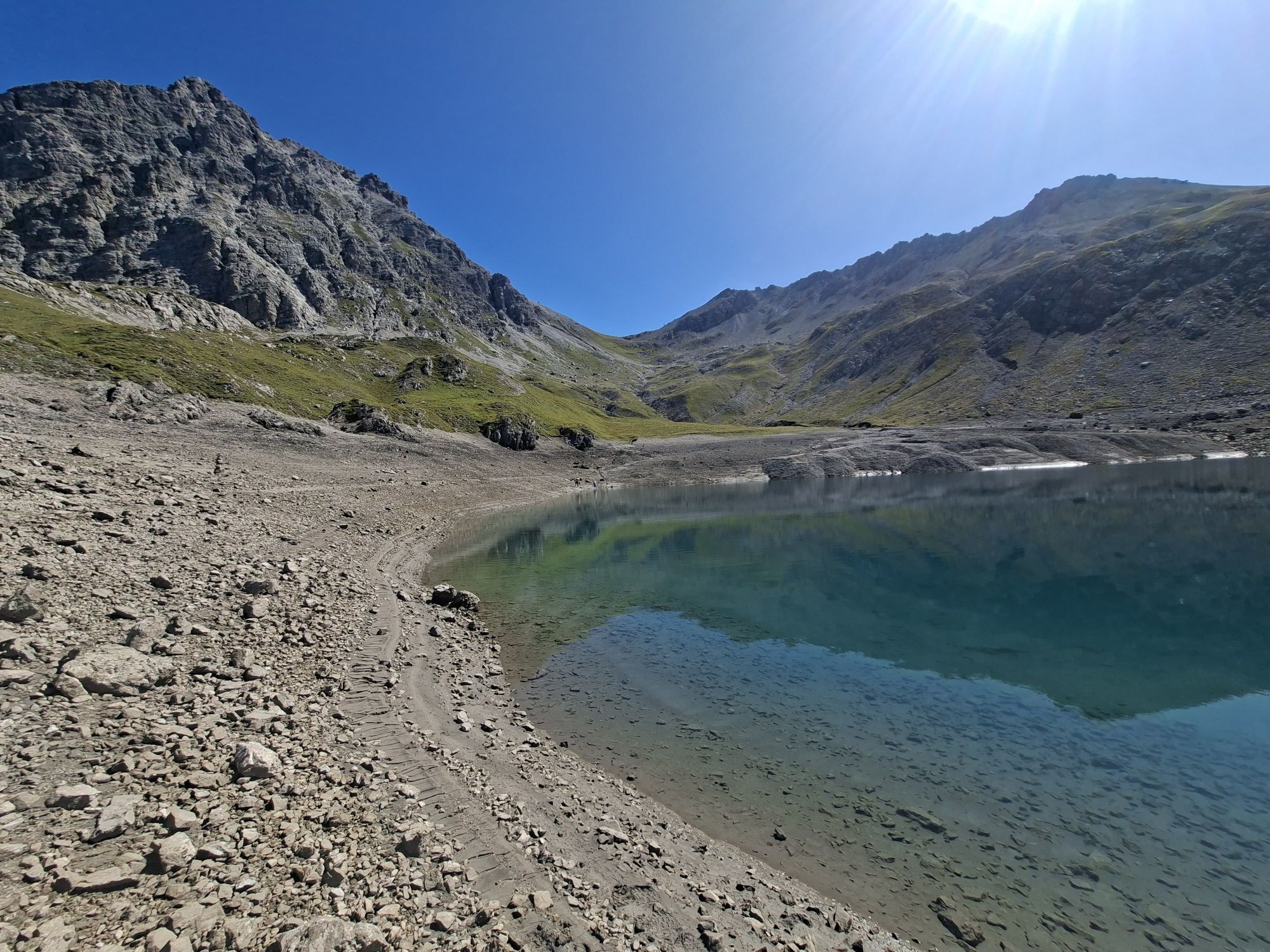
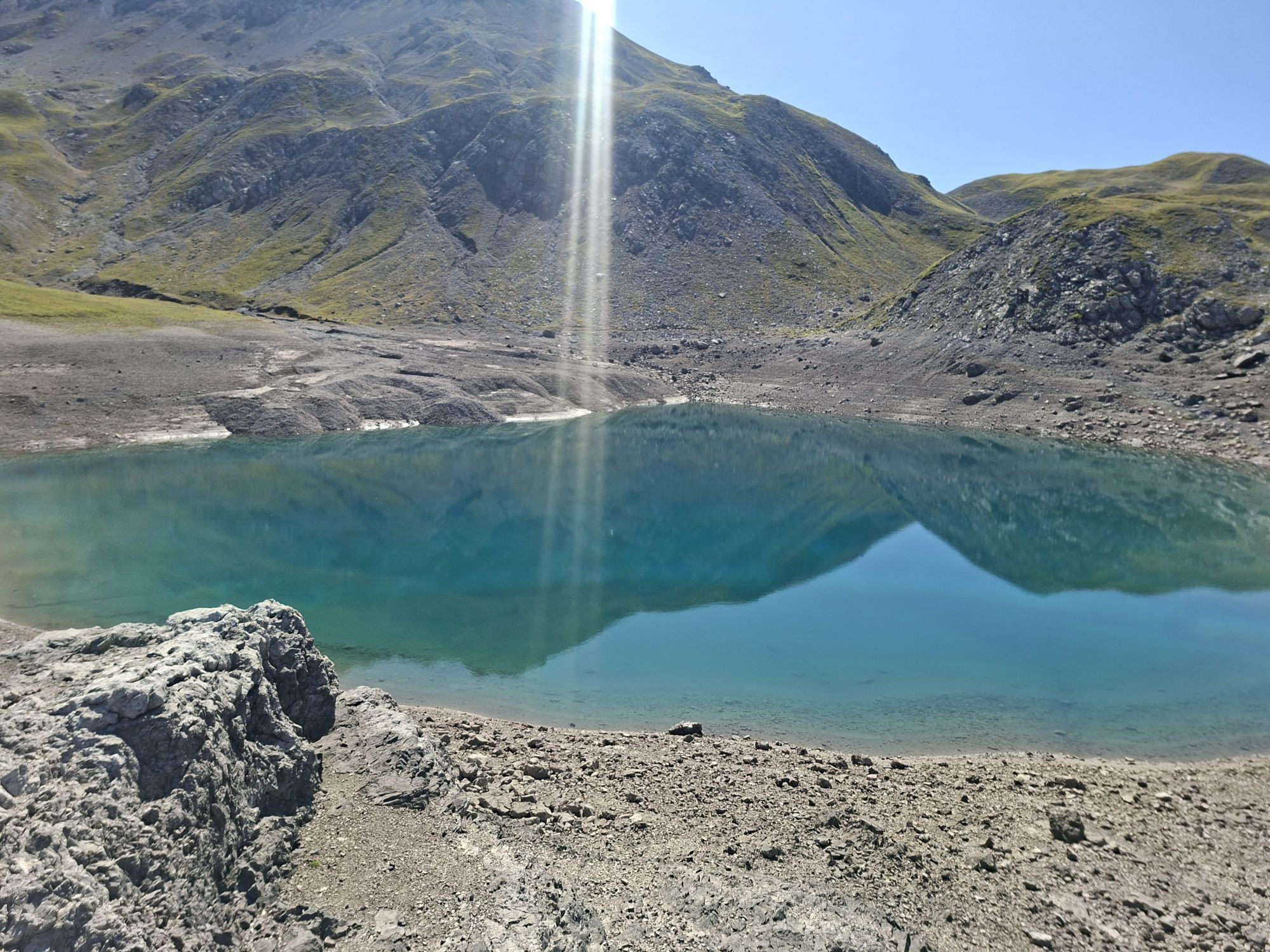
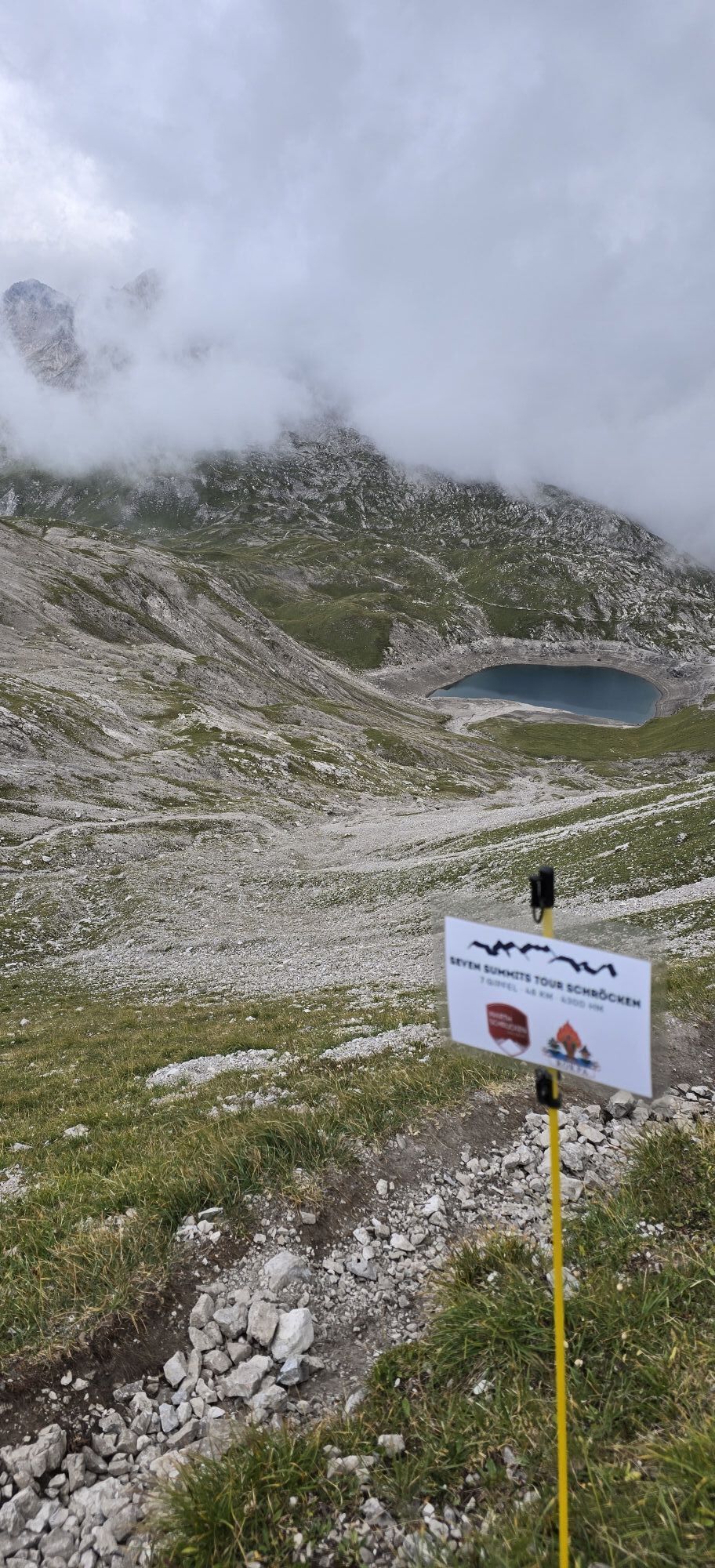
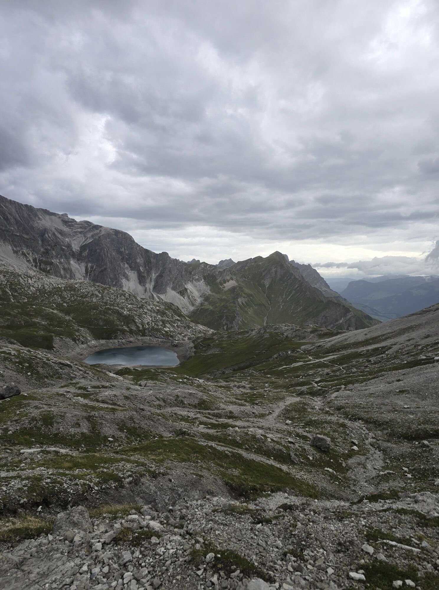
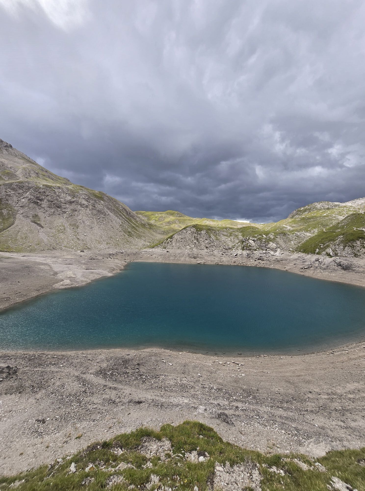
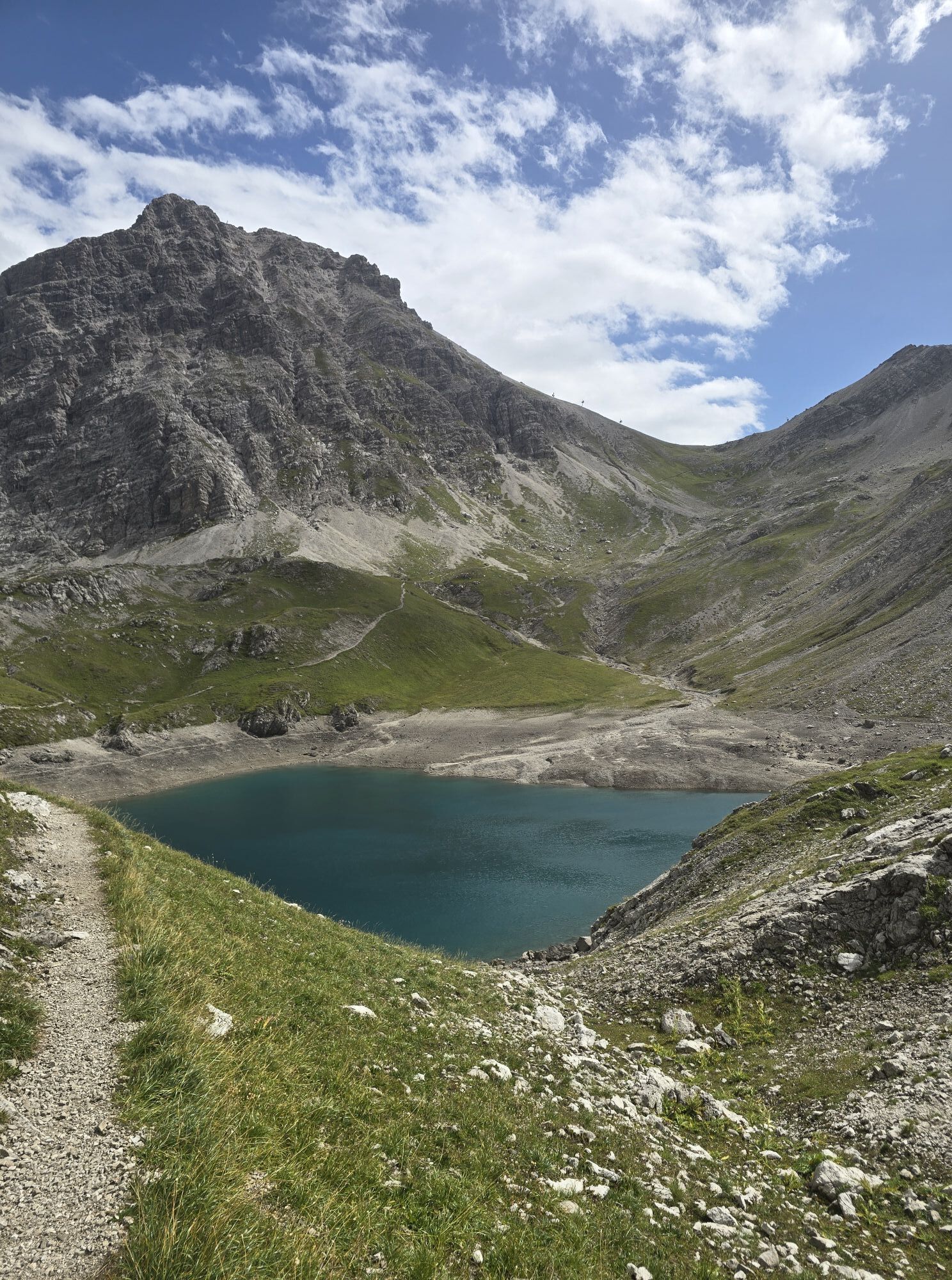
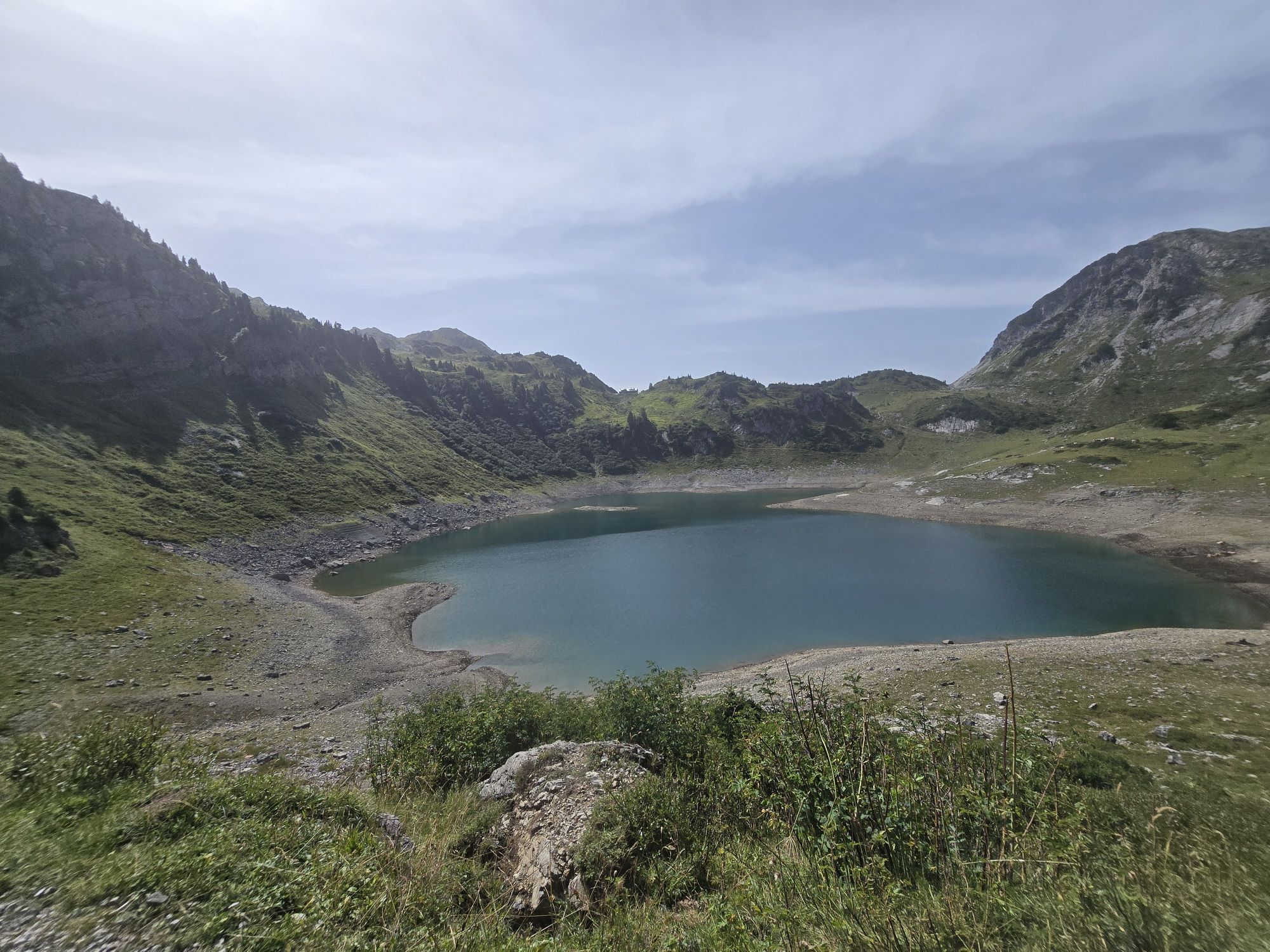
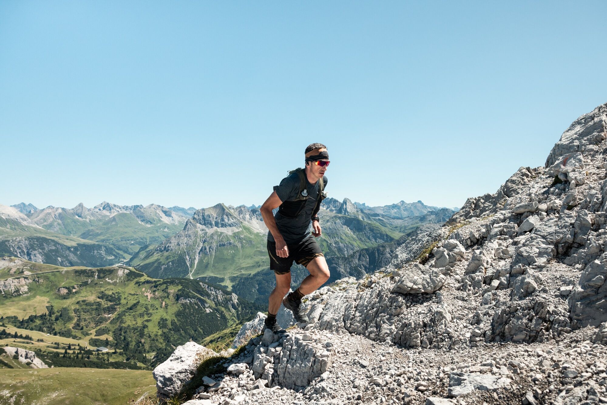
The Arlberg Classic 40K features a variety of terrains: from gentle forest trails and meadow sections to flowing natural trails, as well as scree fields and rocky stretches in high-alpine terrain. Especially...
As of September 30, 2026

Aus der Schweiz: Über die A13 und den Grenzübergang Feldkirch, Hohenems oder Lustenau auf die A14 bis nach Bludenz. Weiter auf der S16 bis zur Ausfahrt Lech Zürs am Arlberg. Auf der B197 durch Stuben über die Serpentinen zur Flexengalerie und über den Flexenpass gelangen Sie nach Lech Zürs am Arlberg.
Aus Österreich: Über die Inntalautobahn A12 und weiter über die S16 bis zur Ausfahrt St. Anton am Arlberg (Arlbergpass). Der B197 zunächst durch St. Anton, dann durch St. Christoph und über den Arlbergpass bis zur Alpe Rauz folgen. Hier rechts biegen auf die B198. Durch die Flexengalerie und über den Flexenpass gelangen Sie nach Lech Zürs am Arlberg.
Mit der Bahn bis zum Bahnhof Langen am Arlberg oder St. Anton am Arlberg. Von dort fahren Busse (Nr. 750+760) im regelmäßigen Takt nach Lech Zürs am Arlberg.
Sie können Ihr Fahrzeug entweder direkt bei Ihrem Gastgeber parken oder in der Tiefgarage Anger abstellen. Die Tiefgarage befindet sich direkt im Ortszentrum gegenüber vom Dorfhus.
Webové kamery z prohlídky
-
Flühenlift
-
Oberlech
-
Zürs - Seekopf
-
Lech am Arlberg - Hotel Goldener Berg Oberlech
-
Lech am Arlberg - Pension Bergland
-
Warth-Schröcken - Saloberarena
-
Warth-Schröcken - Saloberjet
-
Lech am Arlberg - Kriegerhornbahn
-
Schröcken
-
Lech am Arlberg - Sporthaus
-
Ravensburger Hütte
-
Ravensburger Hütte
-
Körbersee
-
Schröcken - Oberboden
-
Zug
-
Lech am Arlberg
-
Oberlech - Pension Bergland
-
Lech - Wöstersattel
-
Schmelzhof
-
Chalet Anna Maria
-
Lech Rüfikopf
-
Warth
-
Haldenhof

Oblíbené prohlídky v okolí
-
4.7
Kristberg - Wasserstubental - Silbertal
světloTuristika 13.8 km -
4.6
Over the historic mine and Fritzensee to Rellseck
středníTuristika 7.25 km -
4.1
Stuben - Stubner See - Kaltenberghütte - Stuben
středníTuristika 9.90 km -
4.9
Alpgues Runde
středníTuristika 9.21 km -
4.9
Braunarlspitze
heavyTuristika 16.6 km -
4.6
Muttersberg - Fraßenhütte - Fraßen - Tiefenseesattel Nüziders, Österreich
středníTuristika 10.1 km -
3.3
Dalaas - Freiburgerhütte
středníTuristika 8.40 km -
4.3
Köbersee
světloTuristika 6.66 km -
4.7
From Klostertal over the Muttjöchle back to Montafon
středníTuristika 6.70 km -
4.8
Marul, Vorarlberg Kellaspitze
středníTuristika 9.53 km
Pěší turistika a stopování


Nenechte si ujít nabídky a inspiraci pro vaši příští dovolenou
Vaše e-mailová adresa byl přidán do poštovního seznamu.





