


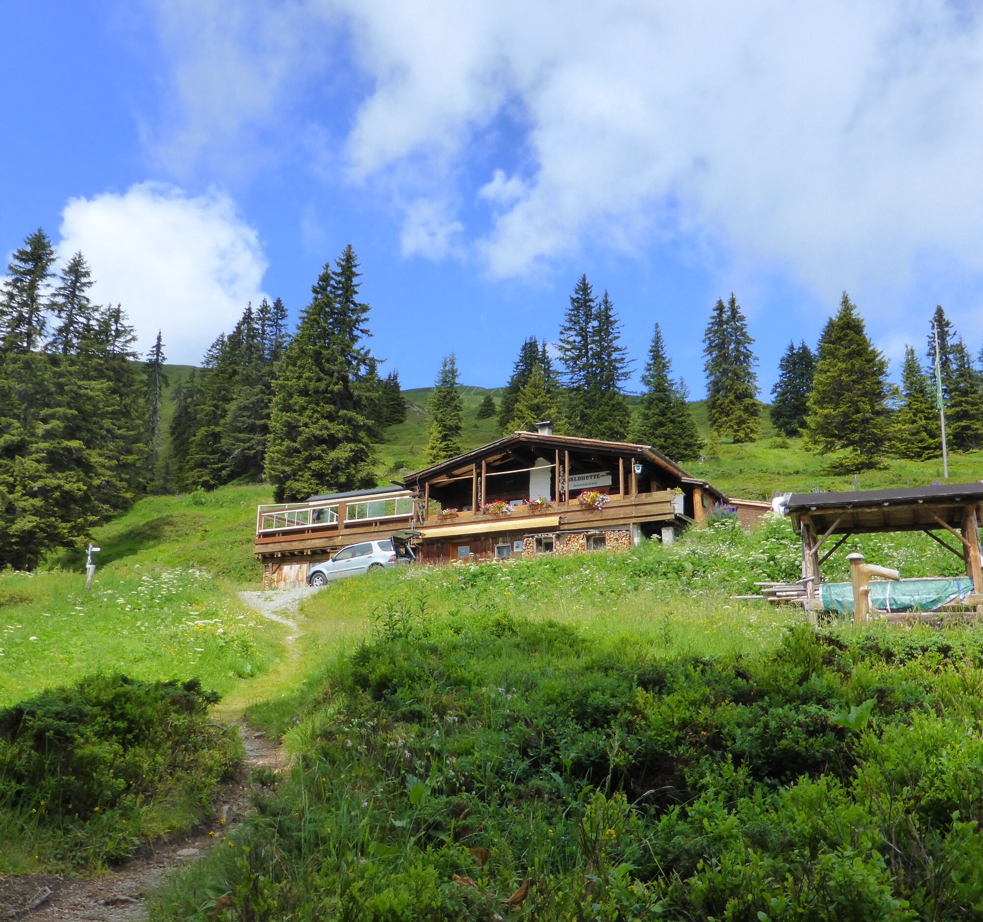
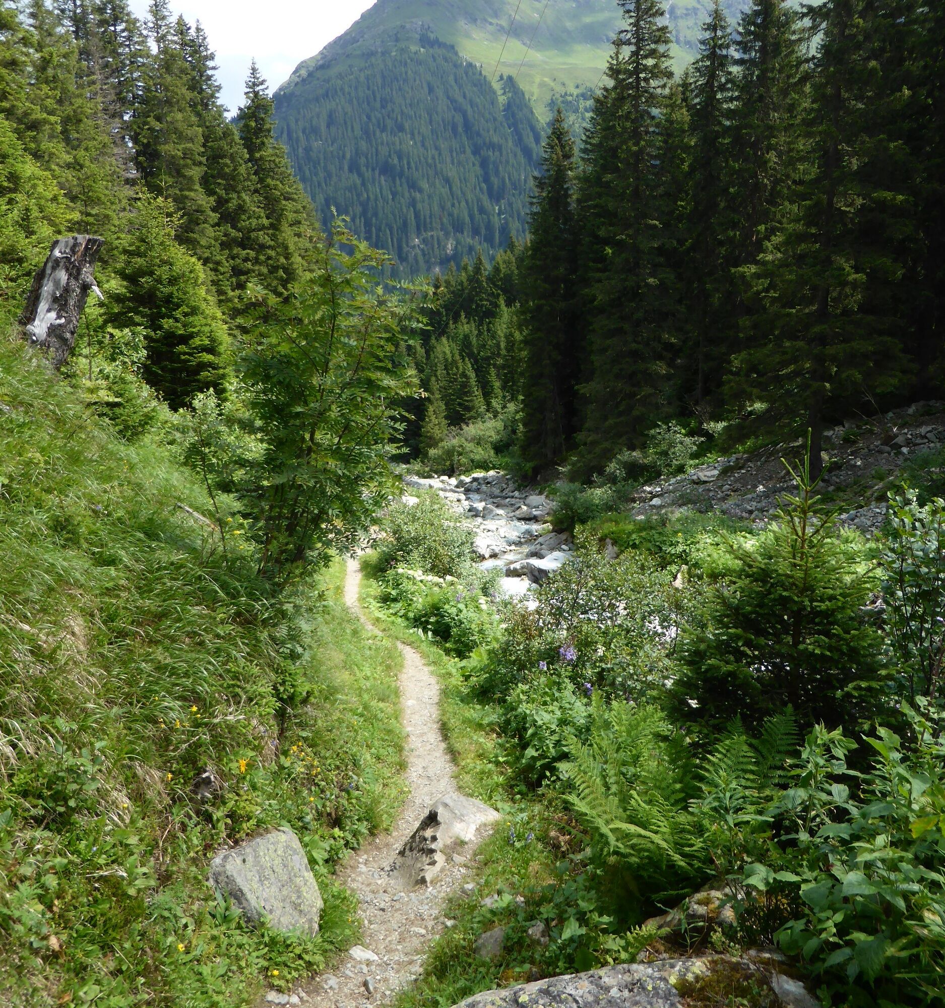
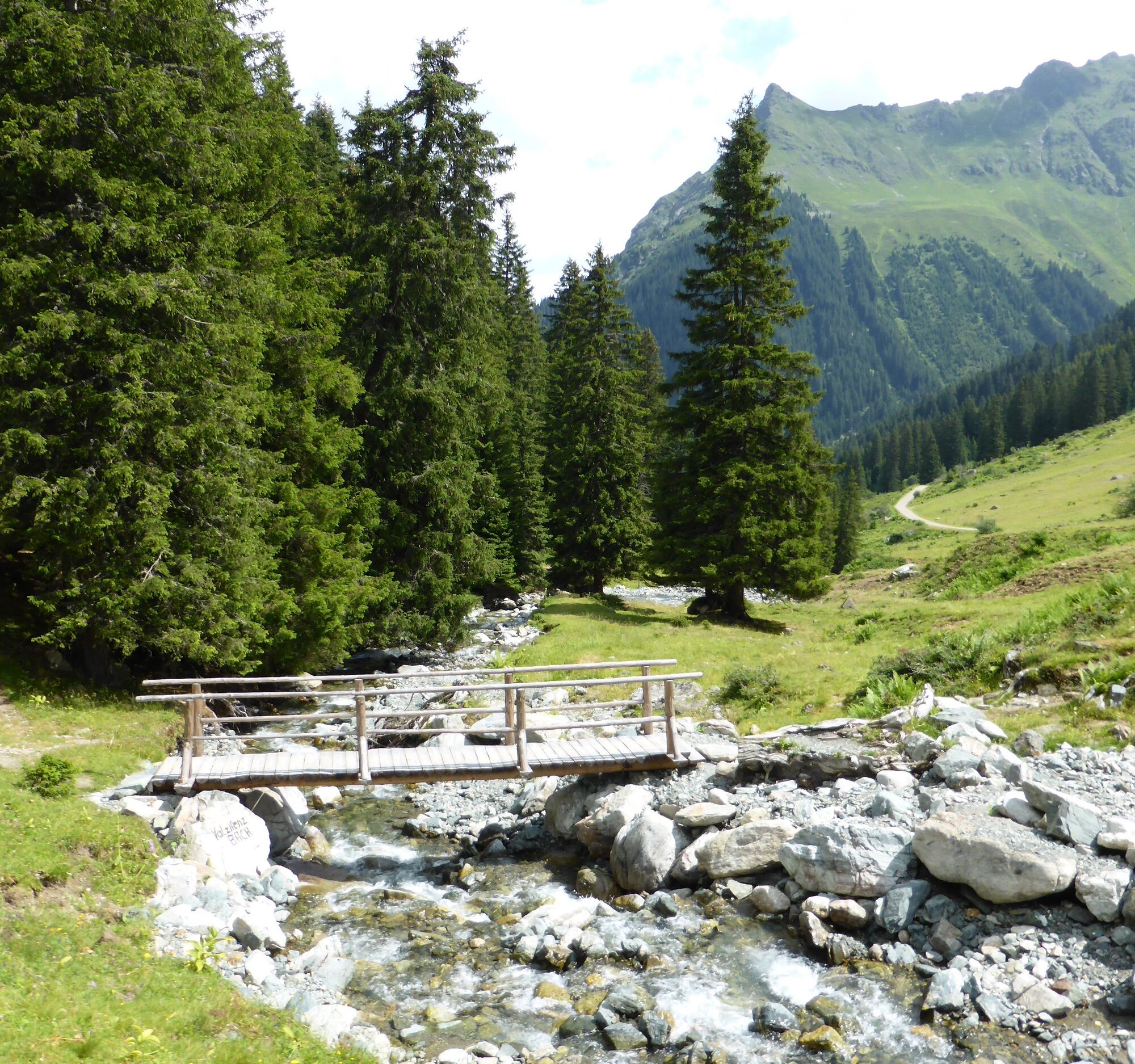
3-Alps Route Gargellen
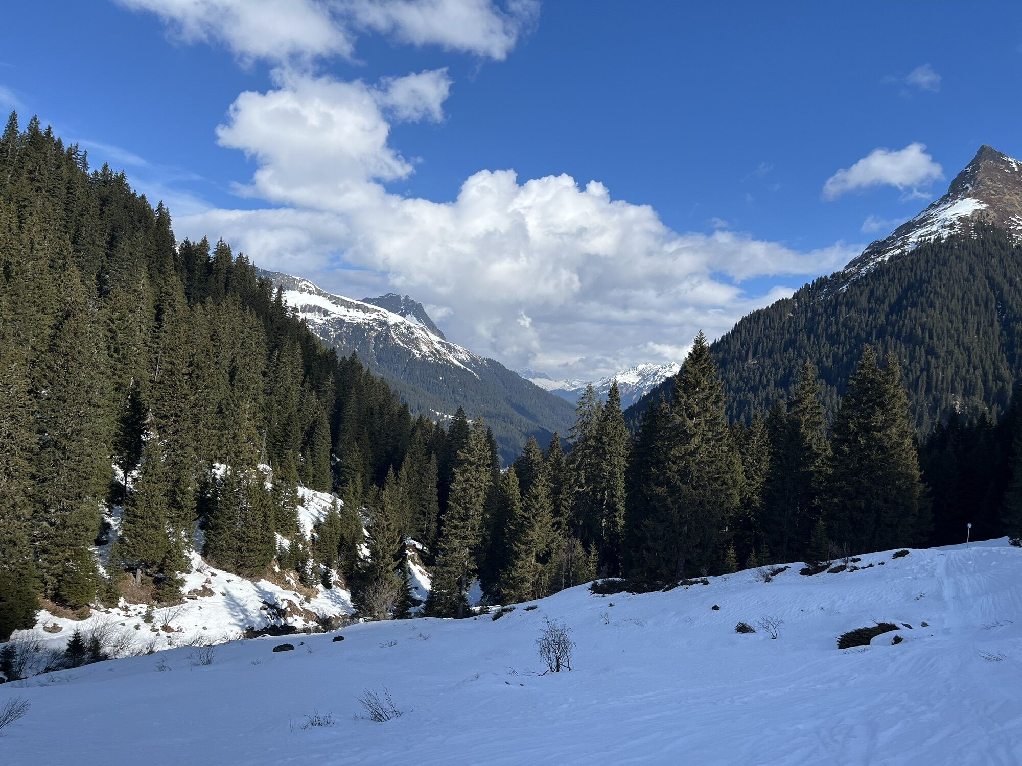

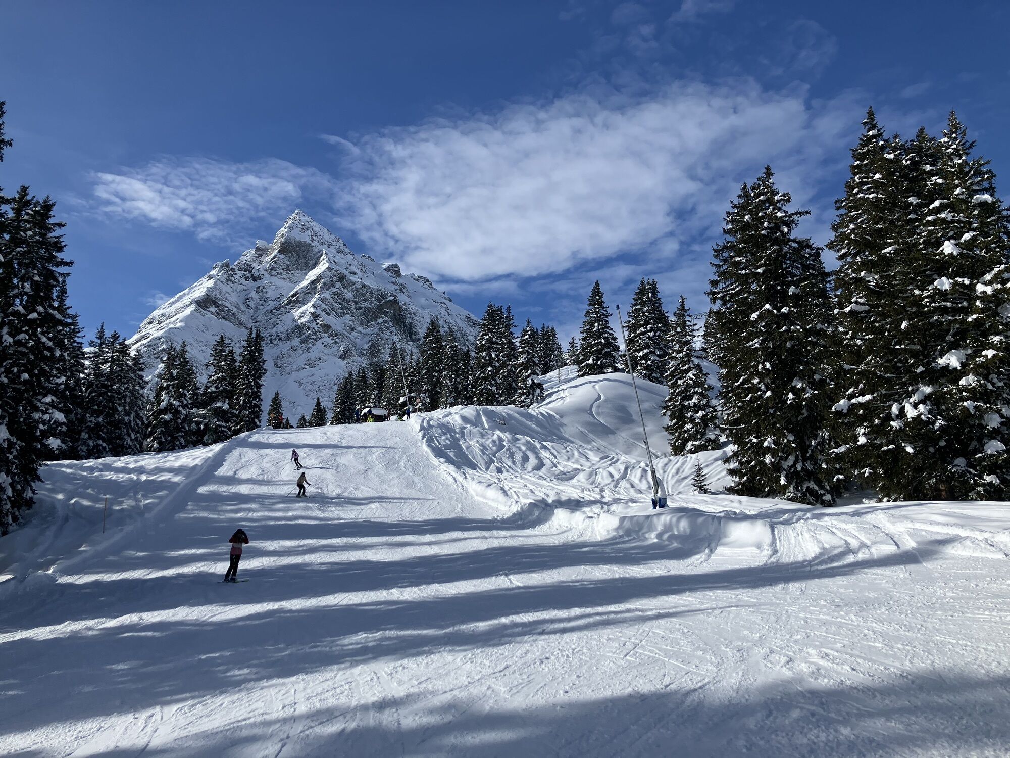
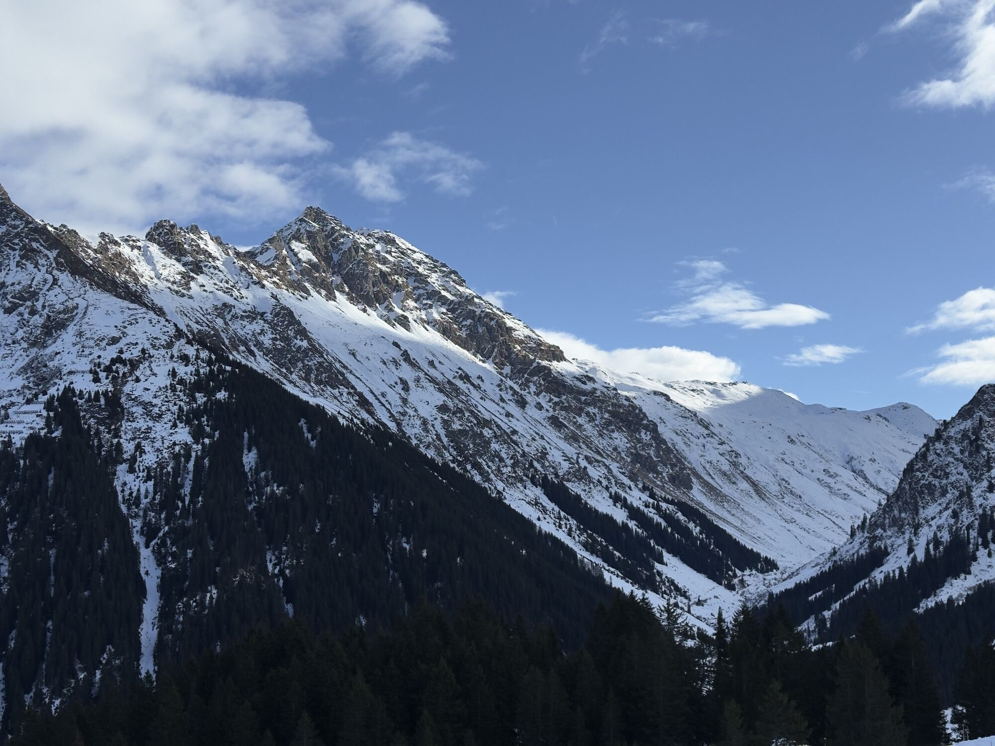
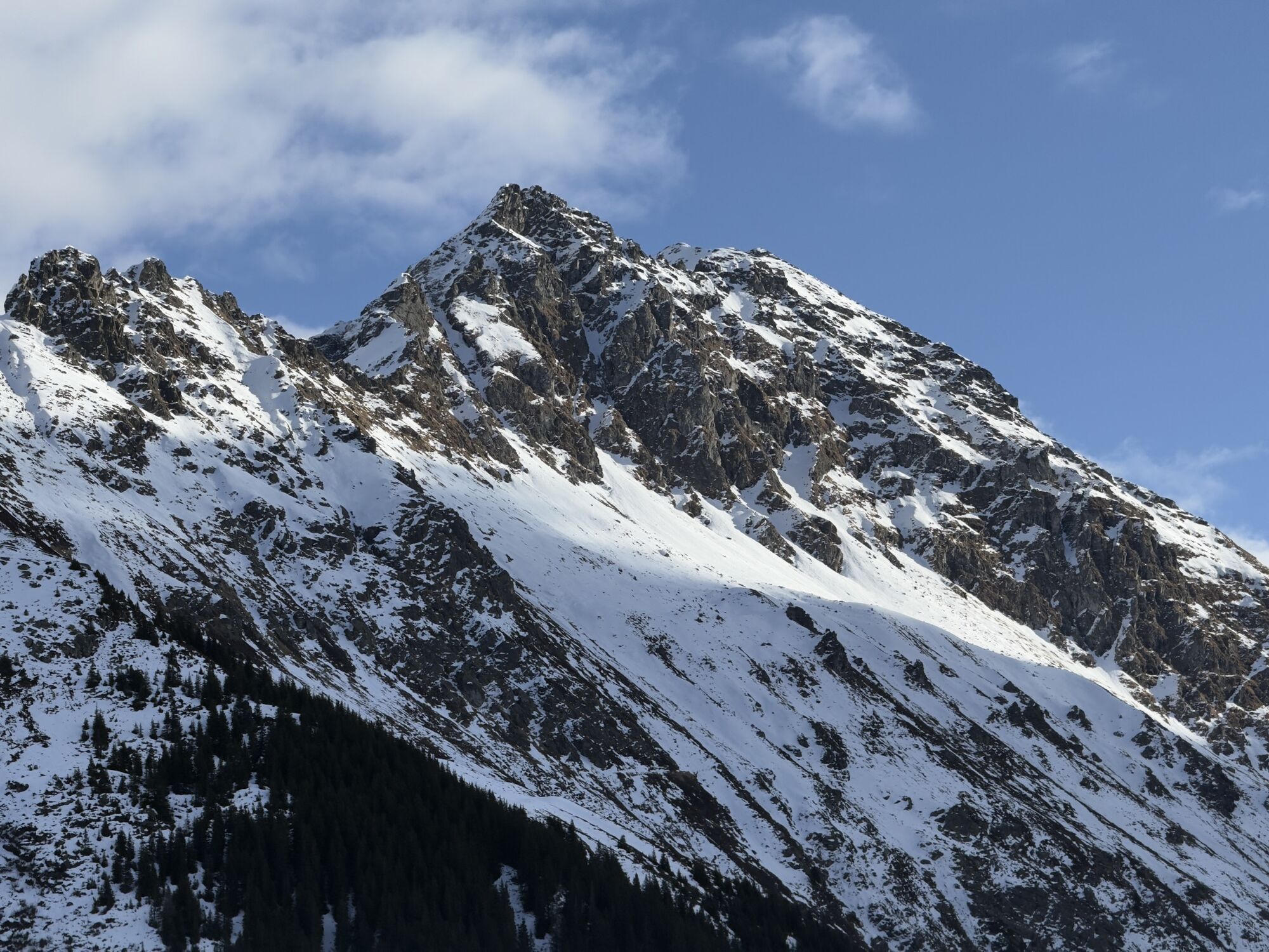

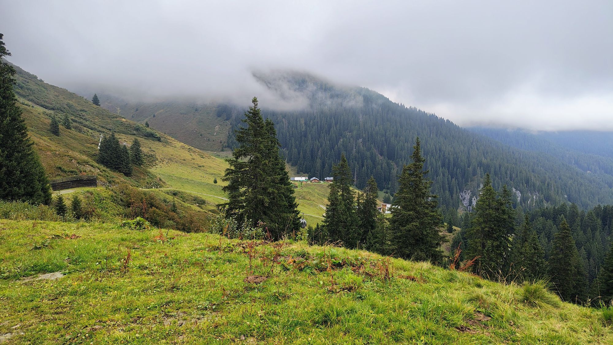
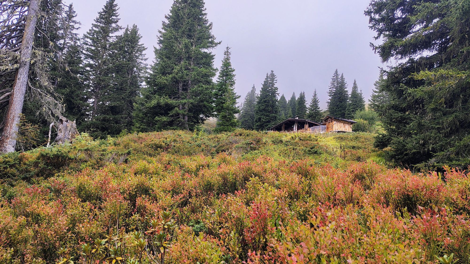
Long, challenging route high above the valley floor with a fantastic panoramic view of the Gargellen mountain world. Forest and mountain paths, gravel.

140 Alpine emergencies Austria-wide
144 Alpine emergencies Vorarlberg
112 Euro emergency call (works with any mobile phone/network)
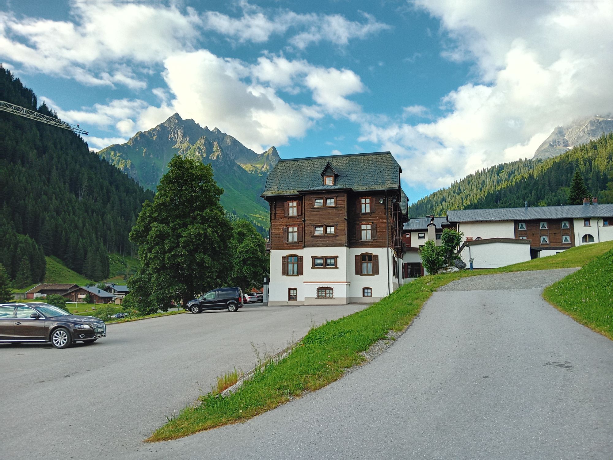
Coming from Schruns on the L188, turn right at the guesthouse Muntafunerhüsli (near St. Gallenkirch) over the bridge into the road to Gargellen.
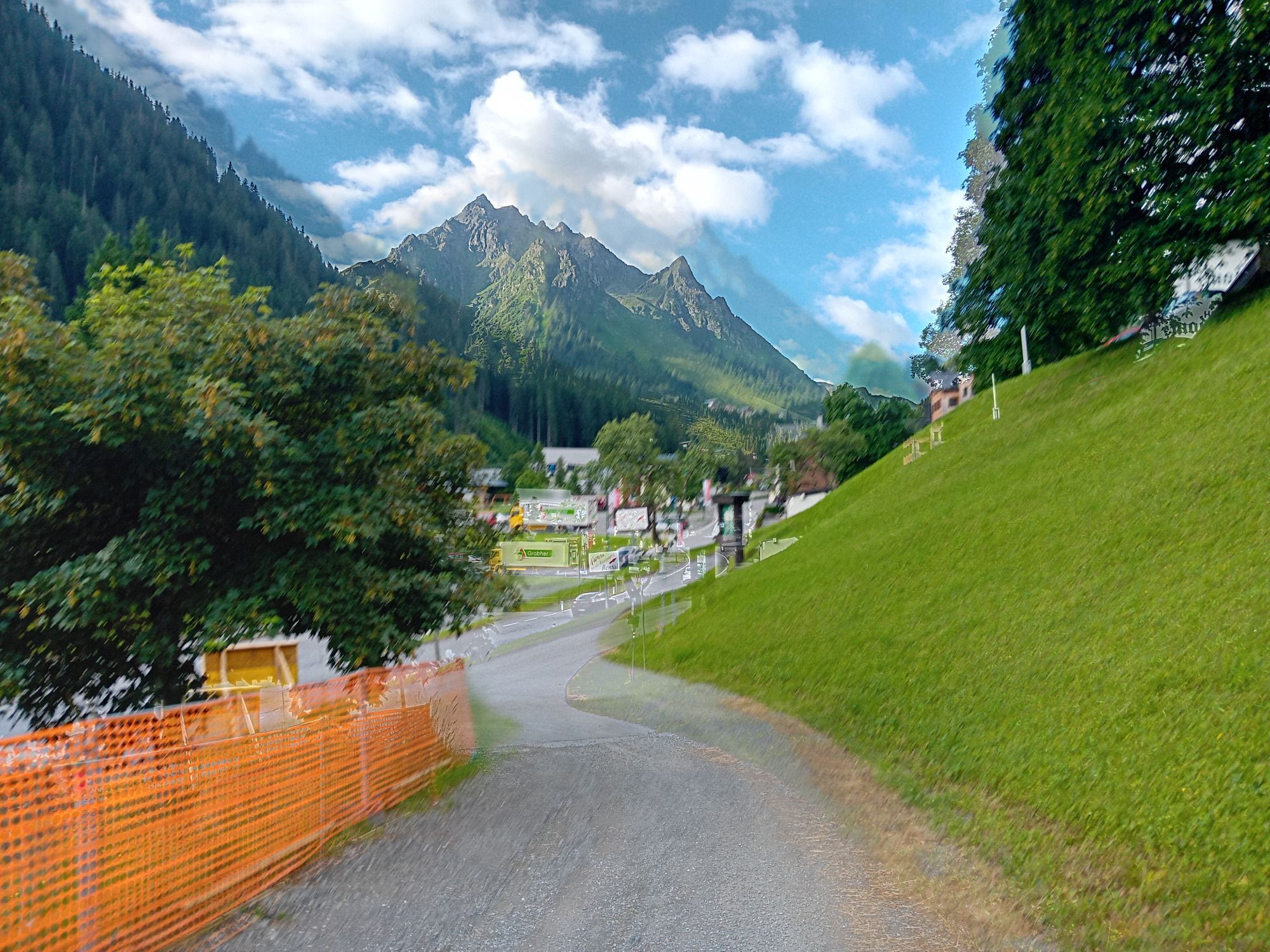
The regional buses of Montafonerbahn operate throughout Montafon. The main lines run hourly from Schruns station. With bus line 87, you can get from Schruns station to Gargellen. There you get off at the final stop "Schafbergbahn" and reach the valley station Bergbahnen Gargellen within about 5-10 minutes on foot via the bridge.
For the return journey:
From Gargellen you can get to Schruns station with bus line 87.
Arrival by train
From Bludenz station, the Montafonerbahn runs hourly (partly half-hourly). There are also direct connections from Lindau (D) or from Bregenz.
Car park next to the valley station Bergbahnen Gargellen.
Oblíbené prohlídky v okolí
-
5.0
Ski tour to the Lindauer Hut (1,744 m)
světloLyžařská trasa 14.0 km -
4.7
Smuggler’s path
středníTematická stezka 8.60 km -
4.4
Golm-Rundwanderweg im Rätikon
středníTematická stezka 7.28 km -
4.7
Over the historic mine and Fritzensee to Rellseck
středníTuristika 7.25 km -
4.2
Golmerbahn Bergstaion Grüneck - Golmer Höhenweg - Geißspitze - Lindauer Hütte - Latschau
středníTuristika 11.5 km -
4.4
Madrisella summit path
středníTematická stezka 10.8 km -
3.0
Bergstation Grüneck Golmerbahn - Alpe Latschätz - Lindauer Hütte - Latschau
světloTuristika 11.1 km -
5.0
Around the Kirchlispitzen (2,552 m)
heavyTuristika 14.8 km -
5.0
Wiegensee-Kopssee
středníTuristika 8.17 km -
4.5
Zamangspitze summit path
středníTematická stezka 7.07 km
Pěší turistika a stopování


Nenechte si ujít nabídky a inspiraci pro vaši příští dovolenou
Vaše e-mailová adresa byl přidán do poštovního seznamu.