







Mining path

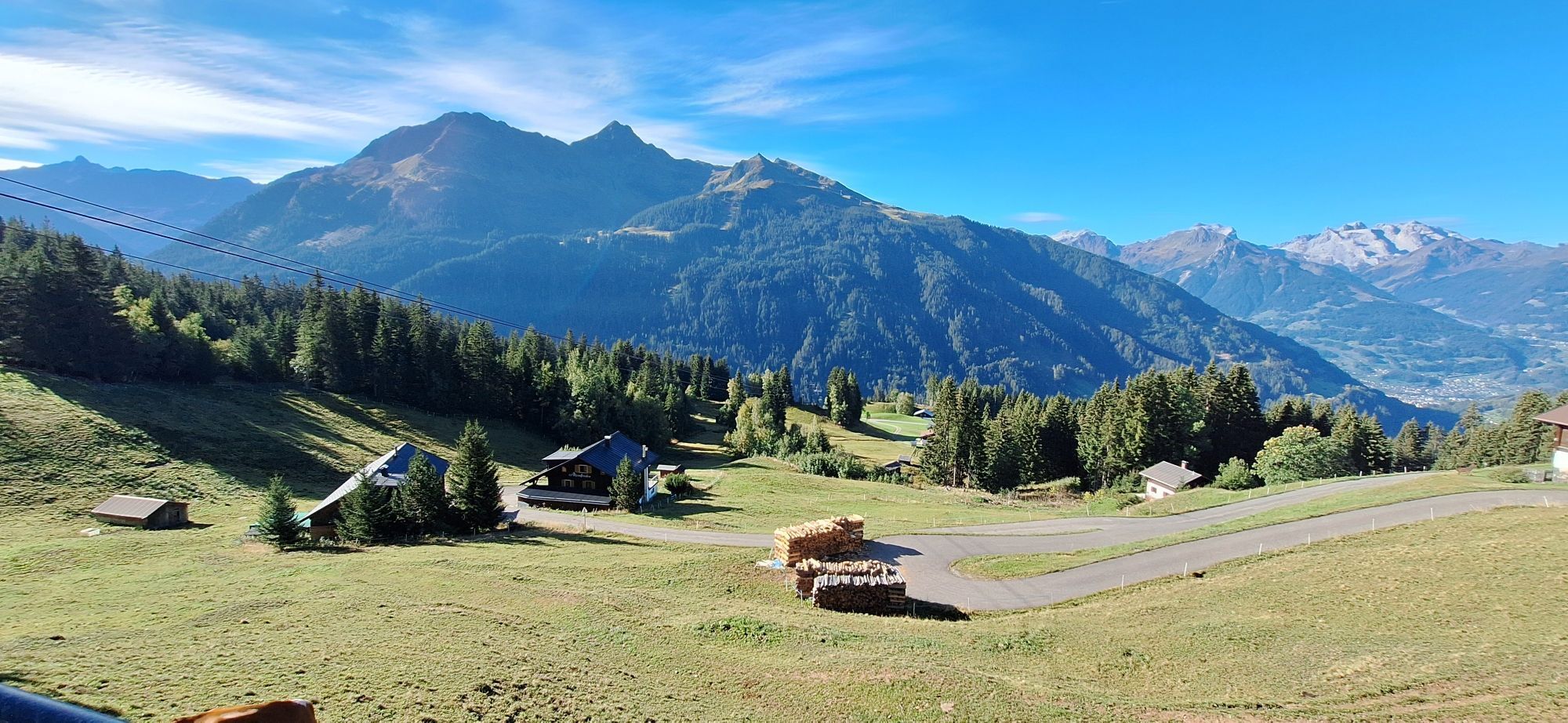
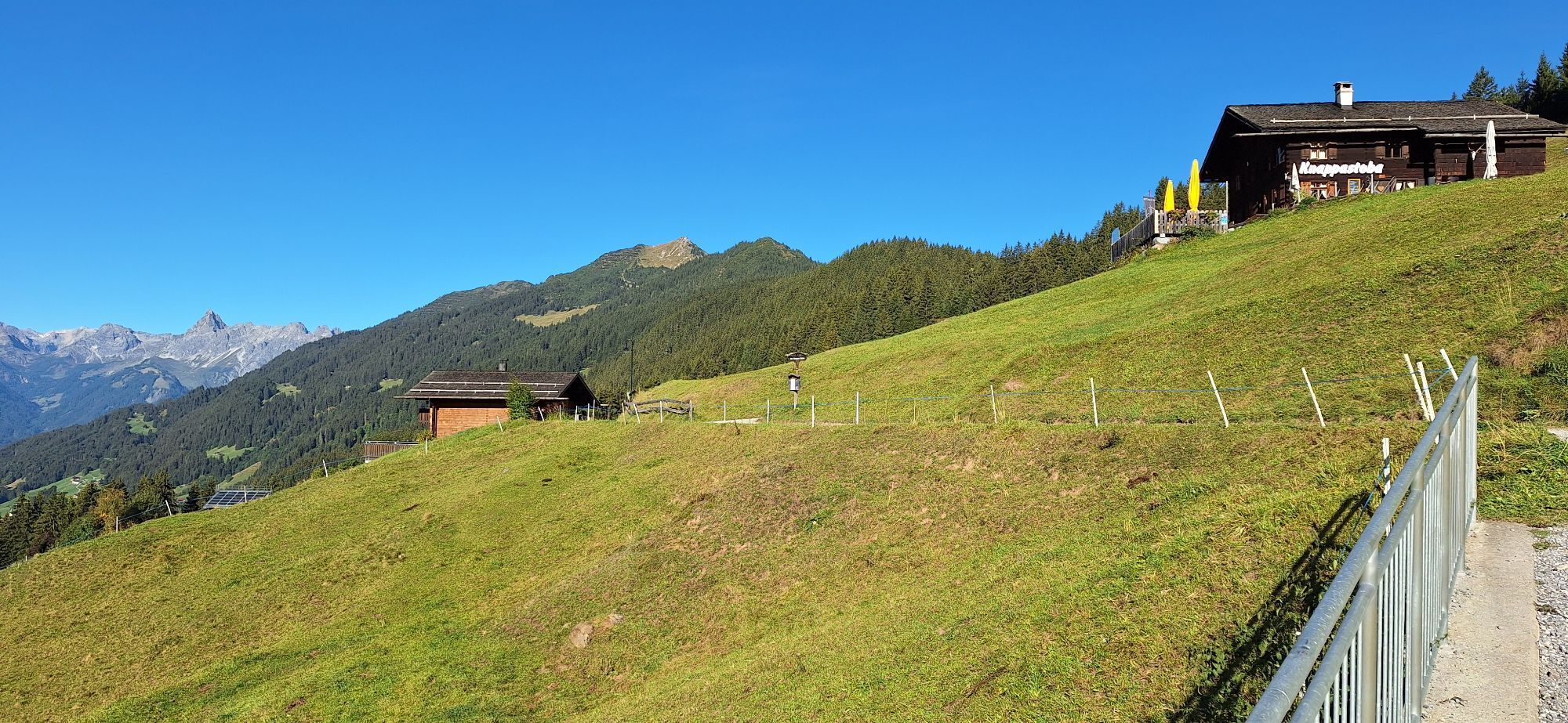
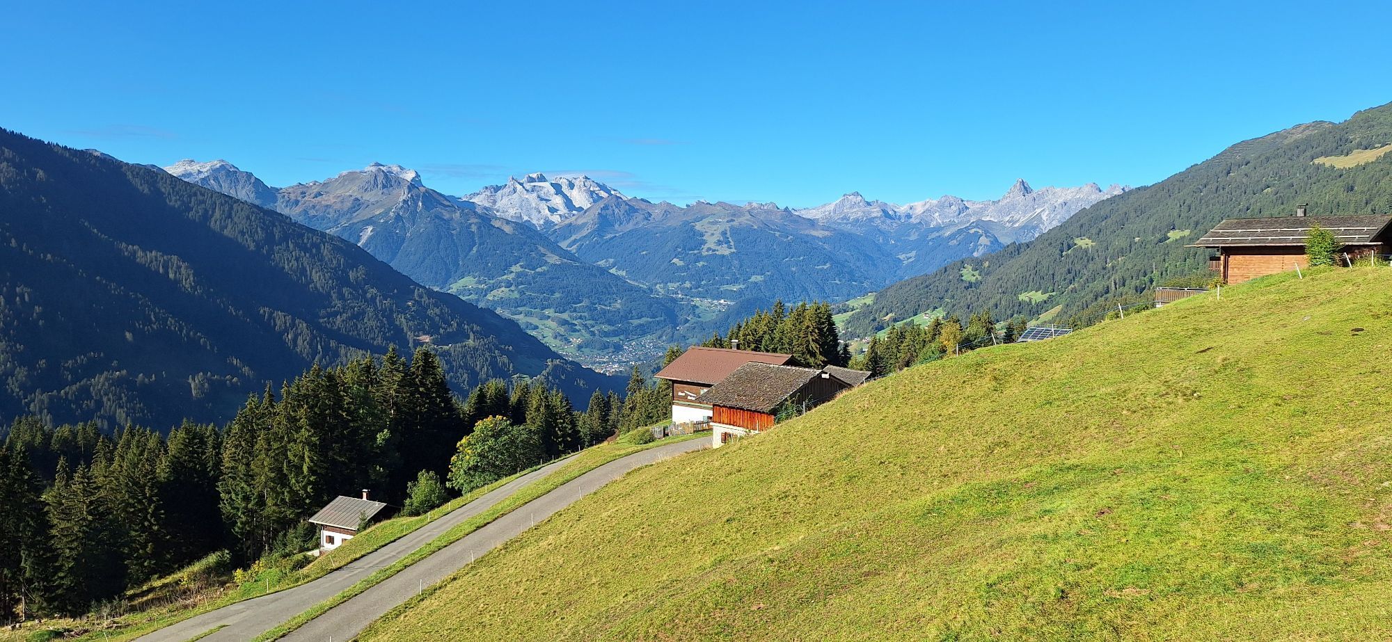
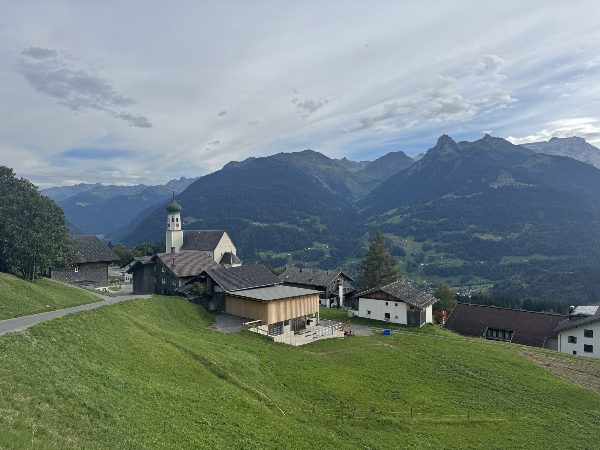
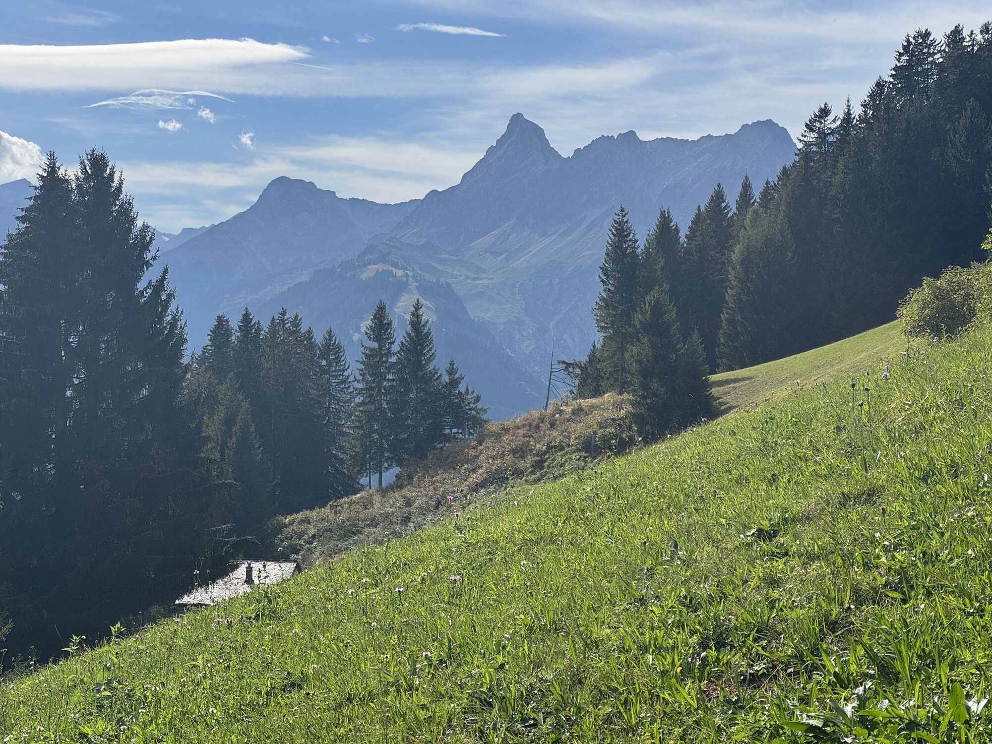
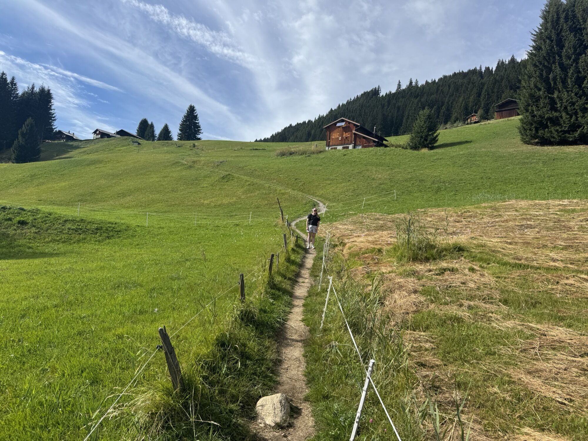
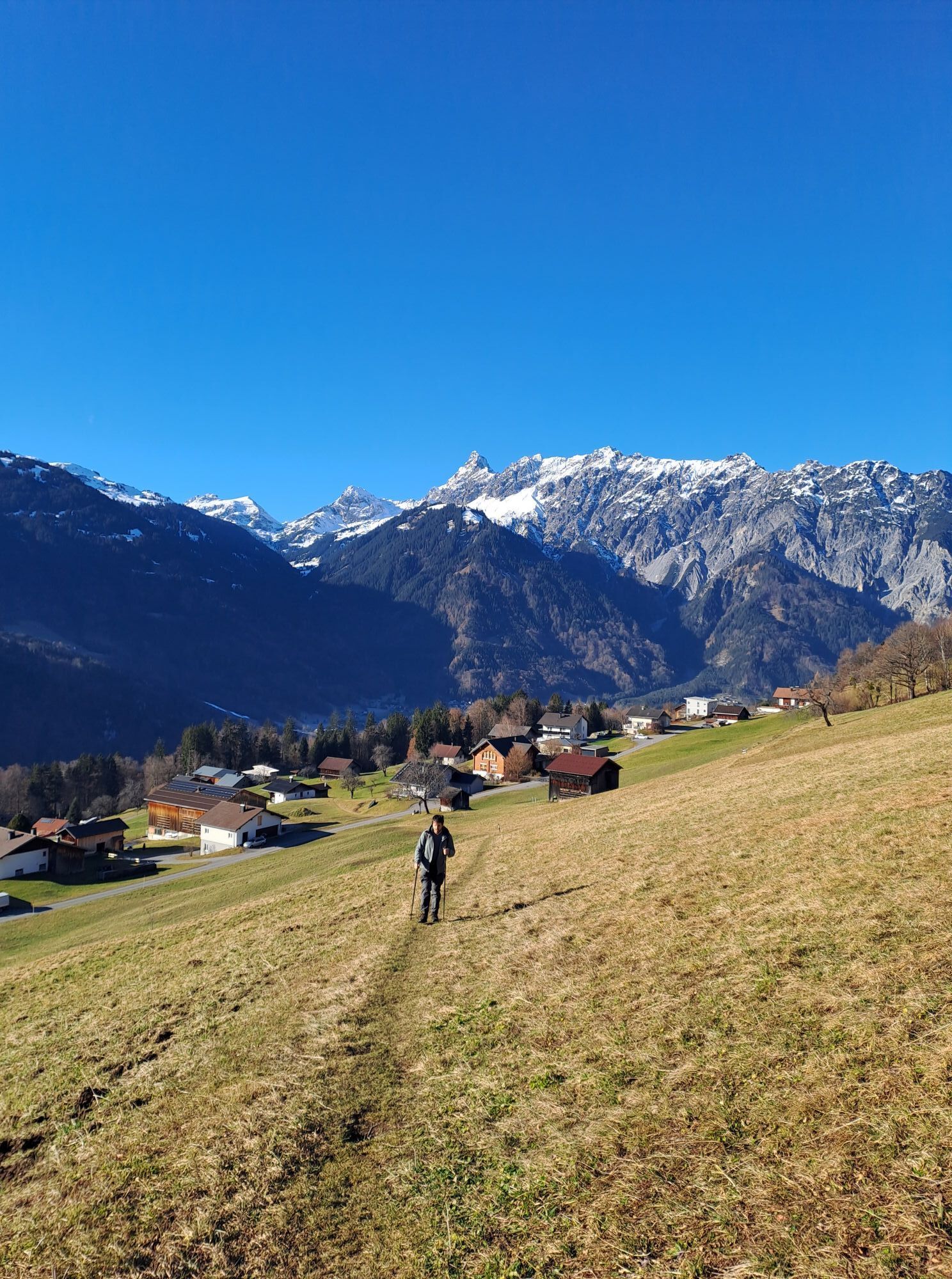
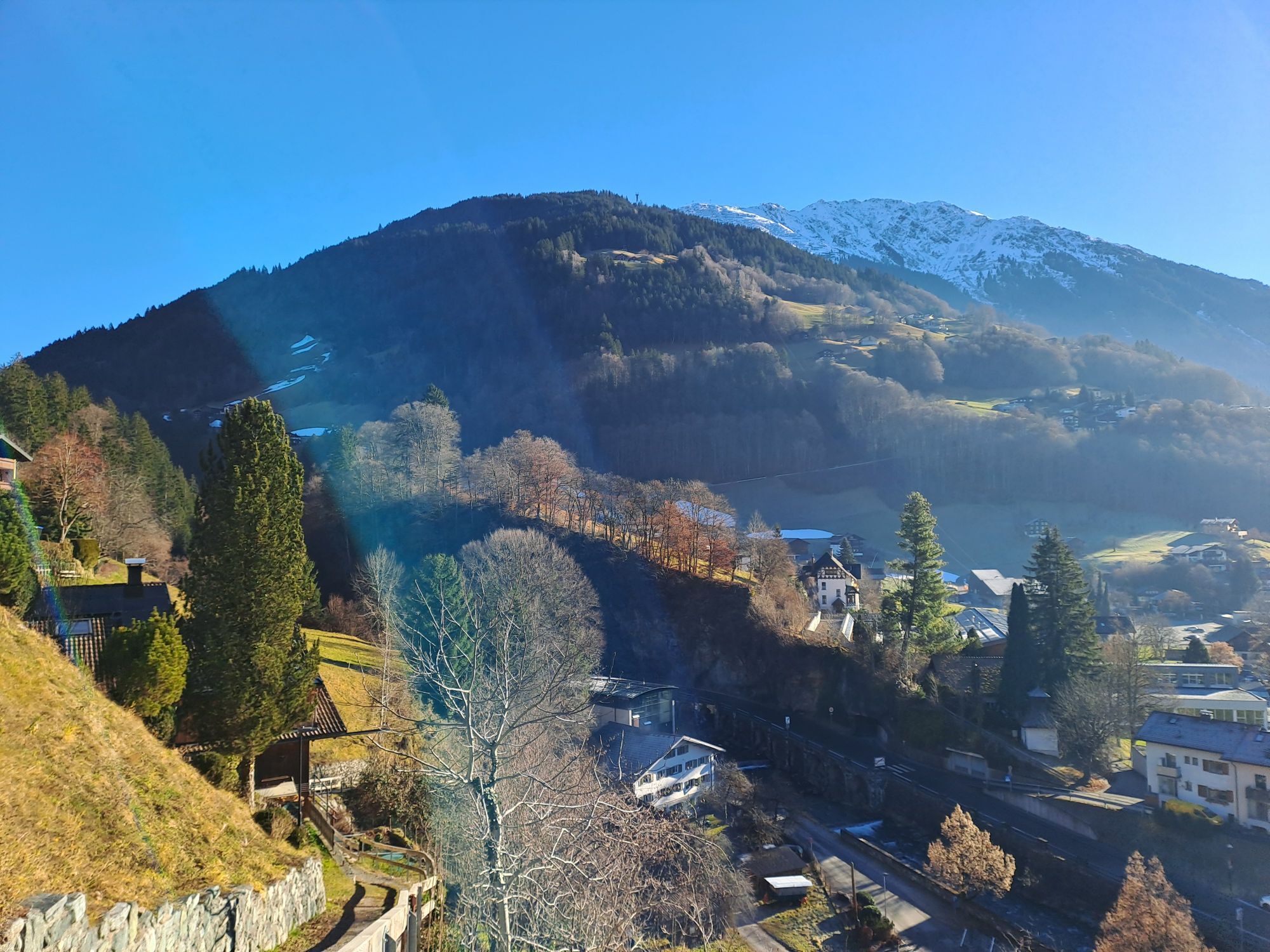

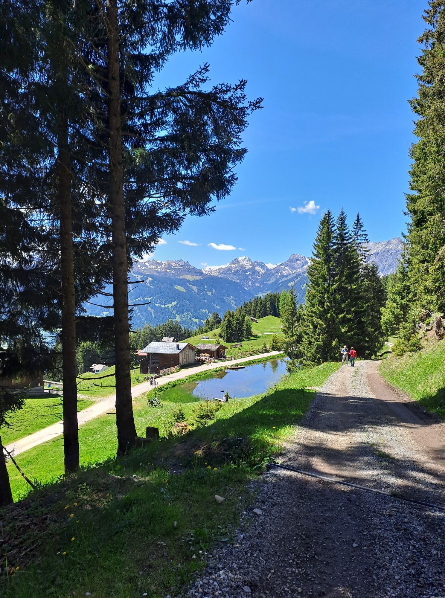
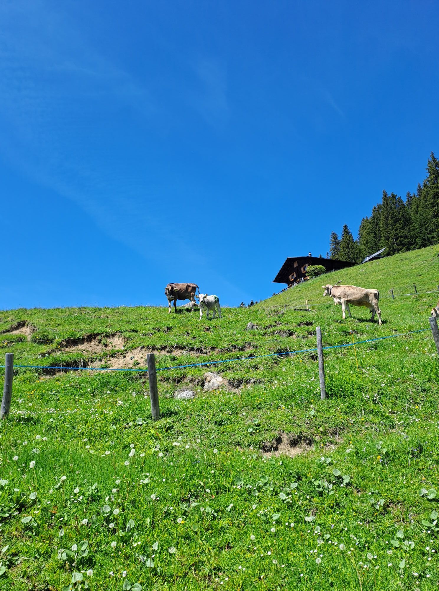
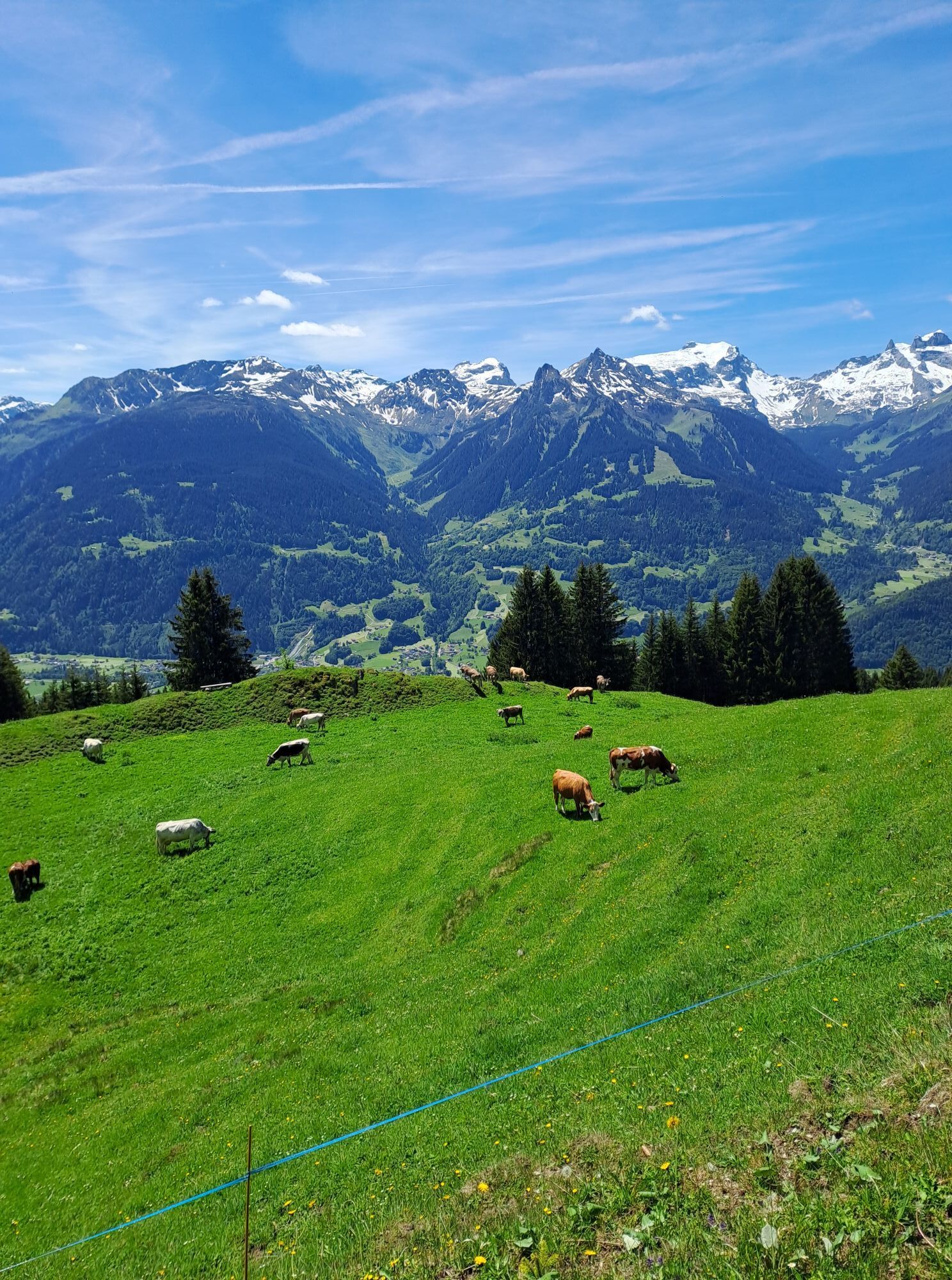
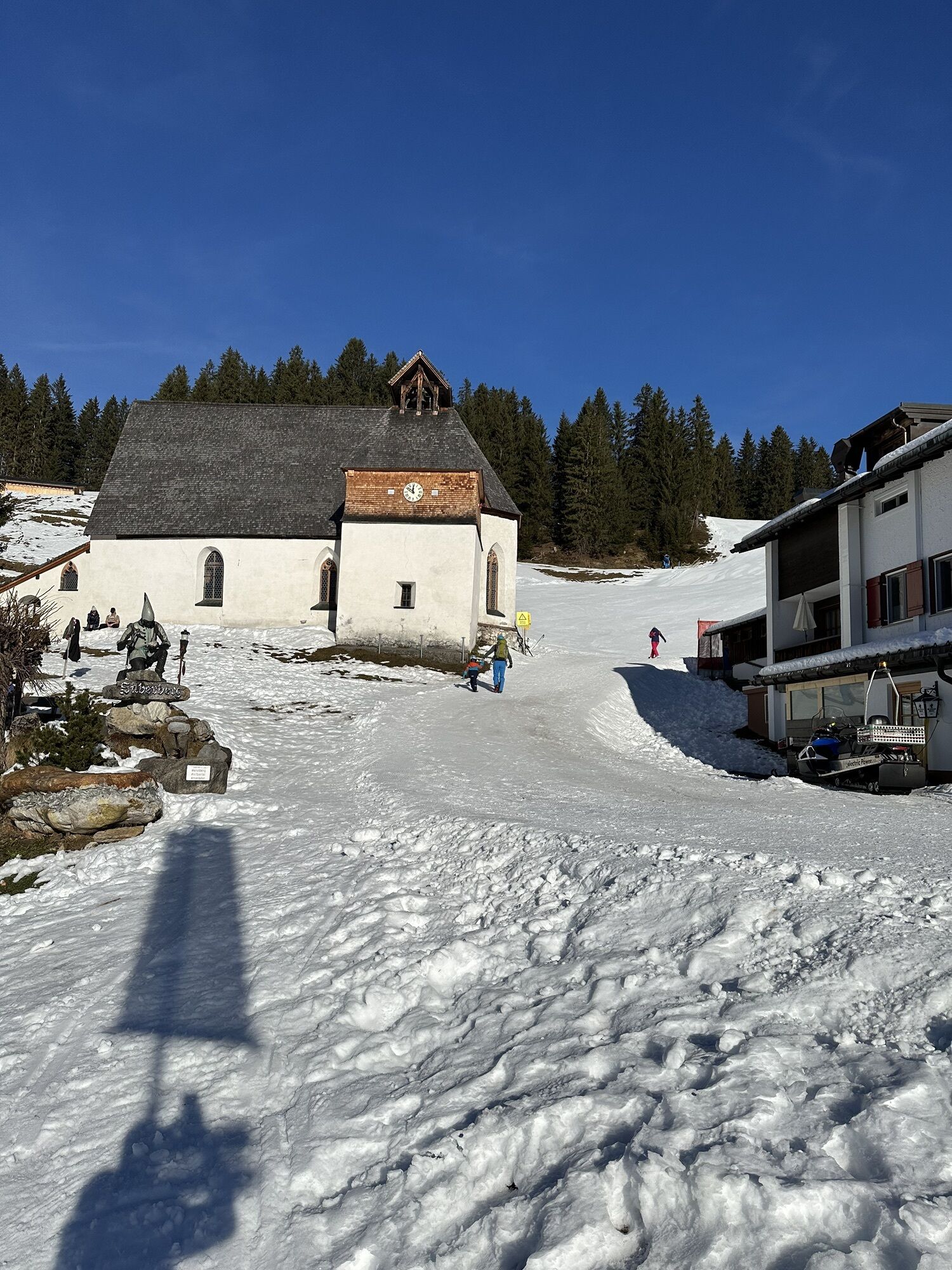
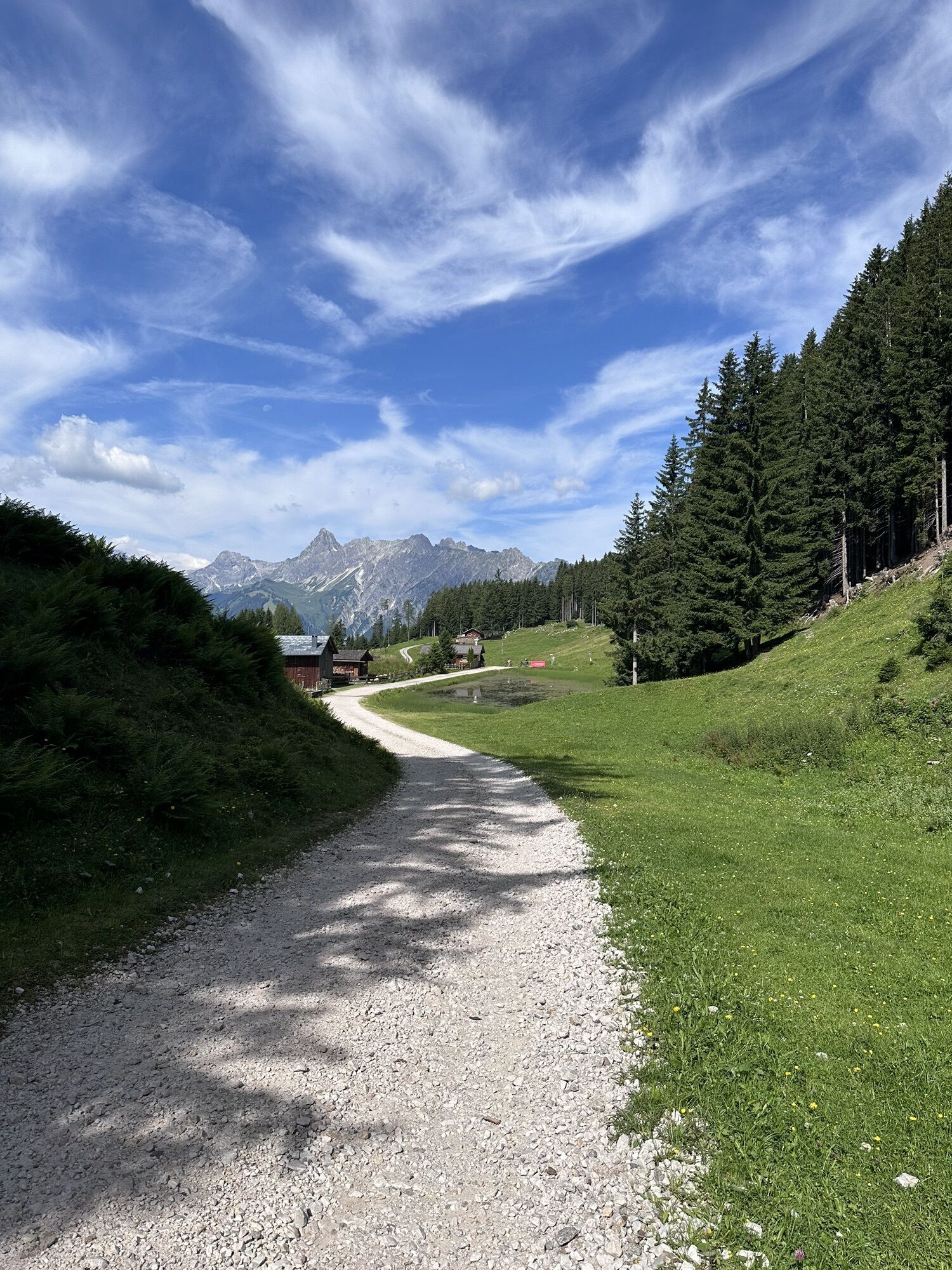
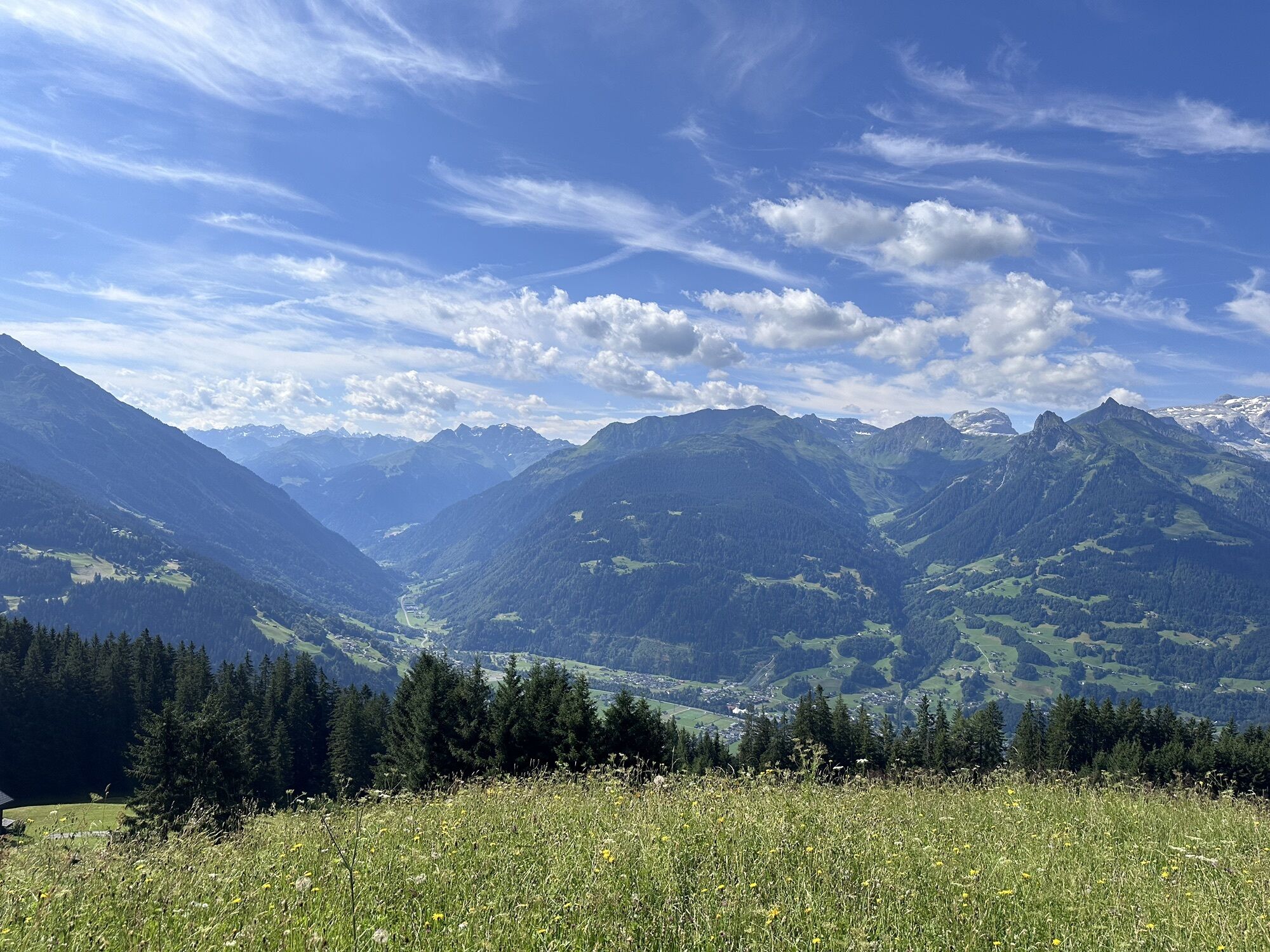
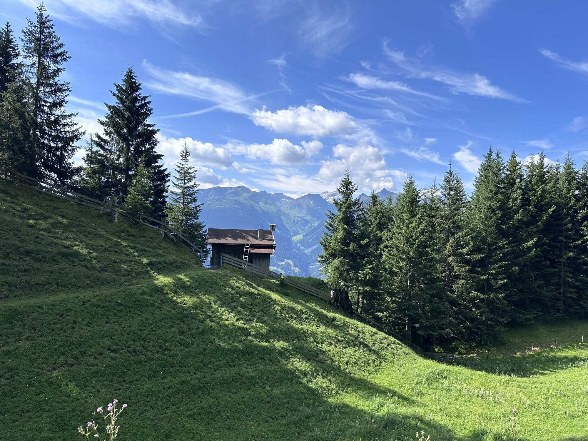
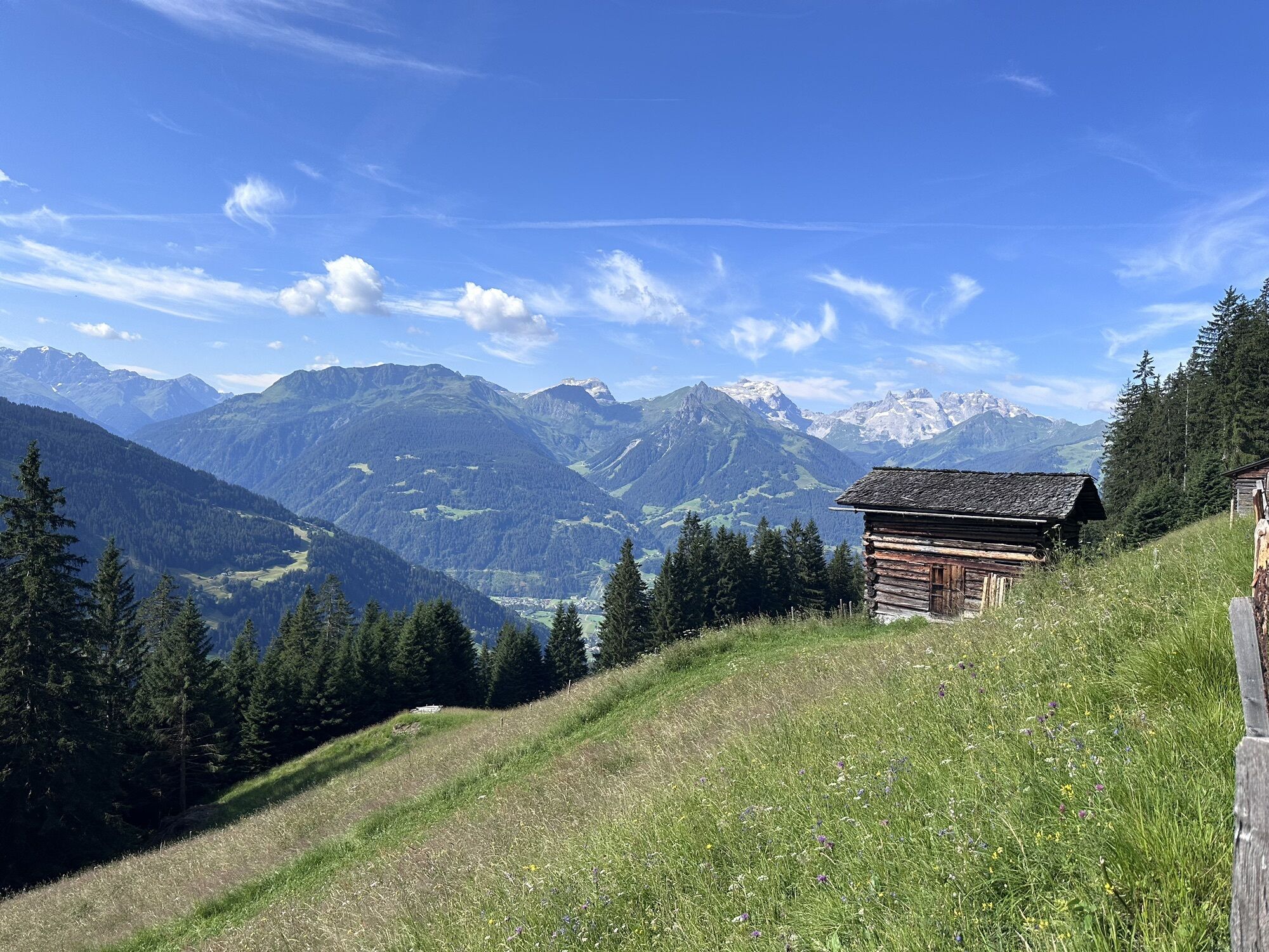
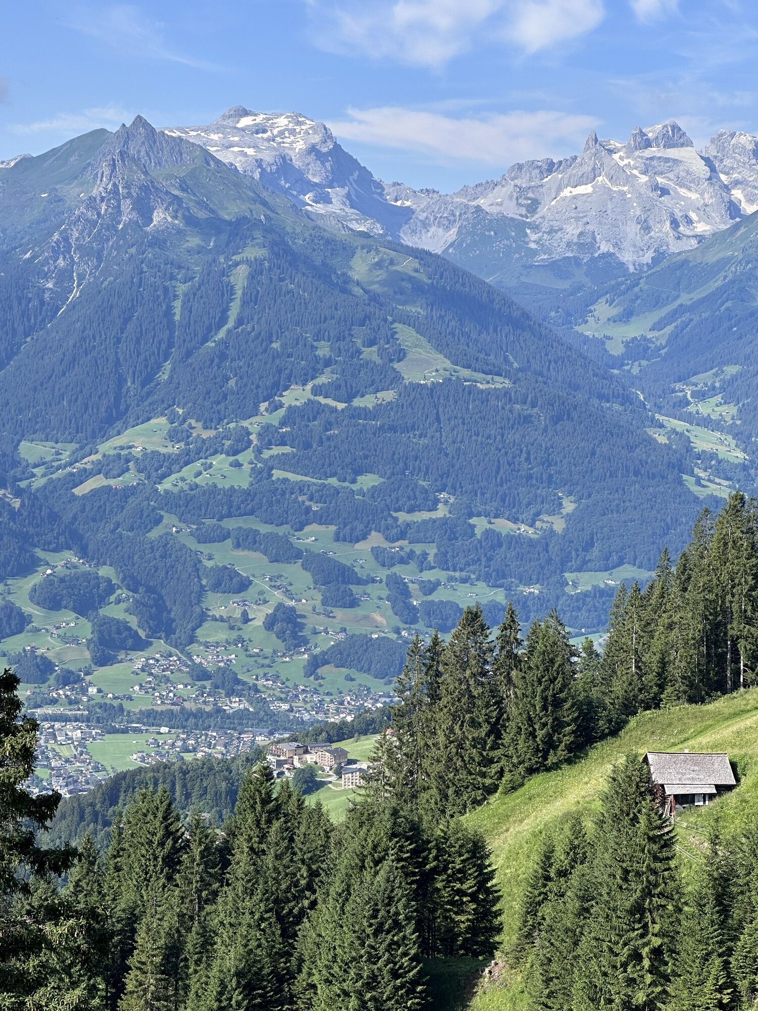
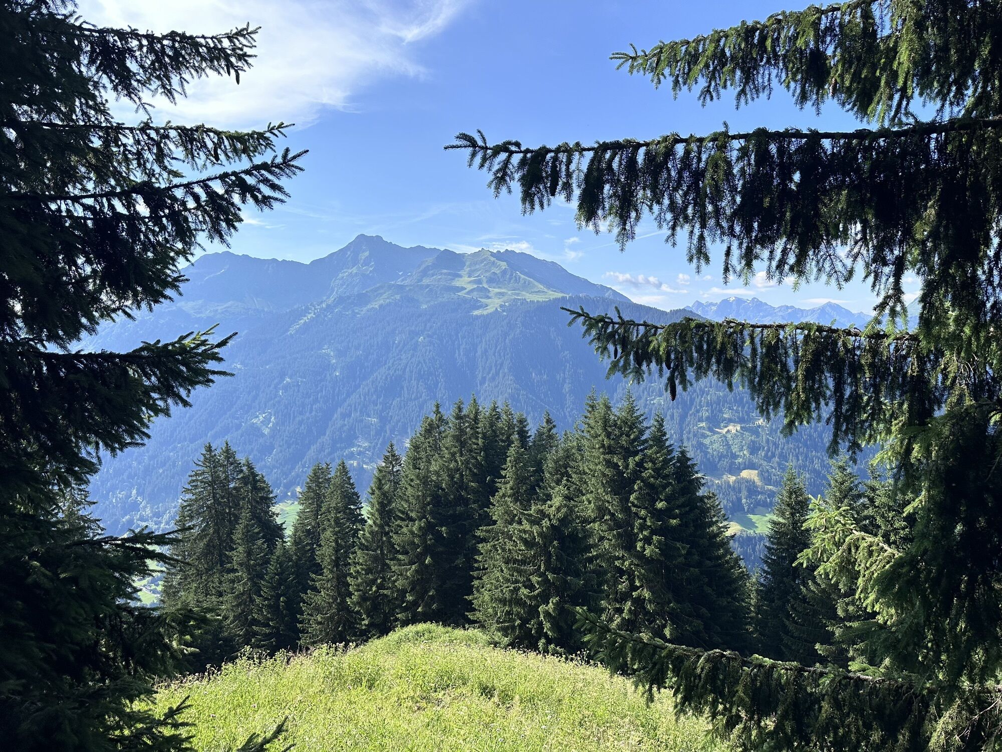
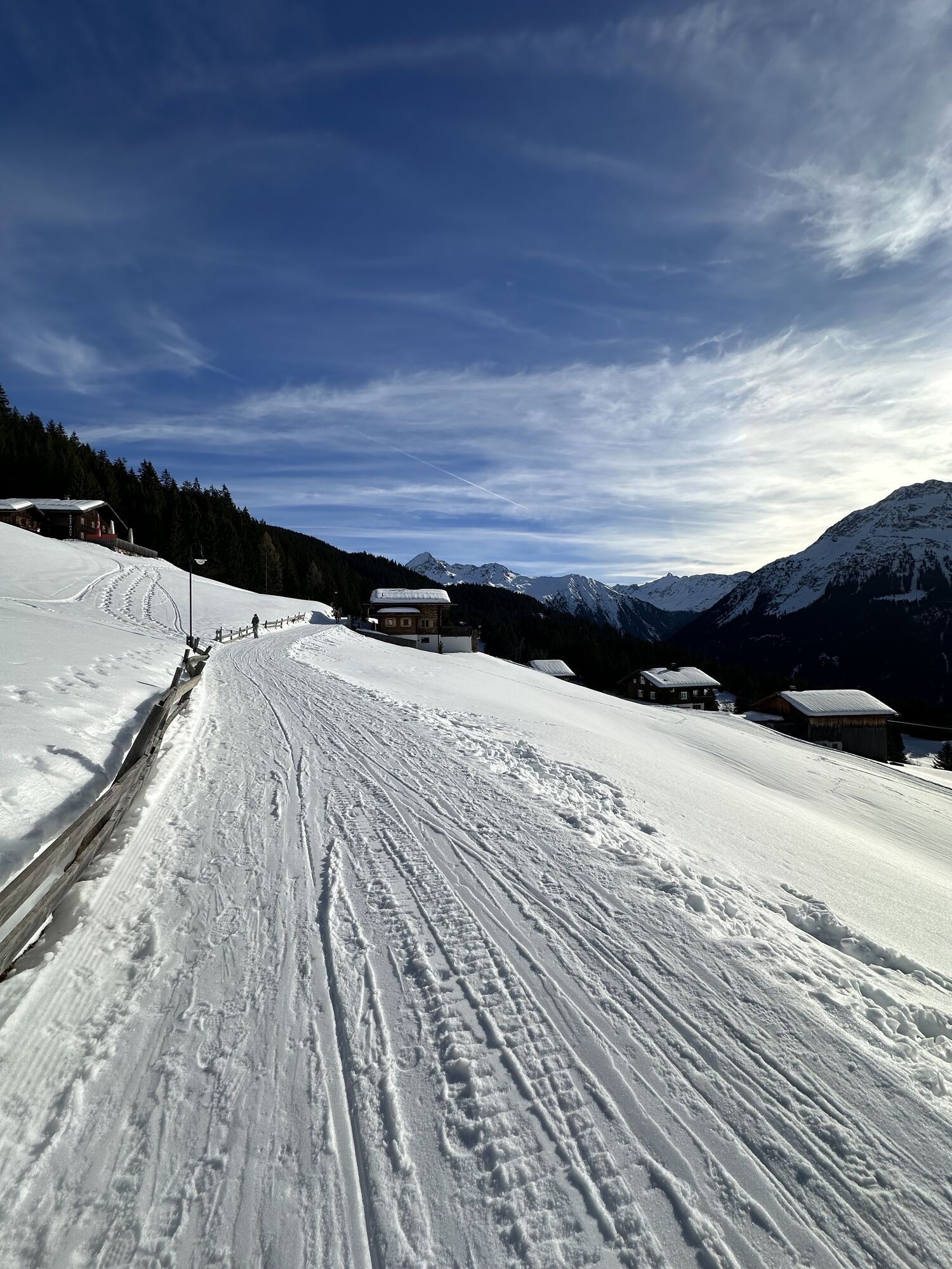
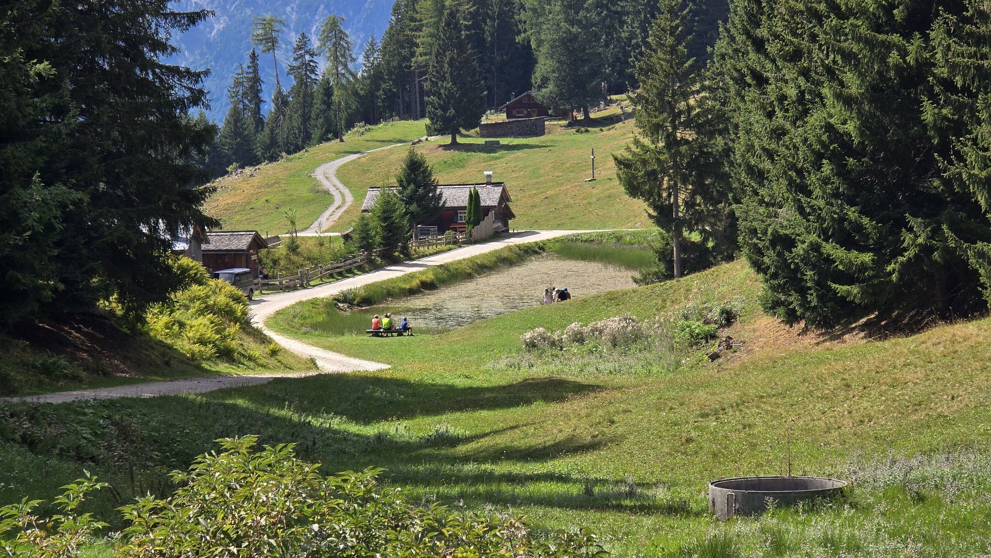
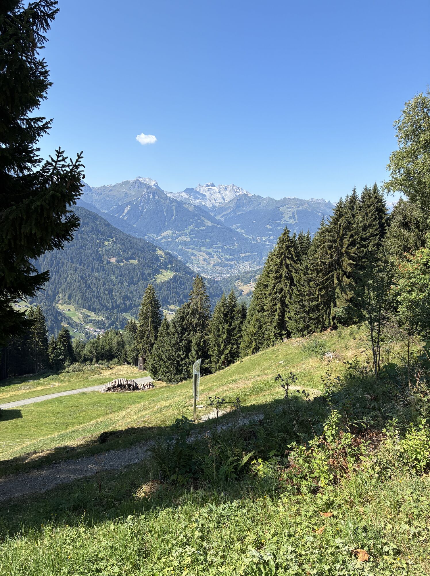
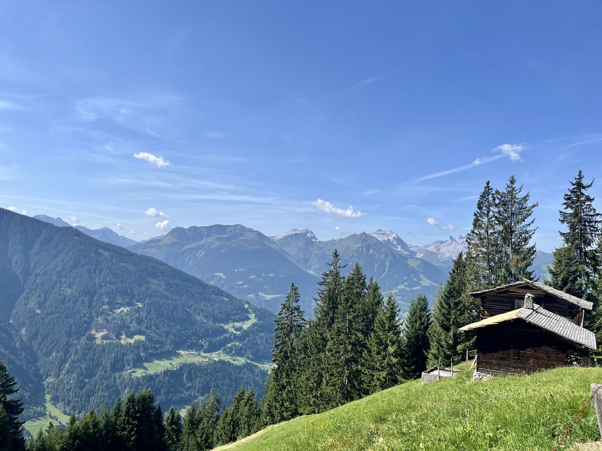
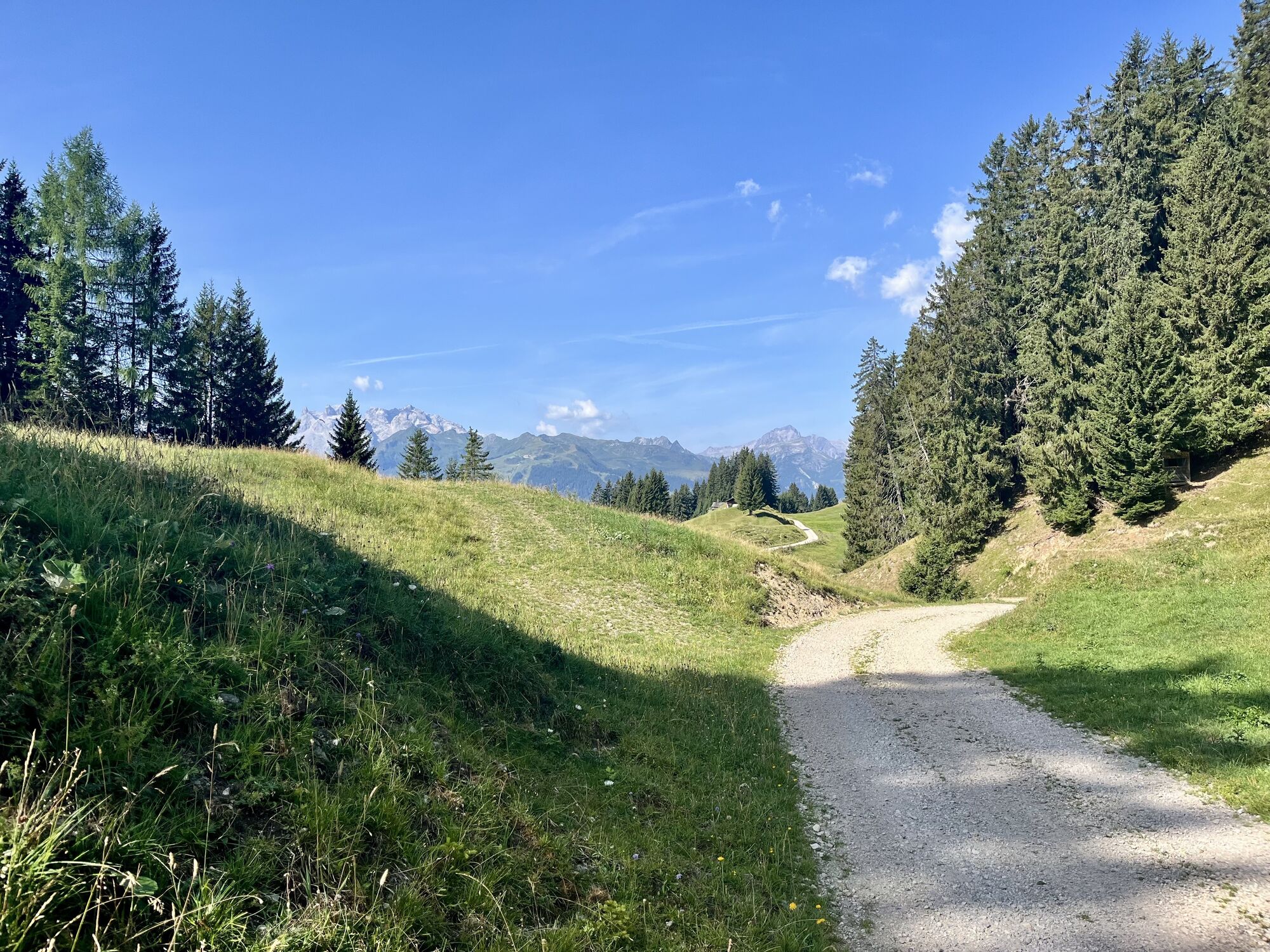
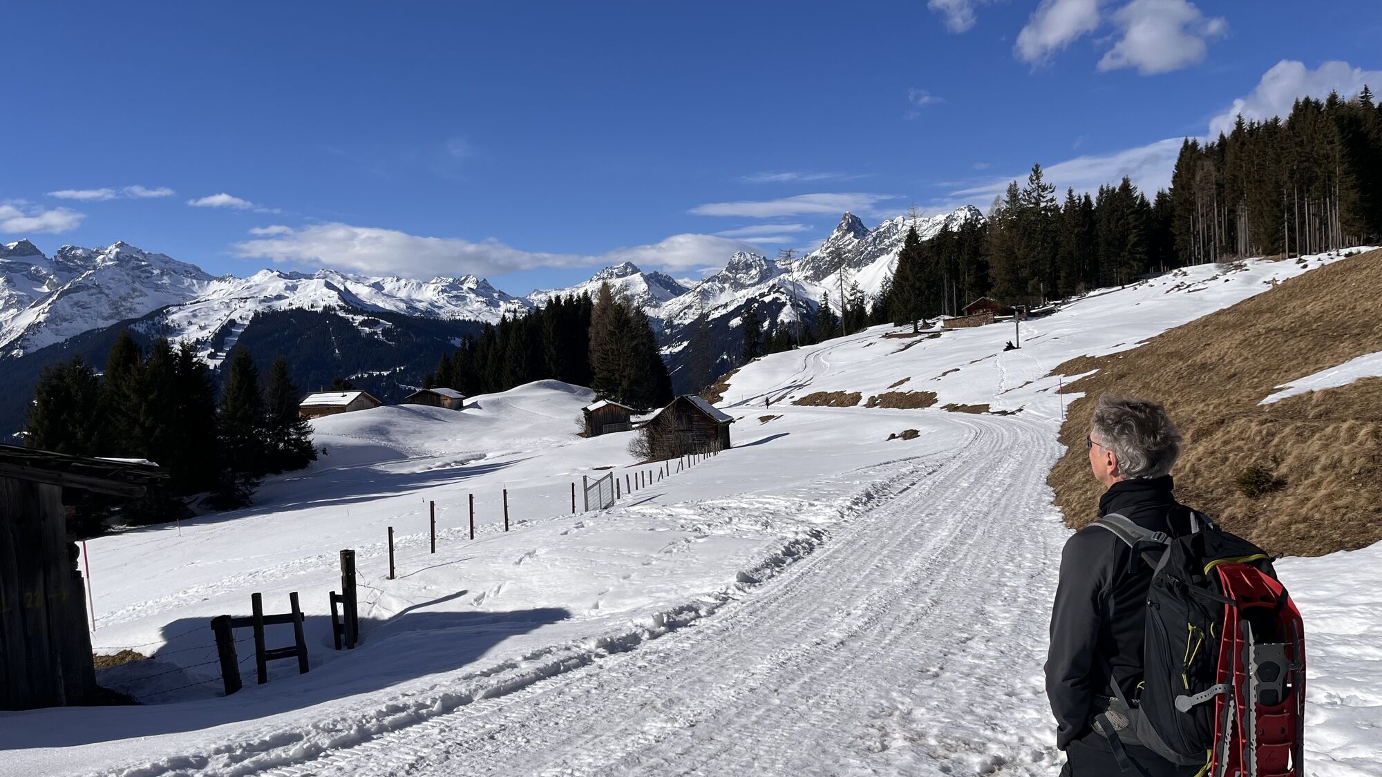
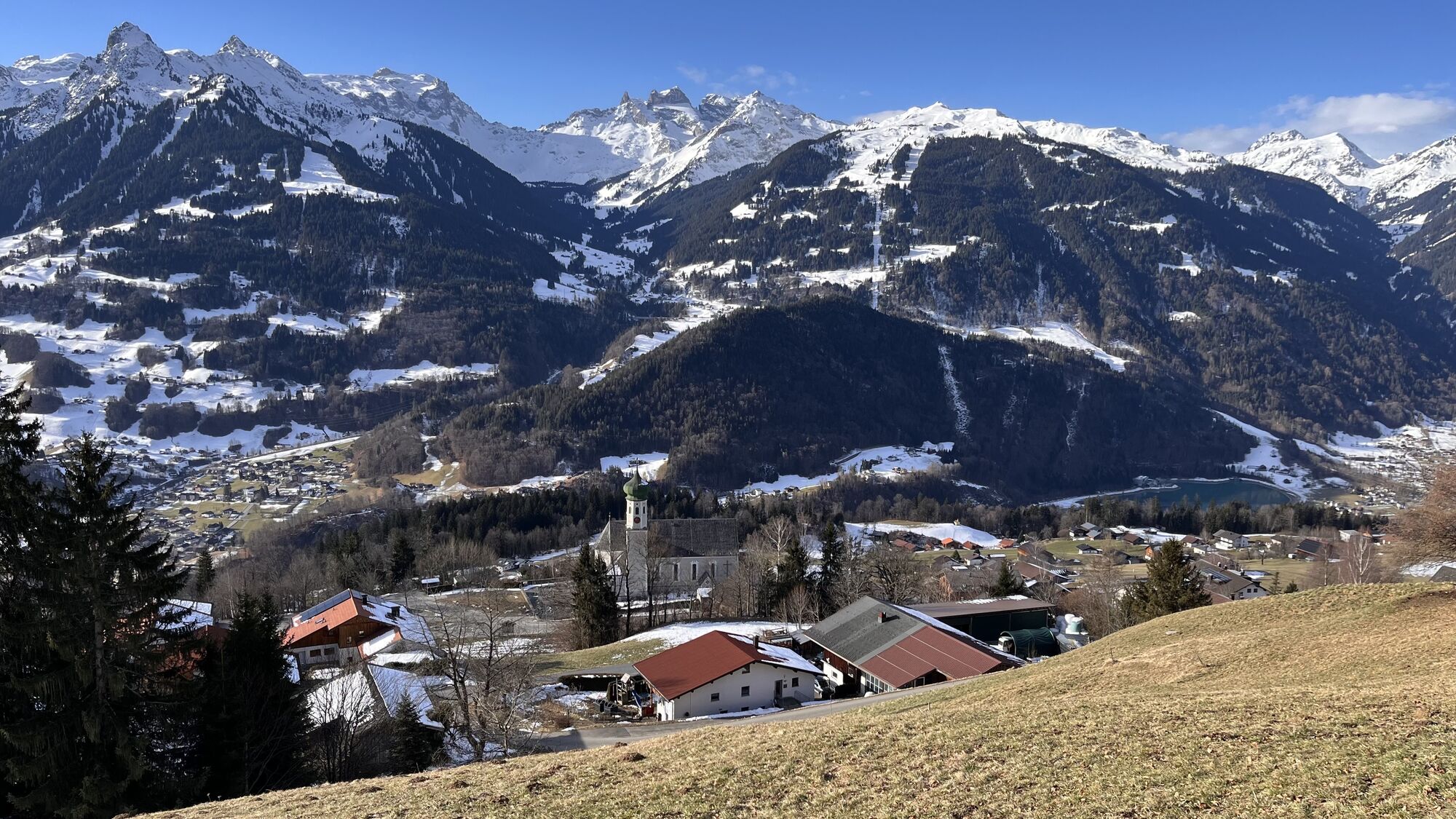
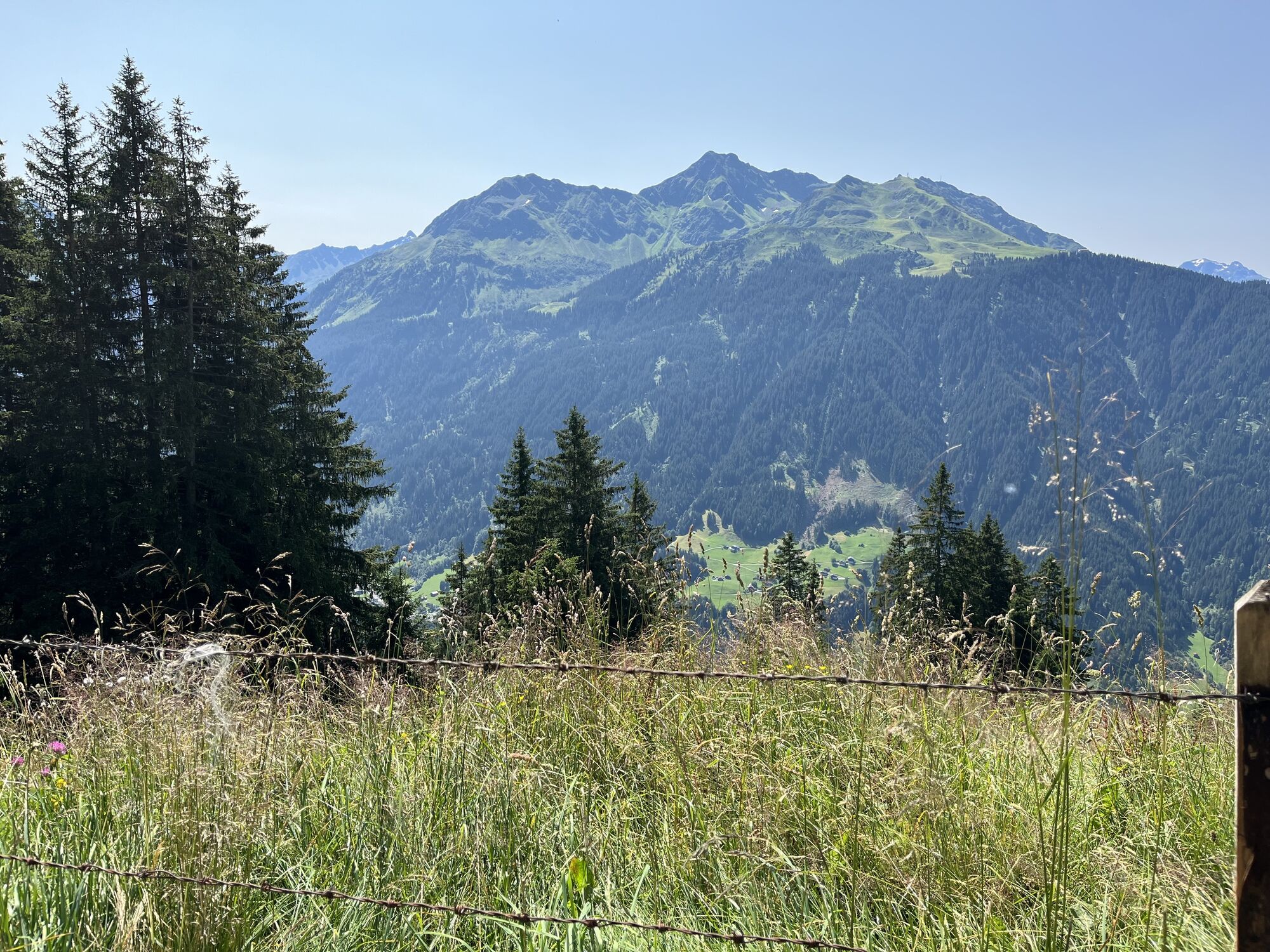
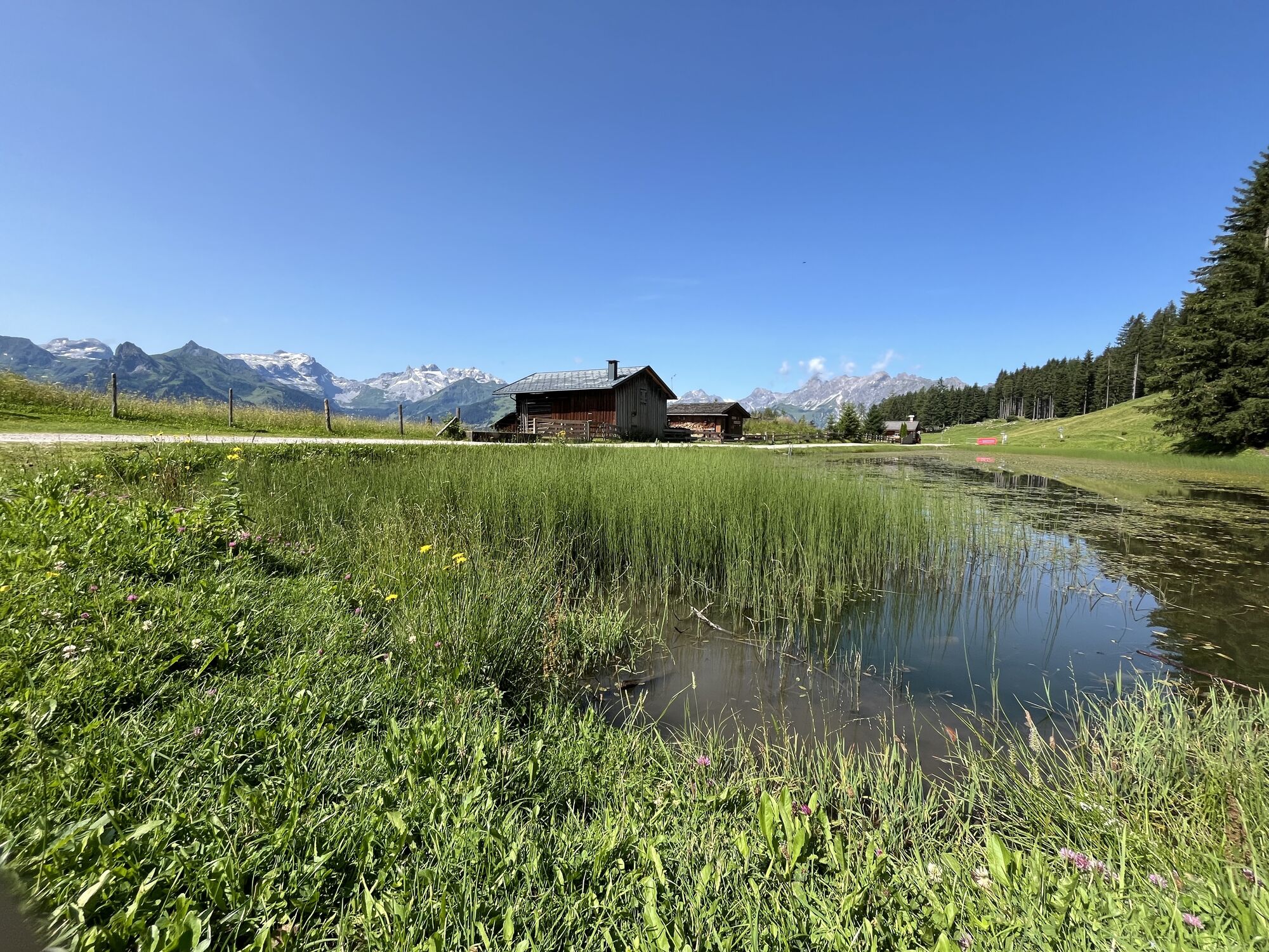
On the way from Kristberg to Schruns, you walk on historic paths. It is assumed that it is an old route used by miners on their way to the mining zone. In fact, for the late Middle Ages, historical records...
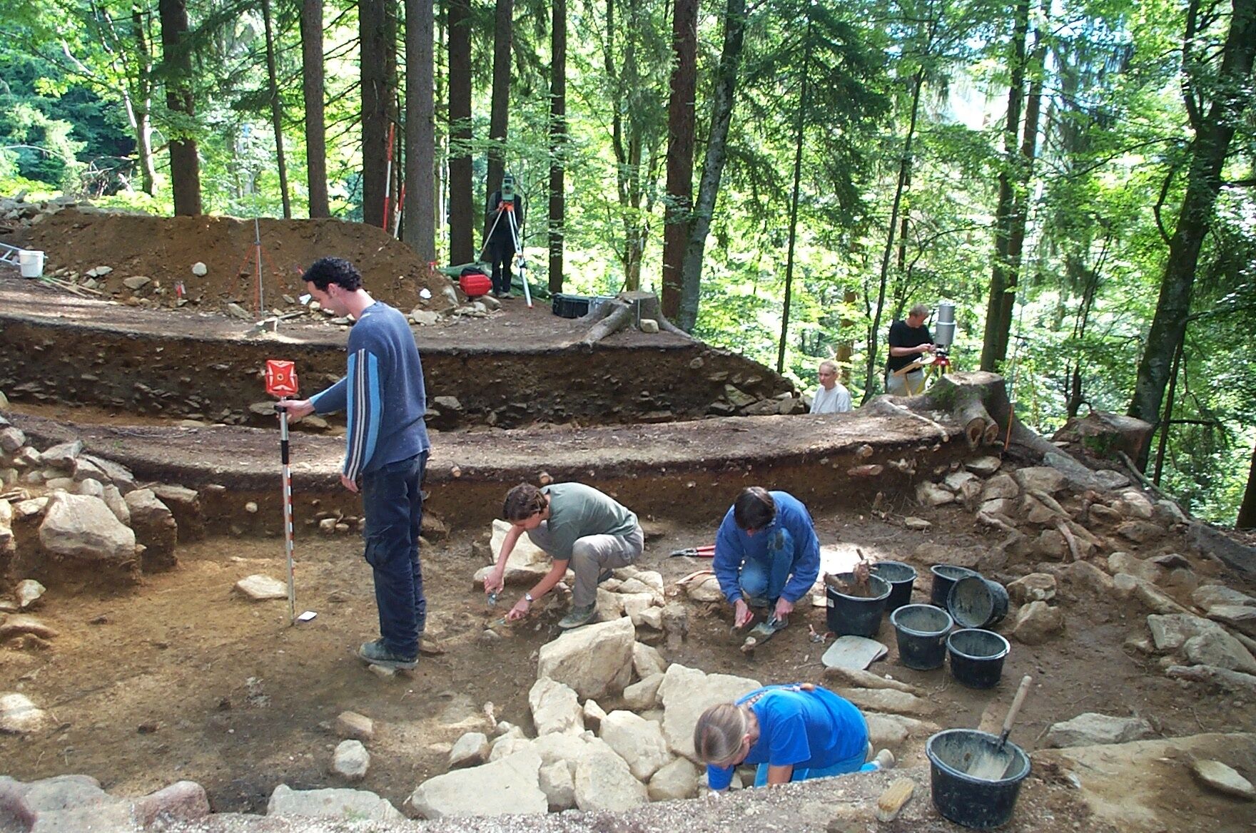
On the way from Kristberg to Schruns, you walk on historic paths. It is assumed that it is an old route used by miners on their way to the mining zone. In fact, for the late Middle Ages, historical records show that miners lived down in the settlement area and ascended to the mining zone daily. The results of archaeological excavations support this assumption.
The hiking trail today called the "Miners' Path" probably gained a new meaning. It really seems to be the path used by miners in the Middle Ages, leading about 650 meters uphill from the Litz chapel to the mining zone of the Knappagruaba.
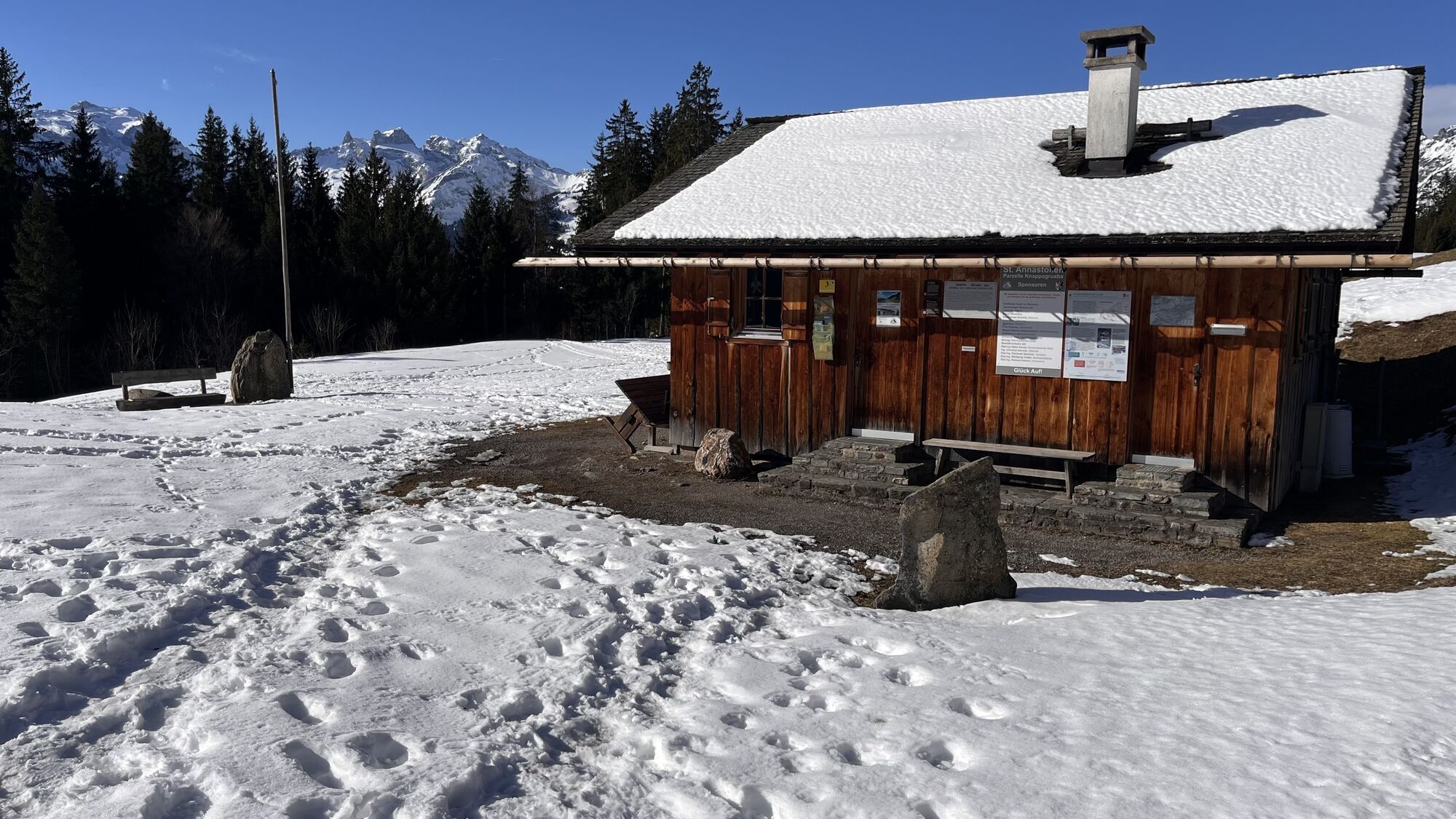
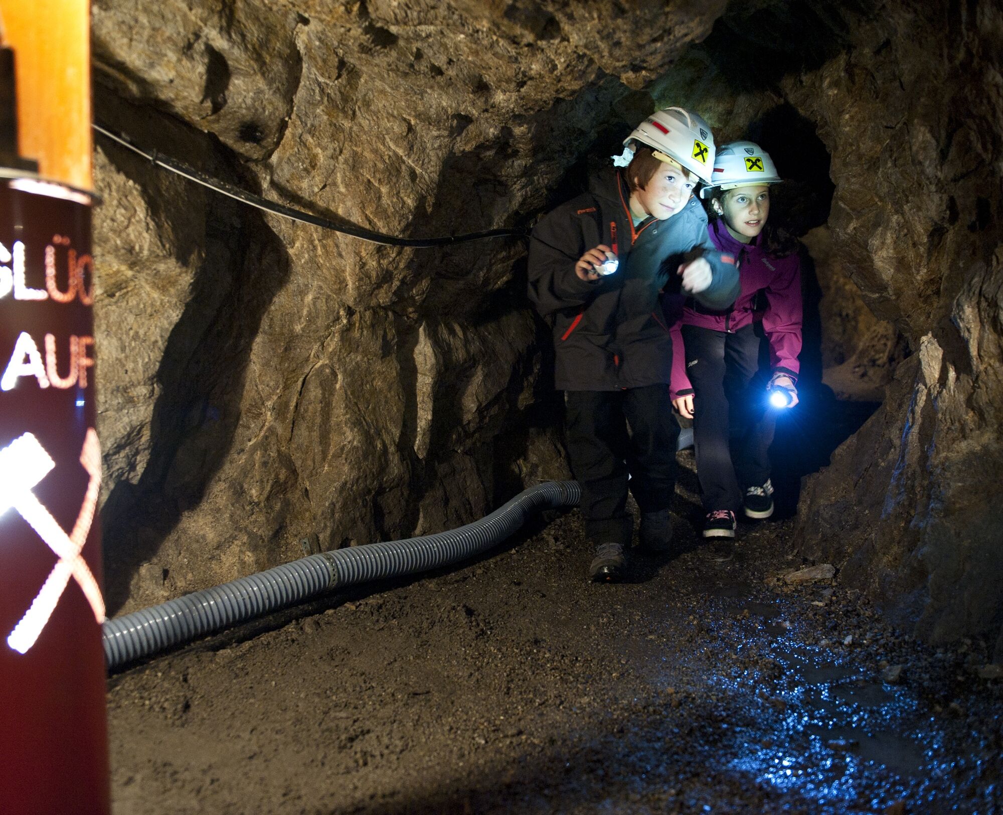
Along the Miners' Path, from the Litz chapel over the Bronze Age castle in the Friaga forest and the high trail in the Allmein at Fritzensee above the Knappagruaba, numerous information boards on early settlement history and mining have been set up to inform hikers about interesting and important stations in the history of Bartholomäberg. In the Early Mass House Bartholomäberg museum, impressions and insights are deepened in the museum presentation as well as in a special exhibition on the settlement and mining history of Montafon.


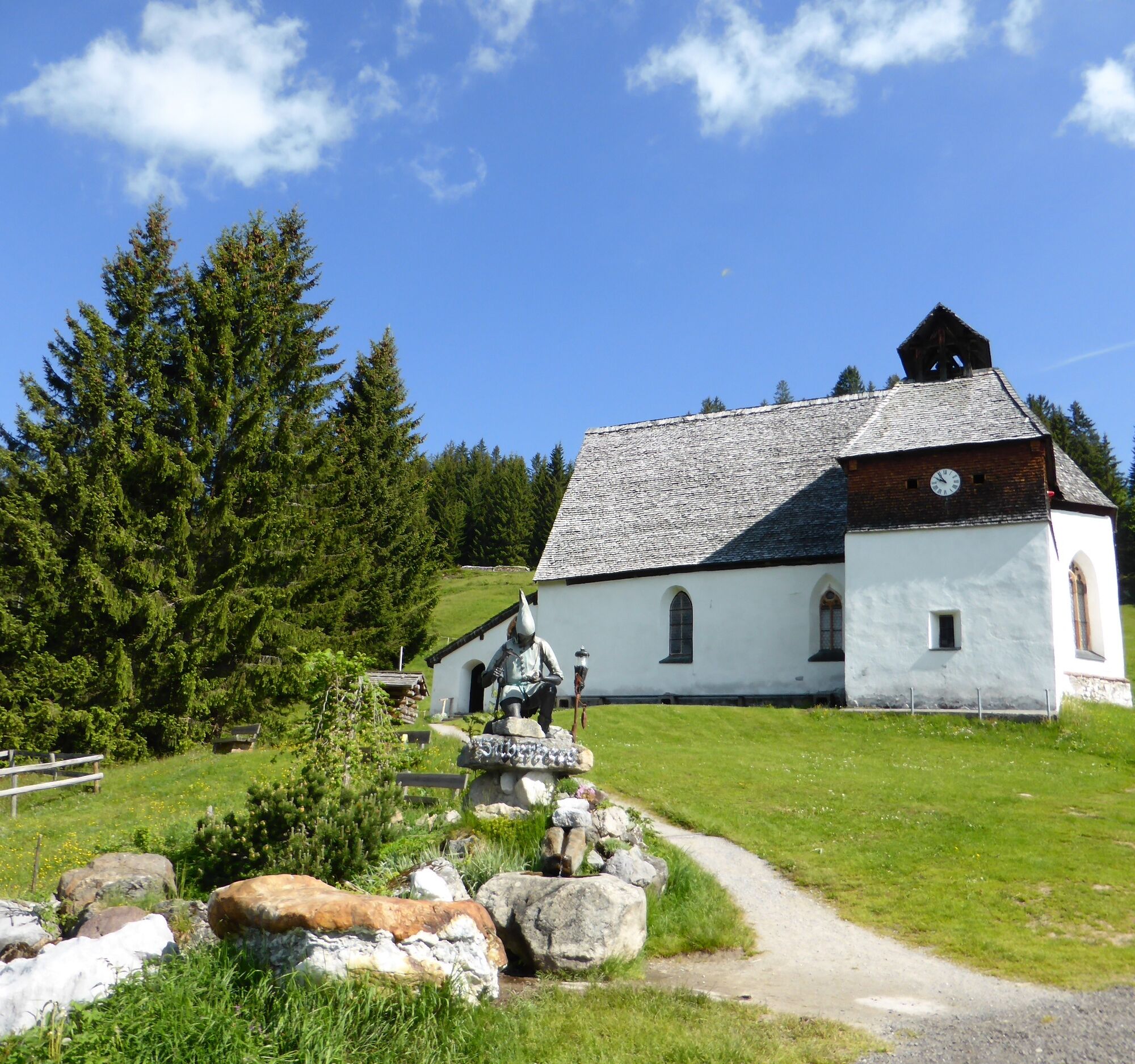
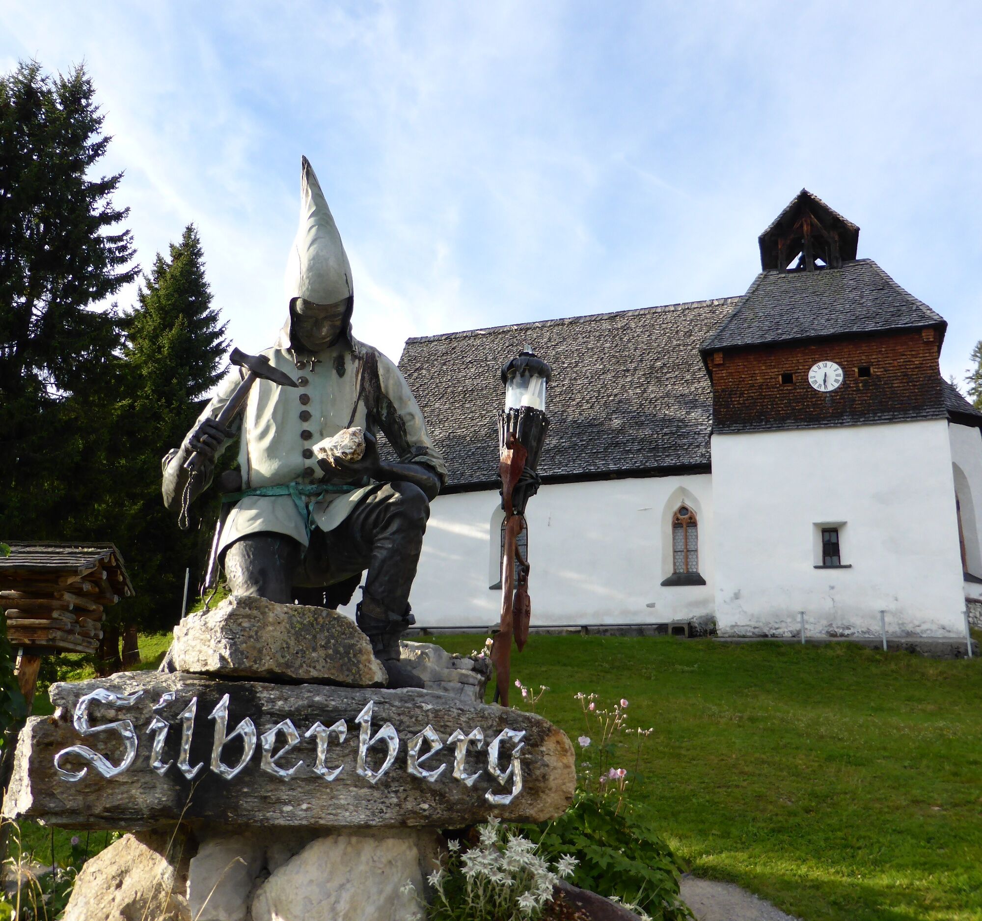
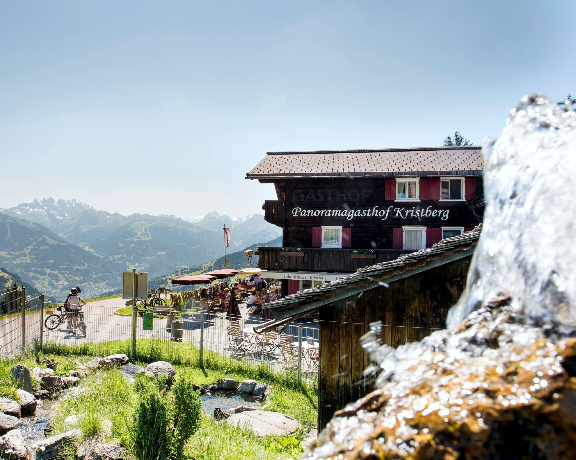


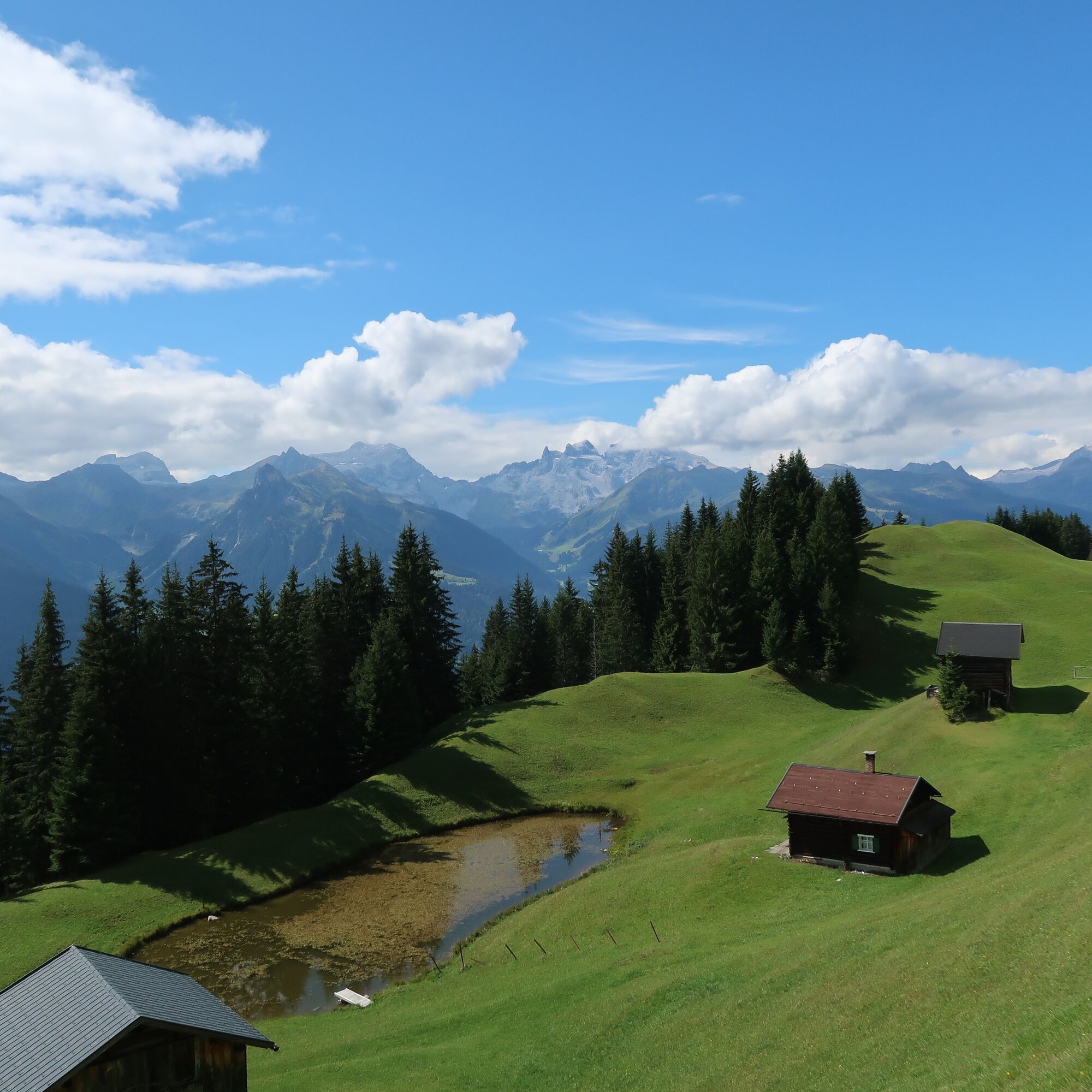

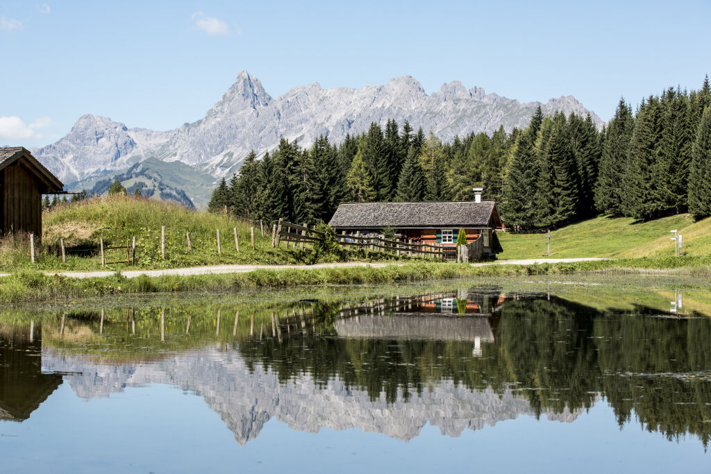





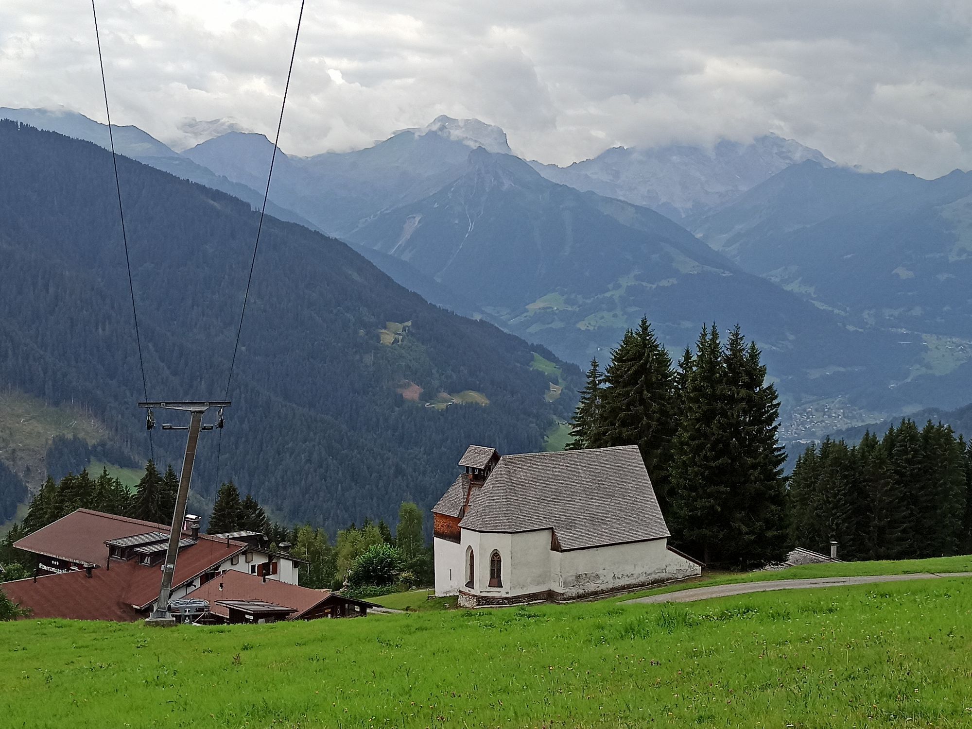
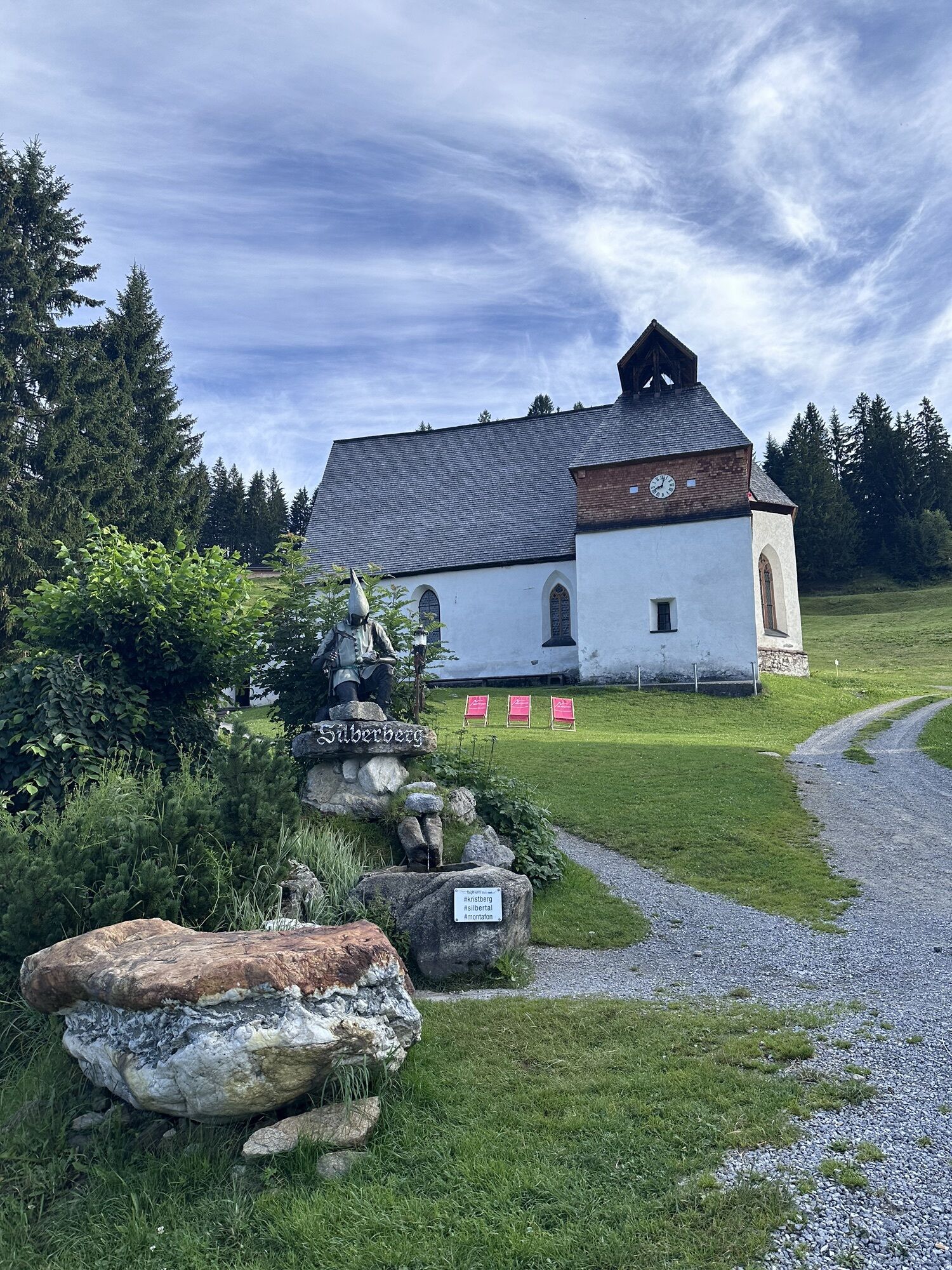
After you have taken the train to Kristberg (1440 m), the path starts at the mountain station of the Kristbergbahn. From there, the path takes you past the Knappastoba and the Kristberg mountain inn. Next to the Kristberg mountain inn is the miners' chapel. From underneath this, the path goes up into the forest towards the Ganzaleita viewpoint.
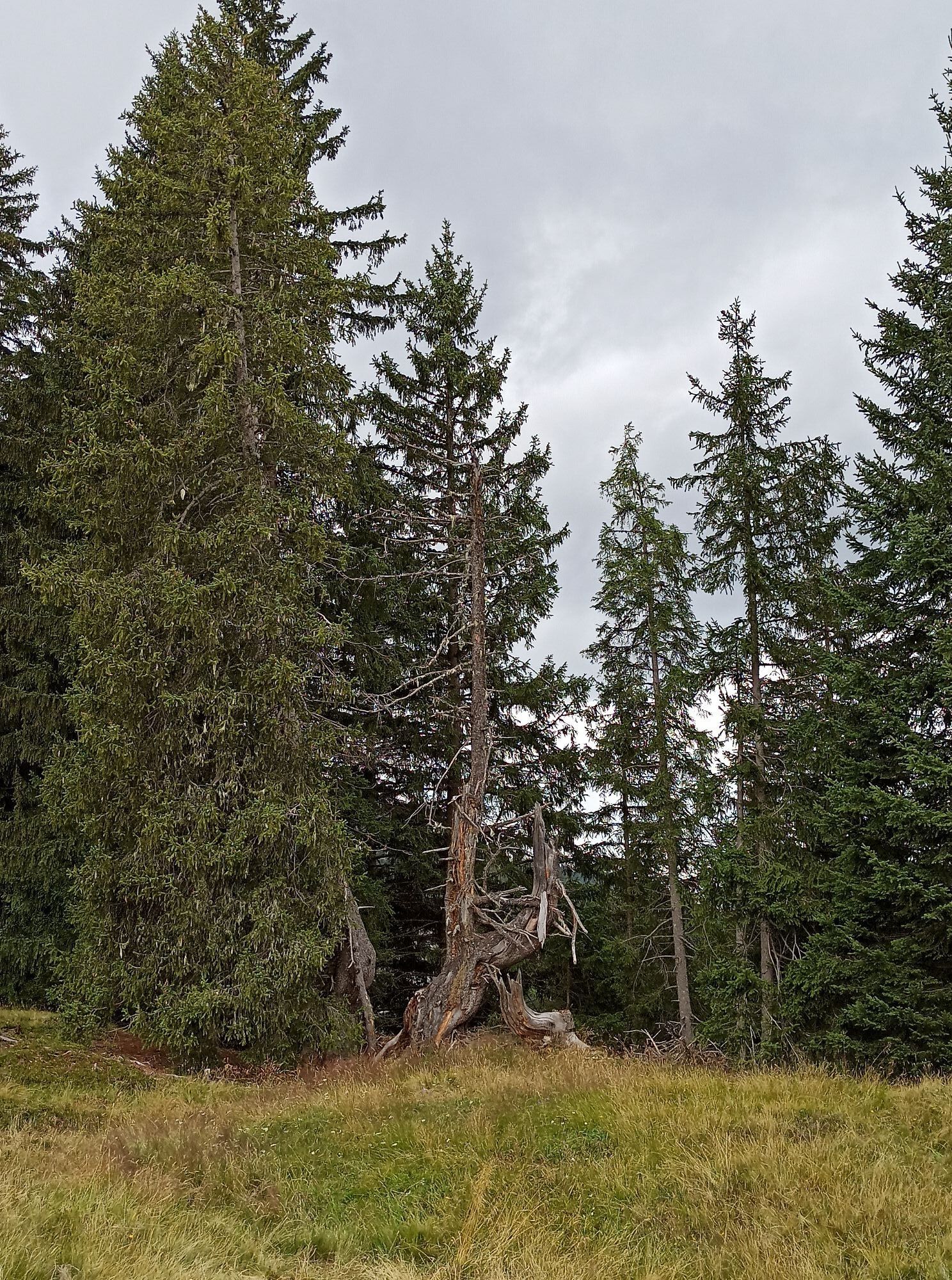
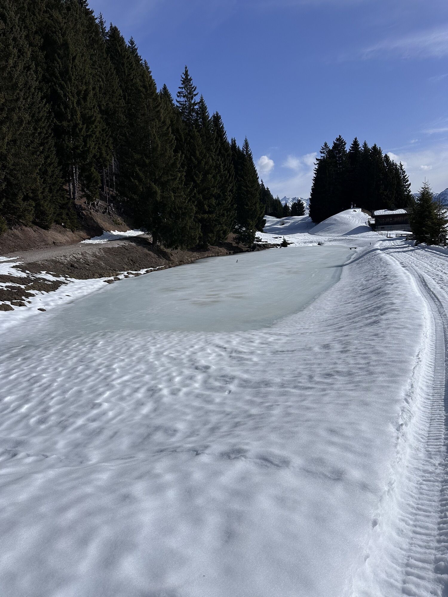
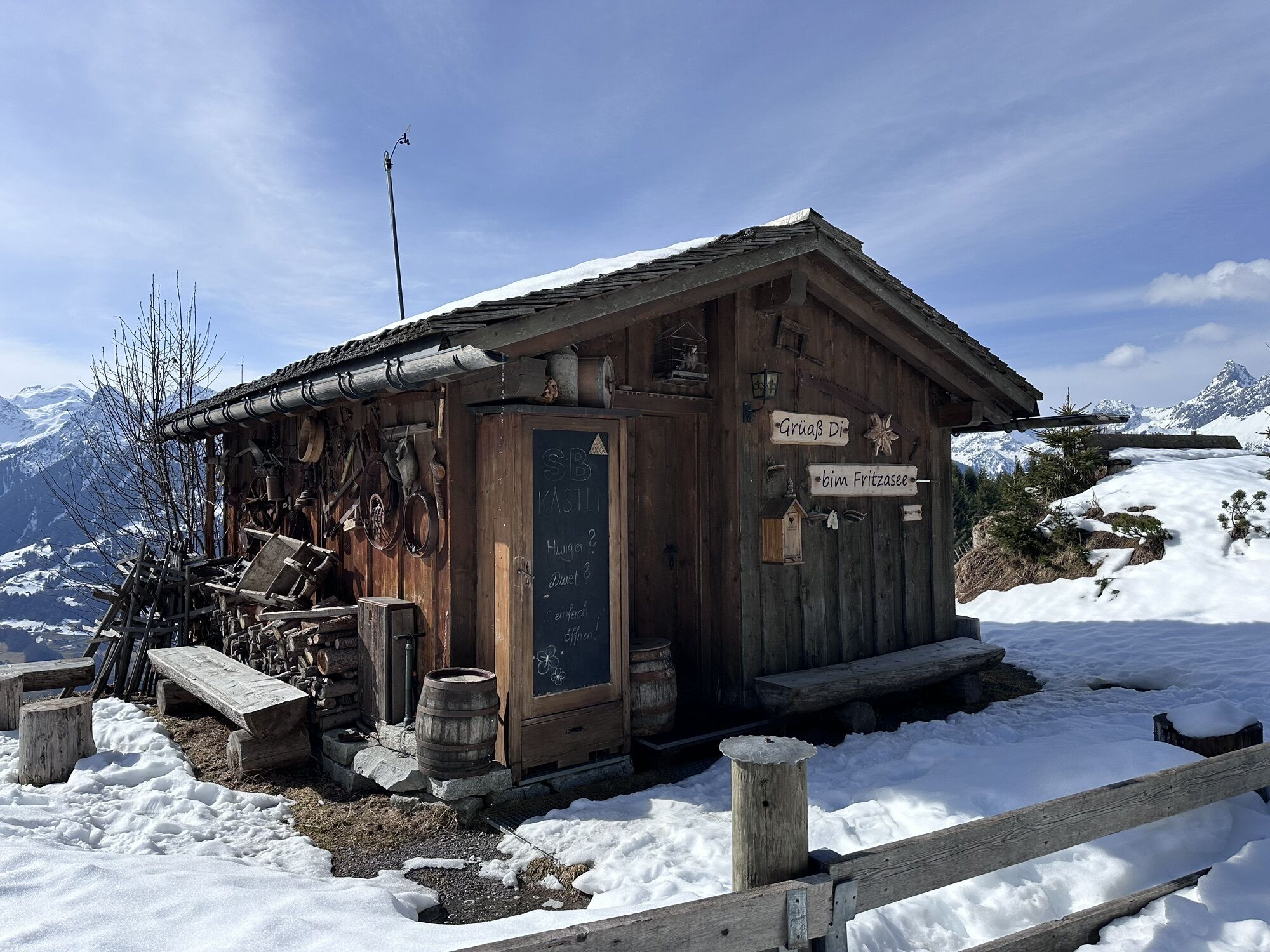
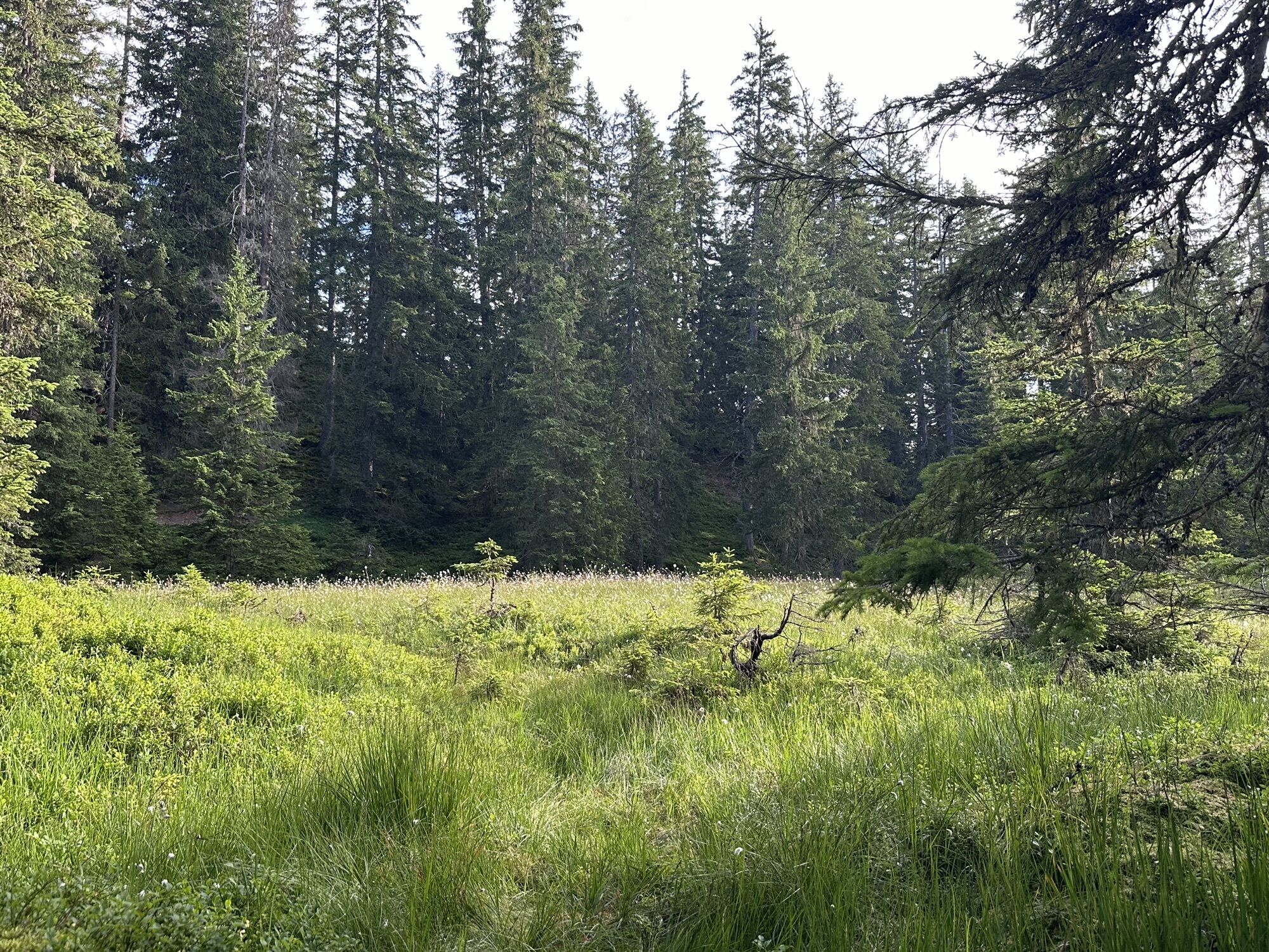
The Ganzaleita viewpoint is not directly on the path but can be reached in 10 minutes from the path. The path then takes you through a very quiet and mystical forest until after some time you again reach the gravel road. Follow this gravel road until you arrive at Fritzensee.
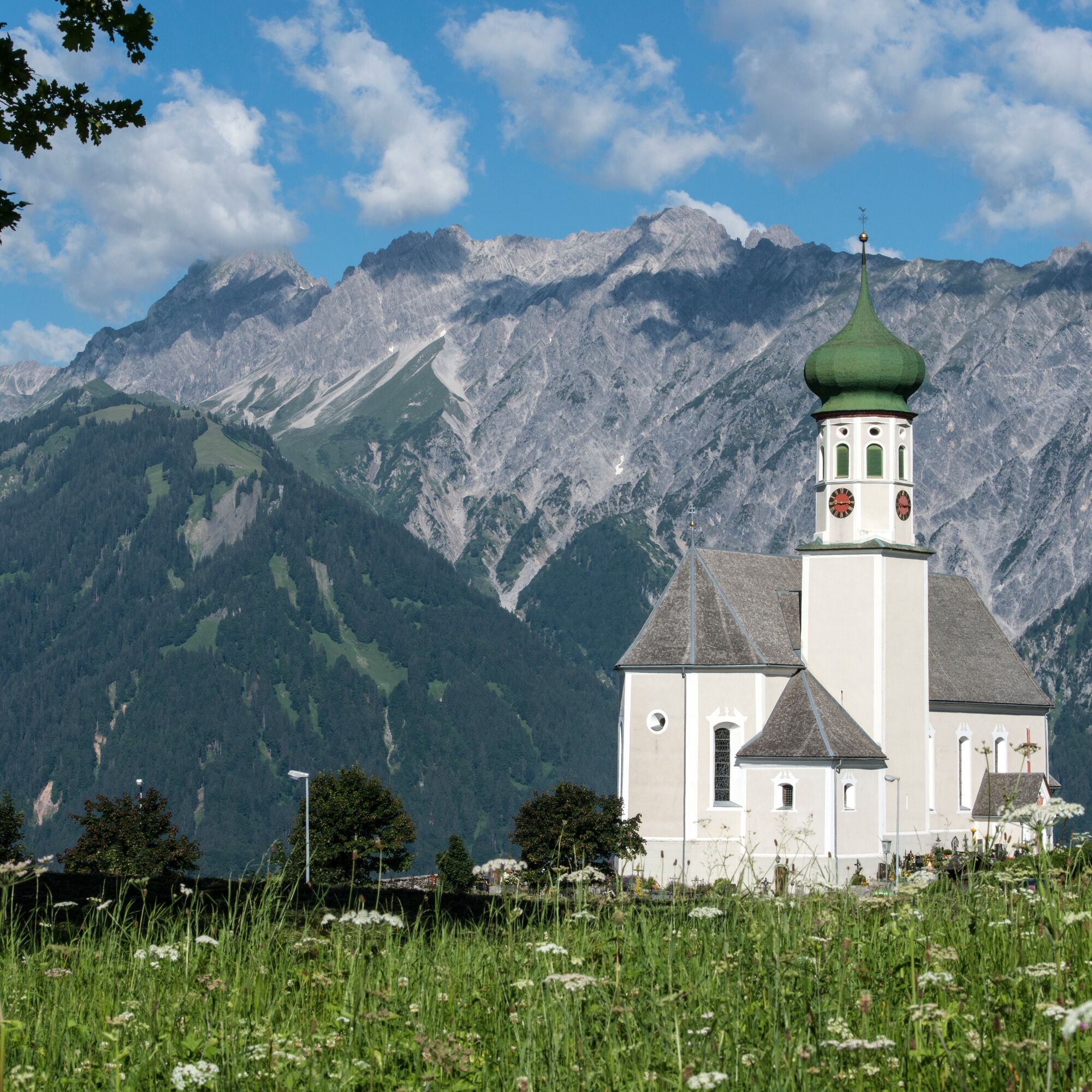
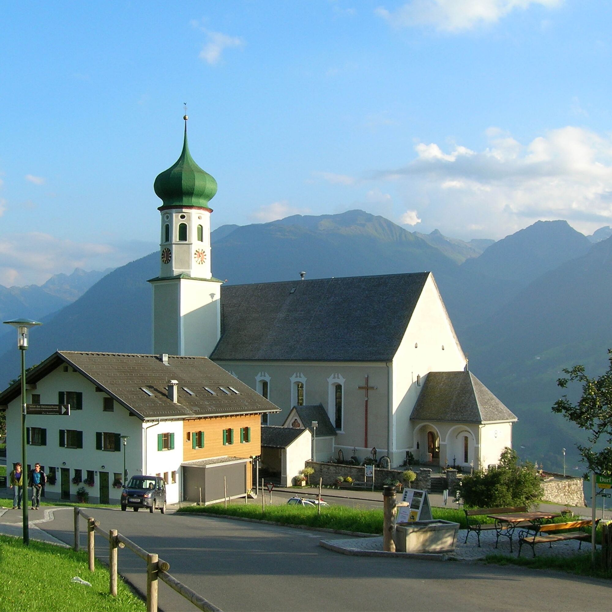
After a short break at Fritzensee, the path leads down towards the village center of Bartholomäberg. Along the way, the path takes you past the historic mine and the individual stations of the Miners' Path. From the Baroque church of Saint Bartholomew, the path continues downhill towards Schruns, passing further stations of the Miners' Path via Montjola to Schruns and the Litz chapel.
Ano
Ano
Hiking shoes with good soles (ankle-high shoe) and hiking poles. On hot days, a head covering and sun protection are recommended.
EMERGENCY CALL: 144
European emergency number 112 (works with any mobile phone/network)
Drive on the A14 to the Bludenz/Montafon exit and continue on Montafonerstraße L188 to Schruns. You can reach the Silbertal via Schruns.
Just leave your car standing
The regional buses run throughout Montafon. The main lines run every half hour from Schruns train station.
Bus stop at the start of the route: Silbertal Kristbergbahn / Line 680
Bus stop at the end of the route: Schruns Train Station
Timetable: www.vmobil.at
Arrival by train
From Bludenz station, the Montafonerbahn runs hourly (partly half-hourly). There are also direct connections from Lindau (D) and from Bregenz.
Timetable: www.oebb.at
Valley station of the Kristbergbahn (paid)
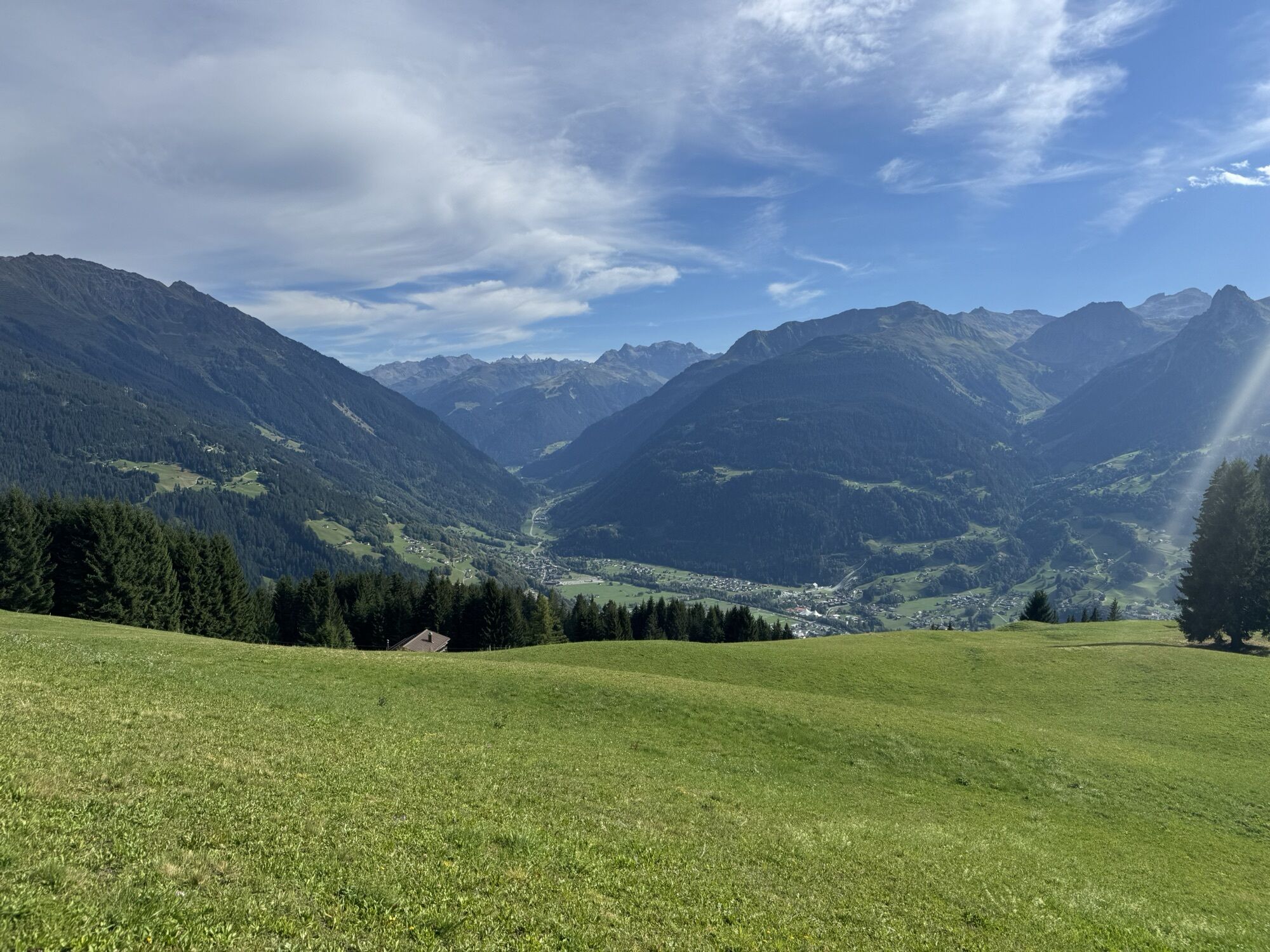
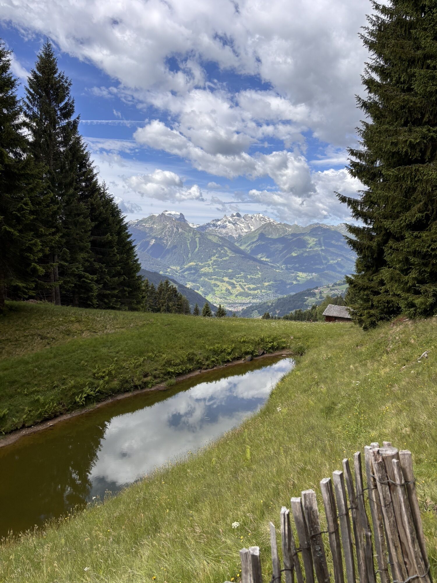
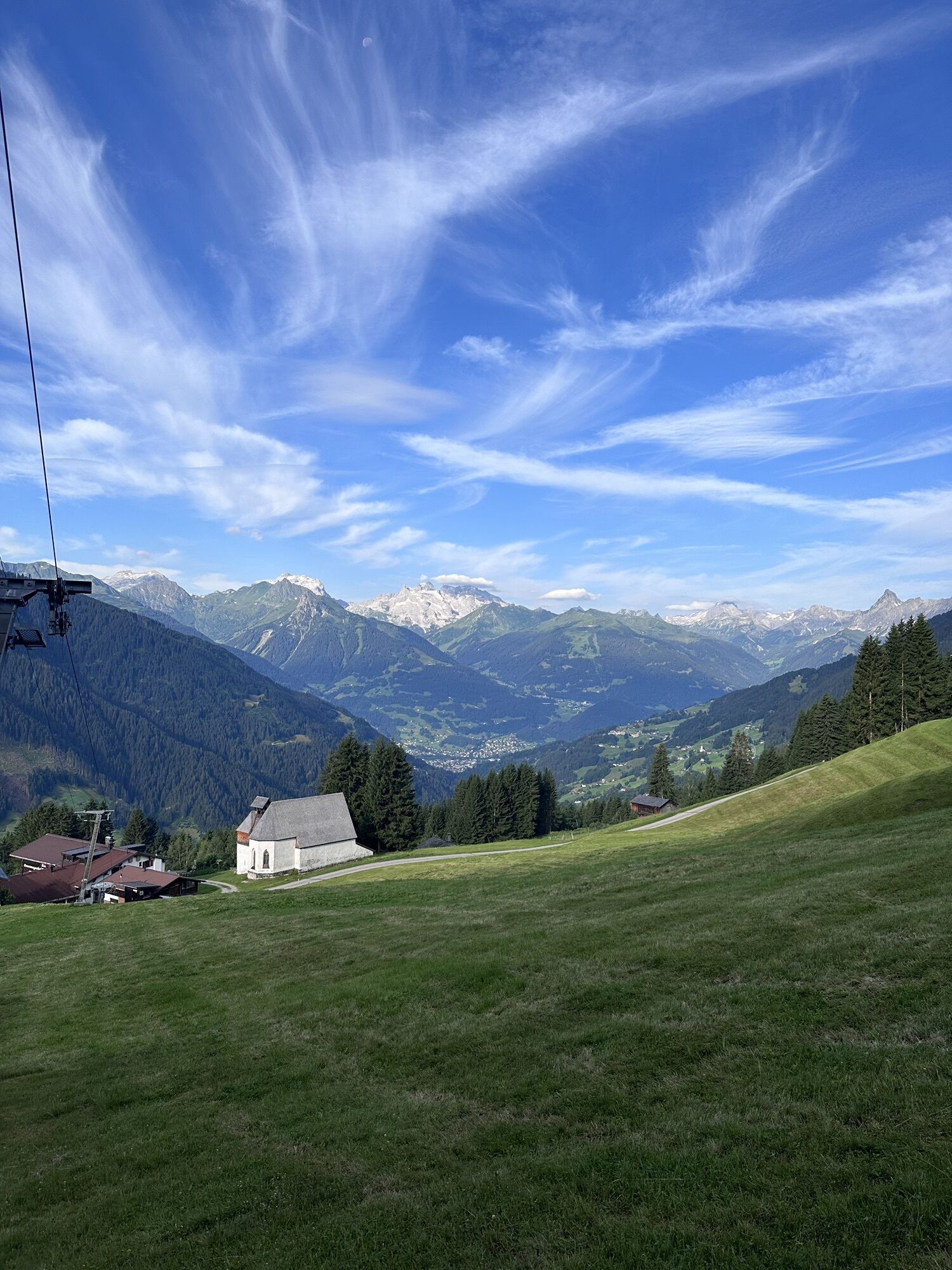
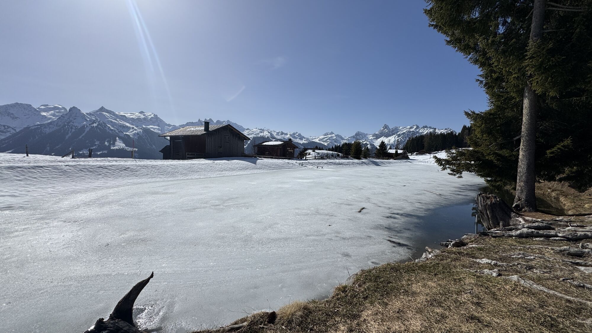
At Fritzensee you have a breathtaking view over the entire Montafon and it is the perfect place to let your soul dangle.

Webové kamery z prohlídky
-
Hochjoch Bahn Bergstation
-
Montafoner Kristbergbahn Bergstation
-
Panoramagasthof Kristberg
-
Panoramagasthof Kristberg
-
Kristberglift mit St. Agatha Kirche
-
Kinderland Skischule Silbertal
-
Matschwitz Mittelstation
-
Silbertal Dorf
-
Innerberg
-
Golm - Matschwitz
-
Silvretta-Montafon - Panorama Bahn
-
Bartholomäberg
-
Bartholomäberg
-
Tschagguns
-
Schruns
-
Bartholomäberg - Ferienhotel Fernblick
-
Wormserhütte
-
Wormserhütte
-
Kapellbahn
-
Schlepplift Innerbach
-
Bartholomäberg
-
Bartholomäberg - Ferienhotel Fernblick
-
Bartholomäberg - Ferienhotel Fernblick
-
Bartholomäberg - Ferienhotel Fernblick

Oblíbené prohlídky v okolí
-
4.7
Douglashütte - Schesaplana
středníTuristika 7.31 km -
5.0
Ski tour to the Lindauer Hut (1,744 m)
světloLyžařská trasa 14.0 km -
4.7
Kristberg - Wasserstubental - Silbertal
světloTuristika 13.8 km -
4.5
Golmer Lakes Trail
středníTematická stezka 7.28 km -
4.6
Over the historic mine and Fritzensee to Rellseck
středníTuristika 7.25 km -
4.9
Douglasshütte, Lünersee, Gafalljoch Brand bei Bludenz, Vorarlberg
světloTuristika 9.16 km -
4.9
Bürs, Bürserschlucht Bürs, Vorarlberg
středníTuristika 5.31 km -
4.3
Golmerbahn Bergstaion Grüneck - Golmer Höhenweg - Geißspitze - Lindauer Hütte - Latschau
středníTuristika 11.5 km -
4.9
Alpgues Runde
středníTuristika 9.21 km -
4.6
Muttersberg - Fraßenhütte - Fraßen - Tiefenseesattel Nüziders, Österreich
středníTuristika 10.1 km

Pěší turistika a stopování


Nenechte si ujít nabídky a inspiraci pro vaši příští dovolenou
Vaše e-mailová adresa byl přidán do poštovního seznamu.





