


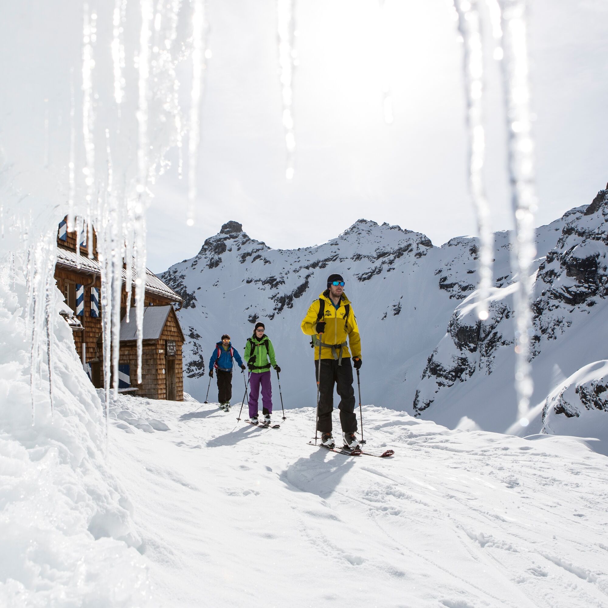
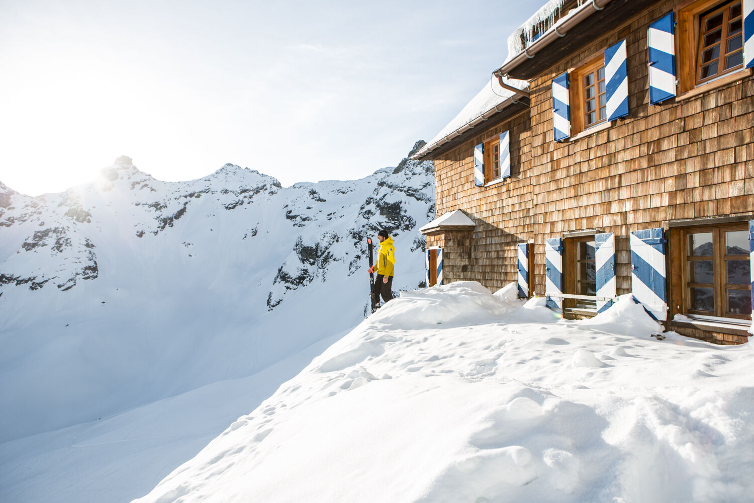
Saarbrücken Hut (2,538m)
Your destination, the Saarbrücken Hut, is at (2,538 m). This route perfectly suits the saying 'the journey is the destination'. Throughout the tour, you are surrounded by mighty and impressive peaks. Enjoy...
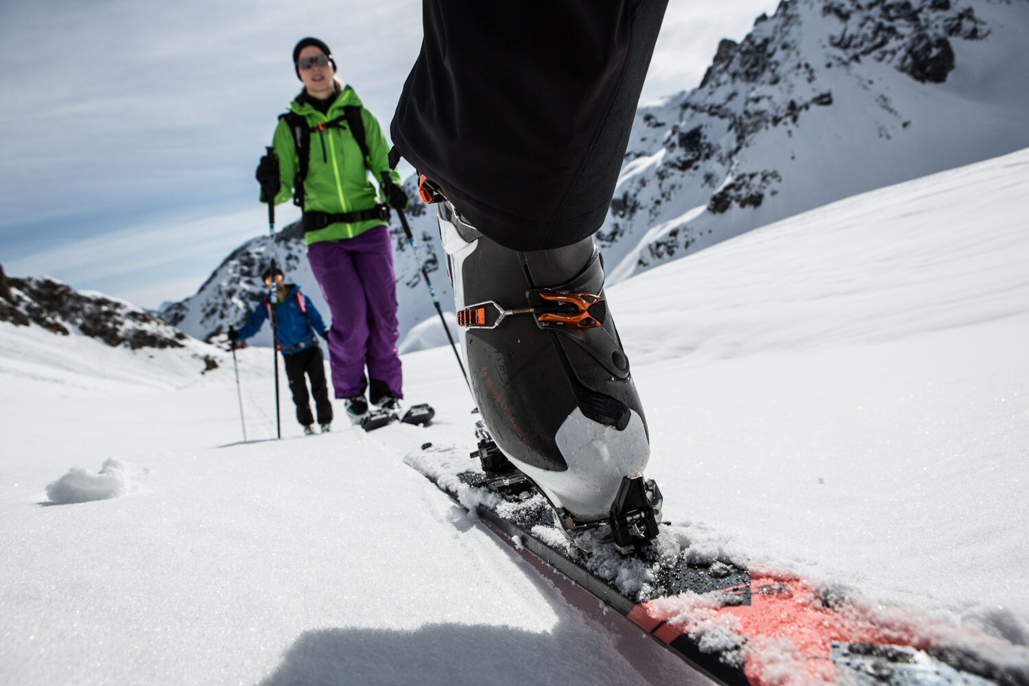
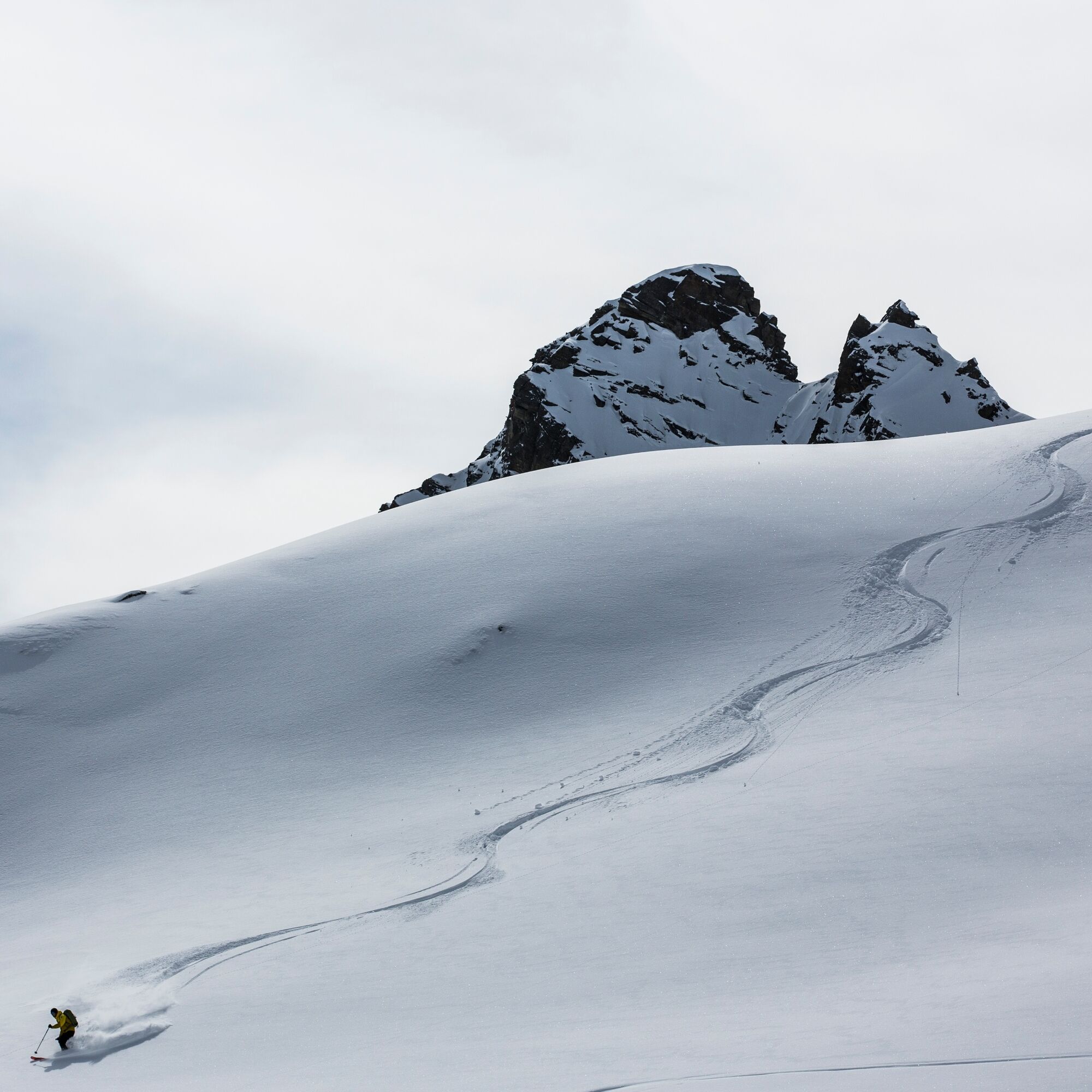
Your destination, the Saarbrücken Hut, is at (2,538 m). This route perfectly suits the saying 'the journey is the destination'. Throughout the tour, you are surrounded by mighty and impressive peaks. Enjoy the view of the snow-covered mountains. The Saarbrücken Hut lies exactly at the foot of the Kleinlitzner. From there, you get a view of the Seehorn as well as the Großlitzner. In winter, hidden under a layer of snow, the Litzner Glacier is located right at the foot of these two mountains. The return route is a pleasurable descent back to the Vermunt reservoir lake.

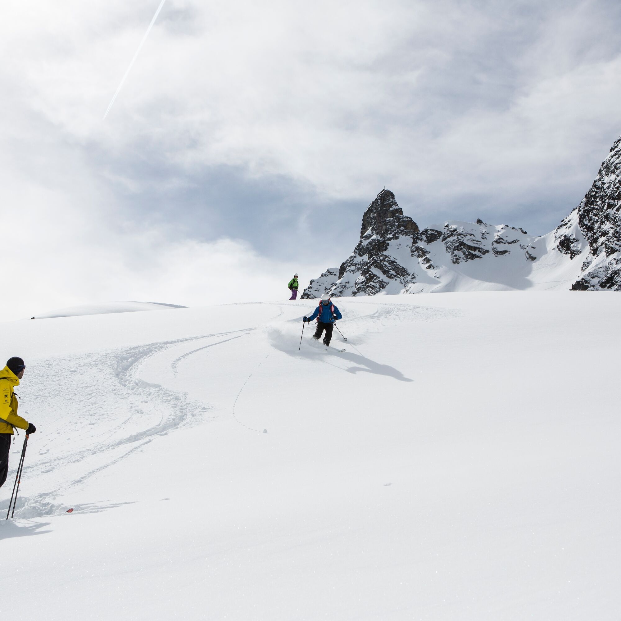
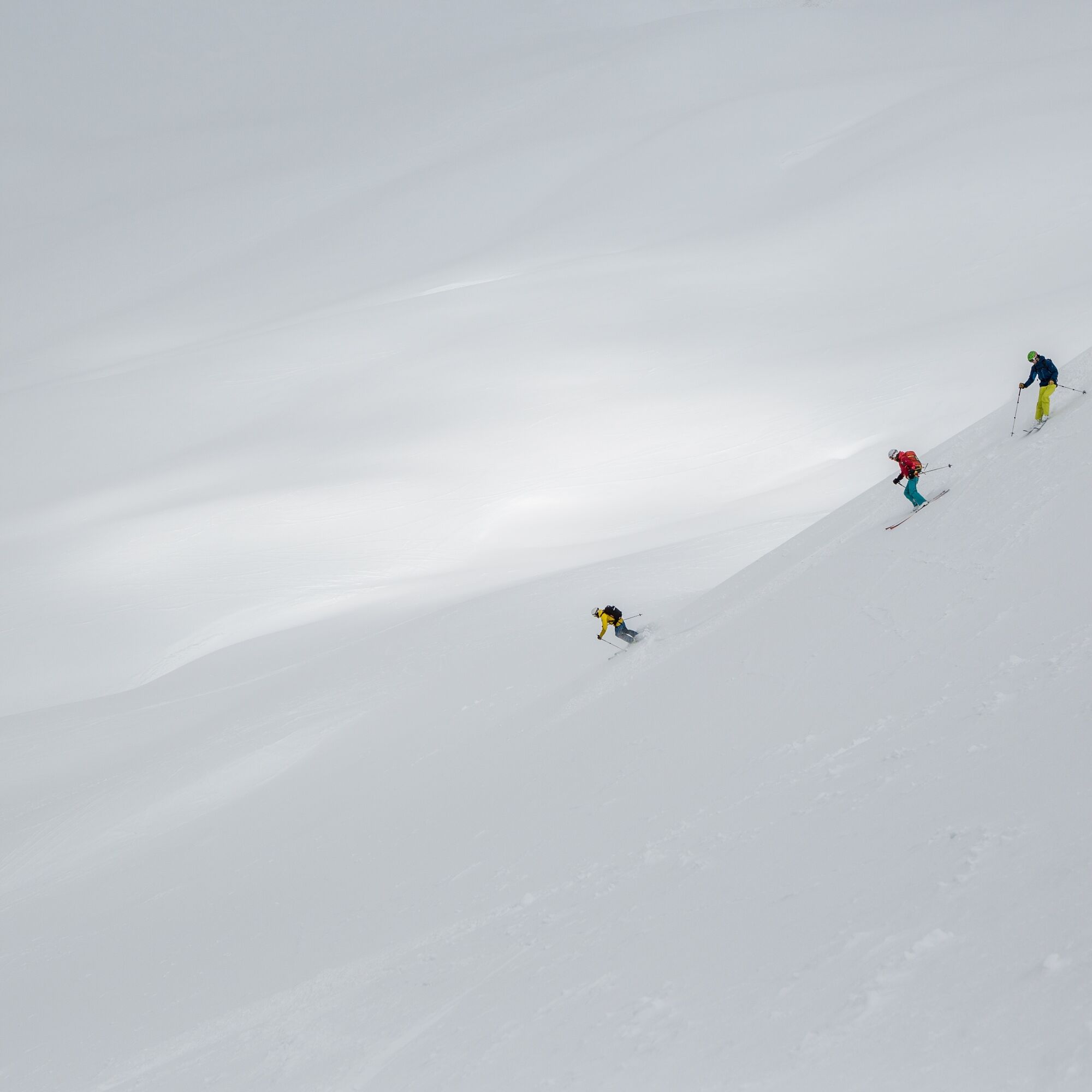

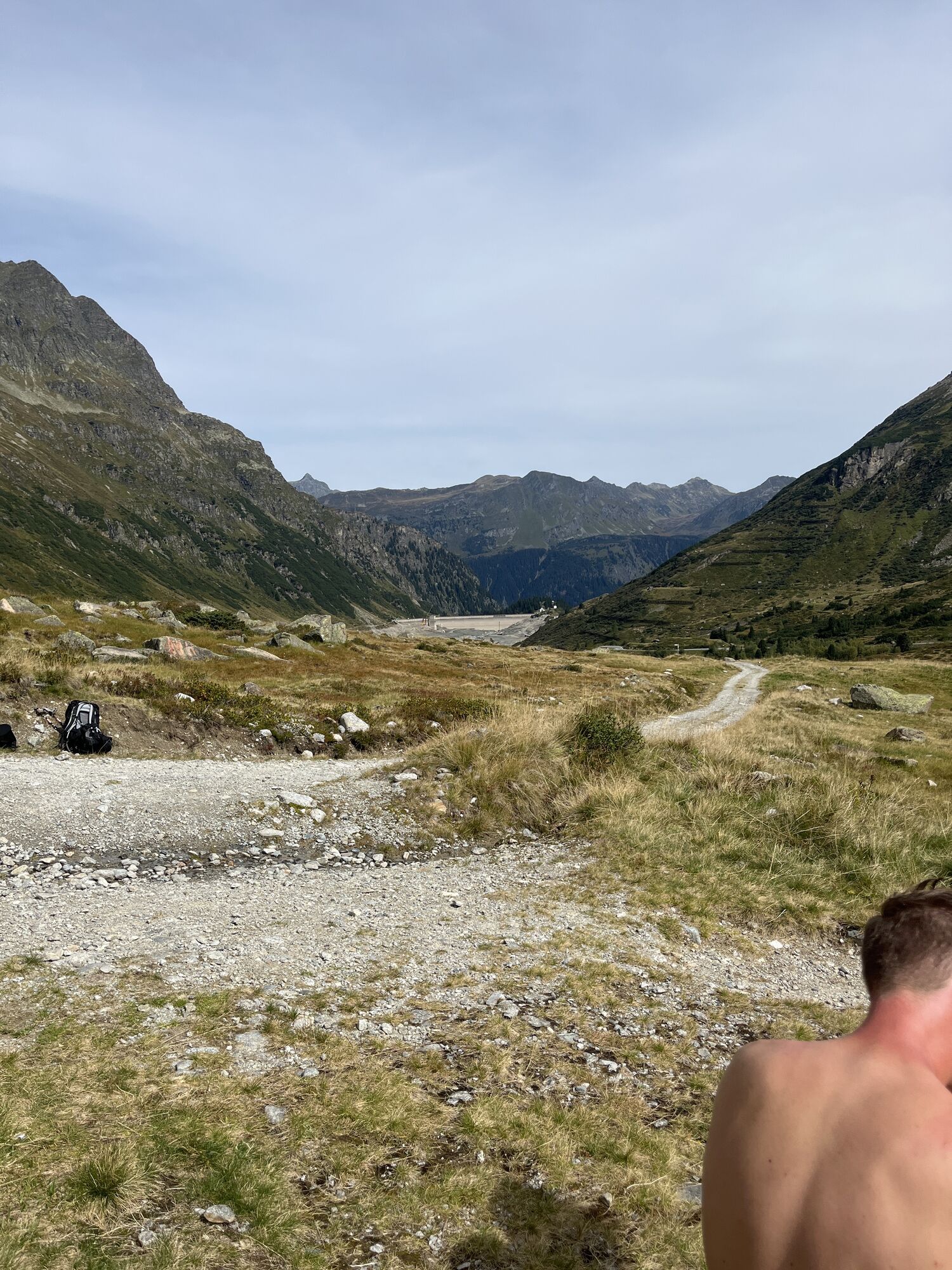
From the Vermunt reservoir lake, head south (southwest). The hut is almost always visible. At about 2,000 m the route leads south (briefly over a steep step). Note: Do not go into the valley to the southwest. The customs hut (2,220m) becomes visible on the left side. After about 1,000 m cross the flat "Black Ground" heading south. To the east, a slope leads to the hut, which you will reach in a large arc. The descent follows the same path as the ascent.
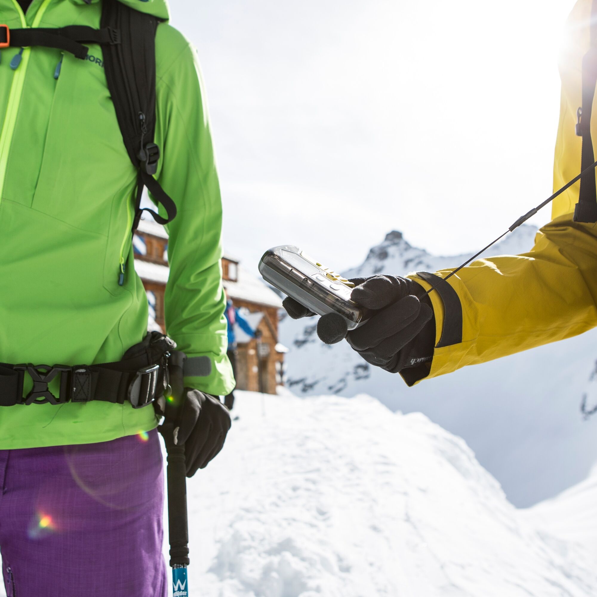
Careful planning, studying avalanche reports (www.vorarlberg.at/vorarlberg/sicherheit_inneres/sicherheit/landeswarnzentrale/weitereinformationen/lawinenwarndienst/ziel.htm), for avalanche emergencies: transceiver, shovel and probe (standard), always carry out risk assessments on site, complete ski touring training
EMERGENCY CALL: 144
European Emergency Call: 112 (works with any mobile phone/network)
https://warnung.vorarlberg.at/vtgdb/dist/index.html#//lwd_lagebericht_de.html
The ski tour is located in open terrain!
www.maps.google.com
Parking lot Vermuntbahn valley station - free for ski tourers
There can be no liability for the accuracy of the information. Ski touring in alpine terrain is always at your own risk.
Suitable for splitboards!
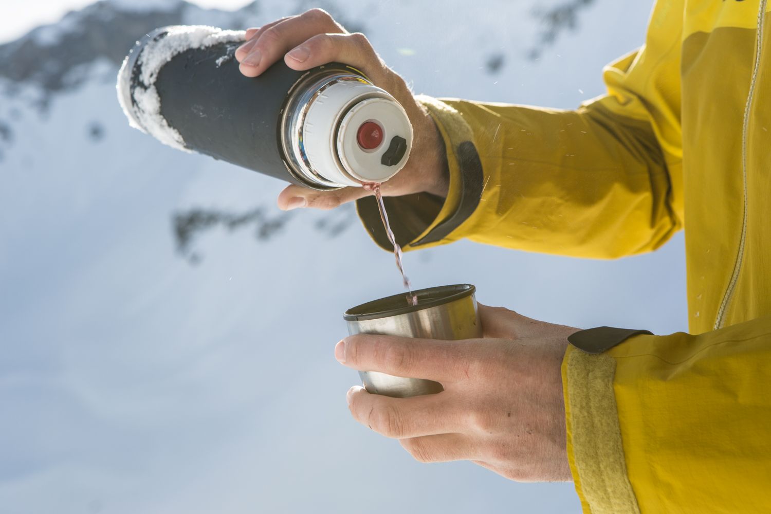
Ski tours are endurance sports. Before the ski touring season, train basic fitness in other endurance sports. The valuable stress stimuli for heart and circulation require good health and self-assessment. Avoid time pressure and increase the intensity and range of your tours slowly. Make sure you have energy reserves for the descent. Fluids, energy, and breaks are necessary to maintain performance and concentration. Hot, isotonic drinks are ideal thirst quenchers and sources of warmth. Muesli bars, dried fruit, and biscuits satisfy small hunger on the way.
The professionals from www.montafon.bergfuehrer.at and www.montafon-guides.at will guide you into the dreamlike mountain world in Montafon.
Oblíbené prohlídky v okolí
-
4.7
Smuggler’s path
středníTematická stezka 8.60 km -
4.8
Hiking trail Piz Buin - view
středníTuristika 14.4 km -
4.8
Heilbronner lodge
středníTuristika 13.0 km -
4.4
Madrisella summit path
středníTematická stezka 10.8 km -
5.0
Menta Alm - Scheibenalm
světloTuristika 11.4 km -
2.8
Bielerhöhe and circular hike around the Silvretta reservoir
středníTuristika 13.1 km -
4.7
Jamtal lodge
středníTuristika 19.6 km -
5.0
Wiegensee-Kopssee
středníTuristika 8.17 km -
4.4
Vom Kopssee zur Breitspitze Gemeinde Gaschurn, Vorarlberg/Österreich
středníTuristika 12.5 km -
4.7
Alpgues circular route
středníTematická stezka 9.36 km

Pěší turistika a stopování


Nenechte si ujít nabídky a inspiraci pro vaši příští dovolenou
Vaše e-mailová adresa byl přidán do poštovního seznamu.