


Ski tour Seelücke (2,776 m)
In the midst of the mountain world of the 3,000 meter peaks on the Swiss border, you will find easily accessible high mountains here. At the Seelücke, the destination of this route, you have an impressive...
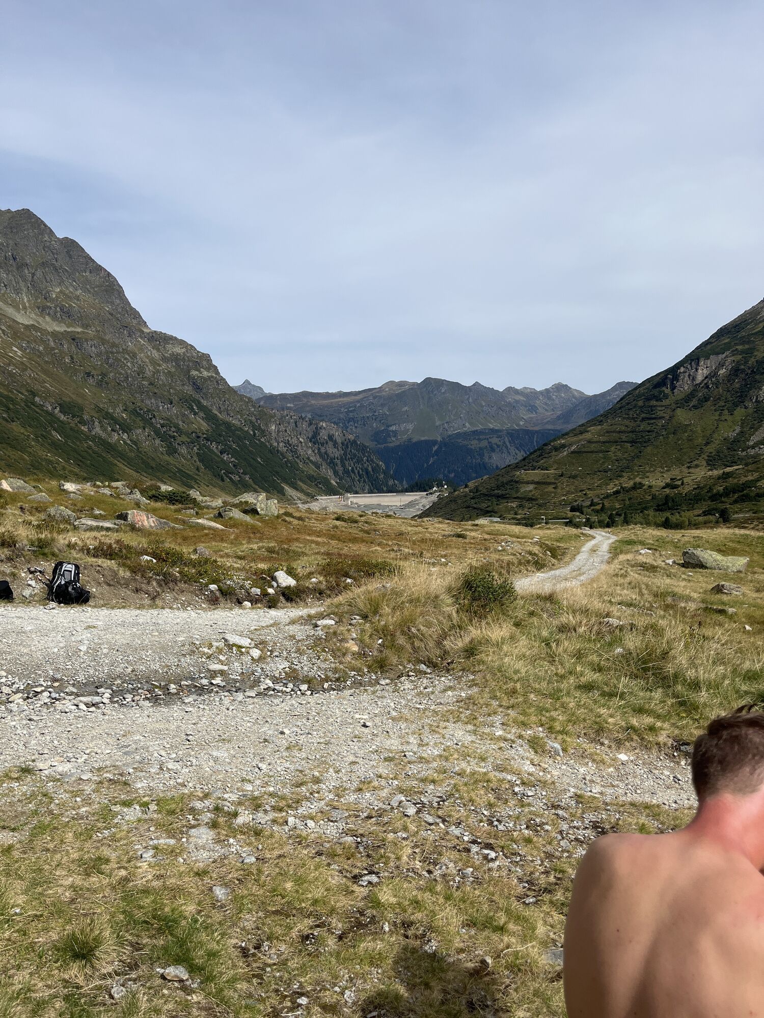
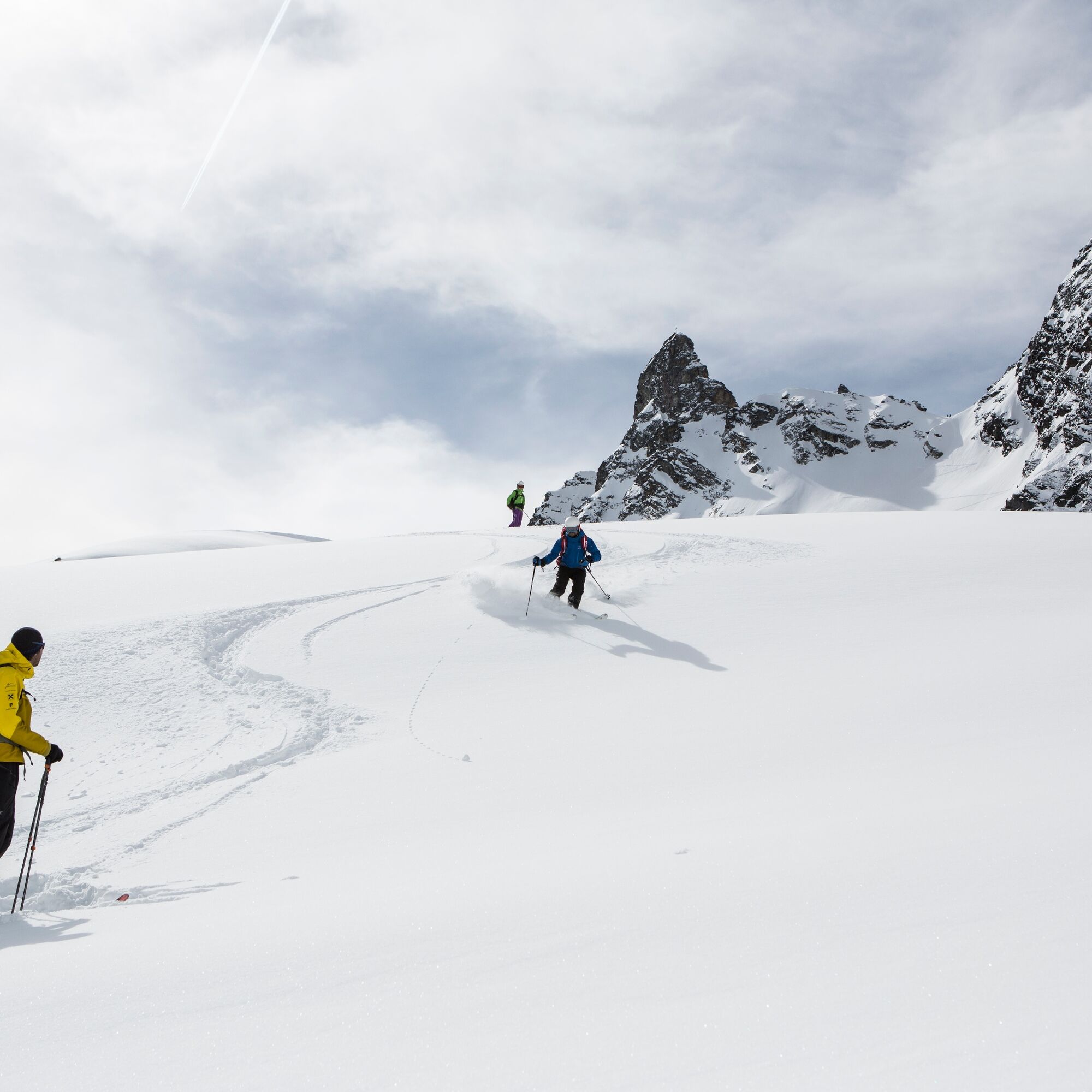
In the midst of the mountain world of the 3,000 meter peaks on the Swiss border, you will find easily accessible high mountains here. At the Seelücke, the destination of this route, you have an impressive view into Switzerland. Depending on conditions, several descents are available. In good conditions, a descent with skis of almost 2,000 vertical meters down to Partenen is possible.

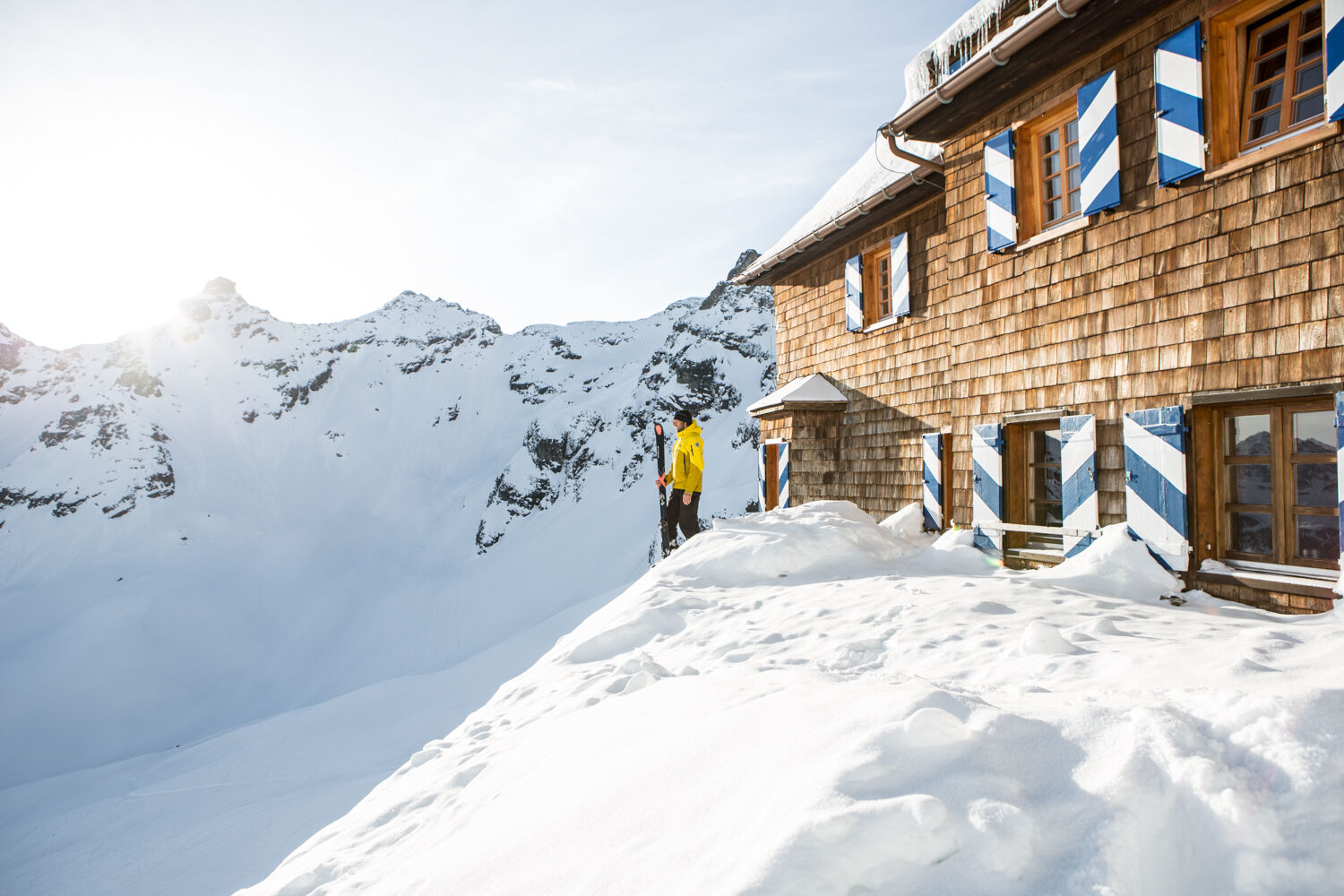
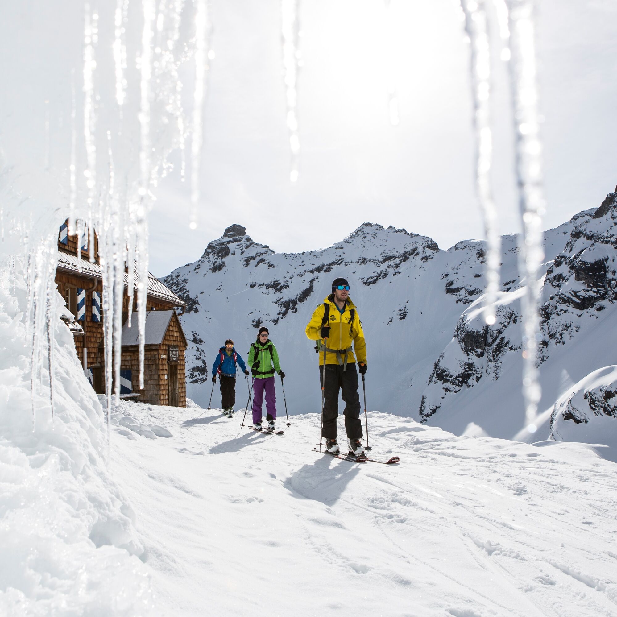
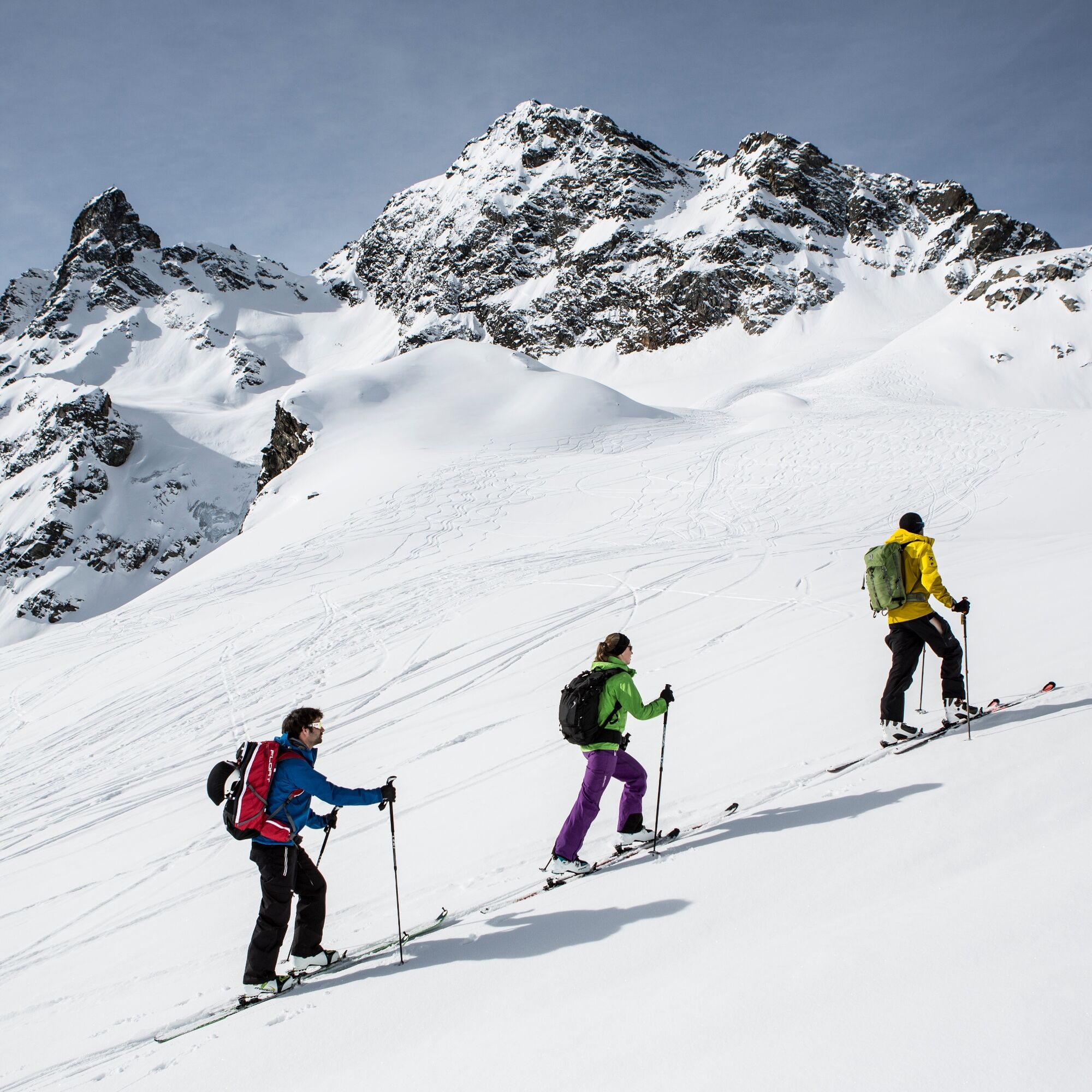
Take the Vermuntbahn and the tunnel bus to Vermuntsee in the Silvretta. From here, you ascend over the Schwarzen Böden towards the Saarbrücker Hütte. Past the small Litzner and Saarbrücker Hütte, you continue ascending to the Seelücke at 2,770 m. This marks the Swiss border at the foot of the large Litzner and Seehorn with an impressive panoramic view.
Descent: Depending on conditions, return to Vermuntsee or even down to the valley at Partenen.
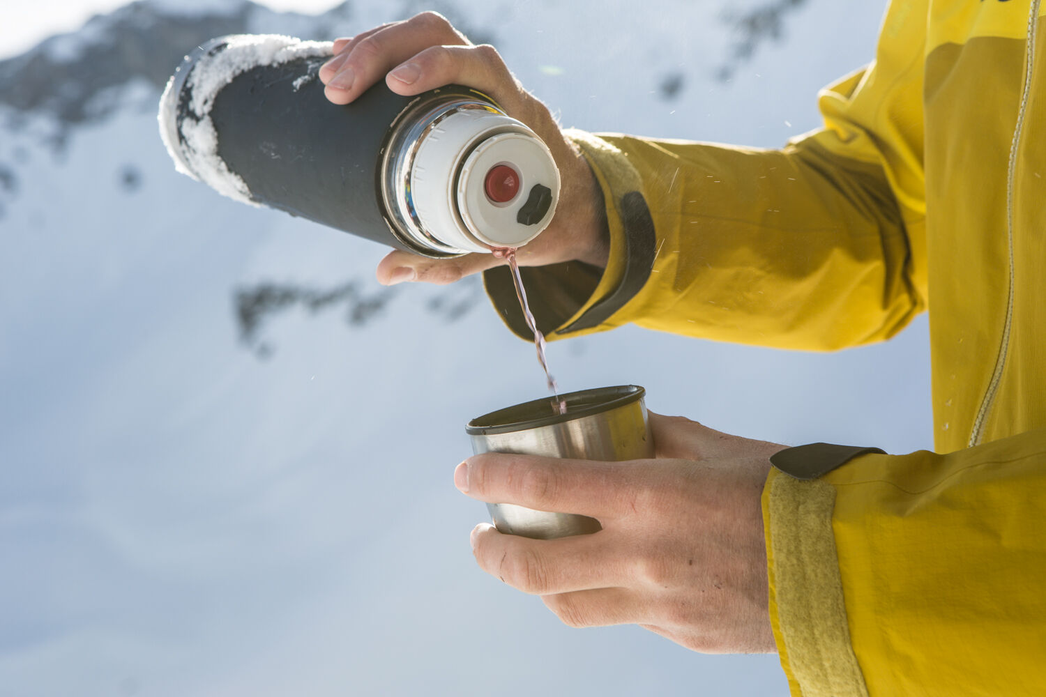
Ski touring skis, skins, possibly crampons, ski poles, ski helmet, avalanche equipment with transceiver, avalanche probe and shovel, ski touring backpack (approx. 30 liters) with avalanche airbag and rain cover, ski touring boots, ski socks, warm and durable clothing in a layering system, ski touring jacket and pants, light gloves for the ascent, warm gloves for the descent, hat/headband, possibly ski goggles, sun and rain protection, provisions and drinking water, thermos with hot drink, first aid kit, pocket knife, mobile phone, headlamp and reflectors, map material, bivy sack and rescue blanket
EMERGENCY CALL: 144
European emergency call: 112 (works with any mobile phone/network)
www.vorarlberg.travel/safety-tips
Avalanche report:
https://warnung.vorarlberg.at/vtgdb/dist/index.html#//lwd_lagebericht_de.html
The ski tours take place in open terrain. Participation is at your own risk.
Coming from Bludenz, take the Bludenz/Montafon motorway exit and follow the L188 into the Montafon to Partenen. On the right side is the base station of the Vermuntbahn, with which you can reach Silvretta-Bielerhöhe.
Just leave your car standing
The Montafonerbahn regional buses operate throughout the Montafon. The main lines run hourly from Schruns station.
From Schruns station, take bus line 650 to Partenen. The stop is: Partenen "Bergbahnen". From here, you reach Silvretta-Bielerhöhe with the Vermuntbahn and the tunnel bus. The exit is Vermuntstausee.
For the return trip:
Take the tunnel bus and Vermuntbahn back down to the valley at Partenen. From there, take bus line 650 back to Schruns station.
By train:
From Bludenz station, the Montafonerbahn runs hourly (sometimes every half hour). There are also direct connections from Lindau (D) and Bregenz.
Free at the base station of the Vermuntbahn in Partenen
The north-facing exposure often allows powder snow descents.
Suitable for splitboard!
The professionals of the Montafon mountain guides recommend thorough basic training, avalanche and risk management. We recommend you take the guided ski tours with our Montafon mountain guides. The program for the tours can be found at montafon.at/skitouren
Oblíbené prohlídky v okolí
-
4.8
Hiking trail Piz Buin - view
středníTuristika 14.4 km -
4.7
Smuggler’s path
středníTematická stezka 8.60 km -
2.8
Bielerhöhe and circular hike around the Silvretta reservoir
středníTuristika 13.1 km -
4.4
Madrisella summit path
středníTematická stezka 10.8 km -
4.8
Heilbronner lodge
středníTuristika 13.0 km -
5.0
Menta Alm - Scheibenalm
světloTuristika 11.4 km -
5.0
Wiegensee-Kopssee
středníTuristika 8.17 km -
4.7
Jamtal lodge
středníTuristika 19.6 km -
5.0
Großer Piz Buin (3.312m), Normalweg 2019 über Ochsentaler Gletscher
heavyVysokohorská turistika 24.1 km -
4.4
Vom Kopssee zur Breitspitze Gemeinde Gaschurn, Vorarlberg/Österreich
středníTuristika 12.5 km

Pěší turistika a stopování


Nenechte si ujít nabídky a inspiraci pro vaši příští dovolenou
Vaše e-mailová adresa byl přidán do poštovního seznamu.