







Vorderkapellalpe tour

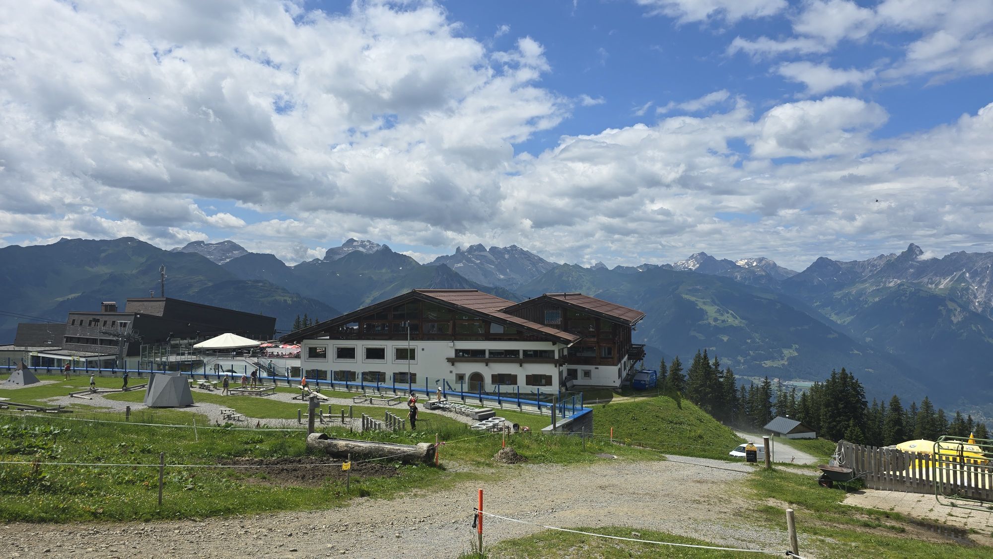
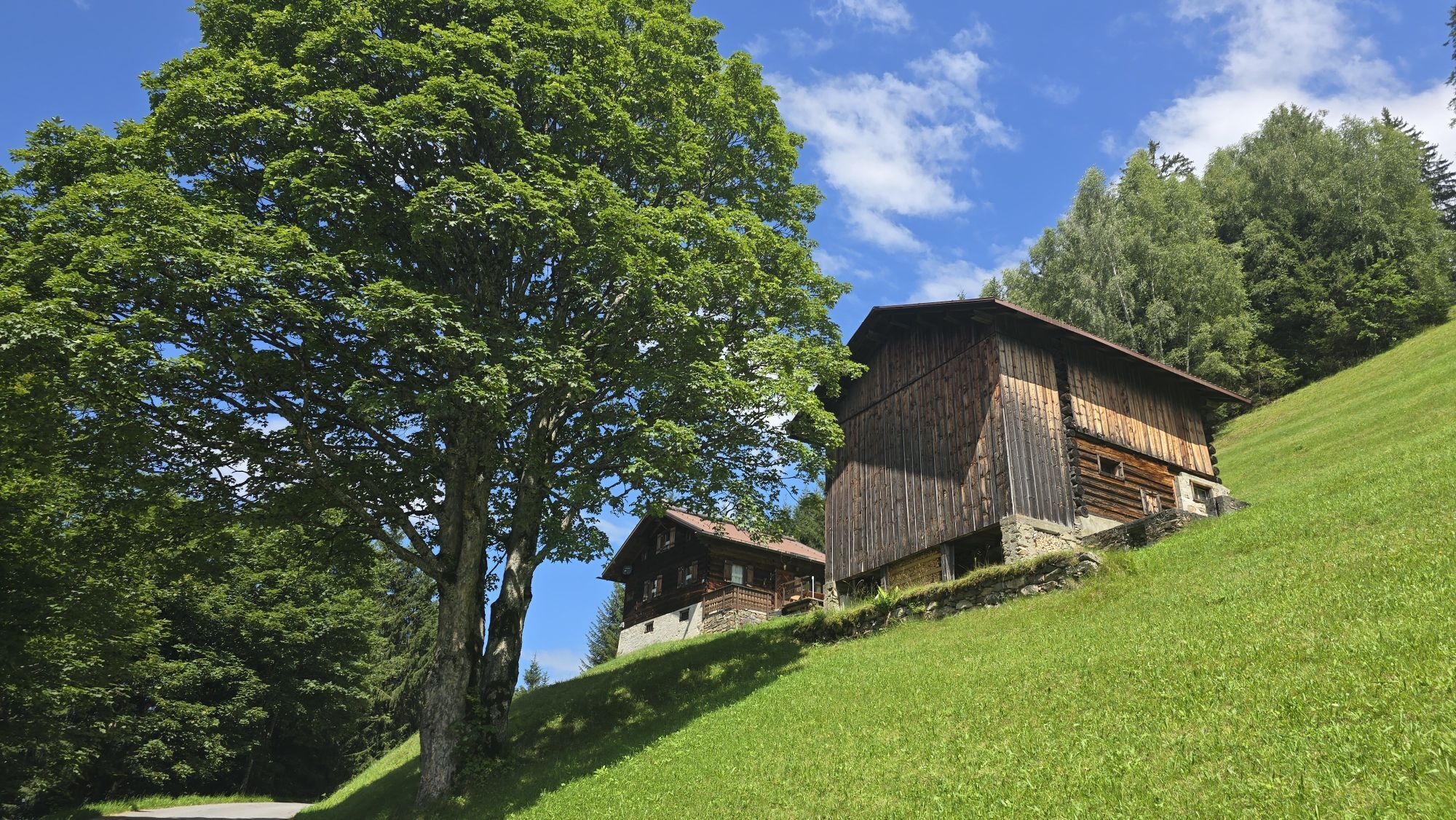
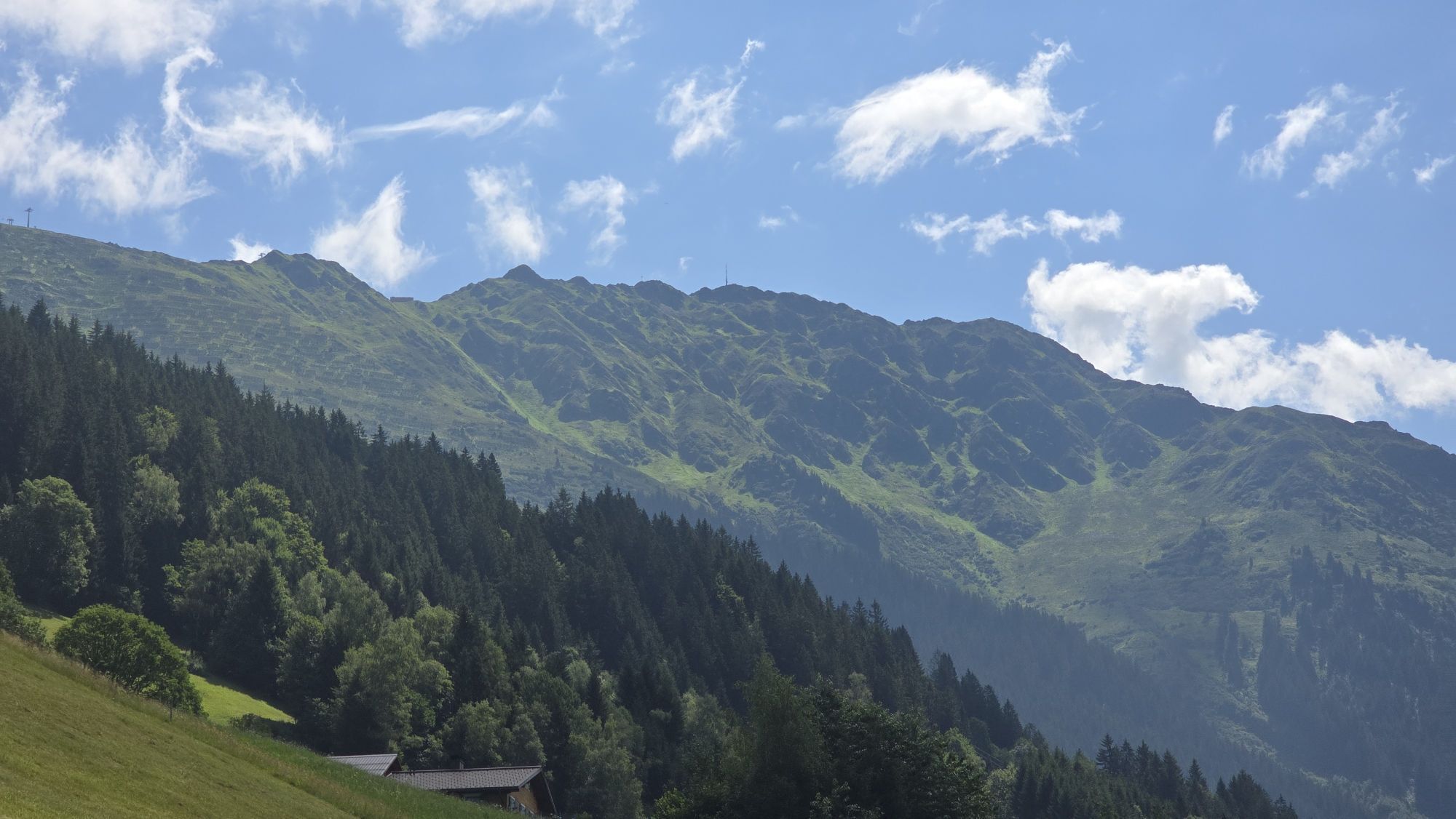
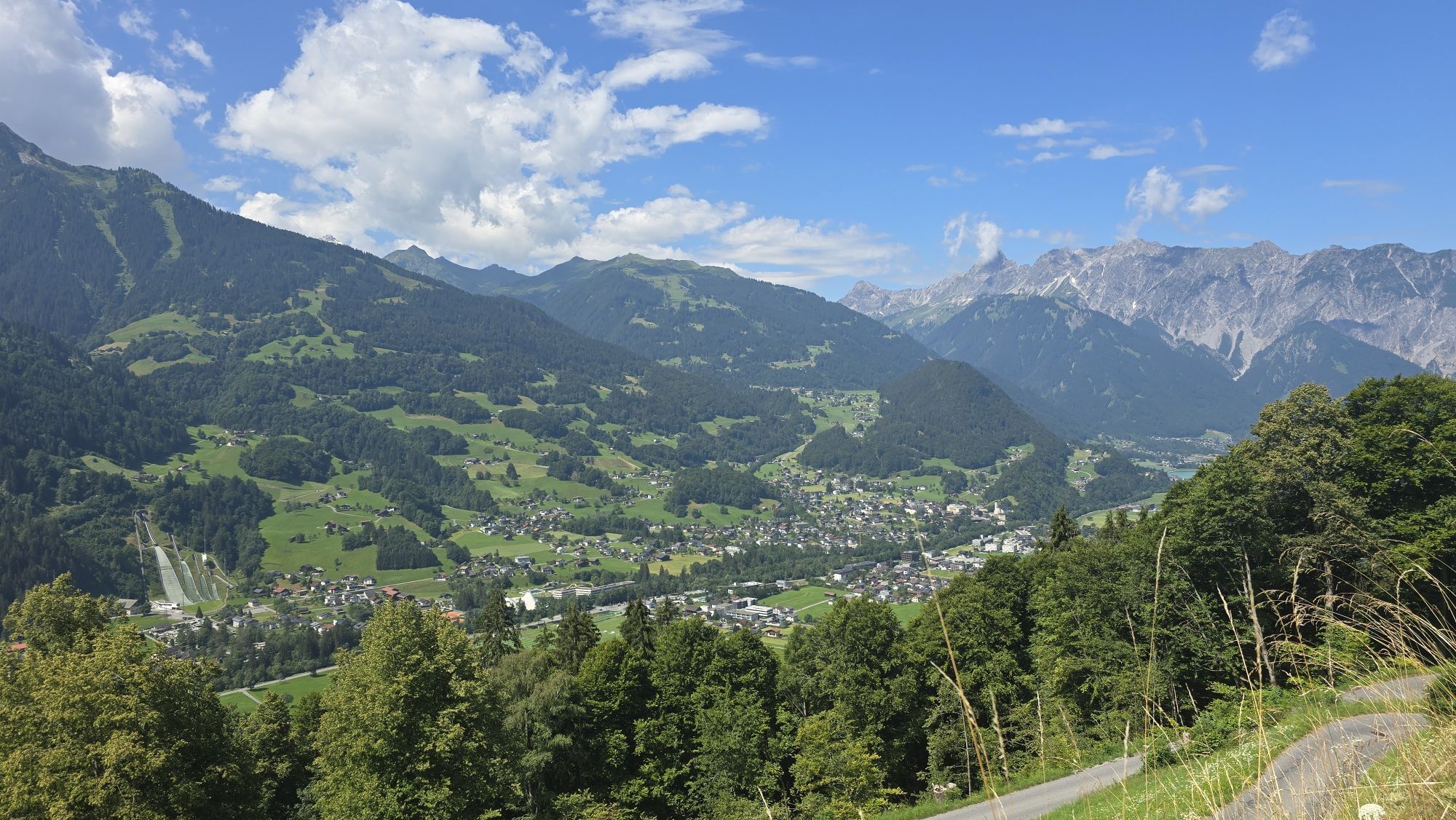
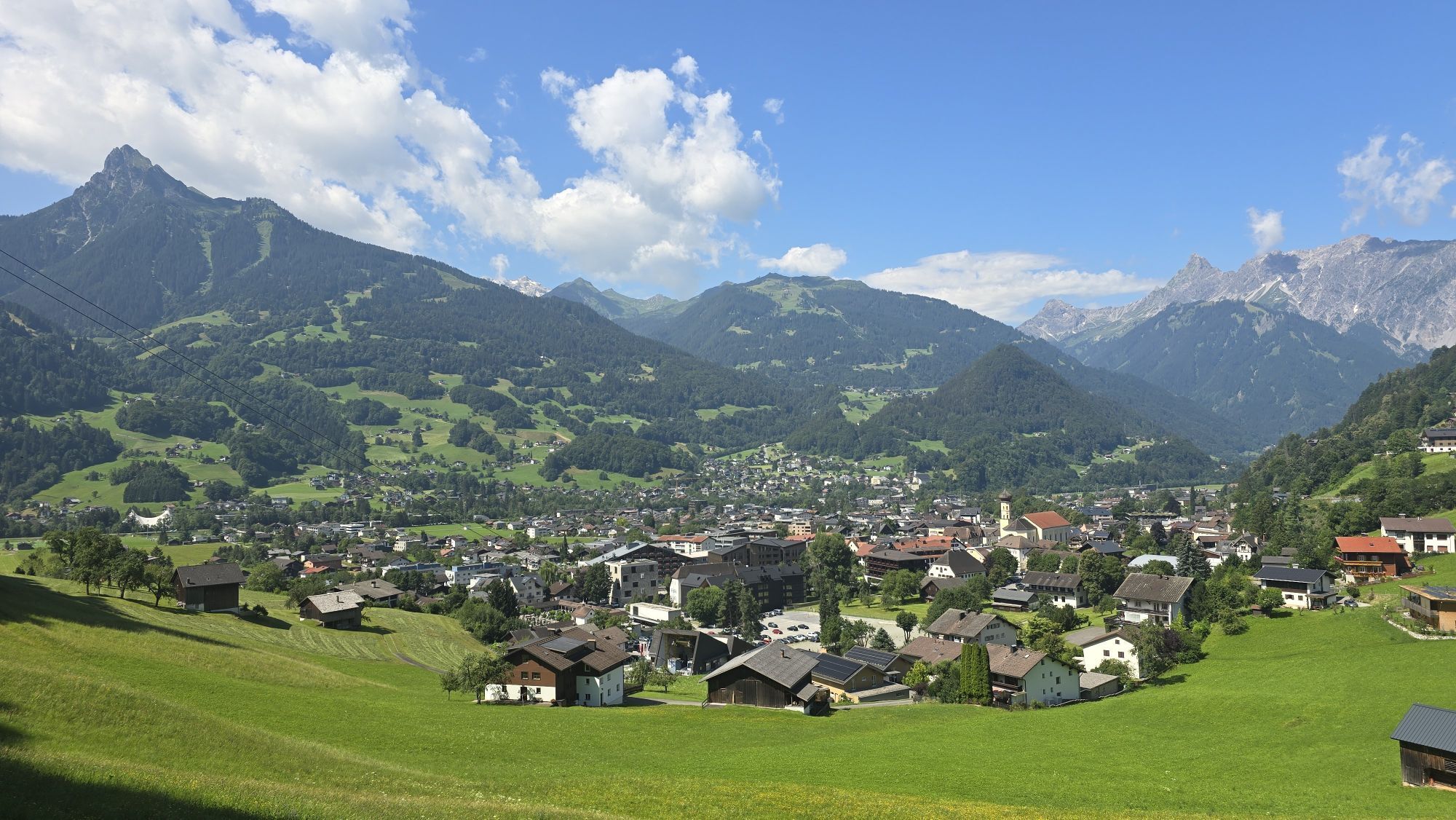
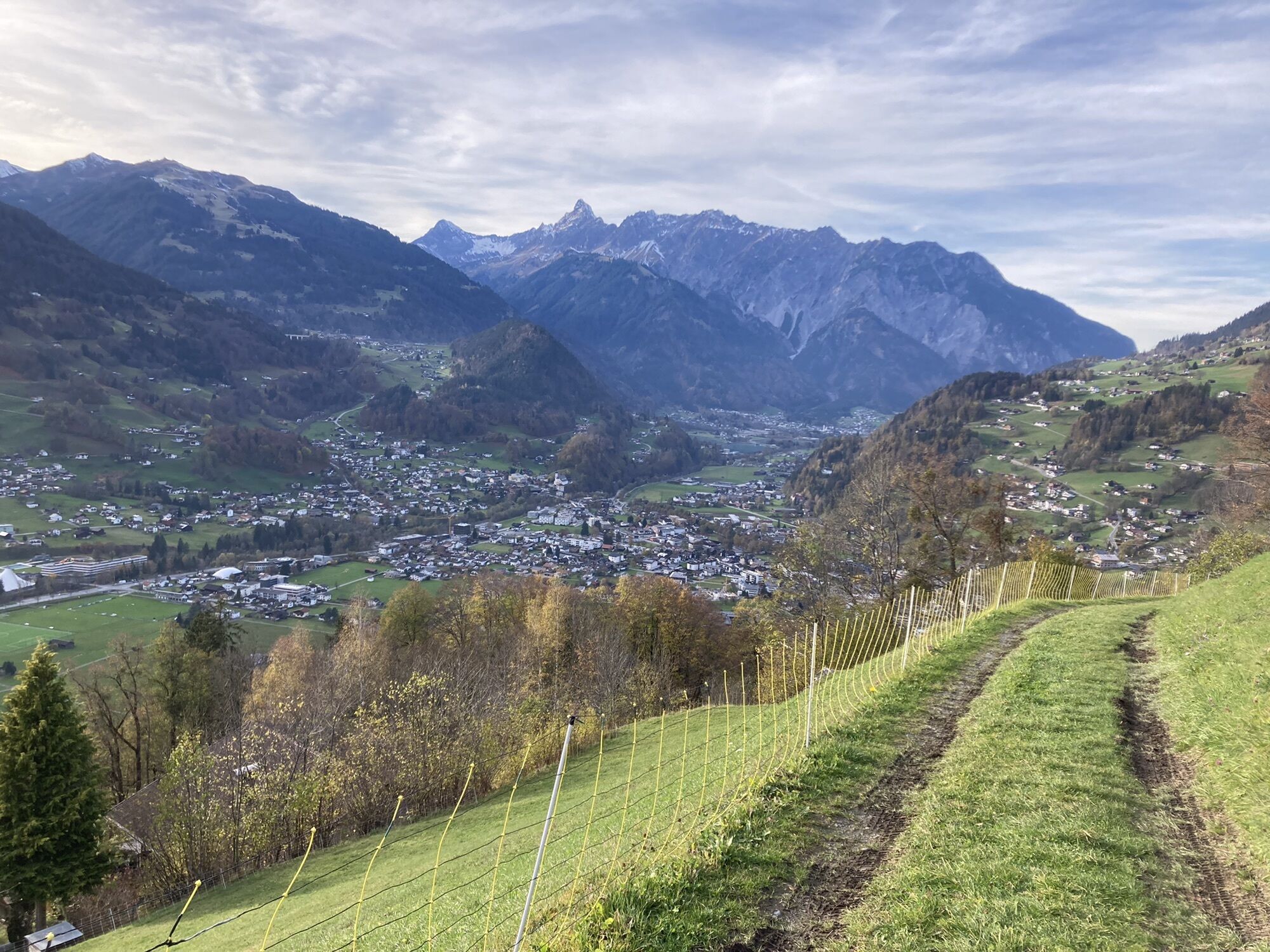
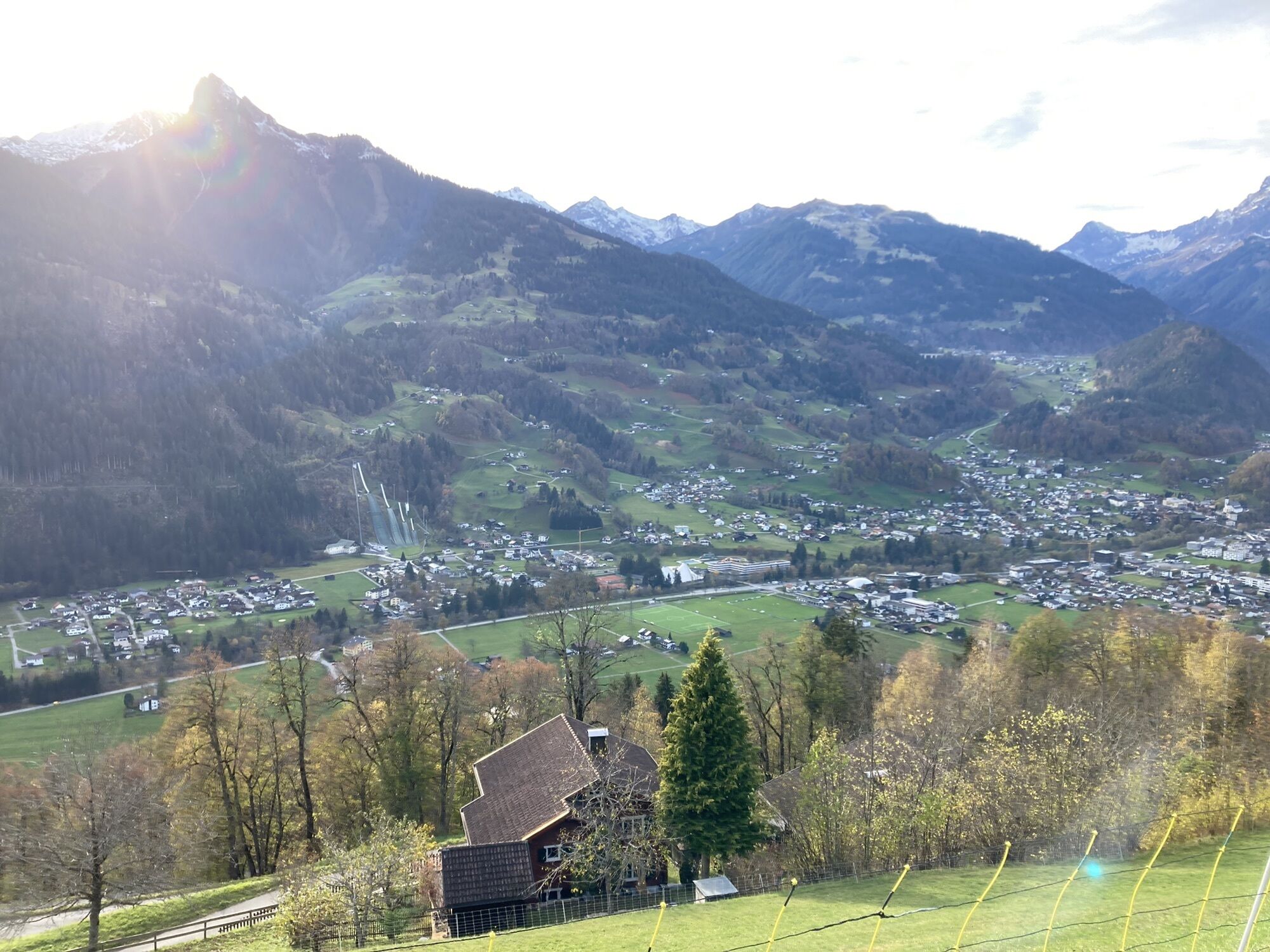
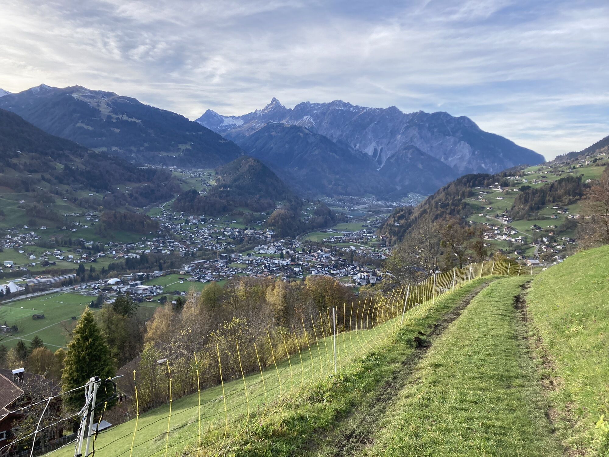
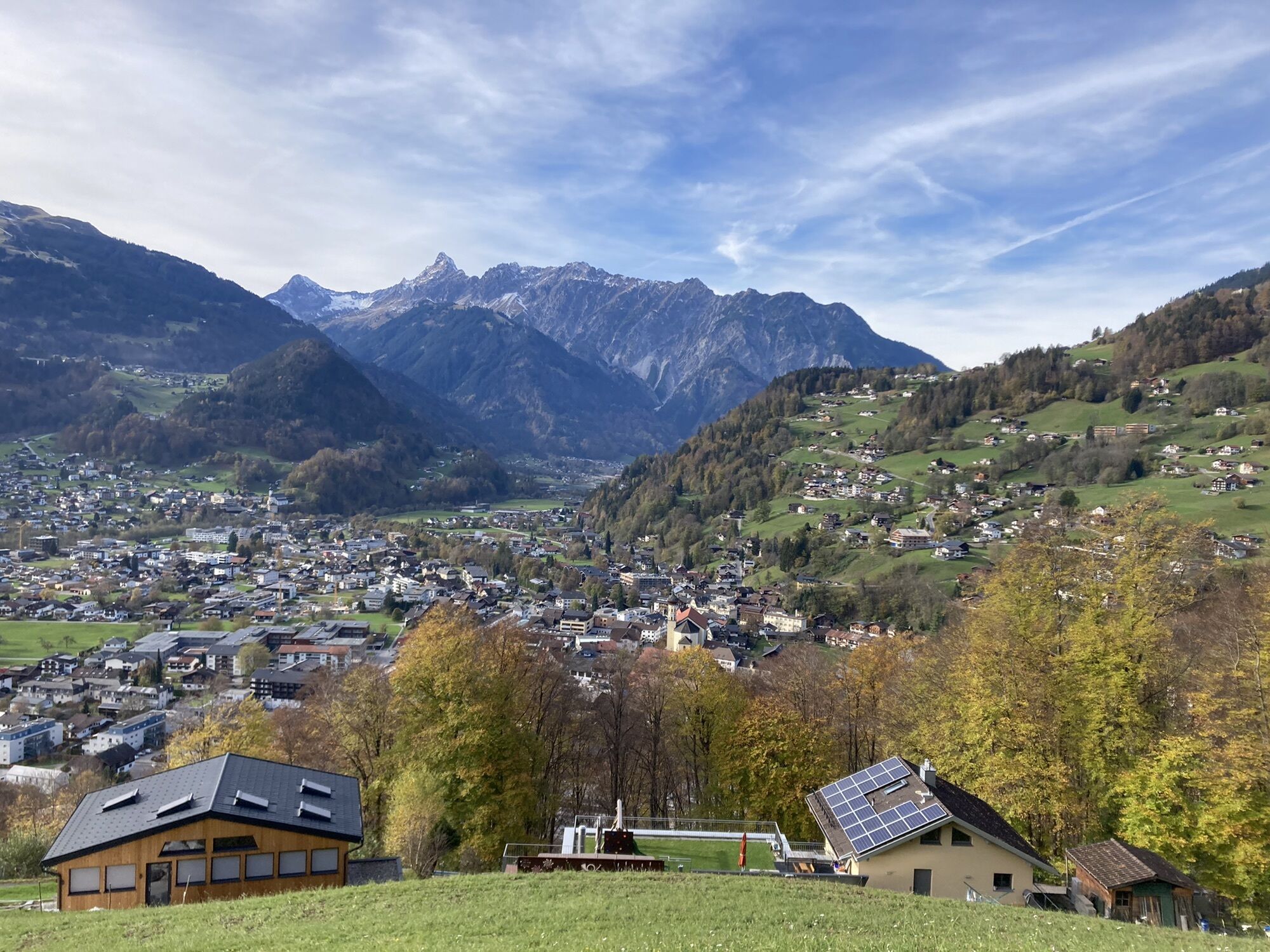
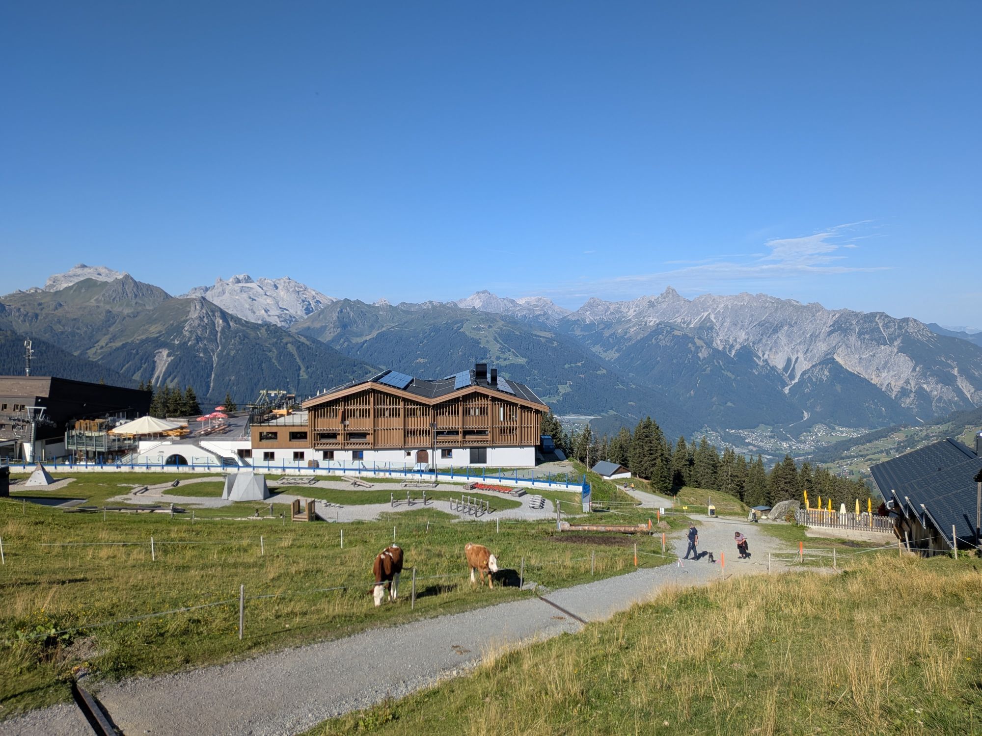
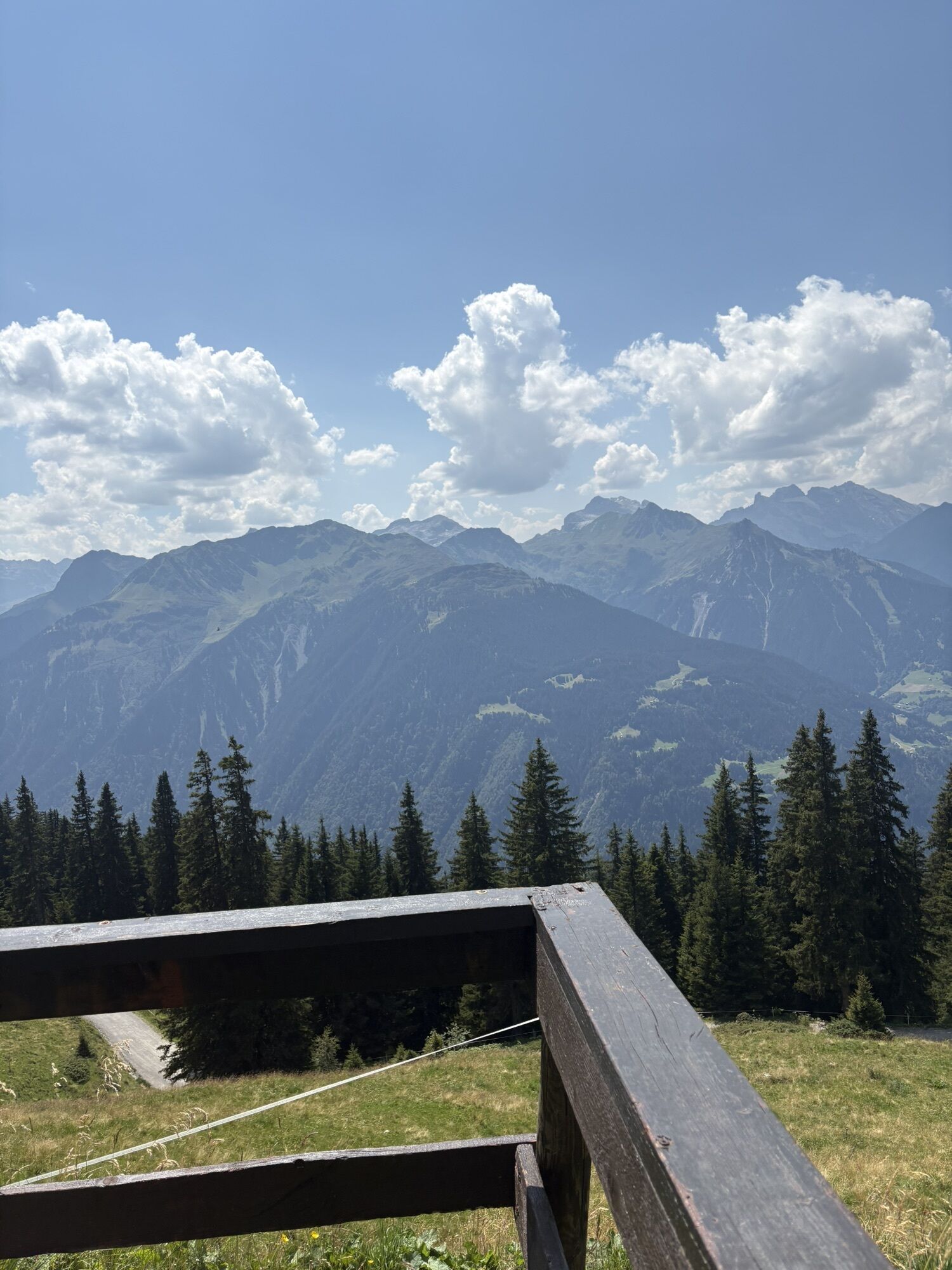
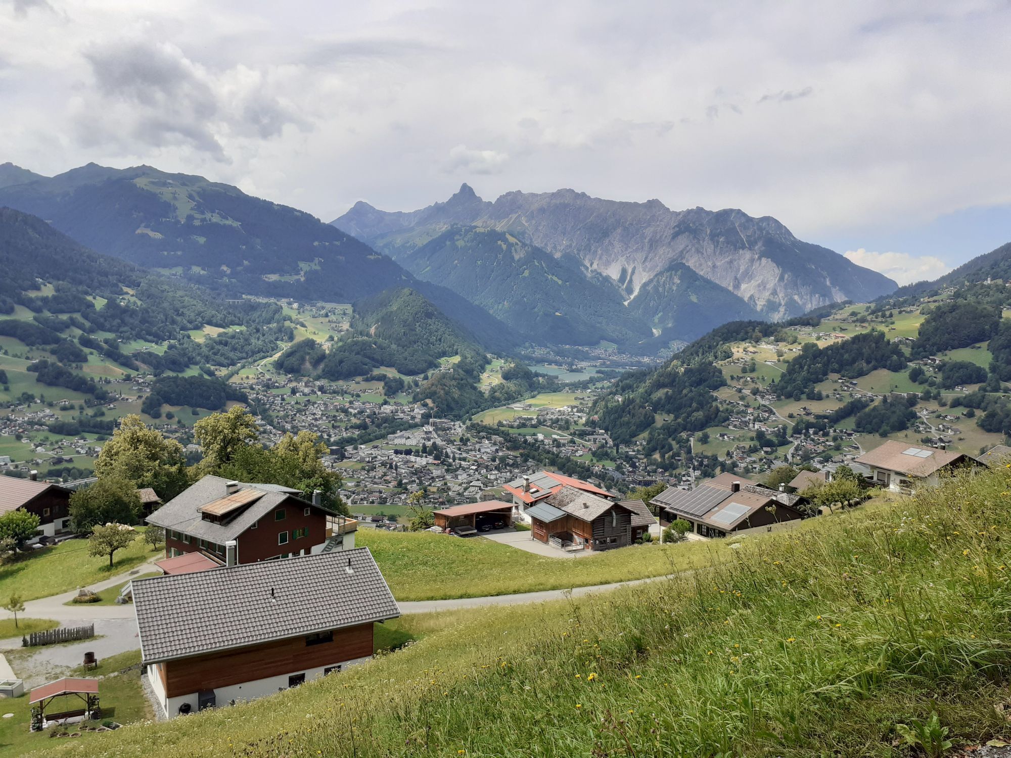
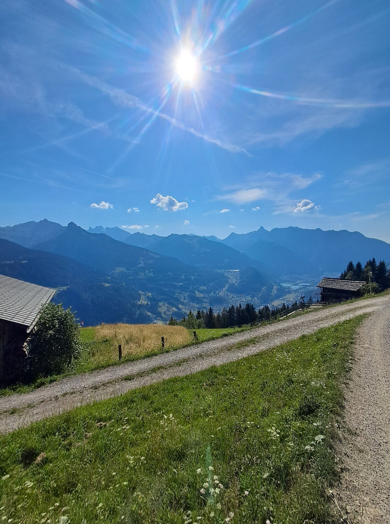
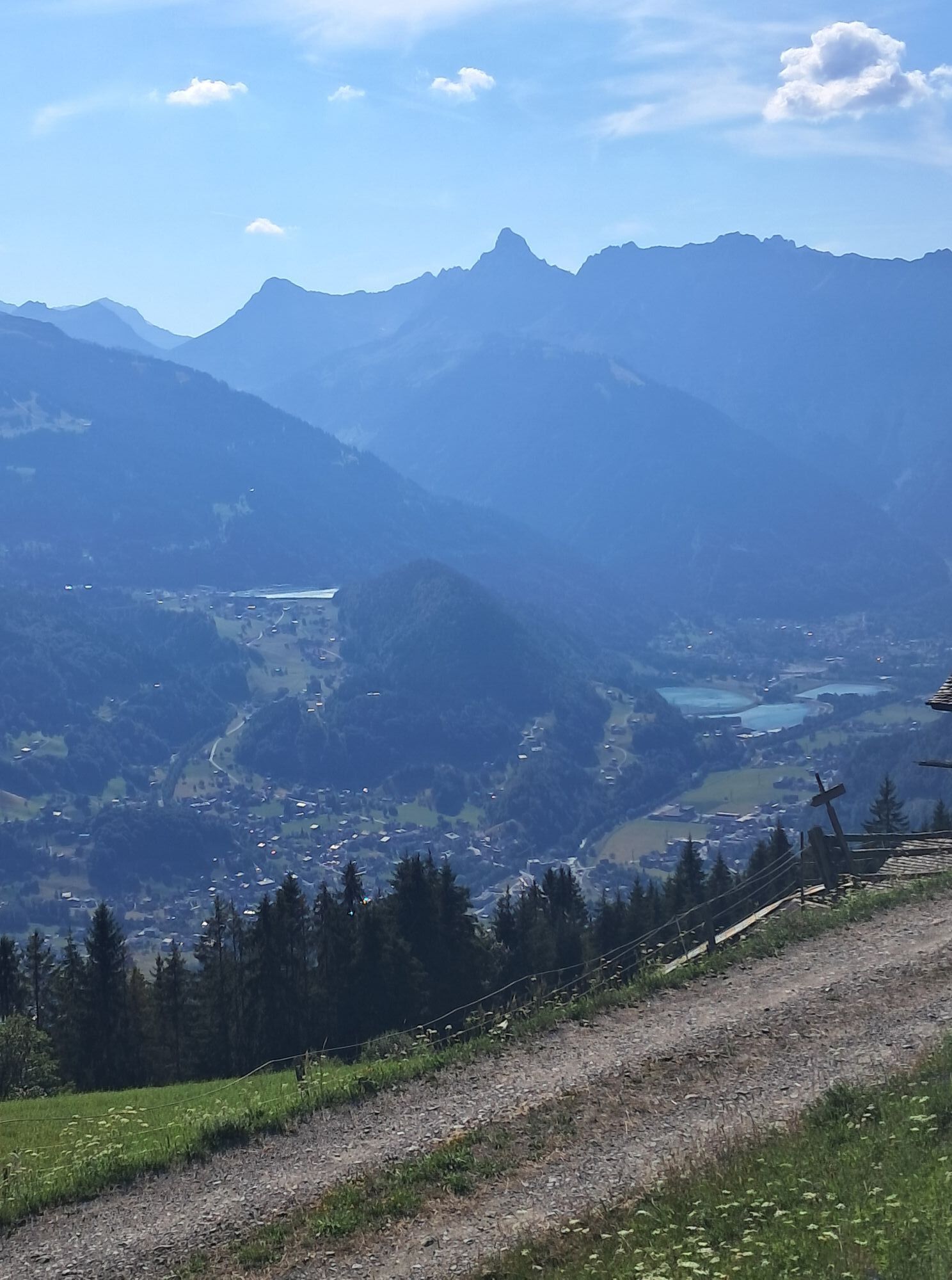
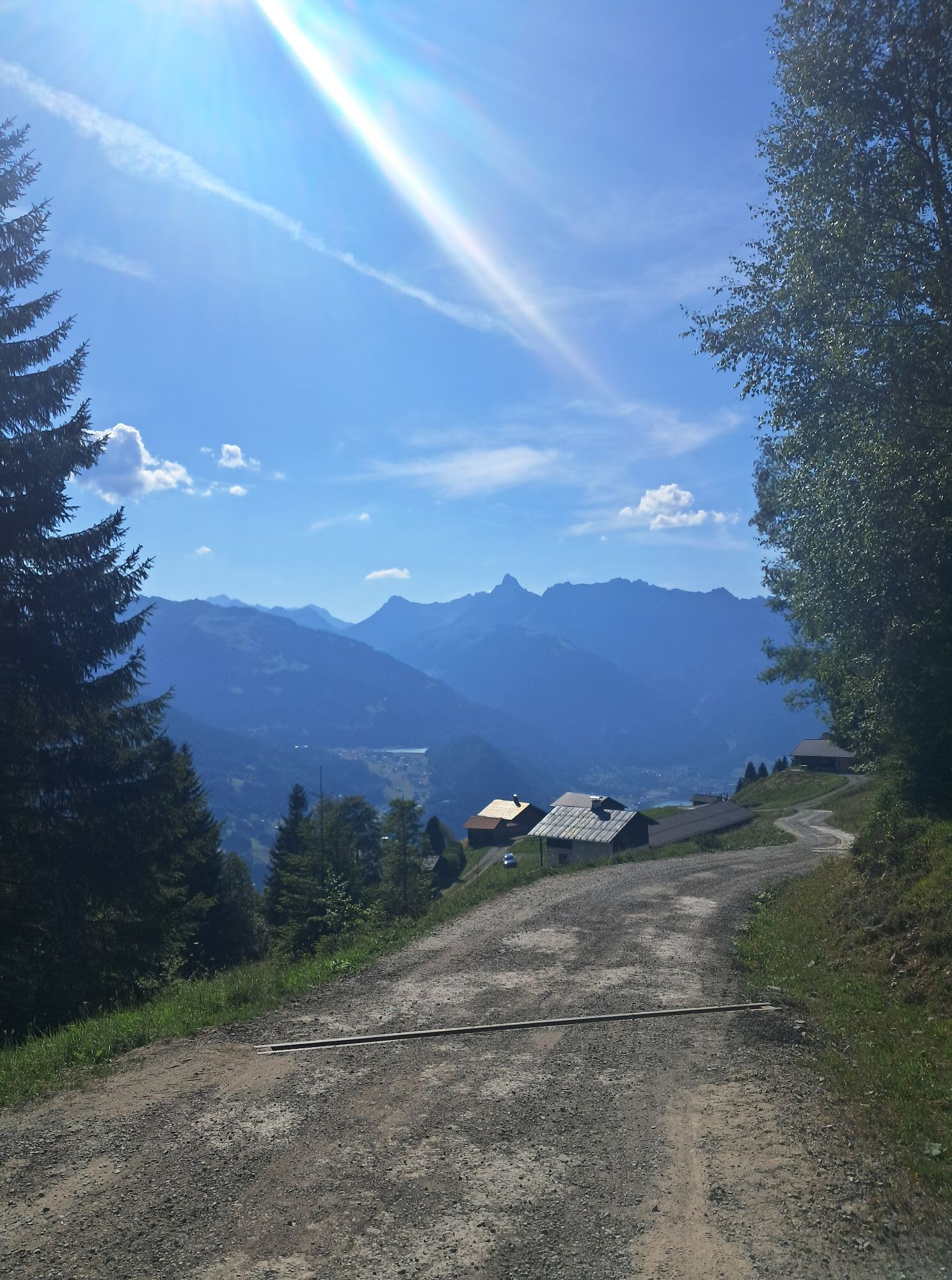
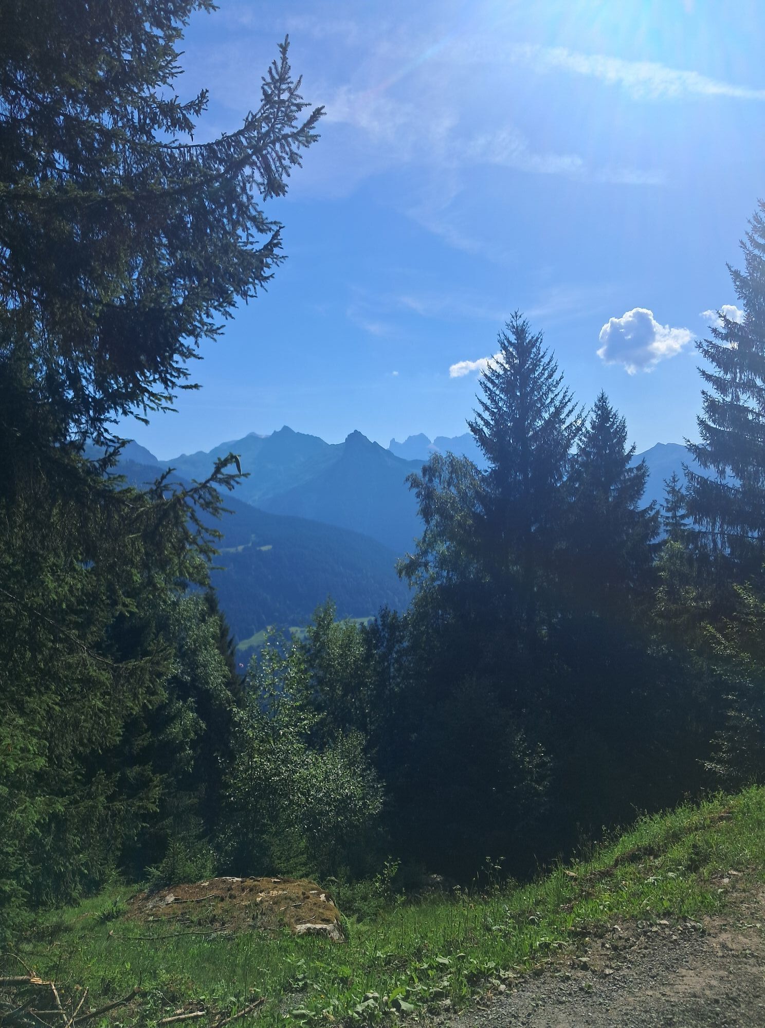
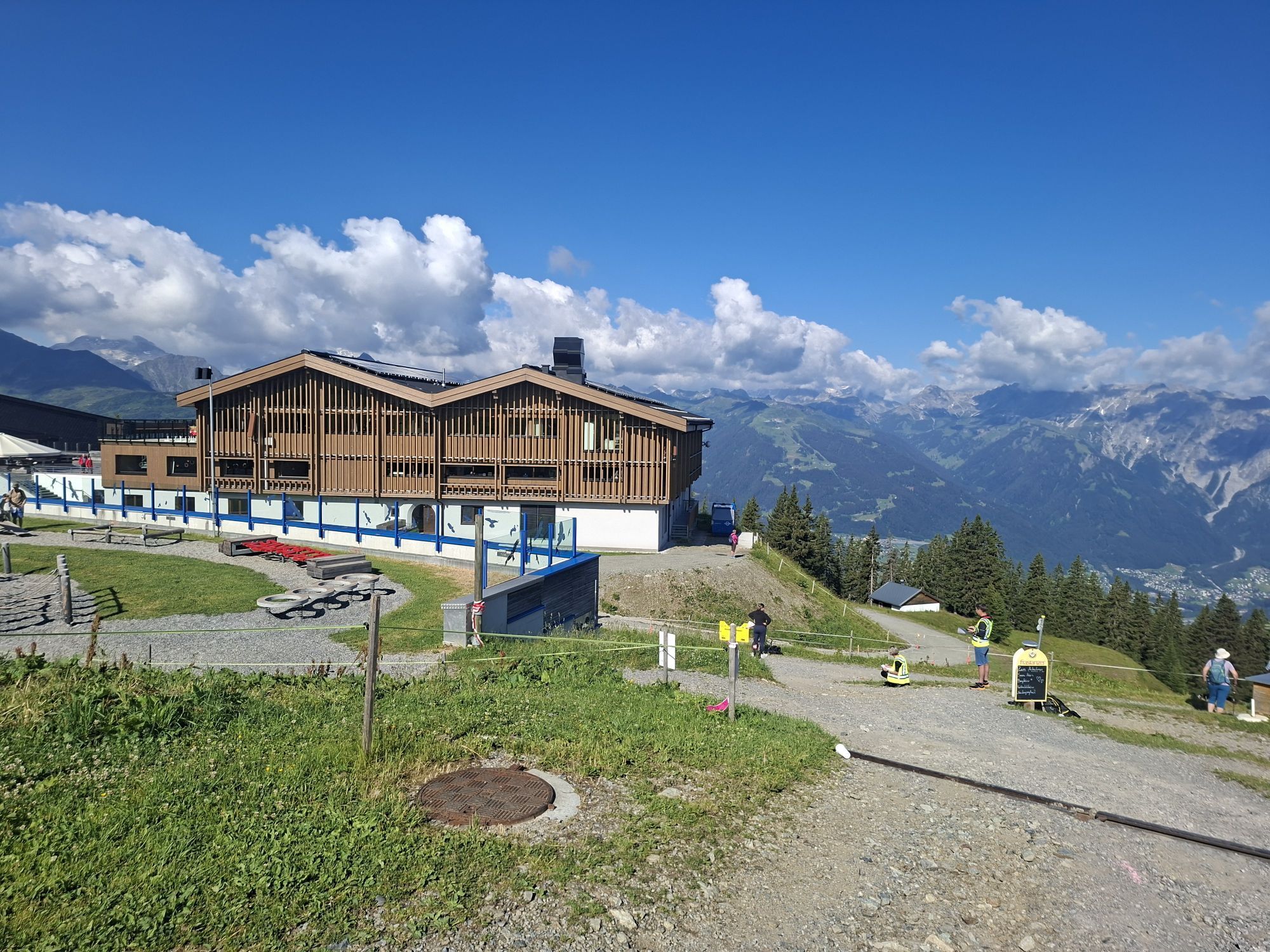
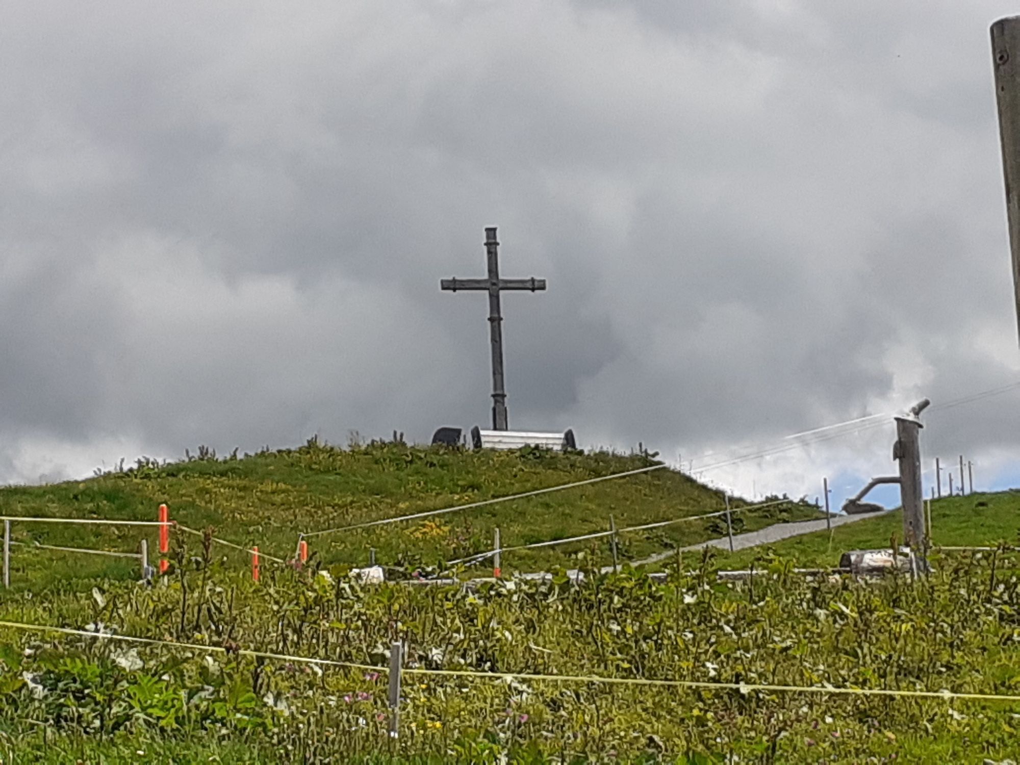
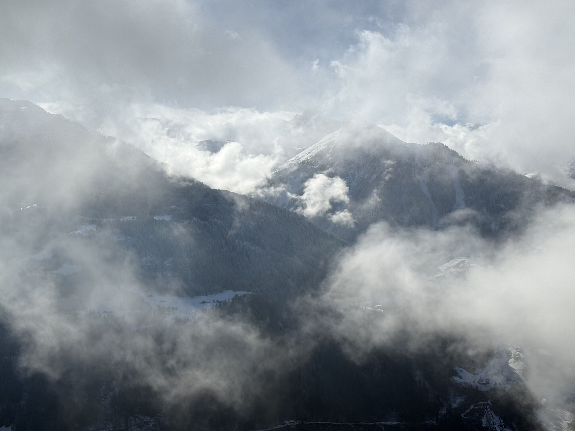
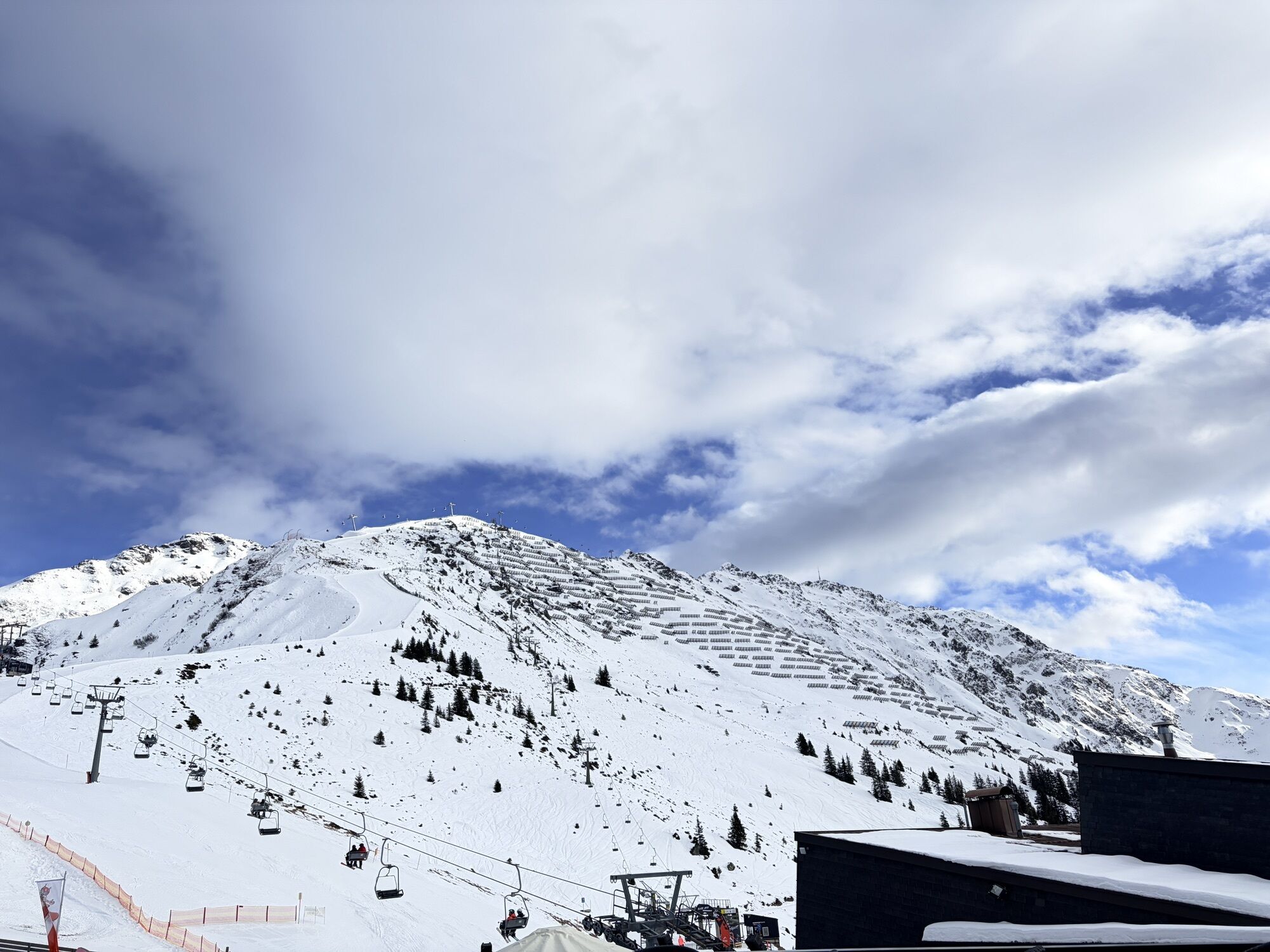
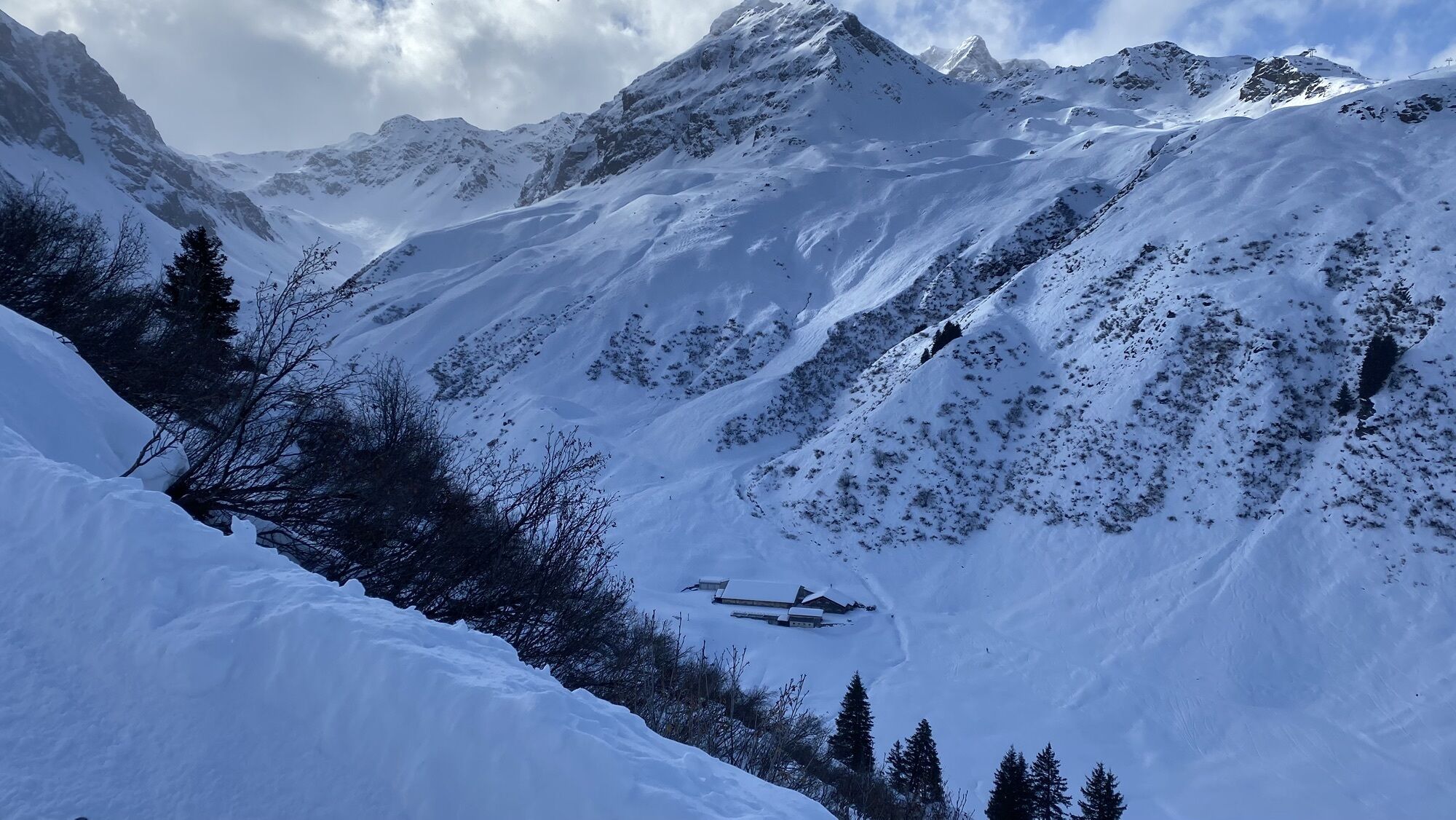
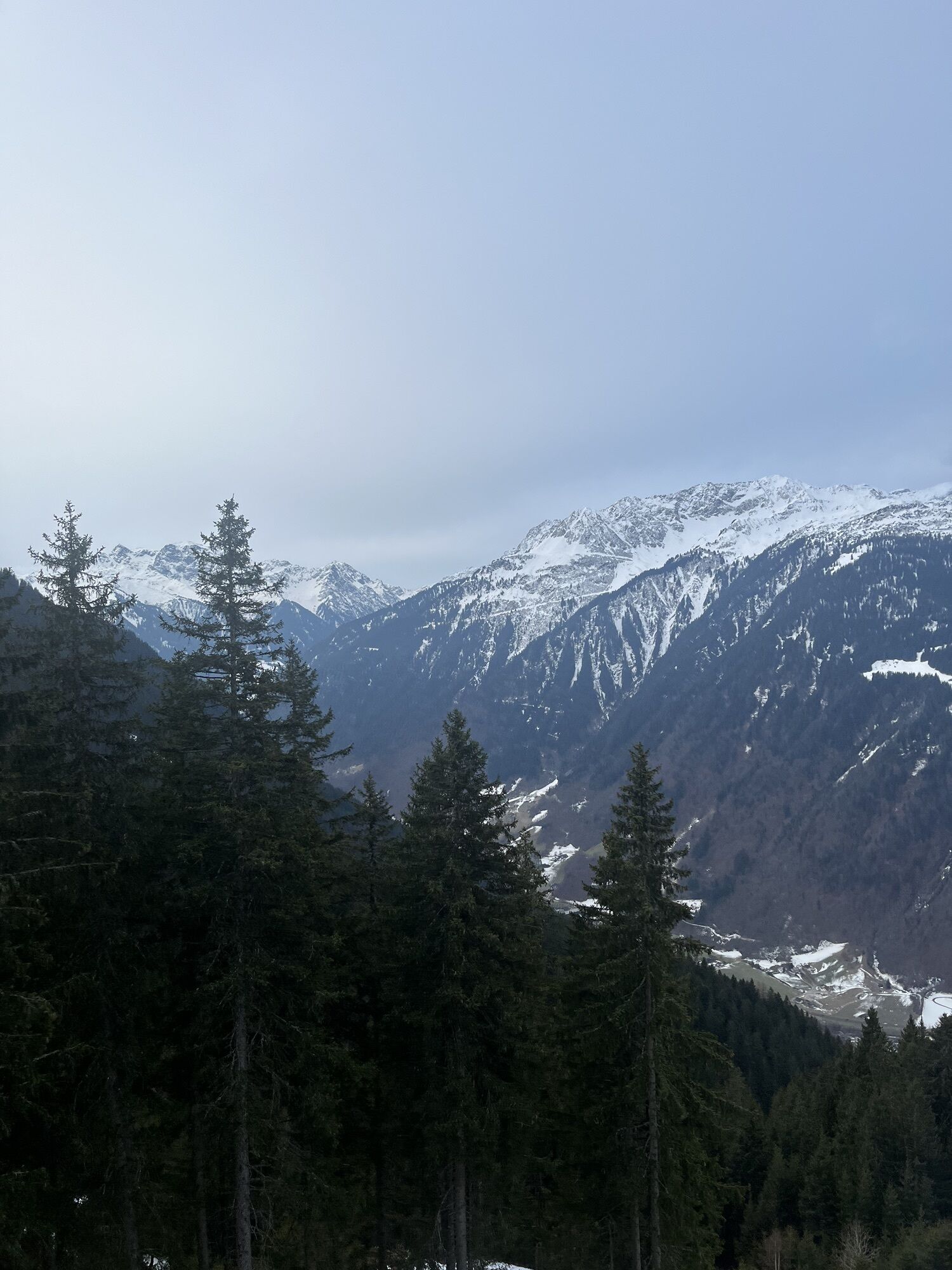
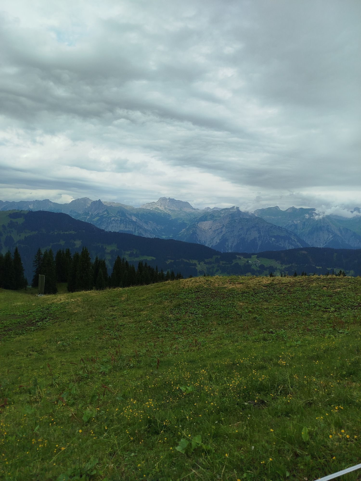
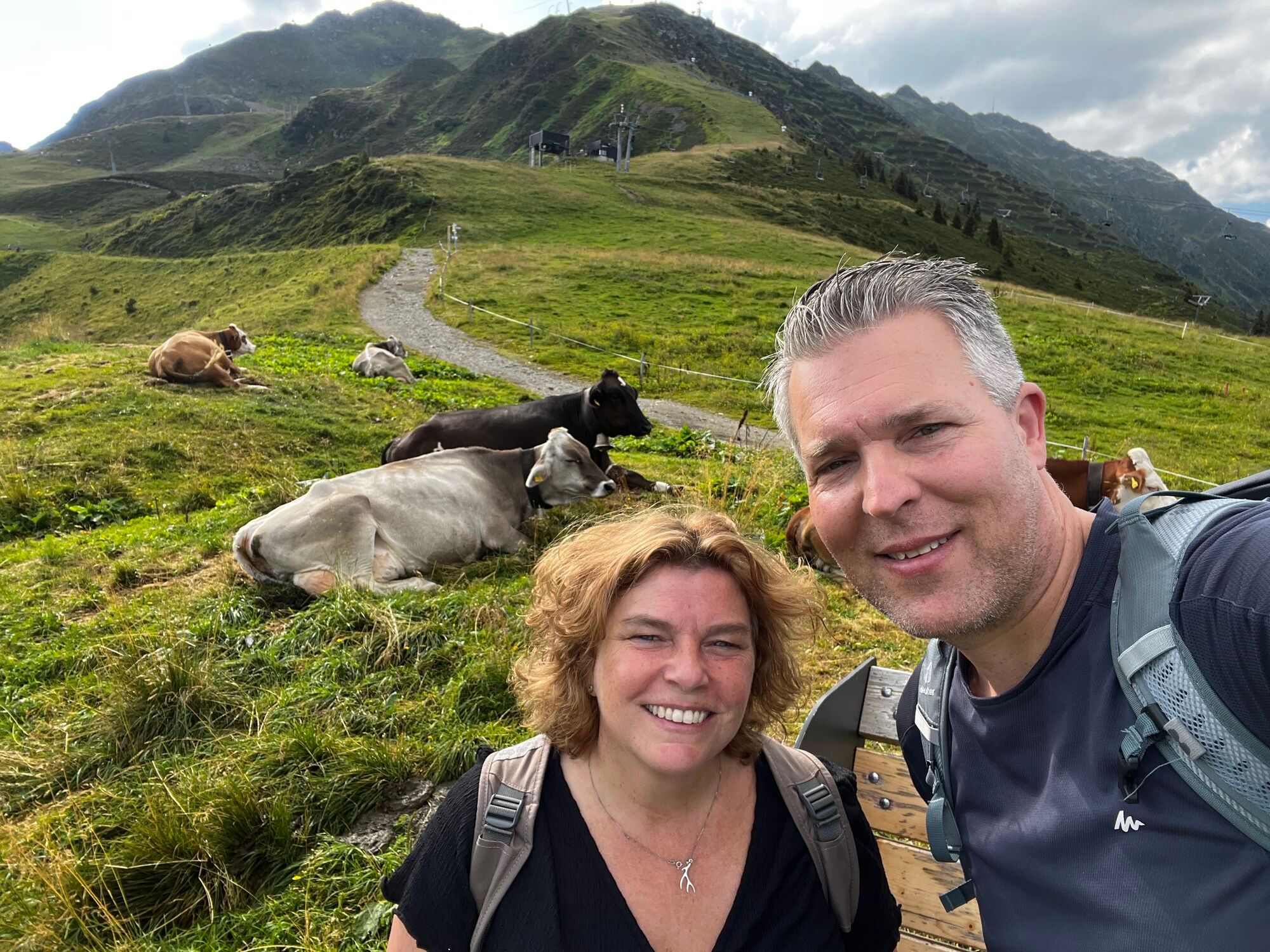
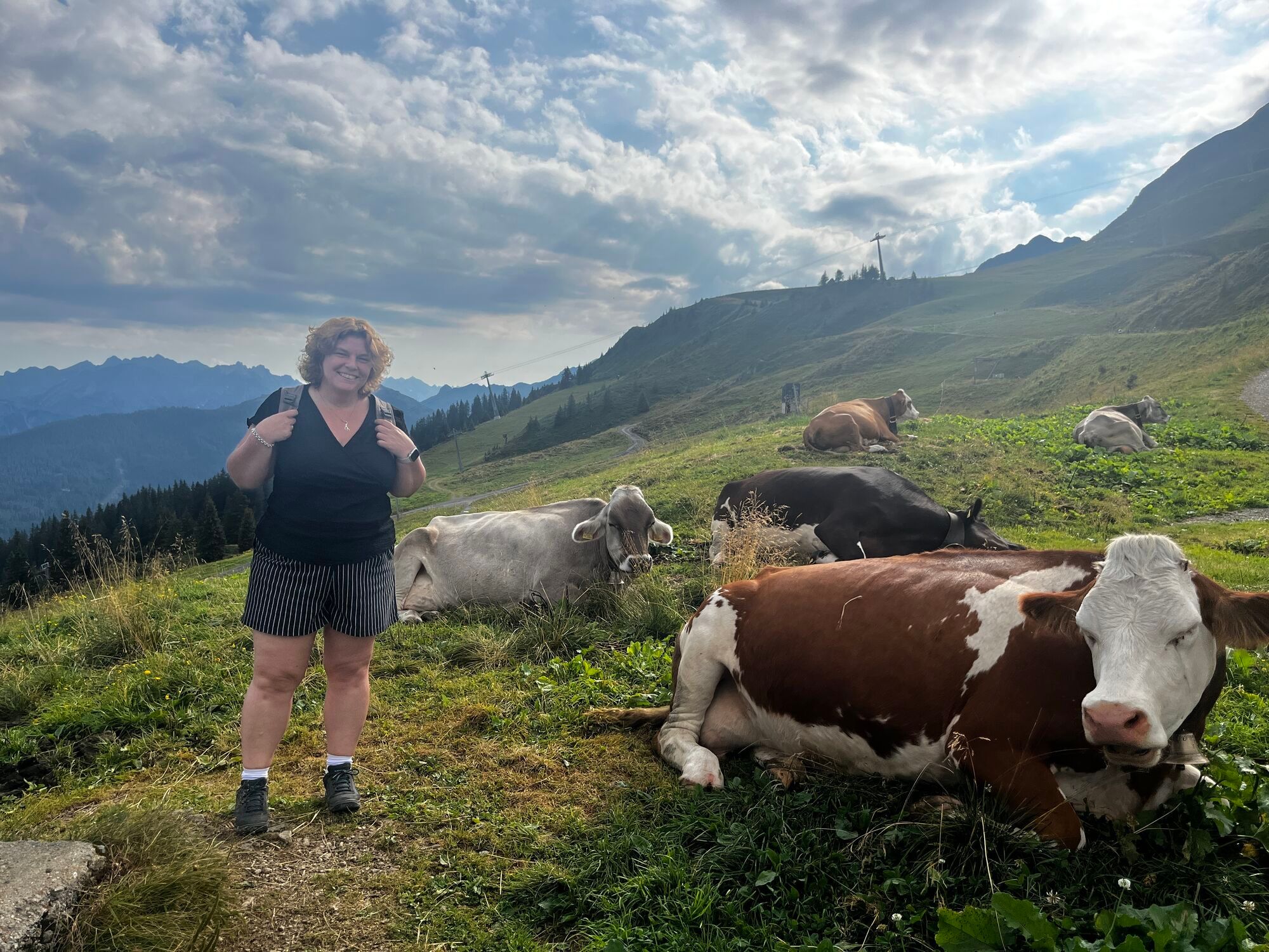
At Schrunser Hausberg, the biker is immediately challenged physically. With gradients of up to 20%, it goes up to Kropfen. Then a forest path leads through beautiful woods that repeatedly offer breathtaking...
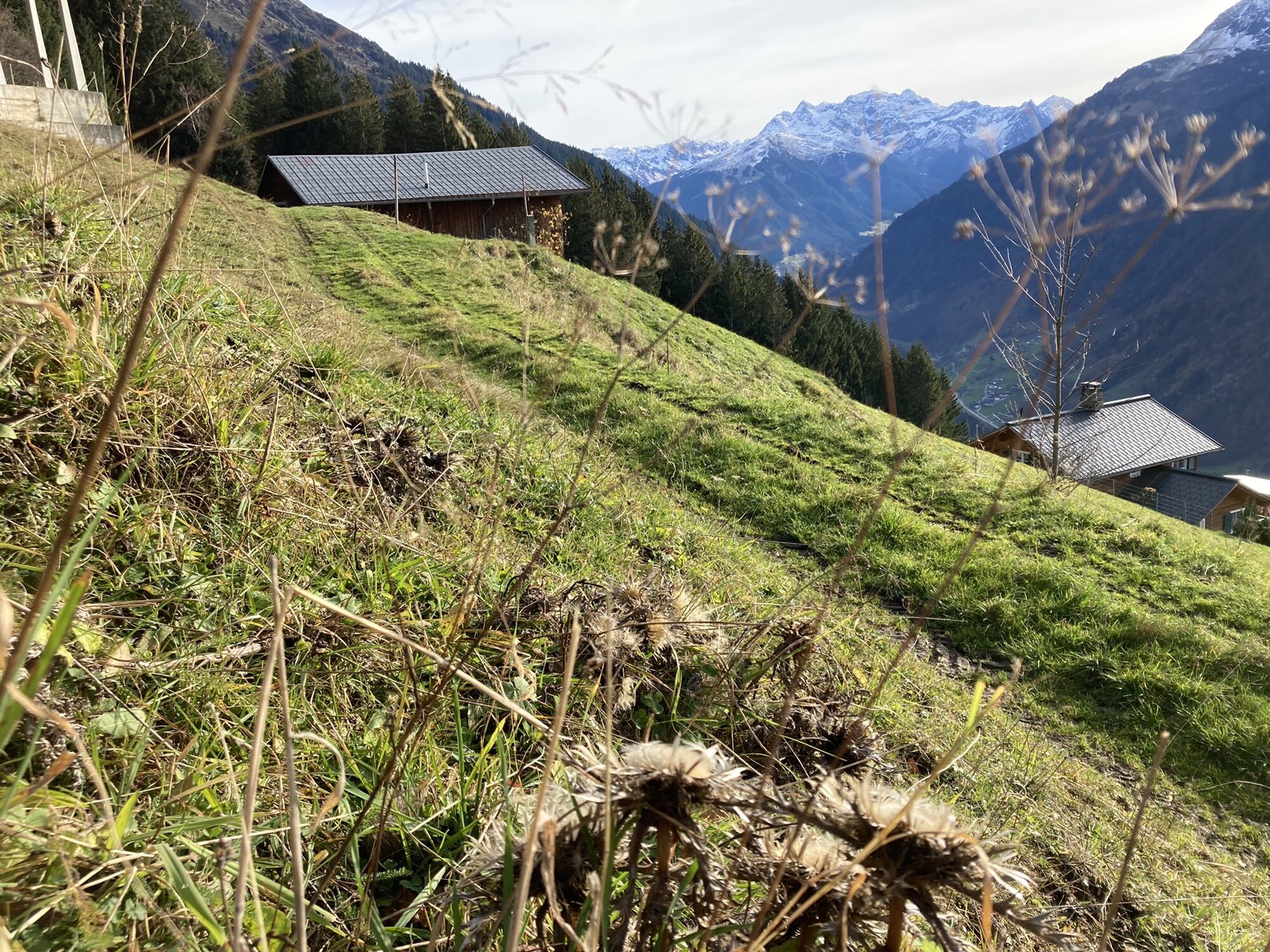
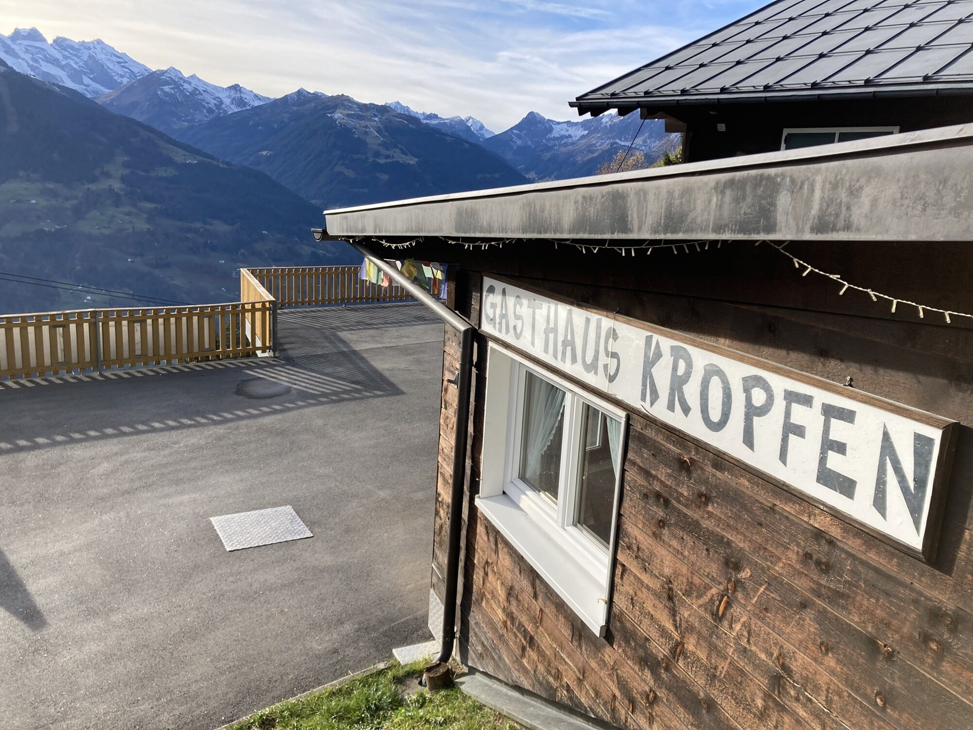
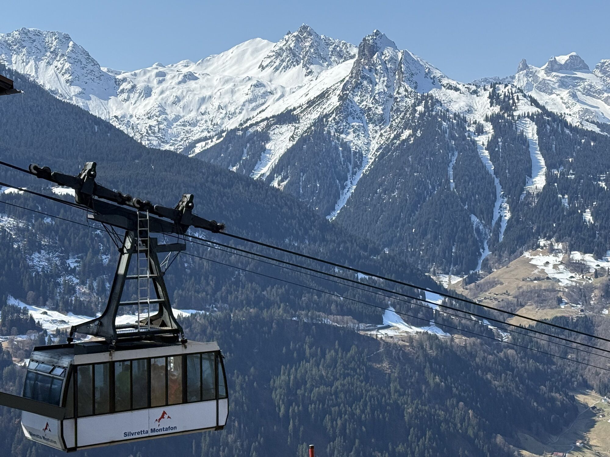
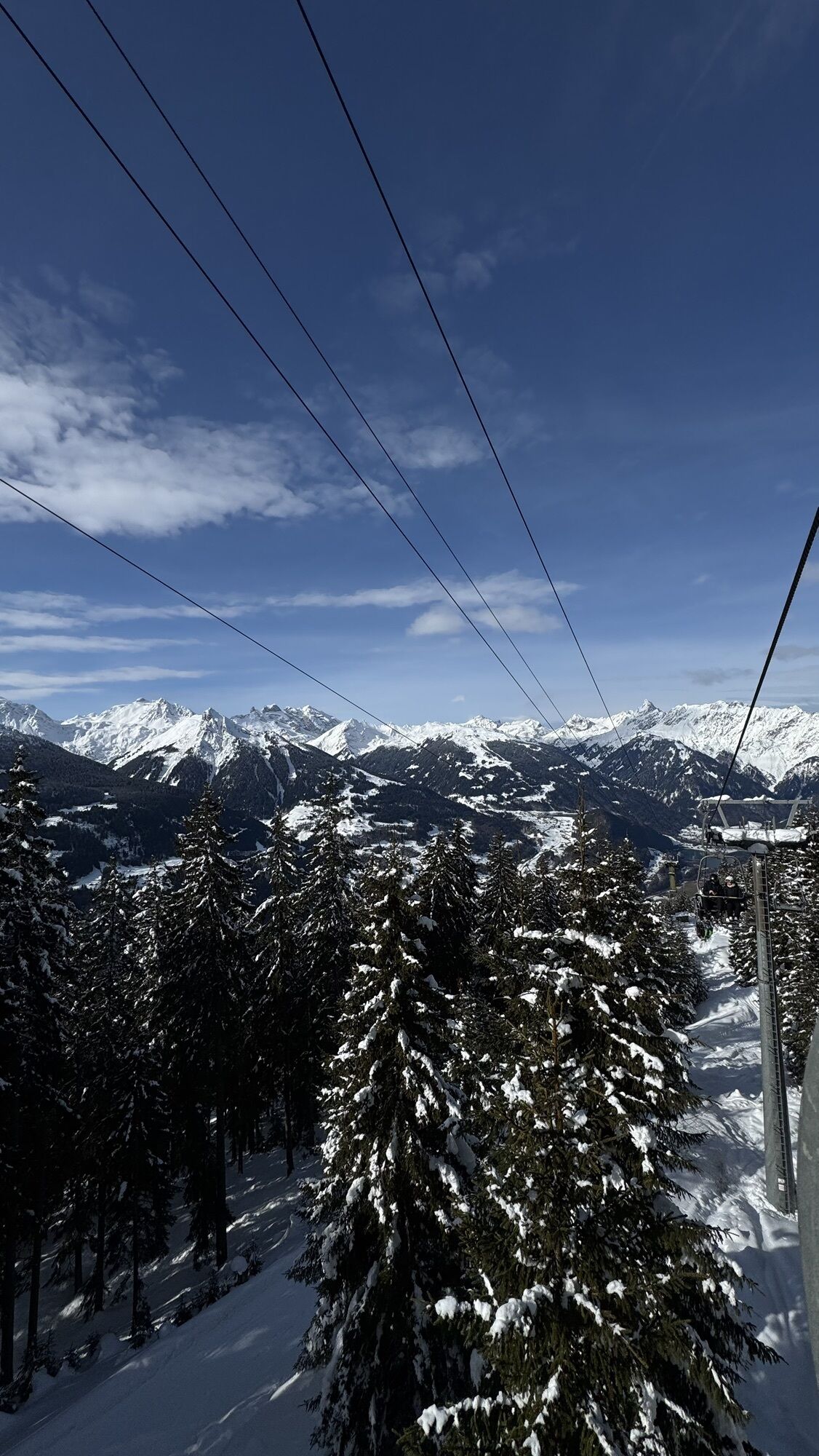
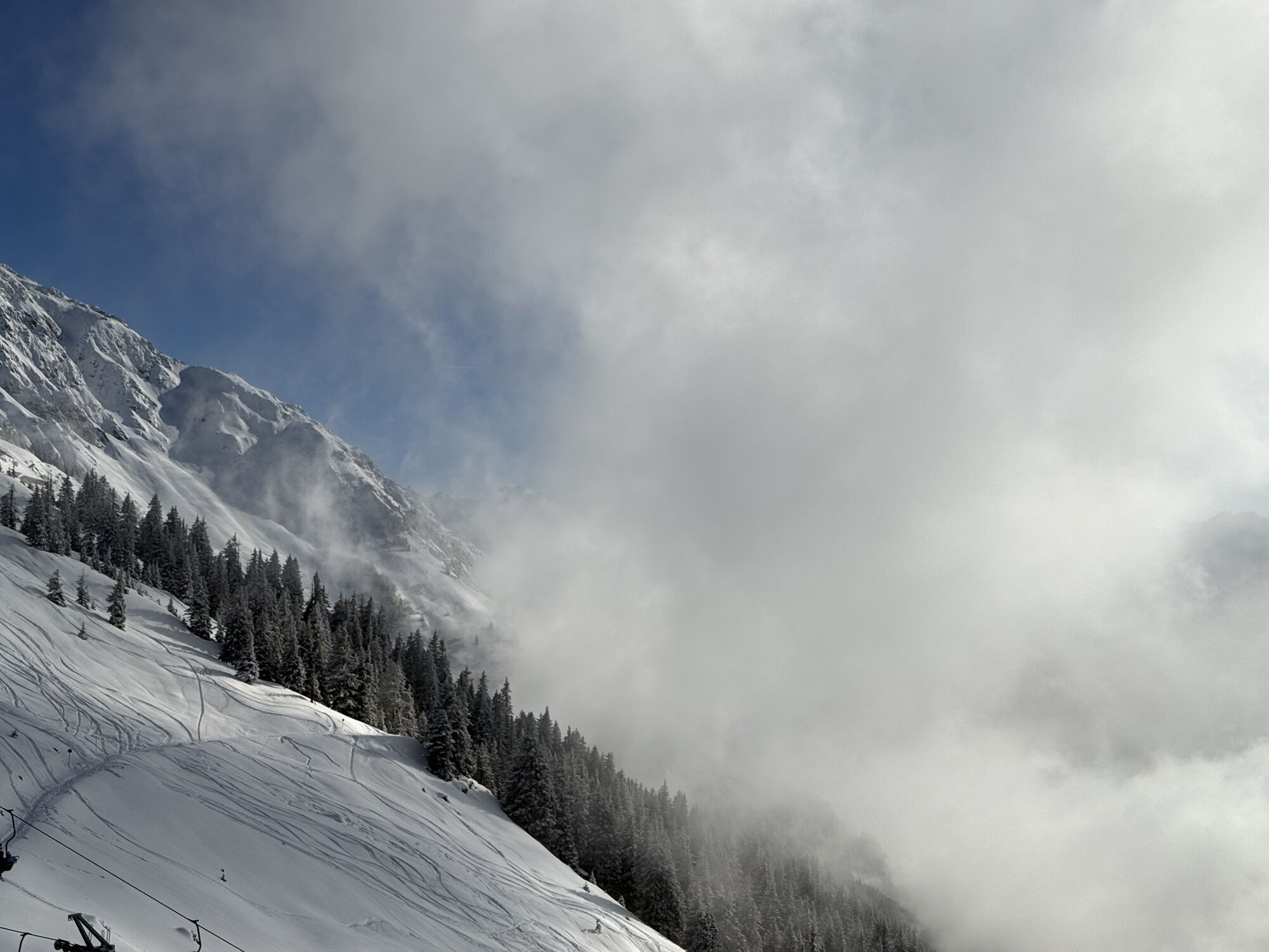
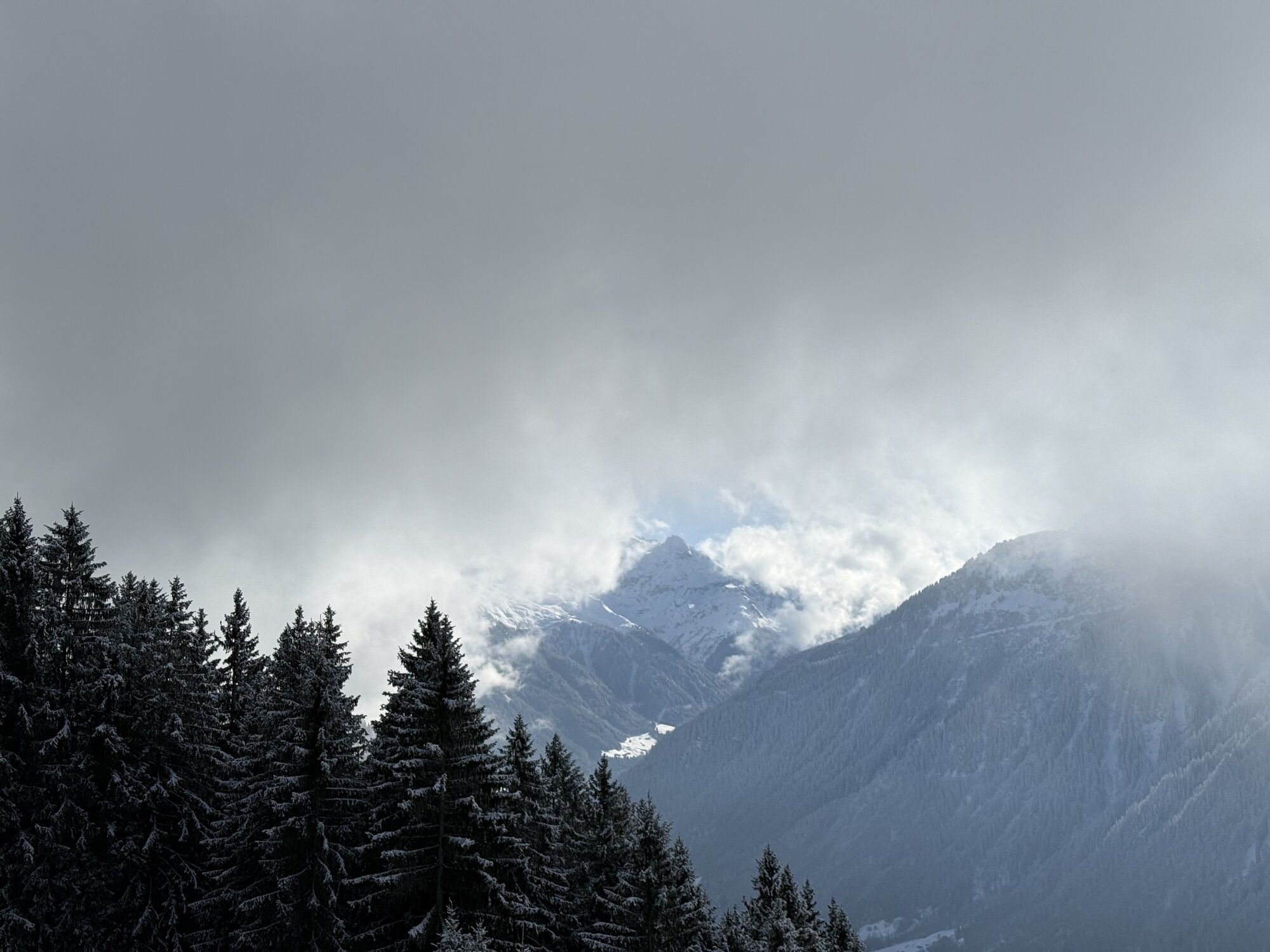
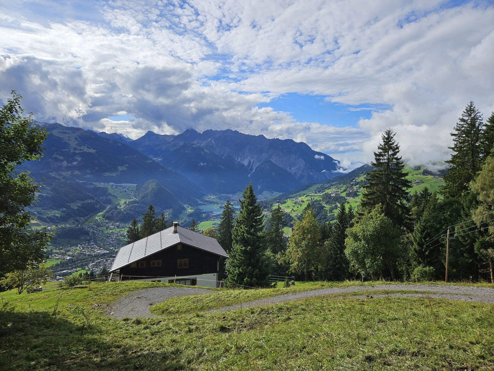
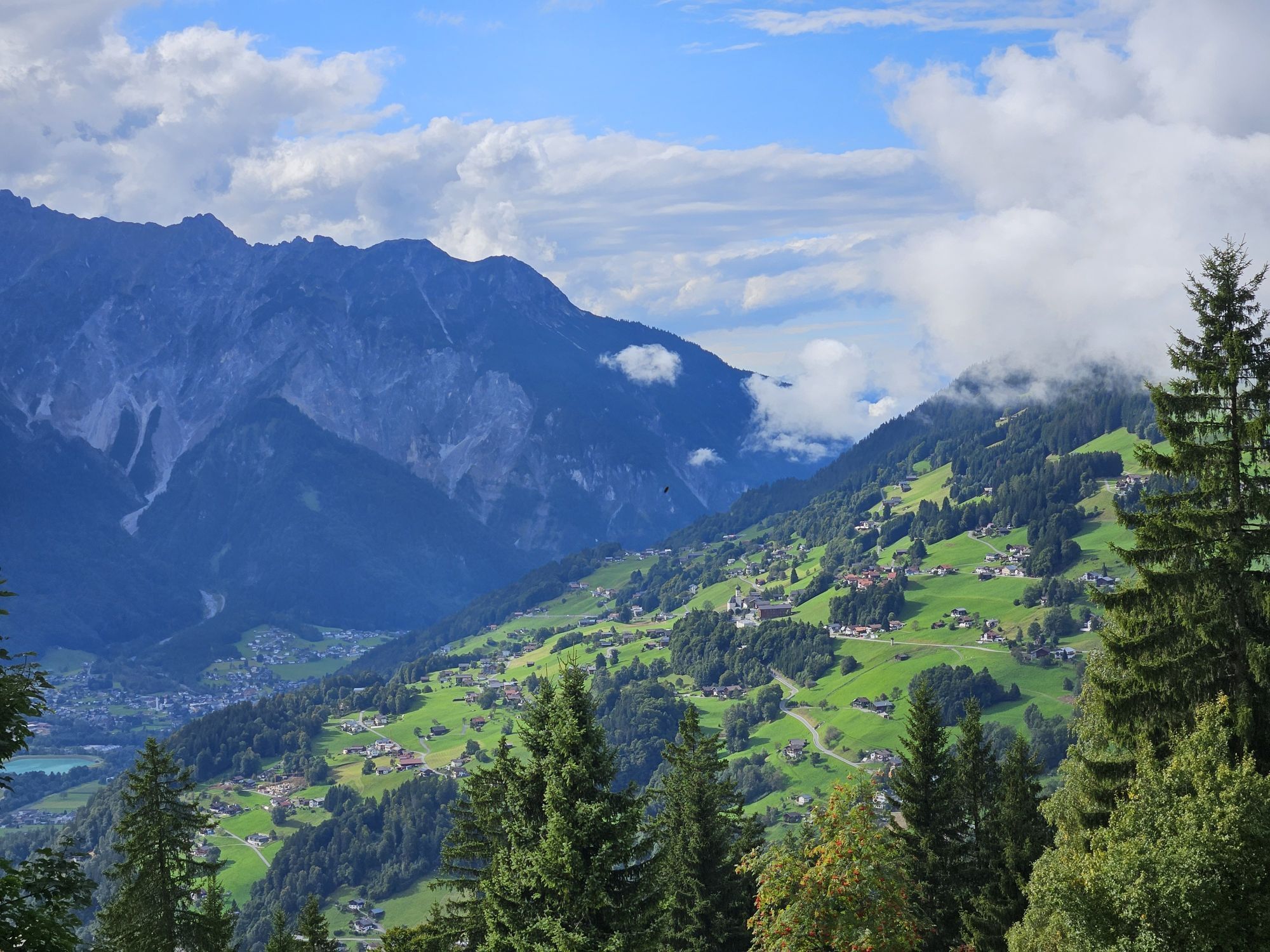
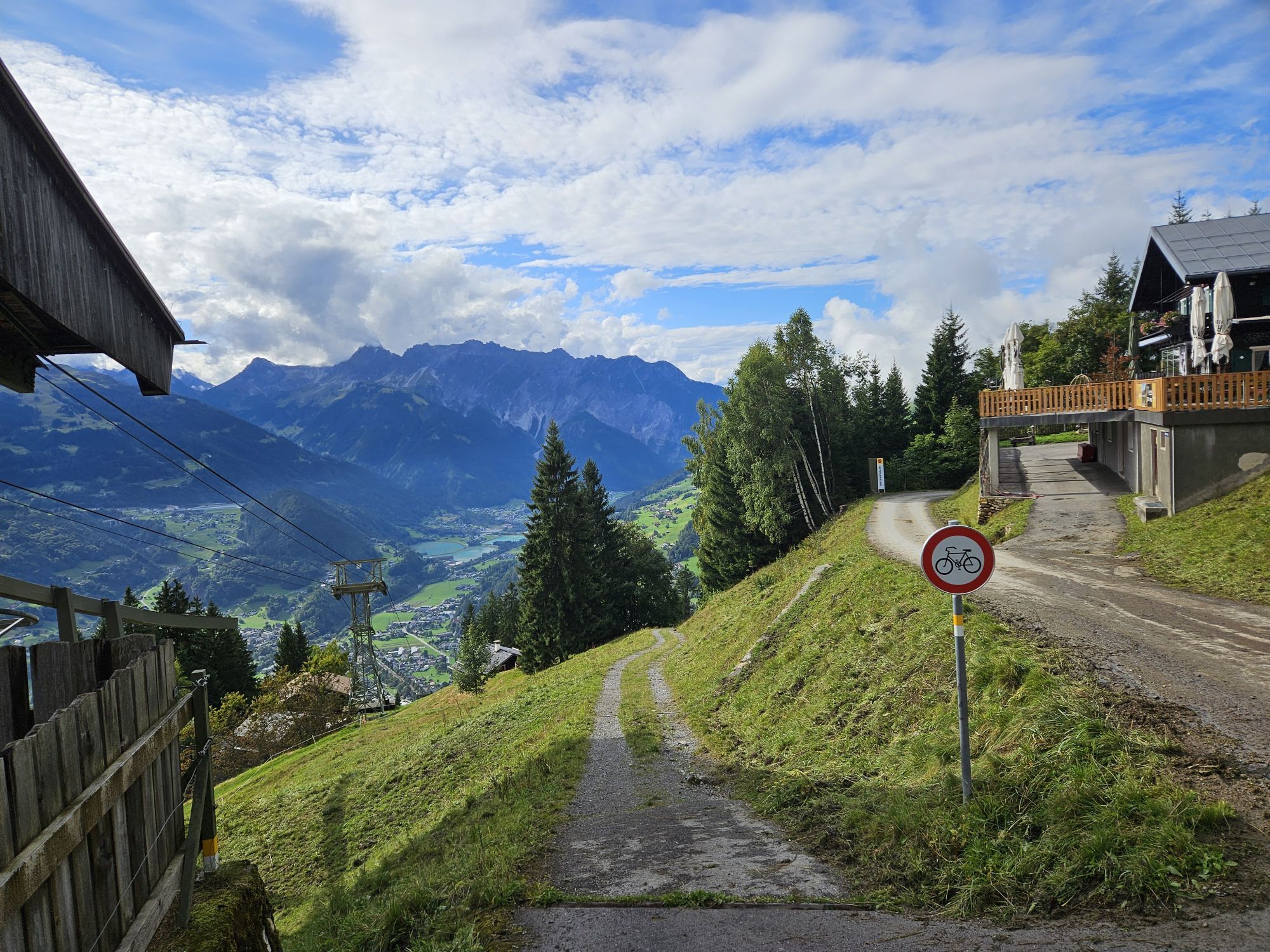
At Schrunser Hausberg, the biker is immediately challenged physically. With gradients of up to 20%, it goes up to Kropfen. Then a forest path leads through beautiful woods that repeatedly offer breathtaking views into the valley and the surrounding mountain world. Families of bikers are awaited at the top station of the Hochjoch Bahn by "Hugo's Colorful Mountain World" and the Kapell restaurant. The Vorderkapellalpe is also operated during the alpine season.

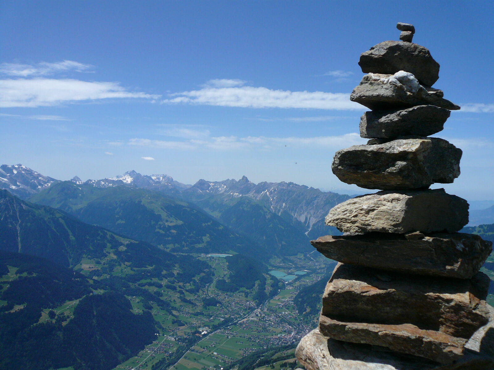
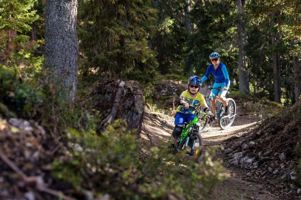
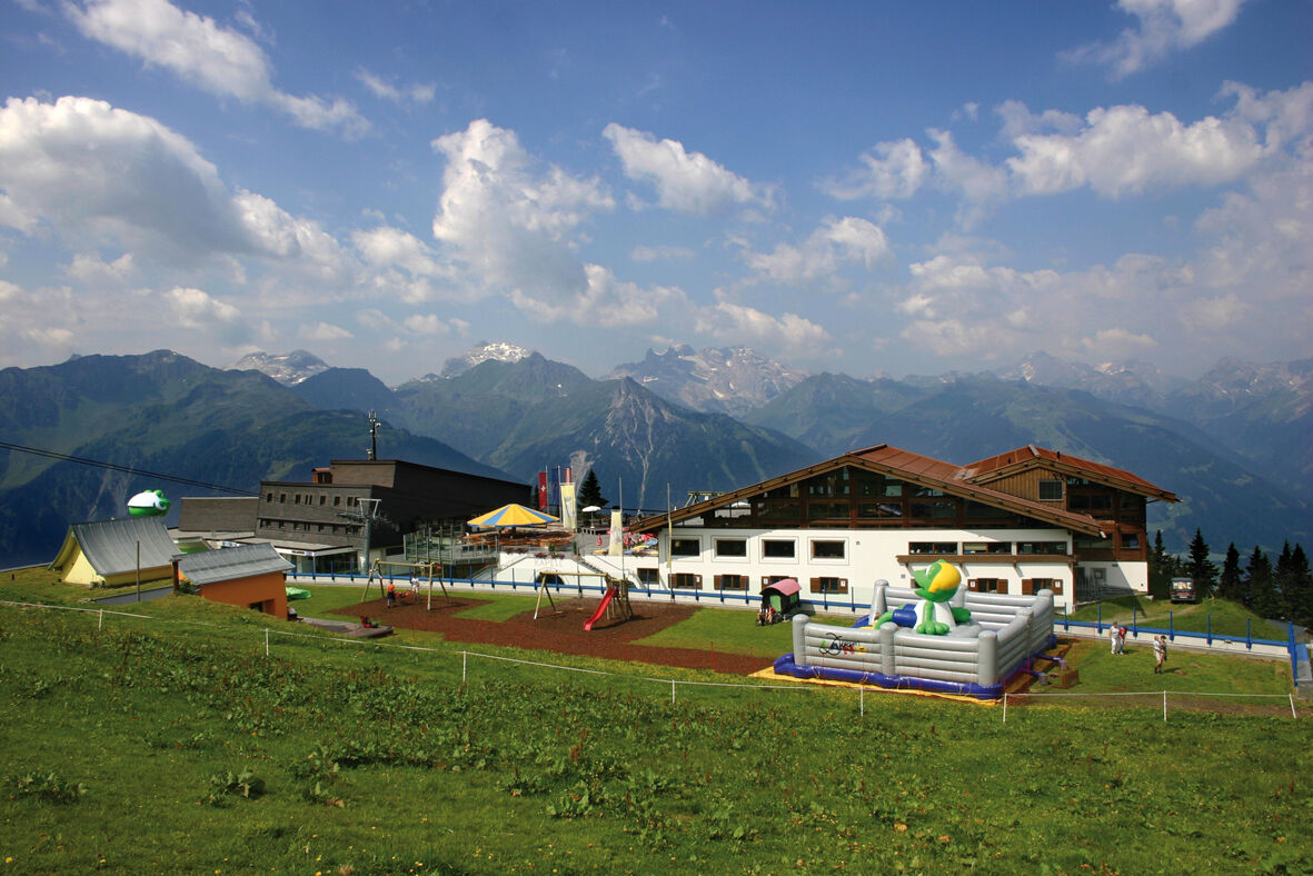

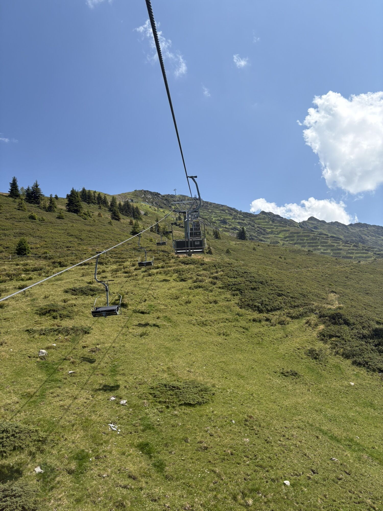
At Schrunser Hausberg, the biker is immediately challenged physically. With gradients of up to 20%, it goes up to Kropfen. Then a forest path leads through beautiful woods that repeatedly offer breathtaking views into the valley and the surrounding mountain world. Families of bikers are awaited at the top station of the Hochjoch Bahn by "Hugo's Colorful Mountain World" and the Kapell restaurant. Those who want to take it easy a bit and avoid the steepest section from Schruns to Kropfen turn right at kilometer 3.5 instead of left, continuing straight on. Another option is to ascend with the Hochjoch Bahn to the mid-station. This shortens the route by 4.8 kilometers and saves 647 meters of elevation.
Ano
Spare battery, charger, bicycle helmet, day cycling backpack (approx. 20 liters) with rain cover, comfortable sports shoes, optionally cycling shoes, weather-appropriate and durable clothing in layers, optionally cycling jersey, optionally cycling gloves, air pump, bicycle tools, sun and rain protection, provisions and drinking water, water bottle and suitable holder, first aid kit, pocket knife, mobile phone, optionally handlebar mobile phone holder, optionally headlamp and reflectors, maps
EMERGENCY CALL: 144
112 European emergency call (works with any mobile phone/network)
www.vorarlberg.travel/sicherheitstipps
Take the A14 to the Bludenz/Montafon exit and continue on Montafonerstraße L188 to Schruns. Federal road L188 takes you directly to Aktivpark Montafon, which is located on the right side of the road.
Just leave your car behind.
Arrival by train to Montafon
From Bludenz station, the Montafonerbahn runs hourly (sometimes every half hour). There are also direct connections from Lindau (D) and Bregenz.
Timetable: www.oebb.at
Aktivpark Montafon in Schruns-Tschagguns
The descent from Kropfen can be made even more exciting and varied by the flow trails.


Webové kamery z prohlídky
-
Hochjoch Bahn Bergstation
-
Montafoner Kristbergbahn Bergstation
-
Panoramagasthof Kristberg
-
Panoramagasthof Kristberg
-
Kristberglift mit St. Agatha Kirche
-
Kinderland Skischule Silbertal
-
Matschwitz Mittelstation
-
Bergstation Hochalpila Bahn
-
Silbertal Dorf
-
Innerberg
-
Golm - Matschwitz
-
Silvretta-Montafon - Panorama Bahn
-
Bartholomäberg
-
Bartholomäberg
-
Tschagguns
-
Schruns
-
Bartholomäberg - Ferienhotel Fernblick
-
Wormserhütte
-
Wormserhütte
-
Kapellbahn
-
Schlepplift Innerbach
-
Bartholomäberg
-
Bartholomäberg - Ferienhotel Fernblick
-
Bartholomäberg - Ferienhotel Fernblick
-
Bartholomäberg - Ferienhotel Fernblick


Oblíbené prohlídky v okolí
-
5.0
Ski tour to the Lindauer Hut (1,744 m)
světloLyžařská trasa 14.0 km -
4.7
Kristberg - Wasserstubental - Silbertal
světloTuristika 13.8 km -
4.7
Smuggler’s path
středníTematická stezka 8.60 km -
4.5
Golmer Lakes Trail
středníTematická stezka 7.28 km -
4.6
Over the historic mine and Fritzensee to Rellseck
středníTuristika 7.25 km -
4.6
Madrisella summit path
středníTematická stezka 10.8 km -
4.3
Golmerbahn Bergstaion Grüneck - Golmer Höhenweg - Geißspitze - Lindauer Hütte - Latschau
středníTuristika 11.5 km -
4.8
Madrisella via ferrata
heavyVia ferrata 8.52 km -
4.9
Alpgues Runde
středníTuristika 9.21 km -
5.0
Wiegensee-Kopssee
středníTuristika 8.17 km

Pěší turistika a stopování


Nenechte si ujít nabídky a inspiraci pro vaši příští dovolenou
Vaše e-mailová adresa byl přidán do poštovního seznamu.





