


Bike & Hike Langsee
Úroveň obtížnosti: 4
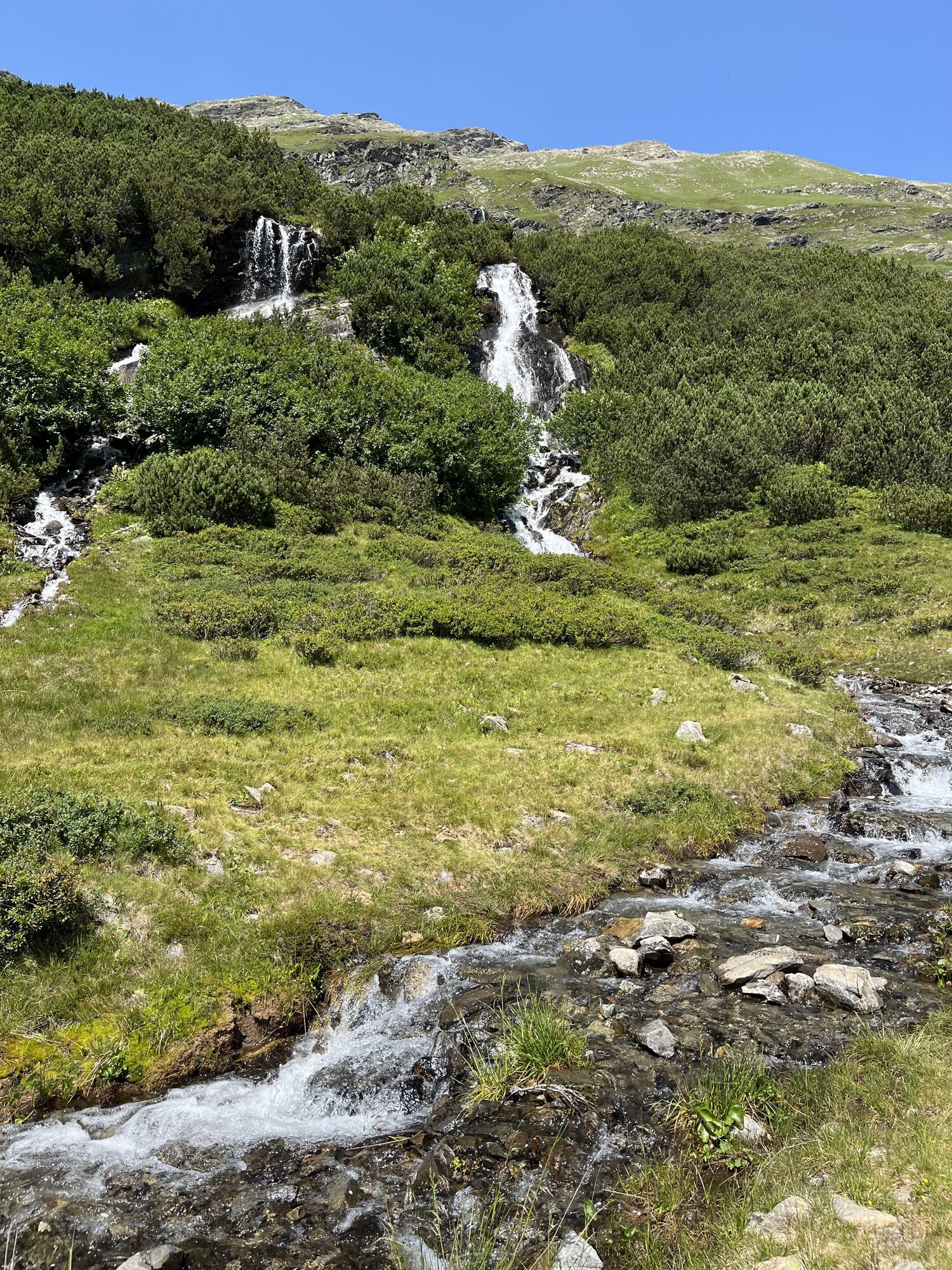


Explore the unique Verwall European protected area with the e-mountain bike and experience the beauty of this protected natural space. To ensure the Verwall protected area remains a refuge for animals...
Explore the unique Verwall European protected area with the e-mountain bike and experience the beauty of this protected natural space. To ensure the Verwall protected area remains a refuge for animals and plants, your respectful behavior is required:
Observe path regulations: Stay on the marked trails.
Show consideration: Protect nature, hikers, and animals.
Leave no trace: Take your rubbish with you.
Together we preserve nature and create unforgettable experiences – today and for the future.
Important information: The route may only be used between June 15 and September 15 from 07:00 to 20:00.
https://respektiere-deine-grenzen.at/in-der-natur/schutzgebiete/verwall/

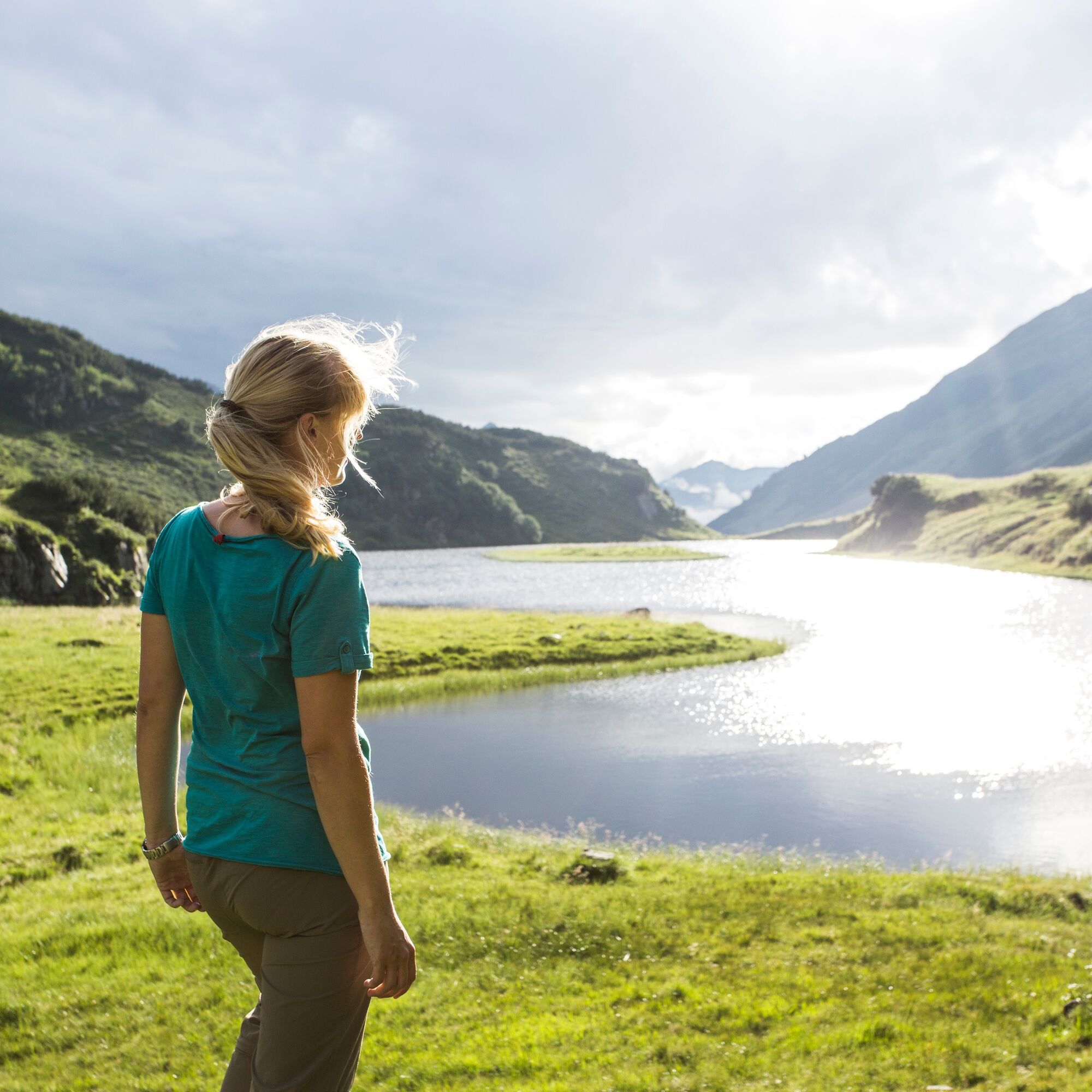
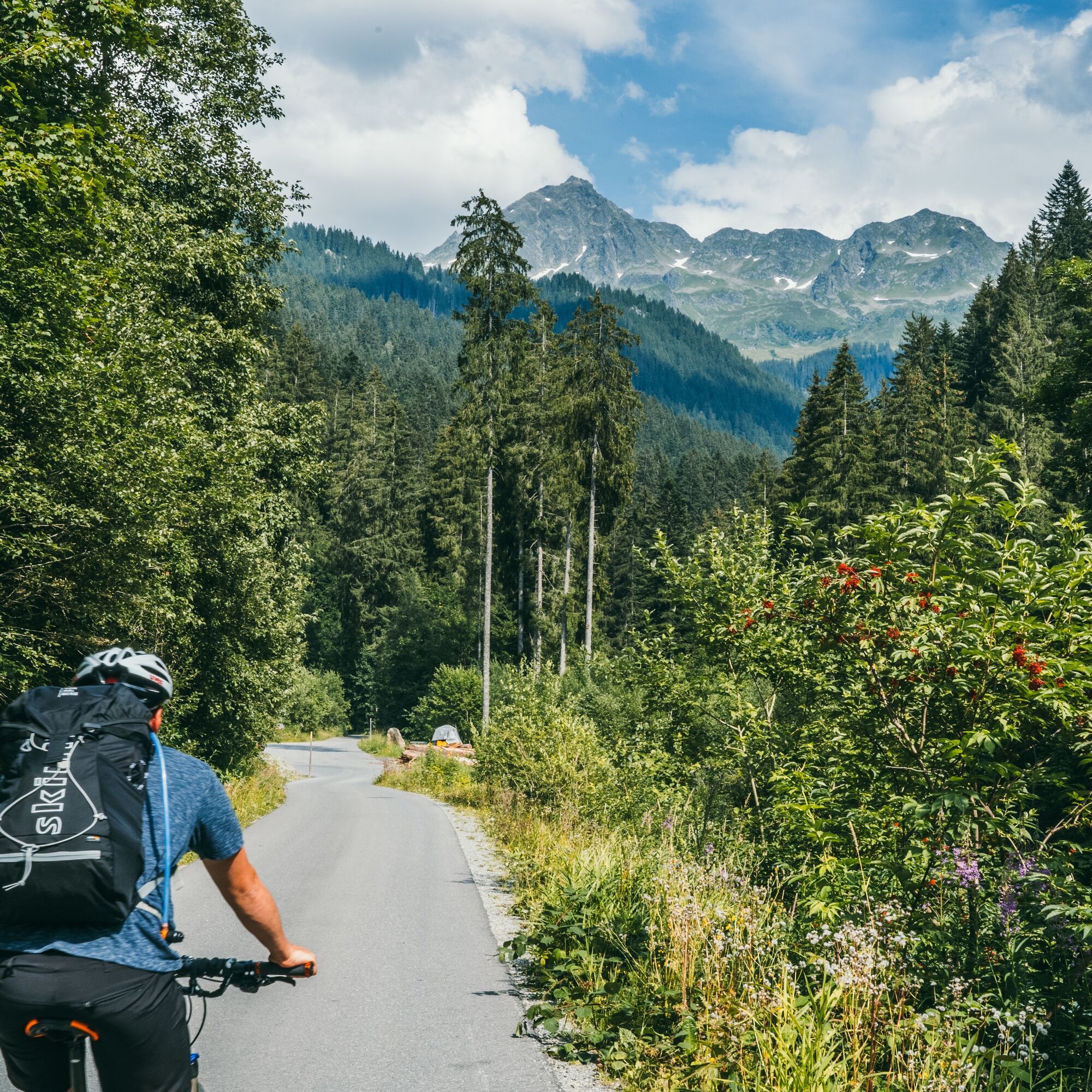
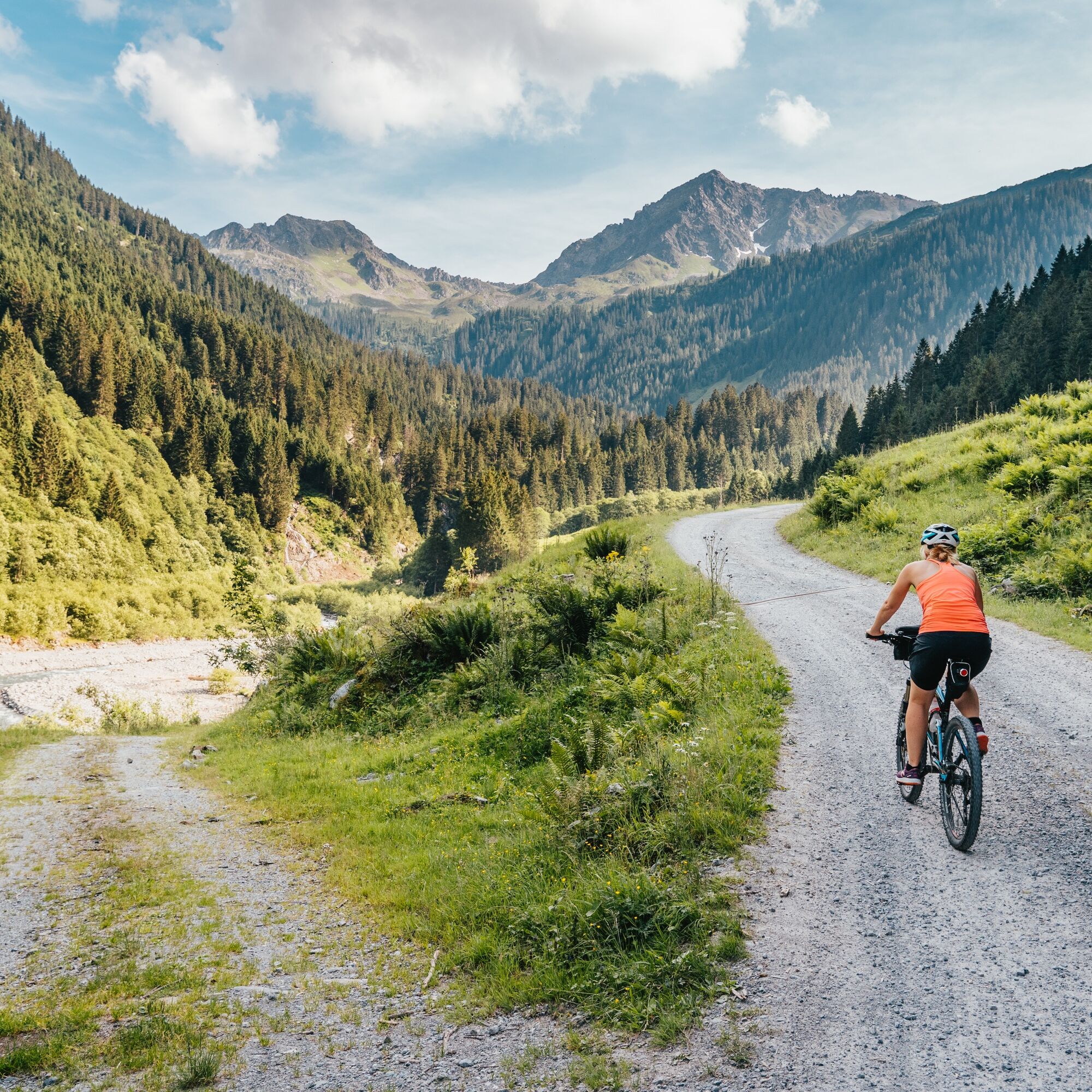
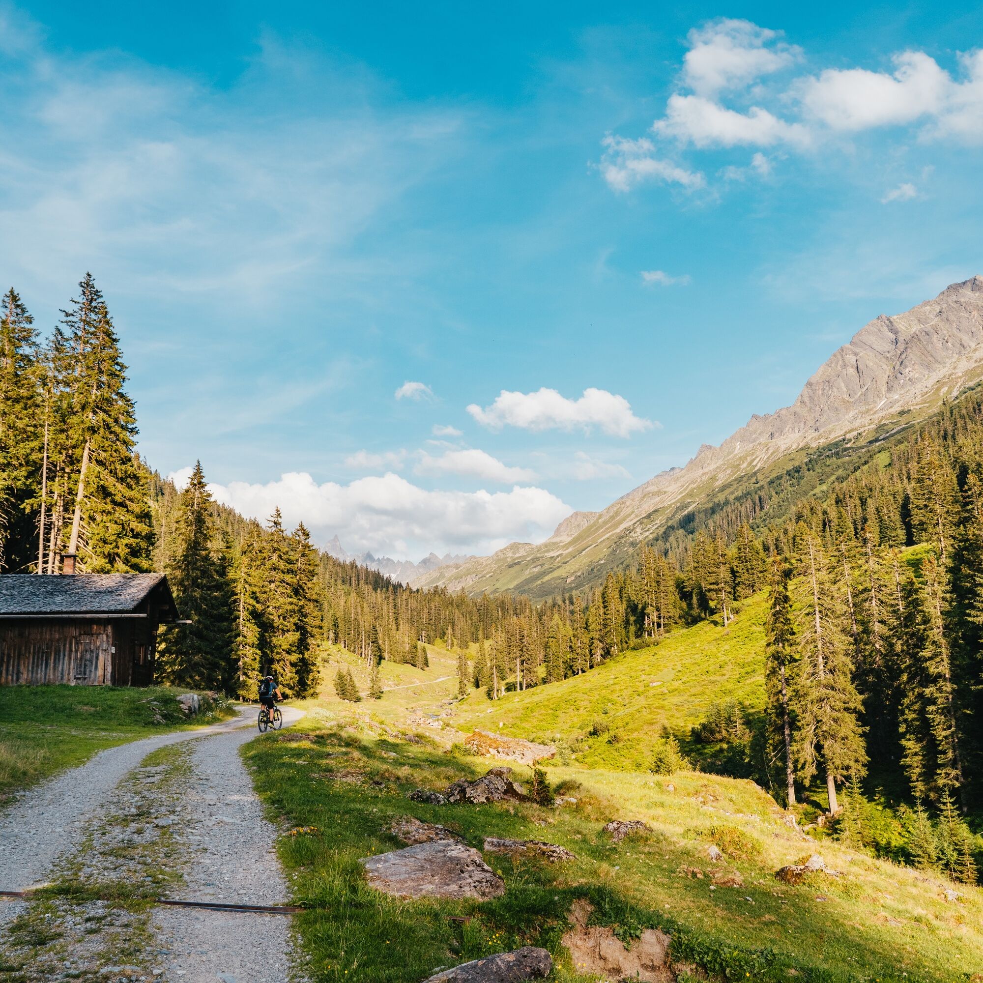
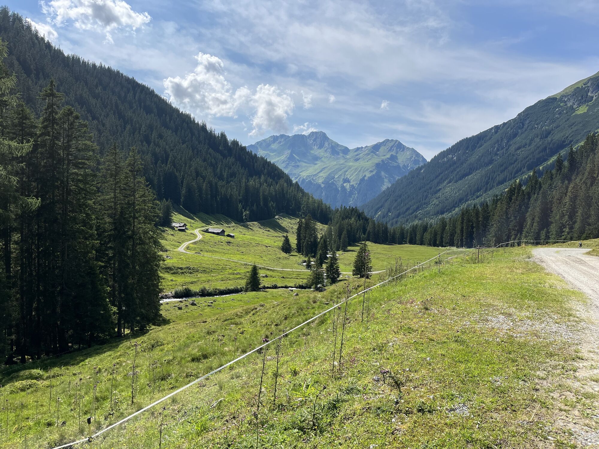
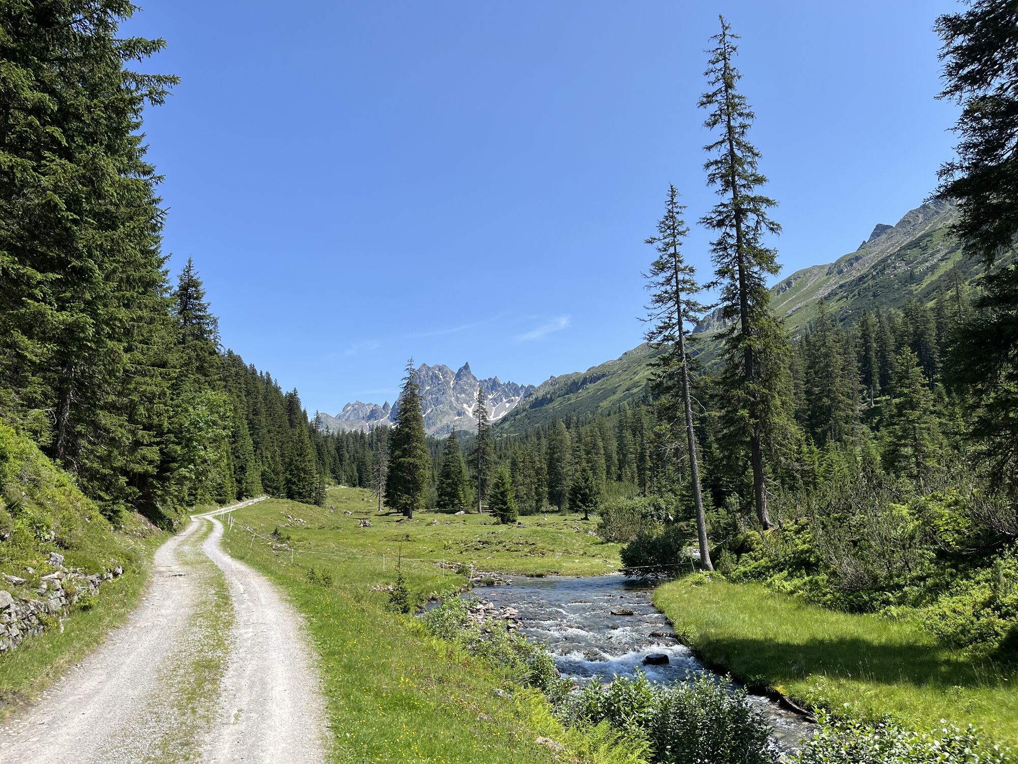
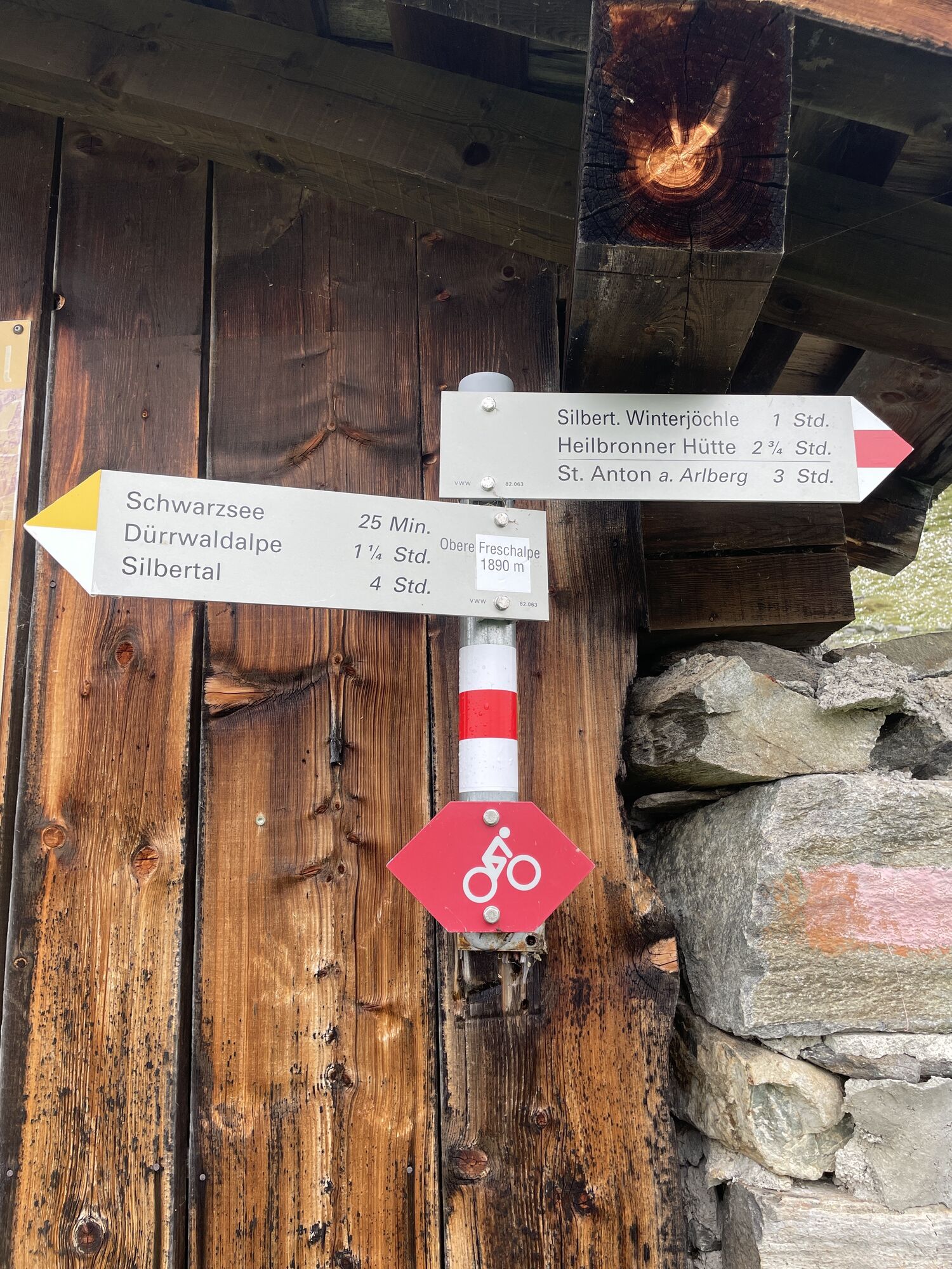
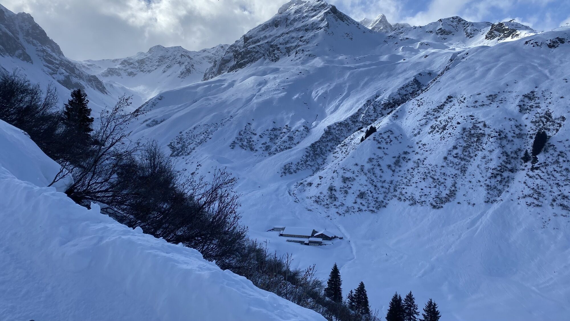
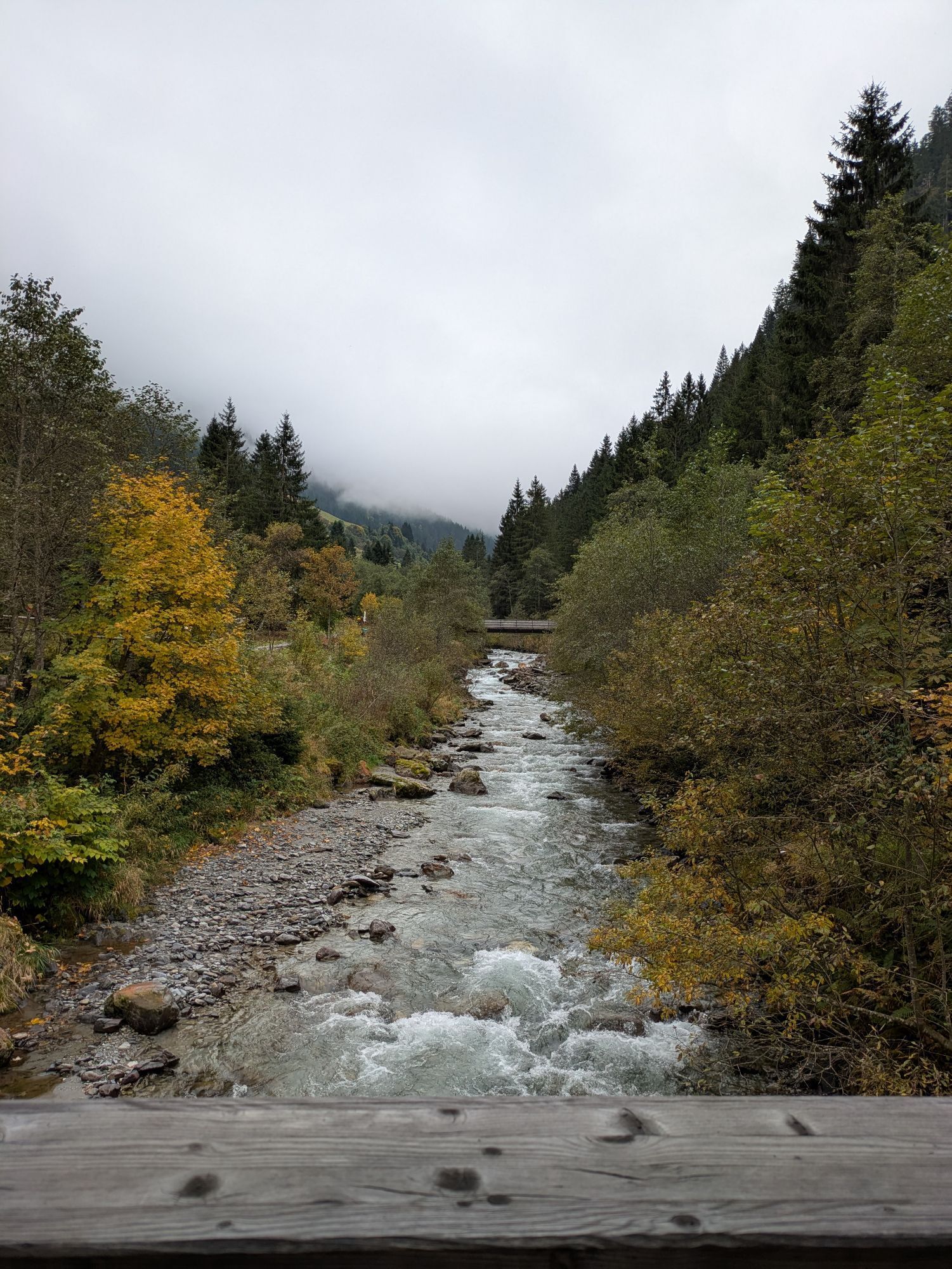
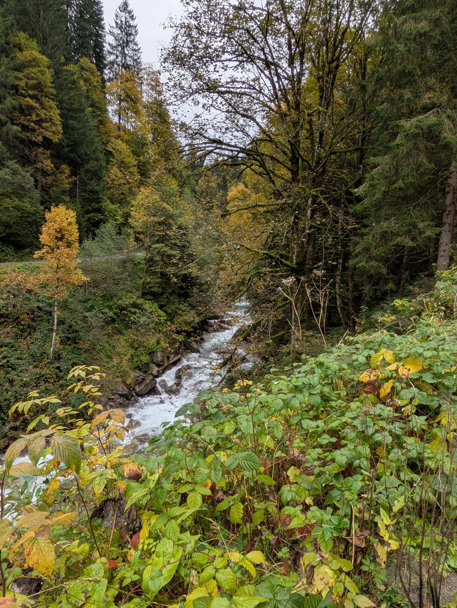
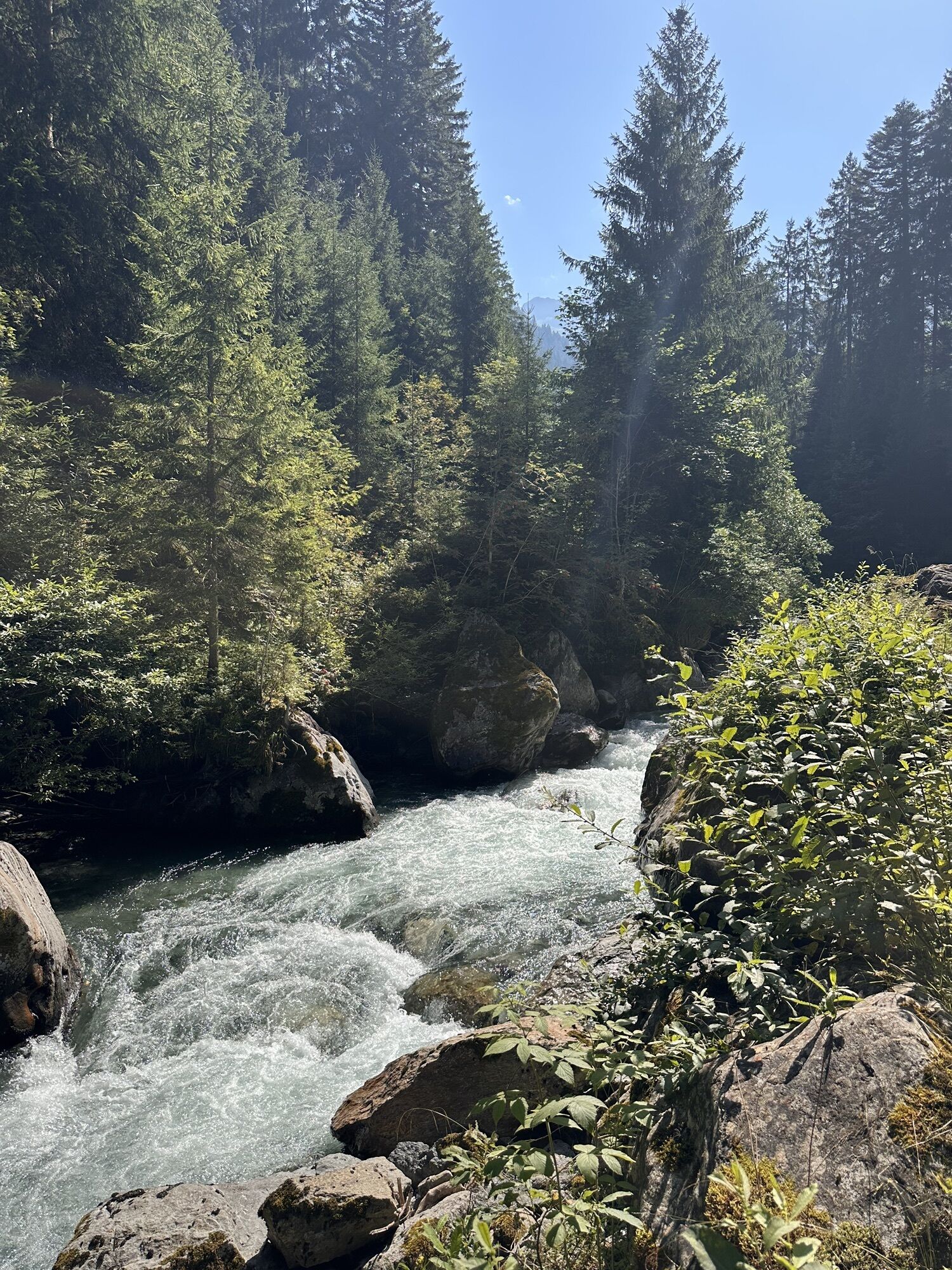
From Schruns you ride on the main road to Silbertal. At the end of the village (at the rock parking lot) stay left of the torrent and ride on the farm road to the Fellimännle alpine hut (you cross the torrent halfway).
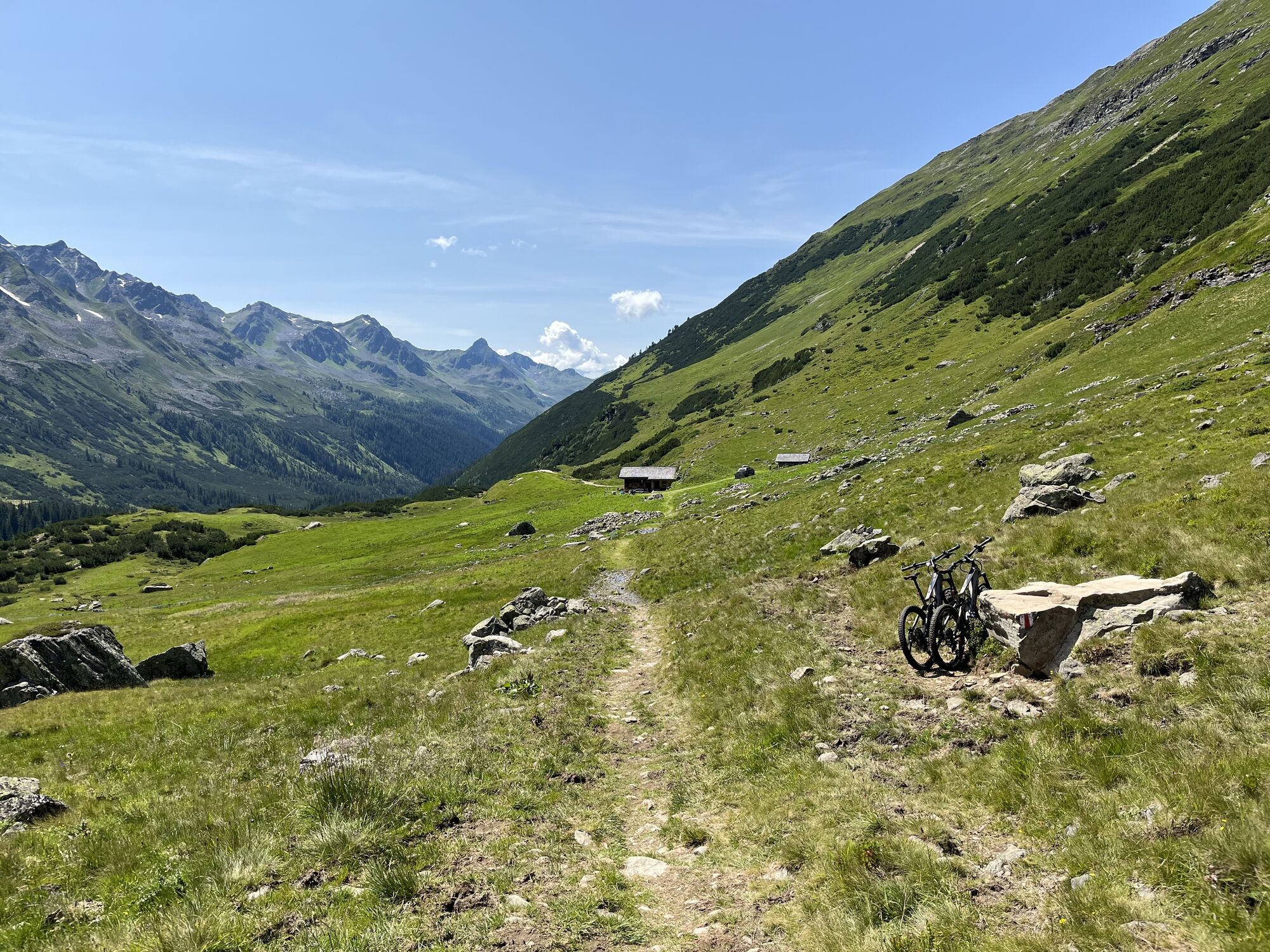
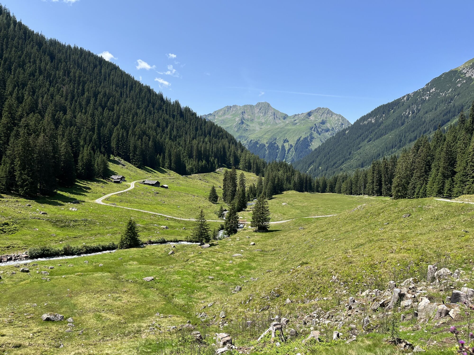
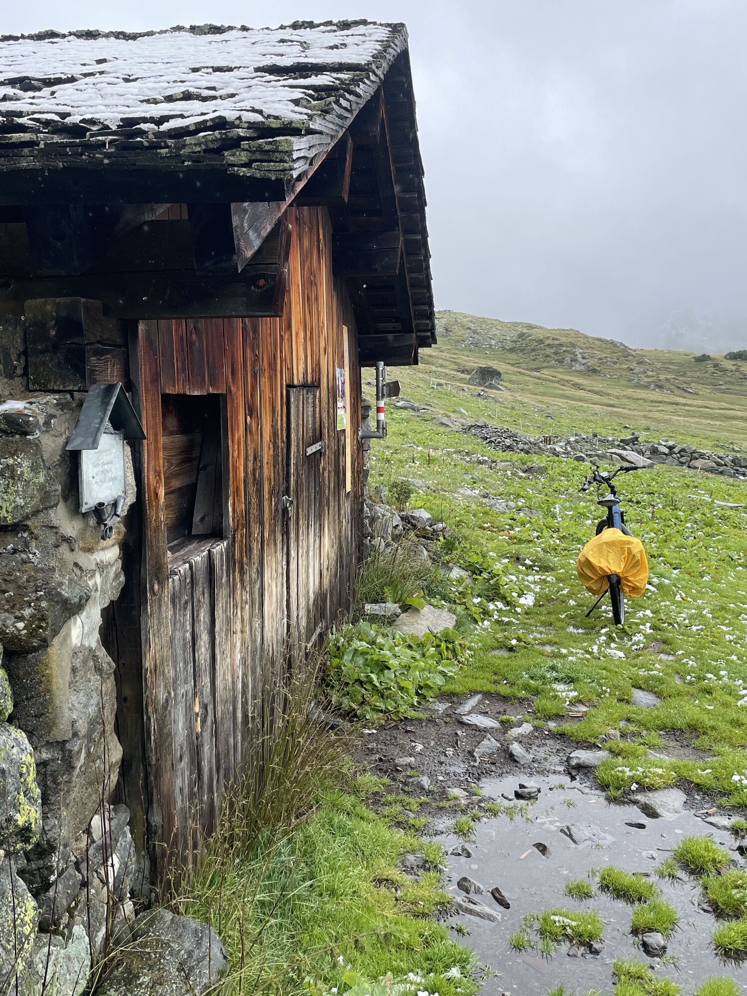
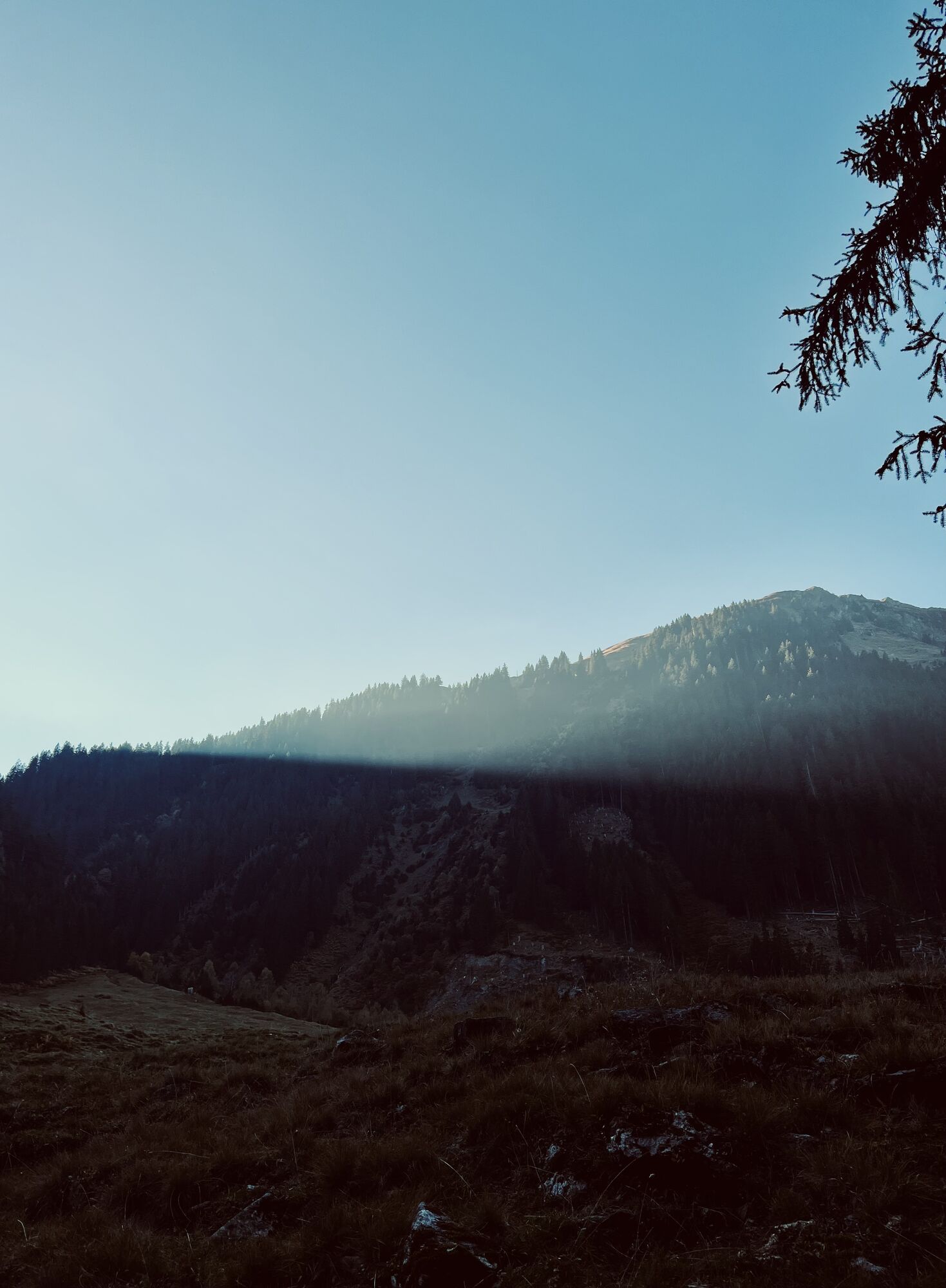
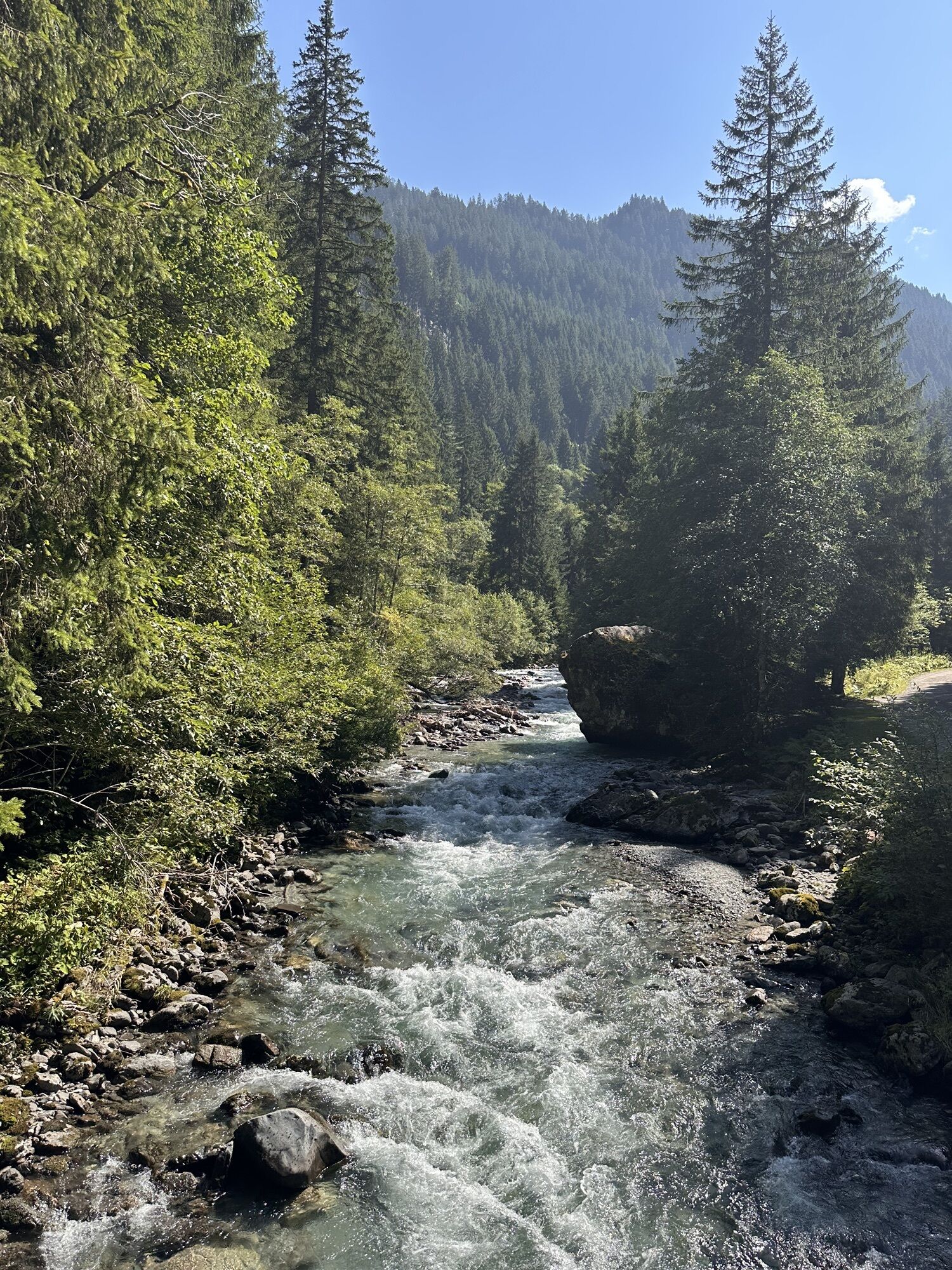
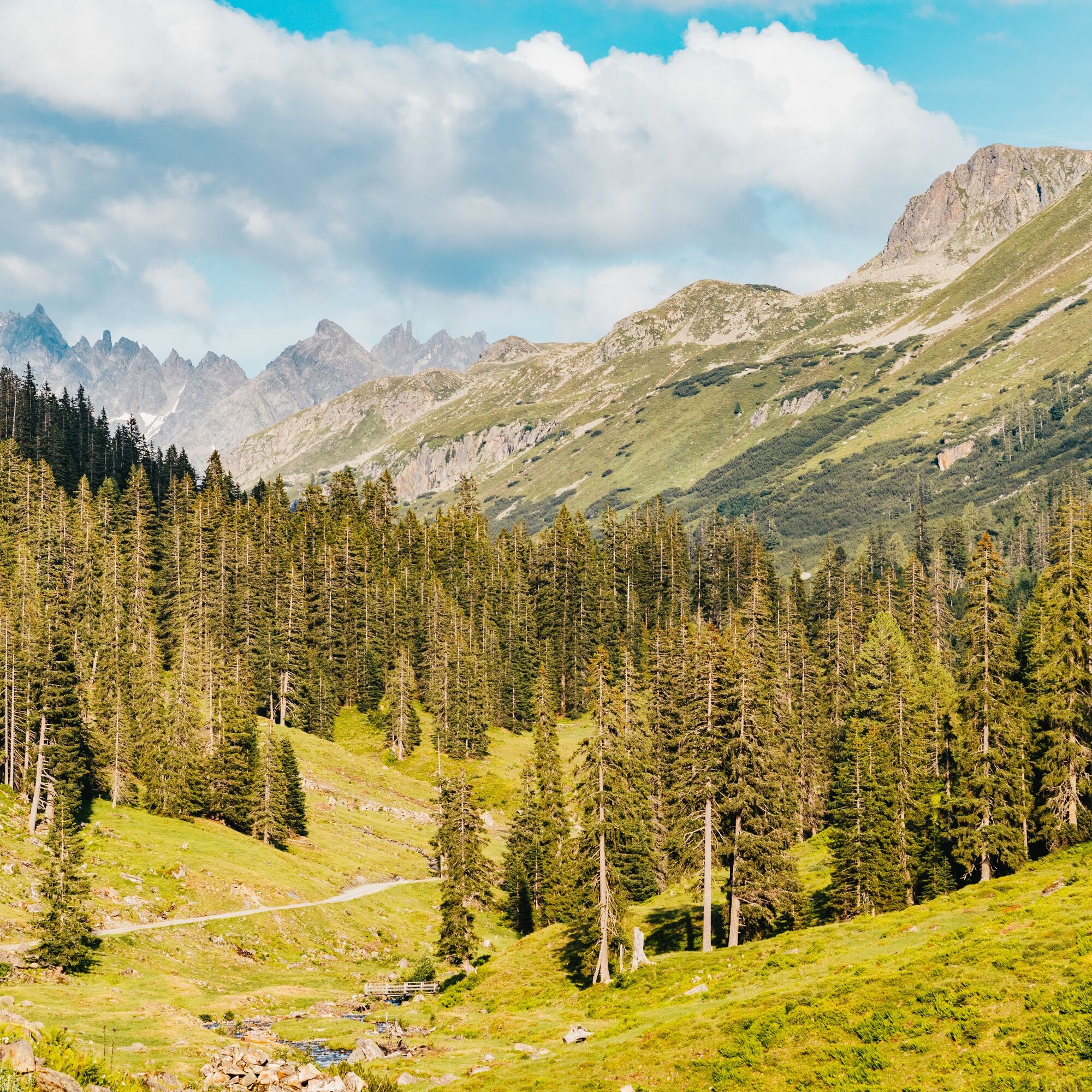
Shortly after, the farm road forks. Stay right here and ride to the lower Gaflunaalpe (last possible stop!). The tour continues on the farm road past Schwarzsee to the upper Freschalpe.
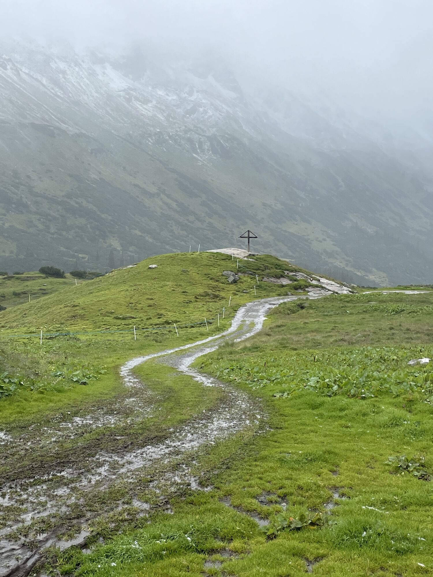
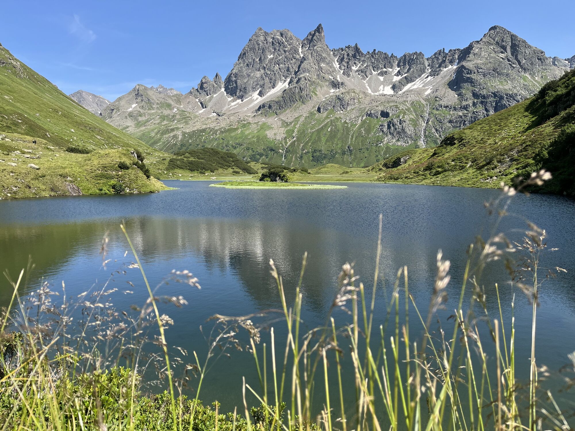
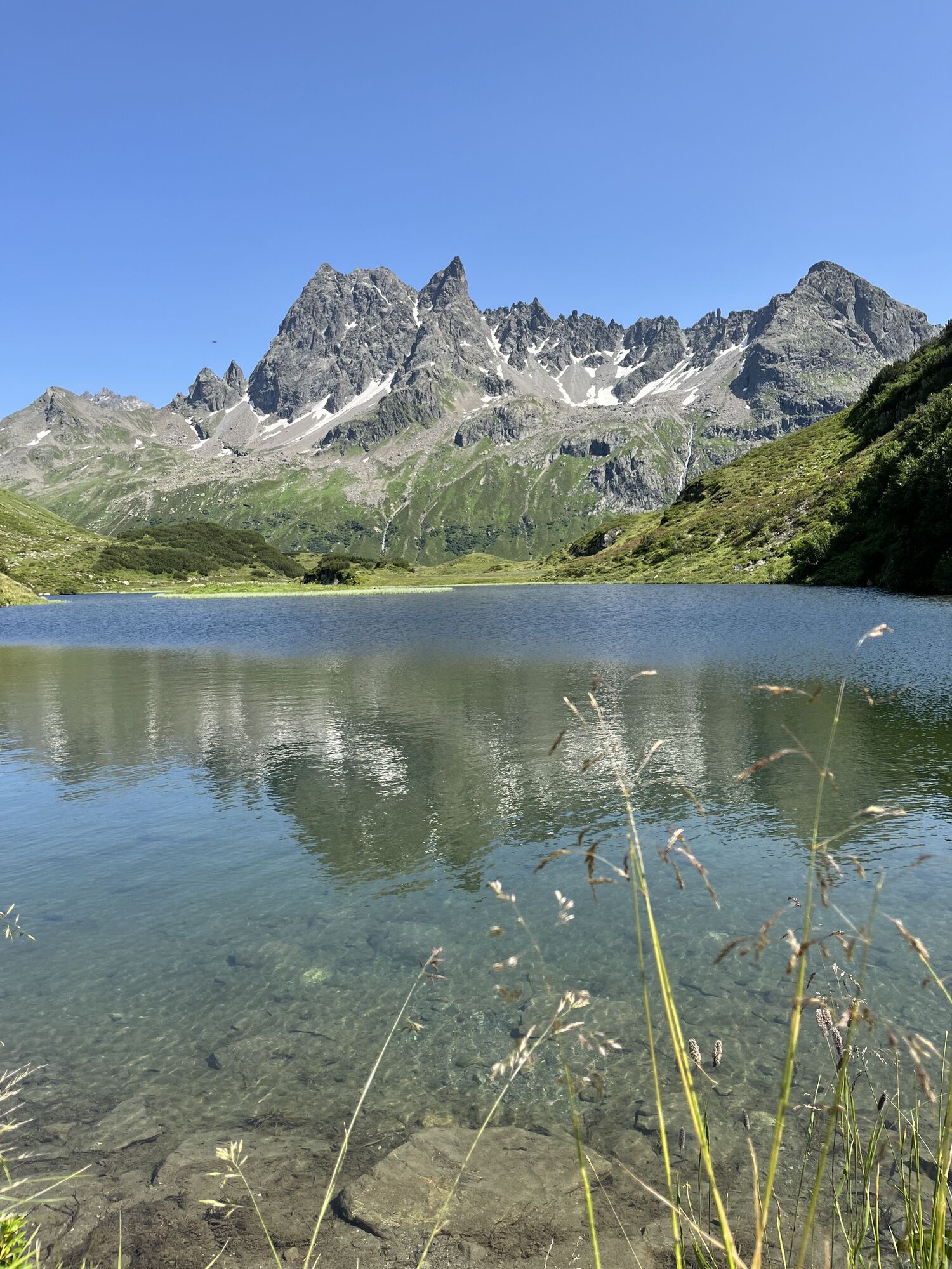
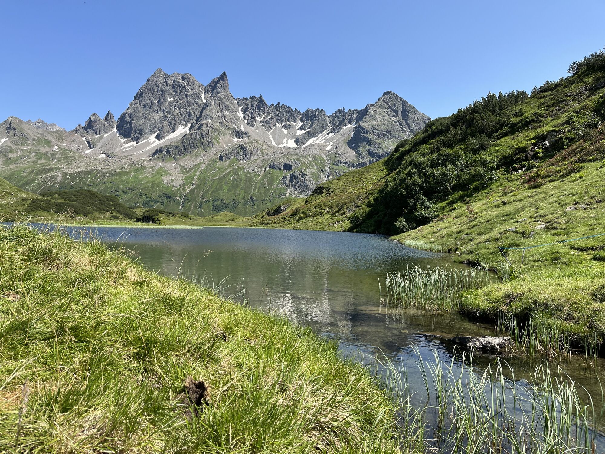
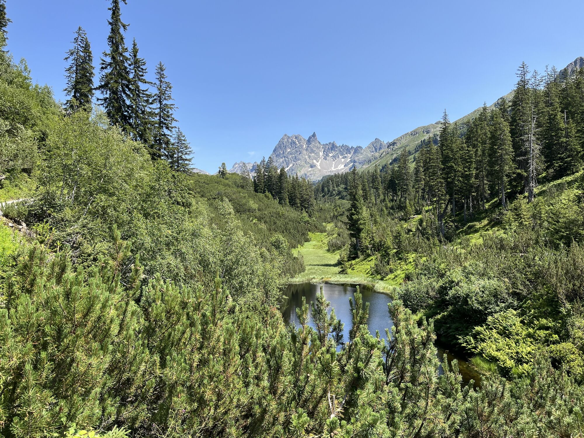
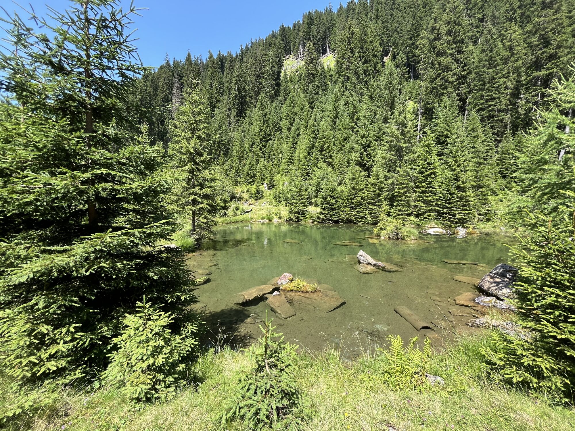
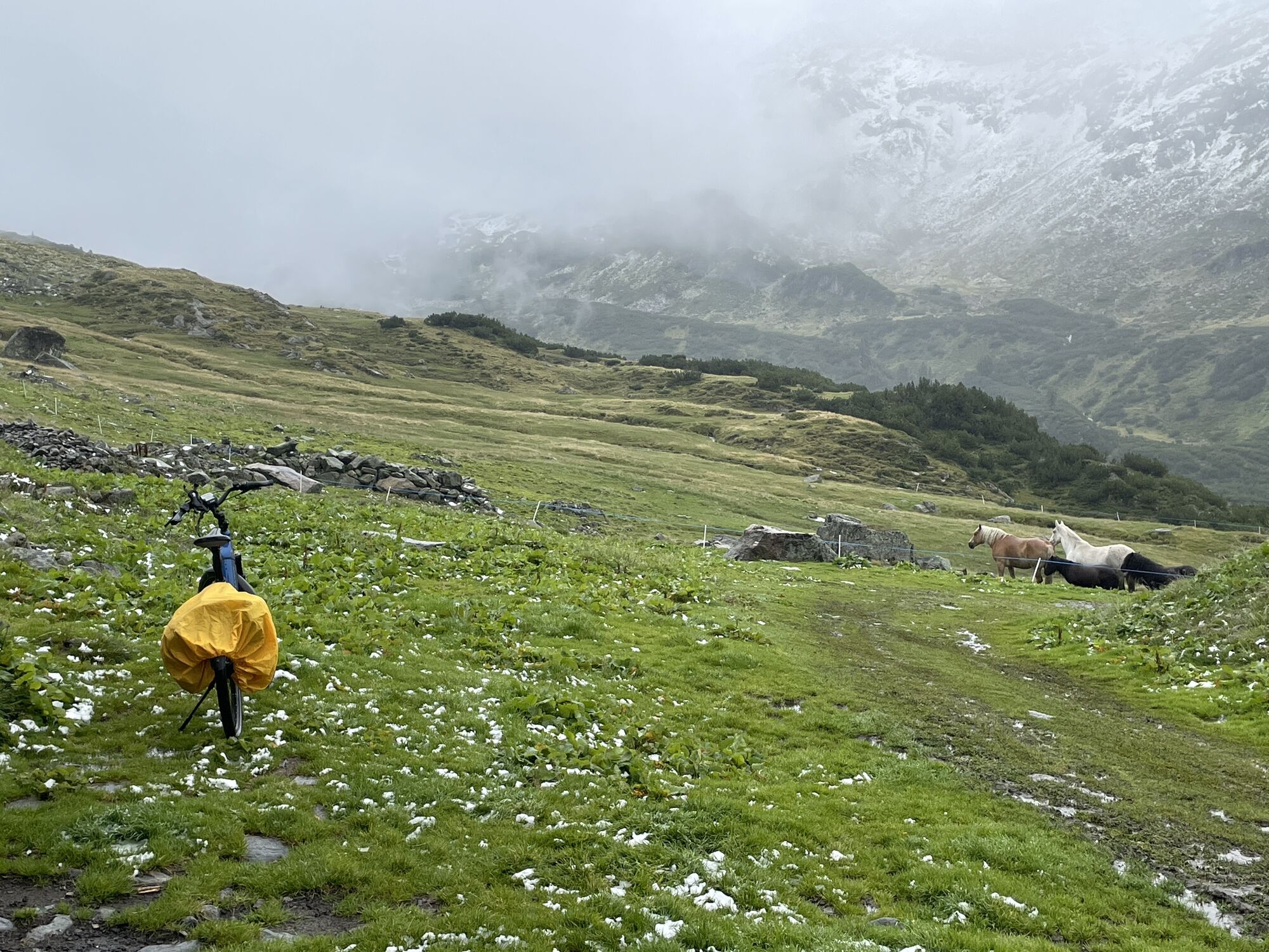
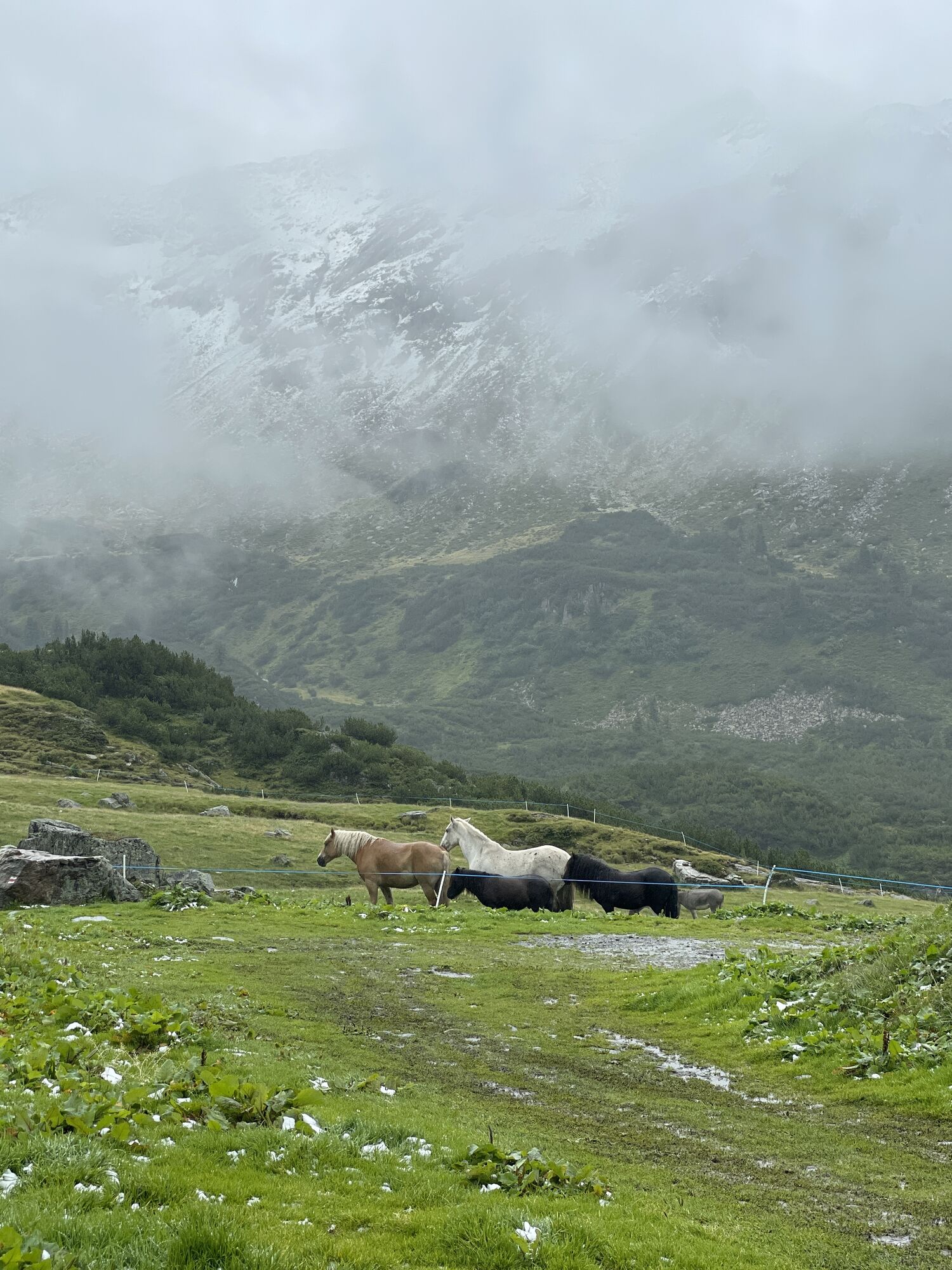
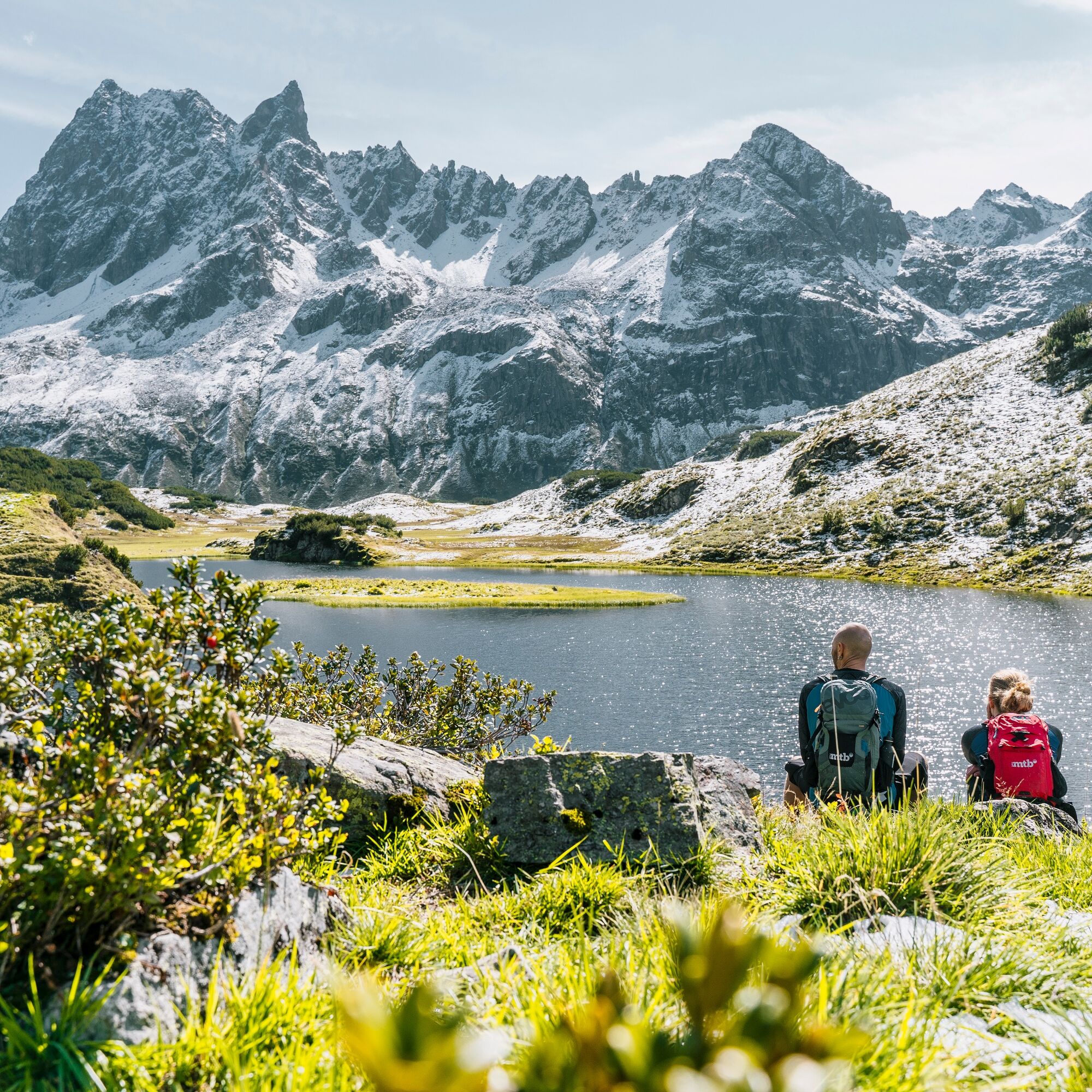
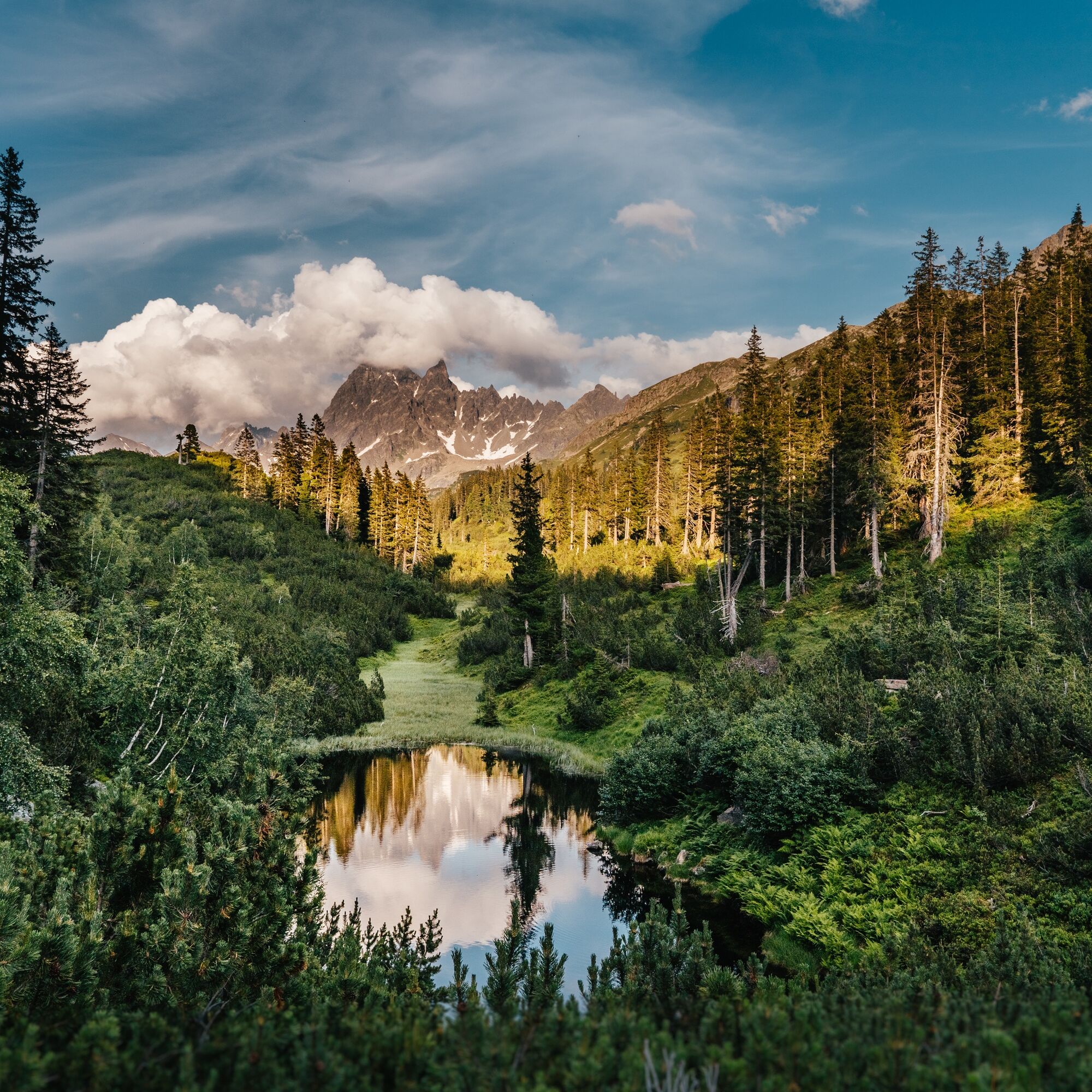
Here you leave the e-mountain bike. The hike first leads over a lush meadow scattered with larger rocks. Shortly before Langsee it becomes a bit steeper until you reach Langsee. The same way back.
Bike: Aktivpark Montafon - Silbertal - Lower Gaflunaalpe - Upper Freschalpe
Hike: Upper Freschalpe - Langsee - Upper Freschalpe
Bike: Upper Freschalpe - Lower Gaflunaalpe - Silbertal - Aktivpark Montafon
Spare battery, charger, bike helmet, day bike backpack (approx. 20 liters) with rain cover, comfortable sports shoes, possibly cycling shoes, weather-appropriate and durable clothing in layers, possibly cycling jersey, possibly cycling gloves, pump, bike tool, sun and rain protection, provisions and drinking water, water bottle and appropriate holder, first aid kit, pocket knife, mobile phone, possibly mobile phone holder for the handlebar, possibly headlamp and reflectors, map material
EMERGENCY: 144
112 Euro emergency number (works with any mobile phone/network)
Coming from Bludenz take the Bludenz/Montafon motorway exit and follow L188 into the Montafon to Schruns. The federal road L188 takes you directly to Aktivpark Montafon, which is on the right side of the road.
maps.google.com
Just leave your car parked.
The Montafonerbahn regional buses operate throughout the Montafon. The main lines run hourly from Schruns station.
From Schruns station you reach the Aktivpark in Tschagguns with bus line 2a. The stop is: "Aktivpark". Return also with bus line 2a to Schruns station.
Arrival by train
From Bludenz station the Montafonerbahn runs hourly (sometimes every half hour). There are also direct connections from Lindau (D) and from Bregenz.
There are numerous parking spaces directly at Aktivpark Montafon
4
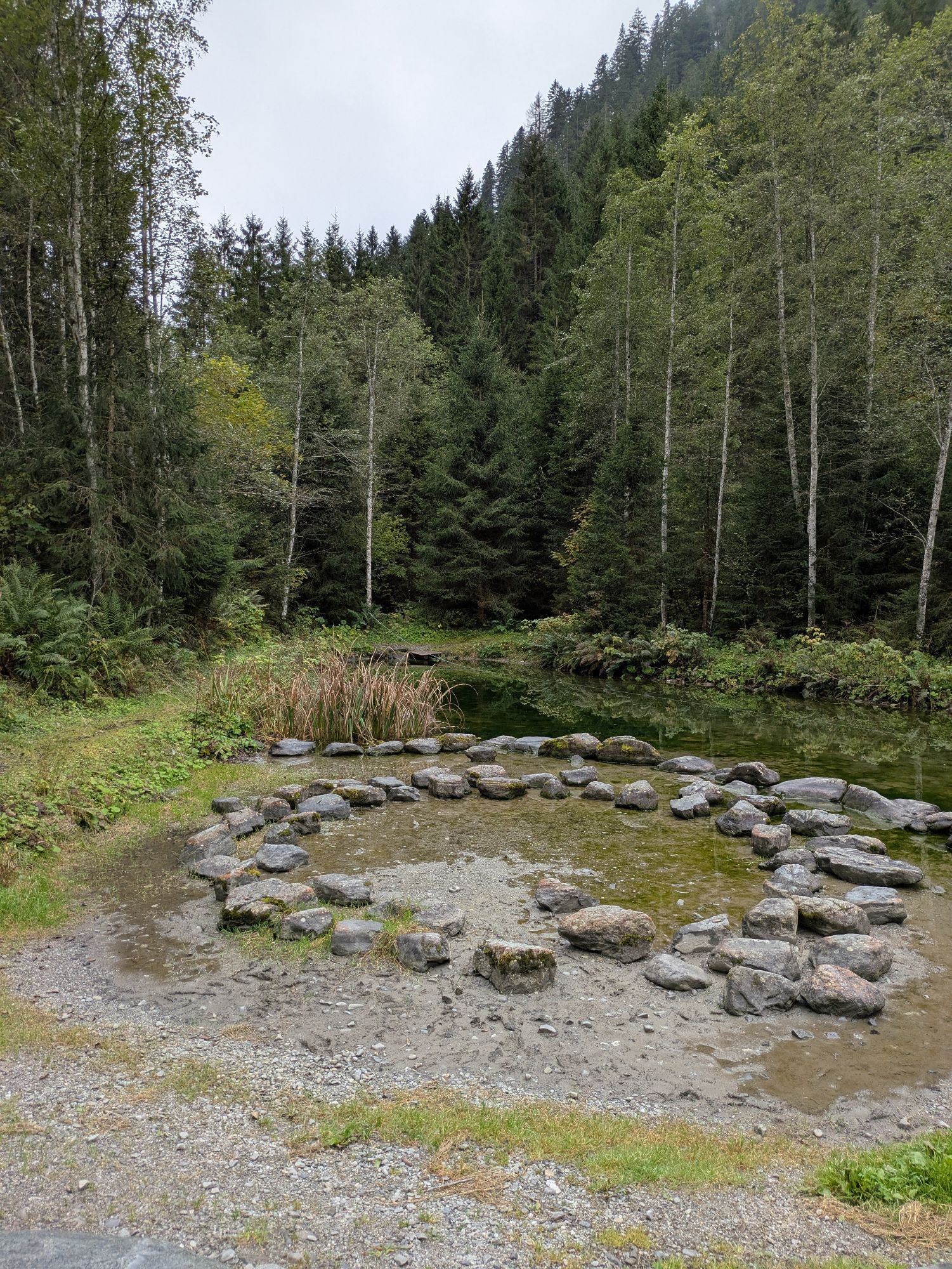
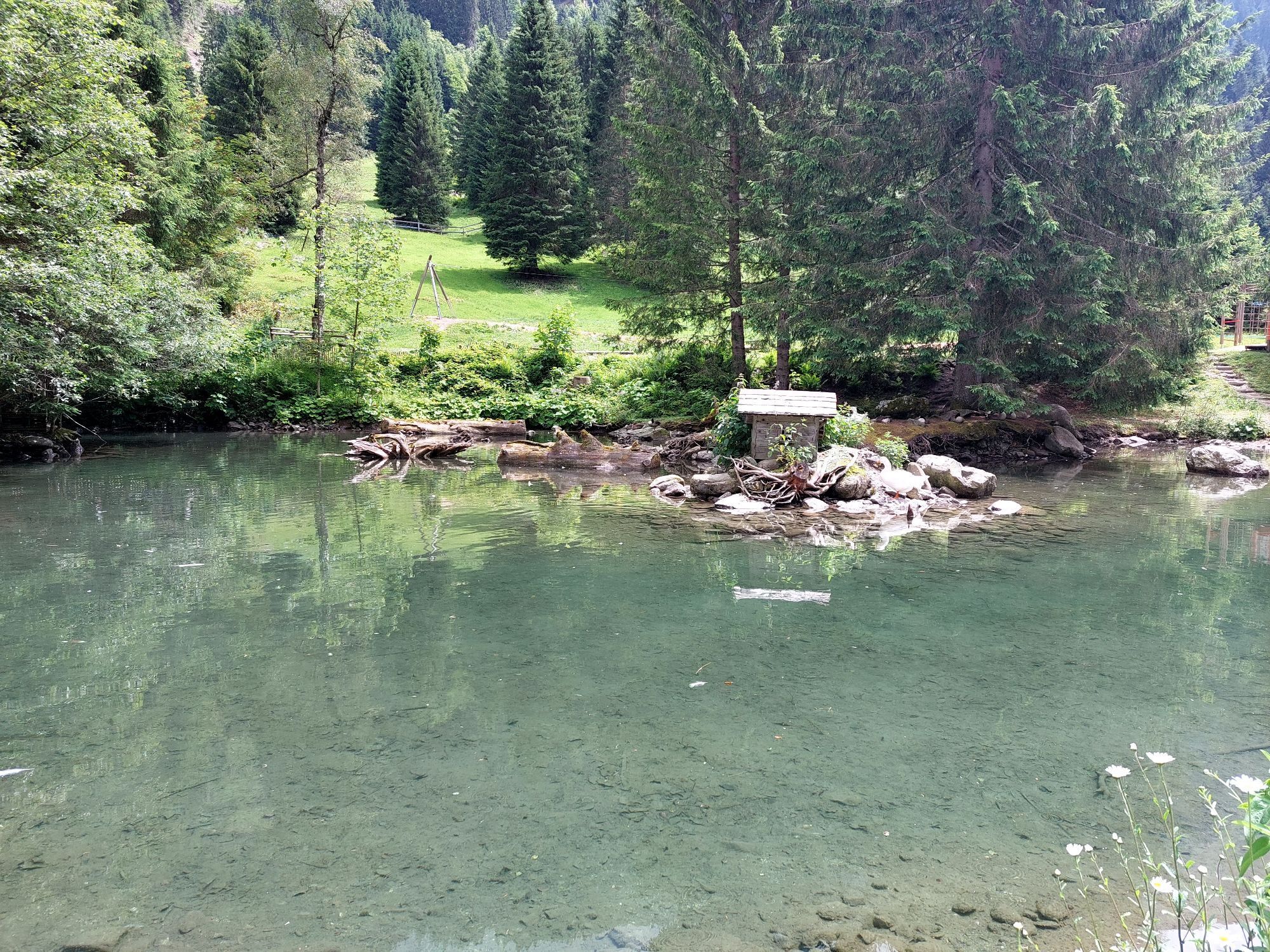
I recommend a stop at the lower Gaflunaalpe.
Webové kamery z prohlídky
-
Bergstation Sonnenkopf
-
Hochjoch Bahn Bergstation
-
Montafoner Kristbergbahn Bergstation
-
Panoramagasthof Kristberg
-
Panoramagasthof Kristberg
-
Kristberglift mit St. Agatha Kirche
-
Kinderland Skischule Silbertal
-
Matschwitz Mittelstation
-
Bergstation Hochalpila Bahn
-
Silbertal Dorf
-
Innerberg
-
Golm - Matschwitz
-
Silvretta-Montafon - Panorama Bahn
-
Bartholomäberg
-
Bartholomäberg
-
Bergstation Sonnenkopf
-
Bergstation Sonnenkopf
-
Bergstation Sonnenkopf
-
Bergstation Sonnenkopf
-
Tschagguns
-
Schruns
-
Heilbronner Hütte
-
Heilbronner Hütte
-
Heilbronner Hütte
-
Bartholomäberg - Ferienhotel Fernblick
-
Wormserhütte
-
Wormserhütte
-
Kapellbahn
-
Schlepplift Innerbach
-
Bartholomäberg
-
Bartholomäberg - Ferienhotel Fernblick
-
Bartholomäberg - Ferienhotel Fernblick
-
Bartholomäberg - Ferienhotel Fernblick
Oblíbené prohlídky v okolí
-
5.0
Ski tour to the Lindauer Hut (1,744 m)
světloLyžařská trasa 14.0 km -
4.4
Golm-Rundwanderweg im Rätikon
středníTematická stezka 7.28 km -
4.7
Over the historic mine and Fritzensee to Rellseck
středníTuristika 7.25 km -
4.8
Heilbronner lodge
středníTuristika 13.0 km -
4.2
Golmerbahn Bergstaion Grüneck - Golmer Höhenweg - Geißspitze - Lindauer Hütte - Latschau
středníTuristika 11.5 km -
4.4
Madrisella summit path
středníTematická stezka 10.8 km -
4.6
Kristberg - Wasserstubental - Silbertal
světloTuristika 13.8 km -
3.0
Bergstation Grüneck Golmerbahn - Alpe Latschätz - Lindauer Hütte - Latschau
světloTuristika 11.1 km -
3.3
Dalaas - Freiburgerhütte
středníTuristika 8.40 km -
4.0
Stuben - Stubner See - Kaltenberghütte - Stuben
středníTuristika 9.90 km
Pěší turistika a stopování


Nenechte si ujít nabídky a inspiraci pro vaši příští dovolenou
Vaše e-mailová adresa byl přidán do poštovního seznamu.