


Nordic walking route from Mittelberg to Baad
Úroveň obtížnosti: 2


The Nordic walking route starts in Mittelberg and passes the valley station of the Walmendingerhornbahn along Moosstraße and the Stützeweg to the beautifully situated Mittelberg district of Stütze. Already...
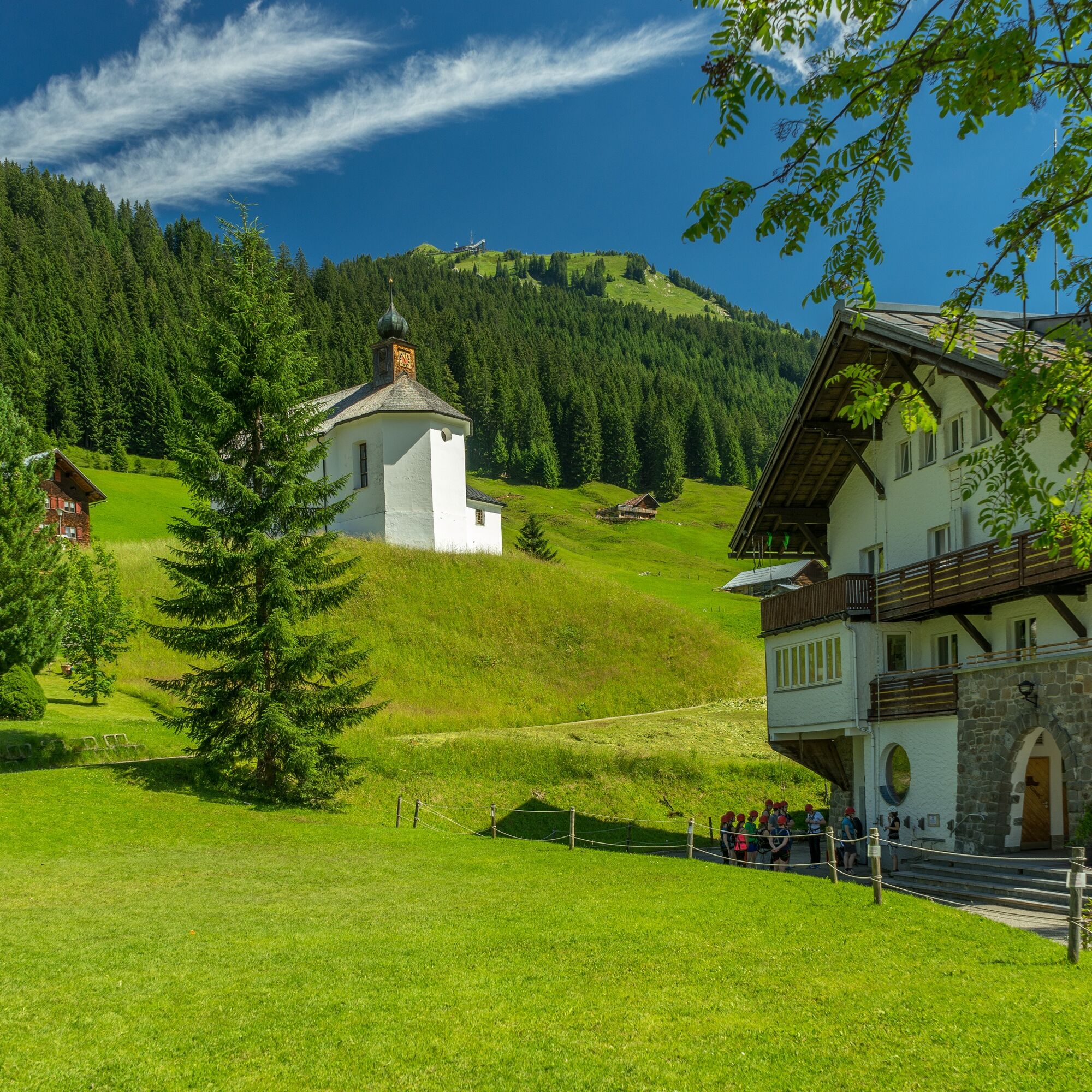
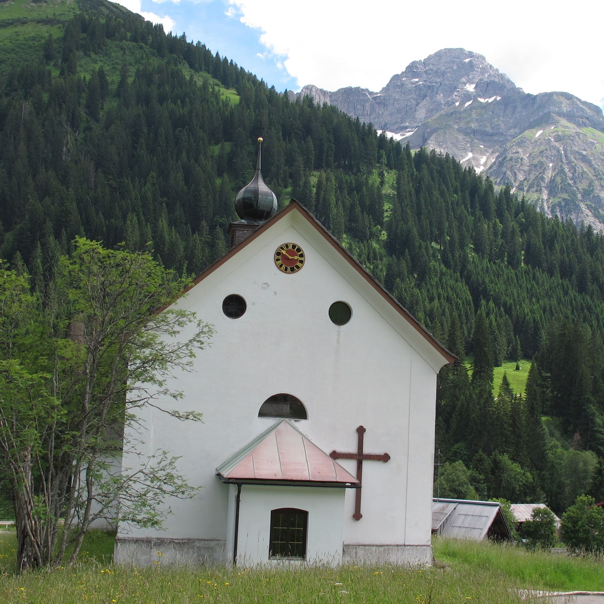
The Nordic walking route starts in Mittelberg and passes the valley station of the Walmendingerhornbahn along Moosstraße and the Stützeweg to the beautifully situated Mittelberg district of Stütze. Already on this section, there is a great panoramic view towards the Wilden and Gemsteltal. Along the scenic hillside location, the route alternates over meadows and through forest sections through the two hamlets Erlenboden and Alpenwald. Further on the Baader Höhenweg down to Baad, the smallest and highest village in the Kleinwalsertal. From Baad, which lies at the foot of the Widderstein, it goes onto the walking path on the Breitach: the Breitachweg. This leads along the cool Breitach into Gemstelboden. From there, over the bridge into the Mittelberg district of Bödmen and up via the Jörihalde back to the center of Mittelberg.

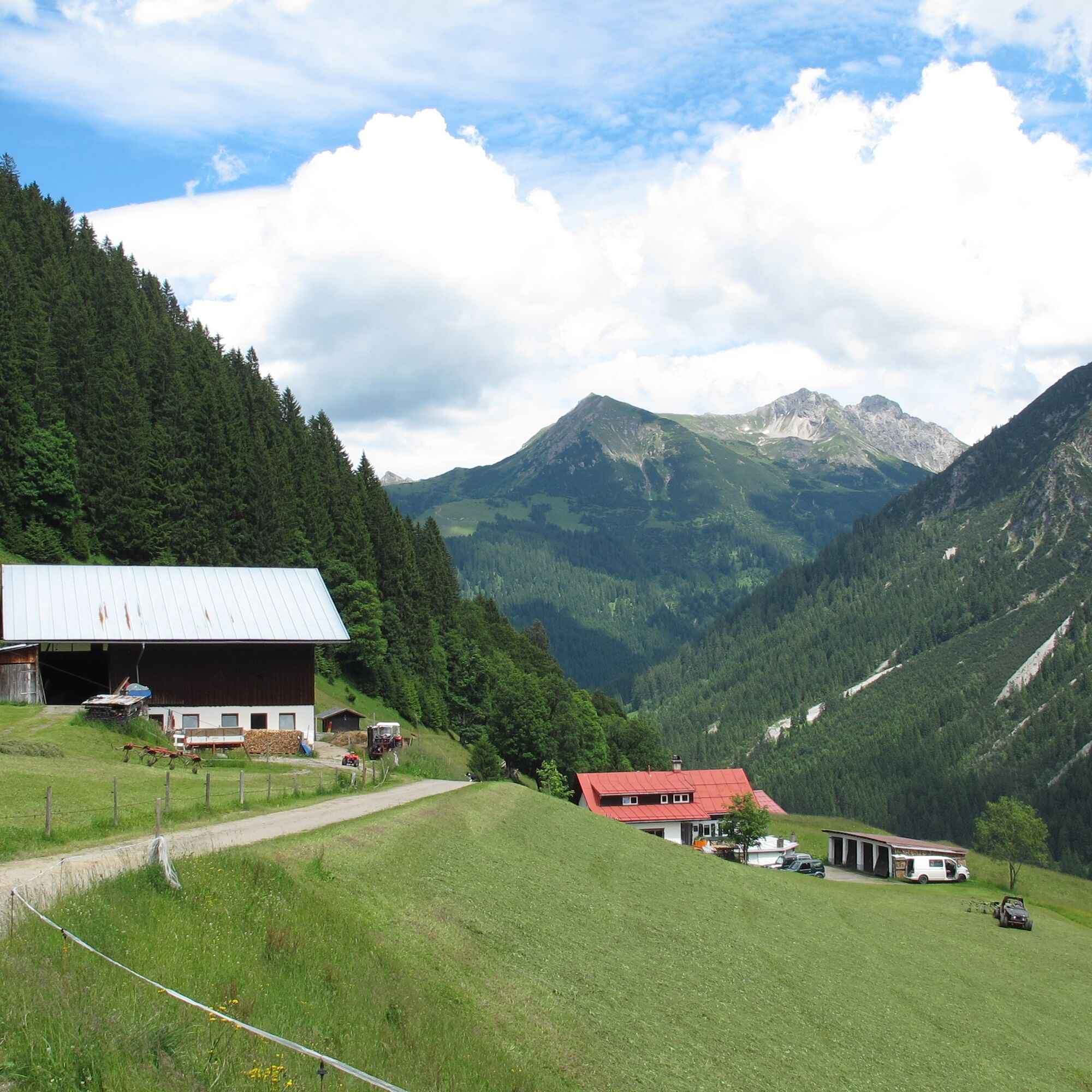
Mittelberg - Stütze - Erlenboden - Alpenwald - Baad - Breitachweg - Gemstelboden - Jörihalde - Mittelberg
Ano
Nordic walking poles, suitable footwear
EMERGENCY CALL:
144 Alpine emergencies Vorarlberg
112 European emergency number (works with any mobile phone/network)
Most arrival routes from Germany converge in Ulm and continue on the A7. At the Allgäu motorway triangle via the A980 section to the Waltenhofen interchange and on the four-lane B19 via Sonthofen and Oberstdorf into the Kleinwalsertal. From Austria (Vorarlberg) and Switzerland, you reach Kleinwalsertal via the Bregenzerwald (Hittisau) – Riedberg Pass – Fischen – Oberstdorf. From Tyrol, the fastest route is via the A7 to Kempten and further on the B19 towards Oberstdorf. You do not need a motorway vignette for the trip into the valley.
Starting point of the route: Walserbus line 1, Mittelberg bus stop
Paid parking spaces at the Walmendingerhornbahn car park and at the Mittelberg Moos car park.
2
Webové kamery z prohlídky
Bergstation Kanzelwandbahn Riezlern
Hirschegg - Naturhotel Chesa Valisa
Zaferna Bergstation
Mindelheimer Hütte
Riezlern - Kinderland
Wildentalhütte
Hirschegg - Hotel Walserhof
Hirschegg - Hotel Birkenhöhe
Hirschegg - Hotel Sonnenberg
Mittelberg Bödmen - Hotel Alte Krone
Mittelberg - Haus Walser Berge
Kanzelwand / Fellhorn
Hirschegg/Kleinwalsertal
Hirschegg/Kleinwalsertal
Mittelberg - Bergpension Starzelhaus
Mittelberg - Bergpension Starzelhaus
Warth-Schröcken - Widdersteinhütte
Mittelberg - Gästehaus Otto Fritz
Bannholzhof
Bannholzhof
Kleinwalsertal / Haus Keti
Ifenbahn Mittelstation
Walmendingerhorn
Walmendingerhorn
Walmendingerhorn
Walmendingerhorn
Walmendingerhorn
Walmendingerhorn
Walmendingerhorn
Kleinwalsertal
Riezlern - Haus Peter Paul
Riezlern - Landhaus Evi
Hirschegg - Hotel Birkenhöhe
Kleinwalsertal - Ifenbahn
Kleinwalsertal - Kanzelwandbahn
Ideallift
Naturhotel Chesa Valisa
Warth
Oblíbené prohlídky v okolí
- 4,3
Mountain tour over the Fellhorn ridge
středníTuristika8,24 km - 3,4
Mountain tour over the Hoher Ifen
heavyTuristika13,9 km - 4,6
Kanzelwand nach Söllereck
středníTuristika8,58 km - 4,7
Widderstein Runde von Baad
středníTuristika15,7 km - 4,3
Kanzelwand- Fellhorn- Kanzelwand
světloTuristika7,60 km - 4,9
E5 - 1. Etappe: Oberstdorf - Kemptner Hütte
světlodálková pěší trasa7,80 km - 4,2
Hiking through the Schwarzwassertal via Melköde to the Schwarzwasserhütte
středníTuristika4,94 km - 4,8
Round trip Gemstel
světloTuristika5,57 km - 4,9
Schöne Rundtour vom Fellhornbahn Parkplatz
středníTuristika29,0 km - 4,5
Upper high path Hirschegg-Mittelberg
středníTuristika4,99 km
Pěší turistika a stopování


Nenechte si ujít nabídky a inspiraci pro vaši příští dovolenou
Vaše e-mailová adresa byl přidán do poštovního seznamu.