


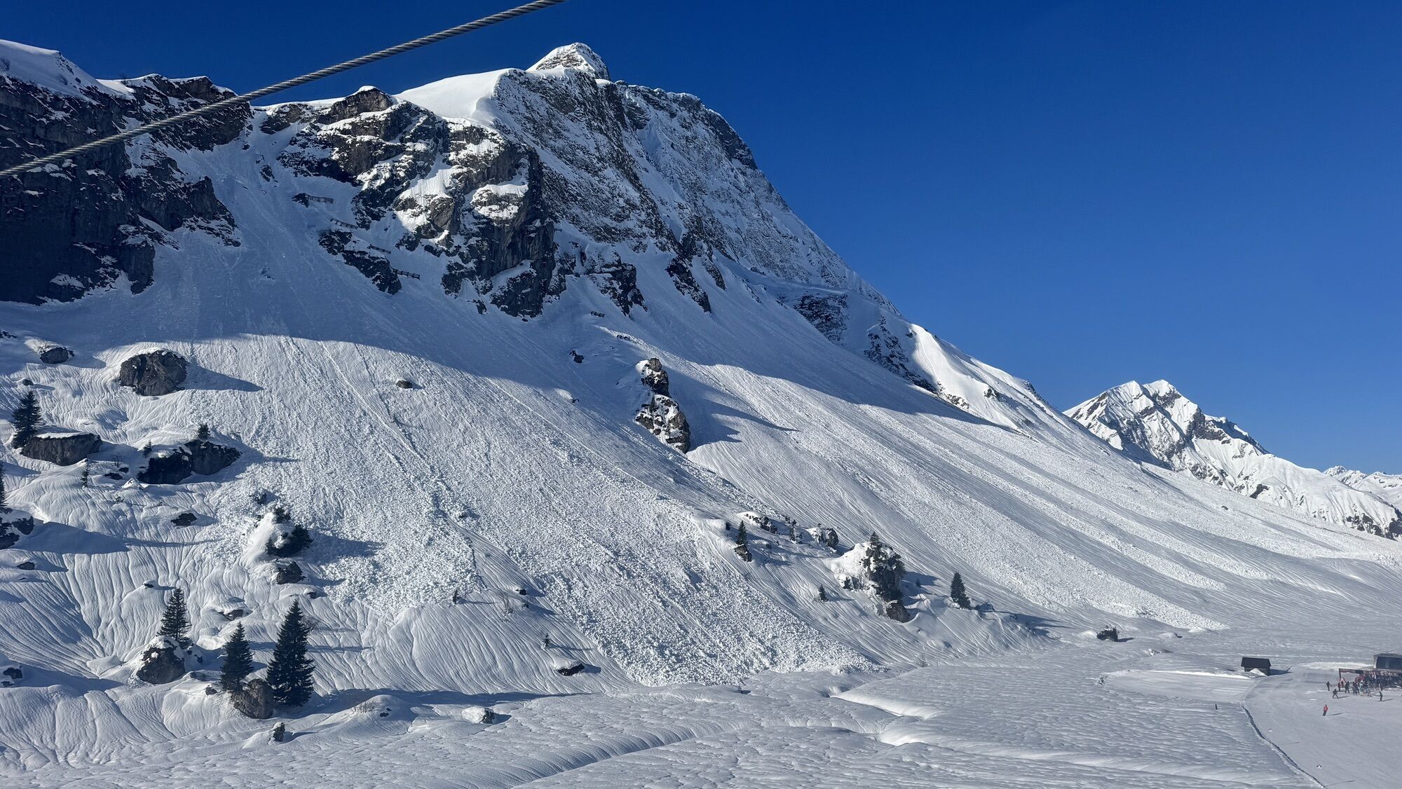
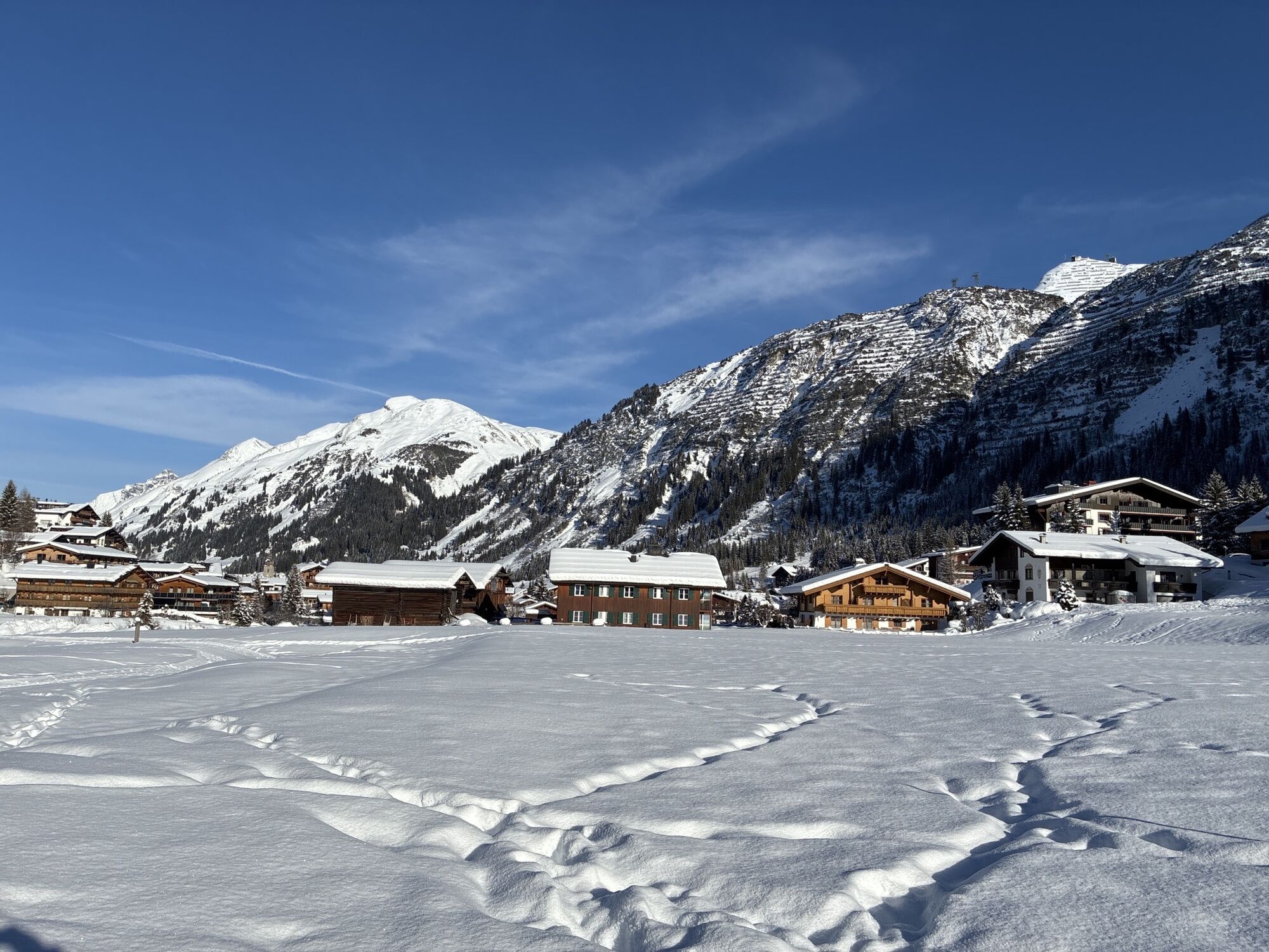
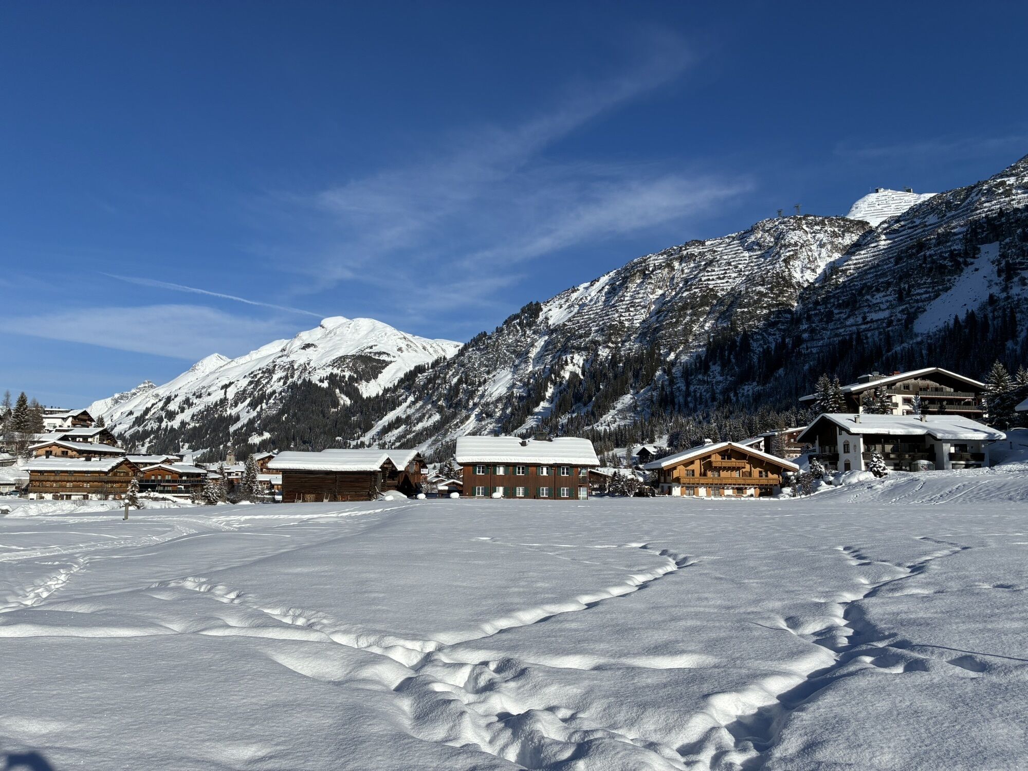
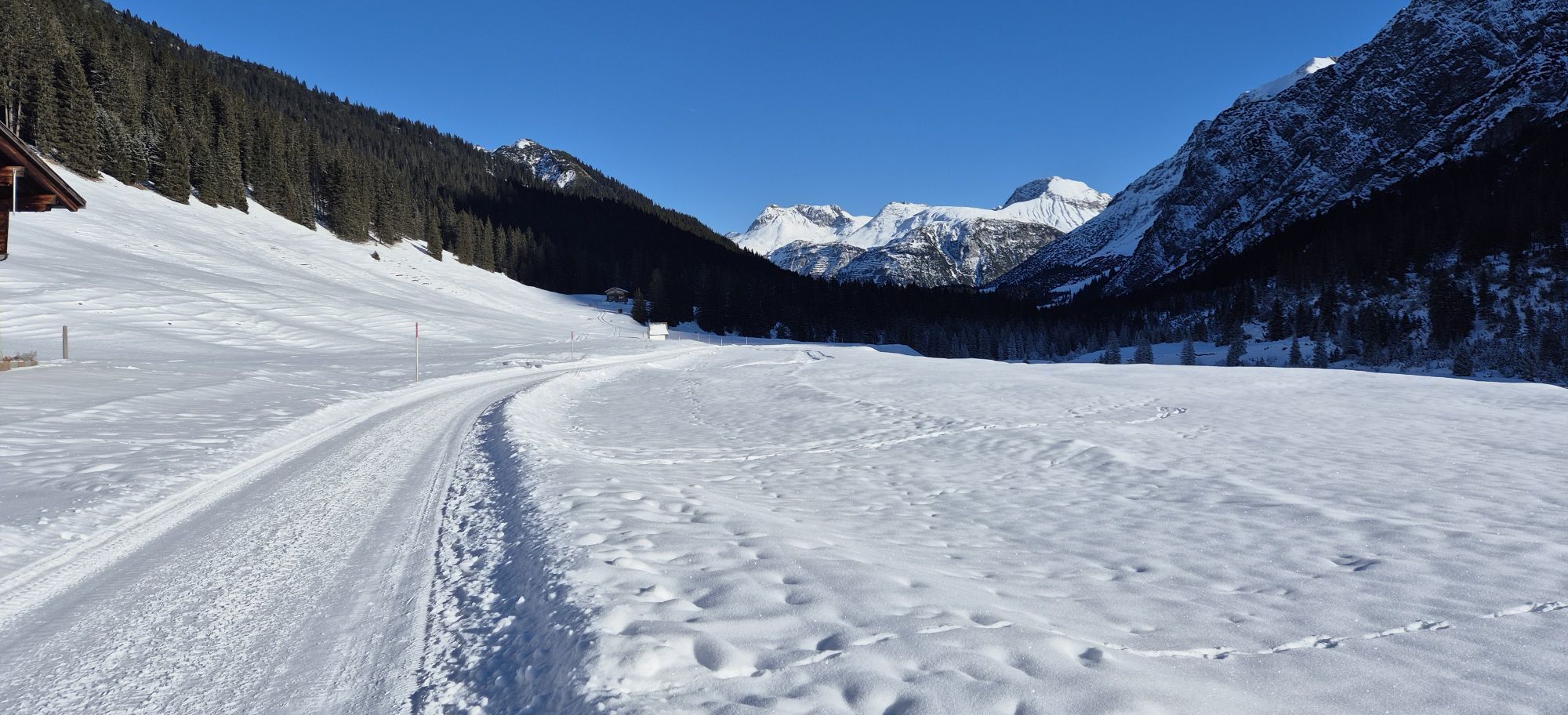
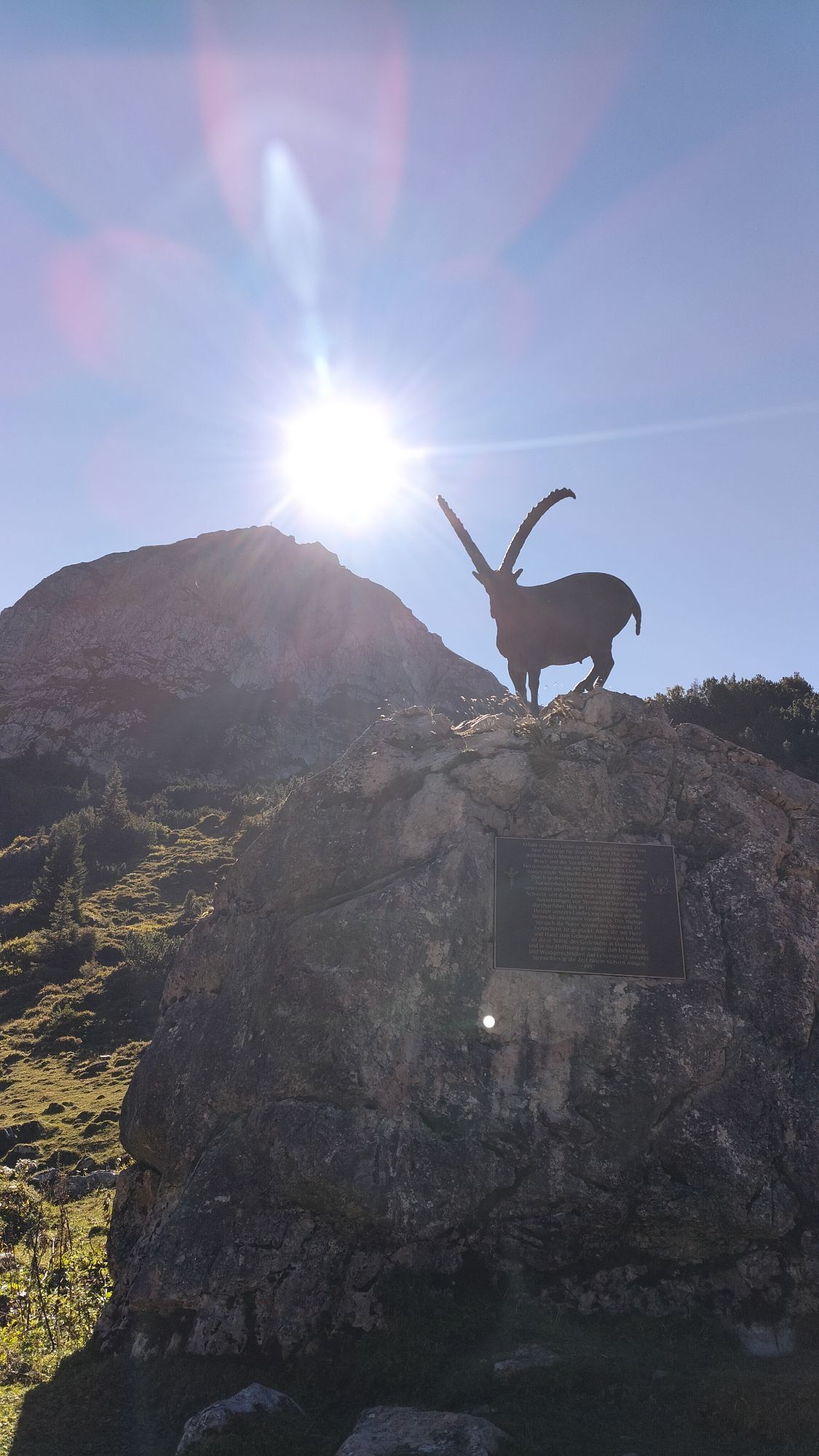
Schröcken | Bike & Hike zum Formarinsee und Steinernes Meer


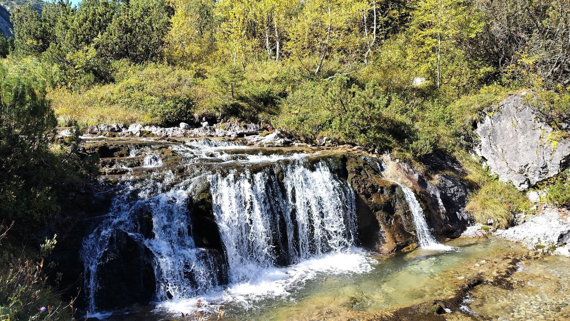

Tourenverlauf.
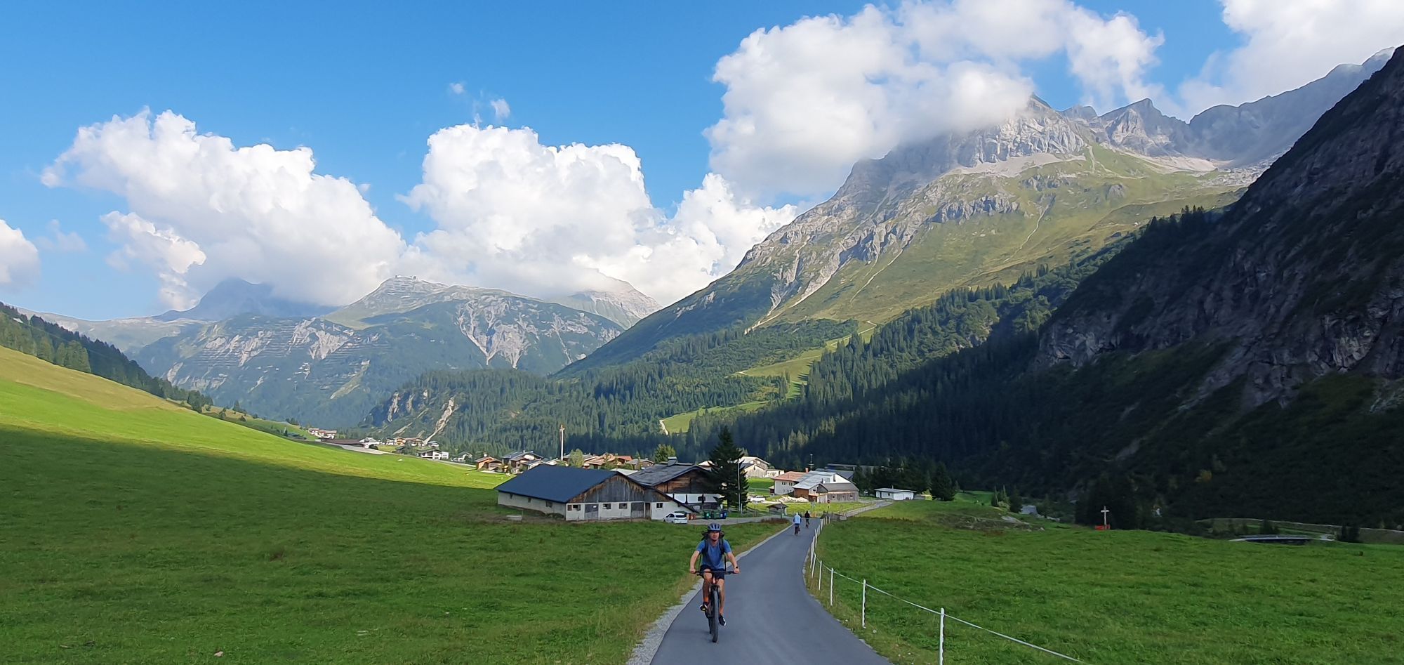
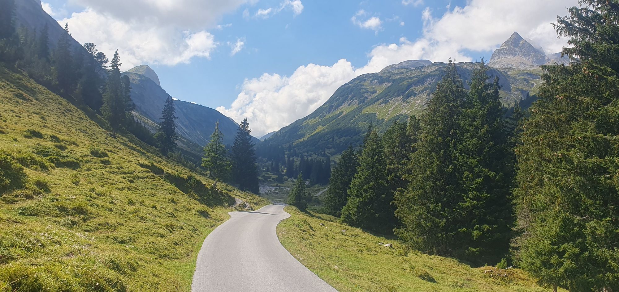
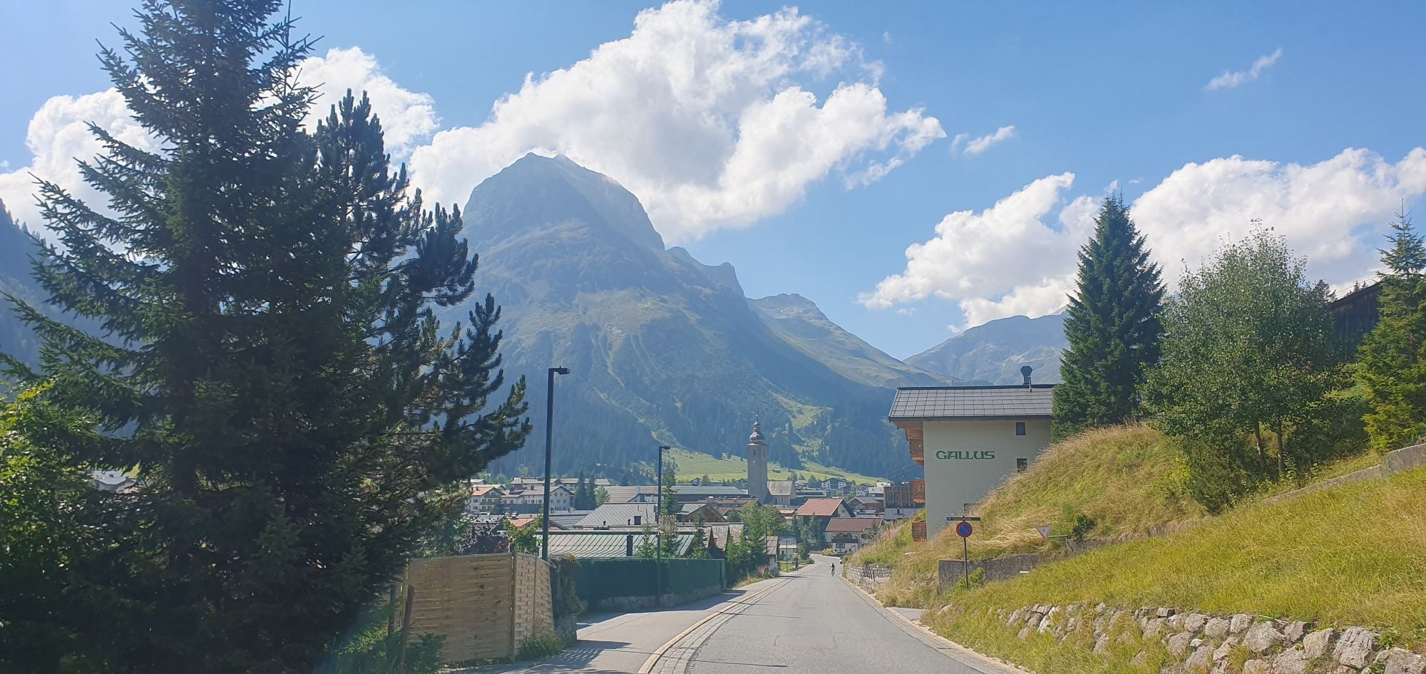
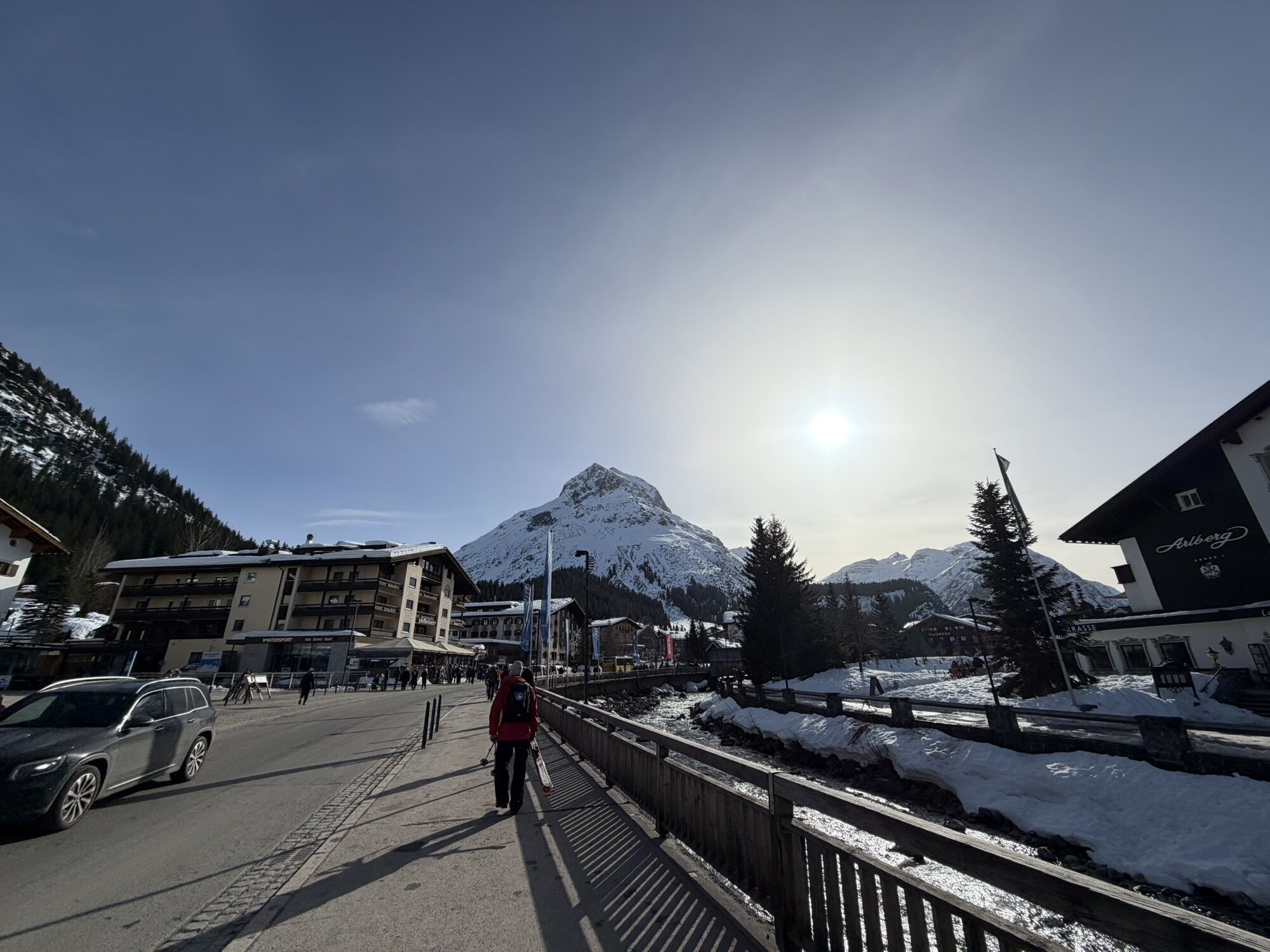
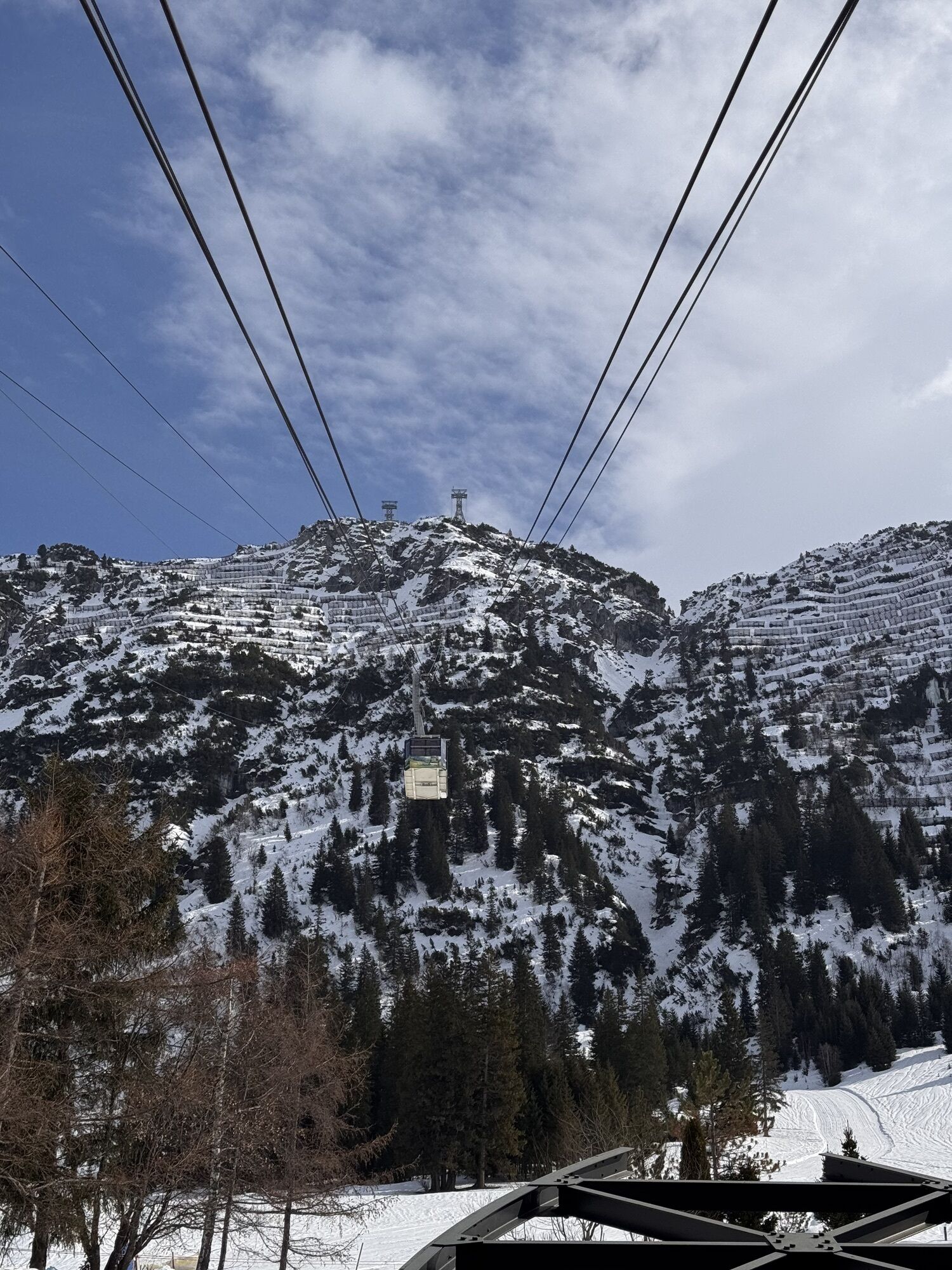
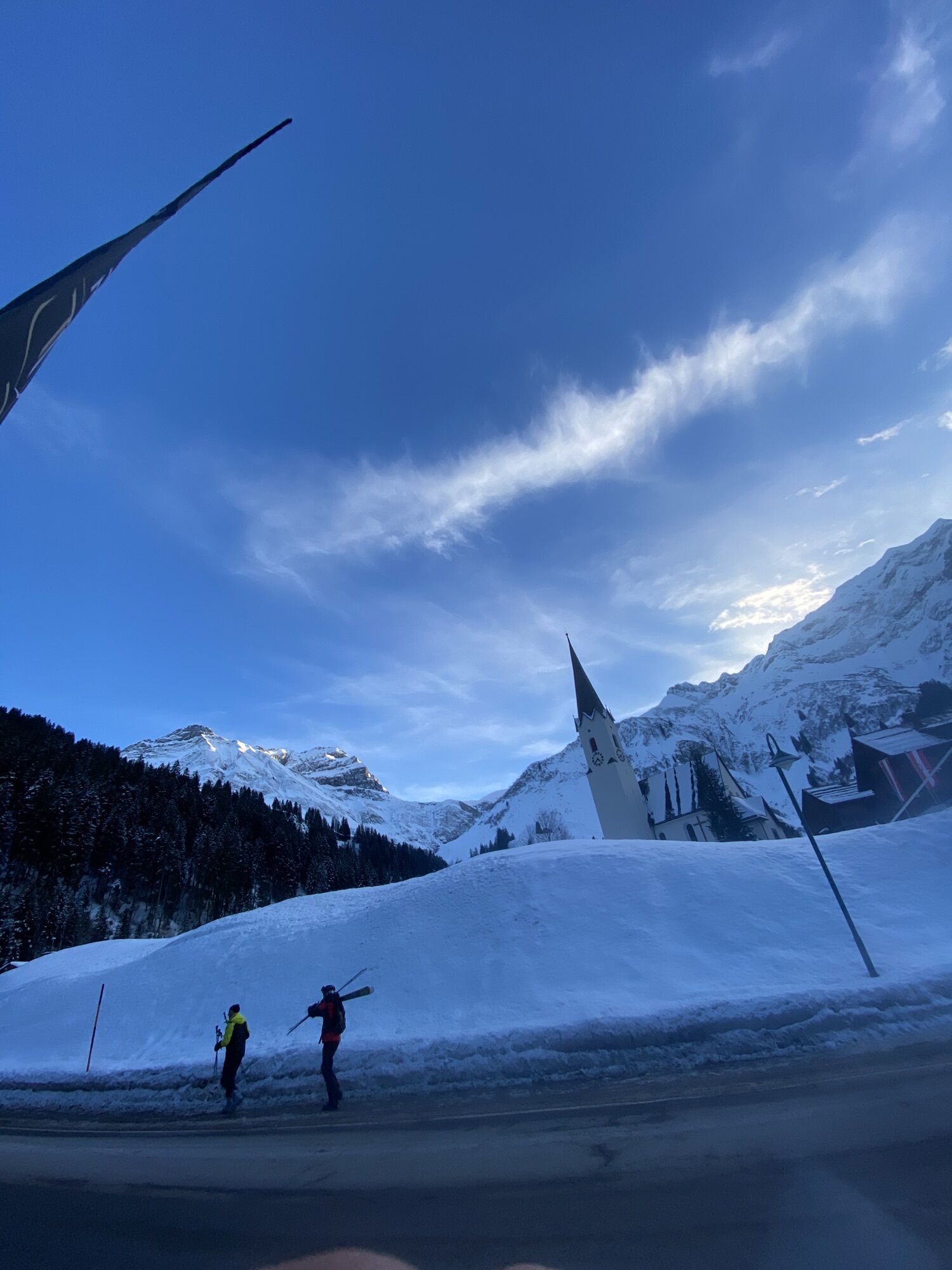
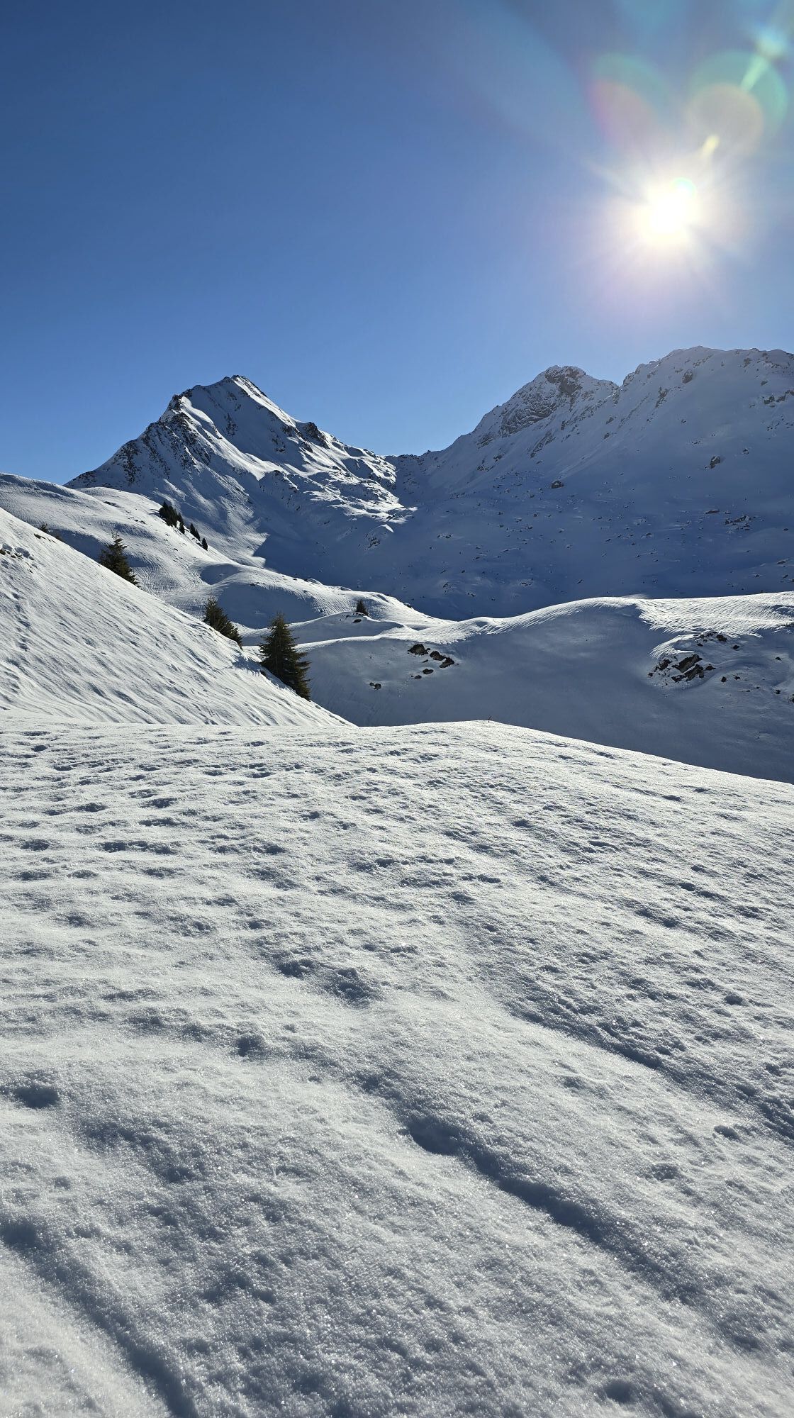
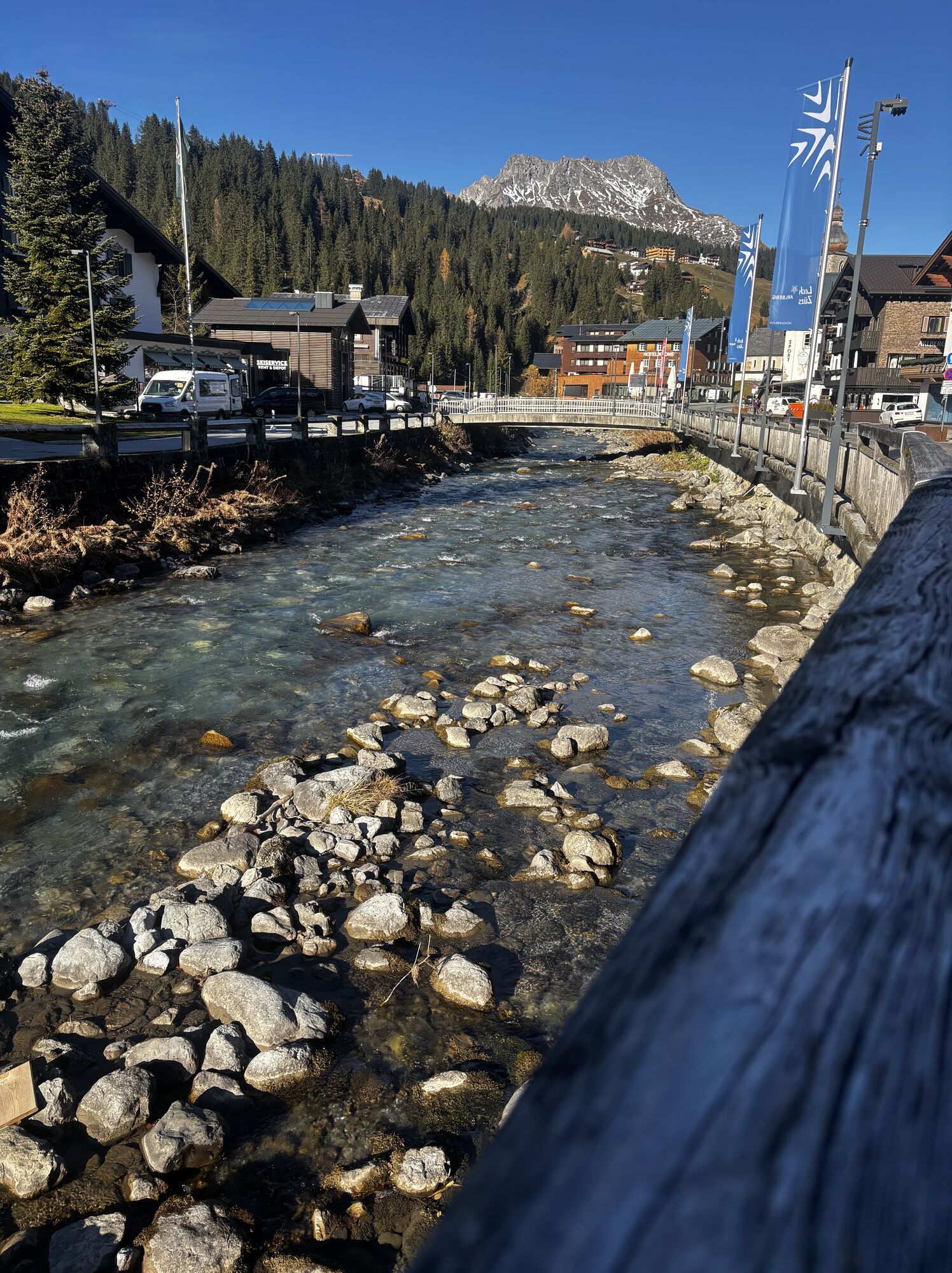
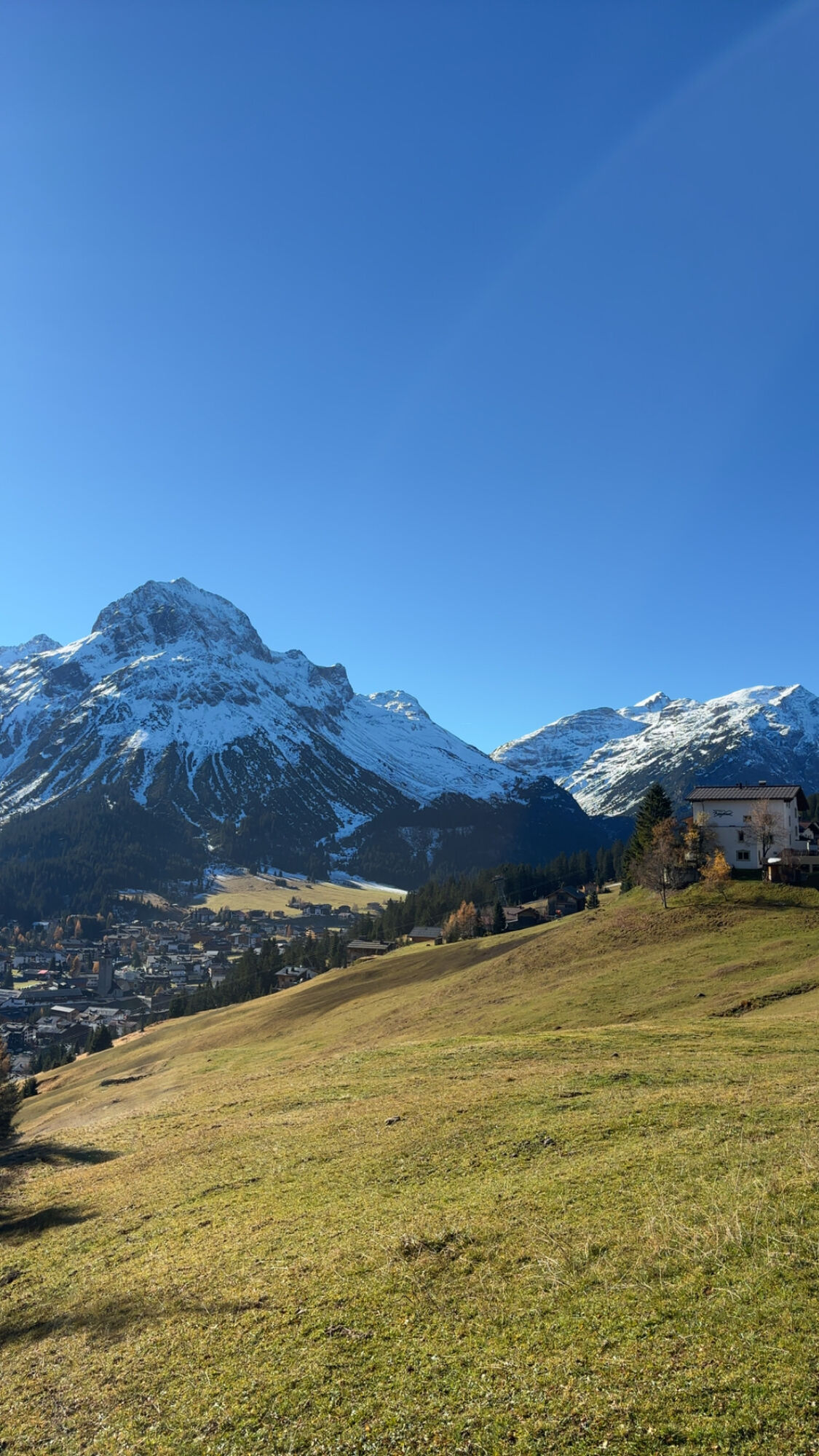
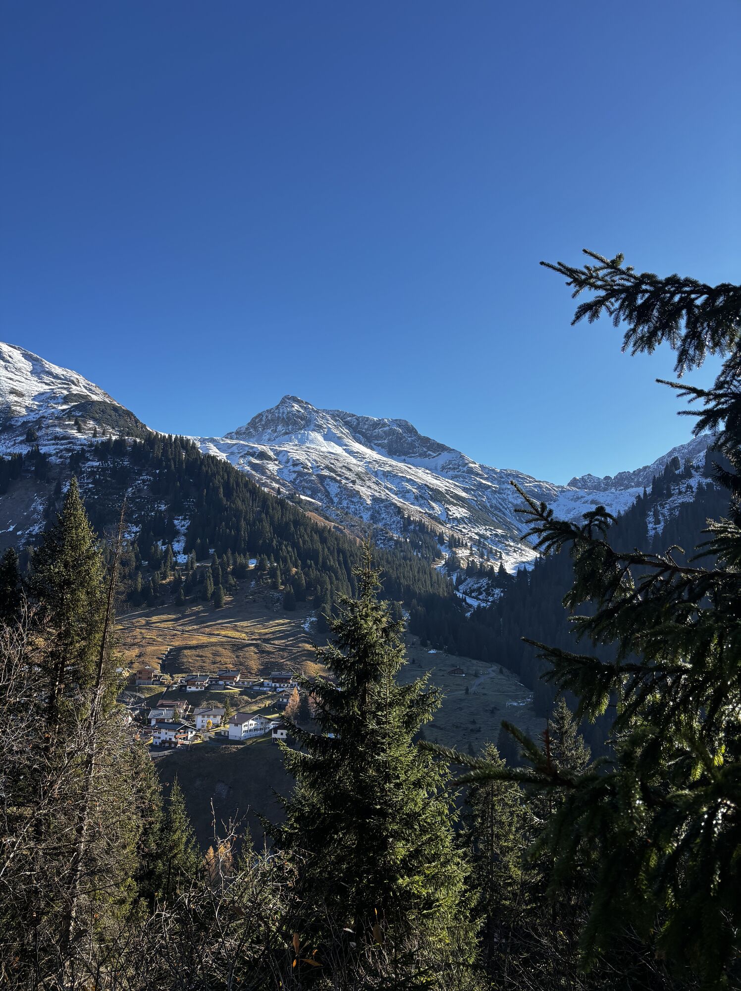
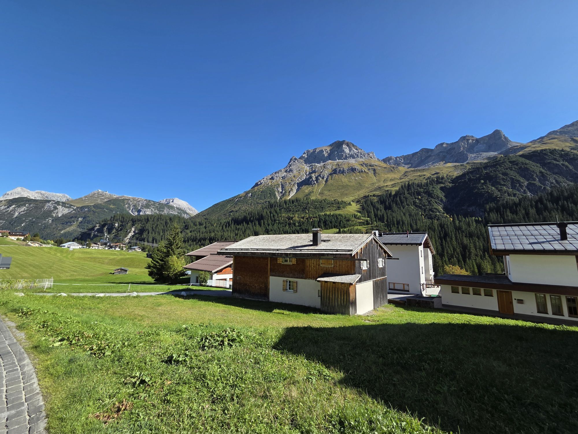
Bike: Dorfplatz Schröcken - Auenfeld - Auenfeldsattel - Oberlech - Lech - Zug - Formarinsee
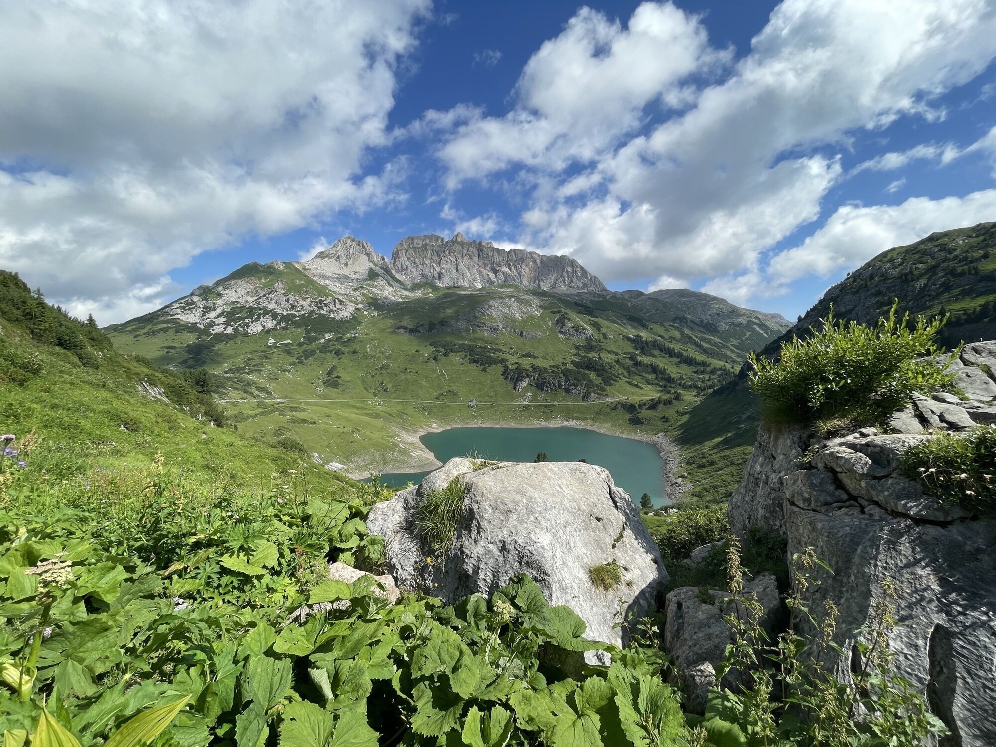
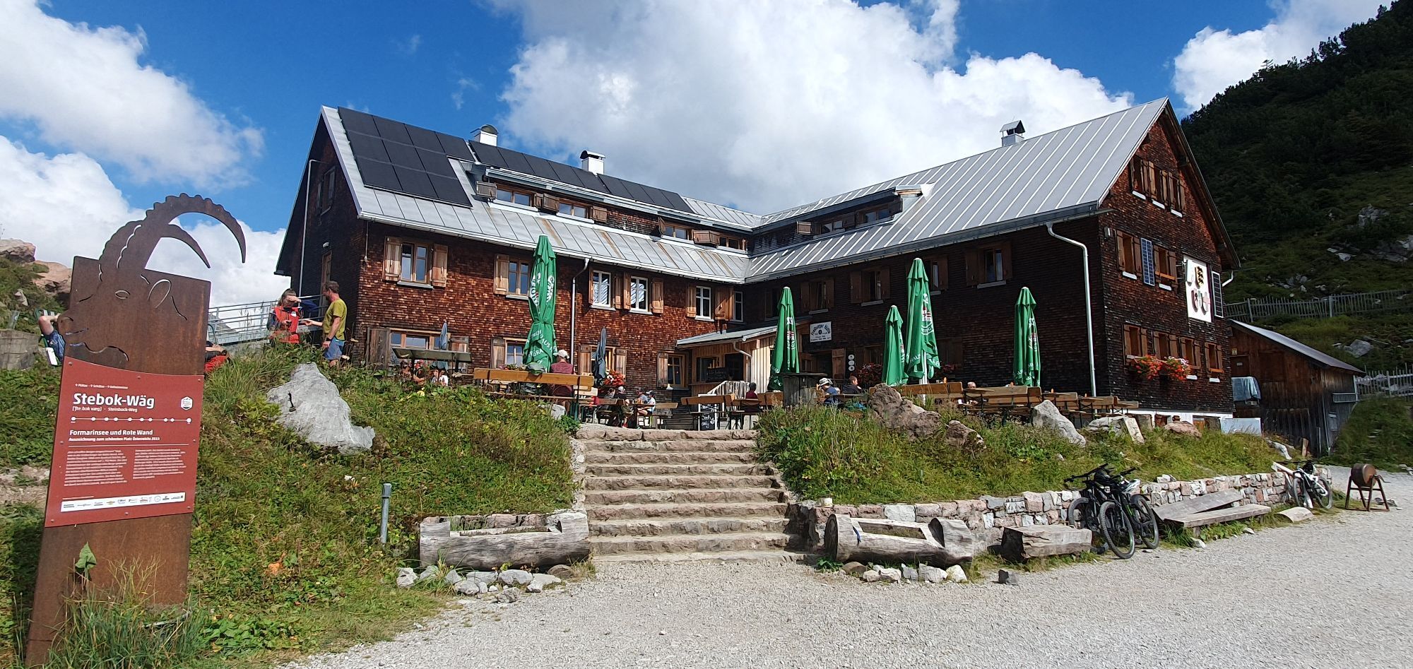
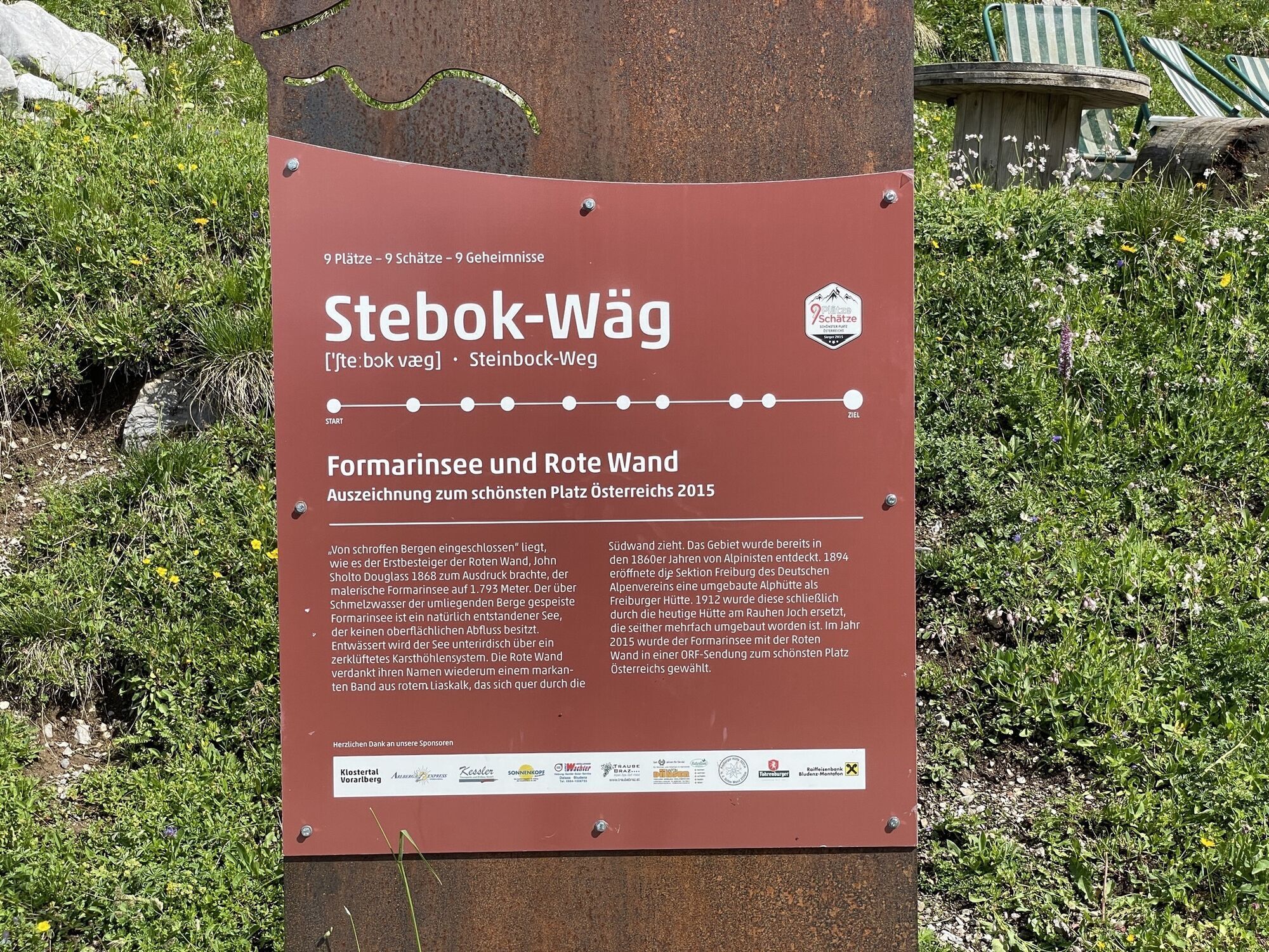
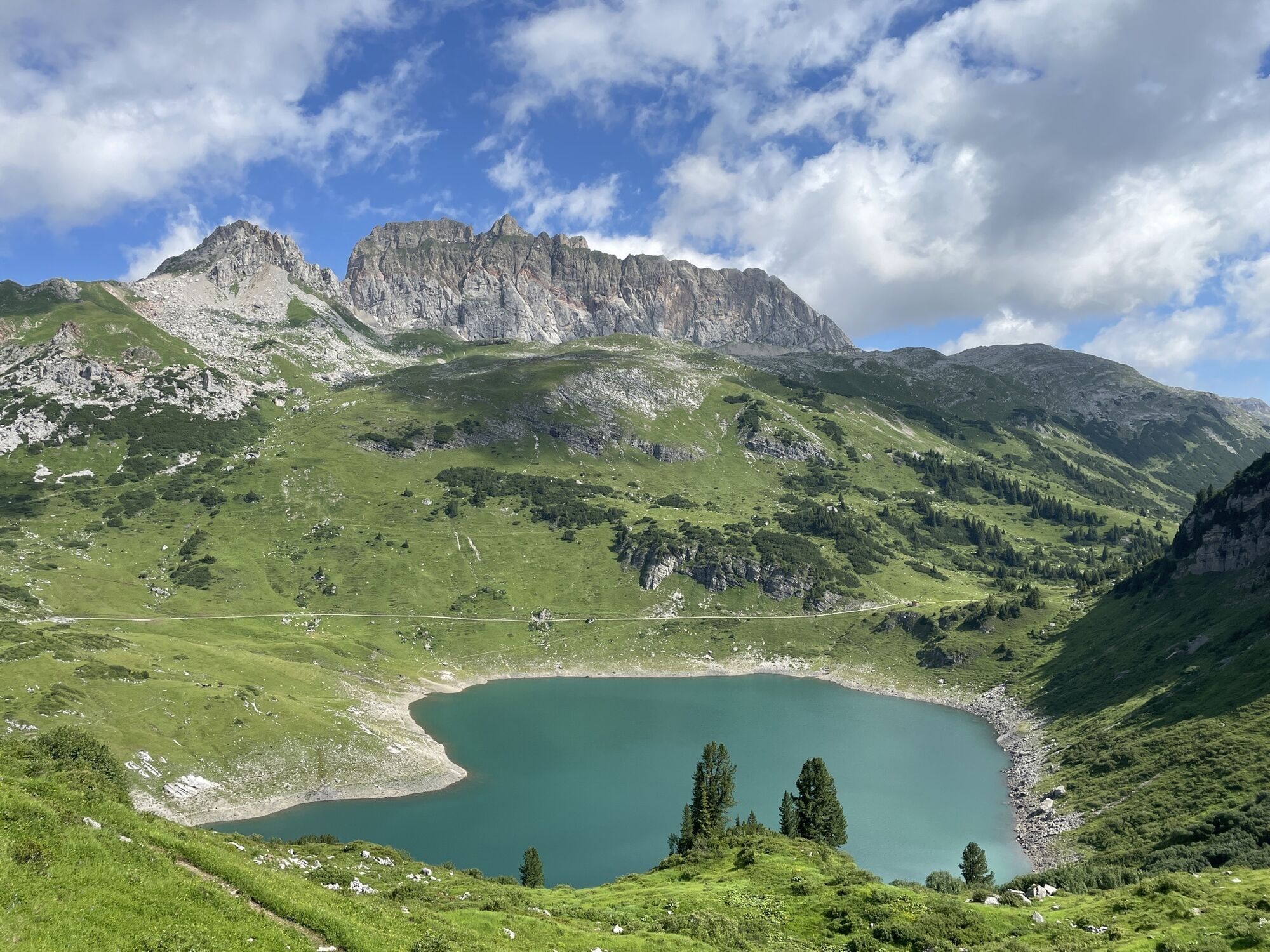
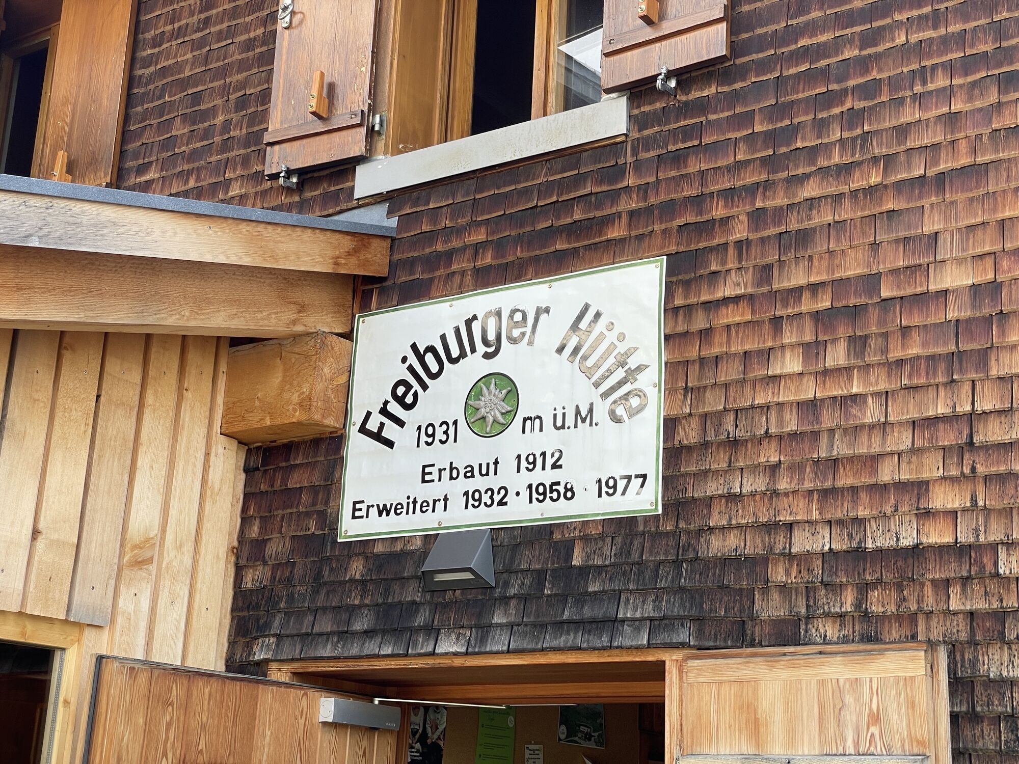
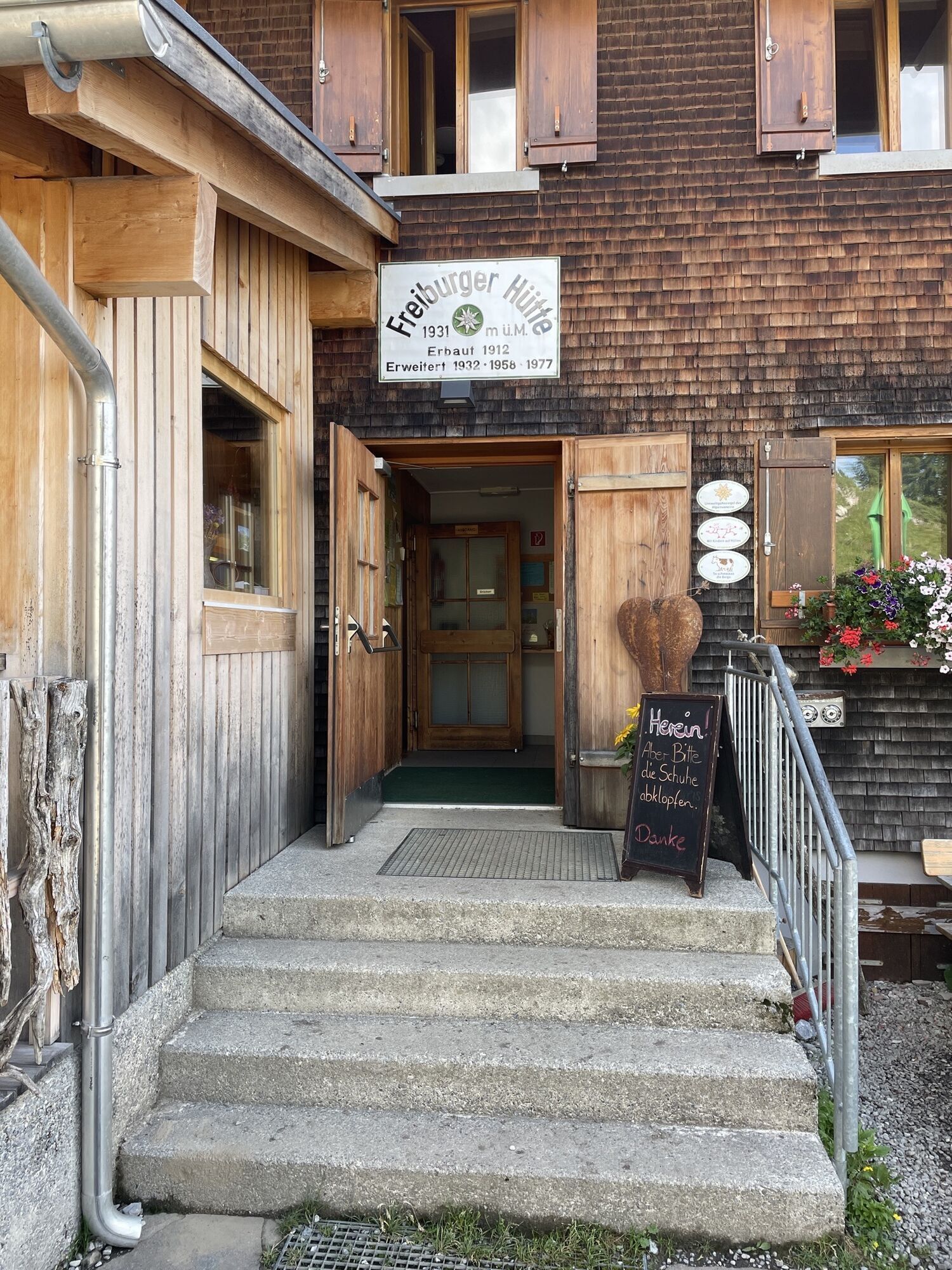
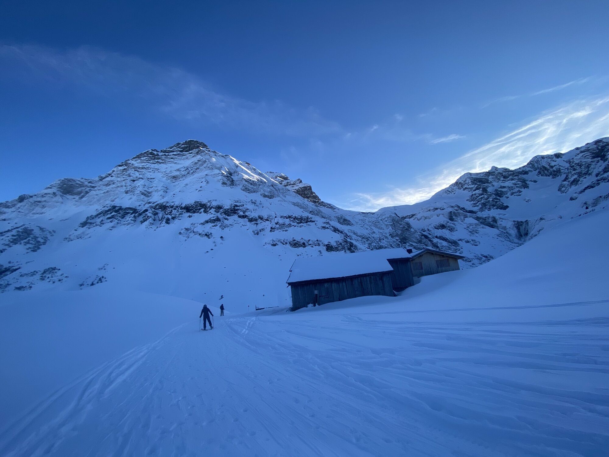
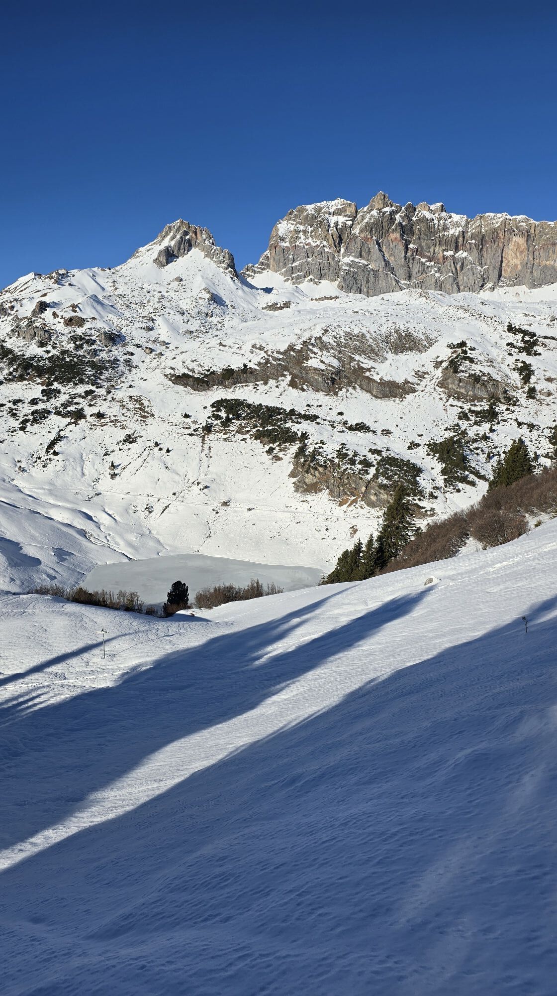
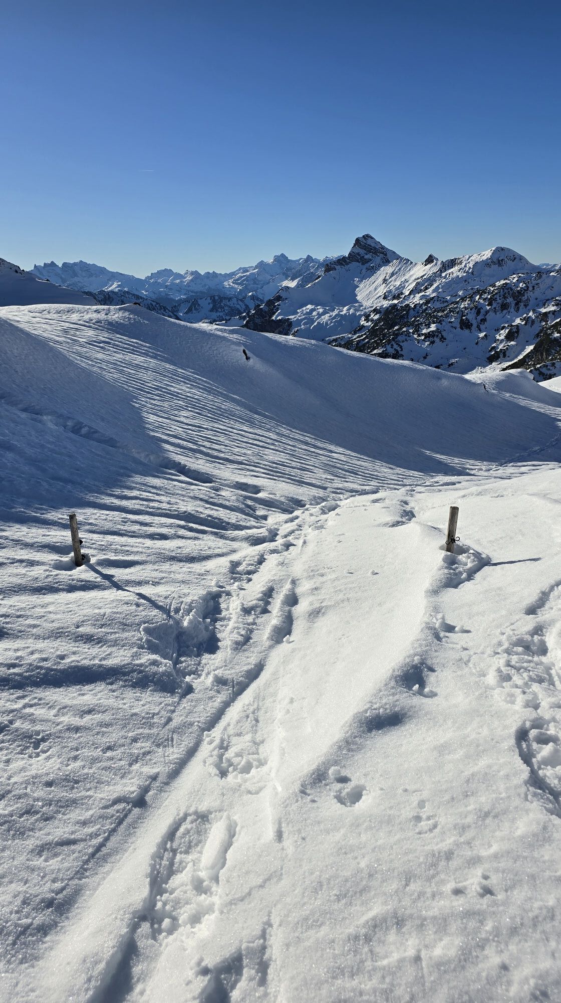
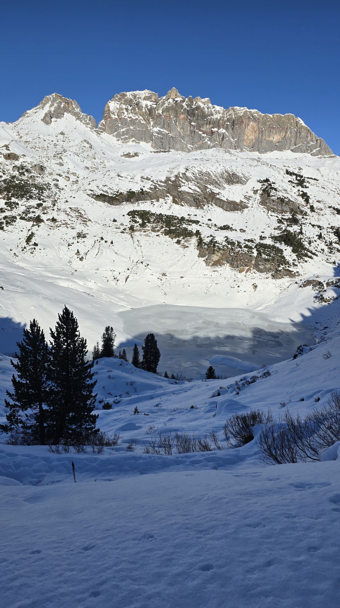
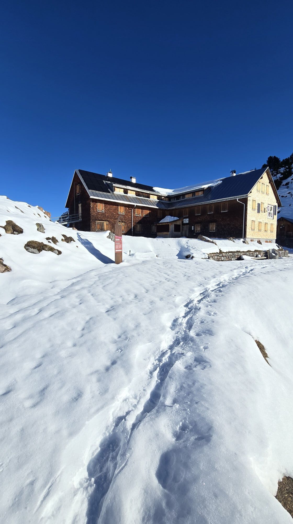
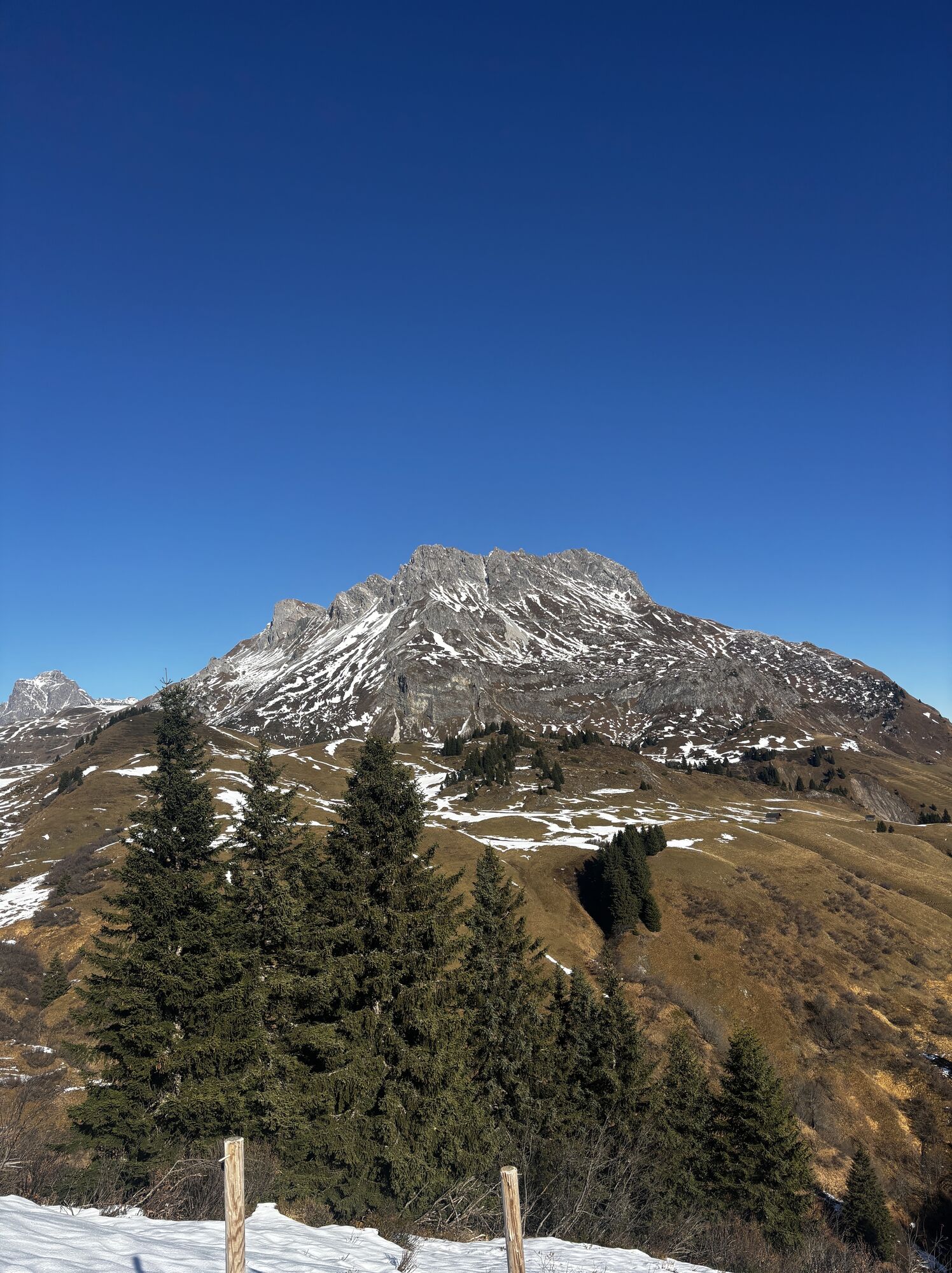
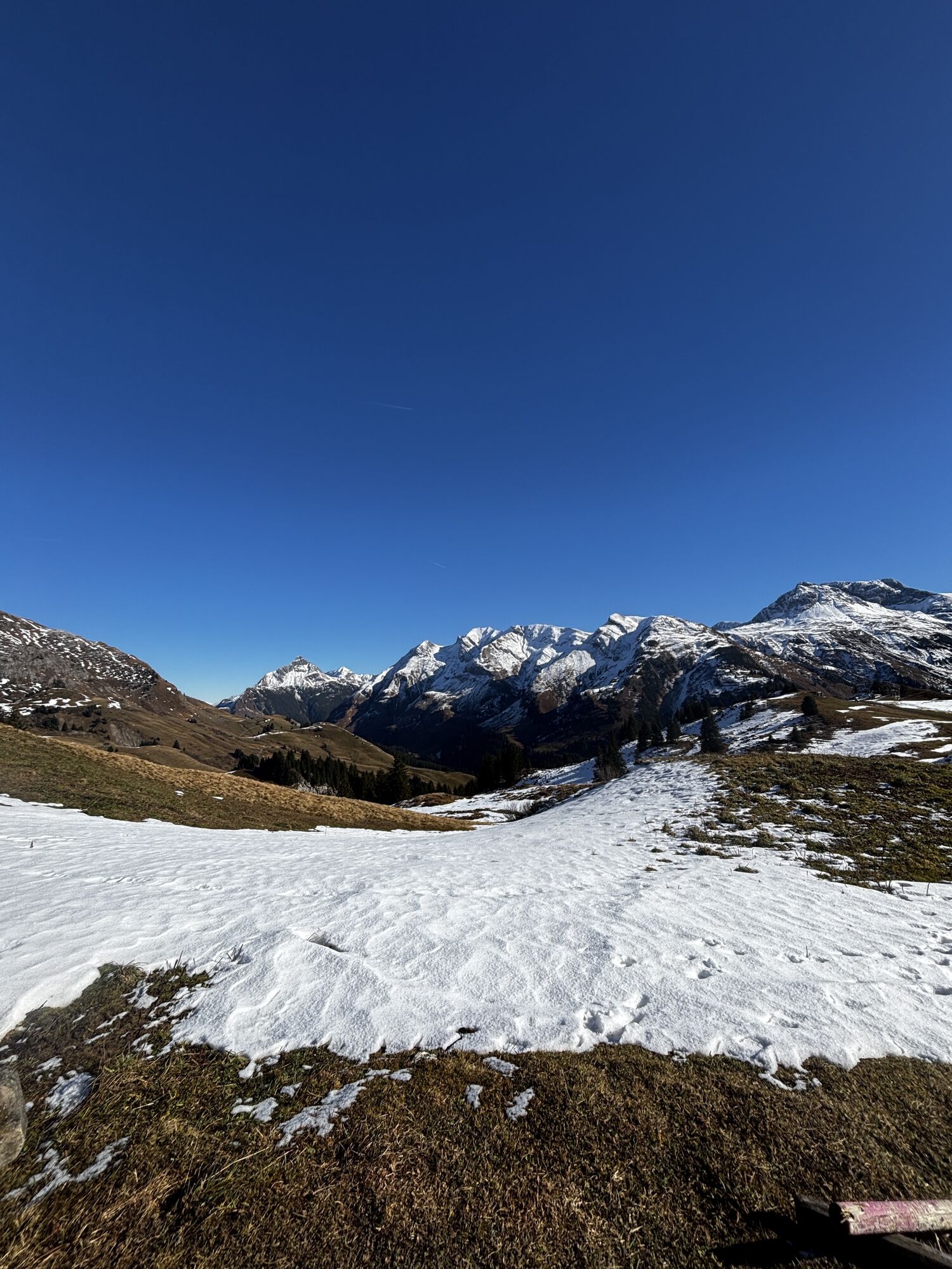
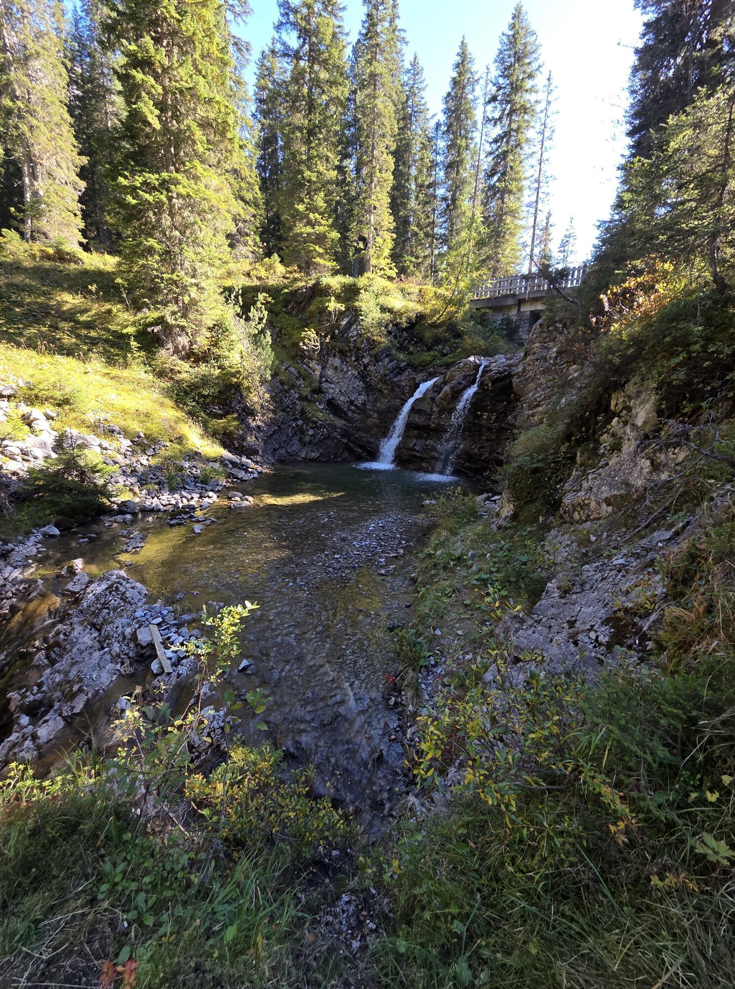
Hike: Formarinsee - Freiburger Hütte - Steinernes Meer - Formarinsee
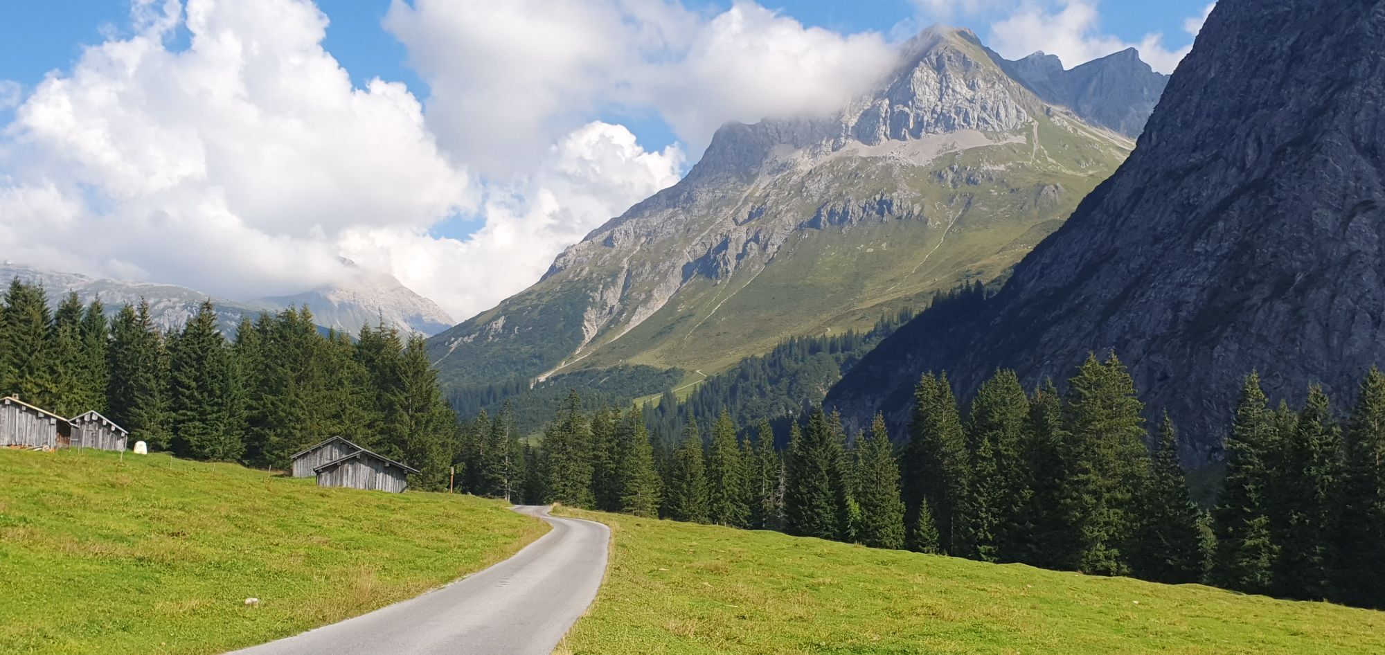
Bike: Formarinsee - Zug - Lech...
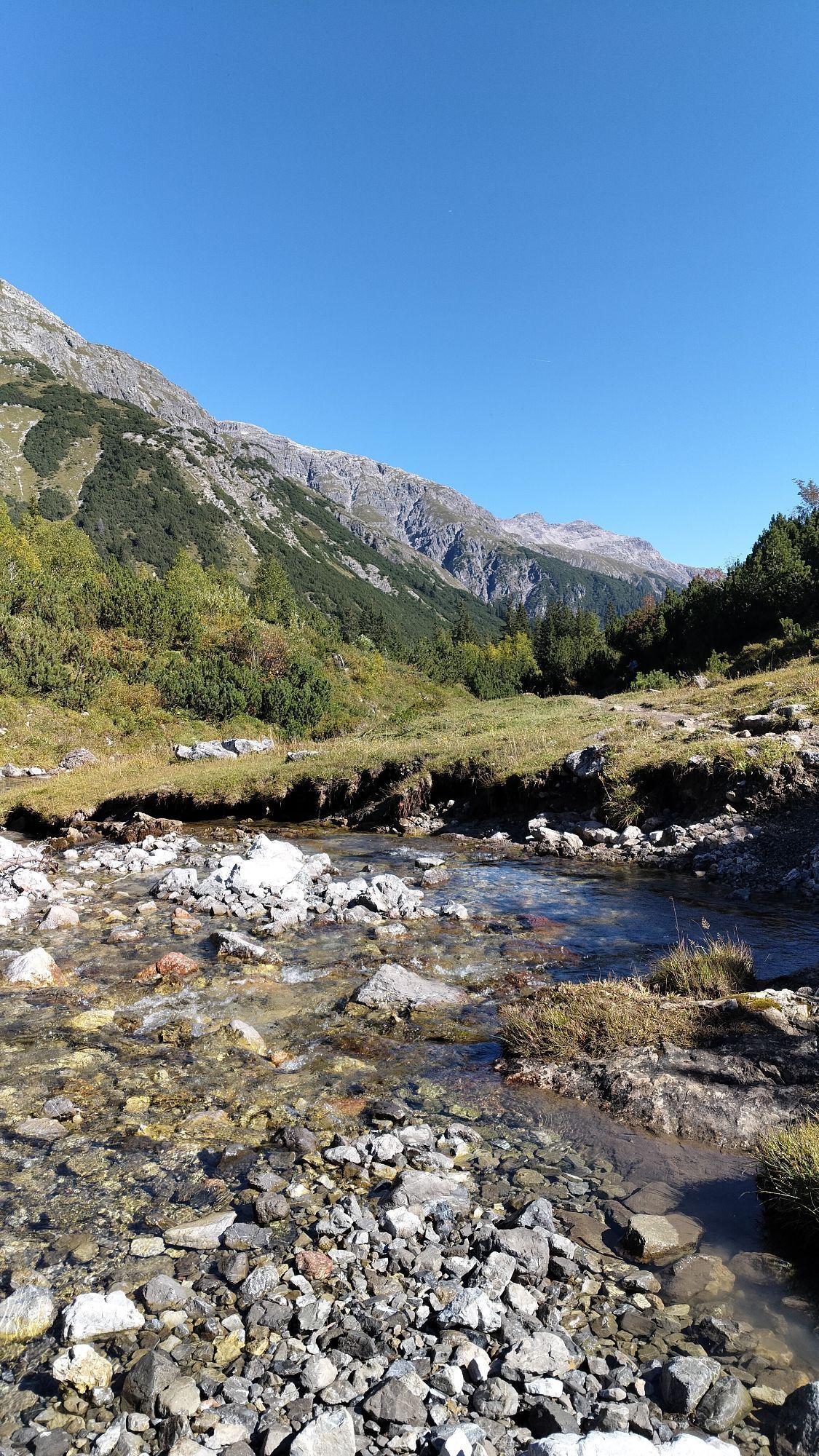
Tourenverlauf.
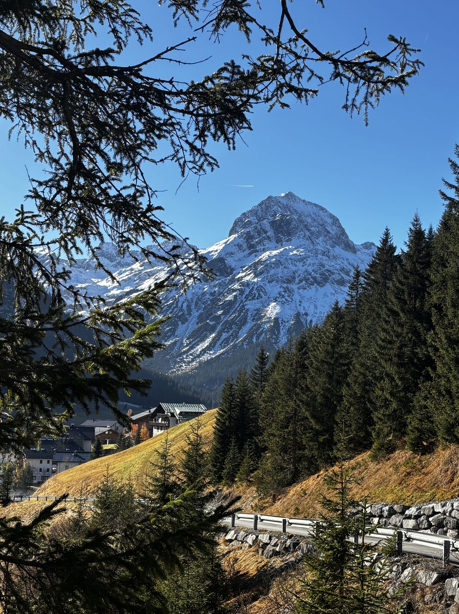
Bike: Dorfplatz Schröcken - Auenfeld - Auenfeldsattel - Oberlech - Lech - Zug - Formarinsee
Hike: Formarinsee - Freiburger Hütte - Steinernes Meer - Formarinsee
Bike: Formarinsee - Zug - Lech - mit dem Bus nach Warth-Schröcken
oder
Bike: Dorfplatz Warth - Parzelle Wolfegg - Alte Salzstraße - Hochtannbergpass - Salobersattel - Auenfeld - Auenfeldsattel - Oberlech - Lech - Zug - Formarinsee
Hike: Formarinsee - Freiburger Hütte - Steinernes Meer - Formarinsee
Bike: Formarinsee - Zug - Lech - mit dem Bus nach Warth-Schröcken
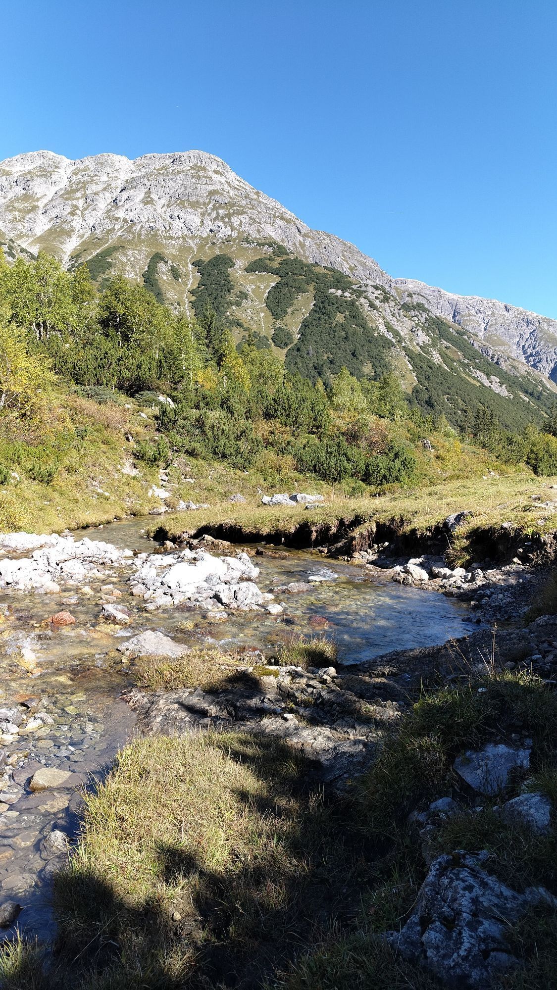
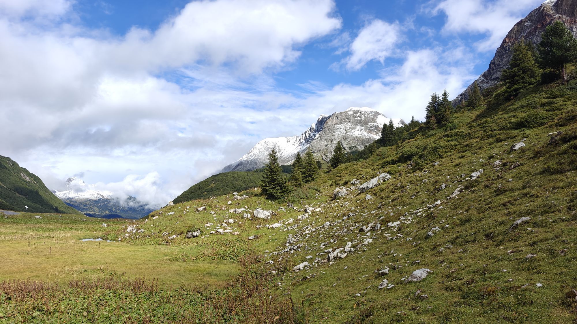
Tourenverlauf.
Bike: Dorfplatz Schröcken - Auenfeld - Auenfeldsattel - Oberlech - Lech - Zug - Formarinsee
Hike: Formarinsee - Freiburger Hütte - Steinernes Meer - Formarinsee
Bike: Formarinsee - Zug - Lech - mit dem Bus nach Warth-Schröcken
oder
Bike: Dorfplatz Warth - Parzelle Wolfegg - Alte Salzstraße - Hochtannbergpass - Salobersattel - Auenfeld - Auenfeldsattel - Oberlech - Lech - Zug - Formarinsee
Hike: Formarinsee - Freiburger Hütte - Steinernes Meer - Formarinsee
Bike: Formarinsee - Zug - Lech - mit dem Bus nach Warth-Schröcken
Kartenmaterial bekommen Sie in den Tourismusbüros Warth und Schröcken. Oder schon vorab hier.
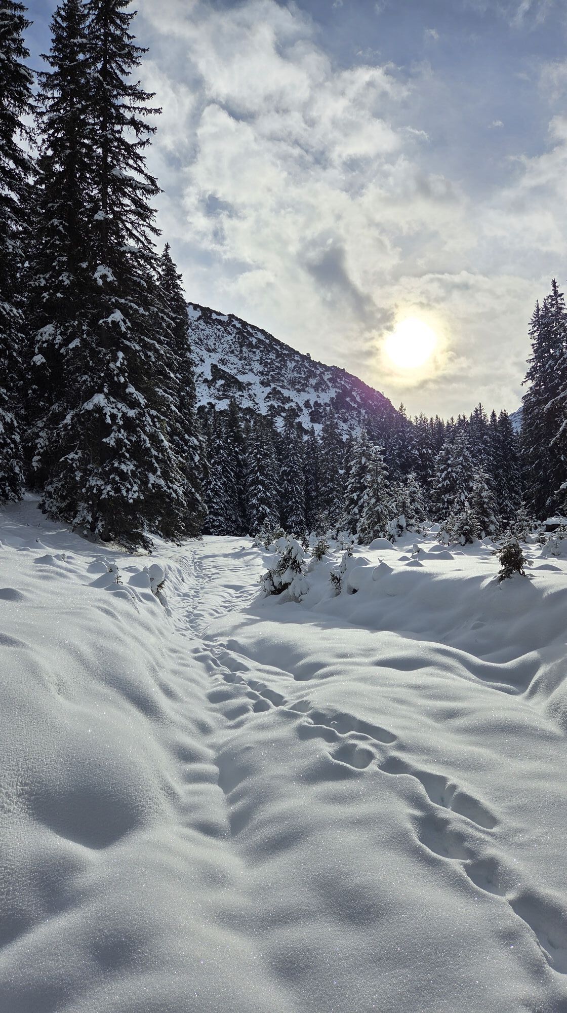
Das sollte am Berg nie fehlen.
Rucksack, Erste-Hife Set inkl. Blasenpflaster, Telefon mit Notfallnummer, Bargeld, Trinkflasche, Taschenmesser, Proviantx, Sonnenschutz bei schönem Wetter.
Notrufnummern.
140 – Alpine Notfälle österreichweit
144 – Alpine Notfälle Vorarlberg
112 – Euro-Notruf
Webové kamery z prohlídky
Flühenlift
Warth / Hotel Walserberg
Oberlech
Zürs - Seekopf
Lech am Arlberg - Hotel Goldener Berg Oberlech
Lech am Arlberg - Pension Bergland
Warth-Schröcken - Saloberarena
Warth-Schröcken - Saloberjet
Lech am Arlberg - Kriegerhornbahn
Schröcken
Ravensburger Hütte
Ravensburger Hütte
Körbersee
Warth-Schröcken - Widdersteinhütte
Schröcken - Oberboden
Zug
Lech am Arlberg
Oberlech - Pension Bergland
Lech - Wöstersattel
Schmelzhof
Chalet Anna Maria
Lech Rüfikopf
Skischule Warth
Warth
Oblíbené prohlídky v okolí
- 4,4
Circular hike through the Bärgunttal
středníTuristika 4,75 km - 4,7
Widderstein Runde von Baad
středníTuristika 15,8 km - 4,8
Biberkopf
heavyTuristika 7,70 km - 4,6
Kristberg - Wasserstubental - Silbertal
světloTuristika 13,8 km - 4,3
Circular hike through the Derratal
středníTuristika 8,11 km - 4,8
Circular hike through the Gemsteltal
světloTuristika 5,53 km - 4,5
Walmendingerhorn - Schwarzwasserhütte - Auenhütte
středníTuristika 10,8 km - 3,3
Dalaas - Freiburgerhütte
středníTuristika 8,40 km - 4,0
Stuben - Stubner See - Kaltenberghütte - Stuben
středníTuristika 9,90 km - 4,9
Braunarlspitze
heavyTuristika 16,6 km

Pěší turistika a stopování


Nenechte si ujít nabídky a inspiraci pro vaši příští dovolenou
Vaše e-mailová adresa byl přidán do poštovního seznamu.