







Practice via ferrata Wiesbadener Hut

Úroveň obtížnosti: B/C
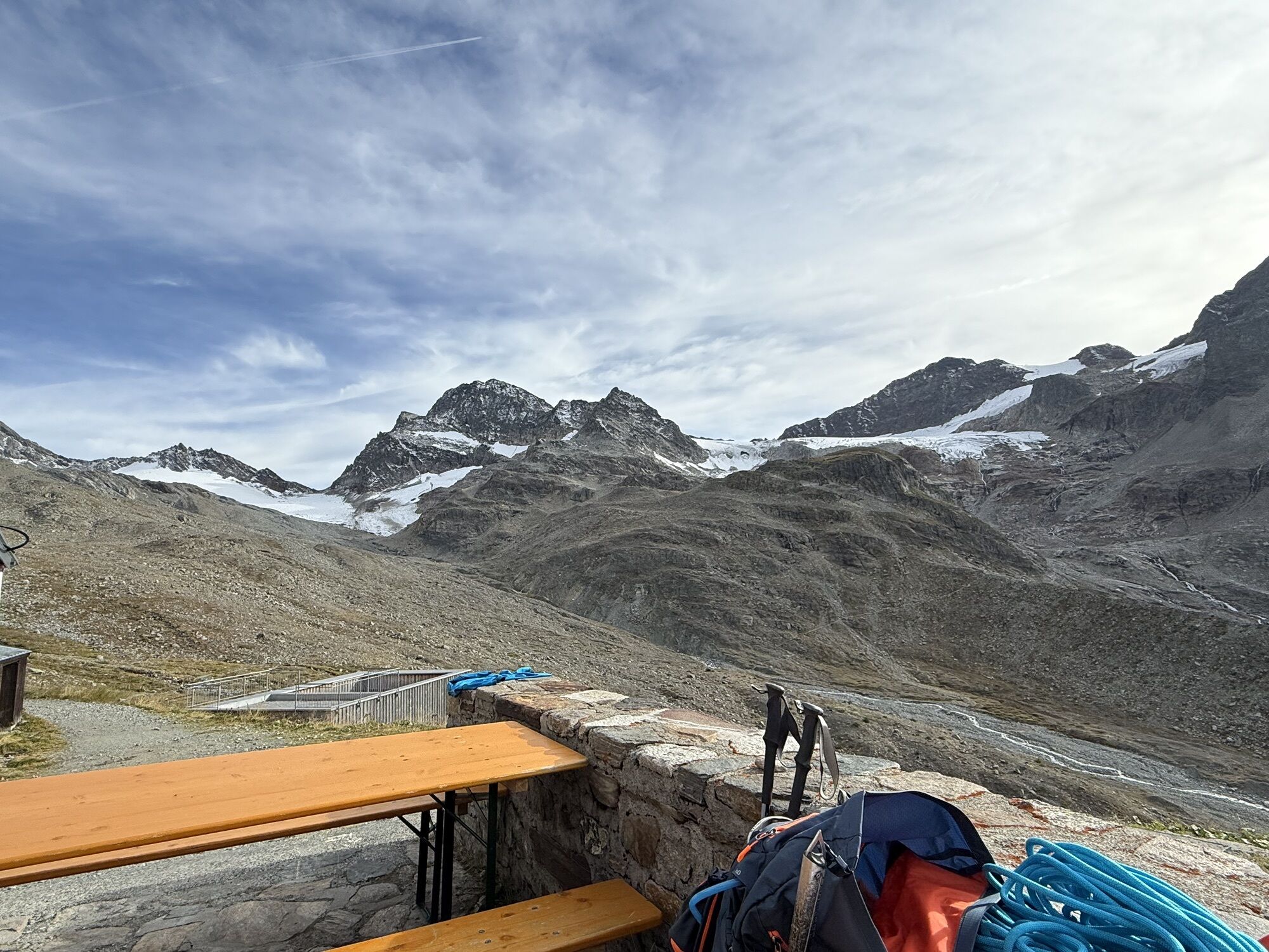
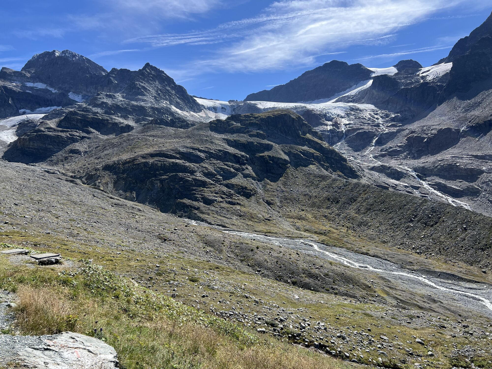
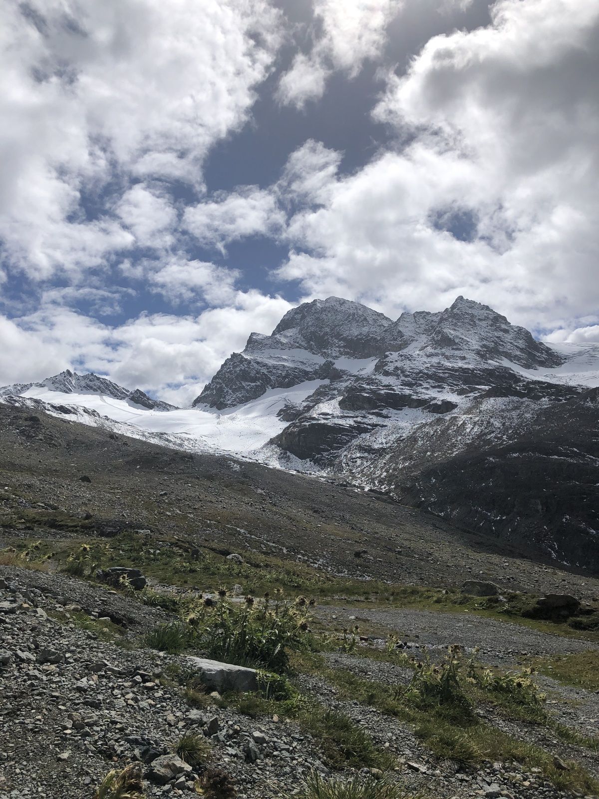
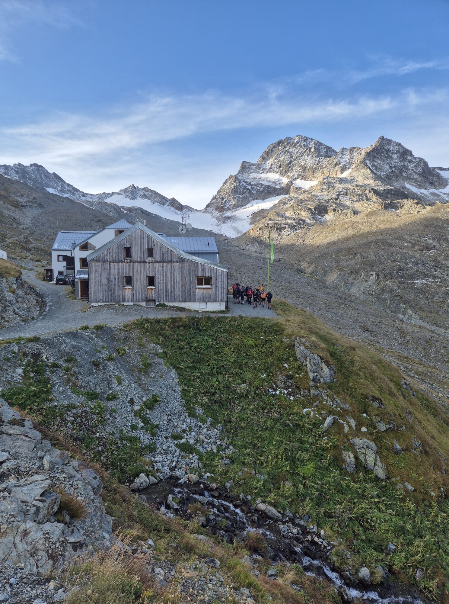
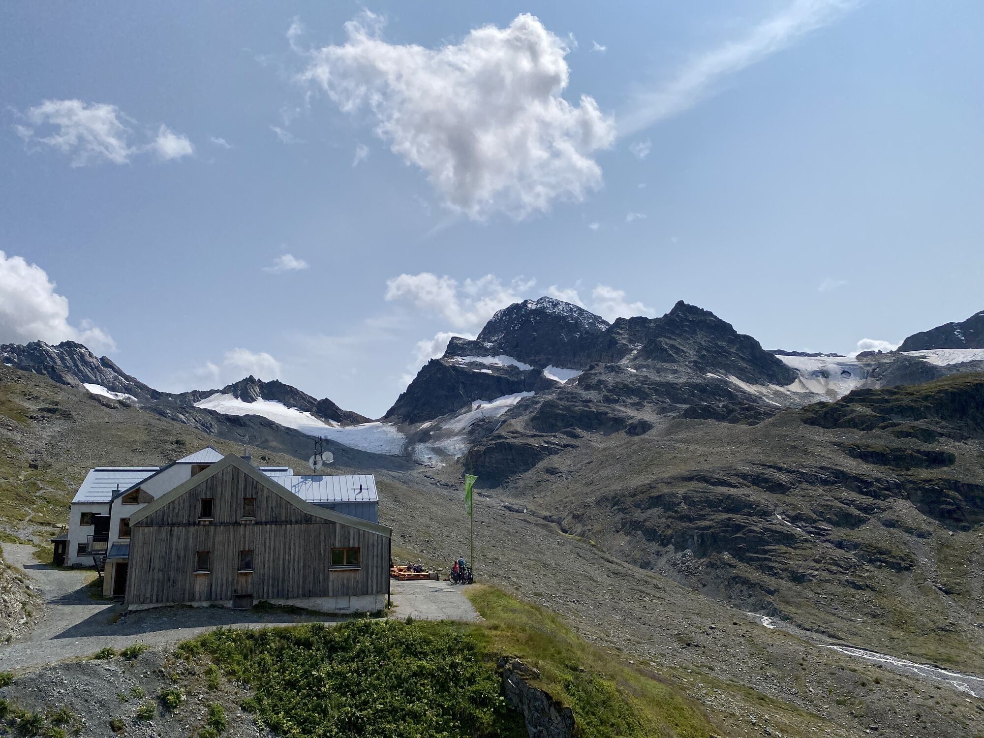
Until 2020, there was no adequate climbing infrastructure. Only a handful of poorly equipped climbing routes, as well as two outdated practice via ferratas, led a modest existence in the climbing garden...
Until 2020, there was no adequate climbing infrastructure. Only a handful of poorly equipped climbing routes, as well as two outdated practice via ferratas, led a modest existence in the climbing garden near the hut.
Fortunately, this has now changed. The DAV Wiesbaden Section together with the specialist for climbing infrastructure, bolting.eu, have implemented an attractive development concept. Thus, we can offer our guests the topic "Climbing Wiesbadener Hut" in the form of three extremely rewarding massifs for the high summer season.
First, the climbing garden near the hut with as many as 27 sport climbing routes from 3a to 7a. In addition, the two practice via ferratas (A/B as well as B/C) have been completely renewed here. Second, the so-called "Zollhüttenwändchen," a small rock wall specially equipped for training purposes. And third, the alpine sport climbing area "Grüne Kuppe." A brilliantly located rock head below the Ochsentaler Glacier (approach about 30 minutes) with 12 climbing routes from 3a to 6c. Five of these also have a second pitch.
Further information can be found on the website of the Wiesbadener Hut.
The great new infrastructure now prominently puts the hut on the climbing map. "Climbing Montafon" or "Climbing Silvretta" is now inseparably linked with the Wiesbadener Hut. Because the climbing possibilities are perfect for summer, as they are located above 2,300 m altitude. And the hut is also a perfect location for "Bike & Climb."

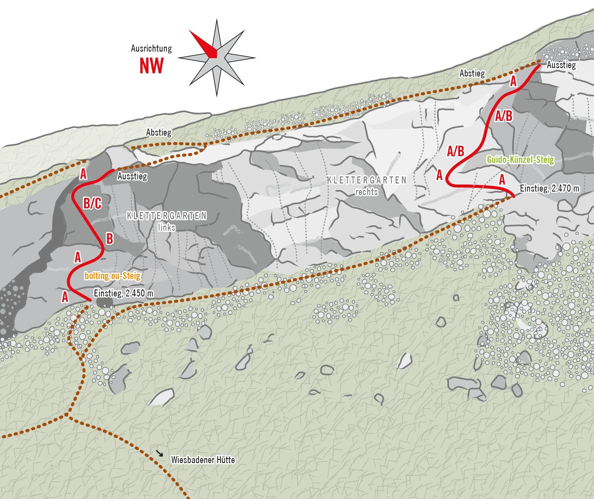
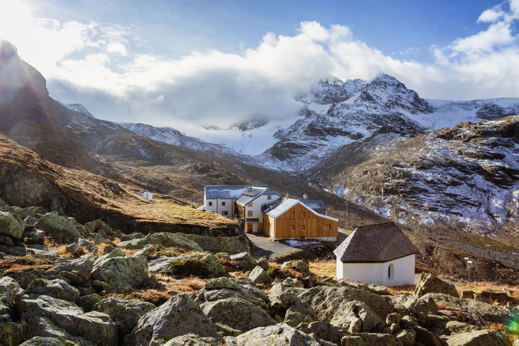

After the ascent to the Wiesbadener Hut, which takes about 2 to 2:30 hours, the climbing garden with the two via ferratas is reachable in 5 minutes.
Emergency number: 144
Euro emergency number: 112 (works with any mobile phone/network)
B/C
Take advantage of the Bike & Climb offer and the overnight stay at the Wiesbadener Hut.
Oblíbené prohlídky v okolí
-
4.9
Hiking trail Piz Buin - view
středníTuristika 14.4 km -
4.5
Madrisella summit path
středníTematická stezka 10.8 km -
4.8
Jöriseen
středníTuristika 11.3 km -
5.0
Menta Alm - Scheibenalm
světloTuristika 11.4 km -
3.2
Bielerhöhe and circular hike around the Silvretta reservoir
středníTuristika 13.1 km -
4.8
Madrisella via ferrata
heavyVia ferrata 8.52 km -
4.5
Vom Kopssee zur Breitspitze Gemeinde Gaschurn, Vorarlberg/Österreich
středníTuristika 12.5 km -
5.0
Wiegensee-Kopssee
středníTuristika 8.17 km -
4.7
Jamtal lodge
středníTuristika 19.6 km -
5.0
Großer Piz Buin (3.312m), Normalweg 2019 über Ochsentaler Gletscher
heavyVysokohorská turistika 24.1 km
Pěší turistika a stopování


Nenechte si ujít nabídky a inspiraci pro vaši příští dovolenou
Vaše e-mailová adresa byl přidán do poštovního seznamu.





