







Lünersee/Rätikon hut route "easy"
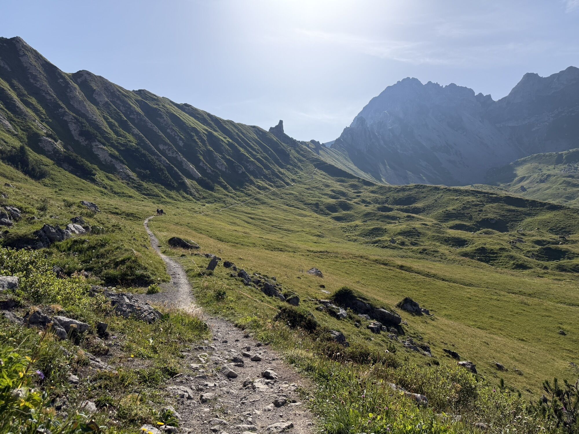
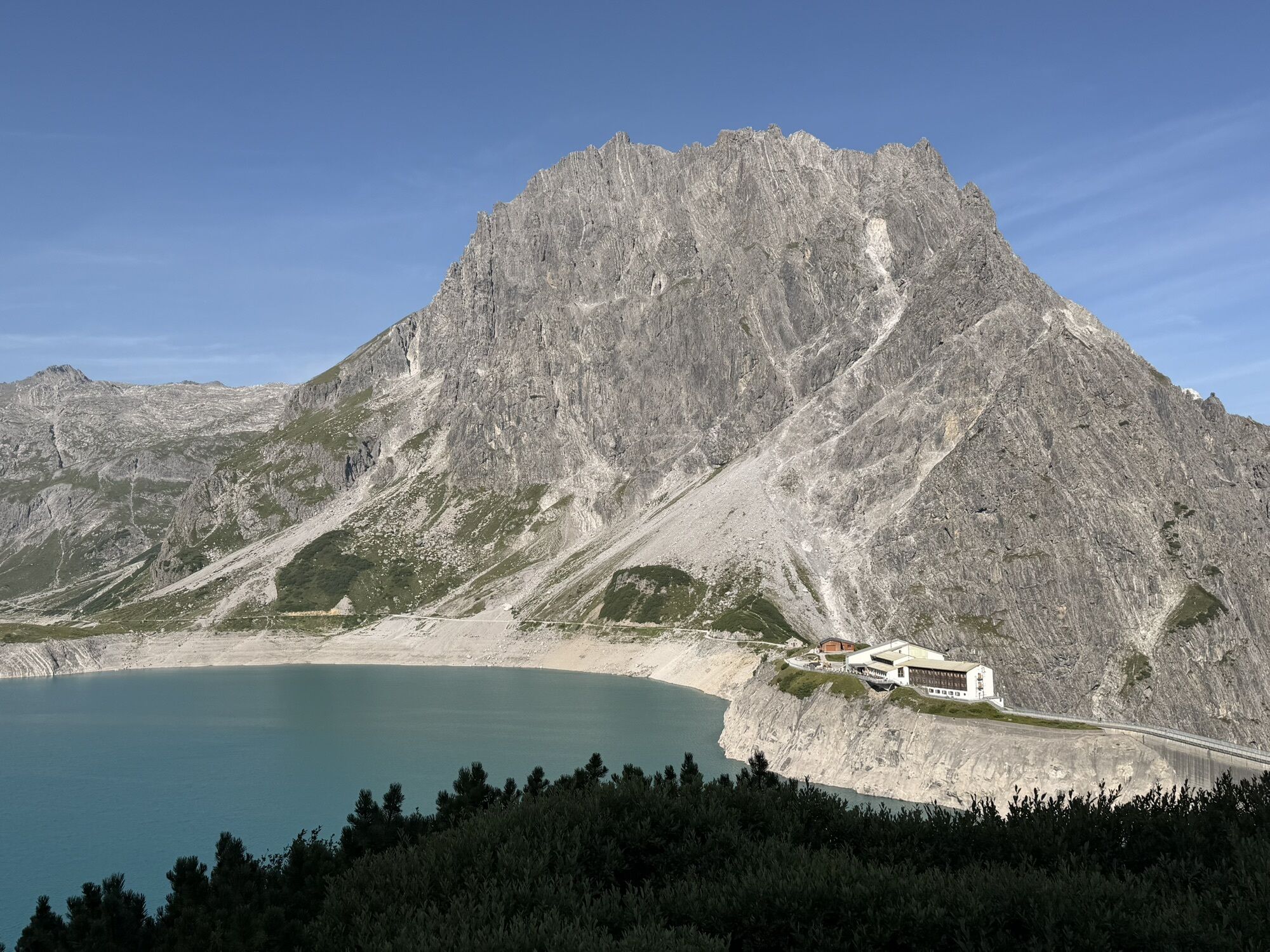
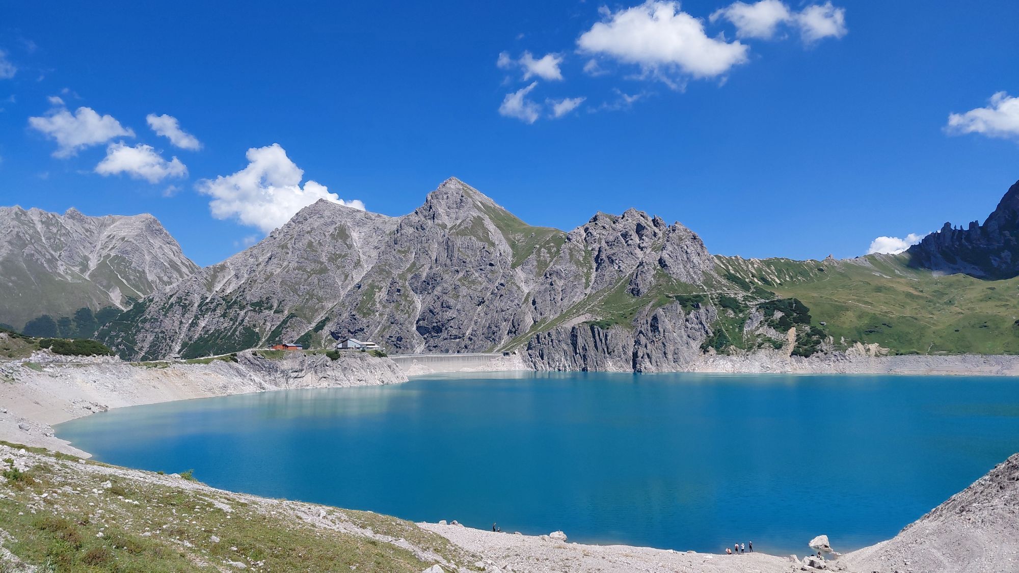
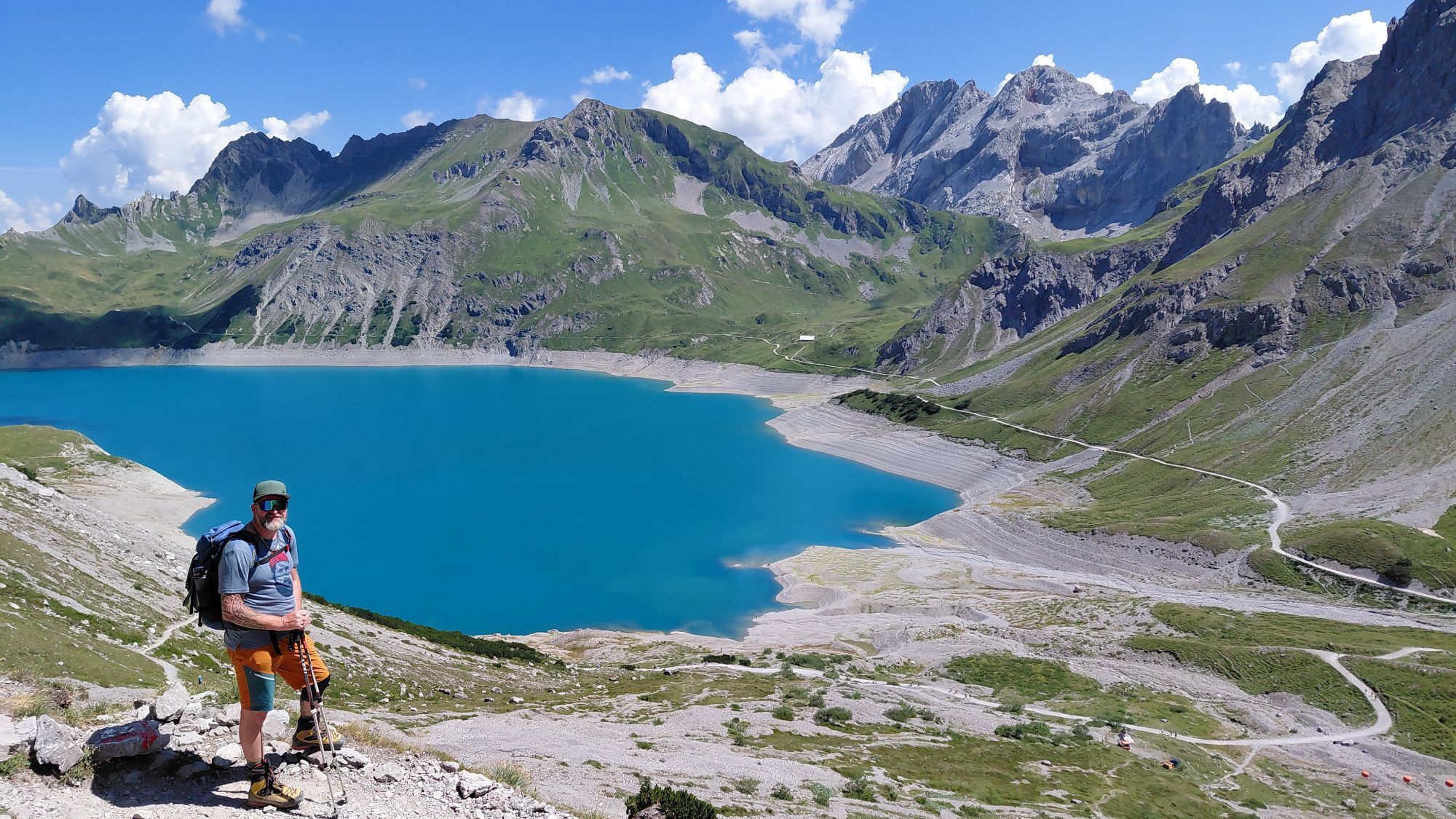
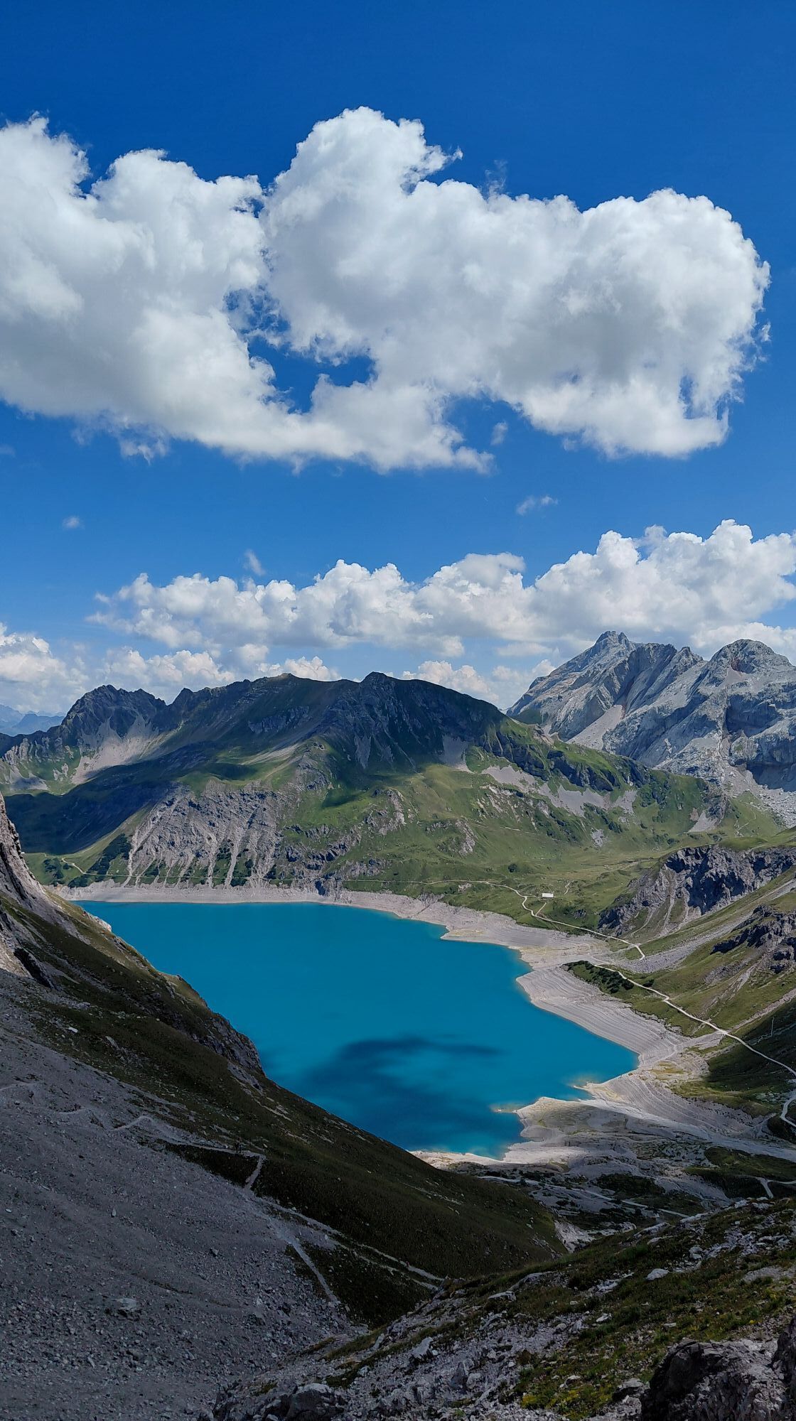
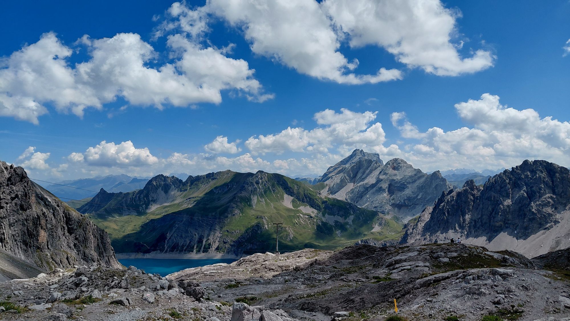
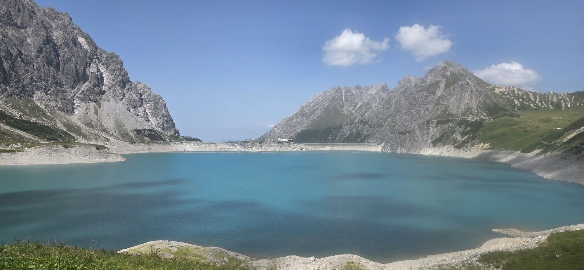
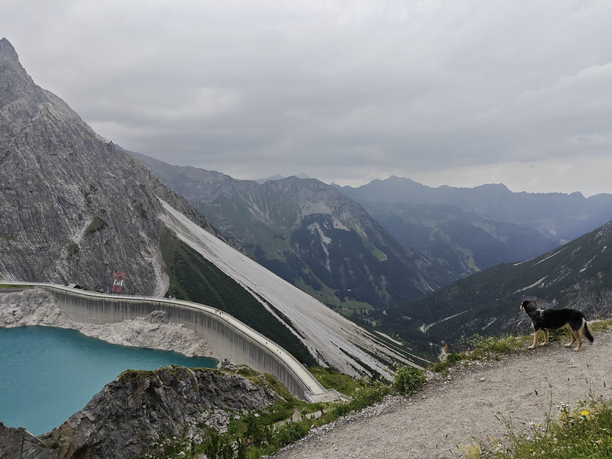
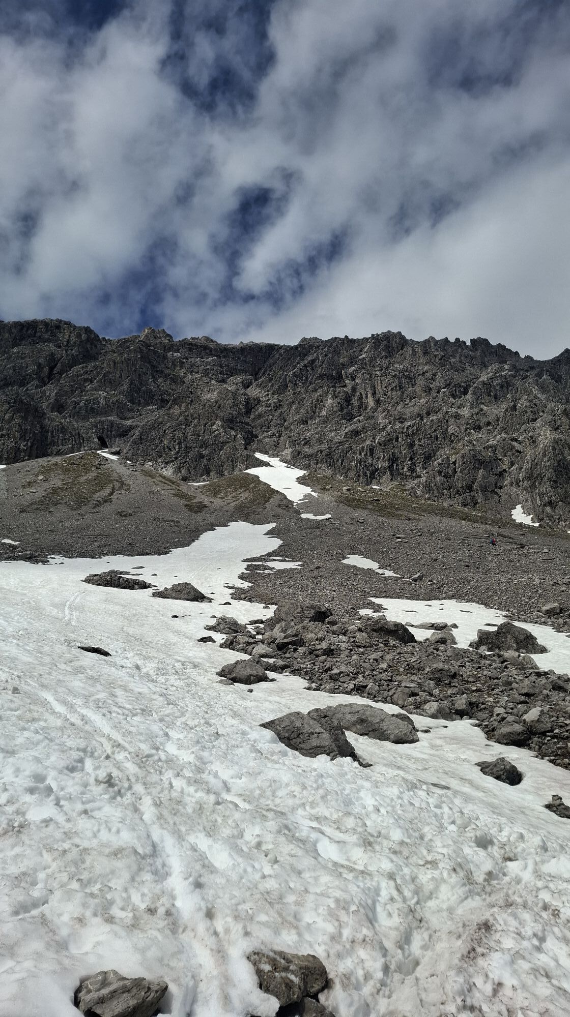
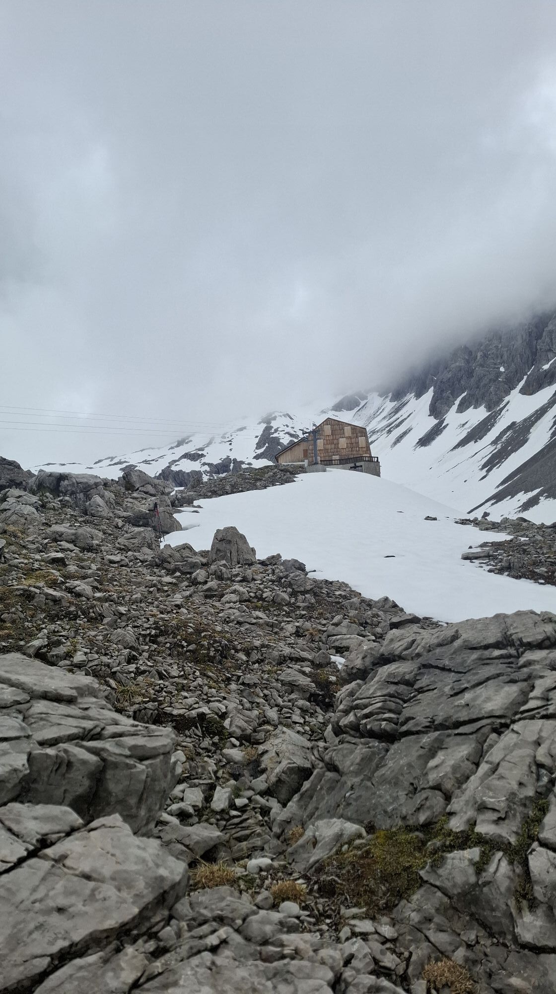
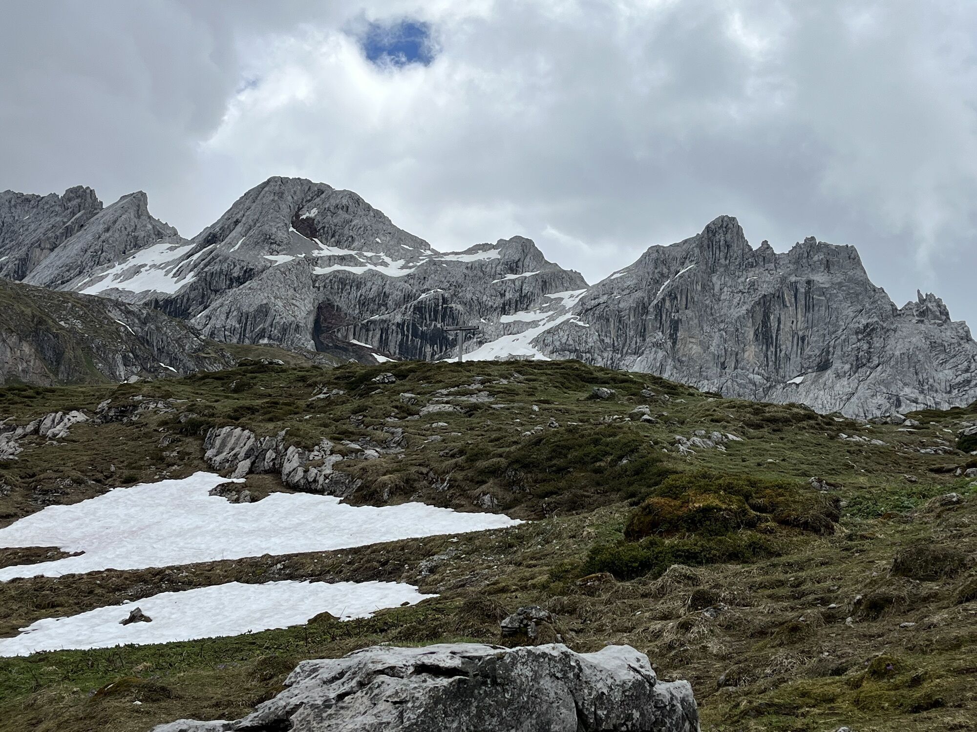
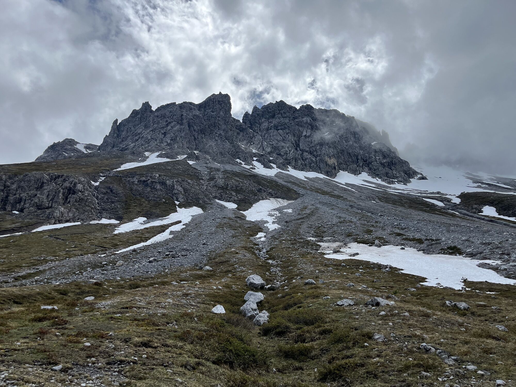
A route for mountain lovers who appreciate the natural beauty of the mountains as well as refined regional cuisine. The hiking trails lead through the varied Rätikon. The limestone rock of the Rätikon...
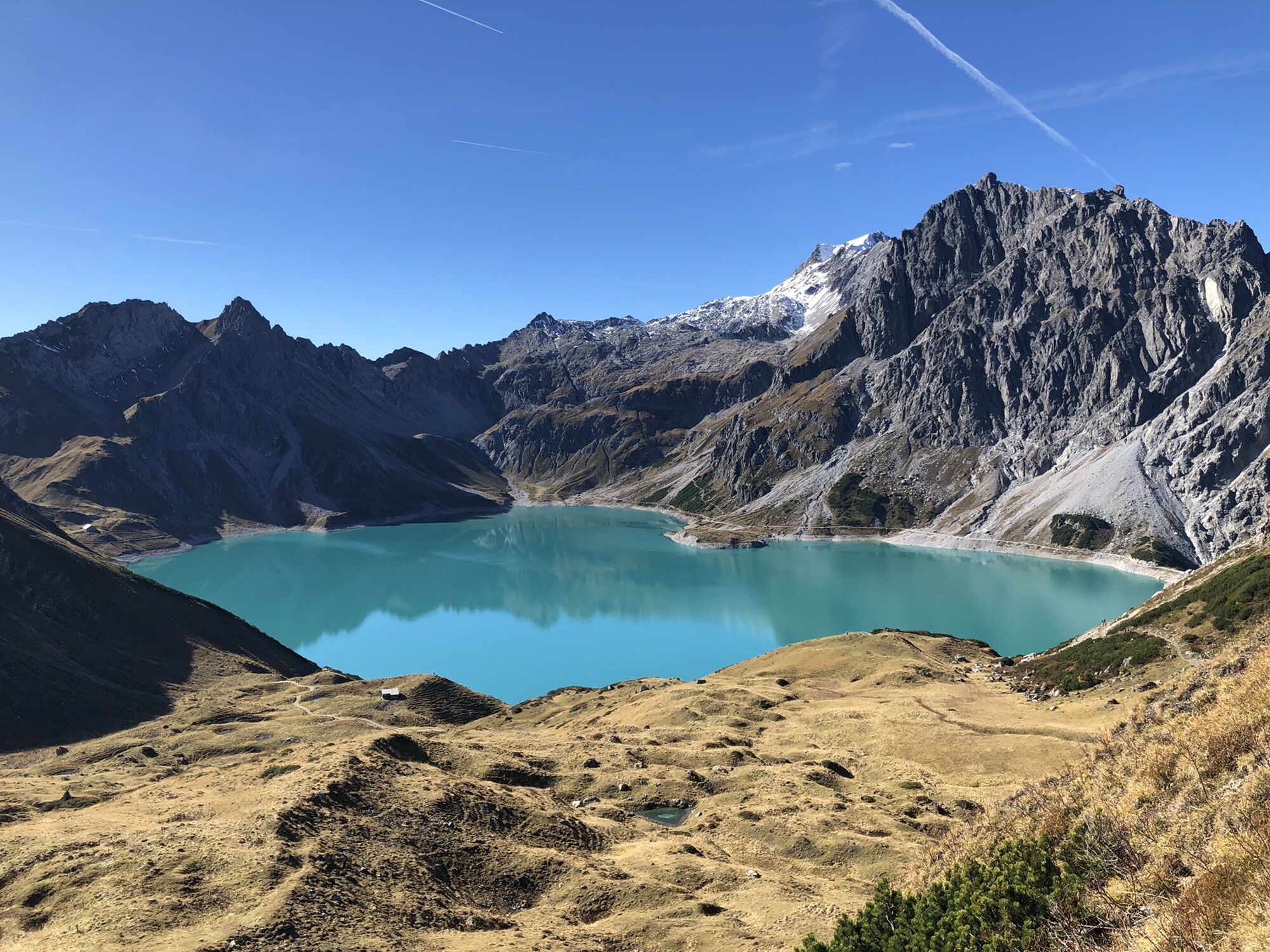
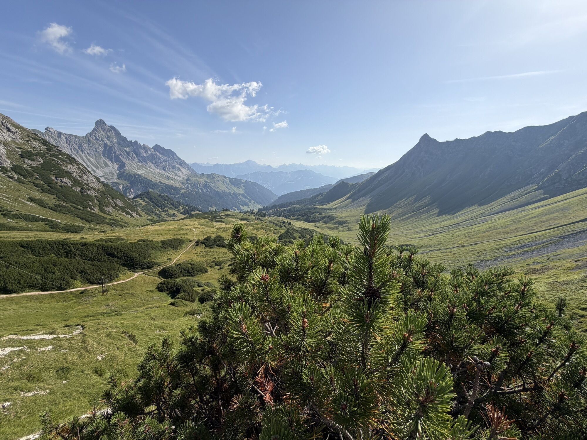
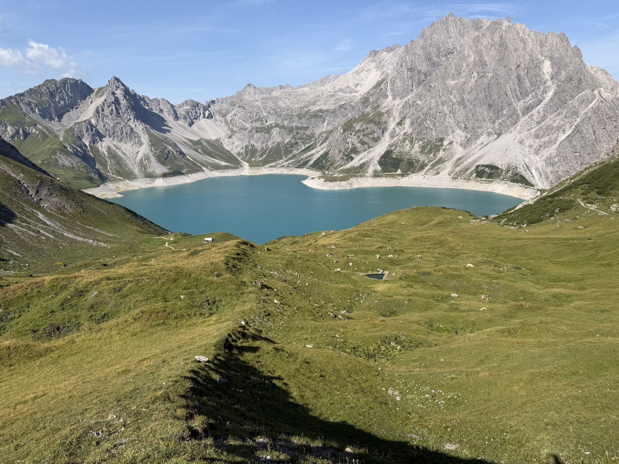
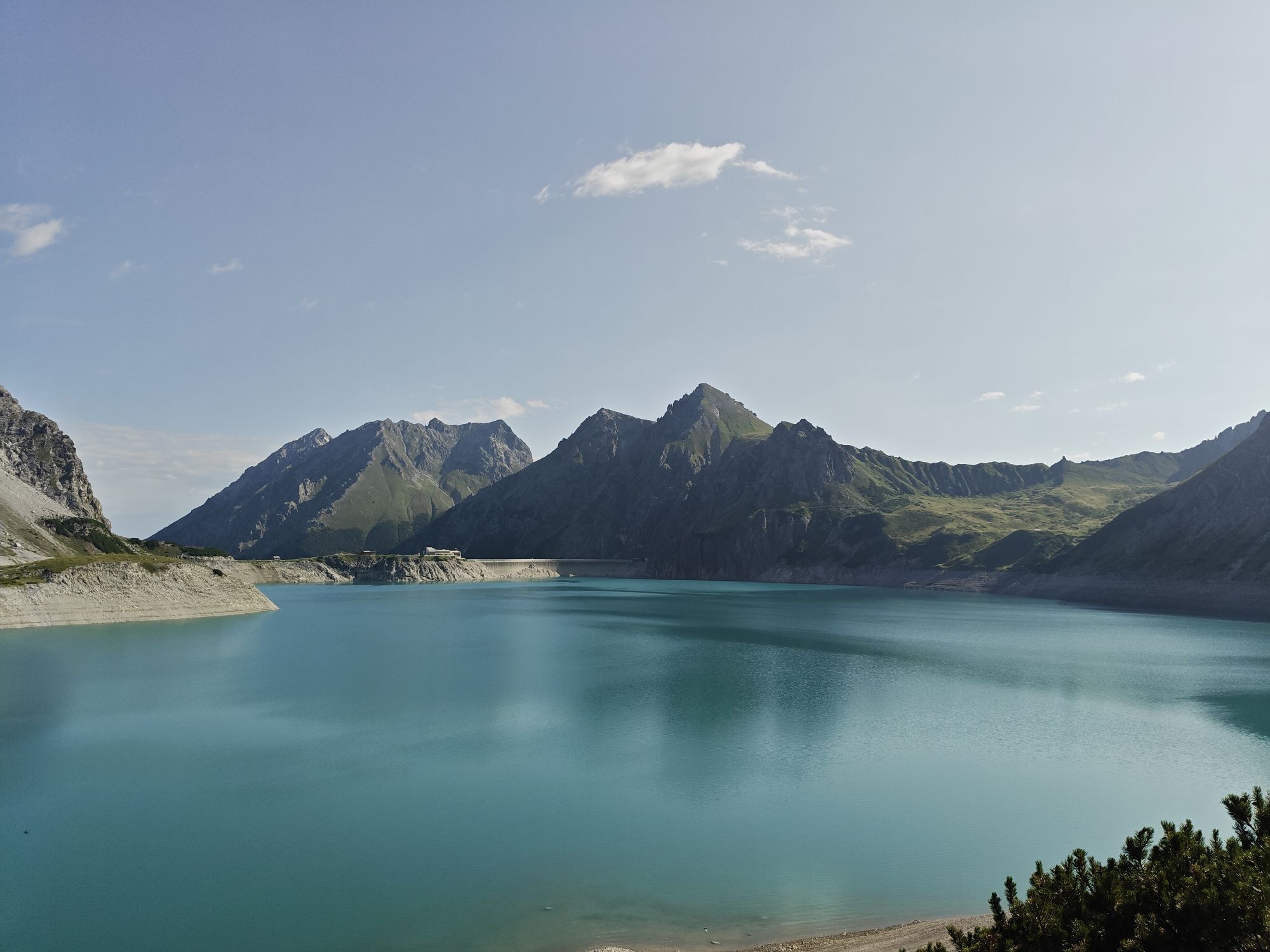
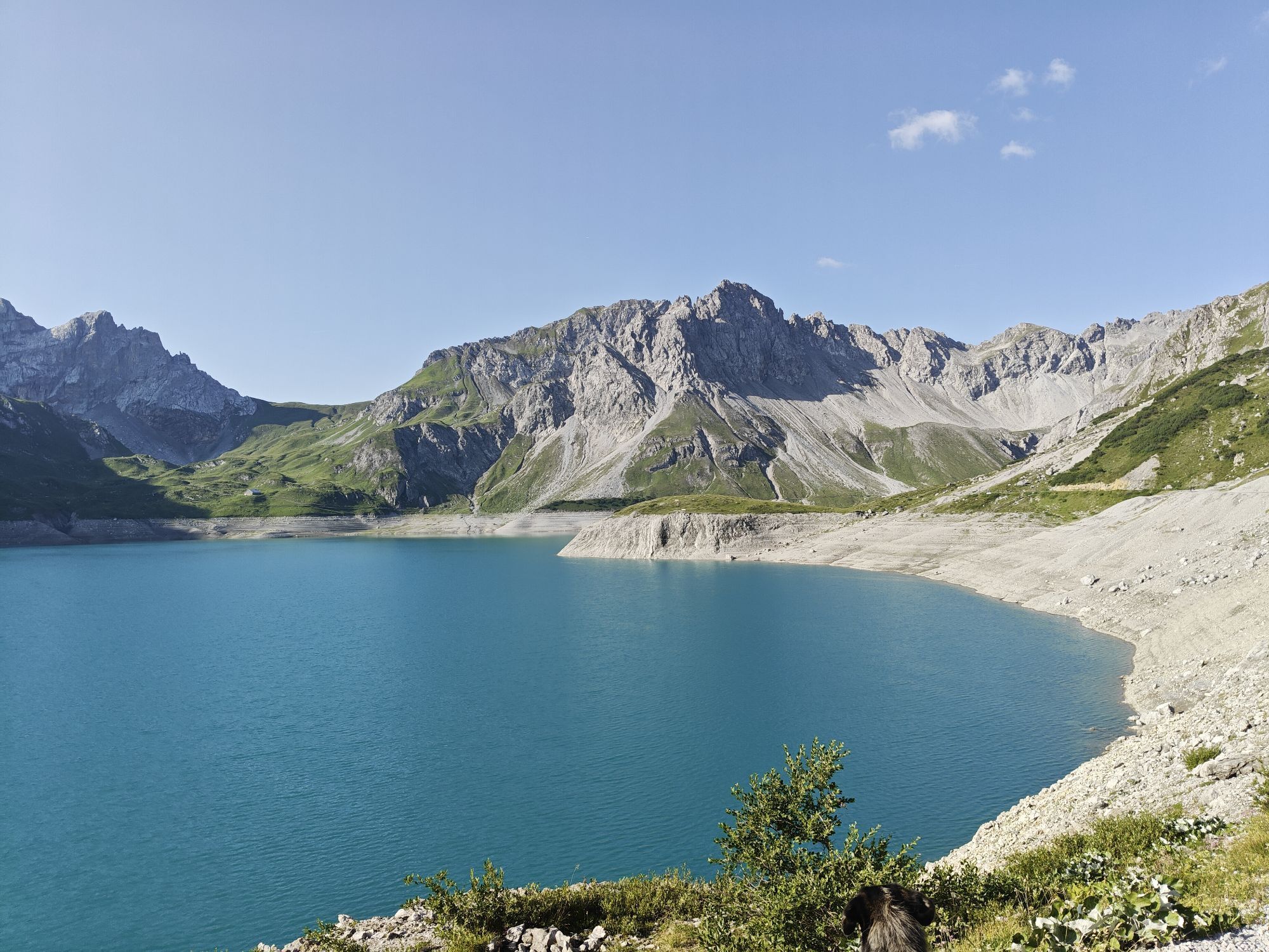
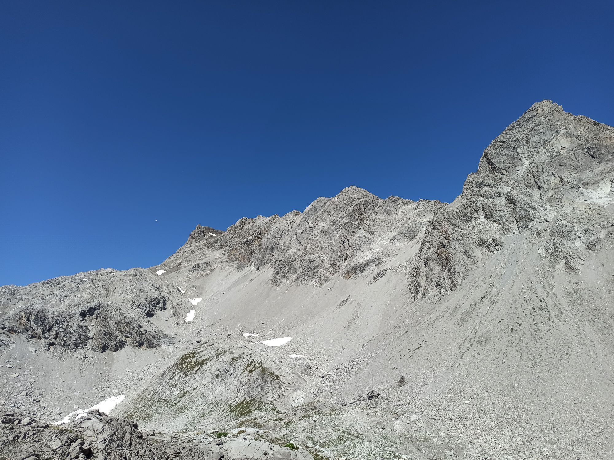
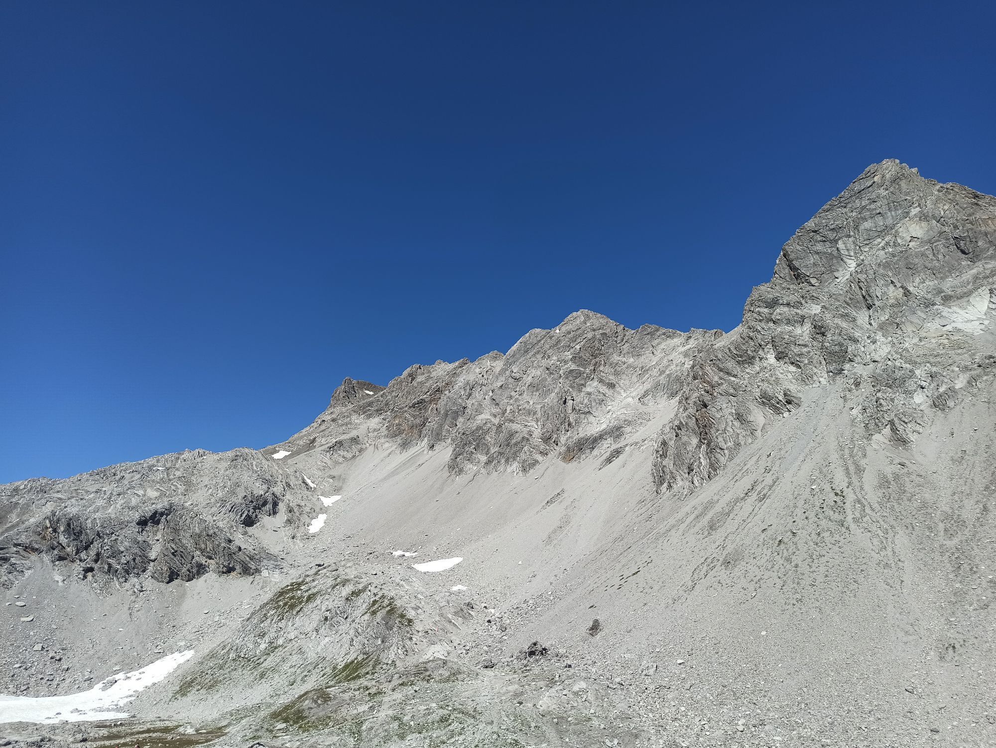
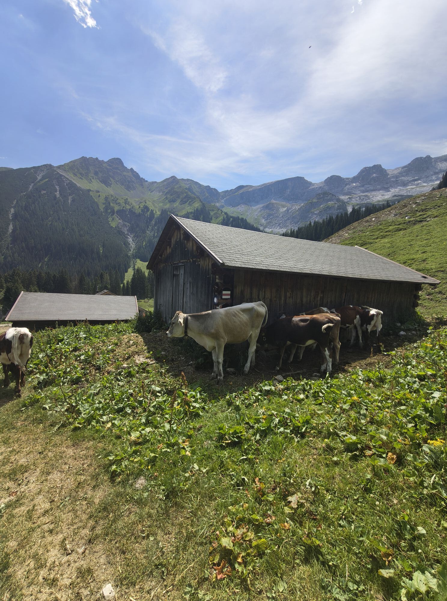
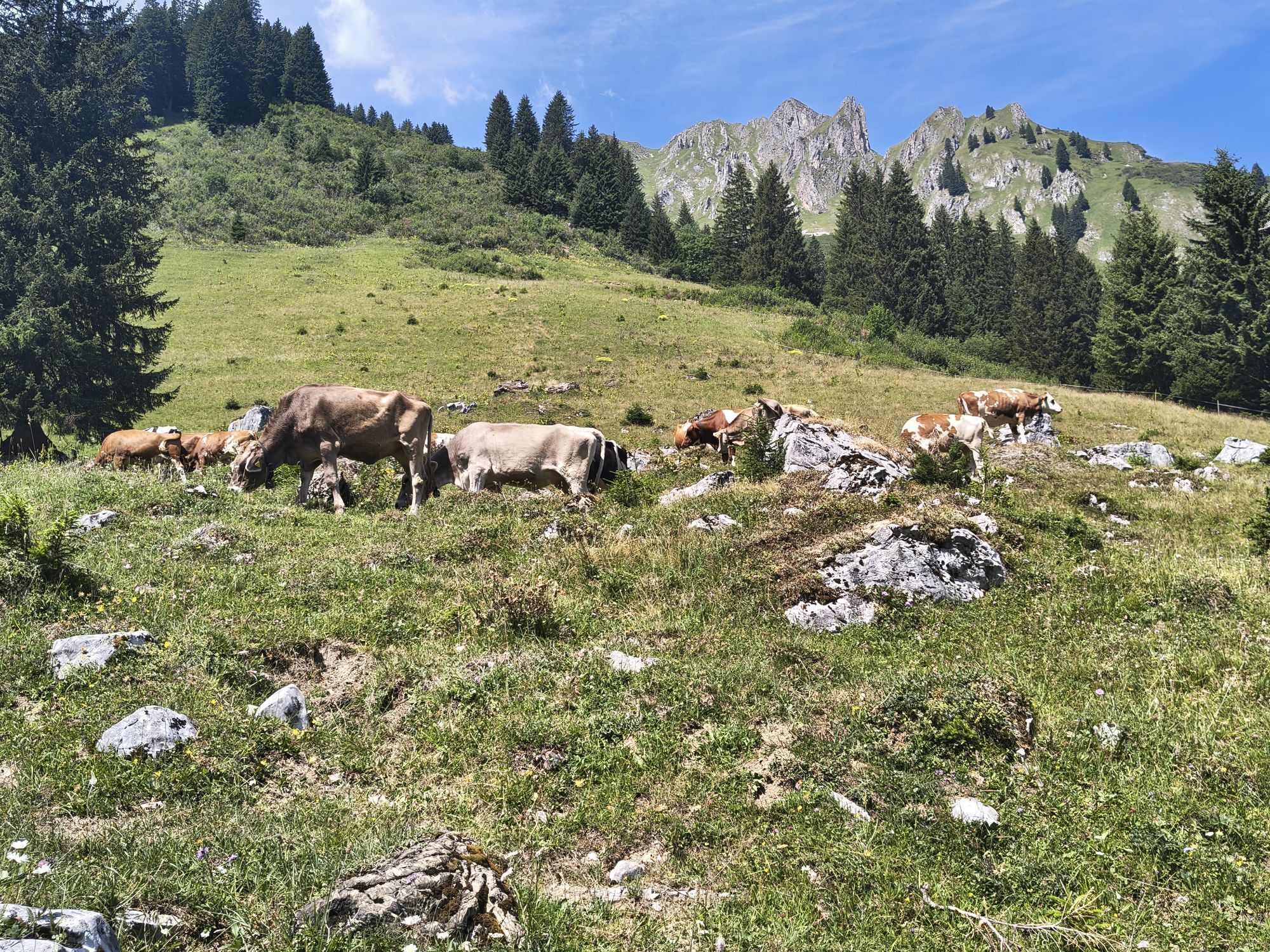
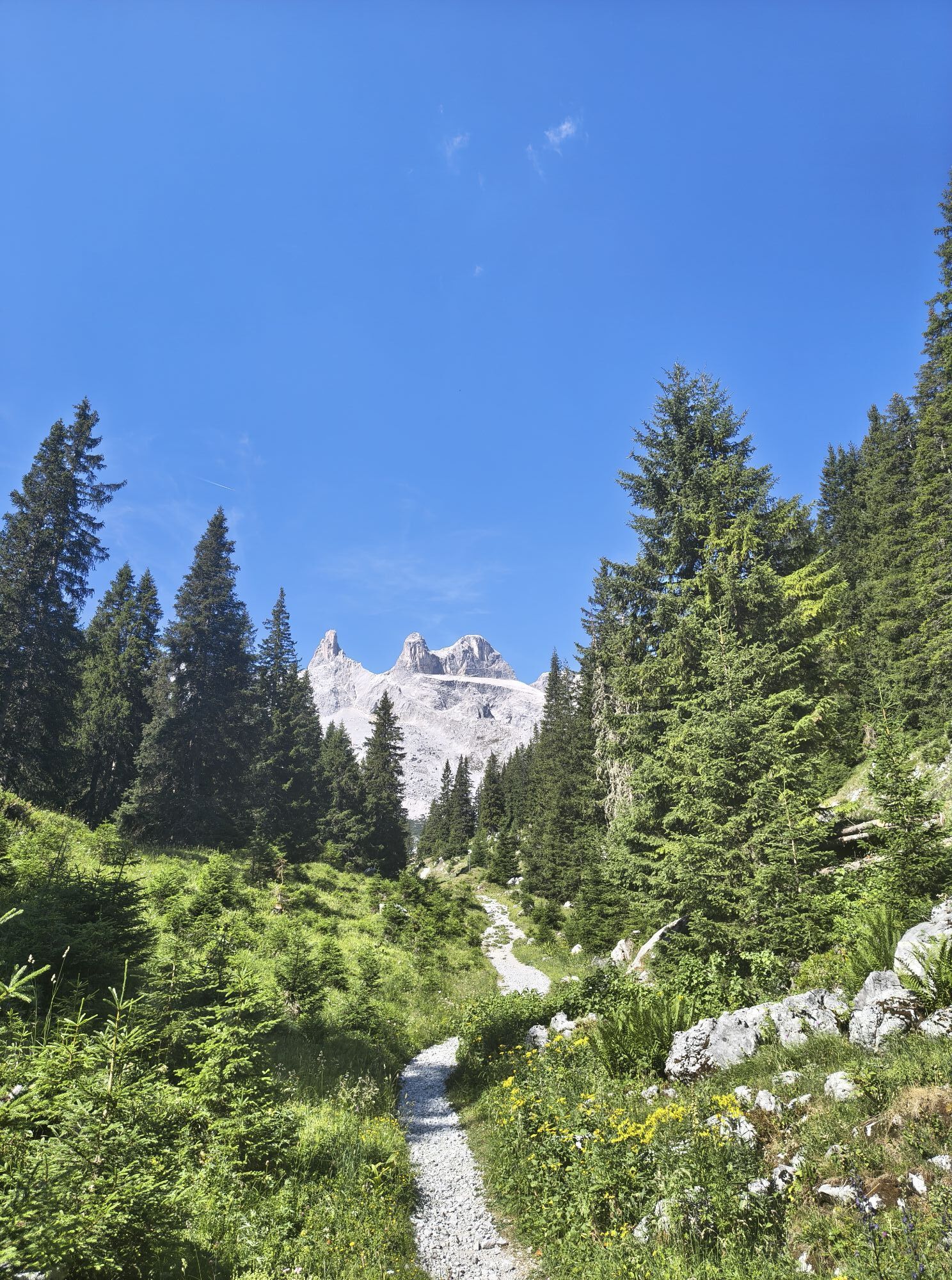
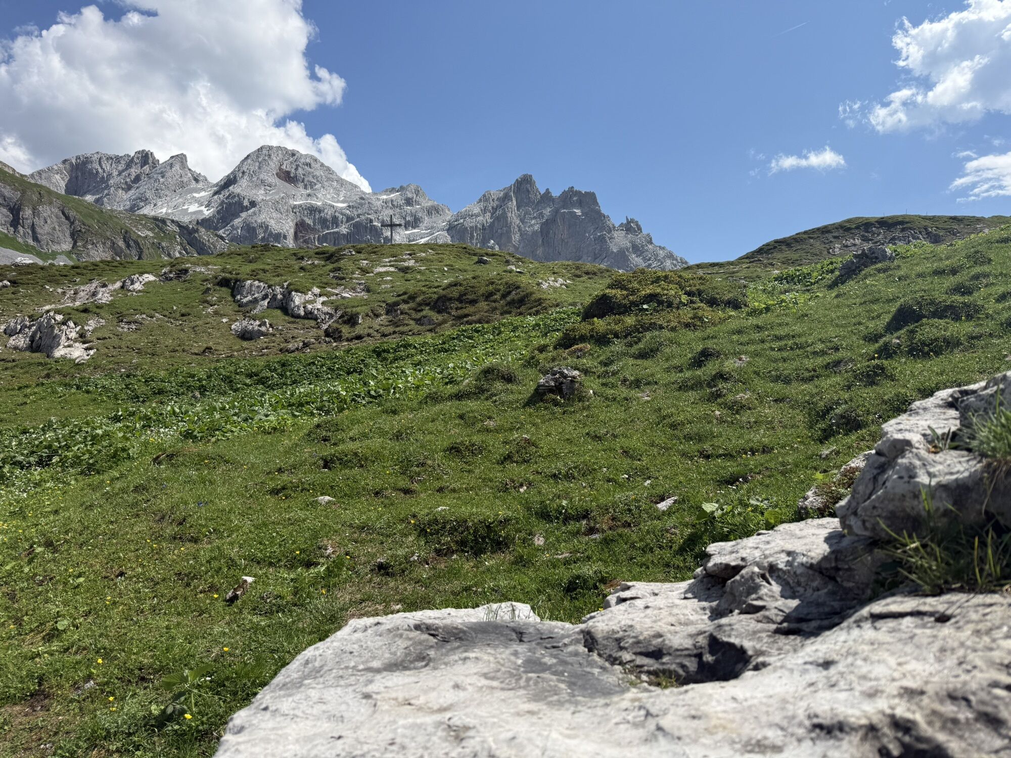
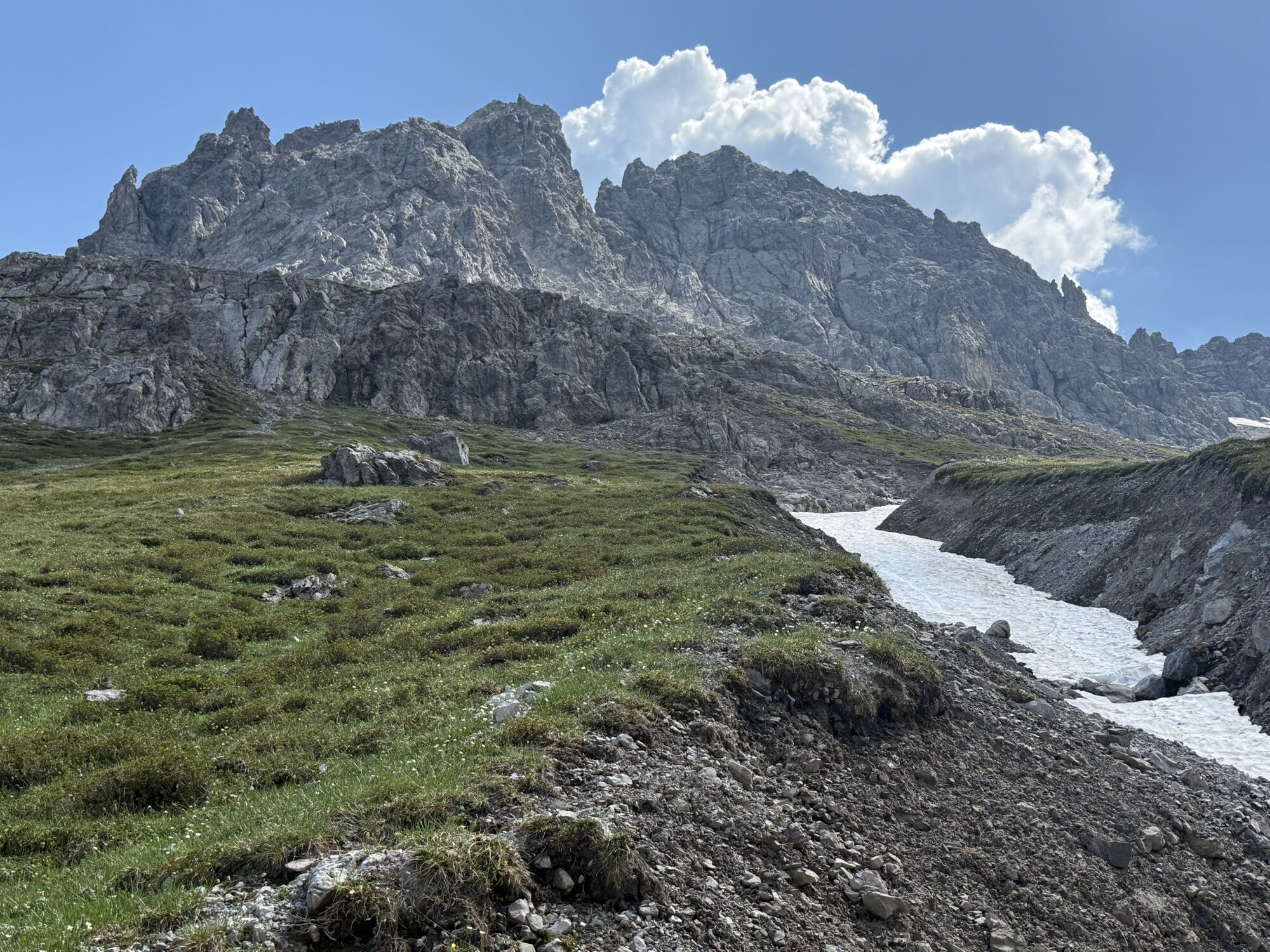
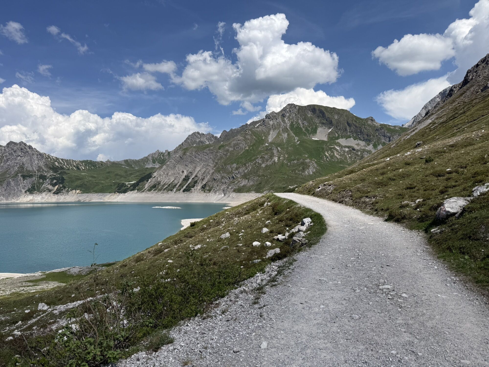
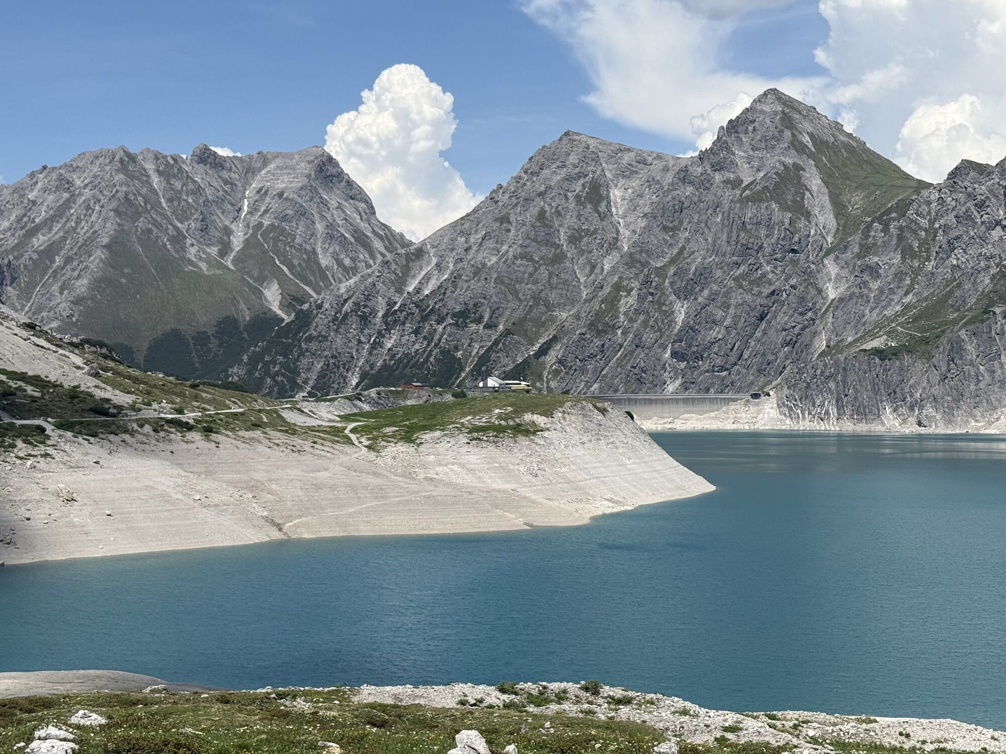
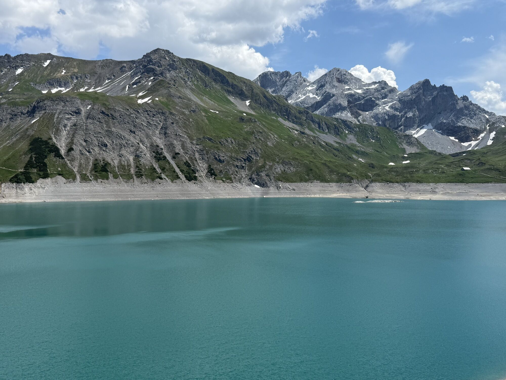
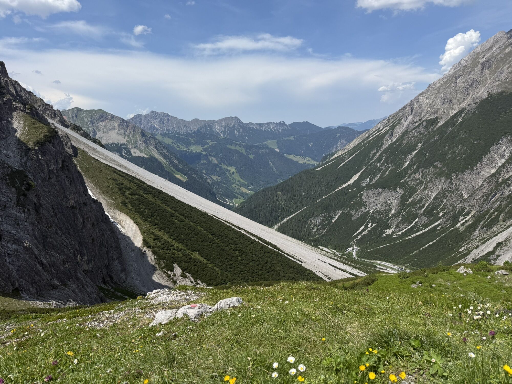
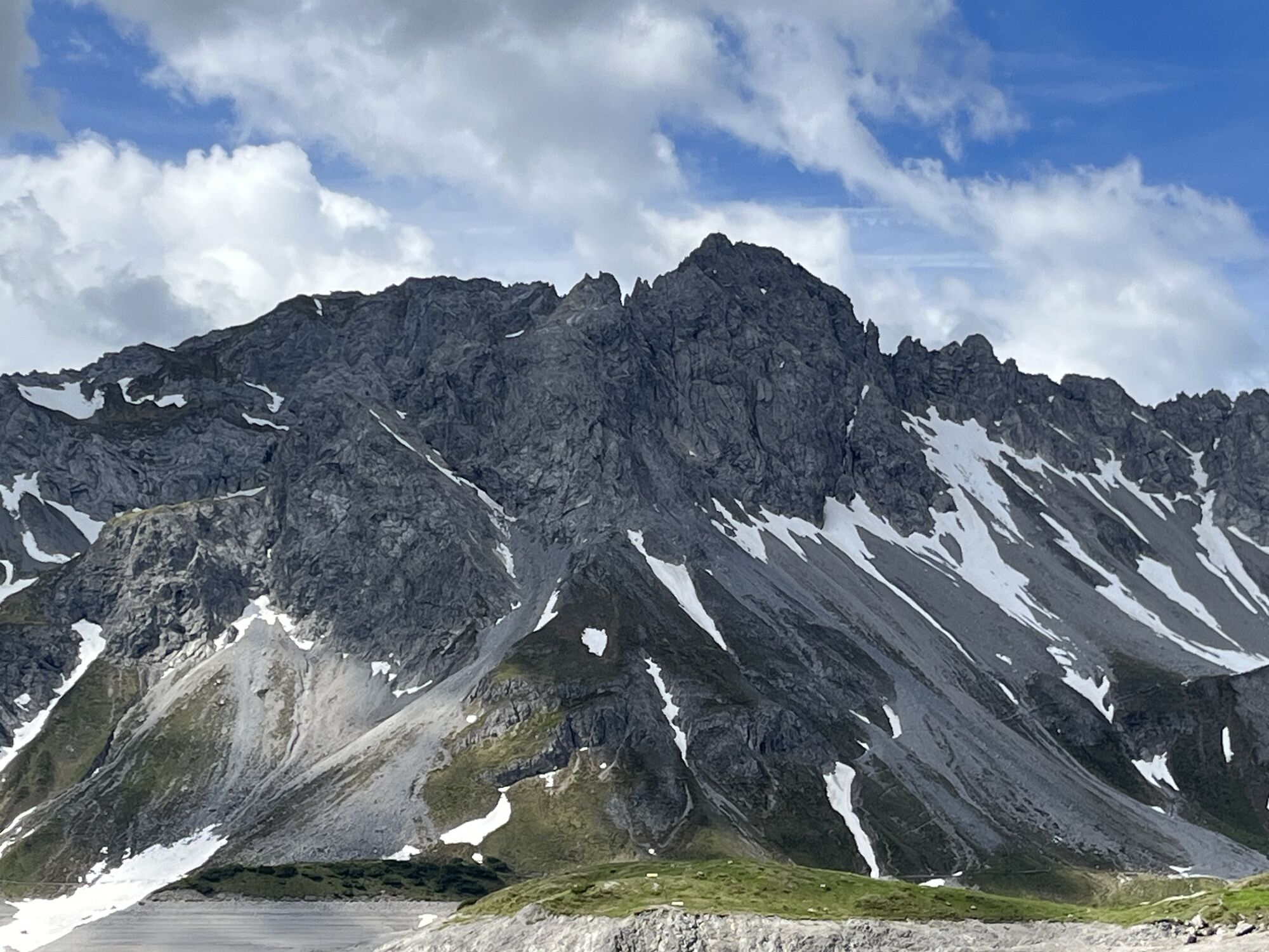
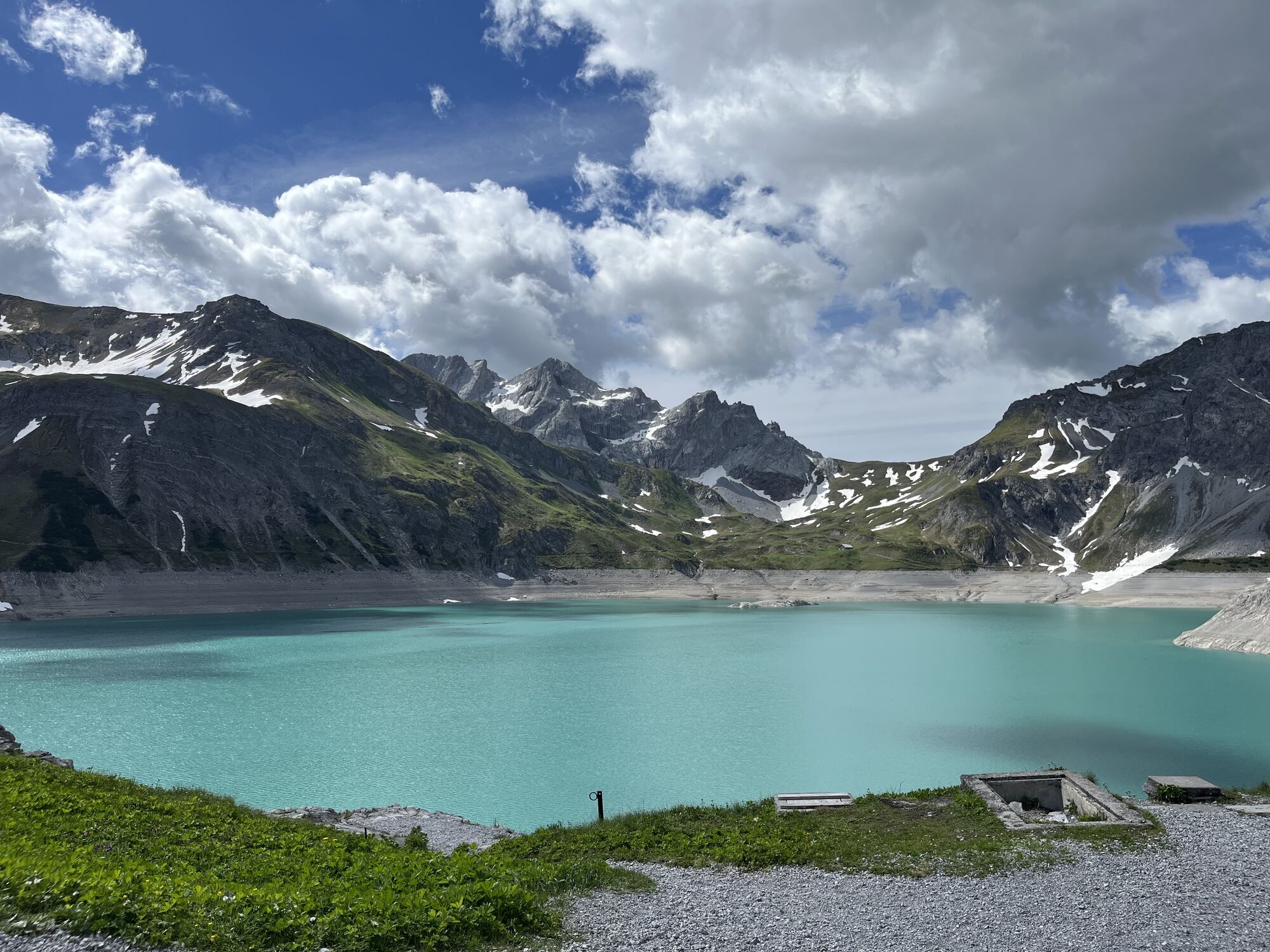
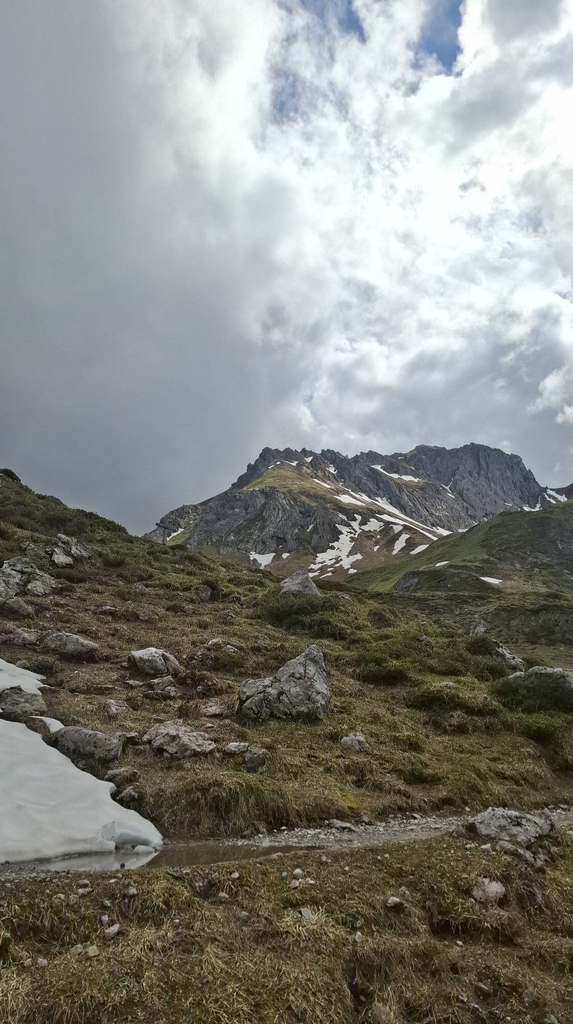
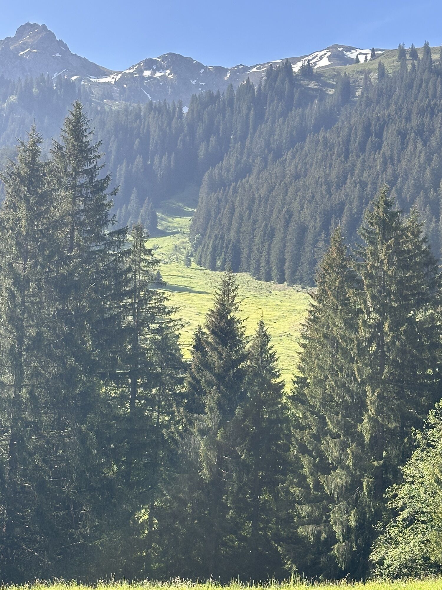
A route for mountain lovers who appreciate the natural beauty of the mountains as well as refined regional cuisine. The hiking trails lead through the varied Rätikon. The limestone rock of the Rätikon in contrast to the blooming alpine meadows on the steep walls of the impressive peaks Sulzfluh, Drei Türme and Drusenfluh shape the character of this hut hike.

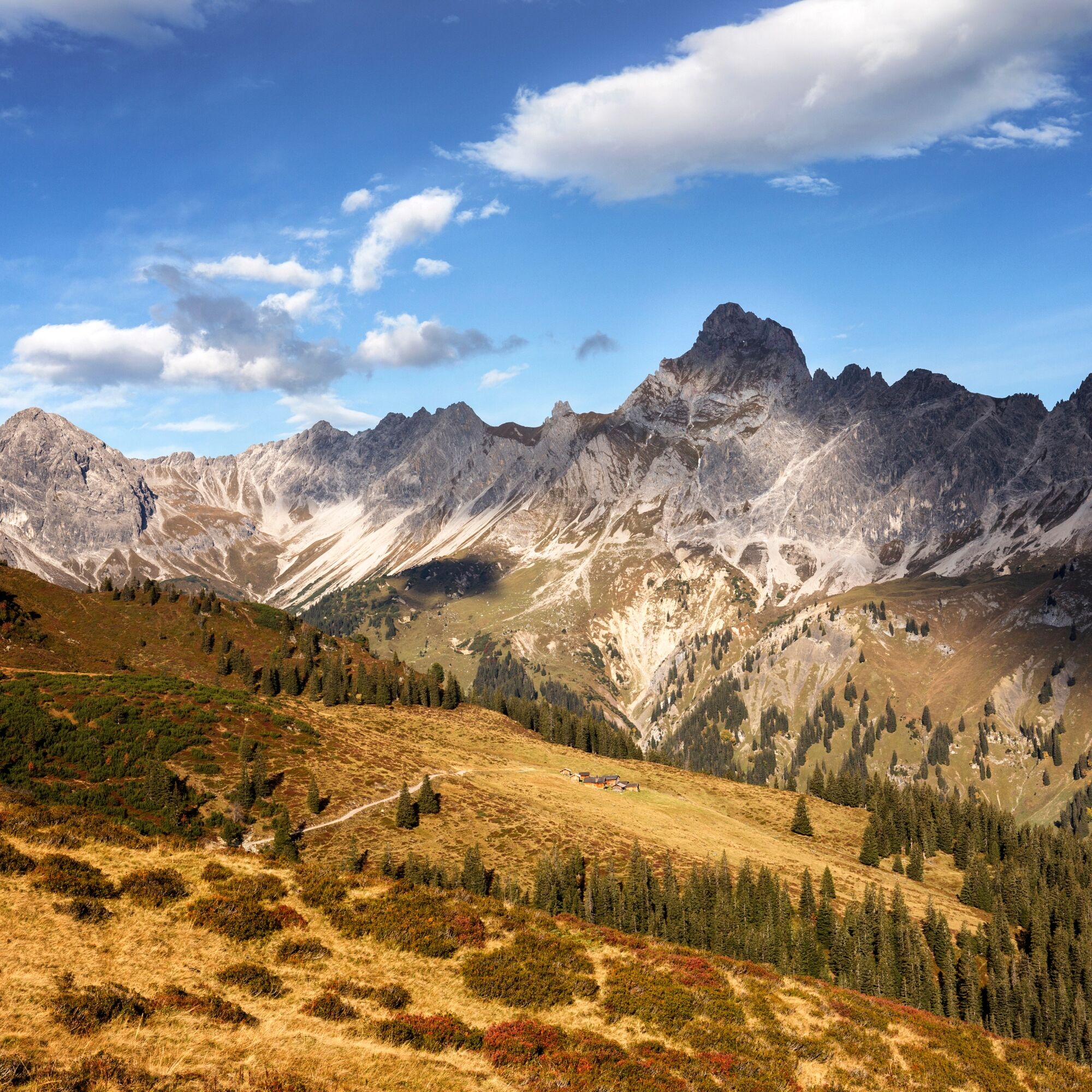
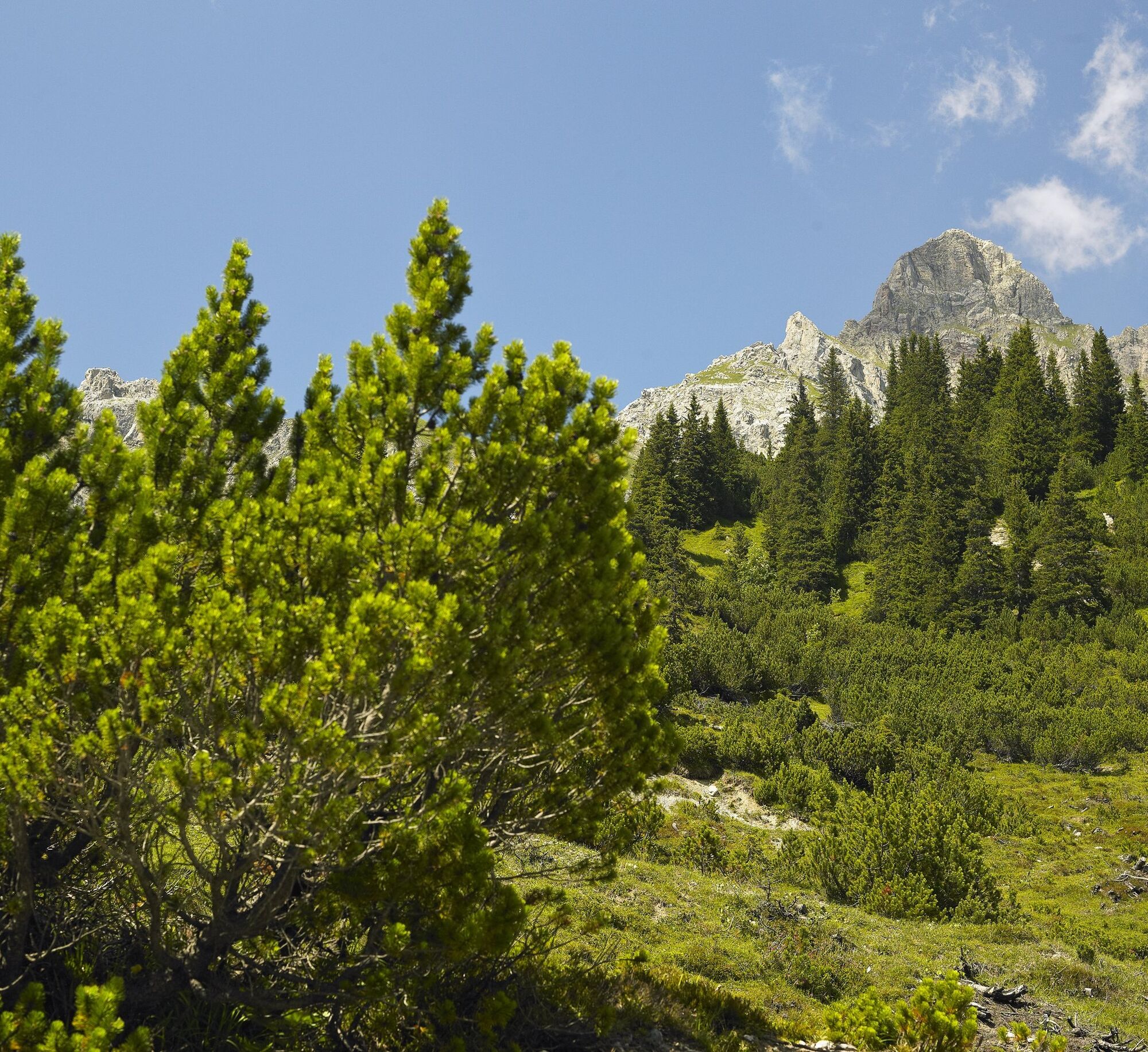
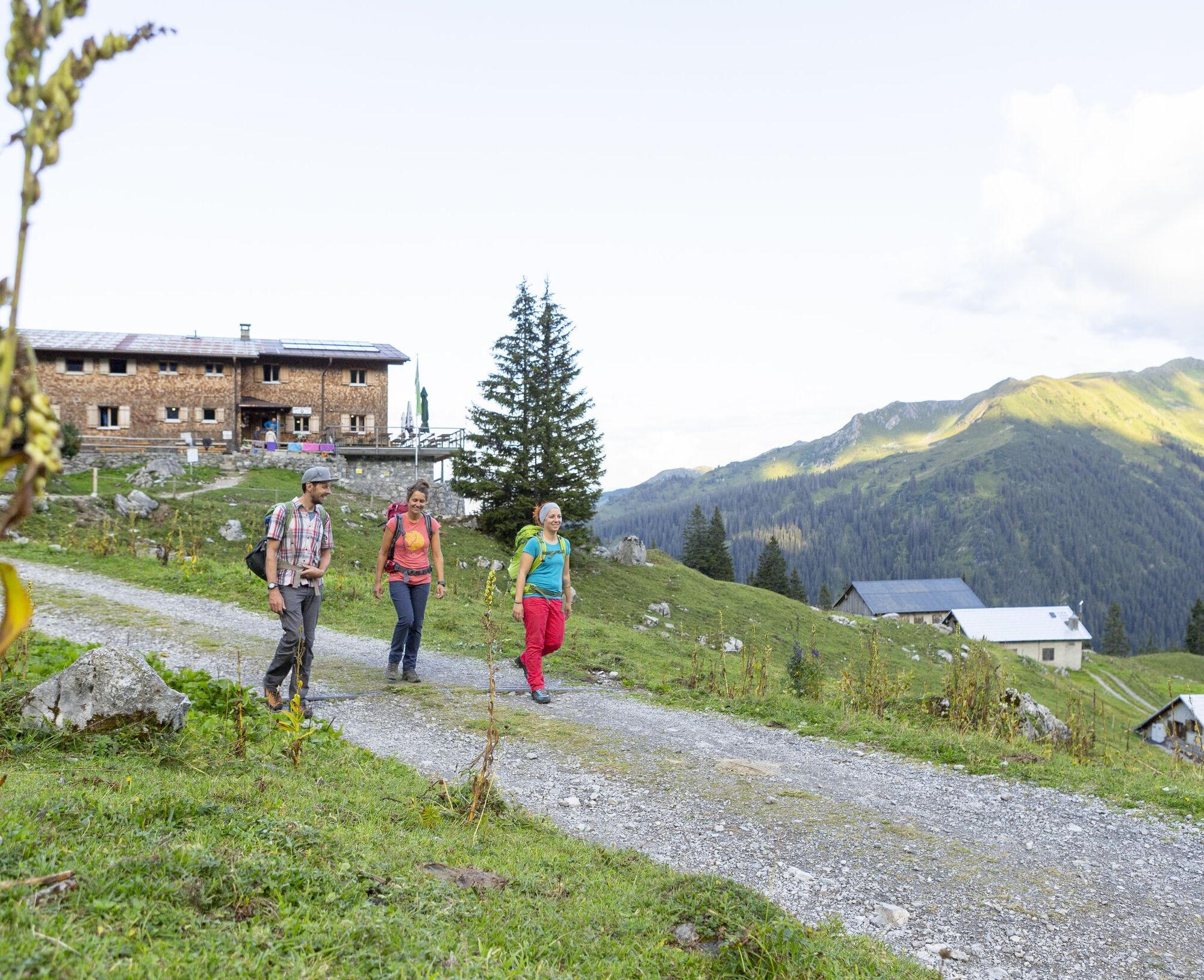
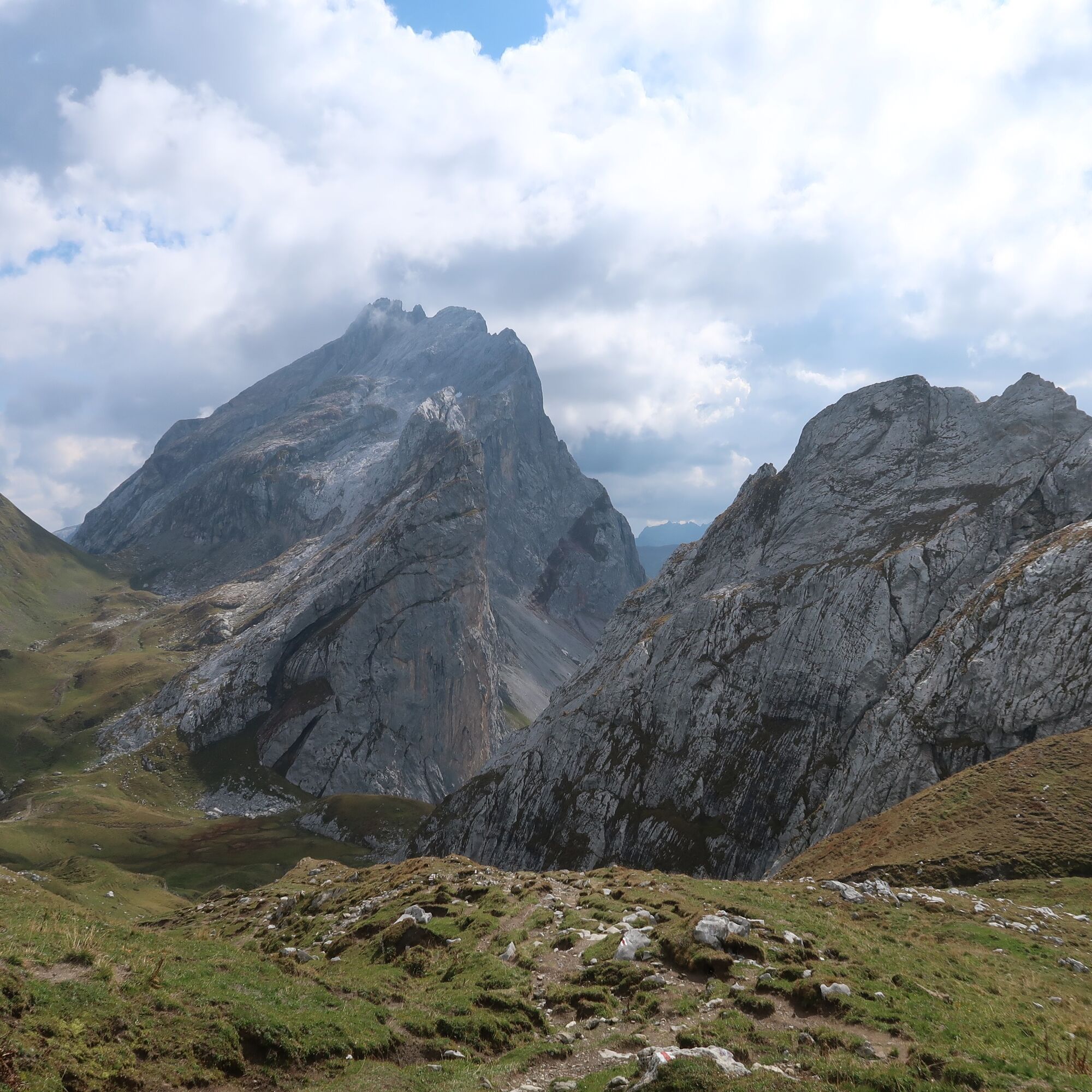
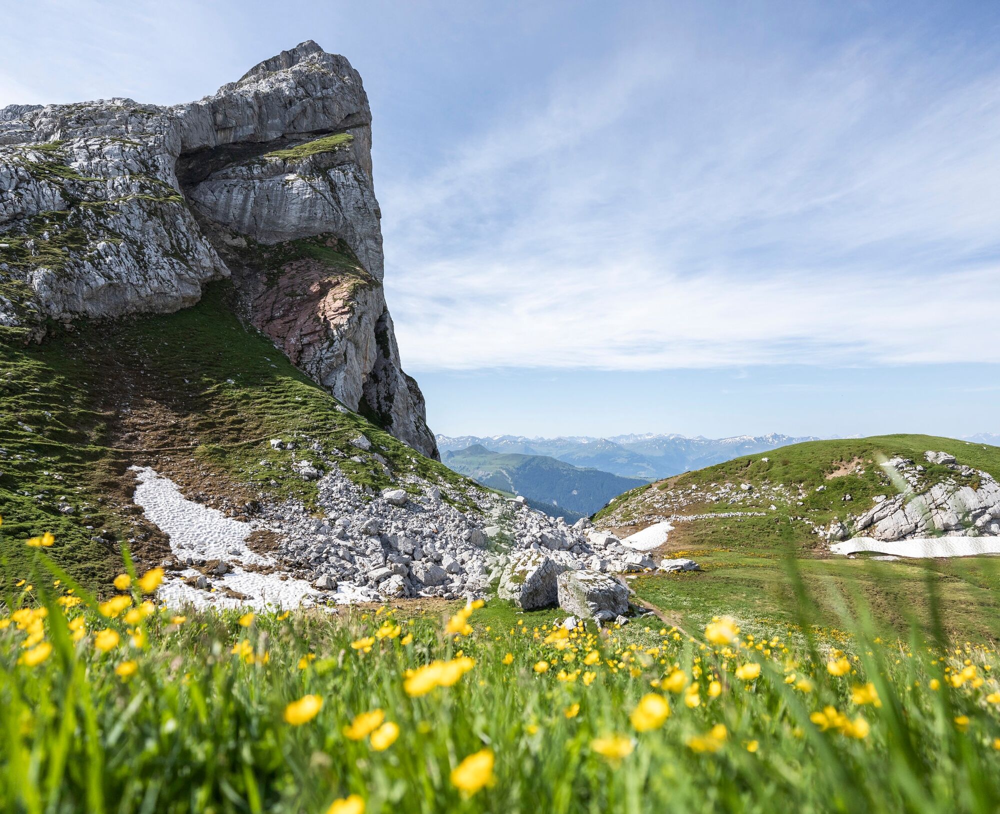
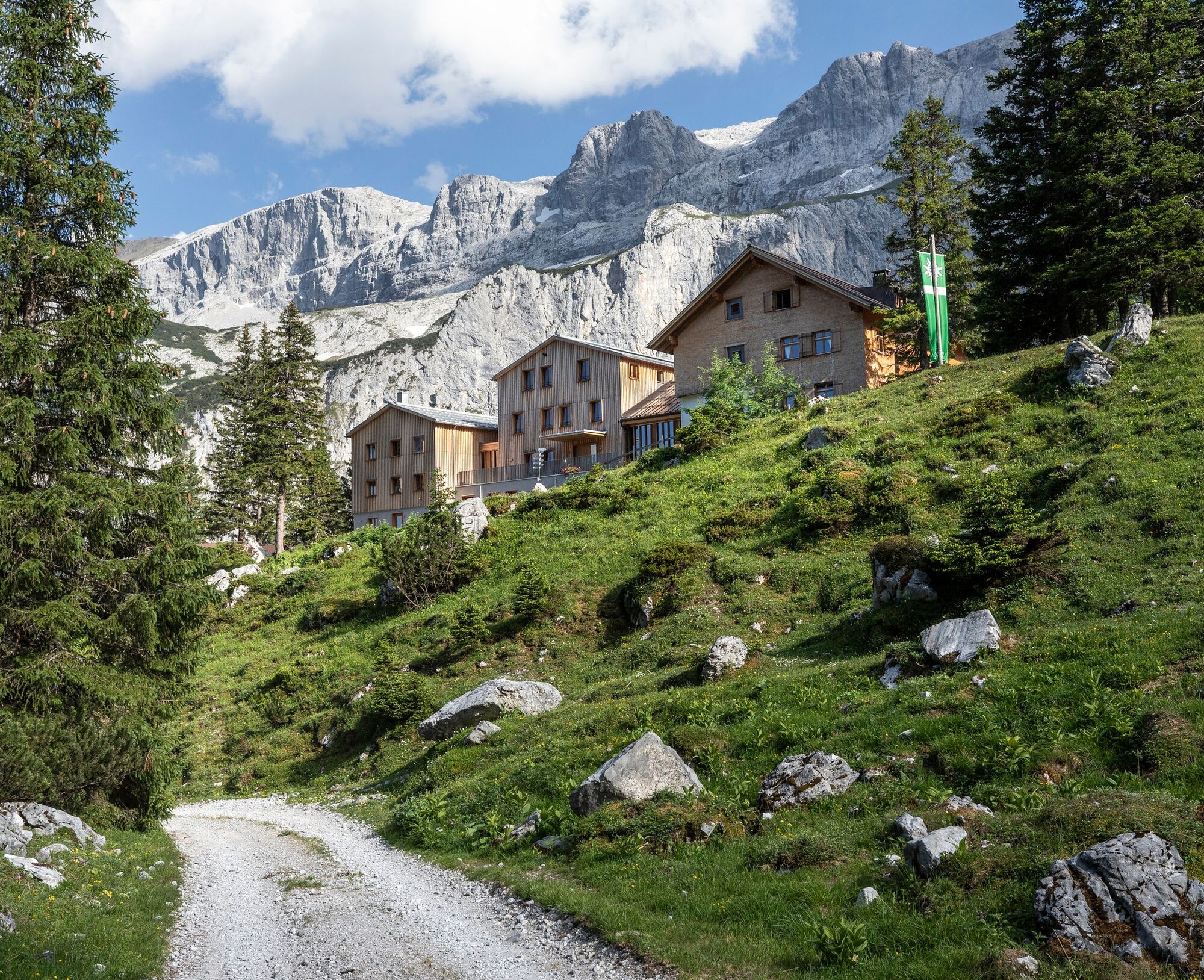
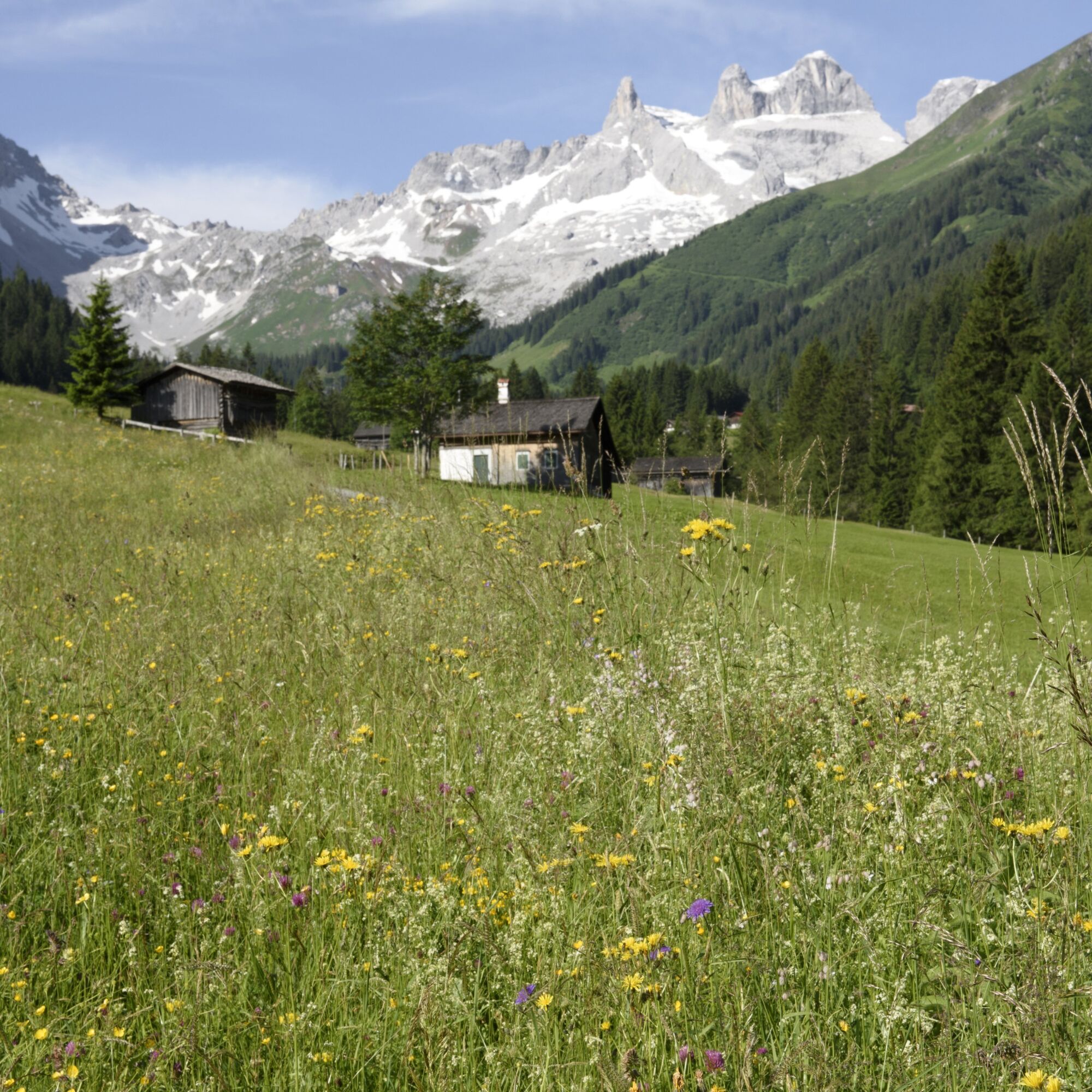

Stage 1: Golmerbahn mountain station to Heinrich Hueter Hut
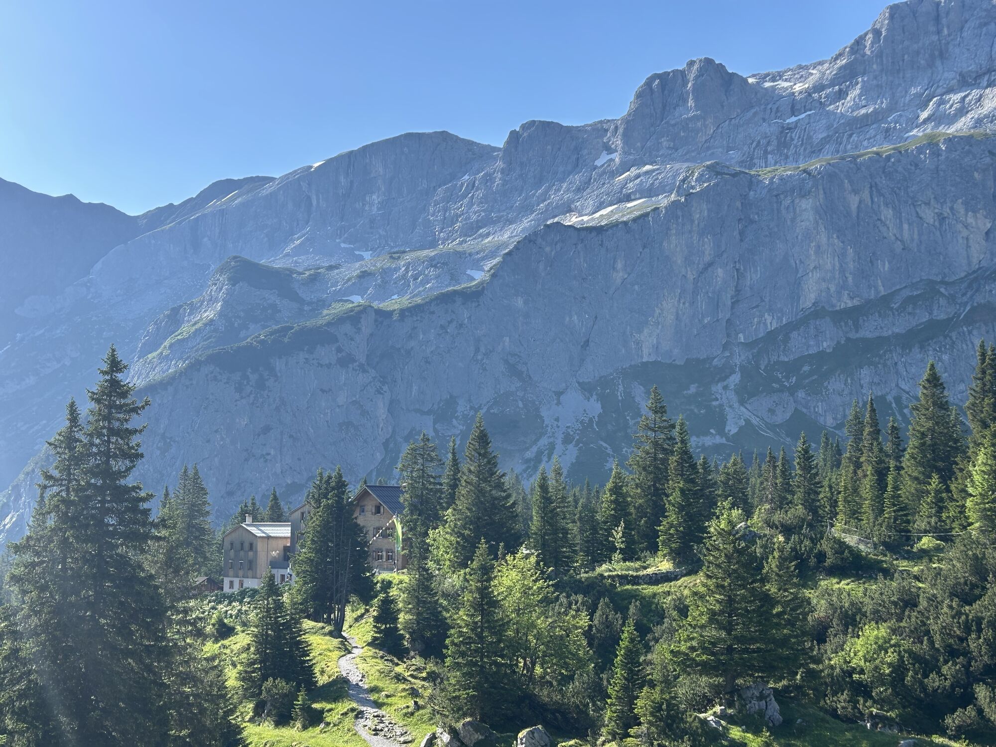
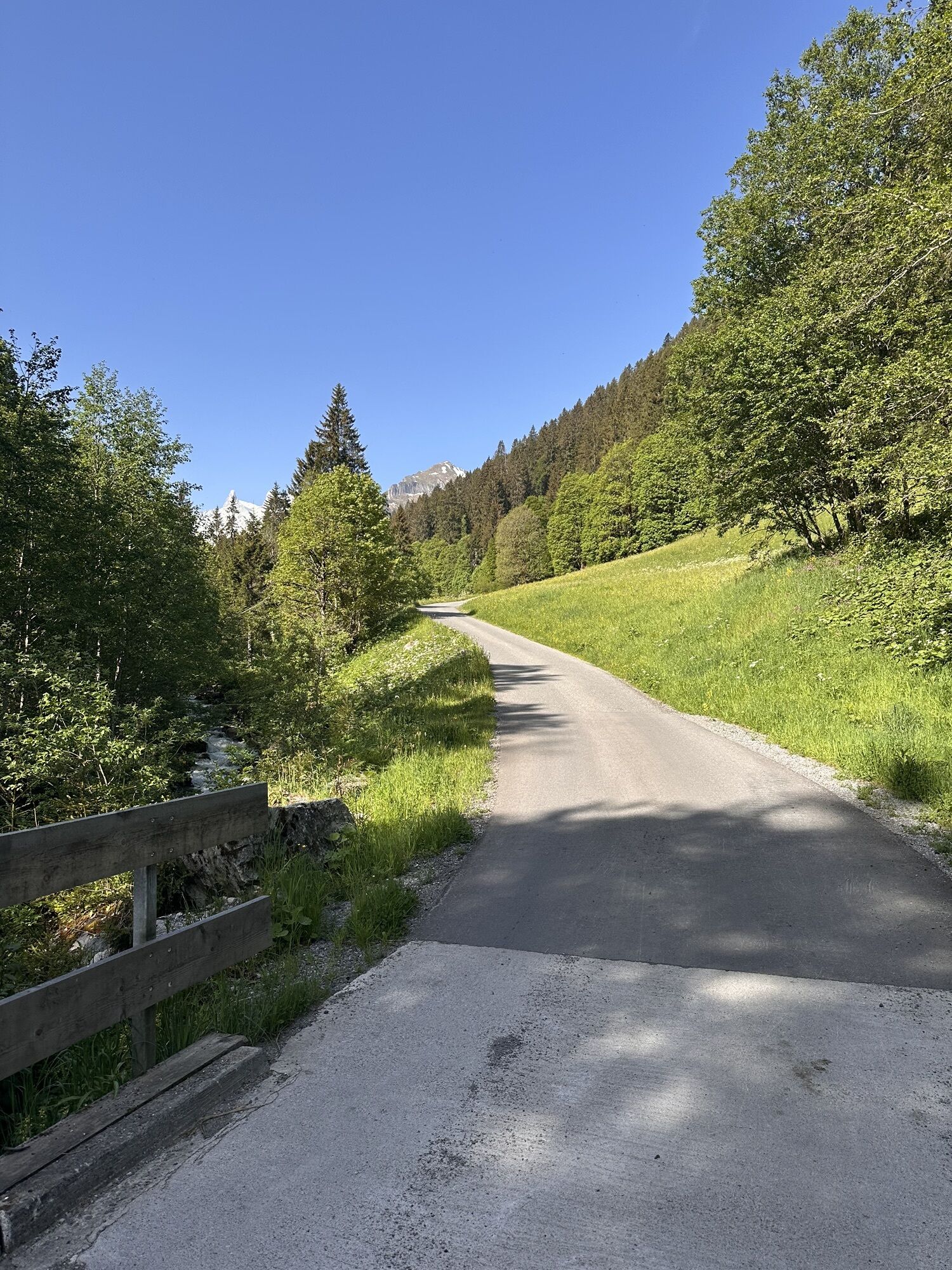
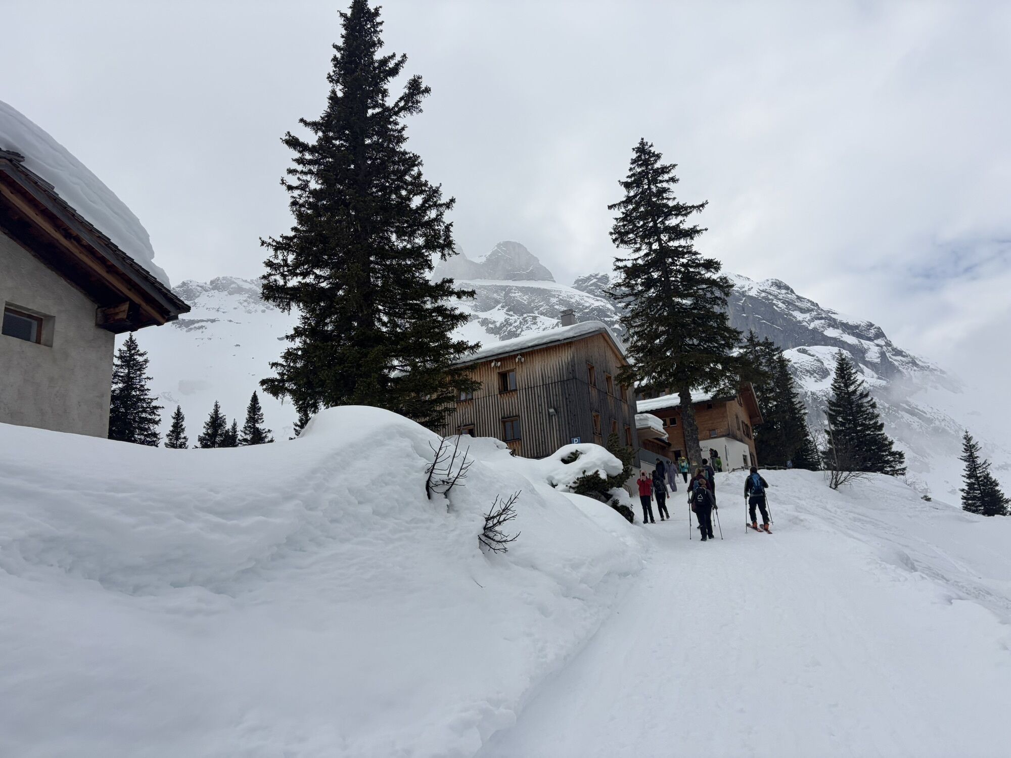
Starting from the Golmerbahn mountain station, follow the signpost towards Platzisalpe, continue through the shadow forest and past the Alpine guesthouse Rellstal until you arrive at the Heinrich Hueter Hut after a further ascent.
Walking time approx. 3:15 hrs // approx. 7.8 km // ascent 385 m, descent 520 m
Stage 2: Heinrich Hueter Hut to Totalp Hut
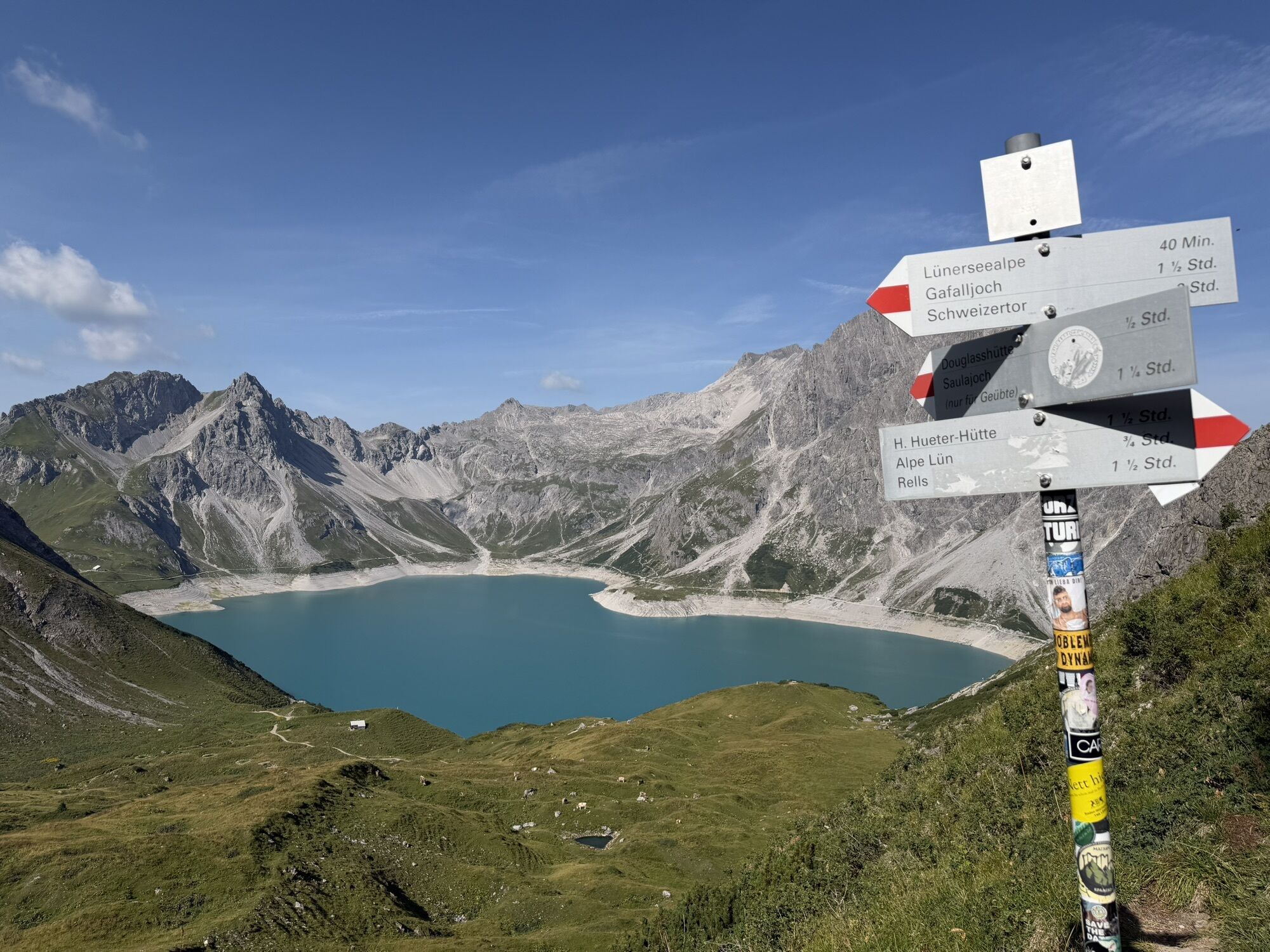
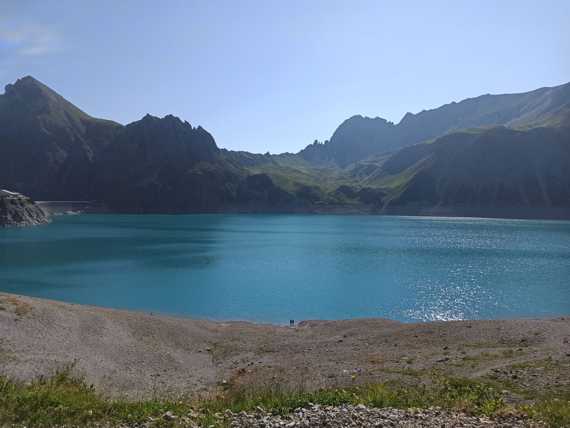
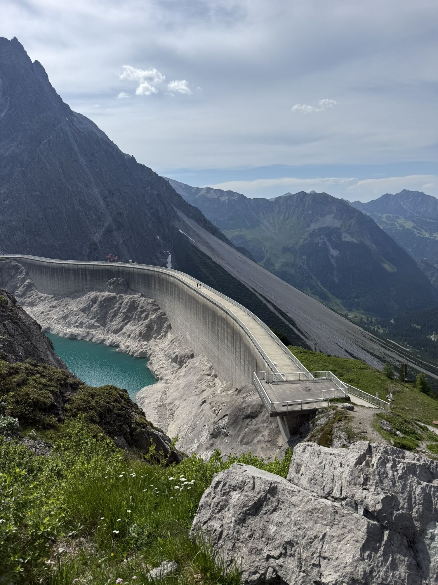
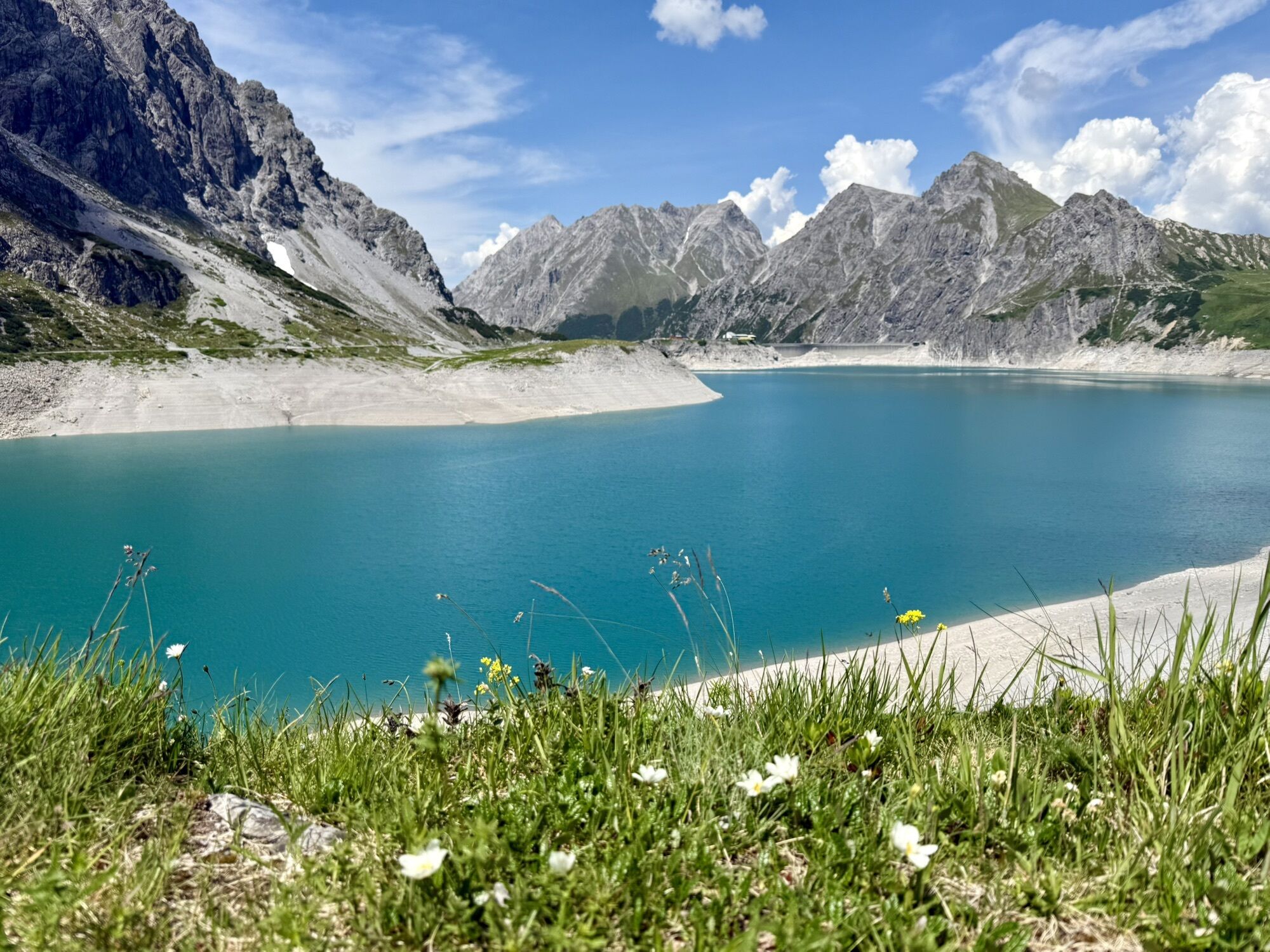
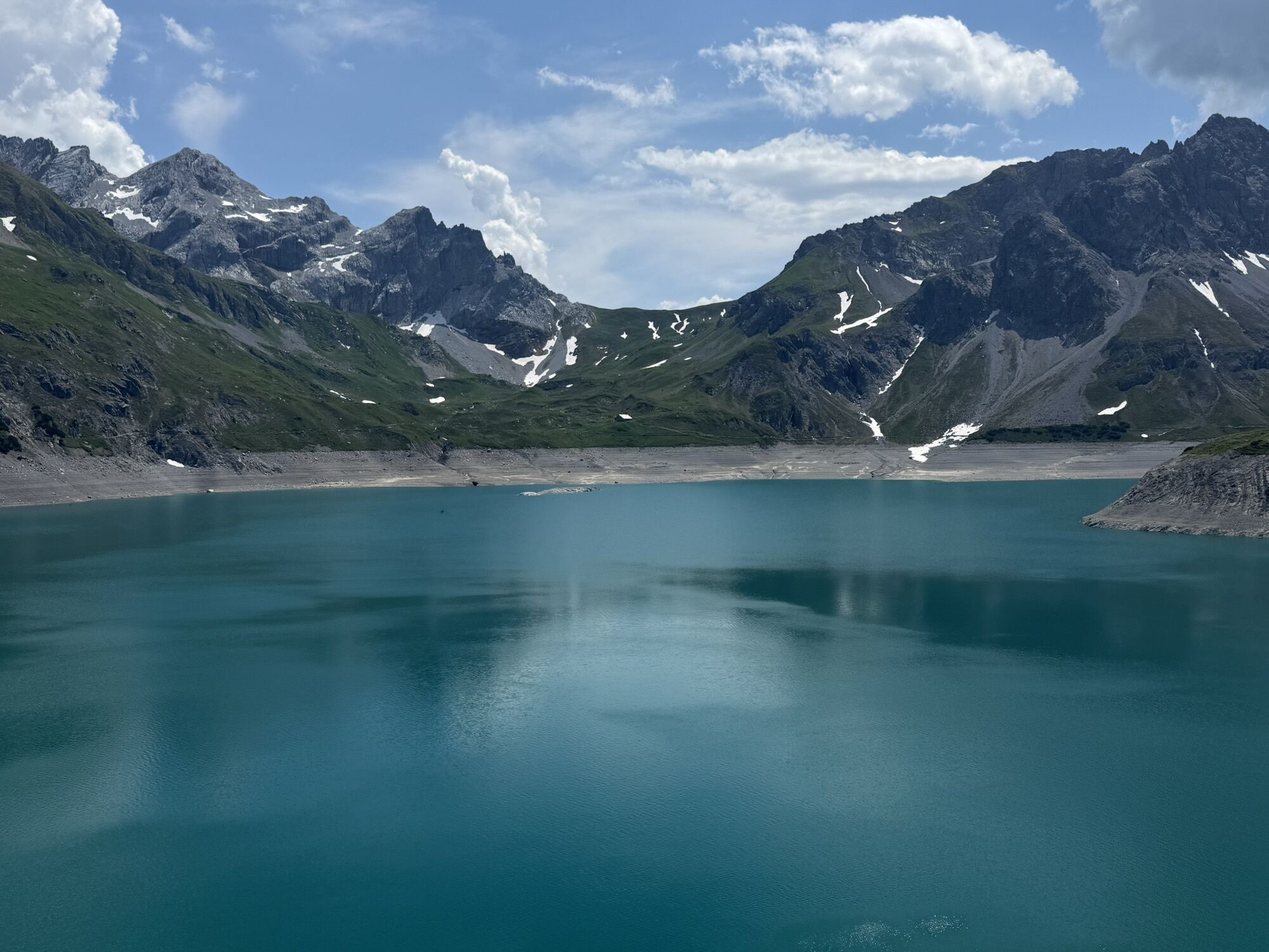
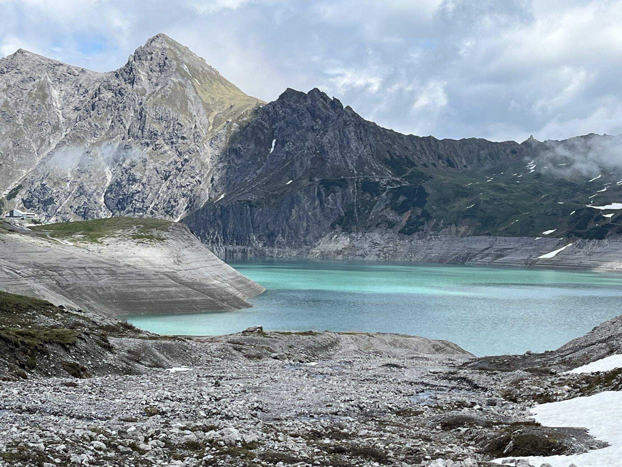
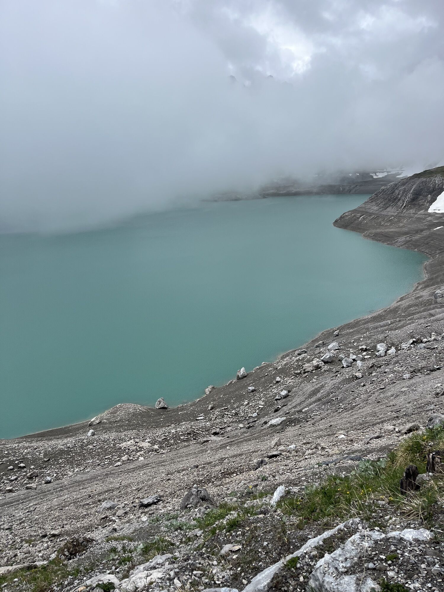
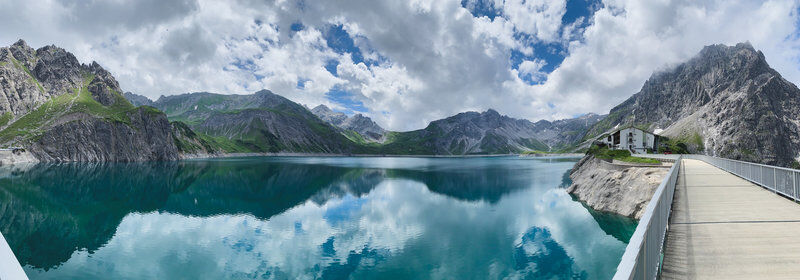
Through the Lünerkrinne and past the Lünersee, it goes to the foot of the Schesaplana, the highest mountain in the Rätikon. Here you will find the Totalp Hut.
Walking time approx. 3:50 hrs // approx. 7.6 km // ascent 855 m, descent 241 m
Stage 3: Totalp Hut to Lindau Hut
From the Totalp Hut, continue above the Lünersee and past the Lünersee-Alpe to Vera Joch. From here you already have the first view of the impressive Swiss Gate before it goes over the Öfapass to the Lindau Hut.
Walking time approx. 4:45 hrs // approx. 10.6 km // ascent 501 m, descent 1,139 m
Stage 4: Lindau Hut to Latschau
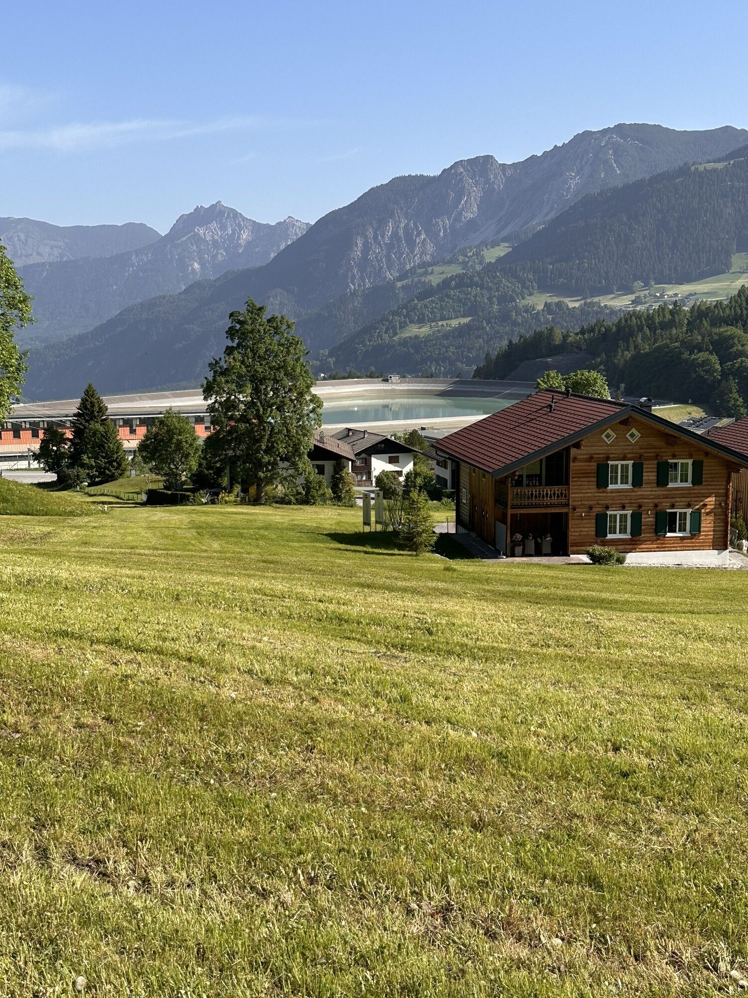
From the Lindau Hut follow the signpost downhill to Latschau.
Walking time approx. 2:15 hrs // approx. 6.2 km // ascent 0 m, descent 752 m
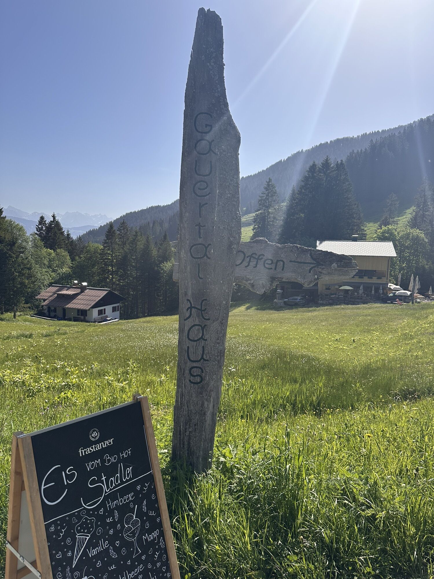
Golmerbahn mountain station - Platzisalpe - Rellstal - Heinrich Hueter Hut - Lünerkrinne - Lünersee - Douglass Hut - Lünersee-Alpe - Verajoch - Swiss Gate - Öfapass - Lindau Hut - Lower Spora Alpe - Gauertalhaus - Latschau
Ano
Bring good, ankle-high hiking boots with a good grip, enough food and drinks; hiking poles recommended
EMERGENCY CALL: 144
European emergency call: 112 (works with any mobile phone/network)
Coming from Bludenz on the B188, you have to turn off at the intersection on the main road before Schruns towards Tschagguns and continue to Latschau.
Just leave your car behind
The Montafonerbahn regional buses operate throughout the Montafon. The main lines run hourly from Schruns station.
From Schruns station you reach the Golmerbahn in Latschau by bus line 601. The stop is: "Golmerbahn".
For the return journey
With bus line 601 you can get back from Latschau to Schruns station.
Arrival by train
From Bludenz station, the Montafonerbahn runs hourly (sometimes half-hourly). There are also direct connections from Lindau (D) or Bregenz.
Here you will find your hiking parking lot.
Bring good, ankle-high hiking boots with a good grip, enough food and drinks; hiking poles recommended
Due to high demand at the huts, you should plan your route in advance and book overnight stays at the huts early.
Webové kamery z prohlídky
Grüneck Bergstation
Matschwitz Mittelstation
Palüdbahn Talstation
Hotel Zimba in Brand
Sücka Schlepplift Talstation
Berghof Golm
Golm - Matschwitz
Golm - Hüttenkopfbahn
Golm - Rätikonbahn
Bartholomäberg
Bartholomäberg
Lünersee - Douglass Hütte
Tschagguns
Schruns
Tilisunahütte
Tilisunahütte
Bartholomäberg - Ferienhotel Fernblick
Hueter Hütte
Hueter Hütte
Schlepplift Innerbach
Bartholomäberg
Bartholomäberg - Ferienhotel Fernblick
Bartholomäberg - Ferienhotel Fernblick
Bartholomäberg - Ferienhotel Fernblick
Berghaus Sulzfluh
Berghaus Sulzfluh
Berghaus Sulzfluh
Získejte přehled Vždy živě na místě s více než 9 500 webkamerami. bergfex Jako uživatel Pro si nyní můžete zobrazit odpovídající webové kamery pro mnoho prohlídek v aplikaci prohlídky z. Můžete si tak přímo prohlédnout aktuální podmínky. 
Oblíbené prohlídky v okolí
- 4.8
Douglashütte - Schesaplana
středníTuristika 7.31 km - 5.0
Ski tour to the Lindauer Hut (1,744 m)
světloLyžařská trasa 14.0 km - 4.7
Smuggler’s path
středníTematická stezka 8.60 km - 5.0
Bürs, Bürserschlucht Bürs, Vorarlberg
středníTuristika 5.31 km - 4.6
Over the historic mine and Fritzensee to Rellseck
středníTuristika 7.25 km - 4.4
Golm-Rundwanderweg im Rätikon
středníTematická stezka 7.28 km - 4.9
Douglasshütte, Lünersee, Gafalljoch Brand bei Bludenz, Vorarlberg
světloTuristika 9.16 km - 4.3
Mondspitze (Montspitze)
středníTuristika 7.97 km - 4.3
Golmerbahn Bergstaion Grüneck - Golmer Höhenweg - Geißspitze - Lindauer Hütte - Latschau
středníTuristika 11.5 km - 3.7
Fürstin-Gina-Weg
Turistika 10.7 km

Pěší turistika a stopování


Nenechte si ujít nabídky a inspiraci pro vaši příští dovolenou
Vaše e-mailová adresa byl přidán do poštovního seznamu.





