







Cansiglio ring (long version)
Úroveň obtížnosti: T2
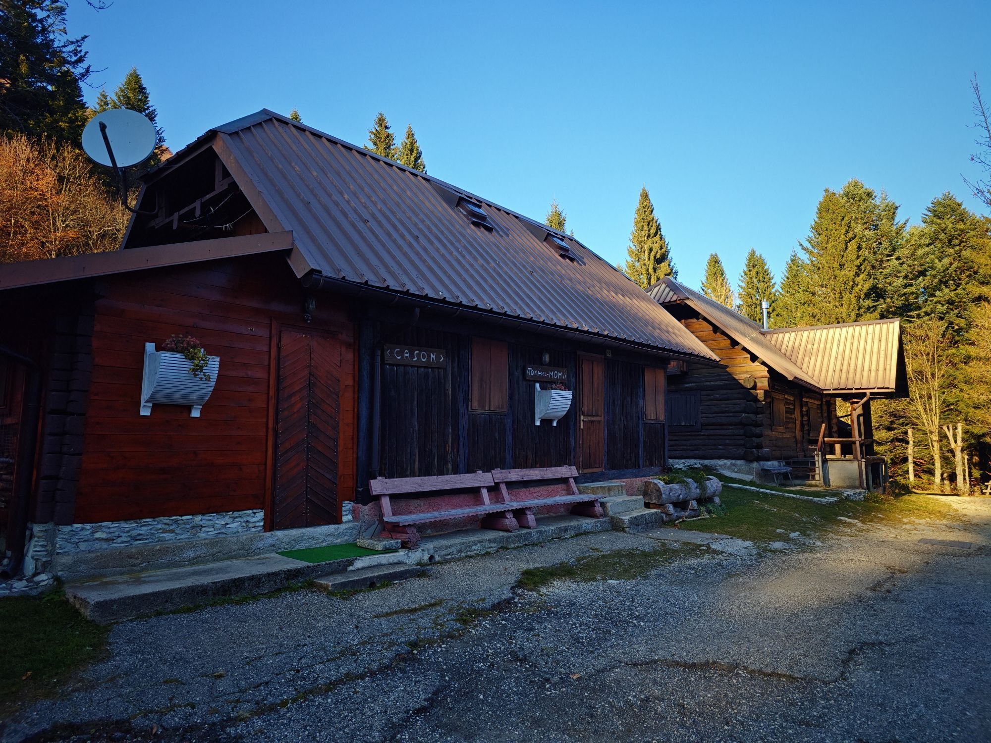
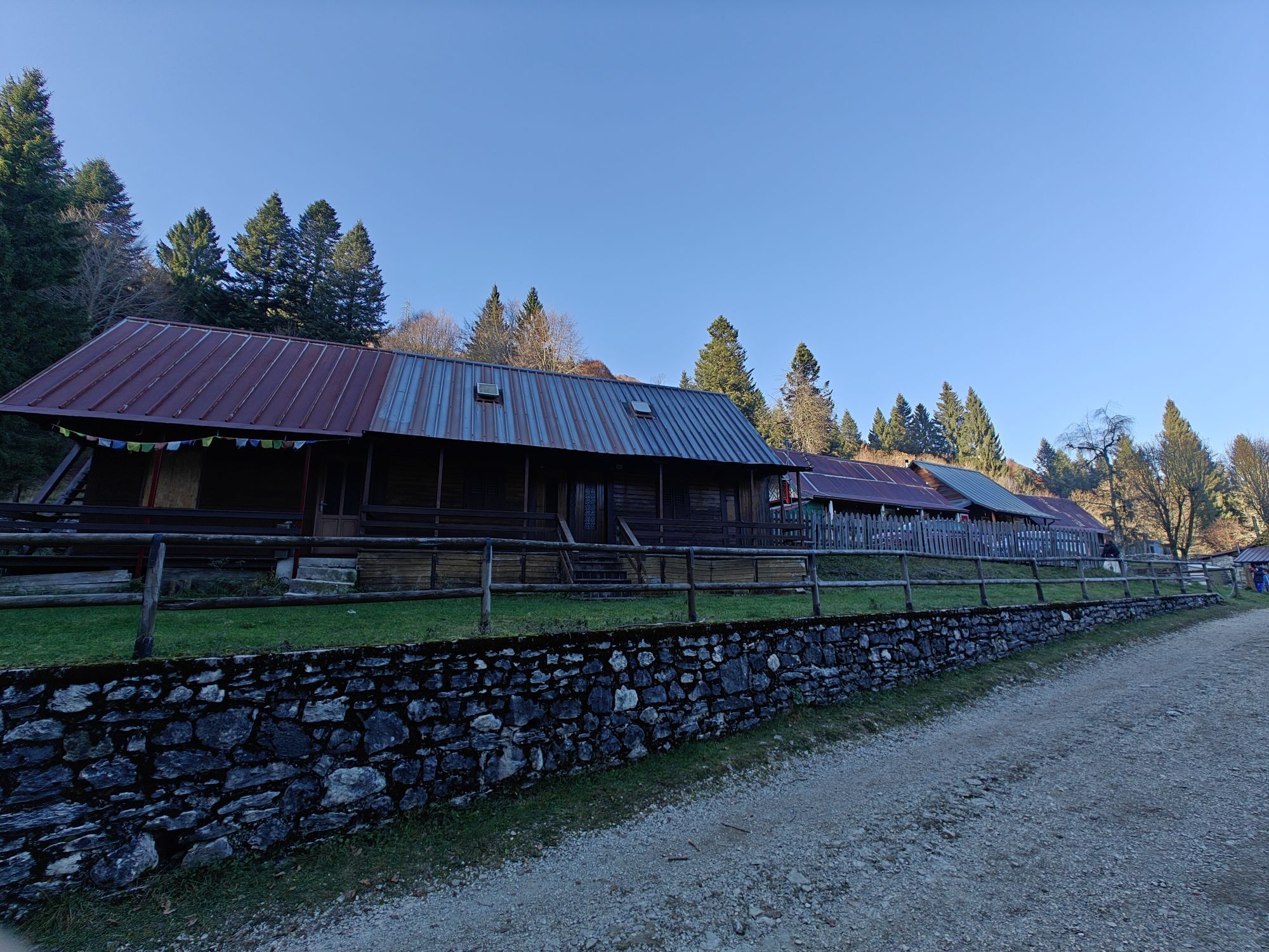
This long loop itinerary allows you to embrace the entire perimeter of the Cansiglio Forest, crossing one of the most fascinating natural environments in the Pre-Alps. The route covers about 40 km with...
The recommended departure is from Passo della Crosetta, where there is a useful Infopoint for information and orientation. From here, take the dirt road that leads to the Candaglia Forest House, continuing towards Pian Rosada, one of the most characteristic environments of the forest. The path continues in the direction of Campon and Palughetto, crossing wooded areas full of charm and silence. You then follow the Taffarel road, with a possible detour to Mezzomiglio, until you reach the carriageway that goes up to Pizzoc, from which you return to the starting point, closing the loop.
This is a long and challenging hike in terms of distance, ideal for trained hikers or for those who want to experience the forest in a slow and deep mode. A complete experience among nature, isolation and ever-changing landscapes.

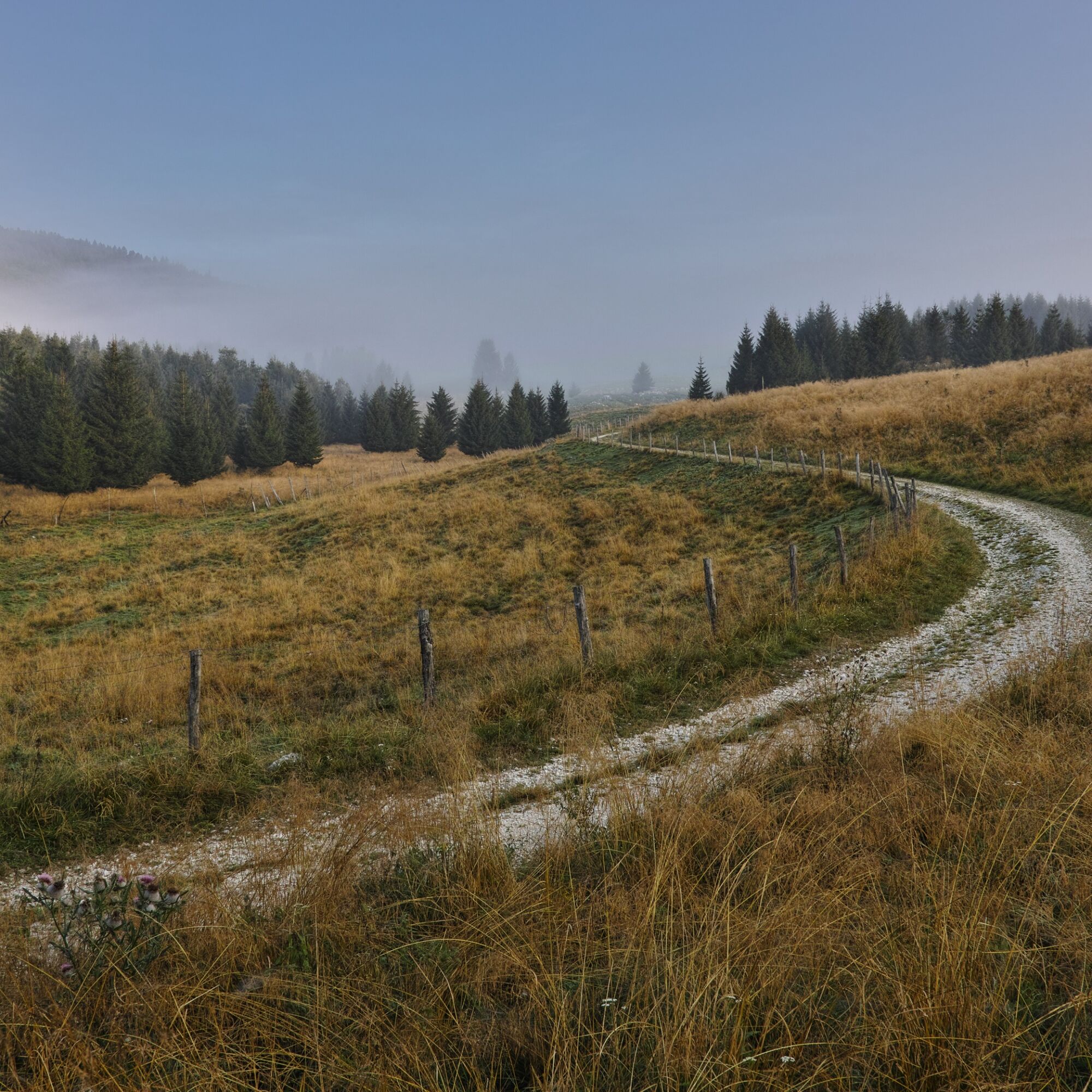

From Crosetta Pass follow the dirt road to the Candaglia Forest House. Continue in the direction of Pian Rosada, then Campon and Palughetto. Continue along the Taffarel road, with a possible detour to Mezzomiglio, to the Pizzoc carriageway. From here you return to Passo della Crosetta, closing the loop. Always follow the forest signs and maintain the main trail.
Hiking boots, backpack with plenty of water and food, waterproof/windproof jacket, layered clothing. Trekking poles recommended, map
Since this is a long route, it is essential to plan the hike carefully. Always check the weather conditions and condition of the forest trails before departure
T2
Pian Rosada and Palughetto are unmissable stops: here the silence of Cansiglio is total and truly evocative.
Získejte přehled Vždy živě na místě s více než 9 500 webkamerami. bergfex Jako uživatel Pro si nyní můžete zobrazit odpovídající webové kamery pro mnoho prohlídek v aplikaci prohlídky z. Můžete si tak přímo prohlédnout aktuální podmínky. Oblíbené prohlídky v okolí
- 4.0
Palantina, Colombera, and Tremol - 3 peaks above Piancavallo
heavyTuristika 8.70 km - 5.0
Výstup na Giro d'Italia Aviano - Piancavallo (P002)
heavySilniční kolo 13.9 km Malghe di Collalto loop
středníTuristika 8.67 km- 4.0
Loop along the Gerometta Path and Col Cornier
středníTuristika 10.4 km Circular route of Casera Valle Friz and Arneri Refuge among karst dolines and splendid blossoms
středníTuristika 11.7 km- 4.0
Belluno - Cima Lastè - Rifugio Carlo e Massimo Semenza - Tambre
heavyTuristika 11.9 km - 4.0
Policreti Path
středníTuristika 7.33 km Pian del Cansiglio: Passeggiata nei dintorni di Vallorch
světloTuristika 6.60 km- 3.0
Malghe Ring and Forcella di Giais
středníTuristika 12.5 km - 5.0
Poiatte Nordic Walking Loop - Madonna del Runal
středníTuristika 9.79 km
Pěší turistika a stopování


Nenechte si ujít nabídky a inspiraci pro vaši příští dovolenou
Vaše e-mailová adresa byl přidán do poštovního seznamu.





