







Malghe Ring and Forcella di Giais
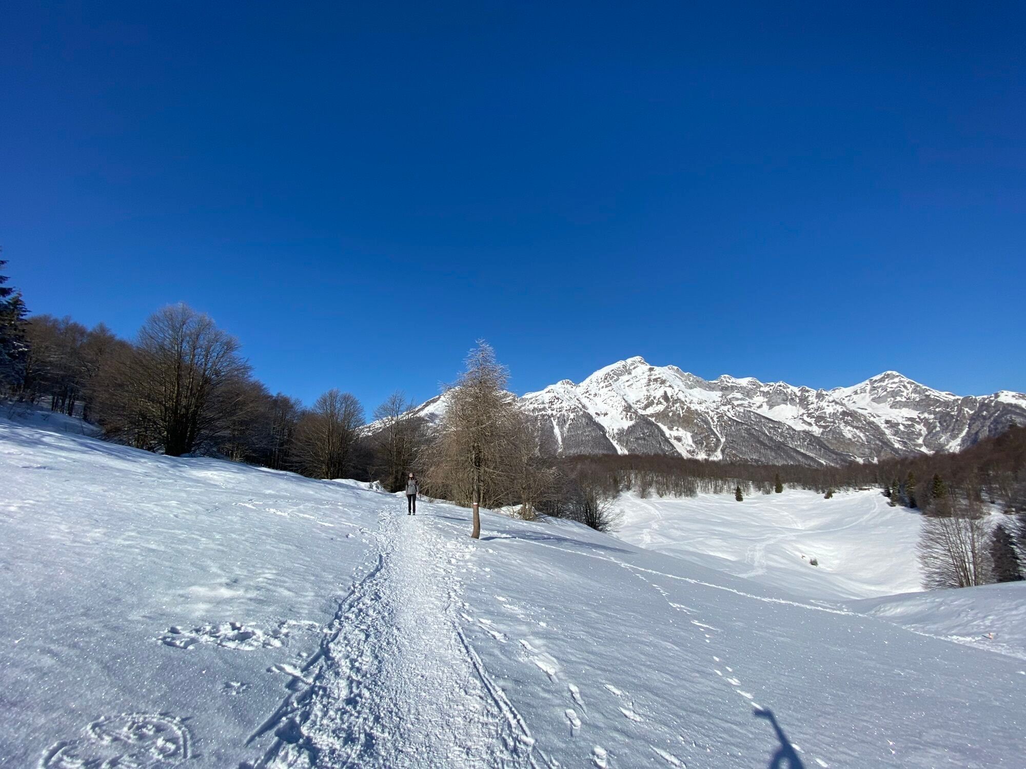
From the Piancavallo infopoint, turn left into Via Collalto and continue uphill until you reach the electricity cabin on the left side of the road.
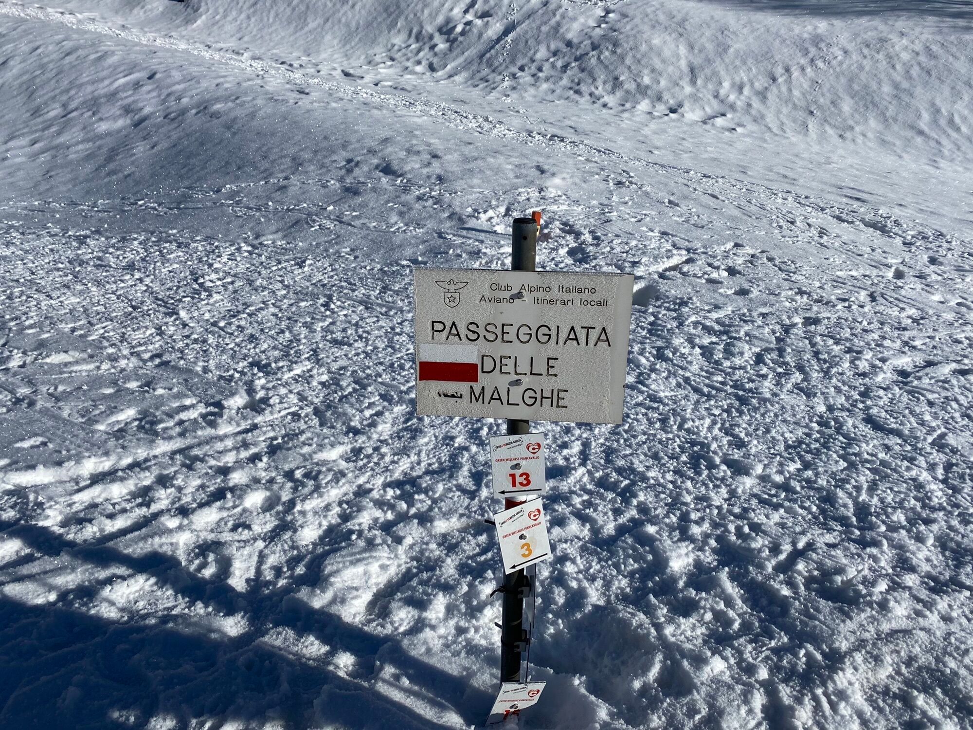
Follow the signs for the Passeggiata delle Malghe and...
From the Piancavallo infopoint, turn left into Via Collalto and continue uphill until you reach the electricity cabin on the left side of the road.
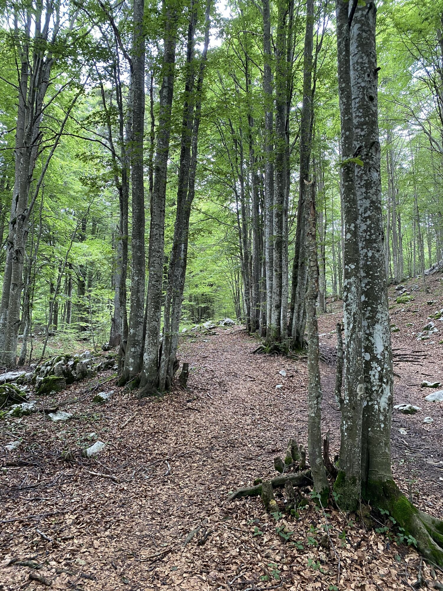
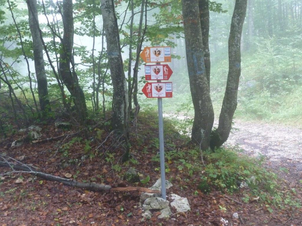
Follow the signs for the Passeggiata delle Malghe and the white-red trail markers, entering the beech forest. Staying at altitude, you cross sinkholes and depressions. Before the junction with the forest road, you encounter a large sinkhole. Pass it and cross the road following the white-red signs to Casera Caseratte. Turn left onto CAI 985 and continue on the gently sloping path to Casera Valfredda, clearly visible on a hill to the right. Continue along the small valley to the saddle. Continue downhill to the junction with the CAI 988 c path, which ends here.
Continue left on CAI 985 to reach a large junction with trails CAI 971 and 915. From the 985-971-915 junction, take the left for a few dozen meters along trail 971. At the first junction, turn left onto the forest road, unmarked but clearly visible. Follow the forest road to the large sinkhole already passed at the start of the route. Follow its entire perimeter to the junction with the Sentiero della Malghe. Turn right, following the white and red signs, re-enter Via Collalto, and continue to the starting point.
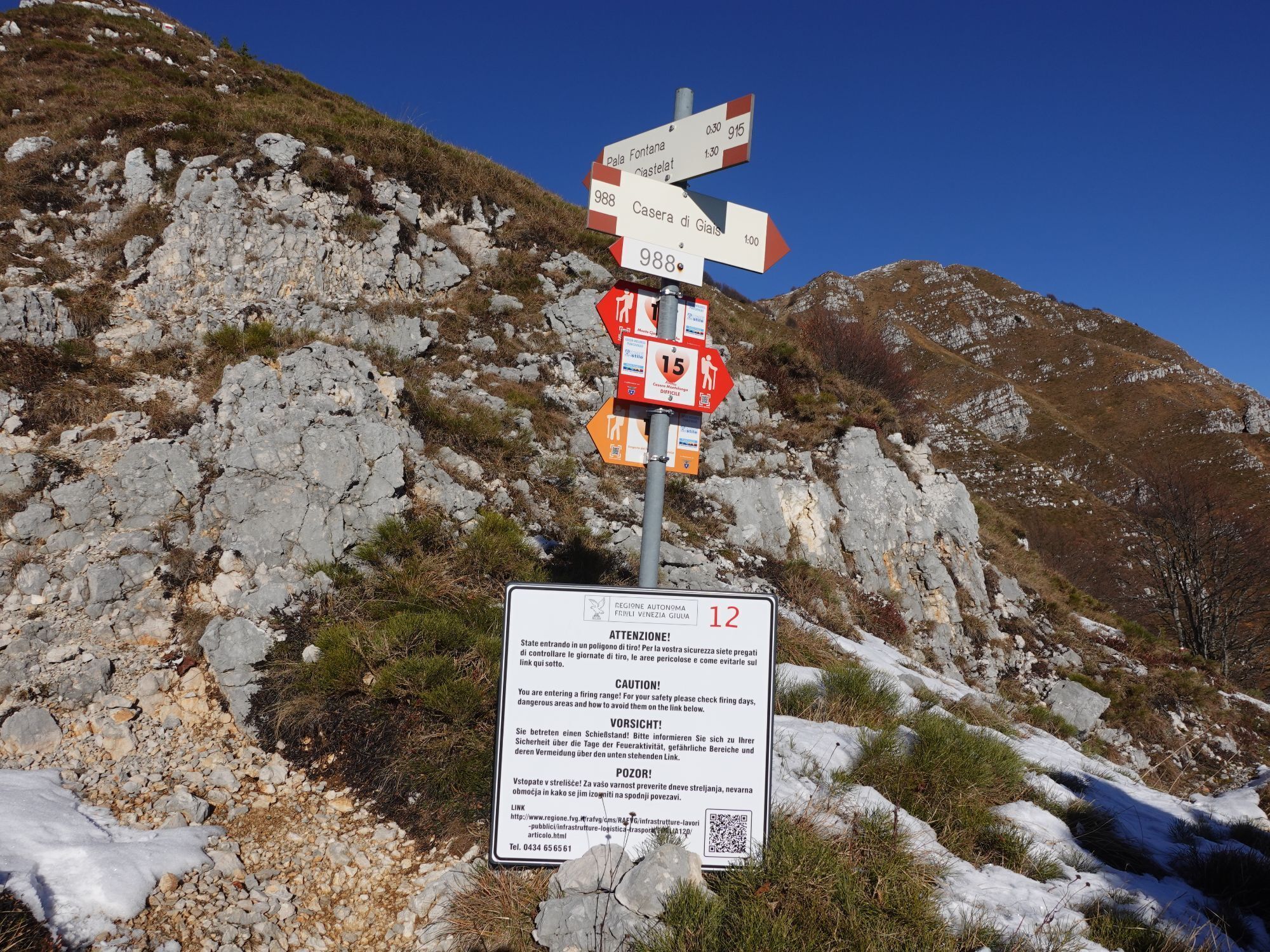
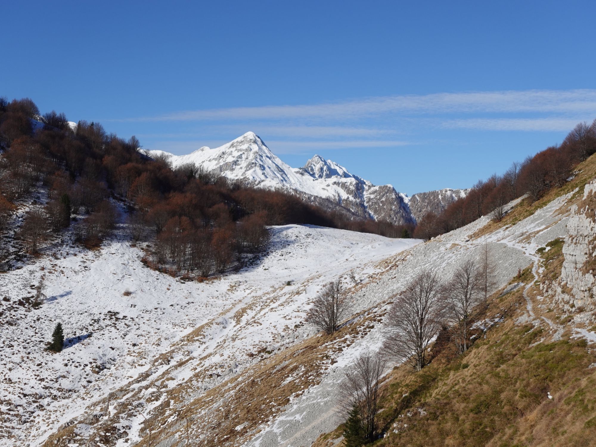
A detour is possible: at the 985-988 junction, continue right on trail CAI 988; it is possible to proceed to the Forcella di Giais (about one hour round trip) to enjoy the splendid view of the Veneto-Friuli plain.

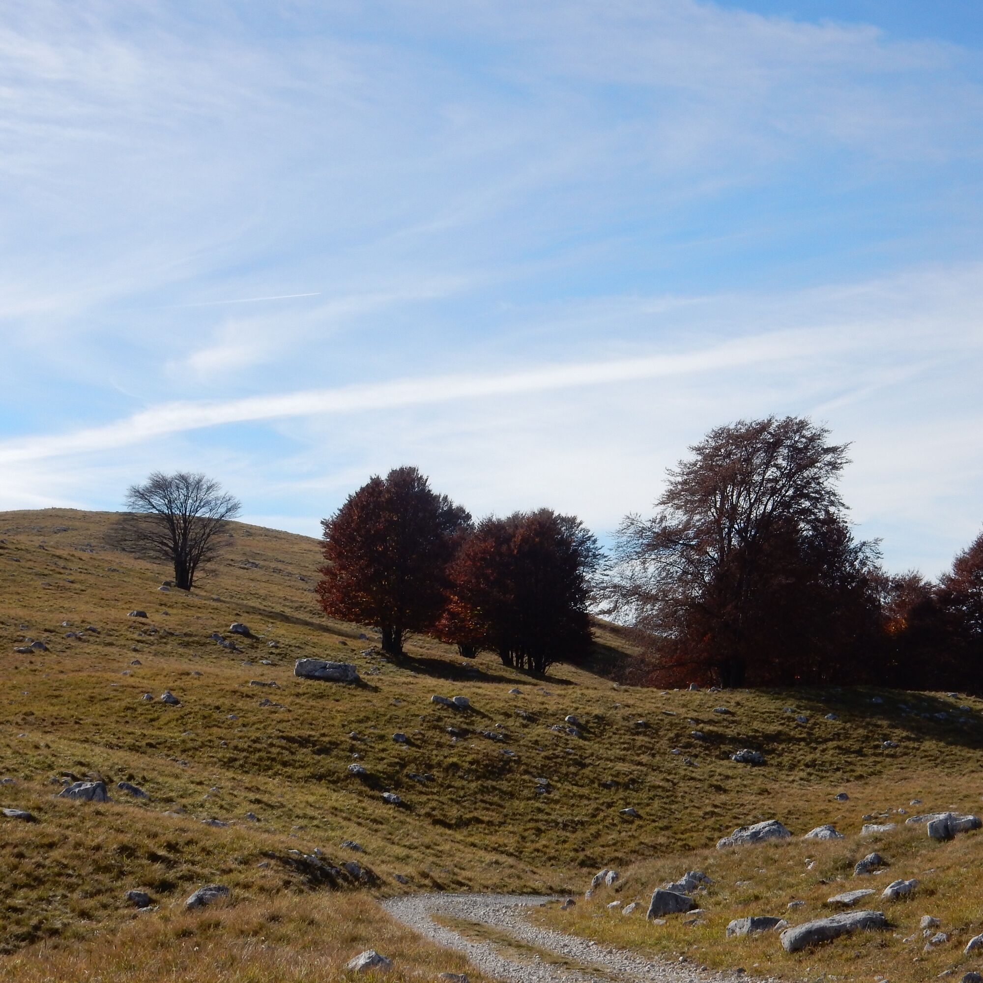
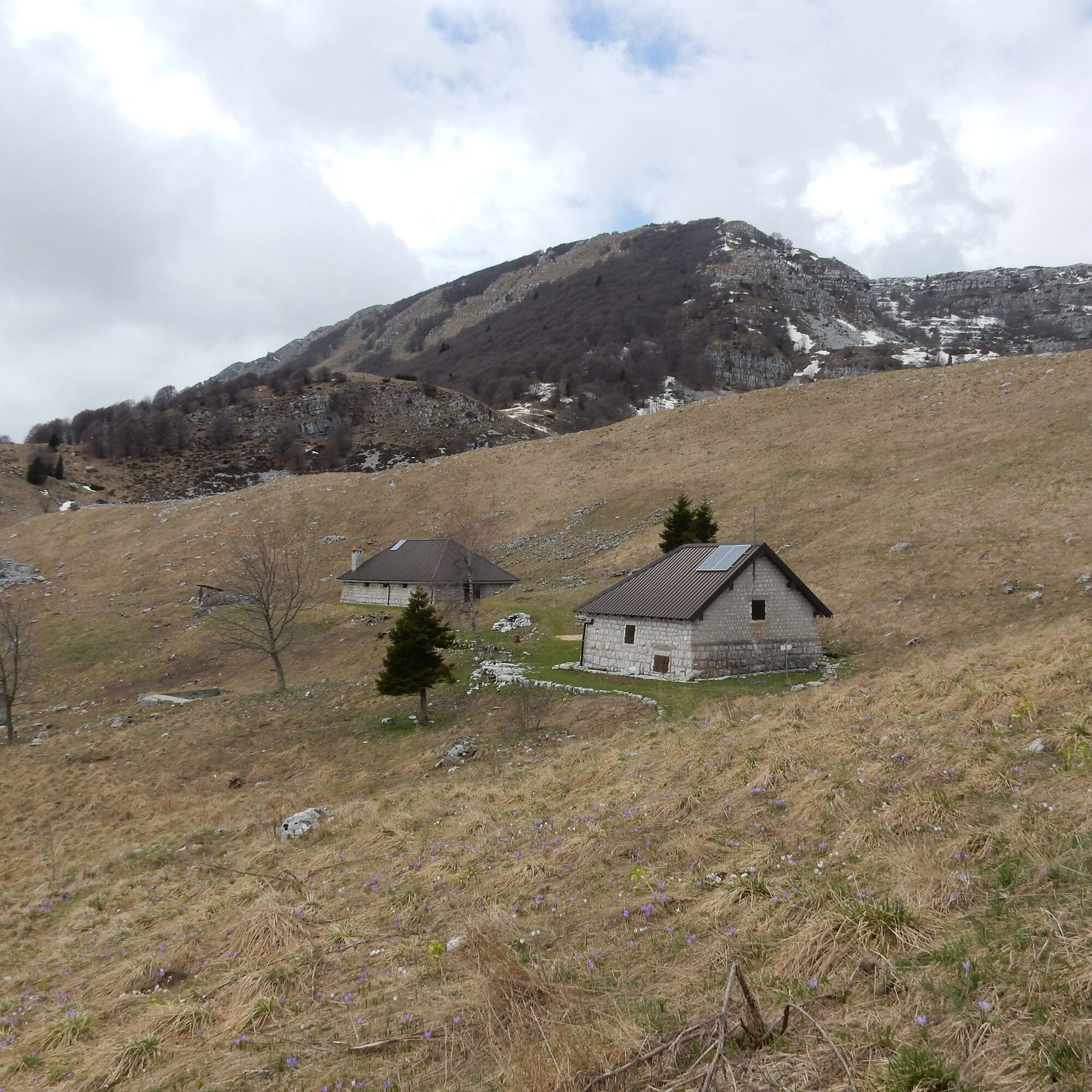
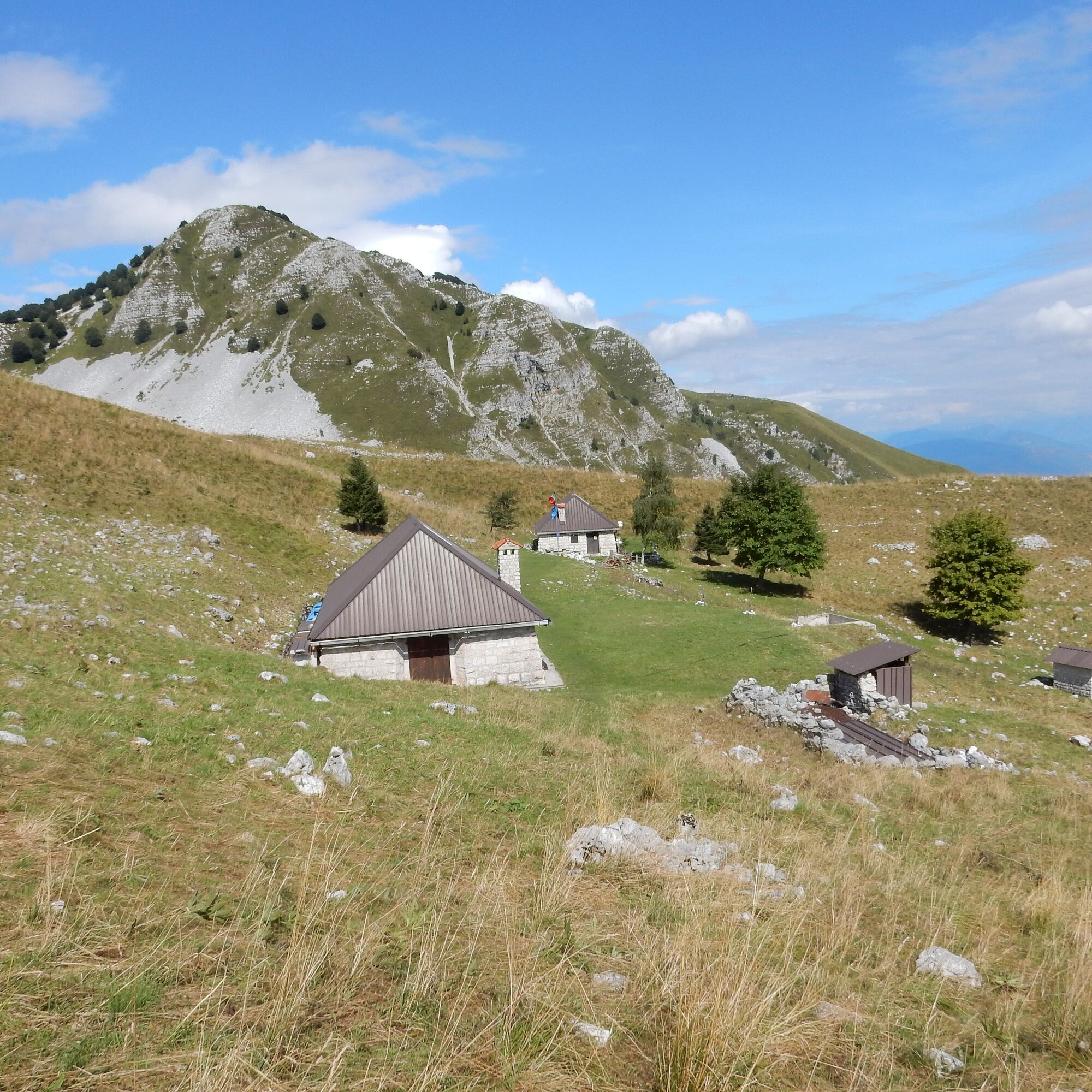

From the Piancavallo infopoint, take Via Collalto and continue uphill to the electricity cabin; reach the entrance of the Passeggiata delle Malghe path and follow the signs along the route with white-red CAI markers.
Ano
Standard hiking equipment.
Carry an adequate supply of water along the route.
Possibility to purchase the Greenwellness Piancavallo Guide at the Piancavallo infopoint


Webové kamery z prohlídky
Získejte přehled
Vždy živě na místě s více než 9 500 webkamerami. bergfex Jako uživatel Pro si nyní můžete zobrazit odpovídající webové kamery pro mnoho prohlídek v aplikaci prohlídky z. Můžete si tak přímo prohlédnout aktuální podmínky.
Oblíbené prohlídky v okolí
-
4.3
Dint Trail
středníTuristika 4.34 km -
4.0
Palantina, Colombera, and Tremol - 3 peaks above Piancavallo
heavyTuristika 8.70 km -
4.7
RING OF LAKE BARCIS
světloTuristika 5.64 km -
4.0
Monte Resettum
heavyTuristika 15.0 km -
3.5
Pala d'Altei da Grizzo
světloTuristika 11.5 km -
5.0
Raut da Palabarzana
středníTuristika 9.72 km -
5.0
Výstup na Giro d'Italia Aviano - Piancavallo (P002)
heavySilniční kolo 13.9 km -
Malghe di Collalto loop
středníTuristika 8.67 km -
4.0
Loop along the Gerometta Path and Col Cornier
středníTuristika 10.4 km -
Circular route of Casera Valle Friz and Arneri Refuge among karst dolines and splendid blossoms
středníTuristika 11.7 km
Pěší turistika a stopování


Nenechte si ujít nabídky a inspiraci pro vaši příští dovolenou
Vaše e-mailová adresa byl přidán do poštovního seznamu.





