


Monte Resettum
This route in the Parco delle Dolomiti Friulane offers unique satisfaction thanks to the magnificent views and vibrant colors of the environment especially during early autumn. From the summit, you can...
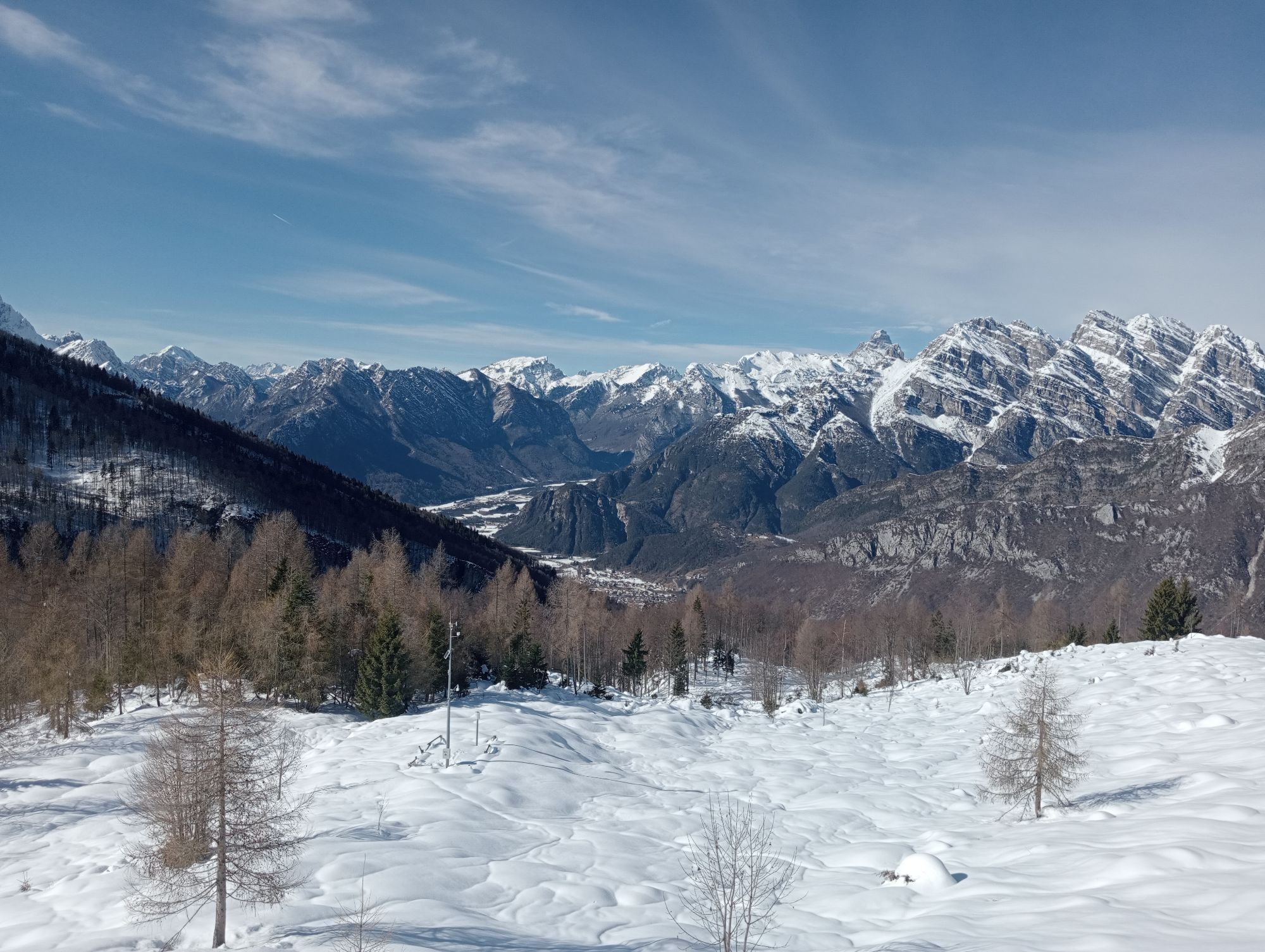
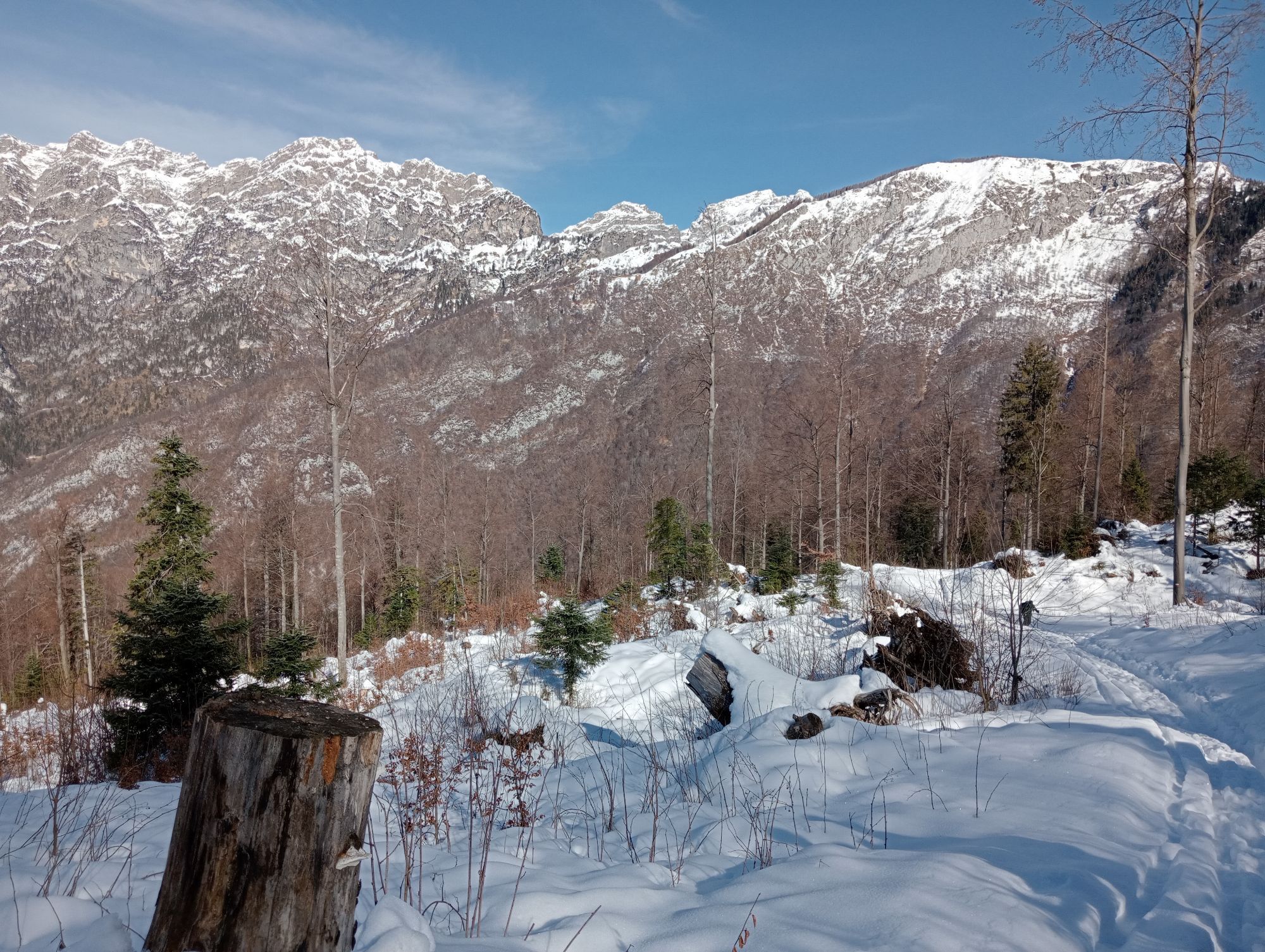
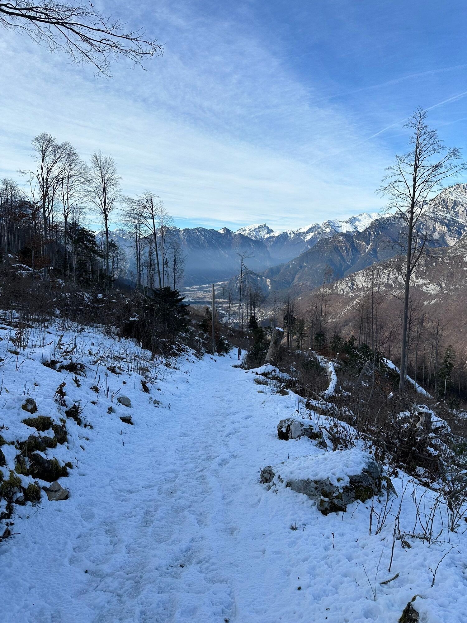
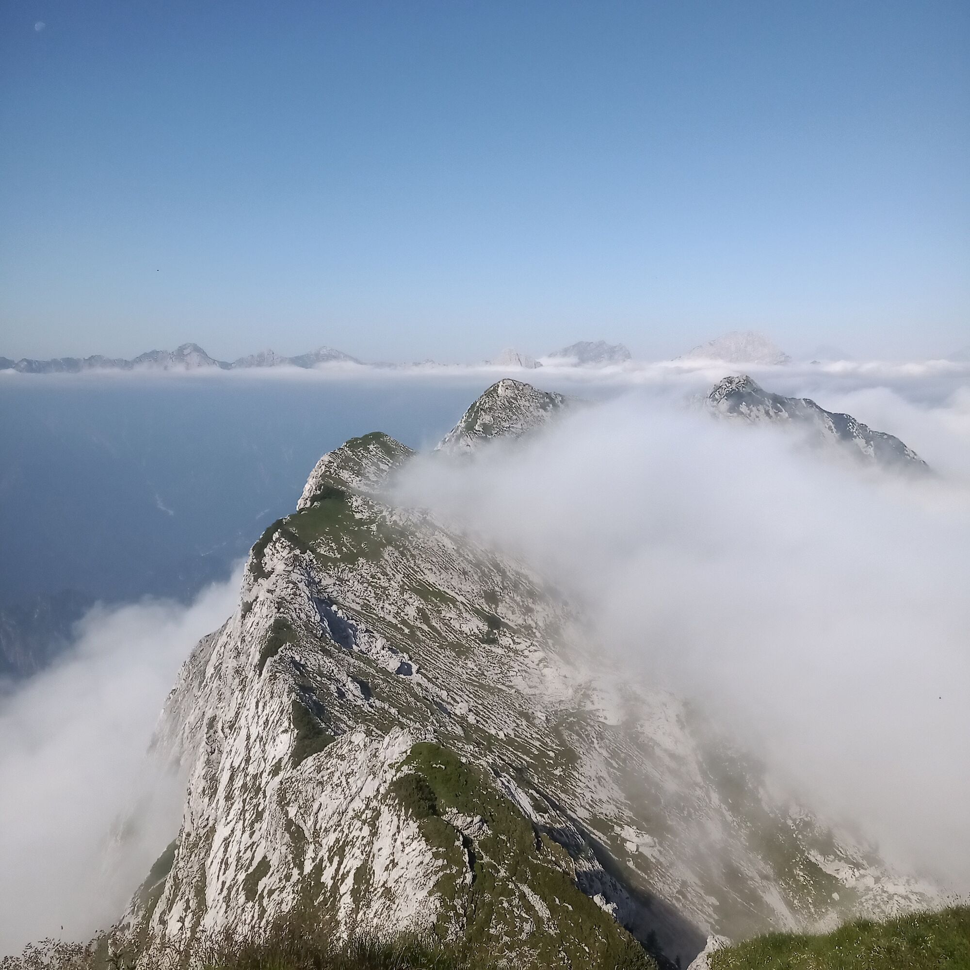
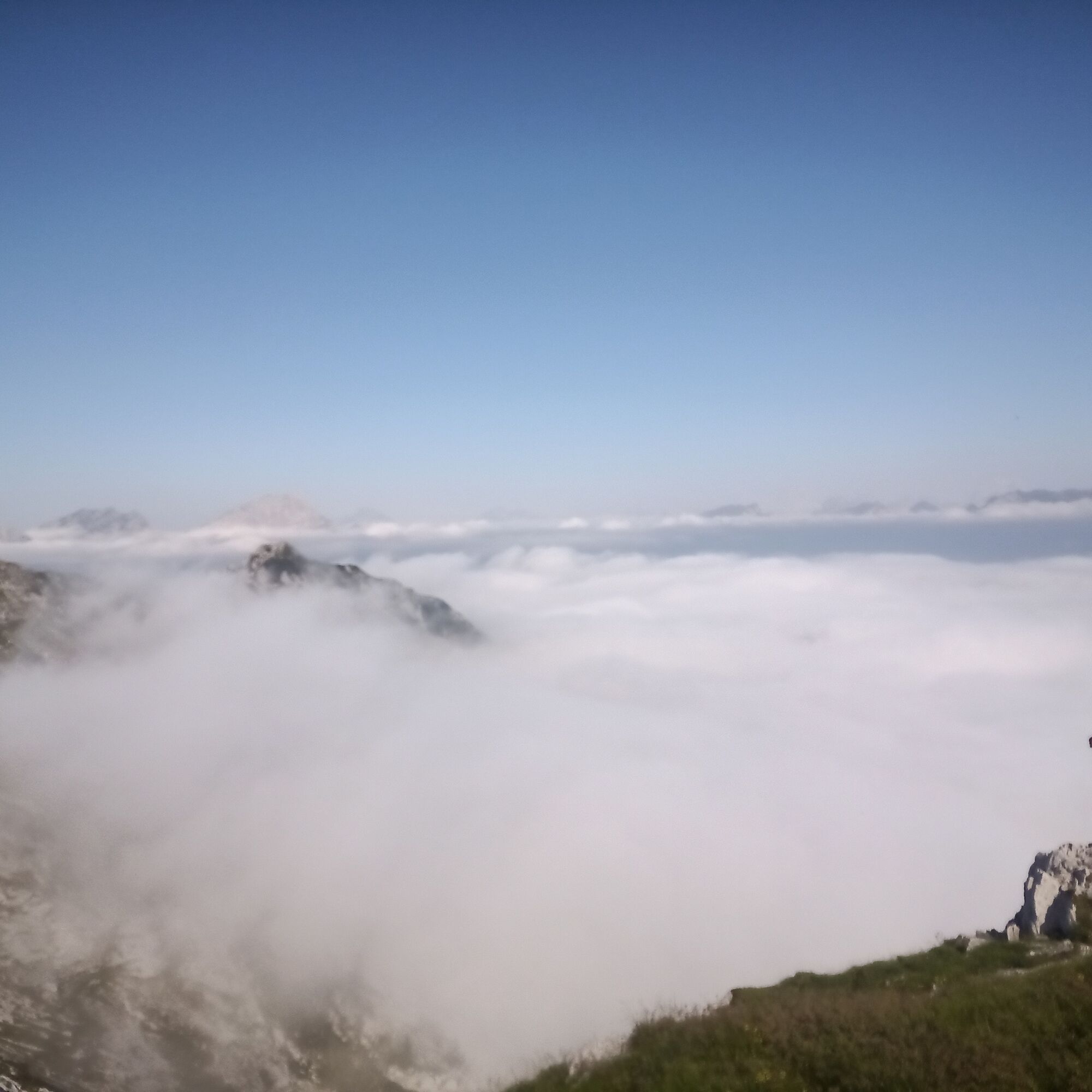
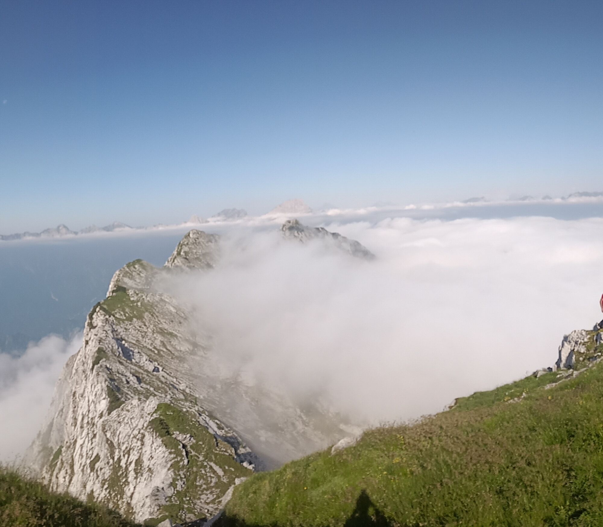
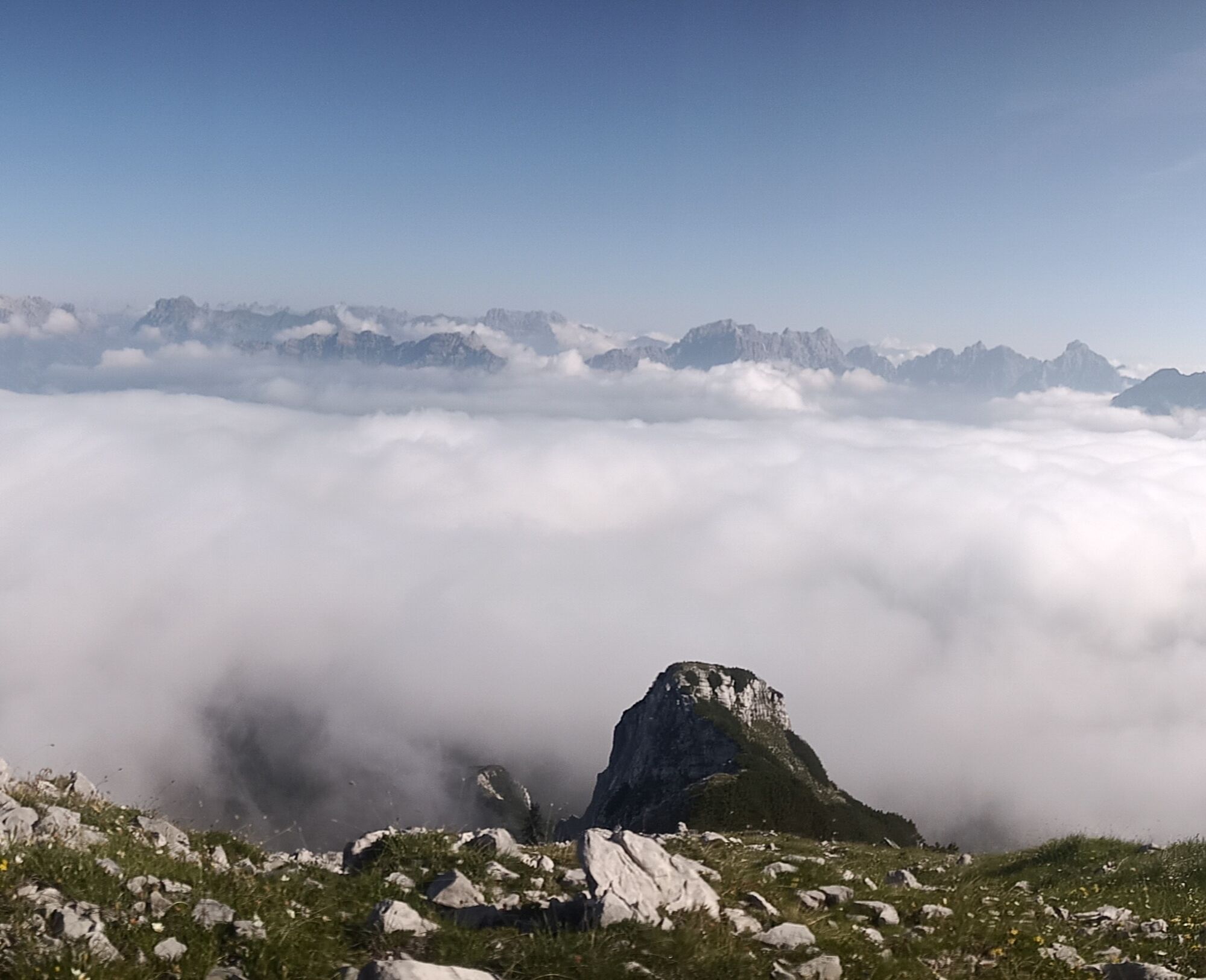
This route in the Parco delle Dolomiti Friulane offers unique satisfaction thanks to the magnificent views and vibrant colors of the environment especially during early autumn. From the summit, you can admire the mountains surrounding the Cimoliana and Settimana valleys, as well as the picturesque Lake Barcis. The view ranges from the Cavallo-Col Nudo chain to the Friulian plain, which extends to the Adriatic lagoons, creating an extraordinary natural scene. The return is on the same route as the ascent, allowing you to relive the emotions of climbing. The area, located between 1650 m altitude and the mountain ridge along the northern slope of the Frate and Resettum chain, is famous for its fascinating system of karst phenomena. In this part of the Carnic Prealps, the karst of Monte Resettum stands out for its peculiarity, being the second most interesting in western Friuli, just after the Cansiglio-Cavallo Plateau.

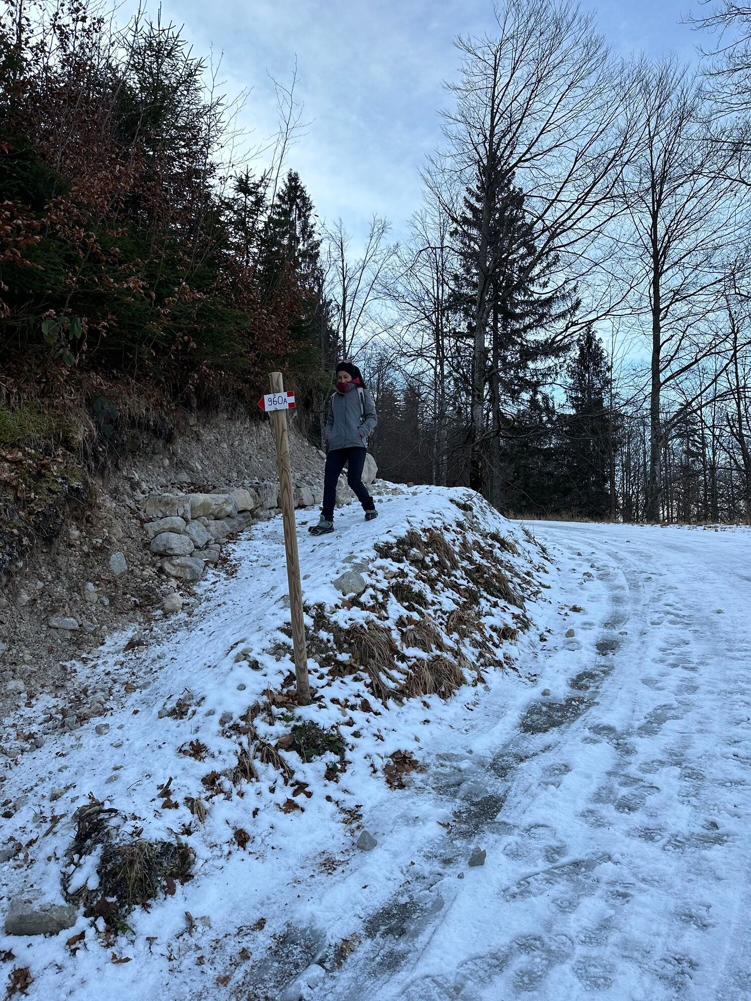
From the parking lot, take the CAI 960a trail that cuts across the numerous bends of the forest road that climbs to Rifugio Pradut.
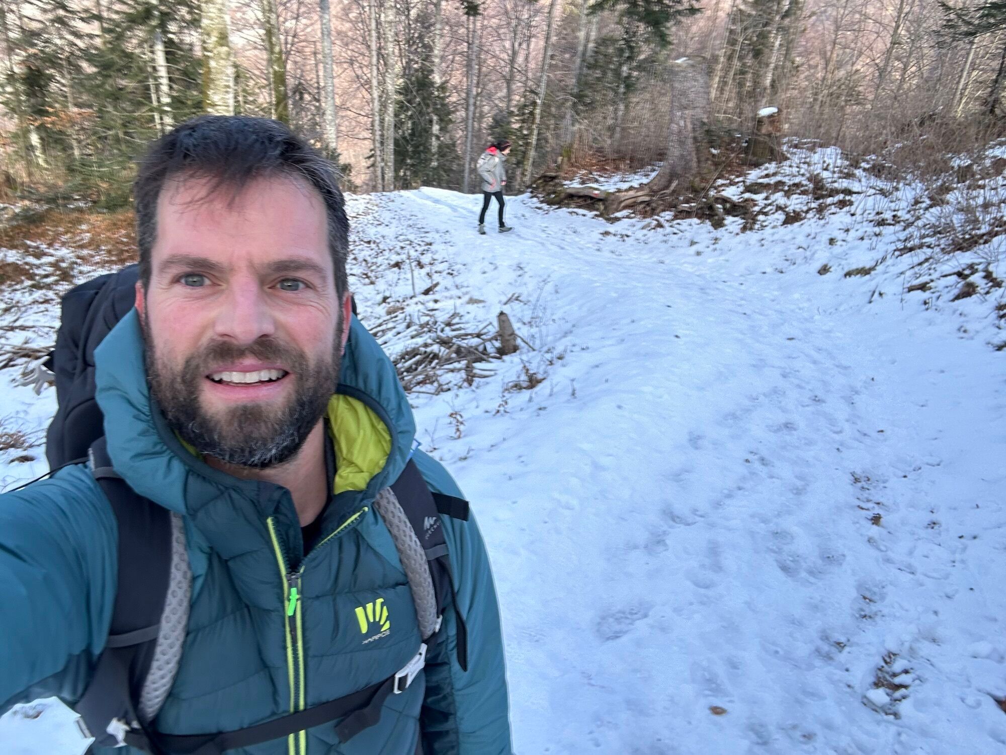
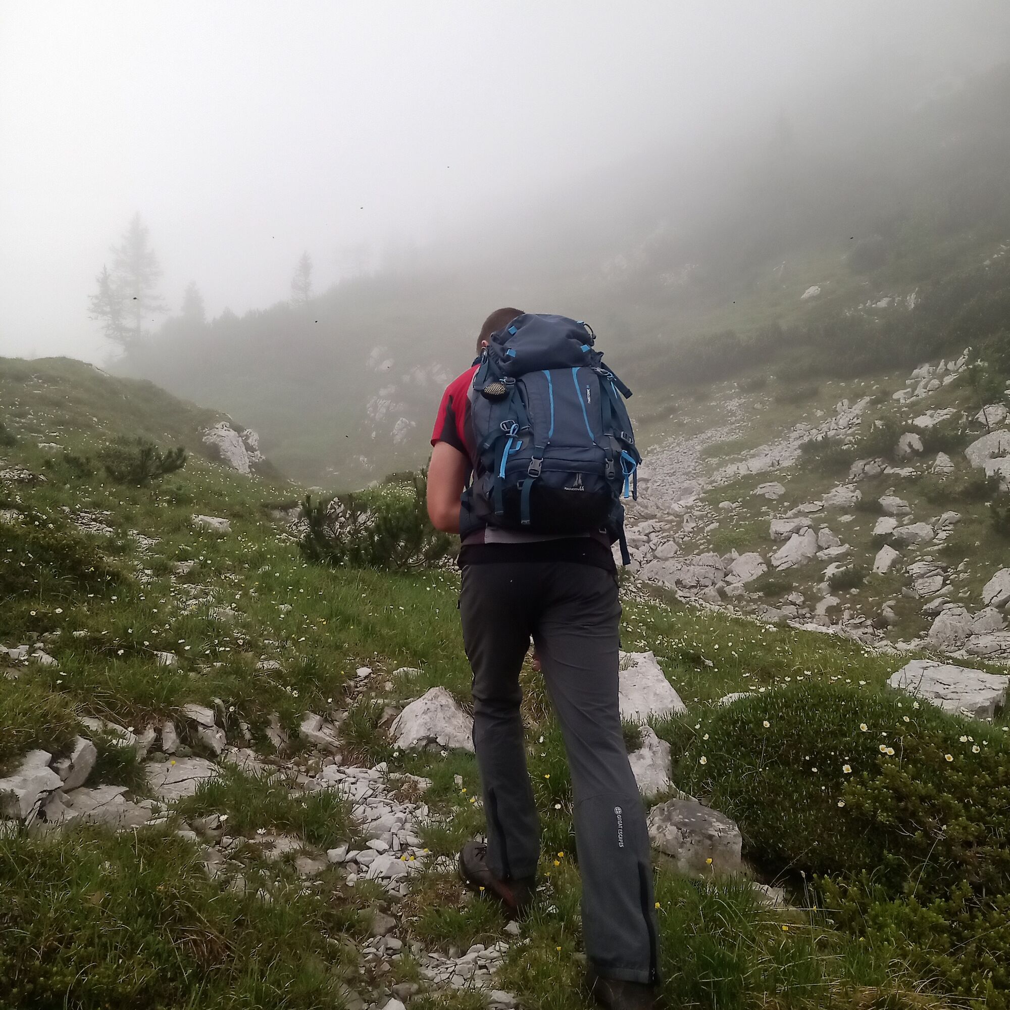
From the Refuge, continue for a few hundred meters along the CAI 960 road heading to Casera Resettum. After following this road, turn left at a cairn onto CAI 961; it is recommended to take the second track, just 10 meters from the first. Then start climbing along a rarely used path, marked by sporadic red dots and cairns, until you reach Forcia Bassa (1749 m). From this point, continue keeping to the left and follow the cairns on a trail through a karst area where caution is important: the route does not present technical difficulties except for the last 100 meters of elevation gain, where a steep grassy gully and some slightly exposed sections require attention especially in case of poor visibility.
The return is along the same ascent route.
Ano
Ano
Ano
Normal hiking, depending on the season.
The route has no technical difficulties except for the last 100 meters of elevation gain, where a steep grassy gully and some slightly exposed sections require caution, sure footing, and no vertigo.
Starting from Montereale, follow the Val Cellina for a long stretch until you reach the bridge over the Cimoliana stream, located just before Cimolais. Here turn right towards Claut. Once arriving in the village, follow the signs to Lesis. After passing the small hamlet and the subsequent bridge, you reach Pian del Muscol, where there is a large paid parking area at 640 meters altitude, ideal for a comfortable stop.
The starting area of the hike is not served by public transport.
Large paid parking lot at the end of the Lesis hamlet.
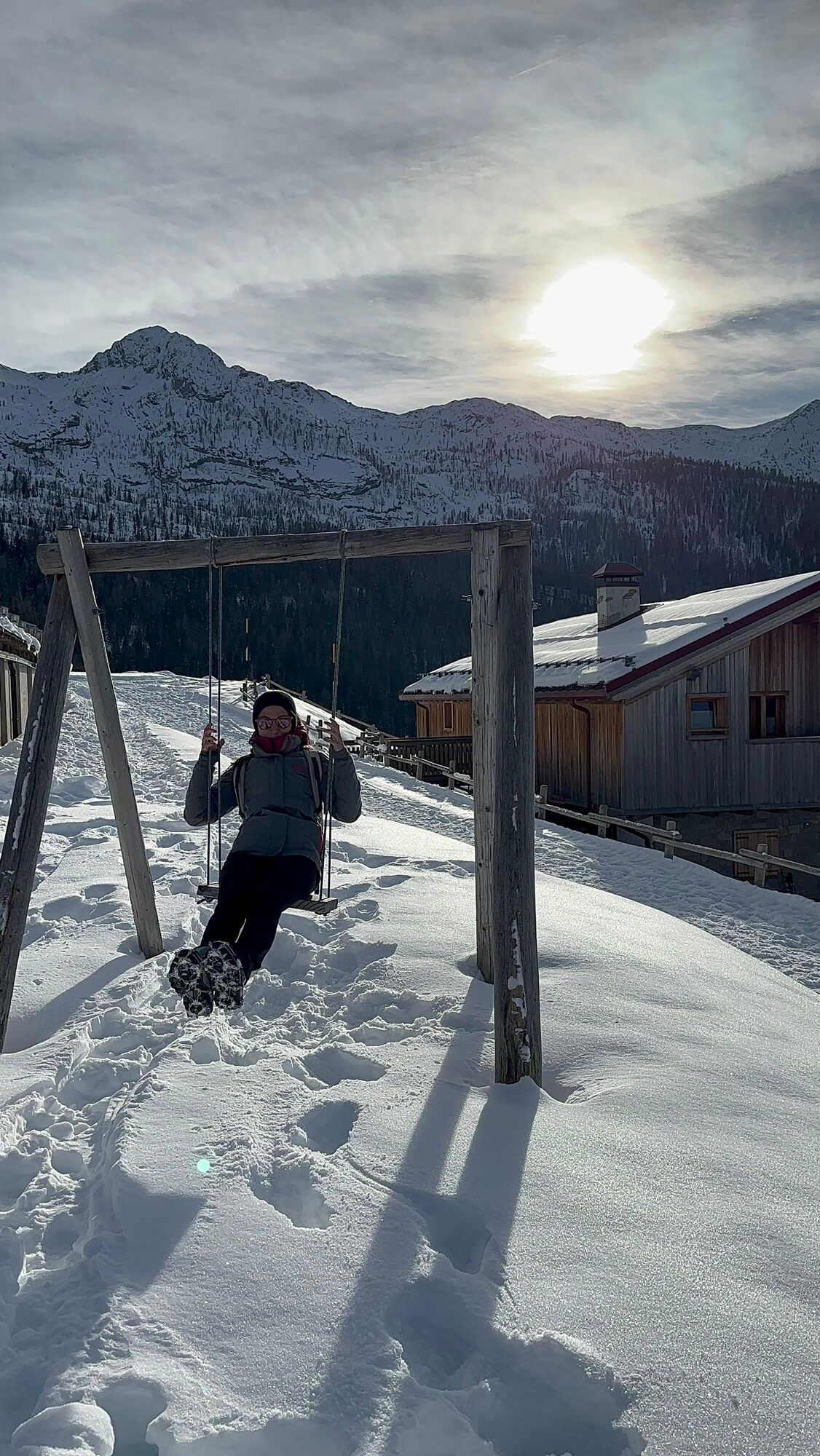
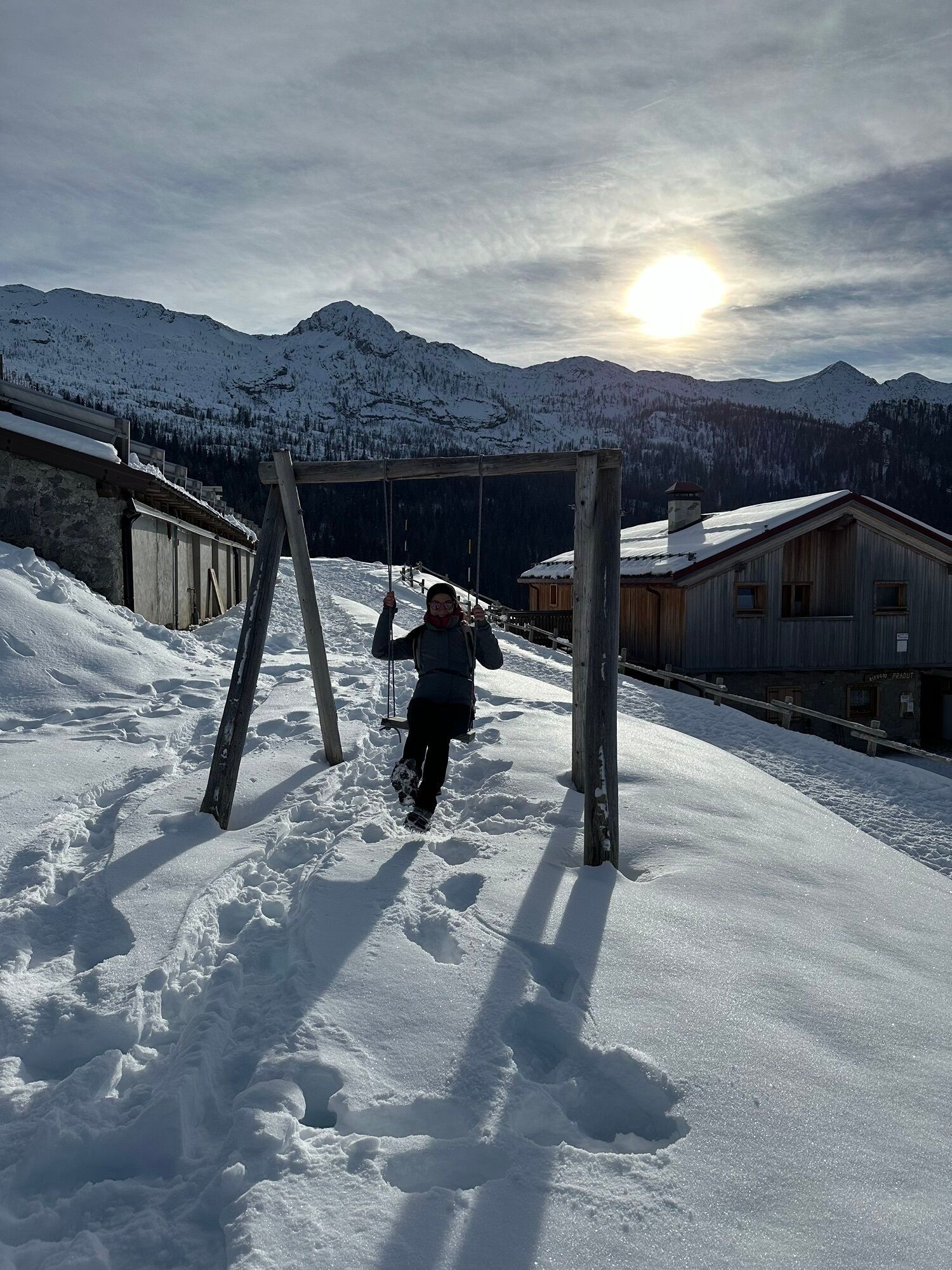
During the open season, the Casera Pradut refuge offers the possibility to stay overnight and dine.


Oblíbené prohlídky v okolí
- 4,0
Dint Trail
středníTuristika 4,34 km - 3,5
Pala d'Altei da Grizzo
světloTuristika 11,5 km - 4,5
RING OF LAKE BARCIS
světloTuristika 5,64 km - 5,0
Raut da Palabarzana
středníTuristika 9,72 km FRASSANEIT AND LAGO DEL CIUL
středníTuristika 11,4 kmSentiero dei Forestali in Val Silisia, Lake Cà Selva
středníTuristika 10,8 kmCol dei Piais, San Gualberto Crest Path and new Truoi de Thep
středníTuristika 12,4 kmTRAIL OF THE LOOKOUTS OF THE CAMPANILE DI VAL MONTANAIA
světloTuristika 3,07 km- 5,0
Monte Ciavac
středníTuristika 6,05 km TREKKING FORCELLA DEL DURANNO
heavyTuristika 15,1 km
Pěší turistika a stopování


Nenechte si ujít nabídky a inspiraci pro vaši příští dovolenou
Vaše e-mailová adresa byl přidán do poštovního seznamu.