







Heiterwang am See - Stuibenfälle
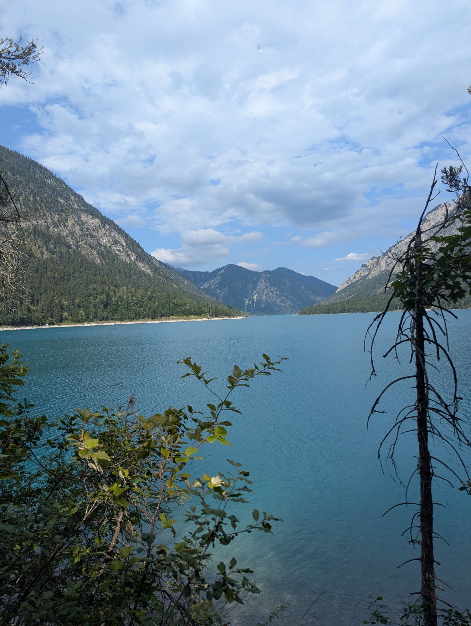
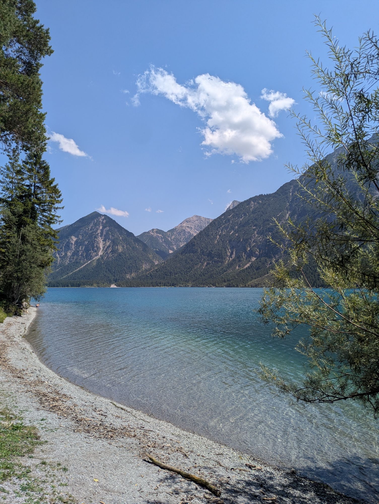
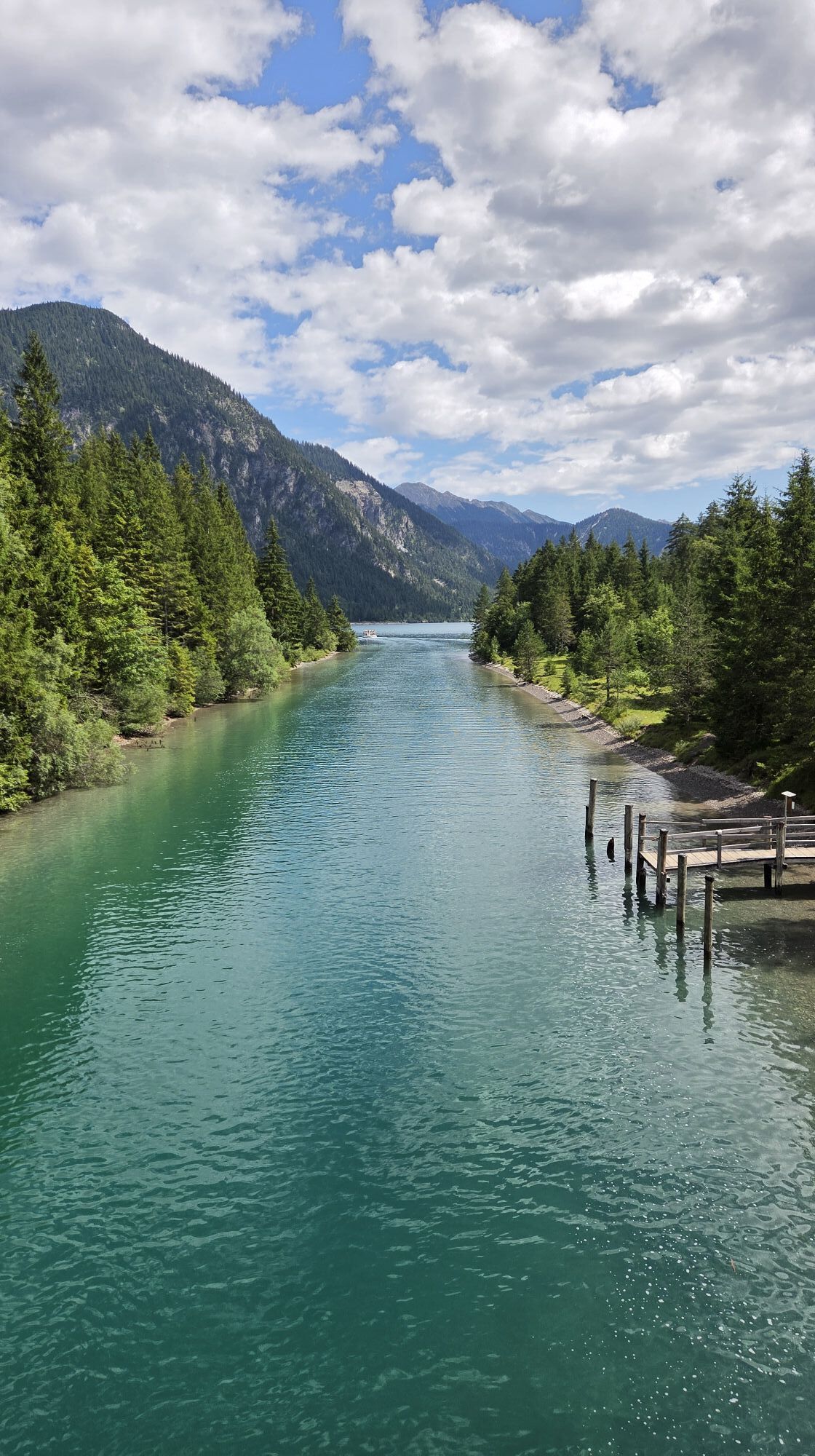
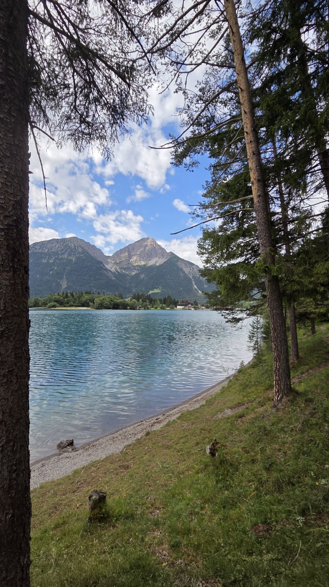
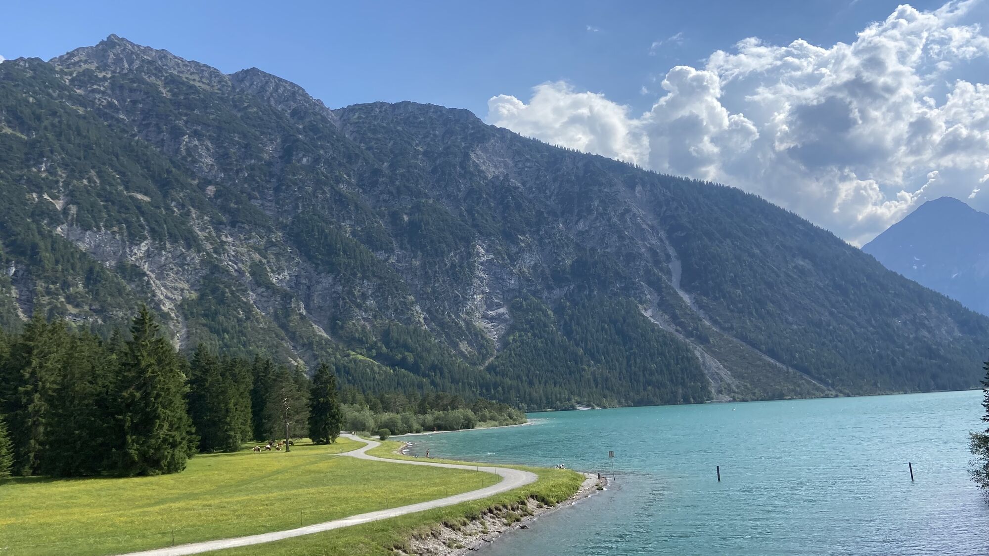
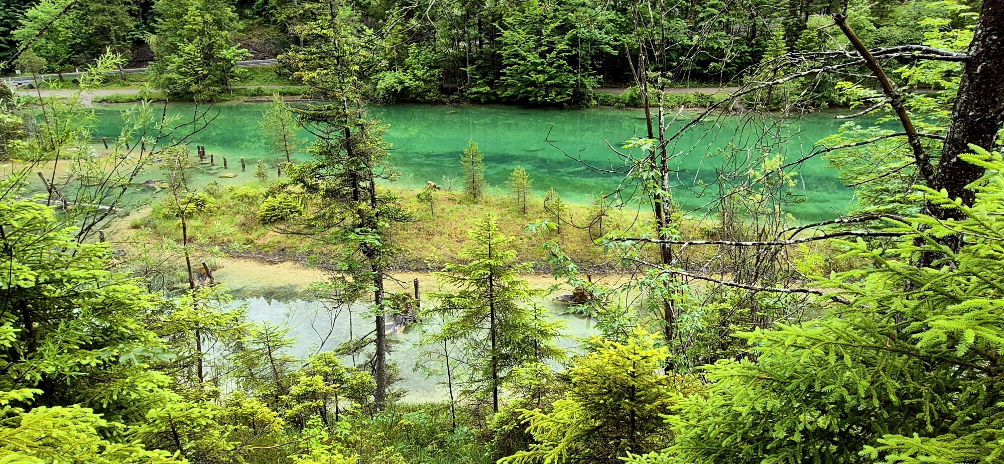
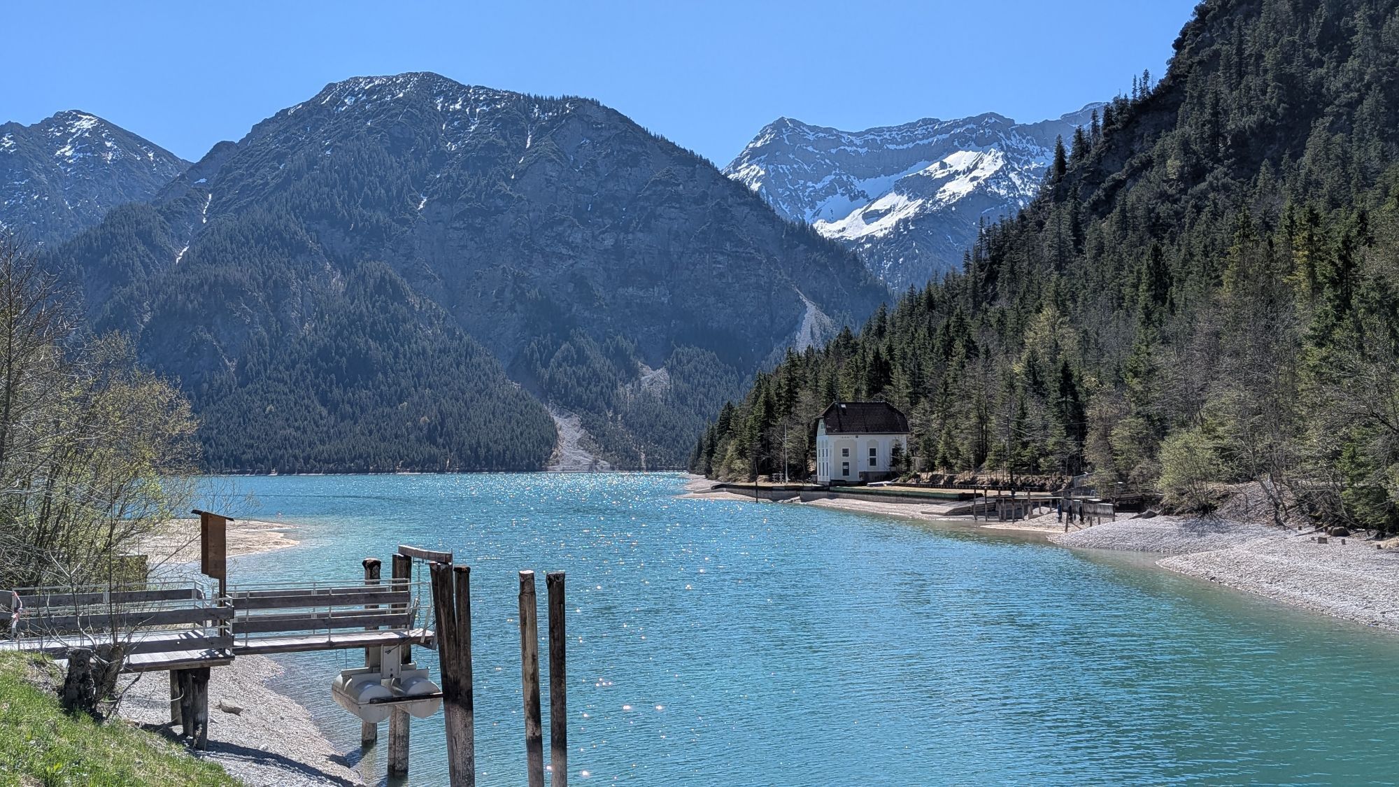
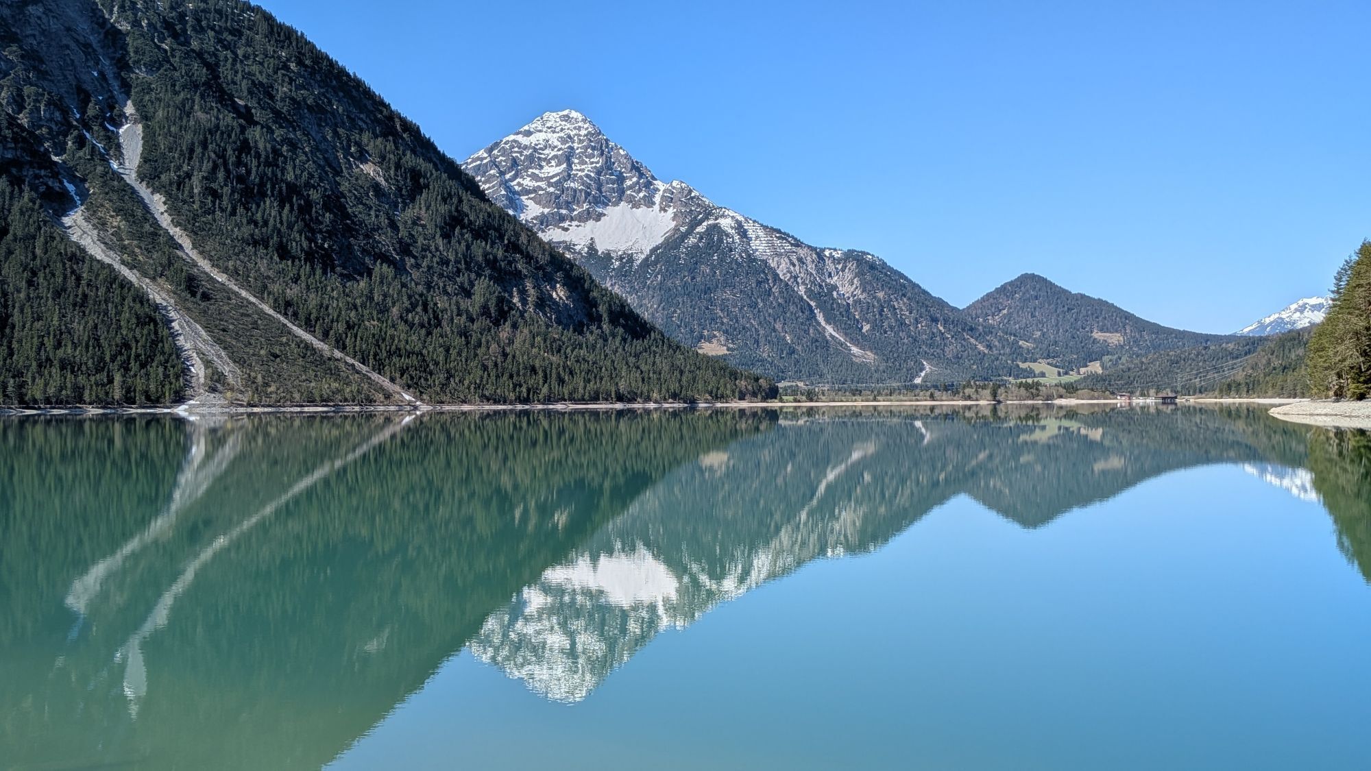
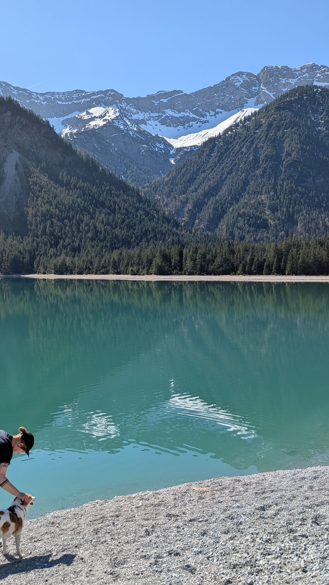
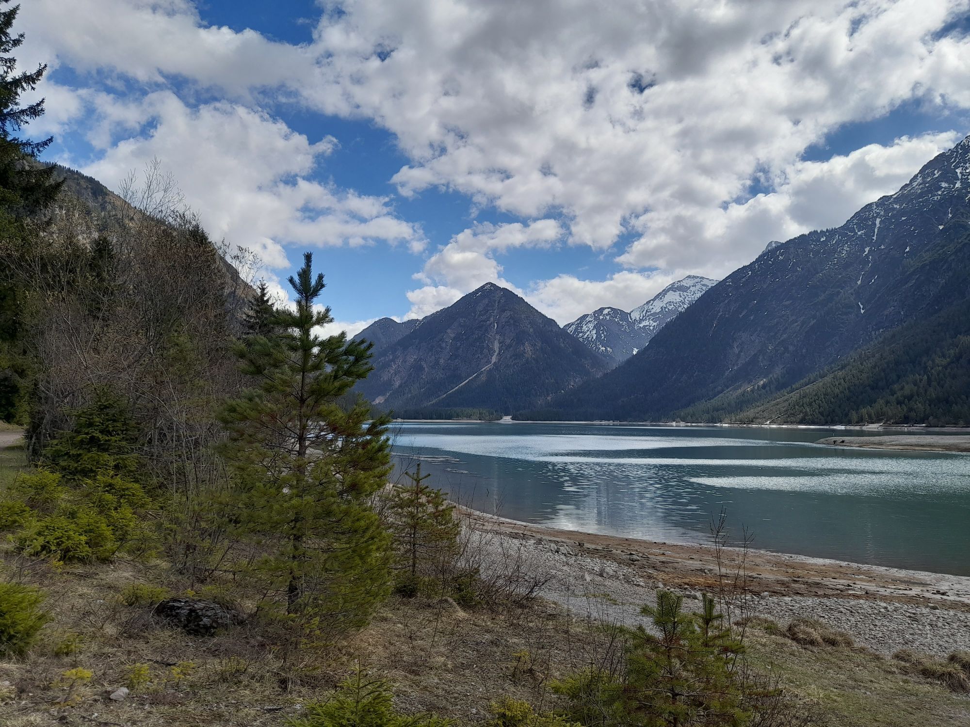
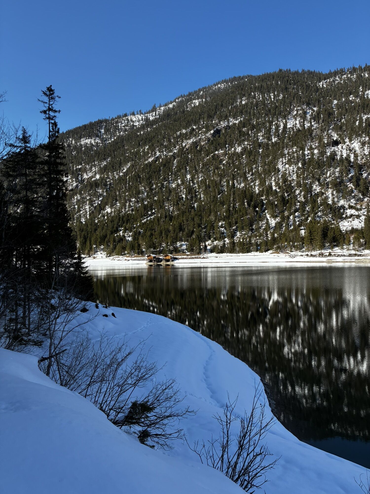
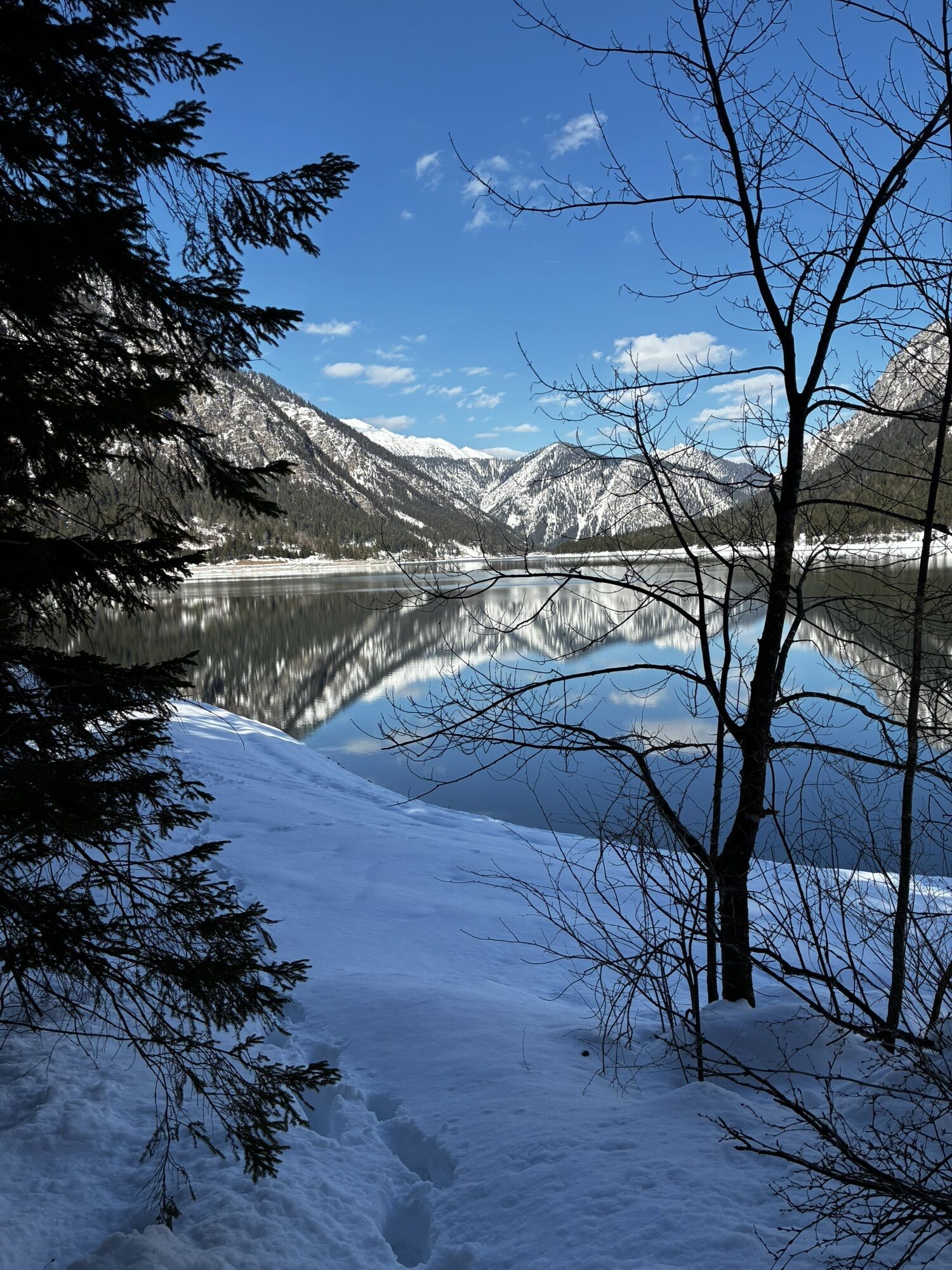
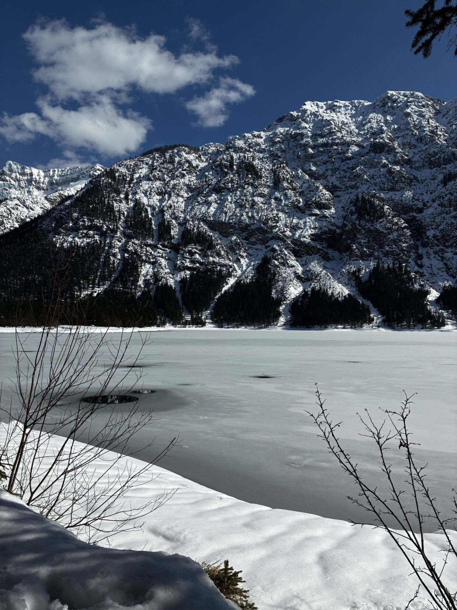
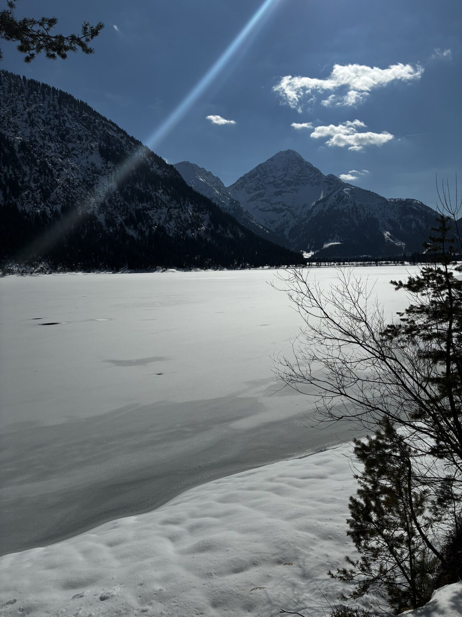
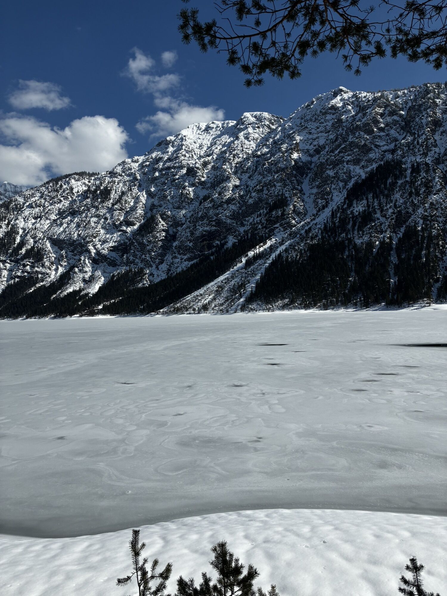
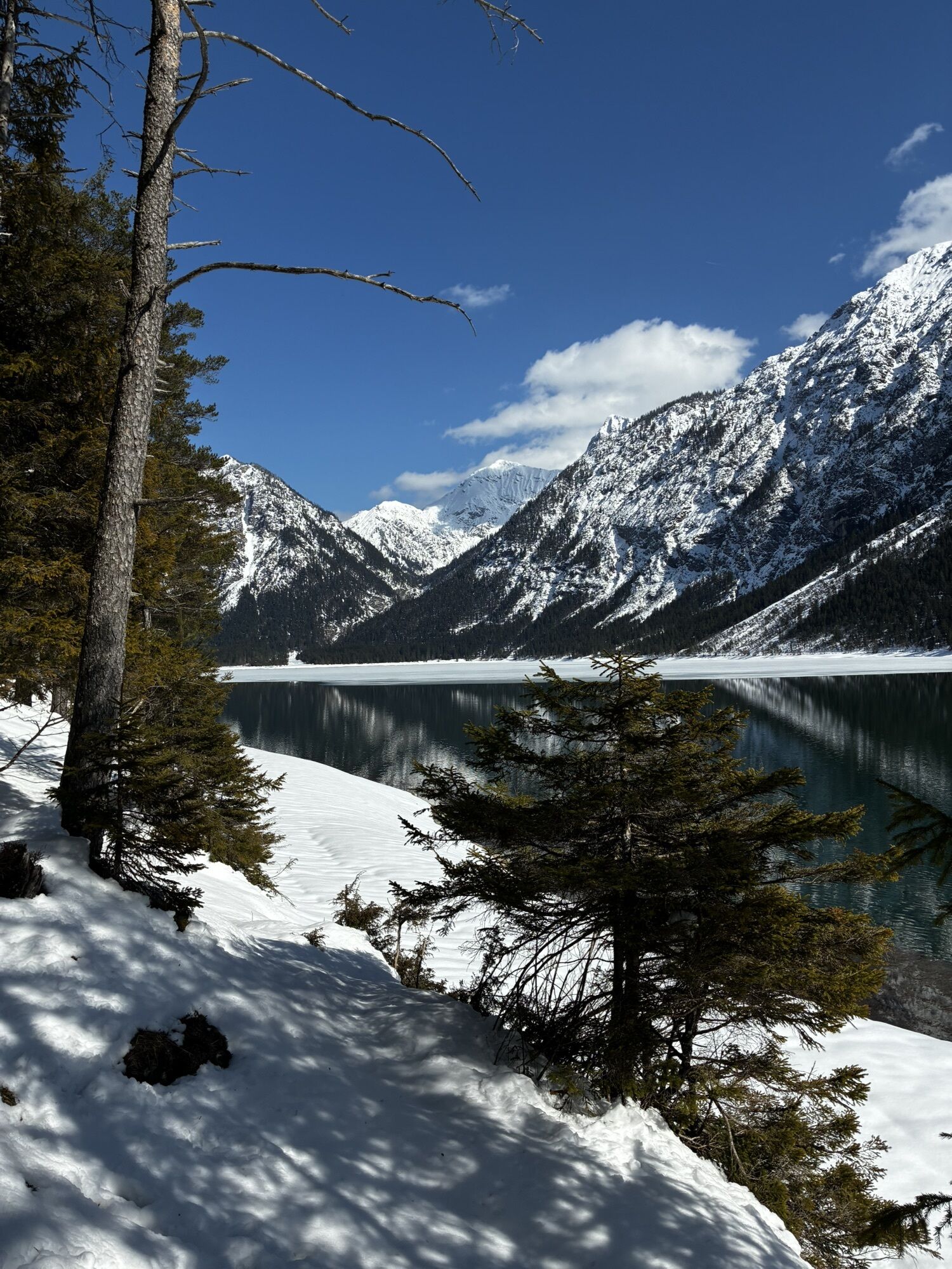
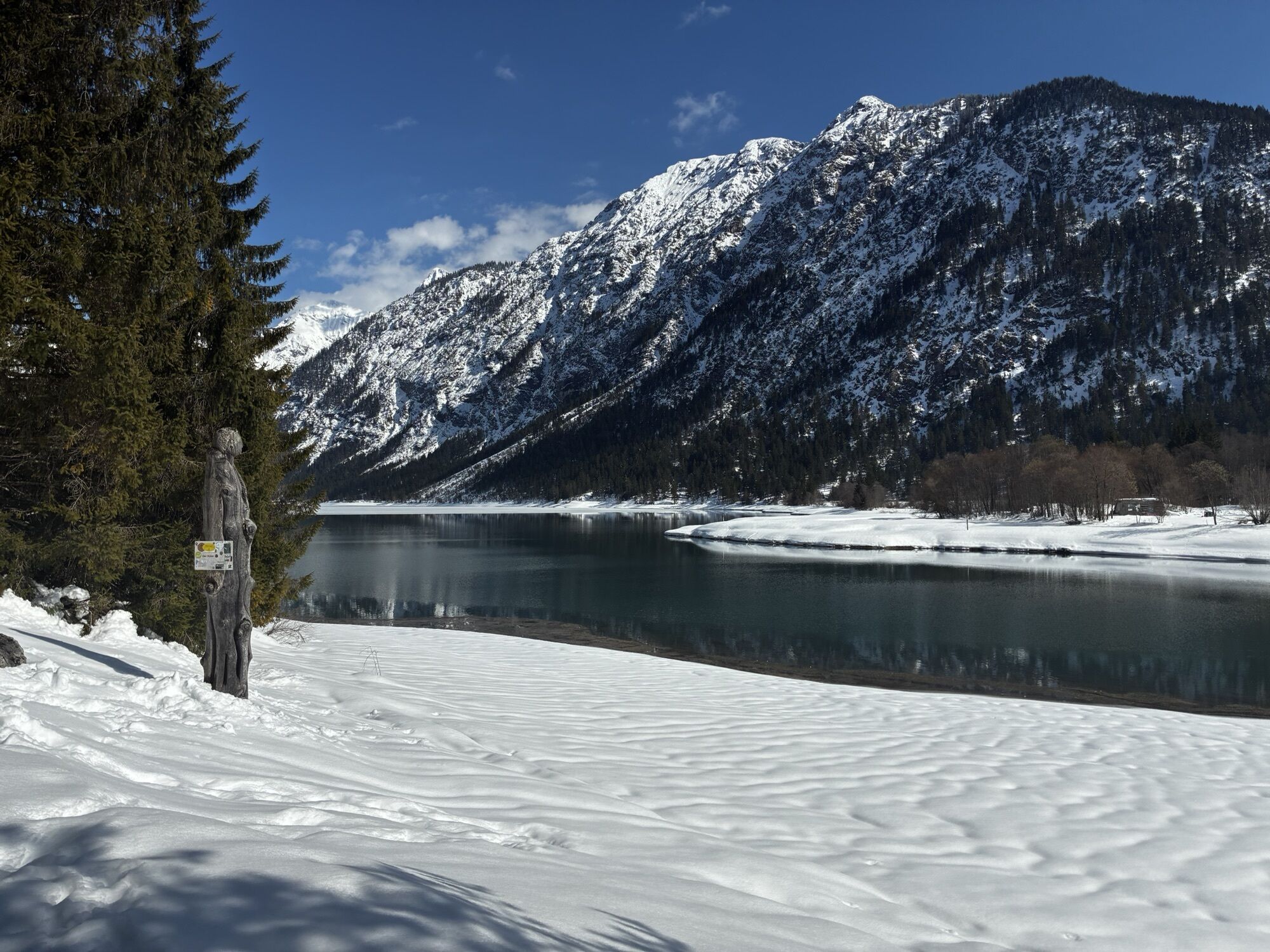
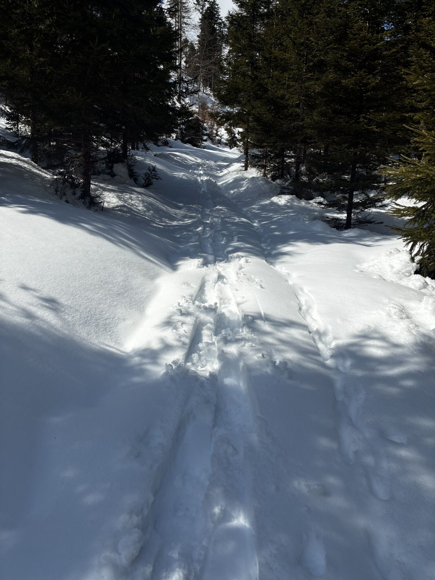
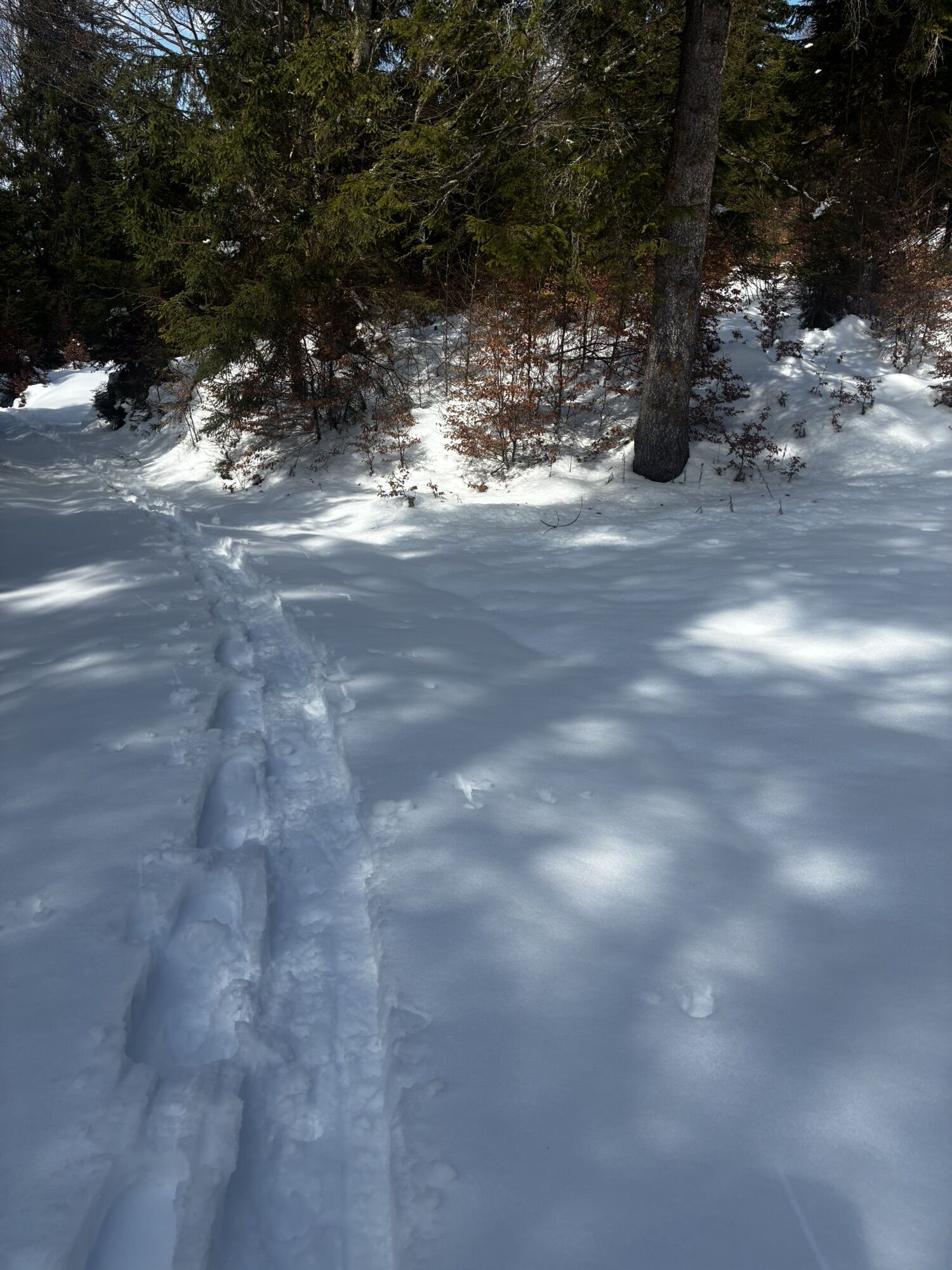
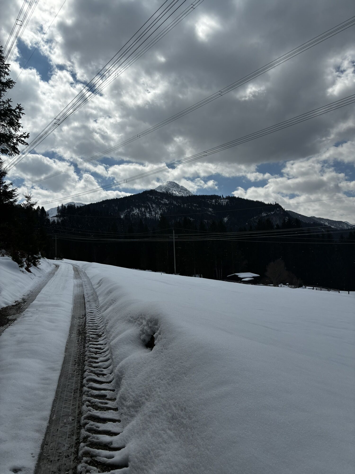
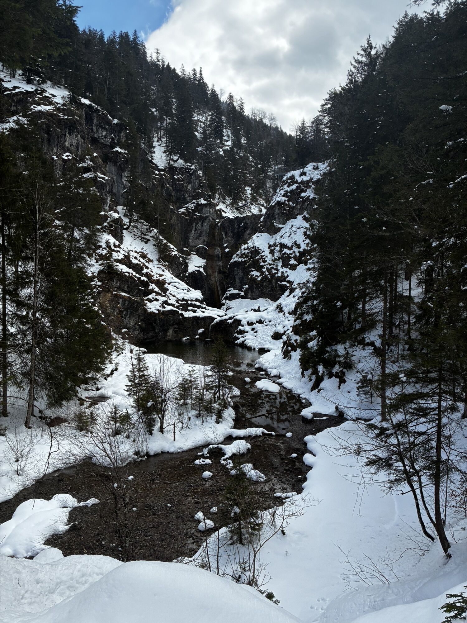
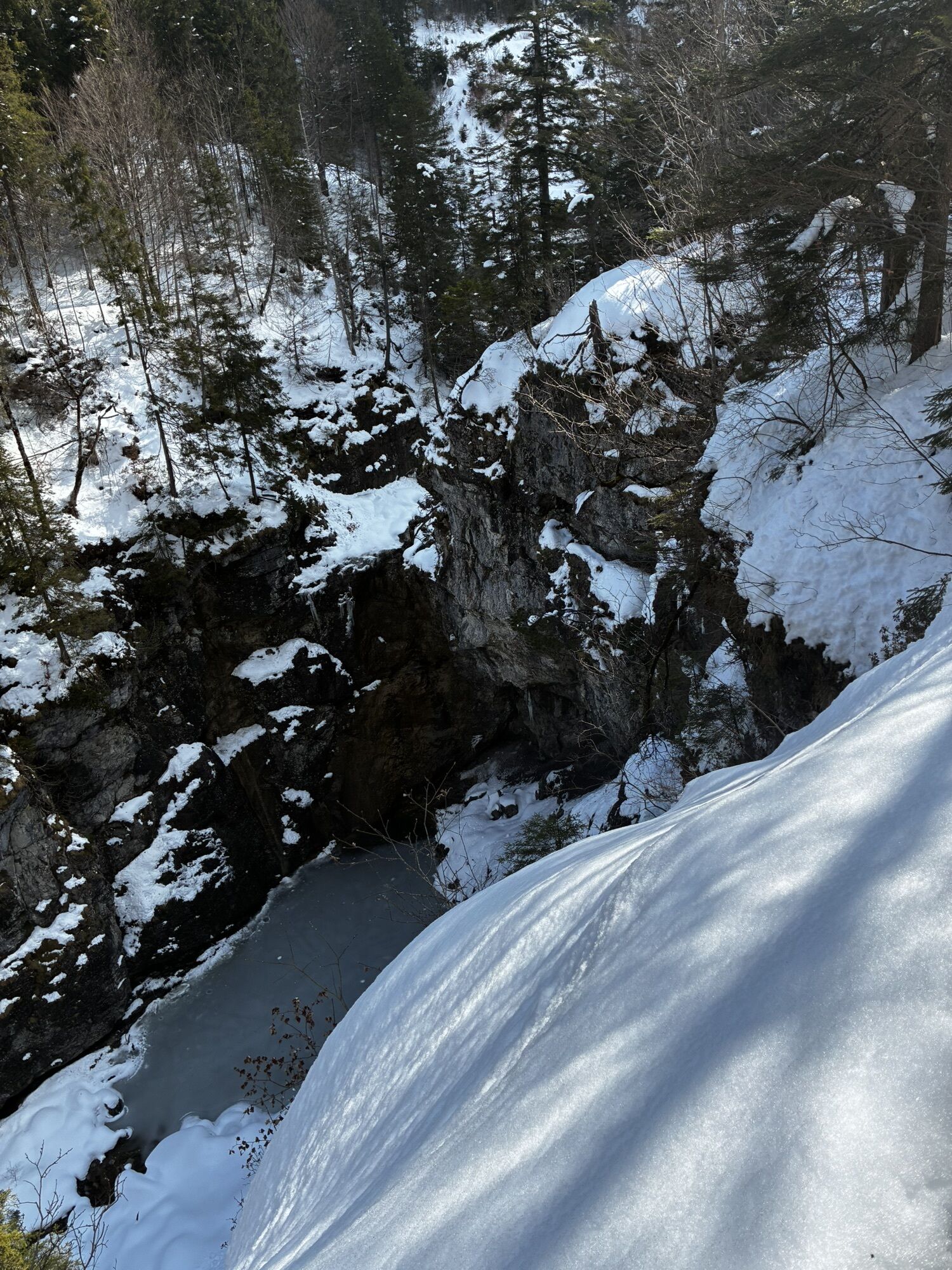
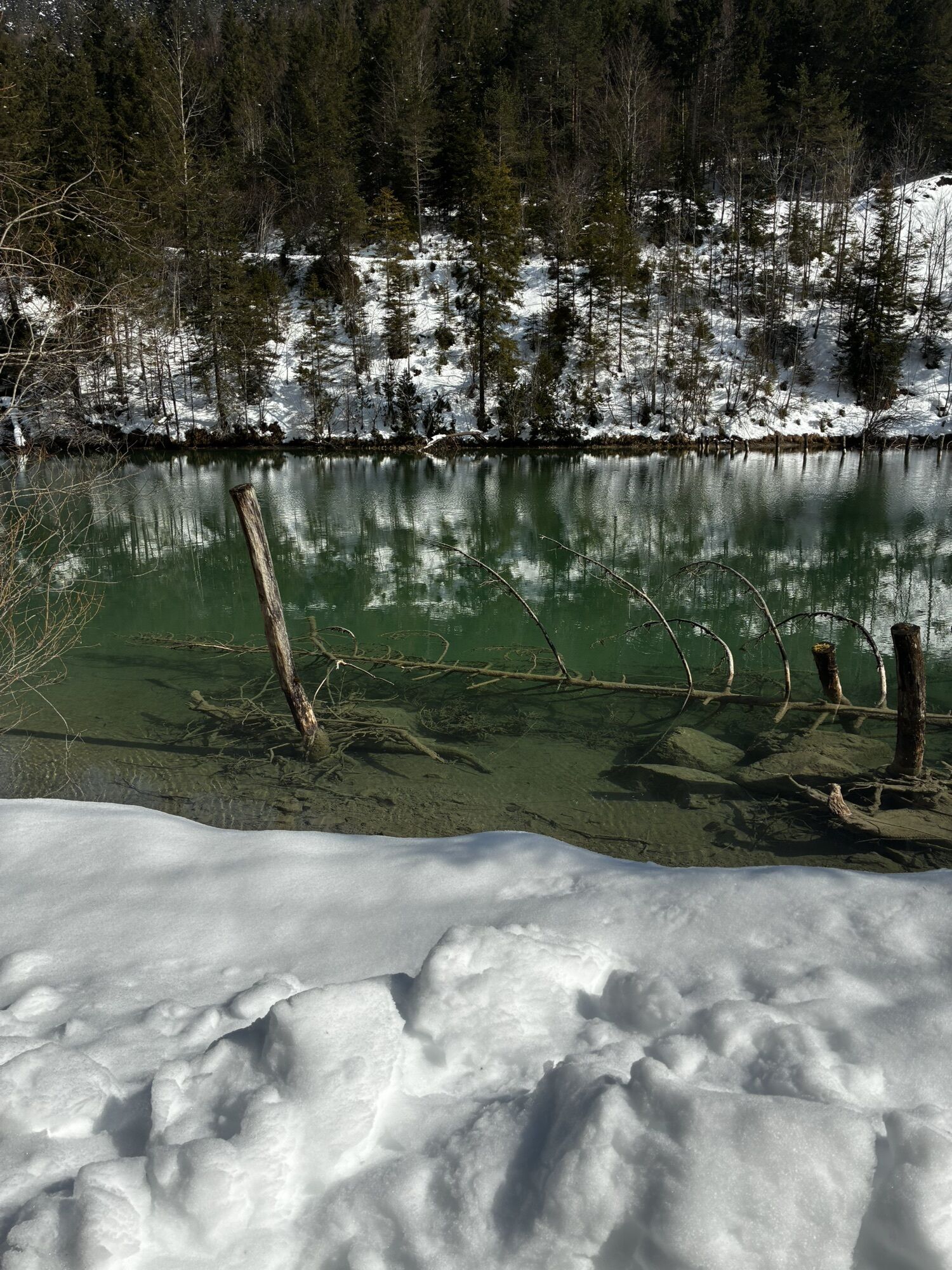
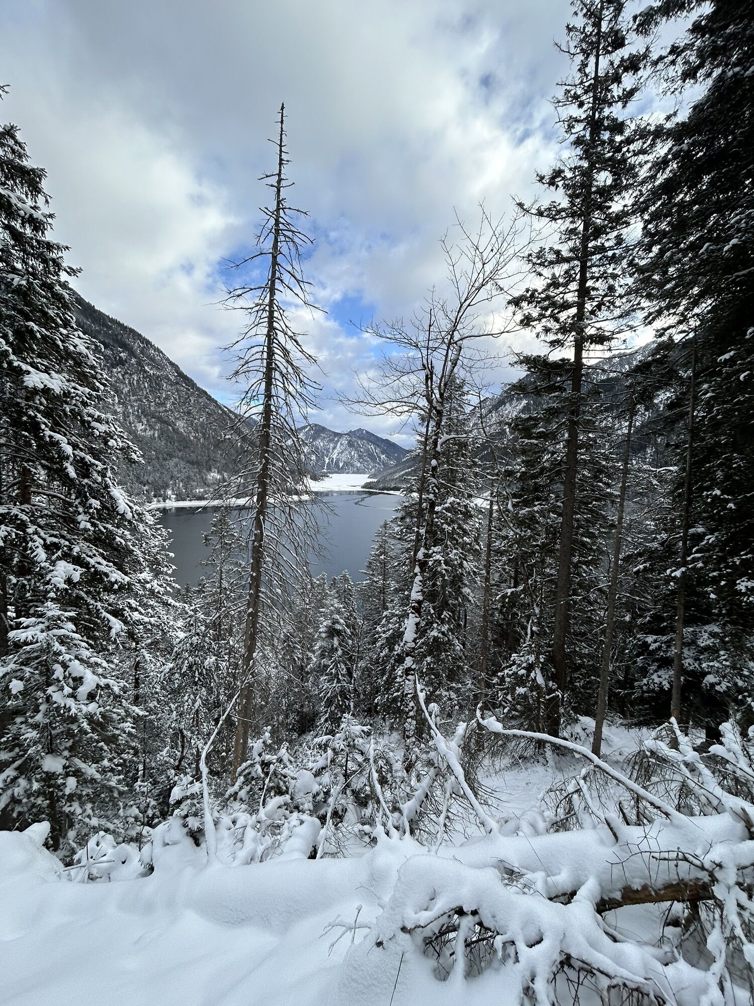
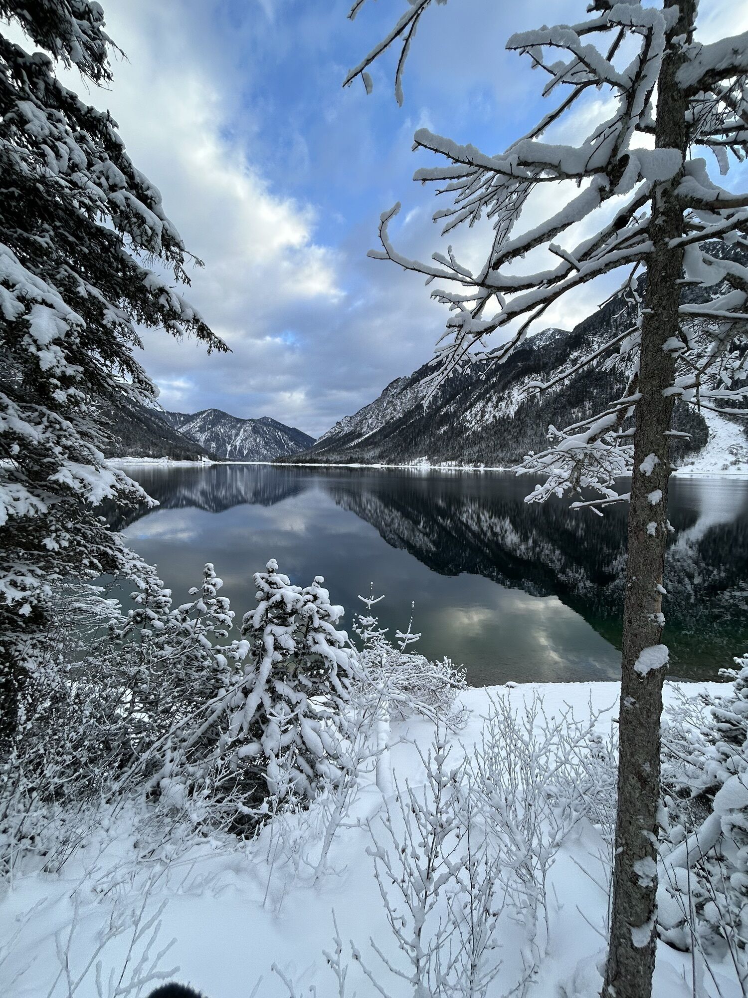
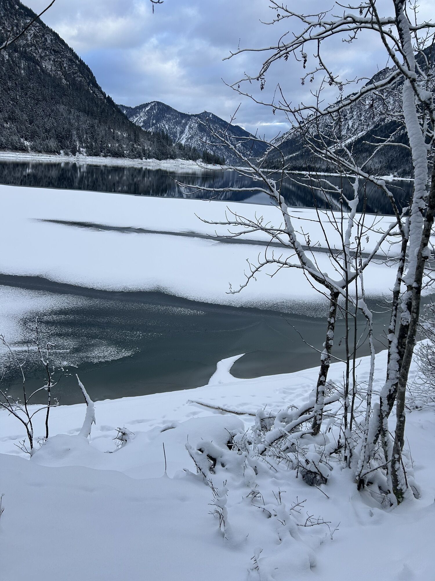
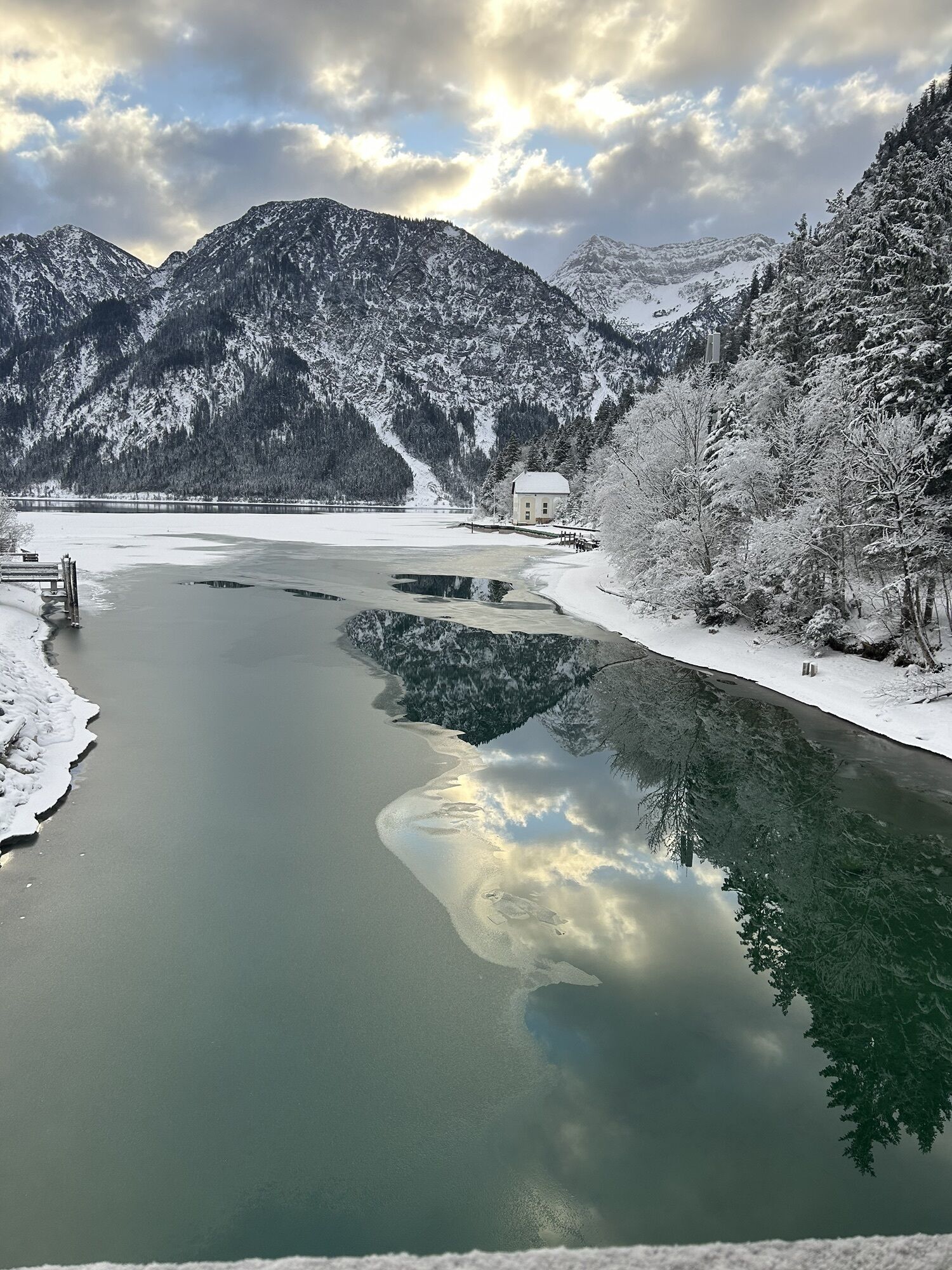
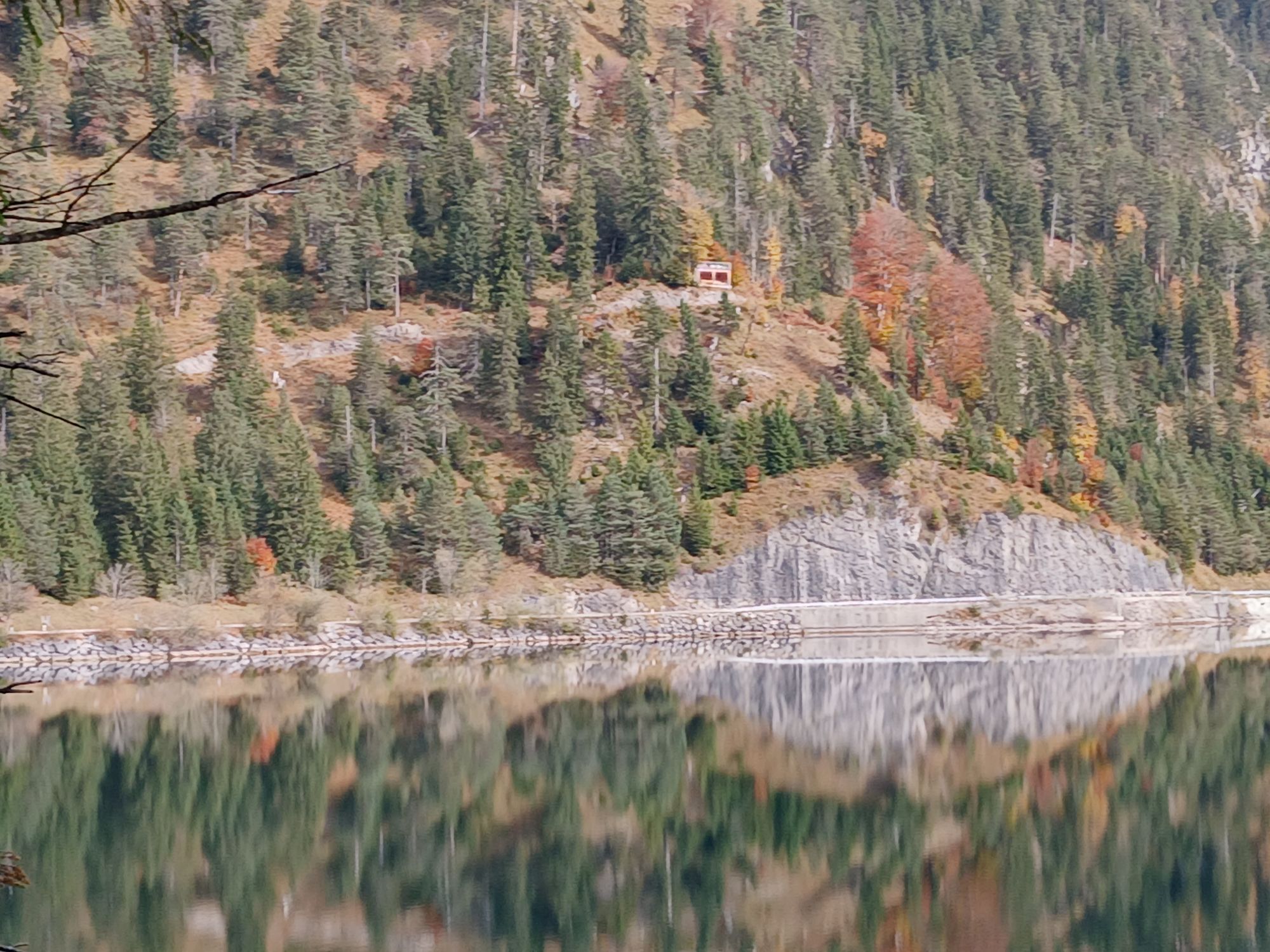
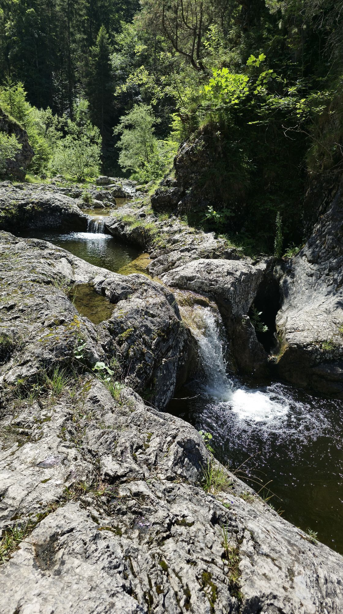
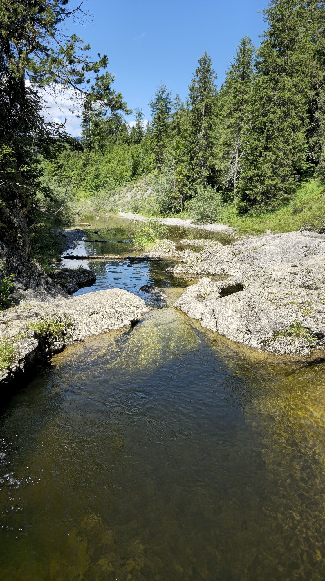
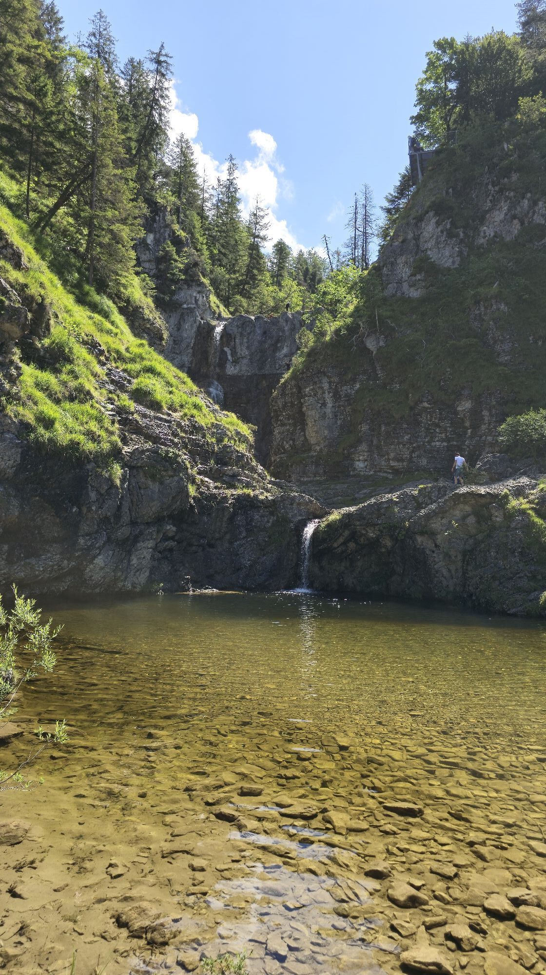

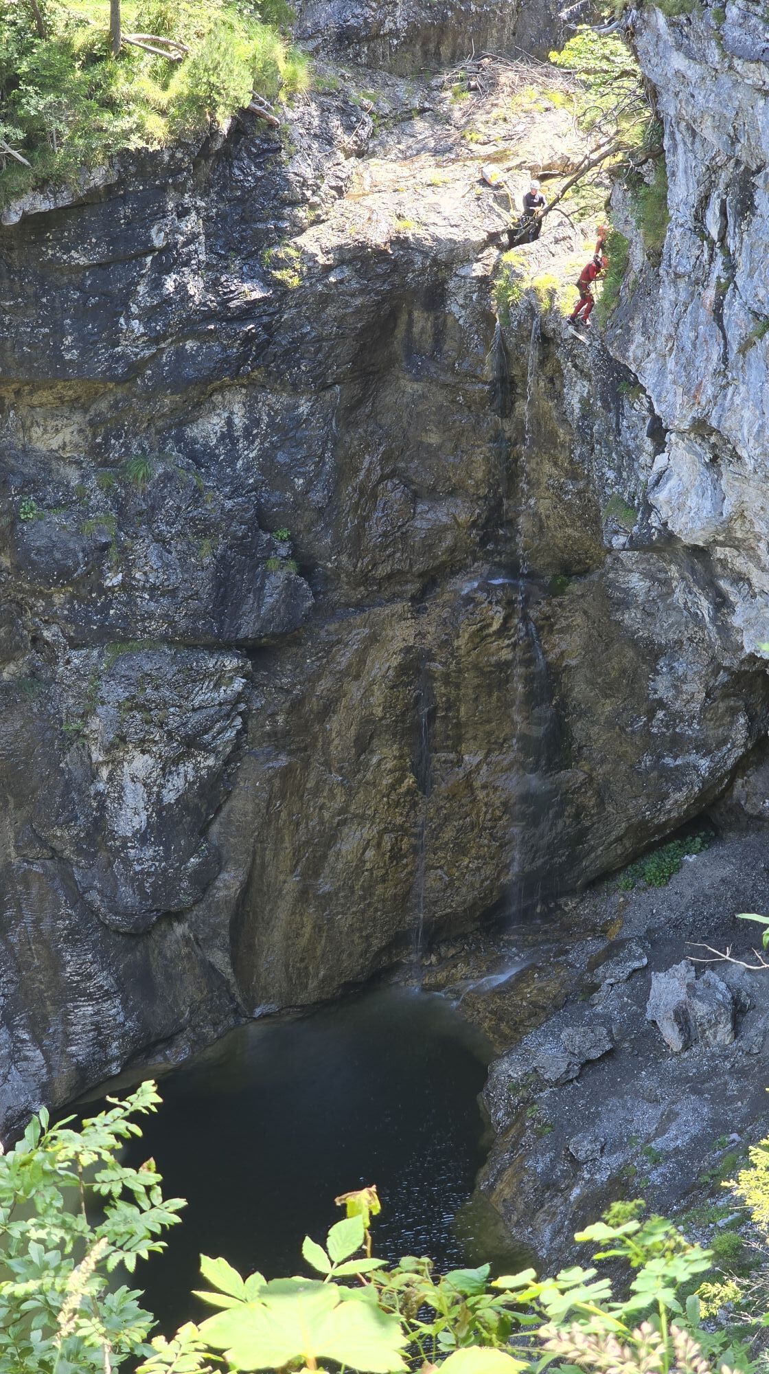
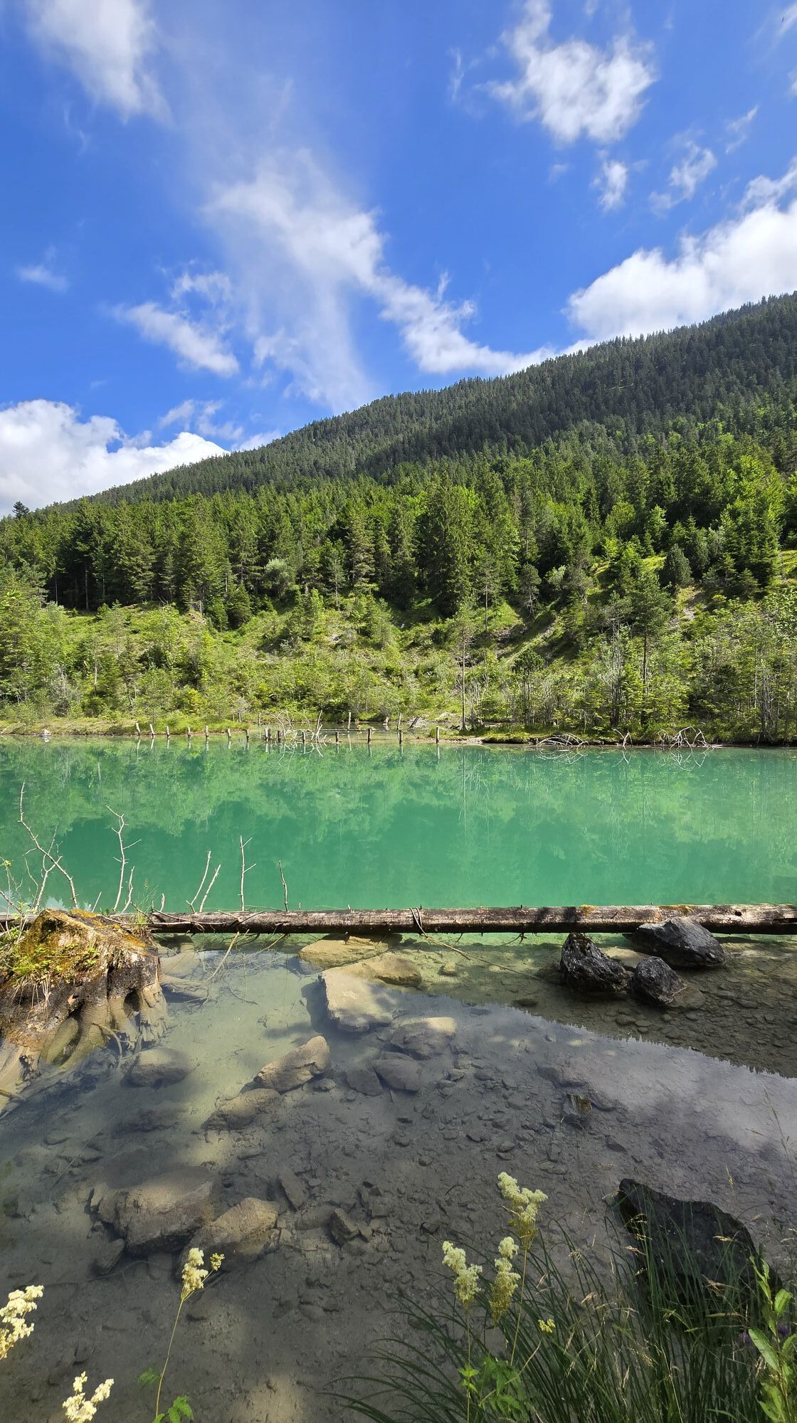
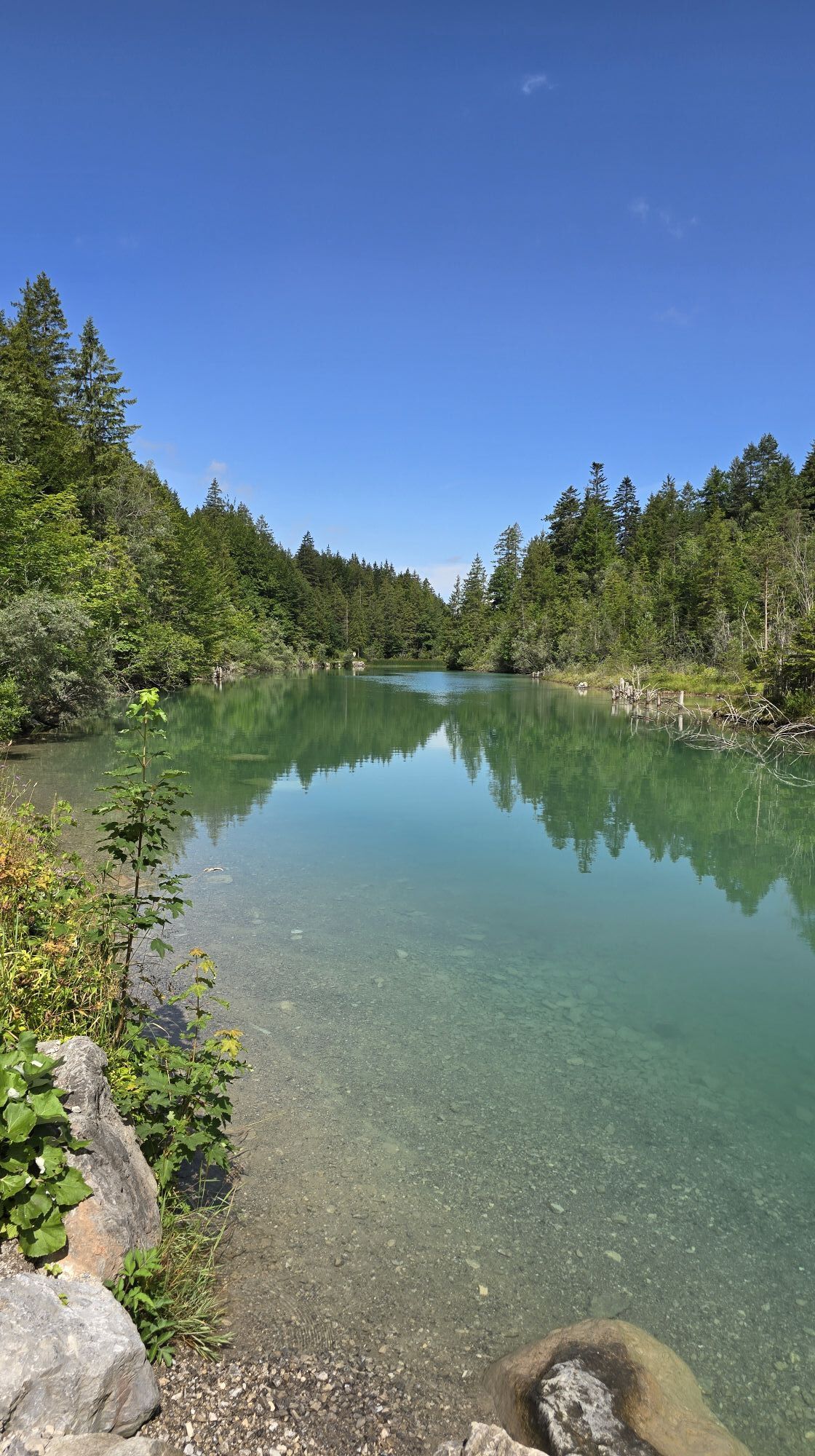
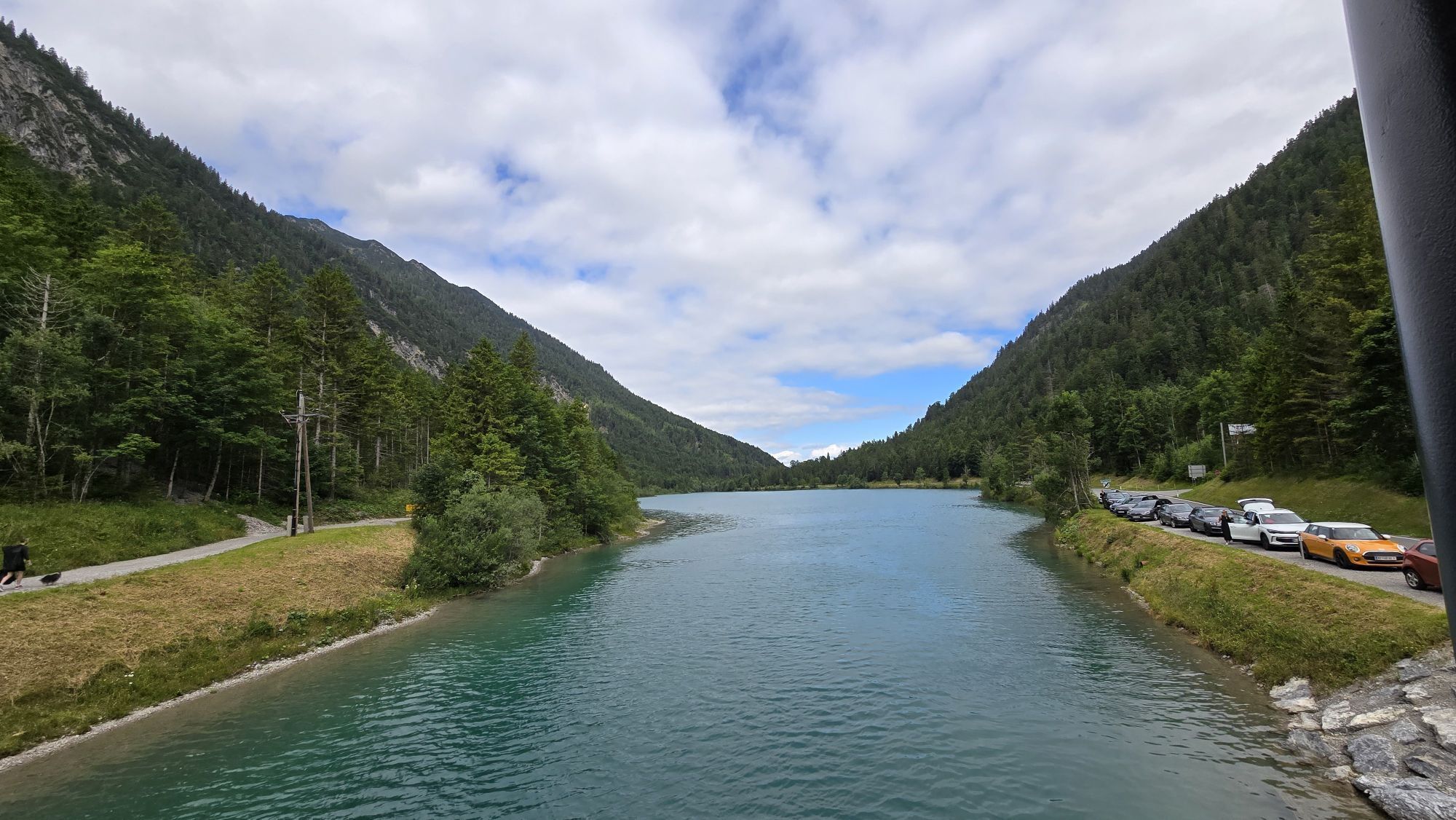
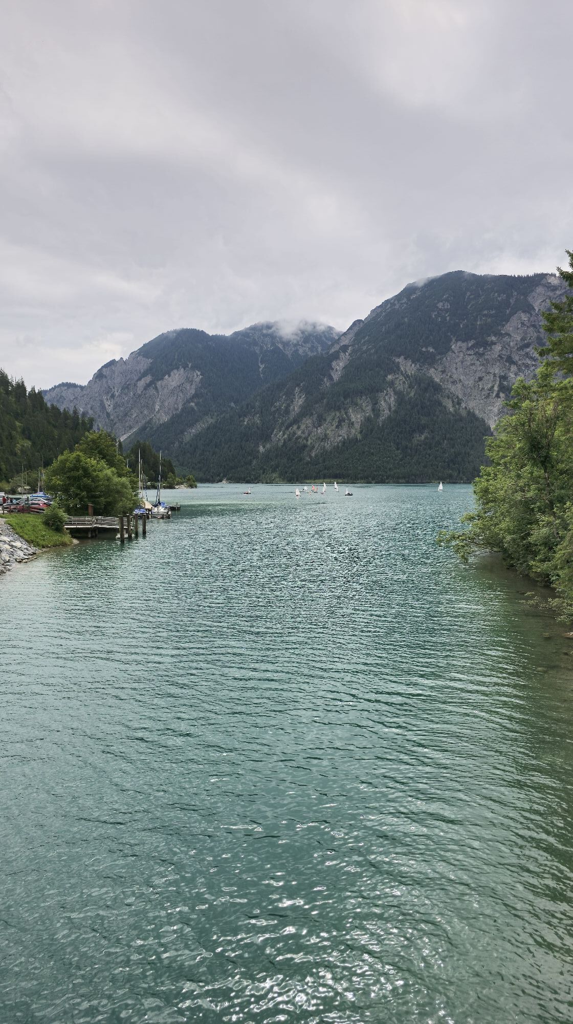
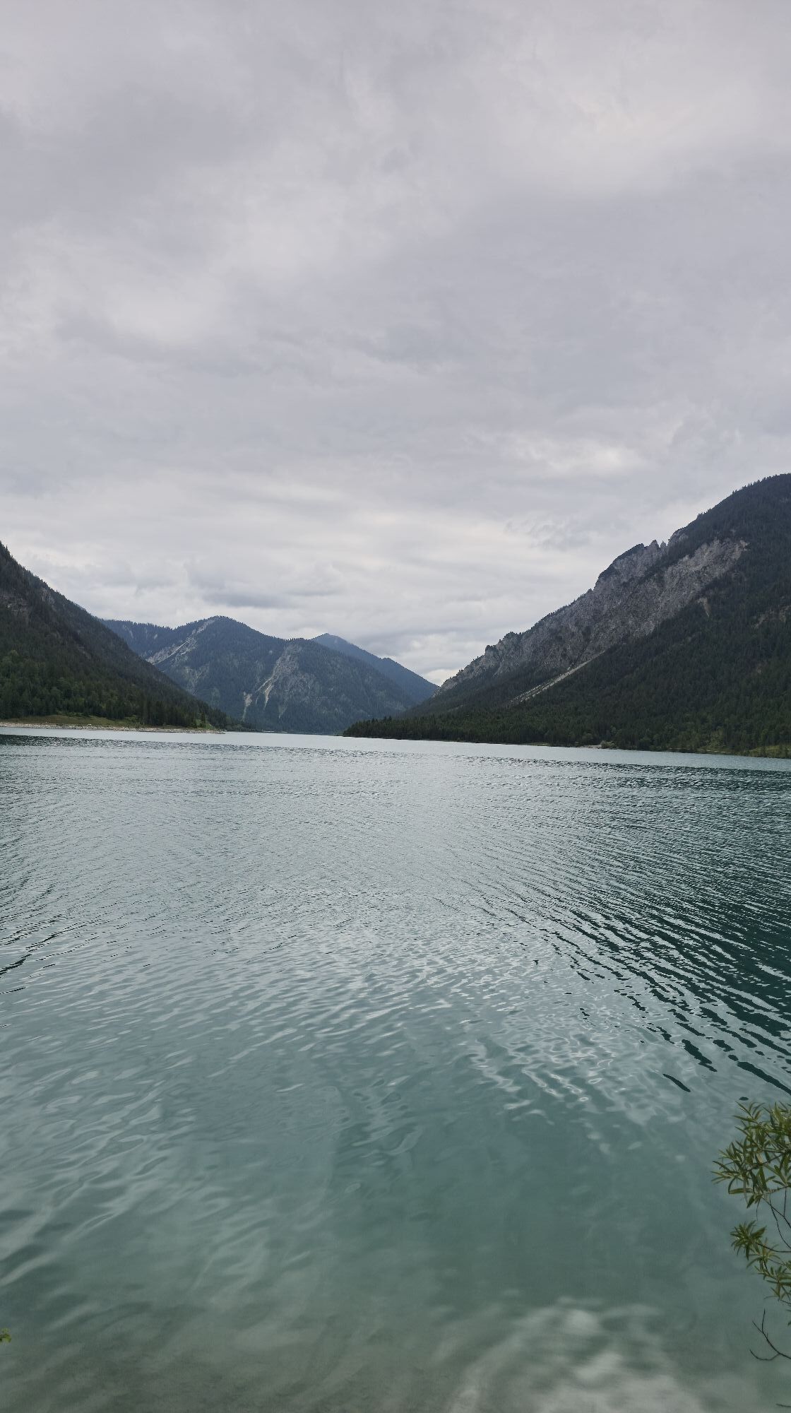
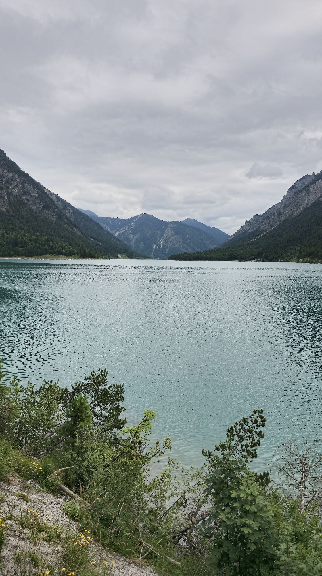
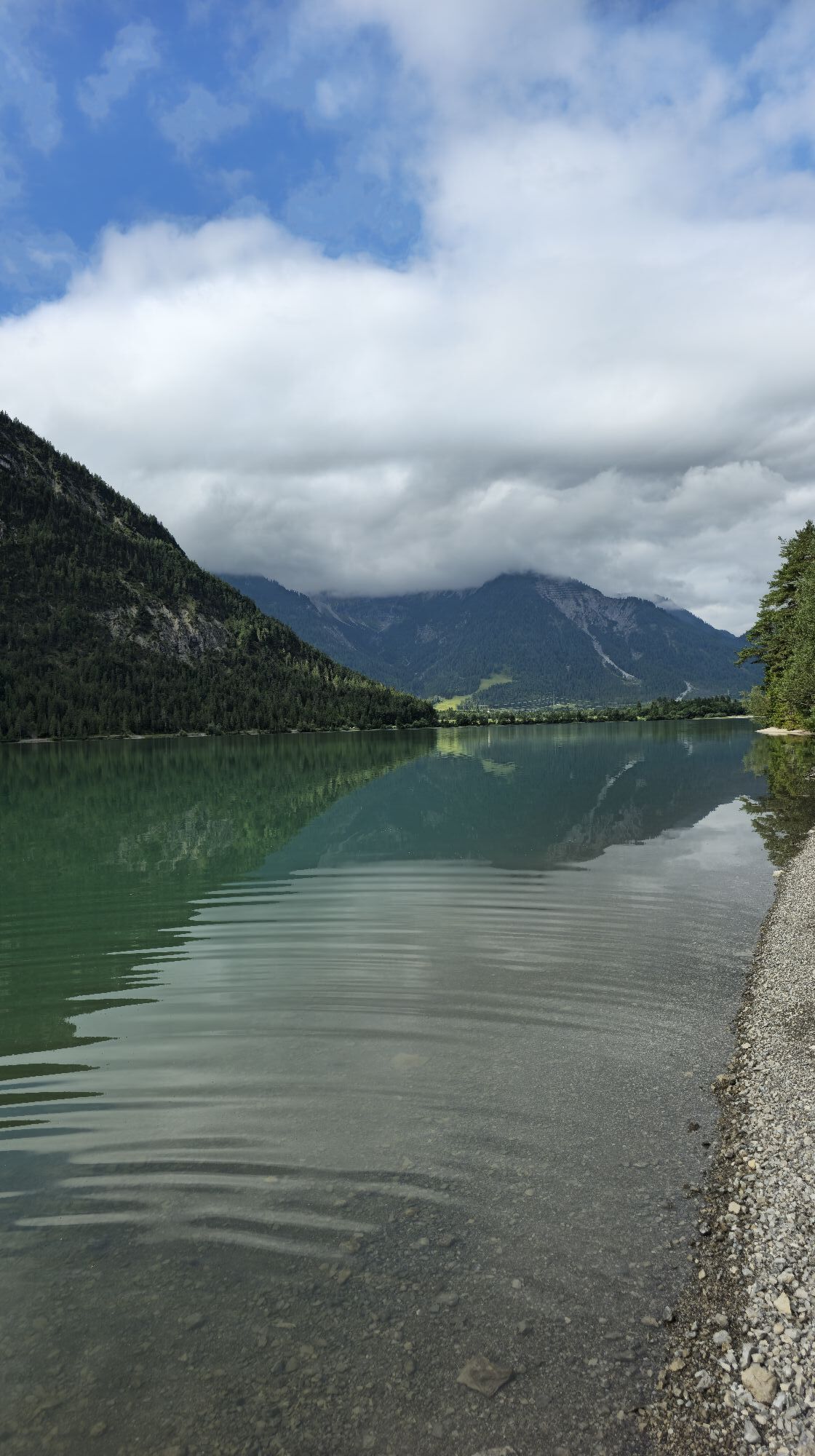
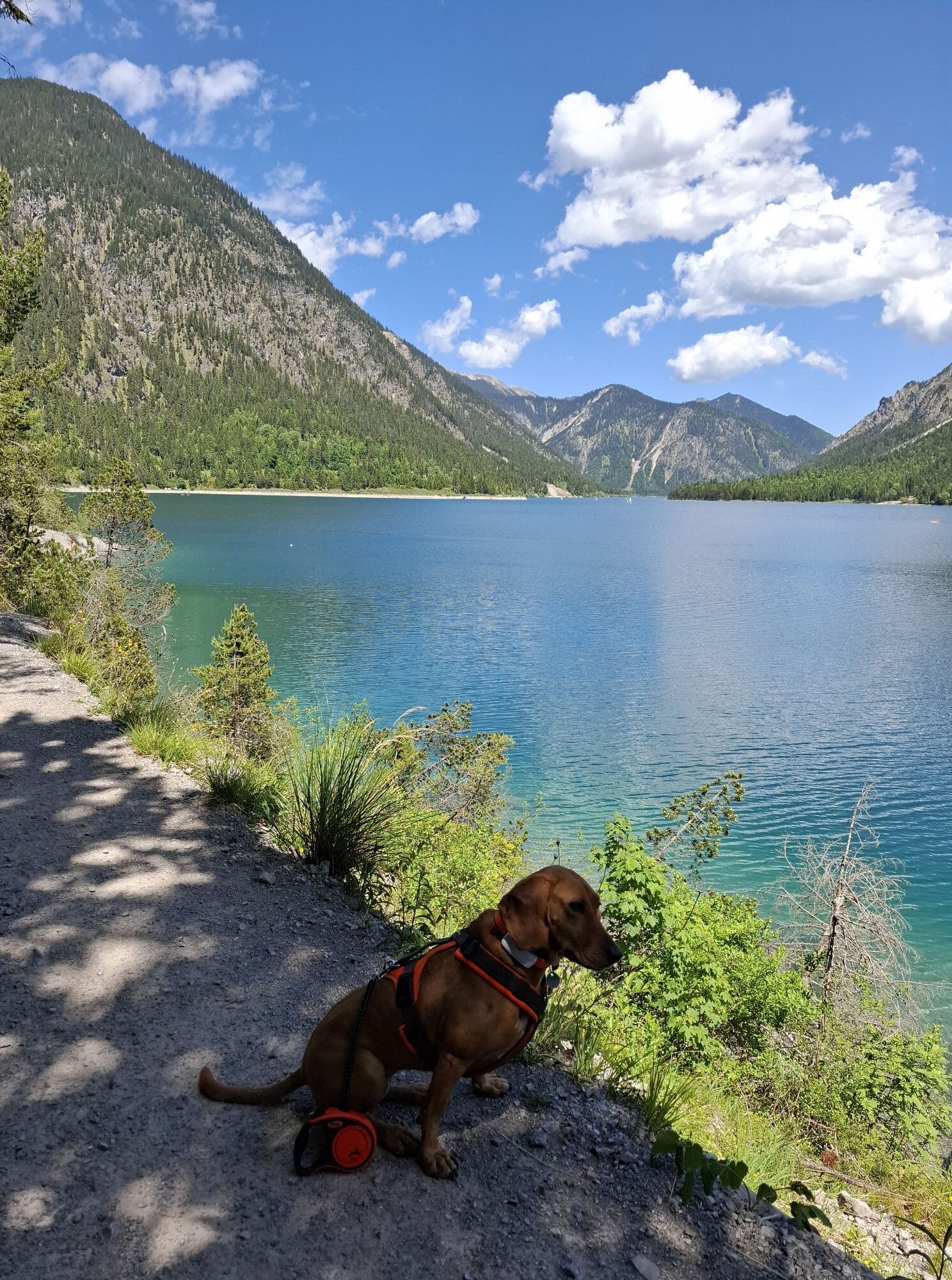
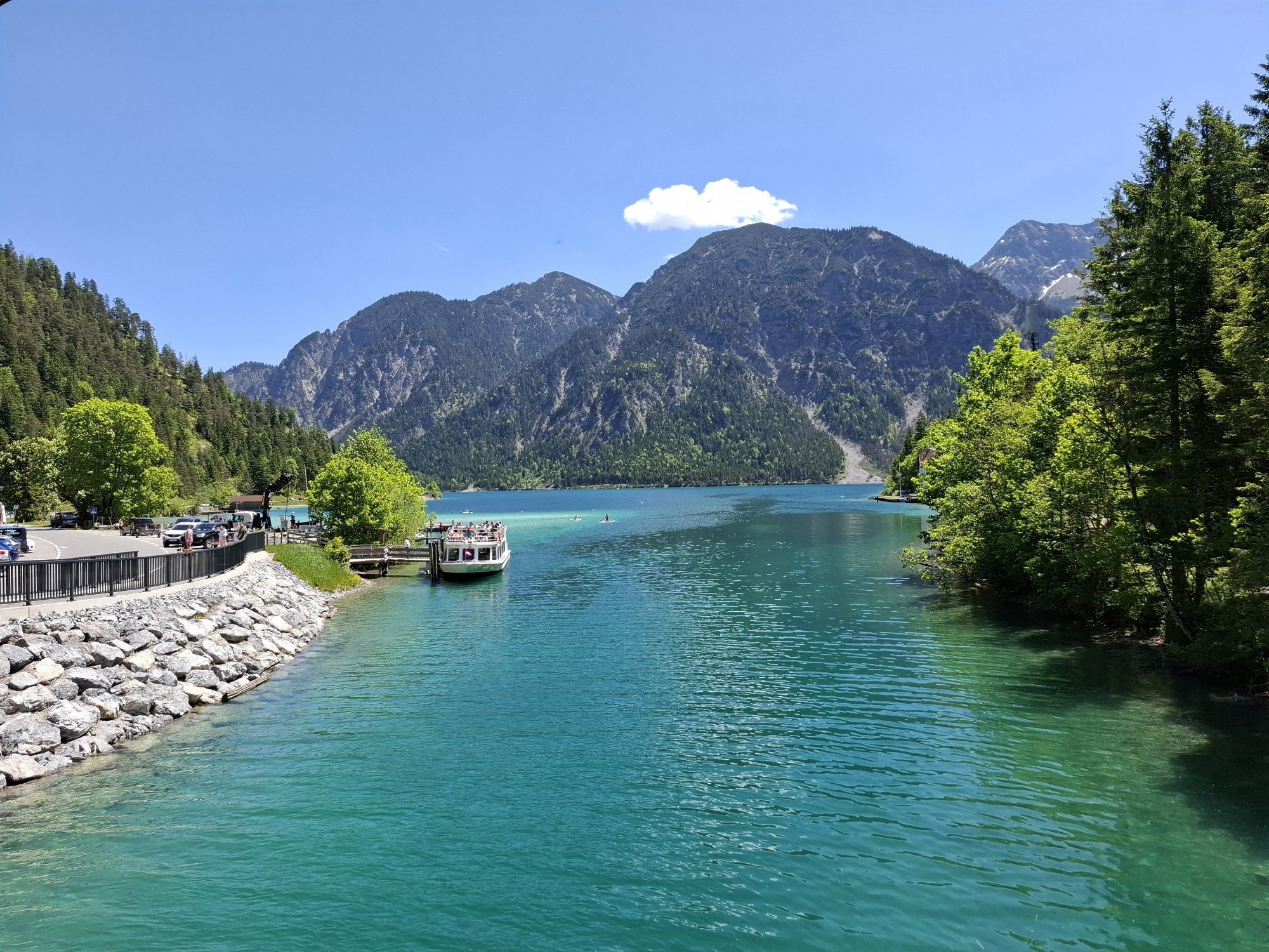

Go past the campsite and follow the trail on the Tauern side. At the canal bridge continue straight ahead in the direction of Kleiner Plansee, Frauenbrünnele. Cross the road at the end of the Kleiner Plansee....
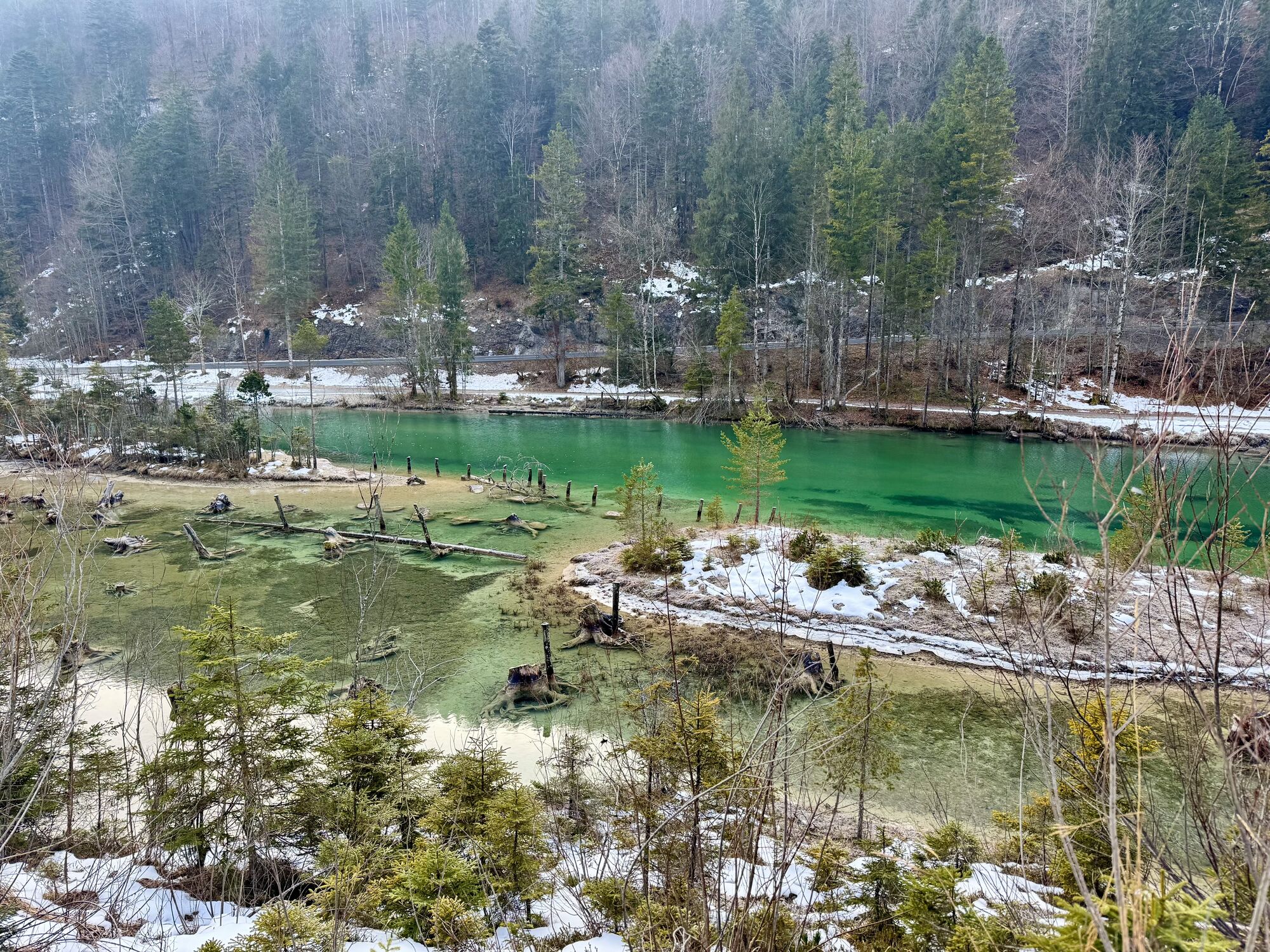
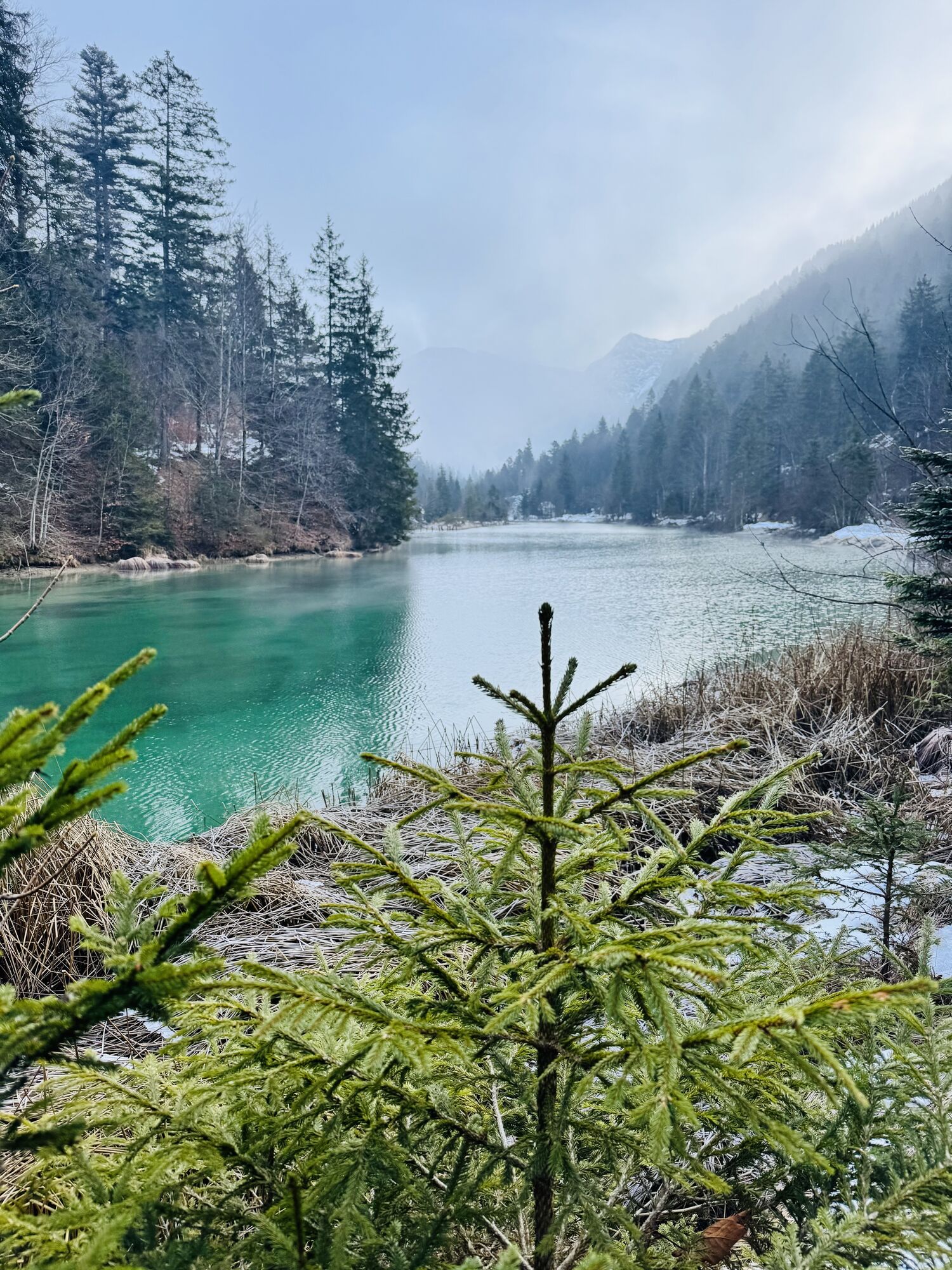
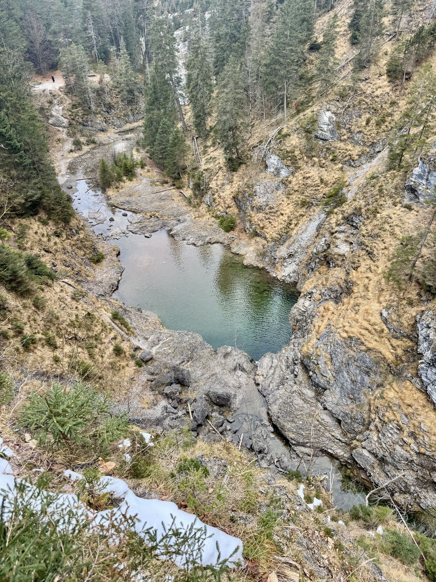
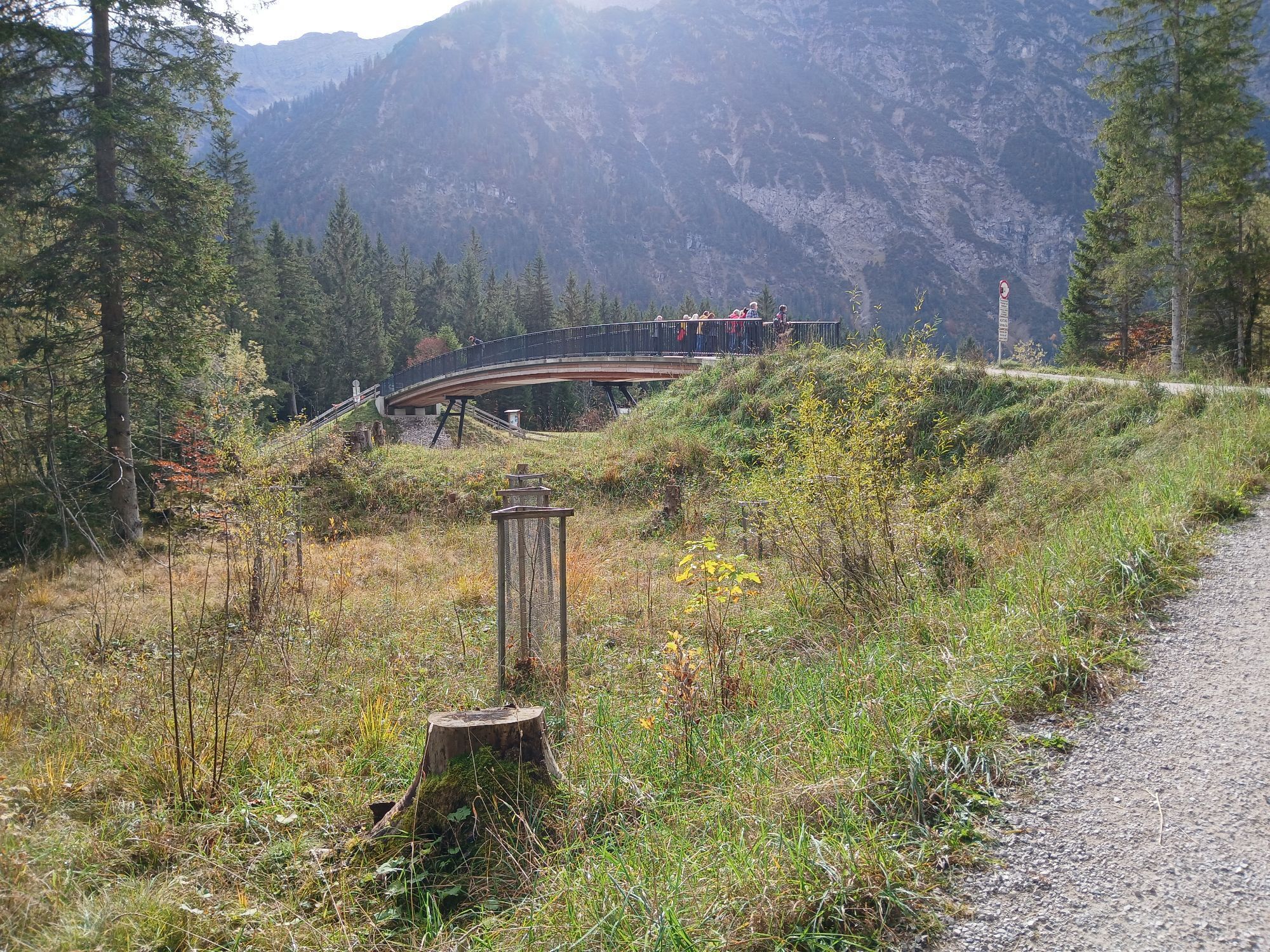
Go past the campsite and follow the trail on the Tauern side. At the canal bridge continue straight ahead in the direction of Kleiner Plansee, Frauenbrünnele. Cross the road at the end of the Kleiner Plansee. Continue to the Jägerkapelle, then follow the path and the yellow marking Stuibenfälle. Continue the circular hike in the direction of the Angerer sawmill. Go past the Gasthof Waldhof and follow the yellow Mäuerle marker. Walk over the Mäuerle in the direction of the lake. Pss the camping site and return to the starting point at the parking lot of the Hotel Fischer am See.


Hotel Fischer am See; Wirtshaisl am See; Hotel Seespitze;
Hiking map available in the tourist offices of the Tiroler Zugspitz Arena
Ano
Appropriate clothing, sturdy shoes, rain gear, sunscreen, walking poles, enough to drink. No climbing equipment required.
● Stay on the marked trails
● Keep distance from grazing animals
● Respect the opening ours of the alpine huts
● Alpine emergency call: 140
Summer & hiking bus of the Tiroler Zugspitz Arena (free of charge with guest card or Z-Ticket), Postbus (free of charge in the region with guest card or Z-Ticket), regional trains (Garmisch-Partenkirchen-Grainau-Ehrwald-Lermoos-Reutte)
Car park at Hotel Fischer am See
The hike can be combined with the boat ride from Hotel Fischer am See to Hotel Seespitze.

Webové kamery z prohlídky
-
Sonnalmbahn
-
Höfen Flugplatz
-
Höfen Flugplatz
-
Wängle - Panoramahotel Talhof
-
Seespitze am Plansee
-
Musteralpe / Sennalpe
-
Thanellerbahn
-
Höfen Flugplatz
-
Höfen Flugplatz
-
Höfen Flugplatz
-
Höfen Flugplatz
-
Fernpassstraße B179
-
Fernpassstraße B179
-
Fernpassstraße B179
-
Fernpassstraße B179
-
Fernpassstraße B179
-
Fernpassstraße B179
-
Fernpassstraße B179
-
Fernpassstraße B179
-
Obere Karbahn
-
Schifffahrt Heiterwang am See
Získejte přehled
Vždy živě na místě s více než 9 500 webkamerami. bergfex Jako uživatel Pro si nyní můžete zobrazit odpovídající webové kamery pro mnoho prohlídek v aplikaci prohlídky z. Můžete si tak přímo prohlédnout aktuální podmínky.
Aktivity na trase
-

Rundweg Stuibenfälle - Plansee
05.08.2026 – Turistika -
Breitenwang, Tirol/Österreich
25.07.2026 – Turistika -

Heiterwang, Tirol/Österreich
02.06.2026 – Horská turistika -

Breitenwang, Tyrol/Autriche
03.04.2026 – Turistika -
Breitenwang, Tyrol/Autriche
03.04.2026 – Turistika -
Breitenwang, Tyrol/Autriche
03.04.2026 – Turistika
Oblíbené prohlídky v okolí
-
4.8
Thaneller
středníTuristika 4.90 km -
4.8
Hönig over the Älplestal-valley
středníTuristika 11.6 km -
4.6
Around Weißensee
světloTuristika 6.12 km -
4.7
Almkopf Rundweg
středníTuristika 2.60 km -
4.1
Drehhütte
světloTuristika 3.34 km -
4.5
Circular hike Dreh- and Rohrkopfhütte
světloTuristika 8.76 km -
4.9
Tegelberg | Branderschrofen | Neuschwanstein
středníTuristika 14.8 km -
4.6
Yellow Wall Trail, Tegelberg (A)
středníVia ferrata 3.65 km -
4.4
Rundwanderung Stuibenfälle
středníTuristika 3.92 km -
4.4
Cultural trail Schutzengelweg
středníTuristika 5.13 km
Pěší turistika a stopování


Nenechte si ujít nabídky a inspiraci pro vaši příští dovolenou
Vaše e-mailová adresa byl přidán do poštovního seznamu.





