







Circular hike Dreh- and Rohrkopfhütte
Úroveň obtížnosti: T1


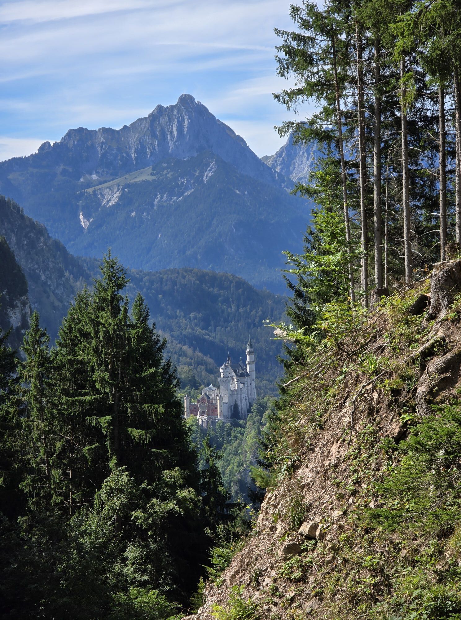
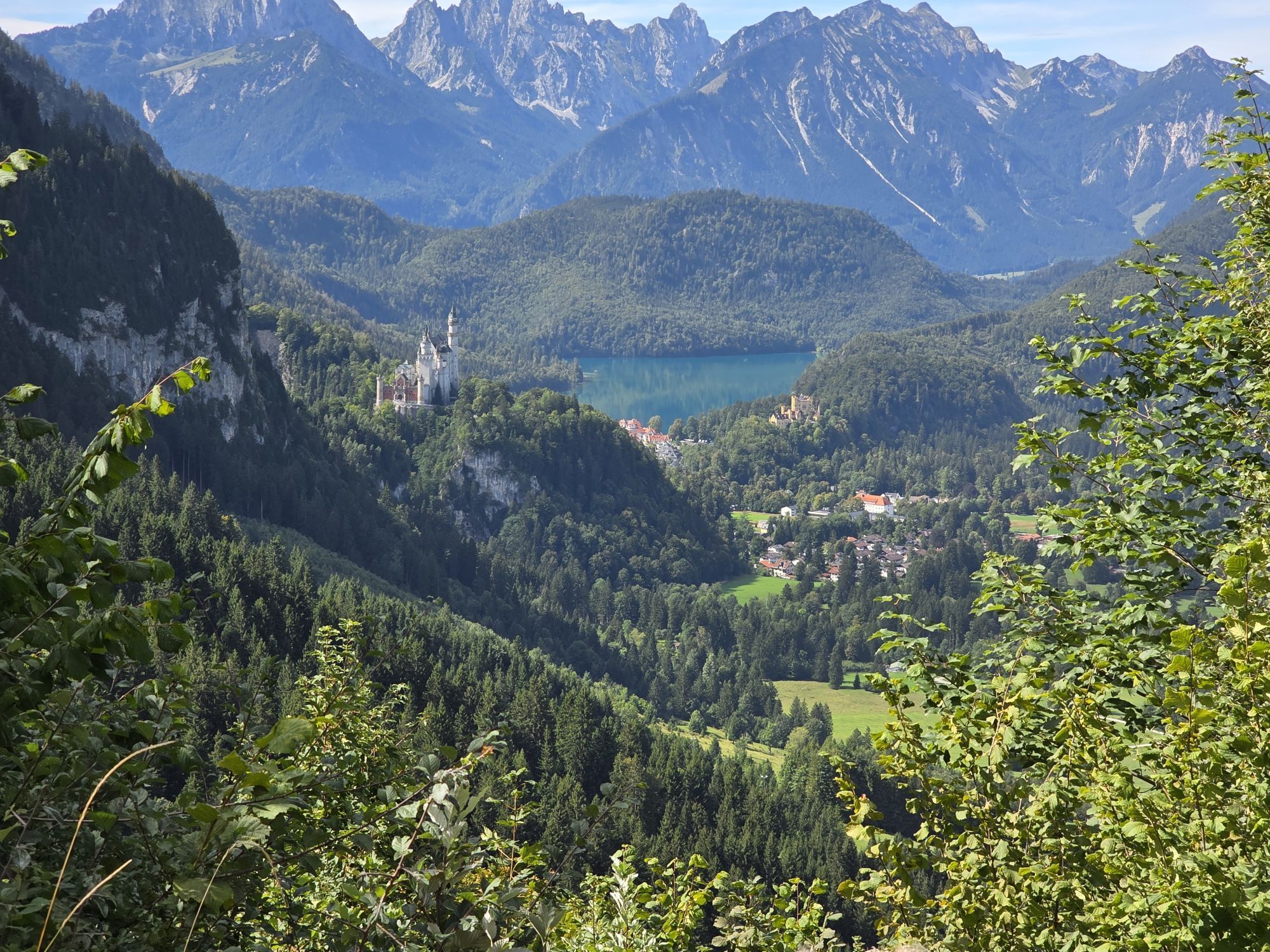
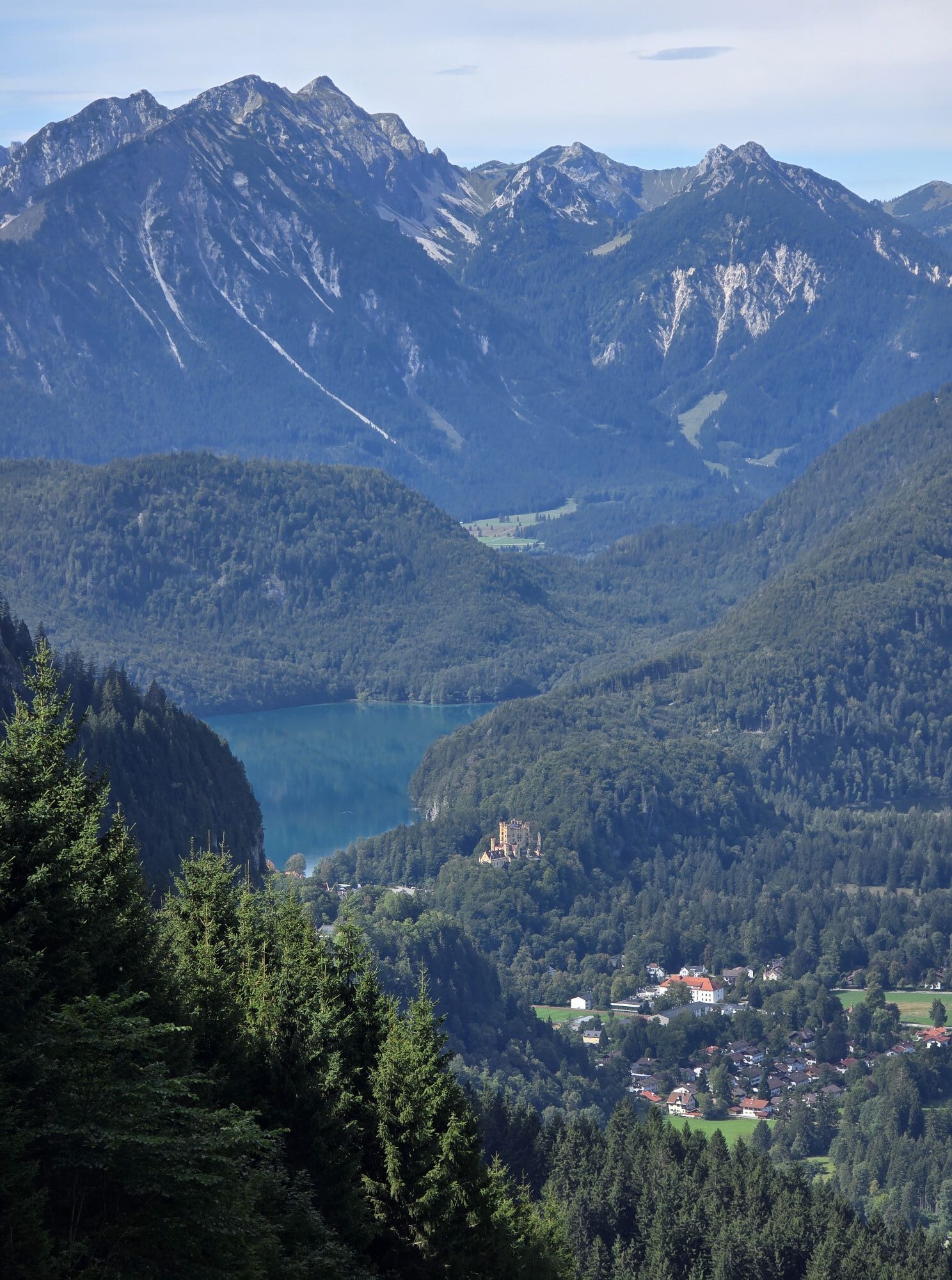
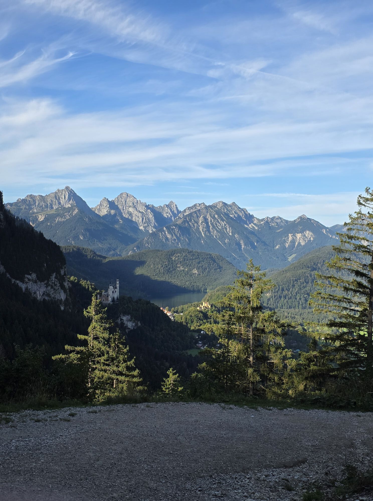
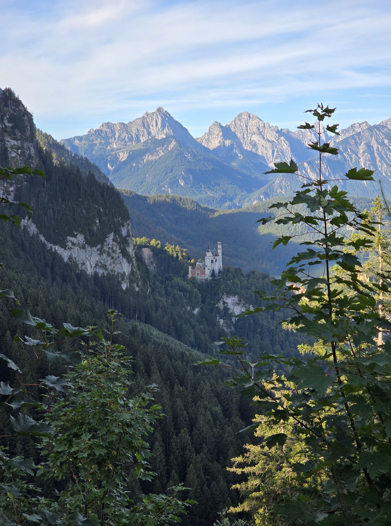

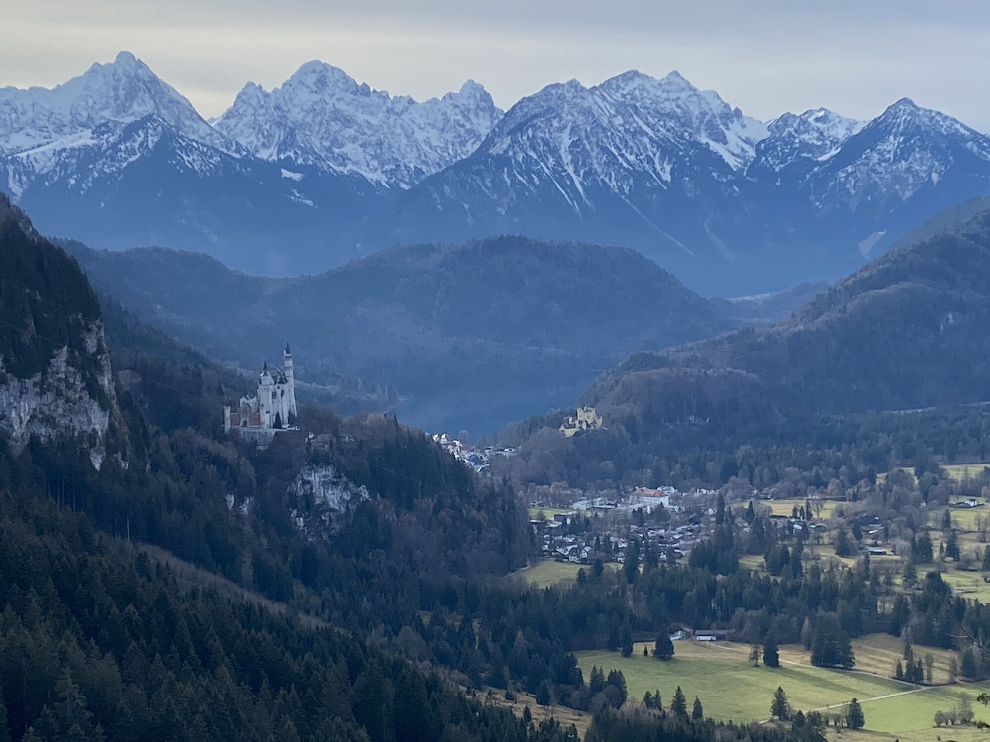
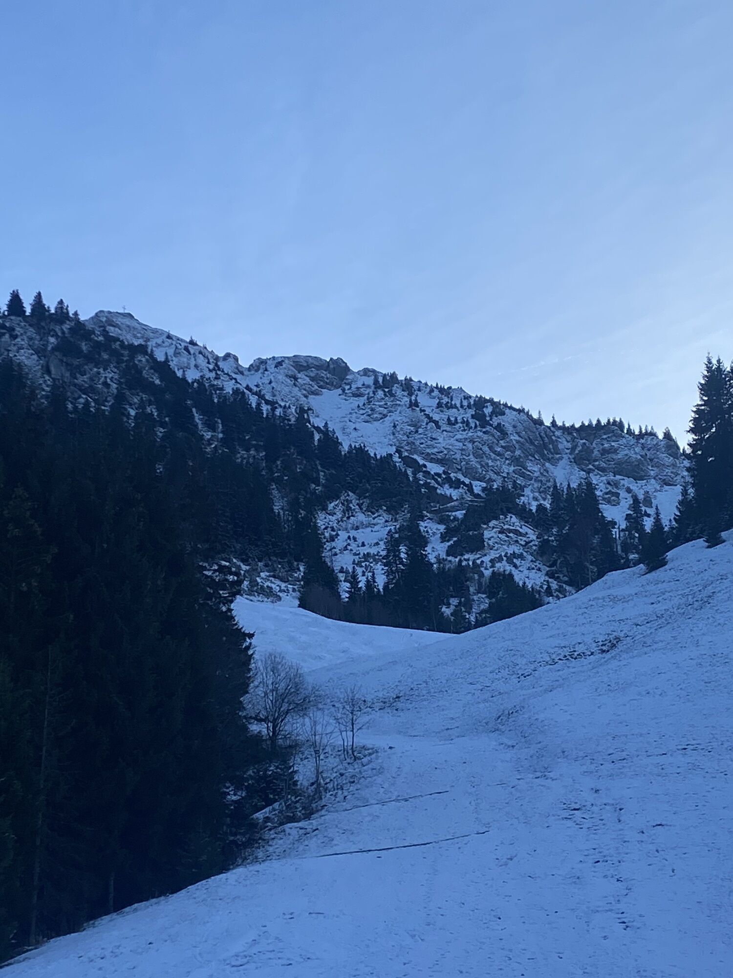

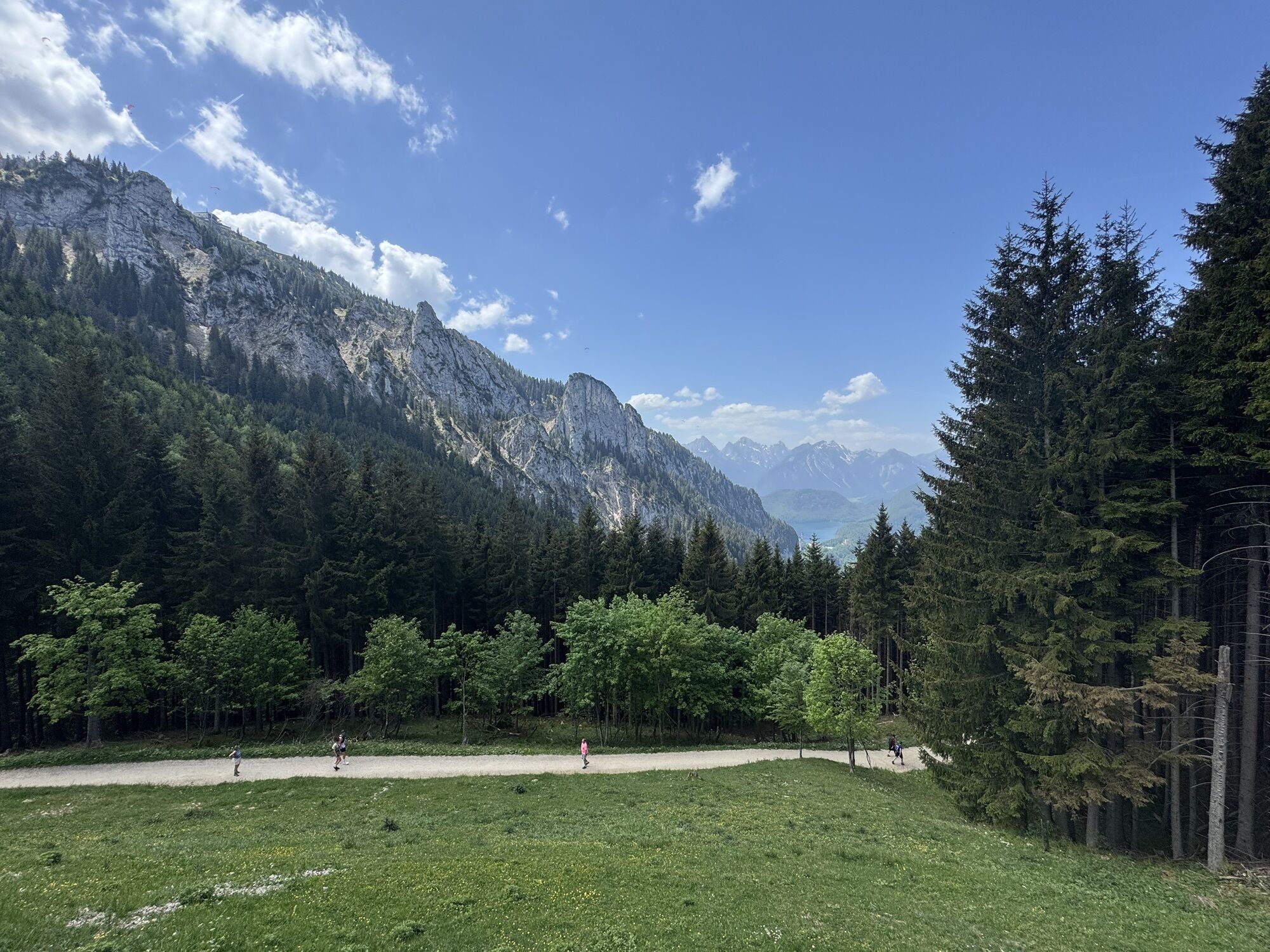
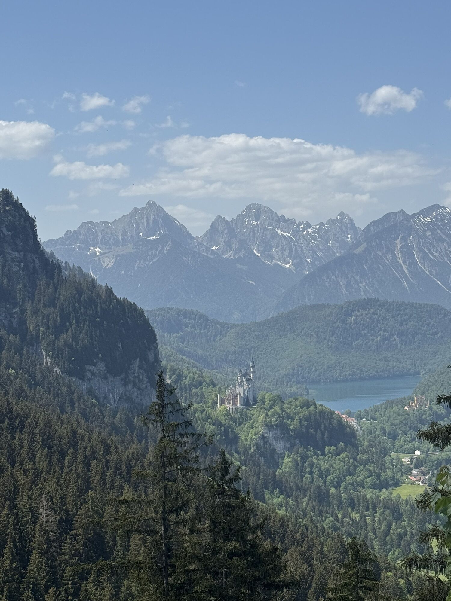
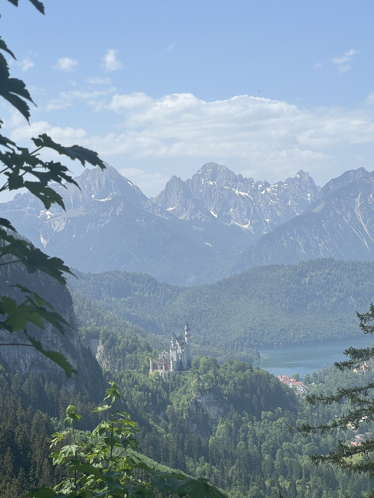
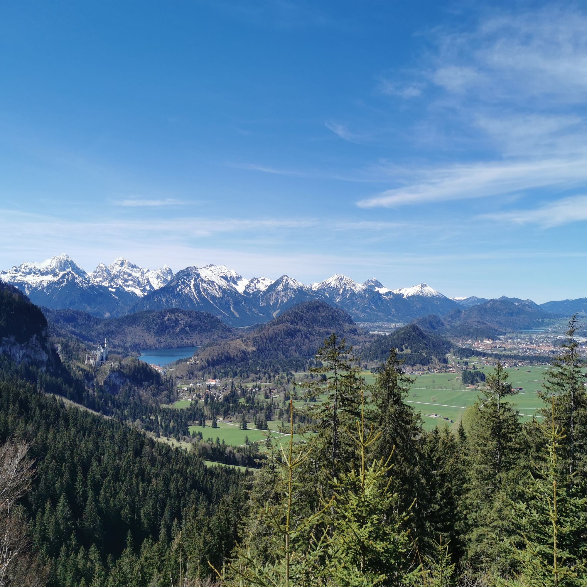
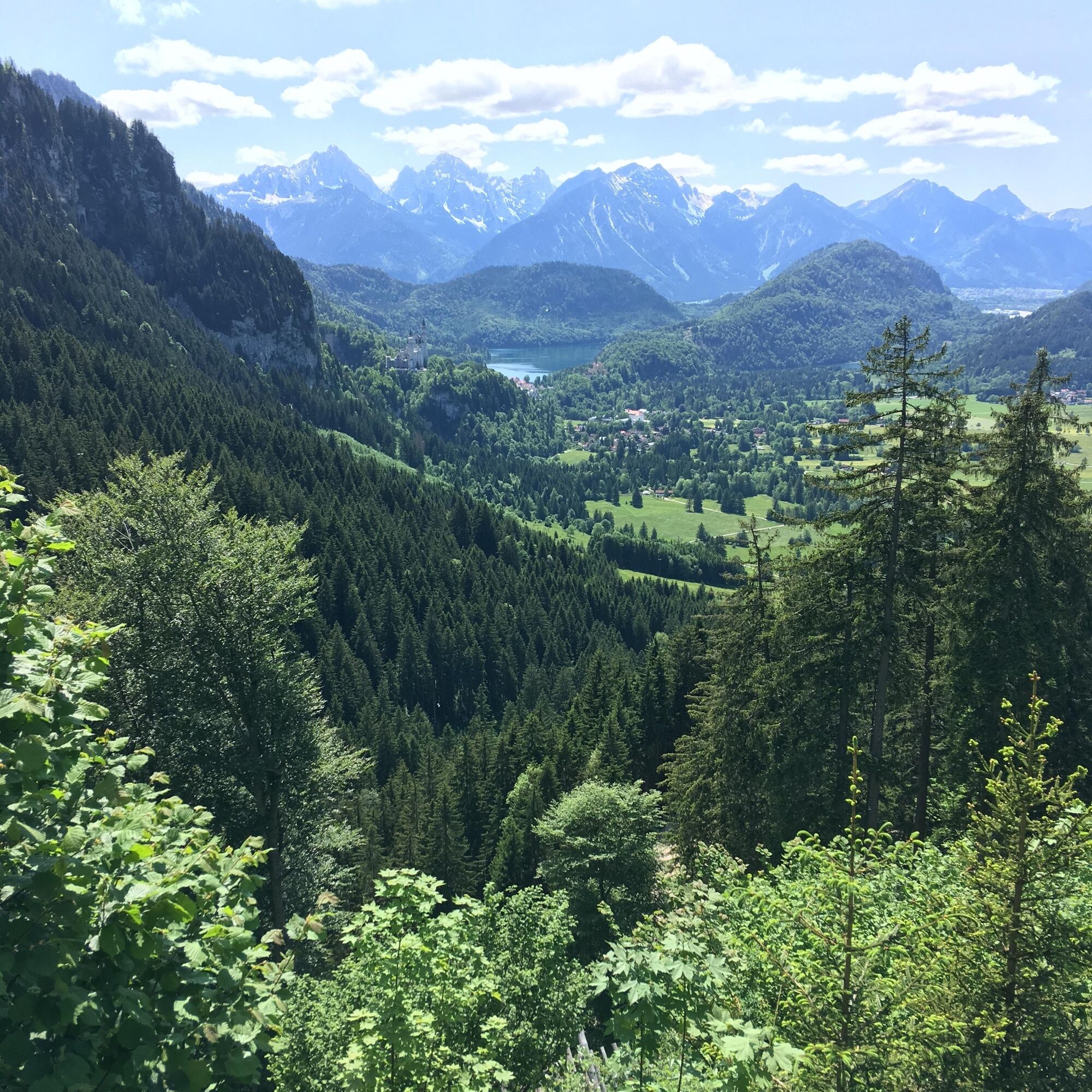
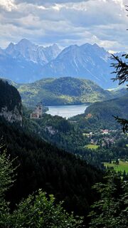
This varied circular hike offers impressive views of Neuschwanstein and Hohenschwangau castles as well as the picturesque Alpine foothills. The path leads through idyllic landscapes and invites you to...
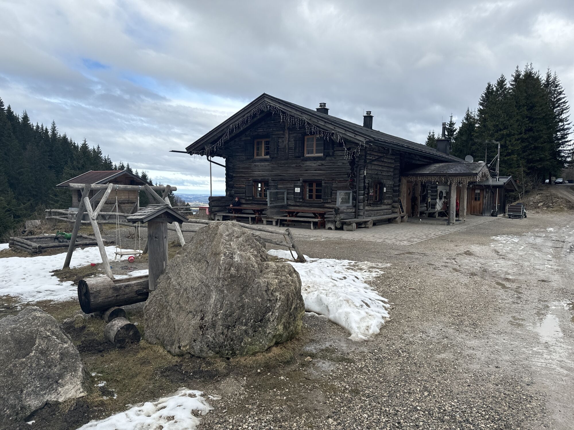
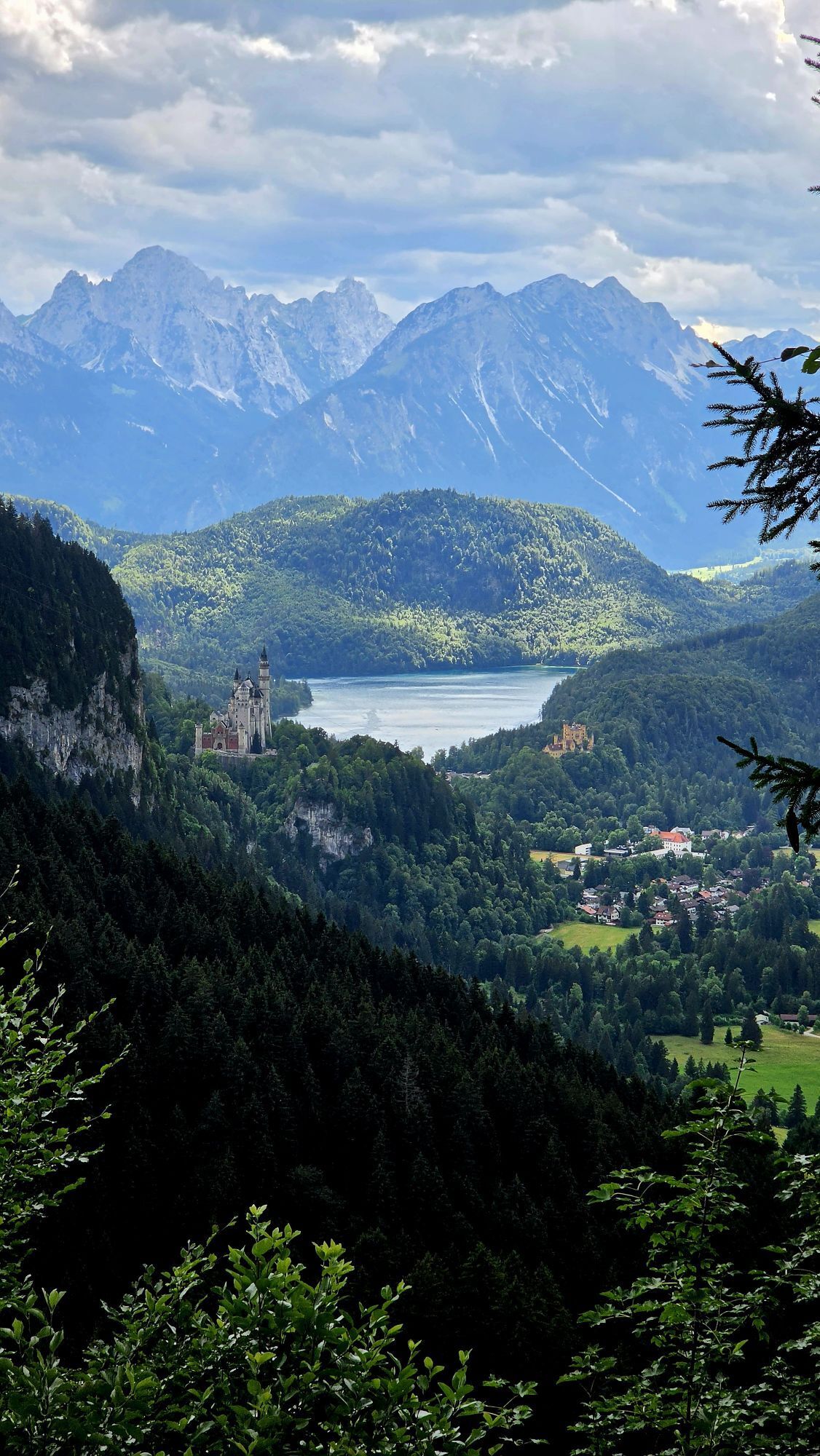
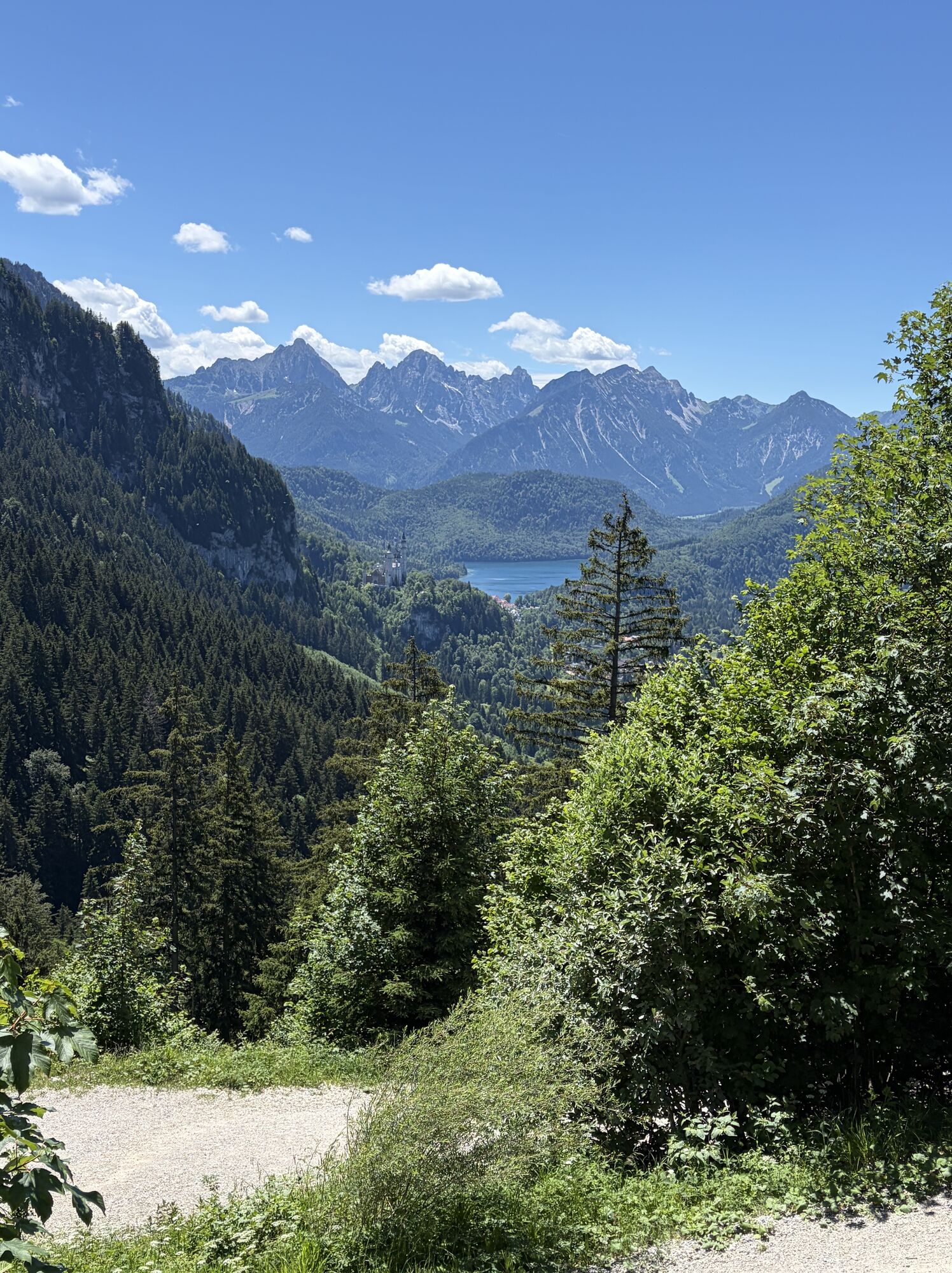
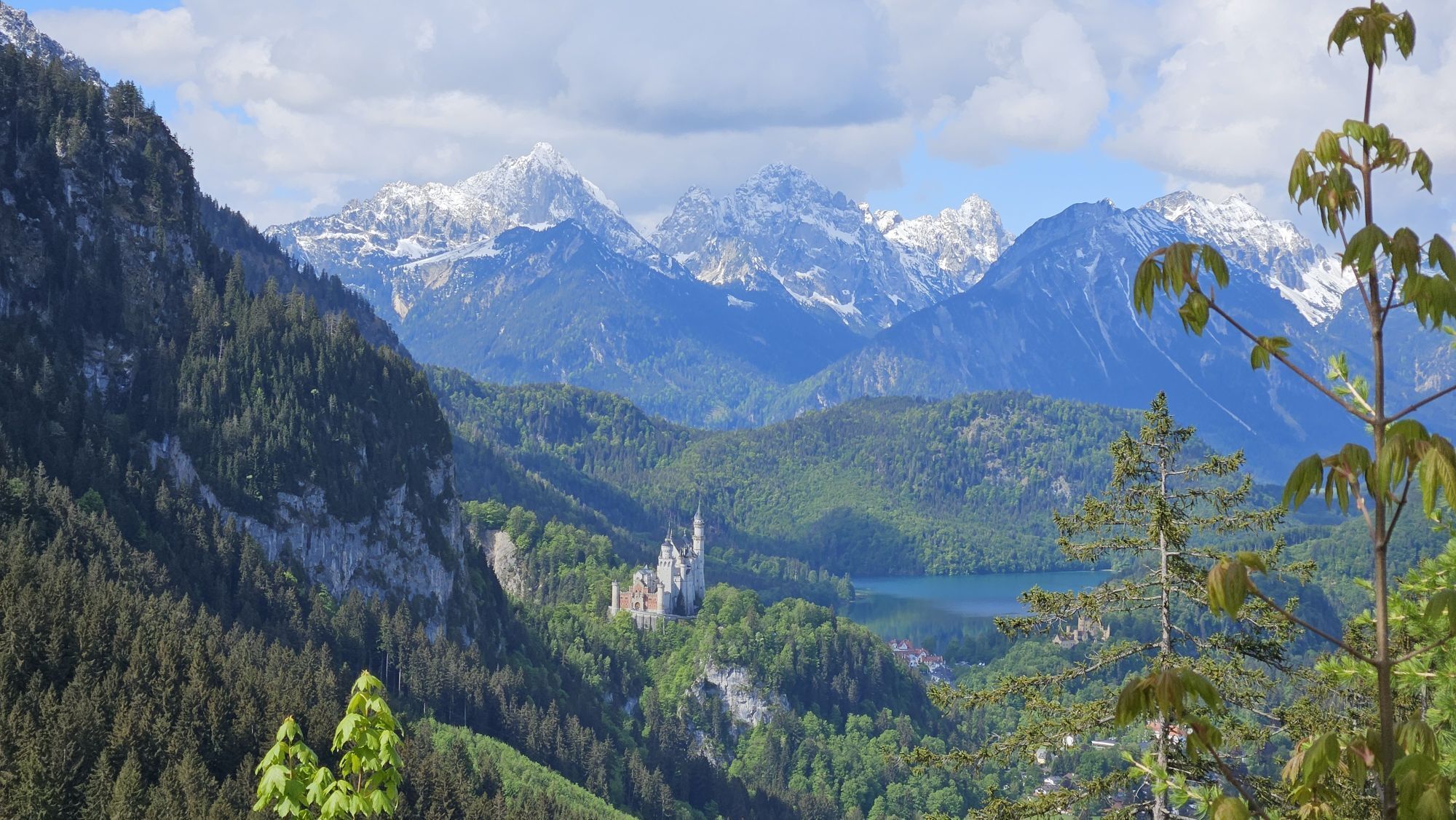
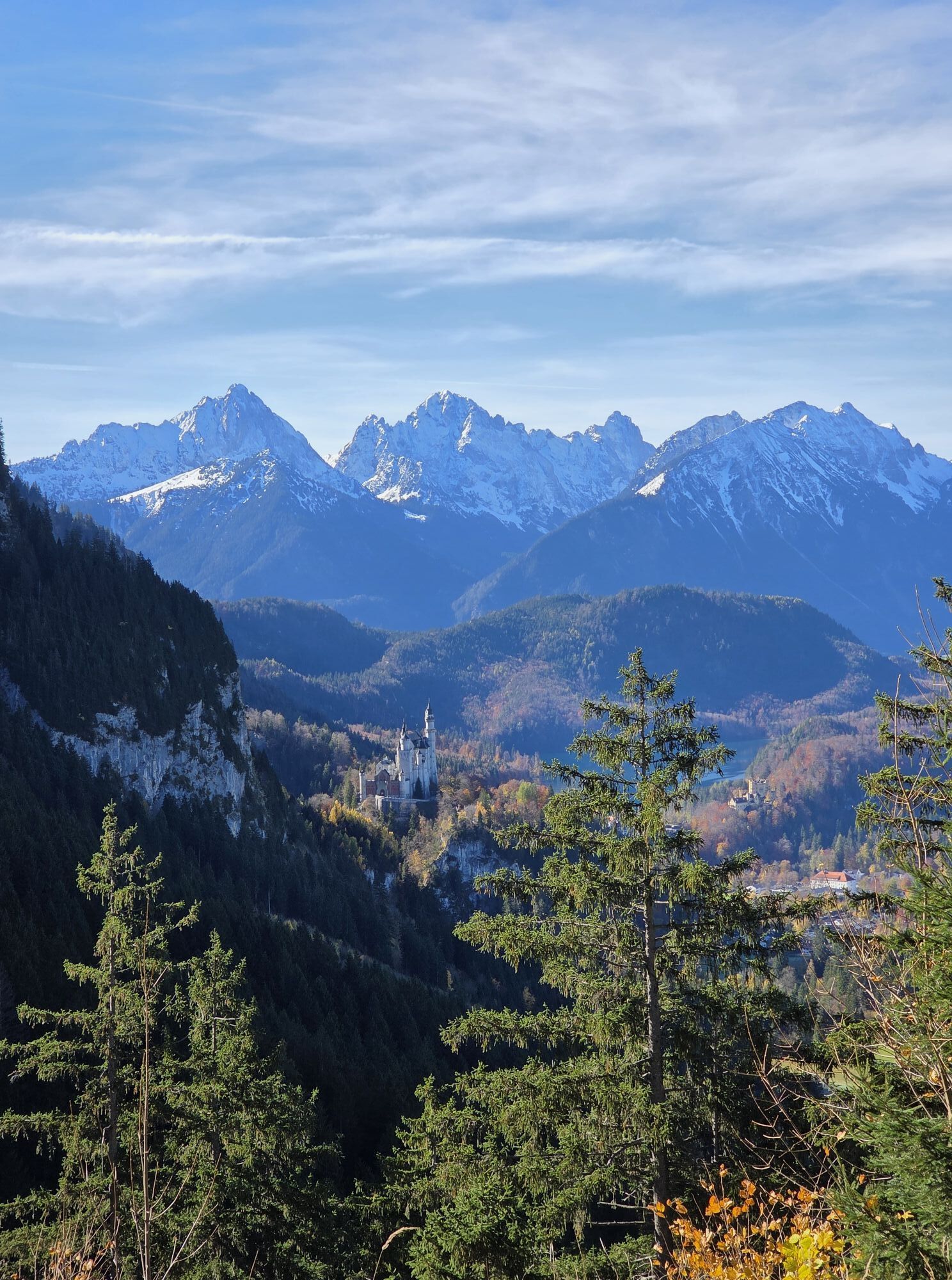
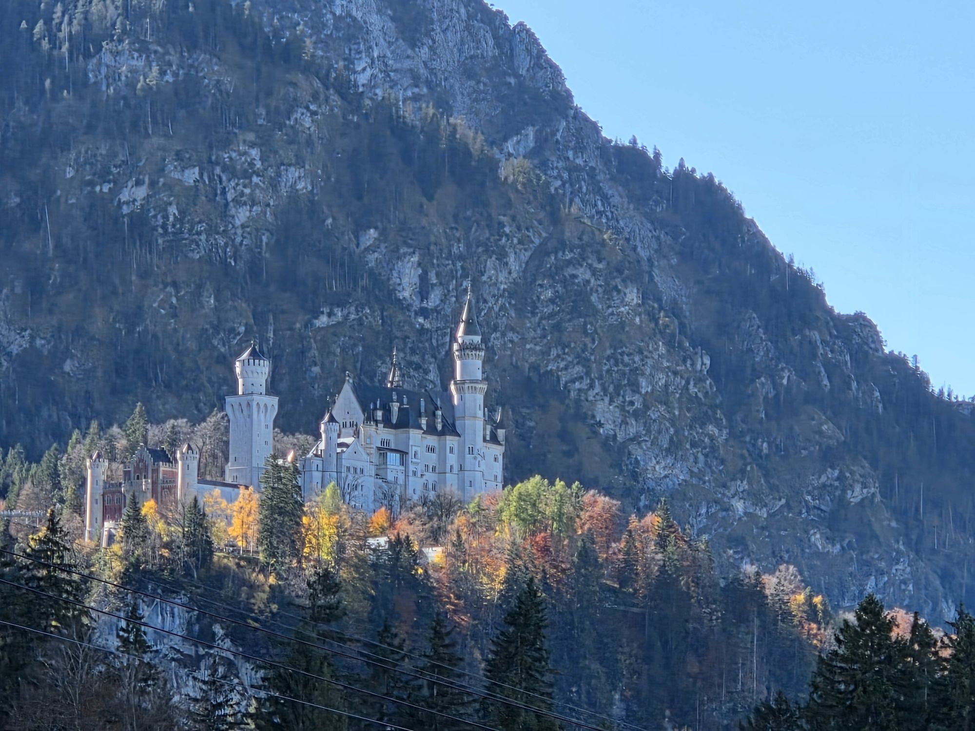
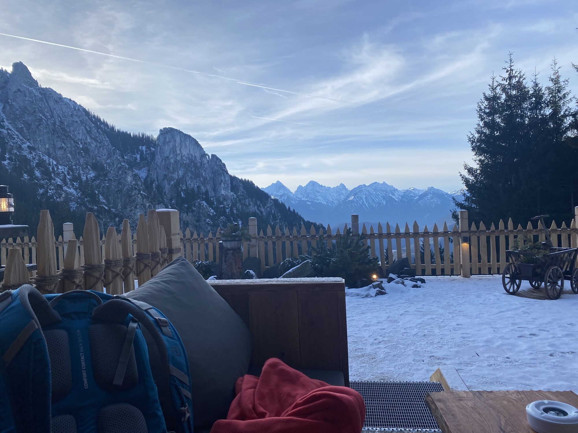
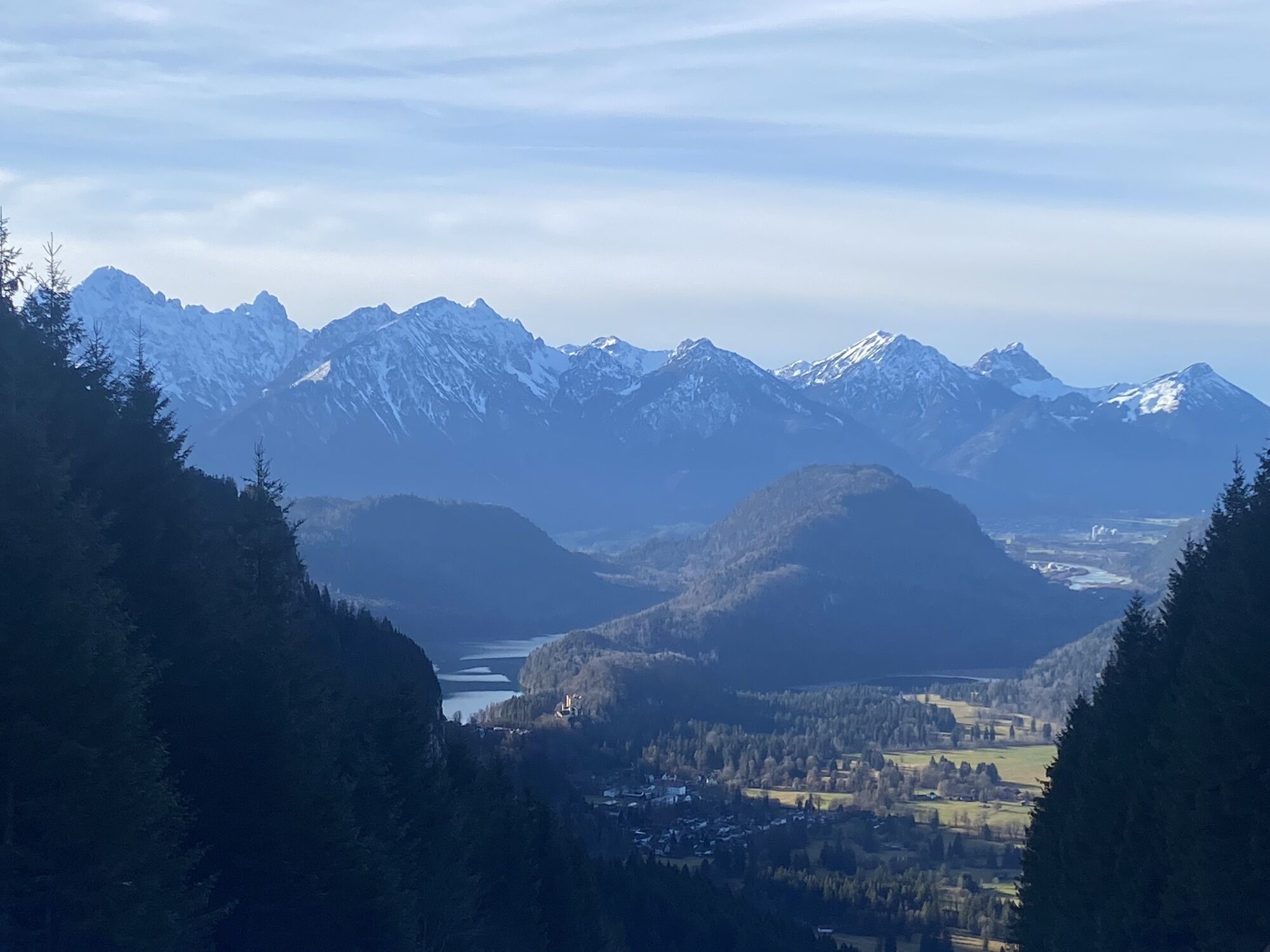
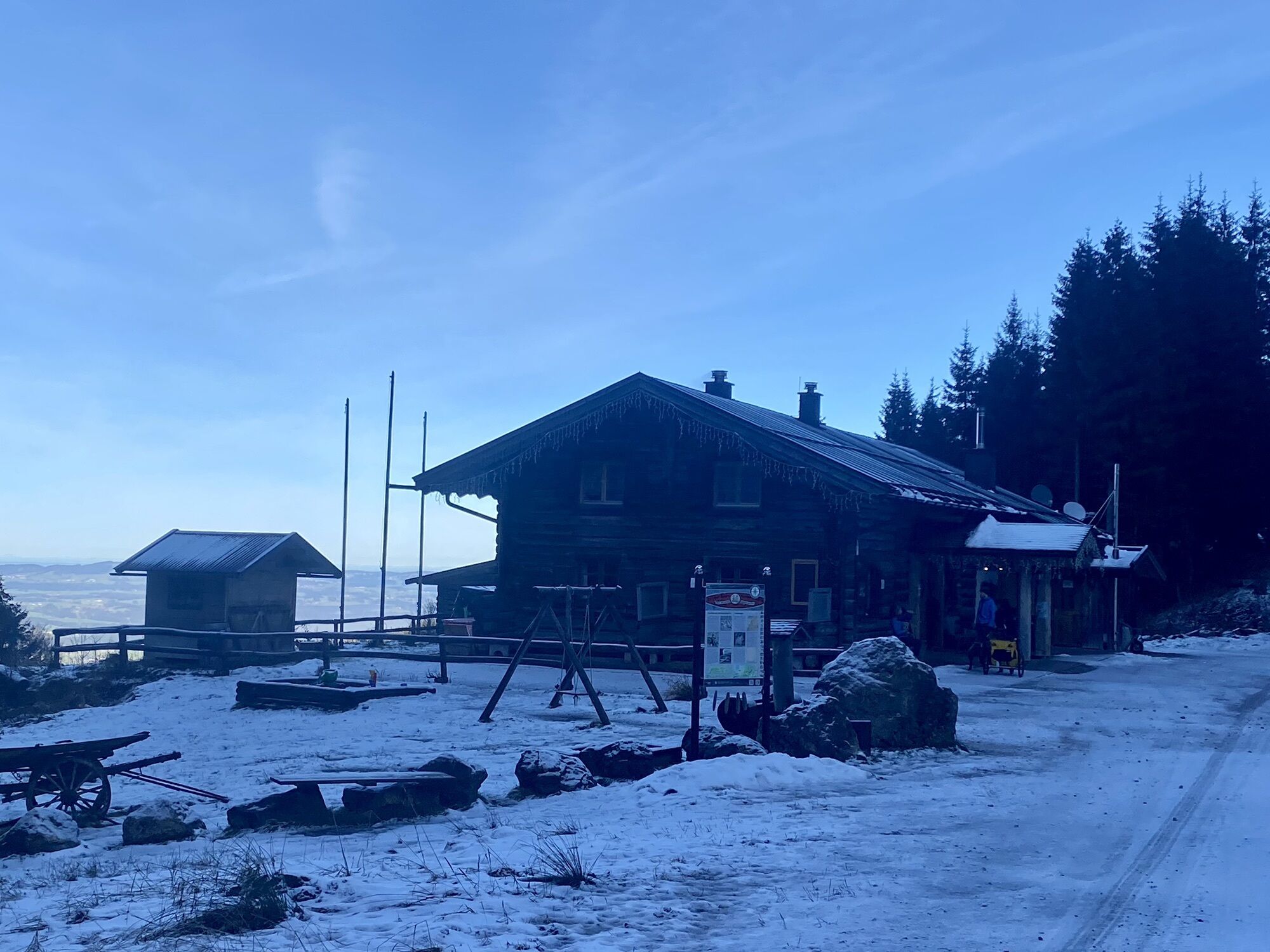
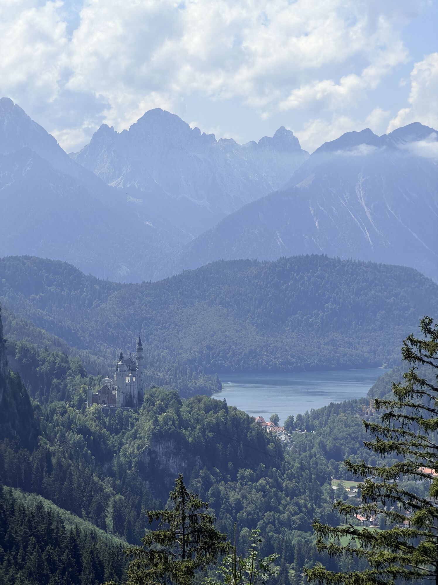
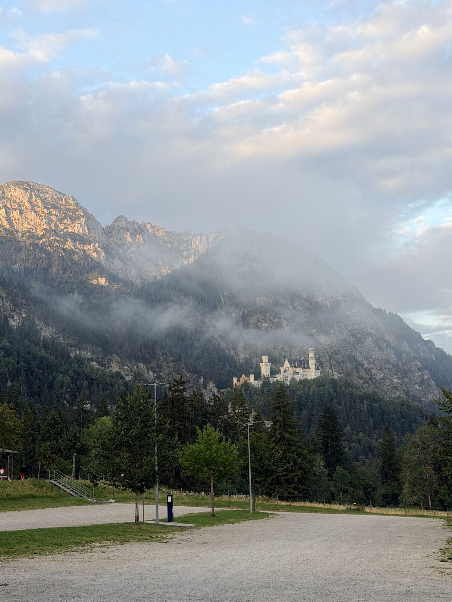
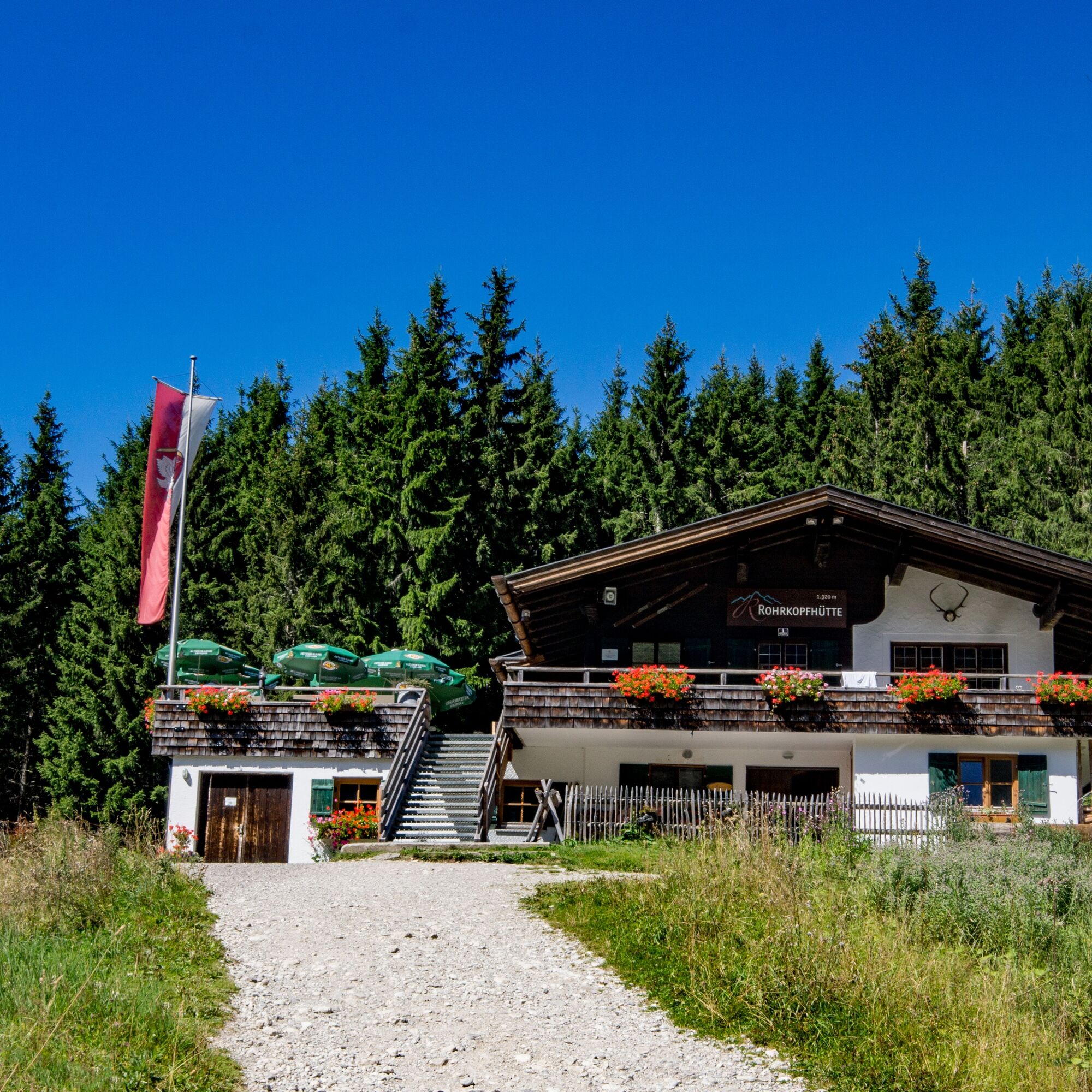
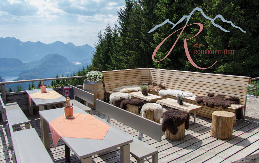
This varied circular hike offers impressive views of Neuschwanstein and Hohenschwangau castles as well as the picturesque Alpine foothills. The path leads through idyllic landscapes and invites you to take breaks to enjoy the stunning views. A special highlight of the route is the culinary delight: at the cozy Drehhütte, you can refresh yourself with South Tyrolean specialties from the original Vinschgau cuisine. Those who prefer regional delicacies will find Allgäu specialties at the Rohrkopfhütte, served on the panoramic terrace. This hike combines natural enjoyment, culture, and culinary diversity in an unforgettable route.

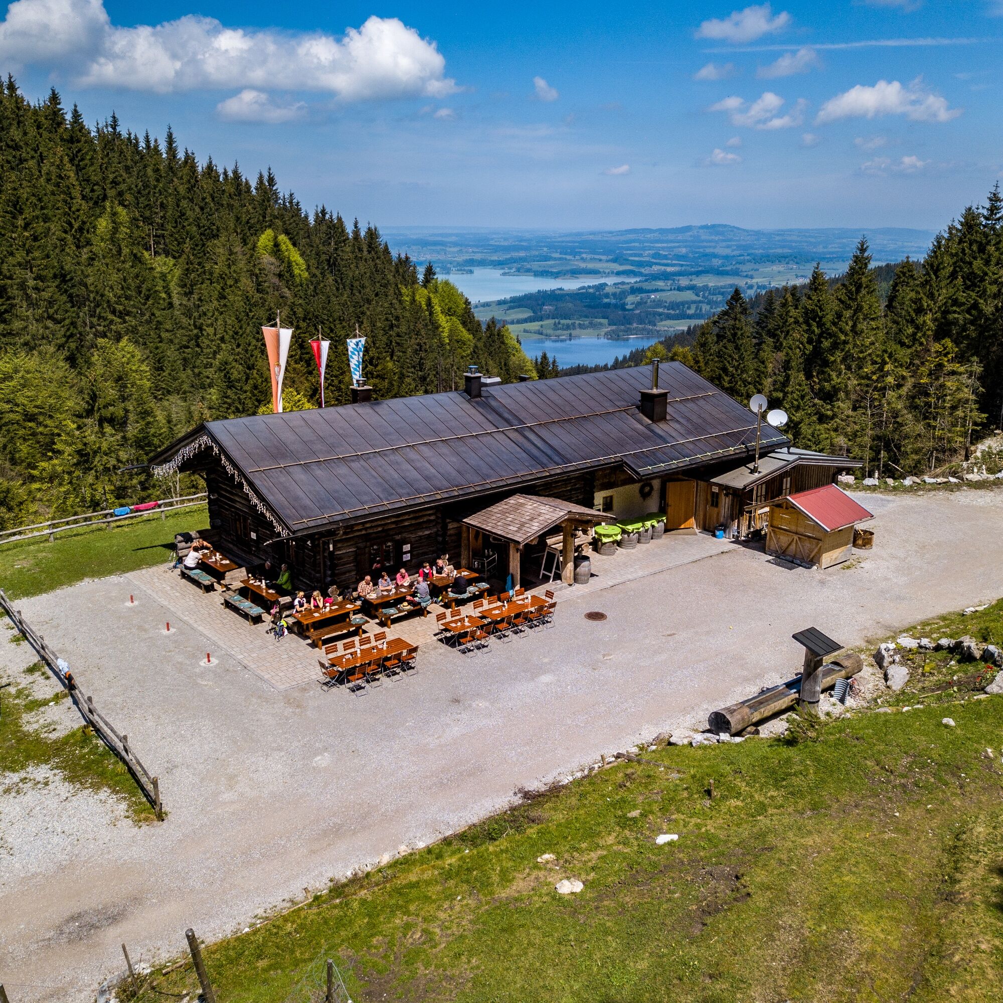

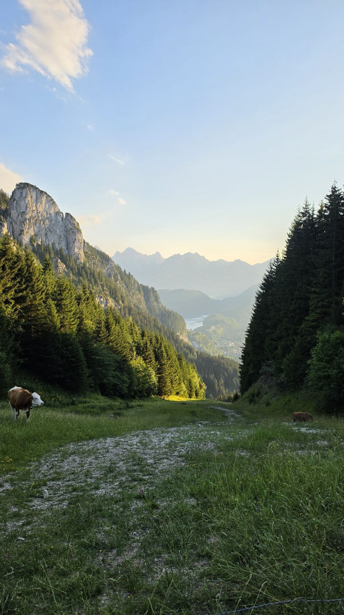
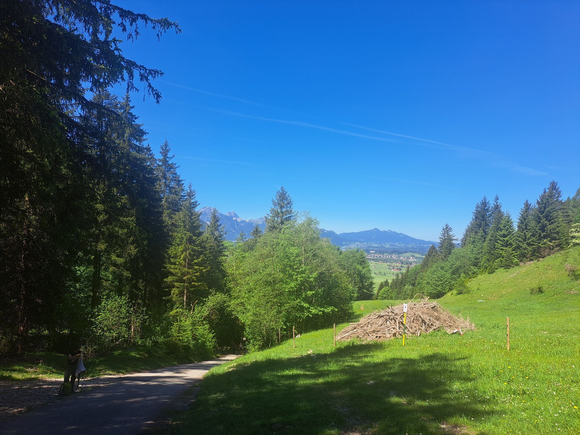
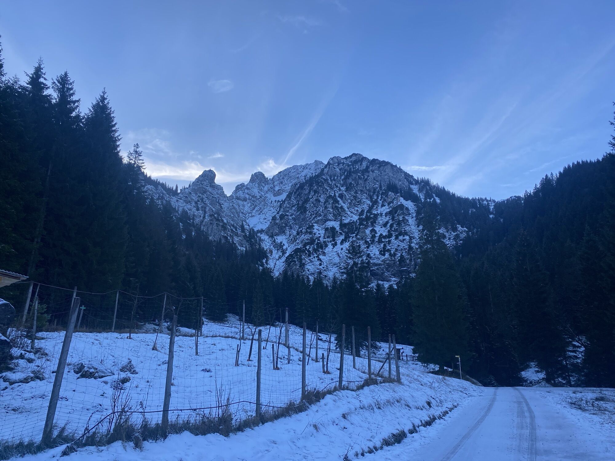
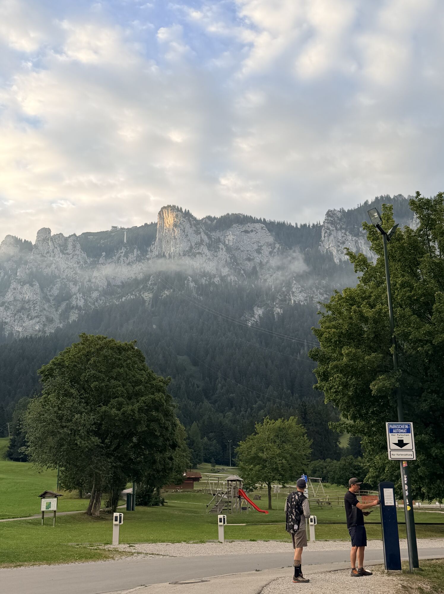
It is best to park your car in the lower parking lot of the Tegelbergbahn, directly to the left after the bridge (please remember the parking ticket). From there, a pleasant meadow path leads towards Adlerhorst or Outward Bound. The path gently rises and runs for about 40 minutes through idyllic nature until you reach the turnoff to the Drehhütte.
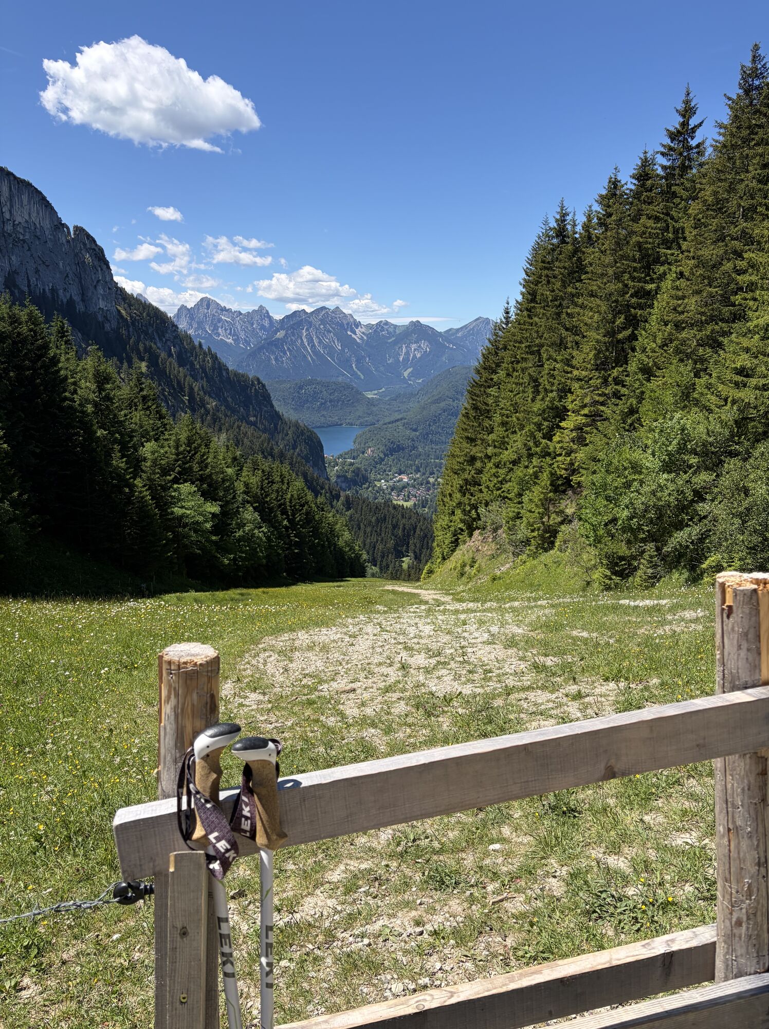
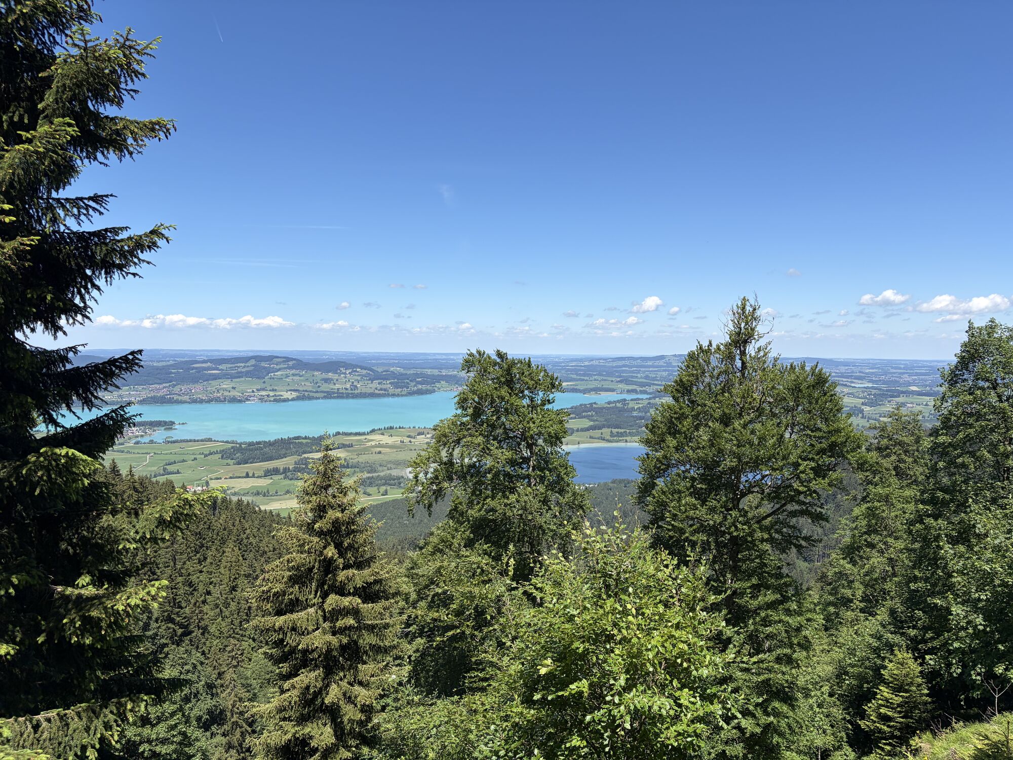
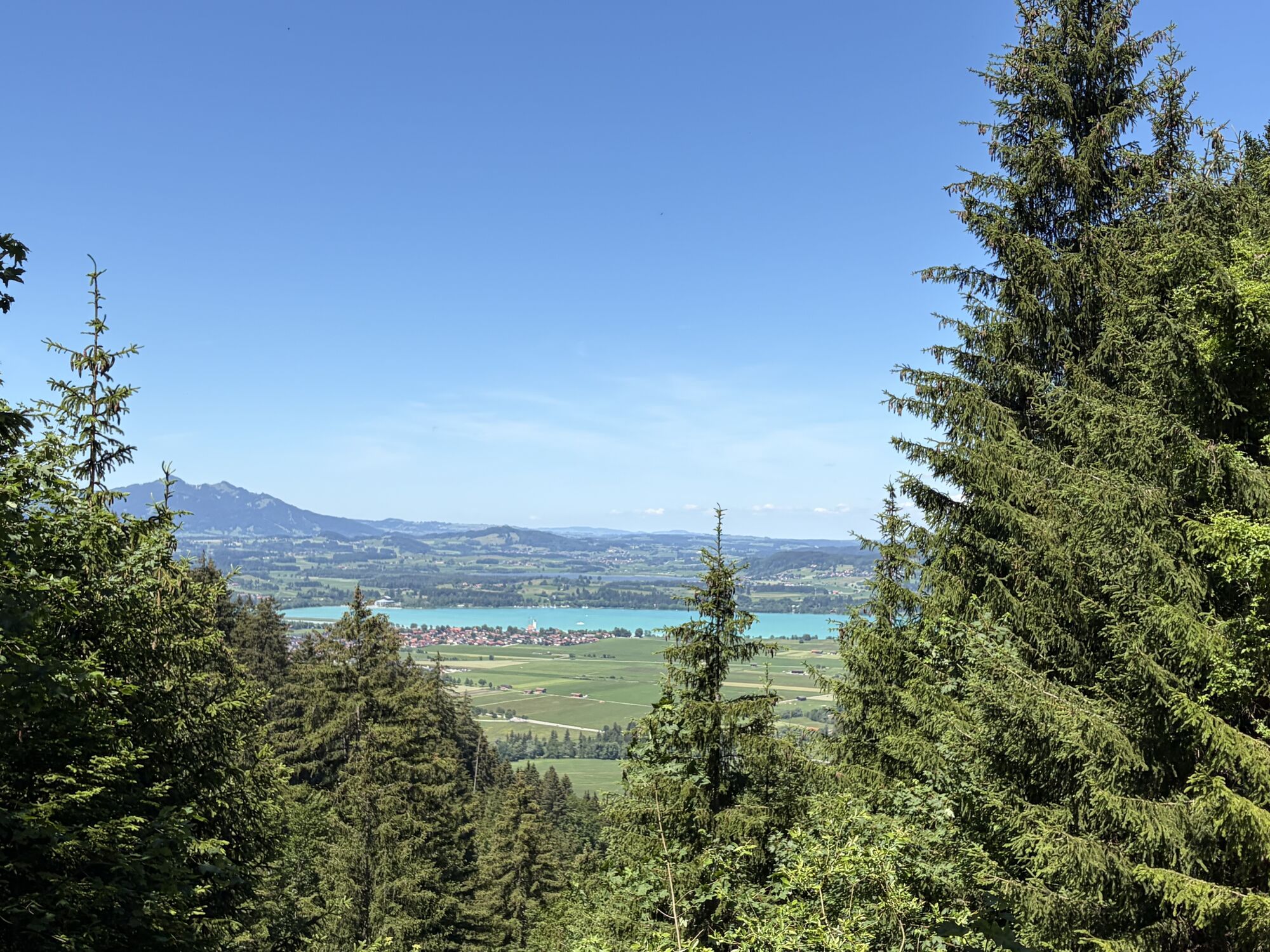
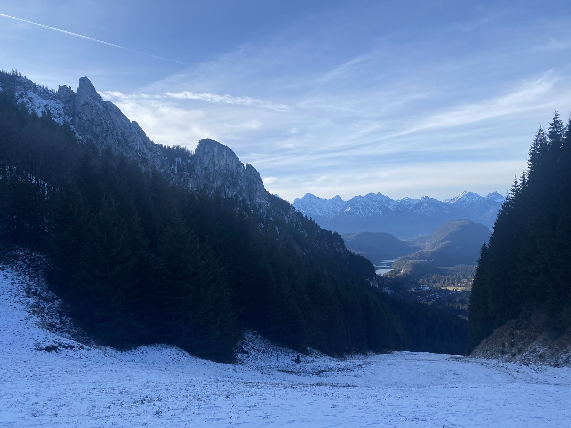
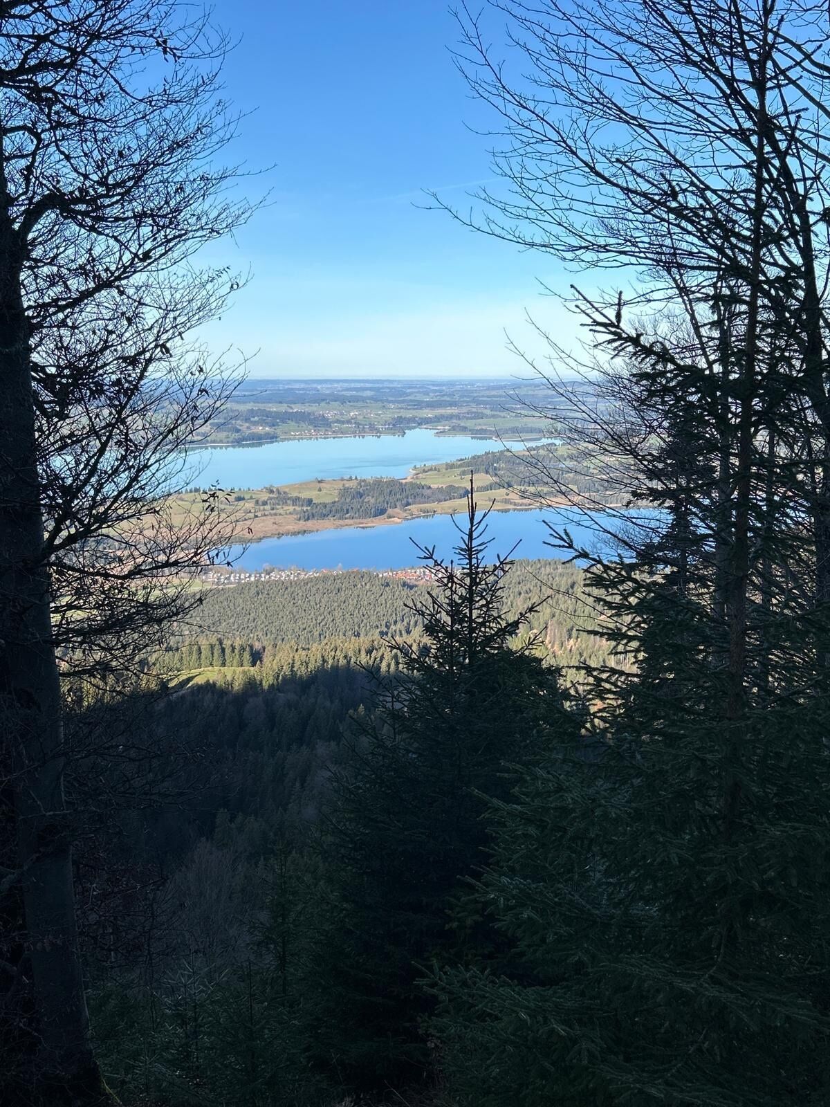
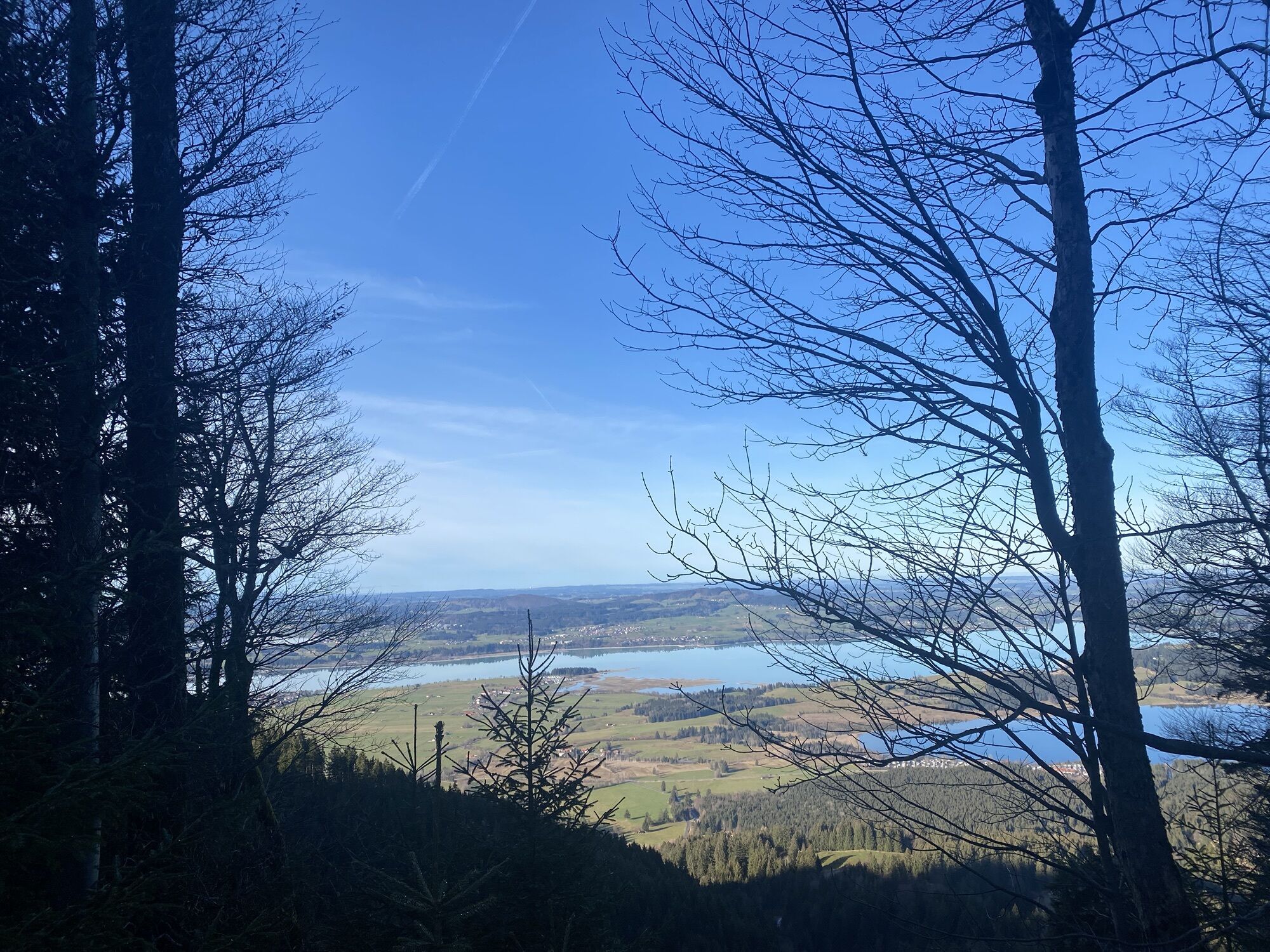
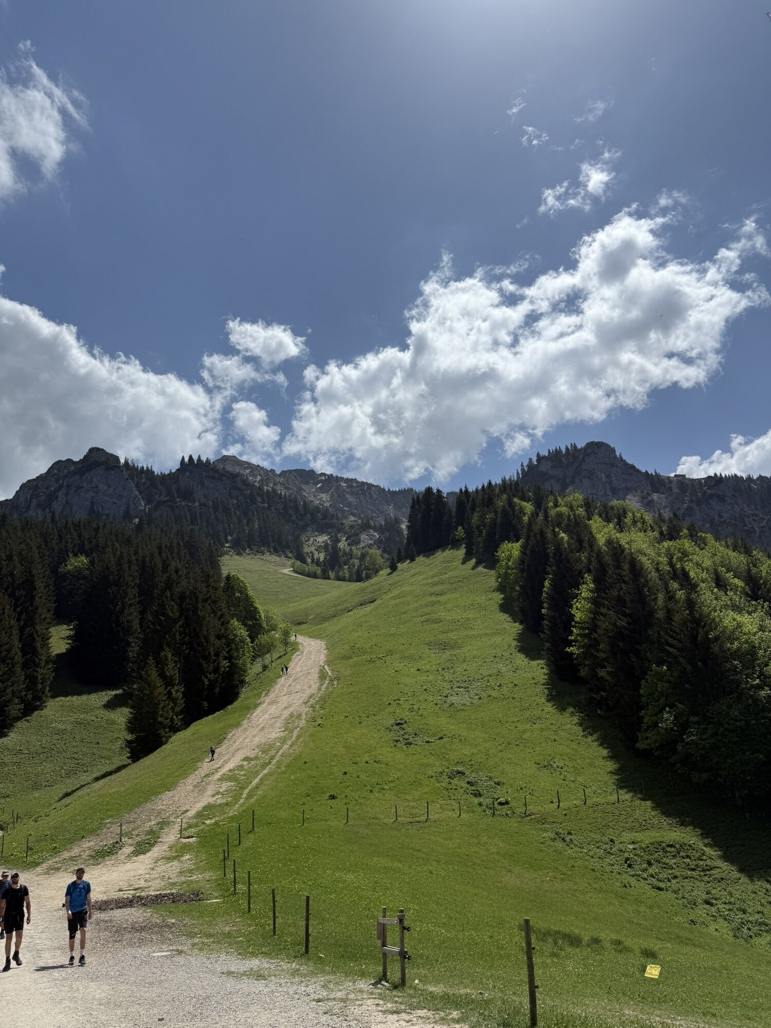
Now a forest road winds about 300 meters uphill through the woods. Time and again, wonderful views open up of the Forggensee and Bannwaldsee. After about an hour, the path forks: to the left, you reach the Drehhütte in a few minutes – the first place to rest –, while the right path continues uphill to the Rohrkopfhütte.
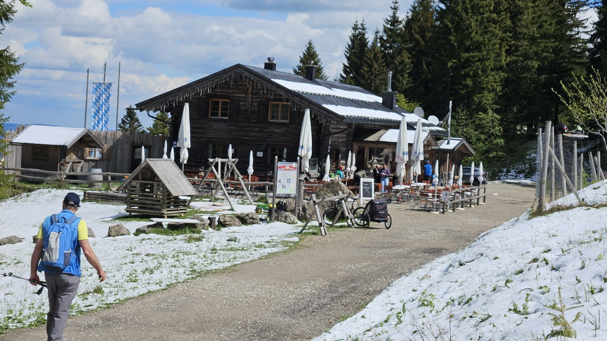
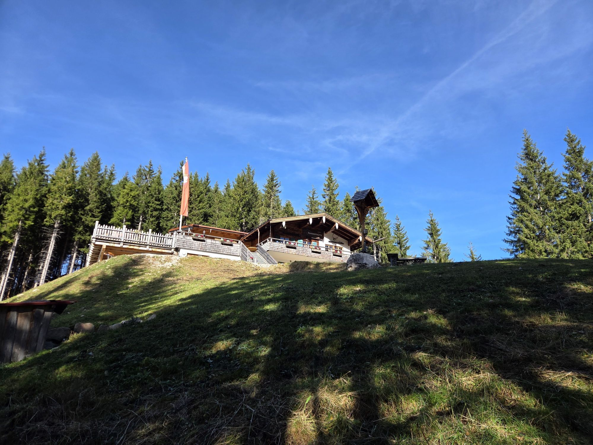
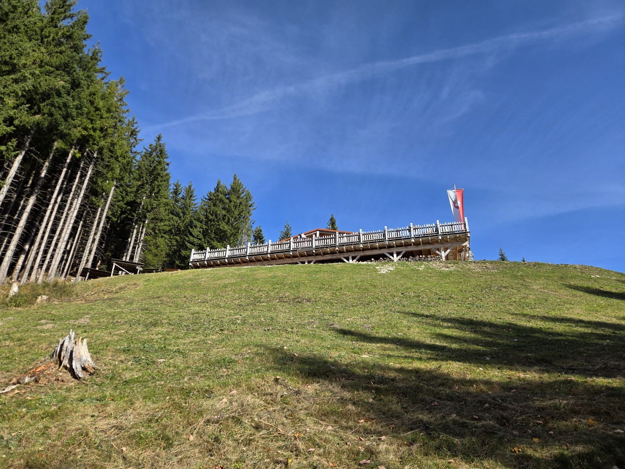
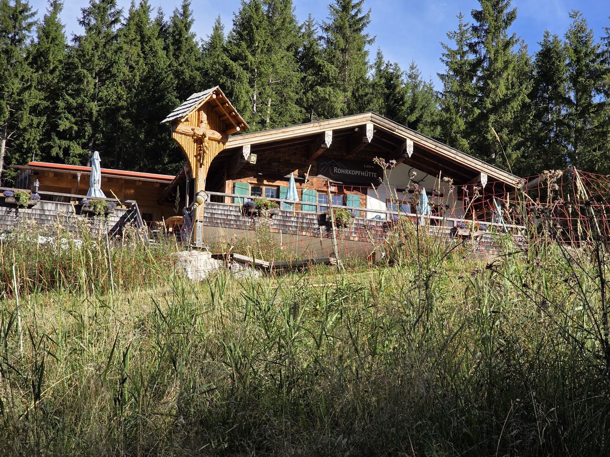
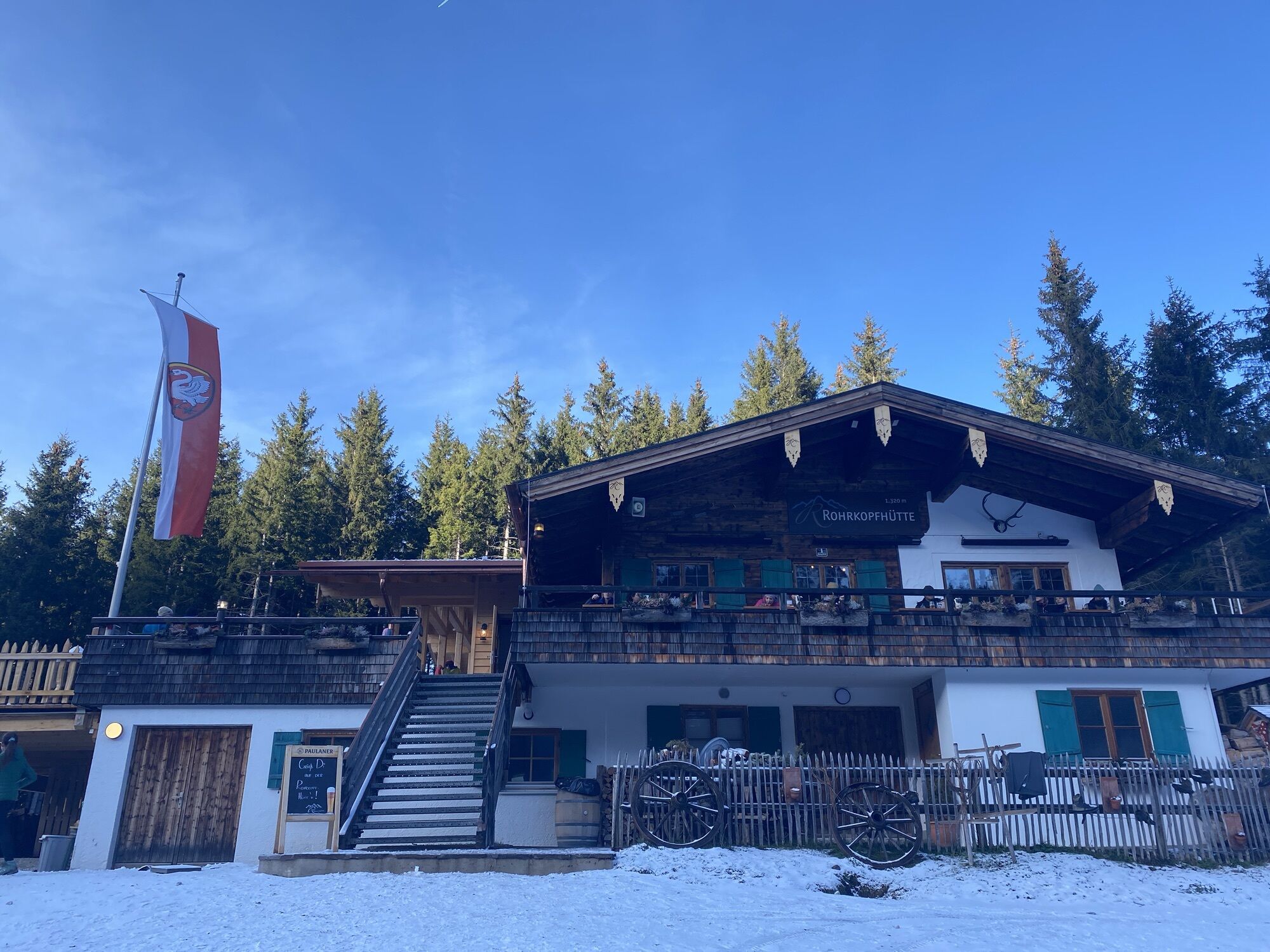
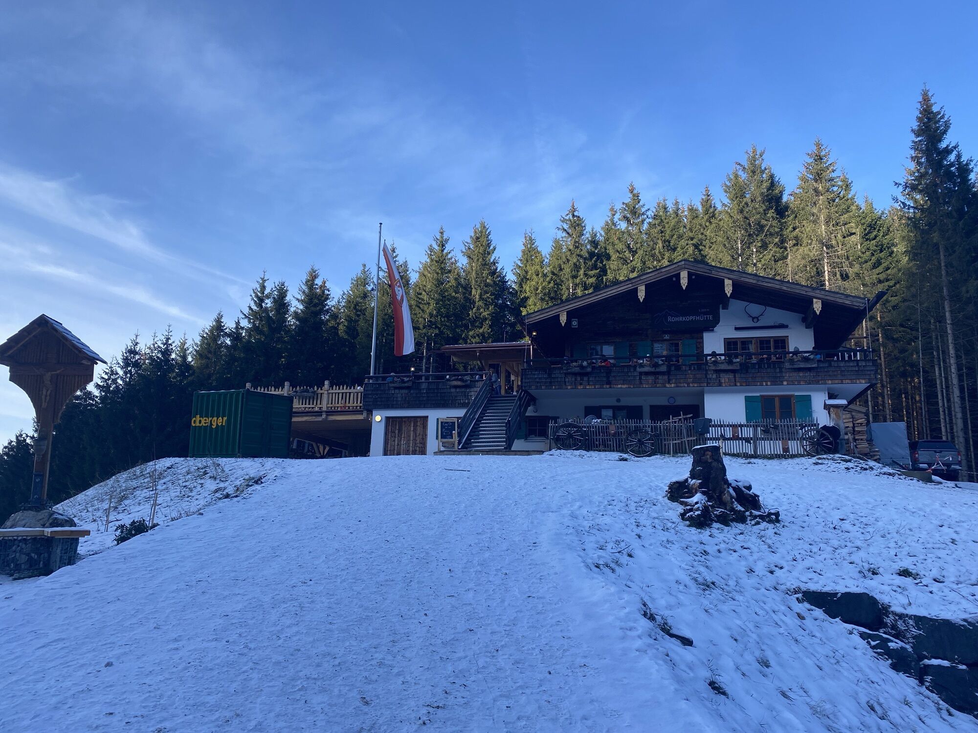
After another approximately 30 minutes of ascent, you reach the Rohrkopfhütte. On the spacious sun terrace, you can enjoy regional specialties – with stunning views of Neuschwanstein Castle as well as the Alp and Schwan lakes.
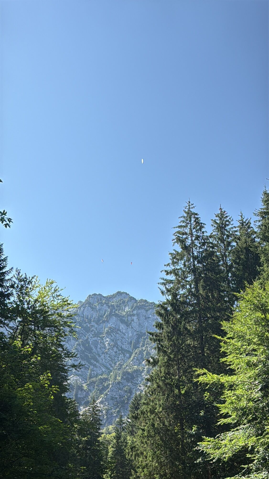
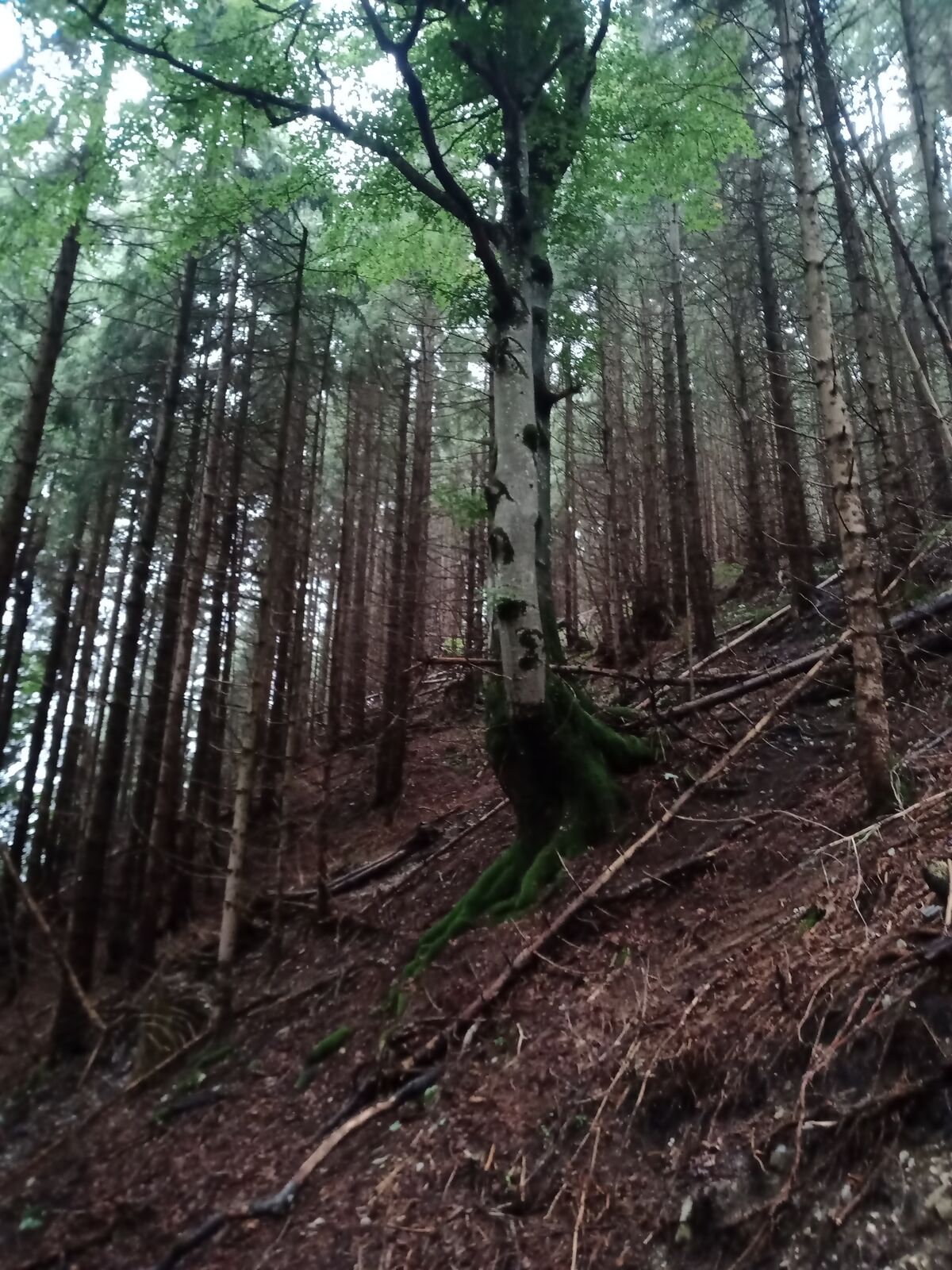
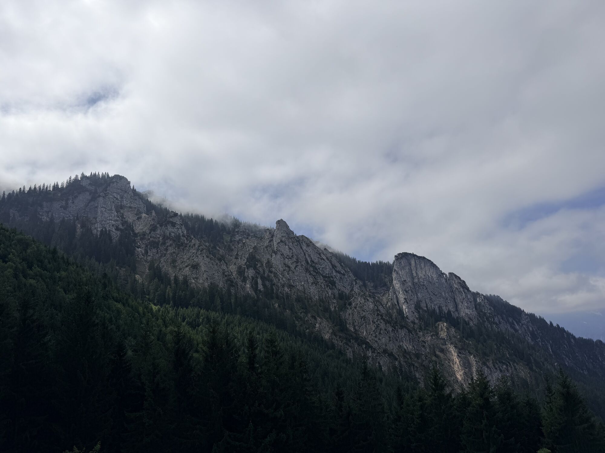
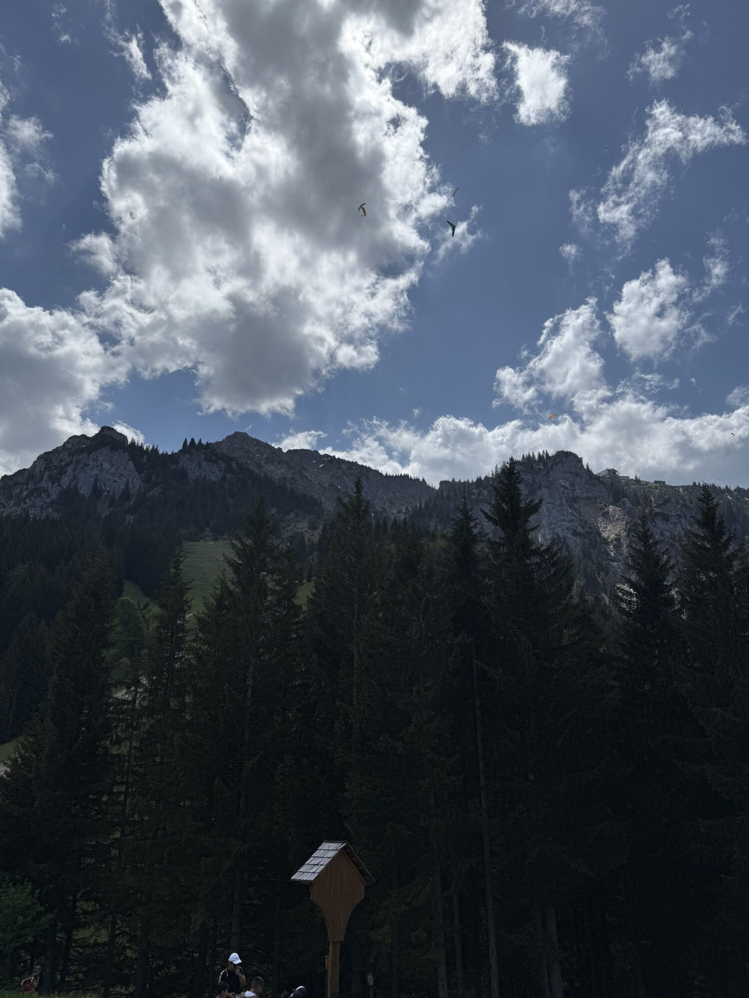
If you still have strength in your legs, shortly before the hut, you can turn onto the Schutzengelweg. This trail leads over another 400 meters in altitude to the top station of the Tegelbergbahn. Alternatively, you can descend to the valley. The return route mostly passes through shaded forest sections but opens up spectacular panoramas again and again: the King's castles, the Allgäu lake district, and the Tannheimer mountains. Along the Schutzengelweg, information panels explain the special features of this unique cultural landscape.
Ano
We recommend: weather-appropriate clothing, hiking boots, poles, drinks, snacks, and a first aid kit.
Follow the signs for Tegelbergbahn.
Accessible by train (Füssen station) and bus (Nos. 73, 78, 9606 or 9651).
You can reach the Tegelberg valley station (Tegelbergstraße 33, 87645 Schwangau) by bus (72, 73, 78, 9606 or 9651) or by car. The hike starts just to the right behind the valley station building.
Paid parking at the Tegelberg valley station.
T1
You can find dining options here.



Webové kamery z prohlídky
Získejte přehled Vždy živě na místě s více než 9 500 webkamerami. bergfex Jako uživatel Pro si nyní můžete zobrazit odpovídající webové kamery pro mnoho prohlídek v aplikaci prohlídky z. Můžete si tak přímo prohlédnout aktuální podmínky. Aktivity na trase

Schwangau, Schwaben/Deutschland
12.08.2026 – Turistika
Schwangau, Bayern/Deutschland
04.08.2026 – TuristikaSchwangau, Schwaben/Deutschland
24.07.2026 – Turistika
Schwangau, Bayern/Deutschland
18.07.2026 – Horská turistika
Schwangau, Bayern/Deutschland
05.07.2026 – TuristikaSchwangau, Bayern/Deutschland
20.06.2026 – Horská turistikaSchwangau, Schwaben/Deutschland
16.06.2026 – TuristikaSchwangau, Bayern/Deutschland
14.06.2026 – TuristikaRohrkopfhütte
11.06.2026 – Horská turistikaSchwangau, Bayern/Deutschland
07.06.2026 – E-MTB
Schwangau, Bayern/Deutschland
02.06.2026 – Turistika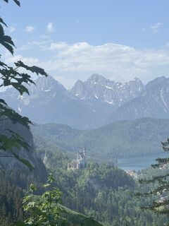
Schwangau, Bayern/Deutschland
25.05.2026 – Turistika
Schwangau, Bayern/Deutschland
12.05.2026 – TuristikaRohrkopf
04.05.2026 – Horská turistikaIlgmösle - nur hoch
06.04.2026 – Horská turistika
Schwangau, Bayern/Deutschland
06.04.2026 – TuristikaRohrkopf nur hoch
22.03.2026 – Horská turistika
Schwangau, Bayern/Deutschland
07.03.2026 – Turistika
Schwangau, Bayern/Deutschland
15.02.2026 – TuristikaSchwangau, Bayern/Deutschland
11.01.2026 – Turistika
Oblíbené prohlídky v okolí
- 4.7
Around Weißensee
světloTuristika 6.12 km - 4.7
Forggensee round
středníJízda na kole 32.5 km - 4.1
Drehhütte
světloTuristika 3.34 km - 4.9
Tegelberg | Branderschrofen | Neuschwanstein
středníTuristika 14.8 km - 4.4
Rundwanderung Stuibenfälle
středníTuristika 3.92 km - 4.6
Yellow Wall Trail, Tegelberg (A)
středníVia ferrata 3.65 km - 4.3
Cultural trail Schutzengelweg
středníTuristika 5.13 km - 3.6
Rundwanderung Plansee
středníTuristika 9.80 km - 4.7
Hochplatte
středníTuristika 10.4 km - 4.6
Schönjöchl am Plansee
středníTuristika 7.21 km
Pěší turistika a stopování


Nenechte si ujít nabídky a inspiraci pro vaši příští dovolenou
Vaše e-mailová adresa byl přidán do poštovního seznamu.





